


De Jungholz à l’alpe Stubental
Niveau de difficulté: 1

Il n’est pas toujours nécessaire de faire du ski, du snowboard ou du ski de fond. Sur près de 81 kilomètres de sentiers damés, les randonneurs se promènent à travers un paysage de contes de fées enneigé....
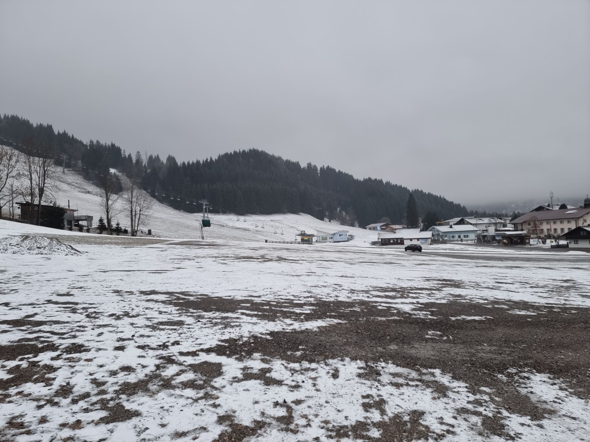
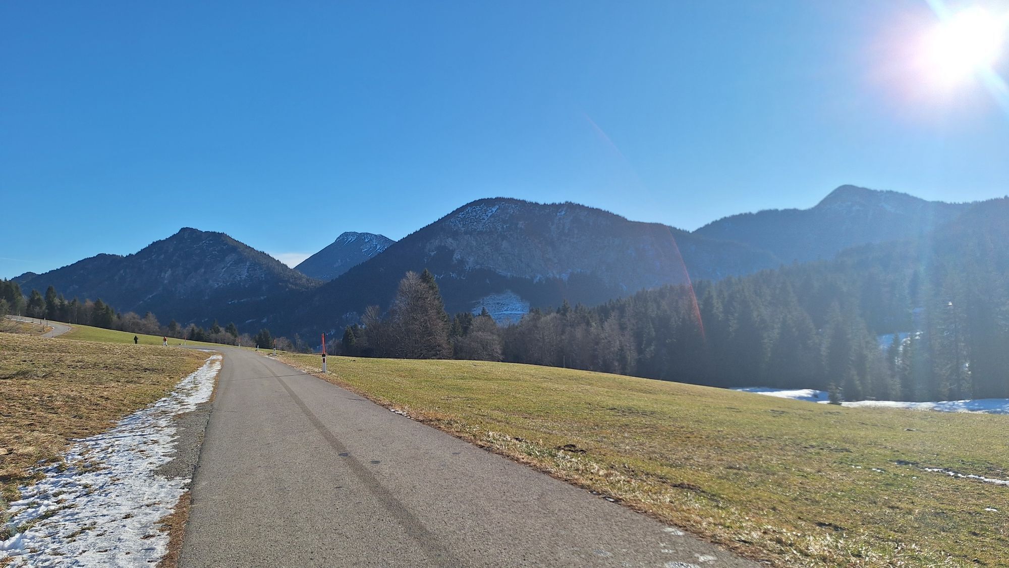
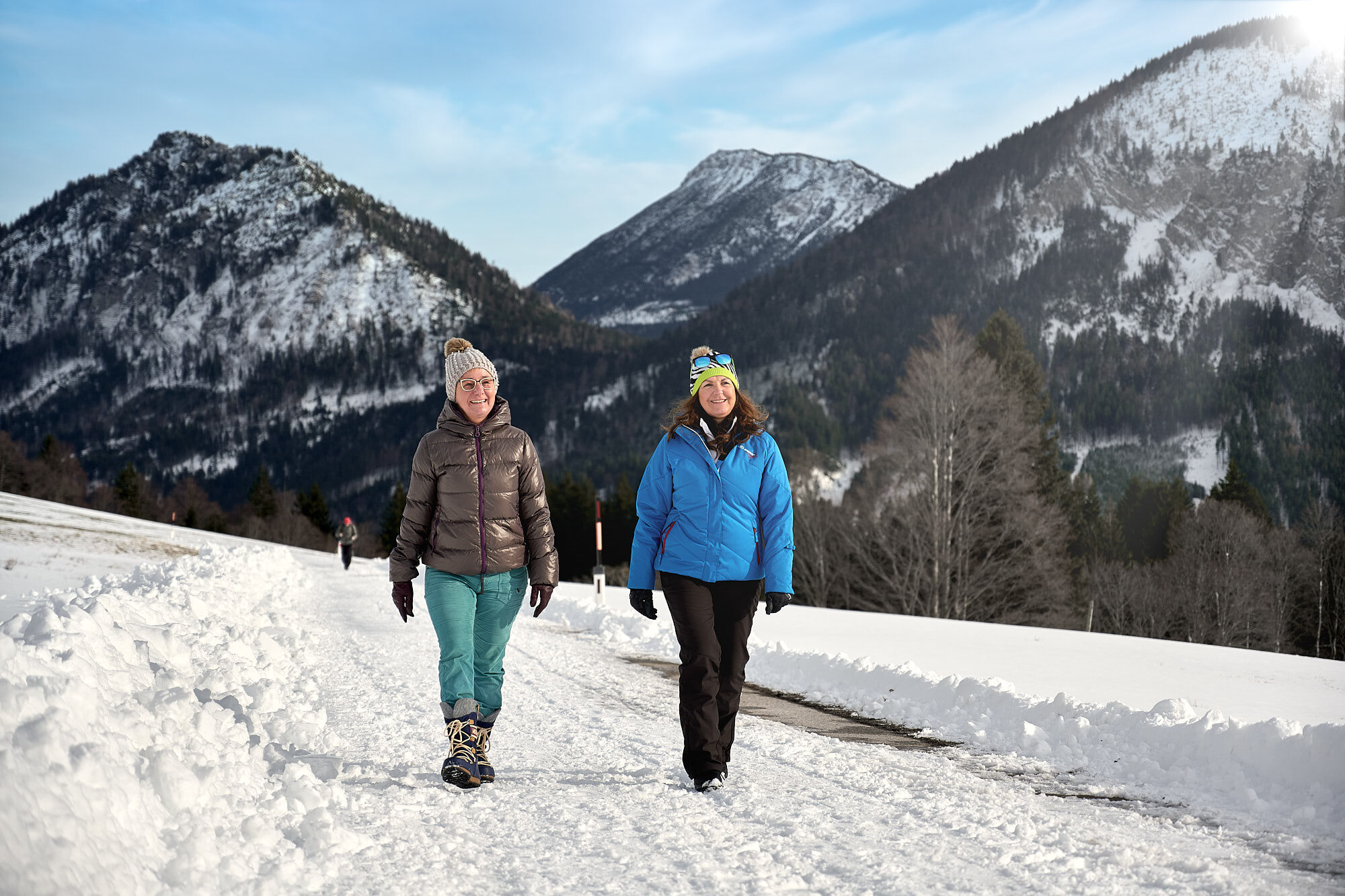
Il n’est pas toujours nécessaire de faire du ski, du snowboard ou du ski de fond. Sur près de 81 kilomètres de sentiers damés, les randonneurs se promènent à travers un paysage de contes de fées enneigé. En chemin, des cabanes accueillantes invitent à la pause. S’asseoir au coin du feu, se réchauffer avec un Jaga-Tee ou refaire le plein avec une collation pour les prochains kilomètres – voilà comment profiter pleinement des balades dans la neige.


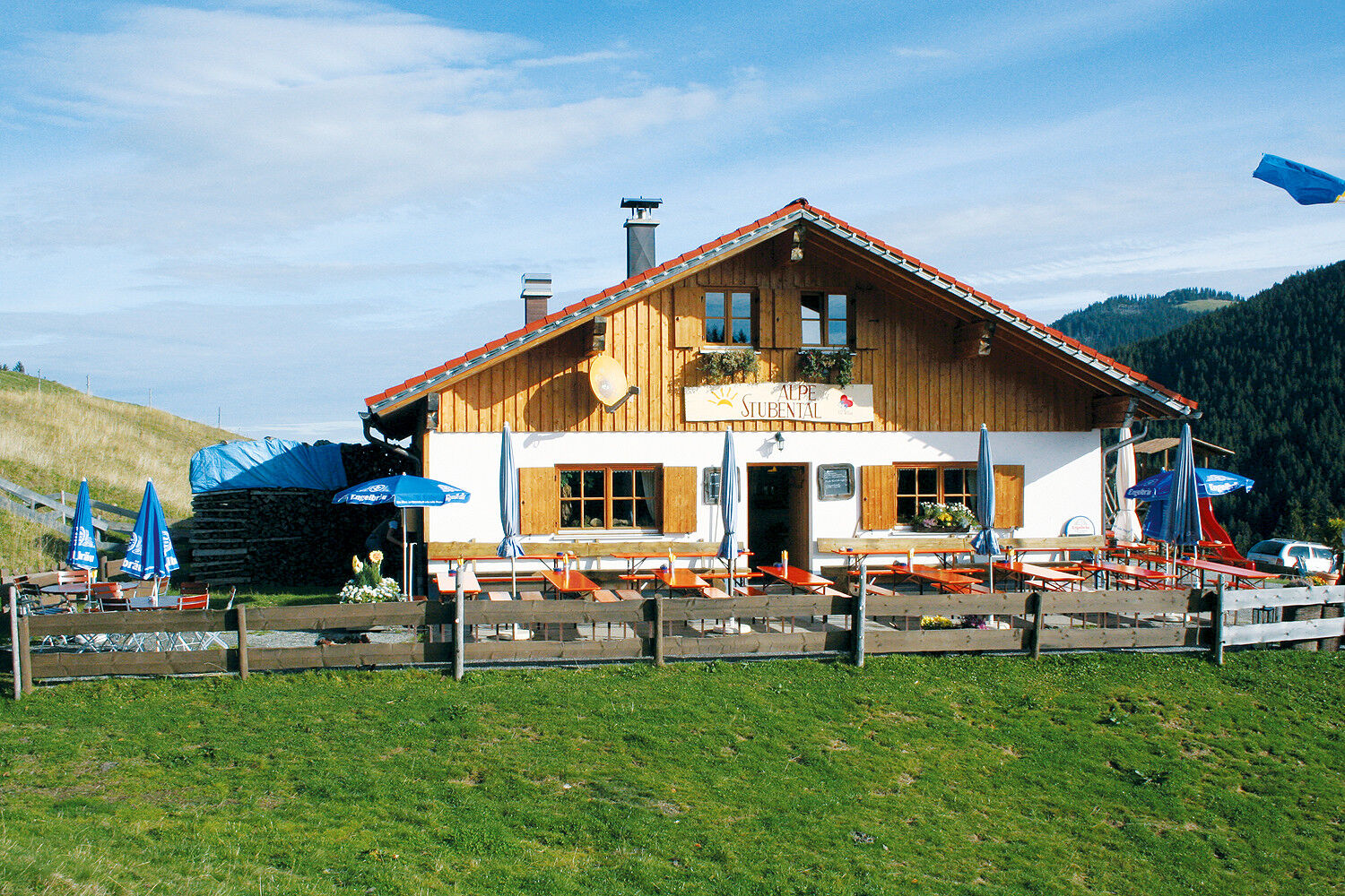
Du pars du parking des remontées mécaniques en direction de l’église. Tourne à droite au kiosque à musique et suis la route jusqu’au quartier Langenschwand, puis continue jusqu’à la sortie du village. Ici, le chemin bifurque à gauche vers l’alpe Stubental. Après une halte, tu peux retourner à pied ou en luge, que tu peux louer à la cabane, vers Langenschwand ou Jungholz.
Un équipement moderne et bien entretenu (chaussures, bâtons et vêtements) offre non seulement une sécurité accrue, mais facilite aussi considérablement la randonnée hivernale. N’oublie pas la protection solaire (facteur élevé et éventuellement des lunettes de soleil) ainsi qu’une quantité suffisante de liquide.
Il faut noter que la randonnée hivernale comporte également un risque accru d’accidents et de blessures. En hiver, il est particulièrement important de faire attention à l’état du chemin. Des vêtements adaptés, de bonnes chaussures et éventuellement des bâtons de marche apportent une sécurité supplémentaire. Reste sur les sentiers balisés.
Depuis le Tyrol, passe par Reutte sur la B198 en direction de Lechtal jusqu’à Weißenbach, ensuite par le col de Gaicht le long de la B199 à travers la vallée de Tannheimer jusqu’à Oberjoch. Là, tourne à droite en direction de Wertach et à la signalisation "Jungholz", tourne à droite en direction de Jungholz, vers les parkings aux remontées mécaniques de Jungholz.
Prends le train jusqu’à Sonthofen, Oy ou Reutte, puis continue en bus jusqu’à Jungholz.
Aux parkings des remontées mécaniques - gratuit
1
Tourismusverband Tannheimer Tal
Alpe Stubental
Le gardien de la cabane Karl est toujours prêt à plaisanter.
Webcams de la tournée
Parcours populaires à proximité
- 4,8
Autour du Weißensee
facileRandonnée 6,12 km - 5,0
Randonnée en montagne sur le Breitenberg
difficileRandonnée 15,6 km - 4,8
Tannheim / Vilsalpsee / Landsberger Hütte
moyenRandonnée 15,7 km - 3,9
Klassikertour: Auf den Grünten
difficileRandonnée 8,50 km - 5,0
Gemeinde Grän, Tirol/Österreich Aggenstein Rundtour über Höhenweg
moyenRandonnée 9,84 km - 4,7
3-Gipfel-Tour
moyenRandonnée 11,2 km - 4,2
Parcours des trois lacs (distingué par le label de qualité des sentiers de montagne du Tyrol)
moyenRandonnée 14,8 km - 4,6
3-Seen Rundtour Vilsalpsee / Schrecksee / Traualpsee
moyenRandonnée 17,1 km - 4,9
Iseler und Kühgundkopf
moyenRandonnée 7,63 km - 4,4
Wanderung auf den grünten
moyenRandonnée 8,31 km

Randonnée et suivi


Ne manquez pas les offres et l'inspiration pour vos prochaines vacances
Votre adresse électronique a été ajouté à la liste de diffusion.