


Wildseeloderhaus - Wildseelodergipfel (2118 m)


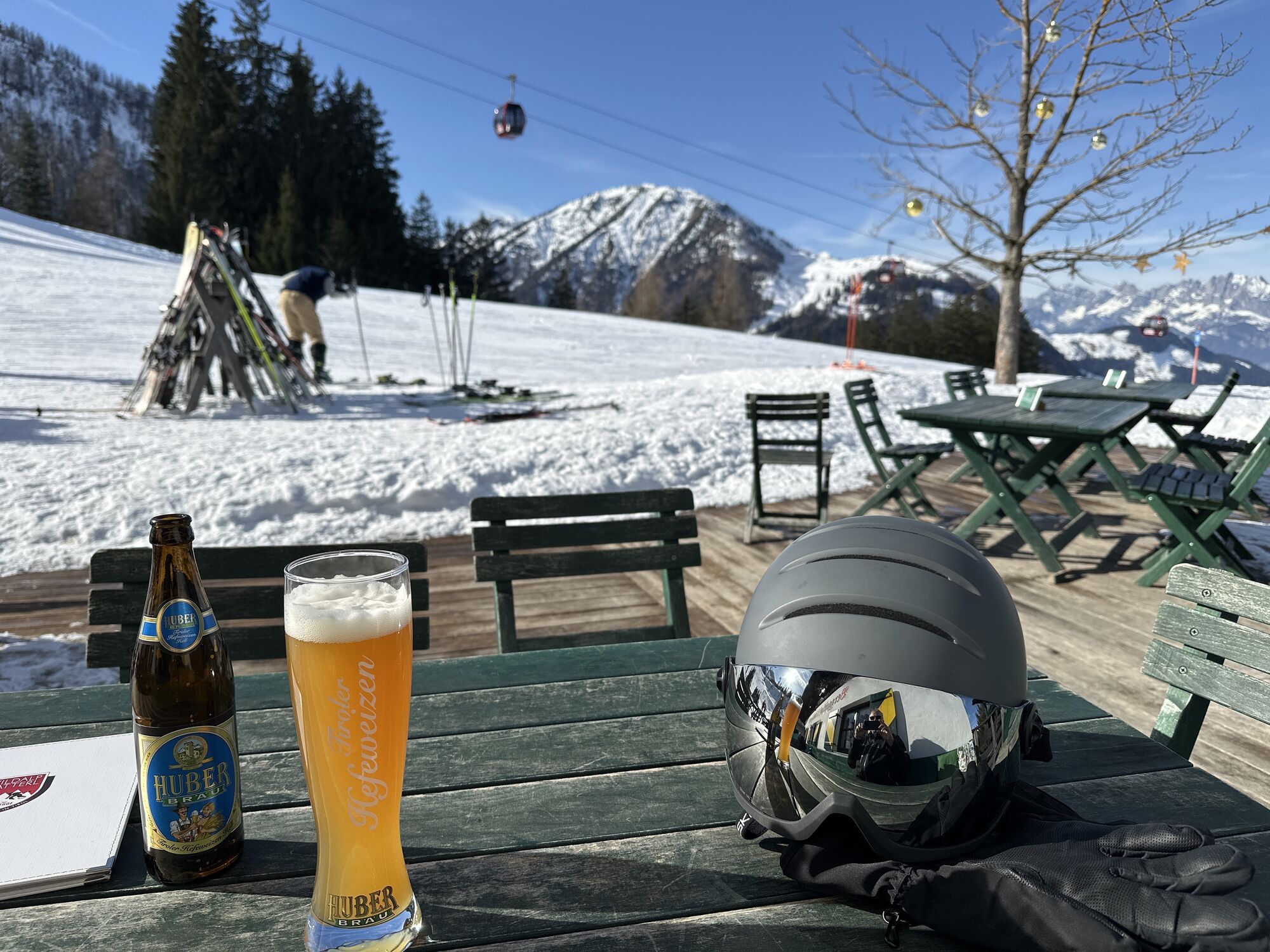
From the village center take the path AV-711 via Rettenwand and Lucht to the Streuböden Alm. First walk to the Wildalpgatterl and then right to the Wildalm and further on to the Wildseeloderhaus. From...
From the village center take the path AV-711 via Rettenwand
and Lucht to the Streuböden Alm. First walk
to the Wildalpgatterl and then right to the Wildalm and
further on to the Wildseeloderhaus. From the refuge the
path leads along the right side of the lake up to a treeless
hillside and further along the „Seewand“ towards
the „Törl“. Through the jag and over a soft ridge you
reach the peak in approx. 45 min. By using the cable
car the walking time will be reduced to 2:15 hours.


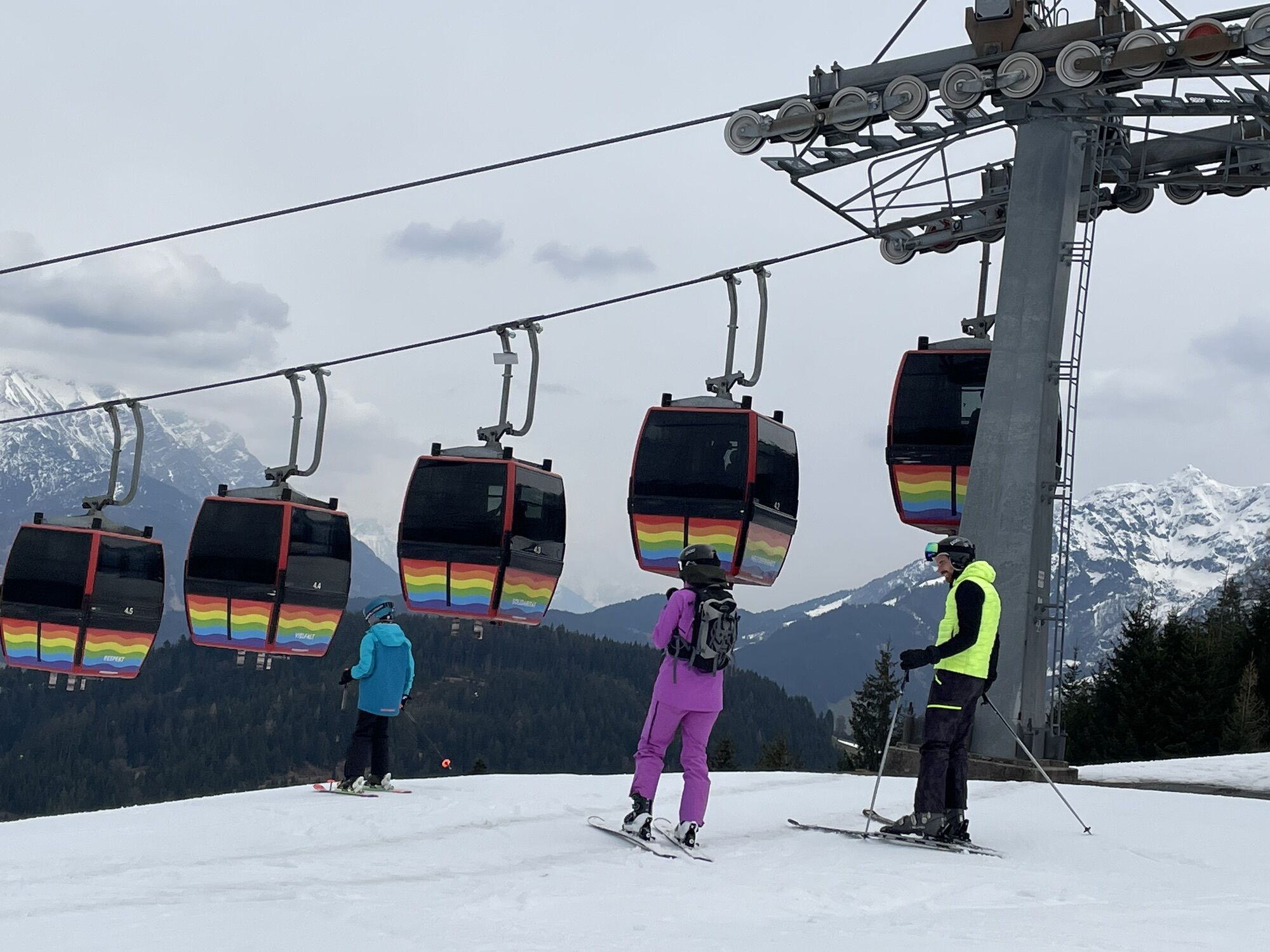
Variante: Mit den Bergbahnen Fieberbrunn bis zum Lärchfilzkogel, von hier hinunter zur Wildalm und weiter wie oben beschrieben (Gehzeit 2 Stunden)
Streuböden Alm, Wildalpgatterl, Wildseeloderhaus
Wanderkarte Mayr Nr. 61, Wanderkarte Alpenweltverlag Nr. A032, Wanderkarte Kompass Nr. 29
Oui
Von Westen/Süden kommend: Über Innsbruck - Ausfahrt Wörgl Ost - B178 nach St. Johann in Tirol - abbiegen auf die B164 nach Fieberbrunn/PillerseeTal.
Von Osten kommend: Über Salzburg A1 - Ausfahrt Salzburg West oder Ausfahrt Bad Reichenhall (A8) - B21 (D) zur B 178 (A) über Lofer nach Waidring/PillerseeTal und weiter auf der Pillerseestraße L2 nach Fieberbrunn.
Parcours populaires à proximité
- 4,7
Tristkogel
difficileRandonnée15,6 km - 4,7
Grießbachklamm - Almenrunde
facileRandonnée12,4 km - 4,9
Streif Wanderweg
moyenRandonnée5,73 km - 4,2
Spielbergalmen
moyenRandonnée10 km - 5,0
Manlitzkogel
difficileRandonnée13,4 km - 4,6
Kitz Bhf- Kitzbühler Horn und zurück zum Alpenhaus
moyenRandonnée11,8 km - 4,9
Loferer Steinberge, zum Hinterhorn über die Schmid-Zabierow Hütte, 19.06.22
difficileRandonnée14,0 km Route 232: Hahnenkamm
VTT15,1 km- 4,0
Mountain of Senses
facileRandonnée4,39 km - 3,3
Hinterglemm: Talschluß-Höhenweg
facileRandonnée10,8 km
Randonnée et suivi


Ne manquez pas les offres et l'inspiration pour vos prochaines vacances
Votre adresse électronique a été ajouté à la liste de diffusion.