
Ski tour Hoher Bösring 2.324m
moyen
Télécharge cette visite sur ton portable
Ski tour Hoher Bösring 2.324m
moyen
Ski de randonnée
4,76
km
Scanner le code QR et commencer la navigation dans l'application bergfex


Randonnée & tracking




Ski tour Hoher Bösring 2.324m
moyen
Distance
4,76
km
Durée
03:00
h
Ascension
896
m
Altitude
1 380 -
2 291
m
Téléchargement de la piste
Ski tour Hoher Bösring 2.324m
moyen
Ski de randonnée
4,76
km
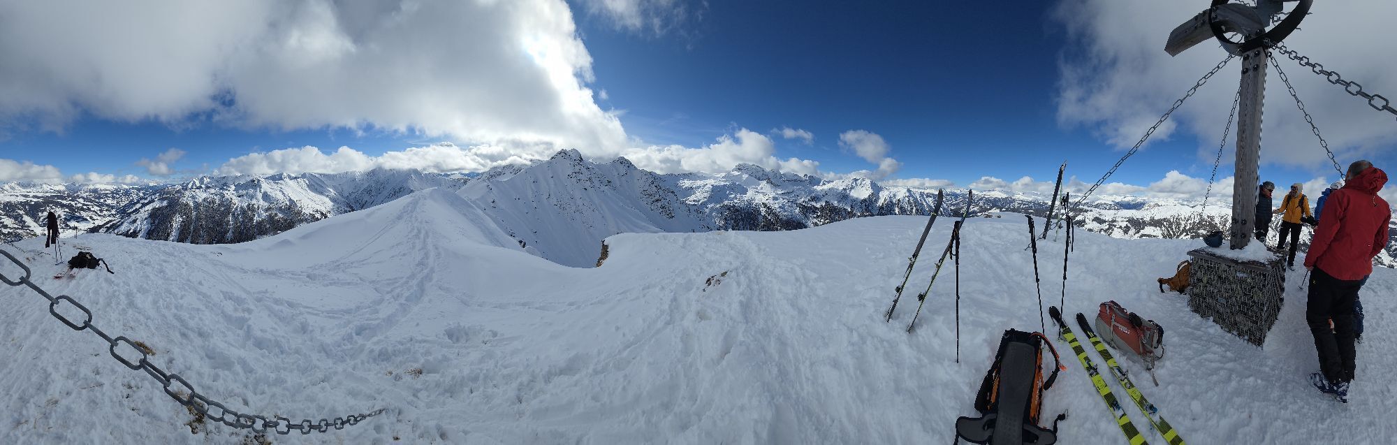
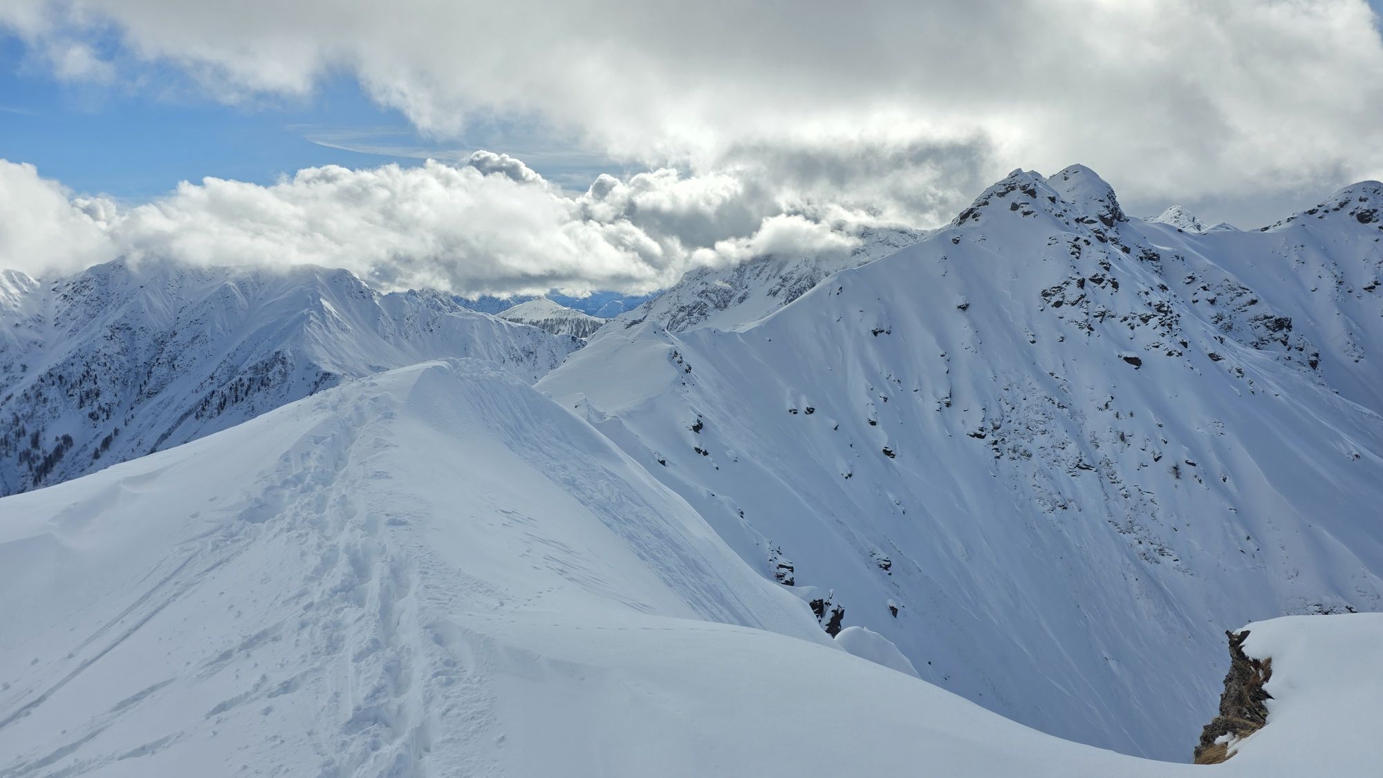
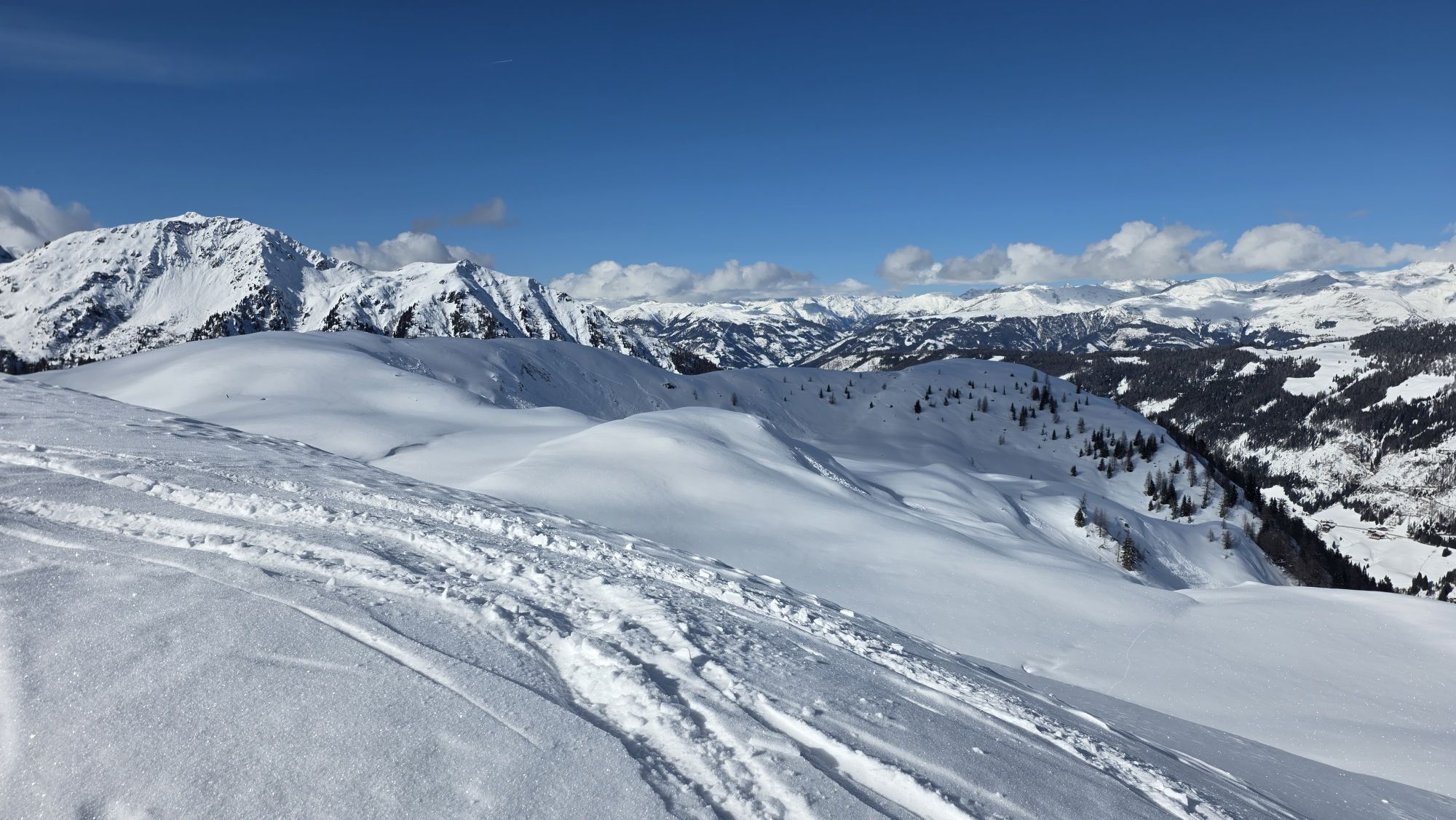
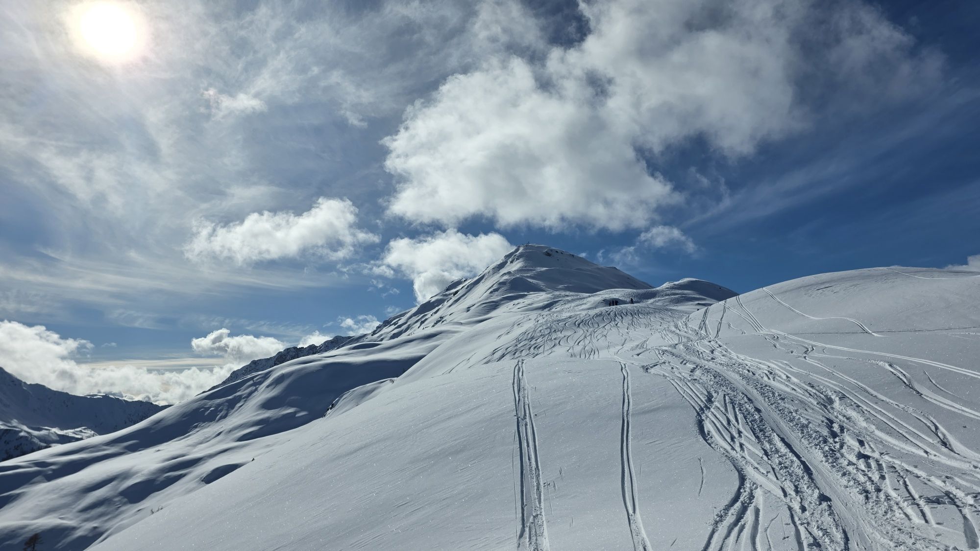
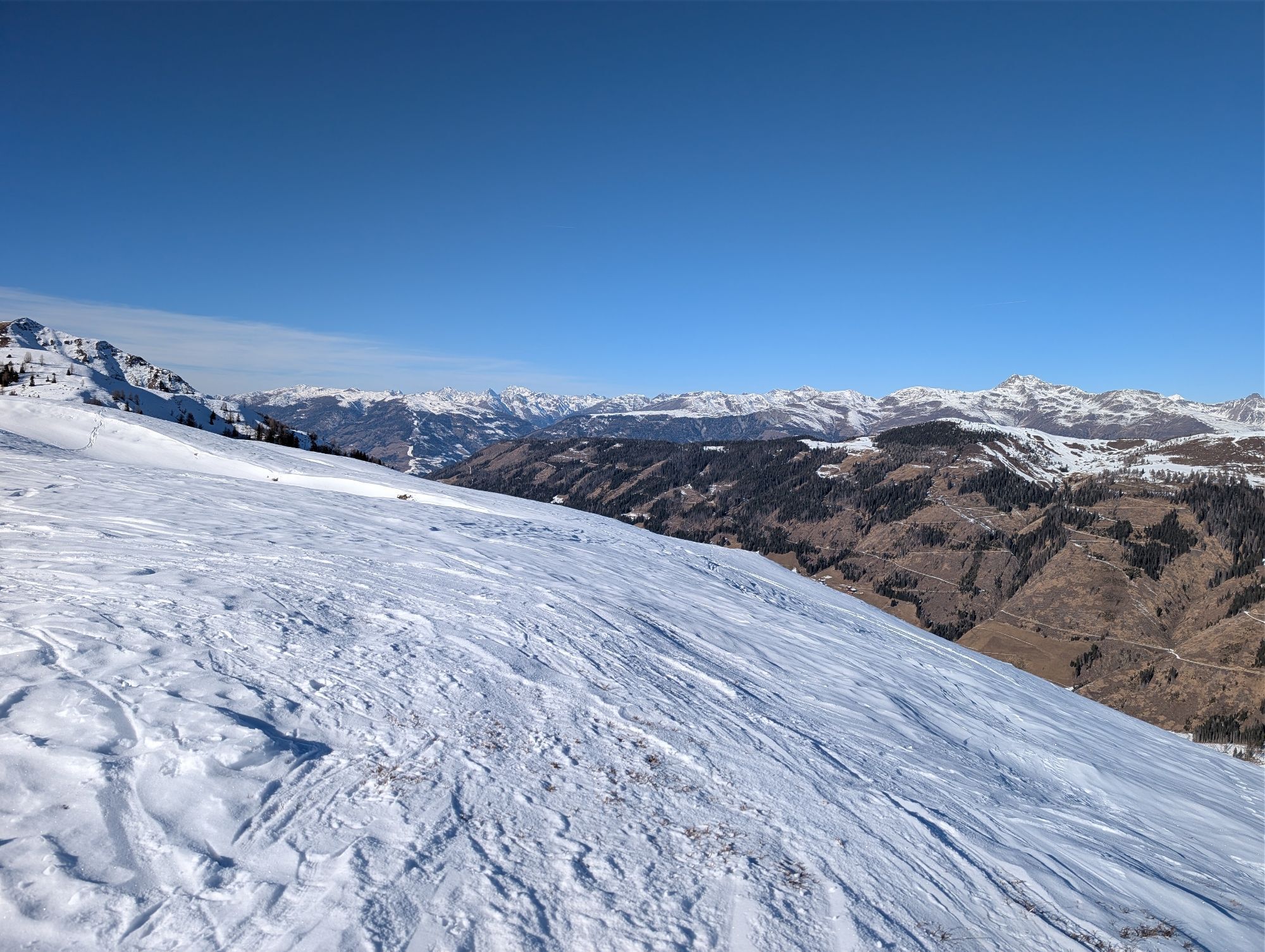
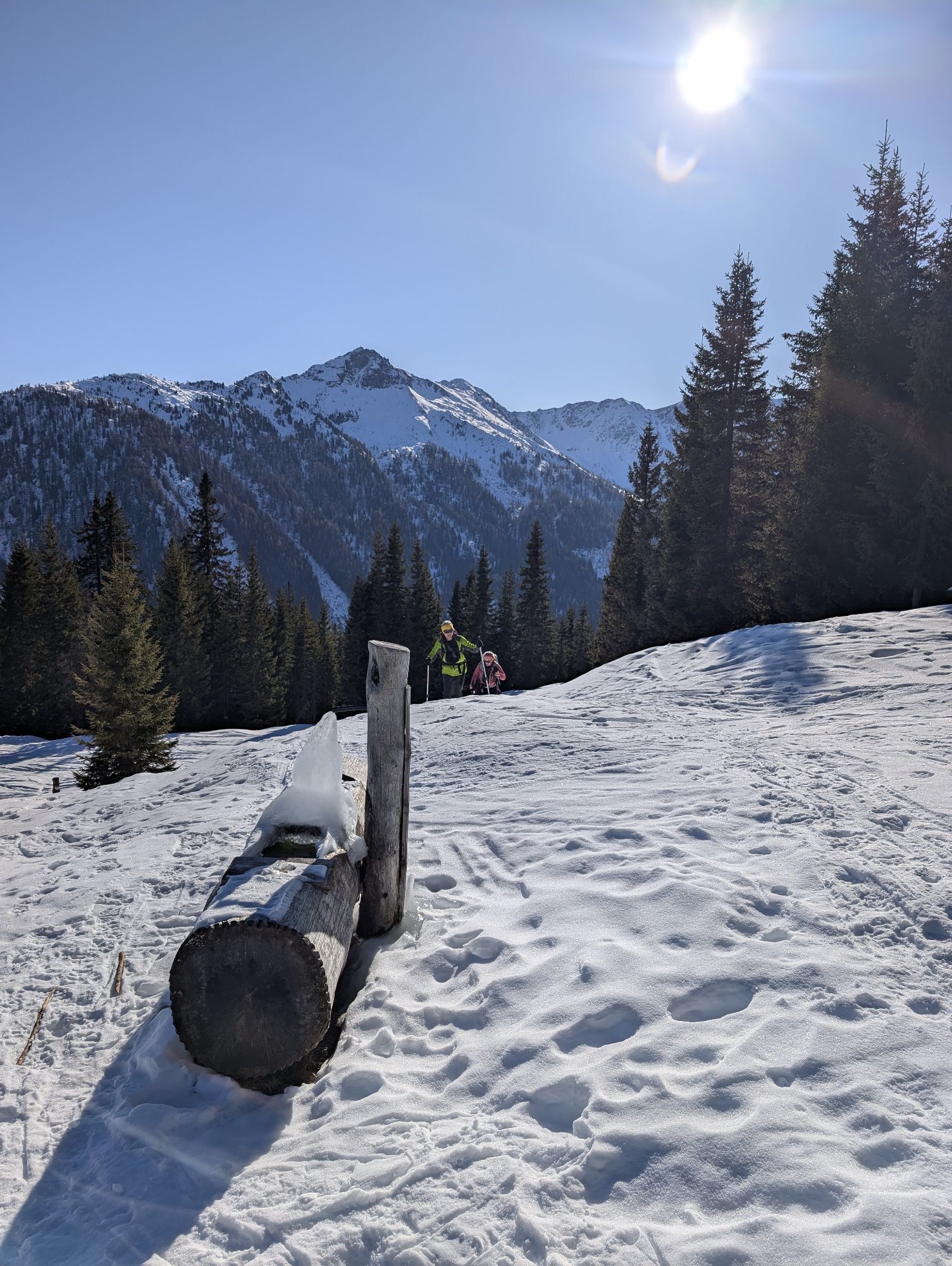
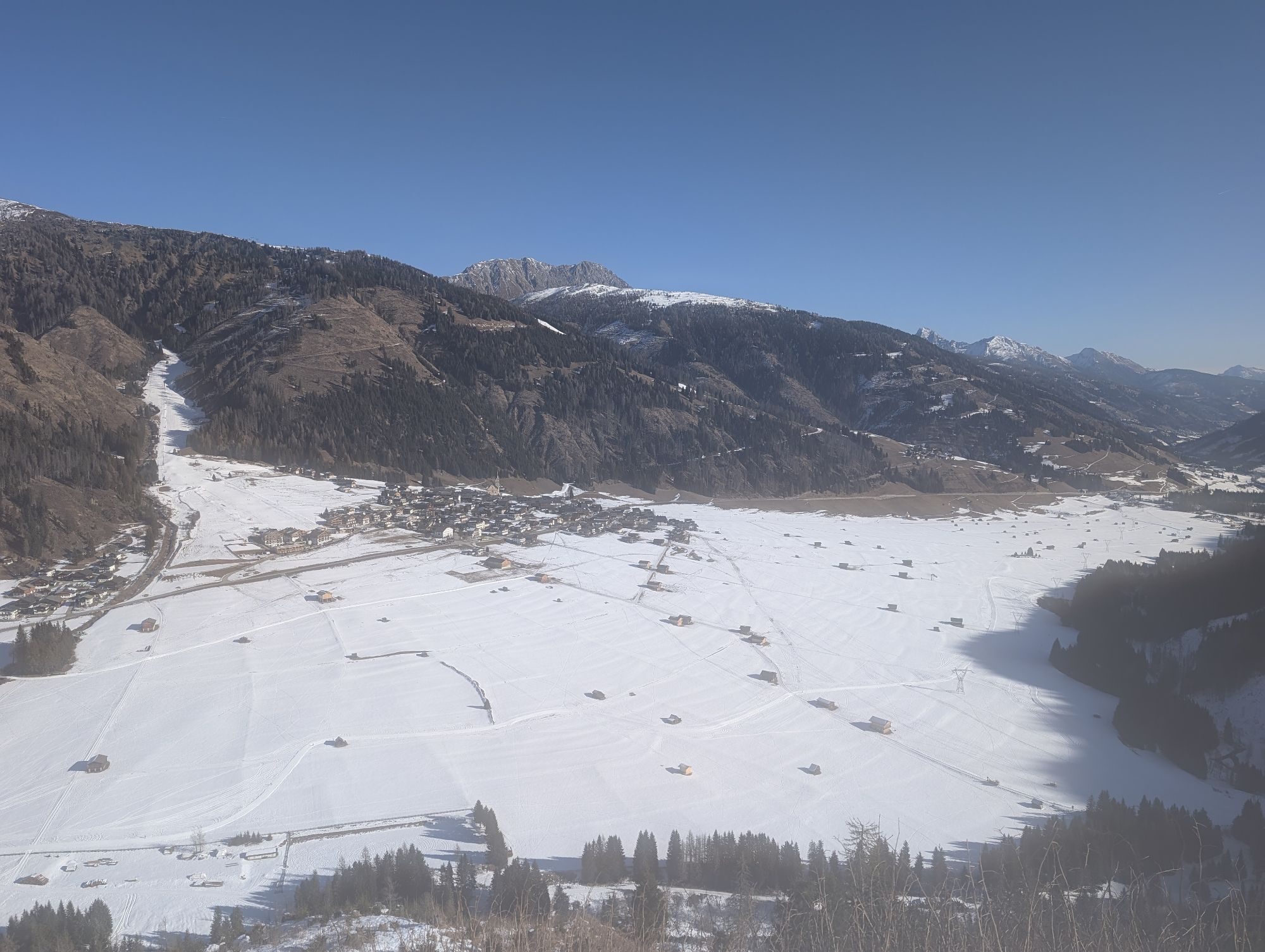
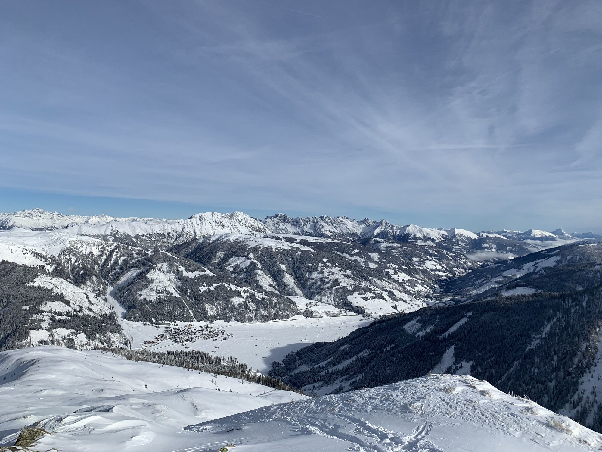
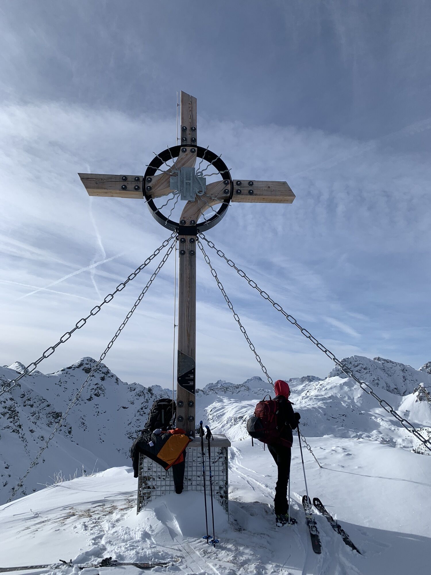
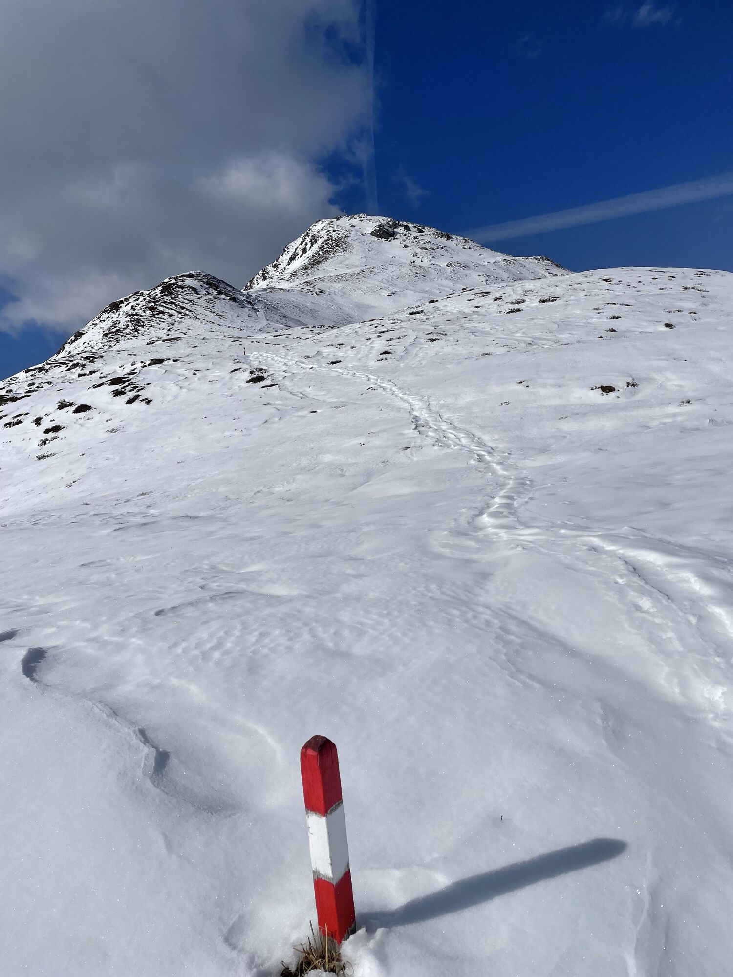
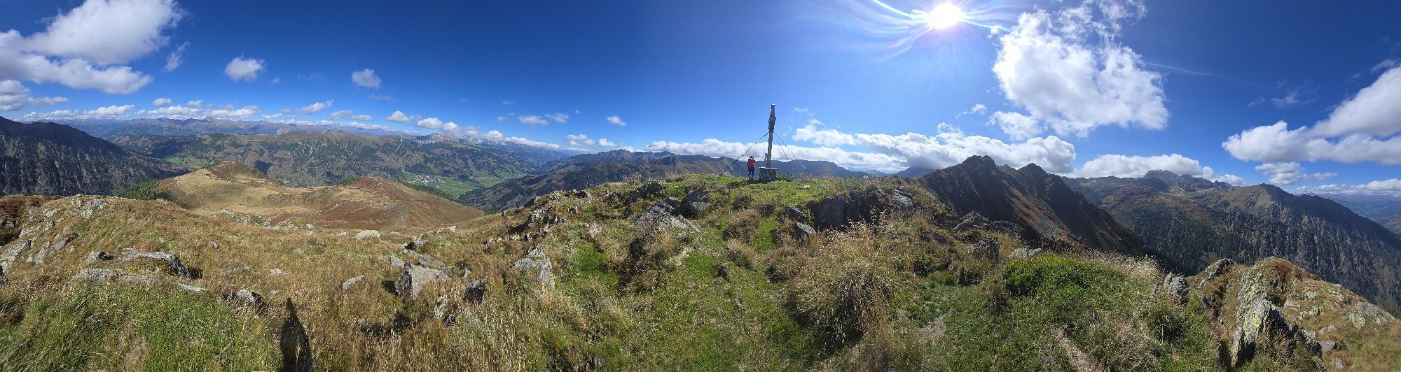
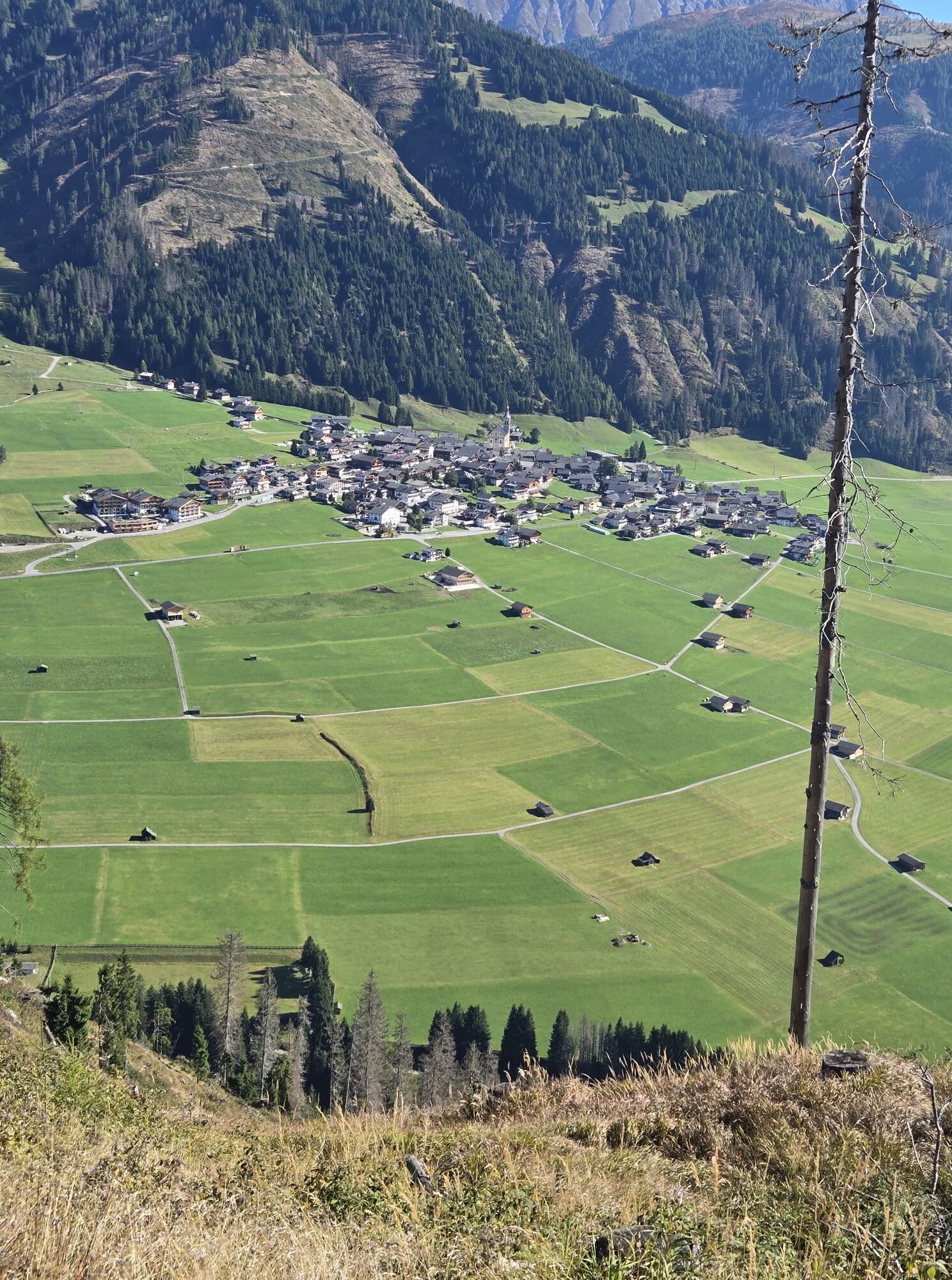
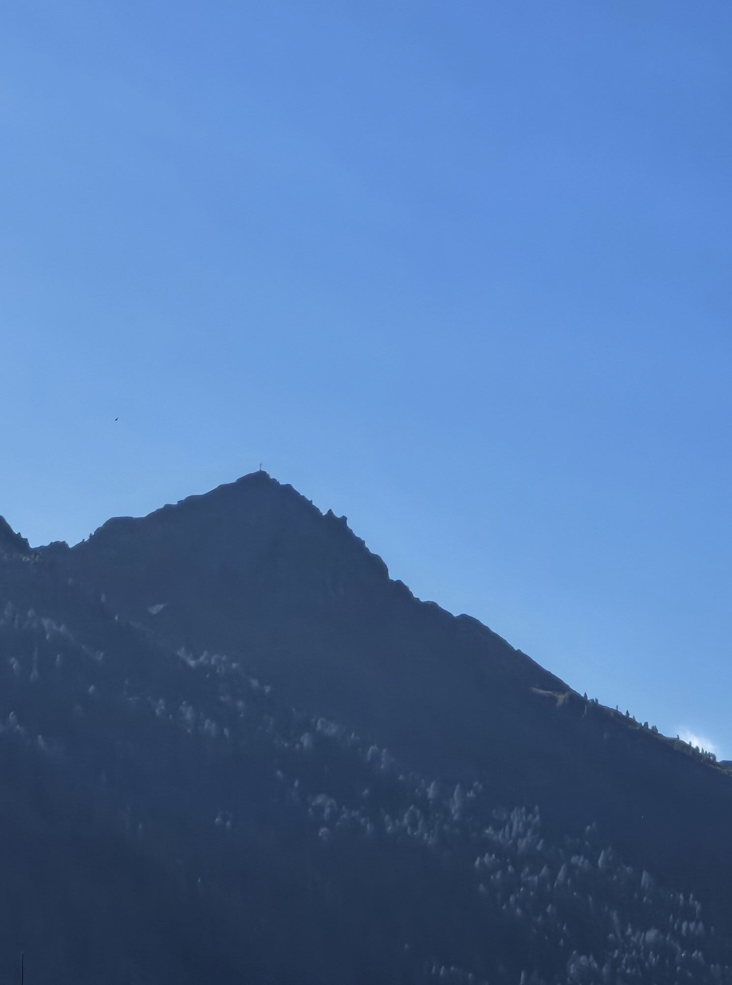
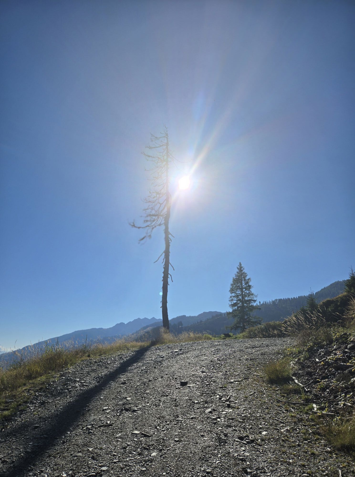
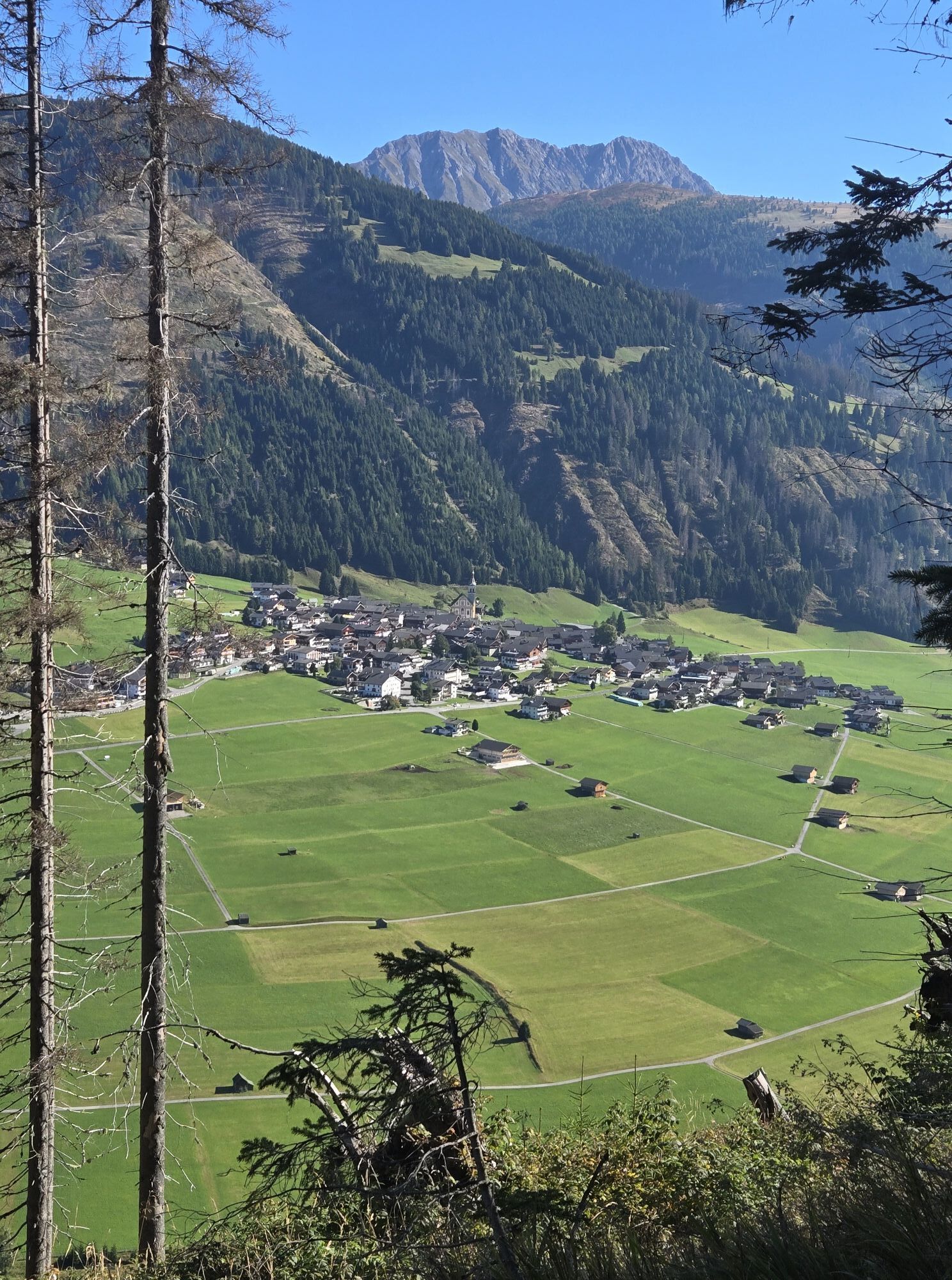
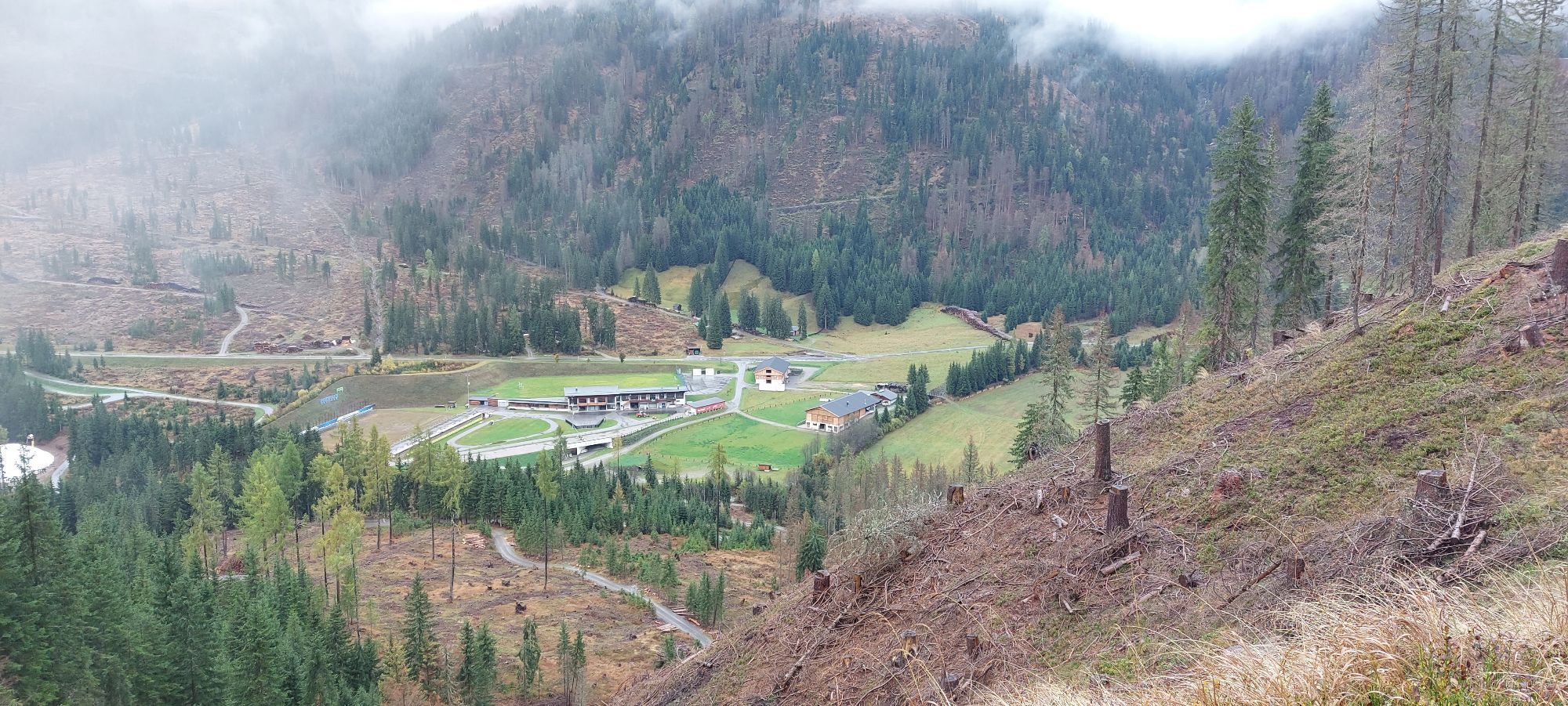
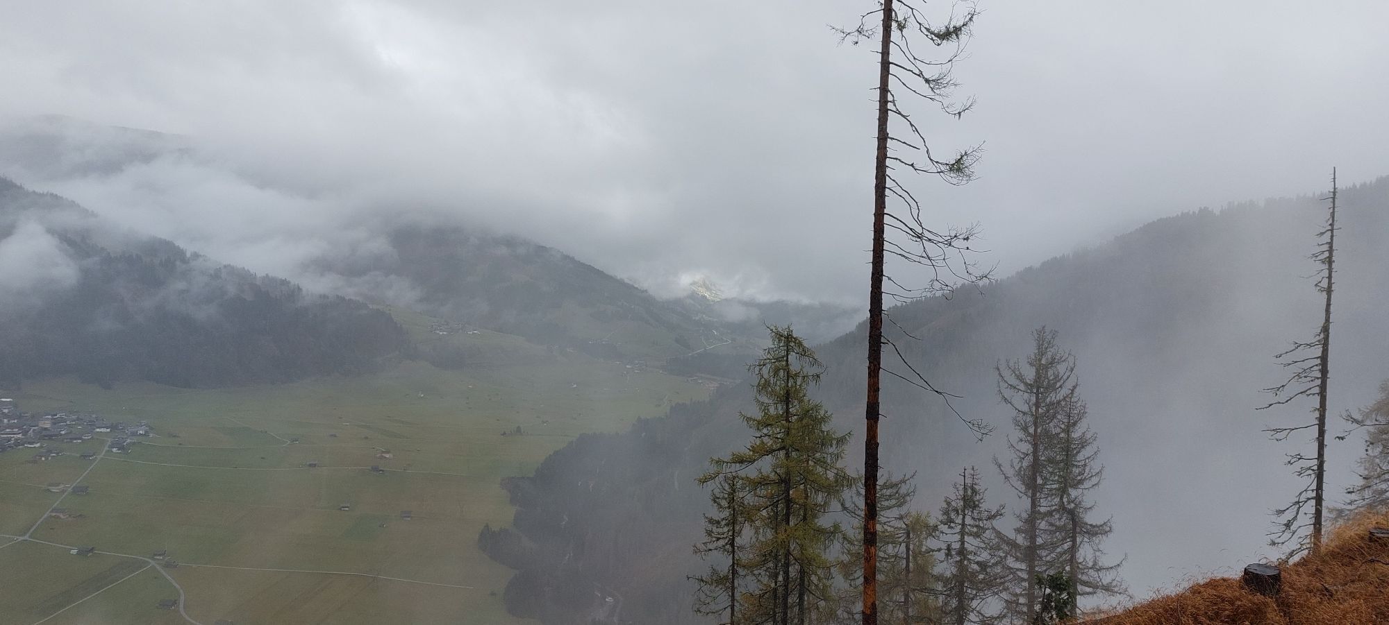
The ridge of the Hoher Bösring is in the shaded side of Obertilliach and separates Obertilliacher Tal from Leitental. The domed peak rises gently from the steep protected forest and is great for a trip...
Description
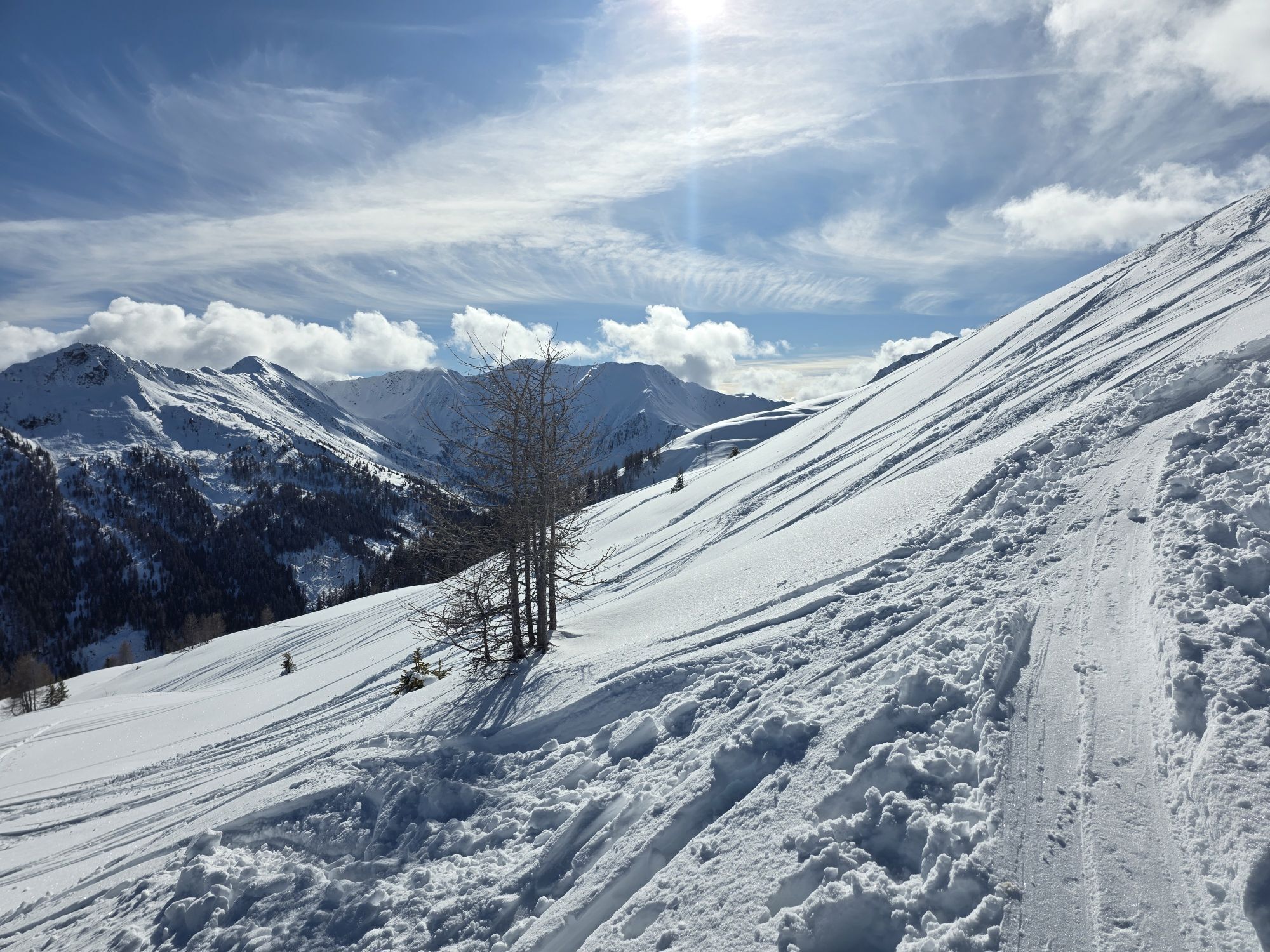
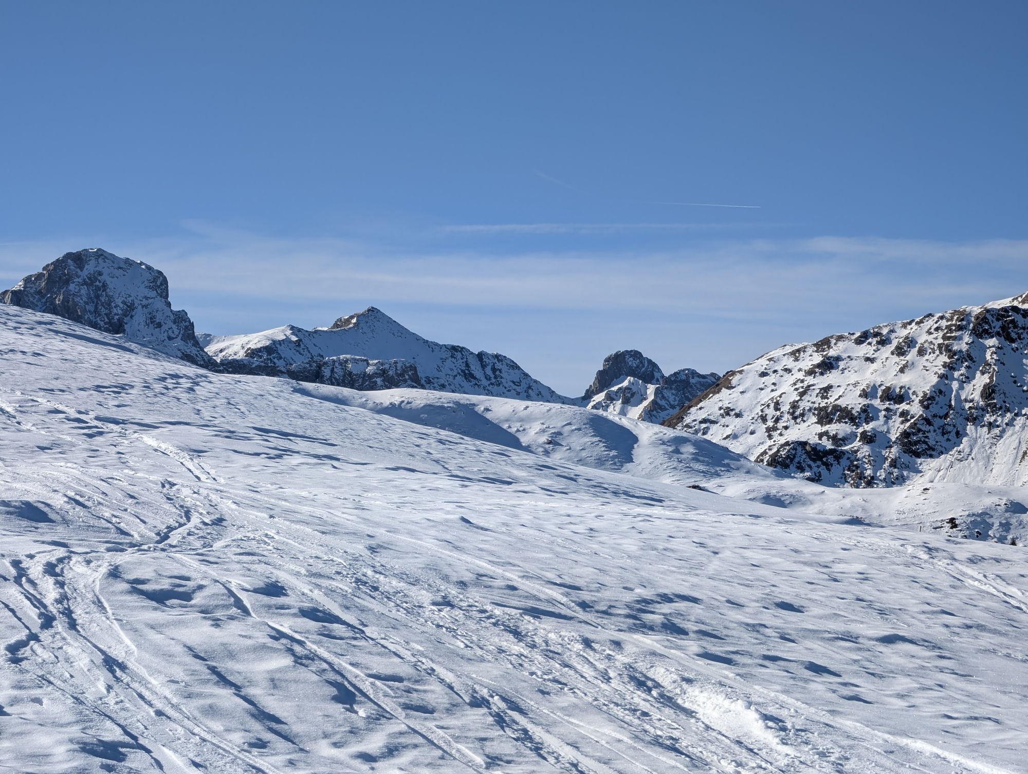
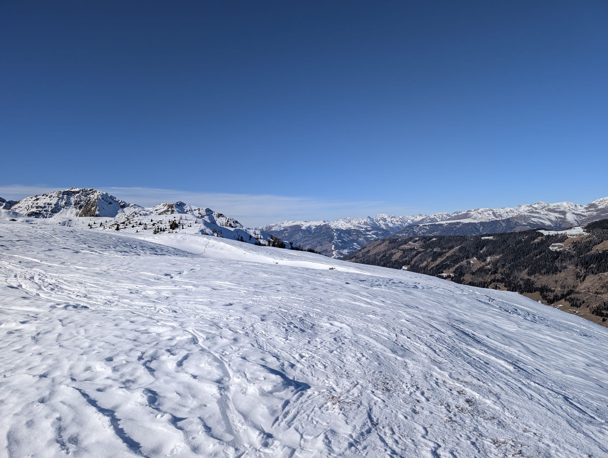
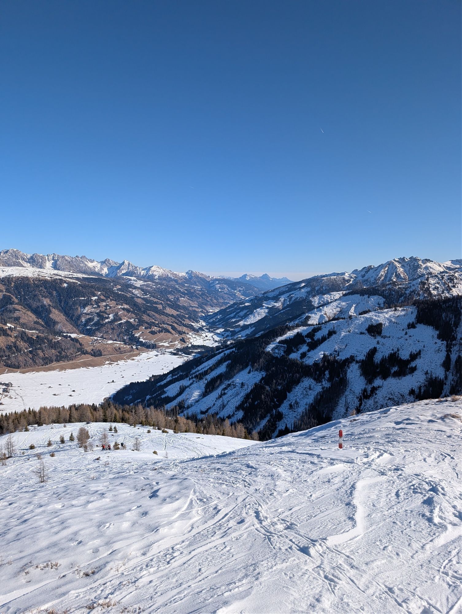
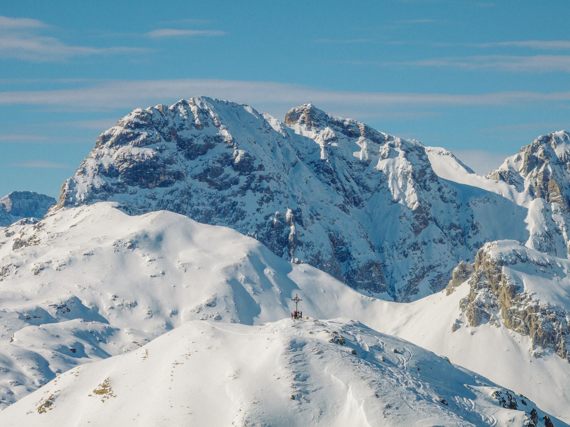
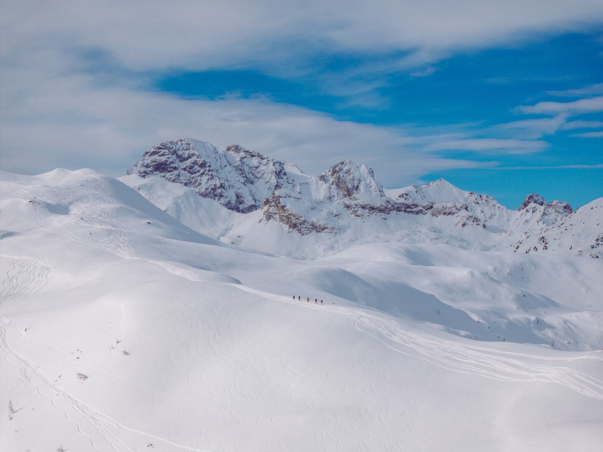
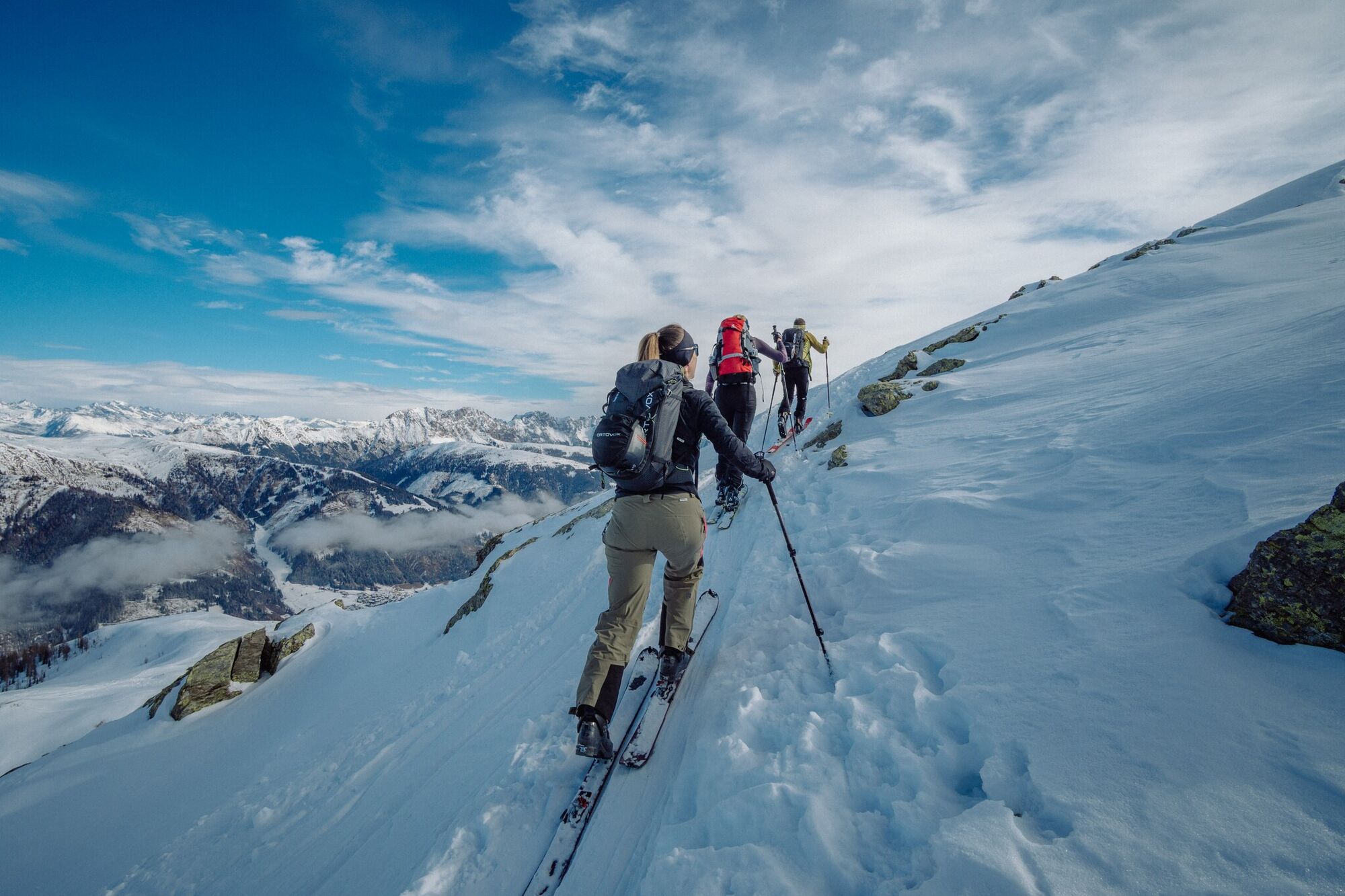
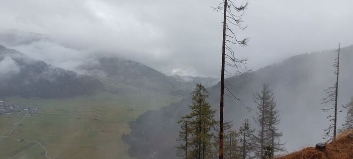
The ridge of the Hoher Bösring is in the shaded side of Obertilliach and separates Obertilliacher Tal from Leitental. The domed peak rises gently from the steep protected forest and is great for a trip in the depths of winter due to the low risk of avalanche. A forest road proceeds to the forest limit, which, depending on the snow, can be used for the descent and also makes it possible for less proficient skiers or those new to ski touring to get down safely. Starting point is the biathlon centre, around 1 kilometre to the west of Obertilliach (large car parking area). Where the slope climbs from its lowest point out of the bottom of the river and into the shaded forest, is where our tour begins (yellow signposts). Follow the slope briefly before heading into the dark forest and cutting the forest trail short by taking the mostly powder snow covered track. We get to a Jagdhüttl, which is in a romantic glade, before the track takes us back without any difficulties into open terrain. While we cross the little rise of the Zwieselegg (2169 m) the summit of the Hoher Bösring is already well visible. The short north-facing slope which follows can be tackled in just a few hairpin bends and is a key section in terms of avalanche technique (2 ½ - 3 hours from the car park). Descent along the ascent track and depending on the conditions, via the forest trail back into the valley.
Additional ski tour tips can be obtained in the ski tour guides by Thomas Mariacher. These are available here: http://www.grafikzloebl.at/verlag/buecher/
Additional ski tour tips can be obtained in the ski tour guides by Thomas Mariacher. These are available here: http://www.grafikzloebl.at/verlag/buecher/
Parcours
Parcours
Ski tour Hoher Bösring 2.324m
moyen
Ski de randonnée
4,76
km

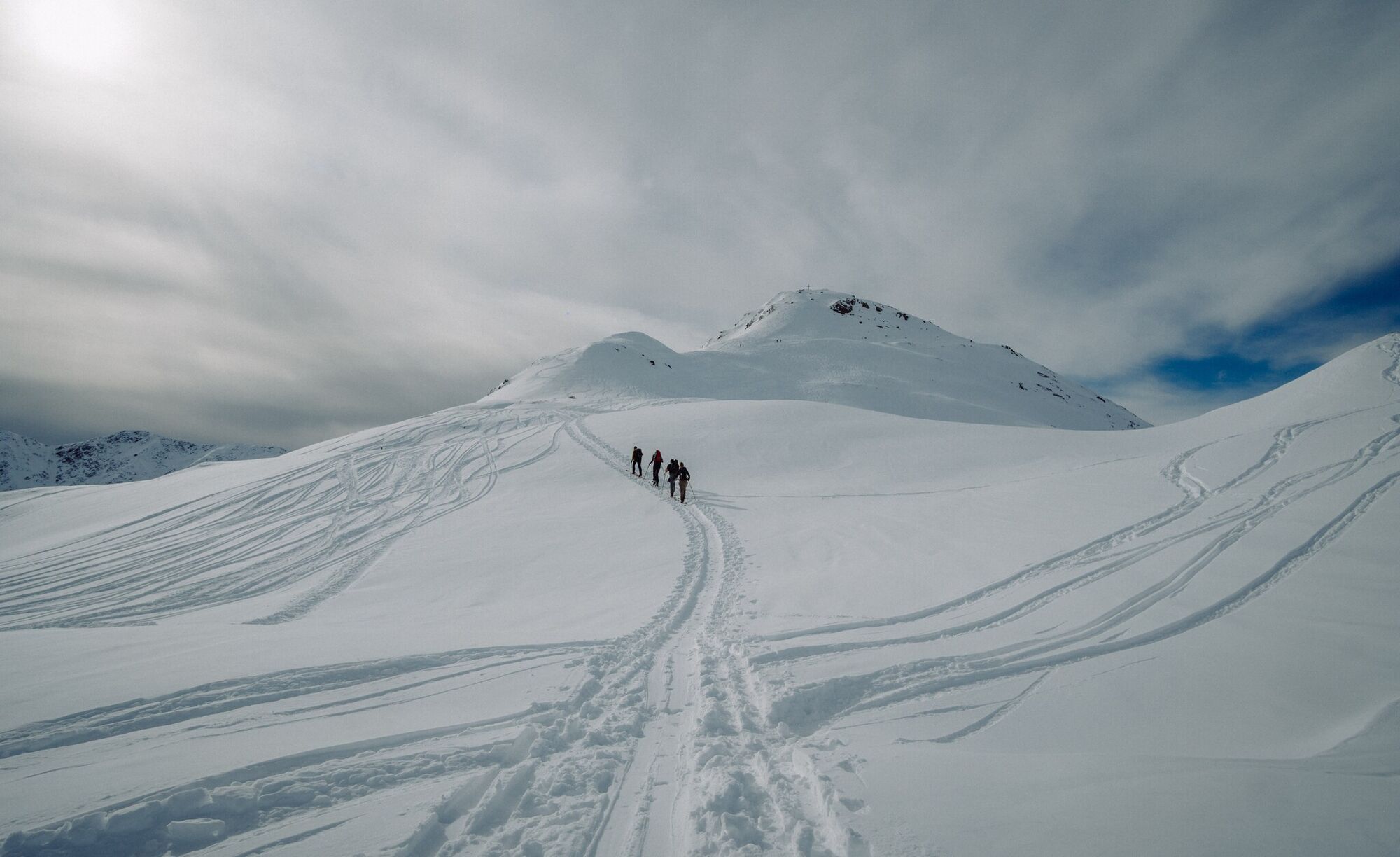
Dernier suivi
il y a 3 jours

Informations sur l'itinéraire
Itinéraire
Mit dem Auto bis zum Biathlonzentrum Obertilliach
Transports en commun
Mit dem Bus bis zur Haltestelle "Obertilliach Biathlonzentrum"
Parking
Parkplatz Obertilliach
Évaluations
1 Commentaire

sepp ranner

18. mars. 2025
Vérifié parti
Schön
Obtenez un aperçu Toujours en direct avec plus de 9.500 webcams. En tant qu'utilisateur Pro, vous pouvez désormais voir les webcams correspondantes à de nombreuses randonnées dans l'application de randonnées de bergfex. Vous pouvez ainsi voir directement les conditions actuelles.Activités le long du parcours

Obertilliach, Tirol/Österreich
04.06.2026 – RandonnéeObertilliach, Tirol/Österreich
04.06.2026 – Randonnée
Obertilliach, Tirol/Österreich
18.05.2026 – RandonnéeObertilliach, Tirol/Österreich
04.05.2026 – E-Bike
Obertilliach - Zwiesel
22.01.2026 – Raquettes
Obertilliach, Tirol/Österreich
28.09.2025 – Randonnée
Obertilliach, Tirol/Österreich
15.09.2025 – Randonnée
Gemeinde Obertilliach, Gipfel Zwiesel
25.10.2023 – Randonnée
Parcours populaires à proximité
- 4,8
Rotwandwiesen kreuzbergpass rundweg
moyenRandonnée 12,0 km - 4,5
Kartitsch-Obstansersee Hütte
moyenRandonnée 13,1 km - 4,5
Obergail - alpage d'Obergail - lac d'Obergail - refuge Enderberg - source de Santé & Paix - parcours circulaire Madonna - Obergail
moyenRandonnée 11,4 km - 4,3
Connyalm (2.070 m)
Randonnée 6,36 km - 4,1
Helm und Sillianer Hütte
facileRandonnée 8,17 km - 5,0
Porzehütte (1.942 m)
facileRandonnée 9,01 km - 5,0
Tuffbad - Guggenberger Sattel - Samalm - Tuffbad
moyenRandonnée 12,2 km - 5,0
Carnic altitude trail. Stage 4: Porzehütte – Hochweißsteinhaus
difficileRandonnée 17,5 km - 4,8
Sillianer Hütte 2.447 m
moyenRandonnée 16,8 km - 3,9
Randonnée circulaire Obergail - Gamskofel - Alm d'Obergail - Obergail
moyenRandonnée 13 km
Randonnée et suivi

Plus de 550.000 propositions de circuits, des cartes détaillées et un planificateur d'itinéraire intuitif font de cette application un must pour tous les passionnés de nature.

Ne manquez pas les offres et l'inspiration pour vos prochaines vacances
S'inscrire à la newsletter
Erreur
Une erreur s'est produite. Veuillez réessayer.Merci pour votre inscription
Votre adresse électronique a été ajouté à la liste de diffusion.
Parcours en Europe
Autriche Suisse Allemagne Italie Slovénie France Pays-Bas Belgique Pologne Liechtenstein République tchèque Slovaquie Espagne Croatie Bosnie-Herzégovine Luxembourg Andorre Portugal Islande Royaume-Uni Irlande Grèce Albanie Macédoine du Nord Malte Norvège Monténégro Moldavie Kosovo Hongrie Saint-Marin Roumanie Estonie Lettonie Bélarus Chypre Lituanie Serbie Bulgarie Monaco Danemark Suède Finlande





