
Lucknerhaus circuit No. 117
moyen
Télécharge cette visite sur ton portable
Lucknerhaus circuit No. 117
moyen
VTT
13,72
km
Scanner le code QR et commencer la navigation dans l'application bergfex


Randonnée & tracking



Lucknerhaus circuit No. 117
moyen
Distance
13,7
km
Durée
02:10
h
Ascension
582
m
Altitude
1.330 -
1.918
m

Naviguez dans votre circuit depuis l'application
Téléchargez gratuitement l'application et suivez votre parcours grâce à la navigation GPS et au suivi.
Profitez dès maintenant d'bergfex, dans l'application
Scannez le code QR avec votre appareil photo
Une fois l'application installée, le contenu s'ouvre directement. Si vous ne disposez pas encore de l'application, vous serez redirigé vers la page de téléchargement gratuit.
Téléchargement de la piste
Lucknerhaus circuit No. 117
moyen
VTT
13,72
km
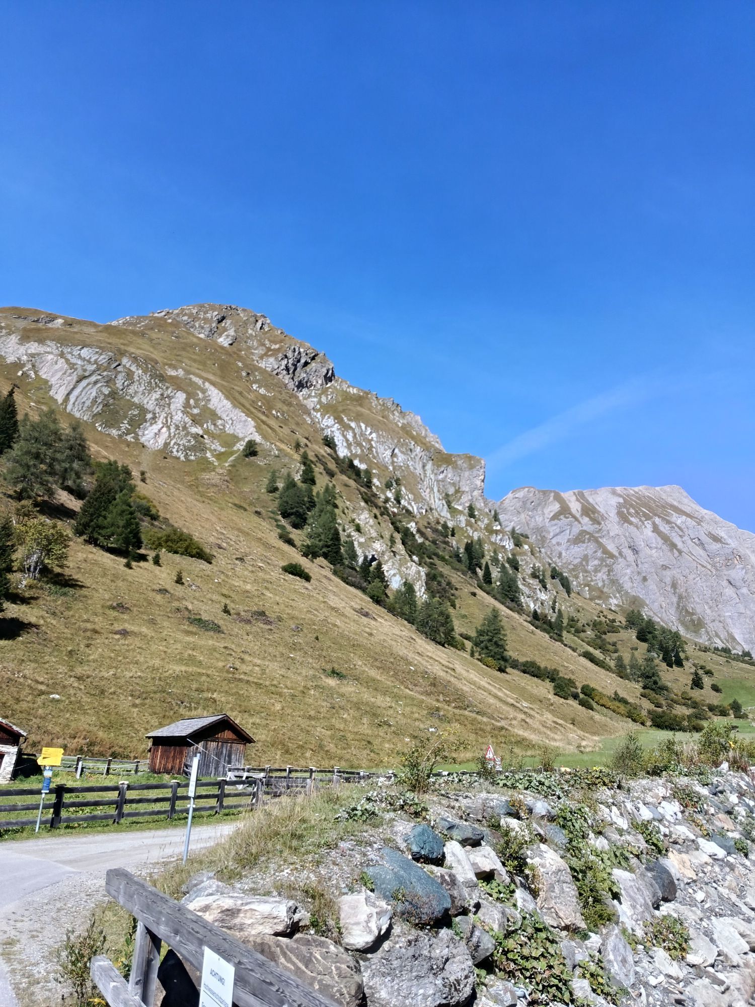
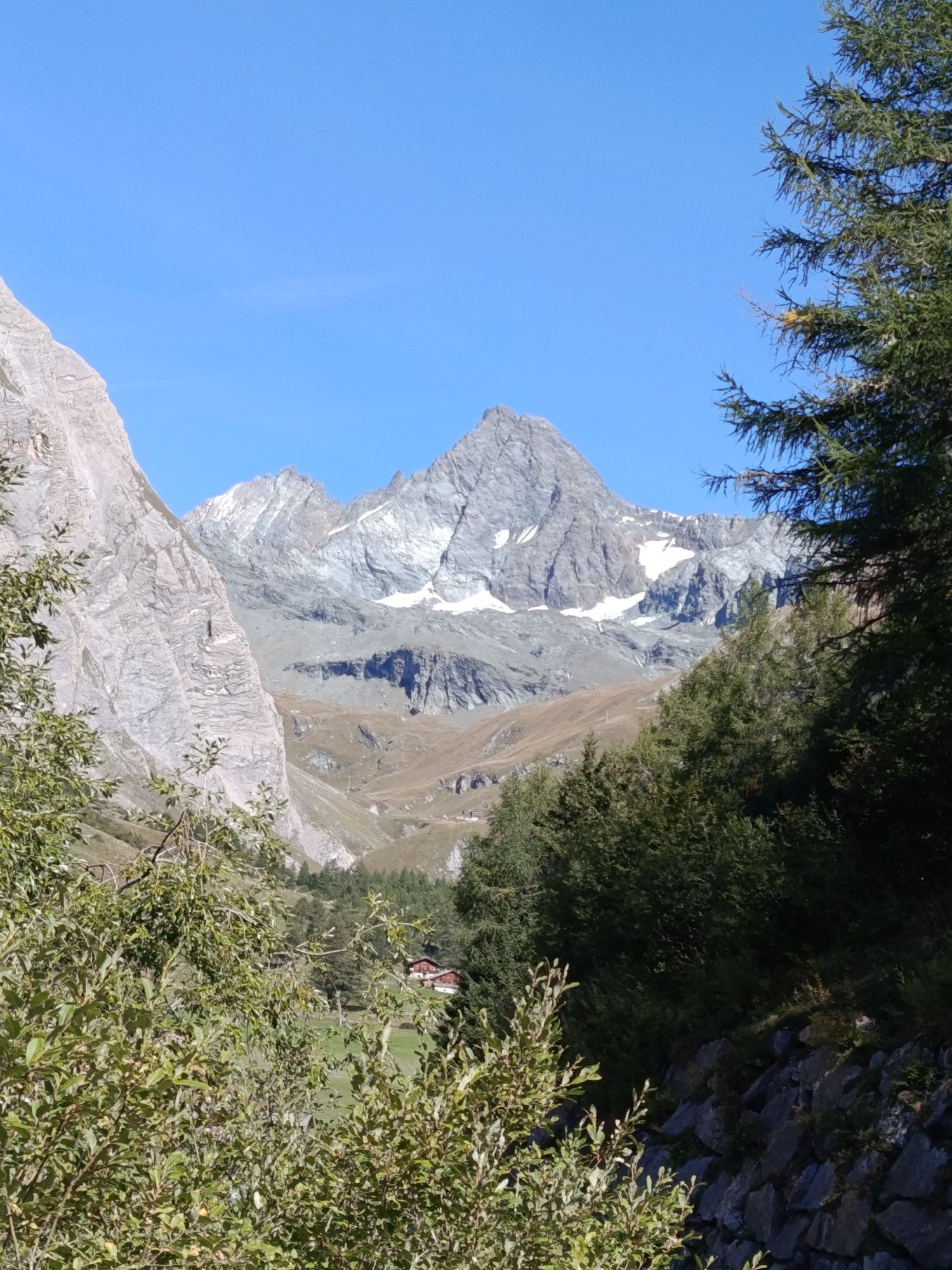
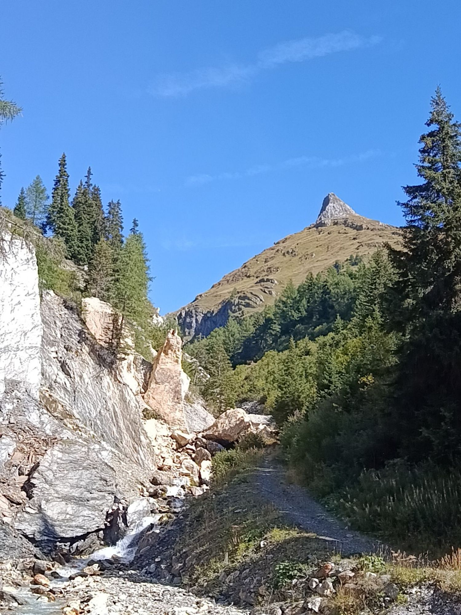
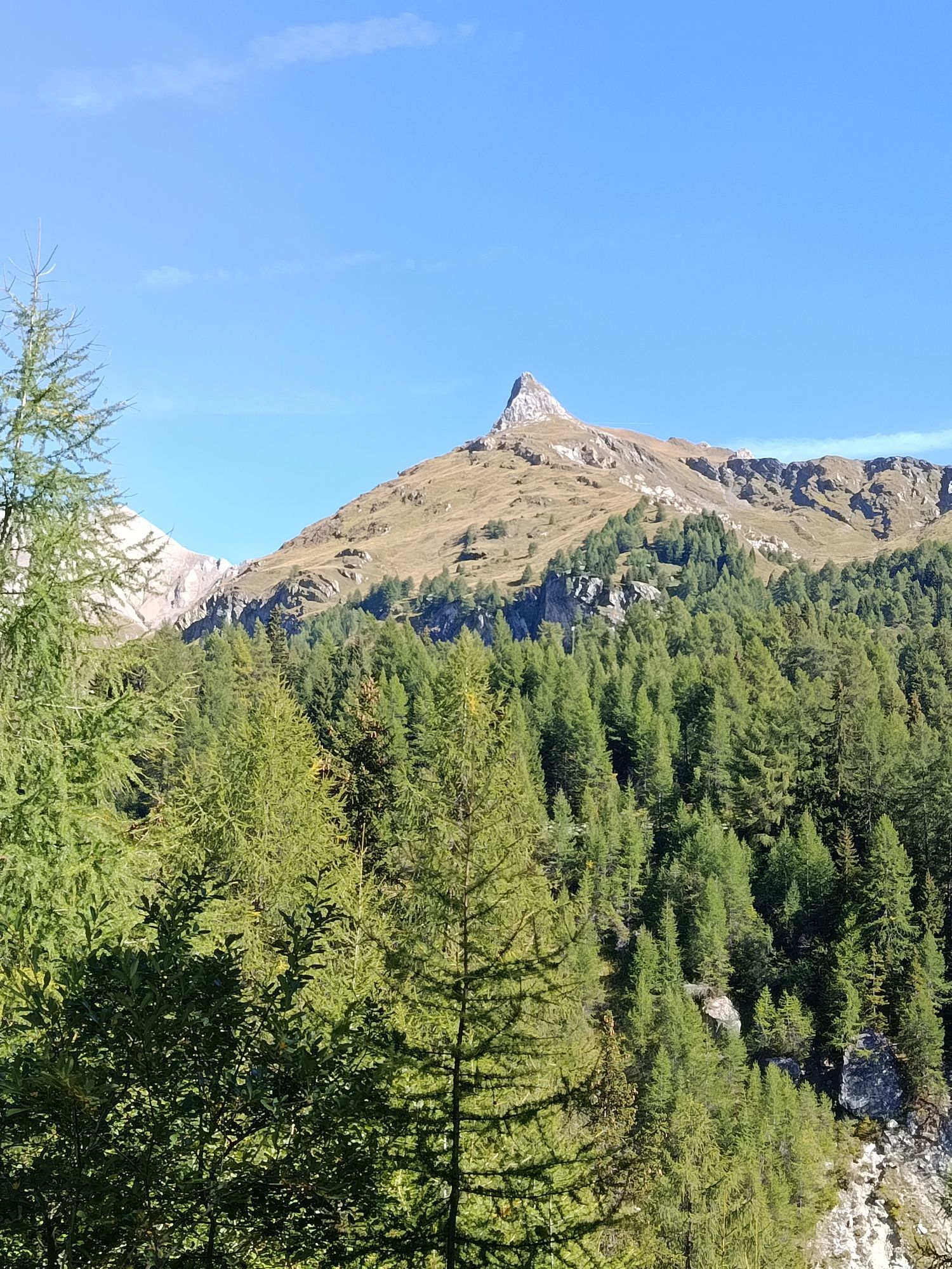
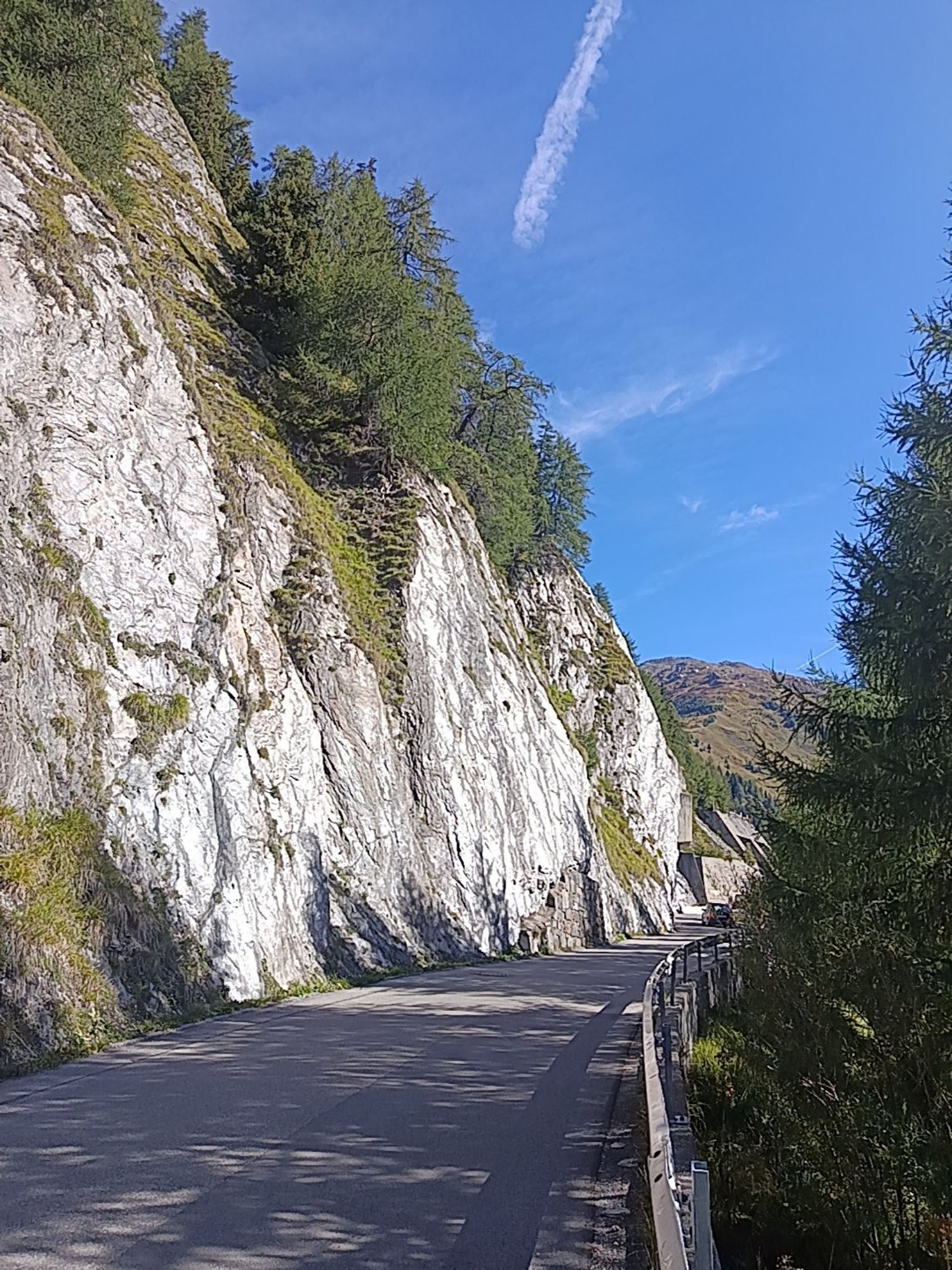
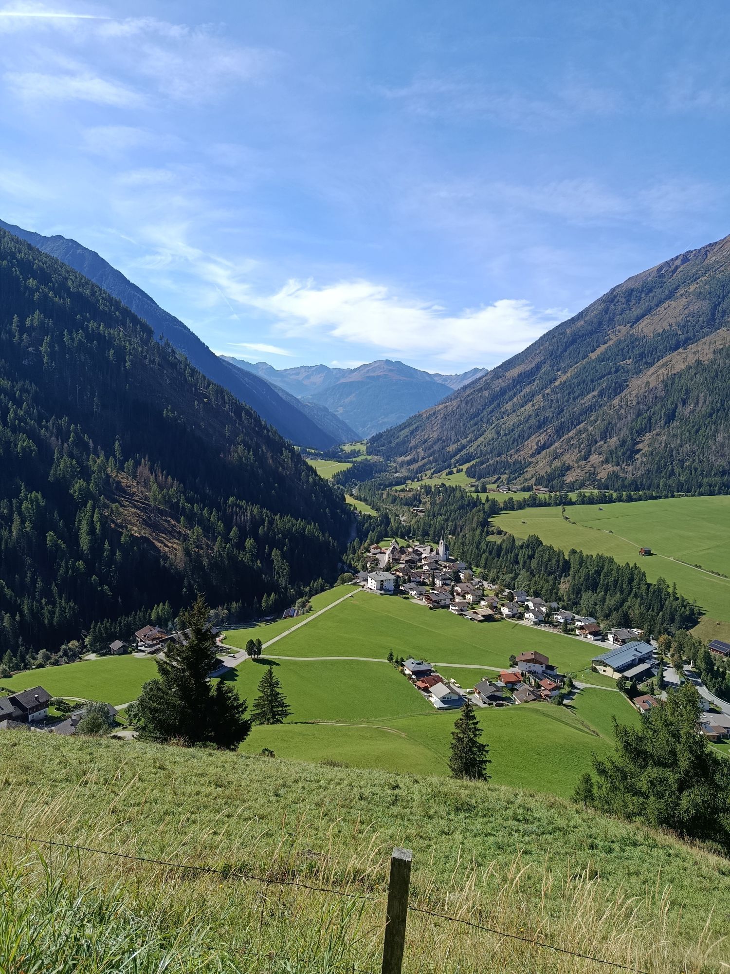
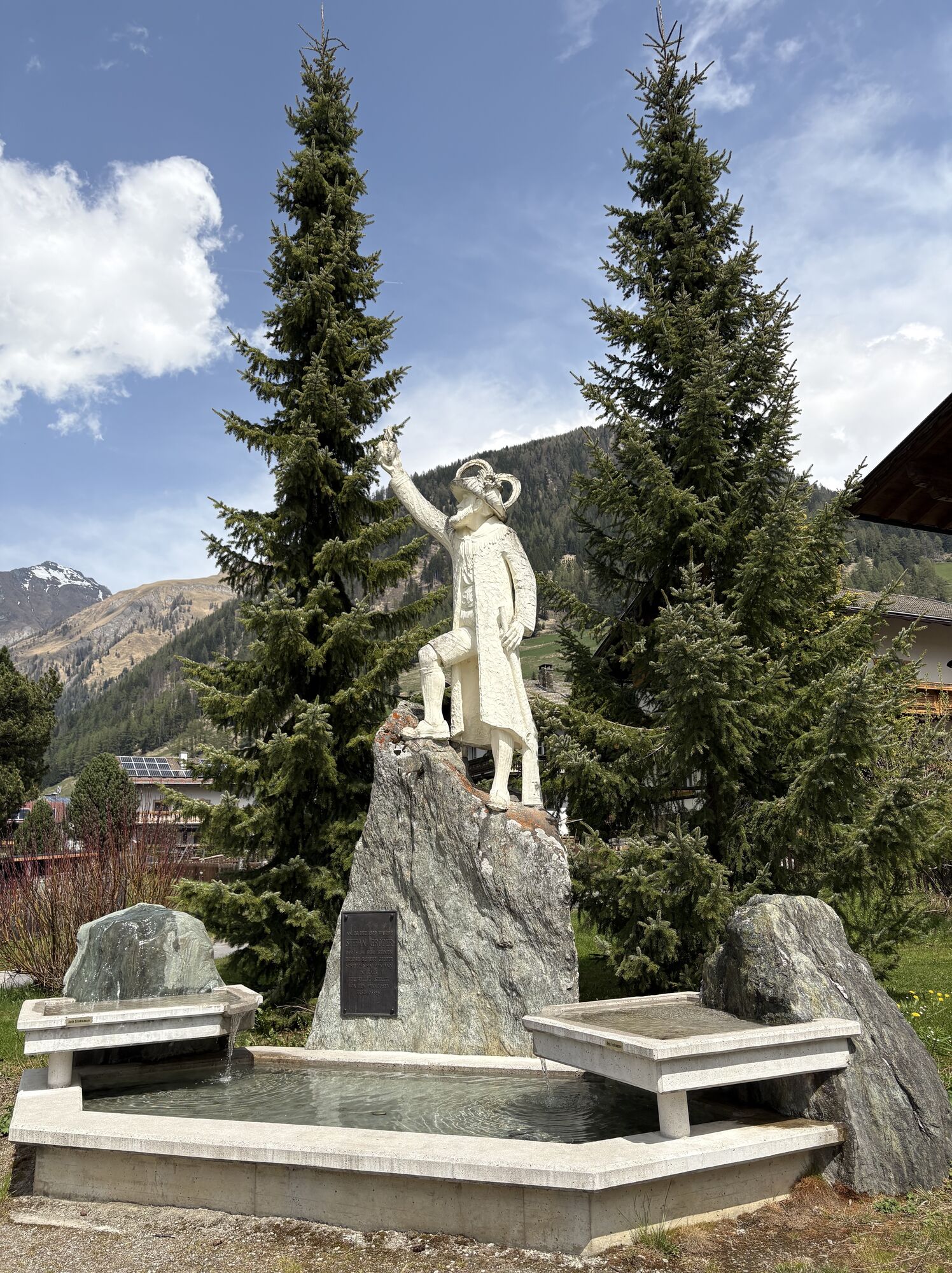
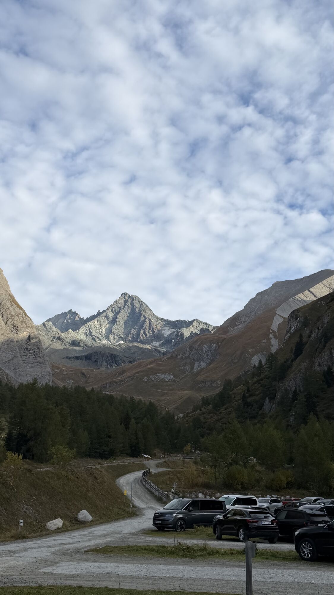
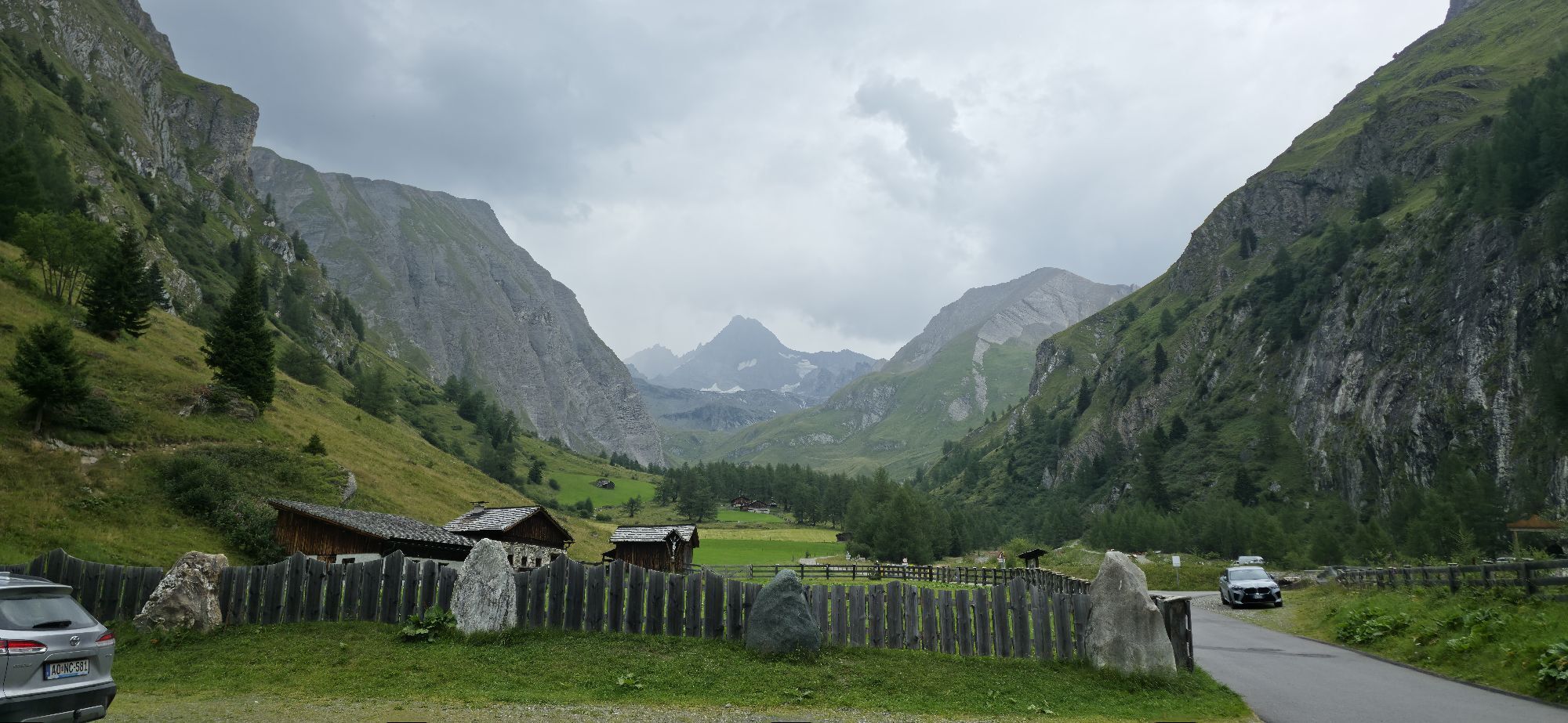
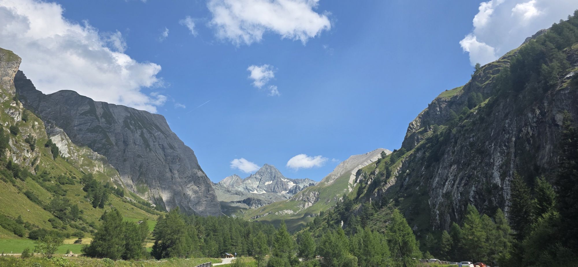
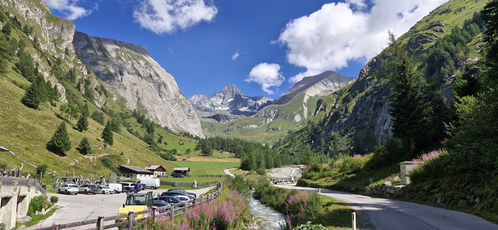
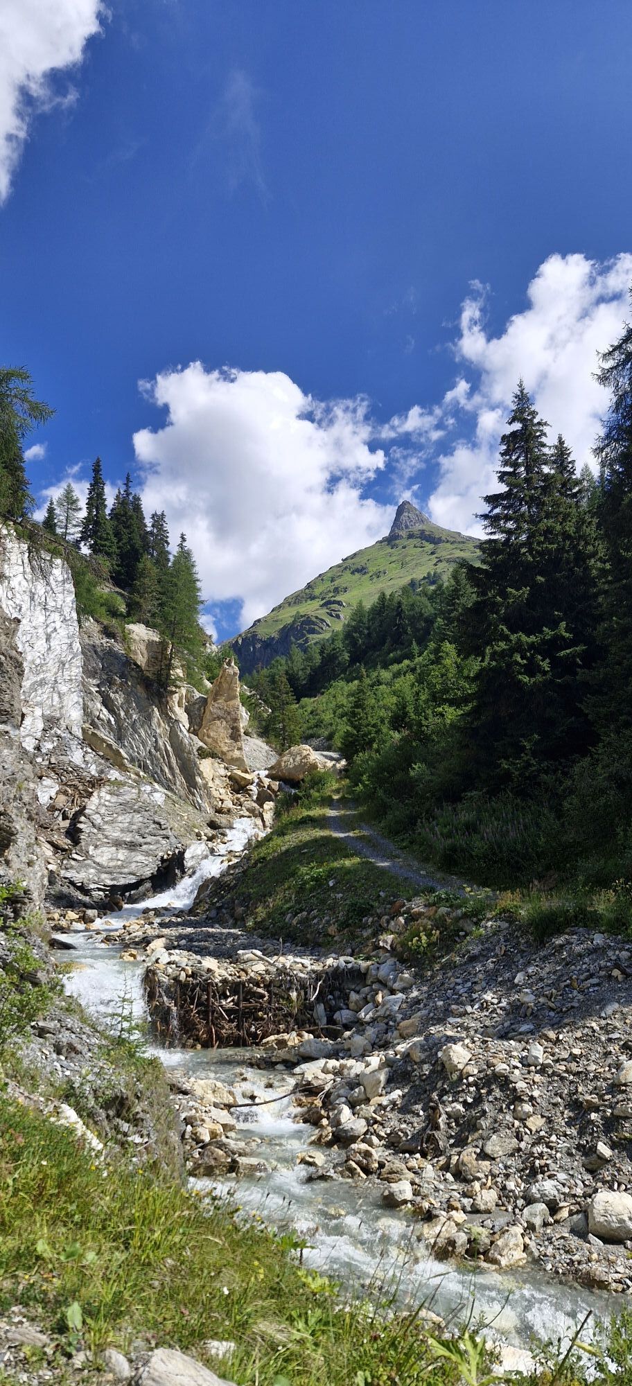
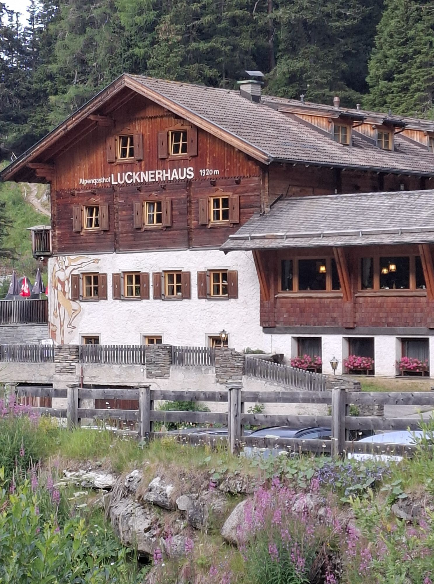
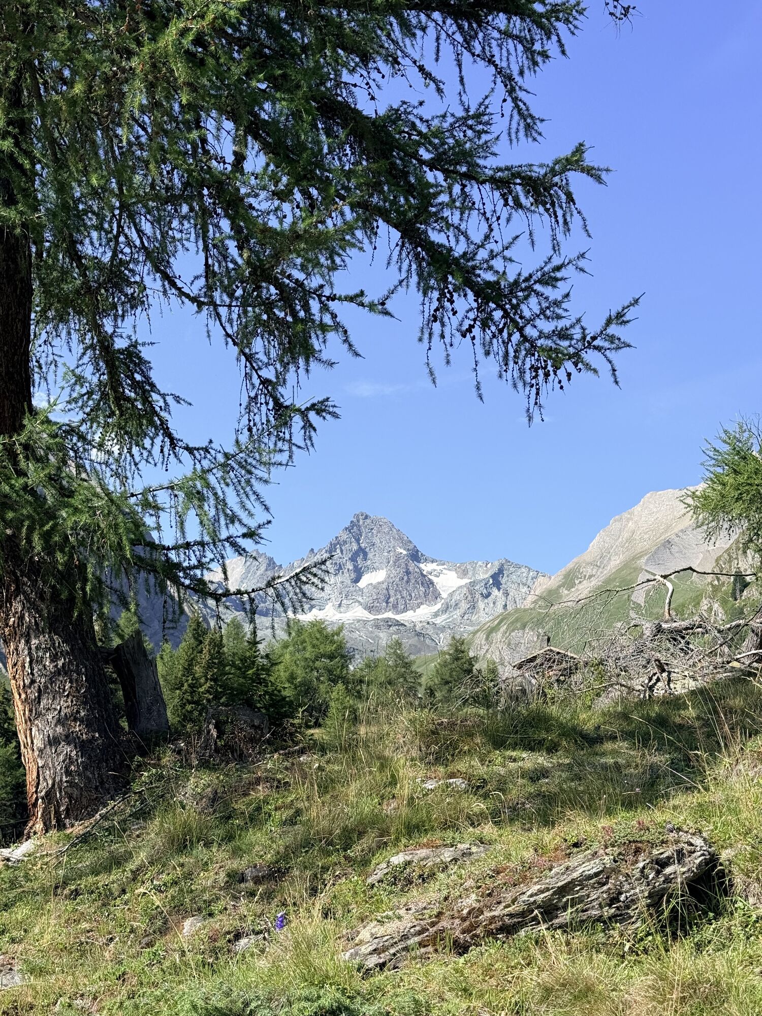


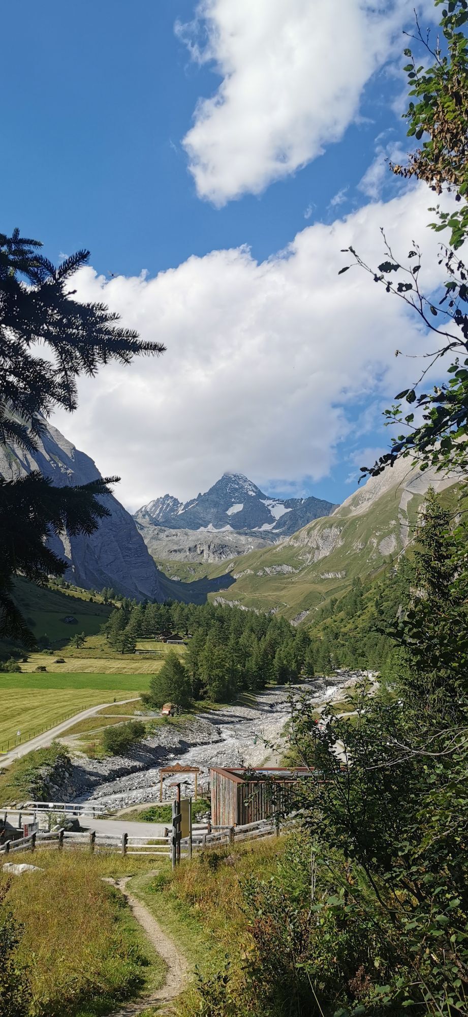
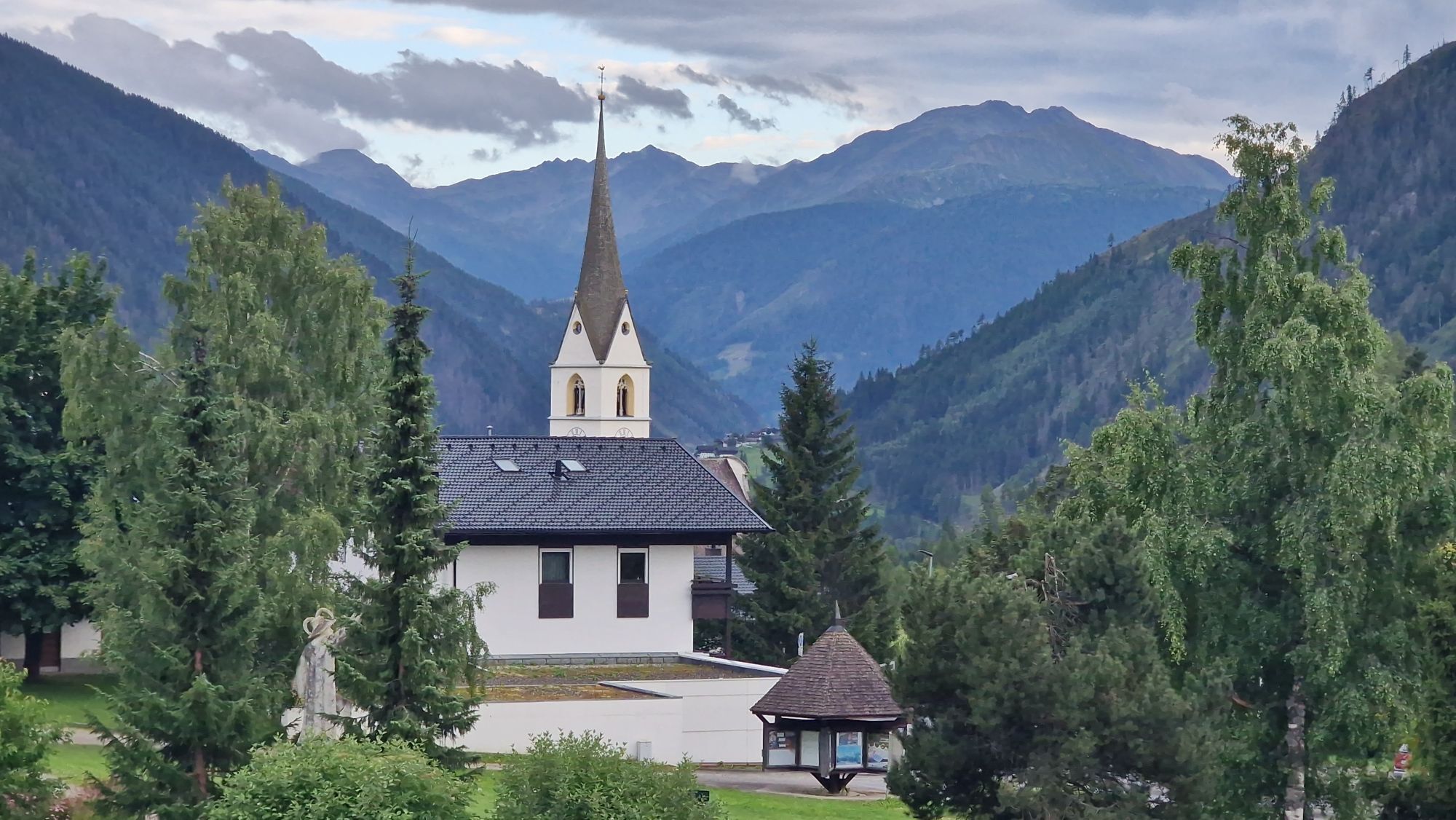
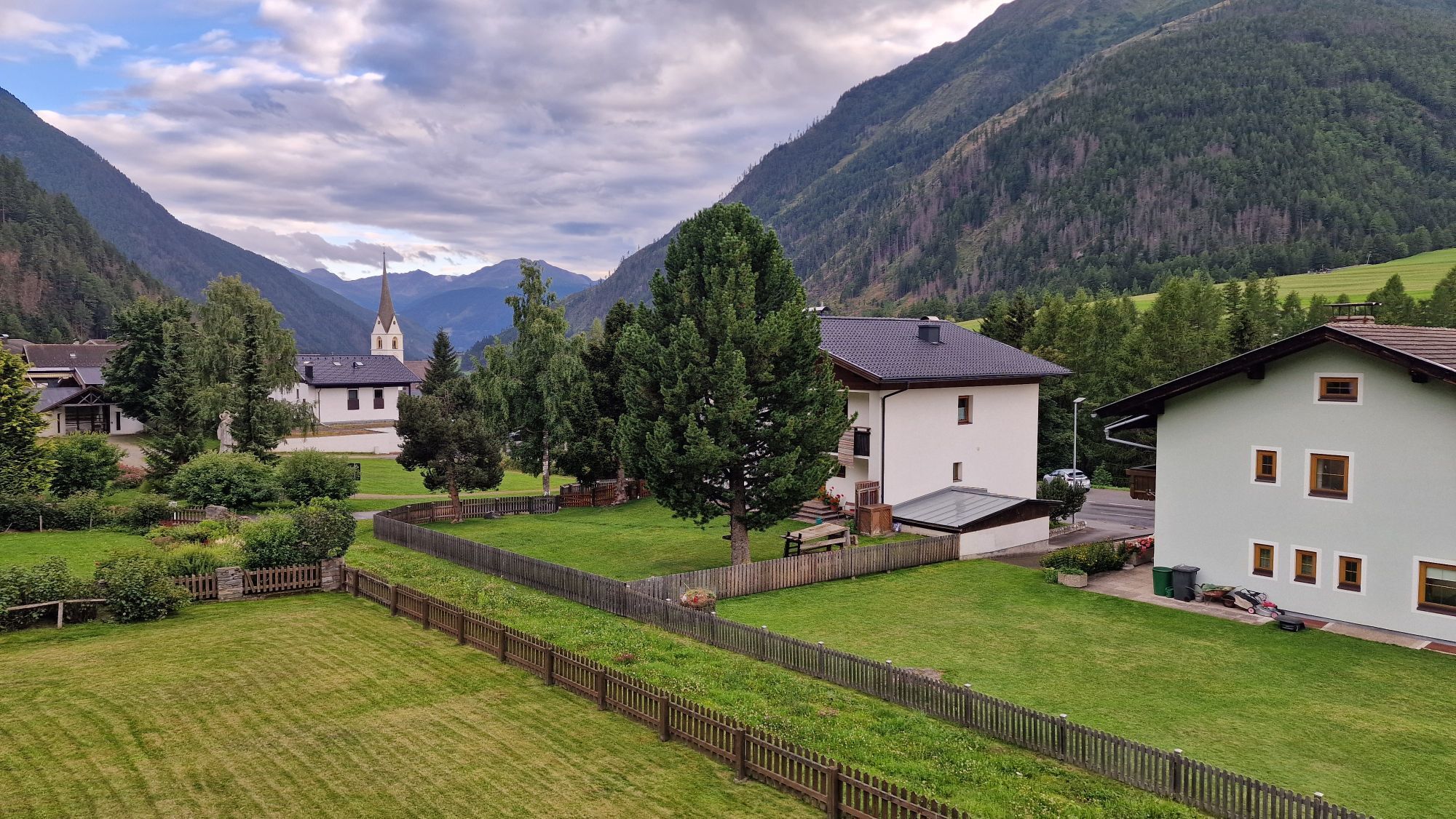
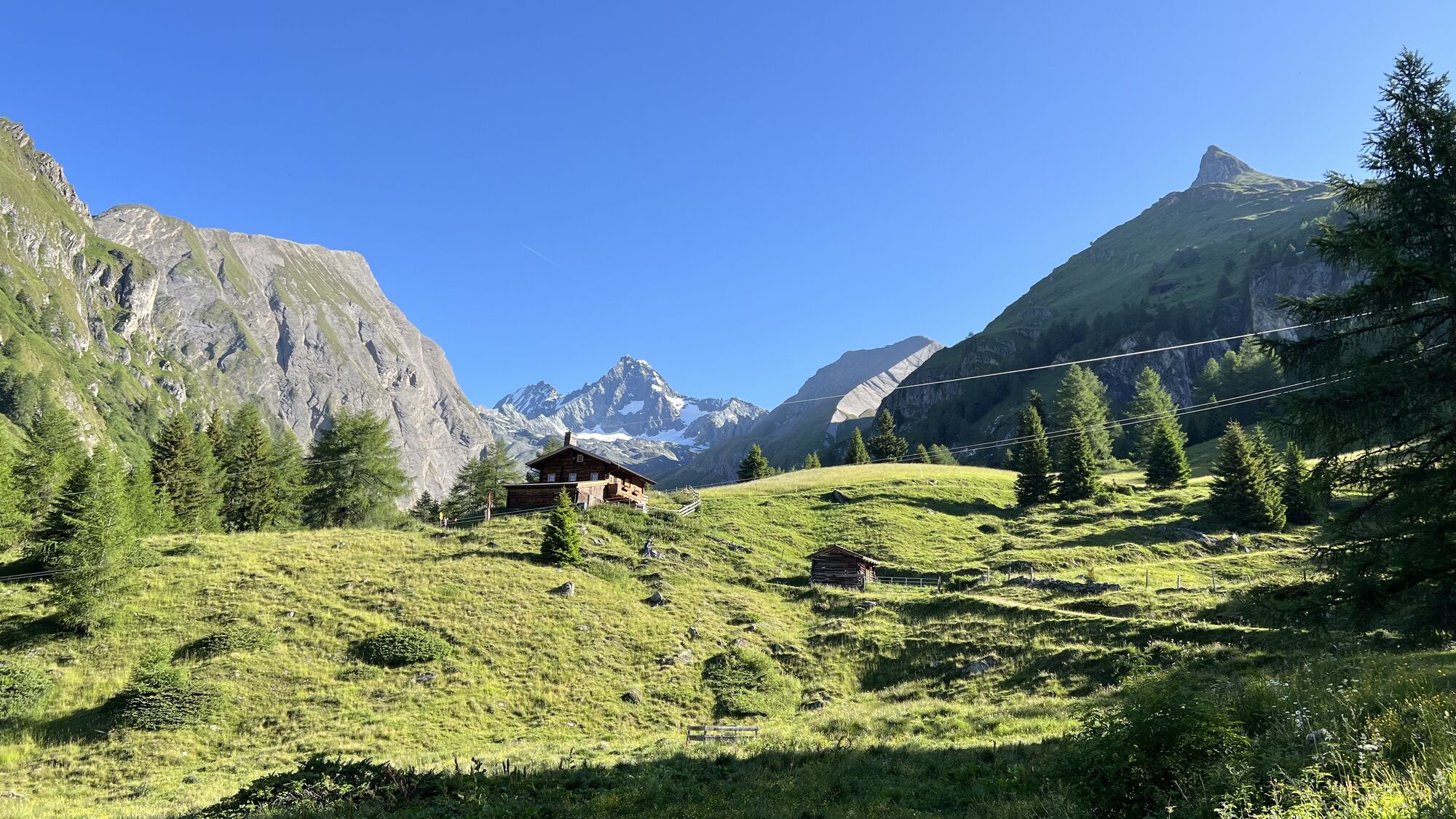

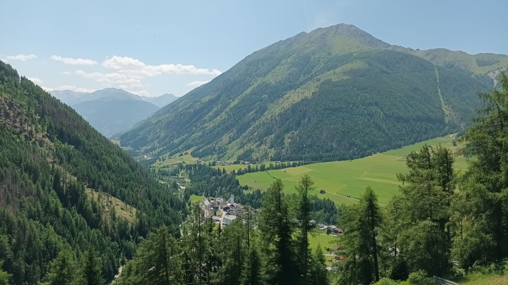
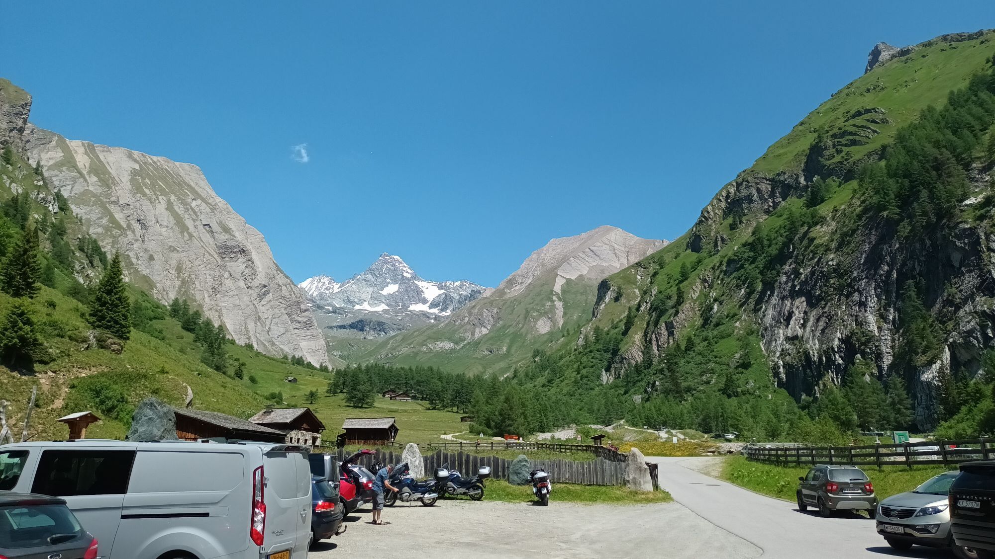
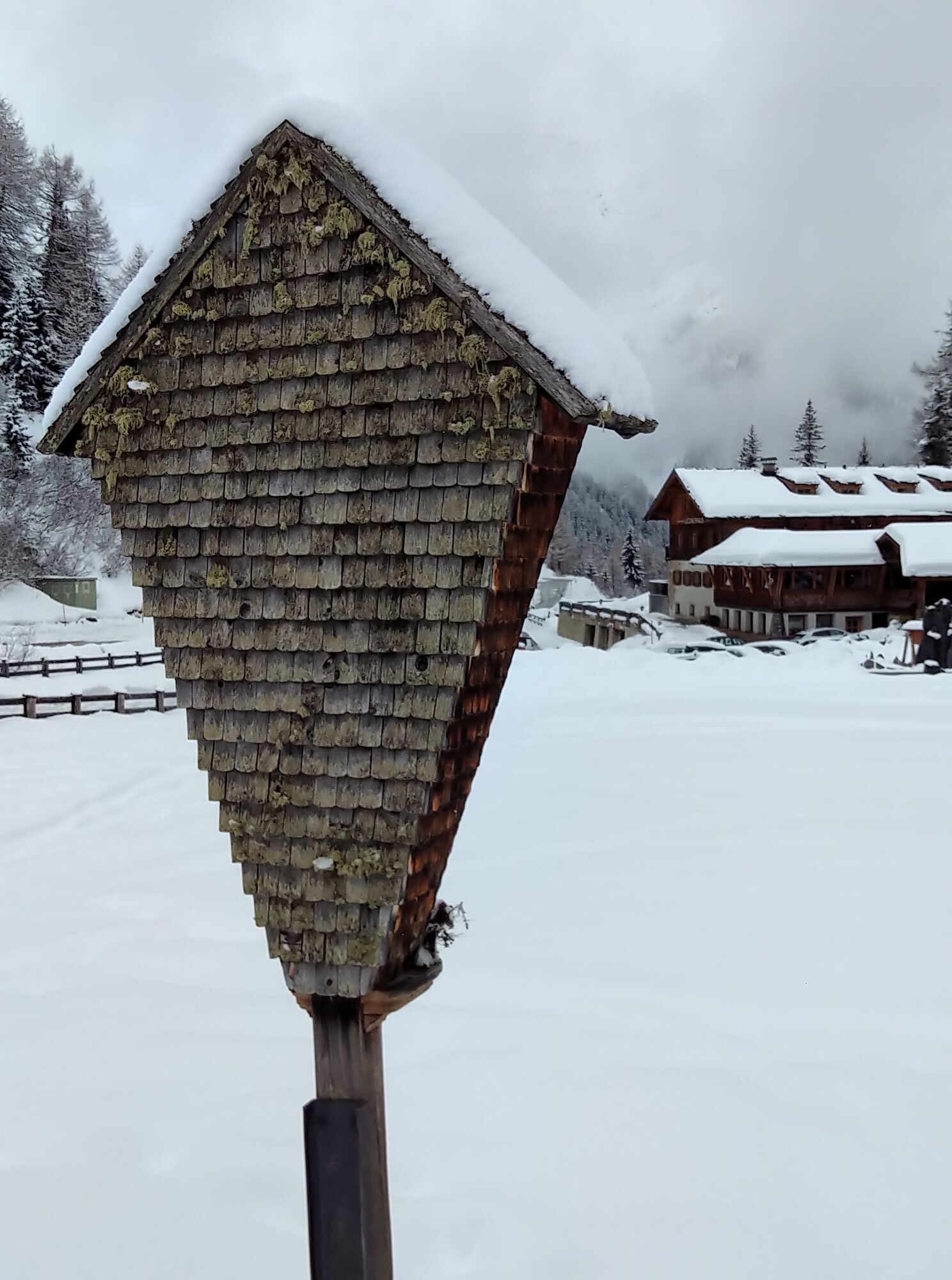
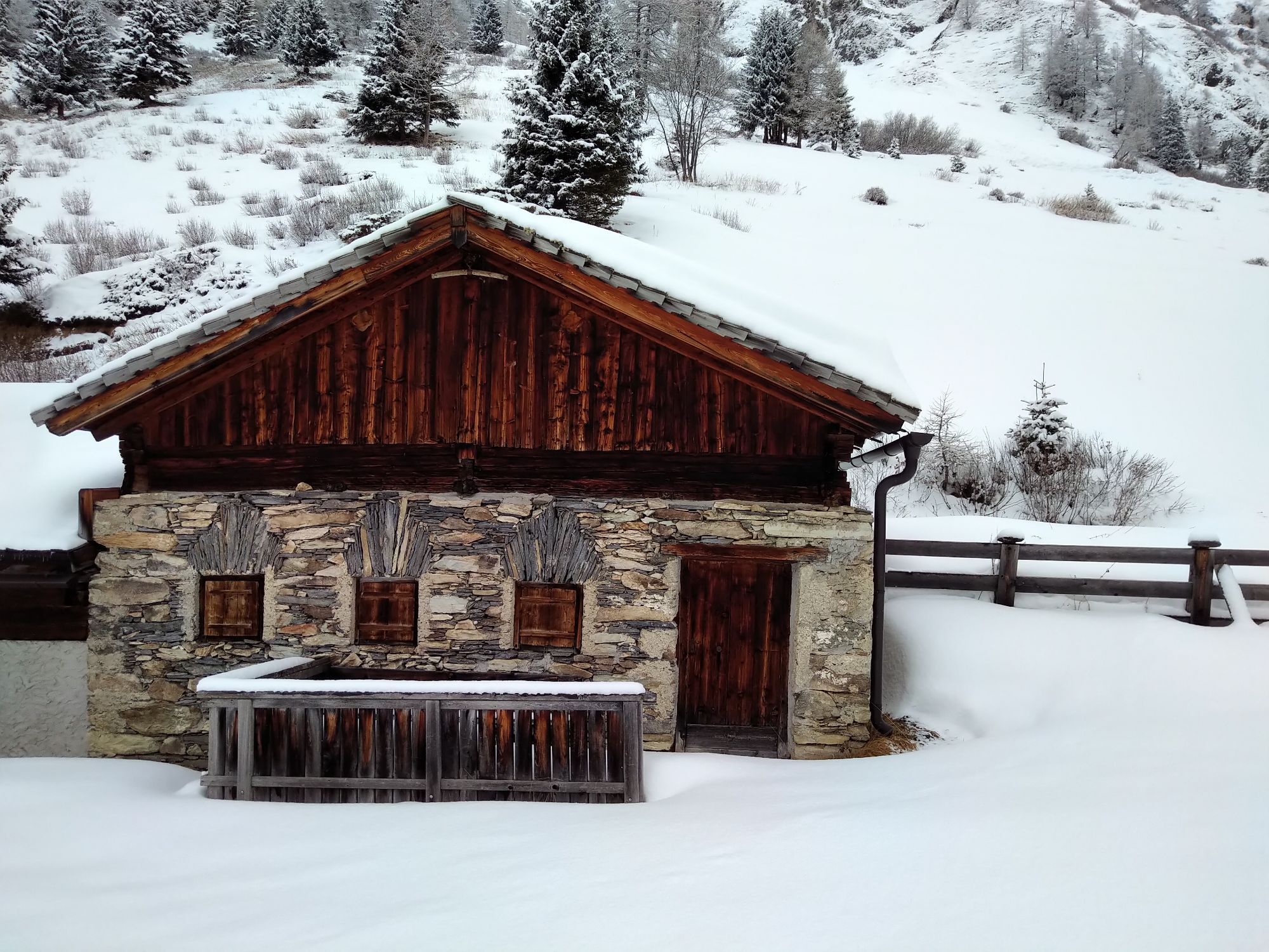
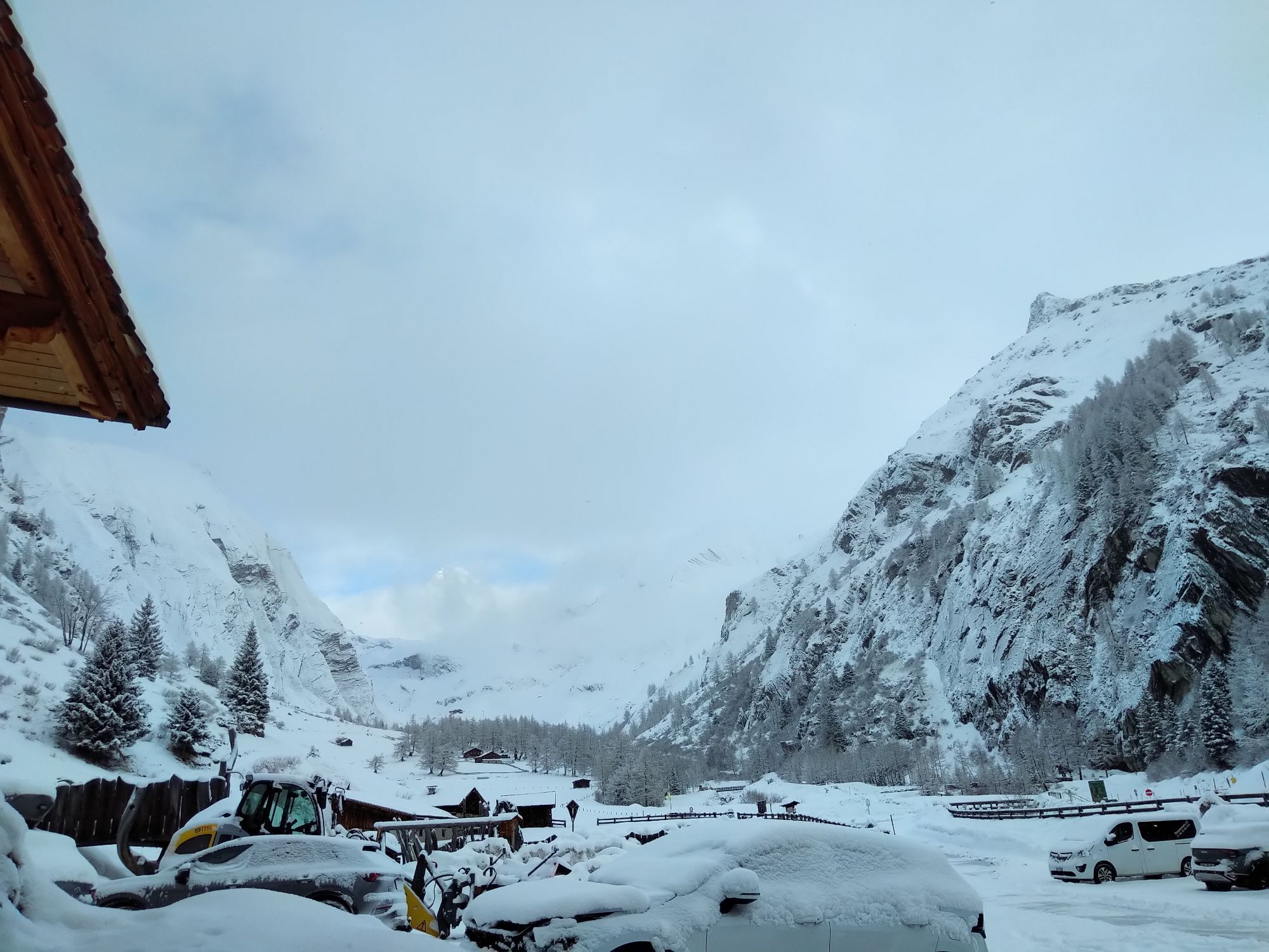

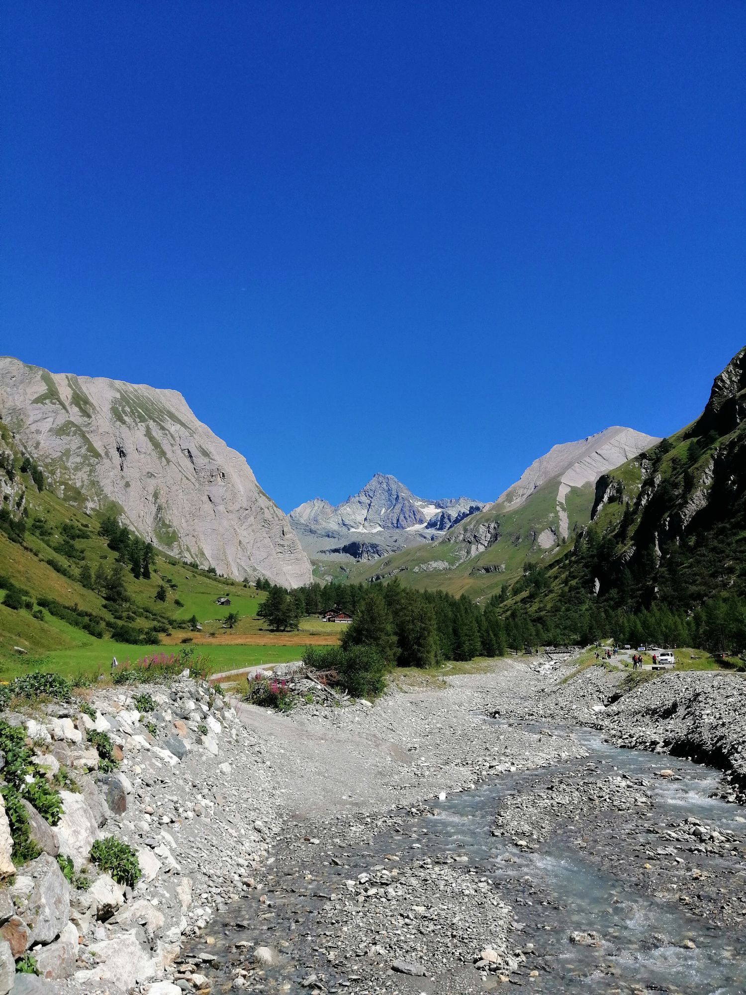
From the center of Kals, right next to the Mpreis supermarket, drive past the white Schützendenkmal monument, between the houses on the left onto a narrow asphalt road, then turn left uphill towards Glor....
Description
From the center of Kals, right next to the Mpreis supermarket, drive past the white Schützendenkmal monument, between the houses on the left onto a narrow asphalt road, then turn left uphill towards Glor. In Glor, after the last house on the left, the old Lucknerhausstraße (steeply ascending forest road) begins, leading to the junction with the new Kalser Glocknerstraße (asphalted). Here, turn right onto the asphalted Lucknerhausstraße, continue for about 1 km to the Glocknerwinkel car park and cross the bridge on the left to the Alpengasthof Lucknerhaus.
Parcours
Ködnitz
(1.323 m)
Lotissement
0,0 km
Kals am Großglockner
(1.340 m)
Village
0,1 km
Glor
(1.437 m)
Village
0,7 km
Berg
(1.717 m)
Village
3,2 km
Unterburg
(1.336 m)
Lotissement
12,7 km
Ködnitz
(1.323 m)
Lotissement
13,7 km
Pfarrkirche
(1.324 m)
Lieu de culte
13,7 km
Parcours
Lucknerhaus circuit No. 117
moyen
VTT
13,72
km
Ködnitz
(1.323 m)
Lotissement
0,0 km
Gasthof Ködnitzhof
(1.330 m)
Restaurant
0,0 km
Kalser Eck
(1.333 m)
Restaurant
0,0 km
Kals am Großglockner
(1.340 m)
Village
0,1 km
Glor
(1.437 m)
Village
0,7 km
Berg
(1.717 m)
Village
3,2 km
Lucknerhaus
(1.918 m)
Restaurant
5,4 km
Glor
(1.437 m)
Village
11,2 km
Großdorf
(1.360 m)
Village
12,6 km
Unterburg
(1.336 m)
Lotissement
12,7 km
Kals am Großglockner
(1.340 m)
Village
13,5 km
Kalser Eck
(1.333 m)
Restaurant
13,6 km
Ködnitz
(1.323 m)
Lotissement
13,7 km
Pfarrkirche
(1.324 m)
Lieu de culte
13,7 km
Gasthof Ködnitzhof
(1.330 m)
Restaurant
13,7 km

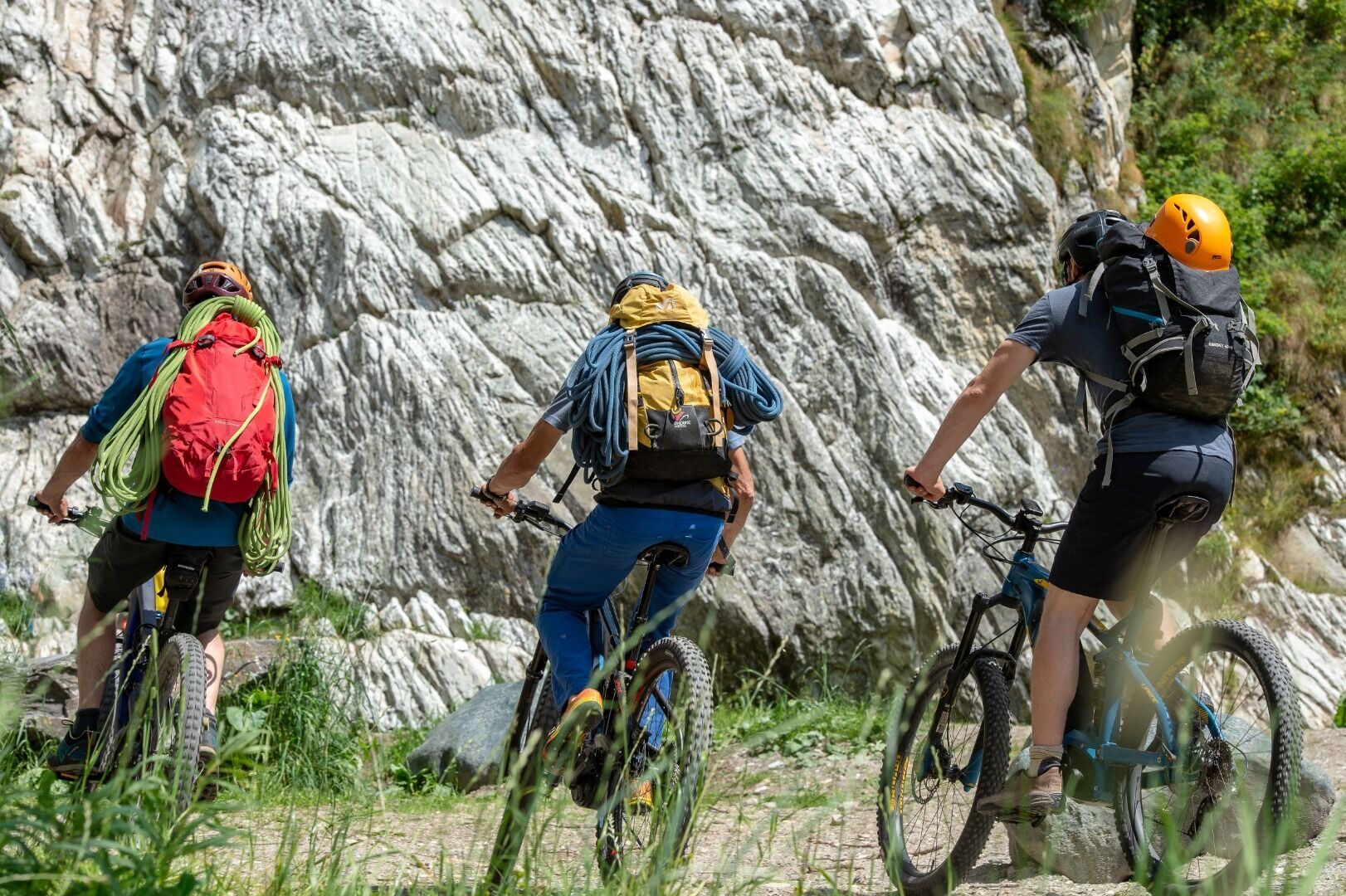

Équipement
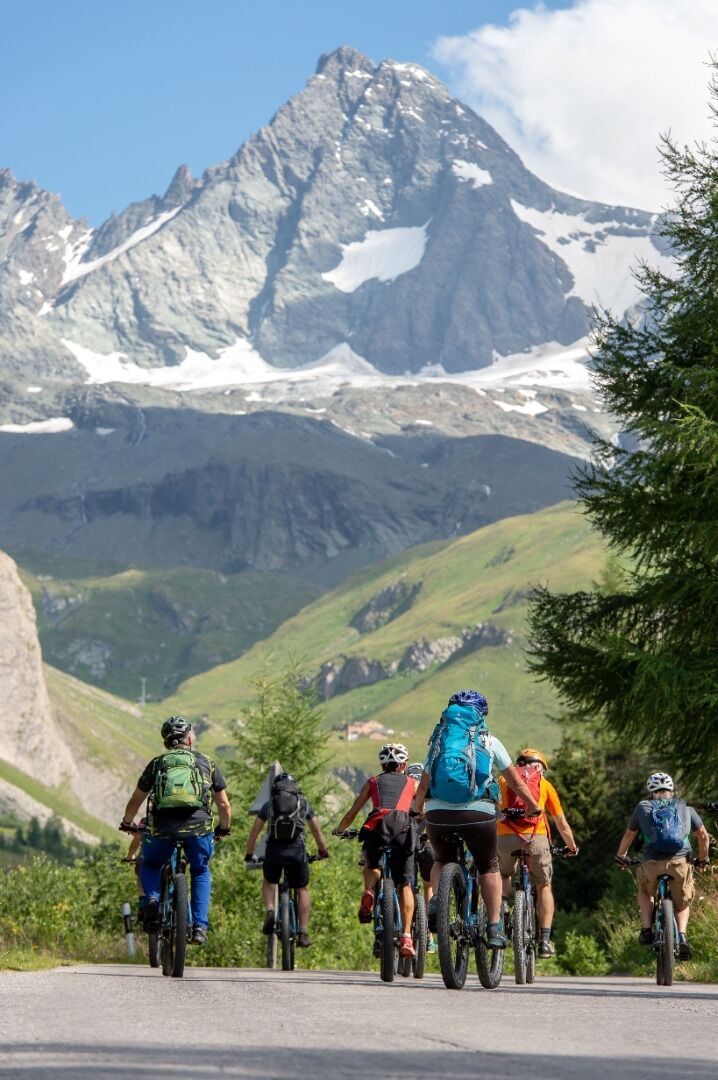
Basic cycling equipment includes a well-fitting helmet and functional clothing adapted to the weather and temperature. Essential items are rain, sun, and wind protection, a repair kit, a first-aid kit, a charged mobile phone, as well as sufficient fluids and provisions. Gloves and eyewear protect hands and eyes, whileâ¯lights improve visibility.â¯â¯A map or a GPS device assist with orientation.
This information serves as a guide and does not claim to be exhaustive. Equipment must always be adapted to the tour destination, weather conditions, season, natural hazards, environmental influences, and personal needs.
This information serves as a guide and does not claim to be exhaustive. Equipment must always be adapted to the tour destination, weather conditions, season, natural hazards, environmental influences, and personal needs.
Informations sur l'itinéraire
Transports en commun
Kals a.G. Gemeindeamt
Parking
Parkplatz Kals Zentrum
Évaluations

Webcams de la tournée
Lucknerhütte
Matrei Bergstation Goldried
Kals - Gradonna
Kals am Großglockner
Kals am Großglockner
Adlerlounge - Cimaross
Adlerlounge - Cimaross
Adlerlounge - Cimaross
Adlerlounge - Cimaross
Adlerlounge - Cimaross
Adlerlounge - Cimaross
Adlerlounge - Cimaross
Glocknerwinkel
Kalser Glocknerstraße - Glocknerwinkel
Lucknerhaus

Toutes les webcams sur une carte
Téléchargez gratuitement l'application et comparez les images en direct de plusieurs lieux avant de partir.
Profitez dès maintenant d'bergfex, dans l'application
Scannez le code QR avec votre appareil photo
Une fois l'application installée, le contenu s'ouvre directement. Si vous ne disposez pas encore de l'application, vous serez redirigé vers la page de téléchargement gratuit.



Parcours populaires à proximité
- 4,9
Wangennitzsee Hütte
moyenRandonnée 3,80 km - 4,8
Summit hike Rotenkogel 2,762m
difficileRandonnée 4,22 km - 4,8
Kaiser-Franz-Josefs-Höhe au refuge Oberwalder
difficileRandonnée 5,52 km - 4,7
Geotrail Tauernfenster
facileRandonnée 5,90 km - 4,5
Circular hike Proßeggklamm
moyenRandonnée 8,41 km - 4,5
Chemin glaciaire vers la Pasterze avec le Gamsgrubenweg (jusqu'au tunnel 6)
moyenRandonnée 8,05 km - 4,9
Figerhorn 2743m, Lucknerhaus
difficileRandonnée 6,69 km - 4,9
Glockner Alpincenter - Salmhütte - Hohenwartkees
moyenRandonnée 8,64 km - 4,9
Glockner
moyenRandonnée d'altitude 19 km - 4,8
Adlerlounge Europapanoramaweg
moyenRandonnée 6,86 km
Randonnée et suivi

Plus de 550.000 propositions de circuits, des cartes détaillées et un planificateur d'itinéraire intuitif font de cette application un must pour tous les passionnés de nature.

Ne manquez pas les offres et l'inspiration pour vos prochaines vacances
S'inscrire à la newsletter
Erreur
Une erreur s'est produite. Veuillez réessayer.Merci pour votre inscription
Votre adresse électronique a été ajouté à la liste de diffusion.
Parcours en Europe
Autriche Suisse Allemagne Italie Slovénie France Pays-Bas Belgique Pologne Liechtenstein République tchèque Slovaquie Espagne Croatie Bosnie-Herzégovine Luxembourg Andorre Portugal Islande Royaume-Uni Irlande Grèce Albanie Macédoine du Nord Malte Norvège Monténégro Moldavie Kosovo Hongrie Saint-Marin Roumanie Estonie Lettonie Bélarus Chypre Lituanie Serbie Bulgarie Monaco Danemark Suède Finlande


