


Glockner Crown


Photos de nos utilisateurs

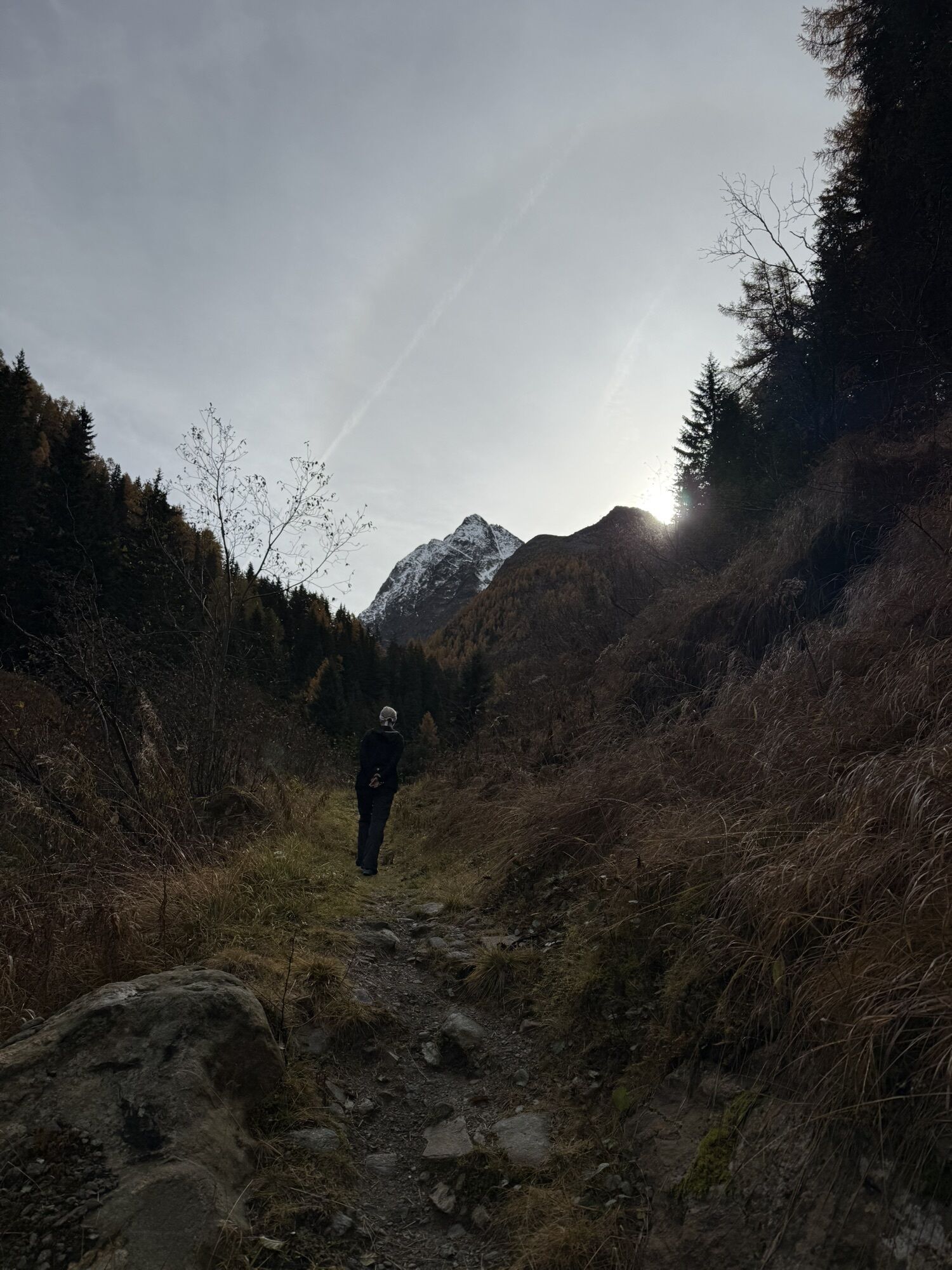
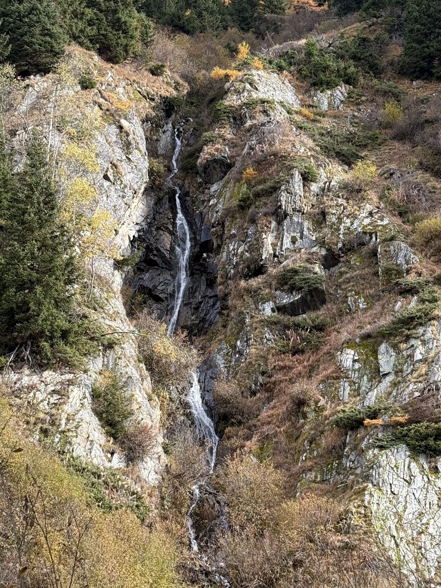
 © Torsten LotherCréé le 22.10.2025
 © Torsten LotherCréé le 22.10.2025
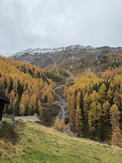 © Torsten LotherCréé le 22.10.2025
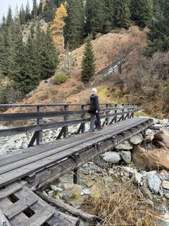 © Torsten LotherCréé le 22.10.2025
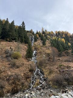 © Torsten LotherCréé le 22.10.2025
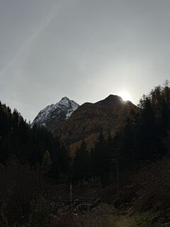 © Torsten LotherCréé le 22.10.2025
 © Torsten LotherCréé le 22.10.2025
 © Torsten LotherCréé le 22.10.2025
 © Torsten LotherCréé le 22.10.2025
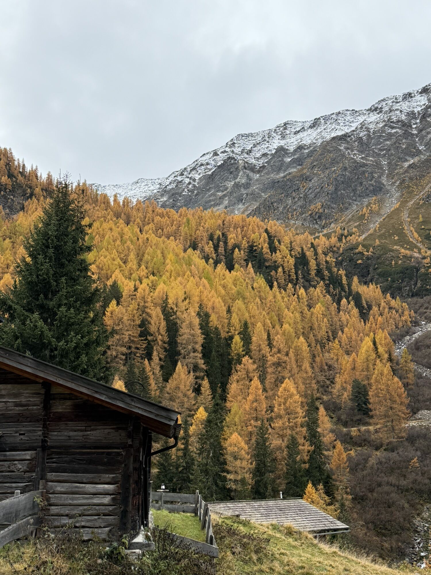
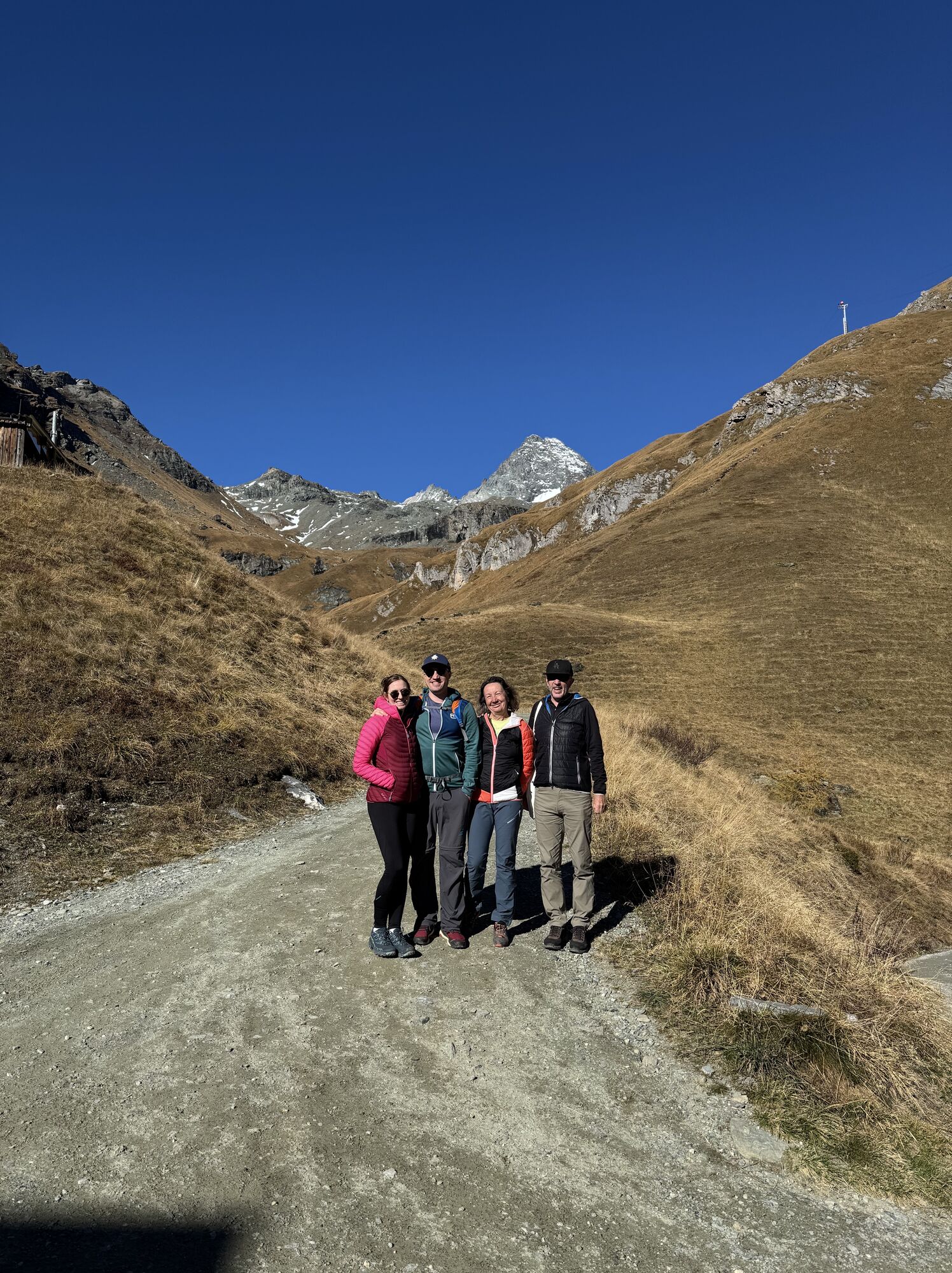
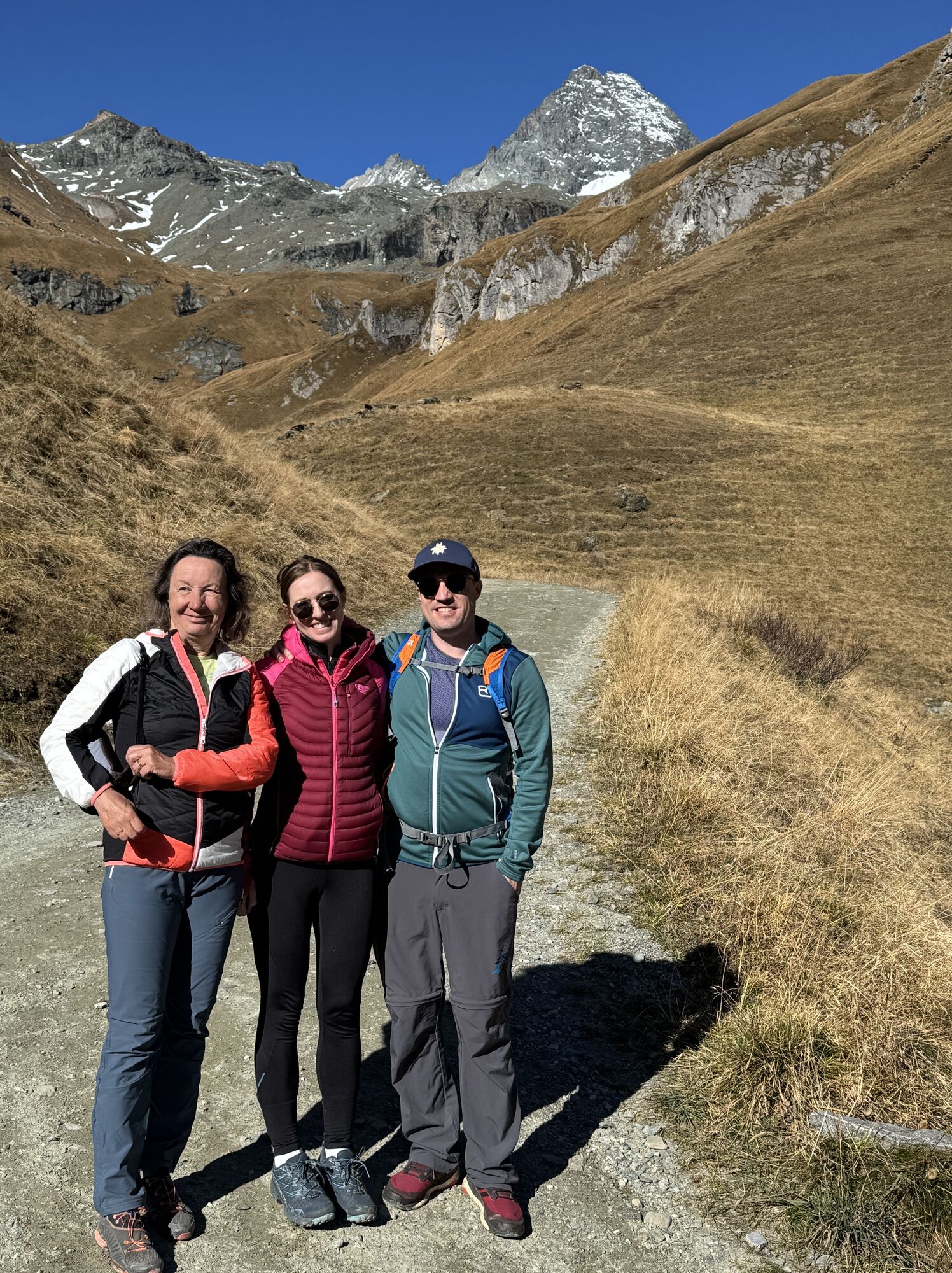
 © Reinhold SingerCréé le 18.10.2025
 © Reinhold SingerCréé le 18.10.2025
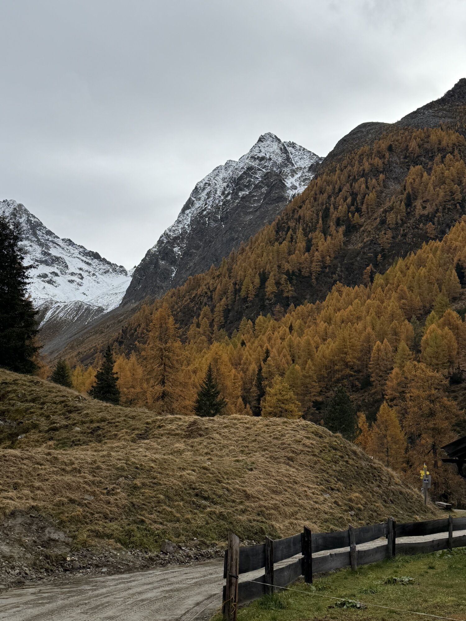
 © Mechthild MietschnigCréé le 17.09.2025
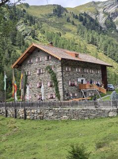
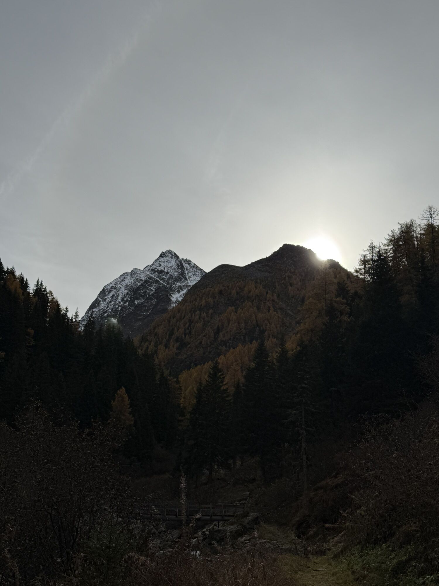
 © MiriamhaferkampCréé le 23.08.2025
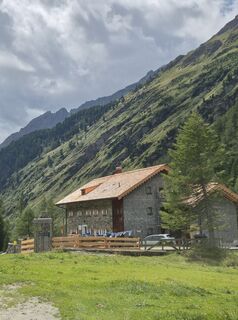 © MiriamhaferkampCréé le 23.08.2025
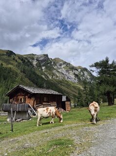 © MiriamhaferkampCréé le 23.08.2025
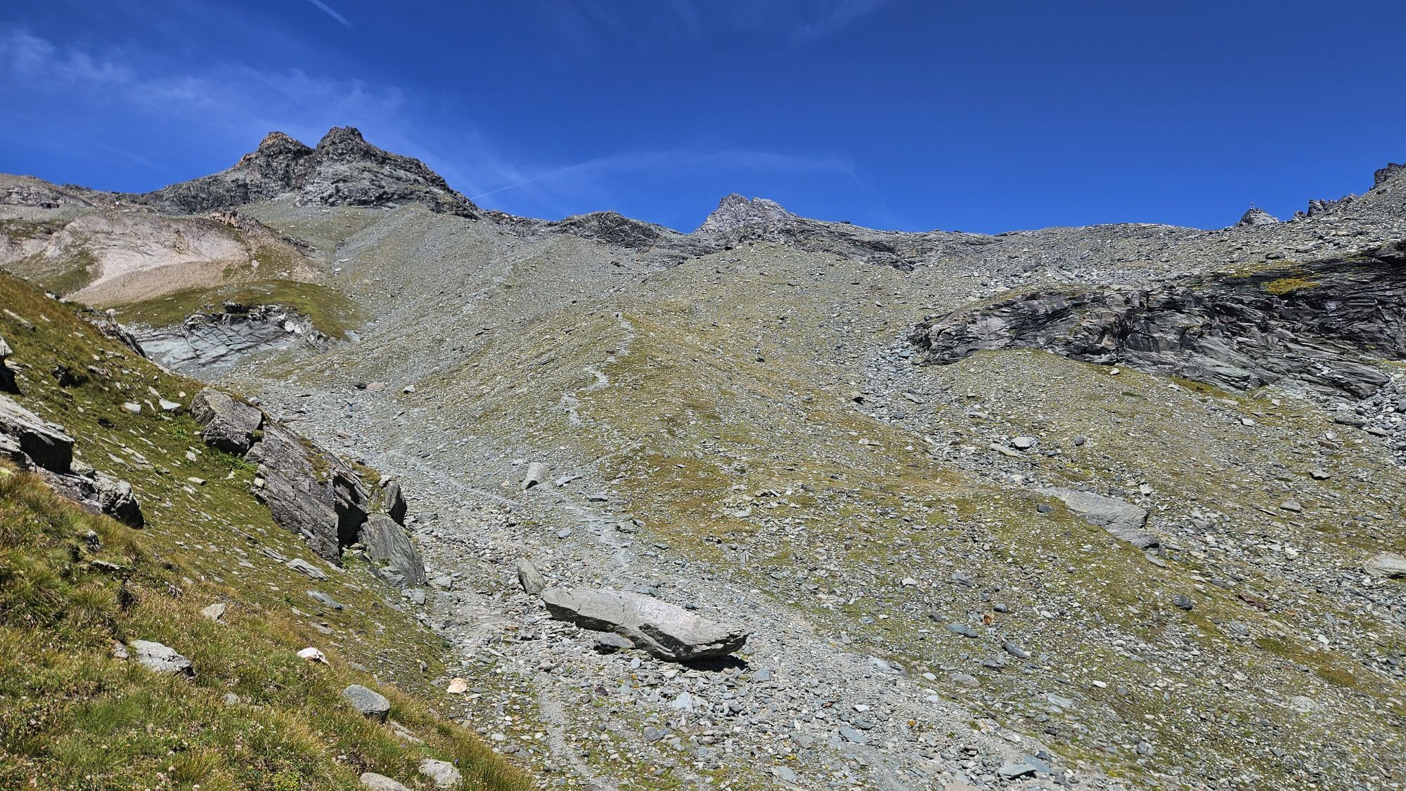
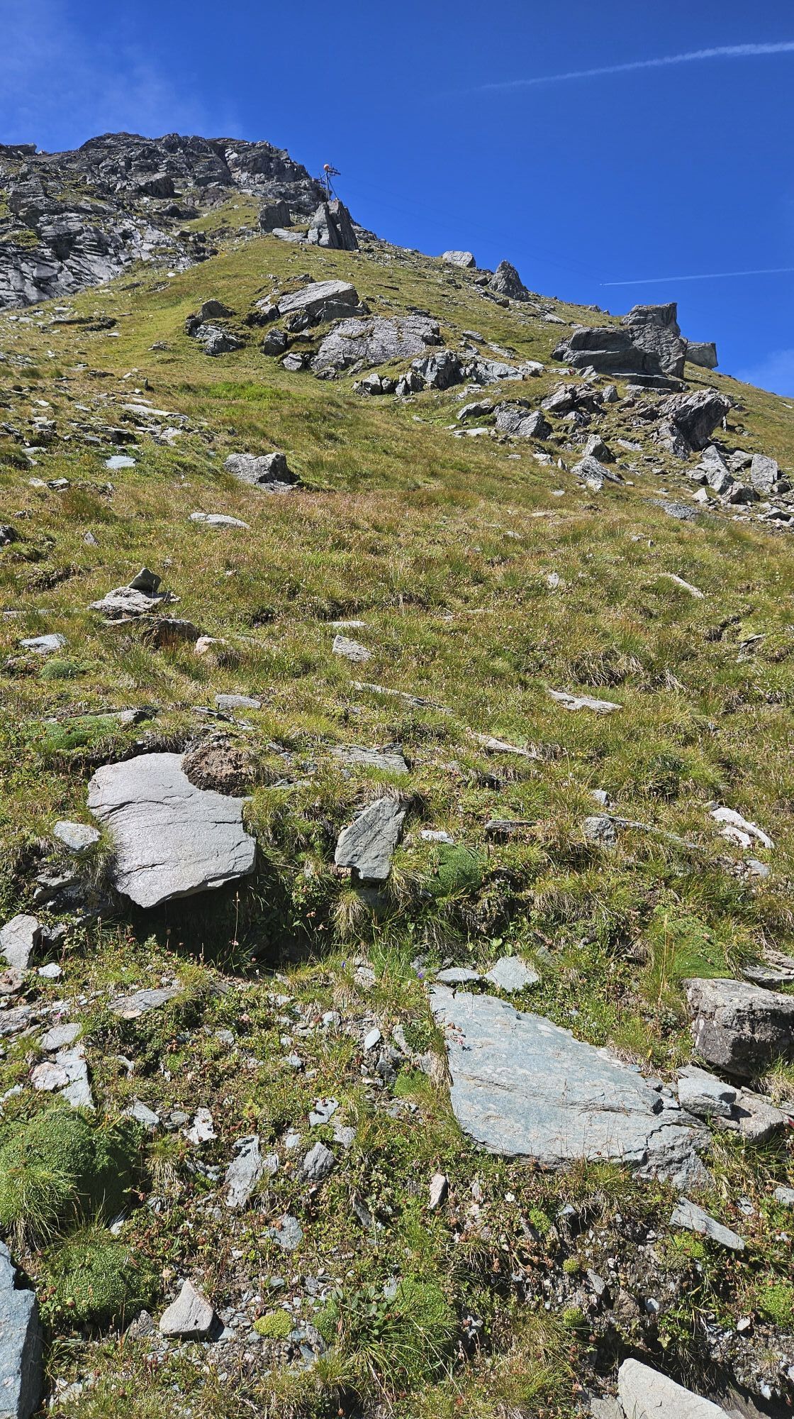
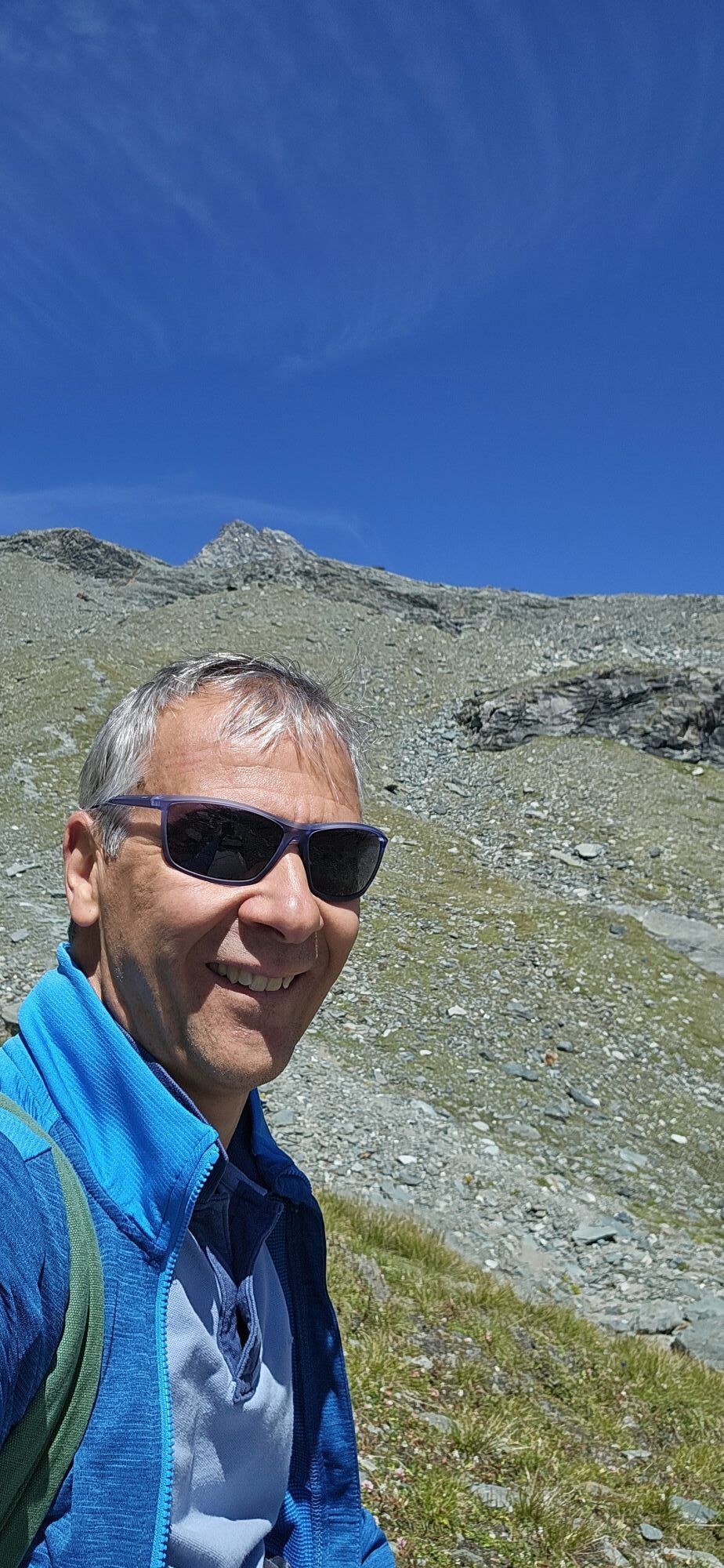
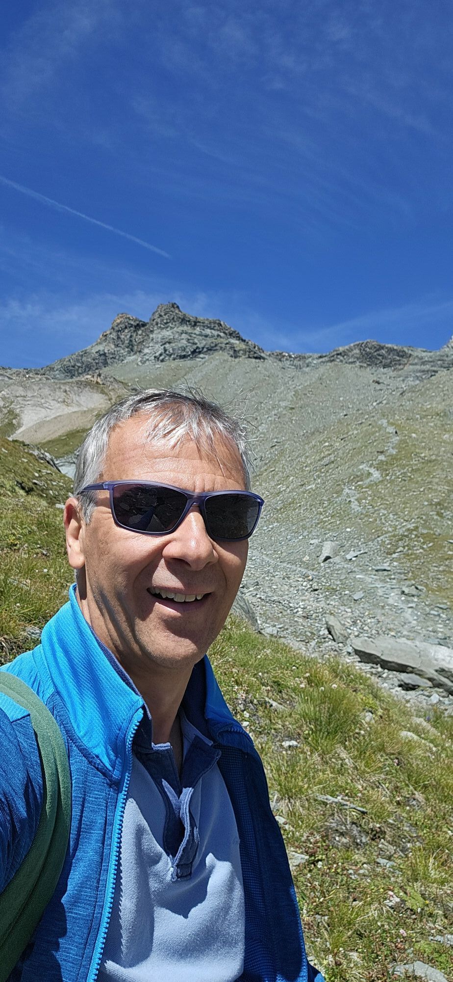
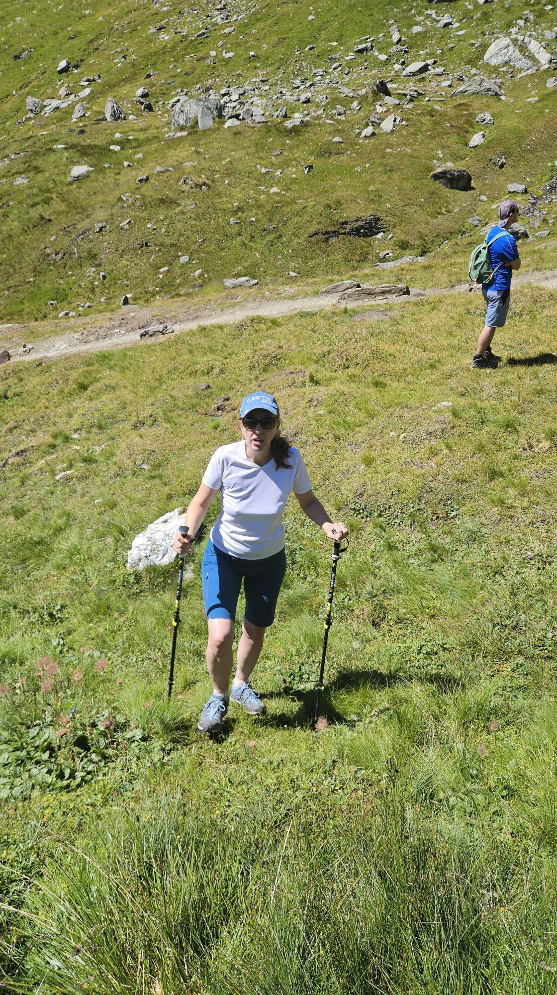
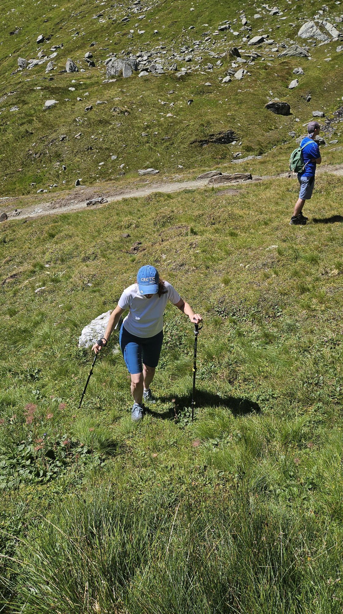
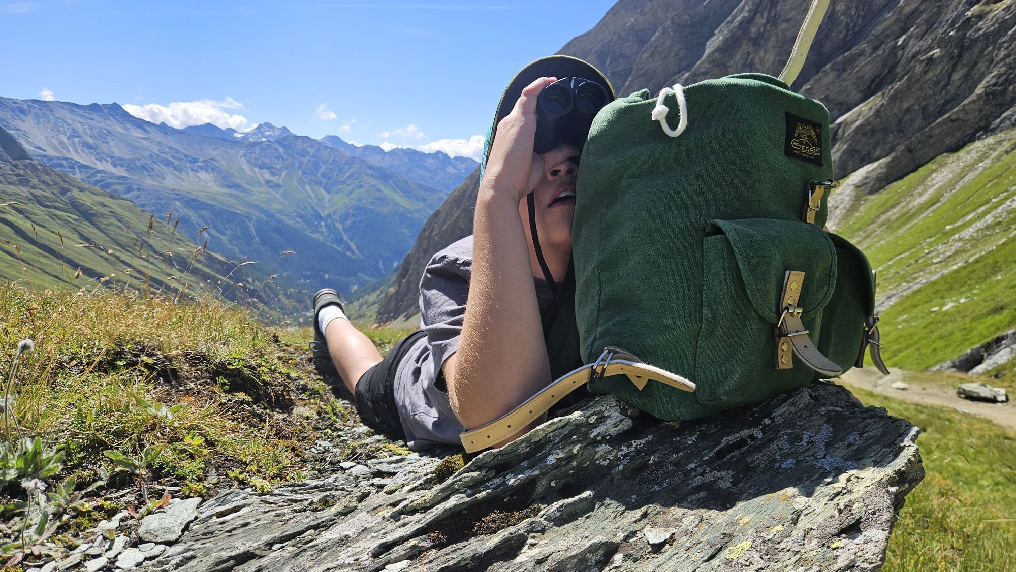
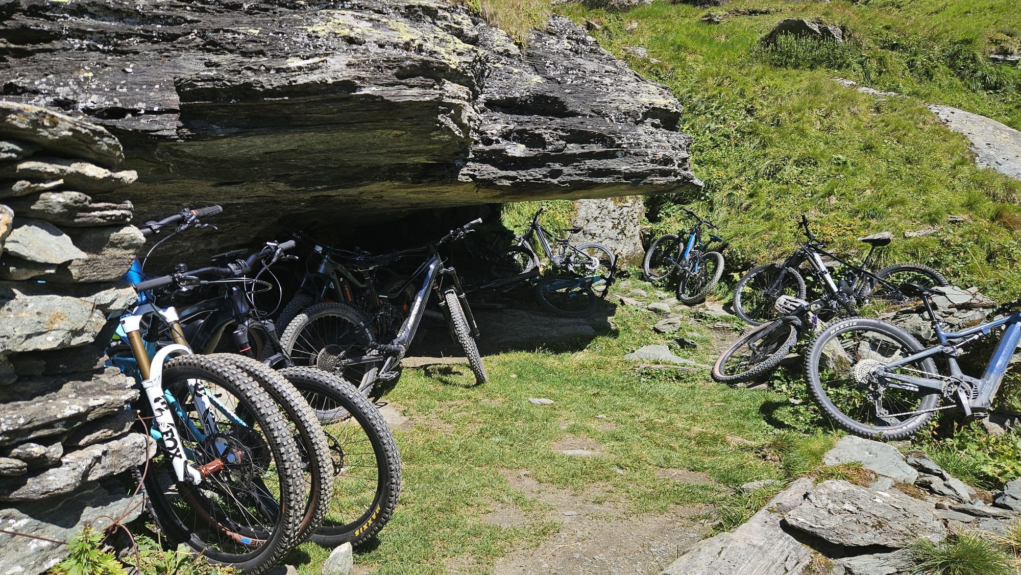
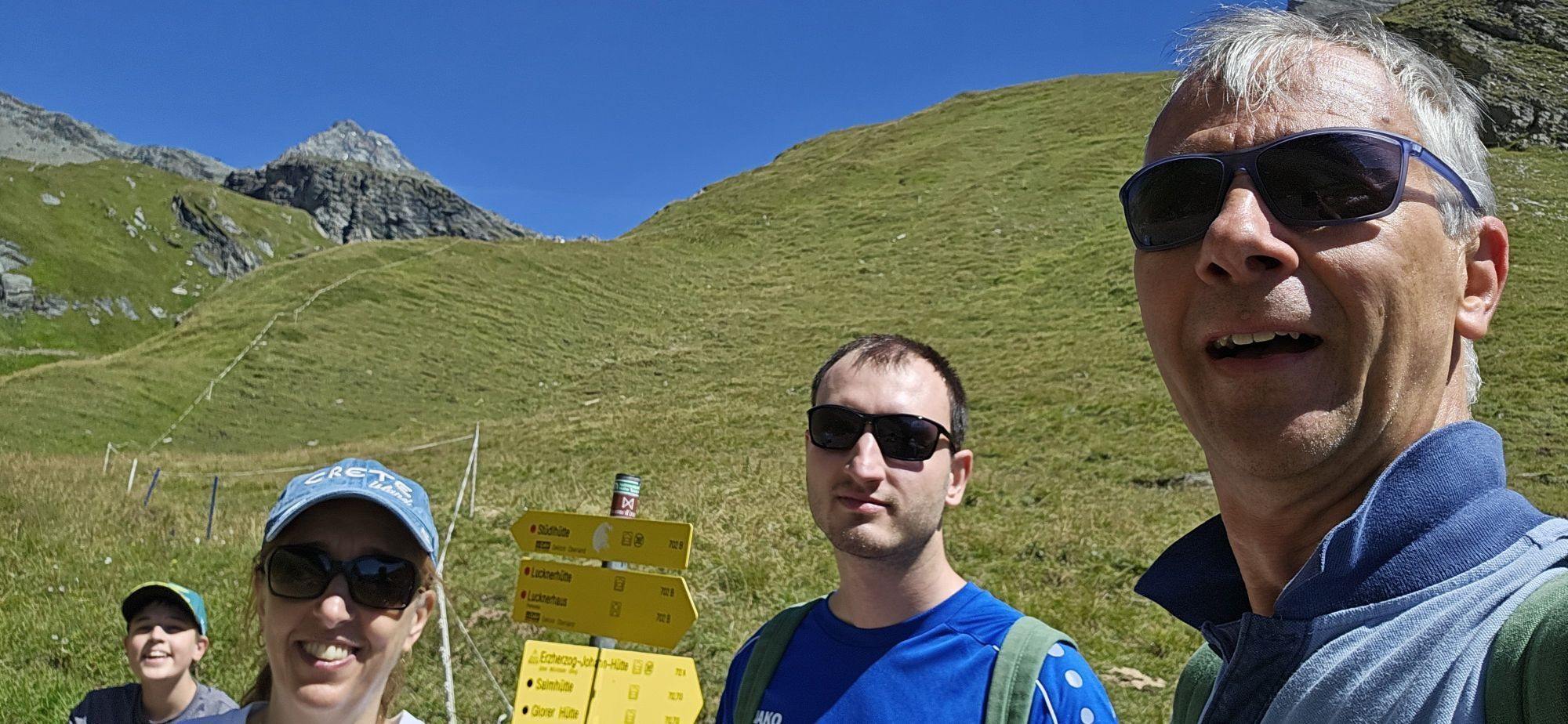
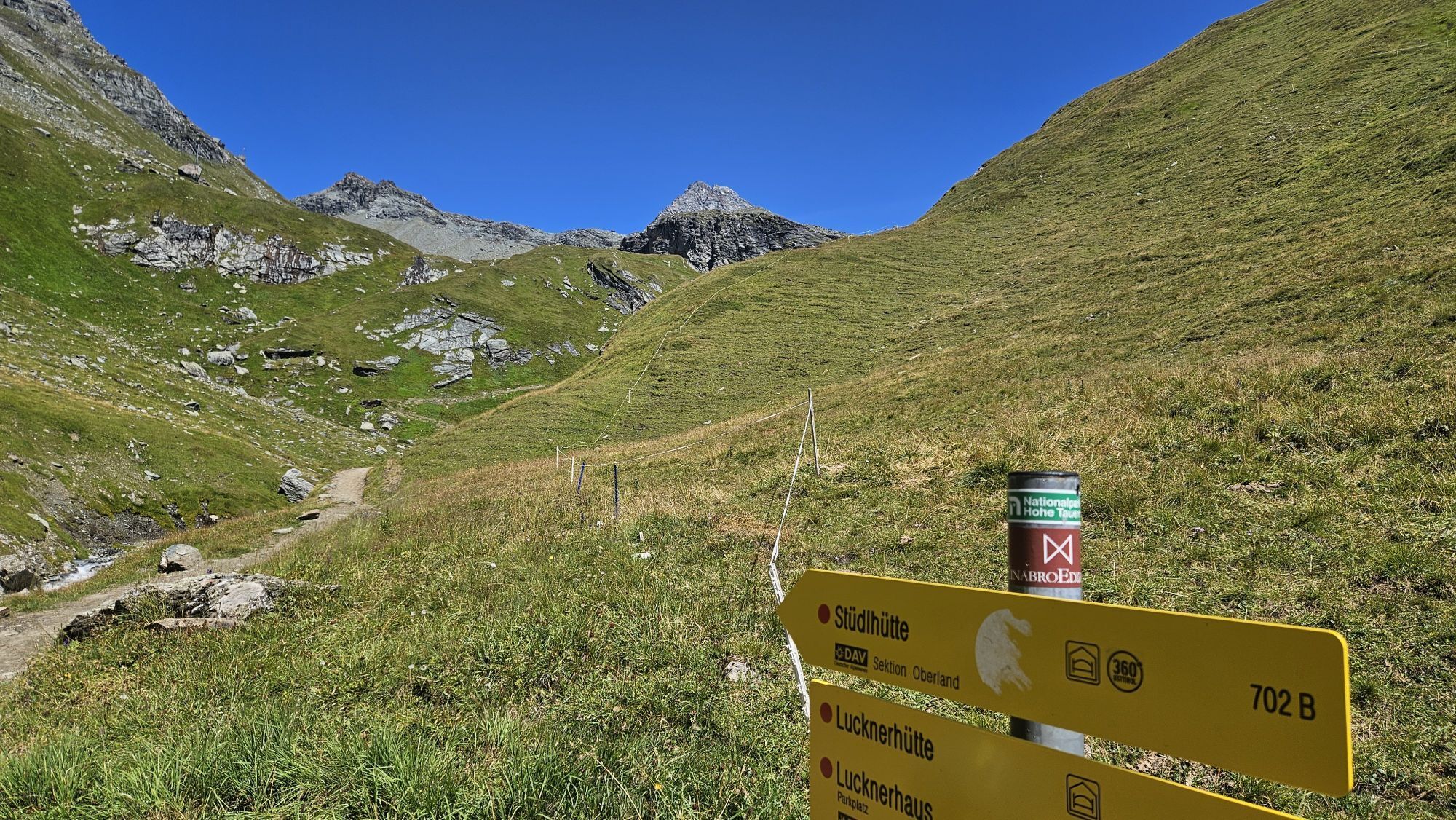
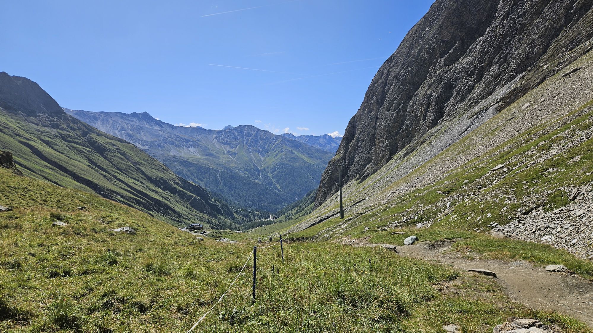
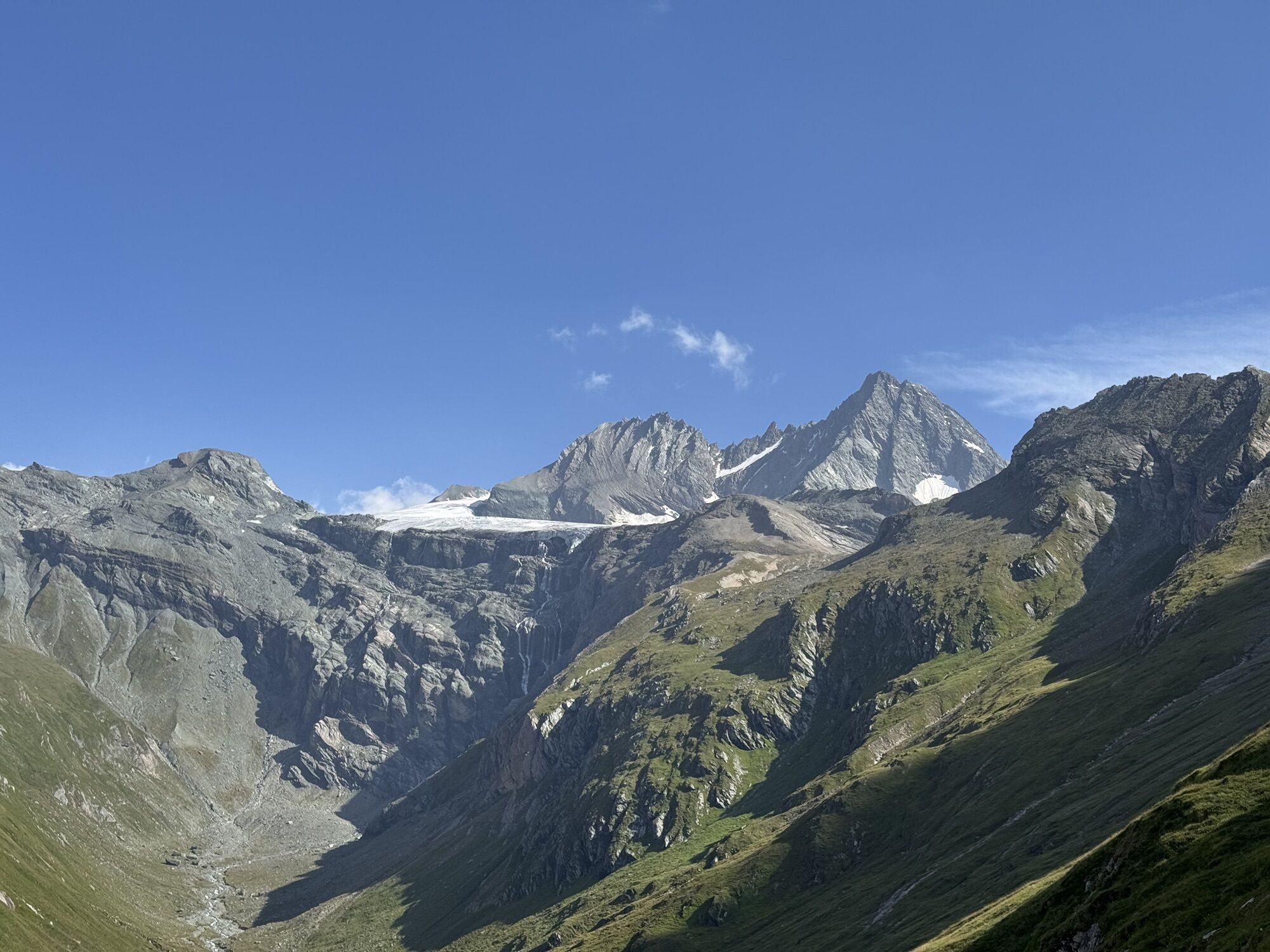
 © Robert8992Créé le 18.08.2025
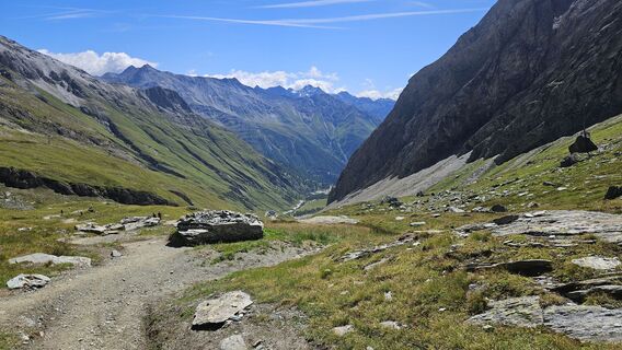 © Robert8992Créé le 18.08.2025
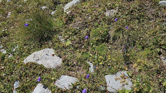 © Robert8992Créé le 18.08.2025
 © Robert8992Créé le 18.08.2025
 © Robert8992Créé le 18.08.2025
 © Robert8992Créé le 18.08.2025
 © Robert8992Créé le 18.08.2025
 © Robert8992Créé le 18.08.2025
 © Robert8992Créé le 18.08.2025
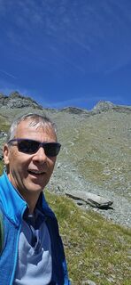 © Robert8992Créé le 18.08.2025
 © Robert8992Créé le 18.08.2025
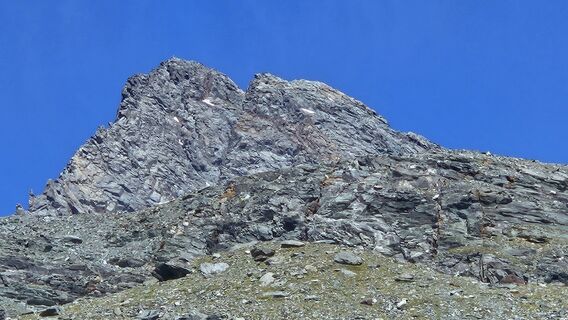 © Robert8992Créé le 18.08.2025
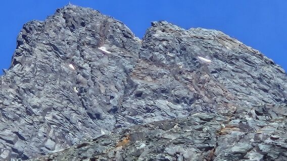 © Robert8992Créé le 18.08.2025
 © Robert8992Créé le 18.08.2025
 © Robert8992Créé le 18.08.2025
 © Robert8992Créé le 18.08.2025
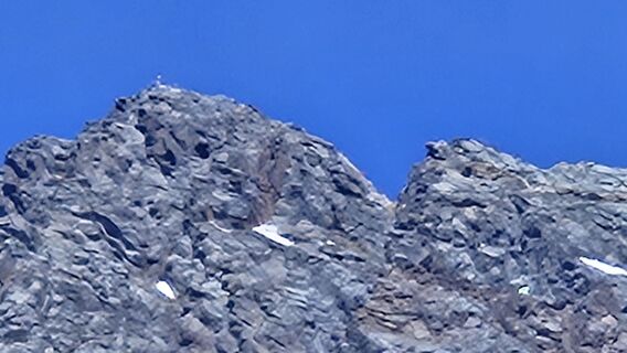 © Robert8992Créé le 18.08.2025
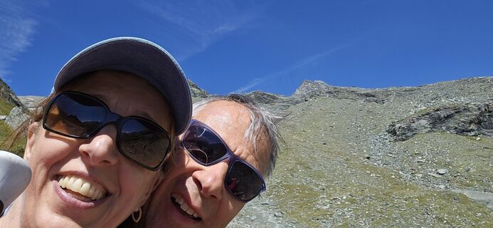 © Robert8992Créé le 18.08.2025
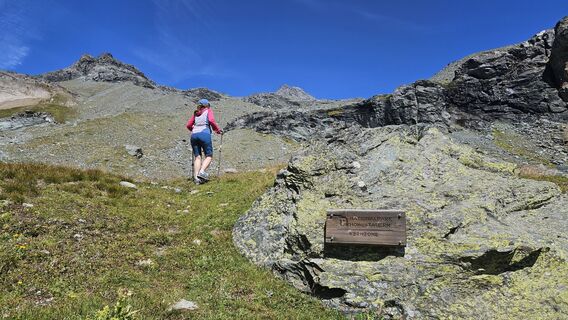 © Robert8992Créé le 18.08.2025
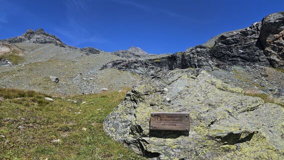 © Robert8992Créé le 18.08.2025
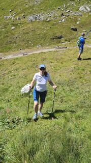 © Robert8992Créé le 18.08.2025
 © Robert8992Créé le 18.08.2025
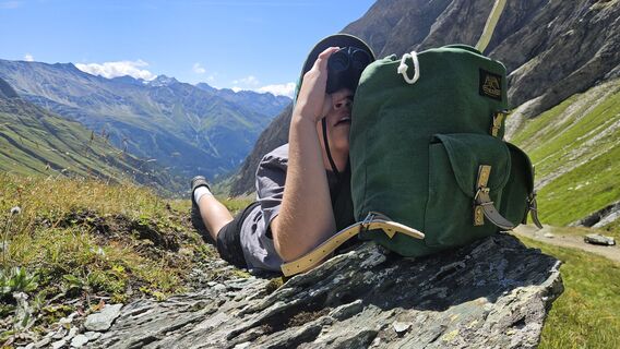 © Robert8992Créé le 18.08.2025
 © Robert8992Créé le 18.08.2025
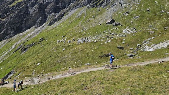 © Robert8992Créé le 18.08.2025
 © Robert8992Créé le 18.08.2025
 © Robert8992Créé le 18.08.2025
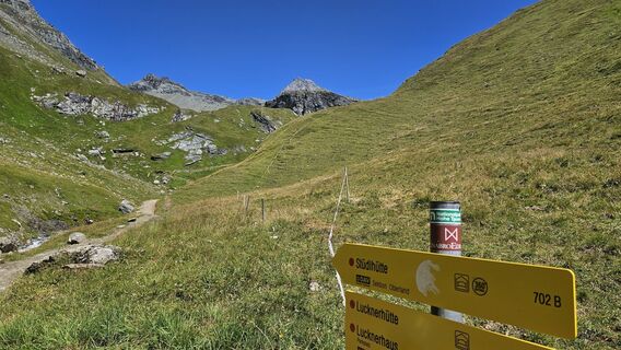 © Robert8992Créé le 18.08.2025
 © Robert8992Créé le 18.08.2025
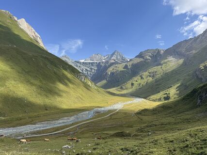 © Daniela TöpferCréé le 14.08.2025
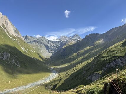 © Daniela TöpferCréé le 14.08.2025
 © Daniela TöpferCréé le 14.08.2025
 © Daniela TöpferCréé le 14.08.2025


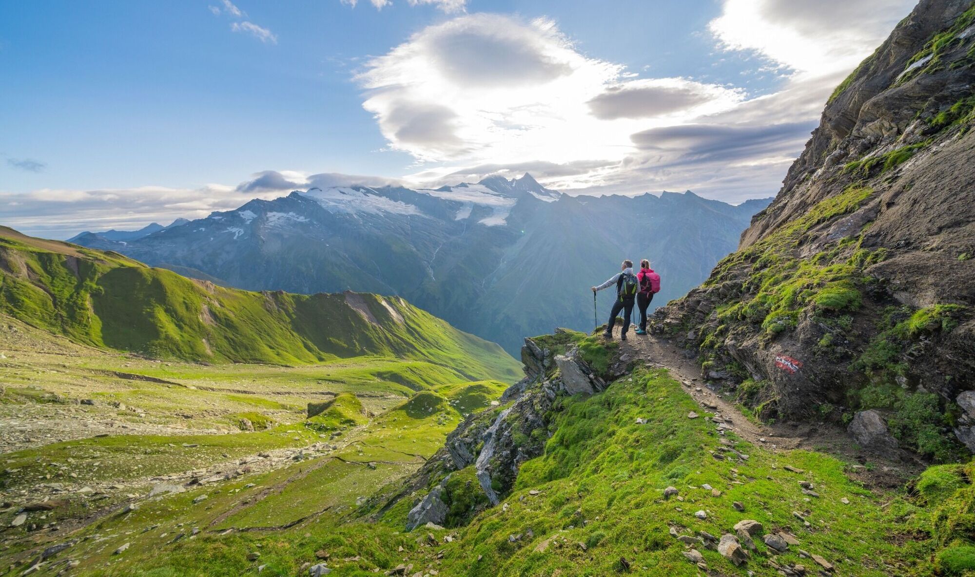
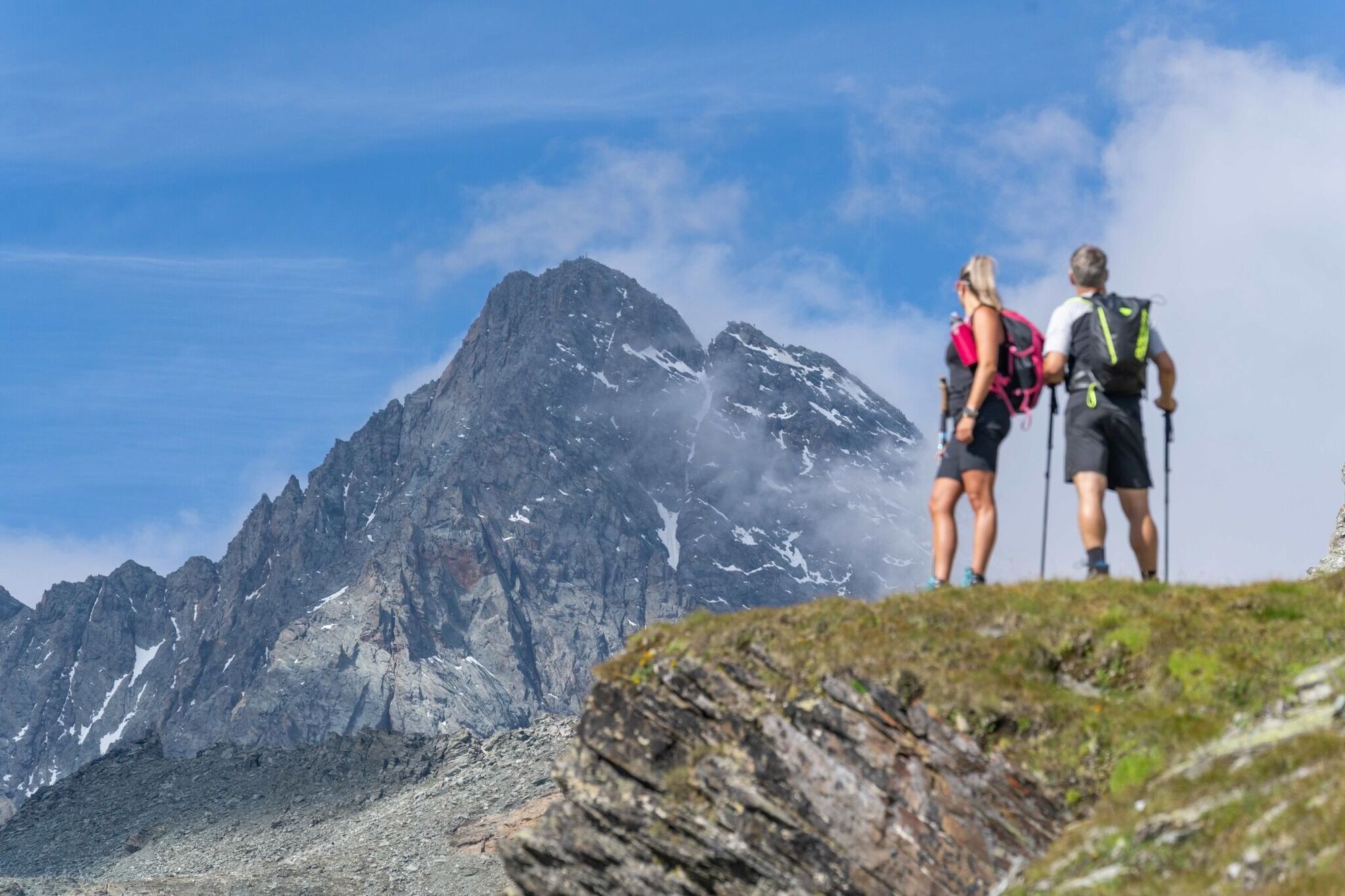
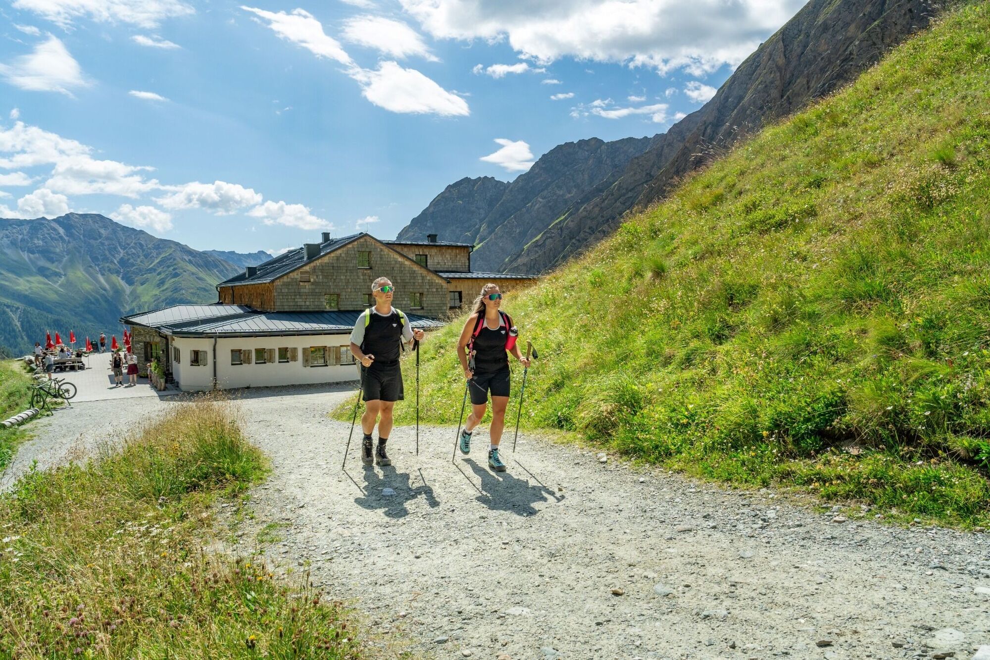
Crown your long distance hiking desires, on this fabulous mountain ridge trail. In six daily stages you will be able to hike the approximately 60 Kilometers of the Glockner Crown, within the realm of the
King...
Crown your long distance hiking desires, on this fabulous mountain ridge trail. In six daily stages you will be able to hike the approximately 60 Kilometers of the Glockner Crown, within the realm of the
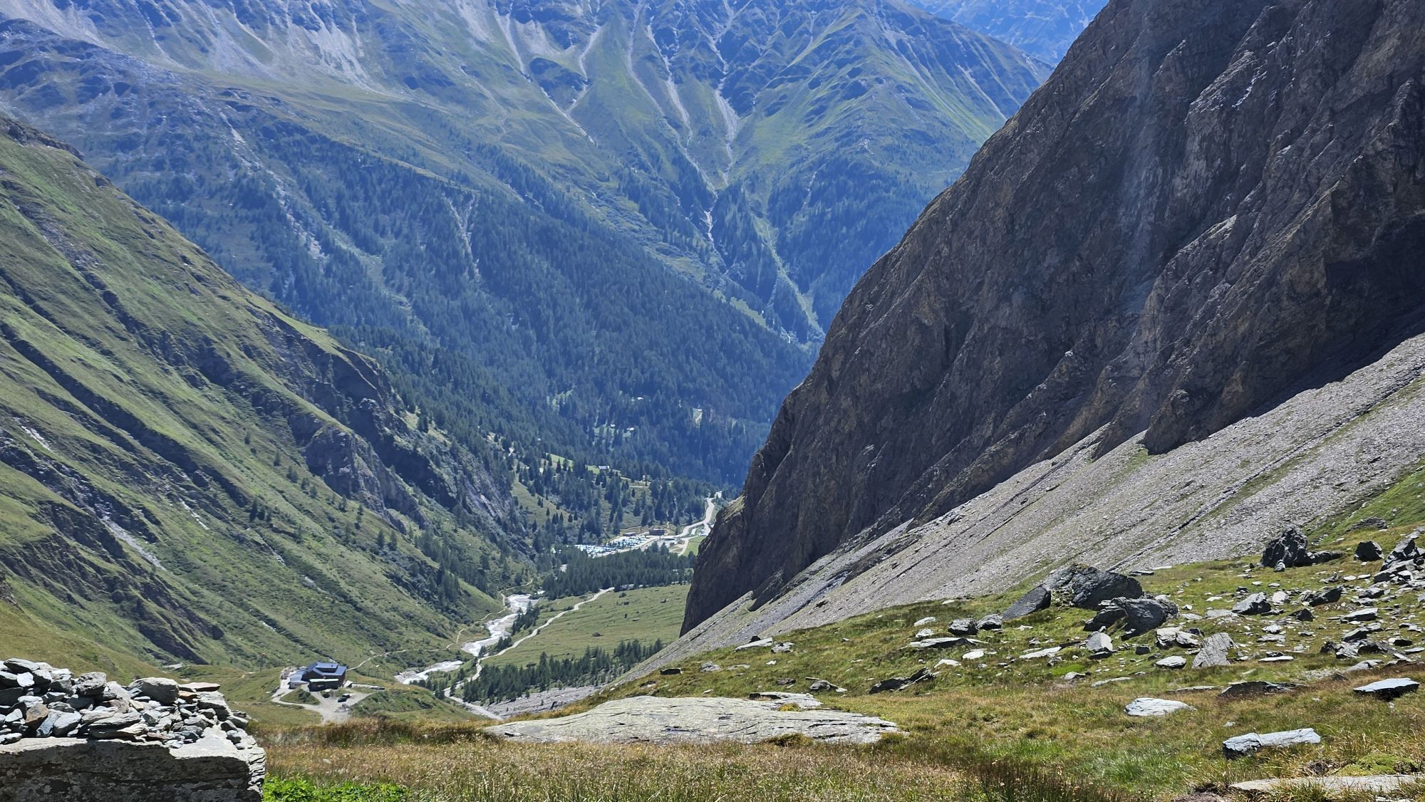
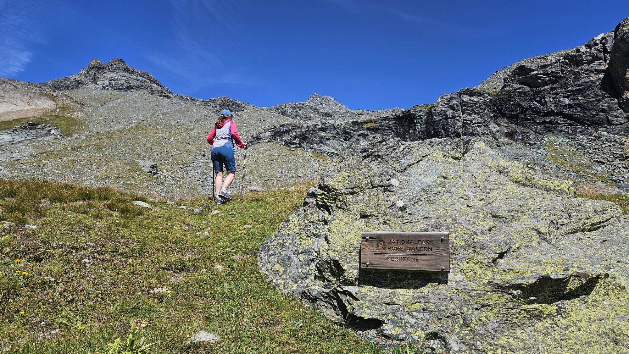
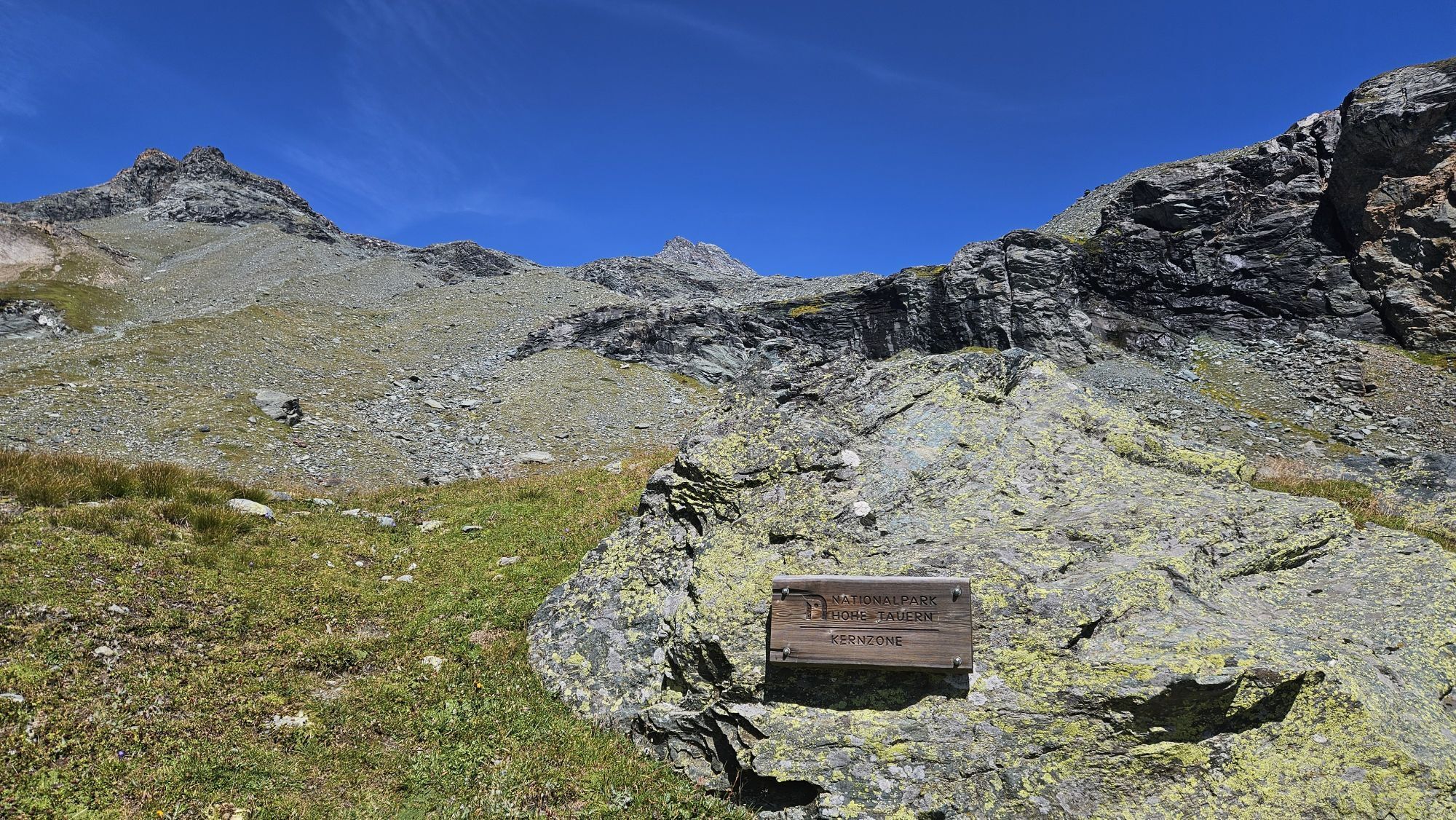
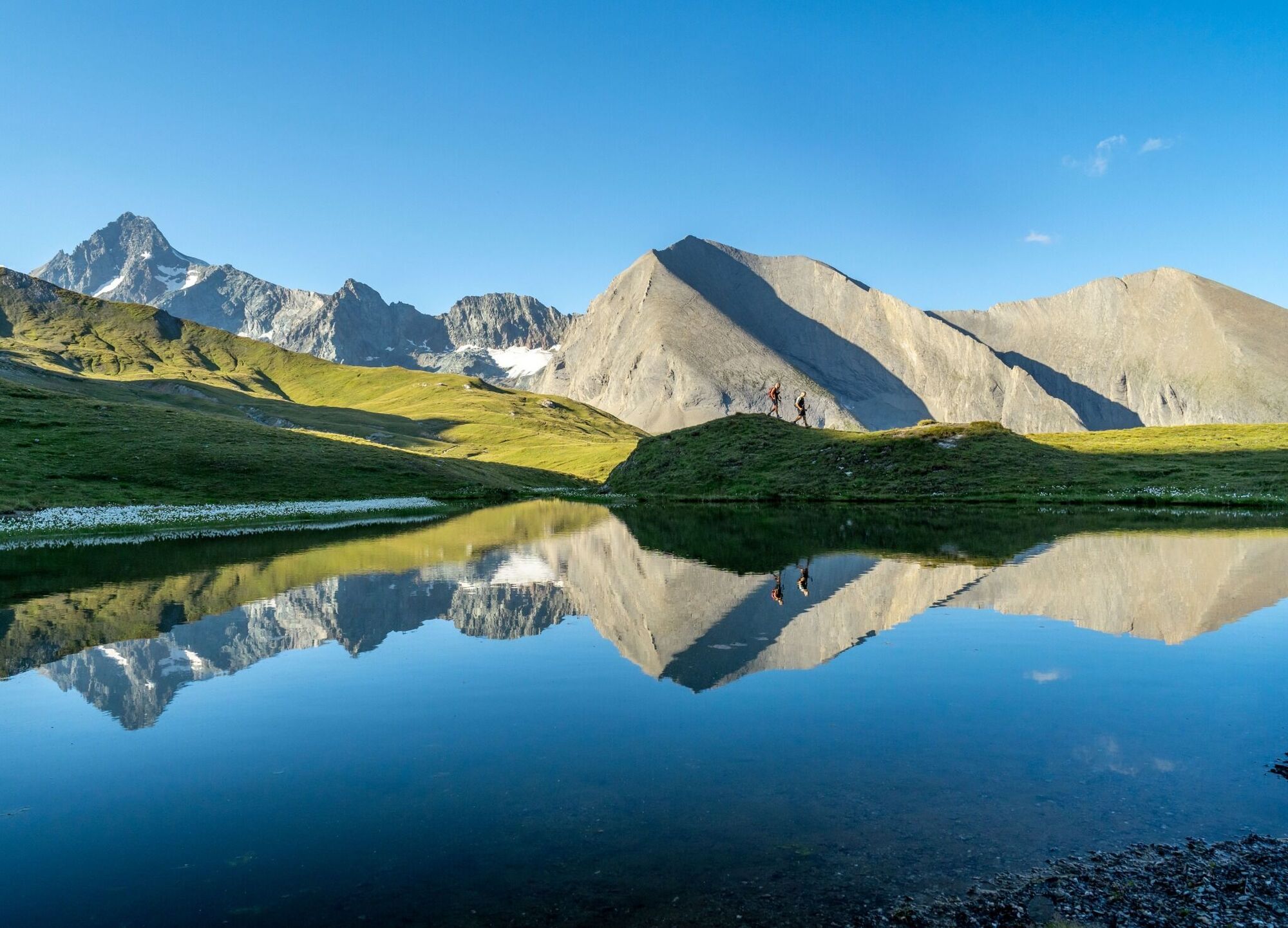
King Großglockner. High alpine farmland and the famous peaks of the Hohe Tauern National Park set the stage. You'll discover Edelweiss Meadow and the nature power spot Spinevitrol, as well as spacious grazing pastures along your way. Providing you with a sense of being in a Tibetan High Valley.
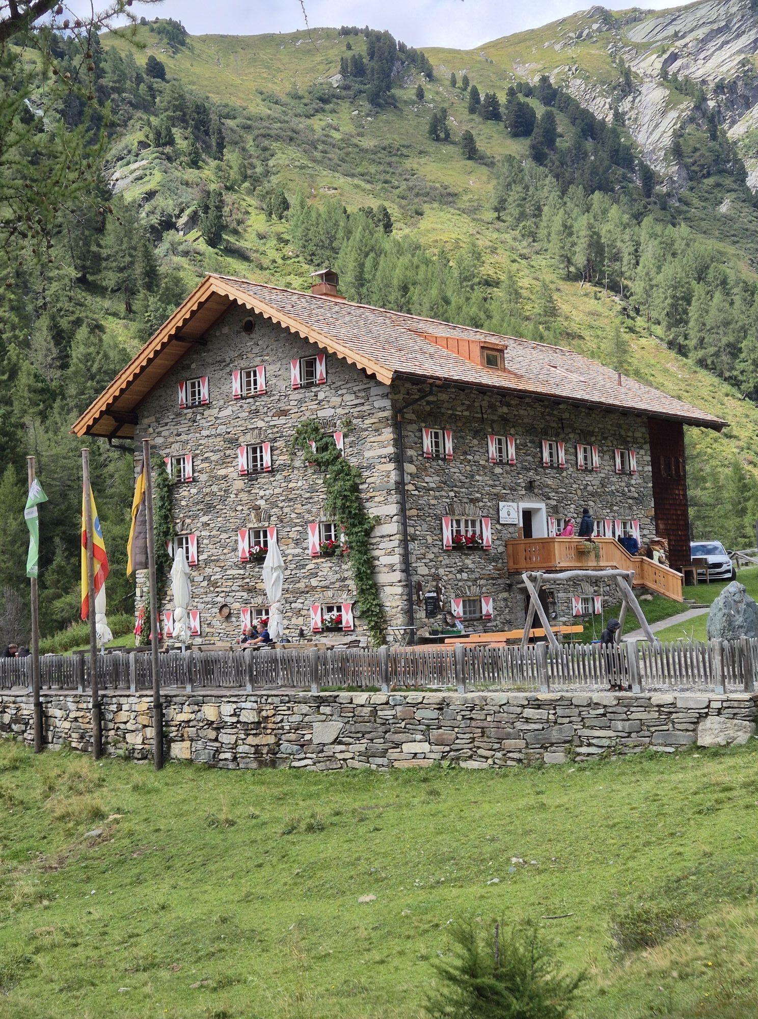
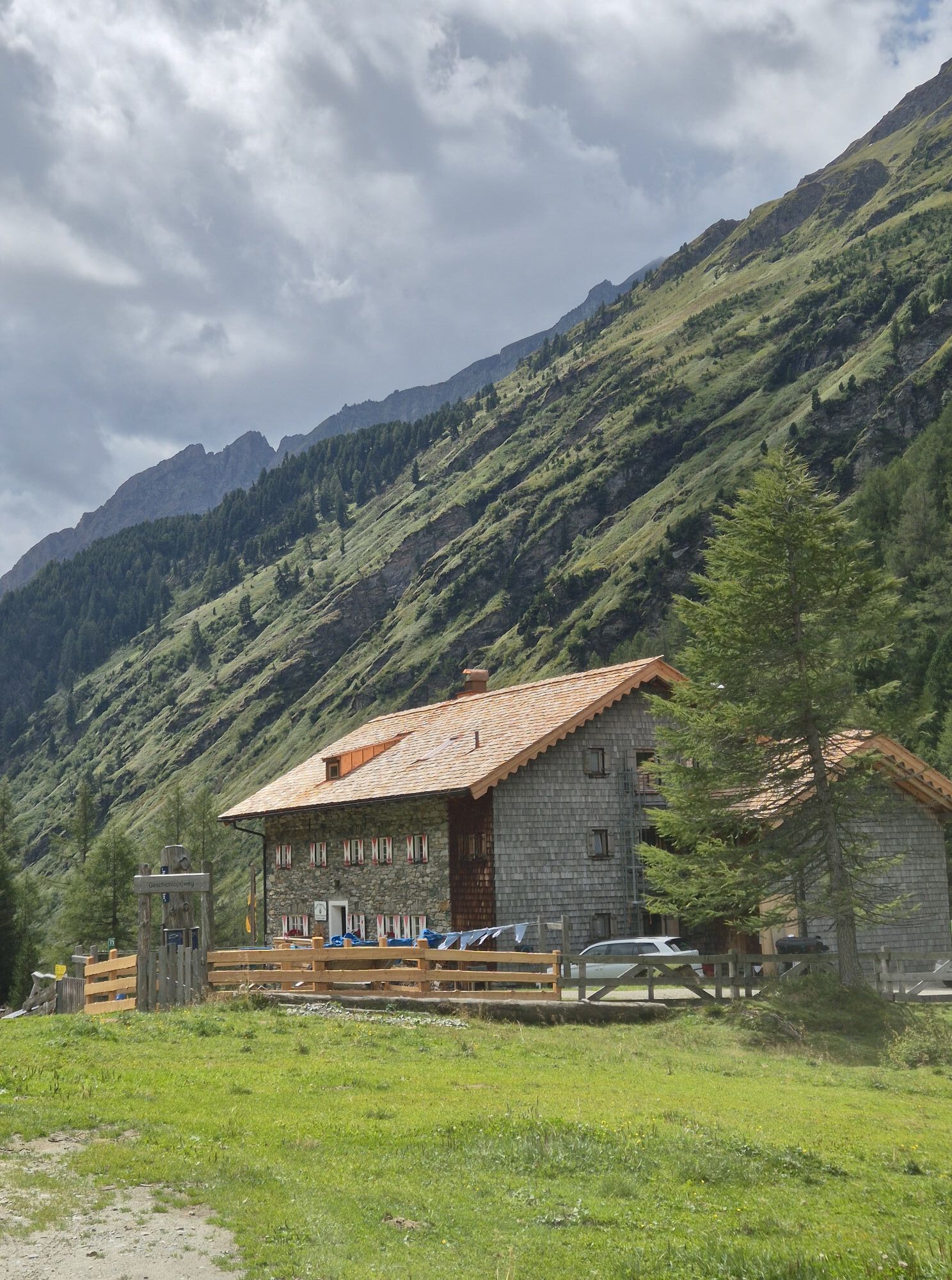
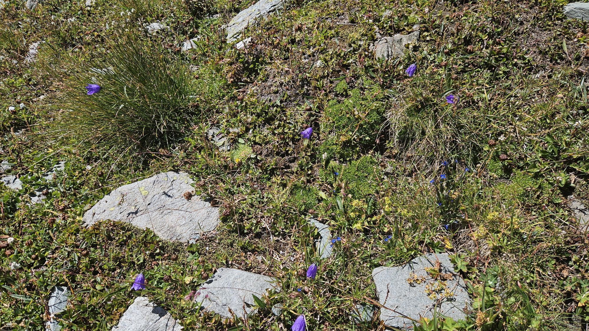
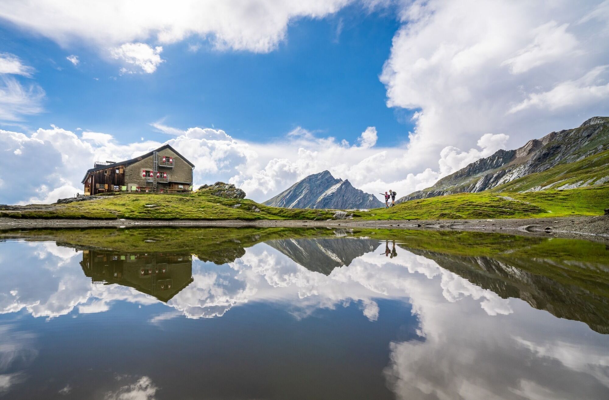
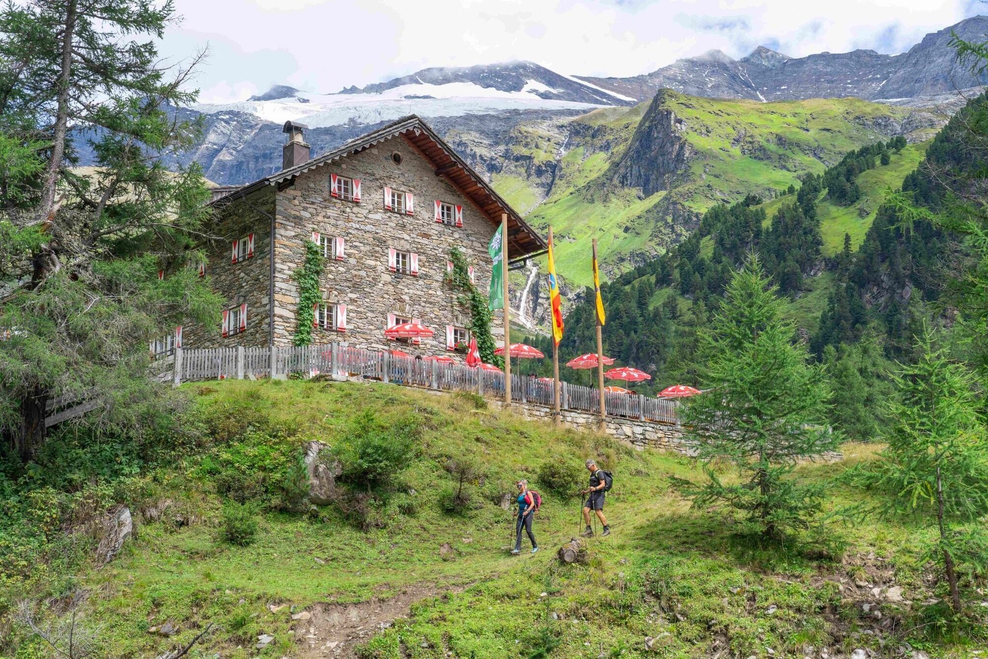
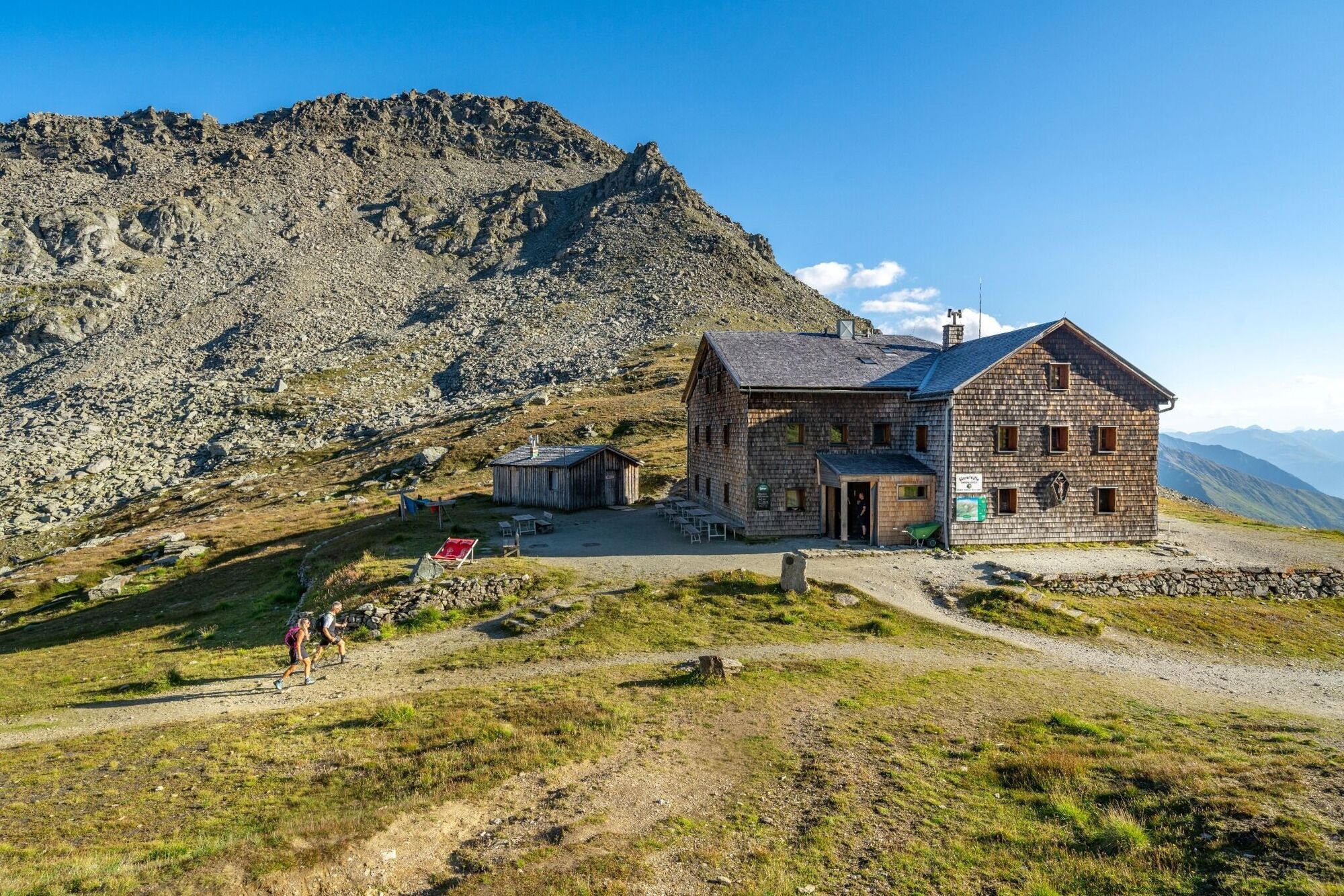
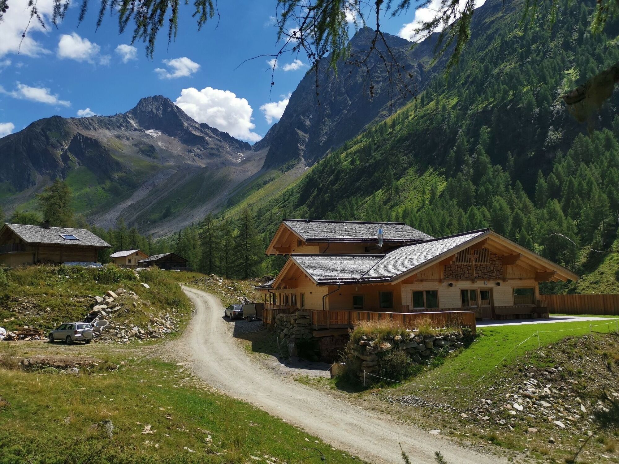
Crossing varying vegetation zones, from flower meadows, animal pastures and sparse areas, all the way to scree fields and glacier ice. Culinary delights and the special rustic vibe of our mountain huts await you. The five jewels of our Glockner Crown are the Sudetendeutsche Hütte, Kalser Tauernhaus, Lucknerhütte, Glorerhütte and the Alpen Inn Glödis Refugium.
They are individually reachable, as the final destination of your daily stages and offer you a place for rest and regeneration. Also part of the high mountain Glockner Crown Trail are the Äußere Steiner Alm, Bergeralm, Stüdlhütte and the Salmhütte, where you can stop for refreshments. The Kals-Matreier-Törl Haus or the Adler Lounge will be along your trail, should you decide to have Kals a.G. as your starting point. FYI: You have the opportunity for day hiking every segment of the trail, as you can enter and exit the trail at the end of each daily stage.

Hiking boots, rain protection, hiking sticks, warm changing cloths, snacks, sun protection, cap, gloves
per car to Kals am Großglockner, center of Kals/Ködnitz or Kals/Großdorf
Taxi shuttle to Matrei/Parking Glanz
Bus line 952, bus stop Kals/Gemeindeamt or Kals/Großdorf
Parking center of Kals/Ködnitz or parking of the cablecar Kals/Großdorf
Webcams de la tournée
Uttendorf
Uttendorf
Kaiser Franz Josef Höhe
Lucknerhütte
Matrei in Osttirol
Matrei Bergstation Goldried
Matrei Bergstation Goldried
Kals - Gradonna
Berggasthaus Goldried
Freiwandeck
Kals am Großglockner
Kals am Großglockner
Adlerlounge - Cimaross
Adlerlounge - Cimaross
Adlerlounge - Cimaross
Adlerlounge - Cimaross
Adlerlounge - Cimaross
Adlerlounge - Cimaross
Adlerlounge - Cimaross
Adlerlounge - Cimaross
Glocknerwinkel
Kalser Glocknerstraße - Glocknerwinkel
Adlersruhe
Lucknerhaus
Matrei in Osttirol - Bethuberhof
Matrei in Osttirol / Strumerhof
Matrei in Osttirol
Kaiser Franz-Josef-Haus
Parcours populaires à proximité
- 3,9
Chemin glaciaire vers la Pasterze avec le Gamsgrubenweg (jusqu'au tunnel 6)
moyenRandonnée8,05 km - 4,5
Circular hike Proßeggklamm
moyenRandonnée8,41 km - 4,7
Glödis 3206m: PP Seichenbrunn, Lienzer Hütte, Glödis KS A/B
difficileRandonnée d'altitude16,1 km - 4,1
Gradental à la cabane Adolf Nossberger - parcours en boucle
moyenRandonnée11,1 km - 5,0
Figerhorn, 2743m, Lucknerhaus
moyenRandonnée6,69 km - 5,0
Kaiser-Franz-Josefs-Höhe zur Oberwalderhütte
difficileRandonnée5,52 km - 4,9
Glockner
moyenRandonnée d'altitude19 km - 4,0
Böses Weibele, 3119m, Lucknerhaus
difficileRandonnée13,8 km - 4,8
Glockner Alpincenter - Salmhütte - Hohenwartkees
moyenRandonnée8,64 km - 4,5
1 Großglockner Normalweg von der Stüdlhütte (Tirol & Kärnten)
difficileRandonnée d'altitude8,17 km
Randonnée et suivi


Ne manquez pas les offres et l'inspiration pour vos prochaines vacances
Votre adresse électronique a été ajouté à la liste de diffusion.