
Trail Virgentaler Sonnseitenweg Stage 4
moyen
Télécharge cette visite sur ton portable
Trail Virgentaler Sonnseitenweg Stage 4
moyen
Chemin de Grande Randonnée
9,16
km
Scanner le code QR et commencer la navigation dans l'application bergfex


Randonnée & tracking





Trail Virgentaler Sonnseitenweg Stage 4
moyen
Distance
9,16
km
Durée
03:30
h
Ascension
325
m
Altitude
1 328 -
1 758
m
Téléchargement de la piste
Trail Virgentaler Sonnseitenweg Stage 4
moyen
Chemin de Grande Randonnée
9,16
km
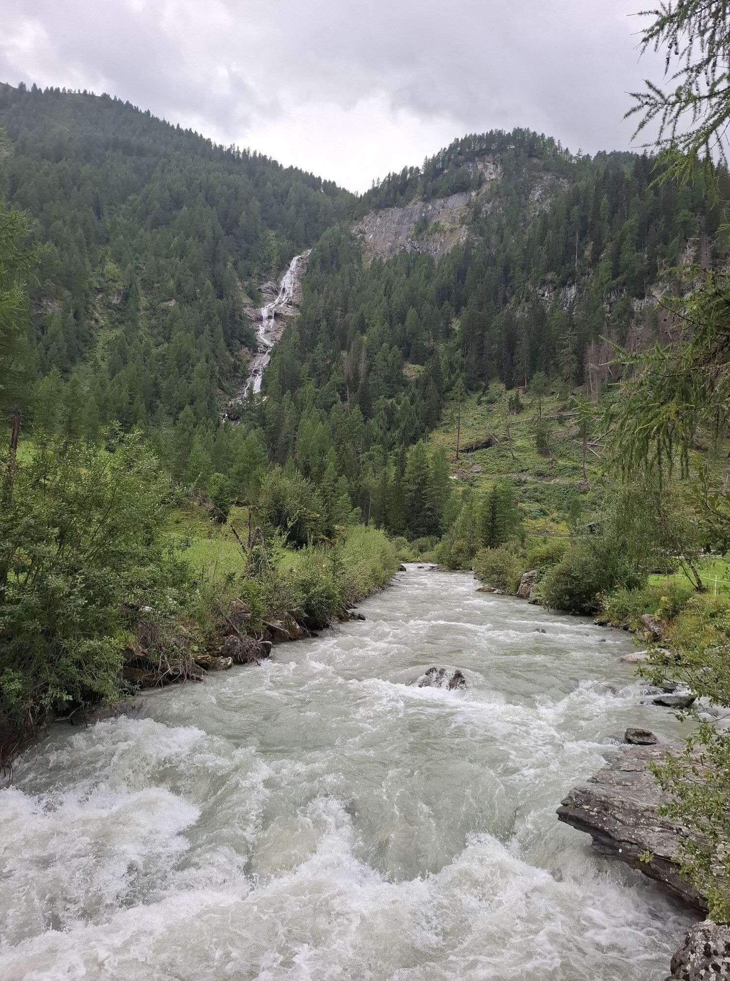
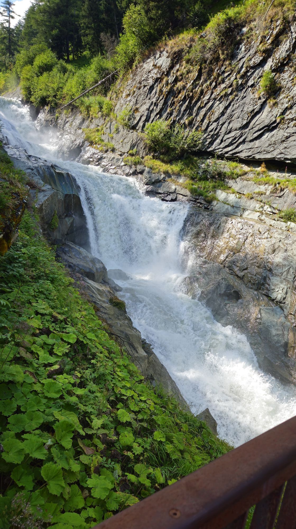
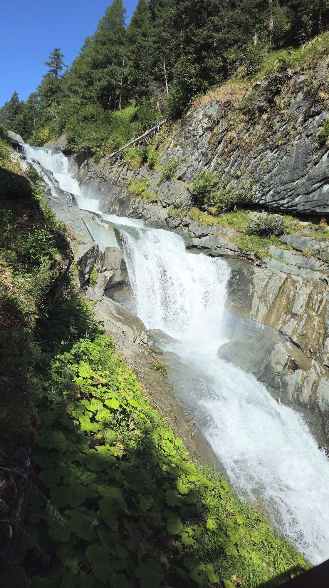
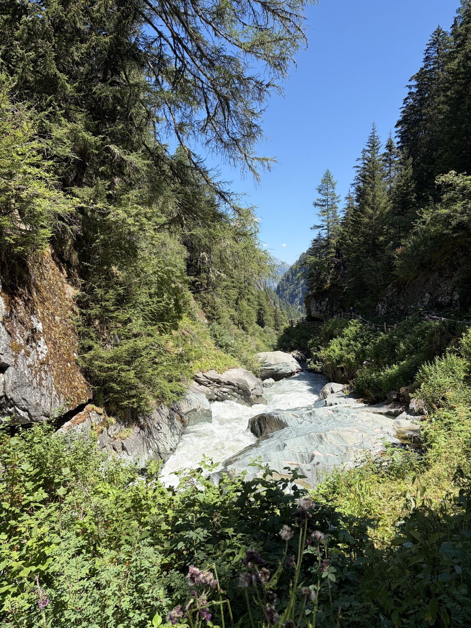
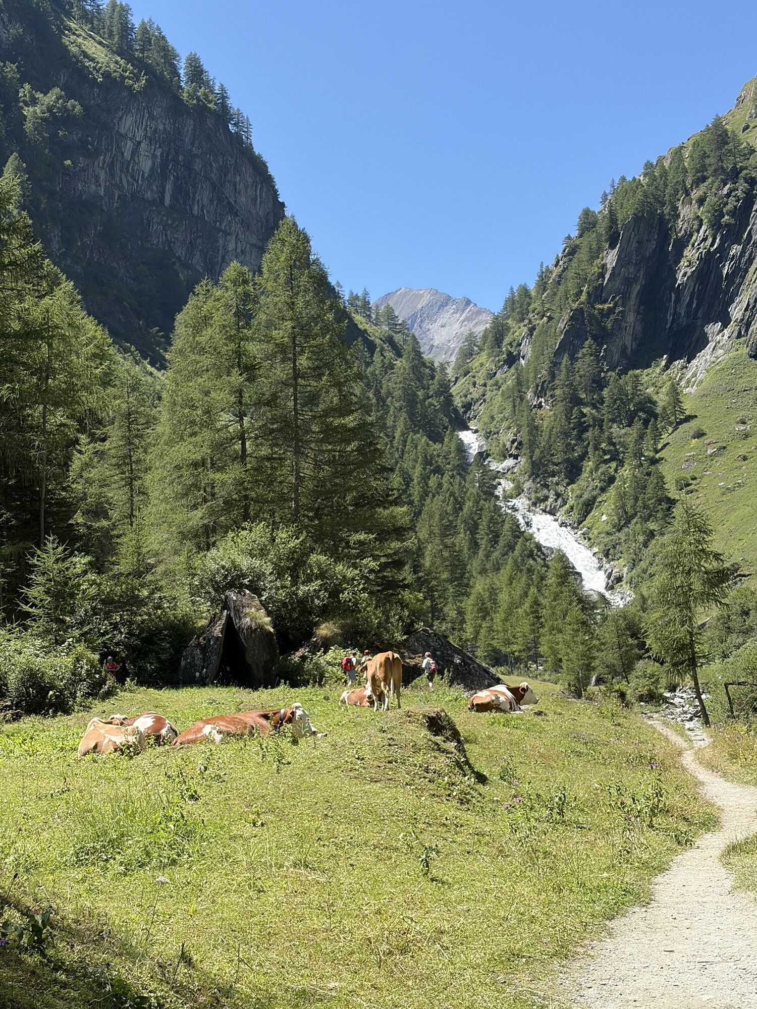
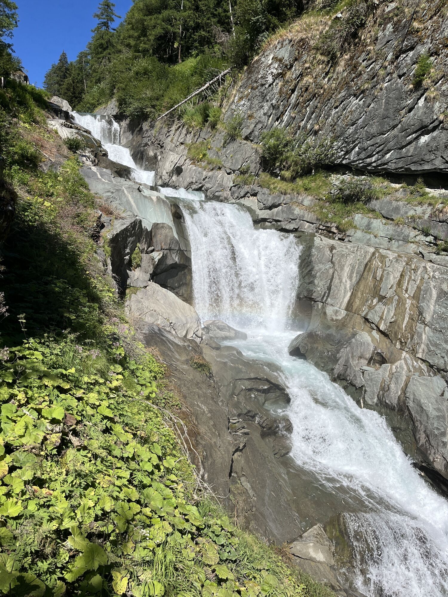
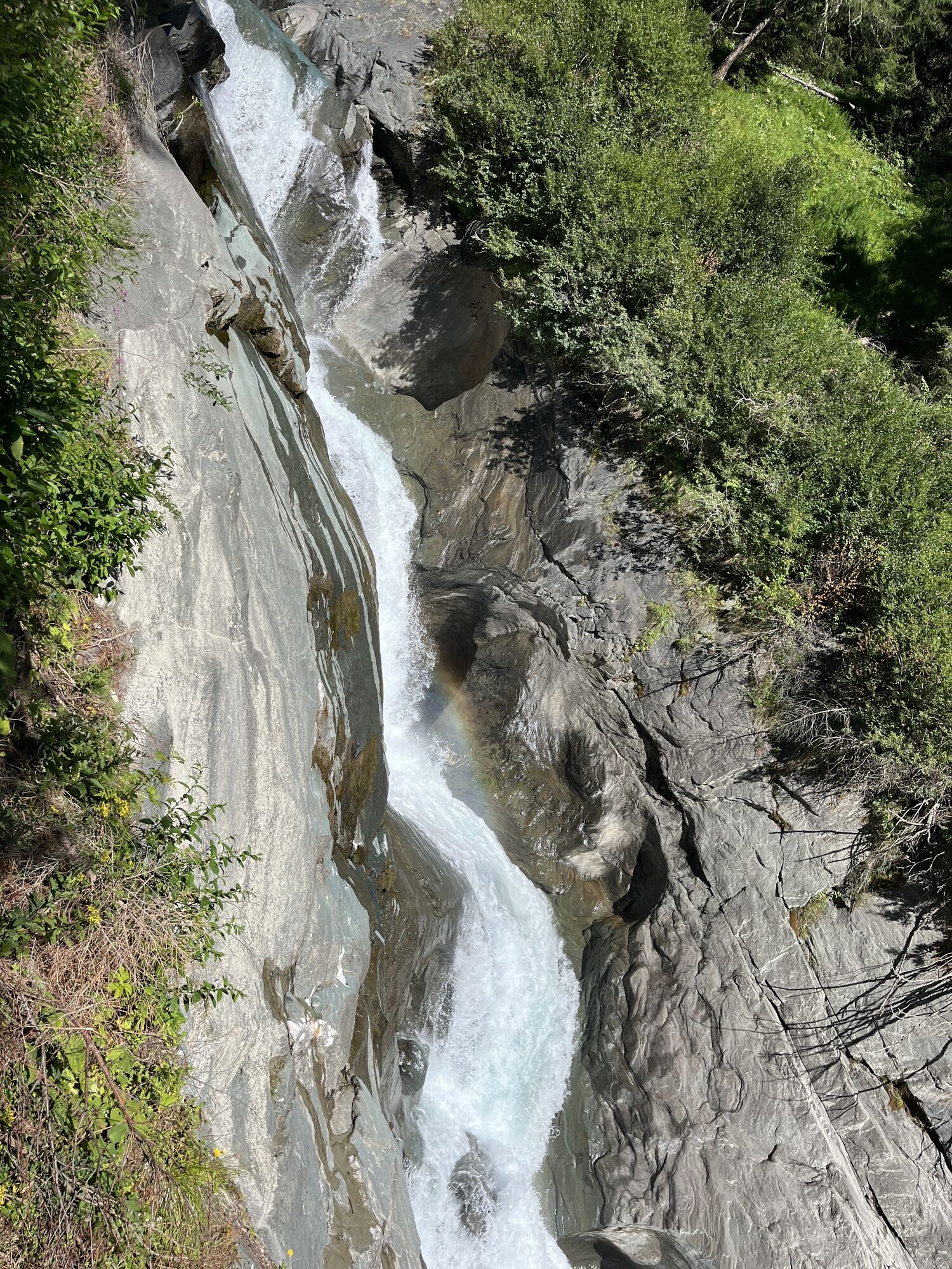
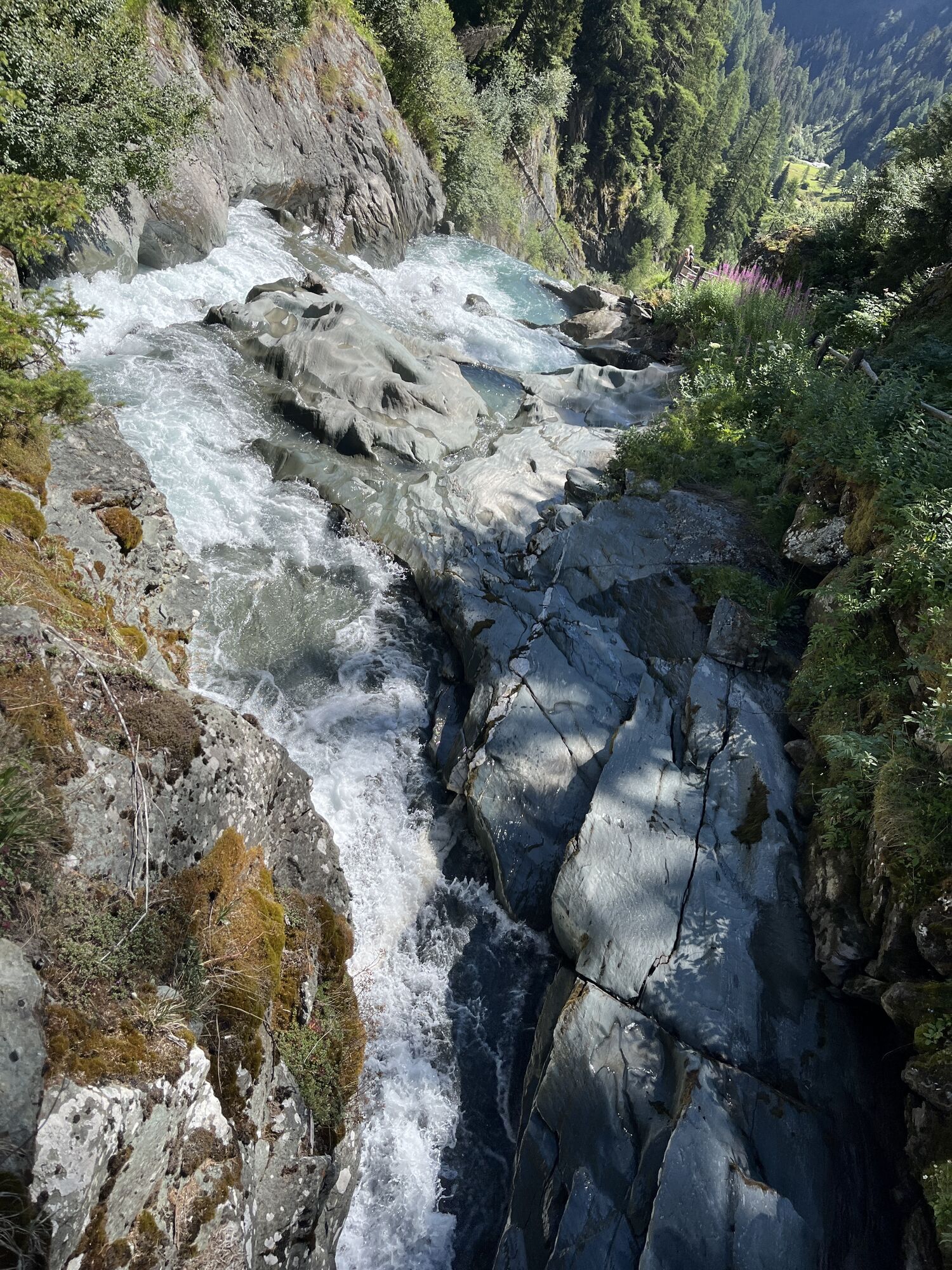
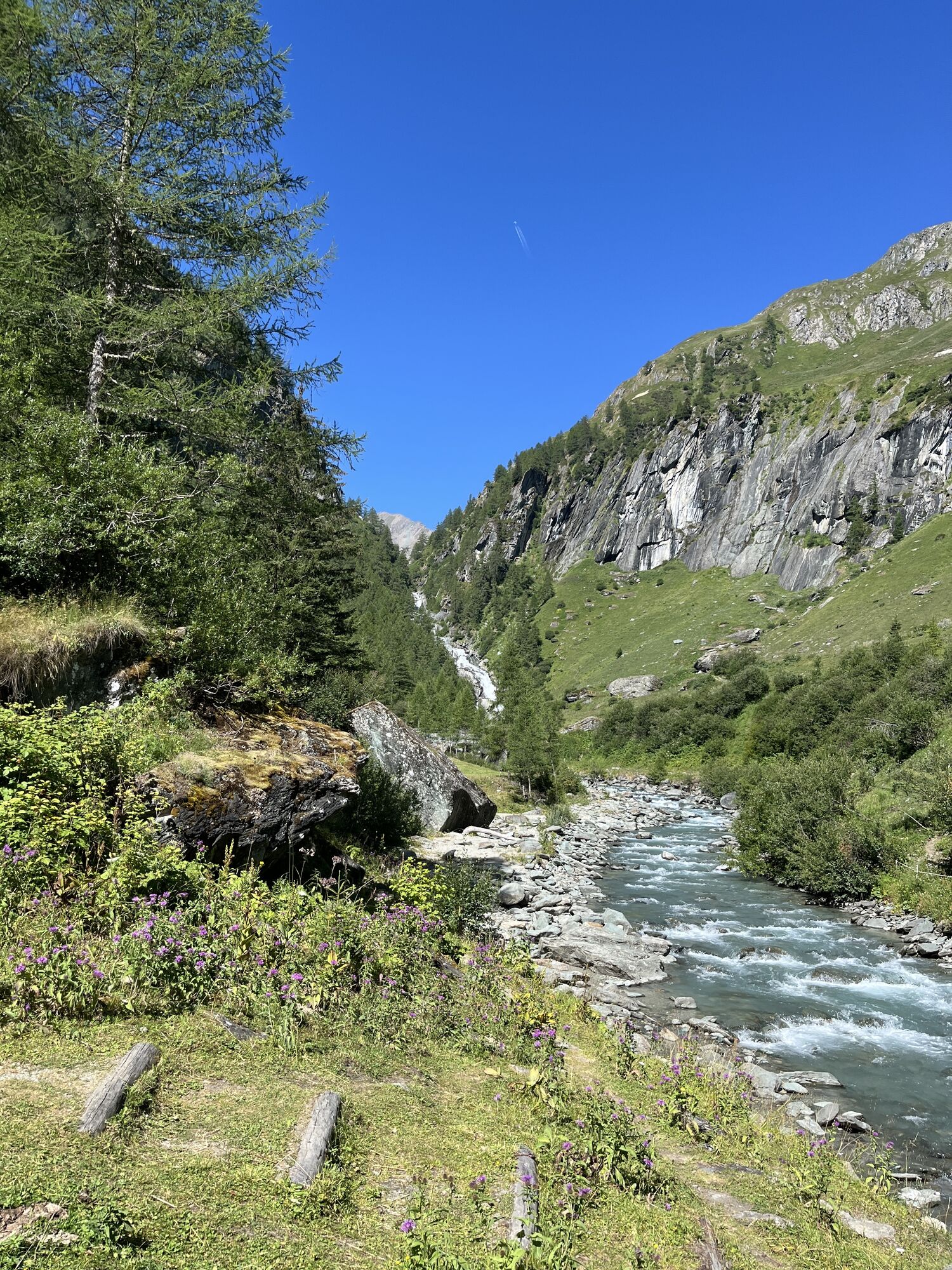
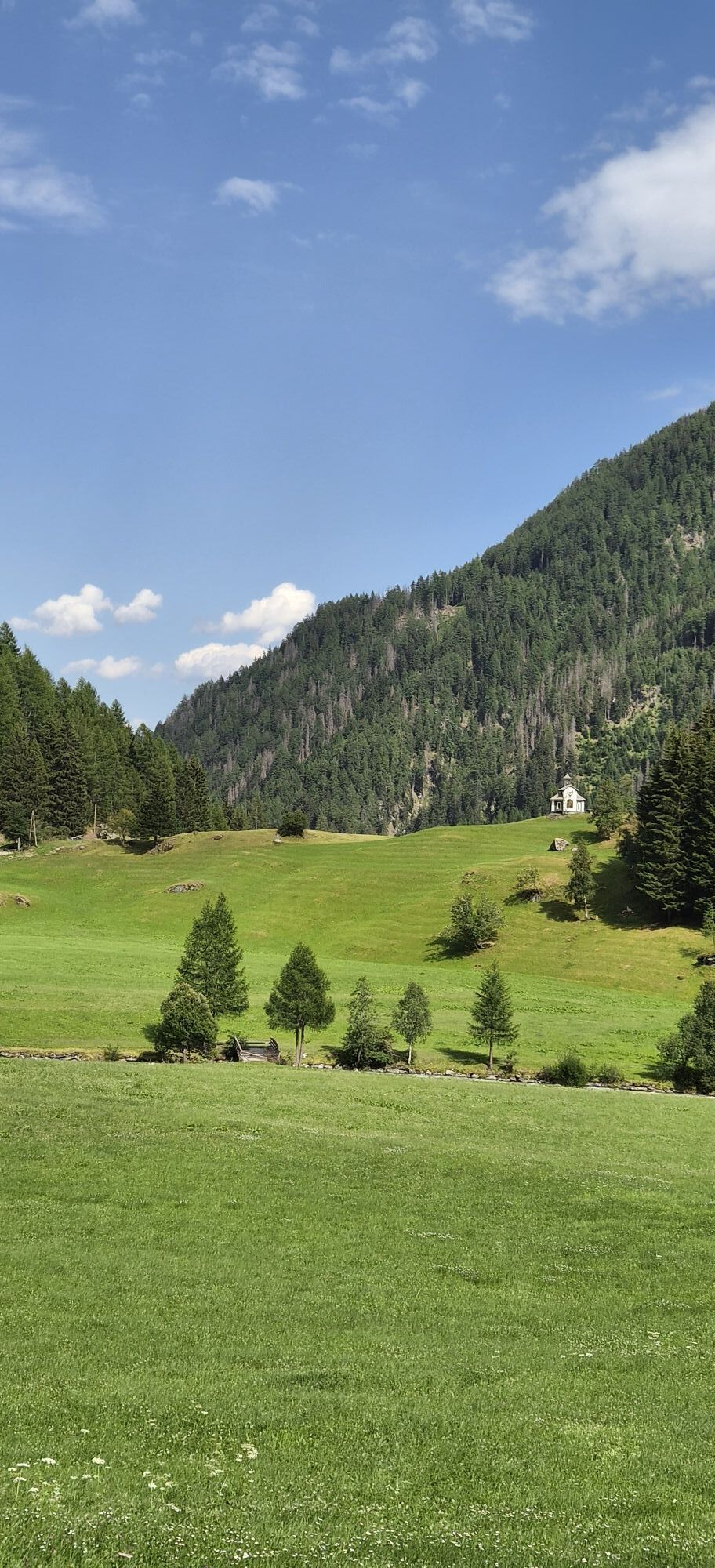
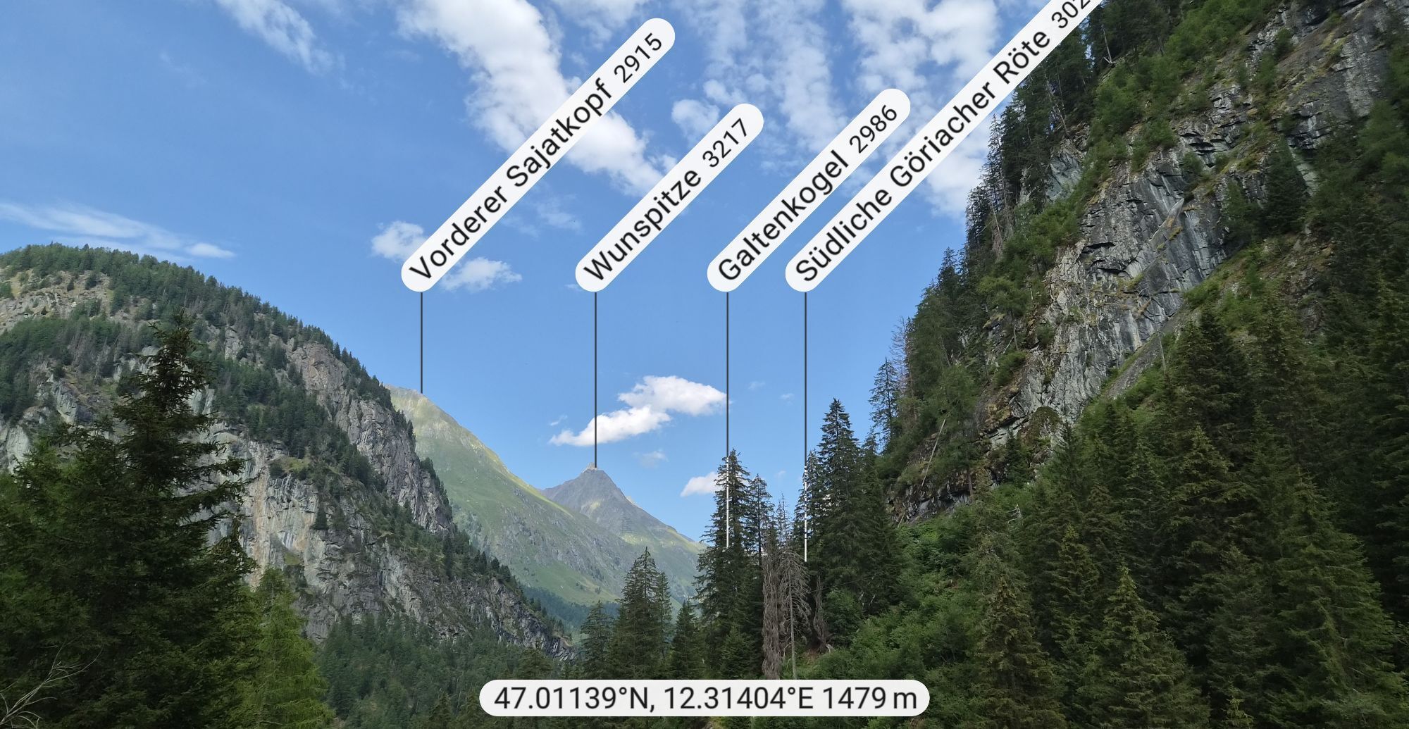
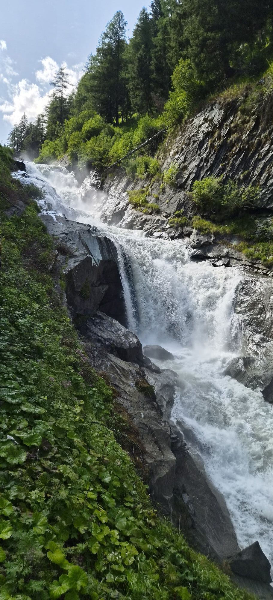
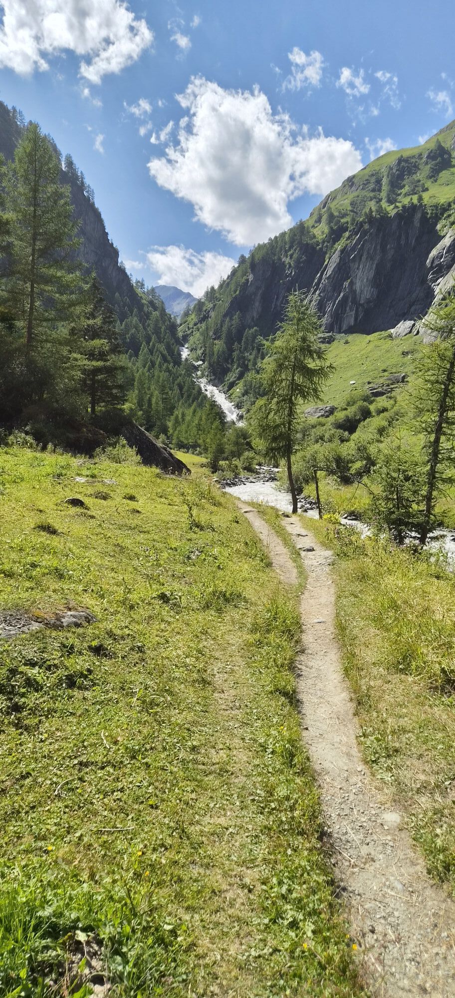
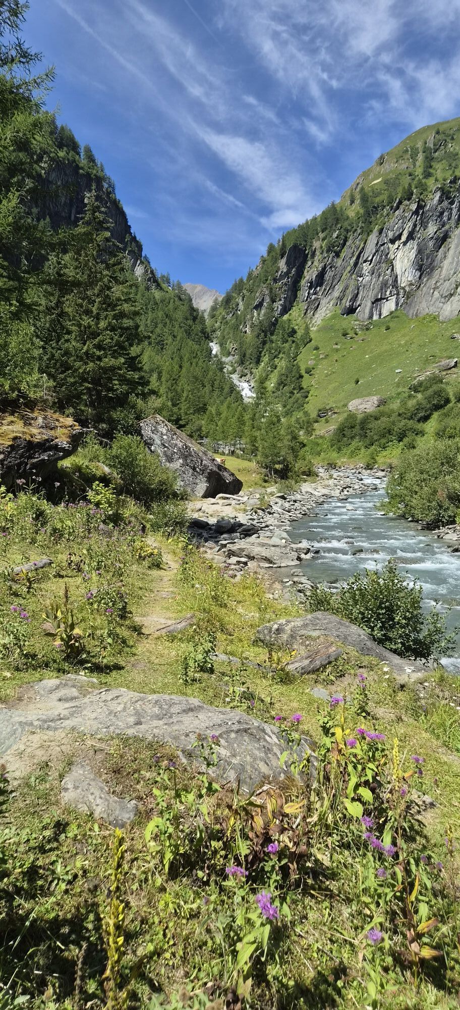
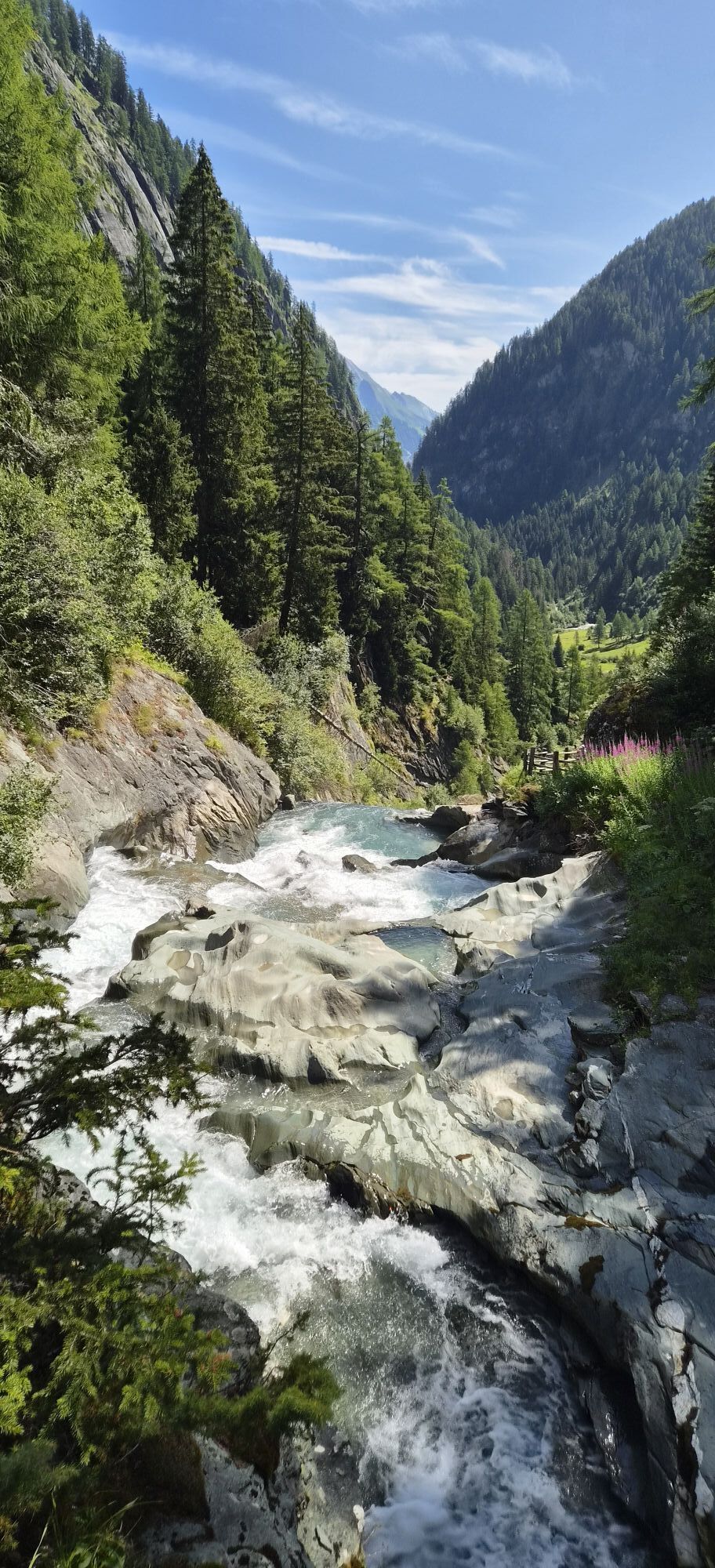
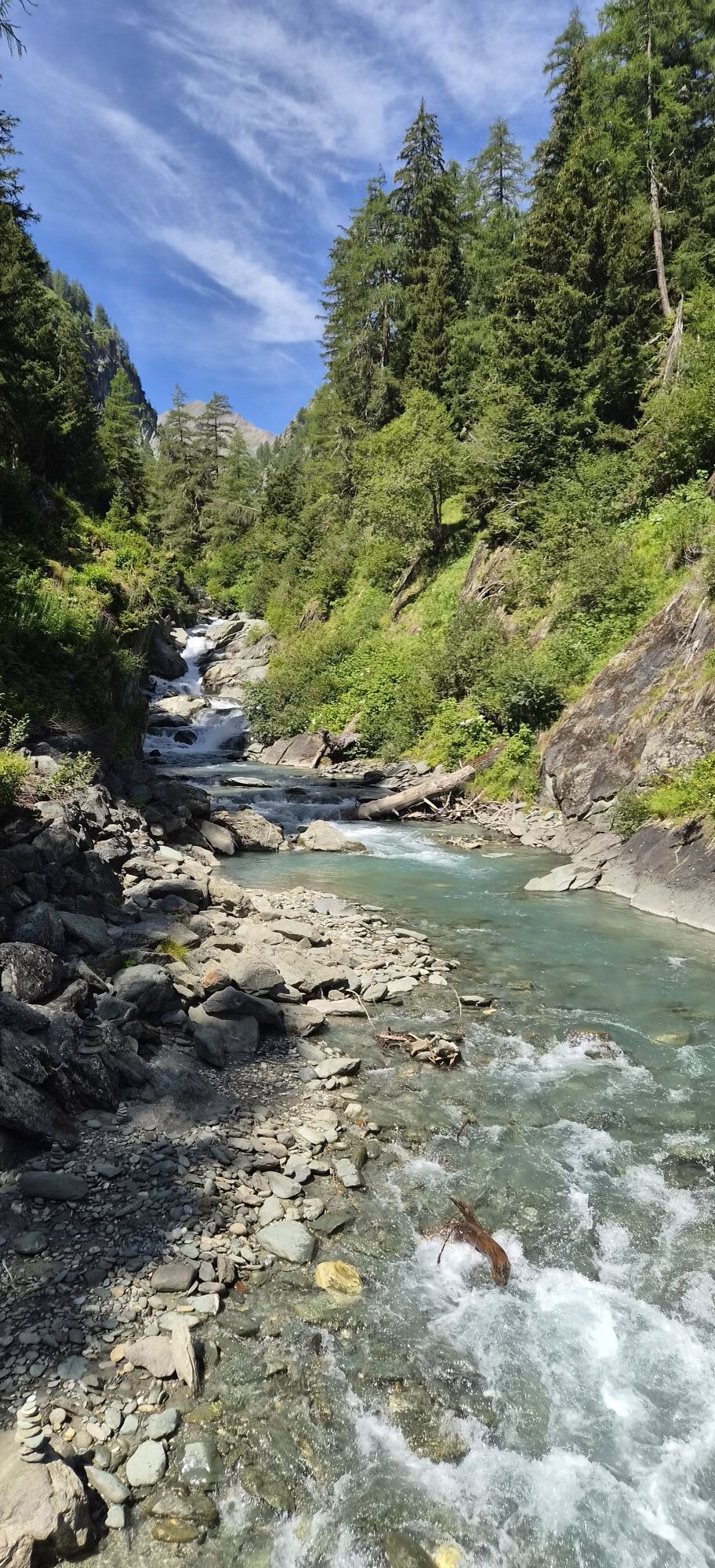
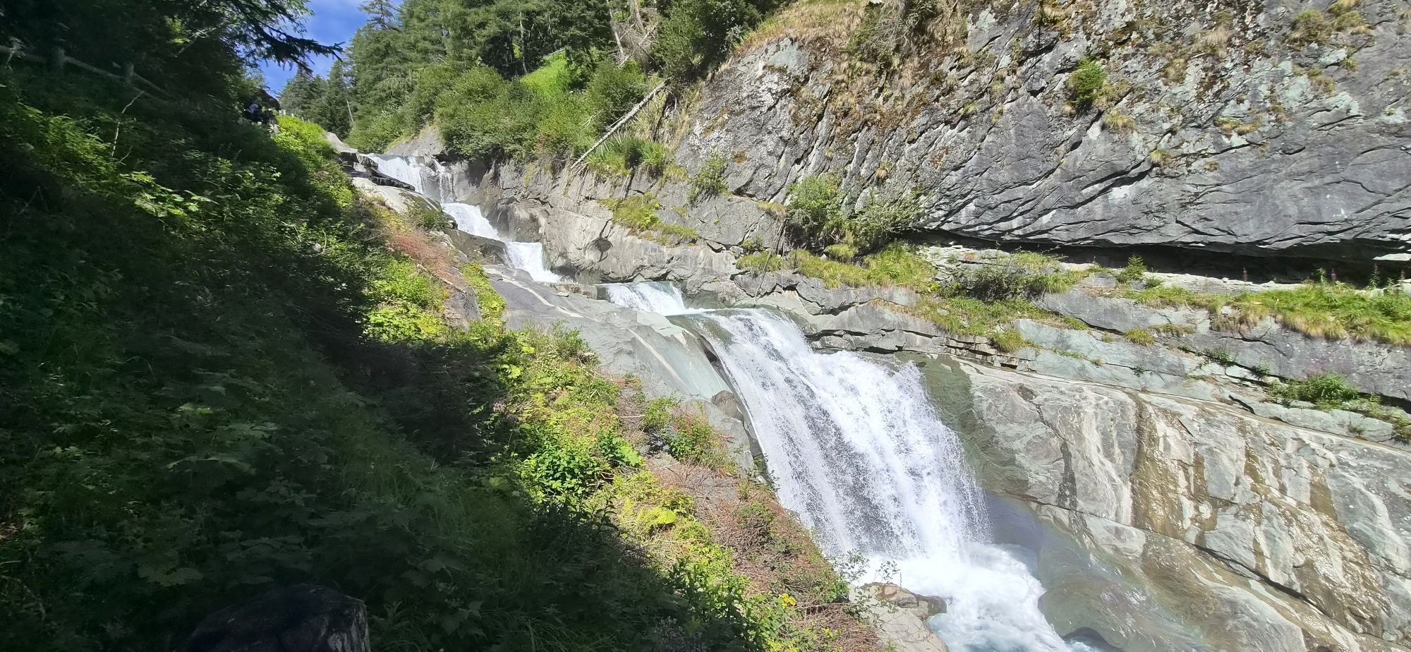
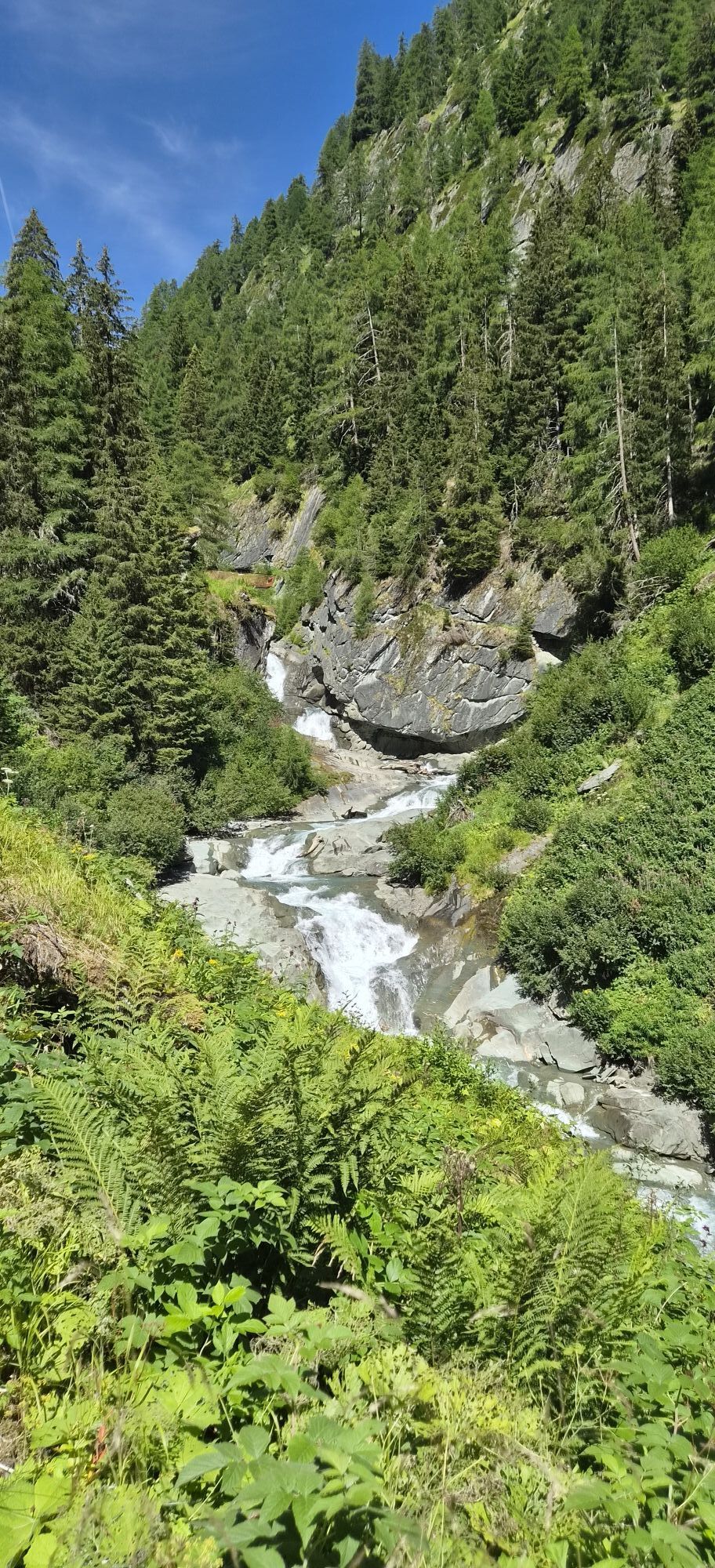
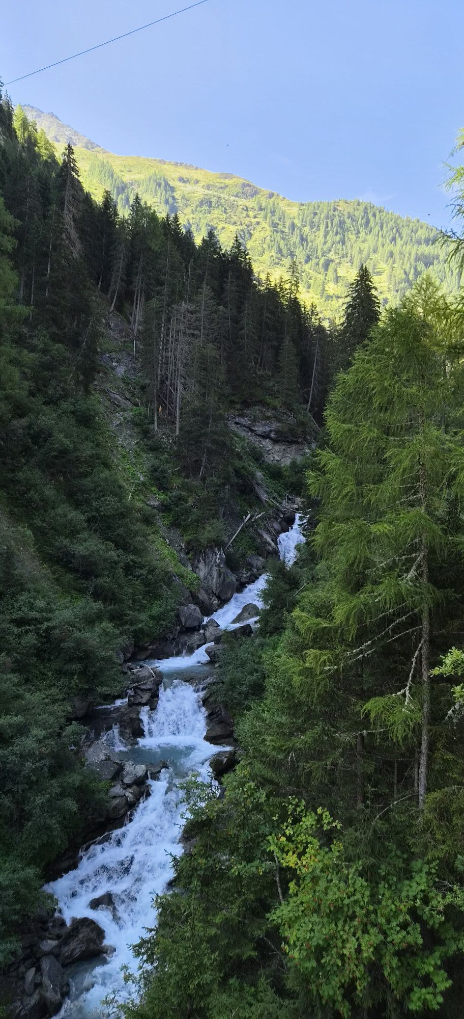
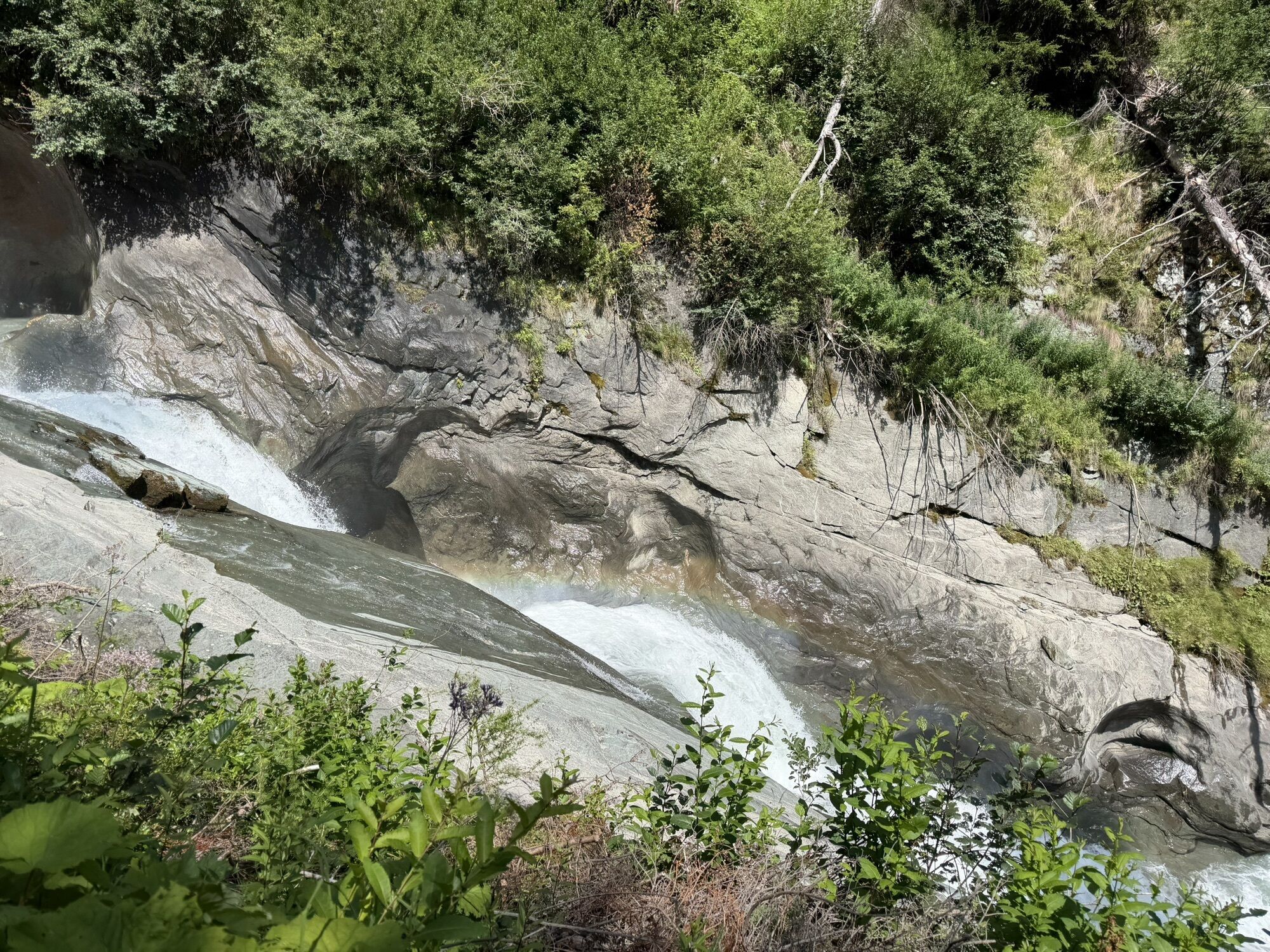
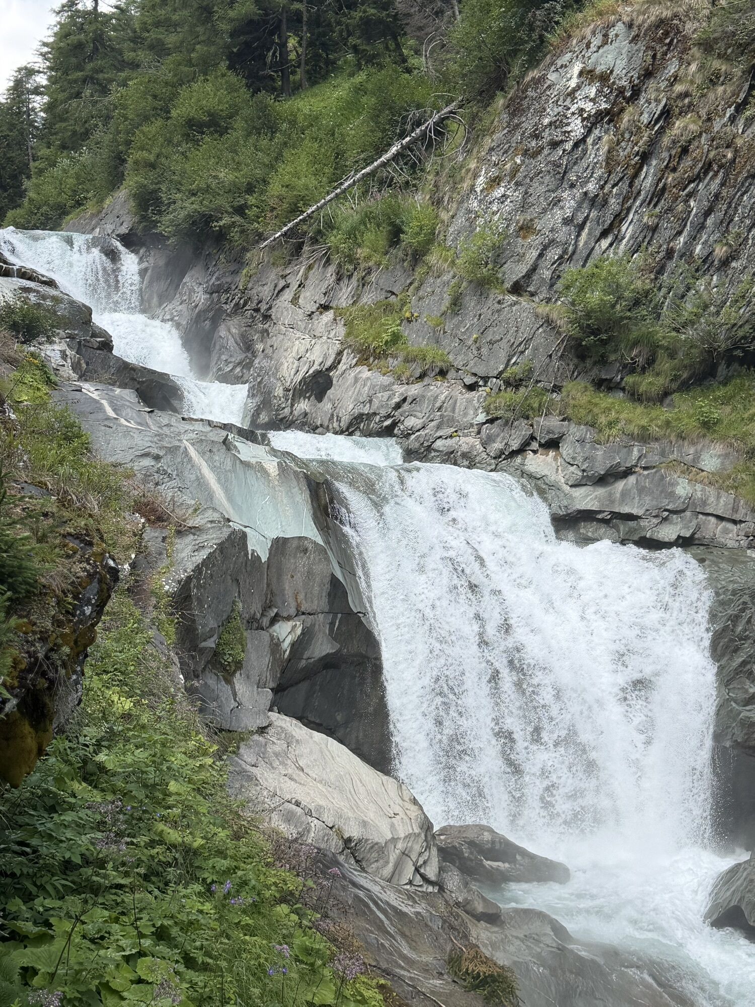
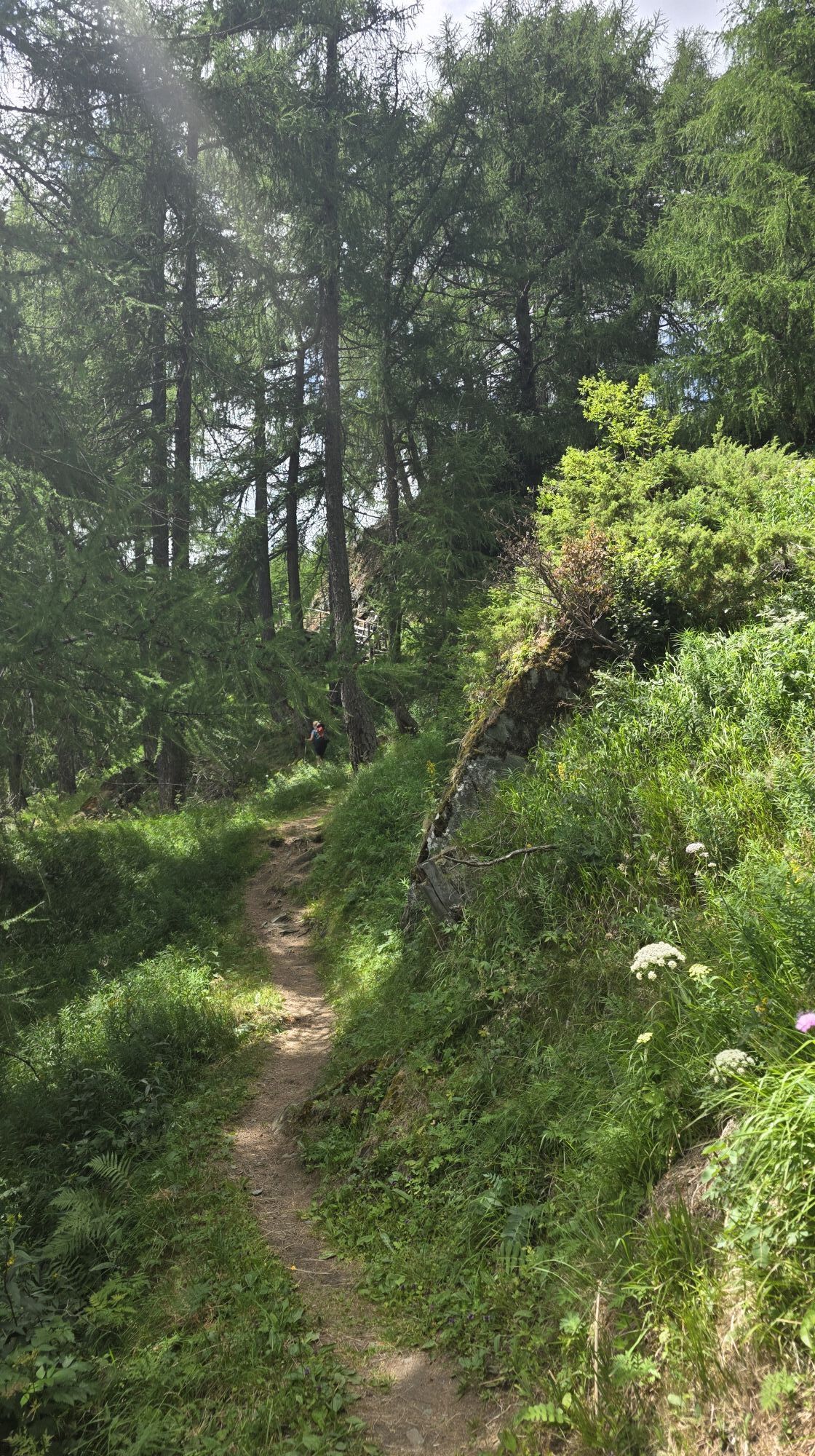
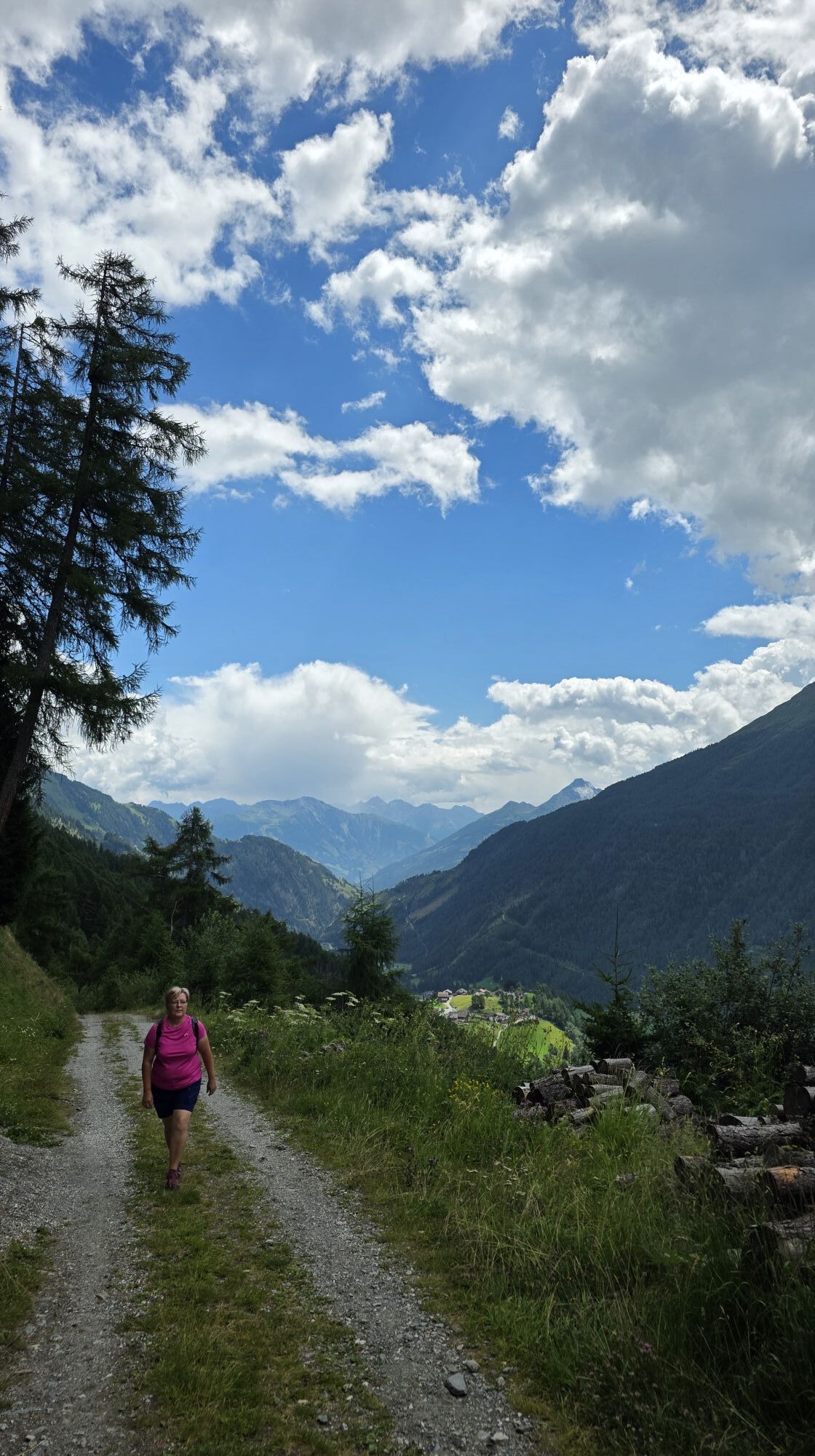
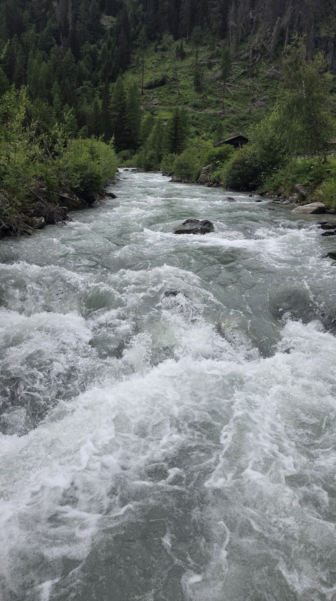
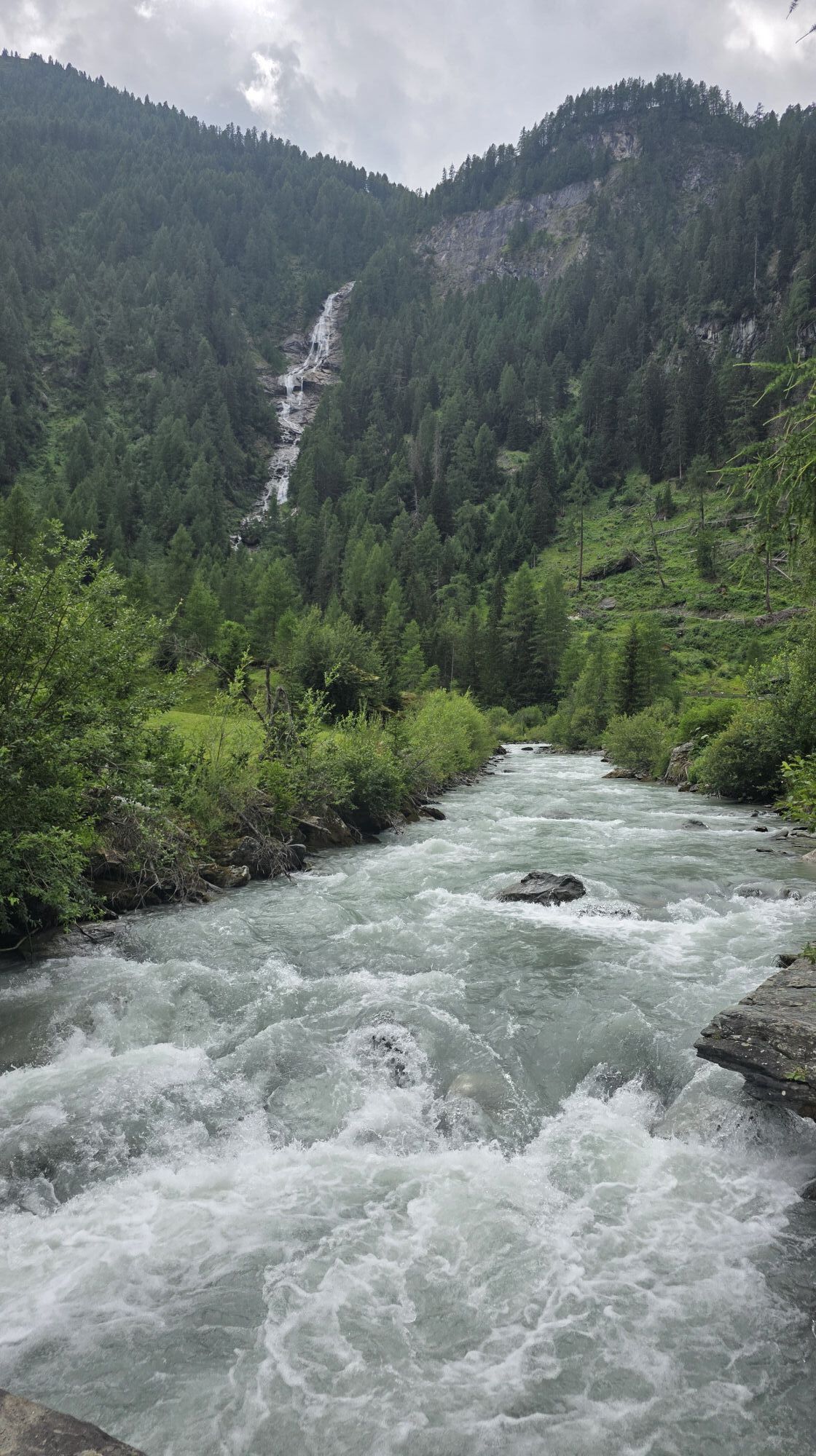
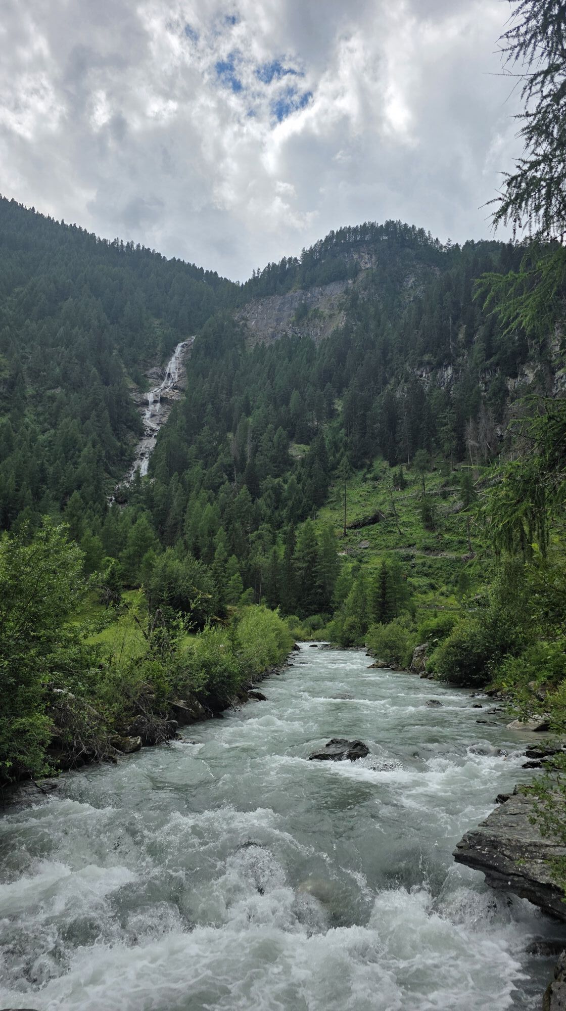
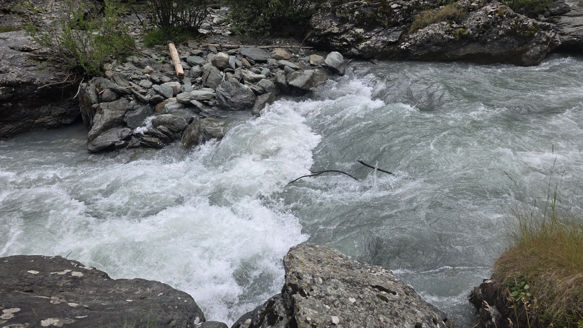
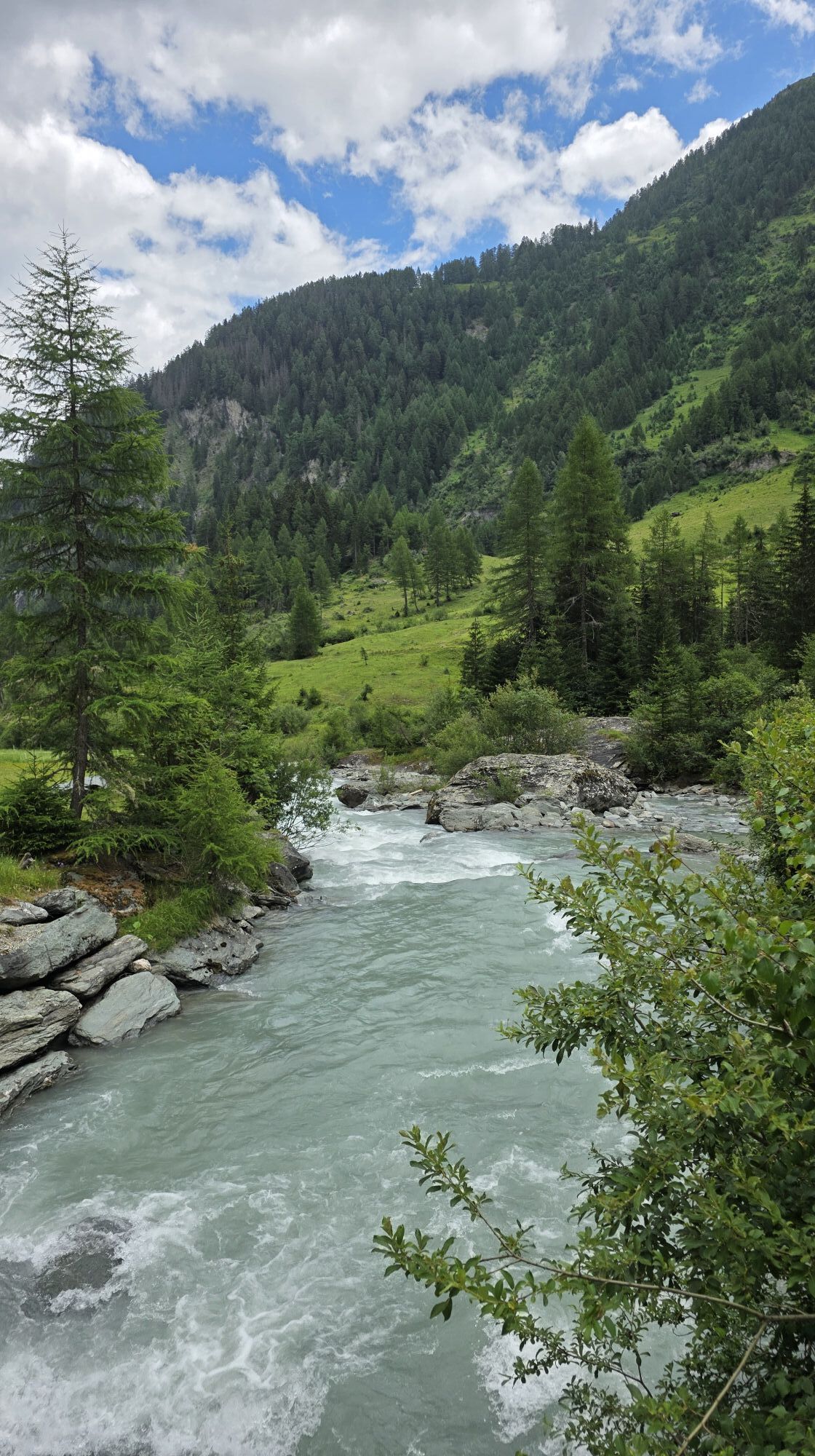
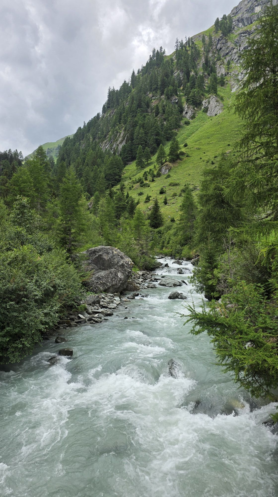
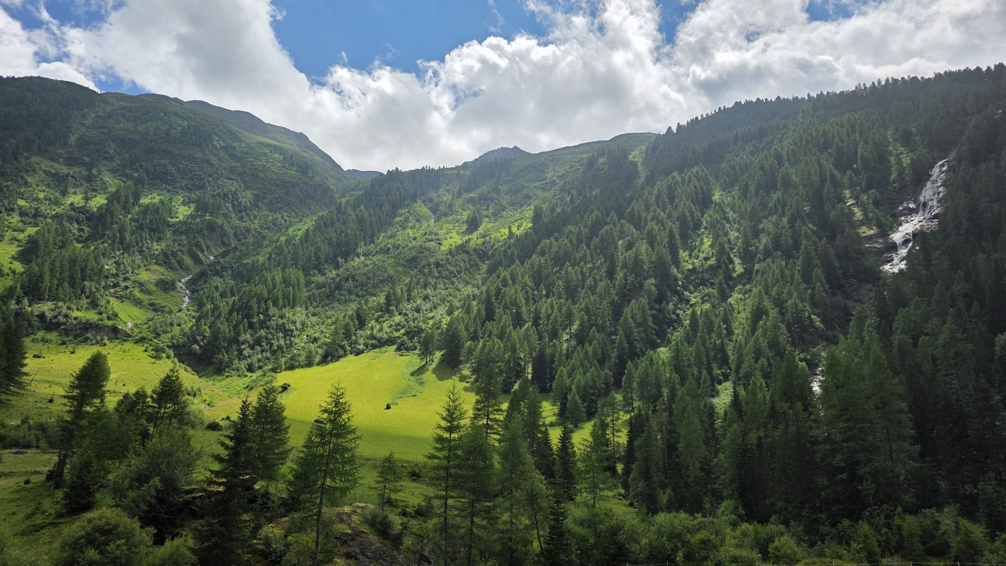
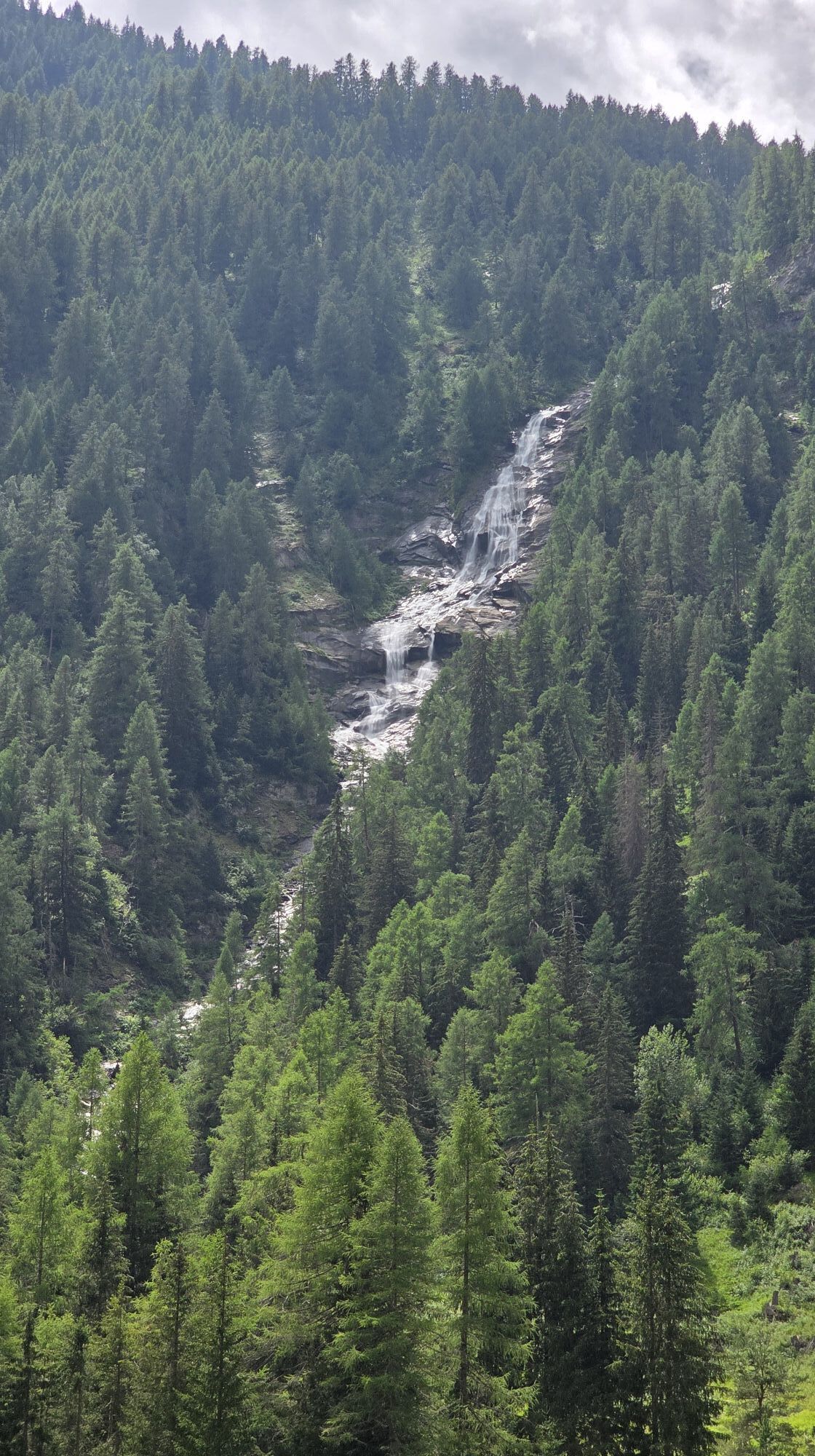
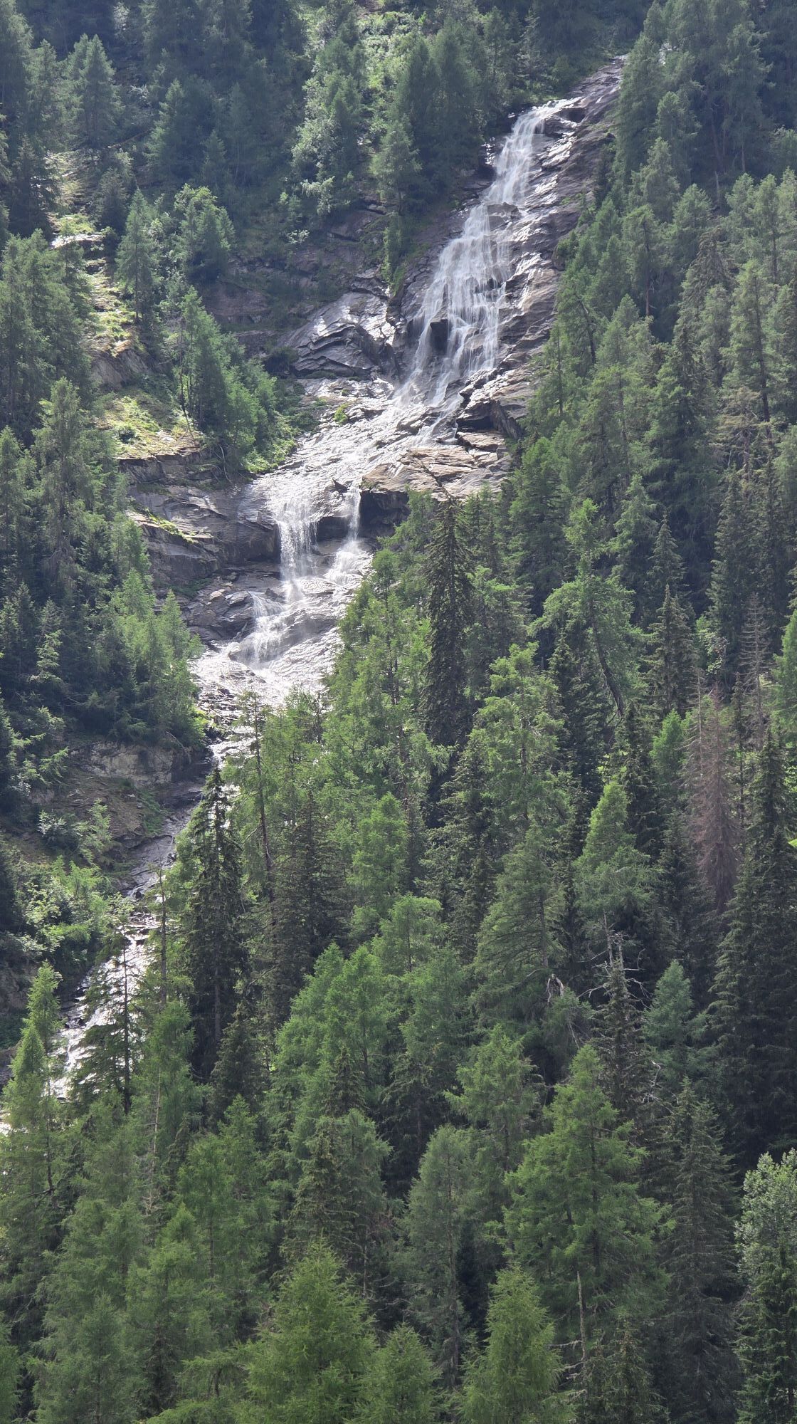
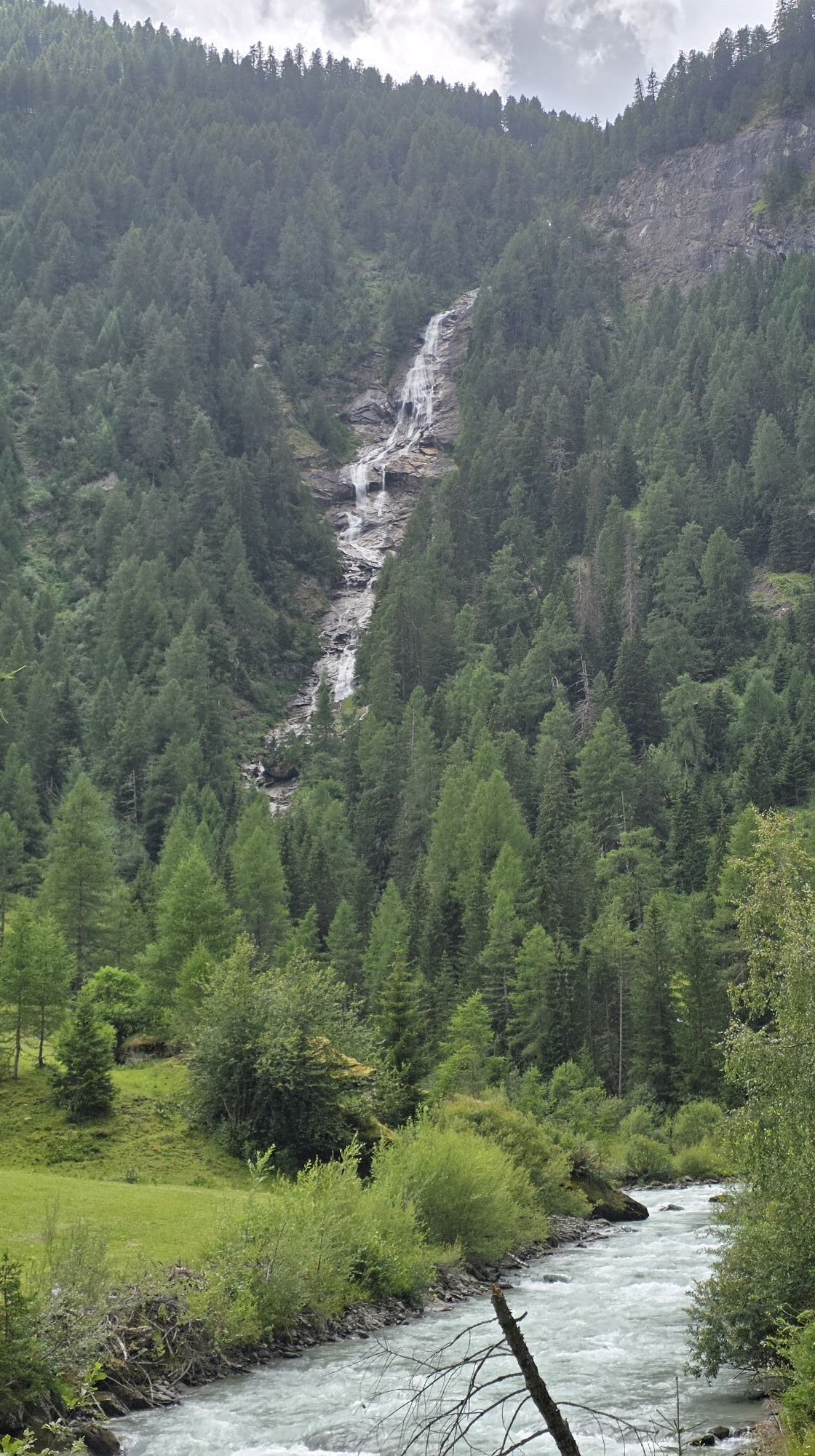
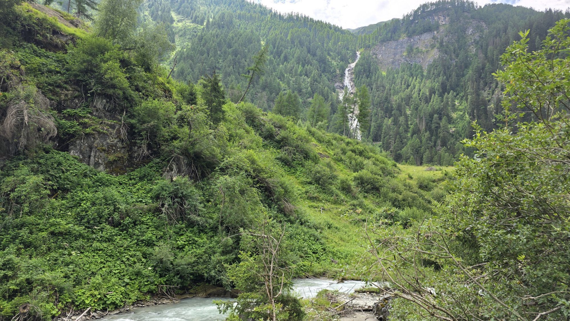
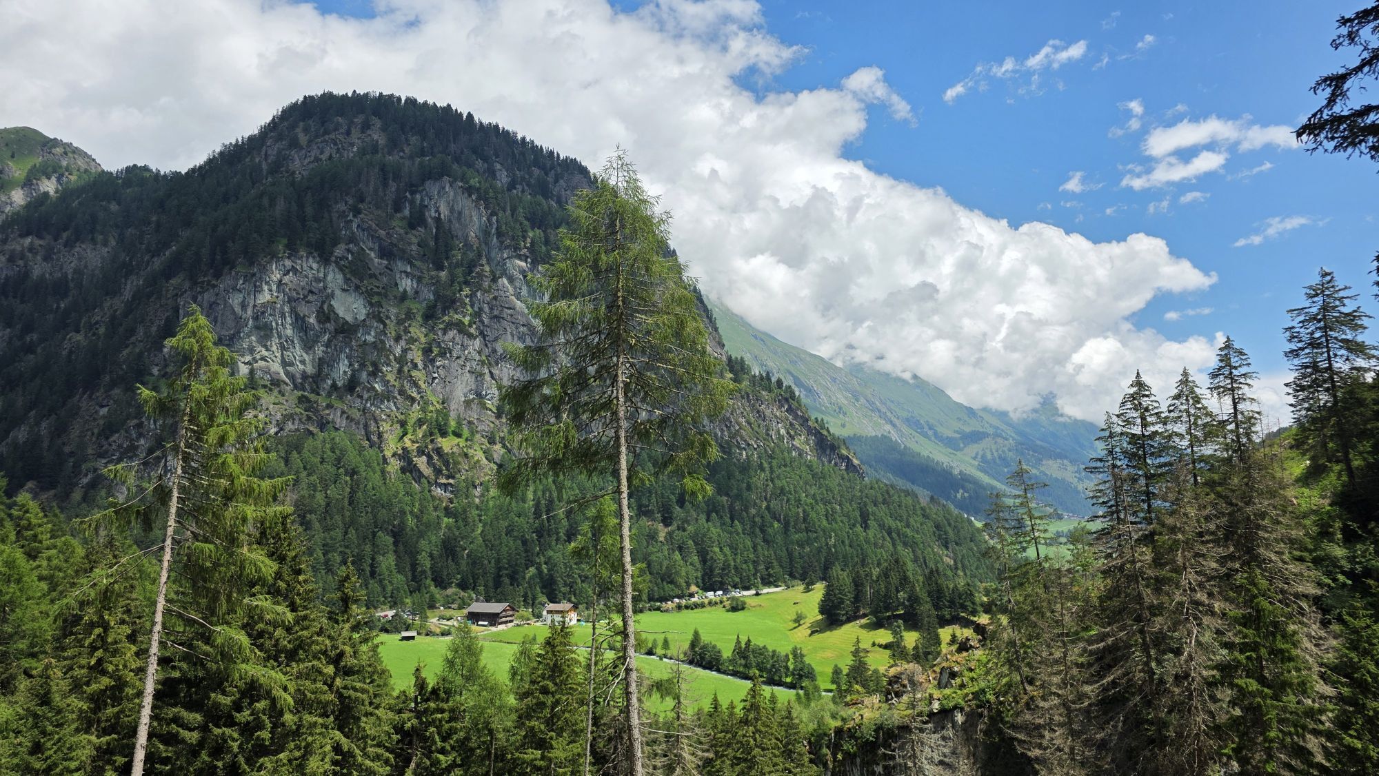
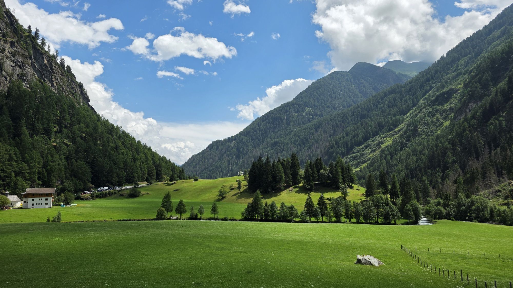
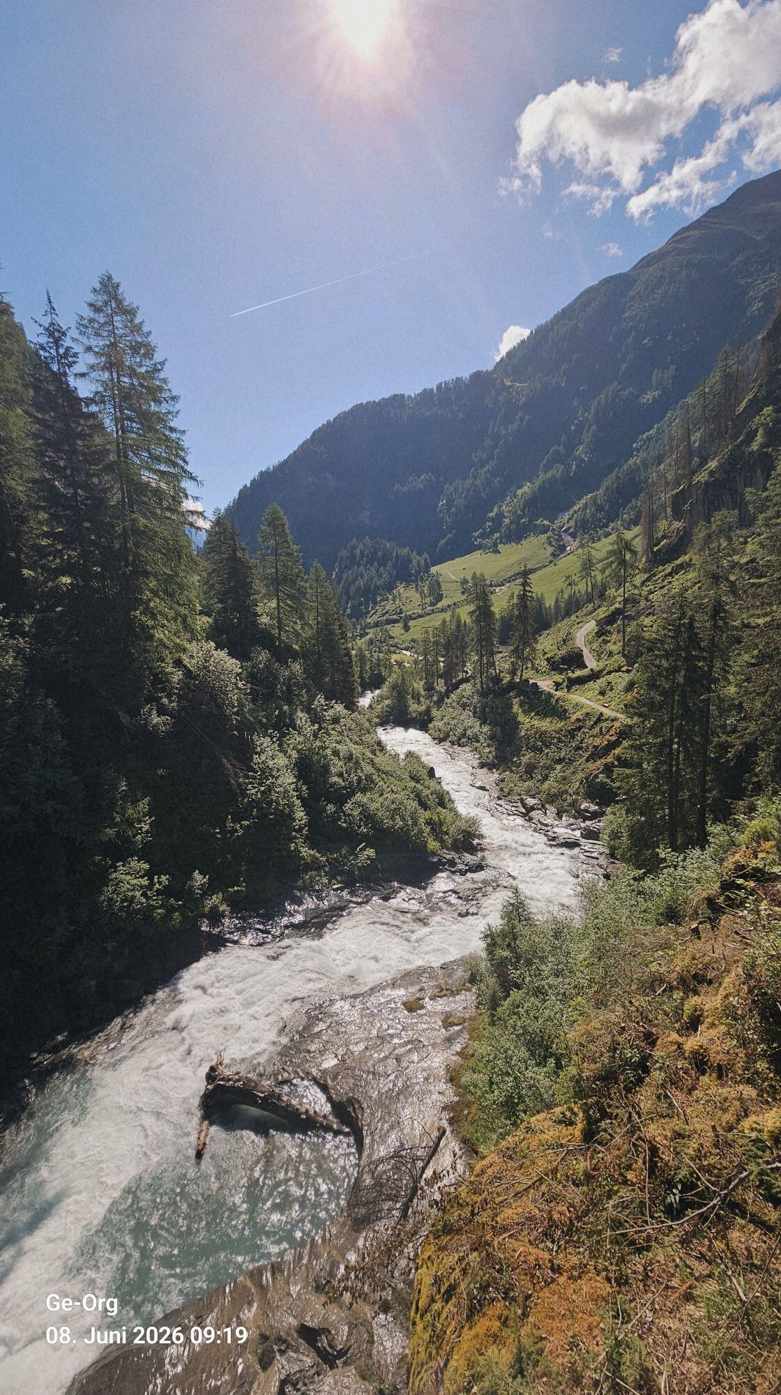
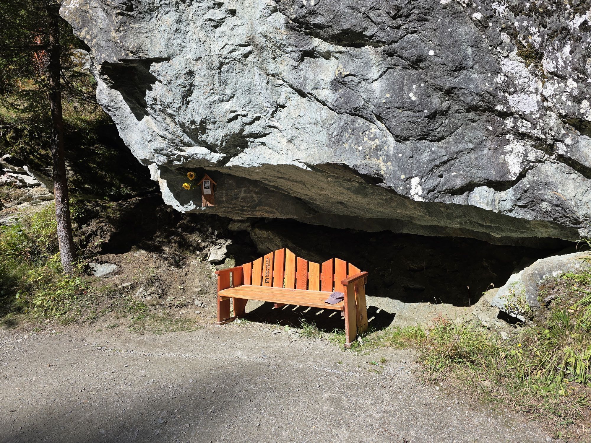
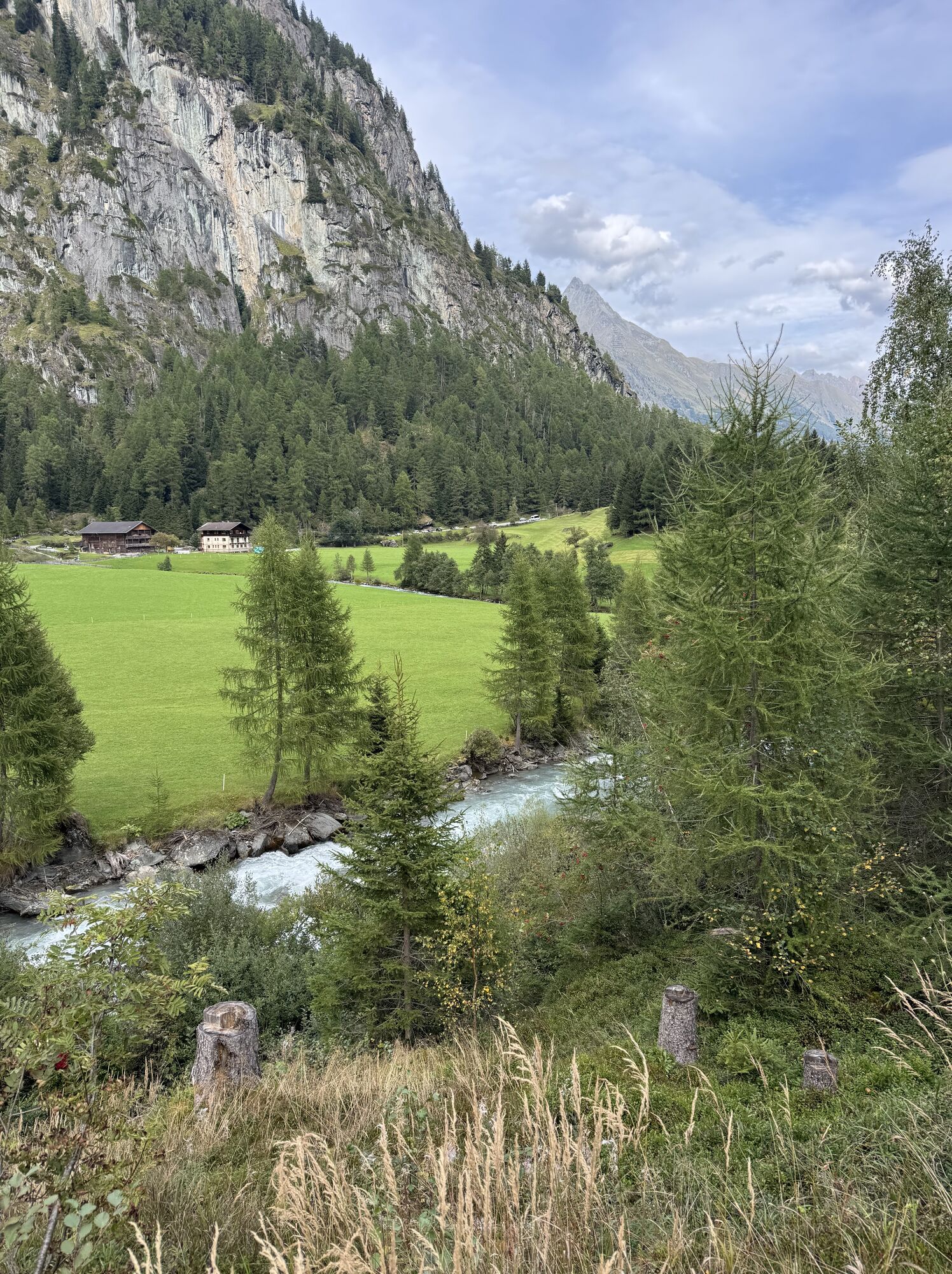
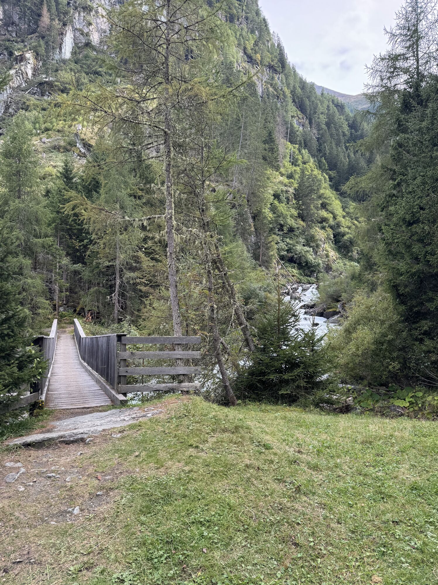
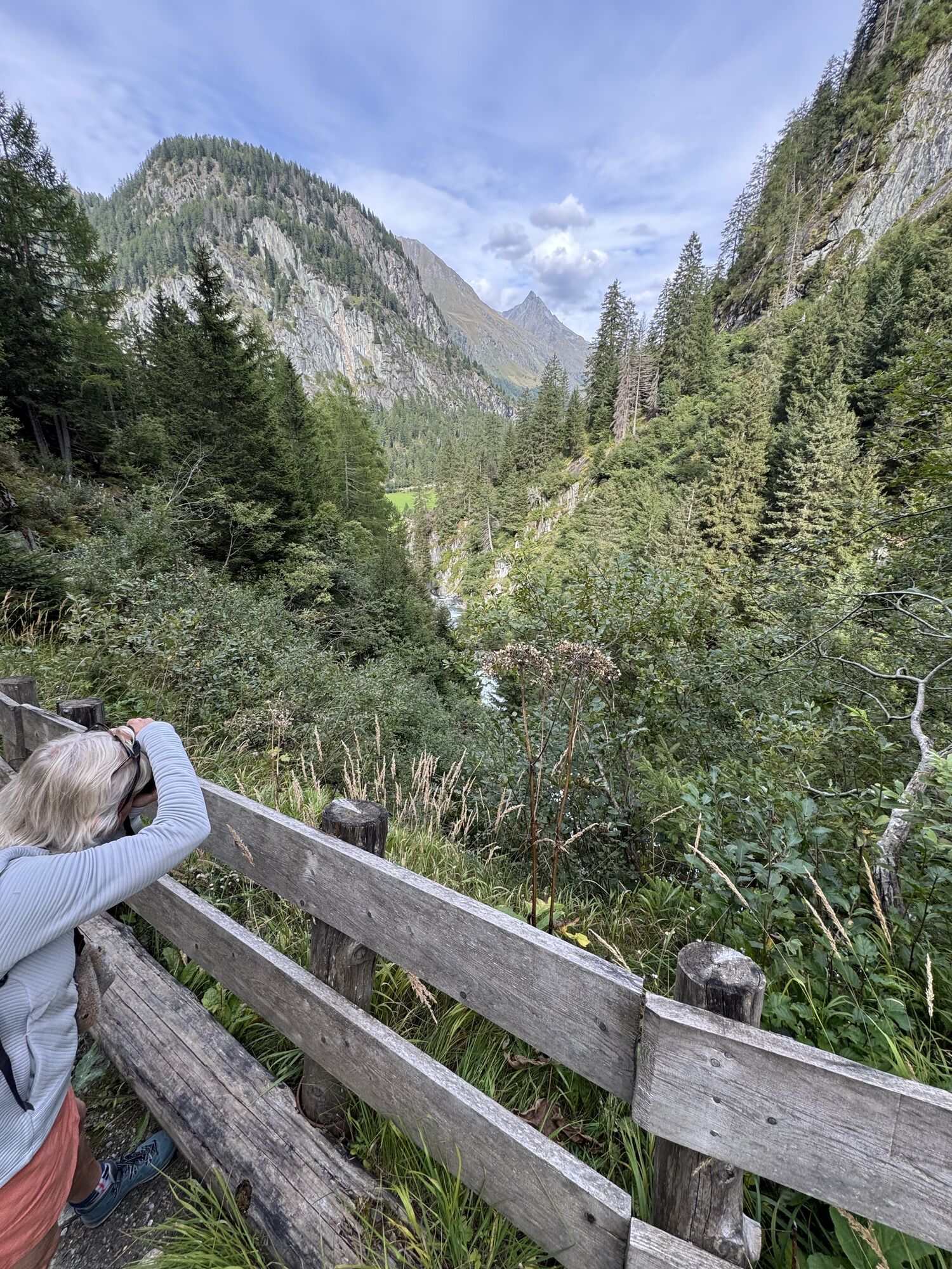

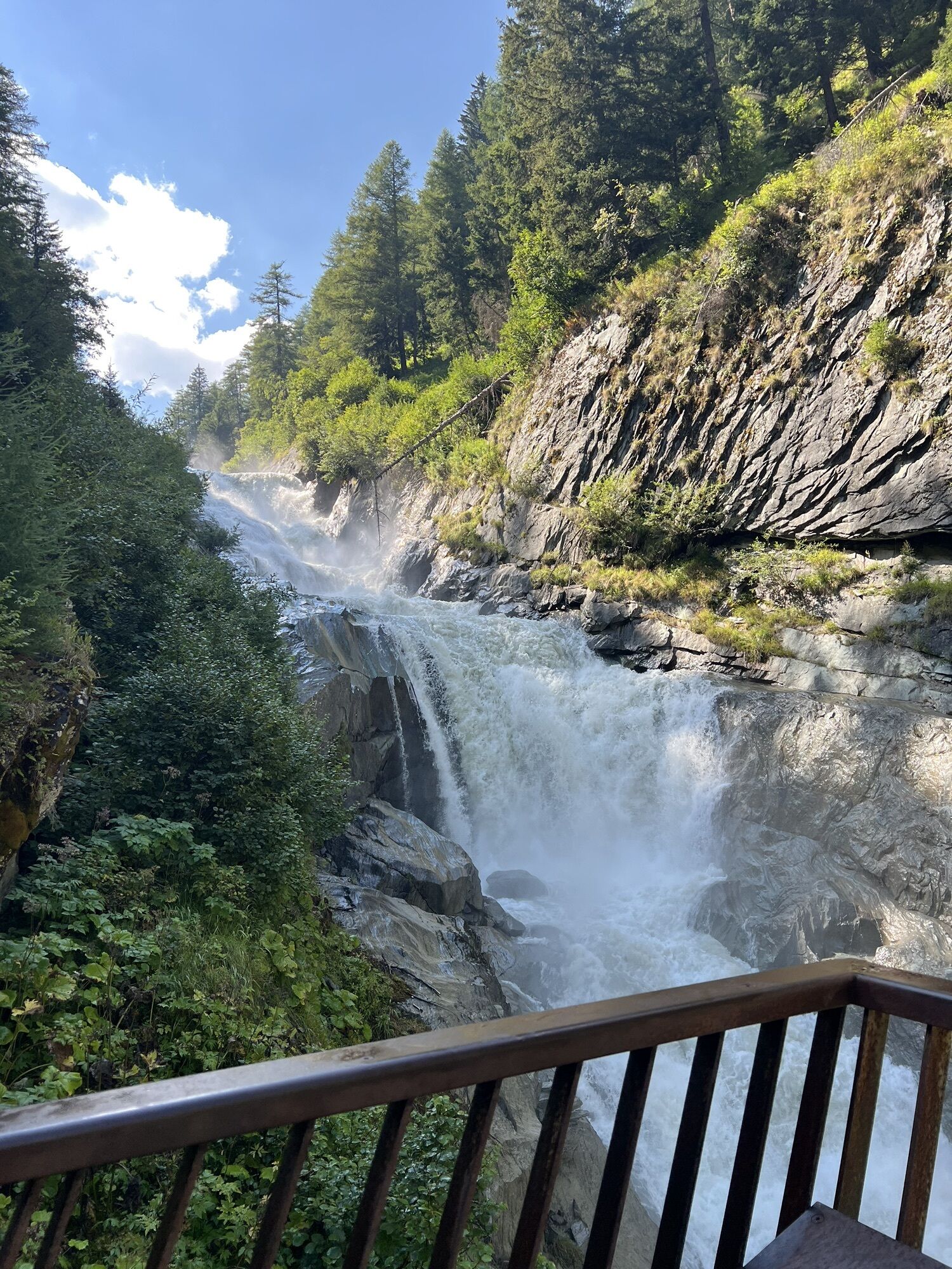
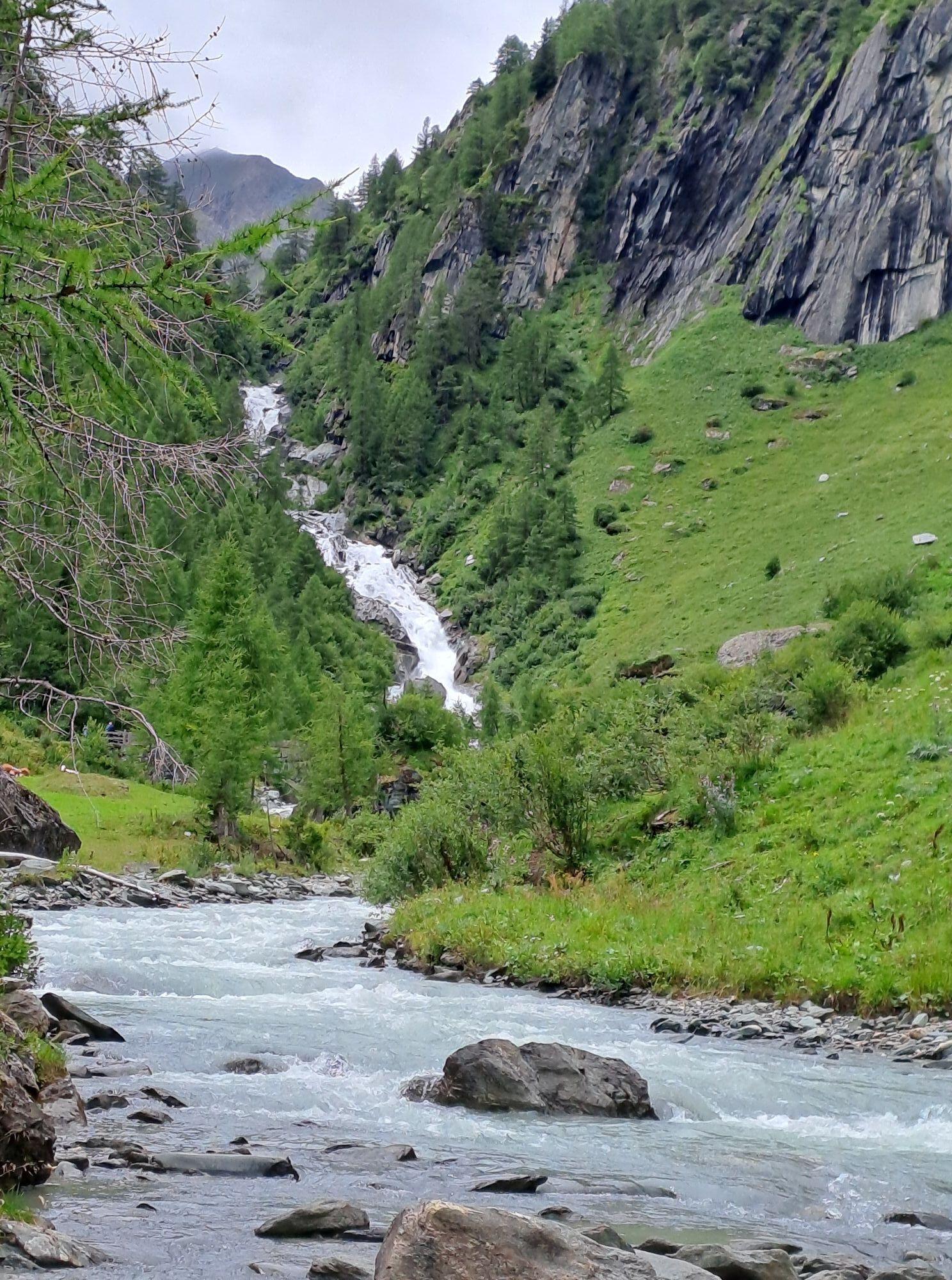
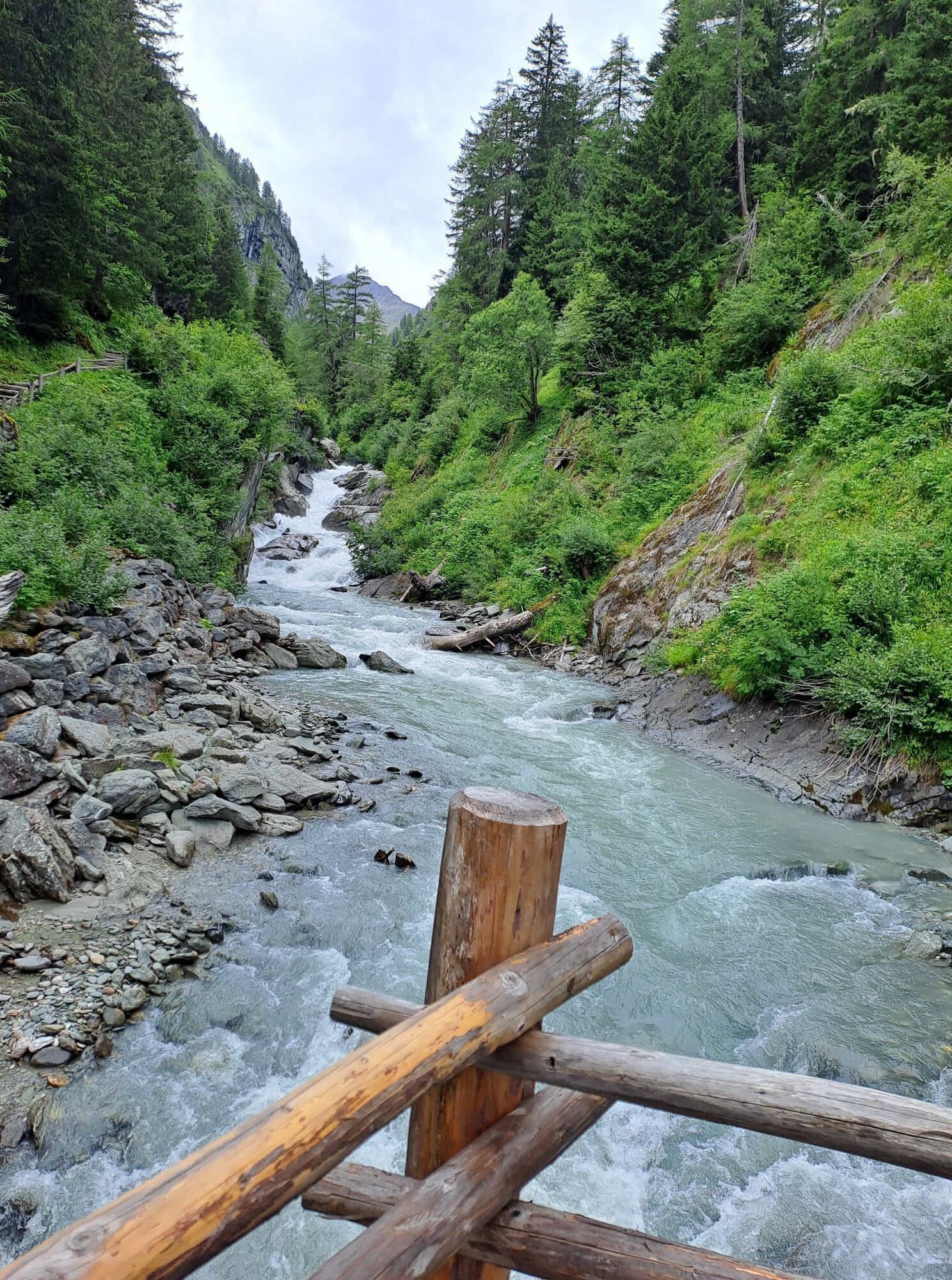
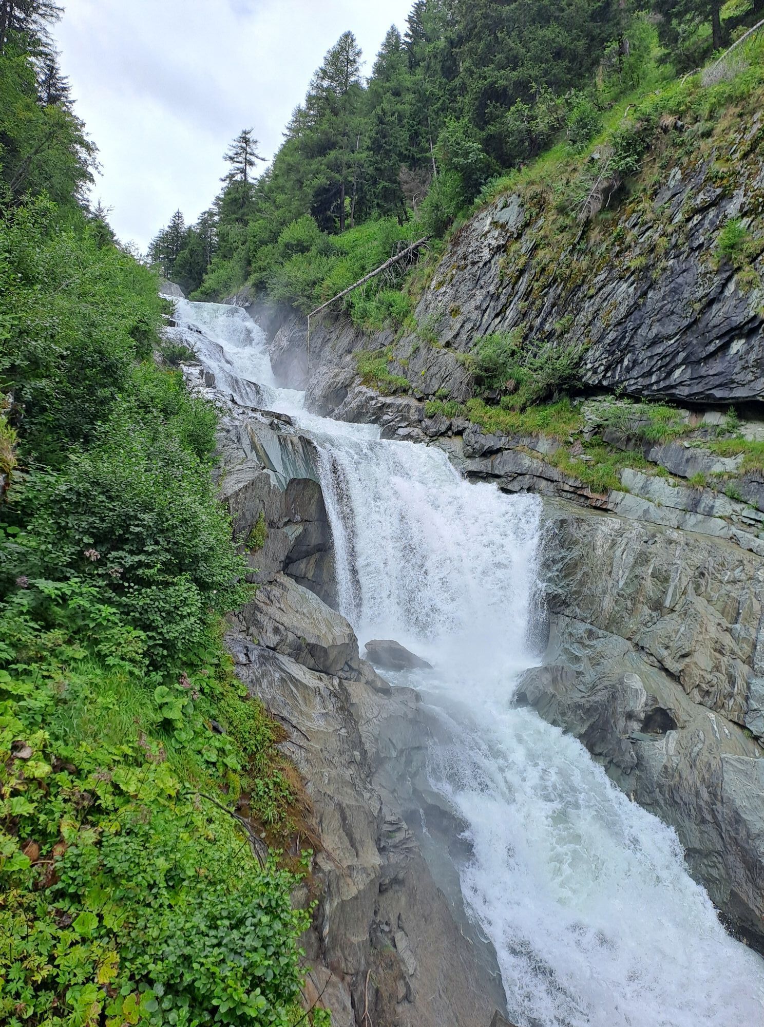
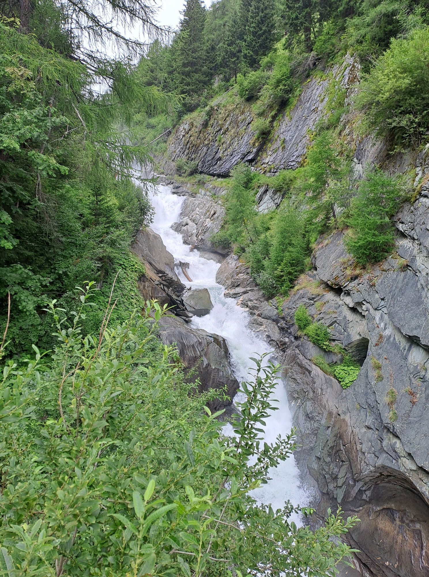
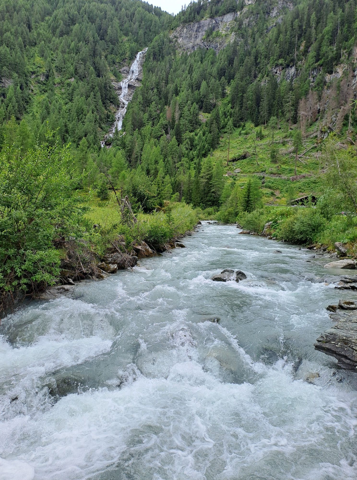
From the Stabanthütte, take the road past the Lumalm to Hinterbichl and Gasthof Islitzer. Cross the rushing Isel and continue to Ströden. A wide, mostly flat track takes you to the Islitzeralm, where you...
Description
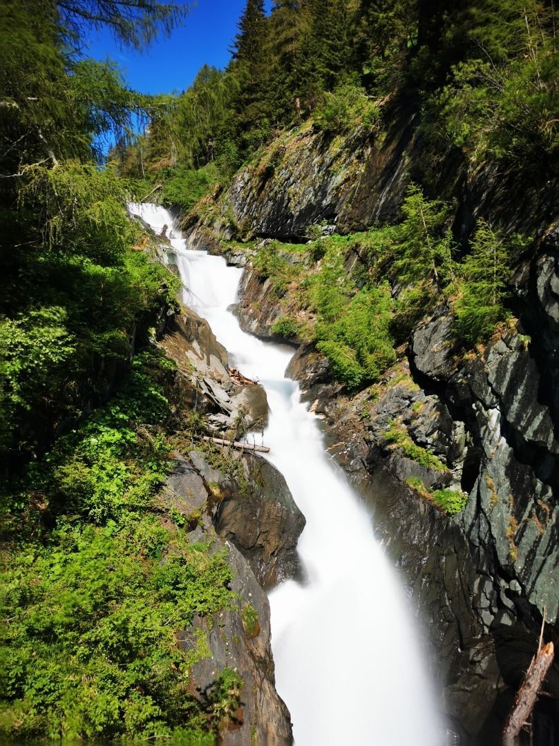
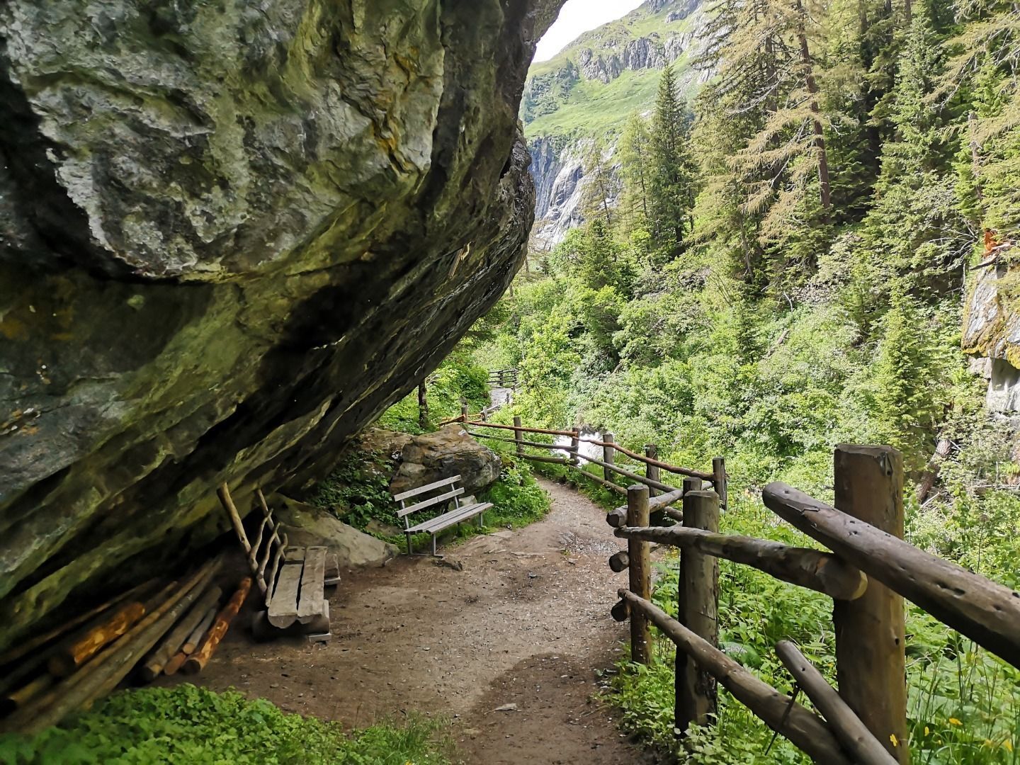
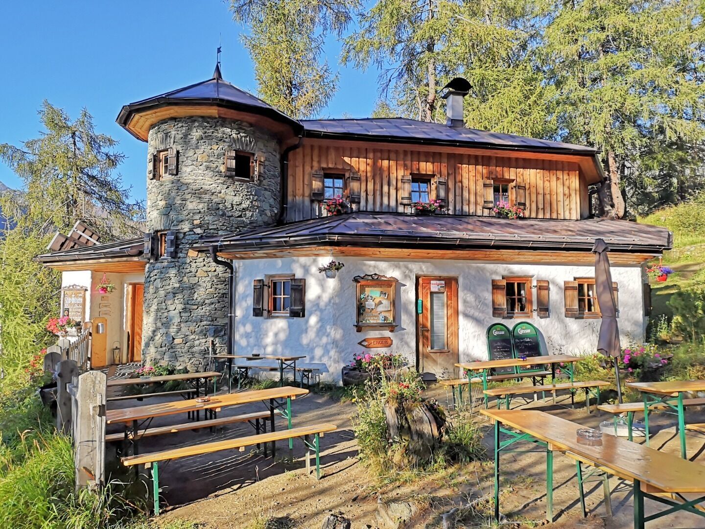
From the Stabanthütte, take the road past the Lumalm to Hinterbichl and Gasthof Islitzer. Cross the rushing Isel and continue to Ströden. A wide, mostly flat track takes you to the Islitzeralm, where you can stop for refreshments. The Islitzeralm is located at the foot of the Umbal Falls, the stage destination, where the water show trail takes you up close to the thundering waterfalls. A detour to the viewing platforms is an unforgettable experience.
Parcours
Stabanthütte
(1 775 m)
Refuge
0,0 km
Hinterbichl
(1 329 m)
Village
2,9 km
Aussichtskanzel Großbachfall
(1 614 m)
Point de vue
7,6 km
Umbalfälle
(1 547 m)
Chute d'eau
8,7 km
Großbachfall
(1 552 m)
Chute d'eau
8,8 km
Parcours
Trail Virgentaler Sonnseitenweg Stage 4
moyen
Chemin de Grande Randonnée
9,16
km
Stabanthütte
(1 775 m)
Refuge
0,0 km
Materialseilbahn Obermairhof
(1 333 m)
Station de télécabines
2,9 km
Gasthof Islitzer
(1 334 m)
Restaurant
2,9 km
Hinterbichl
(1 329 m)
Village
2,9 km
Islitzeralm
(1 502 m)
Aire de jeux
6,9 km
Aussichtskanzel Großbachfall
(1 614 m)
Point de vue
7,6 km
Umbalfälle
(1 547 m)
Chute d'eau
8,7 km
Großbachfall
(1 552 m)
Chute d'eau
8,8 km

Dernier suivi
il y a une semaine

Informations sur l'itinéraire
Transports en commun
Bus stop Prägraten a. G. Hinterbichl
or
Bus stop Prägraten a. G. Ströden
or
Bus stop Prägraten a. G. Ströden
Parking
Car park Hinterbichl
or
Car park Ströden
or
Car park Ströden
Évaluations
 Obtenez un aperçu Toujours en direct avec plus de 9.500 webcams. En tant qu'utilisateur Pro, vous pouvez désormais voir les webcams correspondantes à de nombreuses randonnées dans l'application de randonnées de bergfex. Vous pouvez ainsi voir directement les conditions actuelles.
Activités le long du parcours

Prägraten am Großvenediger, Tirol/Österreich
06.08.2026 – RandonnéePrägraten am Großvenediger, Tirol/Österreich
30.07.2026 – Randonnée en montagne
Prägraten am Großvenediger, Tirol/Österreich
21.09.2025 – Randonnée en montagne
Prägraten am Großvenediger, Tirol/Österreich
08.09.2025 – Randonnée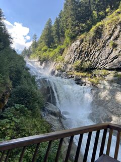
Prägraten am Großvenediger, Tirol/Österreich
11.08.2025 – Randonnée
Parcours populaires à proximité
- 4,8
NaturKraftWeg Umbalfälle
facileChemin thématique 5,99 km - 4,2
Gletscherlehrweg Innergschlöß
moyenRandonnée 9,36 km - 4,5
Circular hike Proßeggklamm
moyenRandonnée 8,41 km - 4,8
Circular hike suspension bridge Isel Canyon via "Hohe Bank"
moyenRandonnée 8,11 km - 4,8
Stoden - Clarahütte
moyenRandonnée 7,12 km - 4,9
Oberhausalm - Jagdhaushütte
facileRandonnée 14,0 km - 4,3
Seespitze
moyenRandonnée 13,7 km - 4,9
Erlsbach Almenrunde zum Klammljoch
moyenVTT 35,3 km - 4,8
Wiesbauerspitze 2.767 m
moyenRandonnée 9,66 km - 3,6
Krimmler Tauernhaus - Refuge Warnsdorfer - Gamsspitzl
difficileRandonnée 10,5 km
Randonnée et suivi

Plus de 550.000 propositions de circuits, des cartes détaillées et un planificateur d'itinéraire intuitif font de cette application un must pour tous les passionnés de nature.

Ne manquez pas les offres et l'inspiration pour vos prochaines vacances
S'inscrire à la newsletter
Erreur
Une erreur s'est produite. Veuillez réessayer.Merci pour votre inscription
Votre adresse électronique a été ajouté à la liste de diffusion.
Parcours en Europe
Autriche Suisse Allemagne Italie Slovénie France Pays-Bas Belgique Pologne Liechtenstein République tchèque Slovaquie Espagne Croatie Bosnie-Herzégovine Luxembourg Andorre Portugal Islande Royaume-Uni Irlande Grèce Albanie Macédoine du Nord Malte Norvège Monténégro Moldavie Kosovo Hongrie Saint-Marin Roumanie Estonie Lettonie Bélarus Chypre Lituanie Serbie Bulgarie Monaco Danemark Suède Finlande





