







Totenweg
Niveau de difficulté: T1
From the Lauscha Huttenplatz, the historic path leads over steep trails to the mountain village Steinheid. For a long time, the Lauscha residents had to walk over the highest slate mountain peaks to their...
From the Lauscha Huttenplatz, the historic path leads over steep trails to the mountain village Steinheid. For a long time, the Lauscha residents had to walk over the highest slate mountain peaks to their church. Whether they wanted to marry, were baptized, or died – no path led past Steinheid until a branch church was built in their village between 1730-32. However, people did not go to the Liebfrauenkirche built first in 1789/1835 but to the old church at the marketplace. The cemetery was also located there at that time. A parish was already established in Steinheid in 1528. In 1530, it was referred to as the Free Mining Town of Steinheid after the Wettin margrave Friedrich the Severe had already certified mining freedom for the "Goldbergwerk an der steinernen Heide" in 1362. Those who walked this narrow path through the mountains can well imagine that many coffins were temporarily stored in Lauscha before favorable weather allowed transport and burial in consecrated ground.

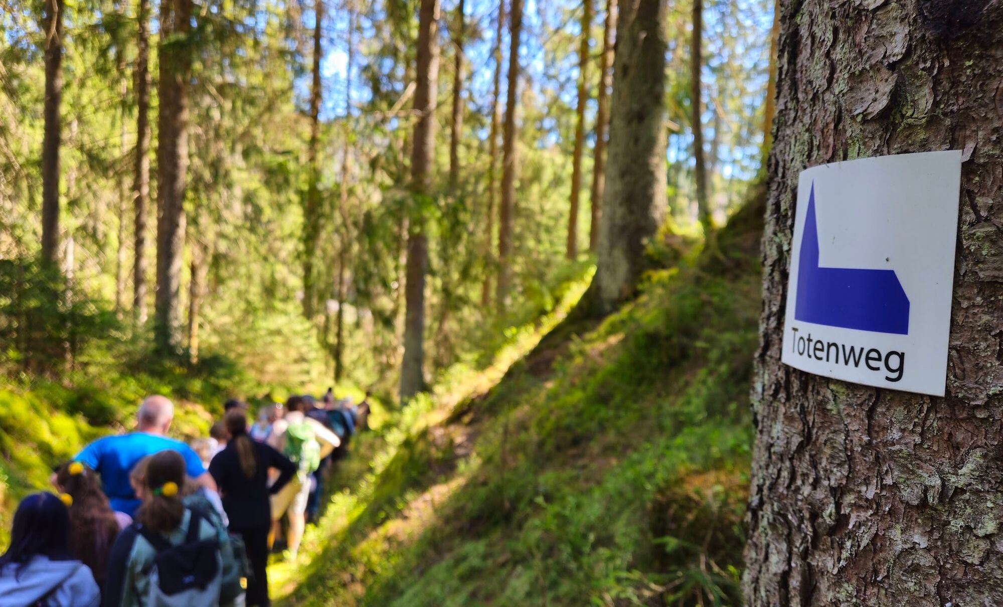
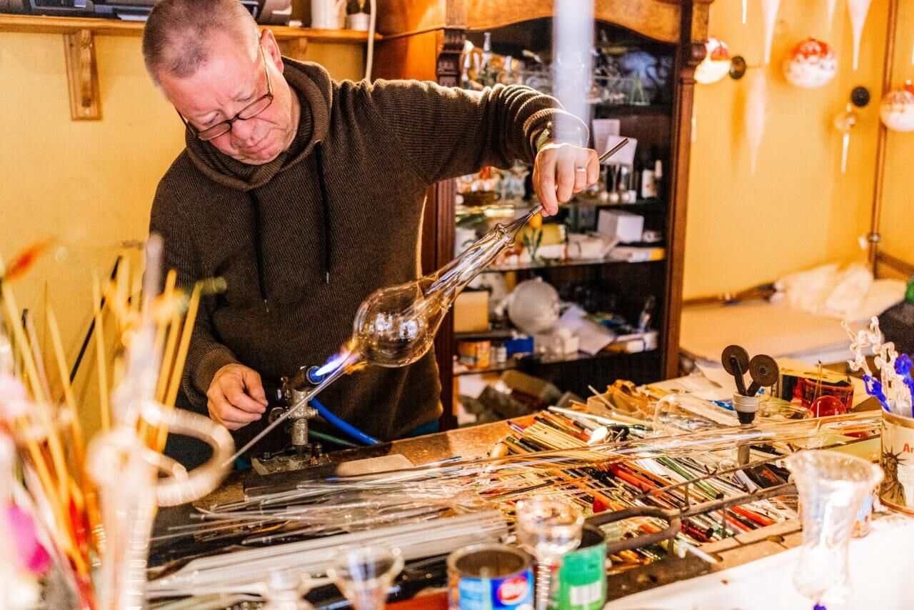
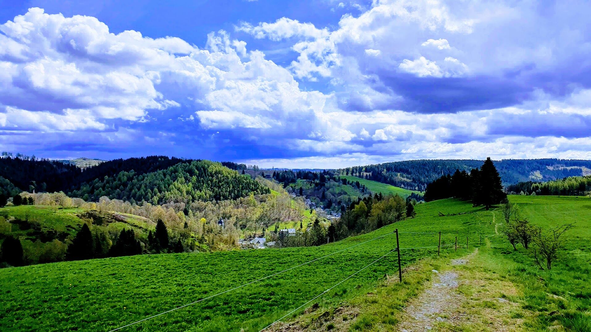

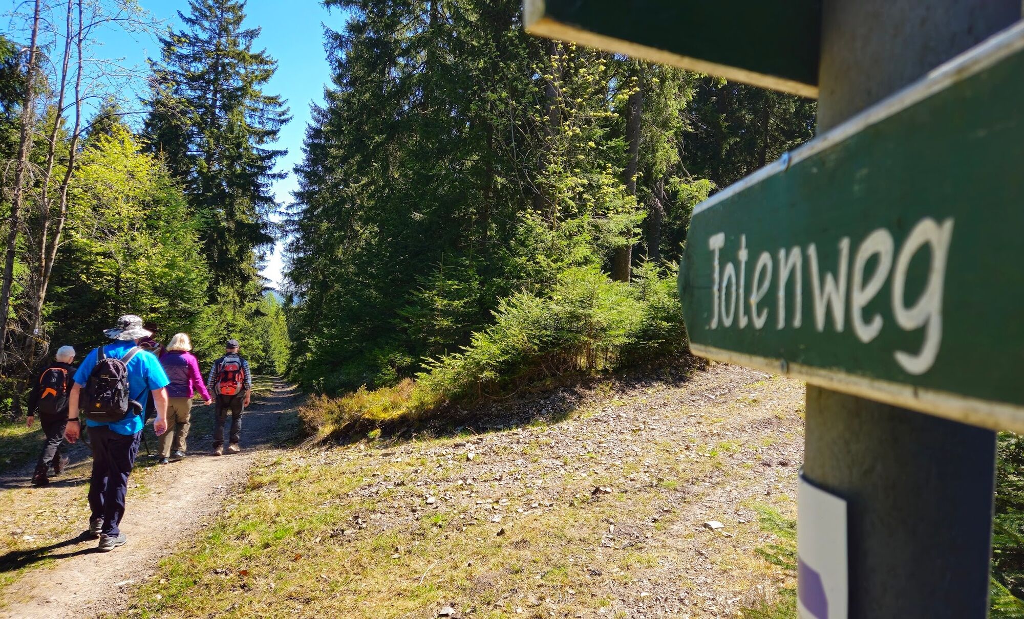
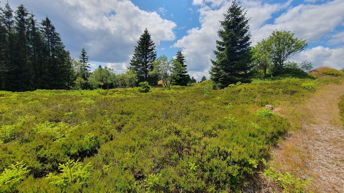
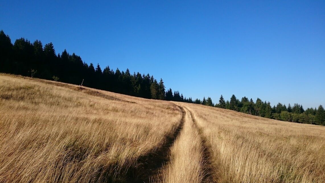
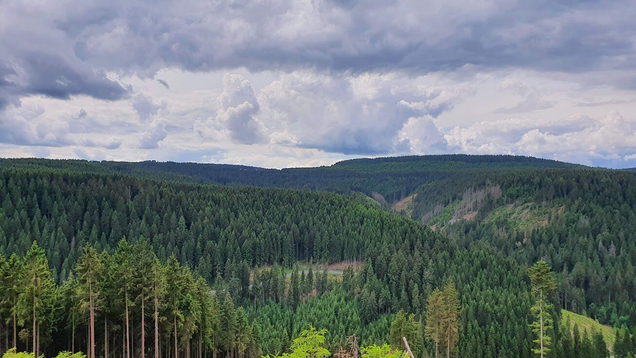
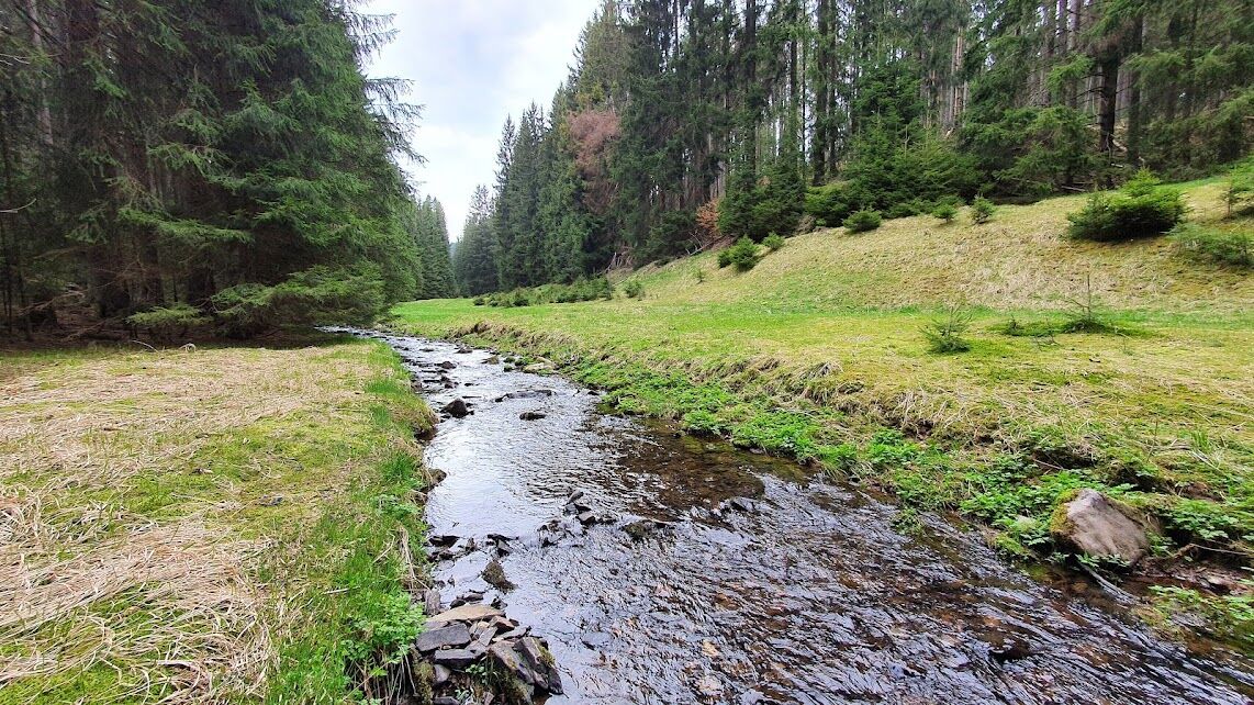
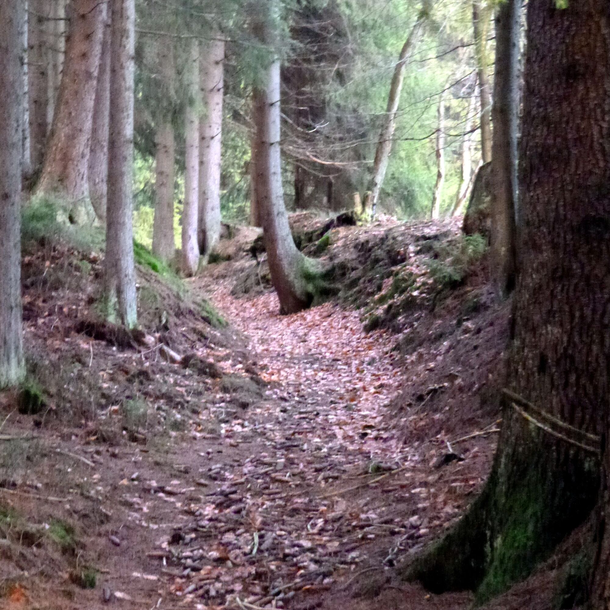
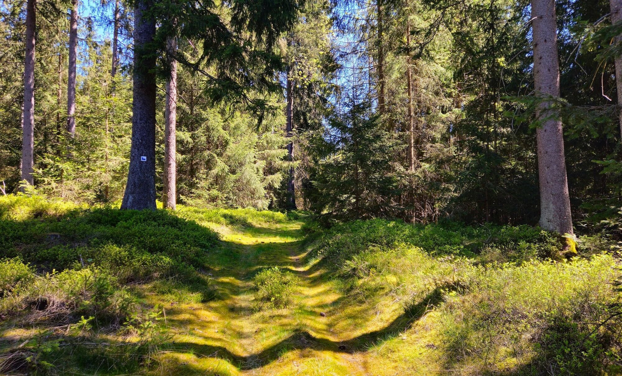

The Lauscha residents had to cross not only peaks but also the valleys of the Steinach and Göritz streams on their way to the Steinheid church. The Totenweg leads from the Huttenplatz in Lauscha up to the Eller and back down into the Steinach valley, past the swimming pool. Behind the Steinach bridge, it goes up the Wässrige Weg and back down into the Göritz valley and over the forehead dam of the 3rd raft pond at the Göritz. Before its defect, the raft pond on the Totenweg was one of the largest in the Steinach catchment area with 20,000 m³. After the construction of the 4 km raft ditch (1579) to the Röden, the Steinheid wood was floated to Coburg to the raft landing. The Slavs gave the Göritz its name (Gorica = stream at the small mountain). Now it goes steeply up to the Kieferle, the highest mountain in the Thuringian Slate Mountains. Now there are only a few hundred meters left to the church and the market square in Steinheid.
Oui
The very steep ascents require endurance and slip-resistant footwear. At higher elevations, a cool wind always blows; here, changing clothes sometimes prevent cooling.
The Steinach is, measured by its catchment area, the river with the most water in Thuringia. During snowmelt or thunderstorms, hiking is only conditionally possible and requires knowledge of the dangers.
The starting point is directly on the country road from Sonneberg (B4 and B89) to Neuhaus am Rennweg (B281).
The starting point of the hike is located in the immediate vicinity of the Lauscha train station. Lauscha is connected hourly with Sonneberg (transfer to Nuremberg, Coburg, and Meiningen) and Neuhaus am Rennweg. From the destination Steinheid, buses run to Lauscha and Neuhaus am Rennweg.
In Steinheid and Lauscha, there are free parking spaces in the center.
T1
The historic route of the Totenweg is partially destroyed or impassable, which is why forest roads are used as hiking trails on some sections.
Along the hollow paths, funnel-shaped depressions (Pingen) catch the eye. Iron ore was already mined here in the late Middle Ages and smelted locally. The first blast furnaces and forest forges in the Slate Mountains south of the Rennsteig were probably here. Relics of the mining are still visible.
Obtenez un aperçu Toujours en direct avec plus de 9.500 webcams. En tant qu'utilisateur Pro, vous pouvez désormais voir les webcams correspondantes à de nombreuses randonnées dans l'application de randonnées de bergfex. Vous pouvez ainsi voir directement les conditions actuelles.Parcours populaires à proximité
- 5,0
Naturlehrpfad Gießübler Schweiz
moyenRandonnée 7,99 km - 5,0
Parcours circulaire - TOP 1 - source de la Werra - Masserberg - forêt de Thuringe
moyenRandonnée 5,94 km Parcours circulaire - « Parcours des sculptures » - Départ de randonnée Unterweißbach - Forêt de Thuringe
moyenRandonnée 24,4 kmRandonnée circulaire - « Quand Rennsteig rencontre le chemin panoramique de la vallée de la Schwarza » - Limbach
moyenRandonnée 9,68 km- 5,0
Meurasteine, Talsperre Leibis-Lichte
moyenRandonnée 13,4 km - 4,0
Circuit - TOP 2 - Masserberg - "expérience culturelle" - Friedrichshöhe - forêt de Thuringe
moyenRandonnée 15,2 km - 4,0
Parcours thérapeutique Masserberg - TKW 7 - Source de la Werra, Dreiherrnstein - Forêt de Thuringe
moyenRandonnée 8,67 km Randonnée circulaire - autour de la centrale de pompage - Goldisthal
moyenRandonnée 19,5 km- 5,0
Sentier circulaire - Sentier didactique nature Lichtenhain - Point de départ randonnée Lichtenhain
moyenRandonnée 8,08 km Randonnée - Rennsteig - étape 5 - D'Allzunah à Friedrichshöhe
difficileRandonnée 24,5 km
Randonnée et suivi


Ne manquez pas les offres et l'inspiration pour vos prochaines vacances
Votre adresse électronique a été ajouté à la liste de diffusion.





