







Latschander irrigation channel path
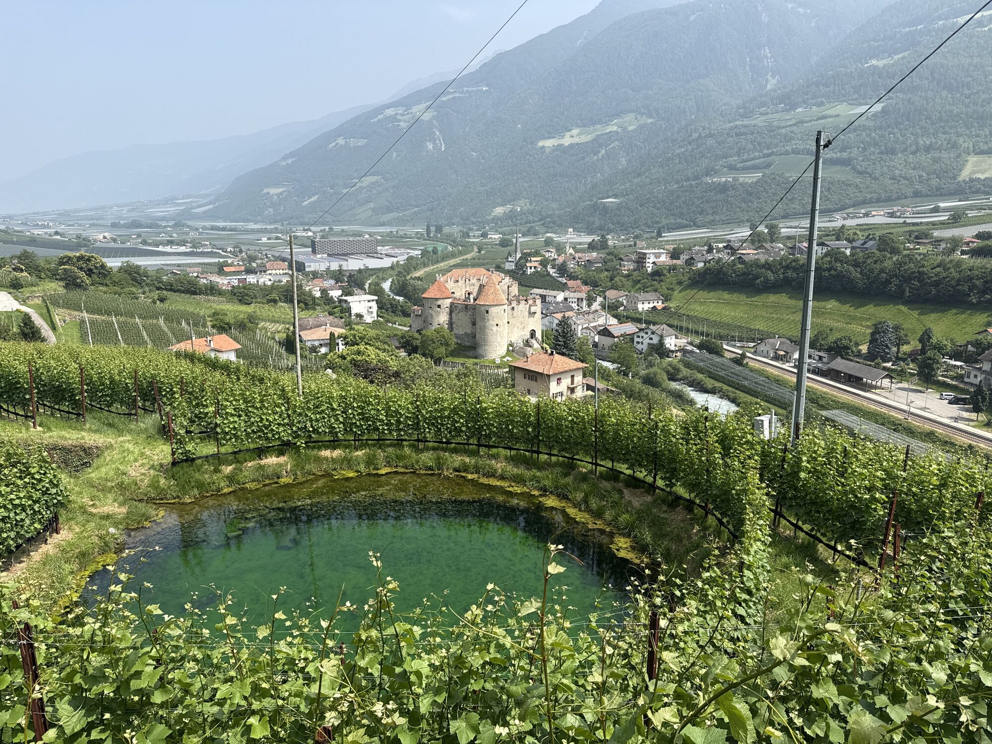
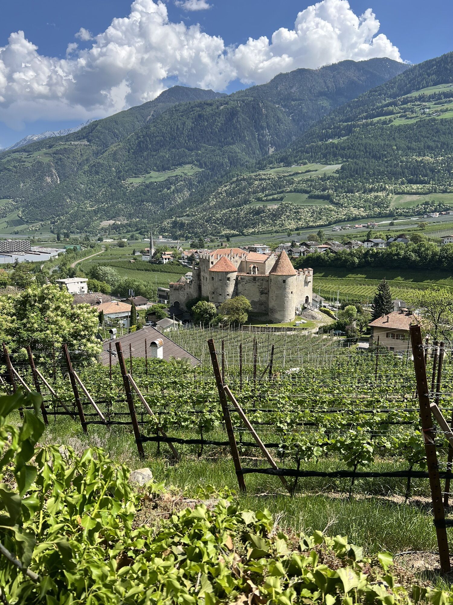
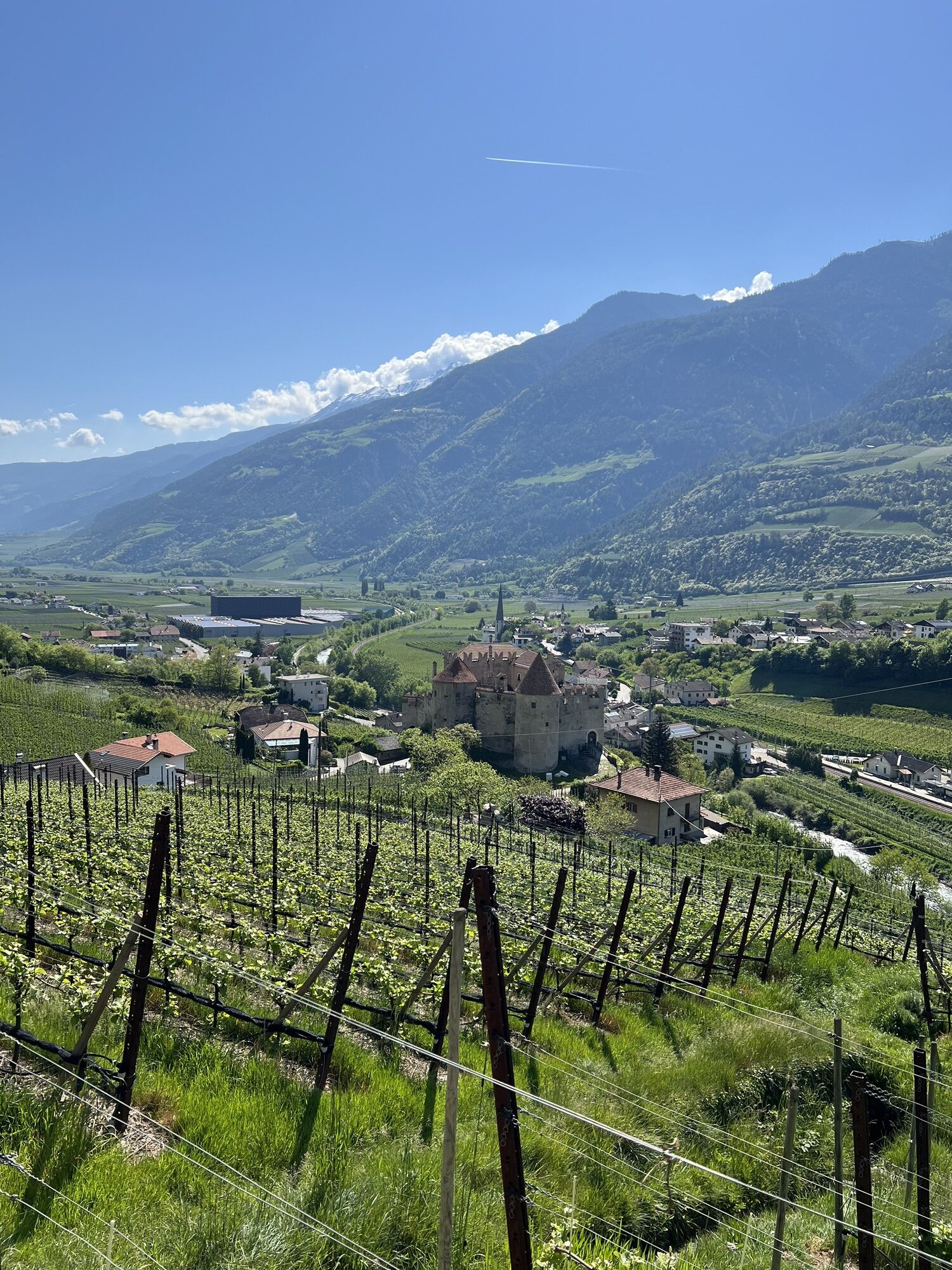
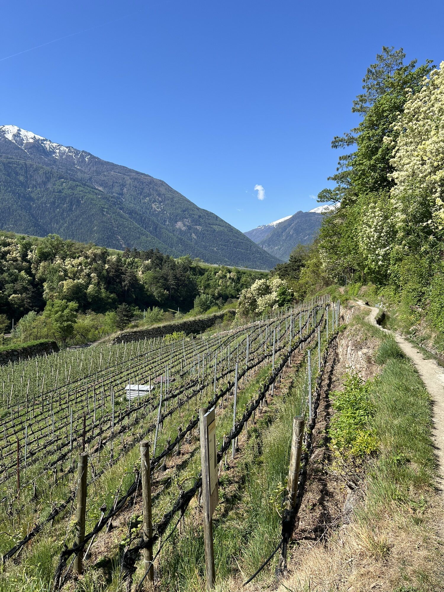
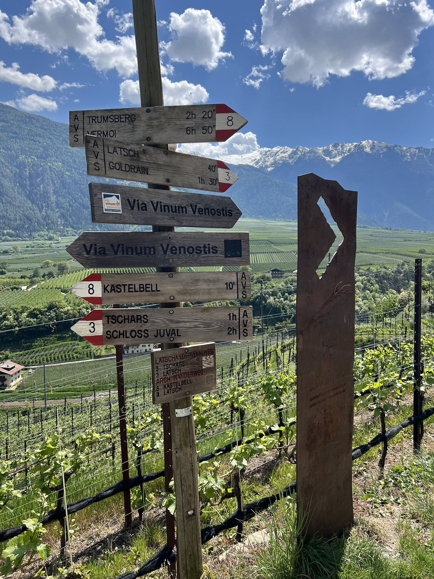
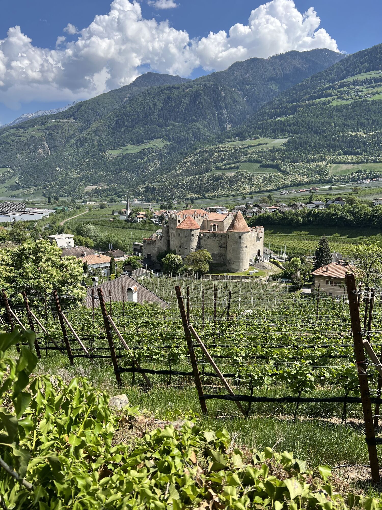
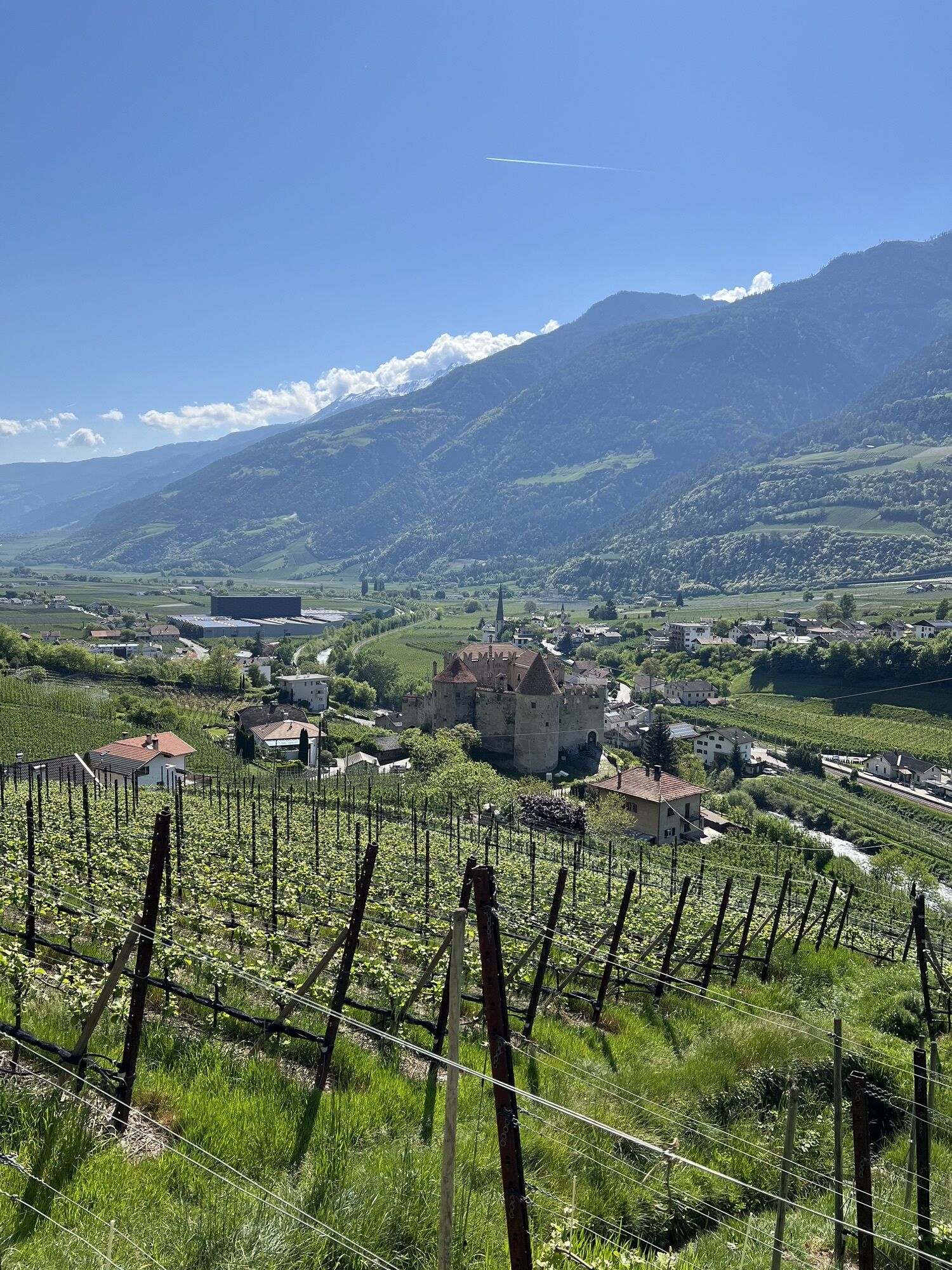
Start in Castelbello at the village squar with the fountain, pass by the municipal hall and go westwards towards Castelbello Castle. Pass by the castle and follow the steep road that takes you to the axxess...
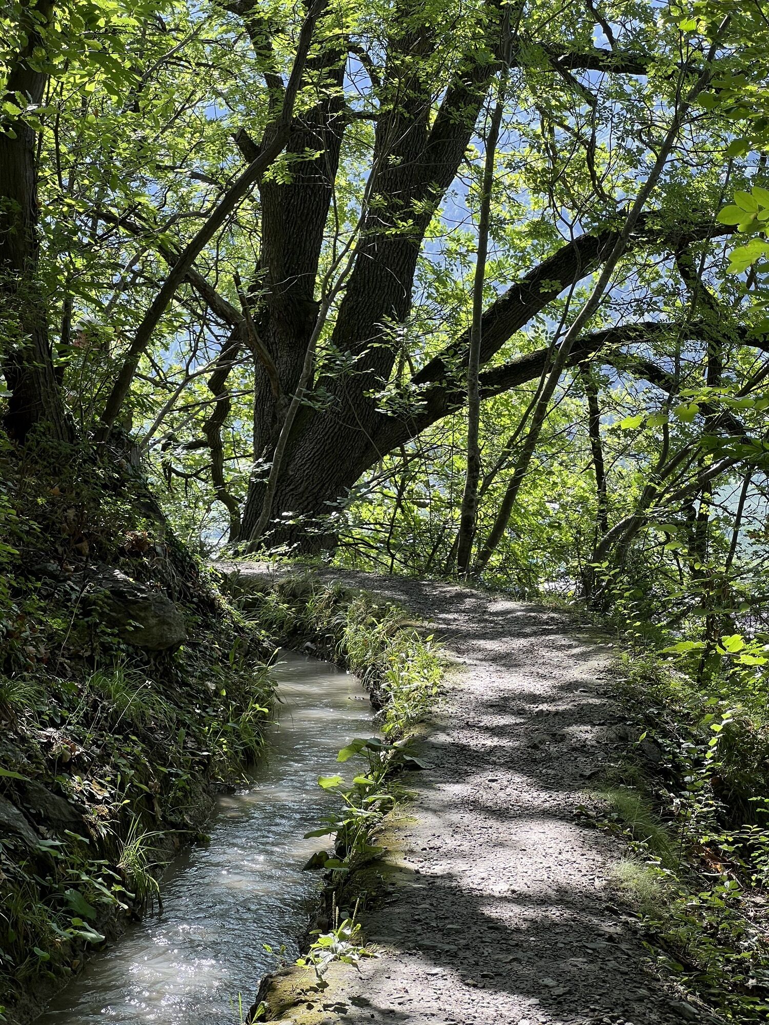
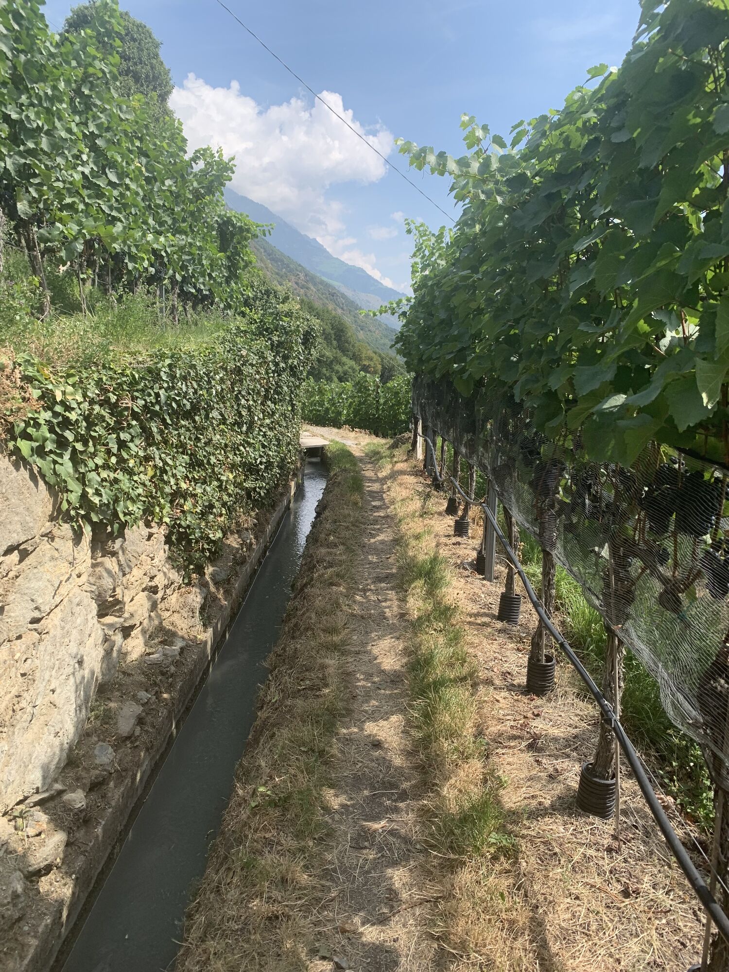
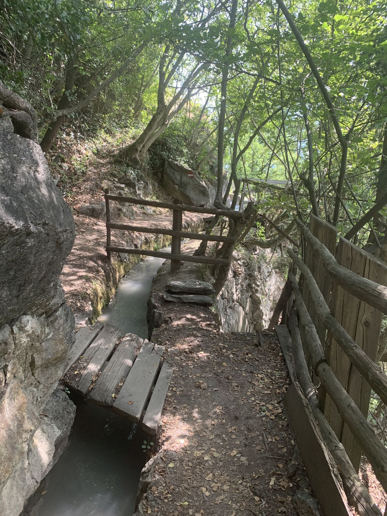
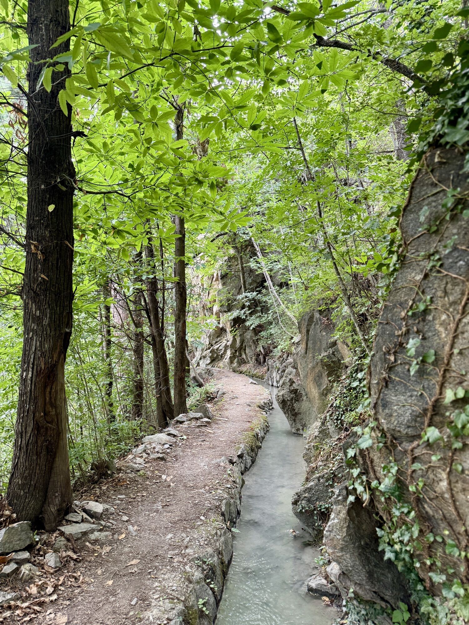
Start in Castelbello at the village squar with the fountain, pass by the municipal hall and go westwards towards Castelbello Castle. Pass by the castle and follow the steep road that takes you to the axxess of the Latschander irrigation channel path (no.3). At first, the path crosses orchards and vineyards and later winds its way through a seemingly wild landscape above the Adige riverbed and the state road to Laces


Pfraum, restaurant of Castelbello
Oui
Oui
Oui
Castelbello train station
 Obtenez un aperçu
Toujours en direct avec plus de 9.500 webcams. En tant qu'utilisateur Pro, vous pouvez désormais voir les webcams correspondantes à de nombreuses randonnées dans l'application de randonnées de bergfex. Vous pouvez ainsi voir directement les conditions actuelles.
Obtenez un aperçu
Toujours en direct avec plus de 9.500 webcams. En tant qu'utilisateur Pro, vous pouvez désormais voir les webcams correspondantes à de nombreuses randonnées dans l'application de randonnées de bergfex. Vous pouvez ainsi voir directement les conditions actuelles.
Parcours populaires à proximité
-
4,5
Aschbach / Rio Lagundo – Naturnser Alm mountain pasture - Vigiljoch/San Vigilio
moyenRandonnée 10,3 km -
4,2
Vorderkaser - Eishof / Texelgruppe
facileRandonnée 4,83 km -
4,7
Naturns Unterstellbahn bis Texelbahn auf dem Meraner Höhenweg
moyenRandonnée 9,77 km -
4,4
Rundweg Vernagter See plus Einkehr Finailhof
moyenRandonnée 8,73 km -
4,1
Vernagt-Stausee (Seerundgang)
facileRandonnée 6,70 km -
4,4
Vigiljoch-Naturnser Alm
moyenRandonnée 13,3 km -
4,5
Schloss Juval
facileRandonnée 9,78 km -
4,8
Hoher Dieb von Steinrast aus
moyenRandonnée 13,6 km -
4,5
Wanderung zum Partschinser Wasserfall
facileRandonnée 6,46 km -
4,8
Meraner Höhenweg E2/6 Giggelberg-Katharinaberg
Randonnée 13,9 km

Randonnée et suivi


Ne manquez pas les offres et l'inspiration pour vos prochaines vacances
Votre adresse électronique a été ajouté à la liste de diffusion.





