







Mountain restaurant Plantaptasch (without Lift)

You arrive to the valley station Watles with your own car or with public transport. From here you follow the hiking trail, passing by the Höfer Alm until the mountain restaurant Plantapatsch. From there...
You arrive to the valley station Watles with your own car or with public transport.
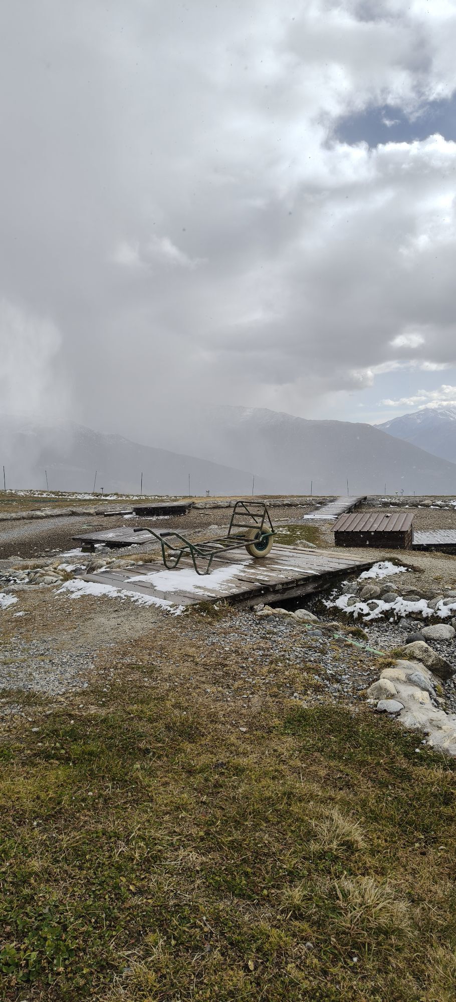
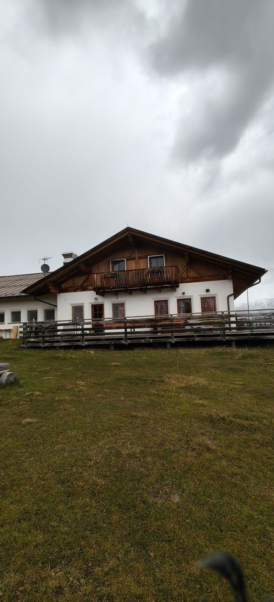
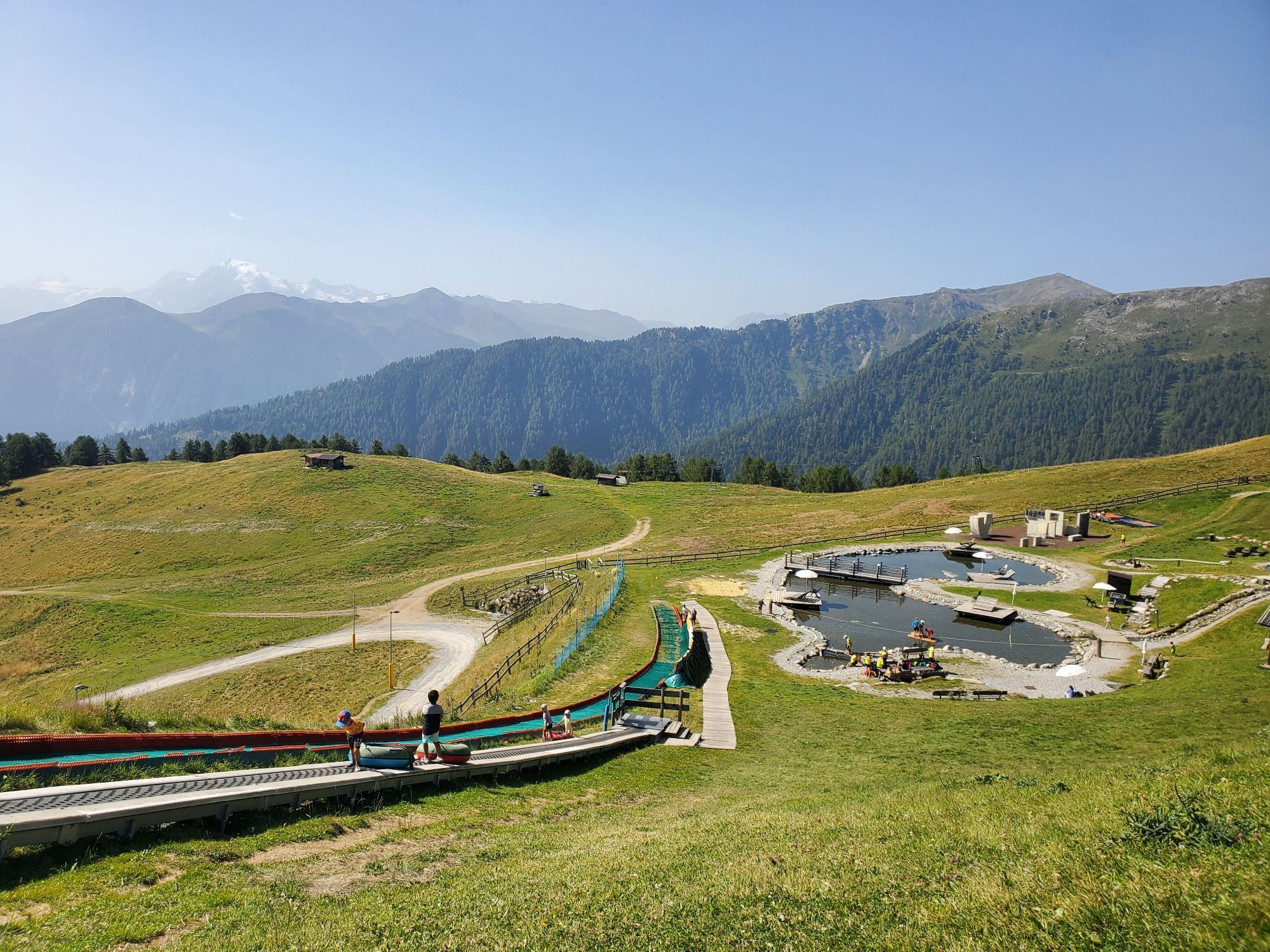
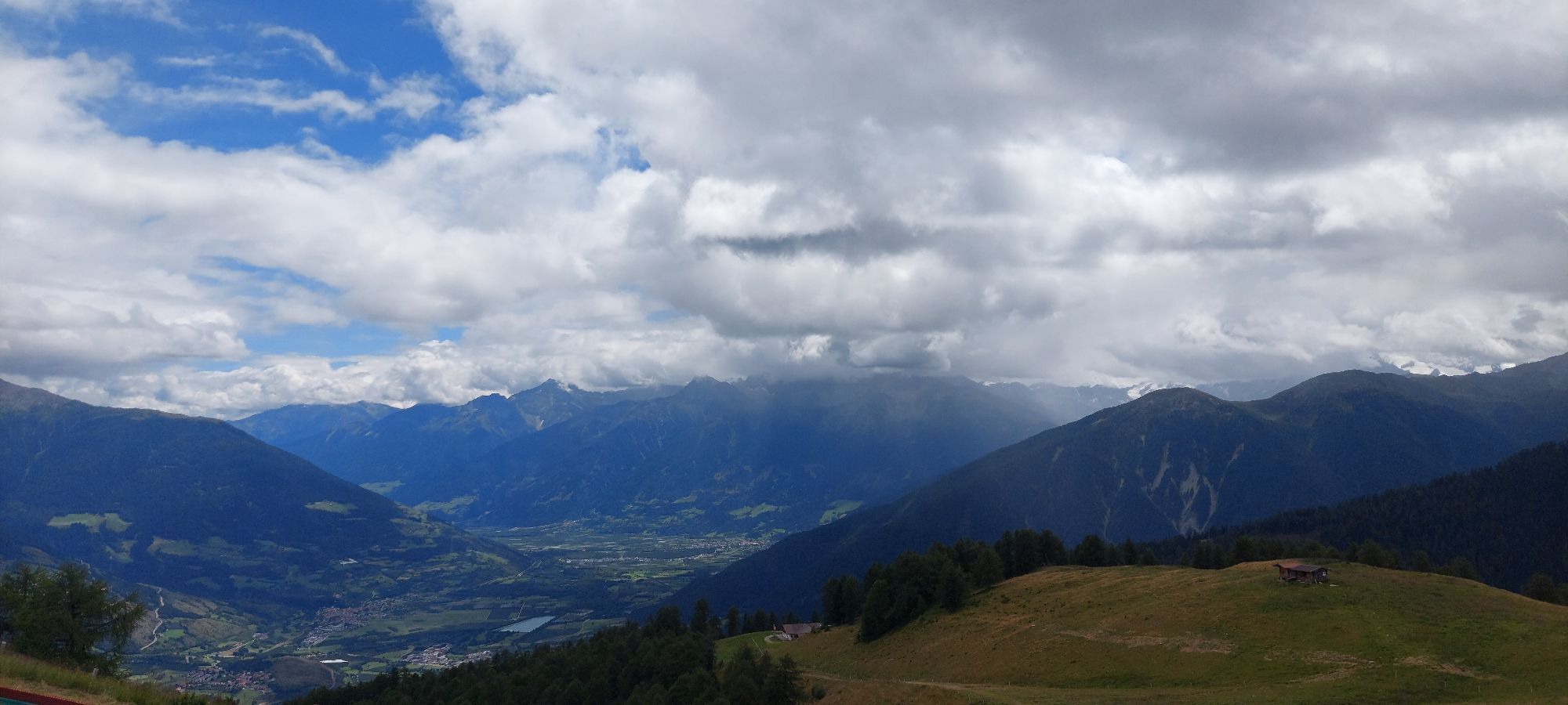
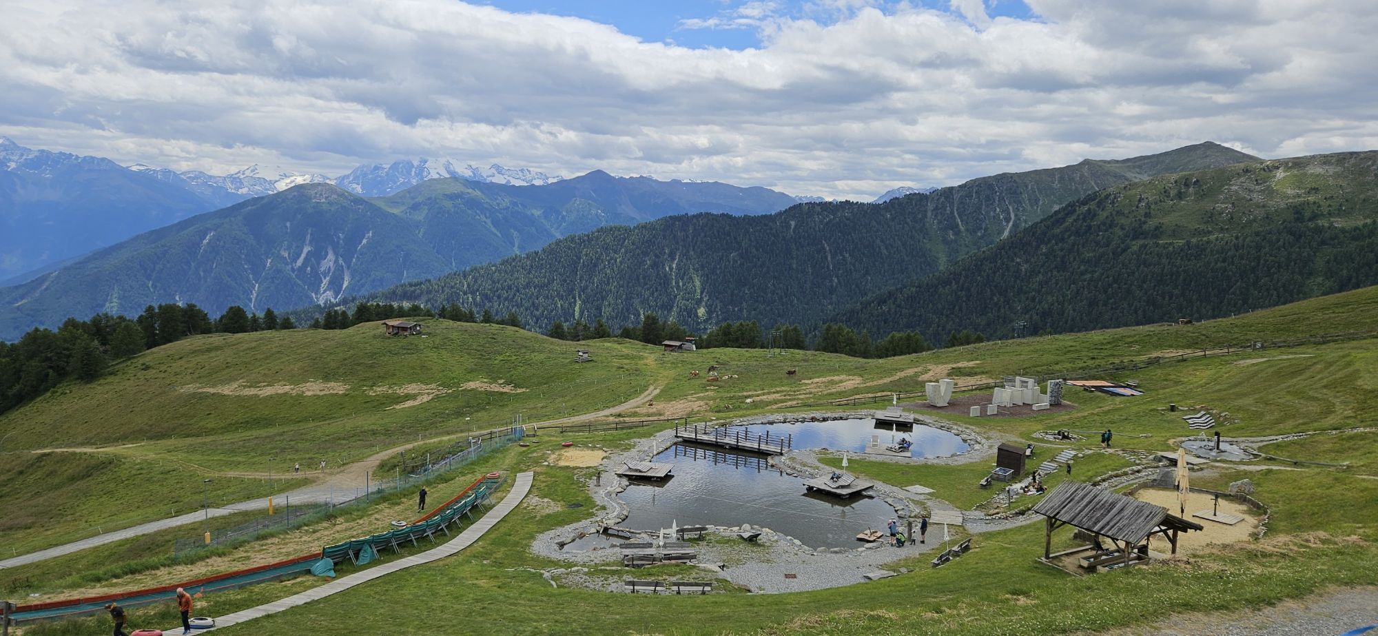
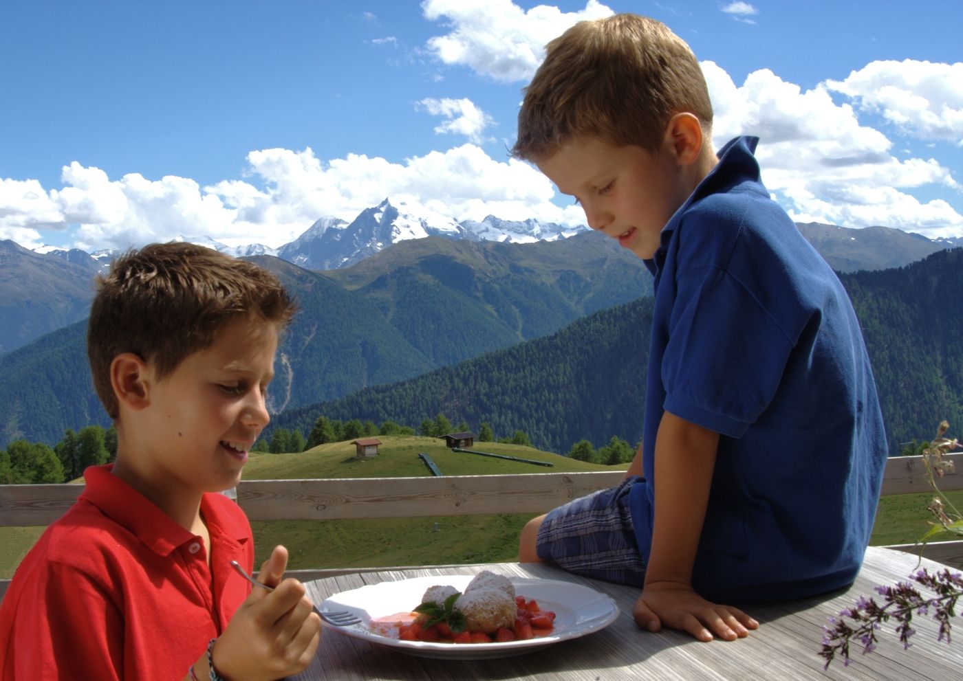
From here you follow the hiking trail, passing by the Höfer Alm until the mountain restaurant Plantapatsch. From there you enjoy a breathtaking mountain view, wonderful cuisine and the little ones enjoy playing on the new playground-lake.
Hiking time: about 1,5 - 2 hours
Altitude difference: 400 m
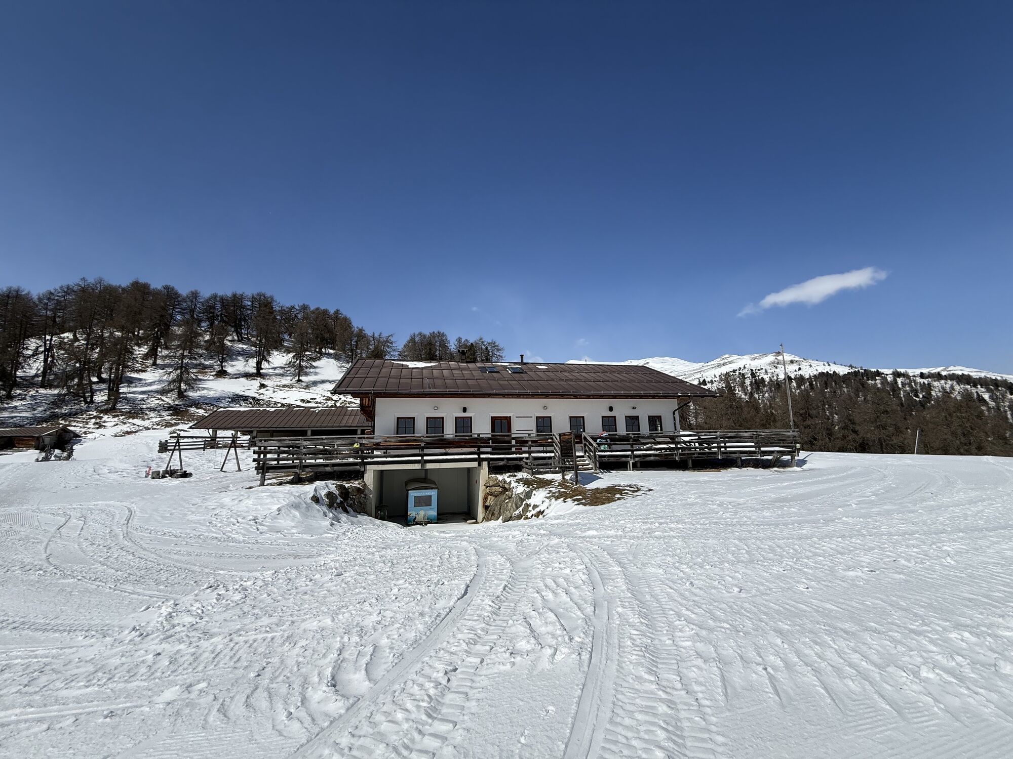
Stop to refresh/to eat: Höferalm and Plantapatschhütte




Alpine pastures Höfer Alm and Plantapatsch
Oui
Oui
With your own car or public transfer to the valley station Watles
Valley station Watles




Parcours populaires à proximité
-
4,3
Panoramaweg Schöneben Haider Alm
facileRandonnée 5,78 km -
4,3
Reschensee
facileRandonnée 15,6 km -
4,2
Haidersee - Graun - Trentino-Alto Adige/Südtirol/Italia
facileRandonnée 4,99 km -
3,6
Easy hiking rout to the top of the Watles Moutain (2.550 m)
moyenRandonnée 2,35 km -
4,4
Leonhardskapelle - Deiländerblick - Mein Dörfl Bar-Bungalov - Kapelle zum Hl. Martin
facileFaire du vélo 29,2 km -
4,5
Rundwanderweg Wattles und Sesvenna
facileRandonnée 16,4 km -
5,0
Edelweißsteig- Leitenwool- Muntaschinig- Gongelegg - Schluderns
facileRandonnée 14,0 km -
5,0
Spitzige Lun
moyenRandonnée 12,4 km -
5,0
Sesvennahütte
moyenRandonnée 5,01 km -
4,7
Bergwanderung Schlinig -Seswenahütte
moyenRandonnée 13,6 km
Randonnée et suivi


Ne manquez pas les offres et l'inspiration pour vos prochaines vacances
Votre adresse électronique a été ajouté à la liste de diffusion.





