







Hoch-Tirol-Trail Stage 1

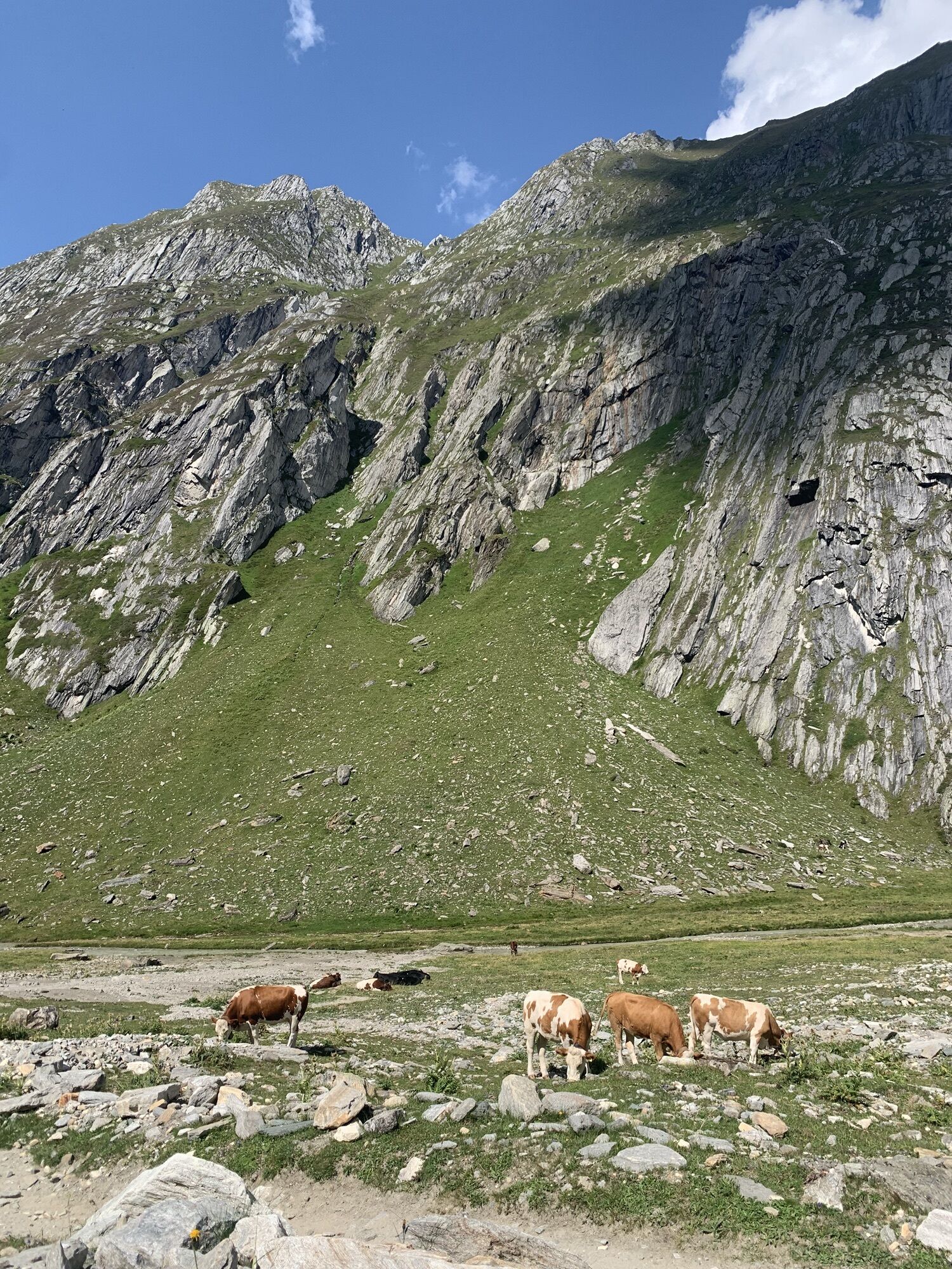
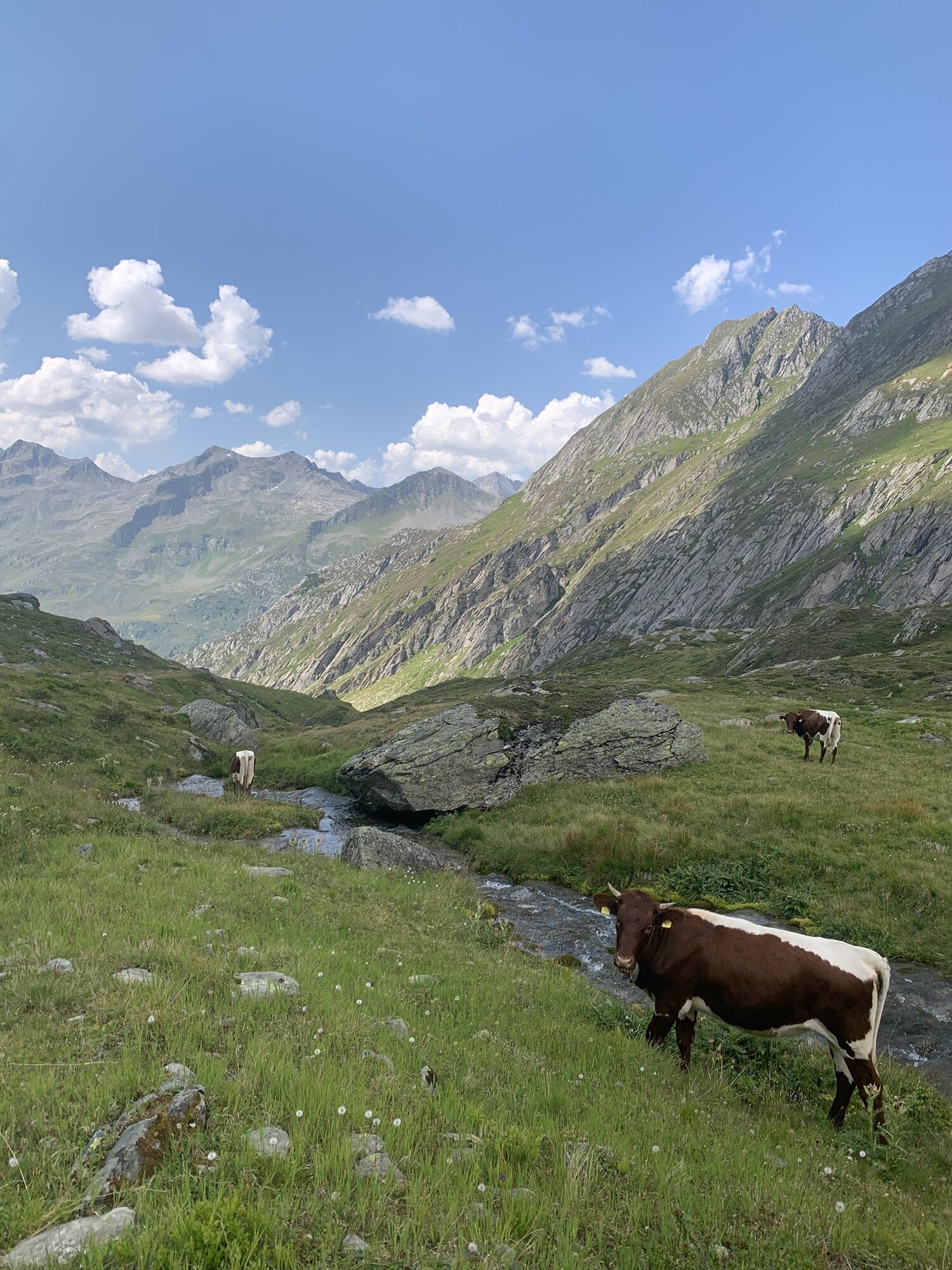
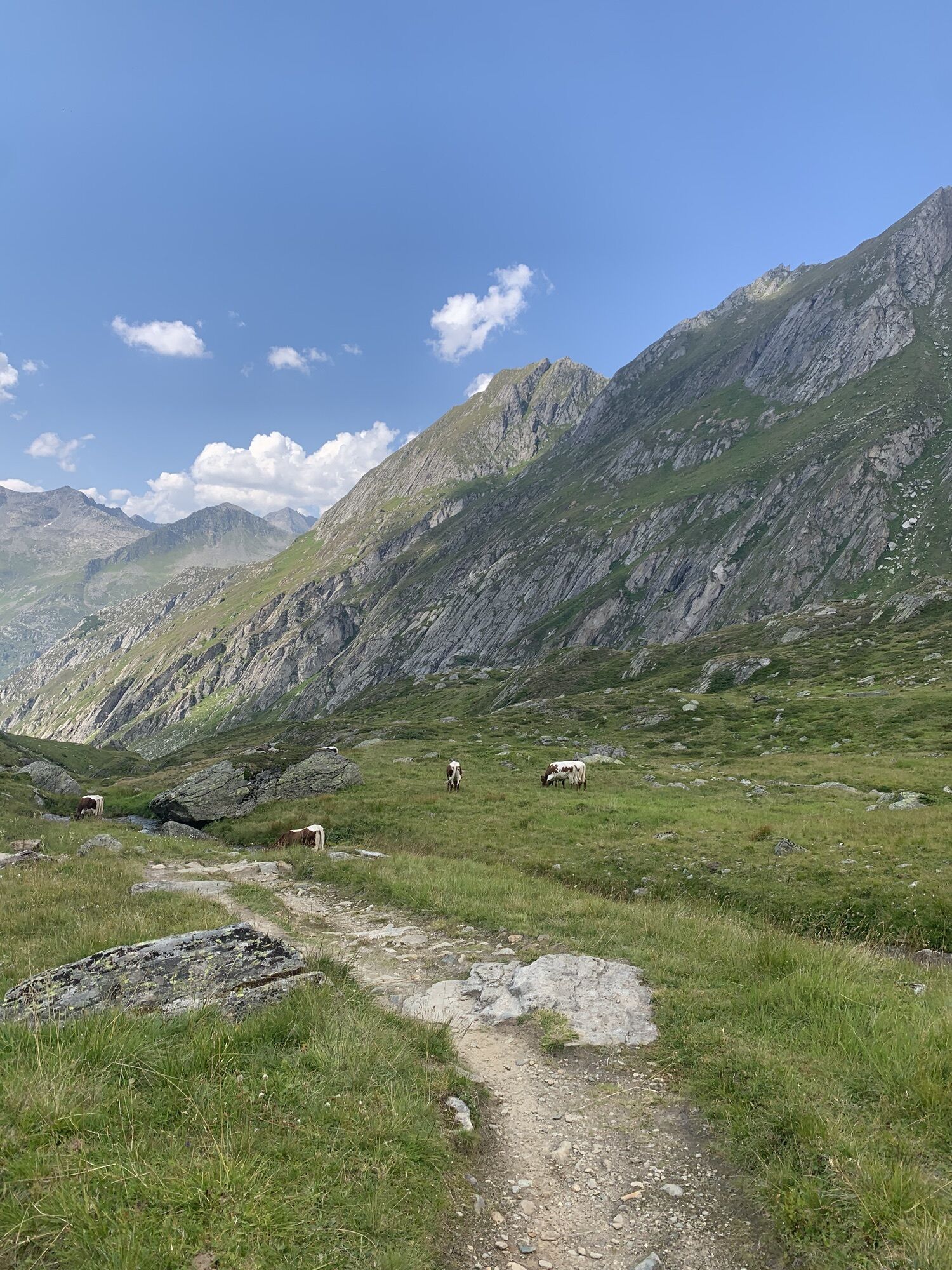
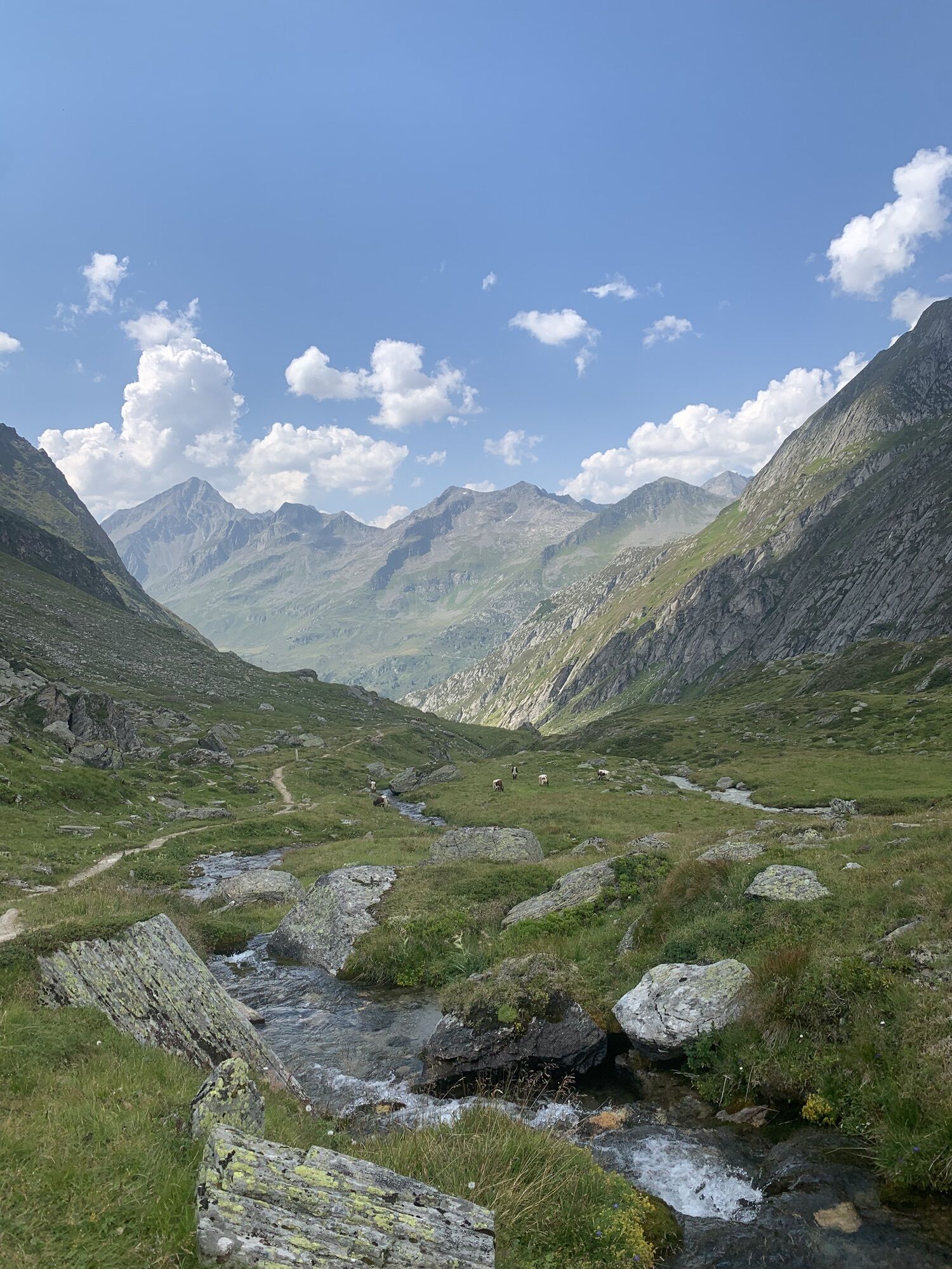

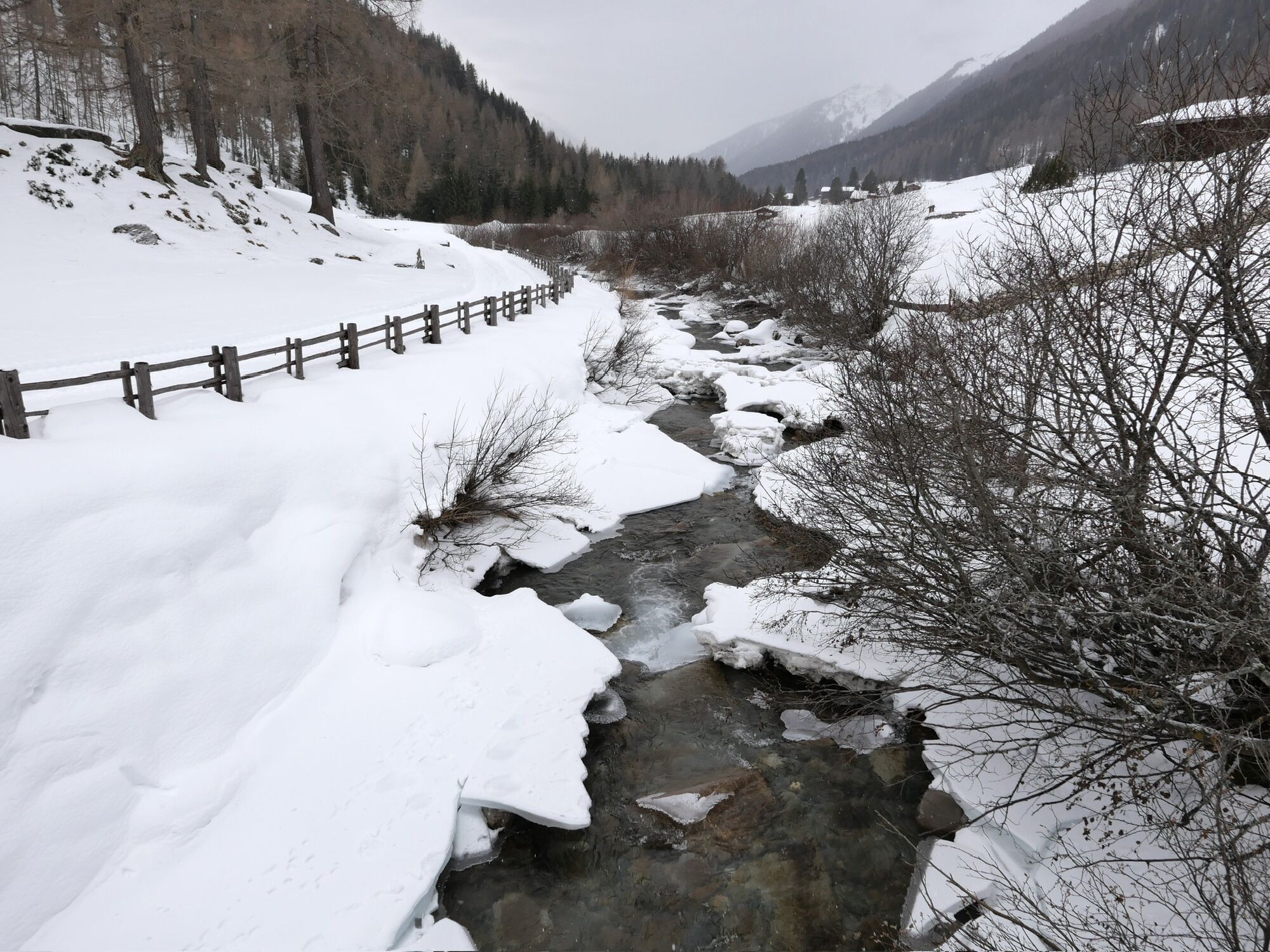

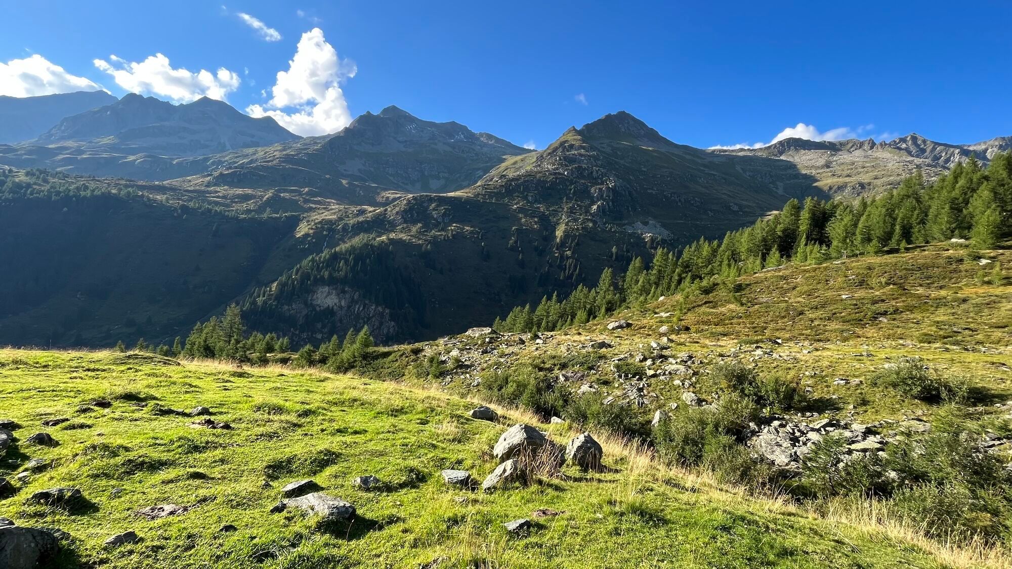
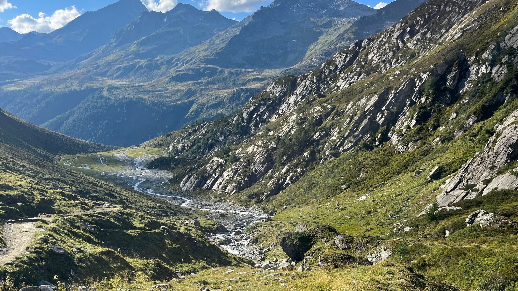
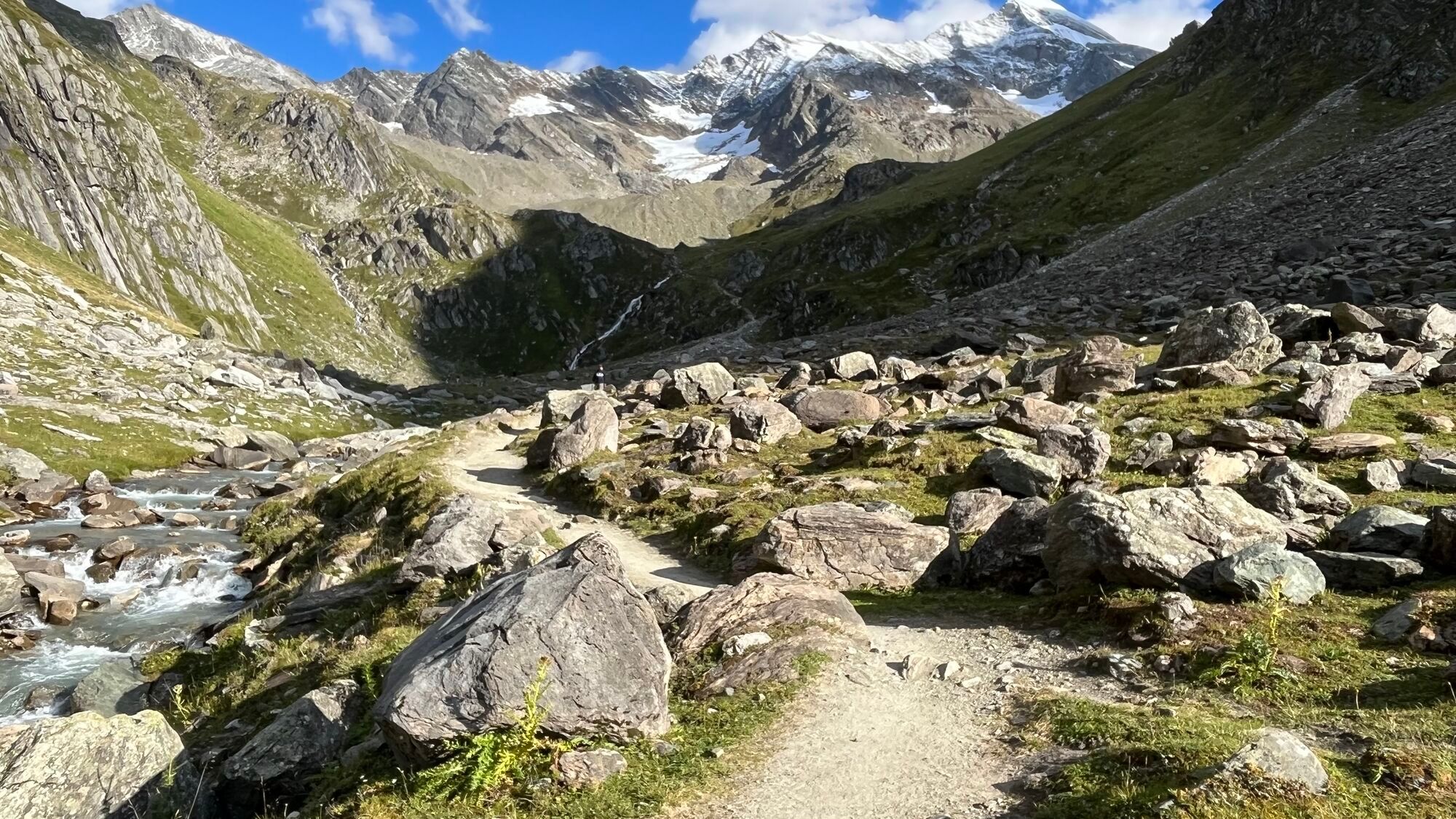

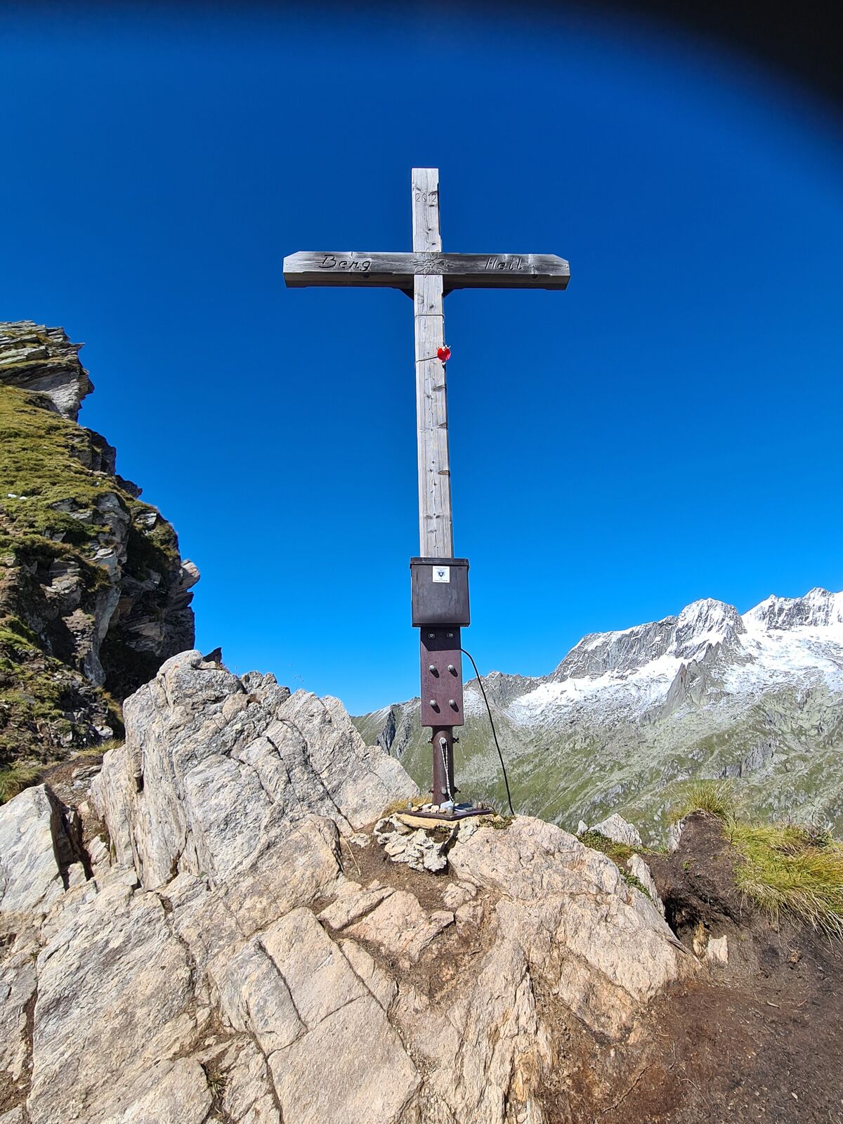
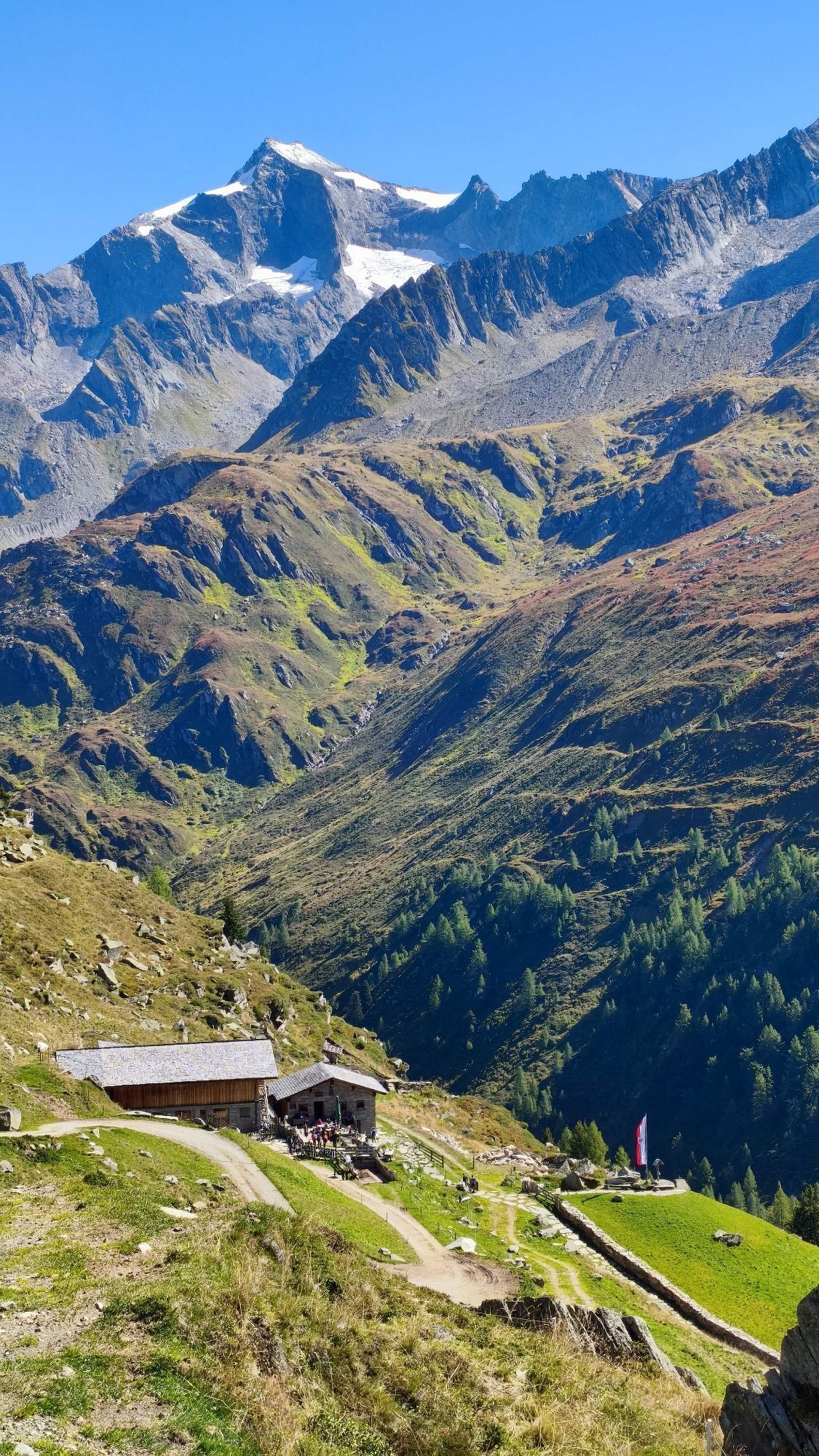
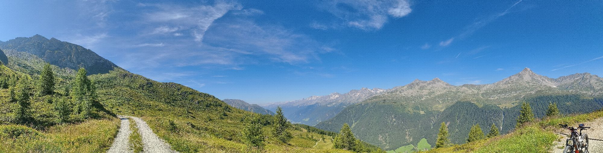
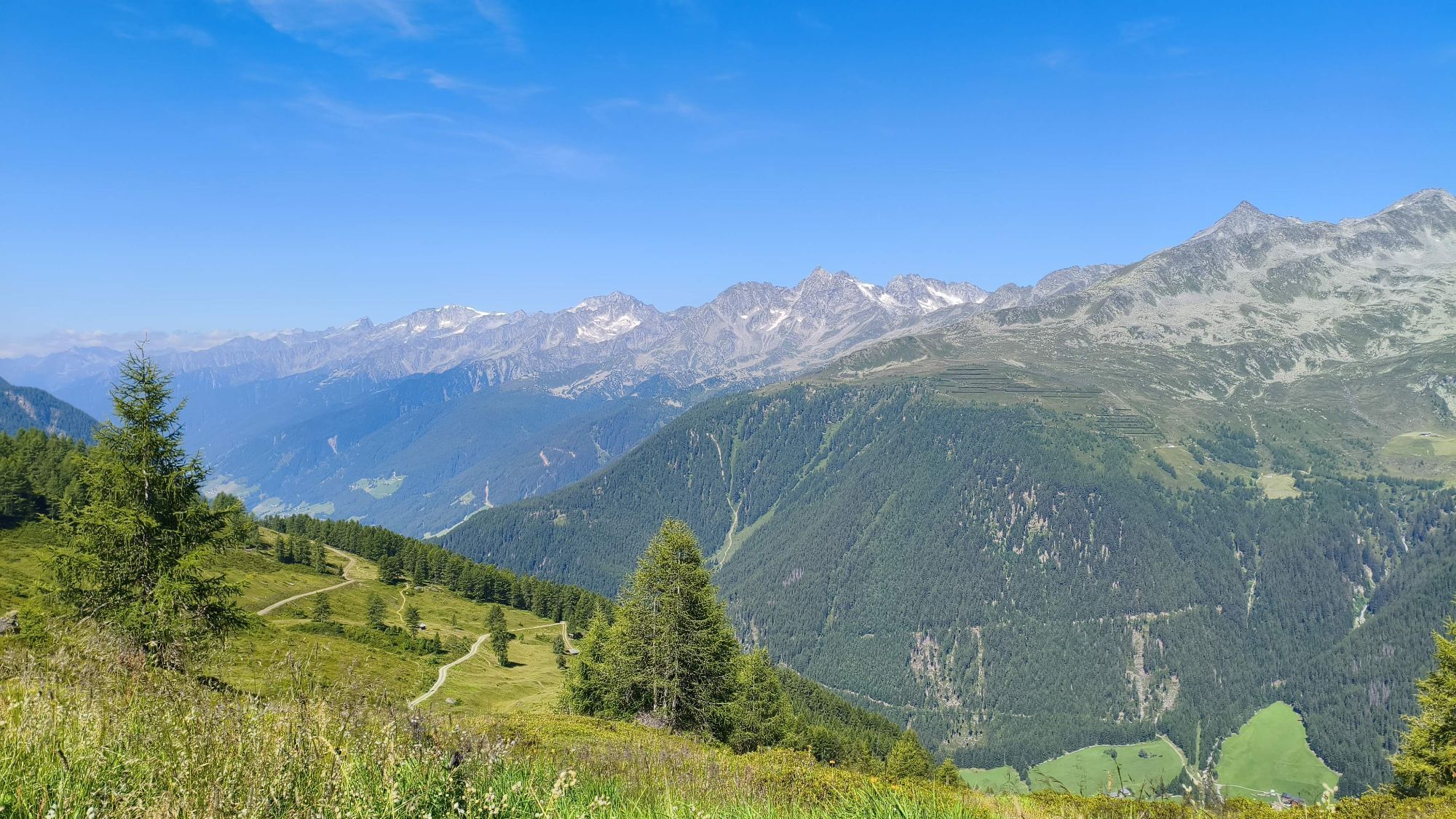
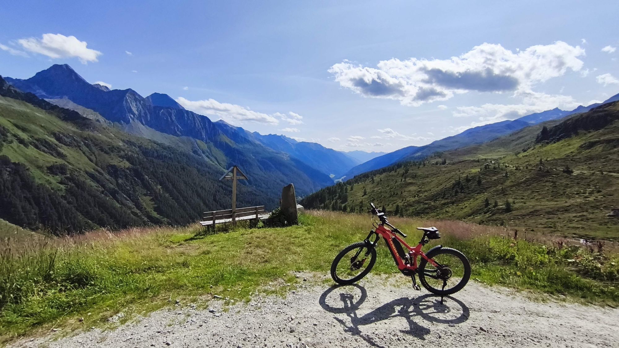
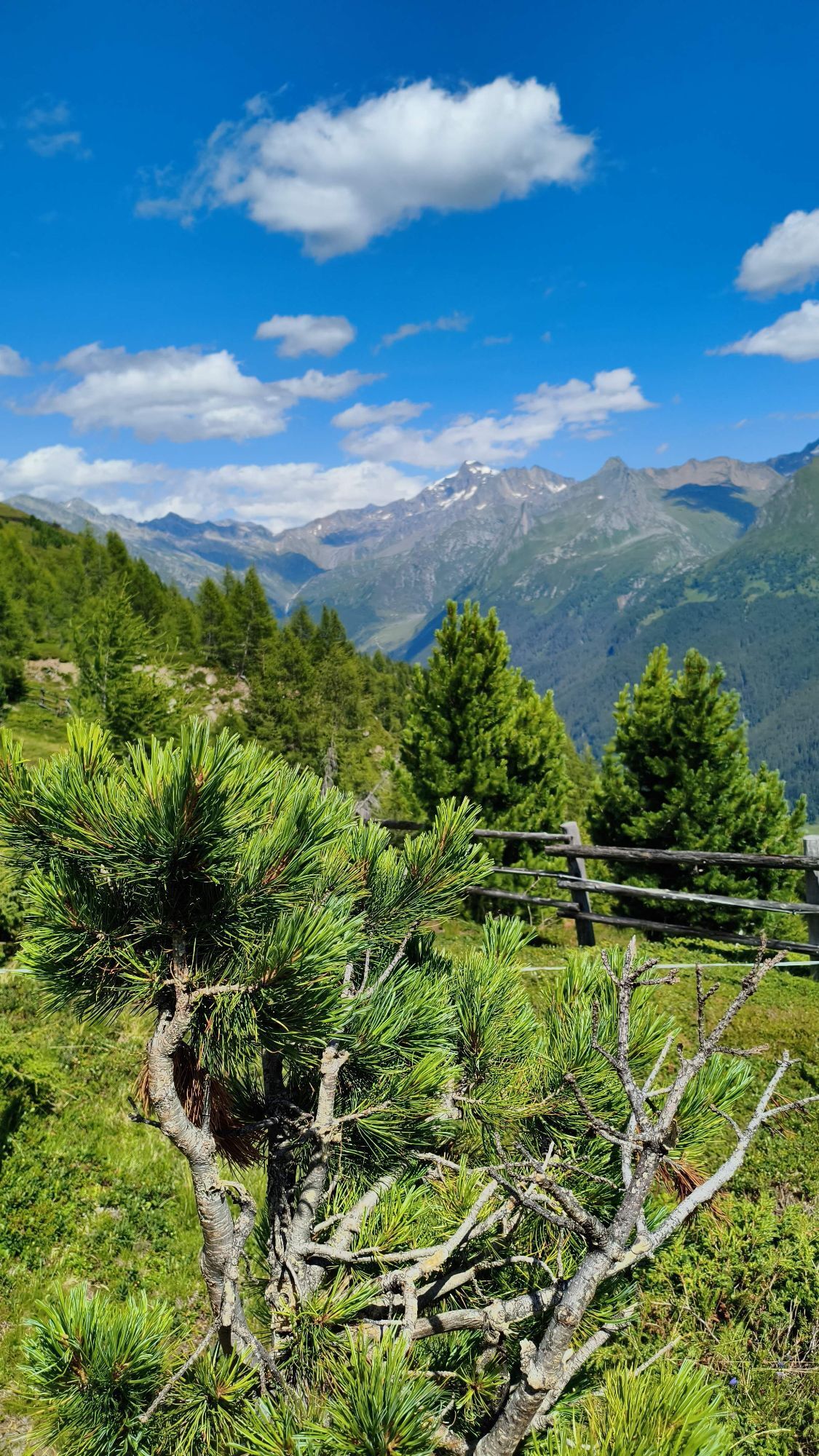
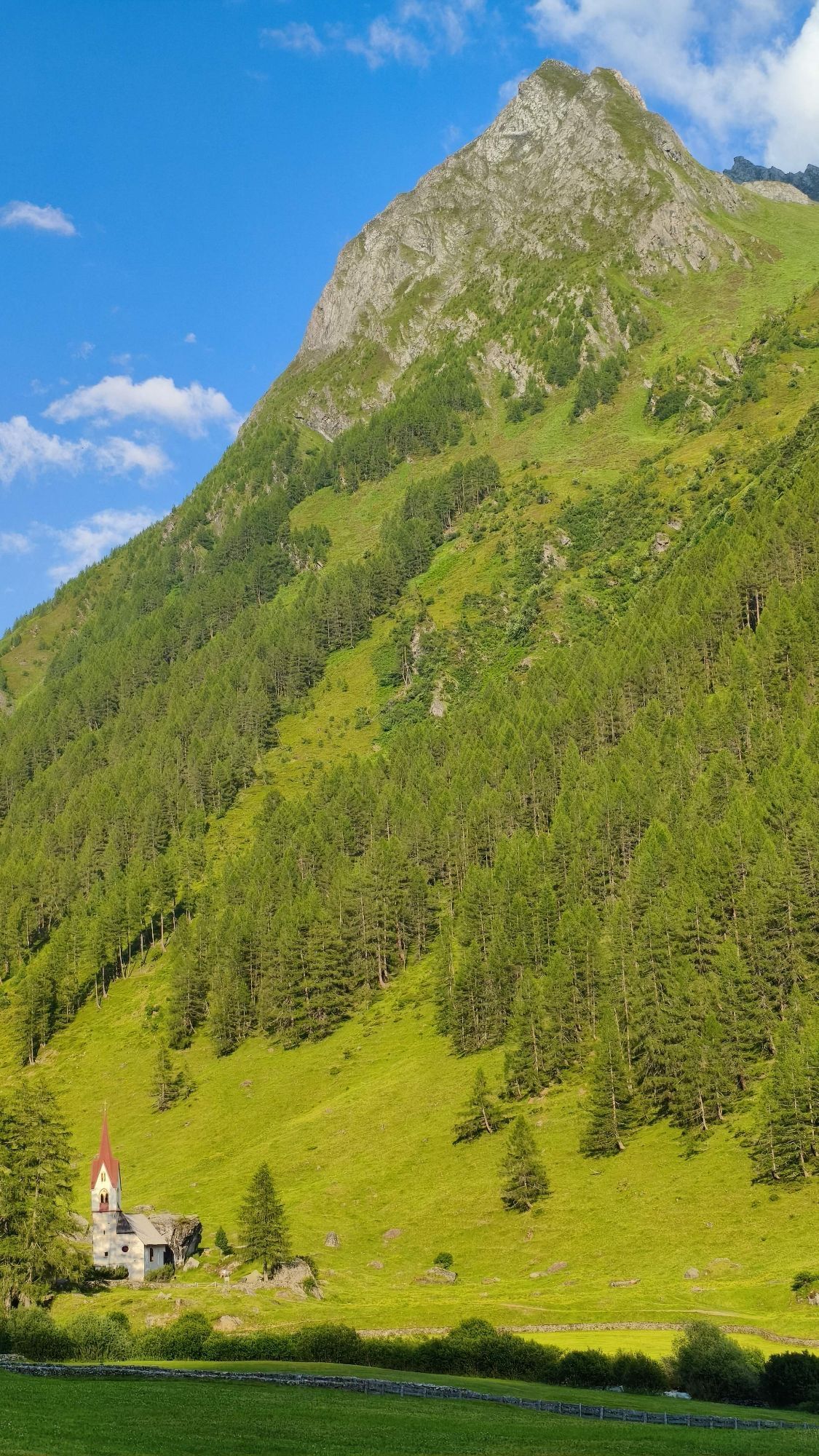
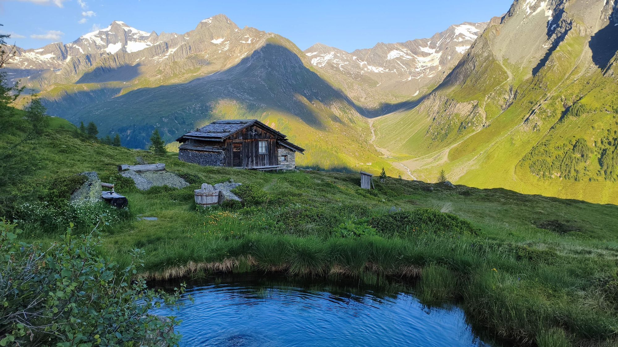
Kasern’s large car park is this trail’s starting point. From here, walk towards the Ahr and the various signposts. One of them will point the way to the Lenkjöchlhütte. Walk across the mountain meadows,...
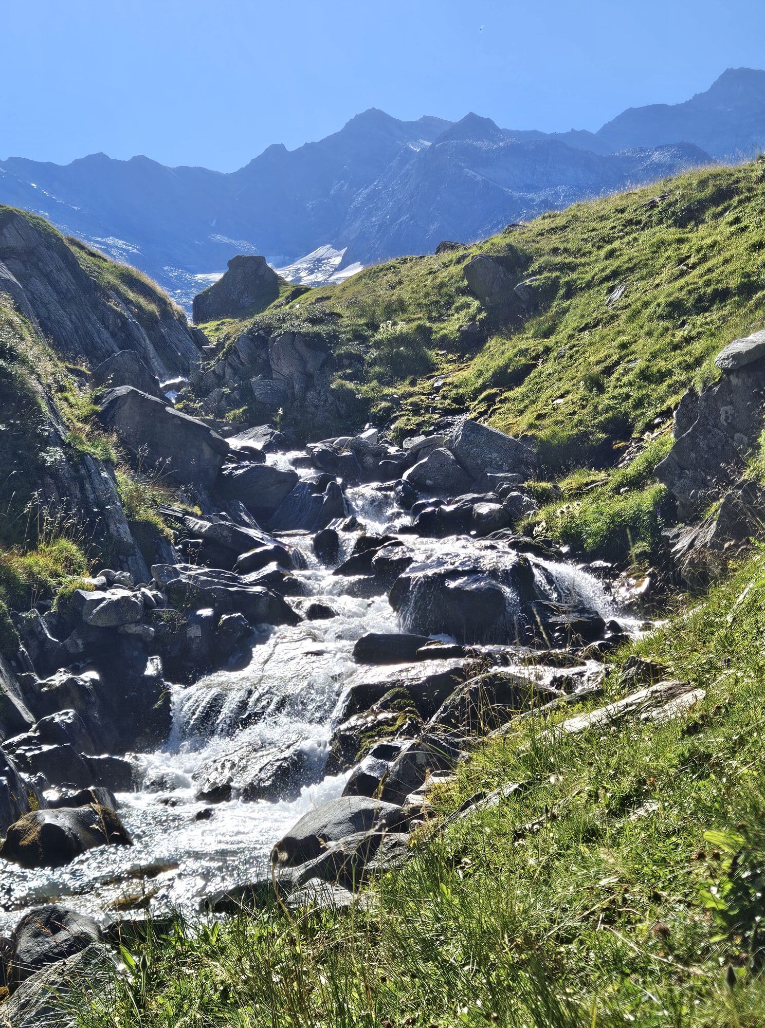
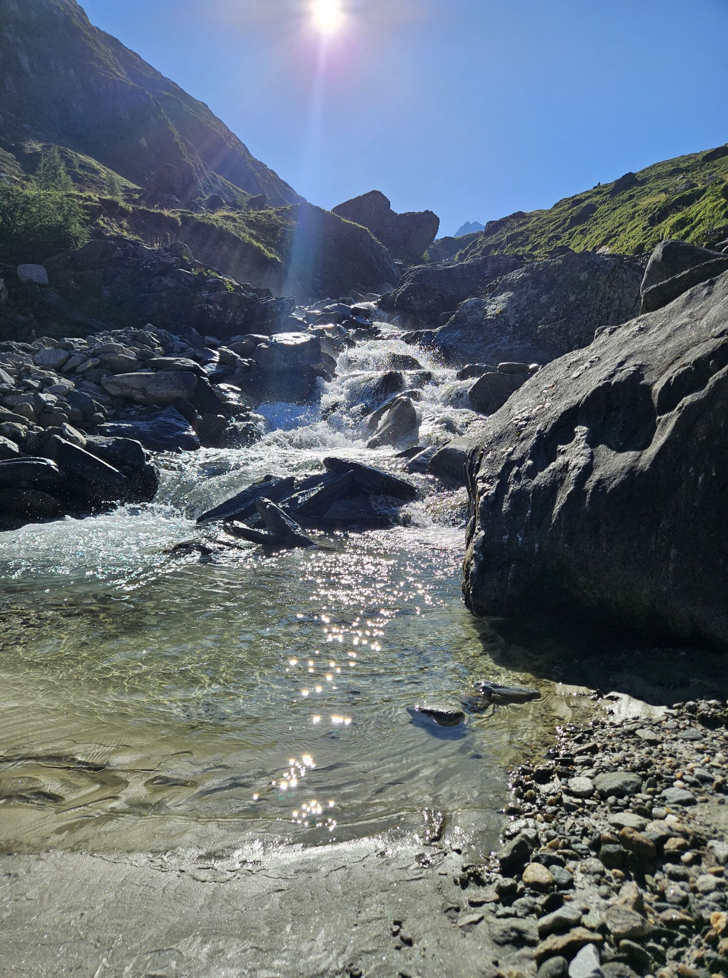
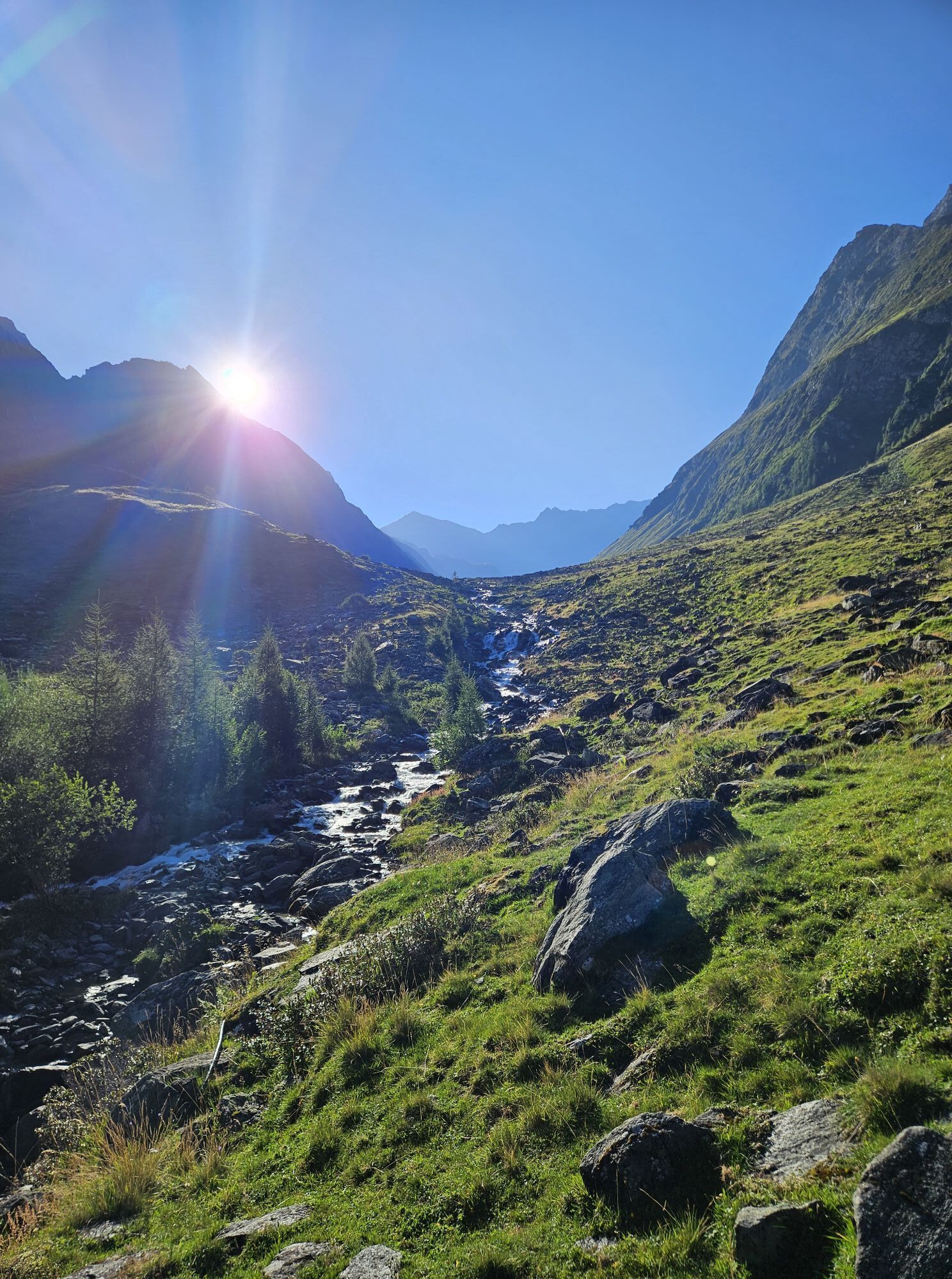
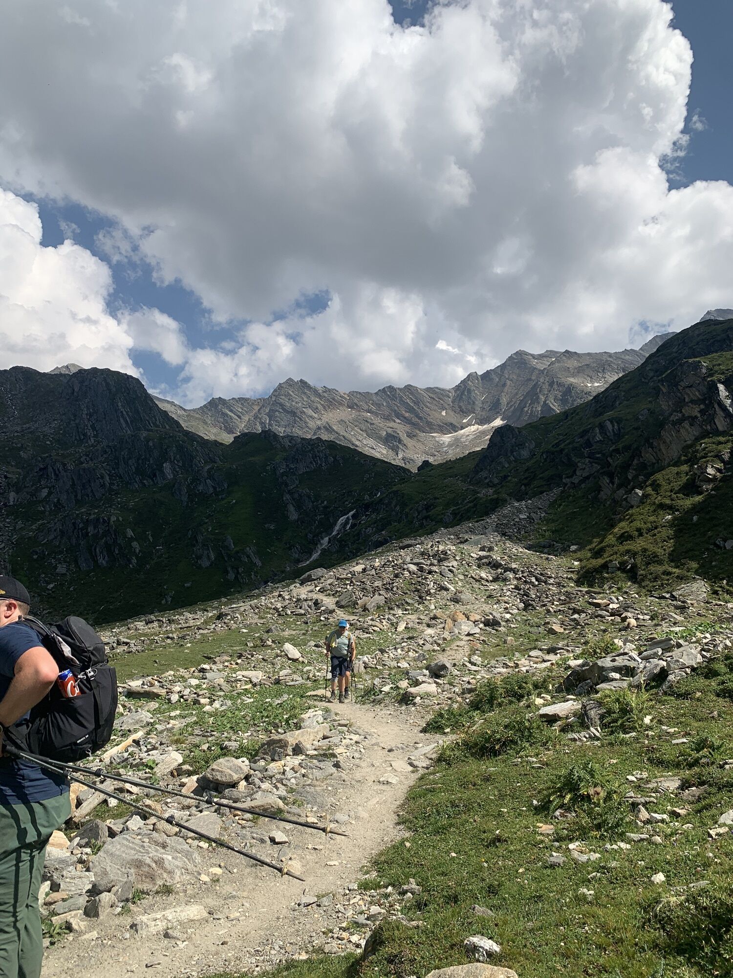
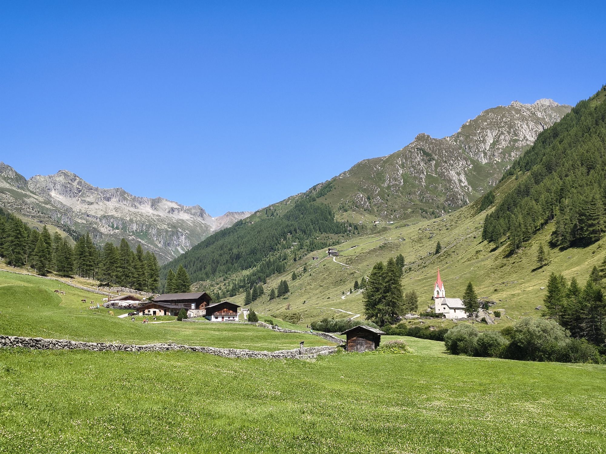
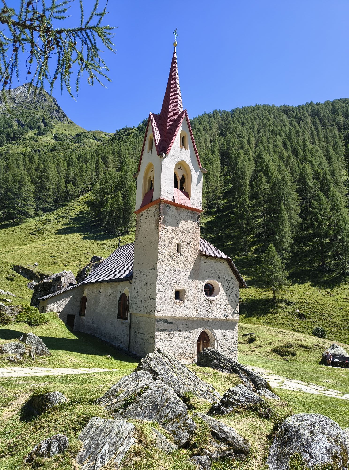
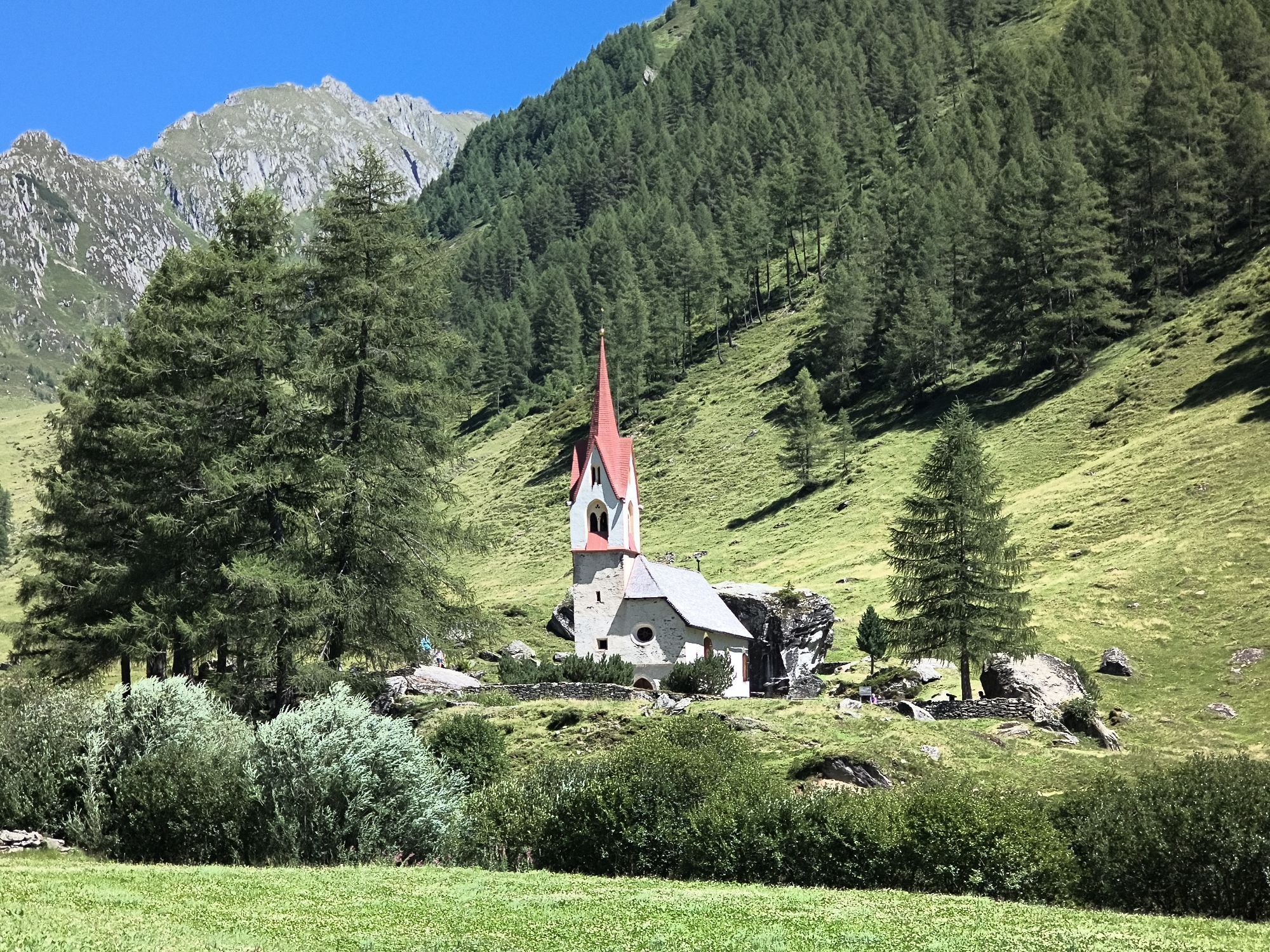
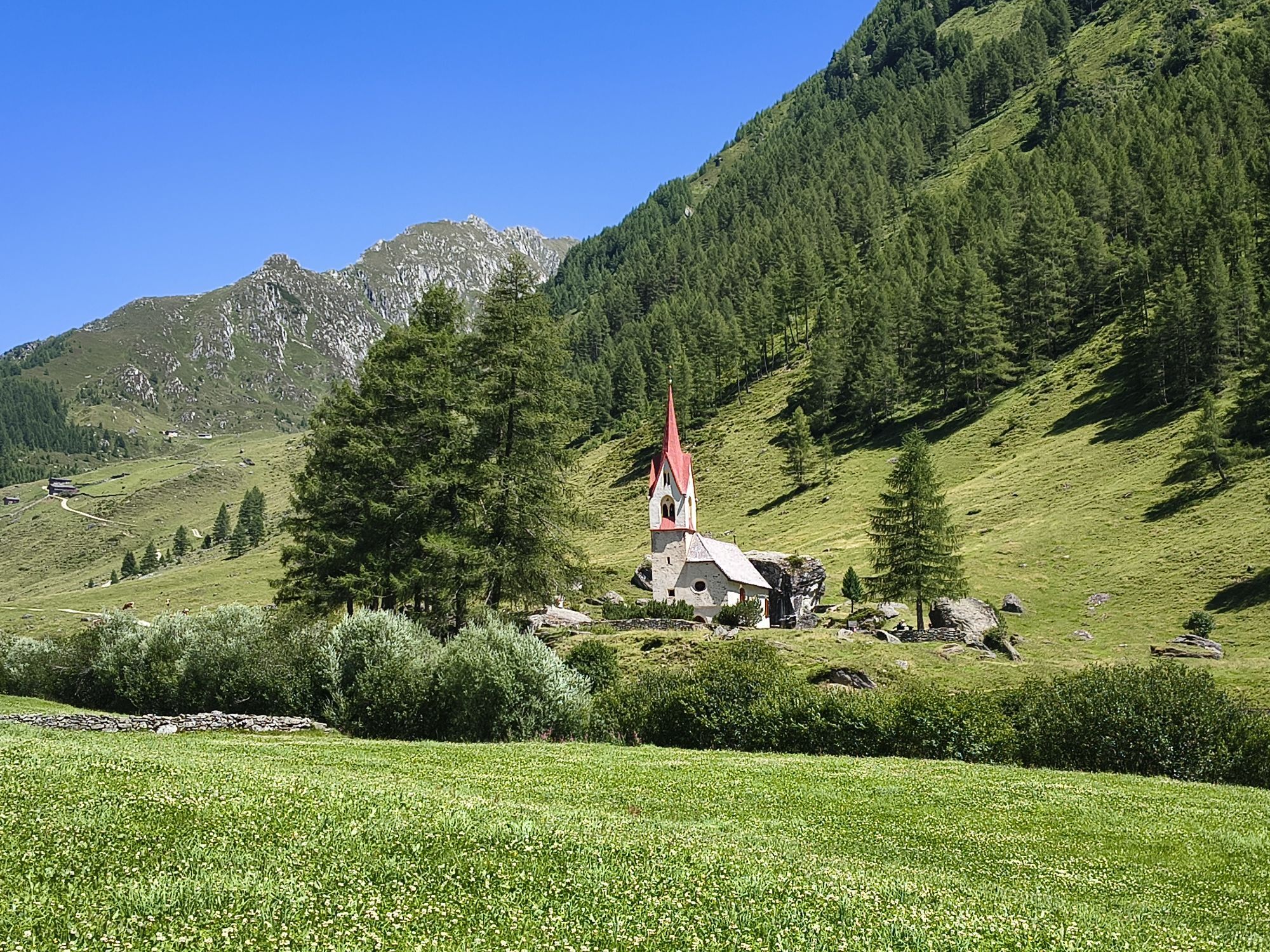
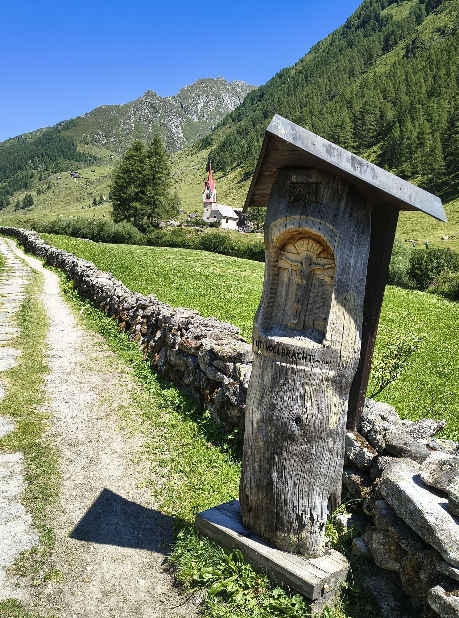
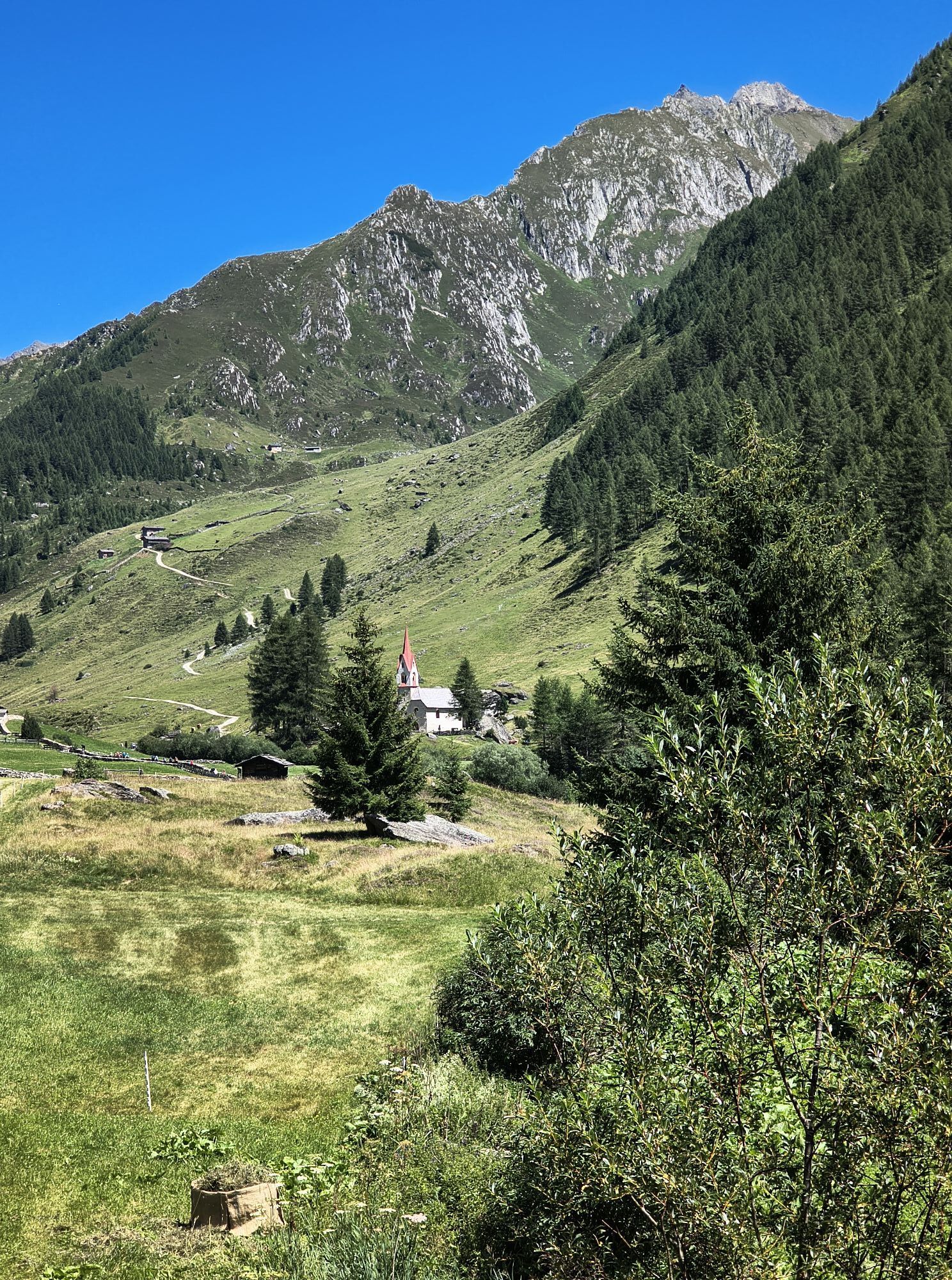
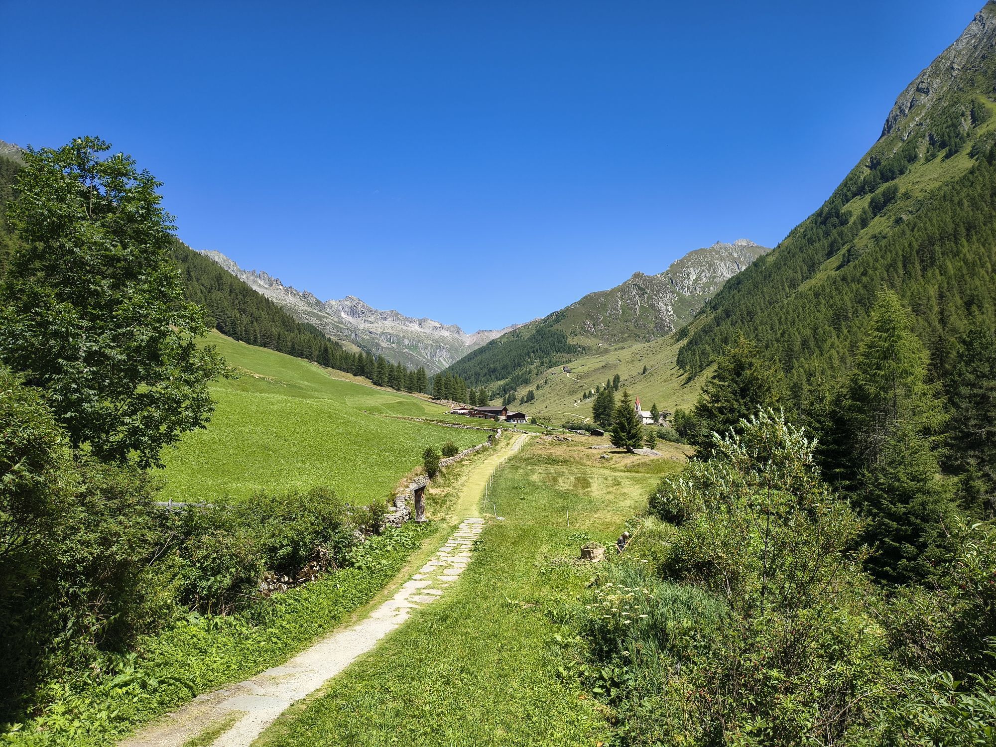
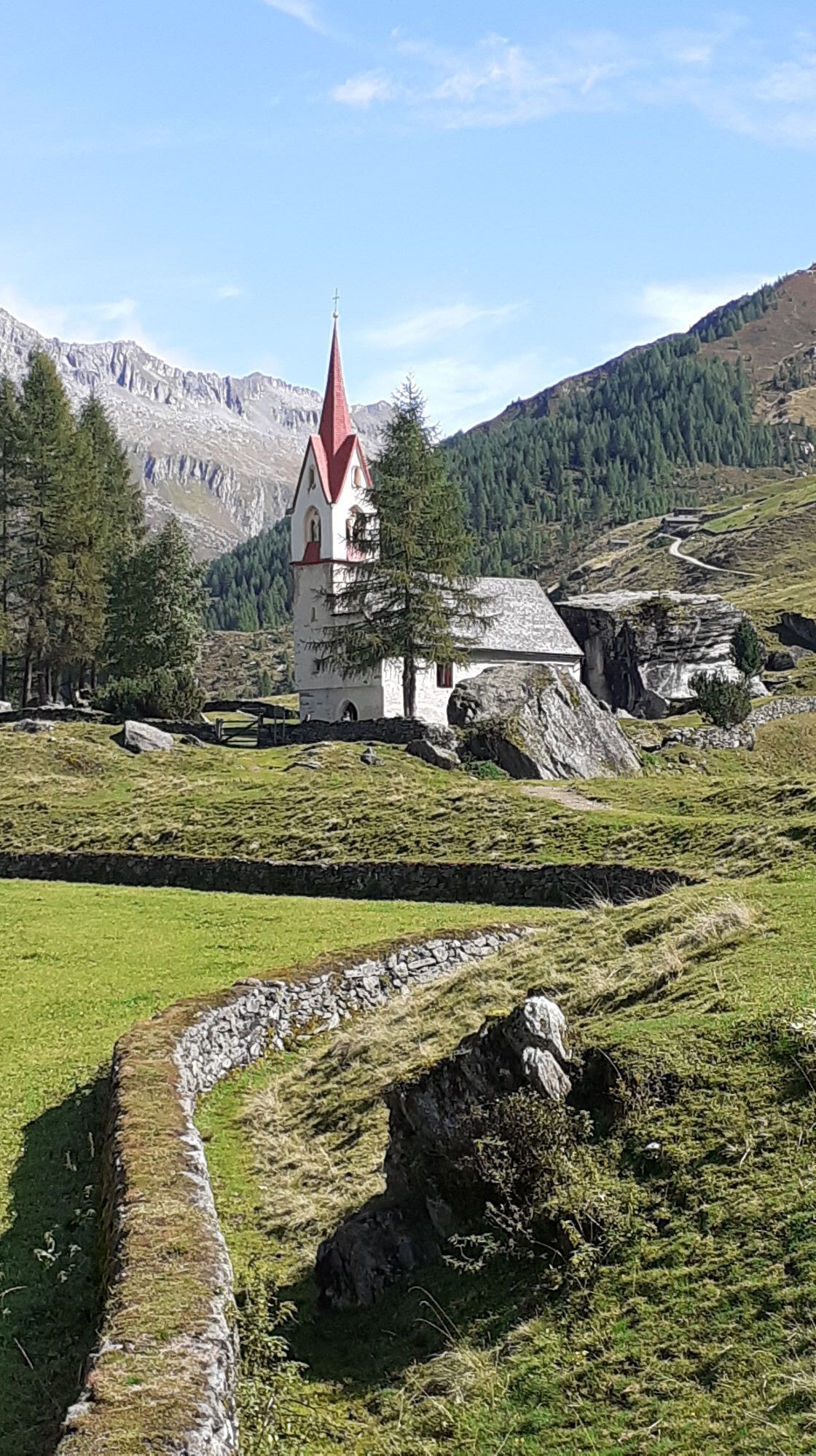
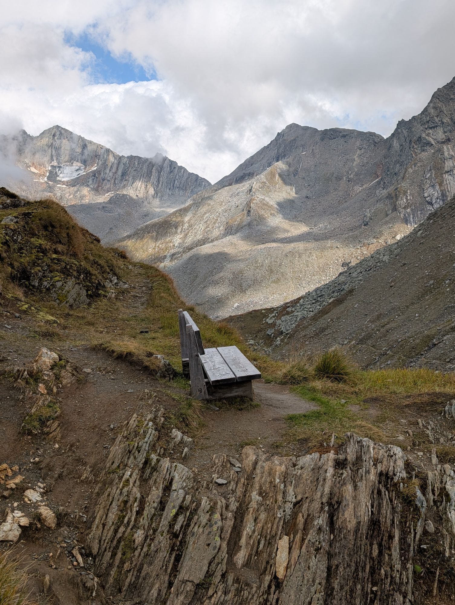
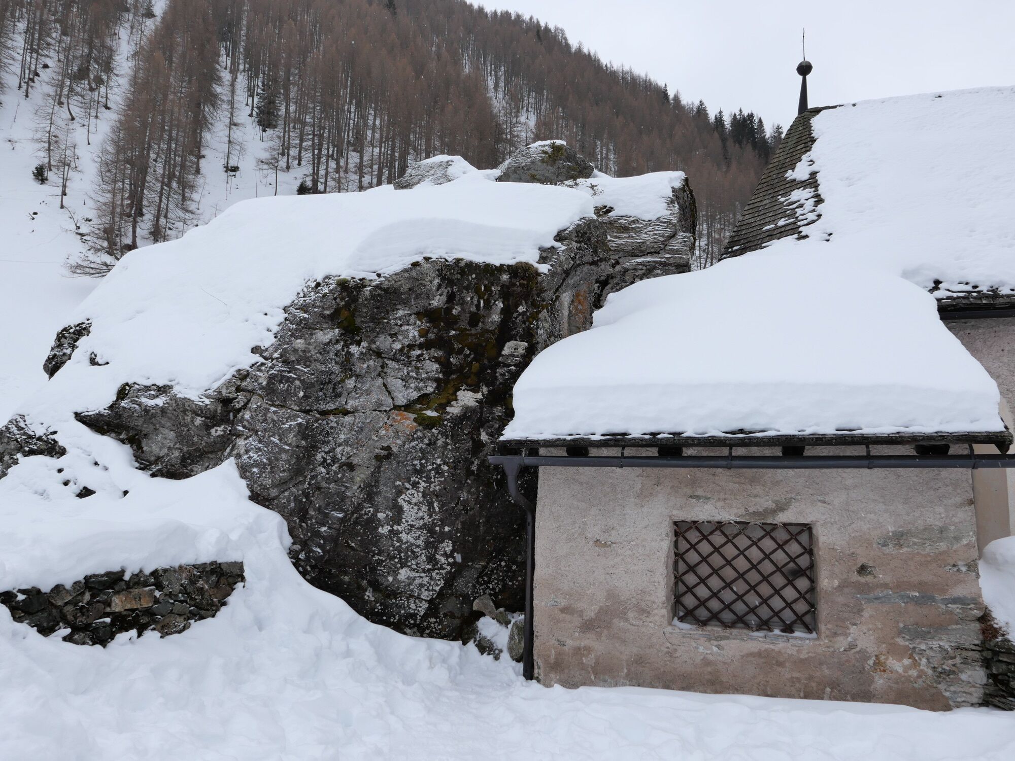
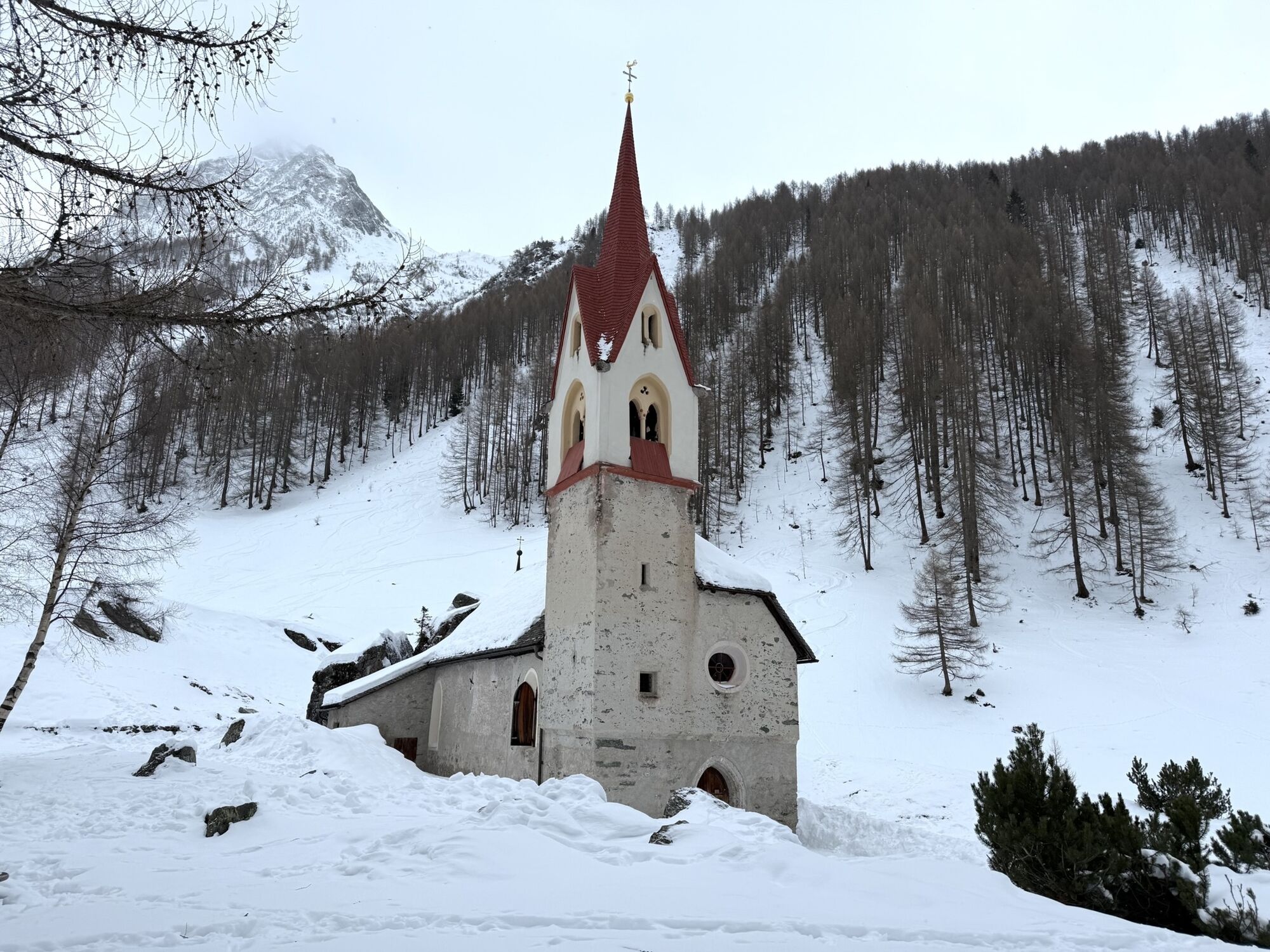
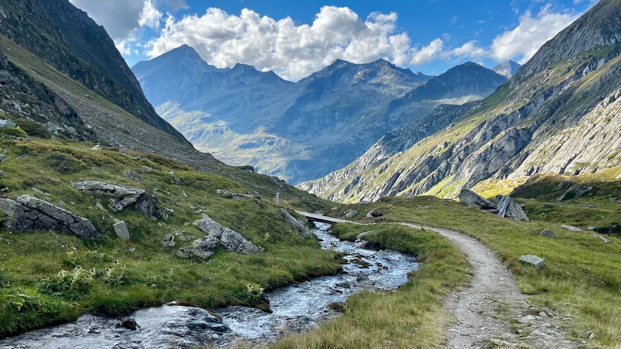
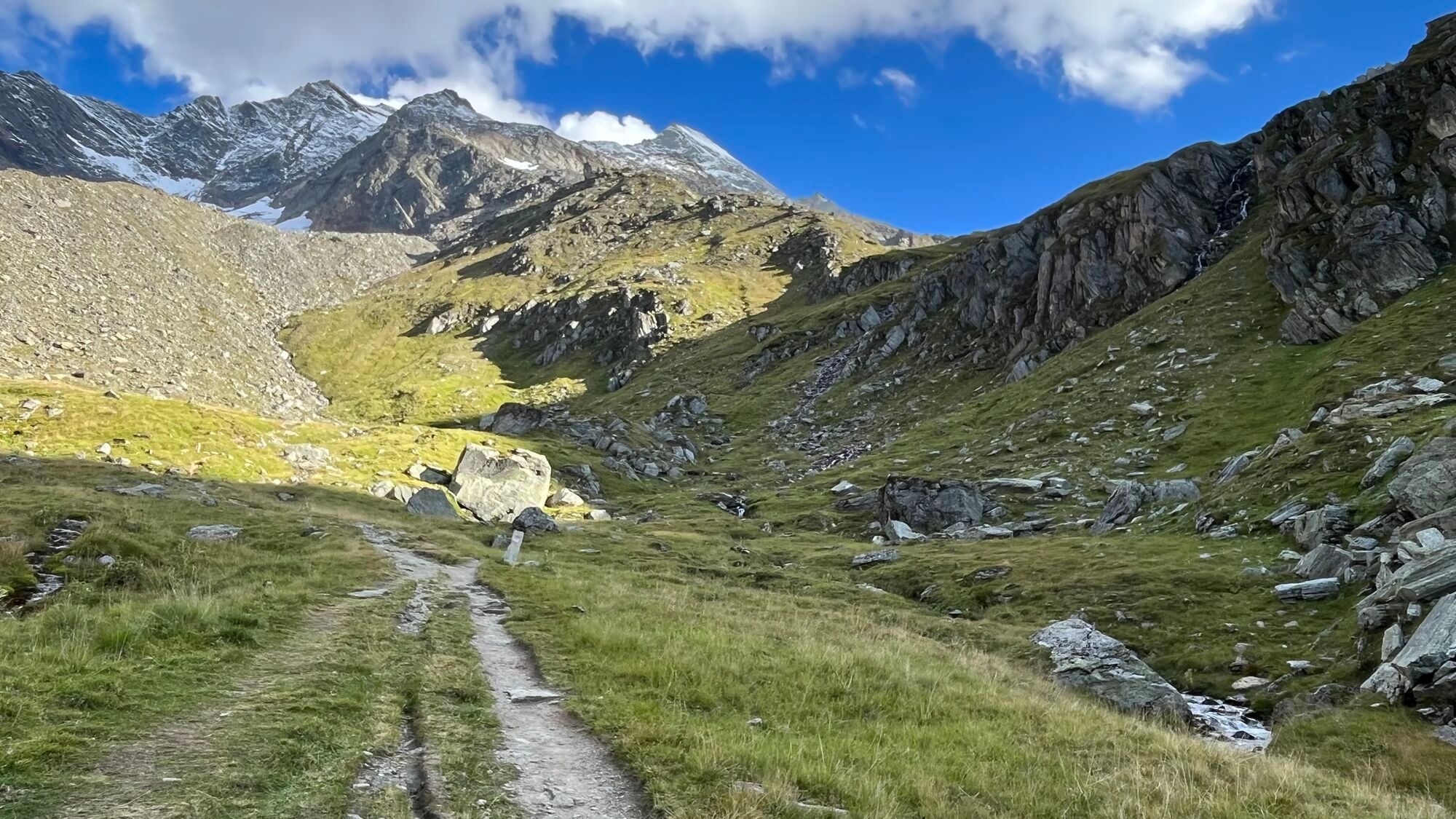
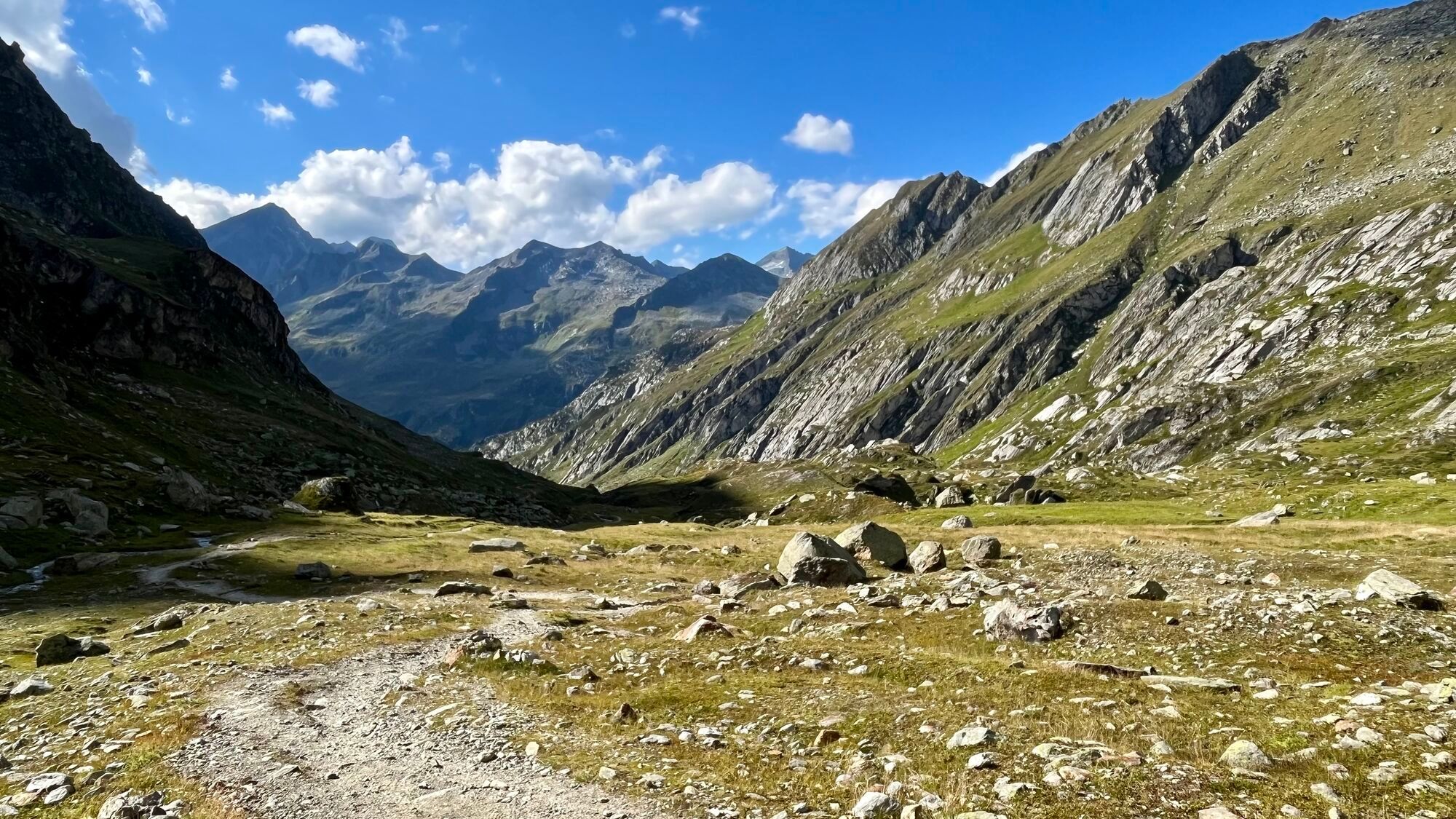
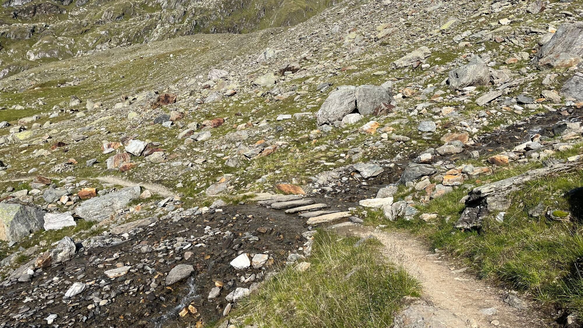
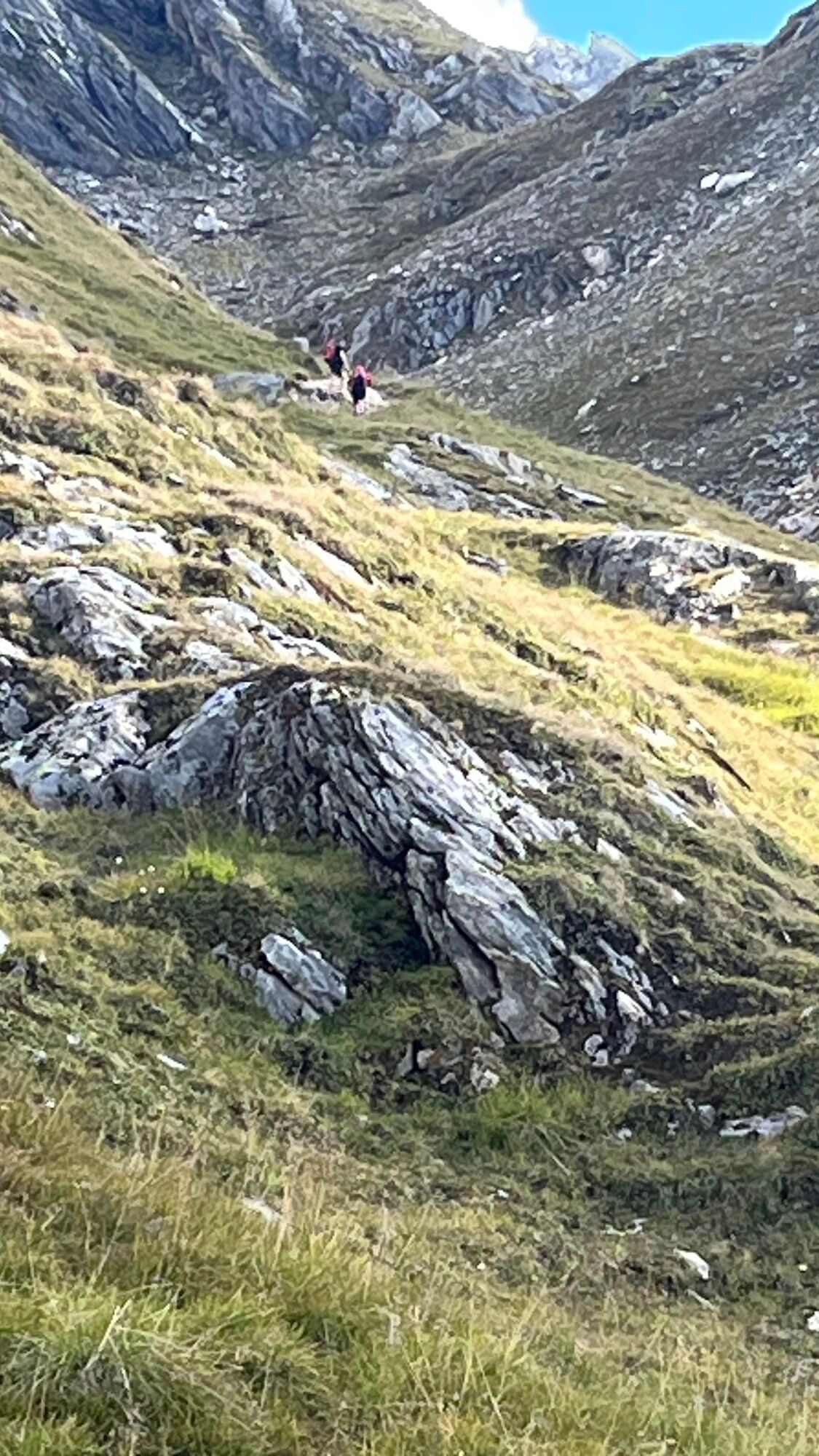
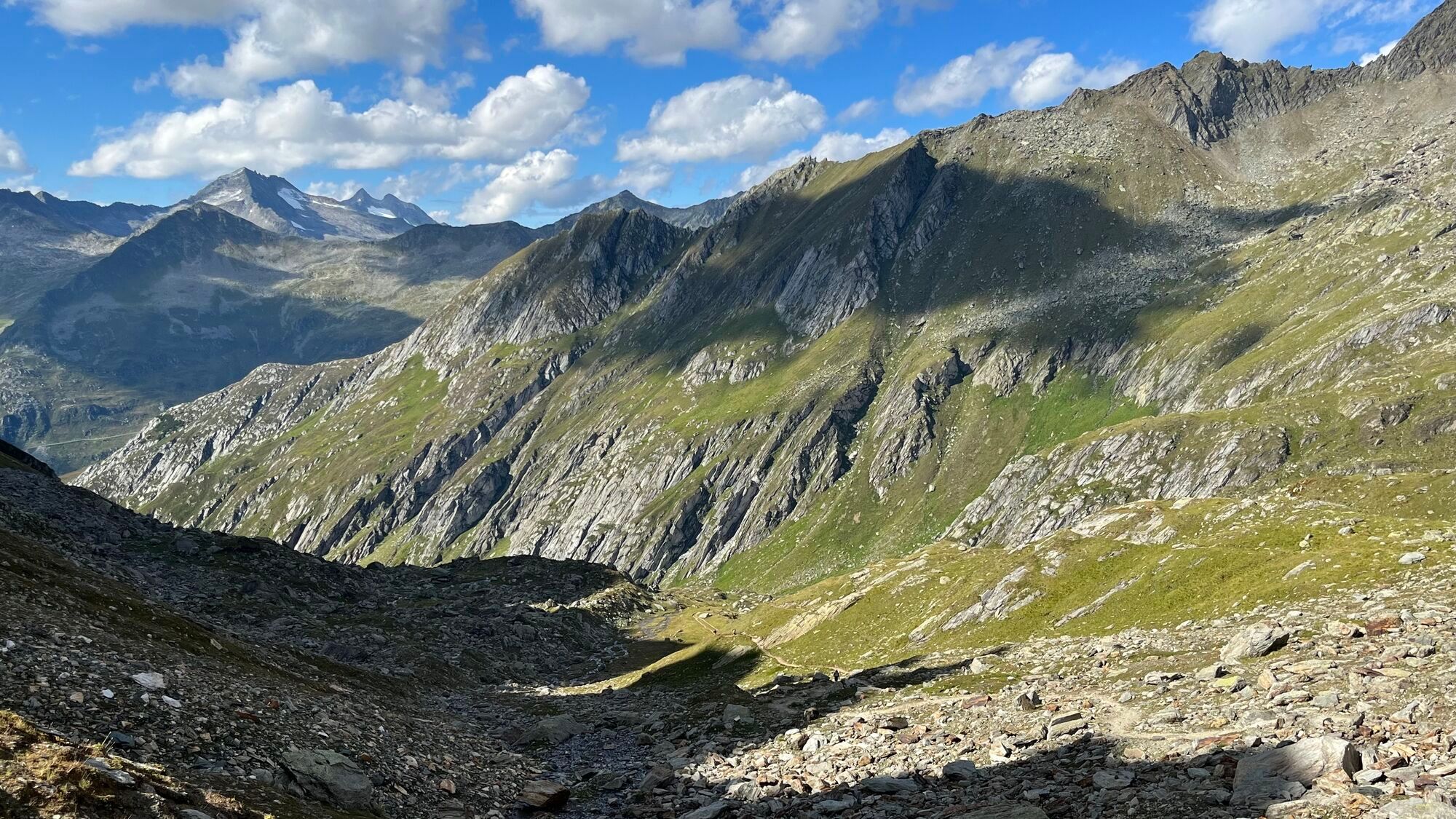
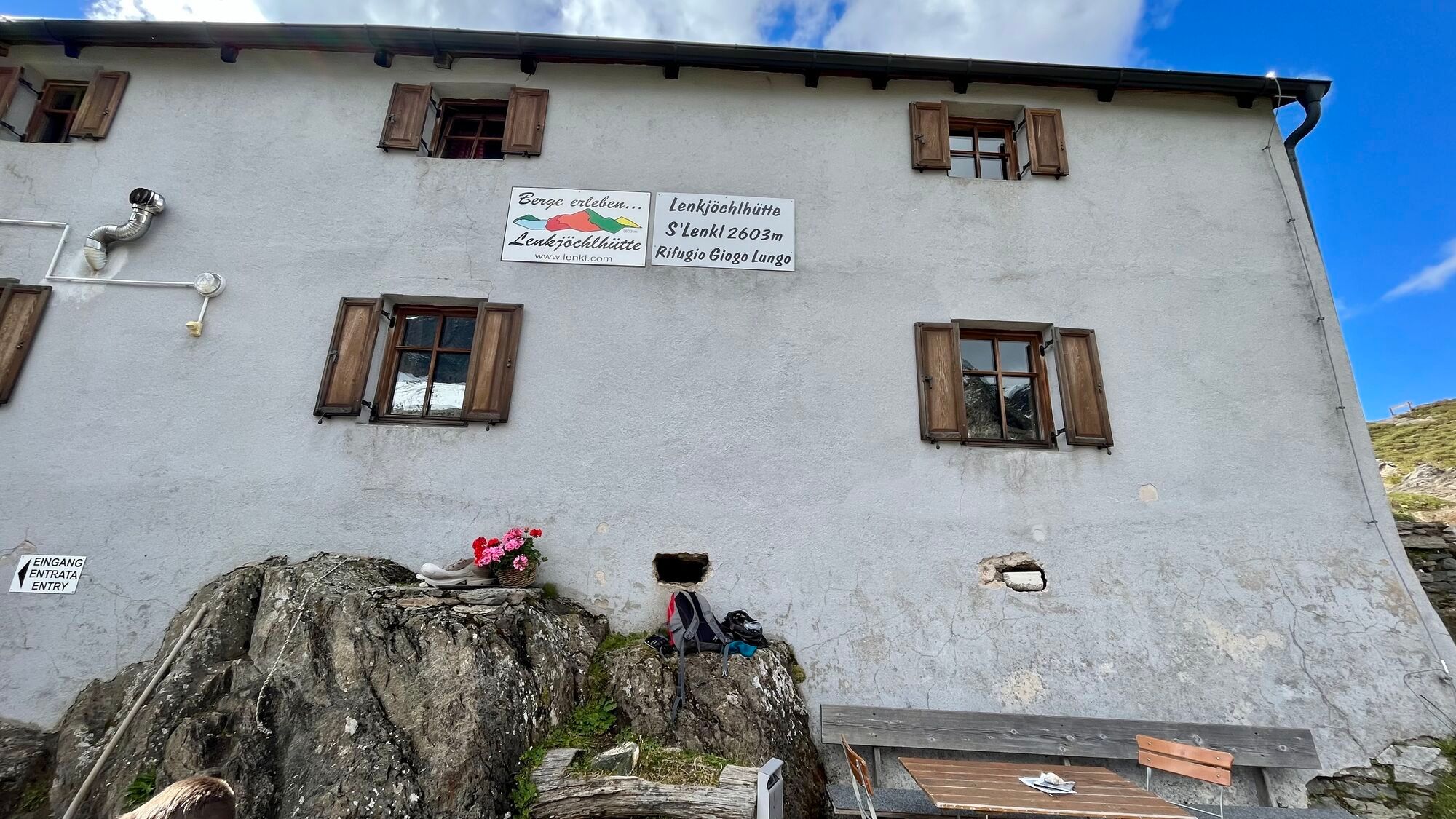
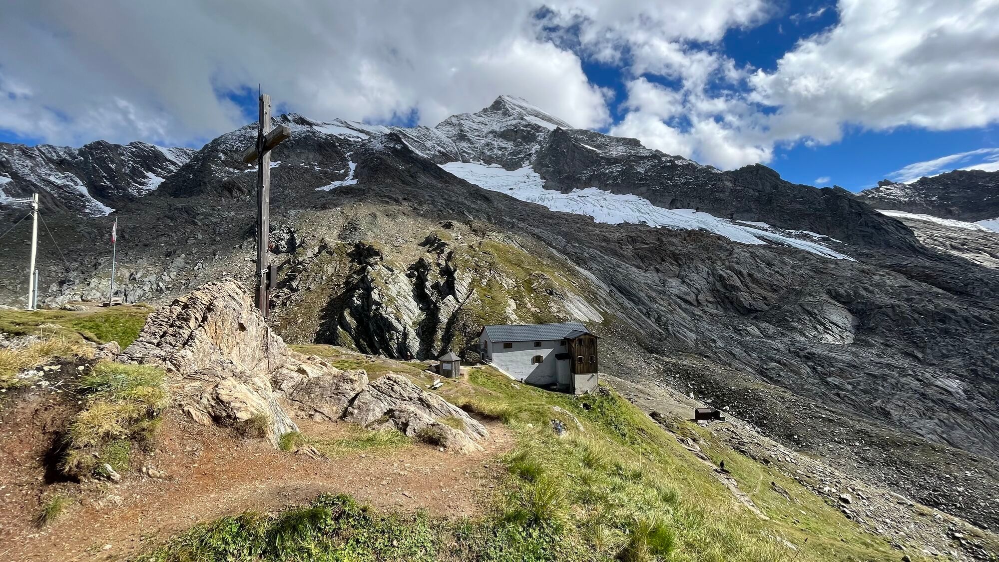
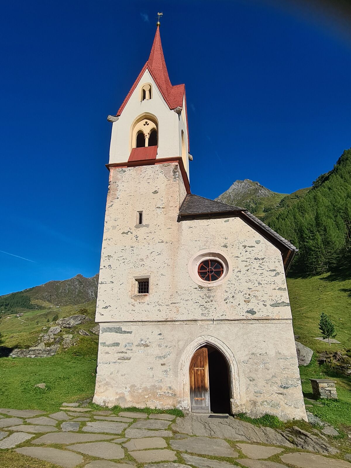
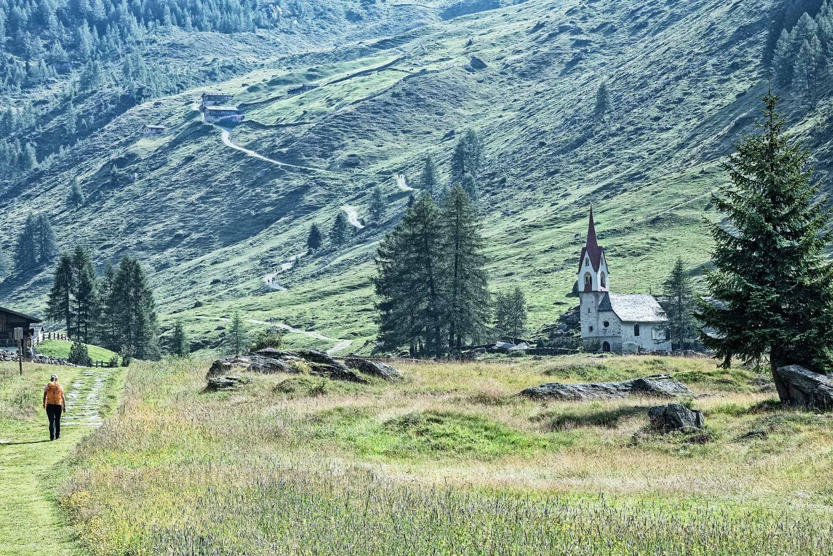
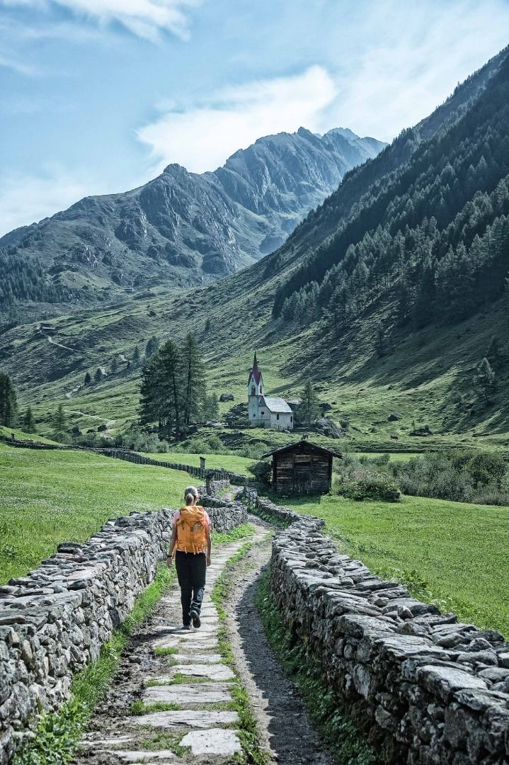
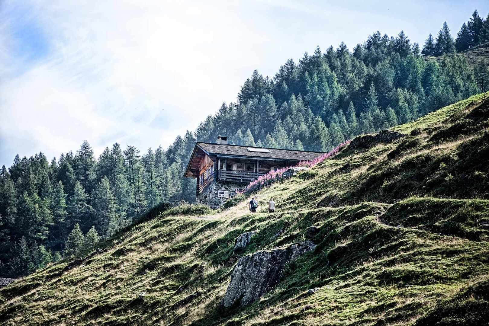
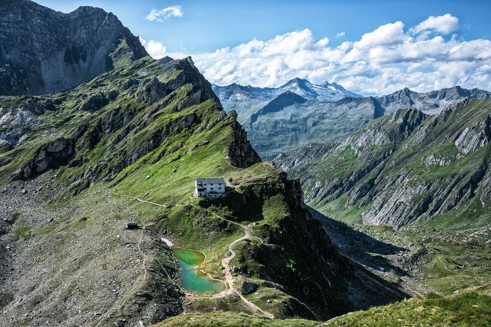
Kasern’s large car park is this trail’s starting point. From here, walk towards the Ahr and the various signposts. One of them will point the way to the Lenkjöchlhütte. Walk across the mountain meadows, venturing deeper into the valley, until the path meets the main road near the “Heilig Geist”, a church which was a pilgrimage destination in the past. Cross the Ahr river and take a left (follow the signpost). Continue climbing on the path to the Labesaualm. Cross the Windtal on the well cared for path on a leisurely walk until you reach a fork just below the Lenkjöchlhütte. Take a right (signpost to the Lenkjöchlhütte) and ascend to the hut.


Basic equipment for mountain hiking includes sturdyâ¯hikingâ¯boots with a good tread, a 30-35 liter backpack, and functional clothing based on the layering principle, including sufficient spare clothes. Essential items are rain, cold, and sun protection, adequate fluids and food, as well as a first-aid kit and a charged mobile phone. A map or a GPS device supports orientation.
The information serves as a guideline and does not claim to be exhaustive. Equipment must always be adapted to theâ¯planned route, weather conditions, season, natural hazards, environmental influences, and personal needs.
Parkplatz Kasern (Prettau)


Activités le long du parcours


Parcours populaires à proximité
-
4,8
NaturKraftWeg Umbalfälle
facileChemin thématique 5,99 km -
4,8
Refuge Zittauer
moyenRandonnée 6,85 km -
4,4
Krimmler Tauernhaus
moyenRandonnée 10,4 km -
4,8
Stoden - Clarahütte
moyenRandonnée 7,12 km -
4,9
Krimmler Achental
moyenE-Bike 18,4 km -
4,6
Krimmlerwasserfälle
moyenRandonnée 10,5 km -
4,9
Oberhausalm - Jagdhaushütte
facileRandonnée 14,0 km -
5,0
Krimml: Zum Krimmler Tauernhaus
VTT 12,4 km -
4,4
Krimml Waterfalls
moyenRandonnée 12,4 km -
4,4
Seespitze
moyenRandonnée 13,7 km
Randonnée et suivi


Ne manquez pas les offres et l'inspiration pour vos prochaines vacances
Votre adresse électronique a été ajouté à la liste de diffusion.





