




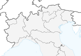


Ski Tour: Hochhorn in Colle/Gsieser Tal Valley

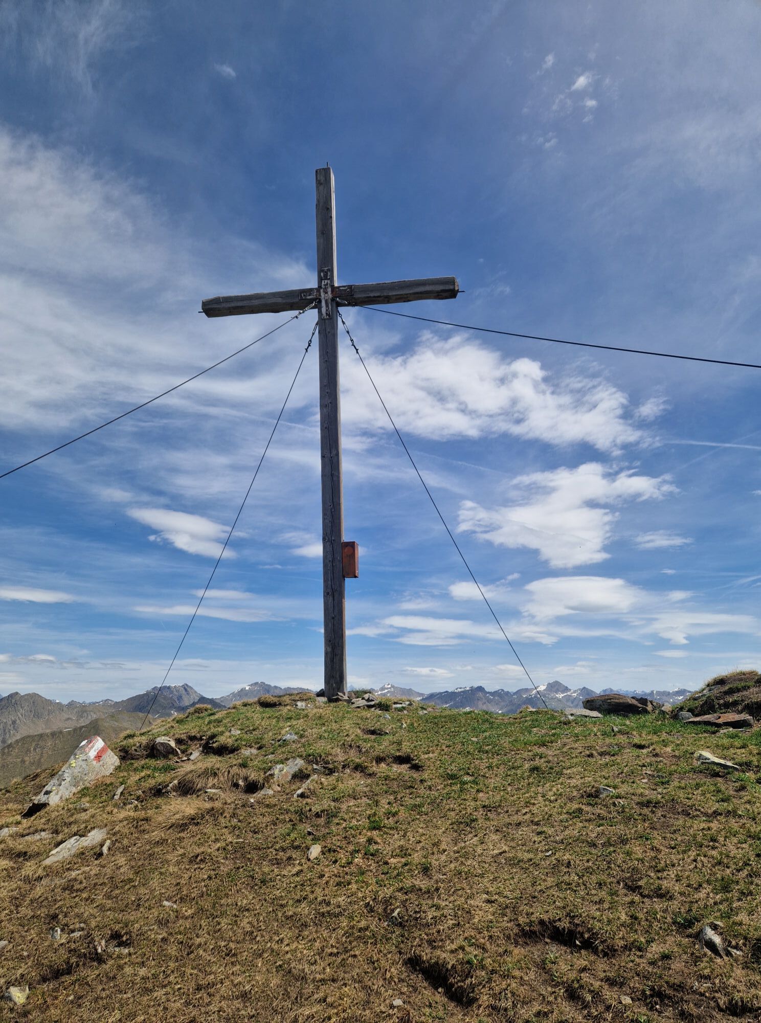
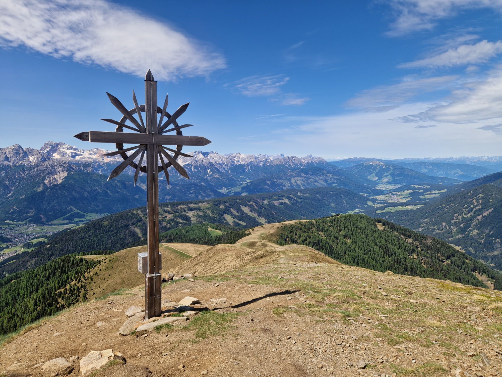
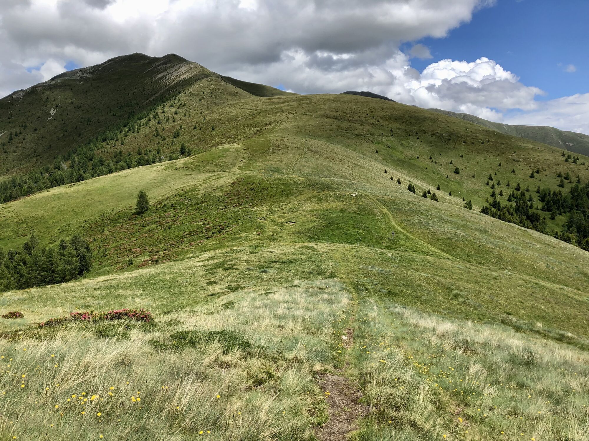
From Unterplanken, go eastwards, passing the small chapel of St. Florian and hike uphill along the forest path number 91, on the orographic right side of the stream. After about 45 minutes, the path leading...
From Unterplanken, go eastwards, passing the small chapel of St. Florian and hike uphill along the forest path number 91, on the orographic right side of the stream. After about 45 minutes, the path leading to Oberplanken intersects; continue on that path briefly, then turn left walking into the direction of the Schuher Alm by leaving the actual path and walking uphill on the left side of the mountain stream directly through light spruce forest. At an altitude of 1751 m, cross an alpine path and continue across wide meadows to the Schuher Alm at 1958 m, enjoying the surrounding panorama of the Dolomites. This route now continues southwards on the famous “Toblacher Höhenweg” number 24; catch sight of the Rosszogel 2163 m and the Stacher Riedl 2173 m on your left. Now continue over a wide ridge to the Golfen at 2493 m and for the really ambitious it is another 30 minutes to the actual destination of the hike, the Hochhorn at 2623 m.


 Obtenez un aperçu
Toujours en direct avec plus de 9.500 webcams. En tant qu'utilisateur Pro, vous pouvez désormais voir les webcams correspondantes à de nombreuses randonnées dans l'application de randonnées de bergfex. Vous pouvez ainsi voir directement les conditions actuelles.
Obtenez un aperçu
Toujours en direct avec plus de 9.500 webcams. En tant qu'utilisateur Pro, vous pouvez désormais voir les webcams correspondantes à de nombreuses randonnées dans l'application de randonnées de bergfex. Vous pouvez ainsi voir directement les conditions actuelles.

Parcours populaires à proximité
-
4,6
Mountain hike to Mountain „Lutterkopf and Durakopf (2145/2275m)“
moyenRandonnée en montagne 11,8 km -
4,8
Antholzer See - Steinzger Alm
moyenRandonnée 7,48 km -
4,7
Rund um den Schwarzberg in die Bergwelt vom Pragser Wildsee
moyenRandonnée 9,59 km -
4,8
Seerunde
facileRandonnée 2,66 km -
4,7
Rund um den Antholzer See
facileRandonnée 4,27 km -
4,6
Rote Wand
moyenRandonnée d'altitude 12,0 km -
4,8
Von Kalkstein auf das Toblacher Pfannhorn (2.663 m) und Marchkinkele
moyenRandonnée 14,2 km -
4,1
Helm und Sillianer Hütte
facileRandonnée 8,17 km -
4,9
Dolomiten - Seekofel 2.810m - Tiefblick zum See
moyenRandonnée en montagne 23,5 km -
5,0
Plätzwiese
moyenRandonnée 11,2 km
Randonnée et suivi


Ne manquez pas les offres et l'inspiration pour vos prochaines vacances
Votre adresse électronique a été ajouté à la liste de diffusion.





