







Gstoder (2.140m)
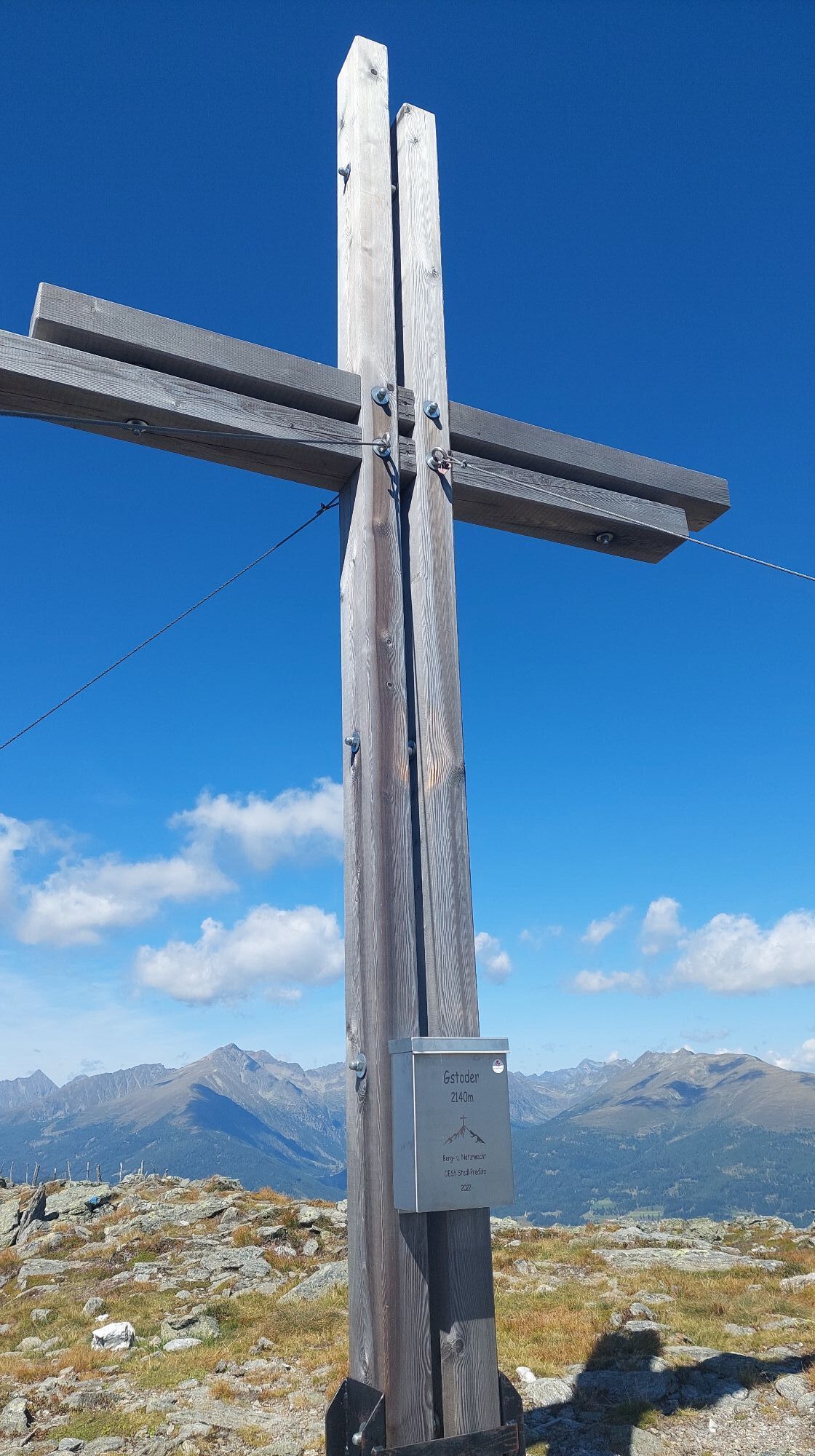
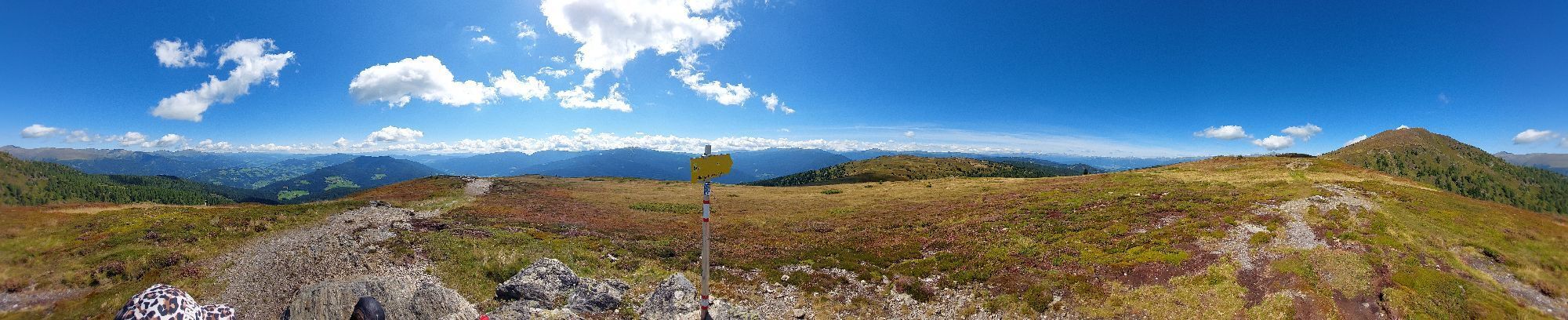
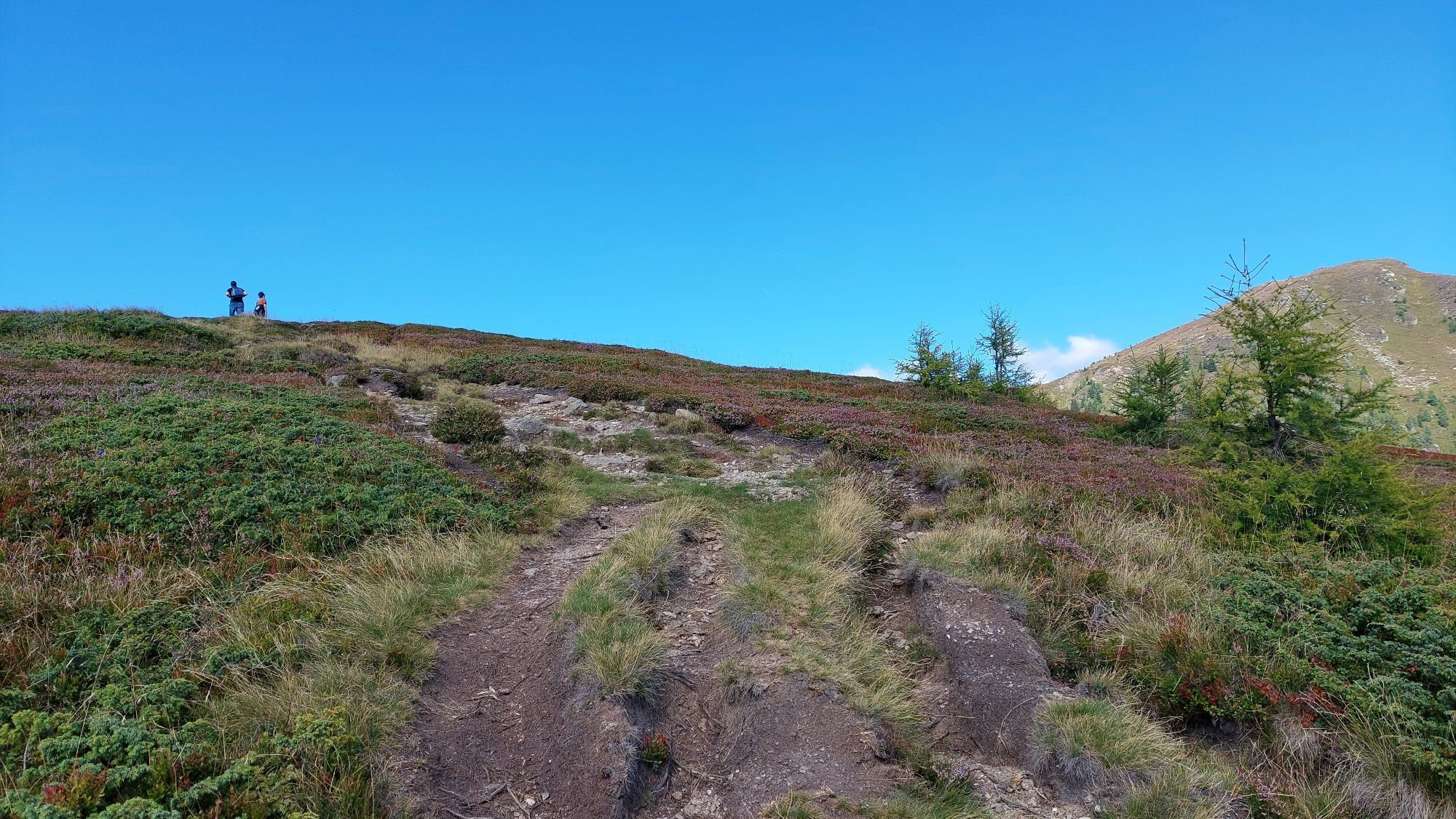
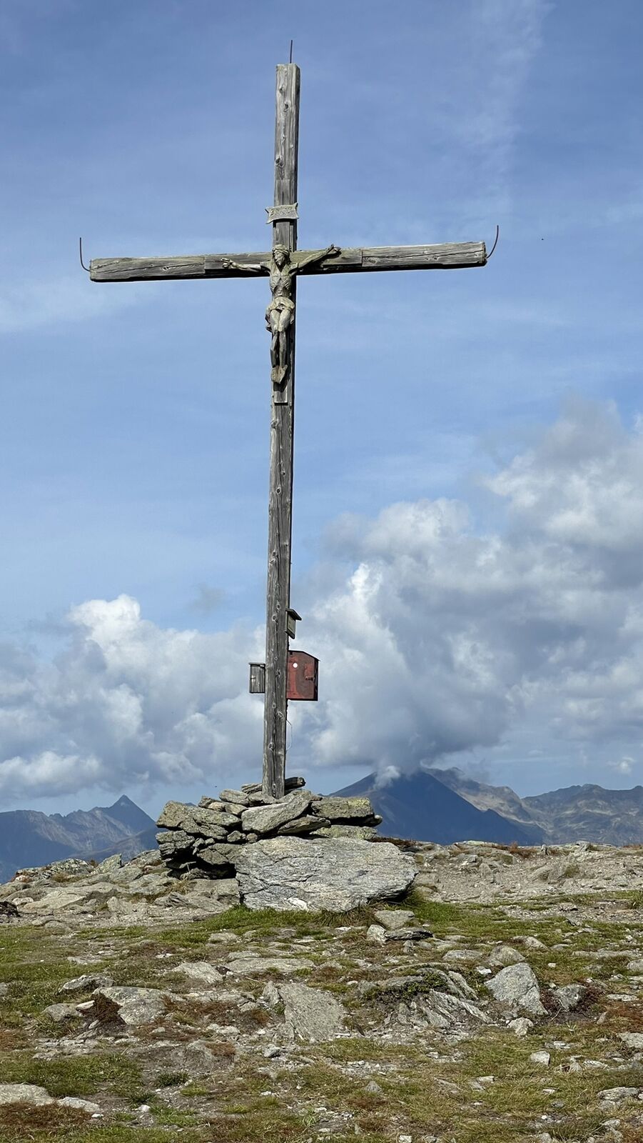
At 2,140 meters above sea level, the Gstoder is the highest peak of the Mur mountains, which in turn represent a small mountain range of the Central Alps. The border between Salzburg and Styria runs across...
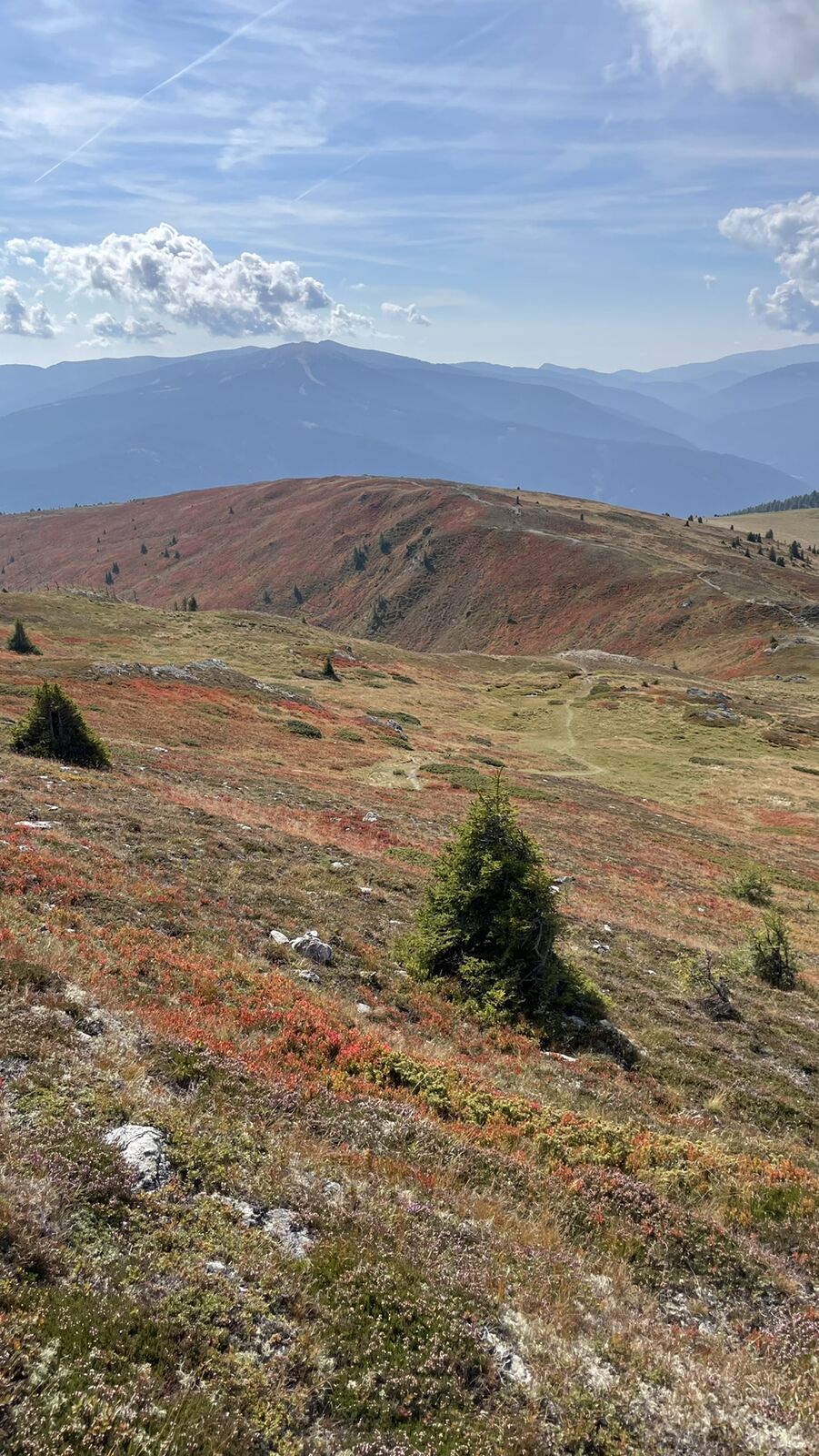
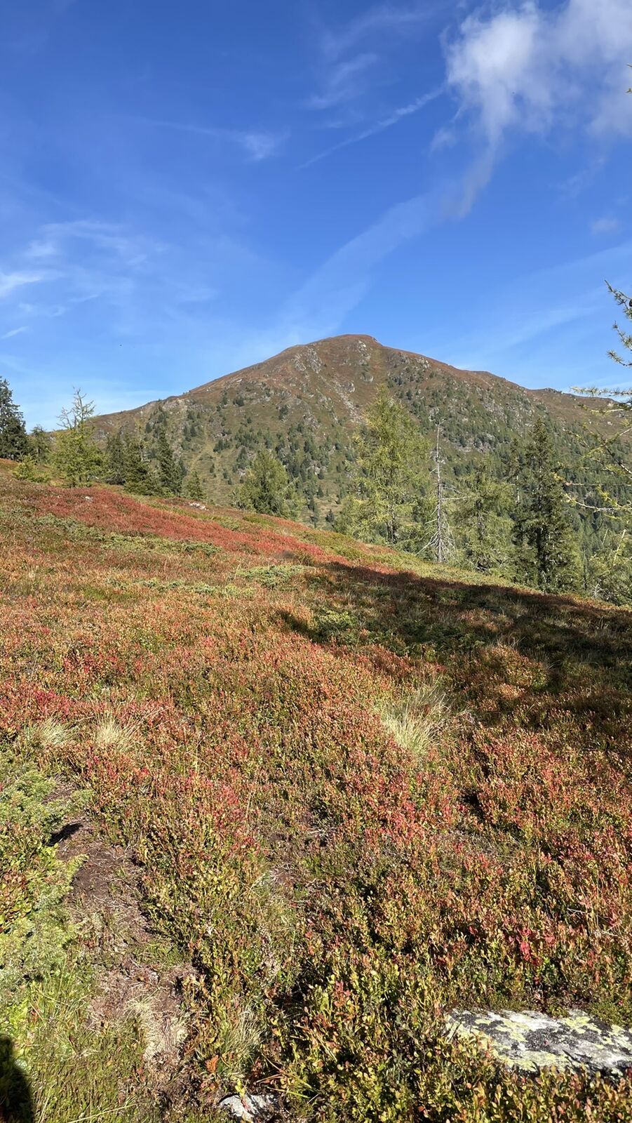
At 2,140 meters above sea level, the Gstoder is the highest peak of the Mur mountains, which in turn represent a small mountain range of the Central Alps. The border between Salzburg and Styria runs across the summit. Due to its location at the easternmost end of the Lungau region, the mountain is also nicknamed the "border guard". South of the striking pyramid-shaped peak, which is built of mica schist, there is a large plateau above the tree line with the Dörfler Alm and the Payeralm. The Gstoder is also attractive for hikers because of its isolated location, which guarantees a wide panoramic view on nice days. From the plateau below the summit you can already see the valleys all around, like the Katschtal and the Krakautal and up to the neighboring Lungau. The alpine pastures on the Styrian-Salzburg border guarantee a particularly enjoyable hiking experience, which is also suitable for families with children.



Oui
Sturdy high shoes with a grippy sole and protection against rain and cold are very important.
This tour is easily accessible by train and bus.
At the Jogaushütte (not managed) 1,755m. Approach from St. Ruprecht via a toll road possible.

Parcours populaires à proximité
- 4,2
Preber summit hike
moyenRandonnée 14,9 km - 4,8
Rundweg Murauer hütte-Frauenalp, Steiermark/Österreich
moyenRandonnée 9,07 km - 4,6
Gstoder
moyenRandonnée 4,72 km - 4,3
Frauenalpe
facileRandonnée 5,90 km - 4,5
Bauleiteck
moyenRandonnée 12,4 km - 3,6
Zwieflerseen - Sölkpass
moyenRandonnée 7,63 km - 5,0
Prebersee und Halterhütte
moyenRandonnée 8,20 km - 4,7
Preber Wanderung
facileRandonnée 12,3 km - 3,6
Krakauebene - Etrachlake
facileRandonnée 5,24 km - 4,5
Eisenhut
difficileRandonnée 4,95 km
Randonnée et suivi


Ne manquez pas les offres et l'inspiration pour vos prochaines vacances
Votre adresse électronique a été ajouté à la liste de diffusion.





