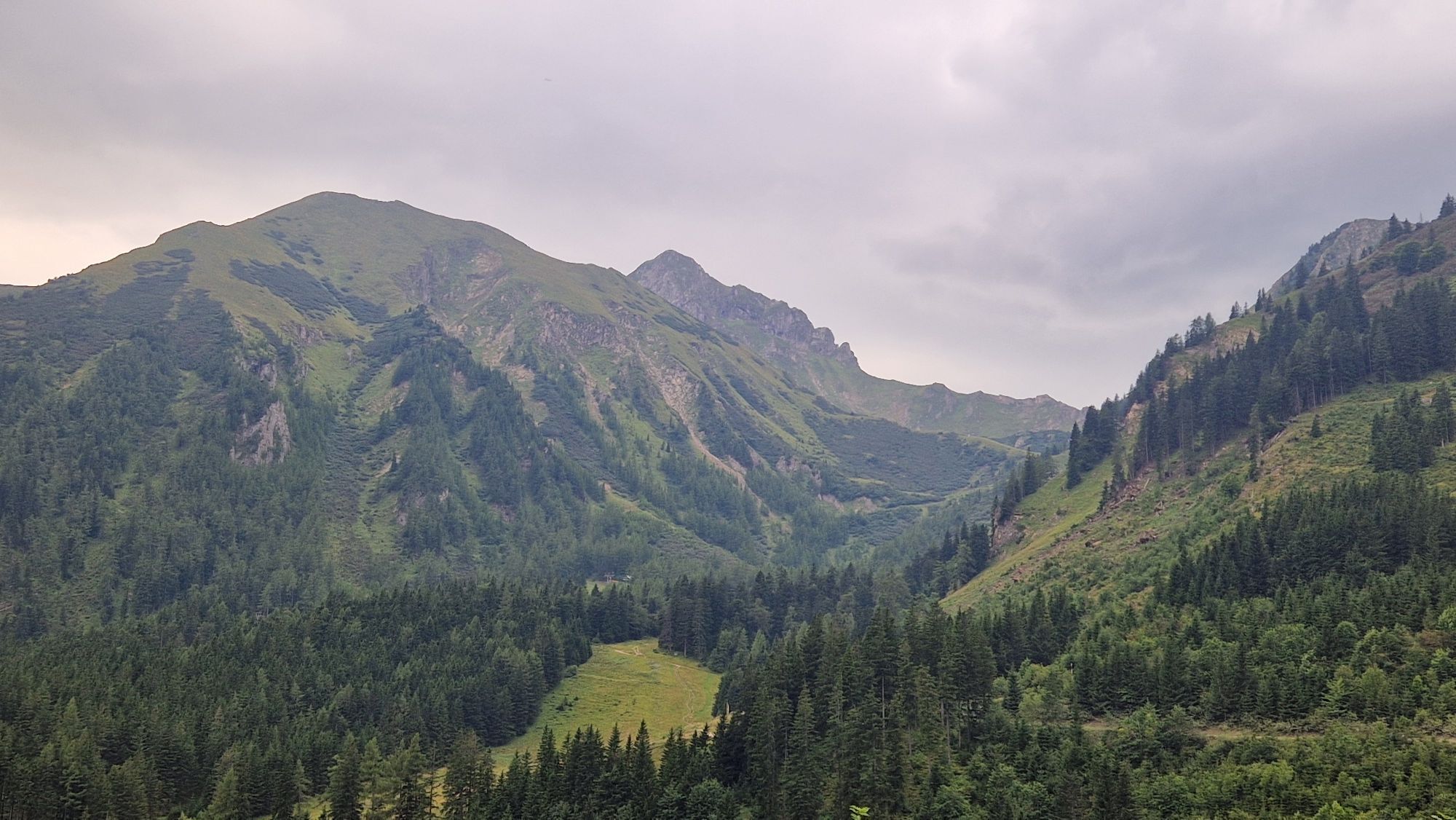
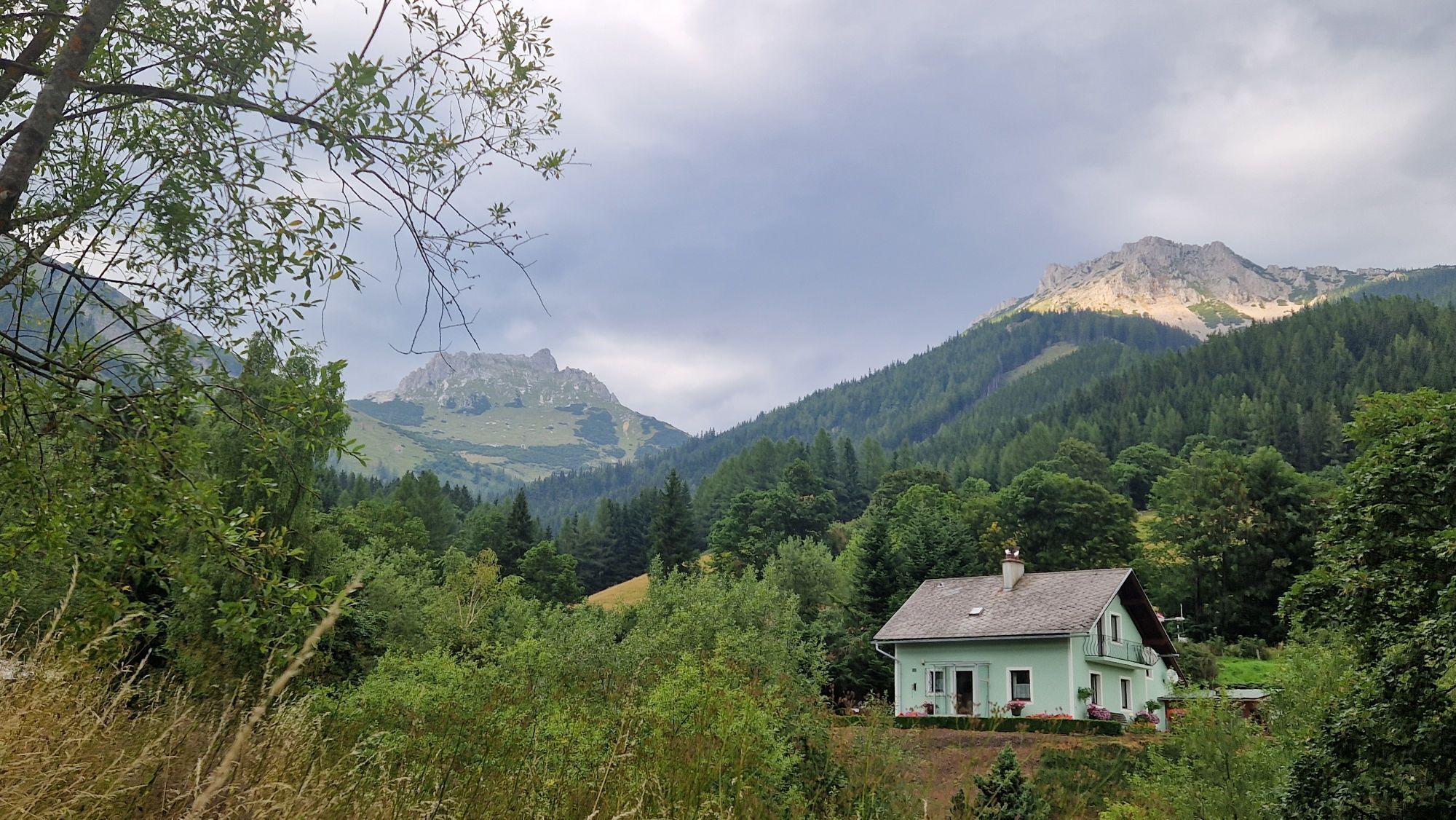
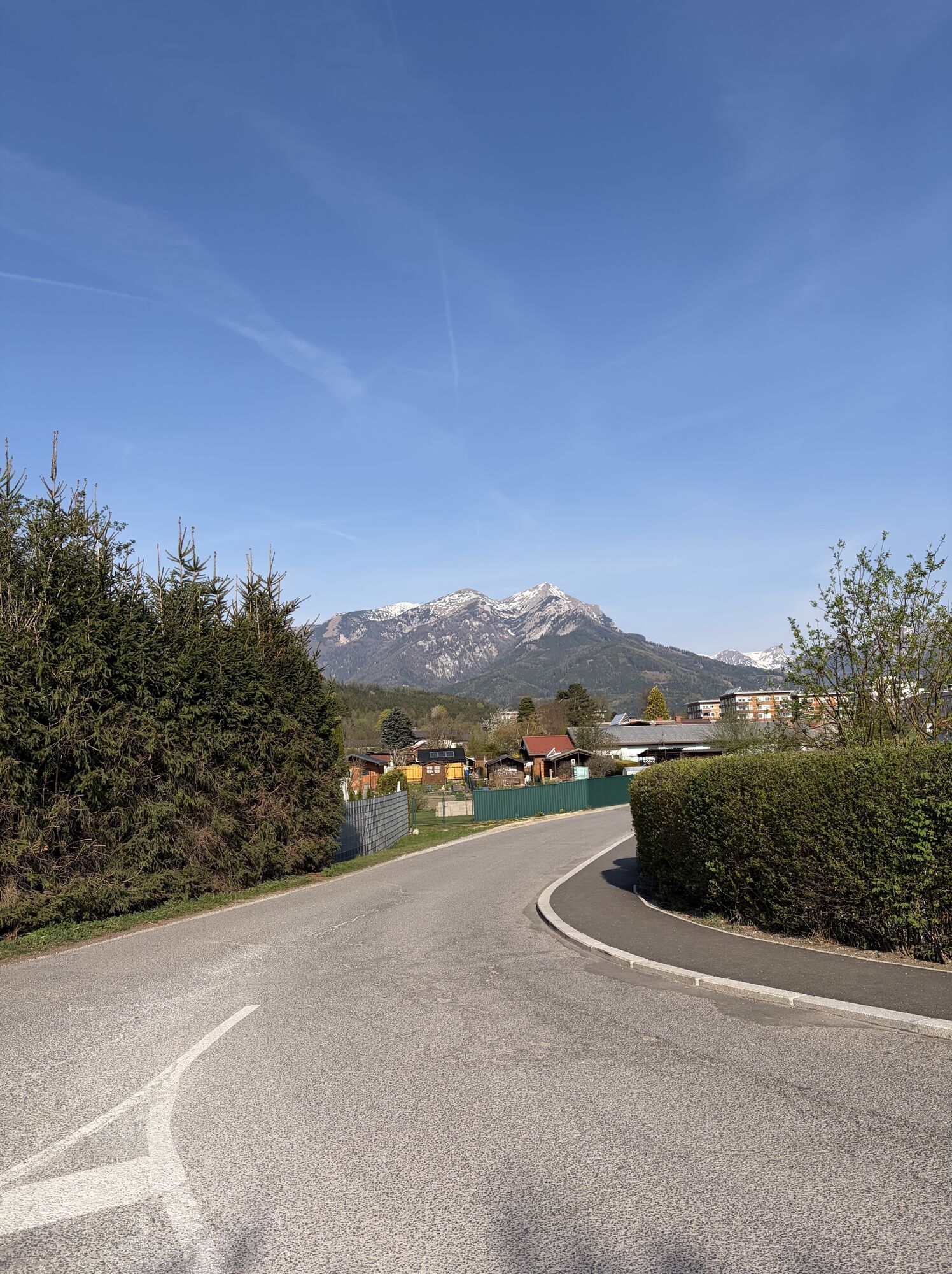
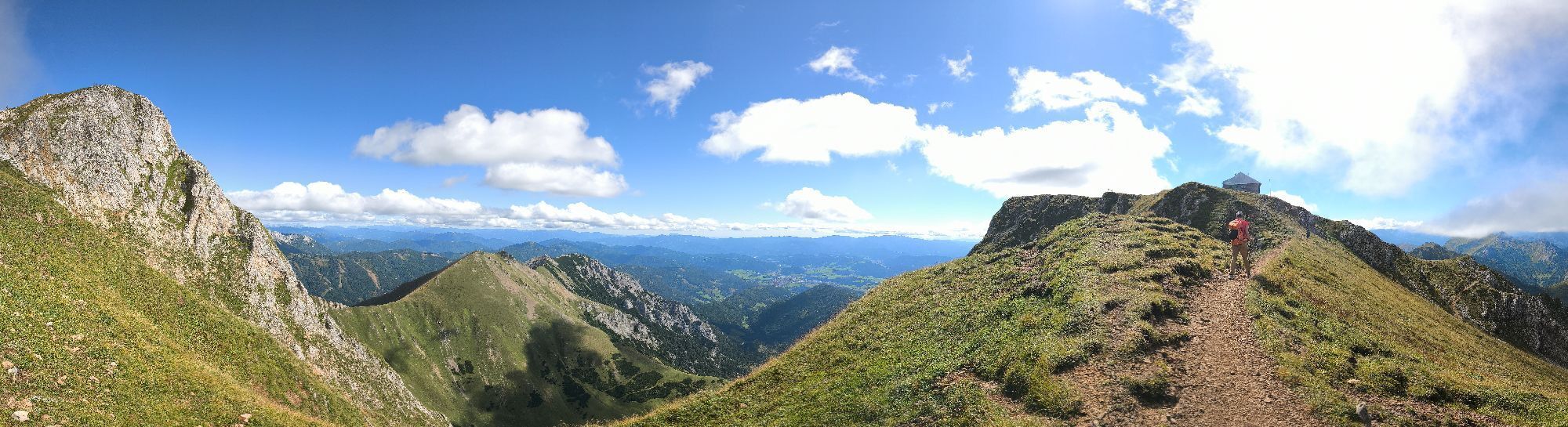
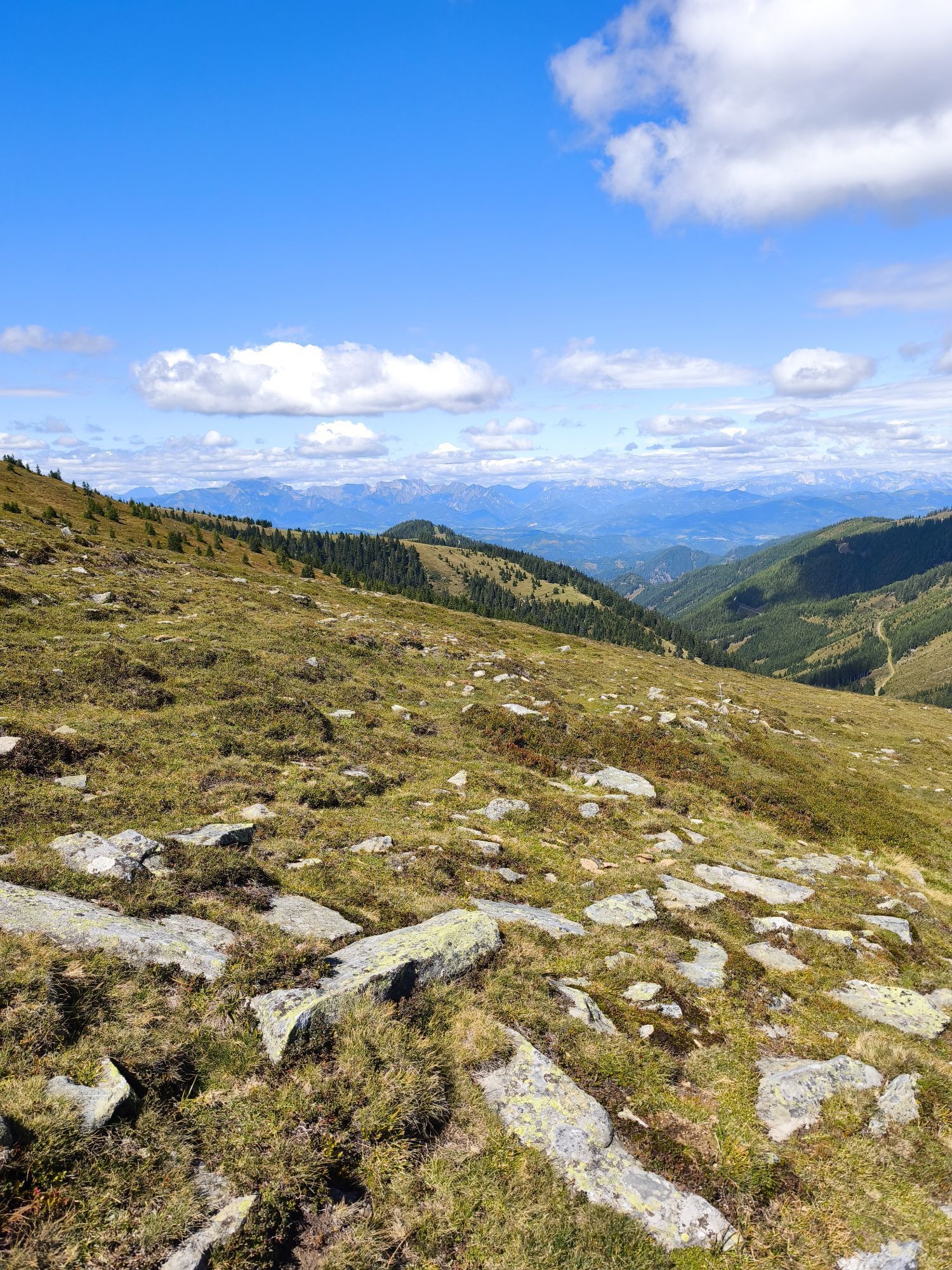
Pfarrkirche hl. Johannes der Täufer - Pfarrkirche hl. Nikolaus - Dreifaltigkeitskirche - Filialkirche hl. Laurentius
difficile
Télécharge cette visite sur ton portable
Pfarrkirche hl. Johannes der Täufer - Pfarrkirche hl. Nikolaus - Dreifaltigkeitskirche - Filialkirche hl. Laurentius
difficile
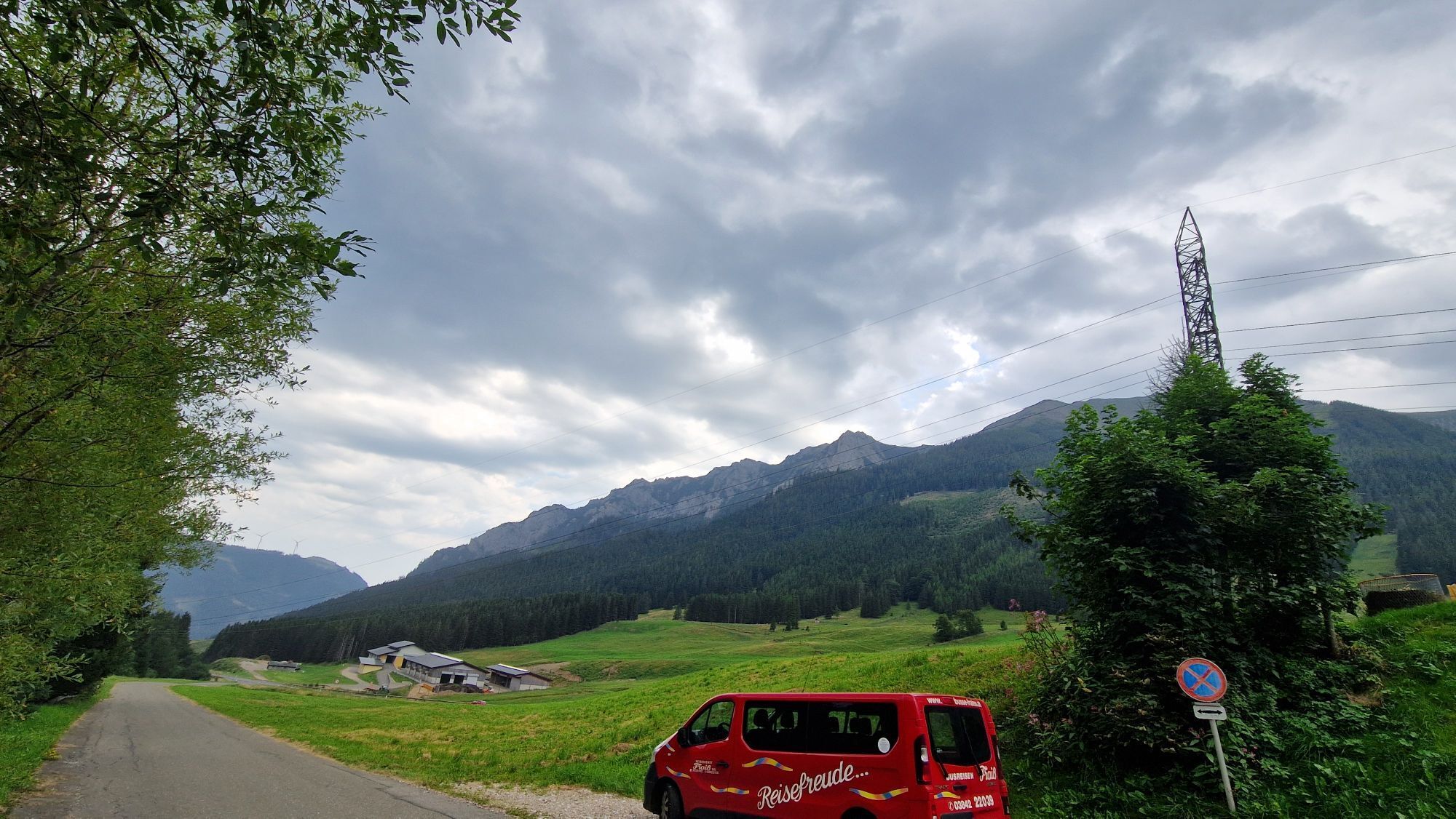
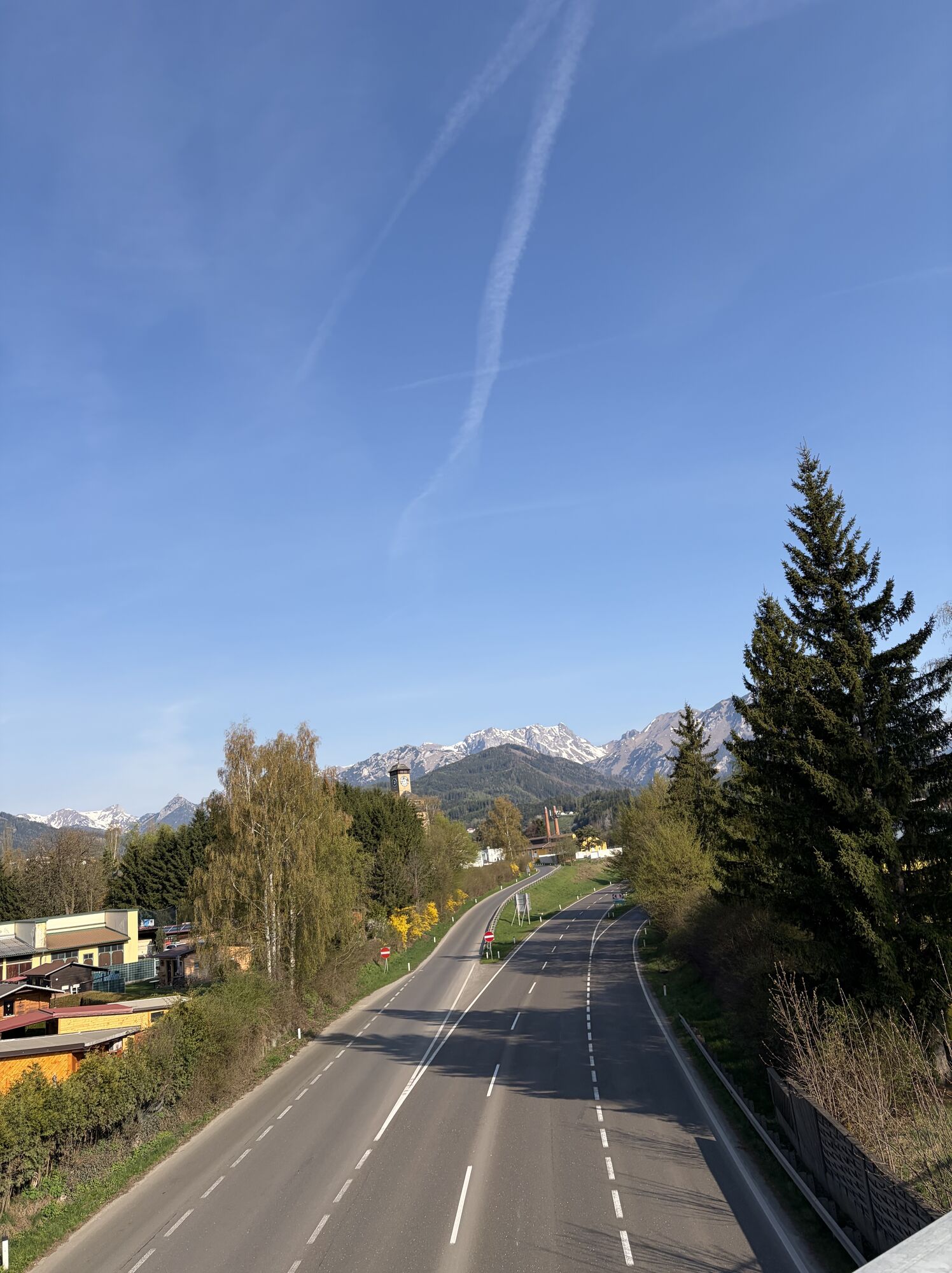
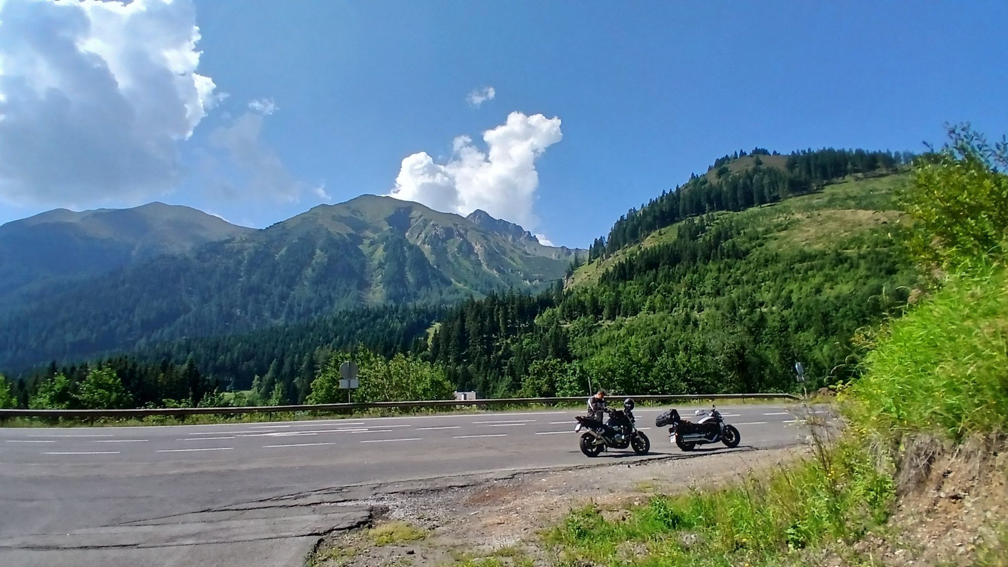
Faire du vélo
54,73
km
Scanner le code QR et commencer la navigation dans l'application bergfex

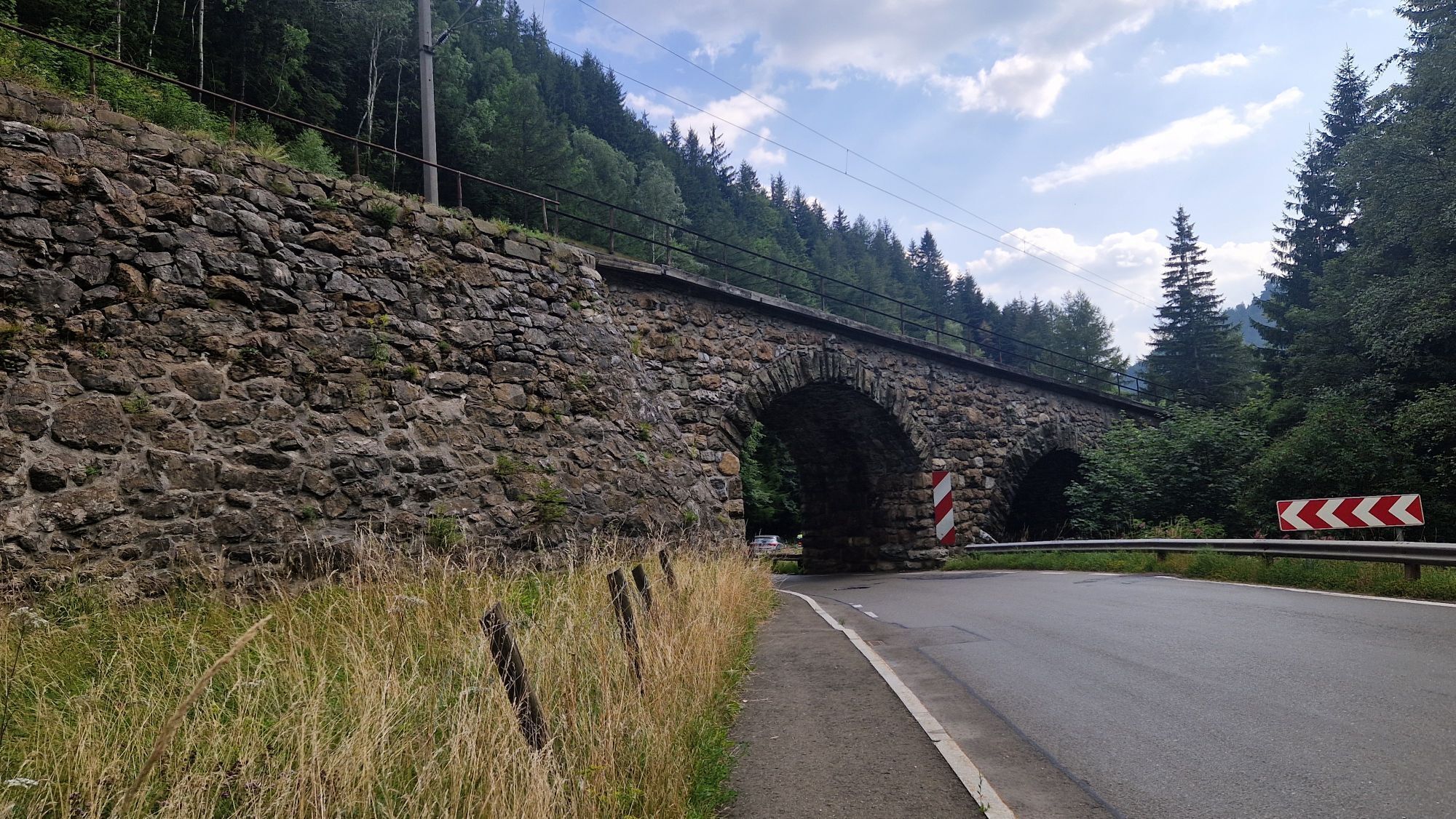
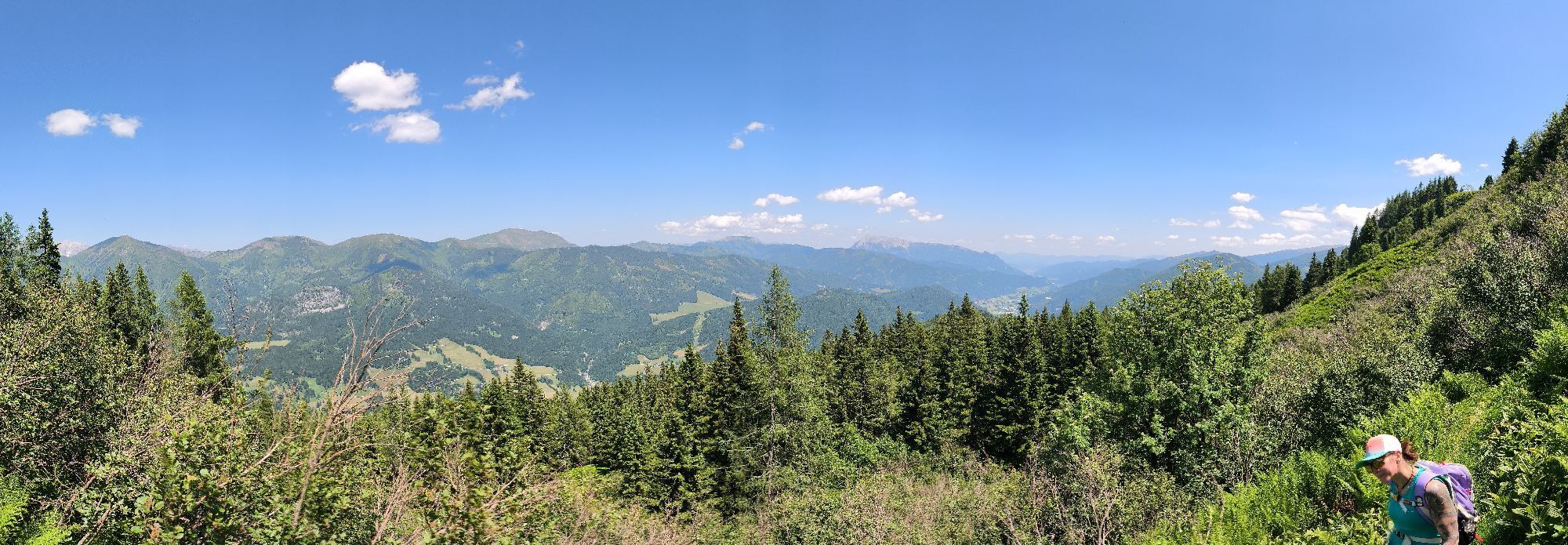
Randonnée & tracking


Pfarrkirche hl. Johannes der Täufer - Pfarrkirche hl. Nikolaus - Dreifaltigkeitskirche - Filialkirche hl. Laurentius
difficile
Distance
54,73
km
Durée
04:23
h
Ascension
902
m
Altitude
619 -
1.225
m
Téléchargement de la piste
Pfarrkirche hl. Johannes der Täufer - Pfarrkirche hl. Nikolaus - Dreifaltigkeitskirche - Filialkirche hl. Laurentius
difficile
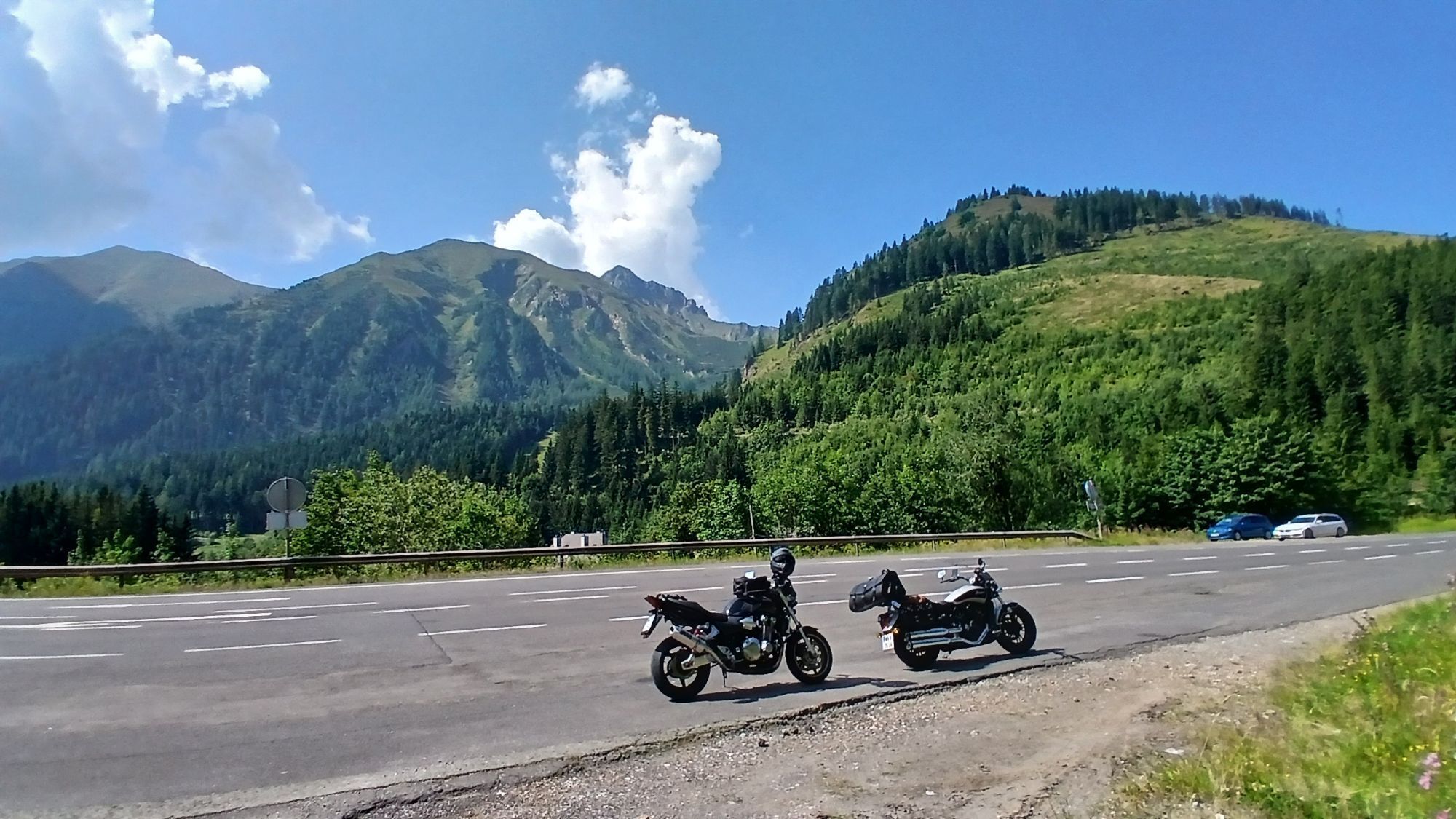
Faire du vélo
54,73
km


Parcours
Pfarrkirche hl. Johannes der Täufer
(664 m)
Lieu de culte
0,1 km
Pfarrkirche hl. Nikolaus
(628 m)
Lieu de culte
7,7 km
Dreifaltigkeitskirche
(654 m)
Lieu de culte
14,9 km
Kath. Pfarrkirche Maria Himmelfahrt
(840 m)
Lieu de culte
23,4 km
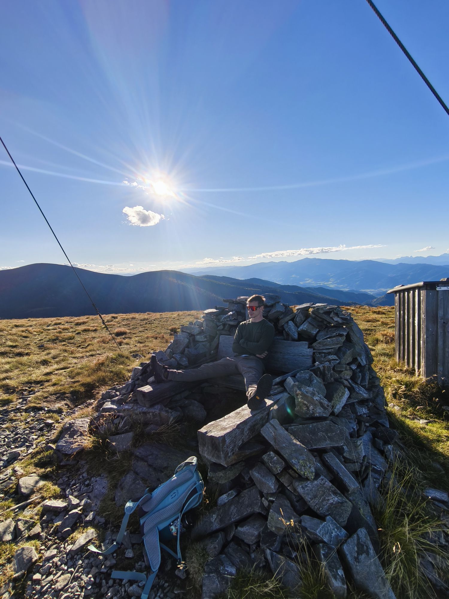
Präbichl
(1.226 m)
Col de montagne
29,1 km
Pfarrkirche St. Rupert
(658 m)
Lieu de culte
43,0 km
Pfarrkirche hl. Johannes der Täufer
(664 m)
Lieu de culte
54,6 km
Parcours
Pfarrkirche hl. Johannes der Täufer - Pfarrkirche hl. Nikolaus - Dreifaltigkeitskirche - Filialkirche hl. Laurentius
difficile
Faire du vélo
54,73
km
Pfarrkirche hl. Johannes der Täufer
(664 m)
Lieu de culte
0,1 km
Kammern im Liesingtal
(672 m)
Village
0,1 km
Pfaffendorf
(642 m)
Lotissement
2,2 km
Wolfgruben
(646 m)
Lotissement
3,5 km
Mötschendorf
(630 m)
Lotissement
4,6 km
Timmersdorfer Schmied'n
(621 m)
Restaurant
5,7 km
Timmersdorf
(619 m)
Village
5,8 km
Petutschnig
(619 m)
Restaurant
7,2 km
Traboch
(620 m)
Village
7,7 km
Pfarrkirche hl. Nikolaus
(628 m)
Lieu de culte
7,7 km
Meisenbichler
(618 m)
Restaurant
7,8 km
Michi’s Seeschenke
(638 m)
Restaurant
9,2 km
Edling
(662 m)
Village
11,4 km
Dreifaltigkeitskirche
(654 m)
Lieu de culte
14,9 km
Trofaiach
(657 m)
Ville
15,2 km
Unterdechler
(686 m)
Restaurant
16,9 km
Hafning
(687 m)
Village
16,9 km
Zum Schwarzen Adler
(819 m)
Restaurant
22,8 km
Gasthof zur Post
(823 m)
Restaurant
22,9 km
Vordernberg
(826 m)
Village
22,9 km
Kath. Pfarrkirche Maria Himmelfahrt
(840 m)
Lieu de culte
23,4 km
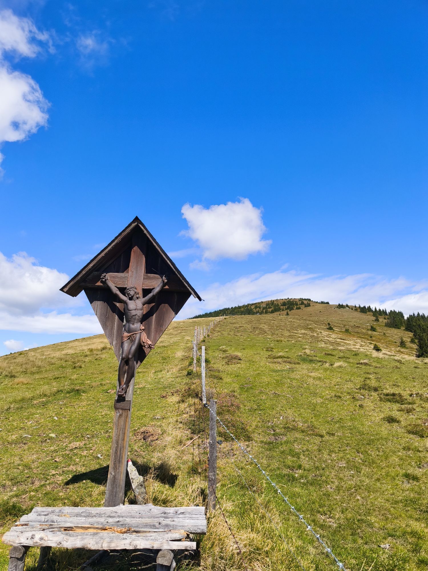
Filialkirche hl. Laurentius
(917 m)
Lieu de culte
24,6 km
Präbichl
(1.226 m)
Col de montagne
29,1 km
Filialkirche hl. Laurentius
(917 m)
Lieu de culte
33,8 km
Kath. Pfarrkirche Maria Himmelfahrt
(840 m)
Lieu de culte
34,9 km
Vordernberg
(826 m)
Village
35,5 km
Gasthof zur Post
(823 m)
Restaurant
35,6 km
Zum Schwarzen Adler
(819 m)
Restaurant
35,7 km
Hafning
(687 m)
Village
41,6 km
Pfarrkirche St. Rupert
(658 m)
Lieu de culte
43,0 km
Trofaiach
(657 m)
Ville
43,4 km
Obergausendorf
(703 m)
Quartier
45,8 km
Gausendorf
(682 m)
Lotissement
46,1 km
Glarsdorf
(702 m)
Lotissement
49,8 km
Kammern im Liesingtal
(672 m)
Village
54,6 km
Pfarrkirche hl. Johannes der Täufer
(664 m)
Lieu de culte
54,6 km
Pas encore d'évaluation
Parcours populaires à proximité
- 5,0
Eisenerz: Wildfeld und Stadelstein
Randonnée 10,9 km - 4,6
Messnerin
moyenRandonnée 8,90 km - 4,4
Trofaiach: Gößeck
moyenRandonnée 11,6 km - 4,8
Rundwanderung von Tragöß auf die Sonnschienalm
moyenRandonnée 17,4 km - 4,7
Rund um den Grünen See
facileRandonnée 3,63 km - 4,5
Jassingalm
facileRandonnée 5 km - 4,9
Ennstaler Alpen - Eisenerzer Reichenstein 2.165m - Grete Klinger und Krumpenhals
moyenVia ferrata 16,5 km - 4,9
Über den „Hochturm 2080m“ mit Blick auf den Grünen See - Rundwanderweg - Oberort
moyenRandonnée 25,3 km - 4,9
/\ TAC Spitze, Griesmauer und Polster
difficileRandonnée 9,82 km - 4,9
Immergrün auf steilem Berg - Eisenerzer Reichenstein ab Hirnalm - Eine Genusstour
moyenRandonnée 16,6 km
Randonnée et suivi

Plus de 550.000 propositions de circuits, des cartes détaillées et un planificateur d'itinéraire intuitif font de cette application un must pour tous les passionnés de nature.

Ne manquez pas les offres et l'inspiration pour vos prochaines vacances
S'inscrire à la newsletter
Erreur
Une erreur s'est produite. Veuillez réessayer.Merci pour votre inscription
Votre adresse électronique a été ajouté à la liste de diffusion.
Parcours en Europe
Autriche Suisse Allemagne Italie Slovénie France Pays-Bas Belgique Pologne Liechtenstein République tchèque Slovaquie Espagne Croatie Bosnie-Herzégovine Luxembourg Andorre Portugal Islande Royaume-Uni Irlande Grèce Albanie Macédoine du Nord Malte Norvège Monténégro Moldavie Kosovo Hongrie Saint-Marin Roumanie Estonie Lettonie Bélarus Chypre Lituanie Serbie Bulgarie Monaco Danemark Suède Finlande