
Szańce - Beskidek - Szarcula - Przełęcz Kubalonka
difficile
Télécharge cette visite sur ton portable
Szańce - Beskidek - Szarcula - Przełęcz Kubalonka
difficile
Vélo de course
53,43
km
Scanner le code QR et commencer la navigation dans l'application bergfex


Randonnée & tracking



Szańce - Beskidek - Szarcula - Przełęcz Kubalonka
difficile
Distance
53,4
km
Durée
02:56
h
Ascension
1 516
m
Altitude
442 -
799
m

Naviguez dans votre circuit depuis l'application
Téléchargez gratuitement l'application et suivez votre parcours grâce à la navigation GPS et au suivi.
Profitez dès maintenant d'bergfex, dans l'application
Scannez le code QR avec votre appareil photo
Une fois l'application installée, le contenu s'ouvre directement. Si vous ne disposez pas encore de l'application, vous serez redirigé vers la page de téléchargement gratuit.
Téléchargement de la piste
Szańce - Beskidek - Szarcula - Przełęcz Kubalonka
difficile
Vélo de course
53,43
km
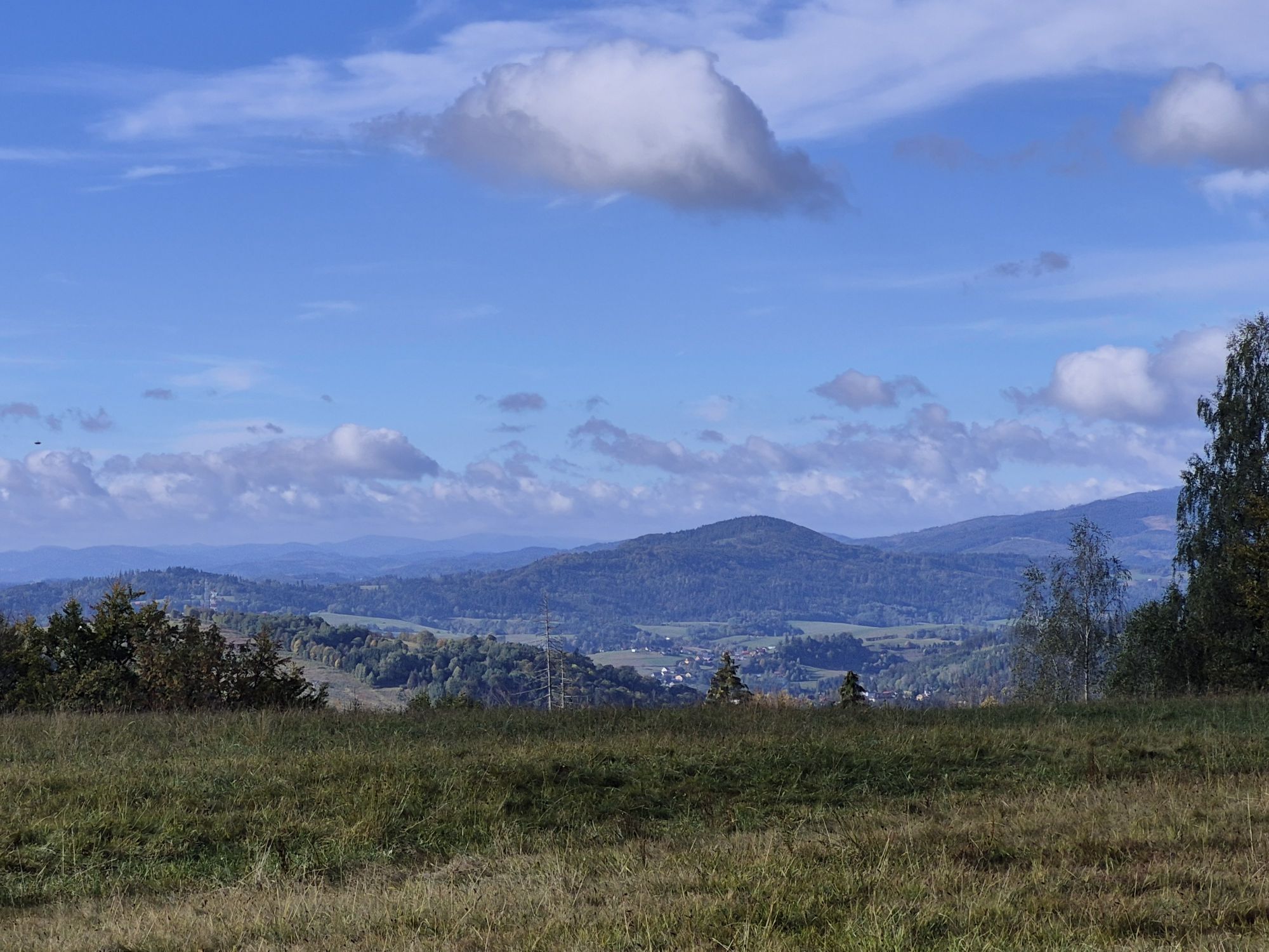
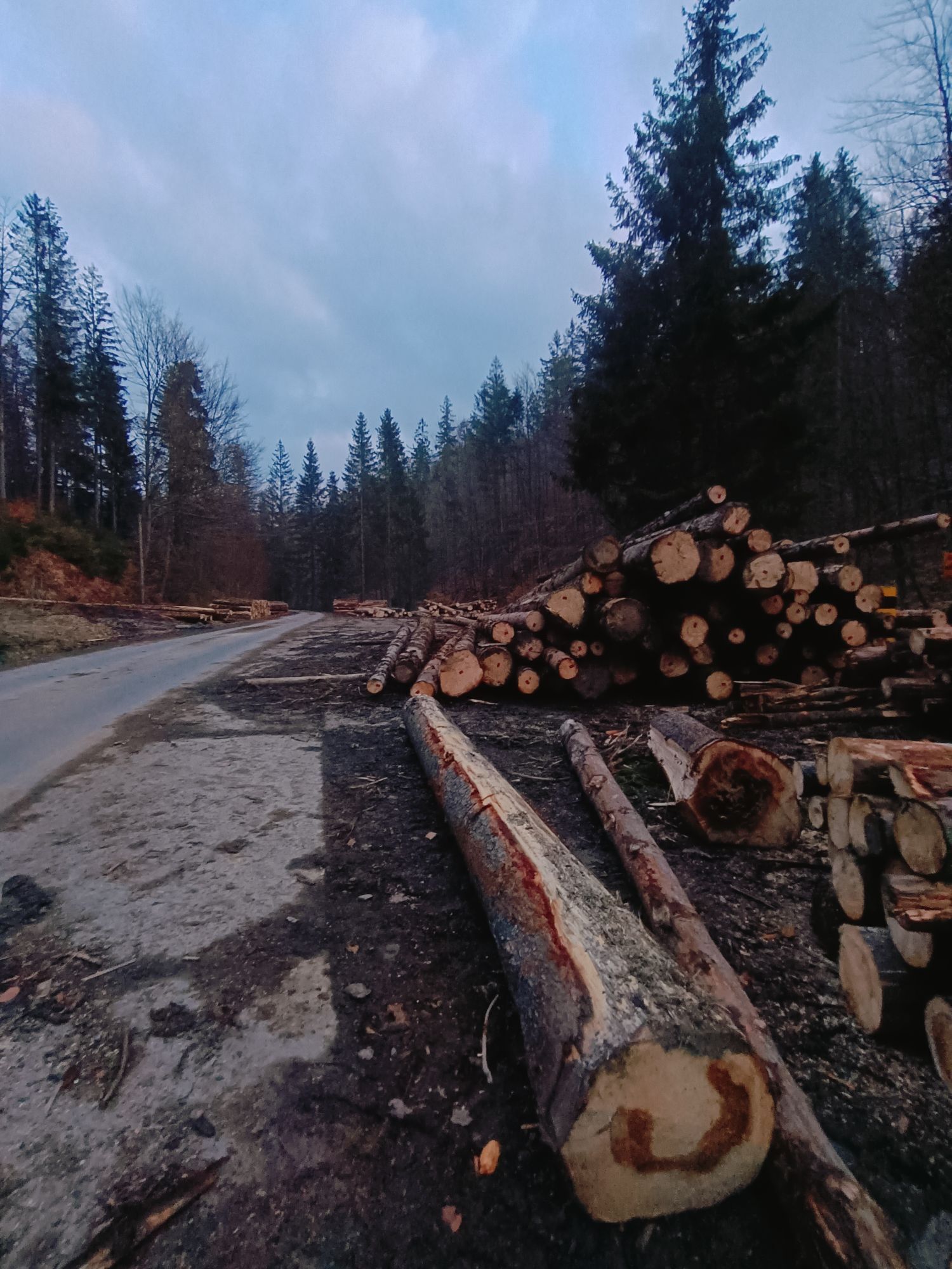
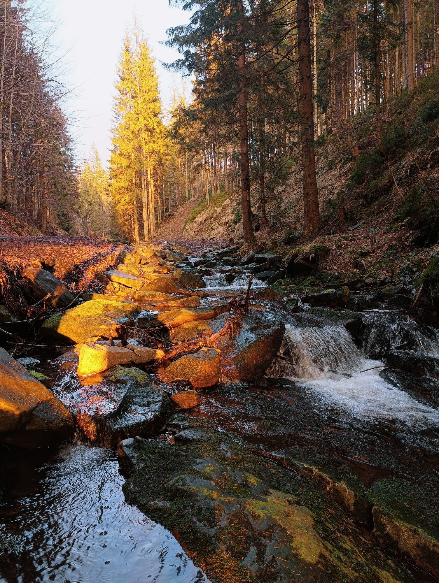
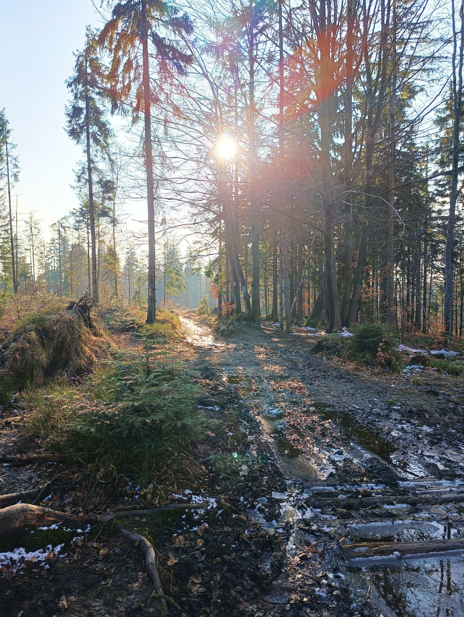
Parcours
Kościół pw. Świętego Bartłomieja Apostoła
(728 m)
Lieu de culte
0,4 km
Szarce
(630 m)
Lotissement
2,9 km
Zameczek
(621 m)
Quartier de la ville
16,7 km
Szarcula
(803 m)
Sommet
24,4 km
Przełęcz Kubalonka
(761 m)
Selle de montagne
25,9 km
Wisła
(470 m)
Ville
33,5 km
Kościół pw. Świętego Bartłomieja Apostoła
(728 m)
Lieu de culte
53,0 km
Parcours
Szańce - Beskidek - Szarcula - Przełęcz Kubalonka
difficile
Vélo de course
53,43
km
Przystanek u Franka
(755 m)
Restaurant
0,0 km
Szańce
(753 m)
Lotissement
0,0 km
Koniaków
(750 m)
Village
0,1 km
Kościół pw. Świętego Bartłomieja Apostoła
(728 m)
Lieu de culte
0,4 km
Odkrzas
(713 m)
Lotissement
0,4 km
Szymonkowie
(708 m)
Lotissement
0,5 km
Deje
(694 m)
Lotissement
1,0 km
Bryjowie
(627 m)
Lotissement
1,8 km
Polokowie
(628 m)
Lotissement
2,1 km
Kurzyszowski Groń
(668 m)
Lotissement
2,2 km
Wojtaszowie
(646 m)
Lotissement
2,4 km
Pizzaria Marino
(630 m)
Restaurant
2,7 km
Szarce
(630 m)
Lotissement
2,9 km
Burowie
(612 m)
Lotissement
3,2 km
Kohutowie
(613 m)
Lotissement
3,6 km
Haratyki
(604 m)
Lotissement
3,7 km
Michałki
(602 m)
Lotissement
3,9 km
Kubale
(605 m)
Lotissement
3,9 km
Kulonki
(589 m)
Lotissement
4,1 km
Kawulowie
(606 m)
Lotissement
4,2 km
Centrum
(615 m)
Lotissement
4,2 km
Karczma U Ujca
(597 m)
Restaurant
4,4 km
Kościół
(595 m)
Lotissement
4,5 km
Don Camillo
(597 m)
Restaurant
4,5 km
Potoczki
(581 m)
Lotissement
4,7 km
Dzielec
(575 m)
Lotissement
5,1 km
Istebna
(550 m)
Village
6,1 km
Zajazd "Pecio"
(549 m)
Restaurant
6,1 km
Piła
(544 m)
Lotissement
6,3 km
Za Groń
(546 m)
Lotissement
7,1 km
Skała
(681 m)
Lotissement
11,2 km
Zameczek
(621 m)
Quartier de la ville
16,7 km
Food Truck na Stecówce
(745 m)
Restaurant
22,0 km
Stecówka
(737 m)
Lotissement
22,0 km
Beskidek
(796 m)
Sommet
23,2 km
Szarcula
(803 m)
Sommet
24,4 km
Przełęcz Szarcula
(761 m)
Col de montagne
24,9 km
Nowa Beczka
(767 m)
Lotissement
25,5 km
Karczma u Franza Josefa
(760 m)
Restaurant
25,8 km
Karczma Beczka
(759 m)
Restaurant
25,9 km
Przełęcz Kubalonka
(761 m)
Selle de montagne
25,9 km
Karczma Kubalonka
(762 m)
Restaurant
25,9 km
Kozińce
(547 m)
Quartier de la ville
29,5 km
Restauracja Stara Winiarnia Food & Wine
(533 m)
Restaurant
30,6 km
Karczma Regionalna U Karola
(511 m)
Restaurant
30,6 km
Restauracja Olimpia
(505 m)
Restaurant
30,7 km
Kopydło
(451 m)
Quartier de la ville
32,7 km
Chrześcijański Kościół „Maranatha”
(451 m)
Lieu de culte
32,8 km
Wisła
(470 m)
Ville
33,5 km
Oaza
(475 m)
Quartier de la ville
33,8 km
Nowa Osada
(457 m)
Quartier de la ville
34,3 km
Do Bielana
(476 m)
Quartier de la ville
36,2 km
Górolsko izba
(476 m)
Restaurant
36,4 km
Osiedle Uścienków
(500 m)
Quartier de la ville
36,4 km
Brzyszki
(497 m)
Quartier de la ville
36,5 km
Nowa Osada Druga
(480 m)
Quartier de la ville
36,7 km
Osiedle Bajcary
(486 m)
Quartier de la ville
37,0 km
Za Studnie
(490 m)
Quartier de la ville
37,1 km
Wylęgarnia
(512 m)
Quartier de la ville
38,0 km
Zameczek
(621 m)
Quartier de la ville
39,3 km
Skała
(681 m)
Lotissement
44,8 km
Zaolzie
(564 m)
Lotissement
48,6 km
Michałkowa Olza
(575 m)
Lotissement
48,8 km
Ganczarka
(569 m)
Couloir/terrain
48,9 km
Pizzaria Marino
(630 m)
Restaurant
50,1 km
Szarce
(630 m)
Lotissement
50,2 km
Wojtaszowie
(646 m)
Lotissement
50,6 km
Kurzyszowski Groń
(668 m)
Lotissement
50,8 km
Polokowie
(628 m)
Lotissement
50,8 km
Beskid
(667 m)
Lotissement
51,0 km
Matyska
(662 m)
Couloir/terrain
51,3 km
Kadłuby
(701 m)
Lotissement
51,9 km
Gołowski Groń
(716 m)
Couloir/terrain
52,1 km
Pustki
(702 m)
Lotissement
52,2 km
Dachtony
(709 m)
Lotissement
52,5 km
Szymonkowie
(708 m)
Lotissement
52,7 km
Odkrzas
(713 m)
Lotissement
52,9 km
Kościół pw. Świętego Bartłomieja Apostoła
(728 m)
Lieu de culte
53,0 km
Koniaków
(750 m)
Village
53,3 km
Przystanek u Franka
(755 m)
Restaurant
53,3 km
Szańce
(753 m)
Lotissement
53,4 km


Pas encore d'évaluation
Parcours populaires à proximité
-
4,4
Wisła - Wierch Równiański - Wierch Wisełka - Barania Góra
difficileRandonnée 18,2 km -
4,2
Biały Krzyż - Małe Skrzyczne - Skrzyczne - Schronisko PTTK Skrzyczne
moyenRandonnée 8,06 km -
4,5
Pętle dolina Zimnika - Magurka Radziechowska - Magurka Wiślańska
moyenRandonnée 16,7 km -
5,0
Nr.8 Szczyrk,Bialy Krzyz,Cienkow,Skocznia Malinka, Wisla Czarne ,Wodospad,Schronisko Przyslop,Bialy Krzyz,Szczyrk
moyenVTT 57,4 km -
4,0
Nr.1 Szczyrk Chata Wuja Toma Brenna Dolina Cholcyny Polana Jaworowa Kotarz Beskid Sport Arena Szczyrk
moyenVTT 25,3 km -
4,3
Szczyrk - Skrzyczne - Schronisko PTTK Skrzyczne
moyenRandonnée 14,9 km -
Brenna (Szlaban) - Przełęcz Karkoszczonka
facileRandonnée 5,38 km -
Nr. 14 Szczyrk,Buczkowice, dolina Zimnika,Skrzyczne,Hala Skrzyczenska,dolina Malinow, Szczyrk
moyenVTT 36,8 km -
Nr.5 Szczyrk,Hala Skrzyczenska ,Male Skrzyczne,Malinowska Skala,Bialy Krzyz,Kotarz,Chata Wuja Toma,Szczyrk Beski Arena
moyenVTT 28,0 km -
Nr.9 Szczyrk ,Solisko ,Malinowa Dolina,Wierch Posredni/Solisko,Bialy Krzyz,Wodospad Wyrchmalinki,Wisla Malinka ,Wisla Czarne Wodospad,Skocznia Malysza,Cienkow,Zielony Kopiec,Bialy Krzyz,Szczyrk
moyenVTT 43,5 km
Randonnée et suivi

Plus de 550.000 propositions de circuits, des cartes détaillées et un planificateur d'itinéraire intuitif font de cette application un must pour tous les passionnés de nature.

Ne manquez pas les offres et l'inspiration pour vos prochaines vacances
S'inscrire à la newsletter
Erreur
Une erreur s'est produite. Veuillez réessayer.
Merci pour votre inscription
Votre adresse électronique a été ajouté à la liste de diffusion.
Parcours en Europe
Autriche
Suisse
Allemagne
Italie
Slovénie
France
Pays-Bas
Belgique
Pologne
Liechtenstein
République tchèque
Slovaquie
Espagne
Croatie
Bosnie-Herzégovine
Luxembourg
Andorre
Portugal
Islande
Royaume-Uni
Irlande
Grèce
Albanie
Macédoine du Nord
Malte
Norvège
Monténégro
Moldavie
Kosovo
Hongrie
Saint-Marin
Roumanie
Estonie
Lettonie
Bélarus
Chypre
Lituanie
Serbie
Bulgarie
Monaco
Danemark
Suède
Finlande


