


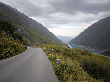
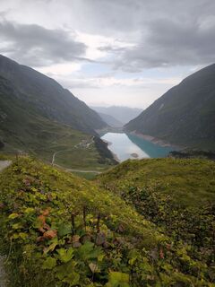
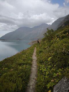
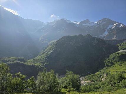
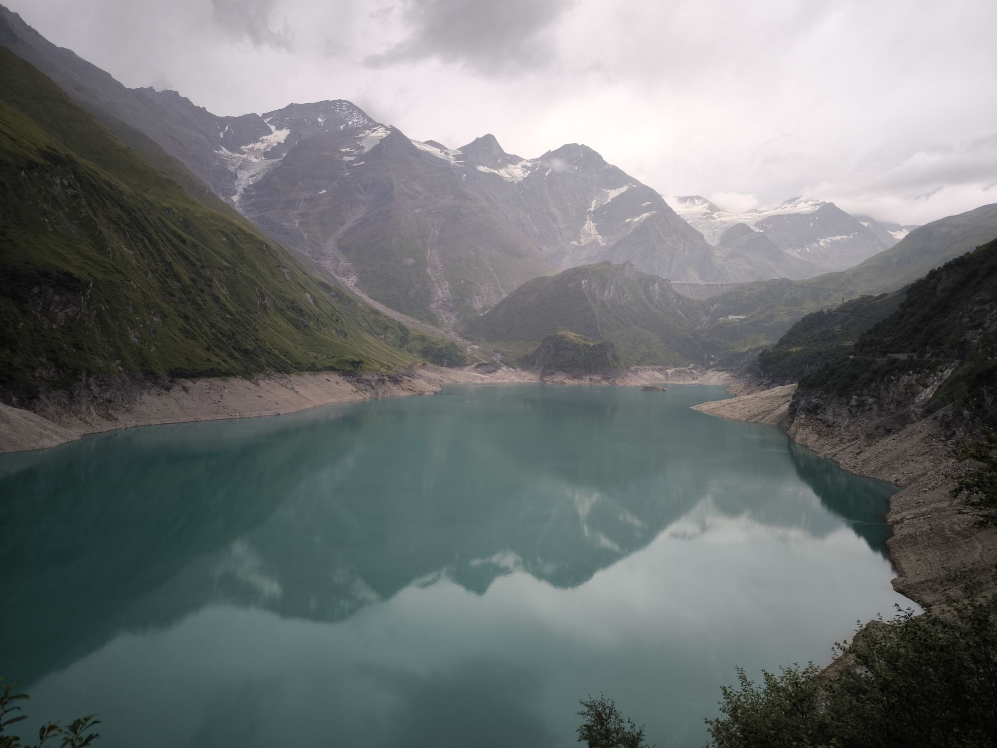
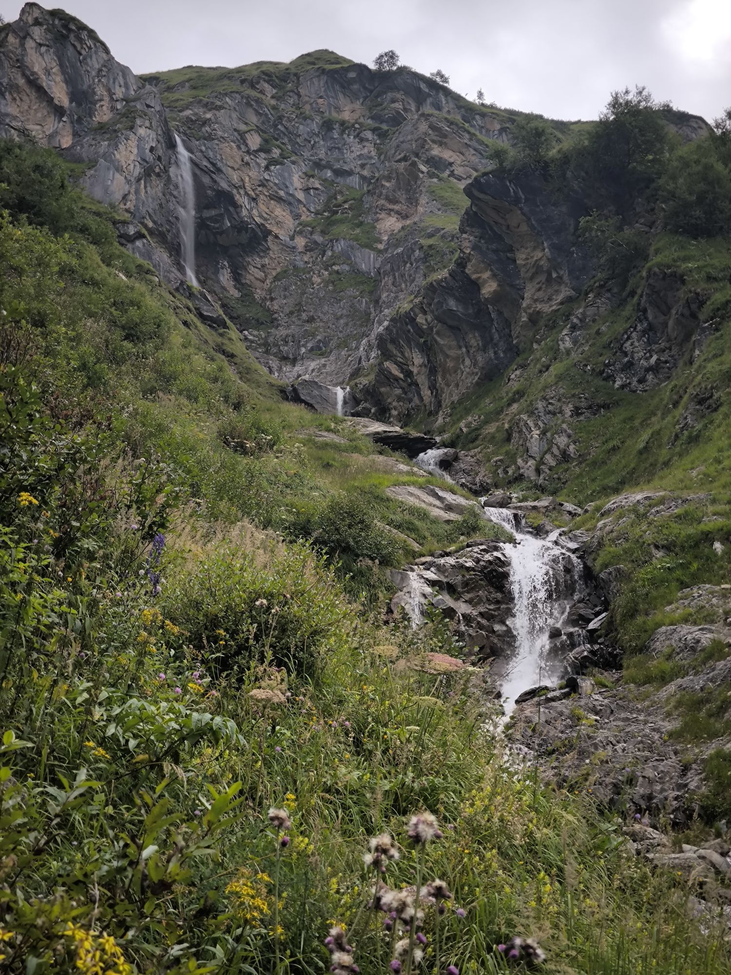
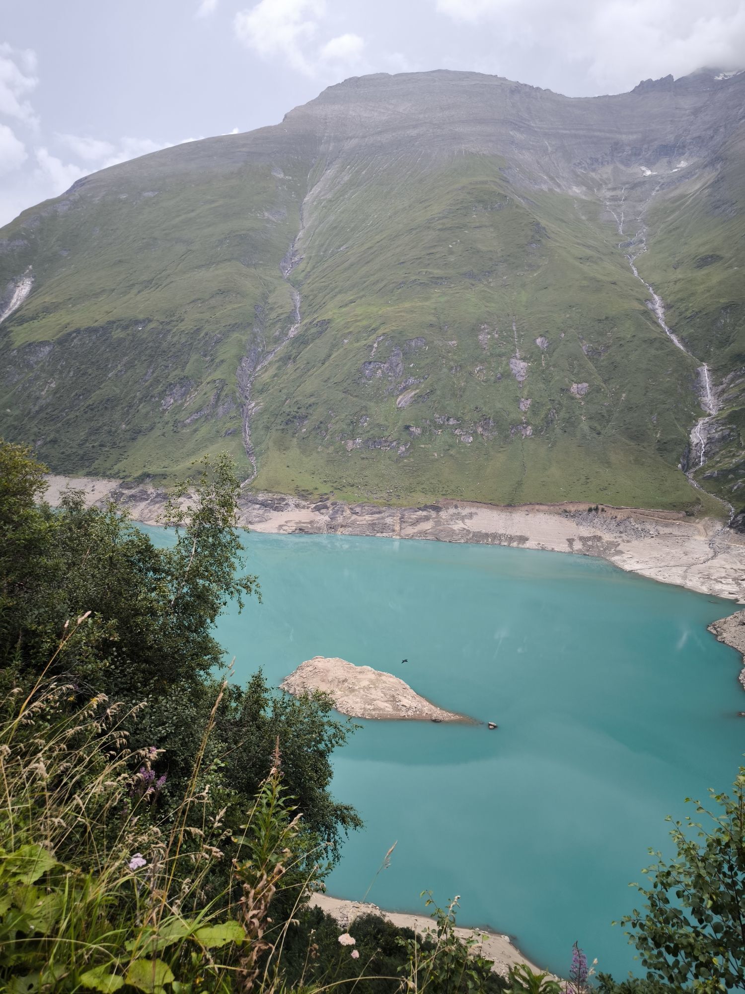
Path from Alpenhaus Kesselfall to Mooserboden


Photos de nos utilisateurs
-

 © Leon StelzerCréé le 12.10.2025
 -
 © Leon StelzerCréé le 12.10.2025
 -
 © Leon StelzerCréé le 12.10.2025
 -
 © Leon StelzerCréé le 12.10.2025
 -
 © Mafalda StaffenbergerCréé le 12.07.2025
 -
 © Mafalda StaffenbergerCréé le 12.07.2025
 -
 © Mafalda StaffenbergerCréé le 12.07.2025
 -
 © Mafalda StaffenbergerCréé le 12.07.2025
 -
 © Mathias StrobelCréé le 19.04.2025
 -
 © Koen De WitCréé le 11.08.2022
 -
 © Koen De WitCréé le 11.08.2022
 -
 © Koen De WitCréé le 11.08.2022
 -
 © Adam KashynaCréé le 14.08.2025
 -
 © Adam KashynaCréé le 14.08.2025
 -
 © Adam KashynaCréé le 14.08.2025
 -
 © Adam KashynaCréé le 14.08.2025
 -
 © Adam KashynaCréé le 14.08.2025
 -
 © Adam KashynaCréé le 14.08.2025
 -
 © Adam KashynaCréé le 14.08.2025
 -
 © Adam KashynaCréé le 14.08.2025
 -
 © Adam KashynaCréé le 14.08.2025
 -
 © Adam KashynaCréé le 14.08.2025
 -

 © AlpenFuchsCréé le 19.06.2025
 -
 © AlpenFuchsCréé le 19.06.2025
 -
 © AlpenFuchsCréé le 19.06.2025


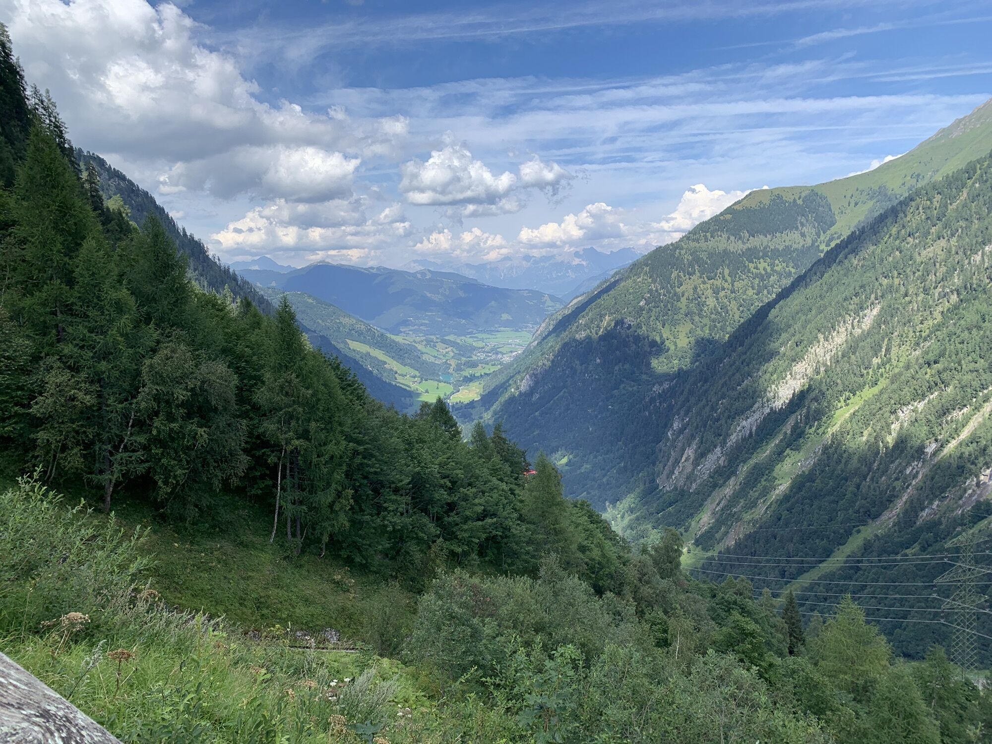


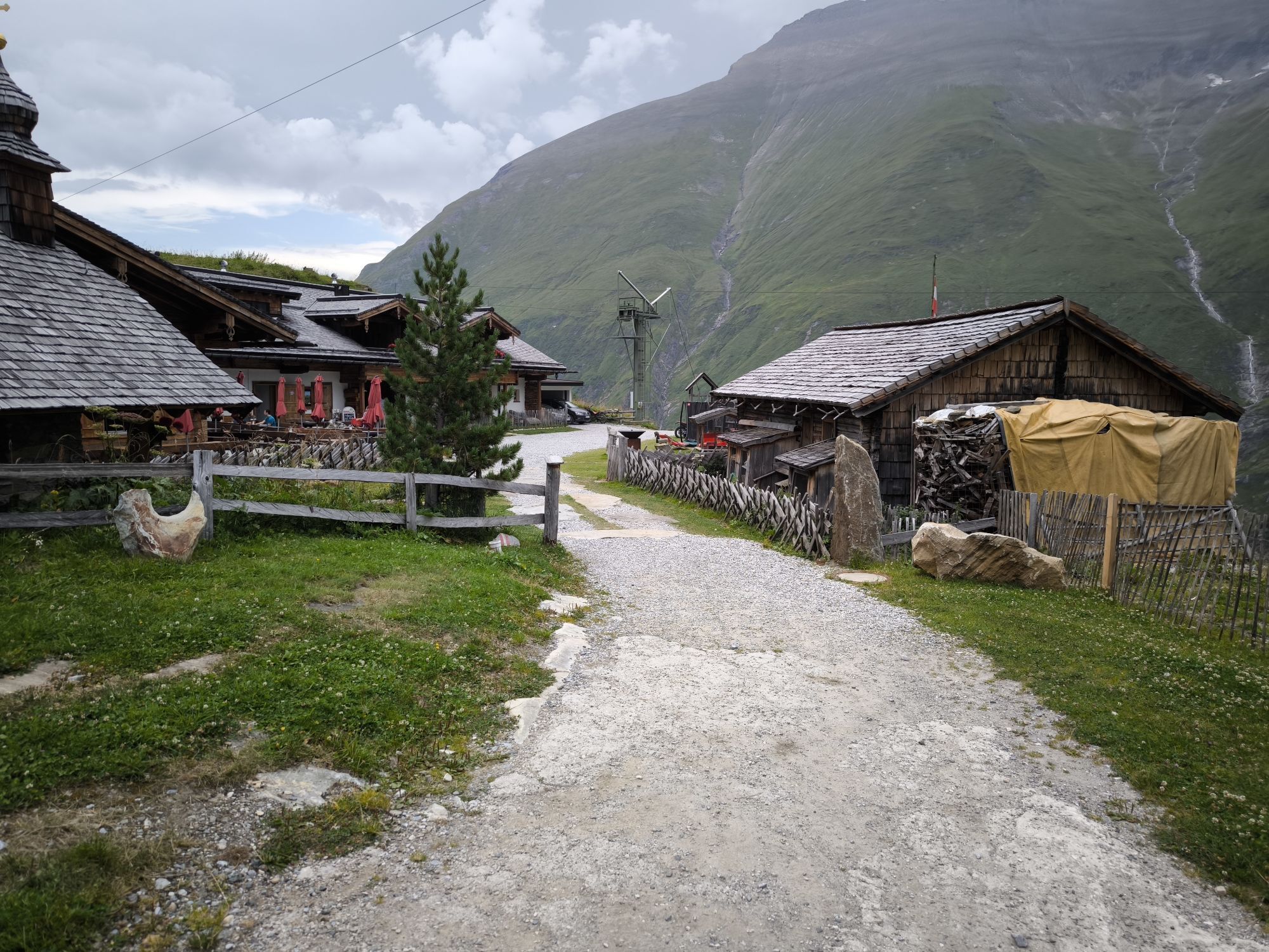

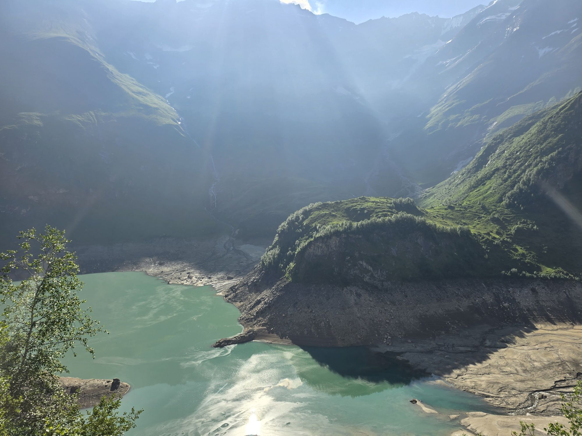
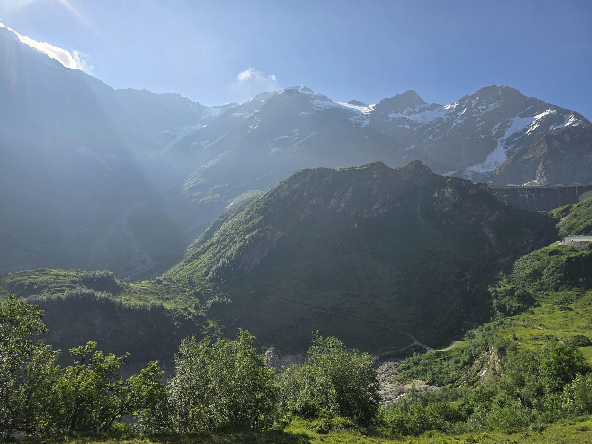

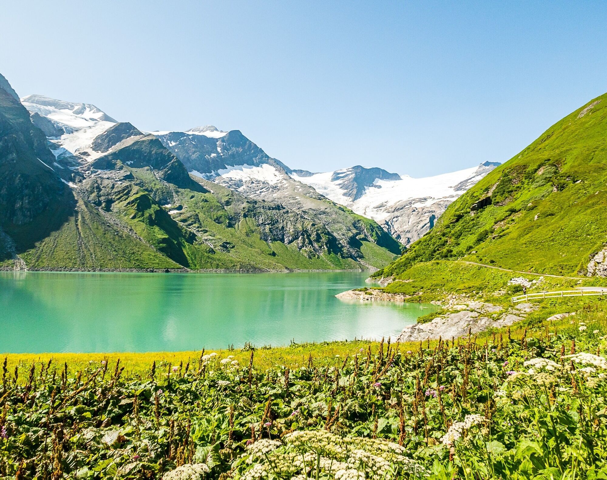
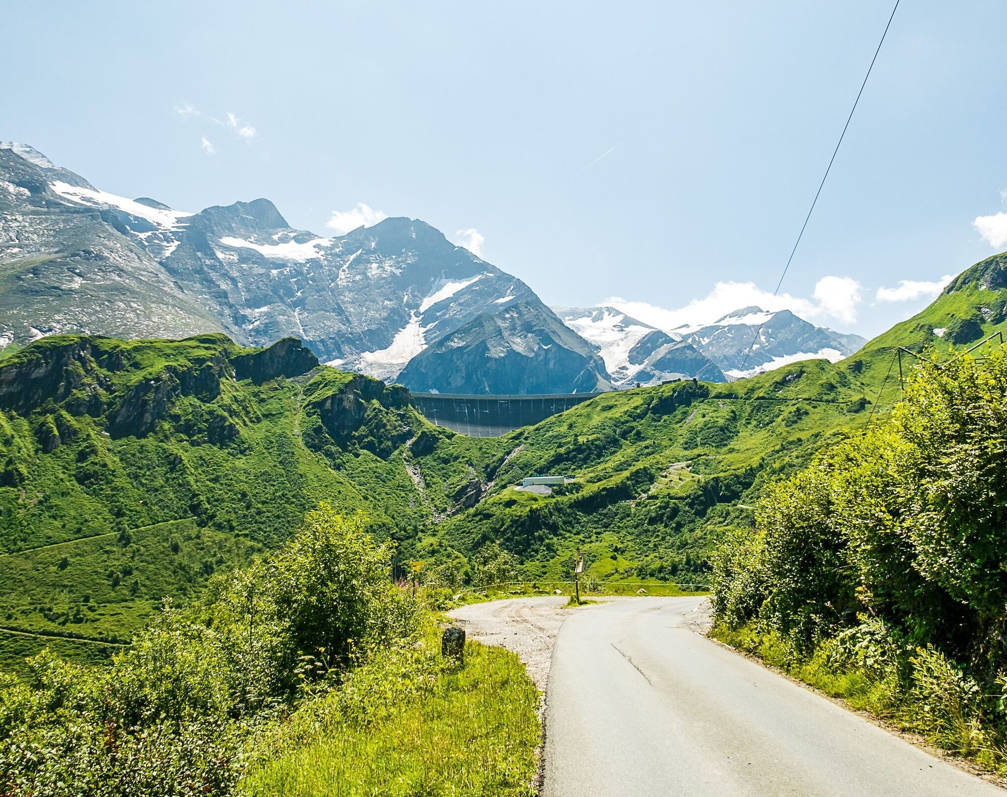
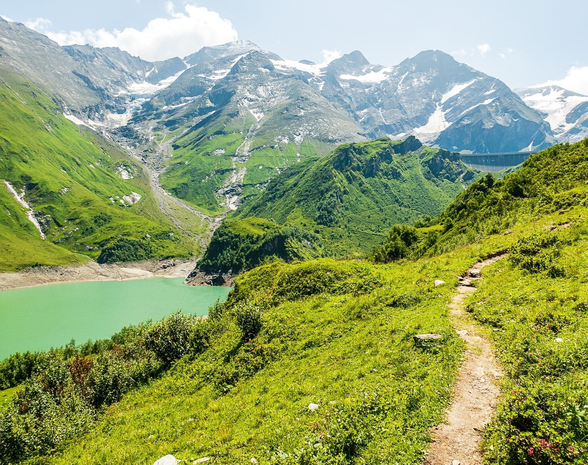
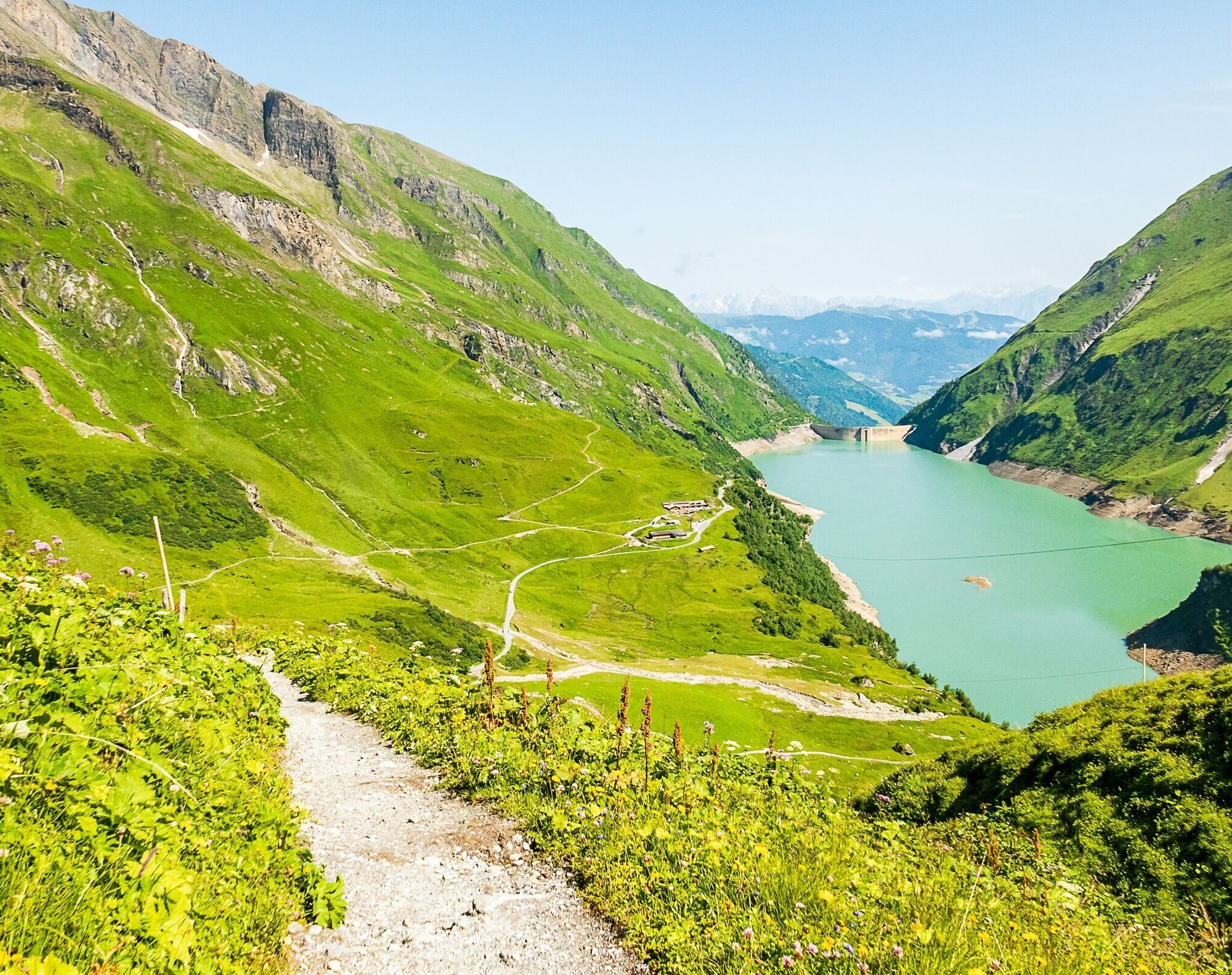
Demanding ascent with almost 1,000 vertical meters. In the end you will be rewarded with one of the most beautiful alpine landscapes. Eating and drinkind is possible at mountain restaurant Mooserboden...
Demanding ascent with almost 1,000 vertical meters. In the end you will be rewarded with one of the most beautiful alpine landscapes. Eating and drinkind is possible at mountain restaurant Mooserboden or at the alm hut before.
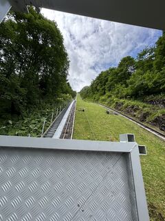
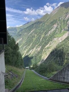
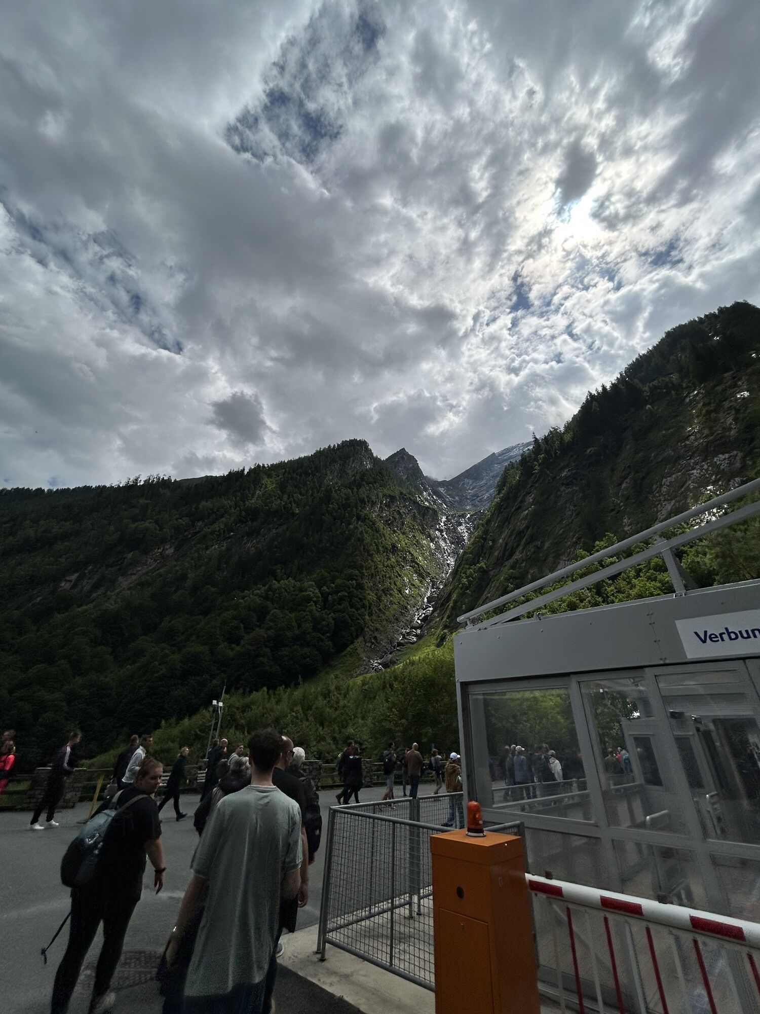
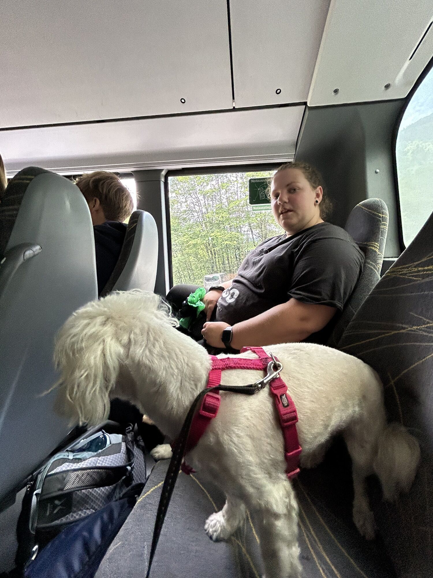
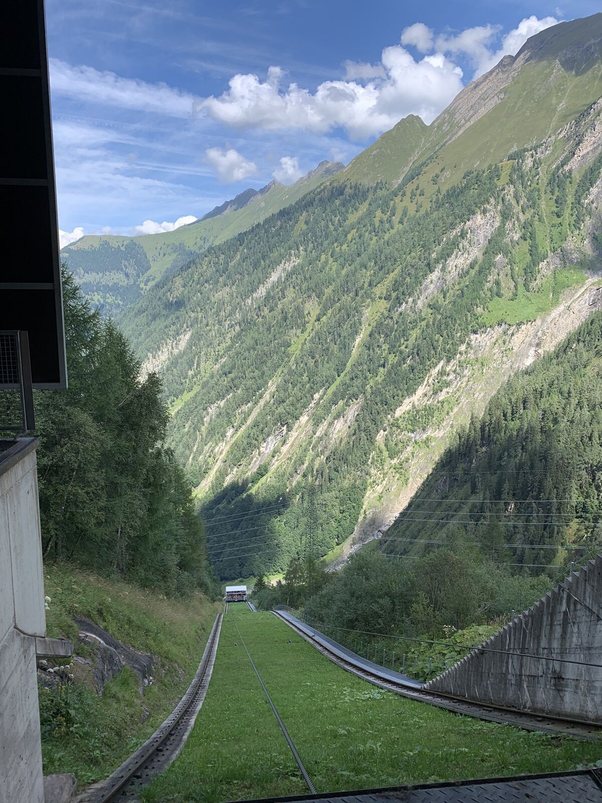
Back to the valley is the ride with buses and the largest open inclined lift in Europe possible.
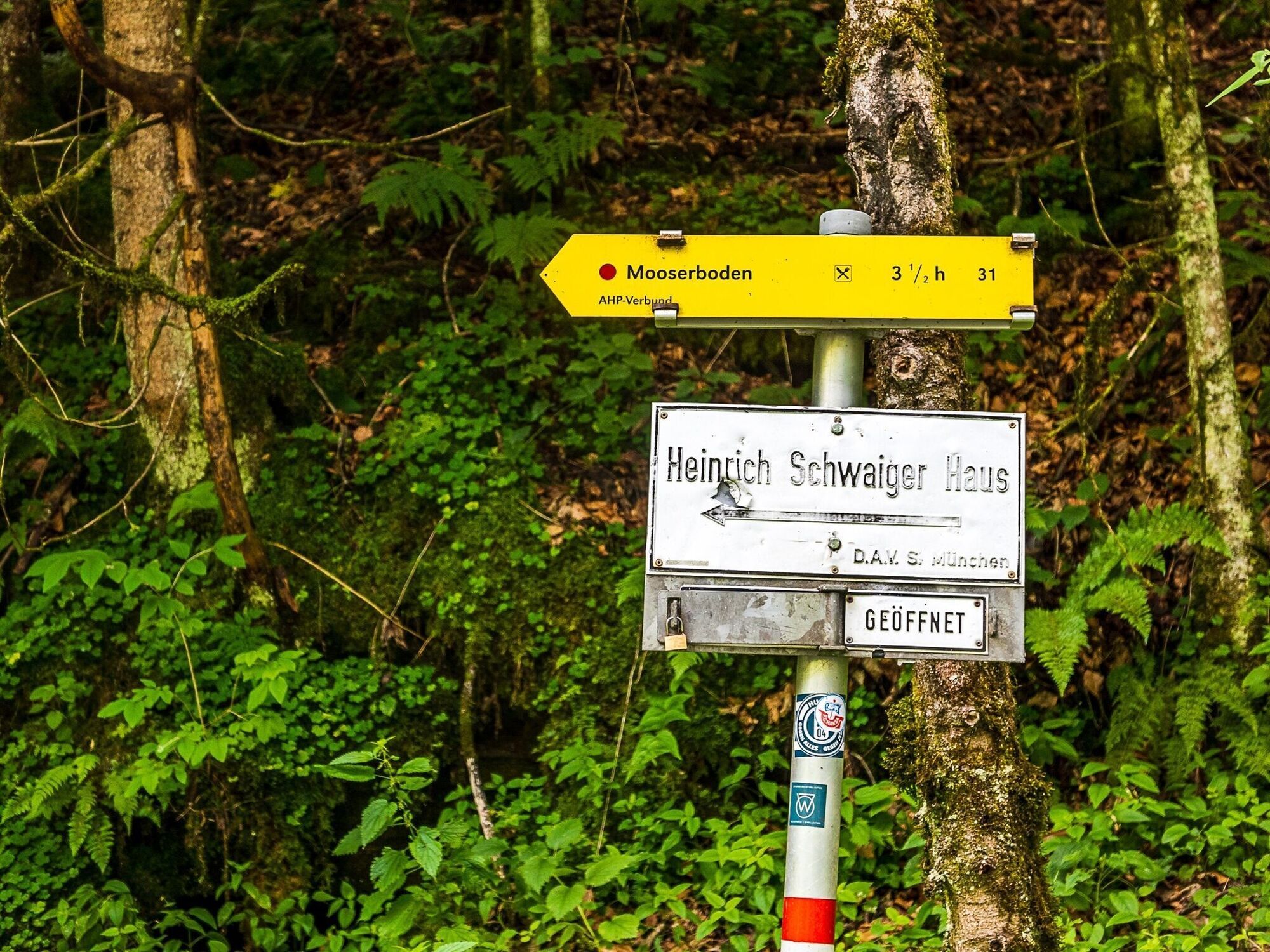
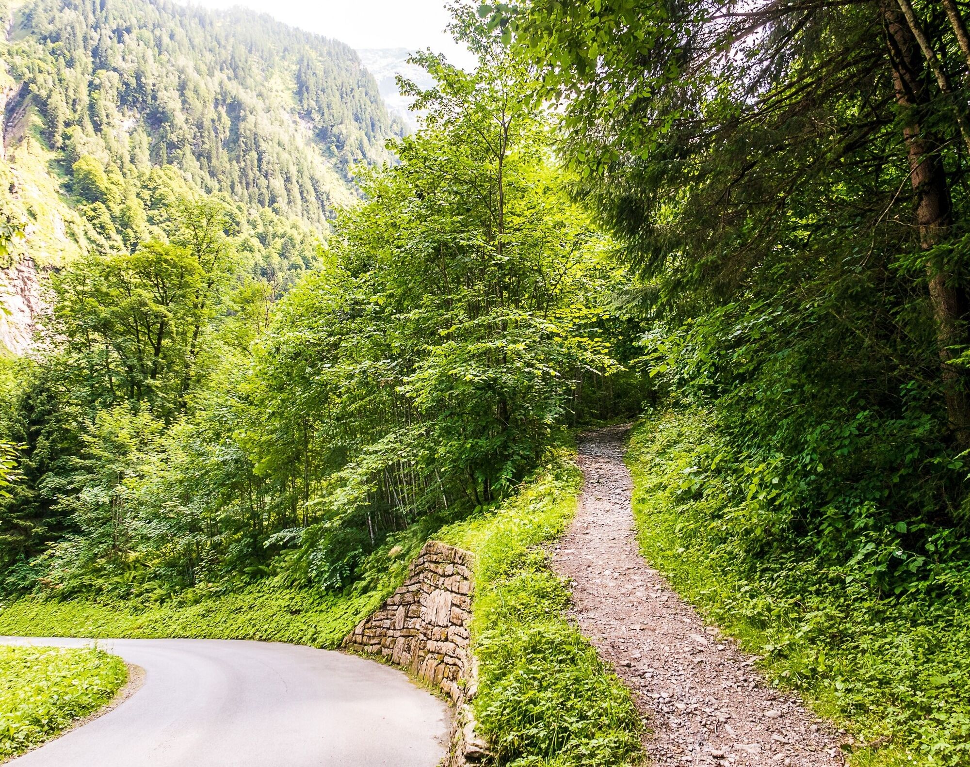

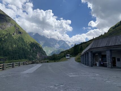
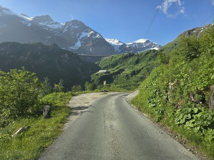
From Kesselfall Alpenhaus, cross the bridge and follow the road for about 50 metres before turning left onto trail no. 31.
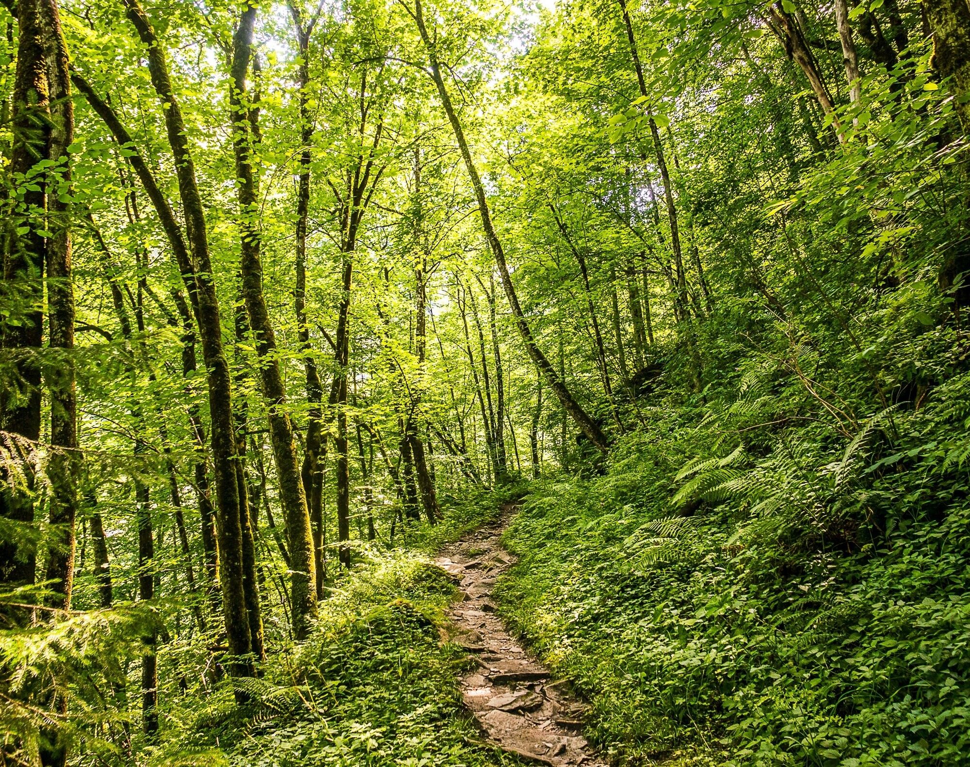
After a short ascent, this beautiful forest trail leads to the old mountain road. From there, the route runs to the valley station of the Lärchwand inclined lift.
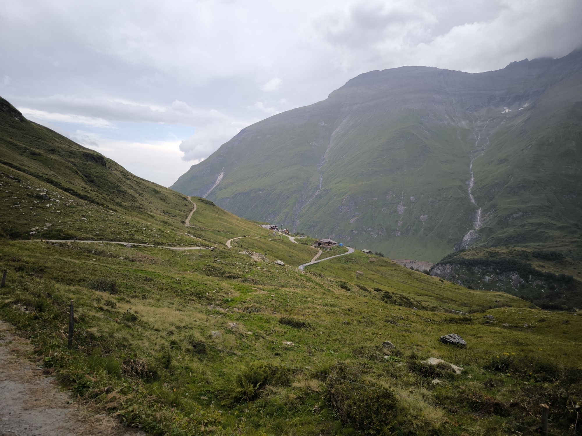
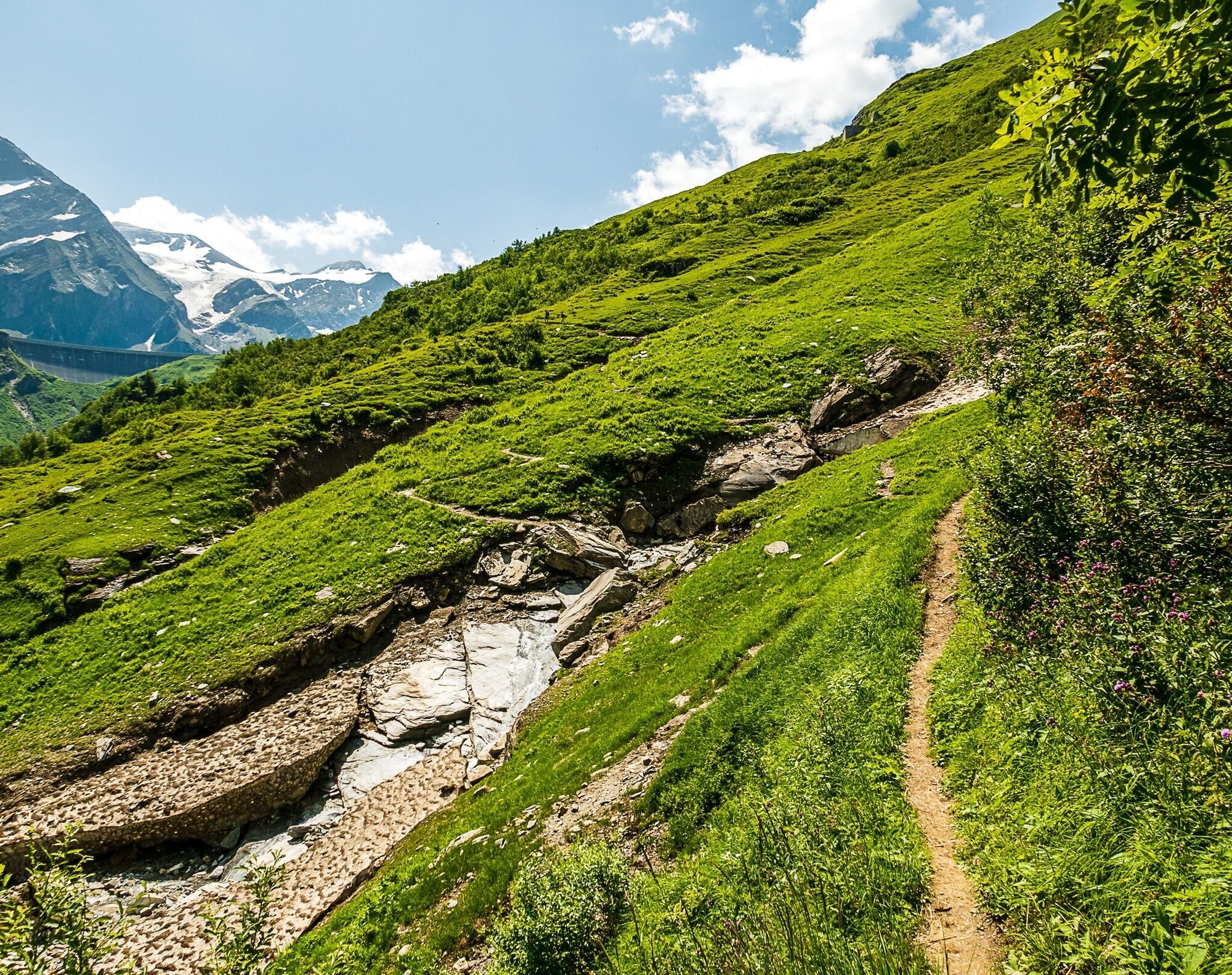
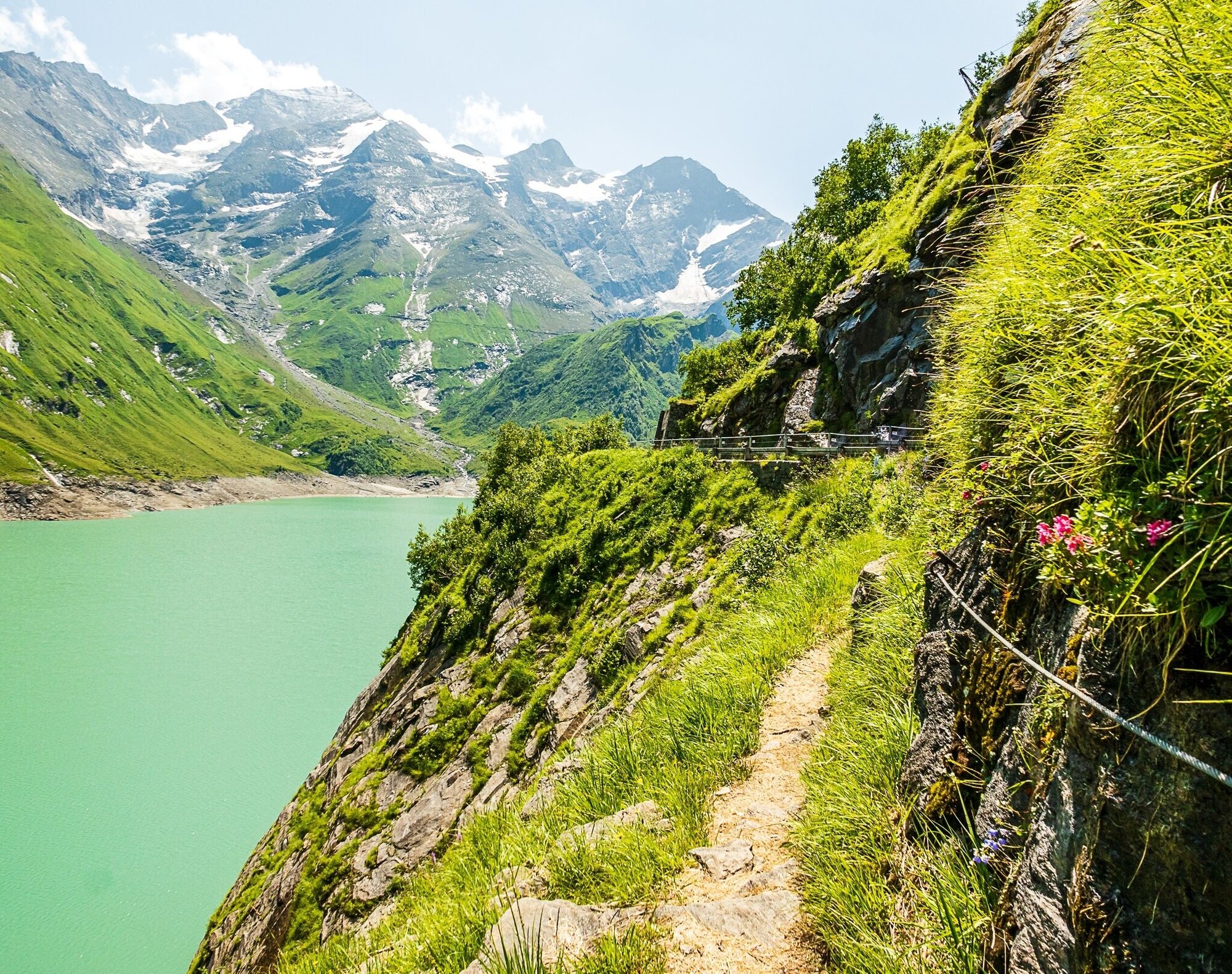
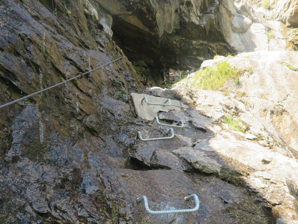
From now on, surefootedness and a head for heights are required as one section of the trail is slightly exposed in places. Alternatively: continue by bus.
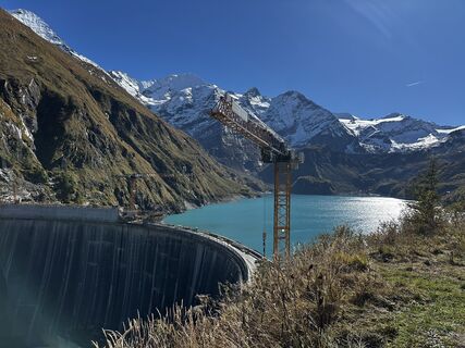
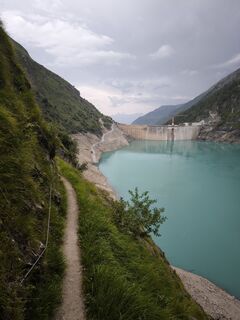
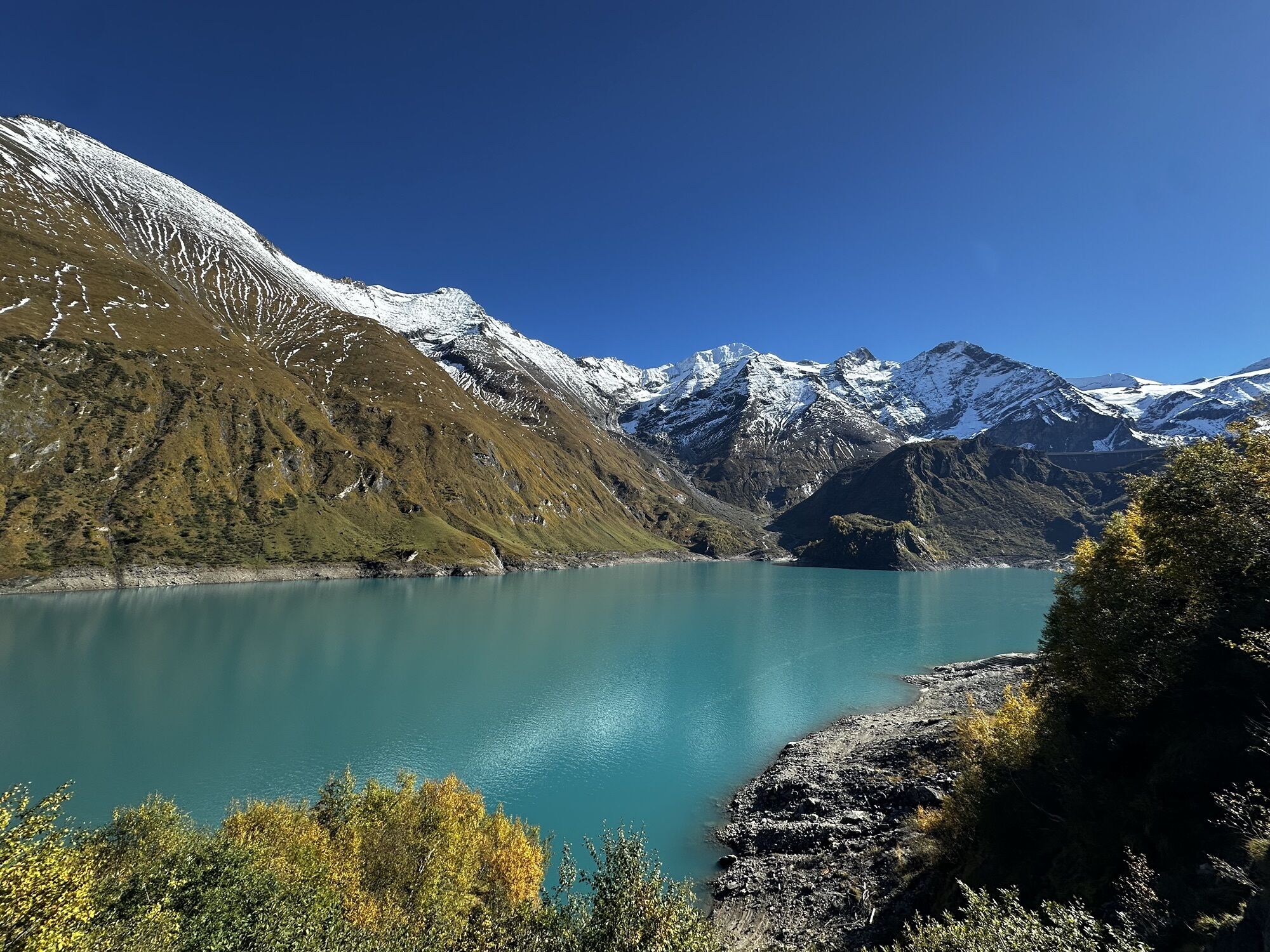
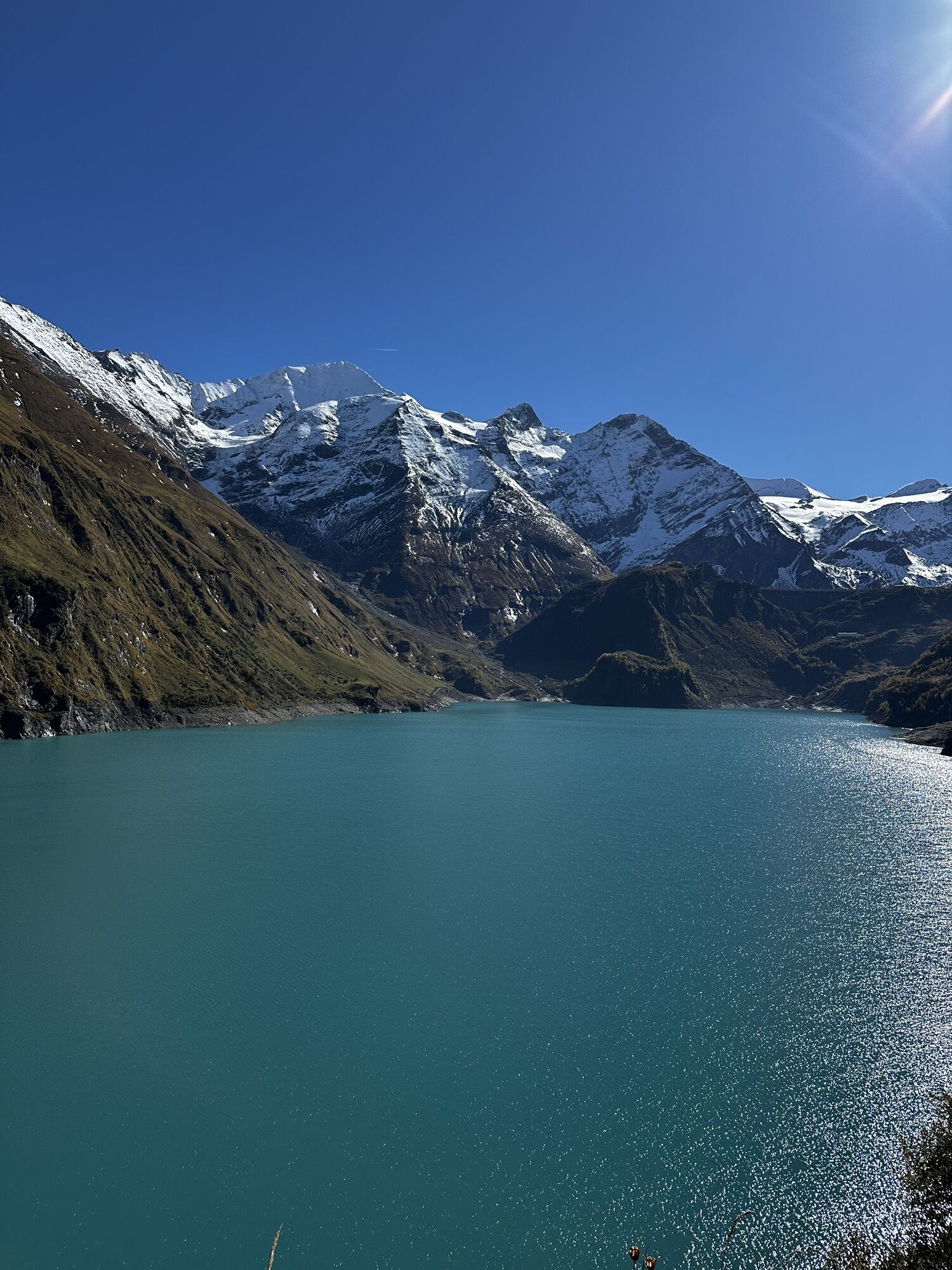
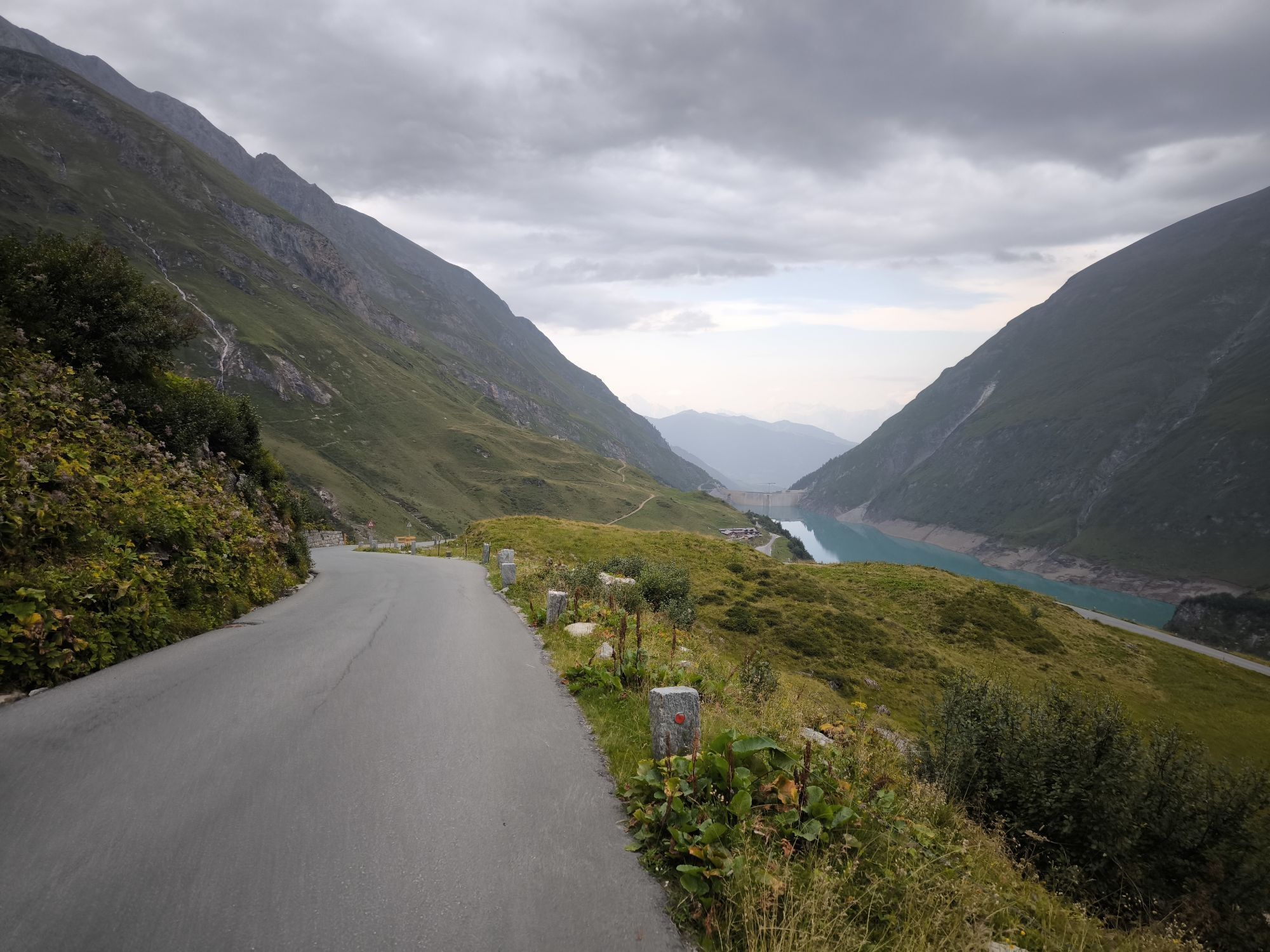
Hikers follow the road here until a trail branches off to the left just before the first tunnel, which leads to the crown of the Limberg Dam.
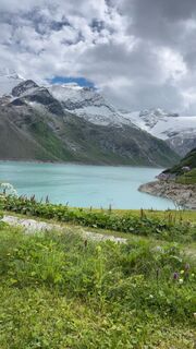
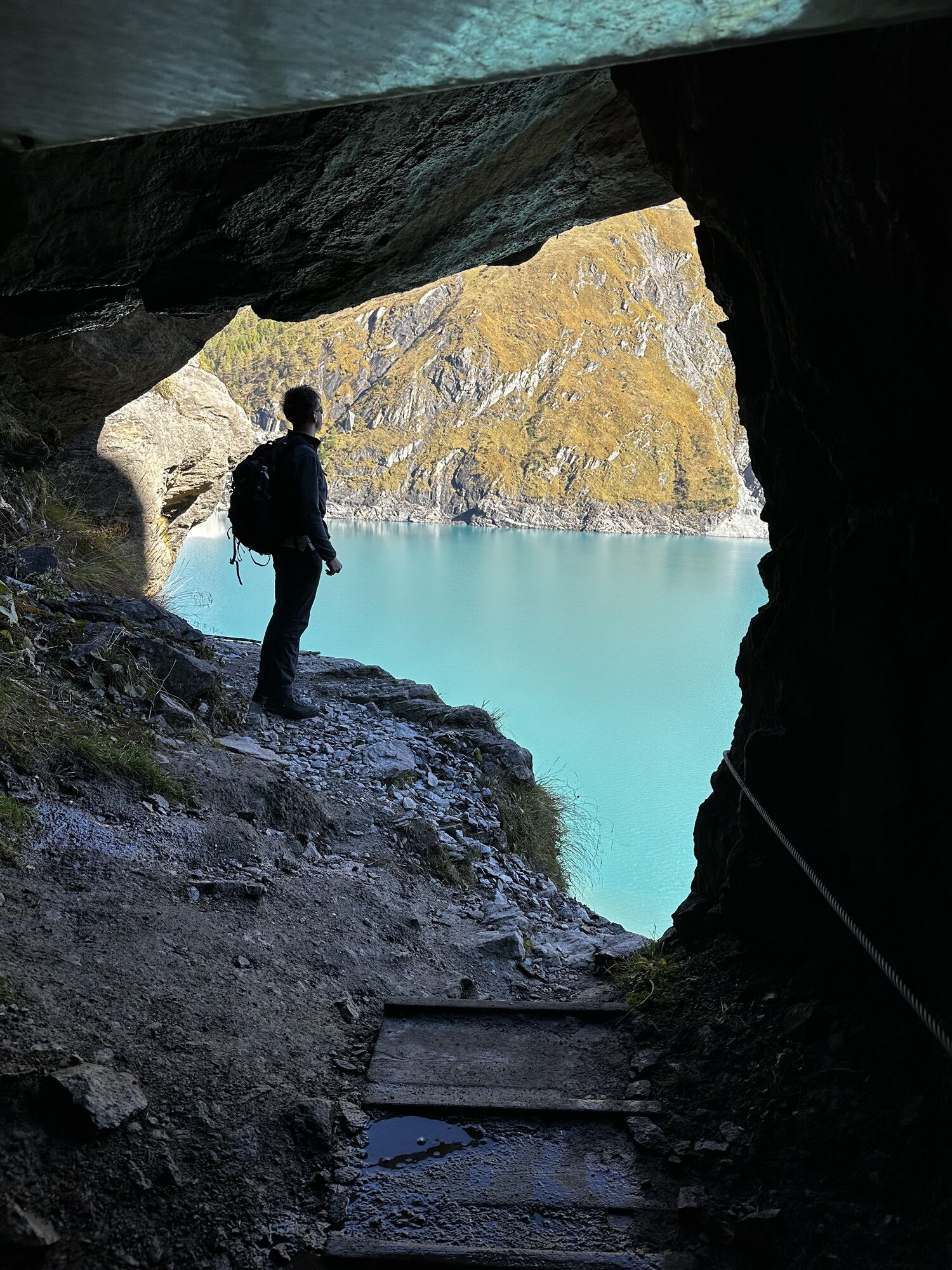
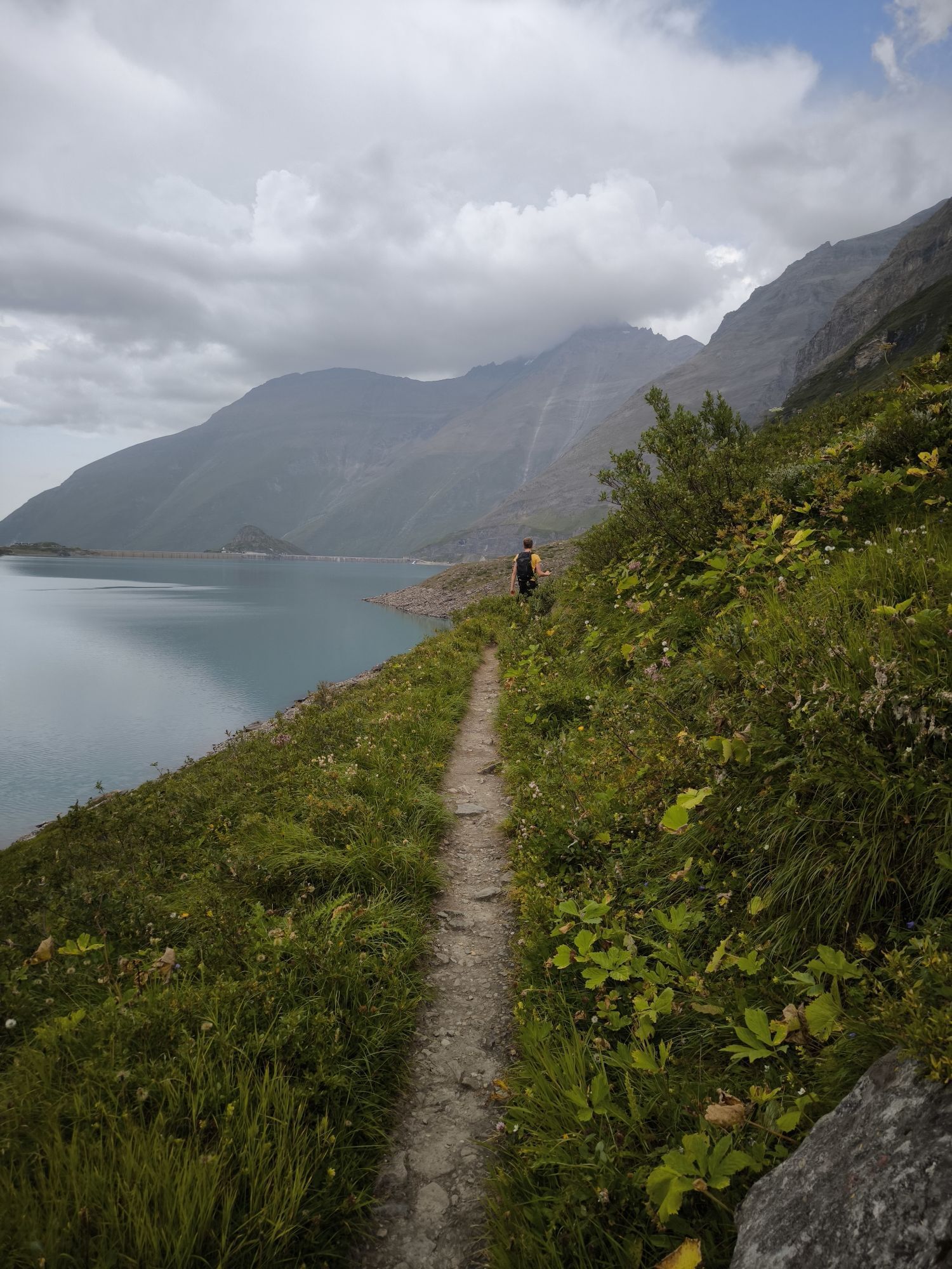
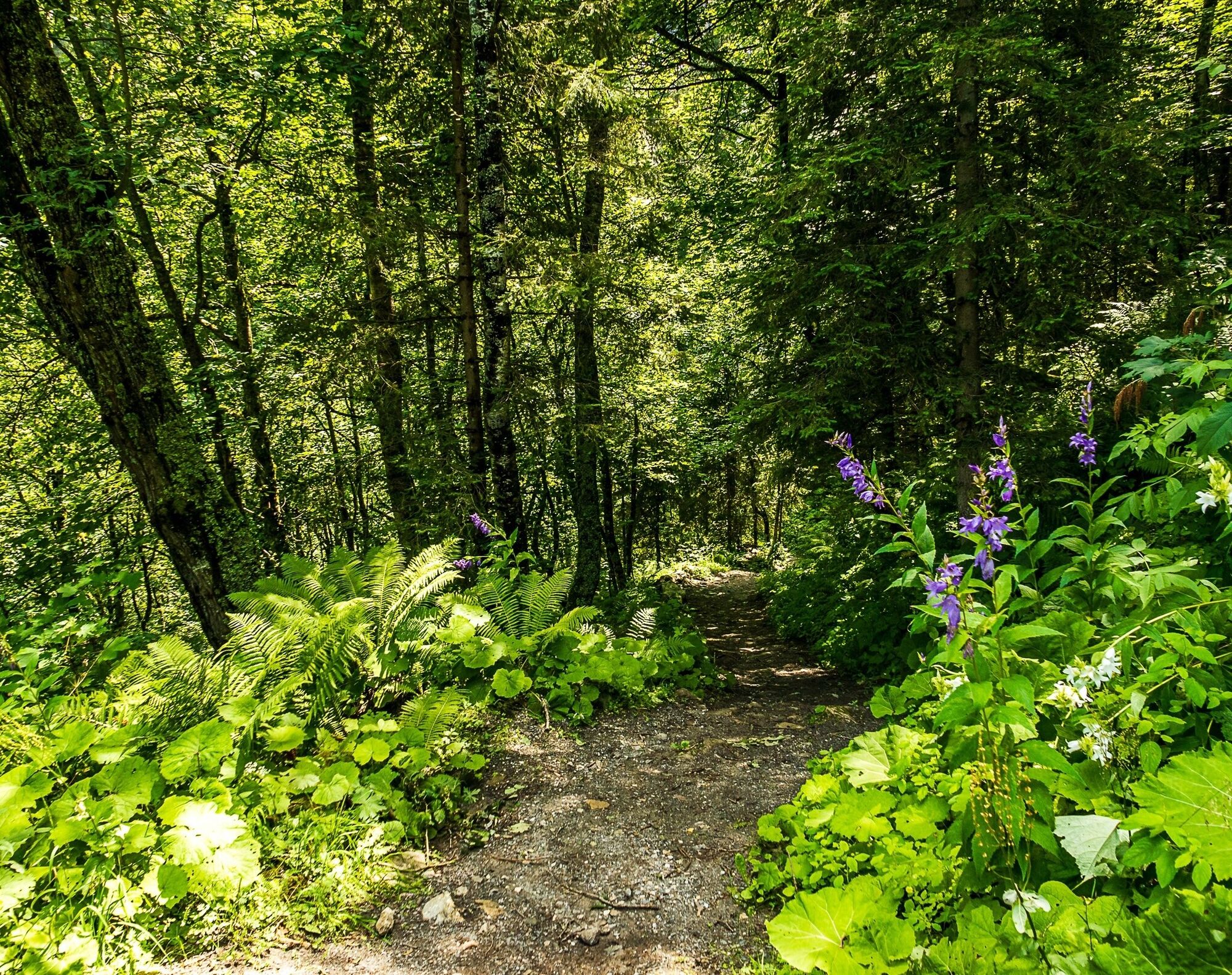
After approx. 100 metres of road, a trail leads along the west side of the Limberg reservoir to the Fürthermoaralm.
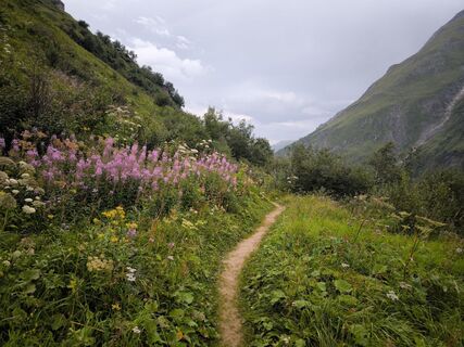
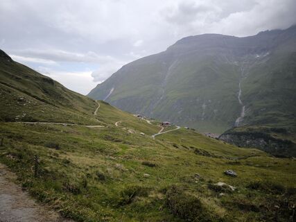
From the Alm, the trail becomes an educational "herb trail", ending at Mooserboden.
Due to long-lying snowfields in the trenches, the trail is usually only accessible from the beginning of July!
To be sure of step and a good head for heights is important!
sturdy shoes, rain or wind protection
trekking poles are recomendet
Information for individual arrival
from Zell am See with the bus line 660 to (last stop in Kaprun) Kesselfall
free parking in the parking garage Kesselfall
start early enough so that you have enough time to explore the high mountain reservoirs.
Webcams de la tournée
-
Sonnenkar
-
Gipfel Kitzsteinhorn
-
Alpincenter
-
Langwiedboden
-
Mooserboden
-
Heinrich-Schwaiger-Haus
-
Sonnenkar
-
Sonnenkar
-
Gipfel Kitzsteinhorn
-
Gipfel Kitzsteinhorn
-
Alpincenter
-
Alpincenter
-
Langwiedboden
-
Langwiedboden
-
Bergstation Maiskogelbahn
-
Kaprun - Wasserfallboden
-
Bergstation Maiskogelbahn
-
Bergstation Maiskogelbahn
Parcours populaires à proximité
-
3,9
Chemin glaciaire vers la Pasterze avec le Gamsgrubenweg (jusqu'au tunnel 6)
moyenRandonnée 8,05 km -
5,0
Kaiser-Franz-Josefs-Höhe zur Oberwalderhütte
difficileRandonnée 5,52 km -
4,3
Bruck : 732+736+730 | Drei Brüder
difficileRandonnée 16,1 km -
4,5
Sigmund Thun Klamm
facileRandonnée 3,10 km -
4,5
1 Großglockner Normalweg von der Stüdlhütte (Tirol & Kärnten)
difficileRandonnée d'altitude 8,17 km -
4,7
Fusch: Gleiwitzer Hütte
difficileRandonnée 8,26 km -
4,6
3 Oktober Fusch Walcher Grung und Hohalm
moyenRandonnée 8,57 km -
4,8
Sigmund Thun Klamm, Klammsee, Bürgkogel
facileRandonnée 4,56 km -
4,7
Runde um den Weißsee - Gletscherlehrpfad Uttendorf, Österreich
moyenRandonnée 6,48 km -
Fusch an der Glocknerstrasse: Zum Fuschertörl
VTT 25,4 km
Randonnée et suivi


Ne manquez pas les offres et l'inspiration pour vos prochaines vacances
Votre adresse électronique a été ajouté à la liste de diffusion.