
Stage 4
facile
Télécharge cette visite sur ton portable
Stage 4
facile
Randonnée
15,98
km
Scanner le code QR et commencer la navigation dans l'application bergfex


Randonnée & tracking





Stage 4
facile
Distance
16,0
km
Durée
03:59
h
Ascension
1 269
m
Altitude
1 278 -
2 444
m

Naviguez dans votre circuit depuis l'application
Téléchargez gratuitement l'application et suivez votre parcours grâce à la navigation GPS et au suivi.
Profitez dès maintenant d'bergfex, dans l'application
Scannez le code QR avec votre appareil photo
Une fois l'application installée, le contenu s'ouvre directement. Si vous ne disposez pas encore de l'application, vous serez redirigé vers la page de téléchargement gratuit.
Téléchargement de la piste
Stage 4
facile
Randonnée
15,98
km
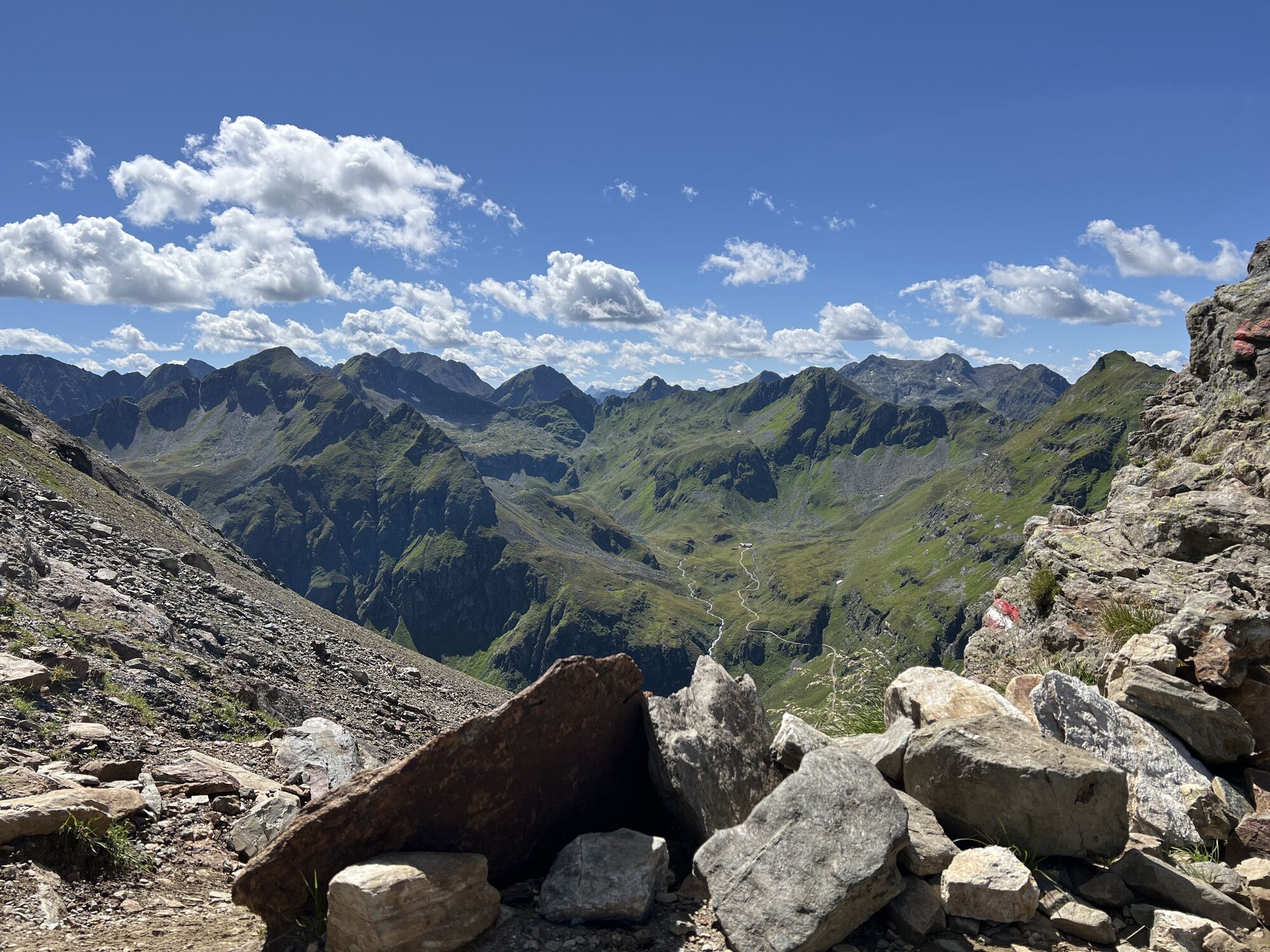
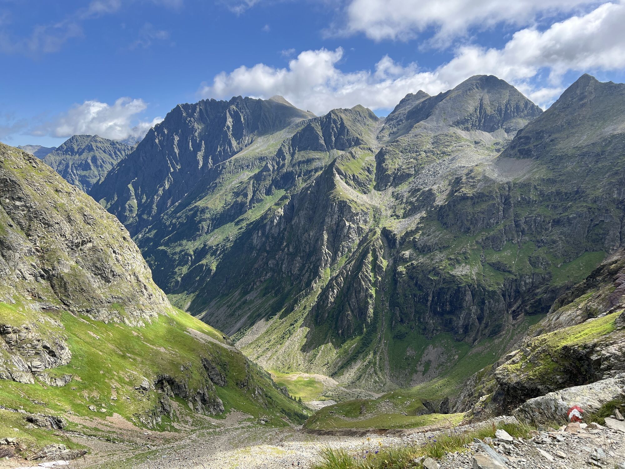
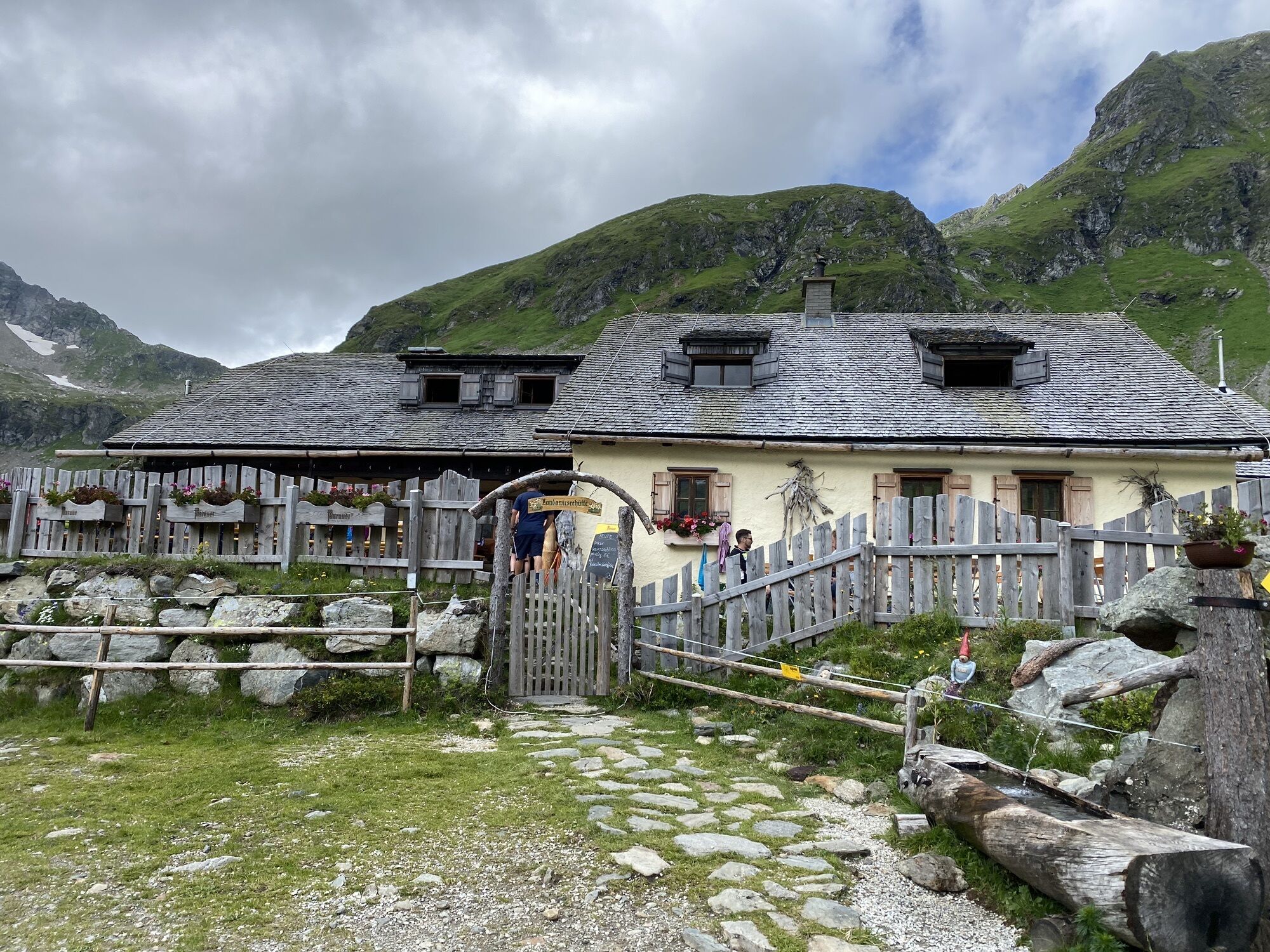
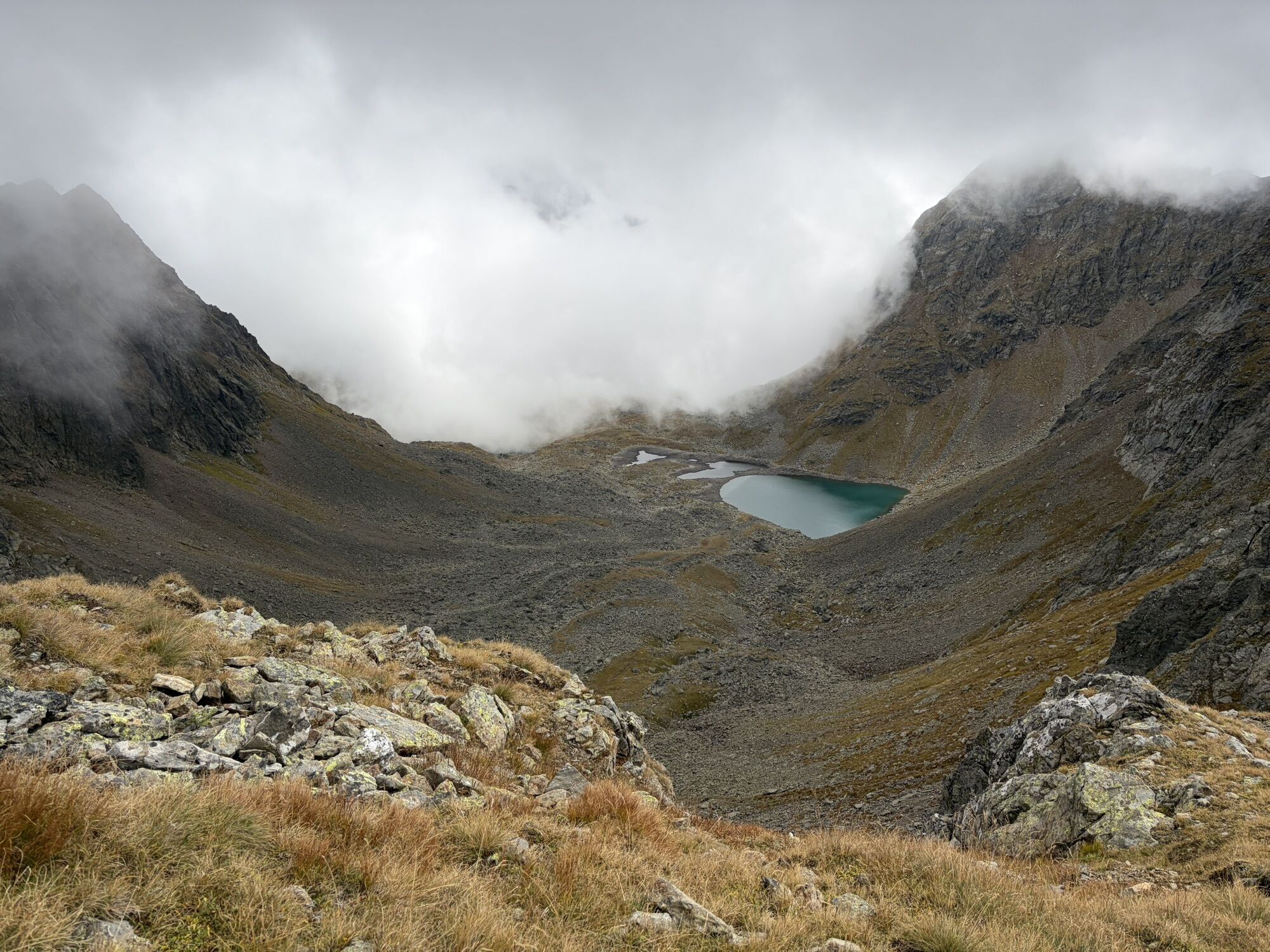
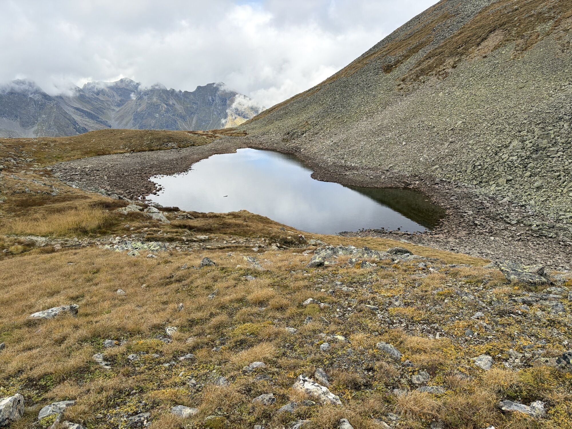
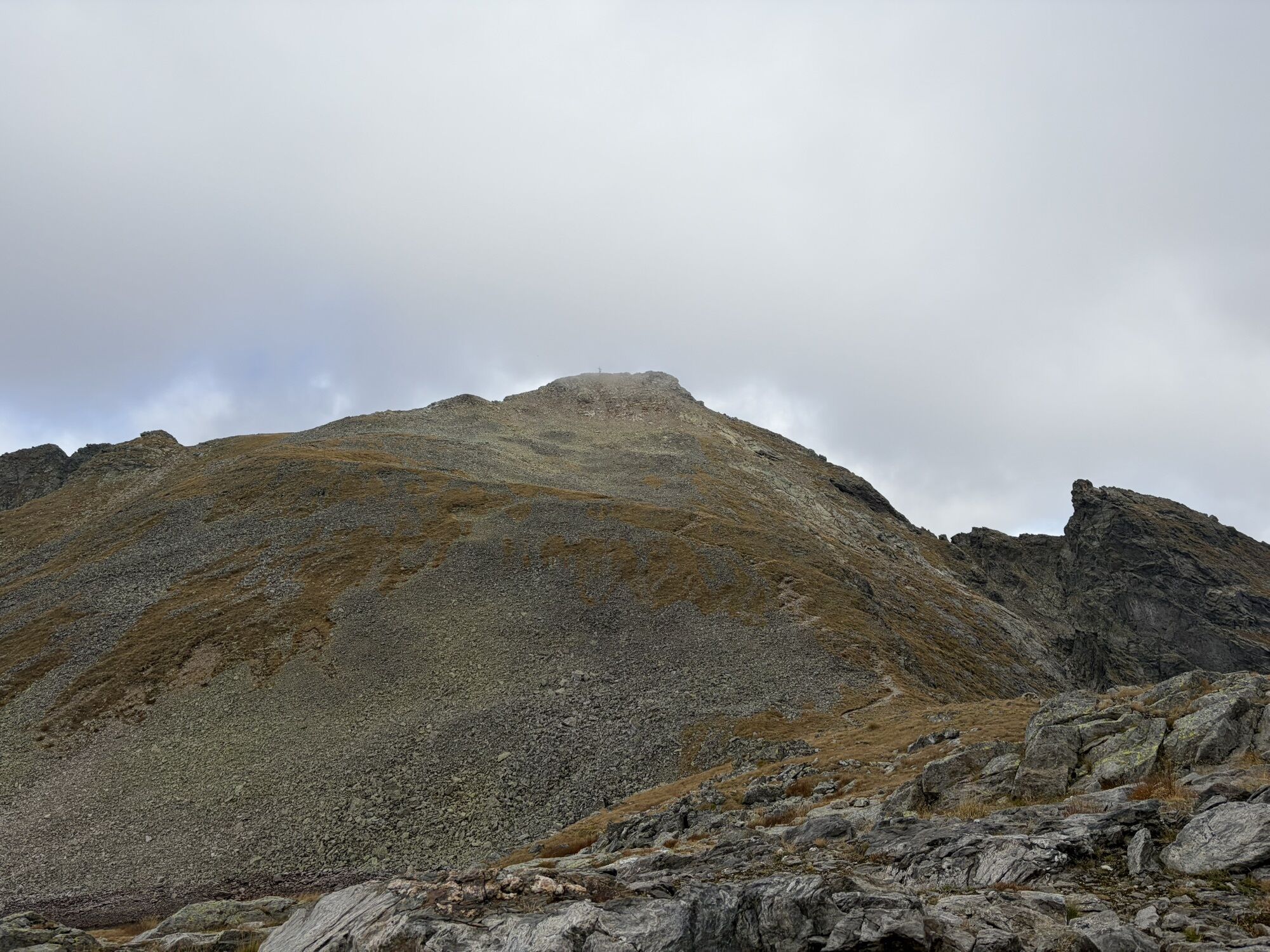
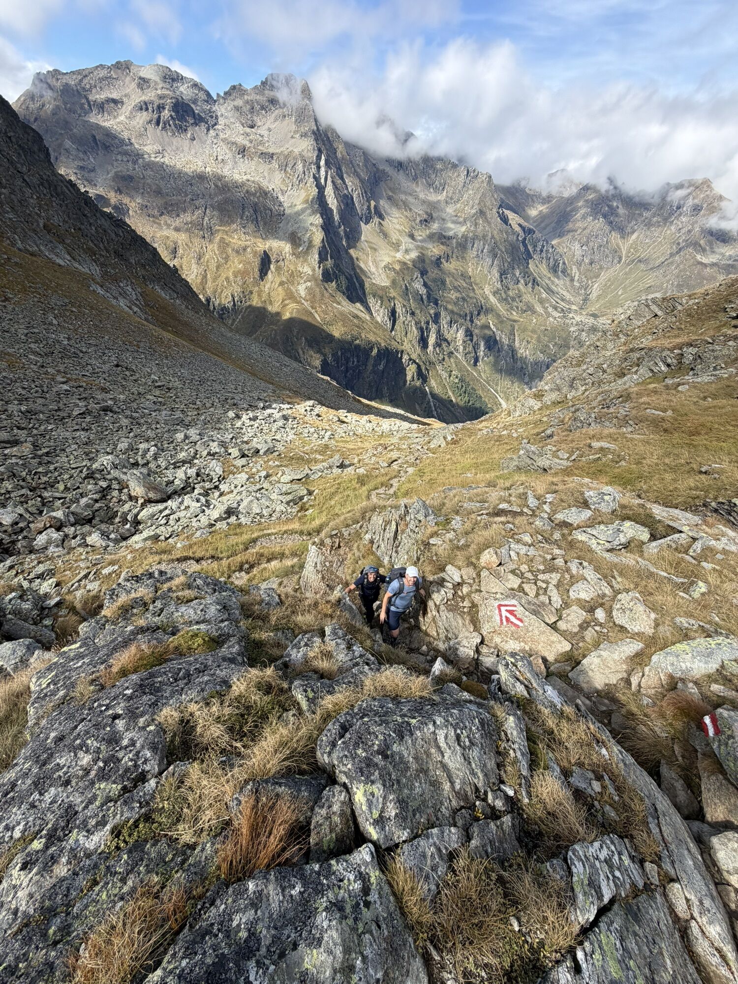
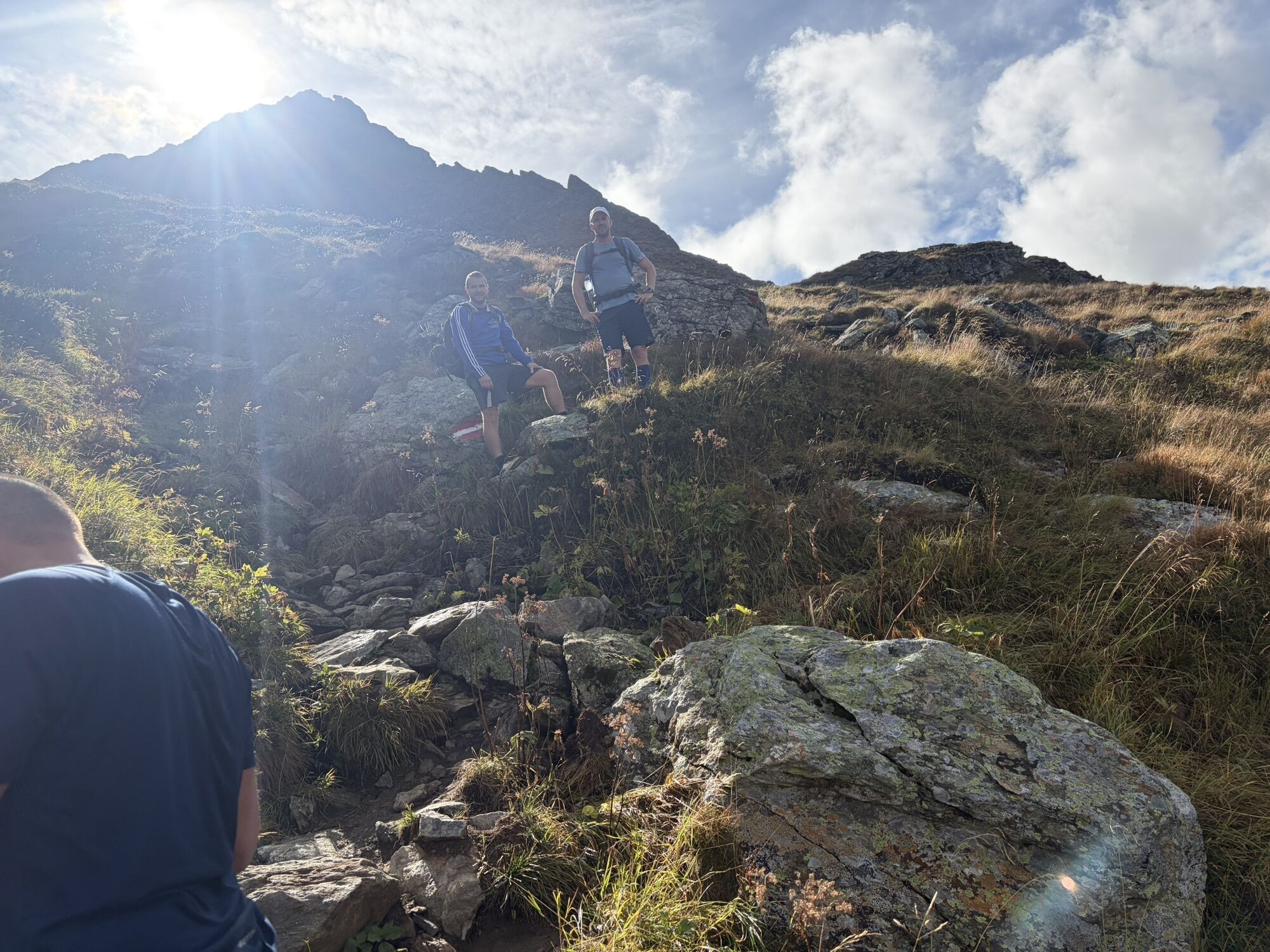
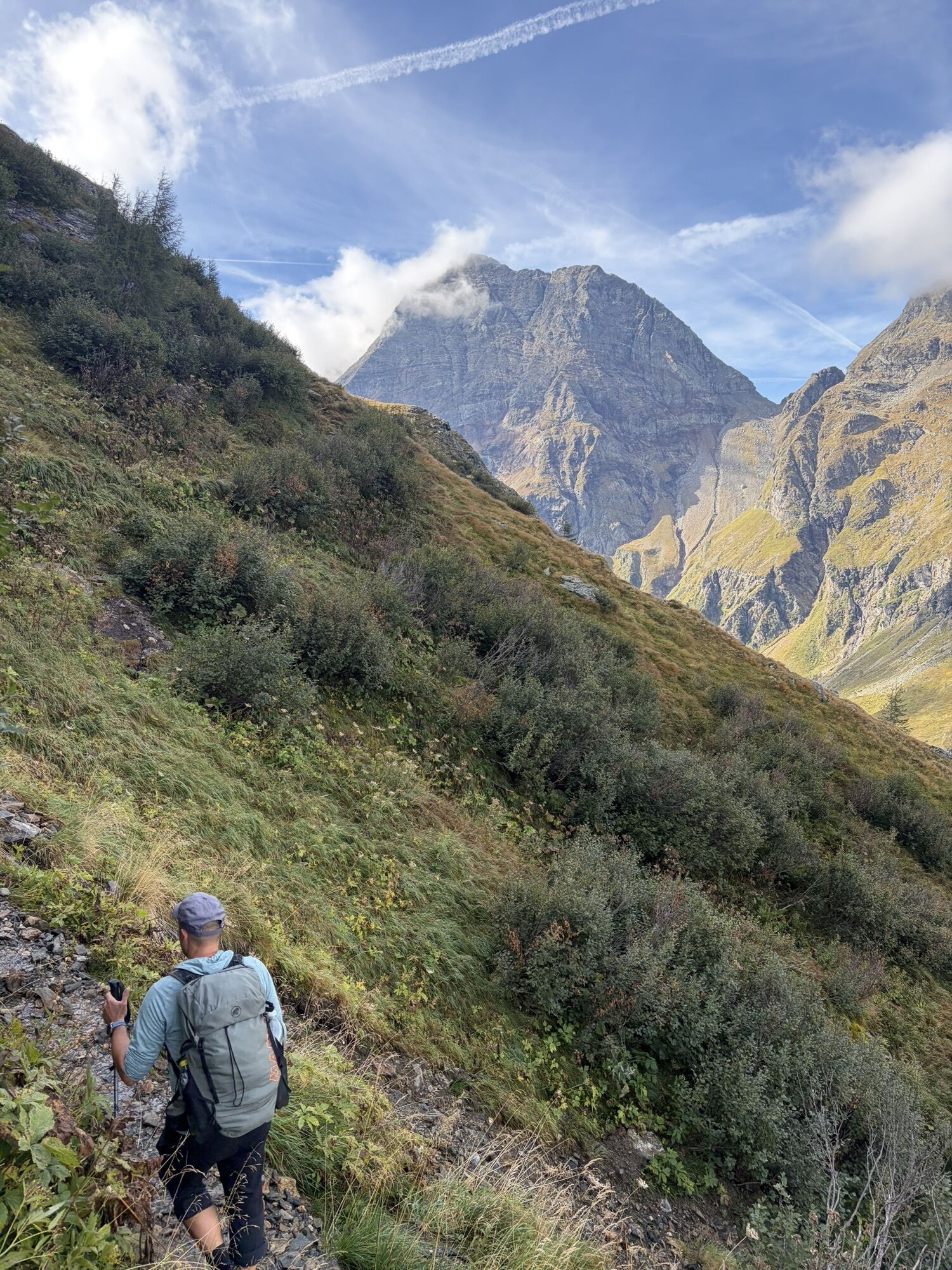
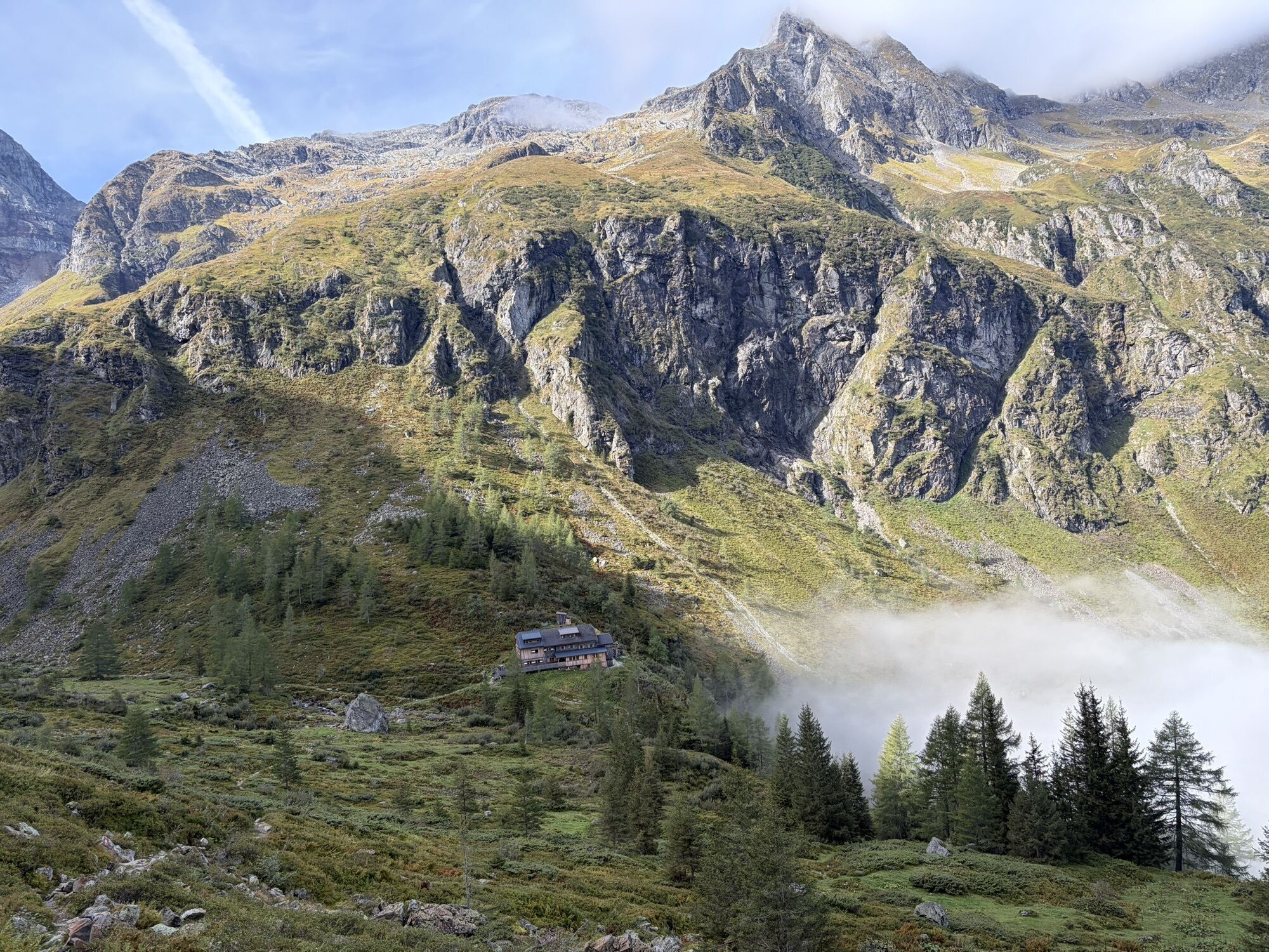
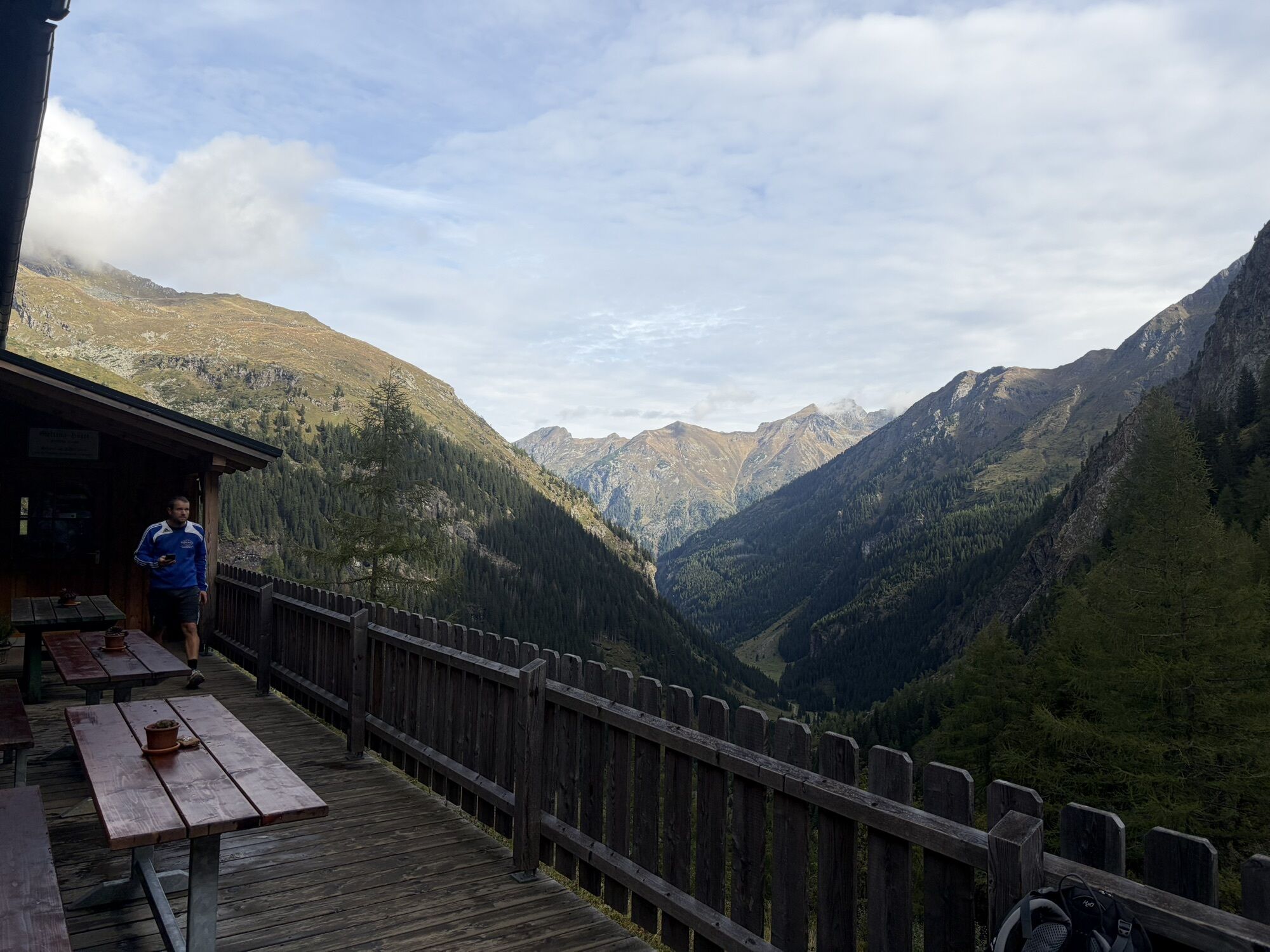
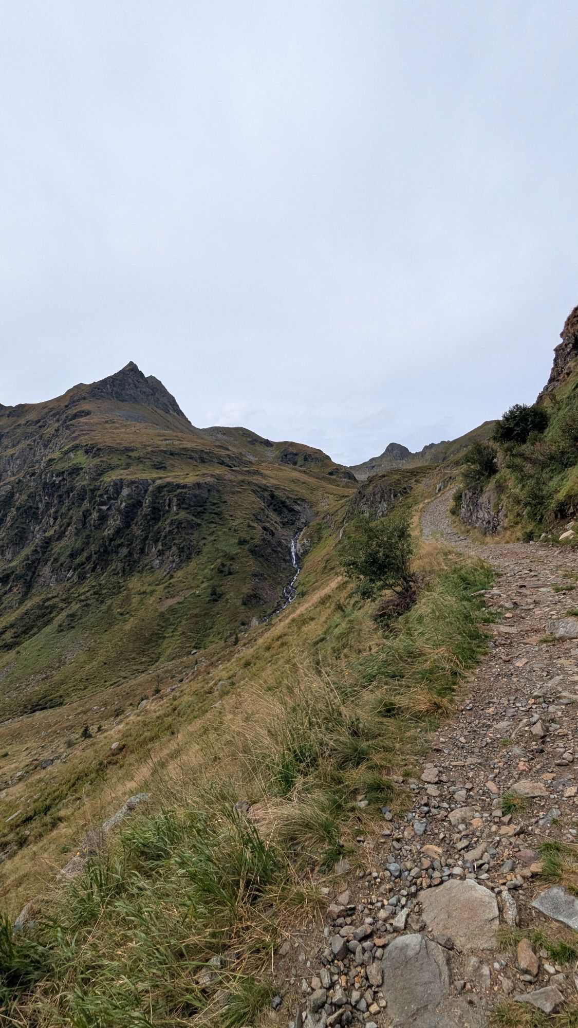
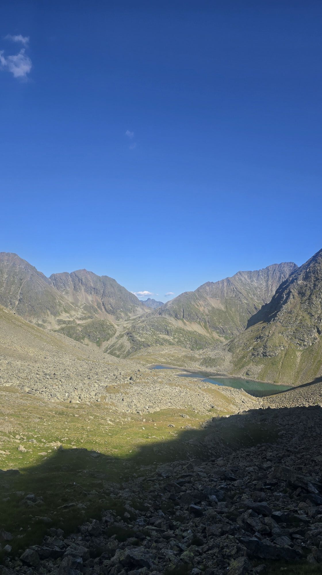
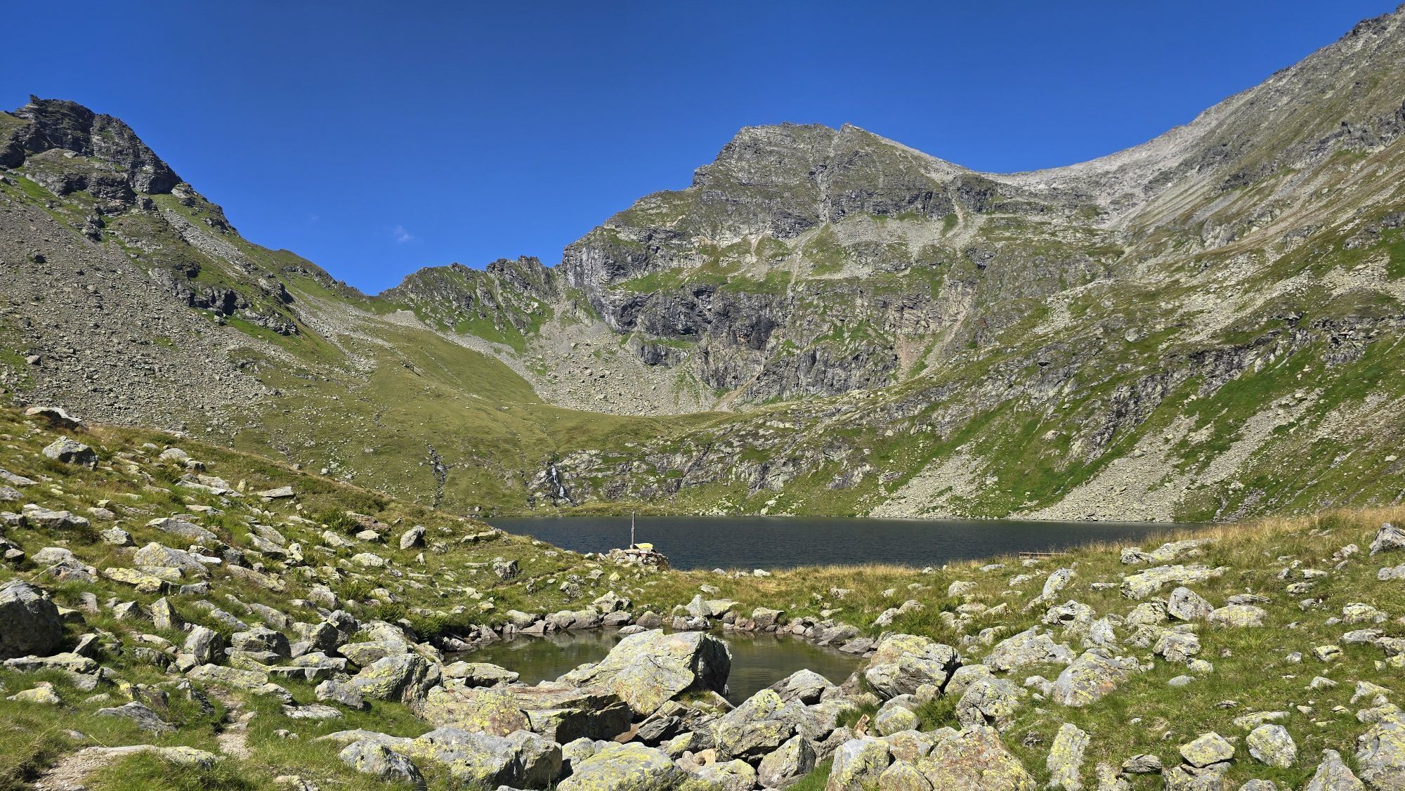
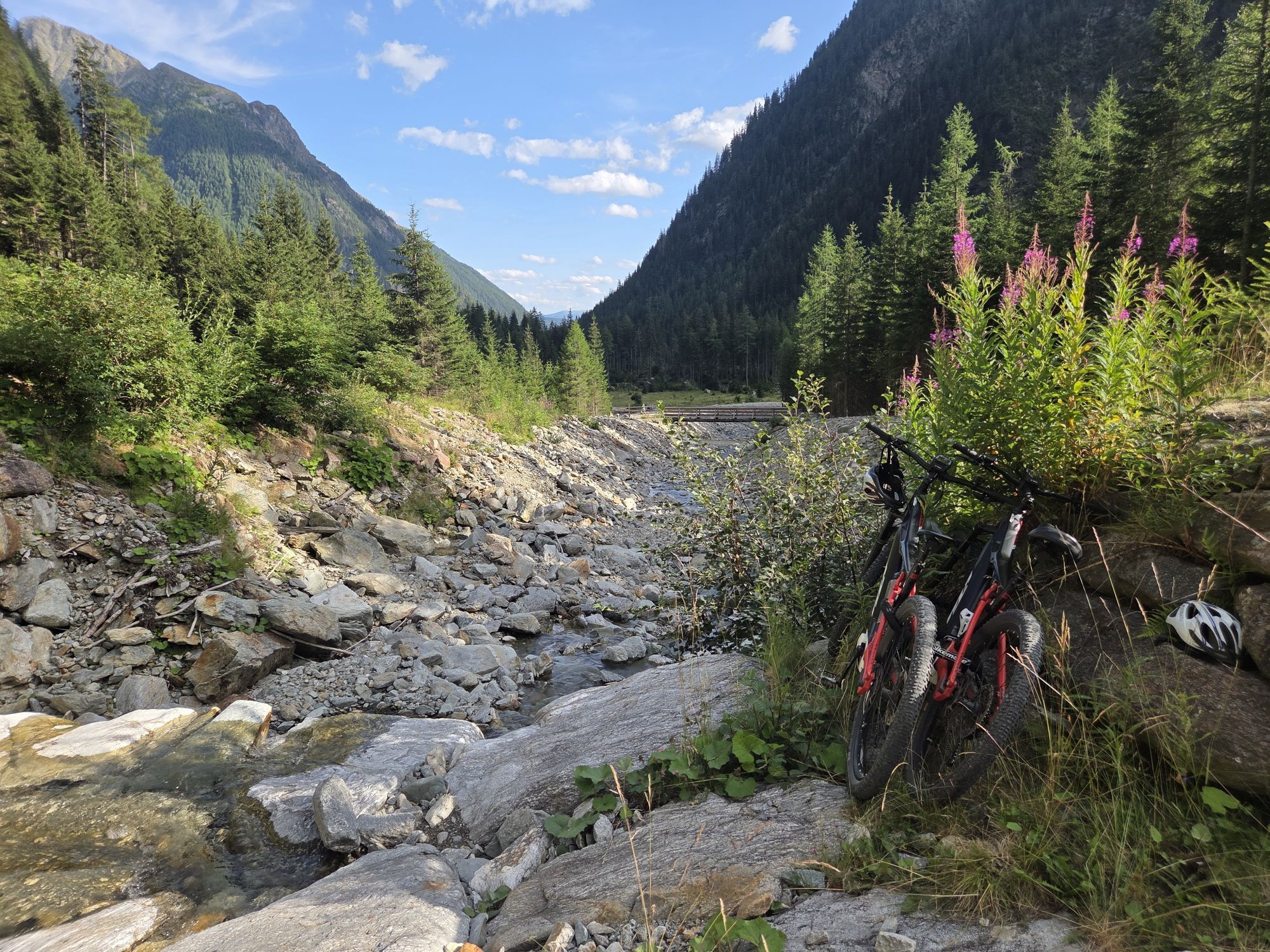
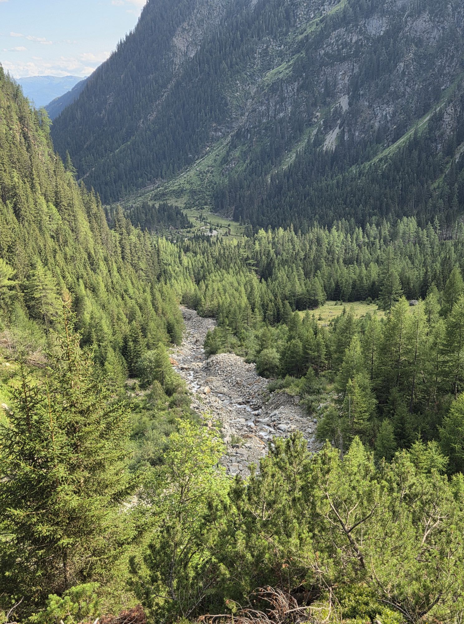
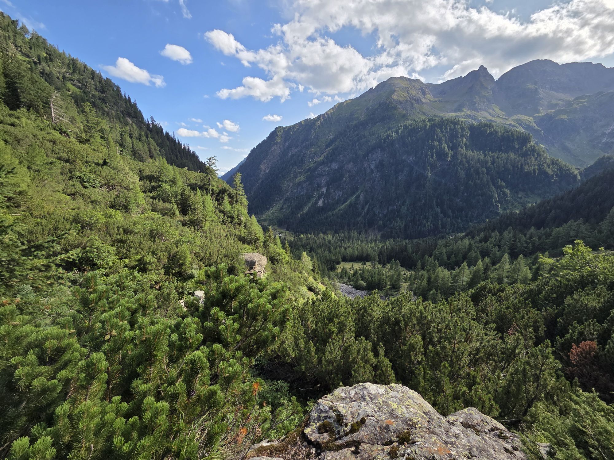
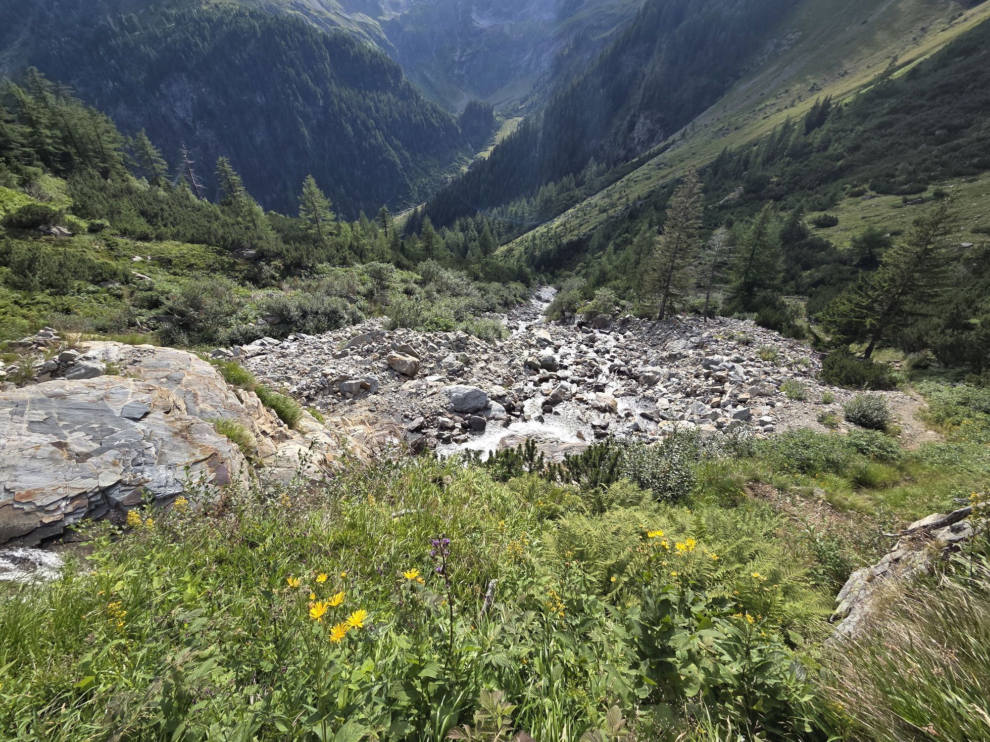
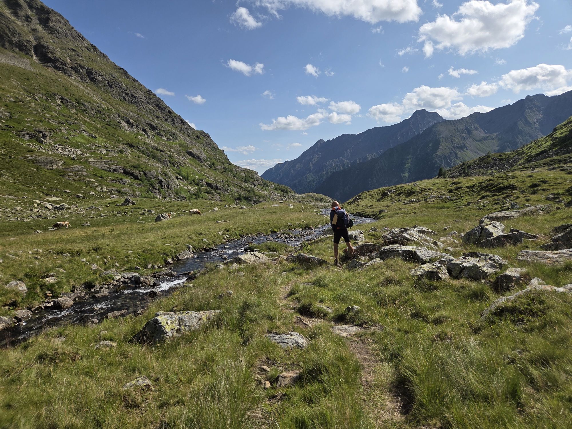
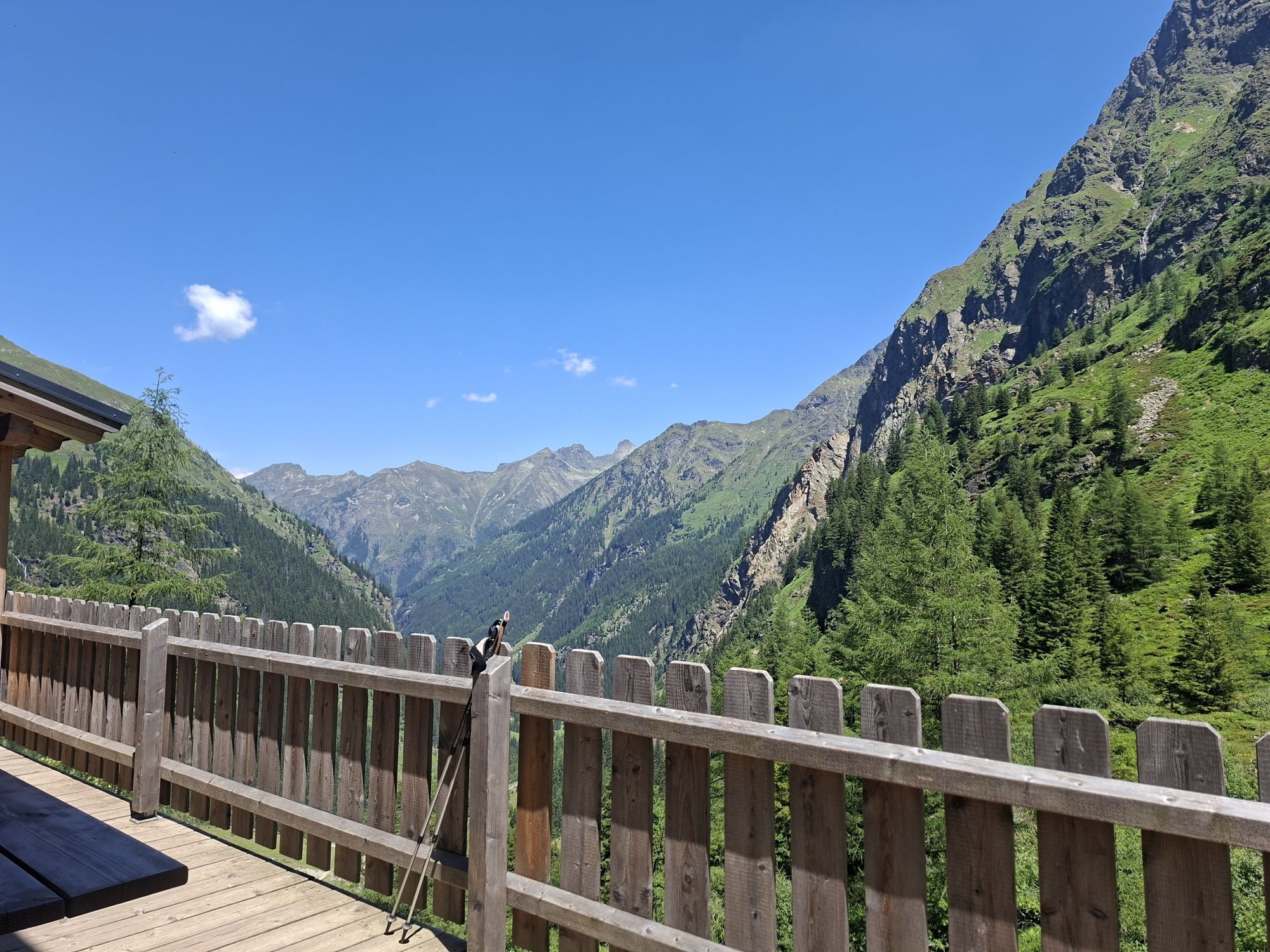
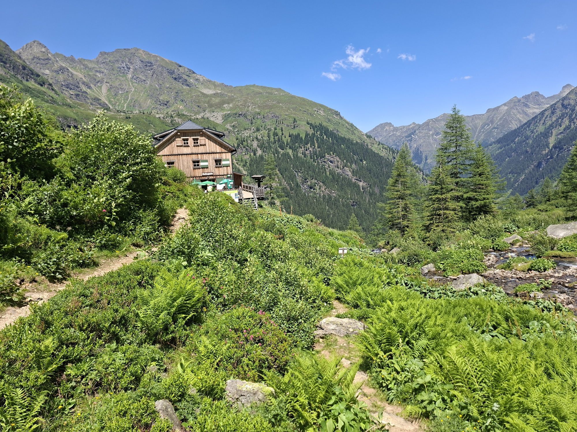
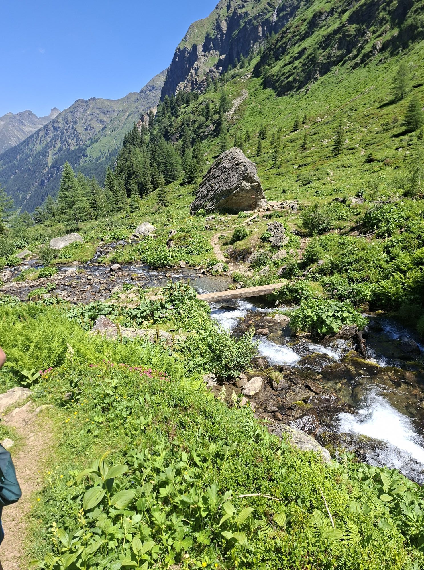
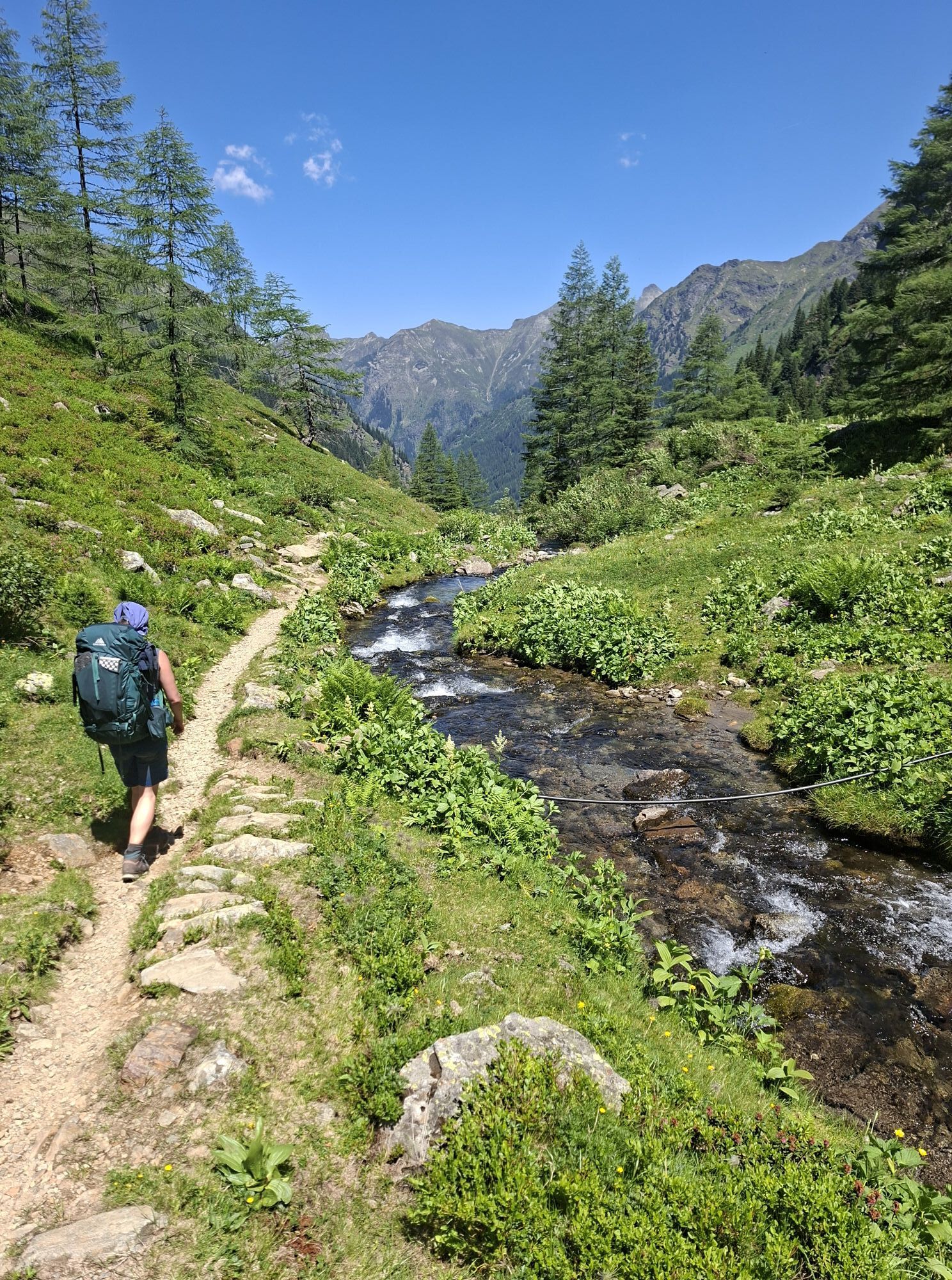
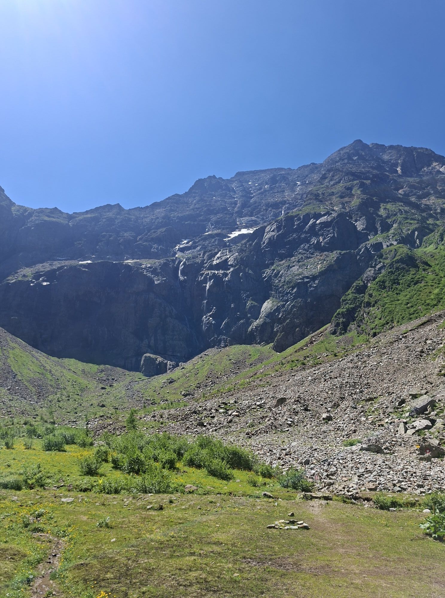

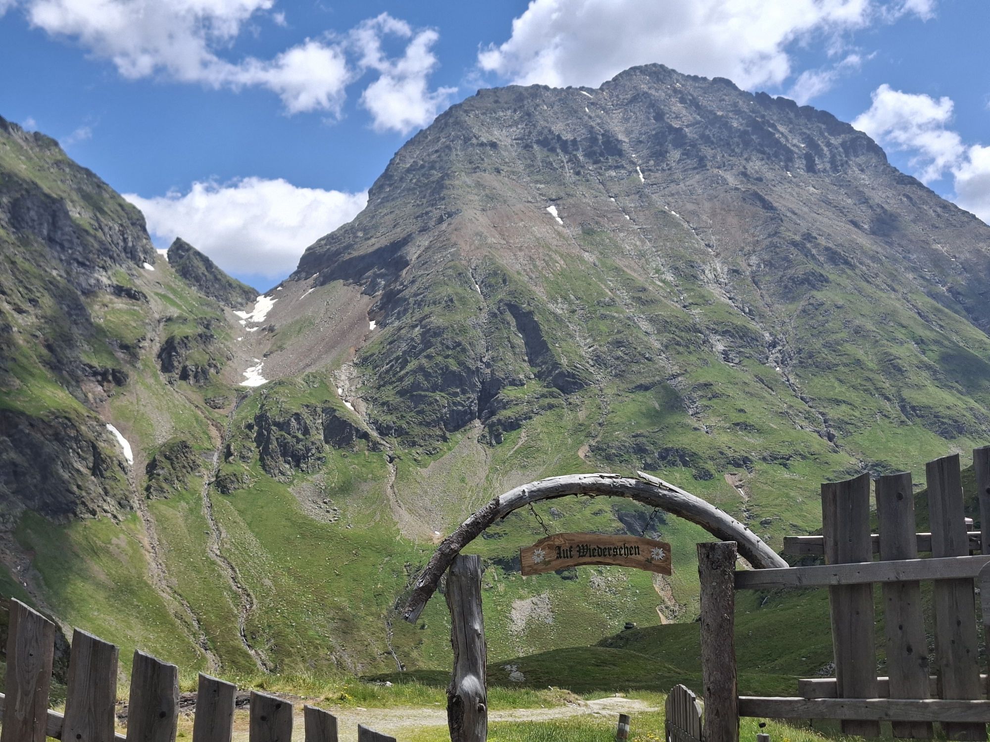
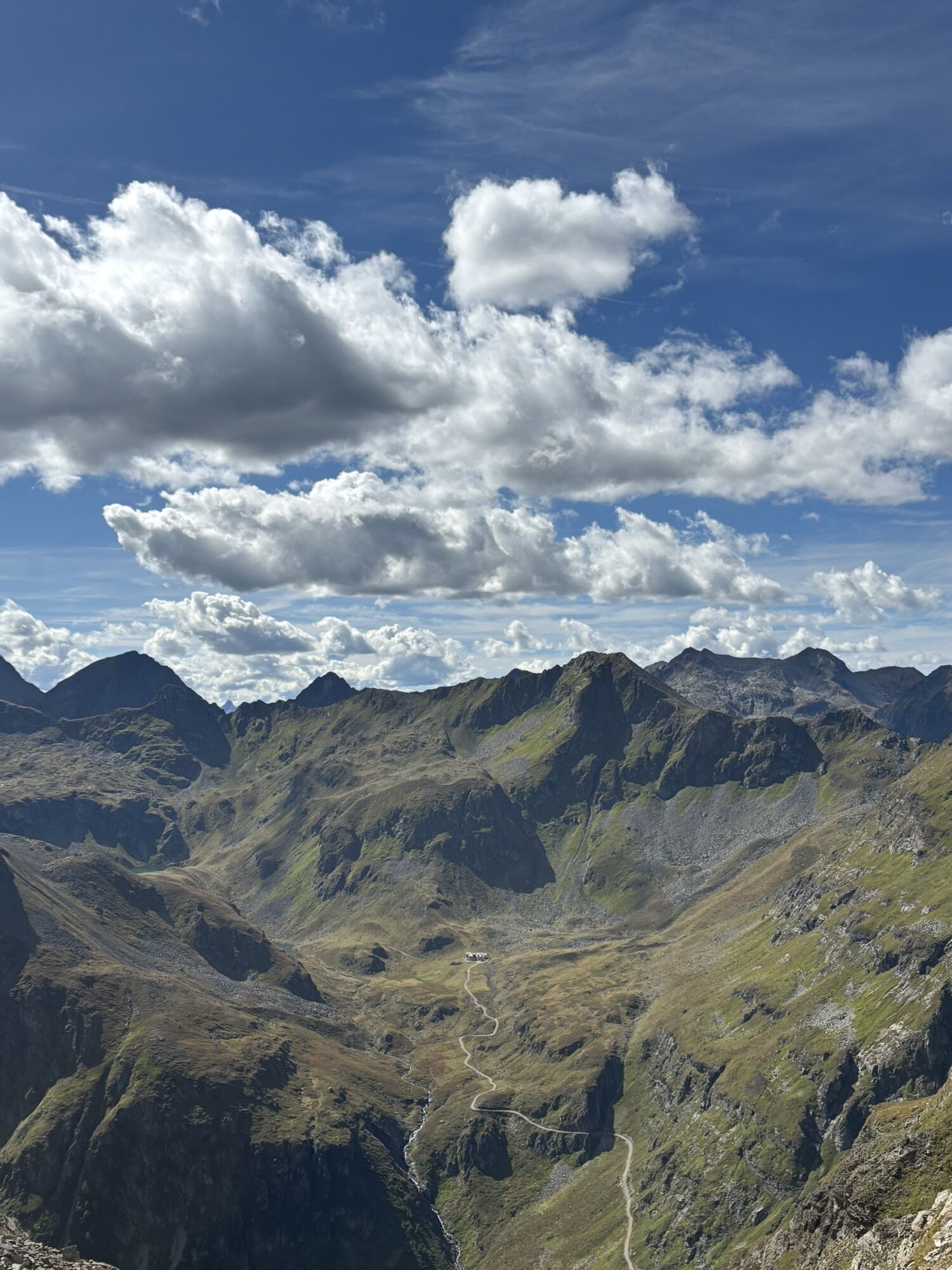
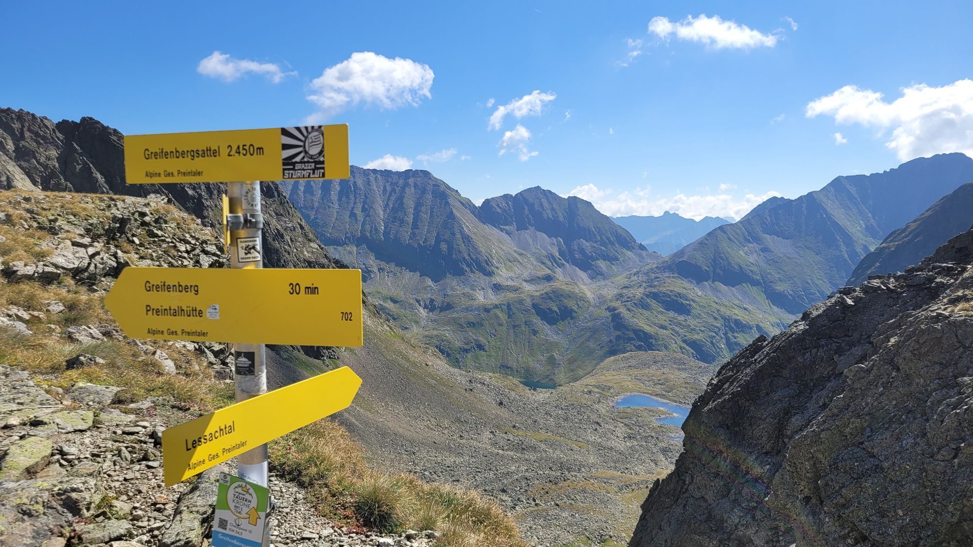
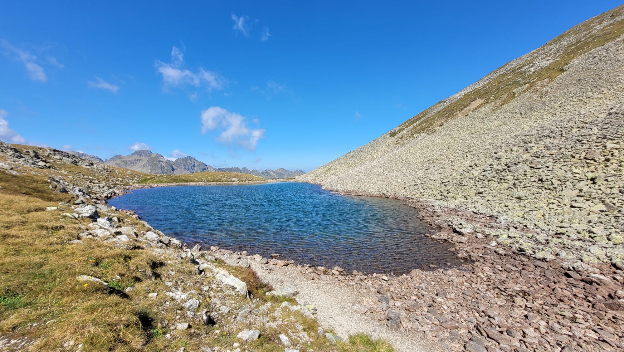
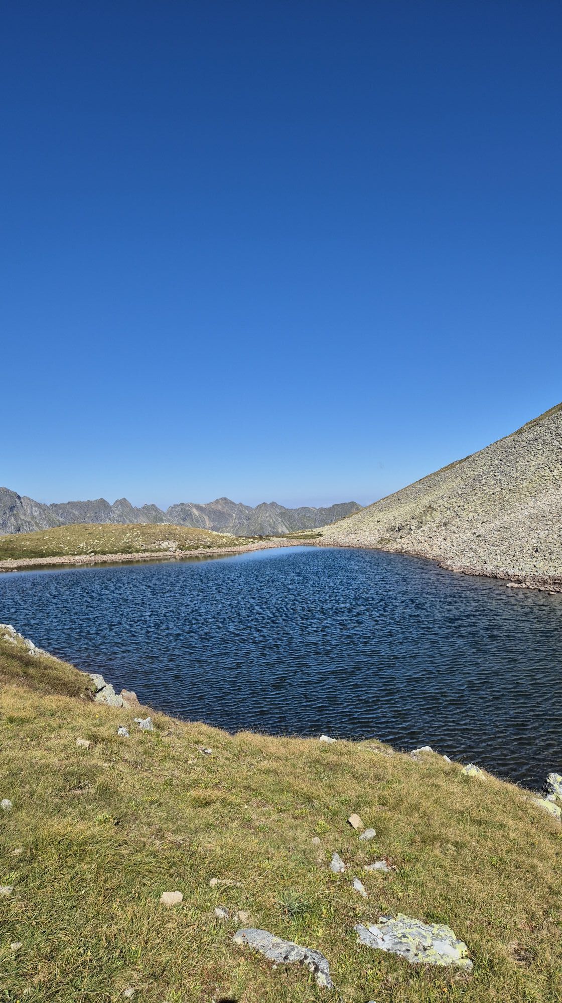
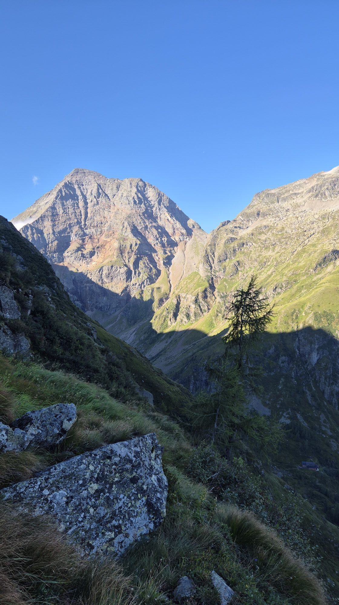
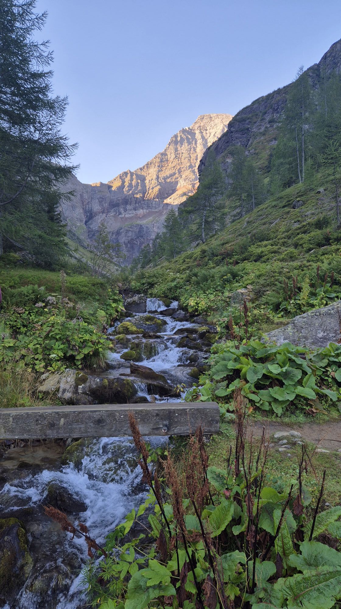
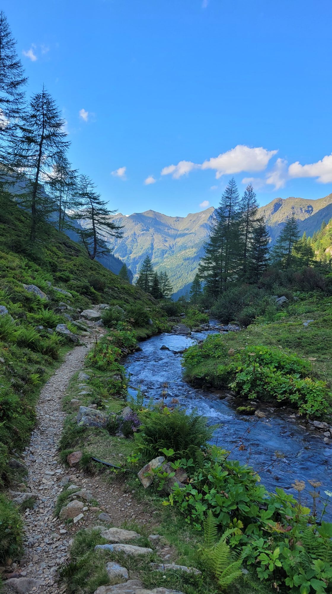
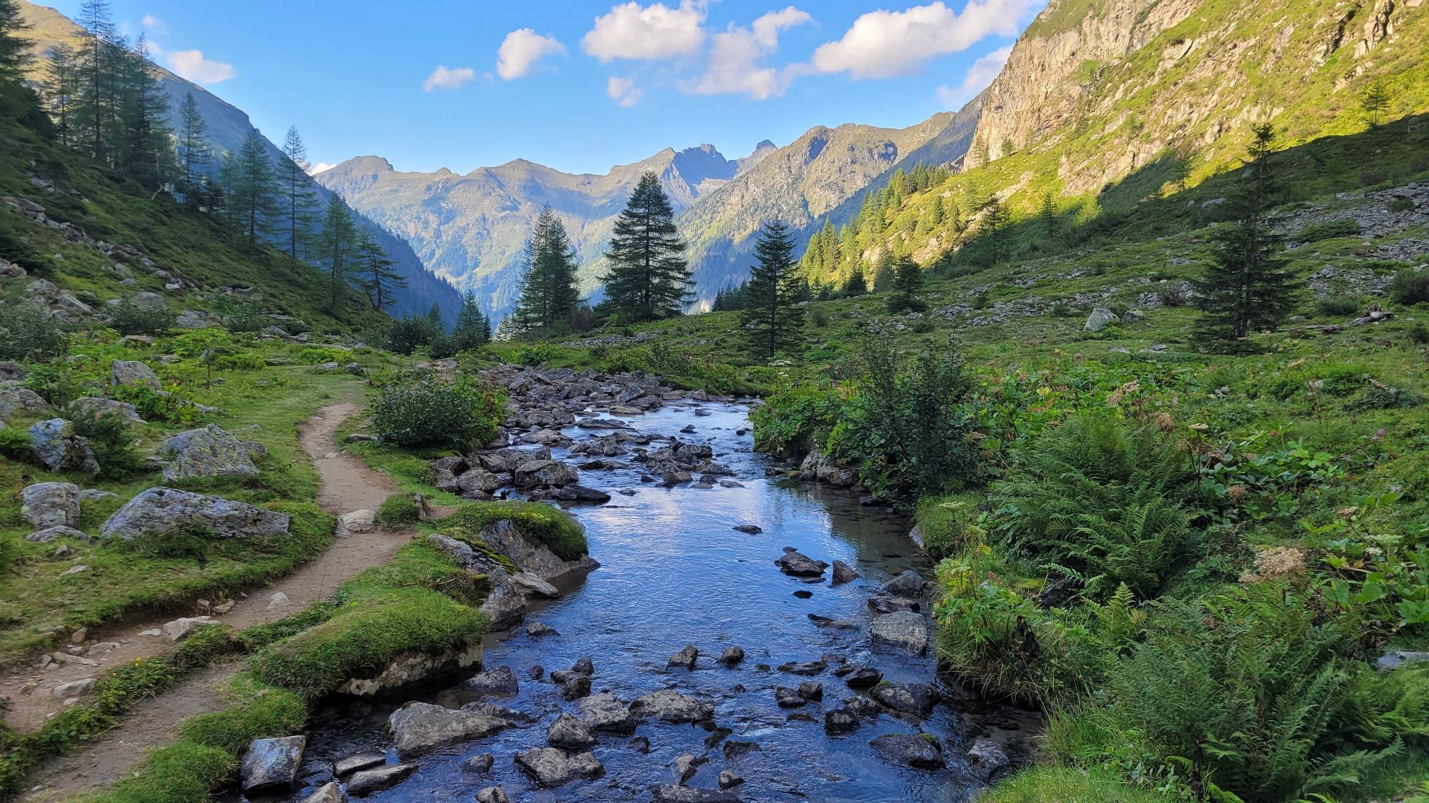
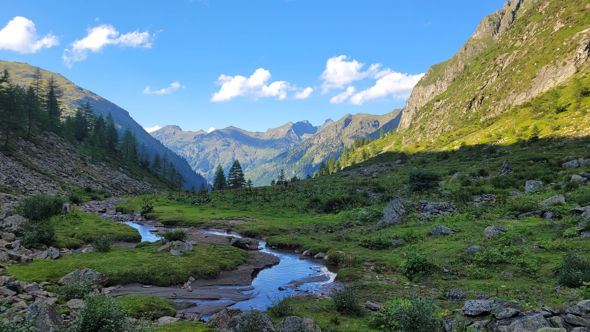
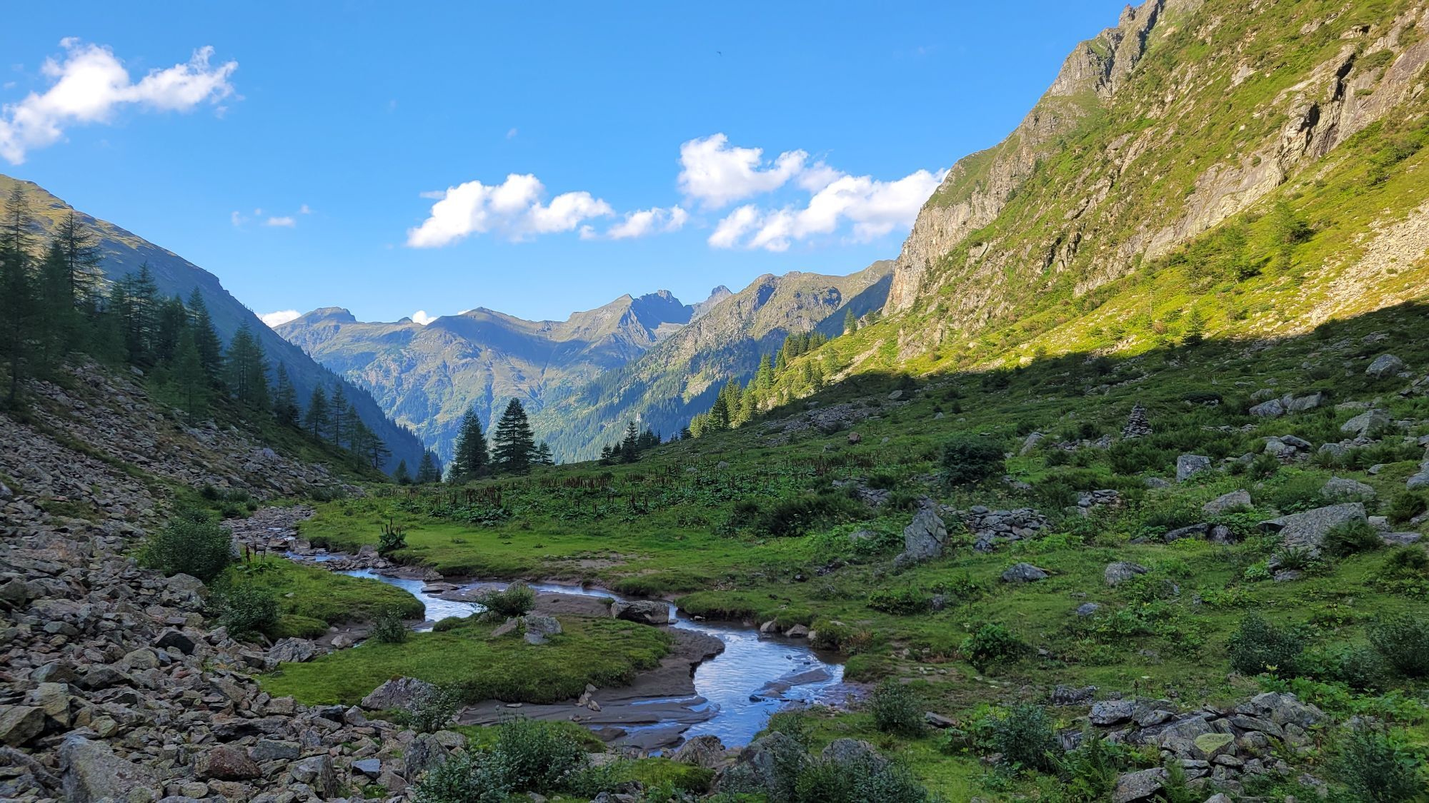
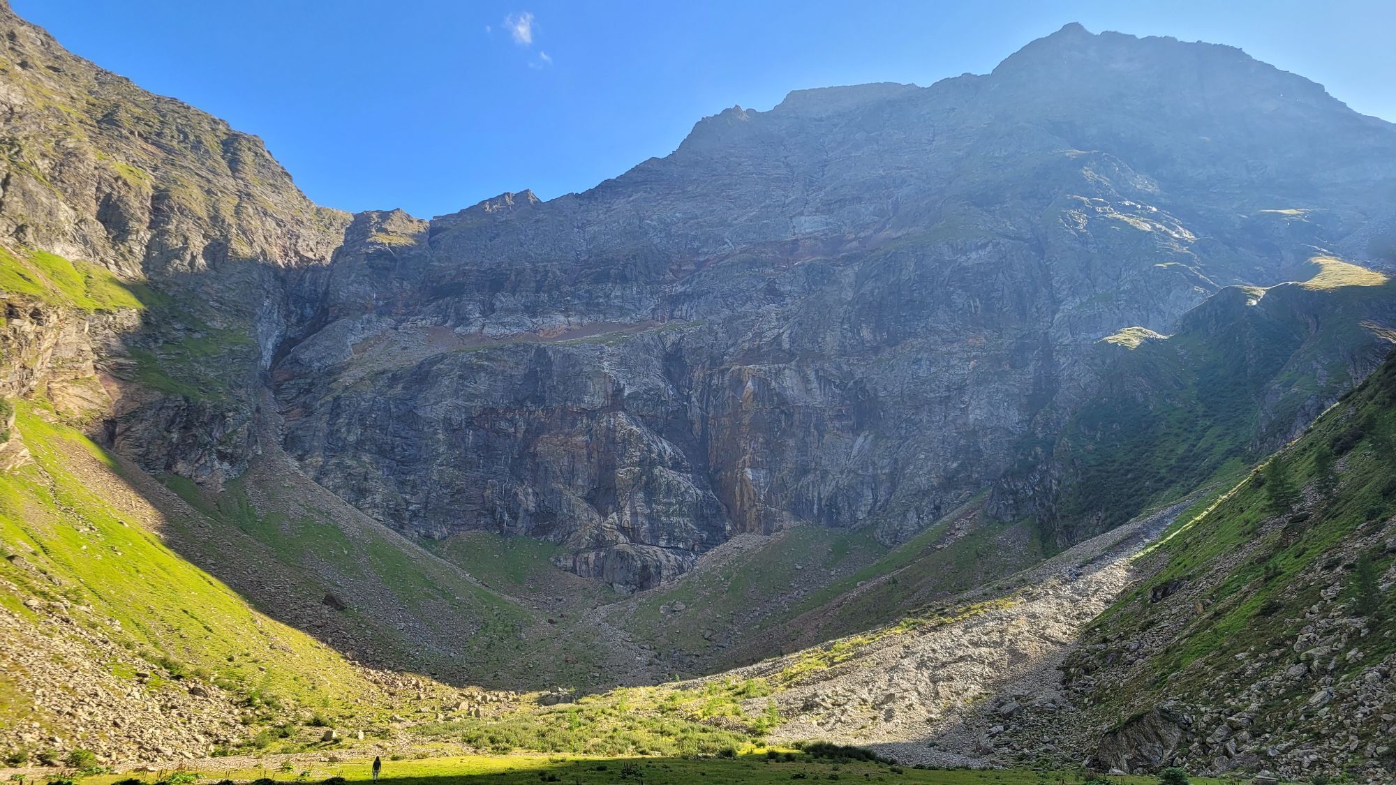
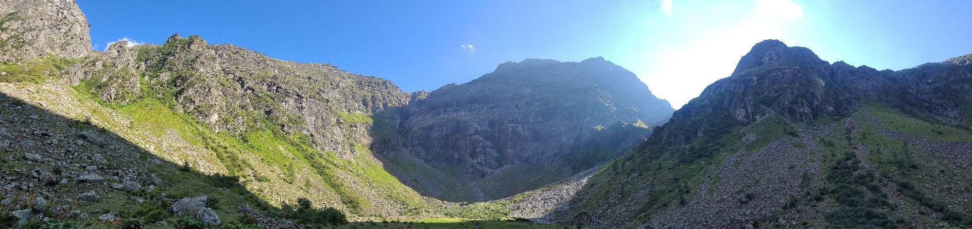
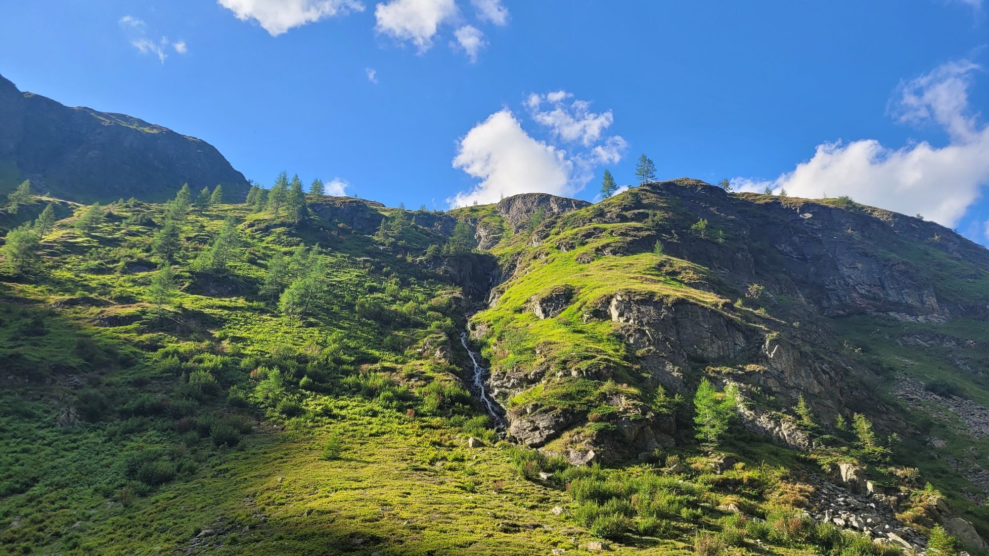
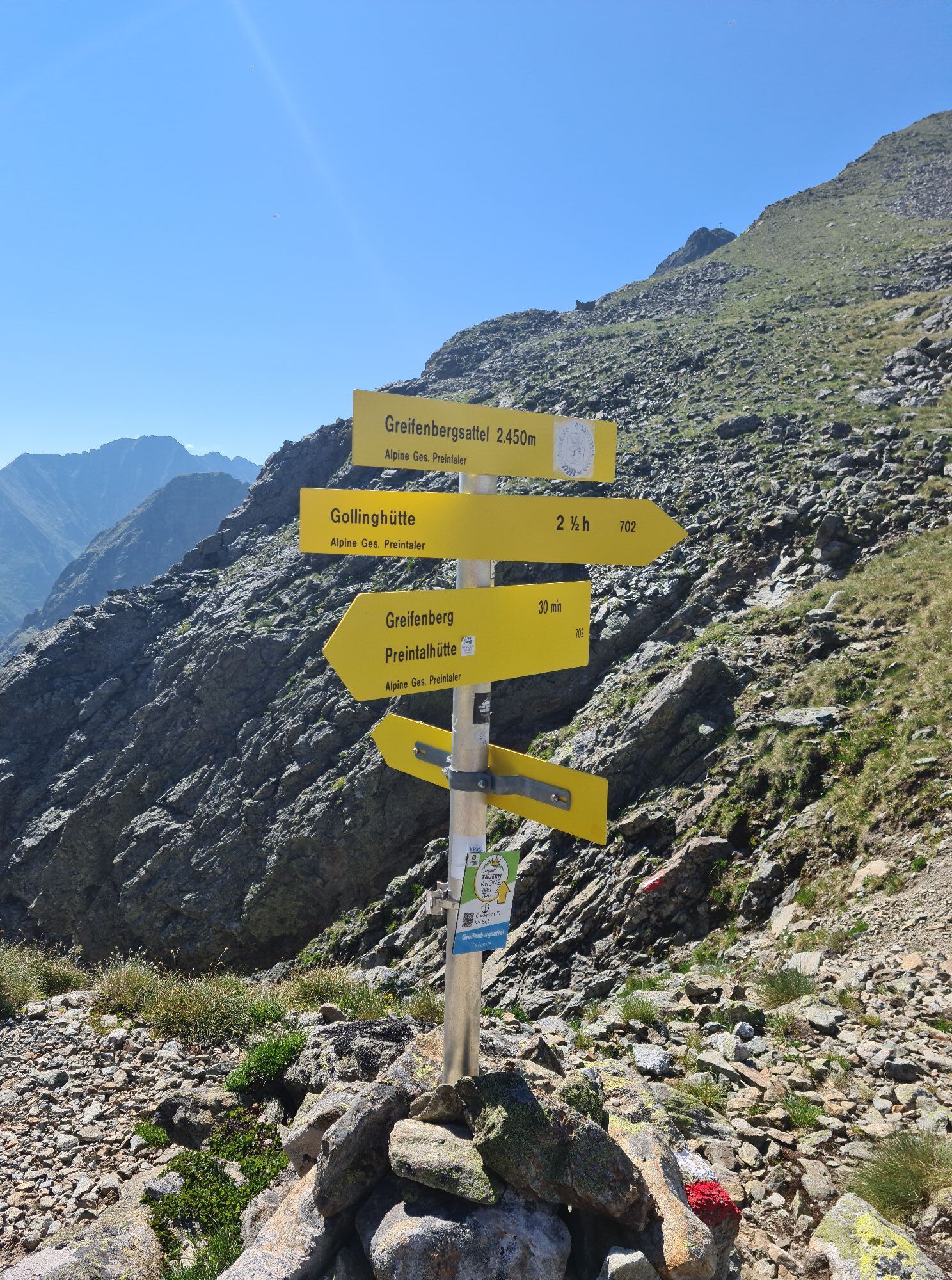
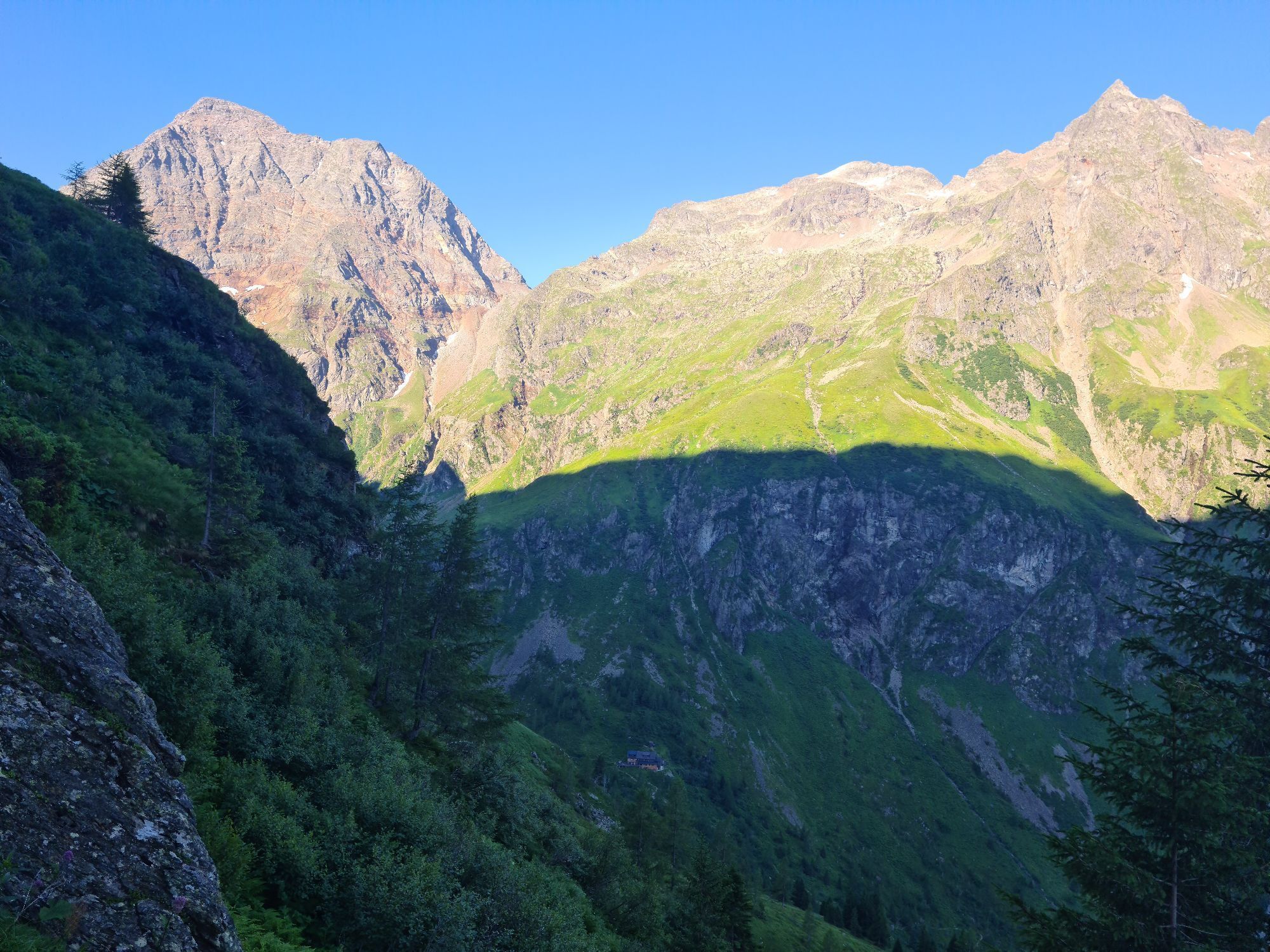
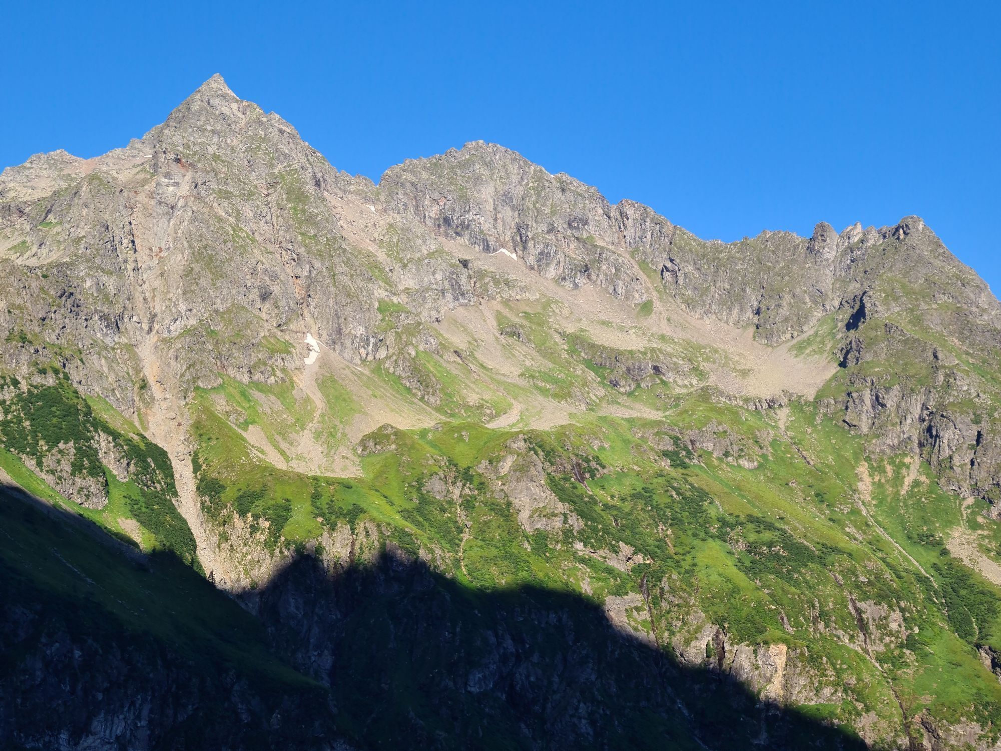
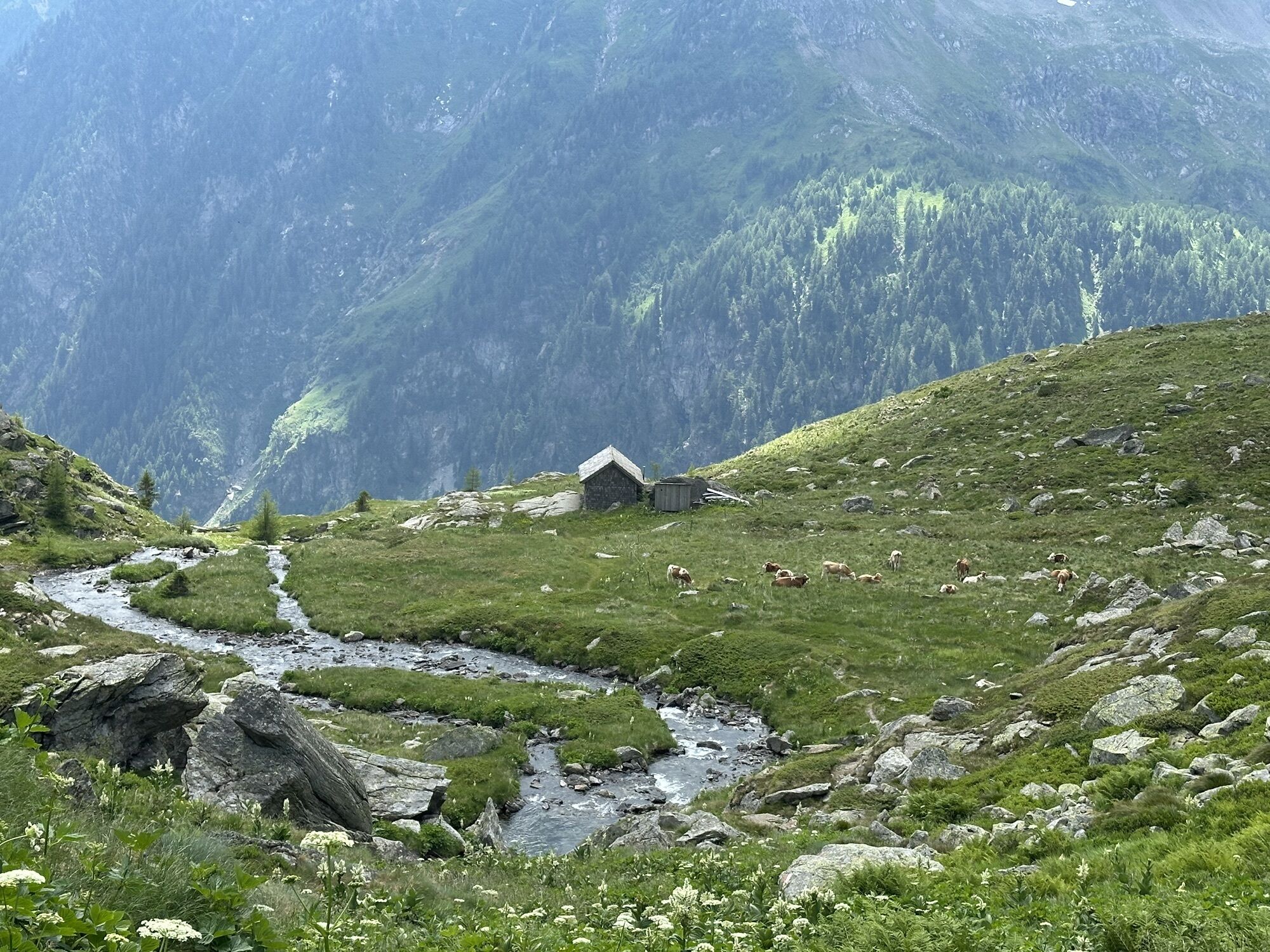
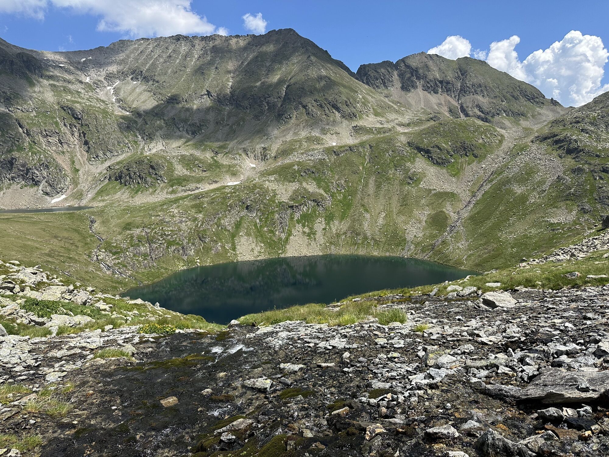
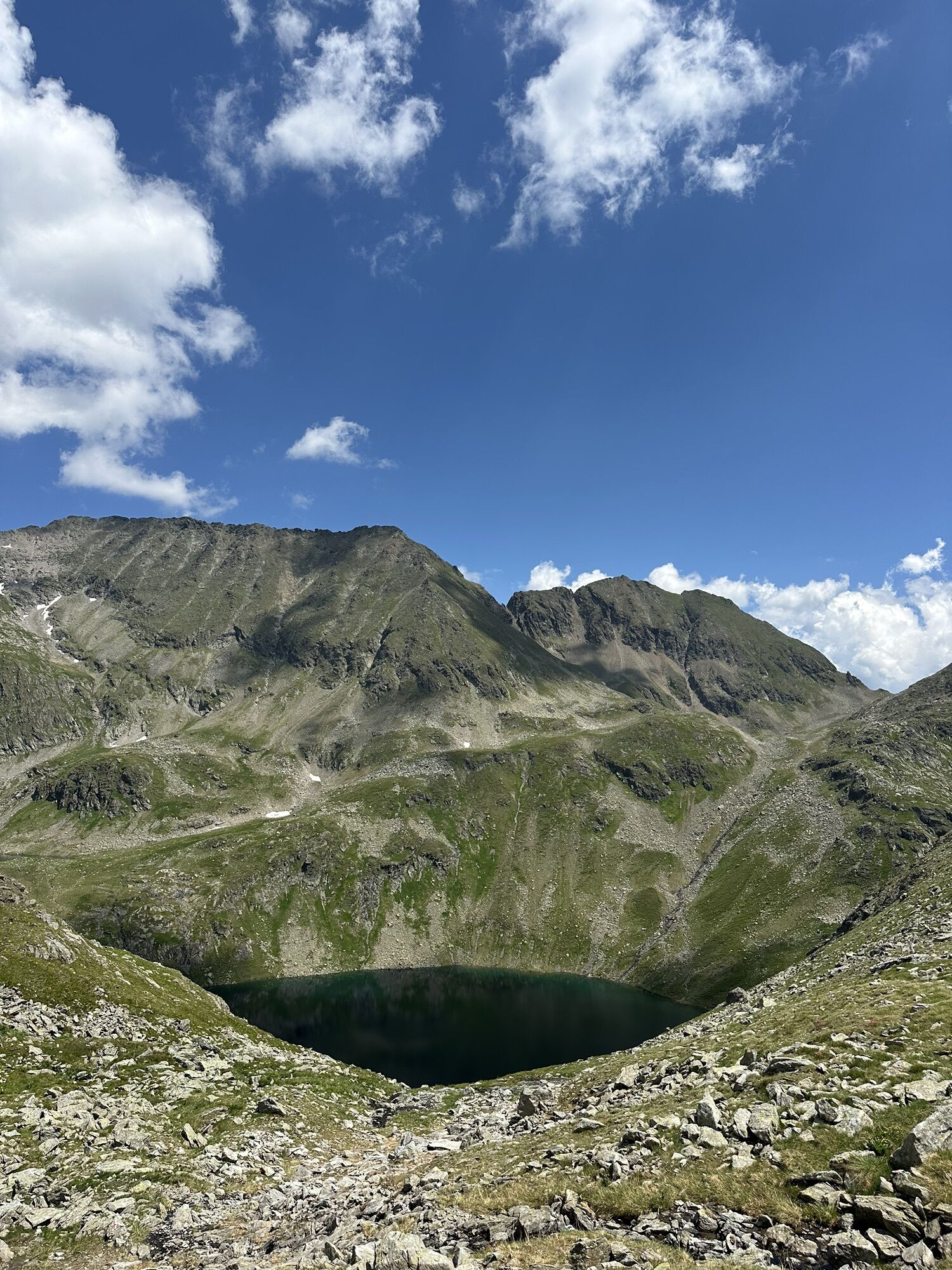
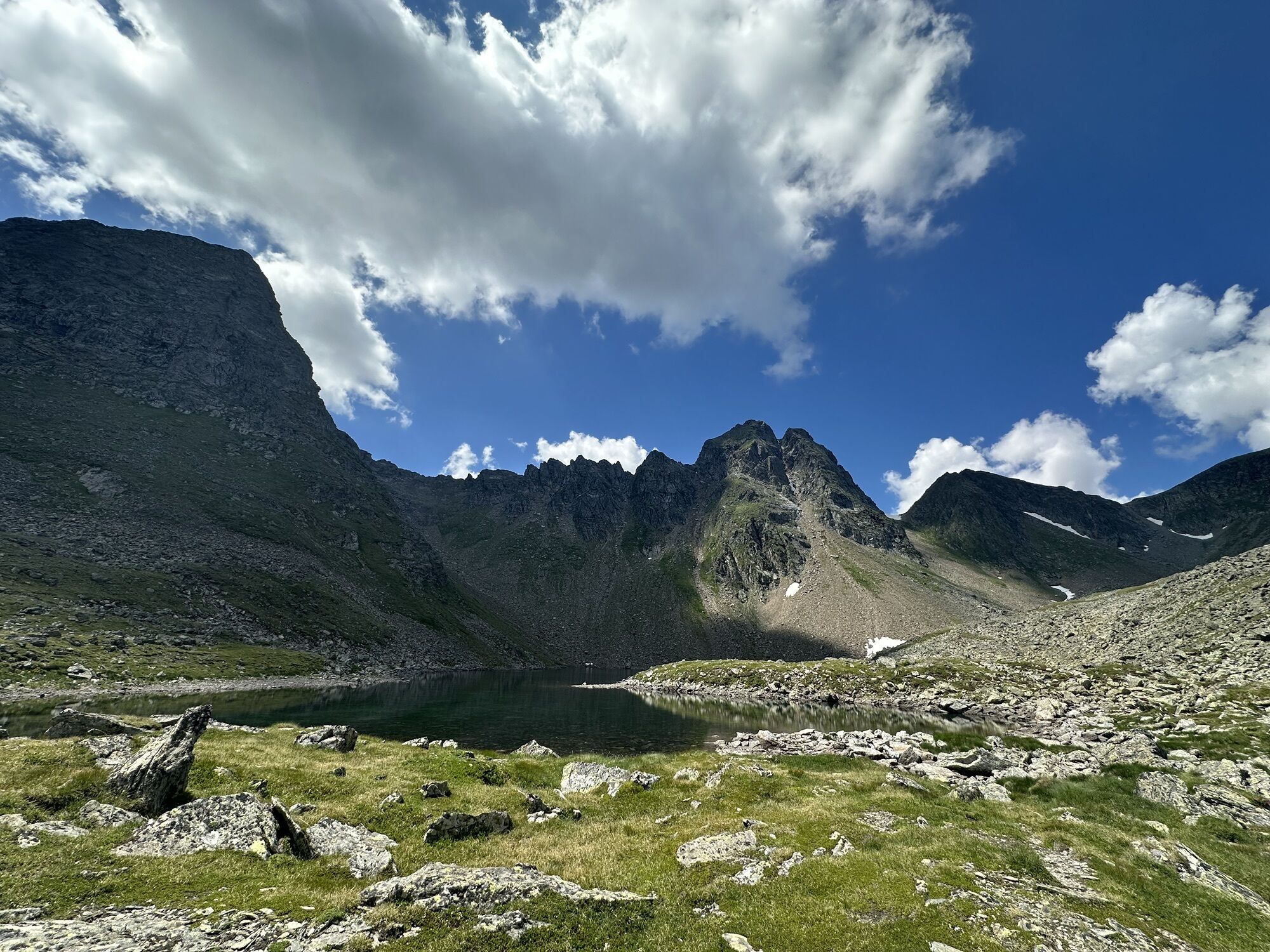
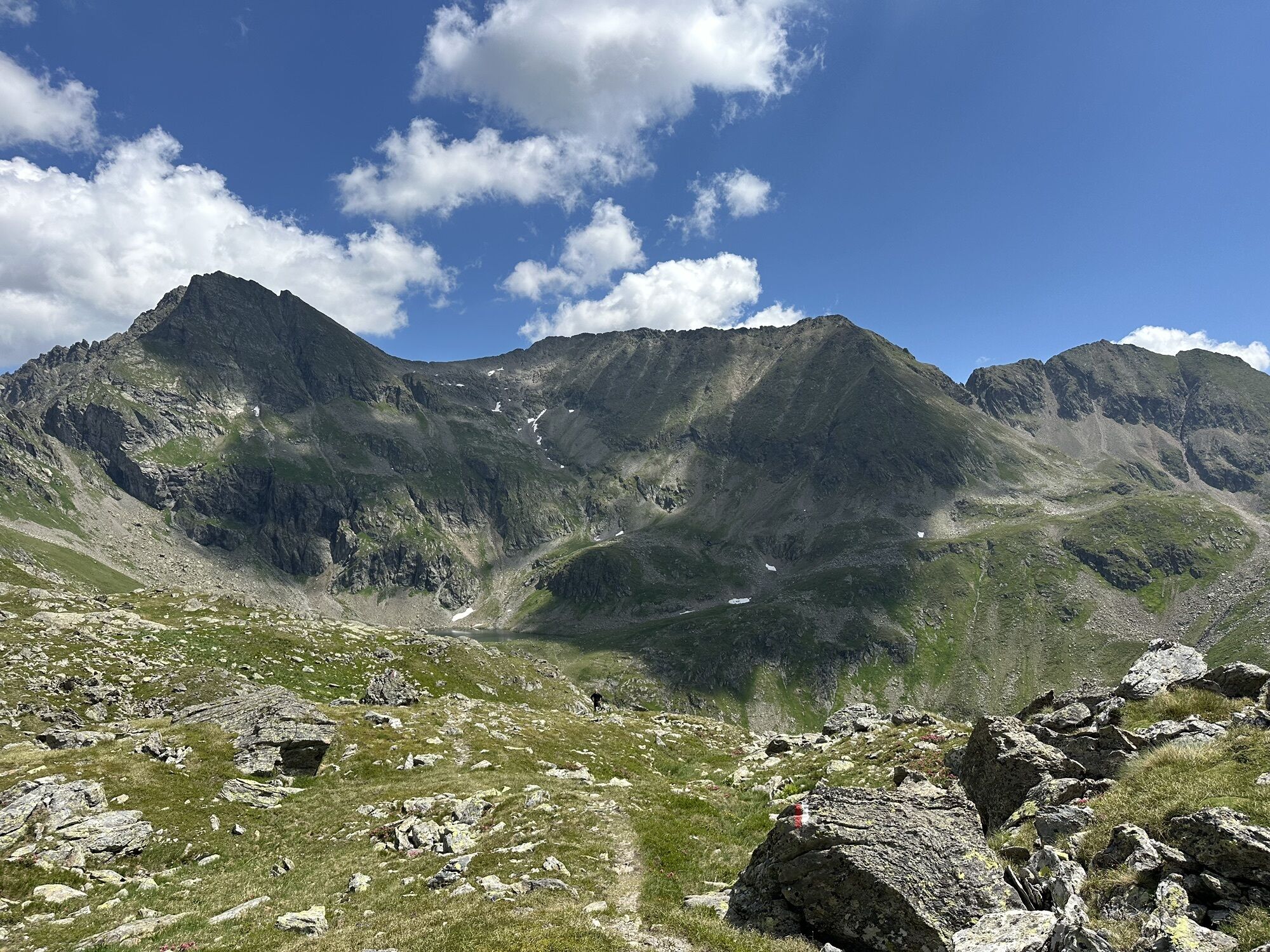
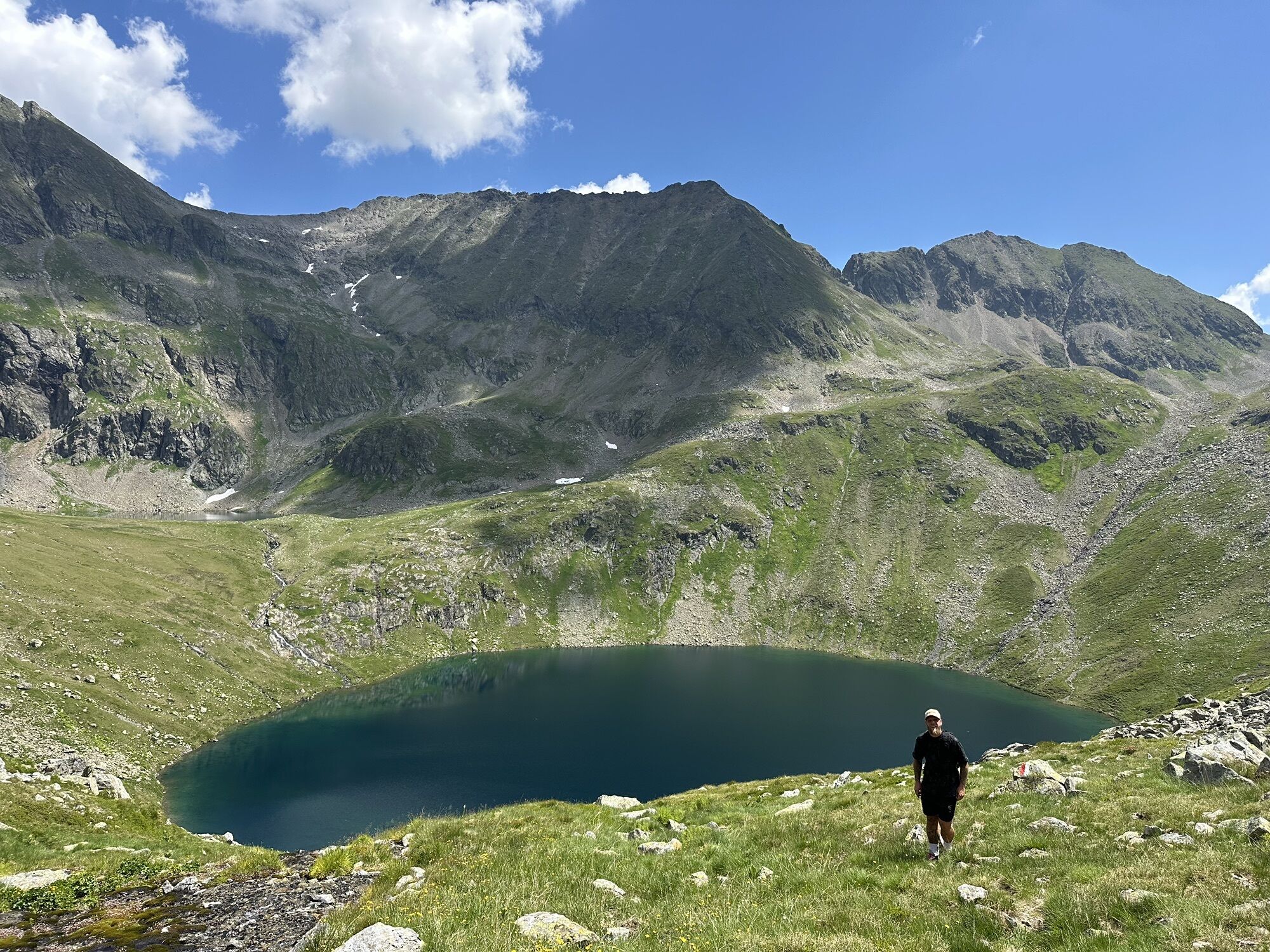
The fourth stage leads steeply up to the Gollingscharte, via the Gollingwinkel, where a secure footing is required on both sides.
The path from the rear valley floor to the Gollinghütte is easy, but a long...
Description
The fourth stage leads steeply up to the Gollingscharte, via the Gollingwinkel, where a secure footing is required on both sides.
The path from the rear valley floor to the Gollinghütte is easy, but a long rest is recommended before the next ascent. From the Gollinghütte, a partly steep ascent of almost 1,000 meters in elevation up to the Greifenbergsattel is waiting. The detour to the Greifenberg is short and rewarding. The path down into the lower Lessachtal valley initially leads past the Lungauer Klaffersee and Zwerfenbergsee lakes, which are also perfect for a refreshing swim. Once you reach the lower Lessachtal, you have to plan another 3 kilometers to the Laßhoferalm. Please note that the Laßhoferalm does not offer overnight accommodation. Until September 10th you can use the hiking bus. This is a bus, which must be informed 2 hours before departure if it is needed, departure is at 15:55.
The path from the rear valley floor to the Gollinghütte is easy, but a long rest is recommended before the next ascent. From the Gollinghütte, a partly steep ascent of almost 1,000 meters in elevation up to the Greifenbergsattel is waiting. The detour to the Greifenberg is short and rewarding. The path down into the lower Lessachtal valley initially leads past the Lungauer Klaffersee and Zwerfenbergsee lakes, which are also perfect for a refreshing swim. Once you reach the lower Lessachtal, you have to plan another 3 kilometers to the Laßhoferalm. Please note that the Laßhoferalm does not offer overnight accommodation. Until September 10th you can use the hiking bus. This is a bus, which must be informed 2 hours before departure if it is needed, departure is at 15:55.
Parcours
Landawirseehütte
(1 985 m)
Refuge
0,0 km
Gollingwinkel
(1 710 m)
Couloir/terrain
4,2 km
Obere Steinwenderalm
(1 706 m)
Couloir/terrain
4,3 km
Zwerfenbergalm
(1 906 m)
Couloir/terrain
11,4 km
Jausenstation Laßhoferalm
(1 270 m)
Refuge
15,8 km
Parcours
Stage 4
facile
Randonnée
15,98
km
Landawirseehütte
(1 985 m)
Refuge
0,0 km
Gollingwinkel
(1 710 m)
Couloir/terrain
4,2 km
Obere Steinwenderalm
(1 706 m)
Couloir/terrain
4,3 km
Zwerfenbergalm
(1 906 m)
Couloir/terrain
11,4 km
Jausenstation Laßhoferalm
(1 270 m)
Refuge
15,8 km


Dernier suivi
il y a 3 jours

Pas encore d'évaluation
Activités le long du parcours

Schladming, Steiermark/Österreich
26.08.2026 – Randonnée
Lessach, Salzburg/Österreich
13.08.2026 – Randonnée
Lessach, Salzburg/Österreich
13.08.2026 – Randonnée
Schladming, Steiermark/Österreich
27.06.2026 – Randonnée
Göriach, Salzburg/Austria
18.09.2025 – Randonnée
Zwerfenbergsee
19.08.2025 – Randonnée
Lessach Wandern
30.08.2024 – Randonnée en montagne
Göriach, Salzburg/Österreich
10.08.2024 – RandonnéeZwerfenbergsee
15.08.2023 – AutreLessach Wandern
30.08.2022 – AutreLessach Wandern
12.08.2020 – Autre
Parcours populaires à proximité
- 4,4
Landawirseehütte (1.985 m)
moyenRandonnée 5,39 km - 4,2
Drei-Seen-Wanderung (Steirischer Bodensee - Hüttensee - Obersee)
moyenRandonnée 4,29 km - 4,2
Preber summit hike
moyenRandonnée 14,9 km - 4,8
Steirische und Lungauer Kalkspitze über das Kranzl
difficileRandonnée 11,2 km - 4,8
Planai Runde | 304
moyenVTT 34,1 km - 4,8
4-Jahreszeiten Wanderweg
moyenRandonnées d'hiver 5,94 km - 4,7
Pleschnitzzinken
moyenRandonnée 5,55 km - 4,7
Preintalerhütte über den Alpinsteig Höll
moyenRandonnée 13,8 km - 4,6
Krahbergzinken - Gipfelglück auf 2.134 m
moyenRandonnée 5,92 km - 4,7
WM-Pfad Planai
facileRandonnée 6,84 km

Randonnée et suivi

Plus de 550.000 propositions de circuits, des cartes détaillées et un planificateur d'itinéraire intuitif font de cette application un must pour tous les passionnés de nature.

Ne manquez pas les offres et l'inspiration pour vos prochaines vacances
S'inscrire à la newsletter
Erreur
Une erreur s'est produite. Veuillez réessayer.Merci pour votre inscription
Votre adresse électronique a été ajouté à la liste de diffusion.
Parcours en Europe
Autriche Suisse Allemagne Italie Slovénie France Pays-Bas Belgique Pologne Liechtenstein République tchèque Slovaquie Espagne Croatie Bosnie-Herzégovine Luxembourg Andorre Portugal Islande Royaume-Uni Irlande Grèce Albanie Macédoine du Nord Malte Norvège Monténégro Moldavie Kosovo Hongrie Saint-Marin Roumanie Estonie Lettonie Bélarus Chypre Lituanie Serbie Bulgarie Monaco Danemark Suède Finlande





