






On the trail of the herbs

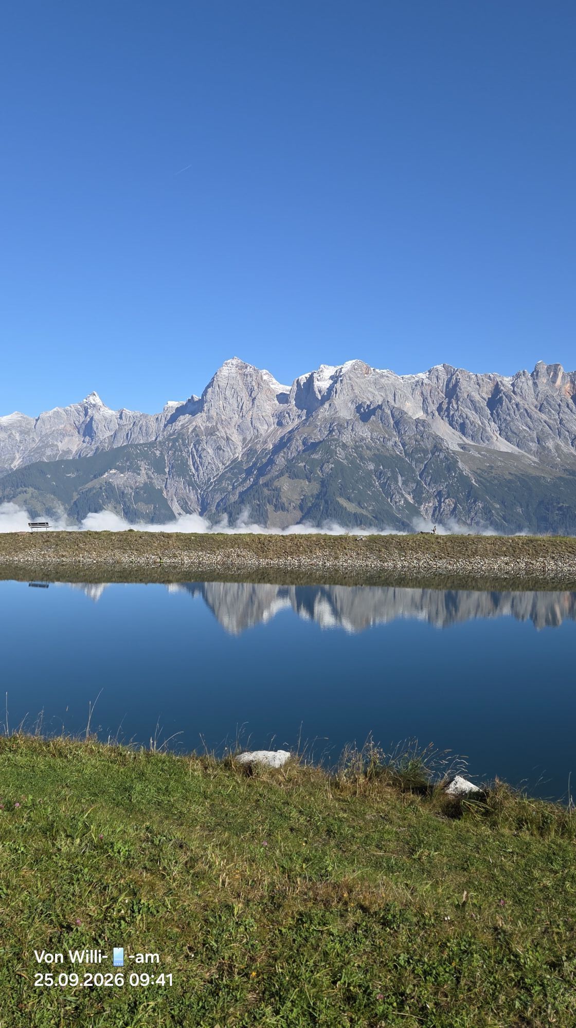
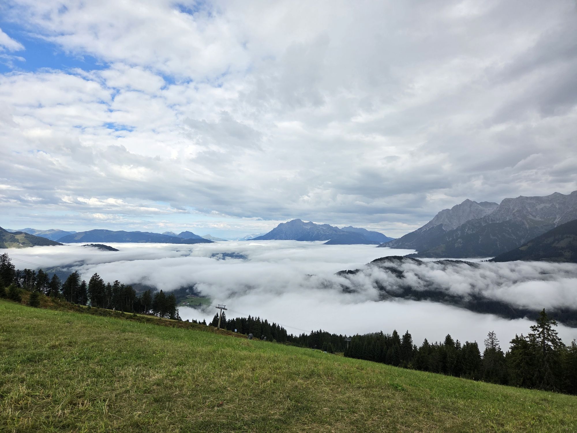
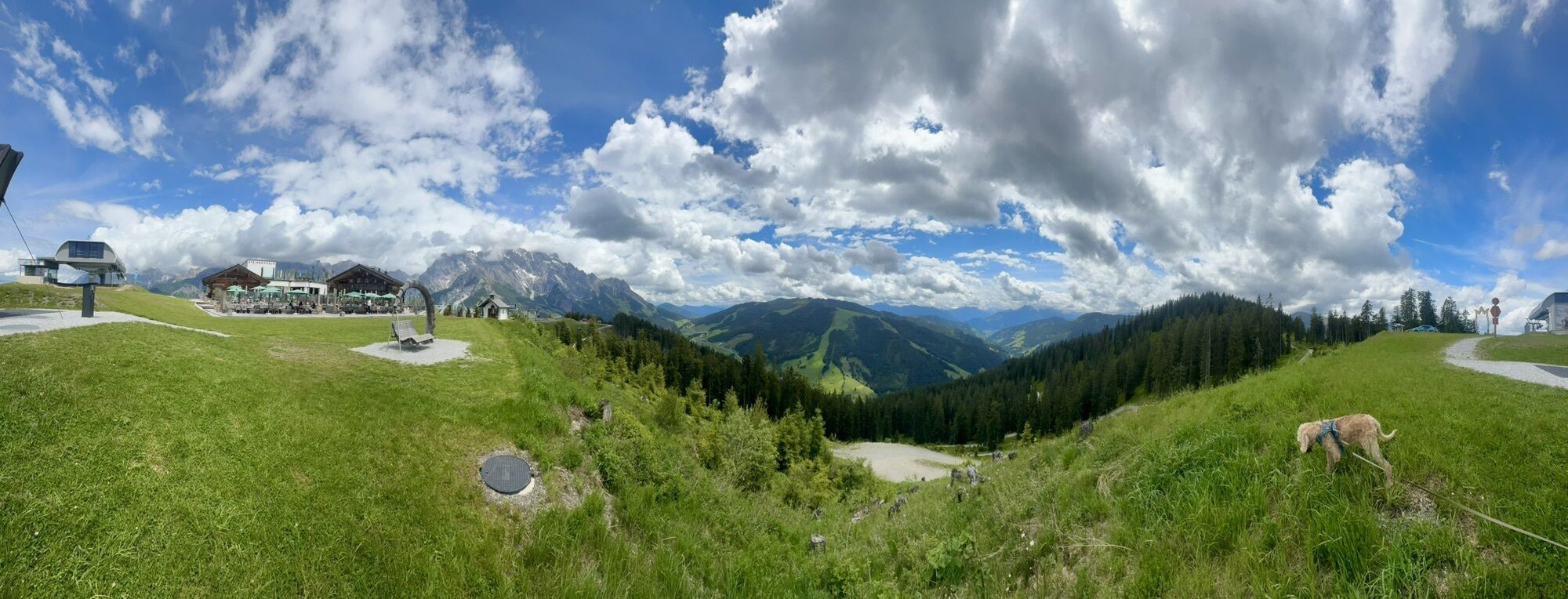
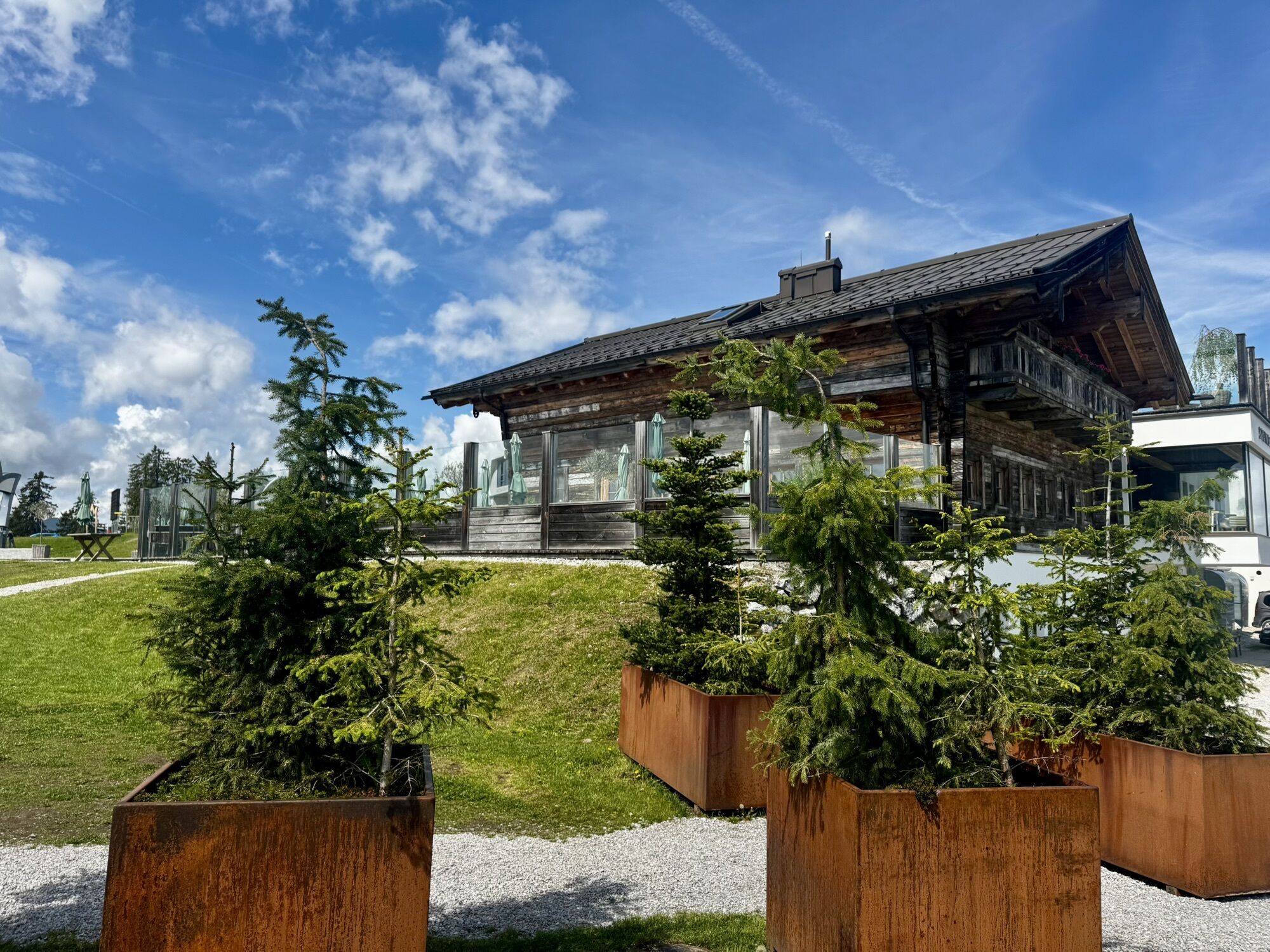
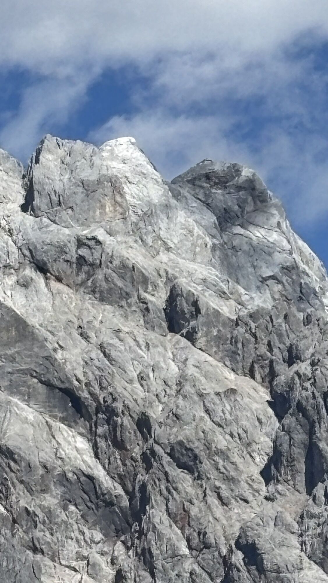
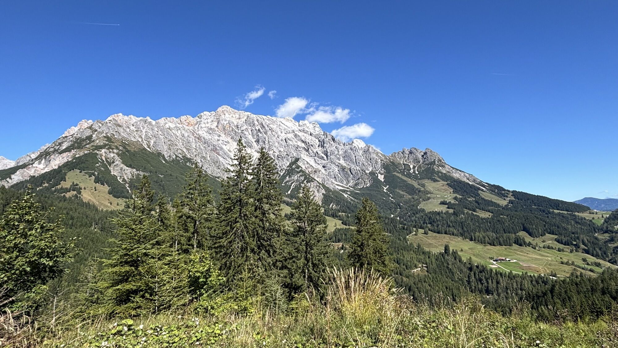
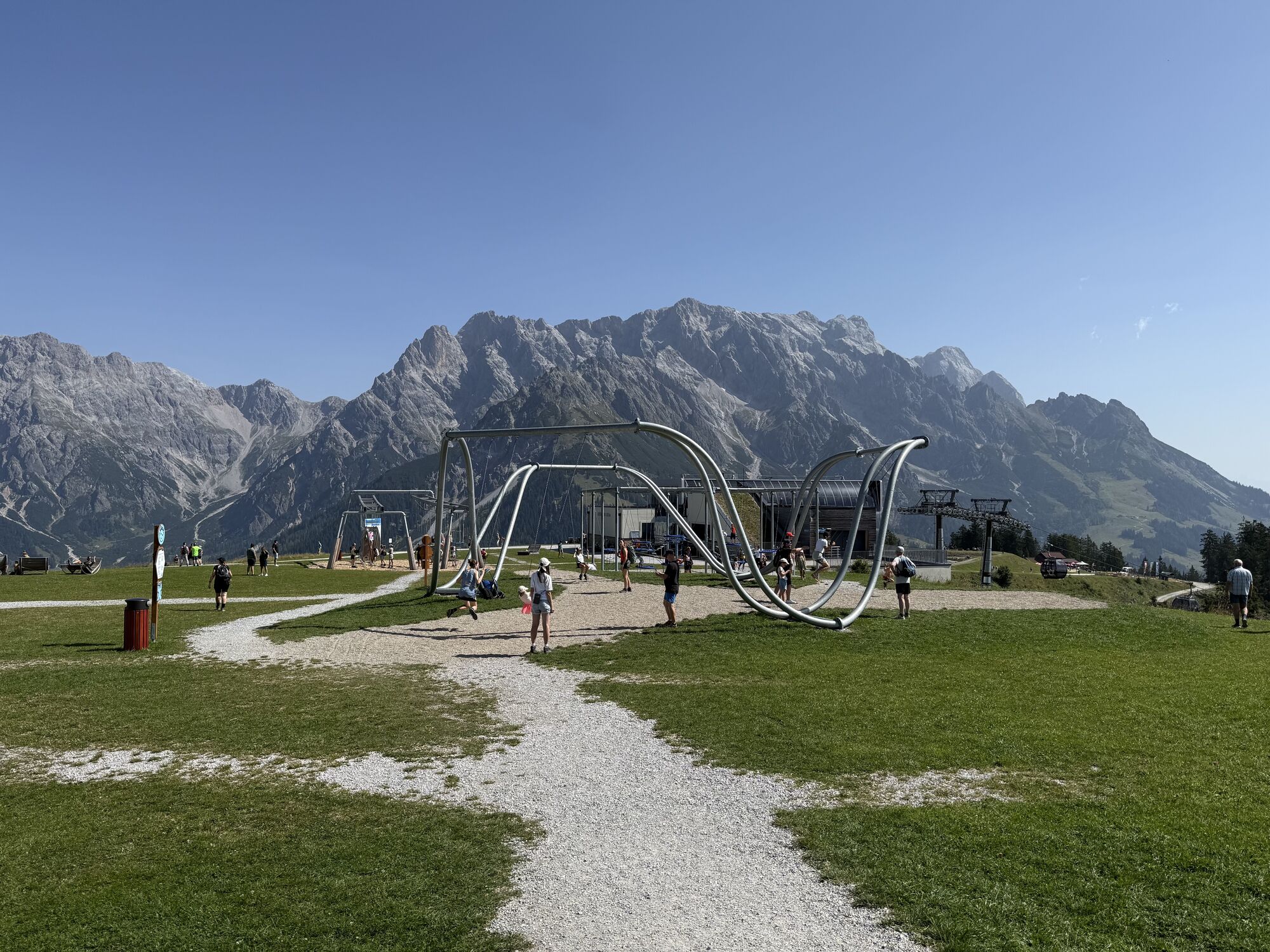

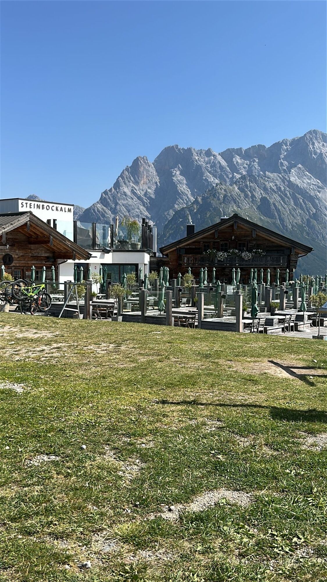
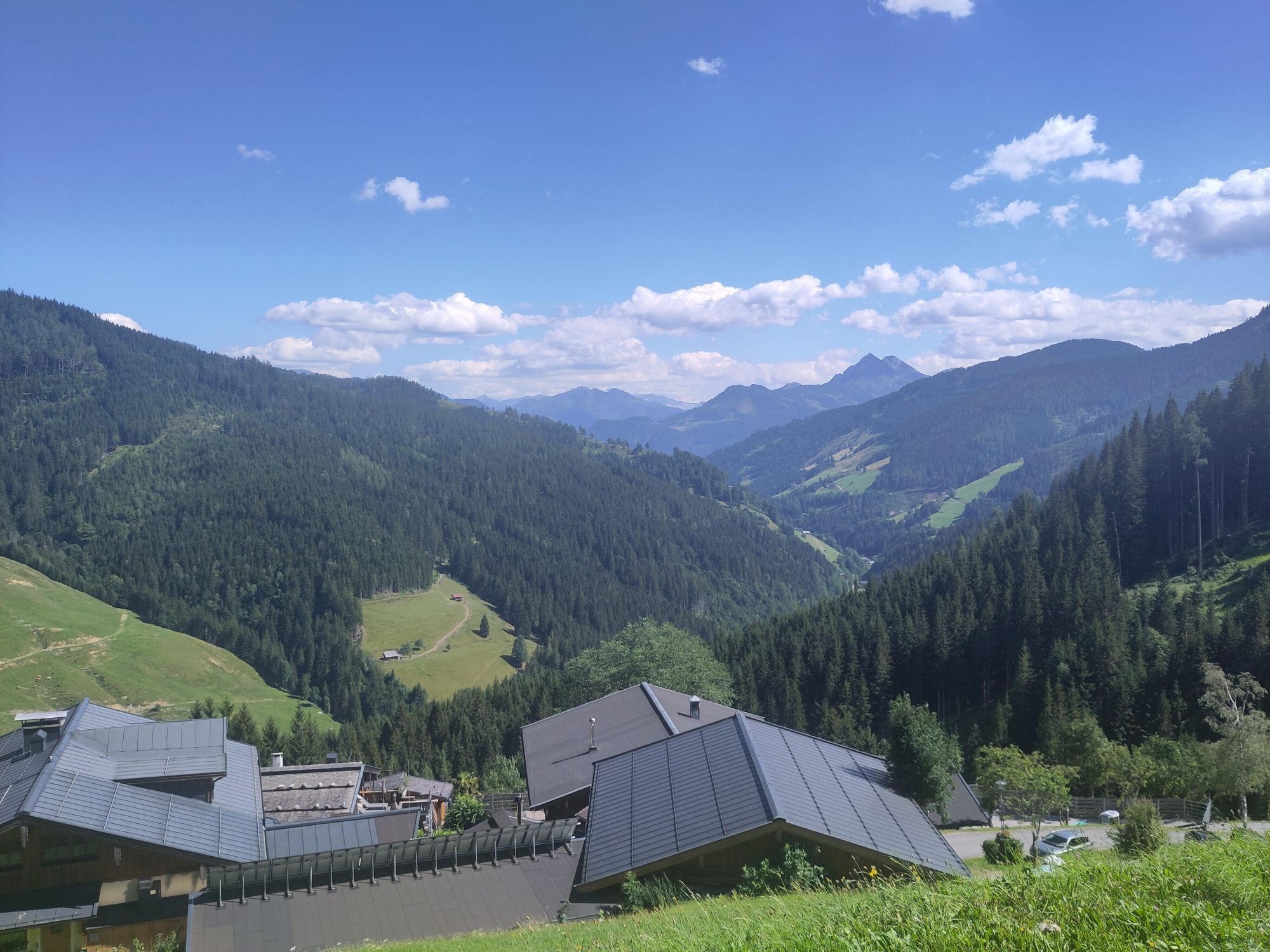
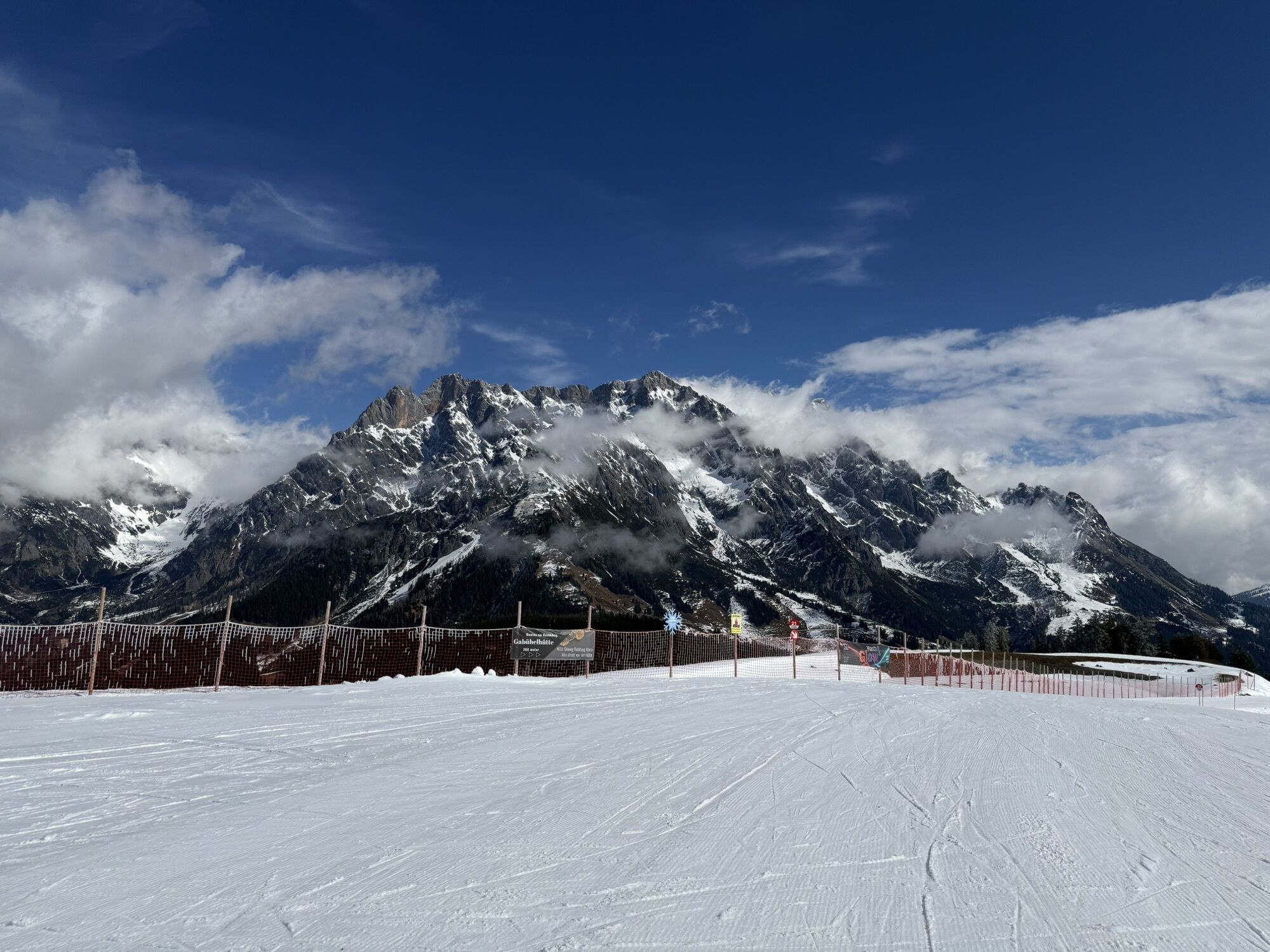
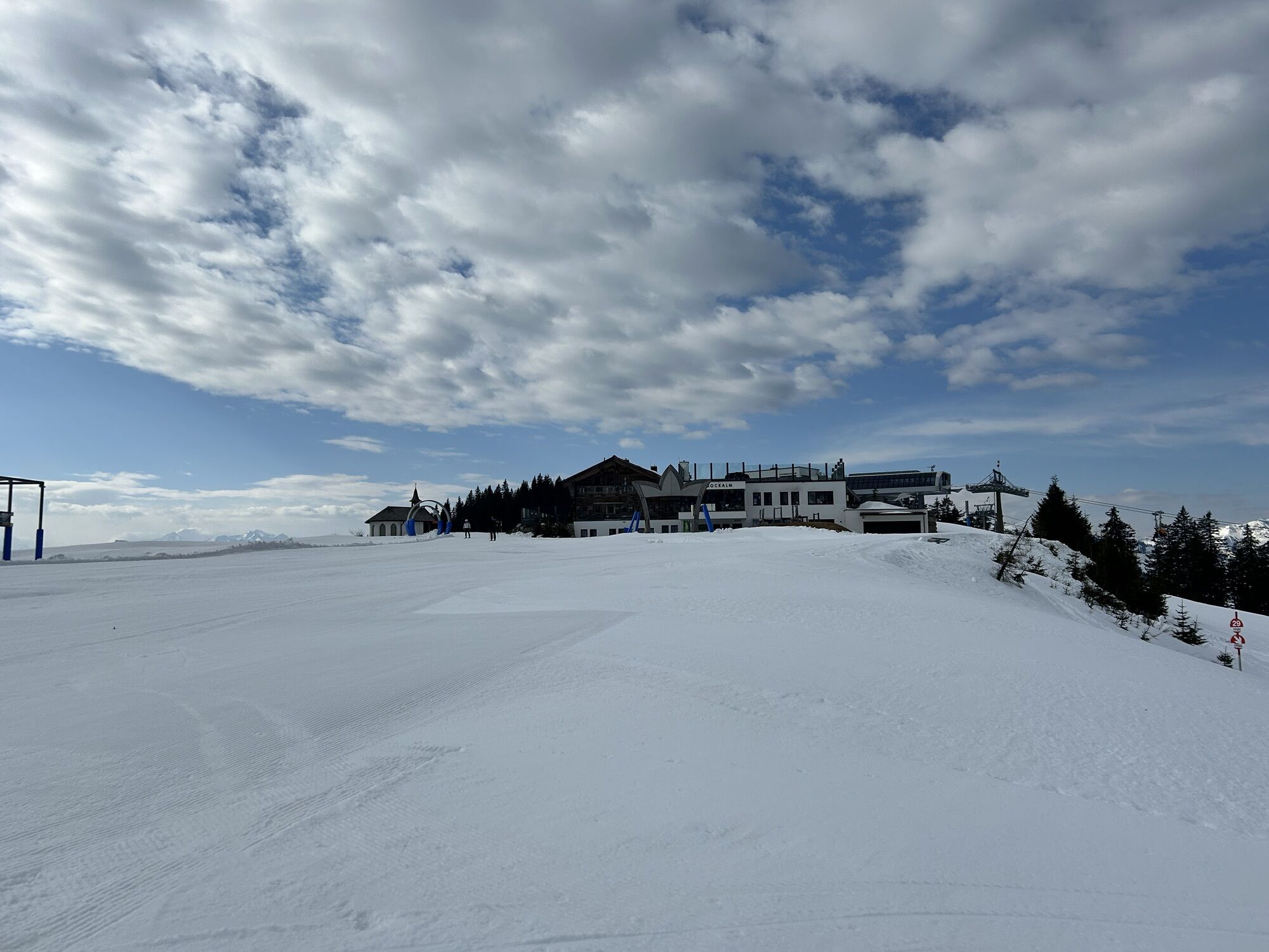
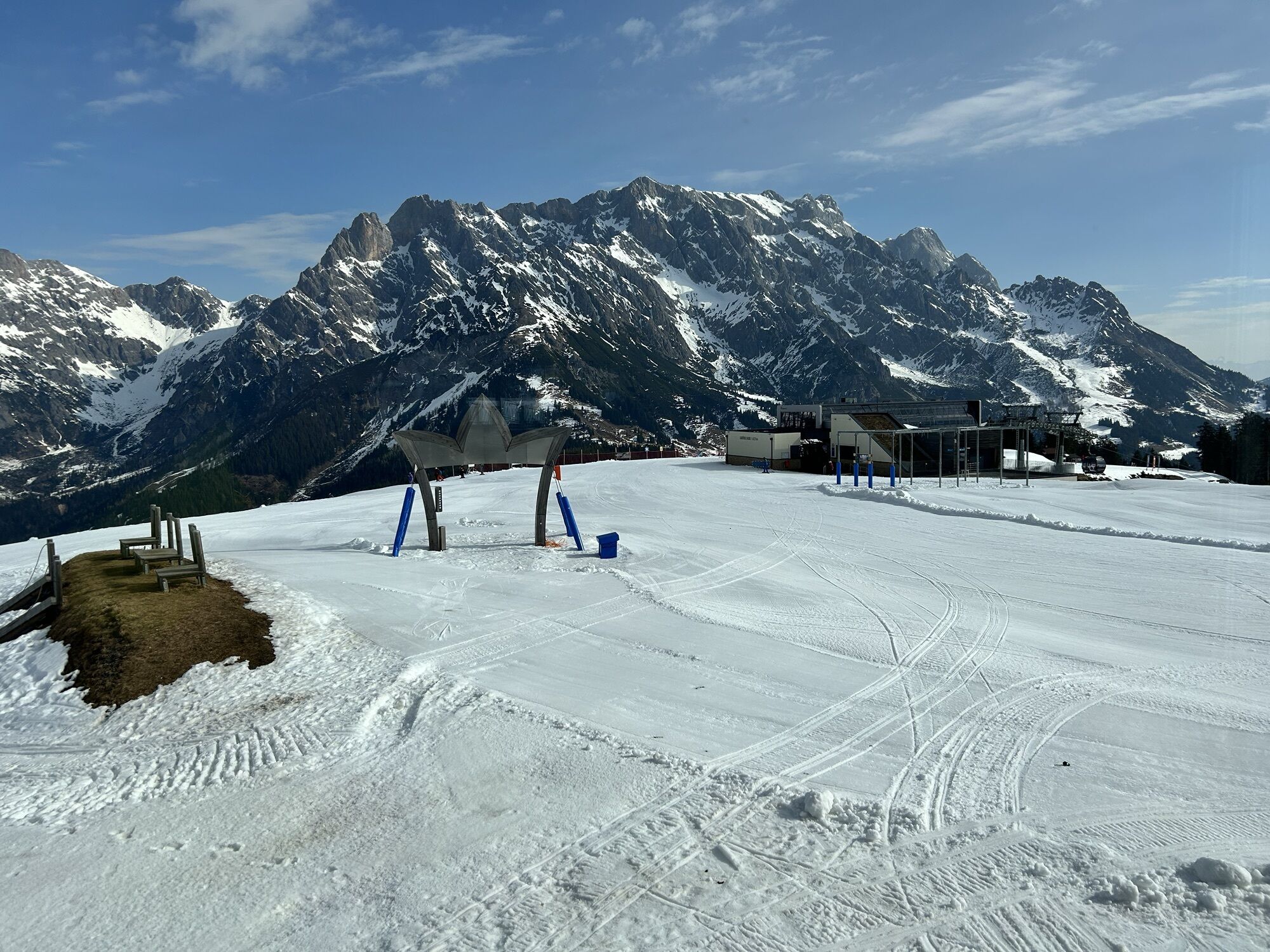
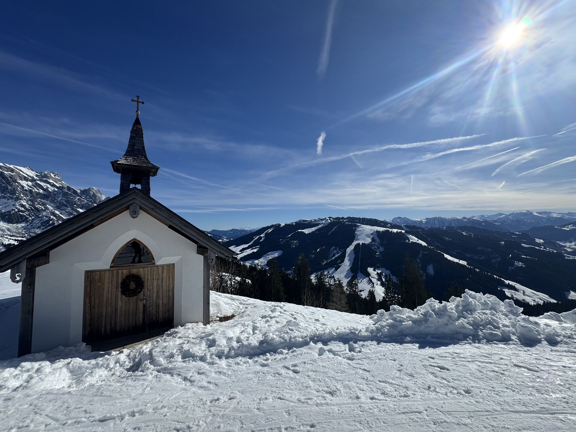
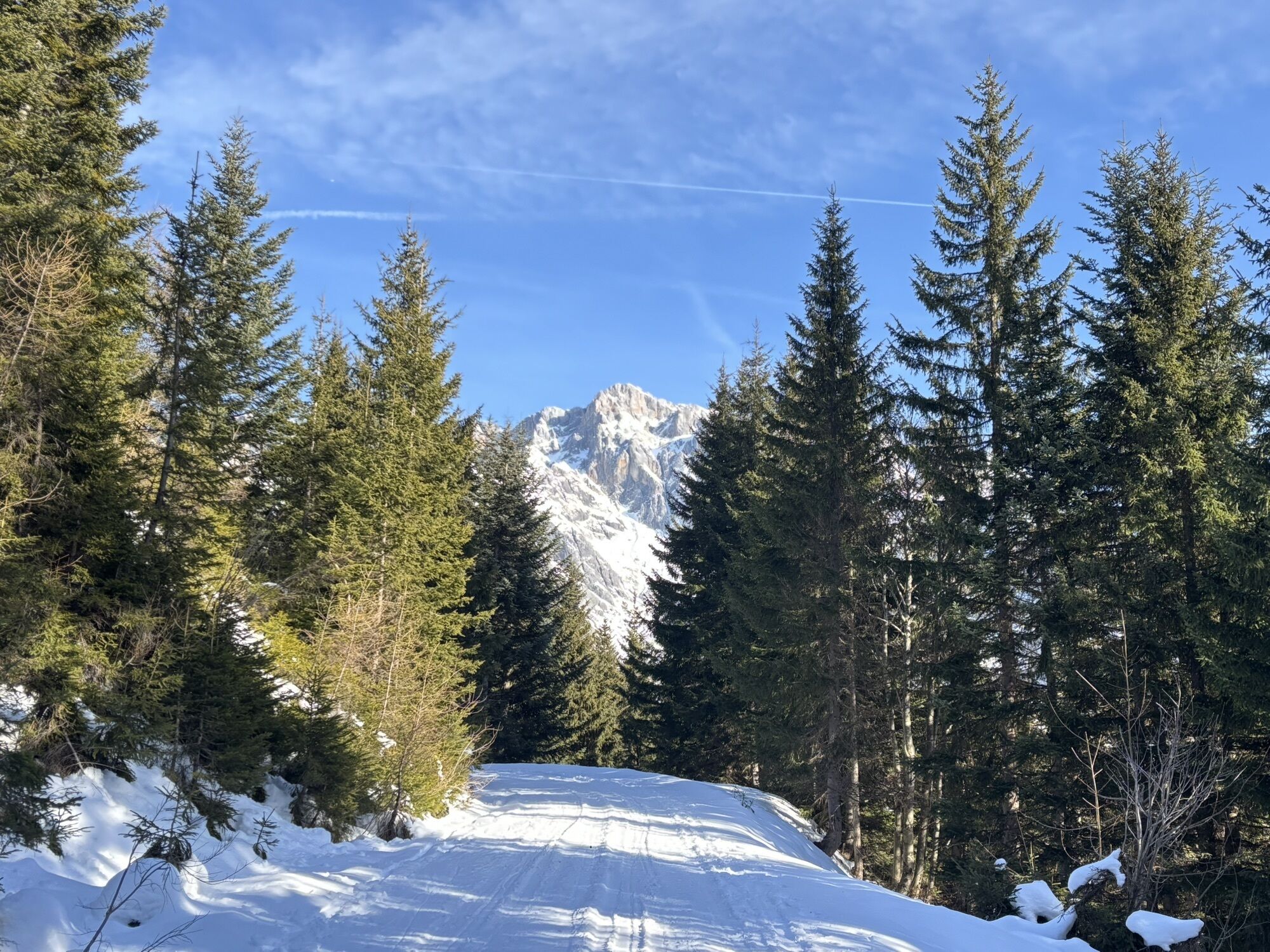
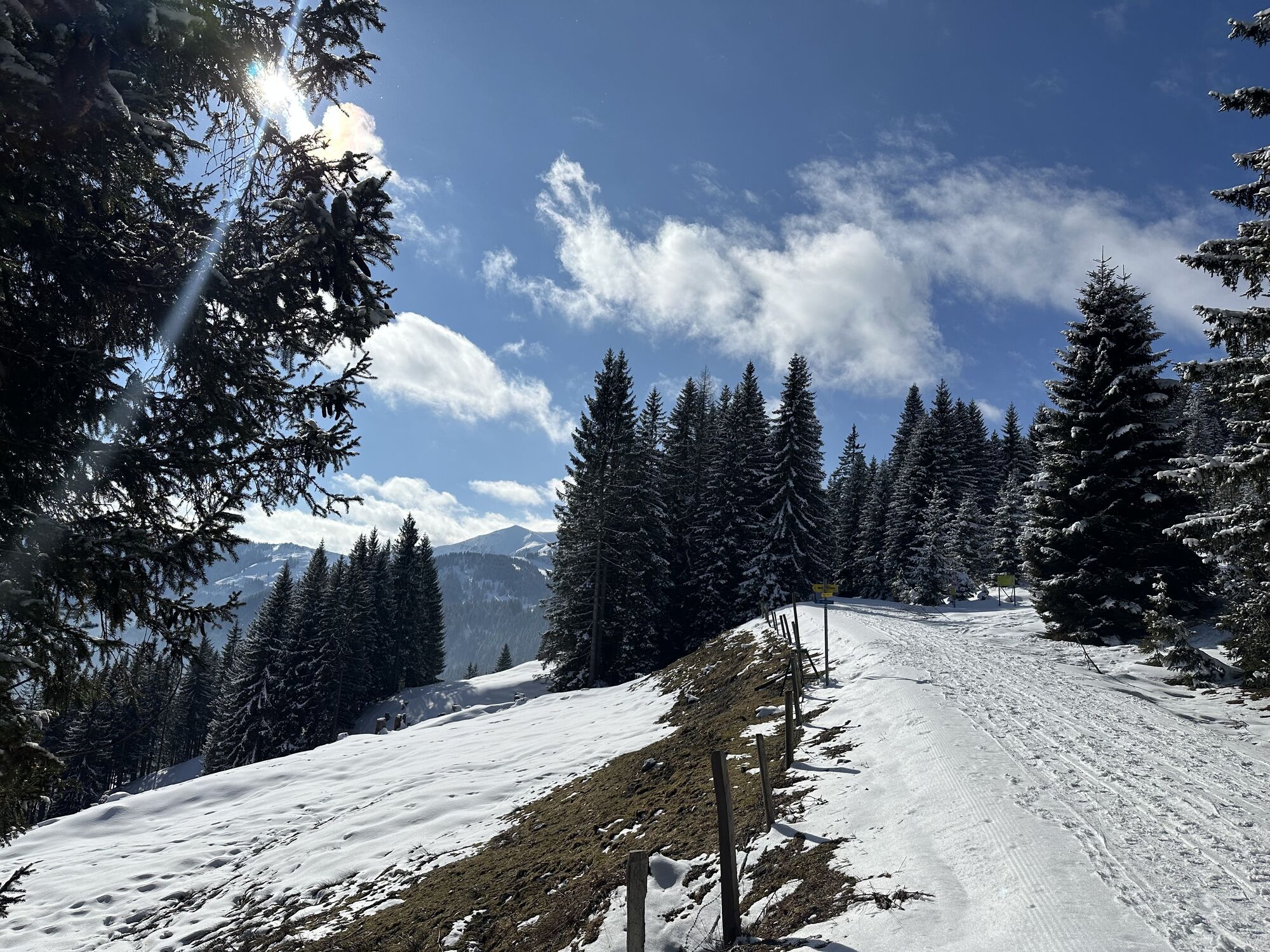
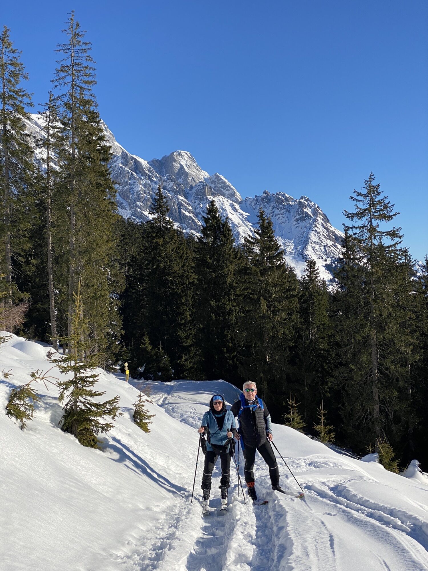
Starting from the Dienten ski centre, hike over the ski centre bridge and along trail no. 52 towards Puregg. Alternatively, you can hike along forest path no. 51 or forest path no. 51a to the Gabühelhütte and...
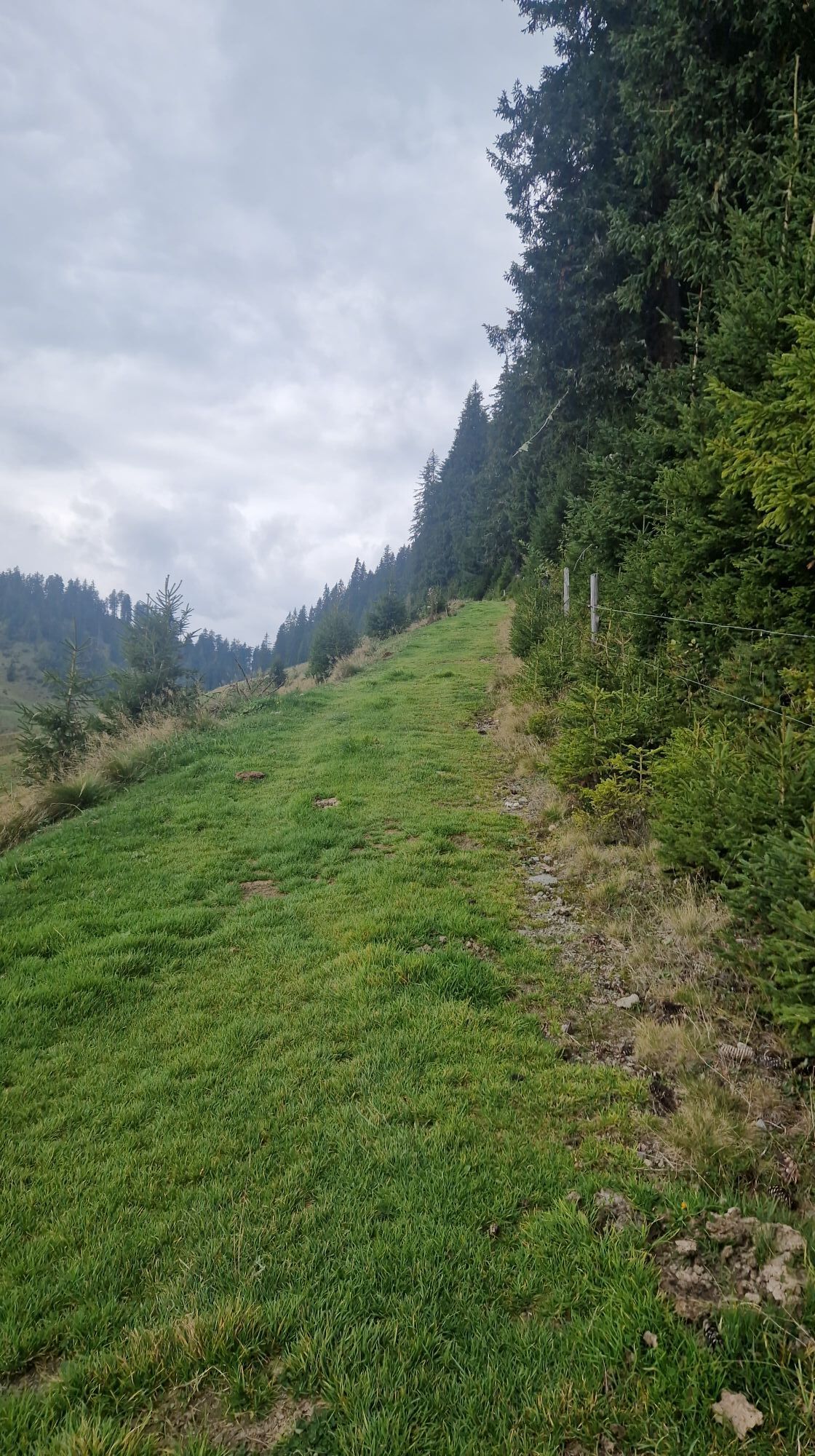
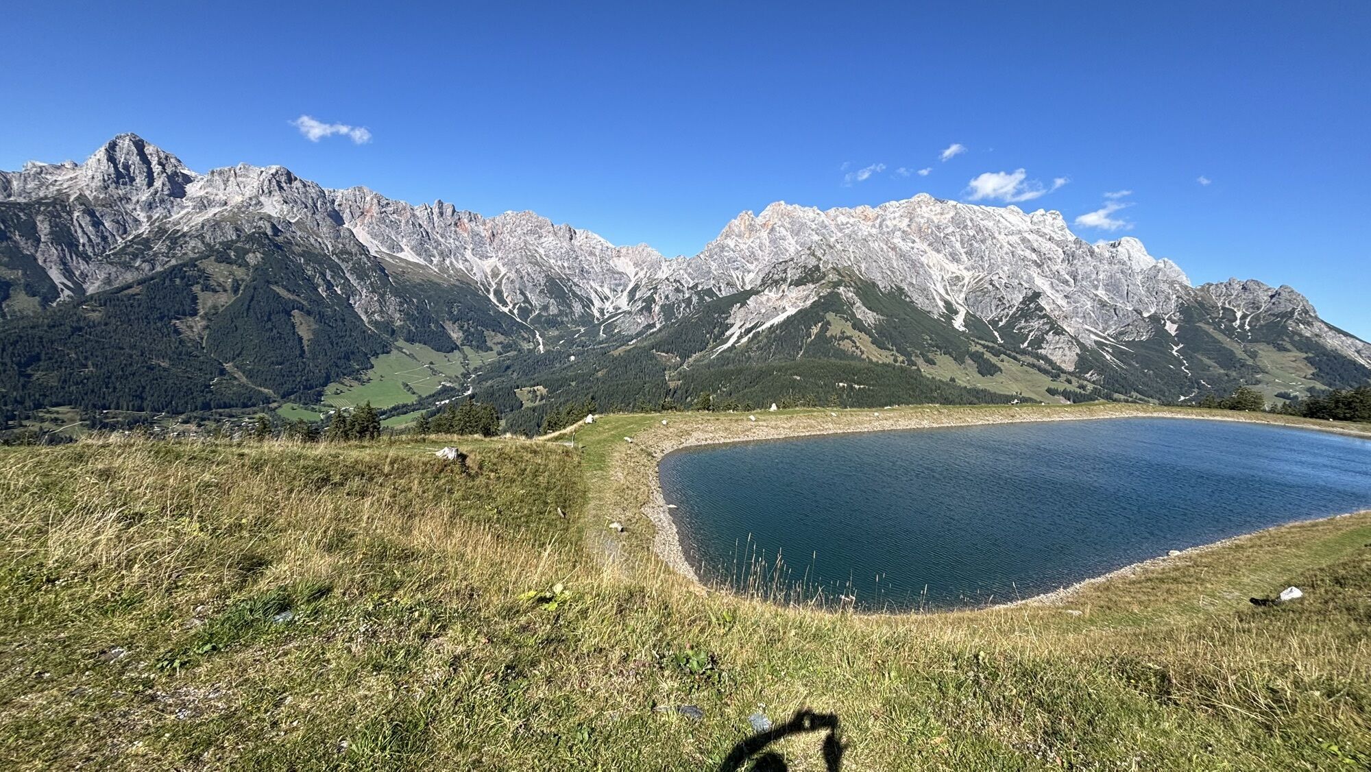
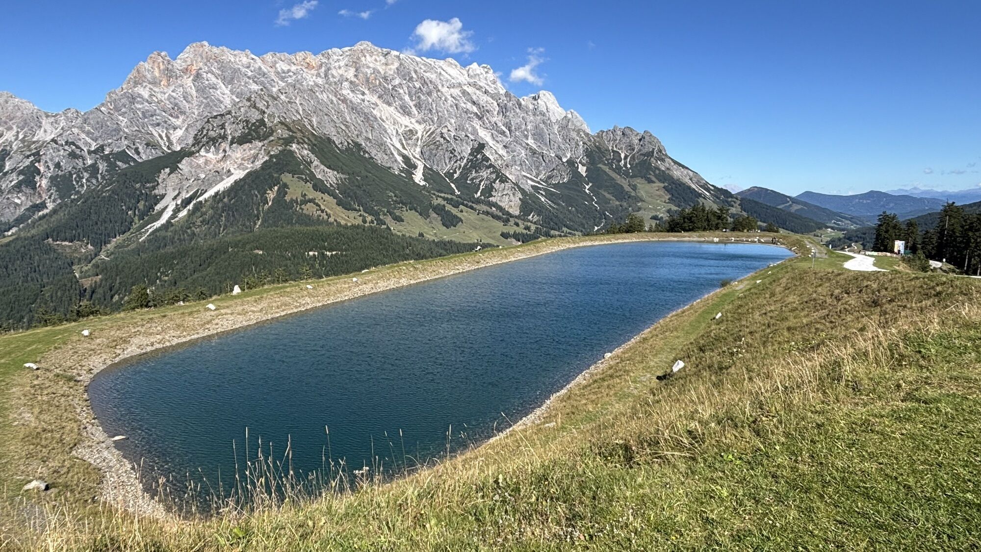
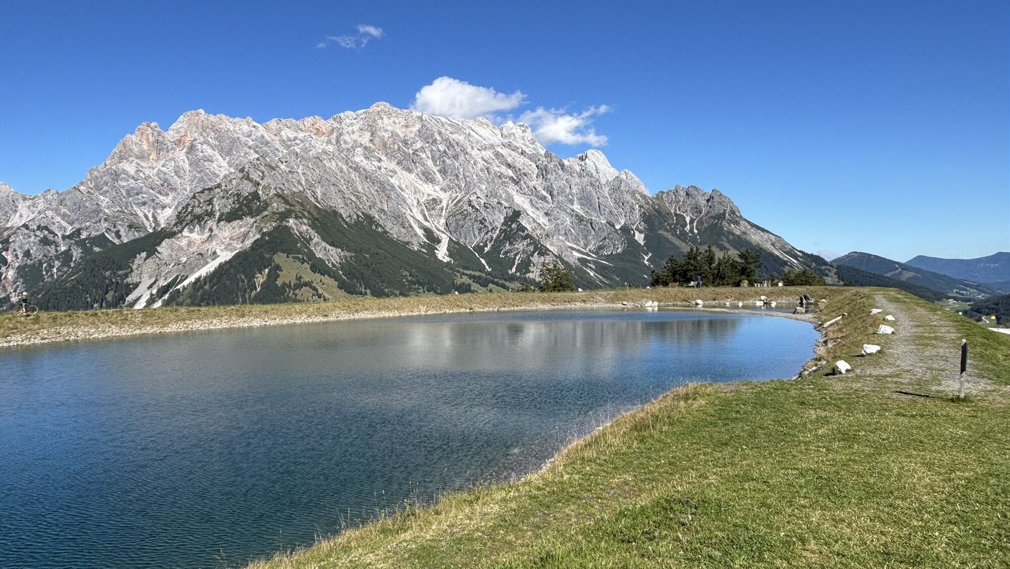
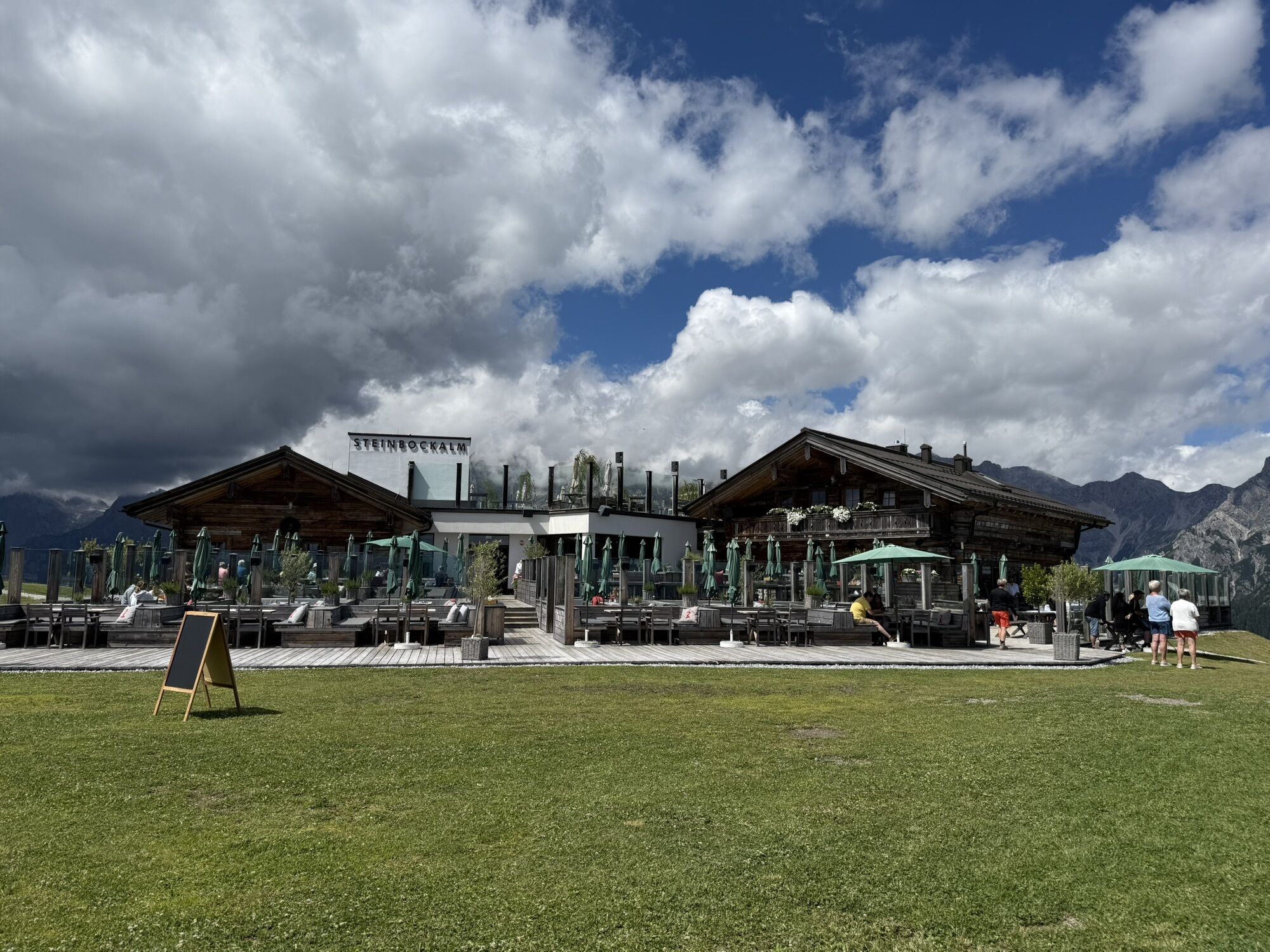
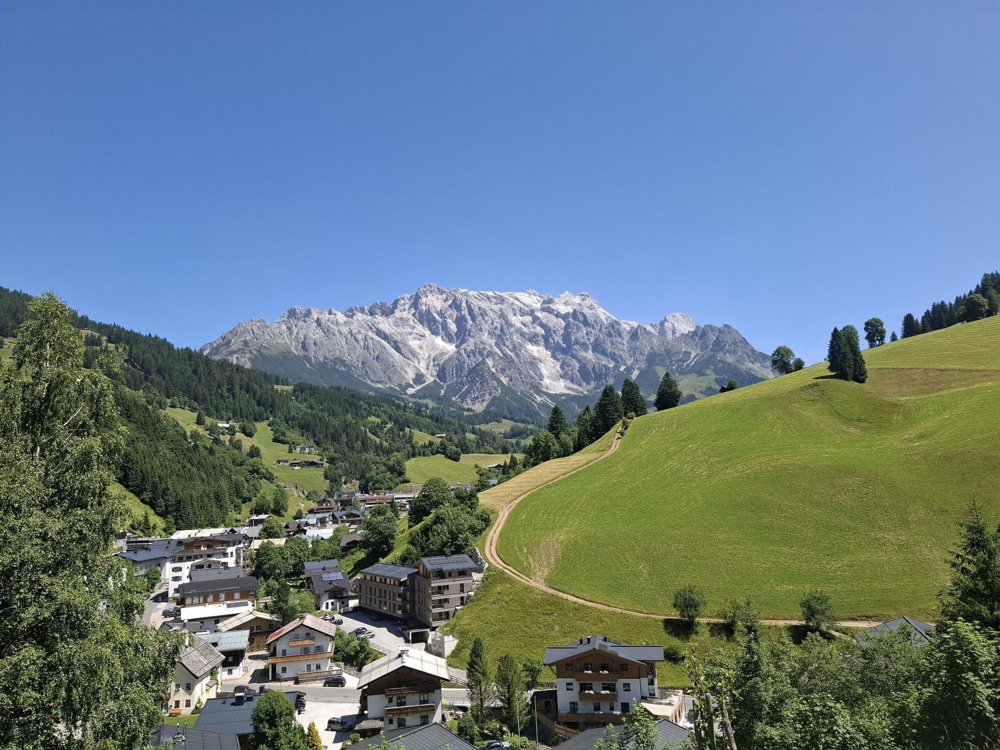
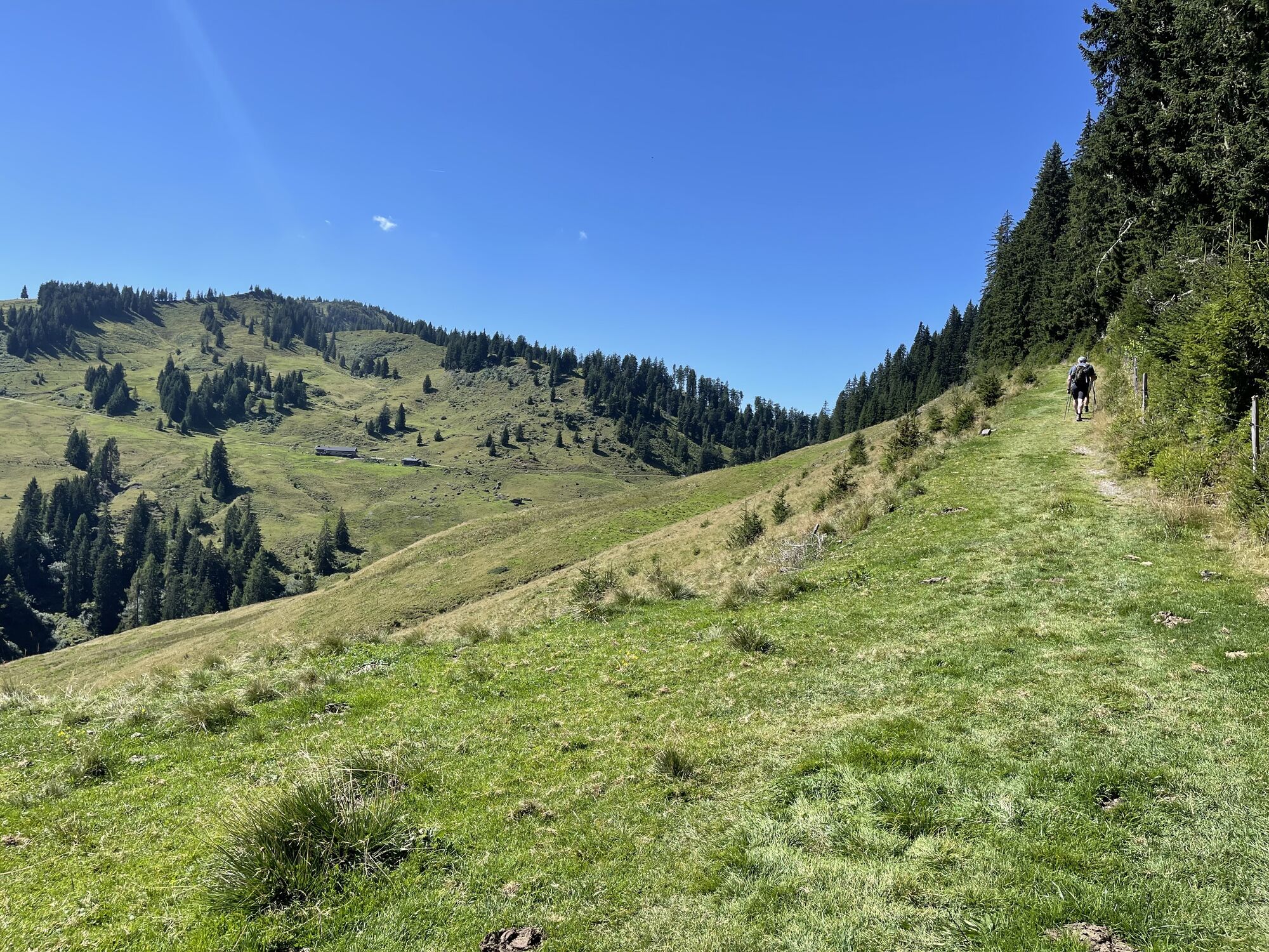
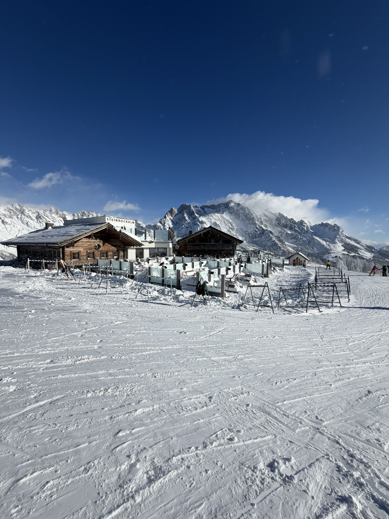
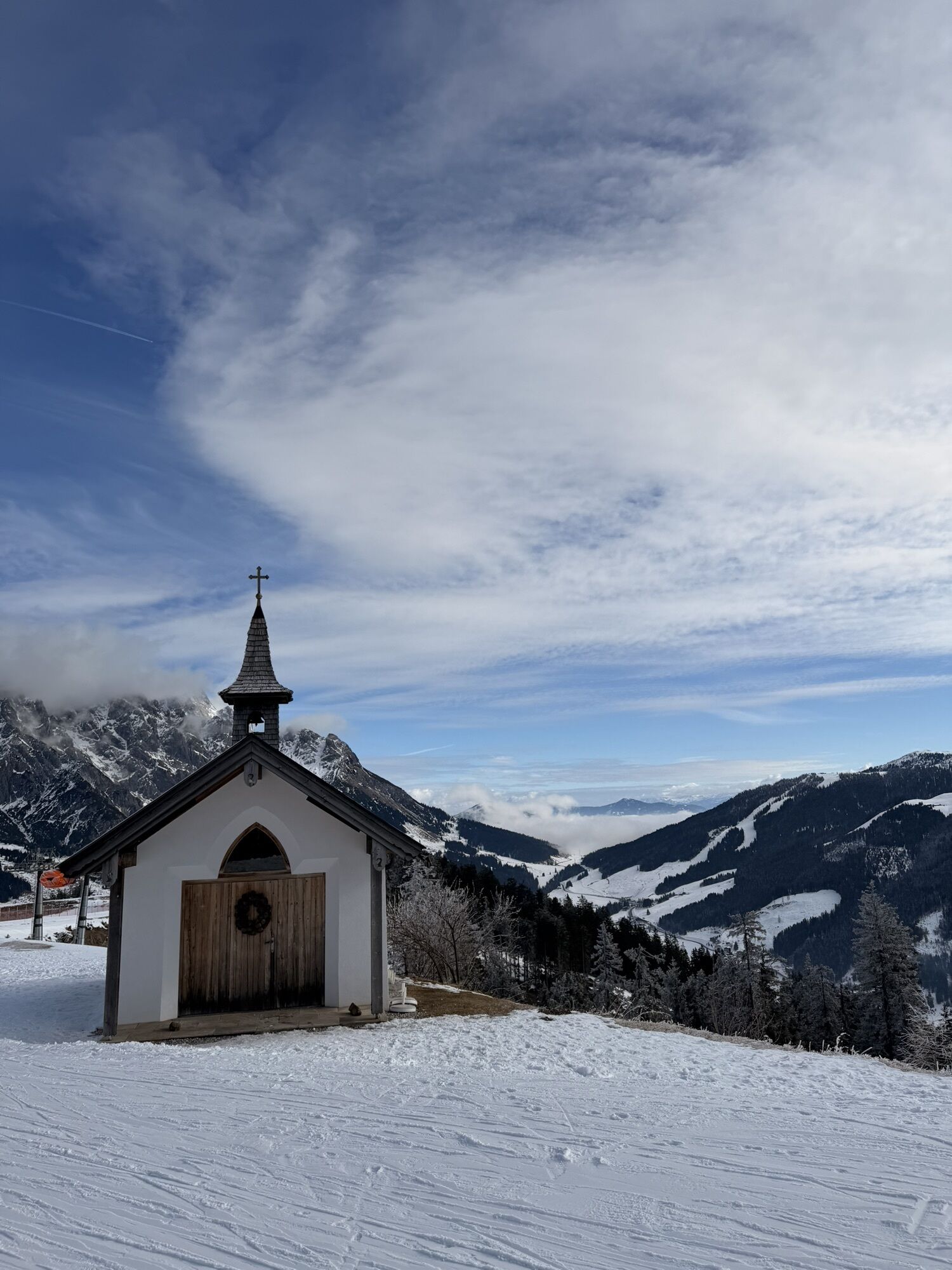
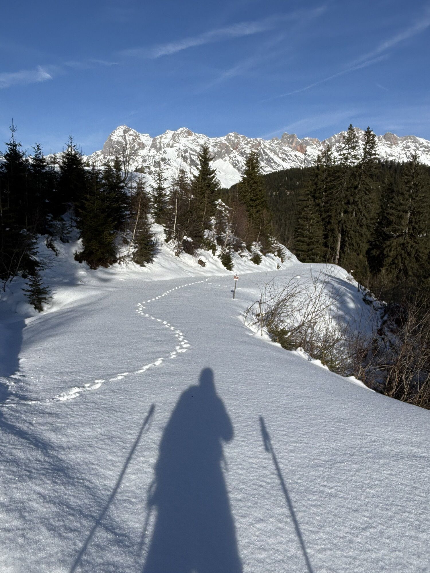
Starting from the Dienten ski centre, hike over the ski centre bridge and along trail no. 52 towards Puregg. Alternatively, you can hike along forest path no. 51 or forest path no. 51a to the Gabühelhütte and on to the Steinbockalm. A short descent via a narrow path leads back to trail no. 51 and the Lettenalm (not open to the public). At the fork in the trail, the forest path turns into a fine meadow path (no. 440). From the Sommereralm, take trail no. 12 or alternatively the gravel path no. 12a to the Grünegg Alm. Via a picturesque alpine pasture landscape, you first take trail no. 53b and then trail no. 440 back to Dienten.

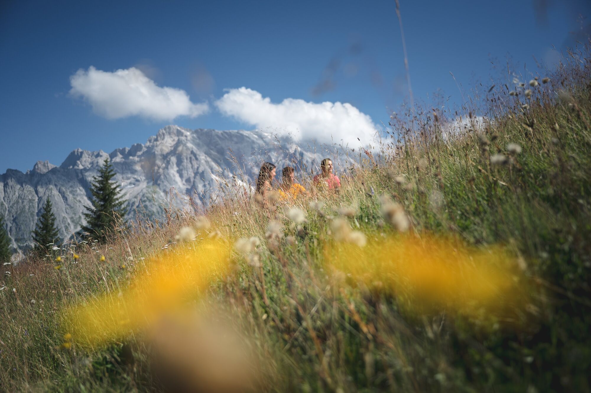
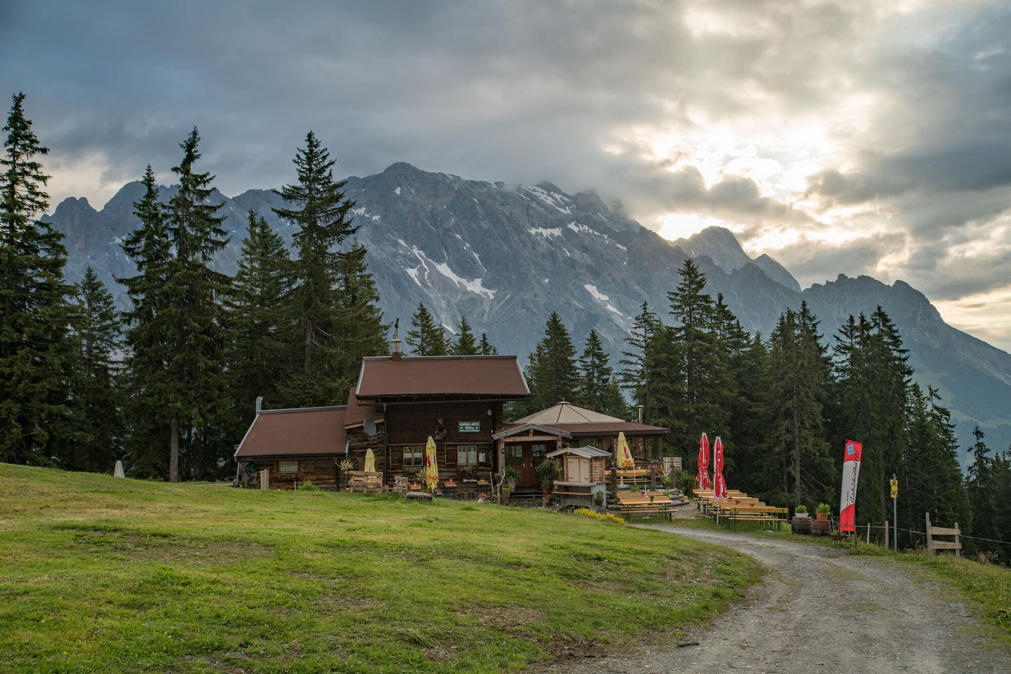
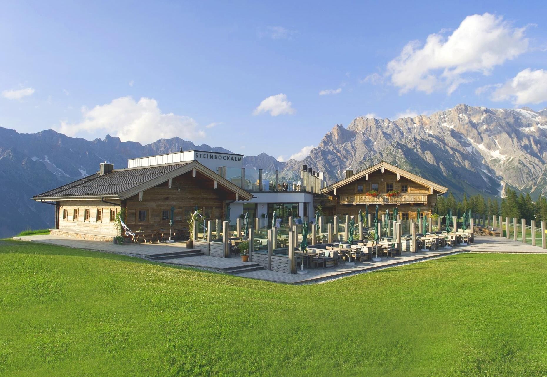


Starting from the Dienten ski centre, hike over the ski centre bridge and along trail no. 52 towards Puregg. Alternatively, you can hike along forest path no. 51 or forest path no. 51a to theGabühelhütte and on to the Steinbockalm. A short descent via a narrow path leads back to trail no. 51 and the Lettenalm (not open to the public). At the fork in the trail, the forest path turns into a fine meadow path (no. 440). From the Sommereralm, take trail no. 12 or alternatively the gravel path no. 12a to the Grünegg Alm. Via a picturesque alpine pasture landscape, you first take trail no. 53b and then trail no. 440 back to Dienten.
Sturdy, ankle-high footwear
Hiking clothing
Hiking poles
Headgear
Sun protection and sunglasses with UV protection
Rain protection
Drinks and a small snack
Necessary medication
First aid kit
Hiking map
self-assessment: Check your physical fitness before every mountain tour and correctly assess your strength and that of your companions - especially your children! Surefootedness and a head for heights are often very important!
planning and preparation: Plan every intended mountain tour in advance. Hiking maps and guides as well as information from alpine clubs and local experts such as mountain guides and hut keepers can be helpful.
equipment: On the mountain, you need appropriate equipment and clothing, especially sturdy, high footwear with a non-slip sole. Weather and cold protection are essential, as the weather can often change unexpectedly.
weather forecasts: Check the current weather conditions at: www.zamg.at or www.uwz.at.
togetherness: Observe the 10 rules for the correct handling of grazing animals and do not leave any waste in nature!
do not kick stones: Do not step on stones, as this can seriously endanger other hikers. Marked places where there is a risk of falling rocks should be crossed as quickly as possible and with attention and caution.
turn back in good time: This is not a disgrace, but a sign of common sense. It becomes necessary when the weather changes, fog sets in, and also when the path is too difficult or not in good condition.
emergency numbers: Alpine emergency number: 140, International emergency number: 112, Rescue: 144
Further information on hikes and activities in the Hochkönig region:
For detailed information about hiking maps, the opening hours of the cable cars and the huts and mountain pastures in summer, we recommend you visit the local service centre. There you will not only receive the hiking map, but also valuable tips on the best hiking routes and current conditions.
Opening hours of the mountain lifts in summer: The mountain lifts offer different opening hours during the summer months, which can vary depending on the weather and season. Please check the current operating times in advance.
Opening hours of huts & mountain huts in summer:The huts and mountain huts in the region are ideal rest stops for hikers. Here, too, opening hours may vary depending on the season and day of the week. Ask the friendly hosts for advice about the offers and specialities on site.
For more information, please visit our website: www.hochkoenig.at.
If you have any questions or require specific information, please do not hesitate to contact us:
- E-mail: region@hochkoenig.at
- Telephone: +43 (0)6584 20388
We look forward to helping you and hope you enjoy exploring the beautiful Hochkönig hiking region!
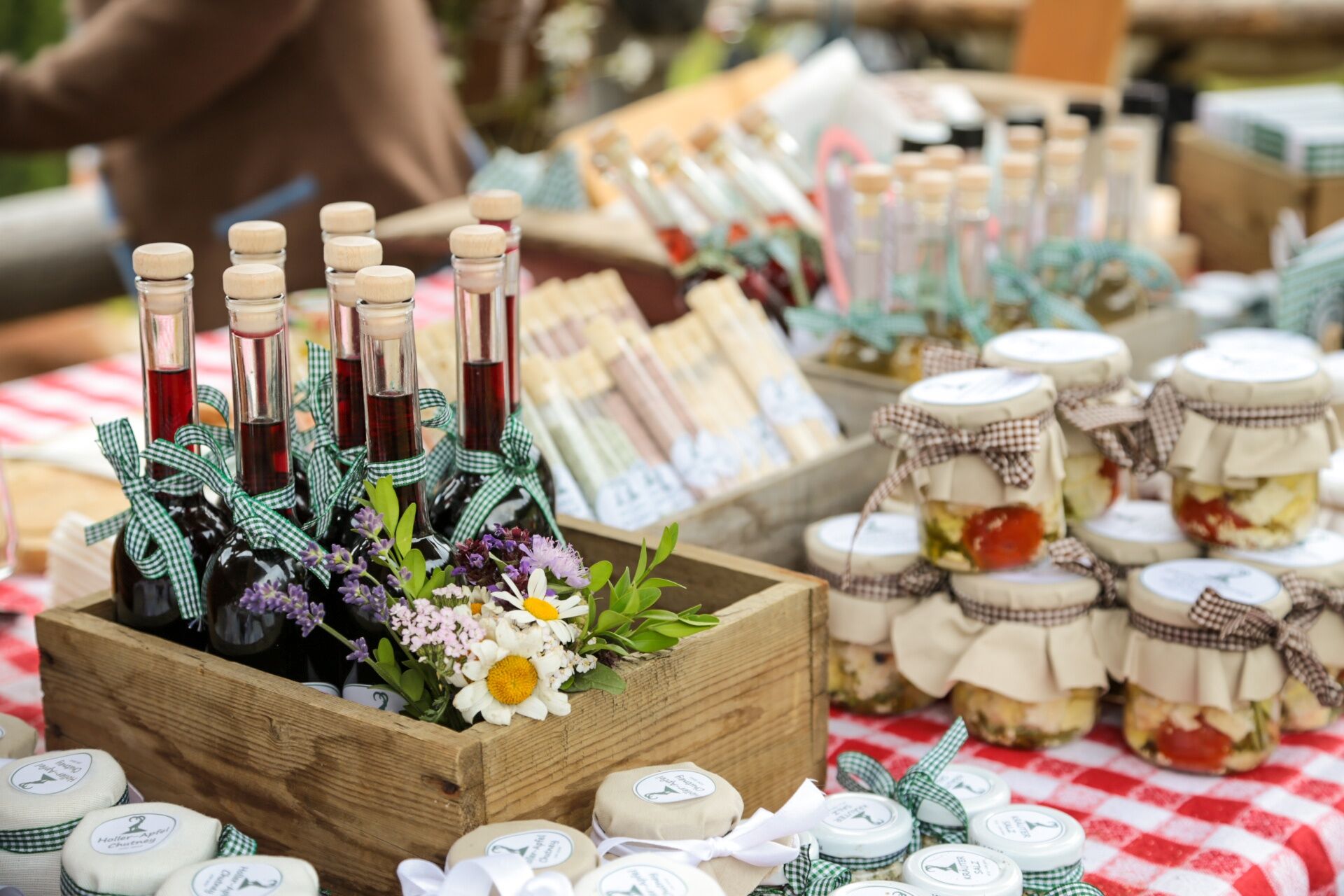
Let yourself be pampered at the Gabühelhütte and Steinbockalm herbal huts!
Webcams de la tournée

Parcours populaires à proximité
- 4,4
Maria Alm - Riemannhaus
Randonnée 3,99 km - 4,9
Ascension Lauskopf
difficileRandonnée 8,16 km - 4,8
Point fort : parcours classique des gorges de Kitzloch
moyenRandonnée 2,02 km - 4,8
Ascension au sommet Taghaube
difficileRandonnée 6,25 km - 4,7
Par le "circuit des Vier Hütten" jusqu'à la Windraucheggalm
moyenRandonnée 10,1 km - 3,7
Wanderung zur Ostpreußenhütte in Werfen (1.630 m)
moyenRandonnée 11,2 km - 4,6
Randonnée panoramique vers le Hochkeil
moyenRandonnée 6,07 km - 4,4
Schwalbenwand Nr. 80, 81, 82
moyenRandonnée 13,0 km - 4,6
Cabane Peter-Wiechenthaler
moyenRandonnée 4,32 km - 4,6
Steinalm
facileRandonnée 2,71 km
Randonnée et suivi


Ne manquez pas les offres et l'inspiration pour vos prochaines vacances
Votre adresse électronique a été ajouté à la liste de diffusion.





