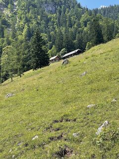
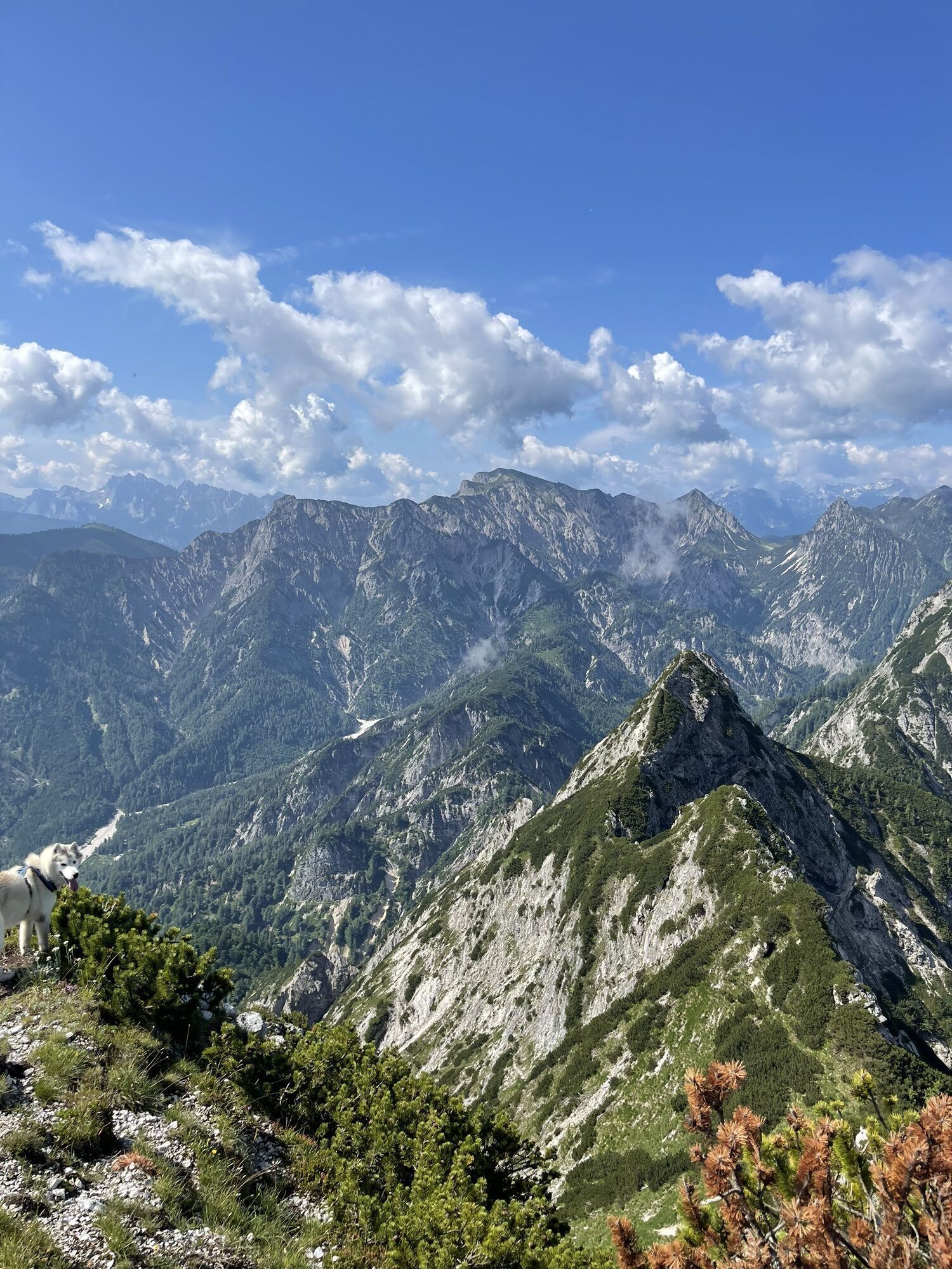
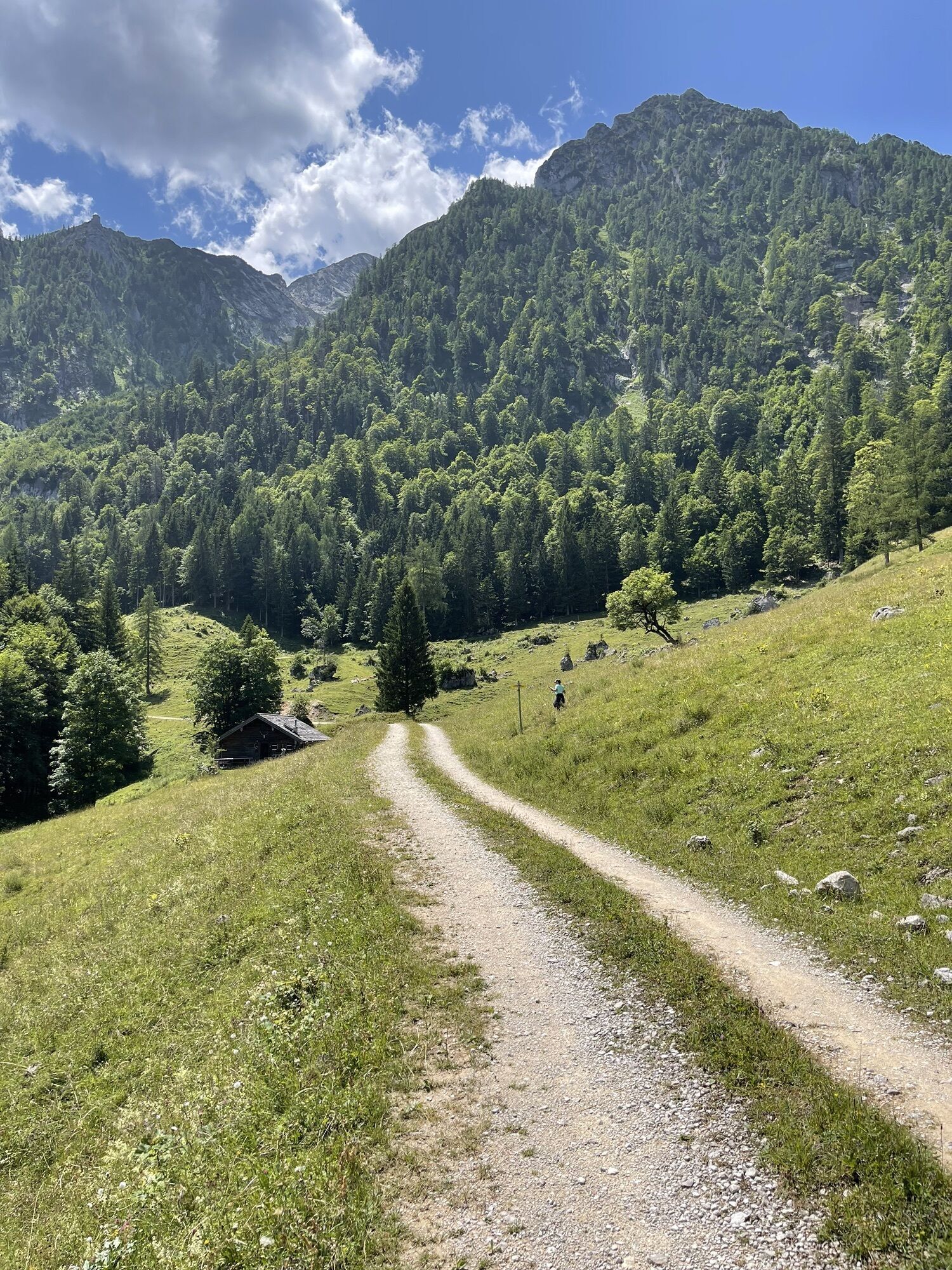
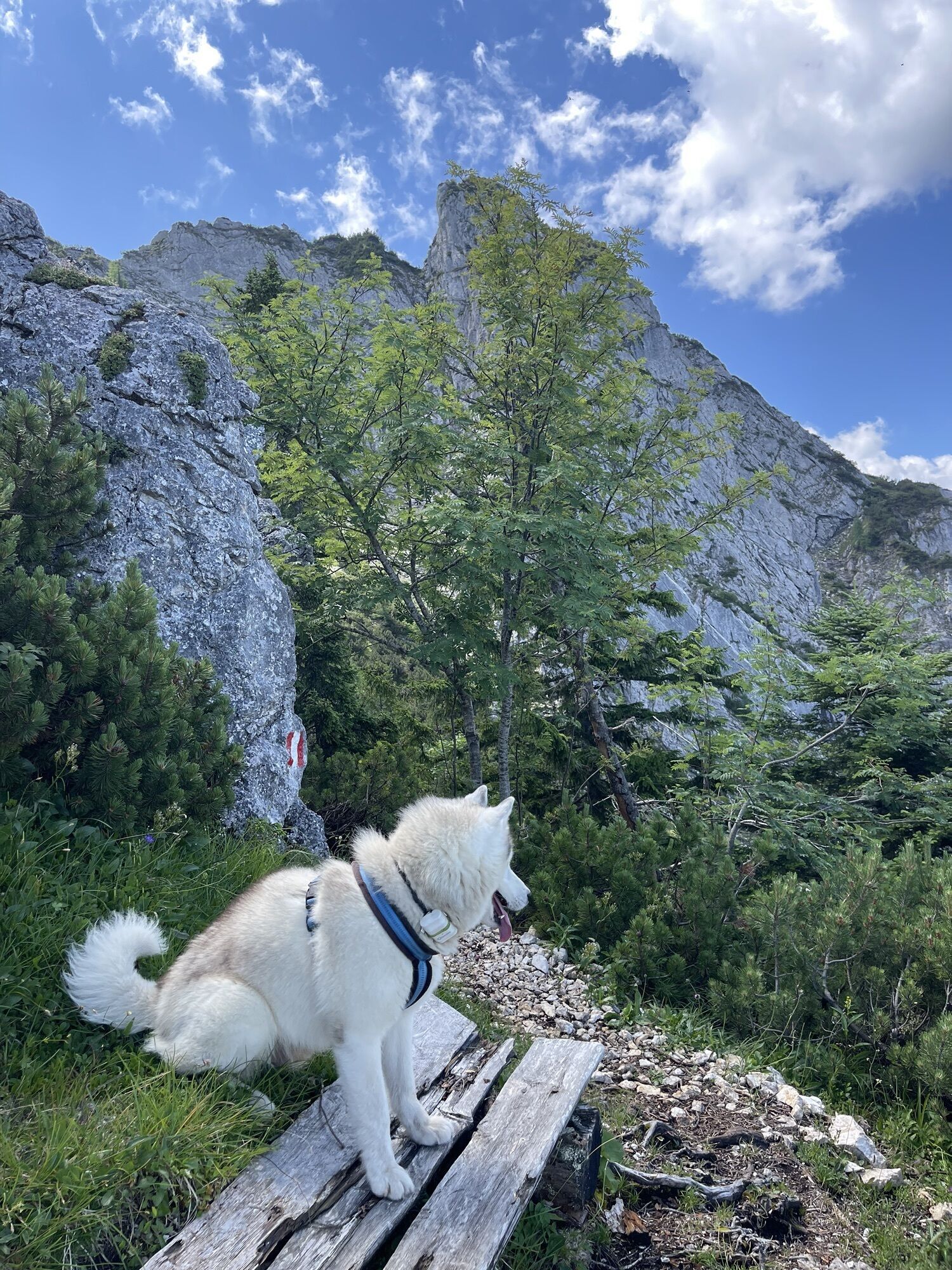
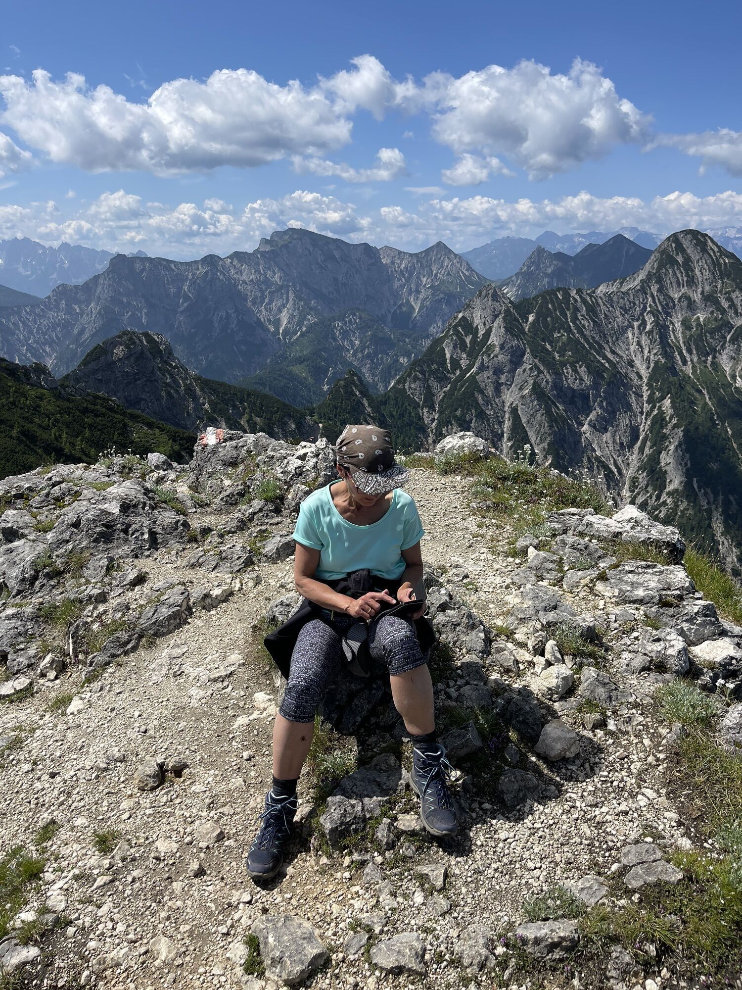
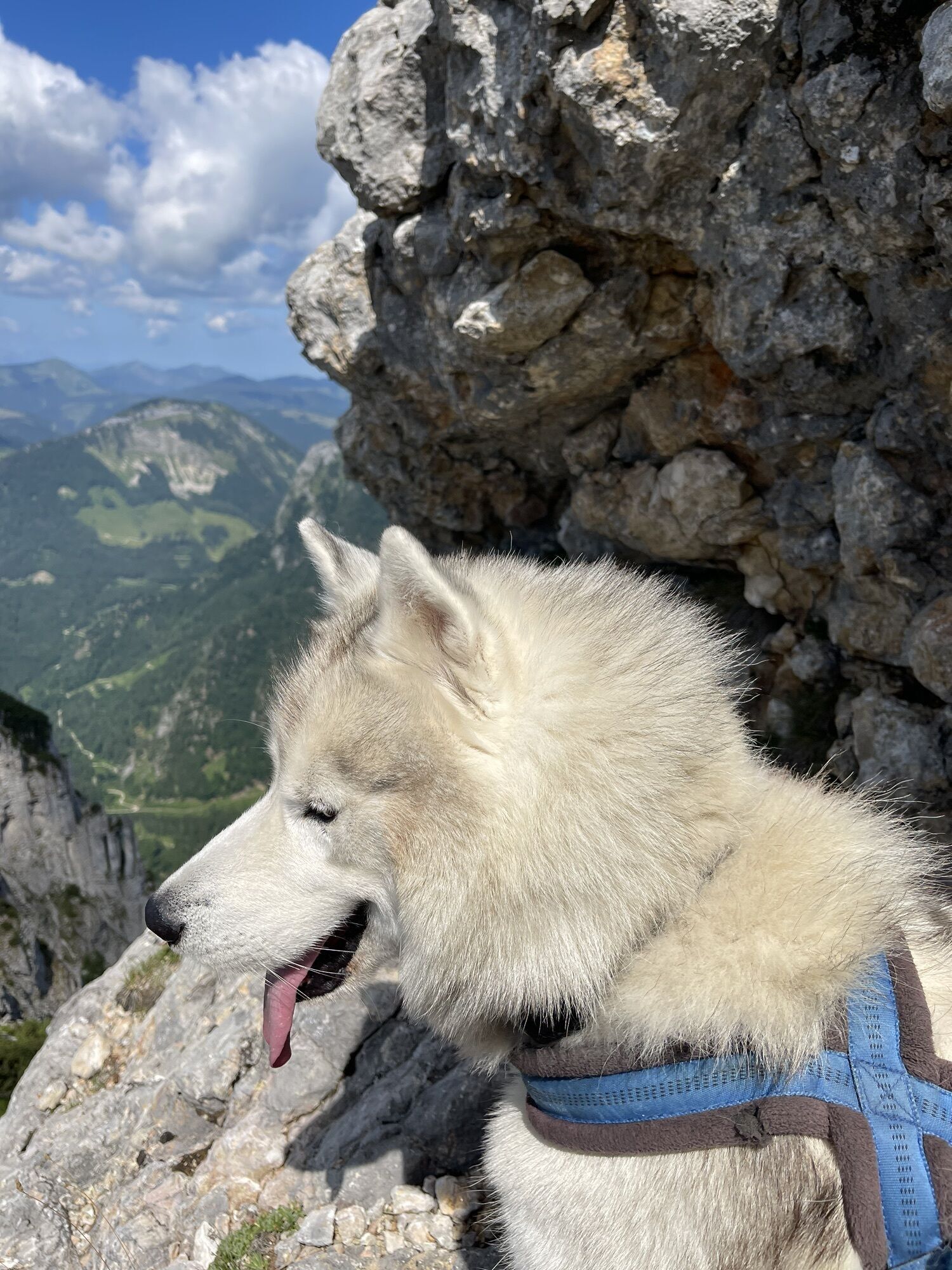
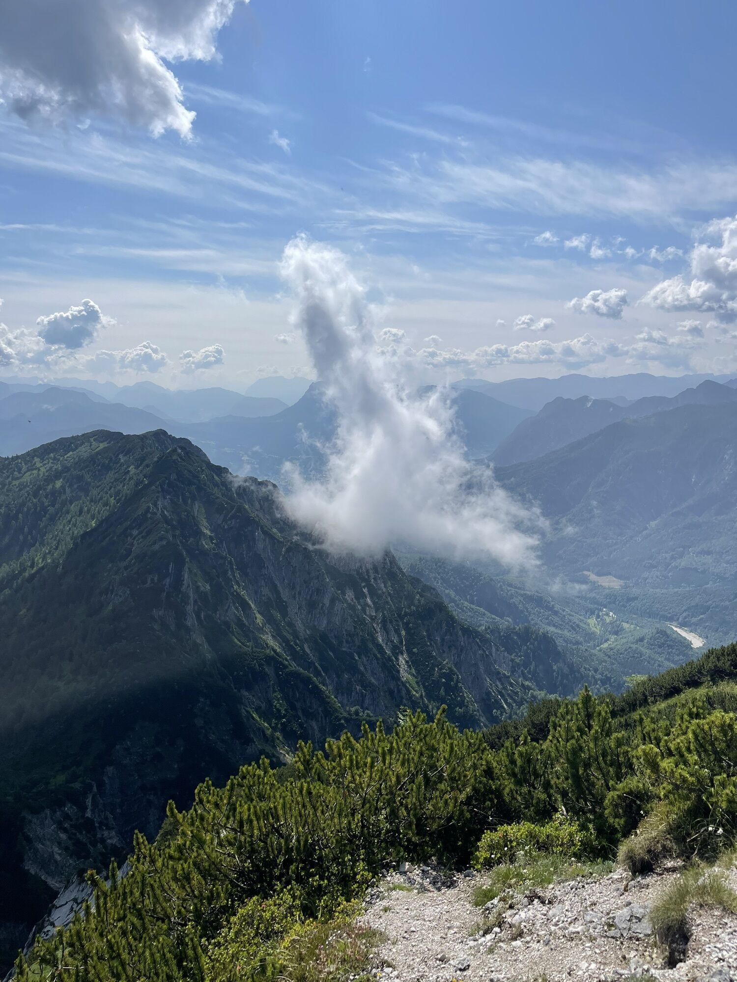
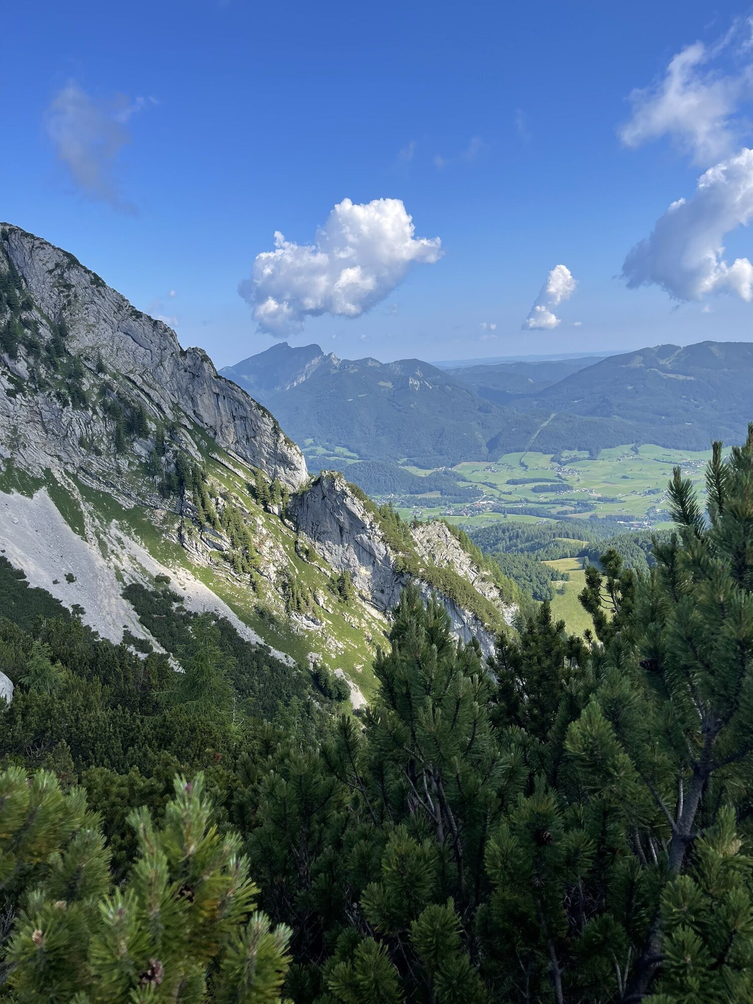
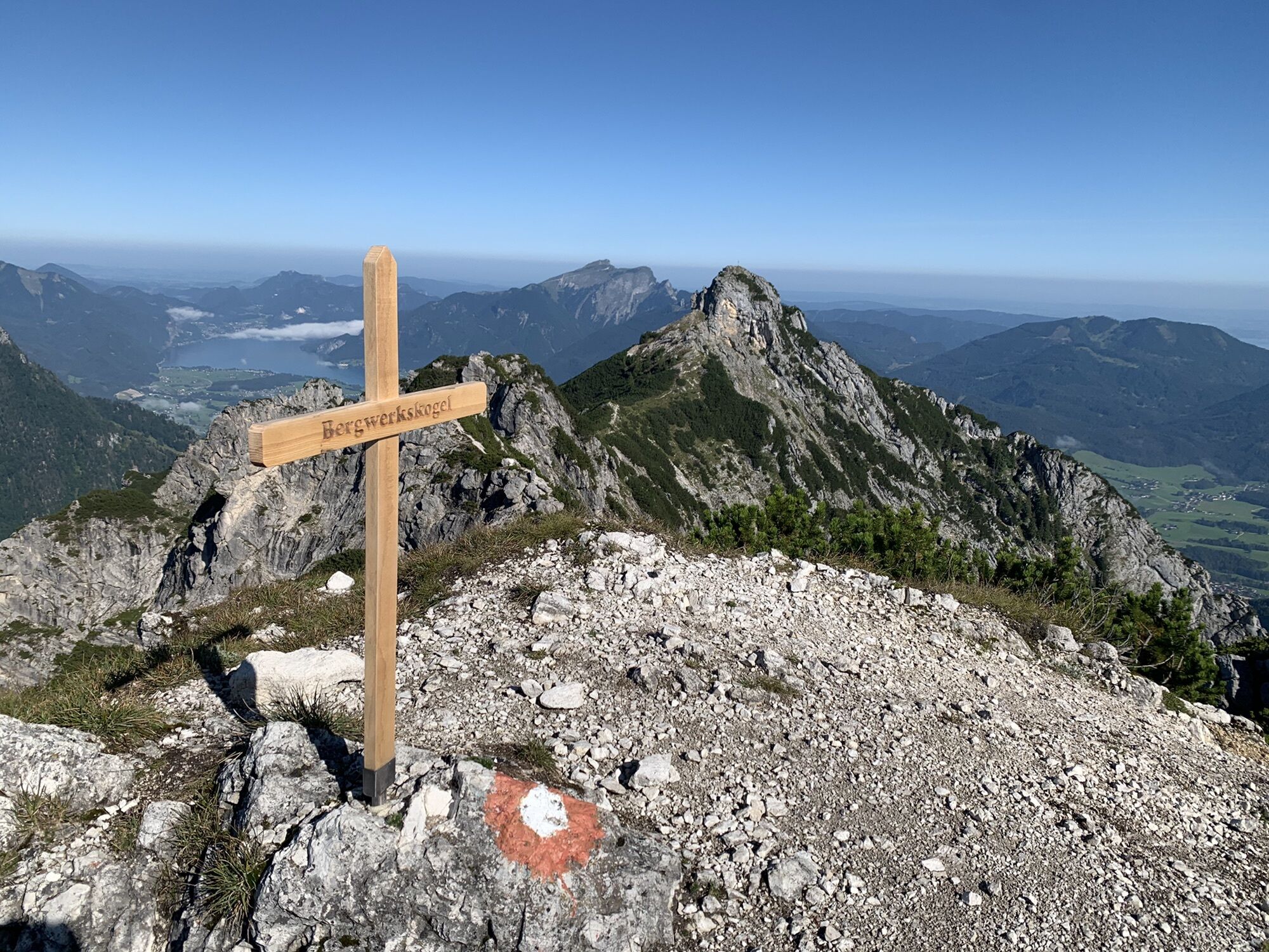
On the ridge between Bergwerkskogel and Rettenkogel
difficile
Naviguer
Naviguer
Télécharge cette visite sur ton portable
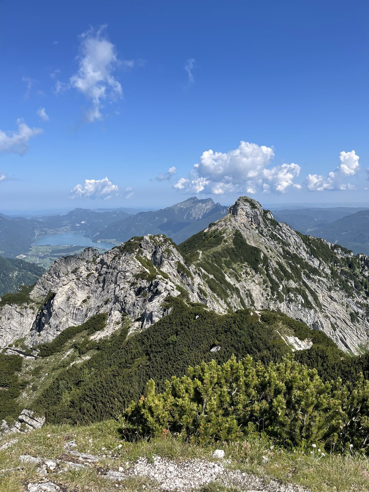
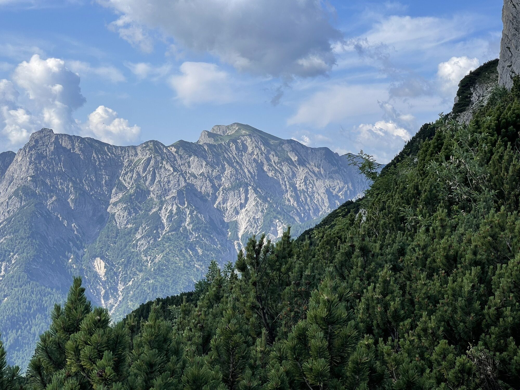
On the ridge between Bergwerkskogel and Rettenkogel
difficile
Randonnée
14,04
km
Scanner le code QR et commencer la navigation dans l'application bergfex

Randonnée & tracking


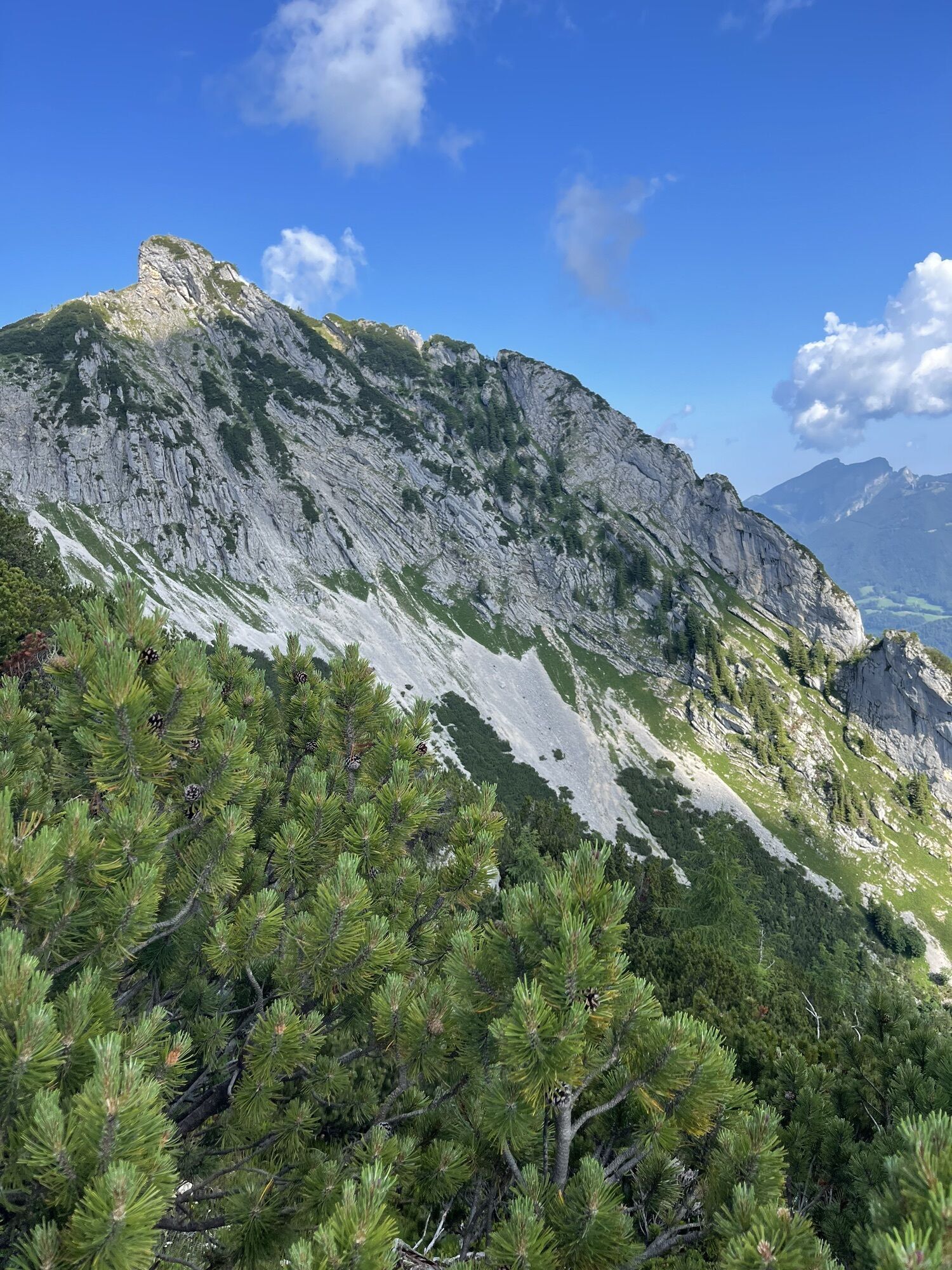
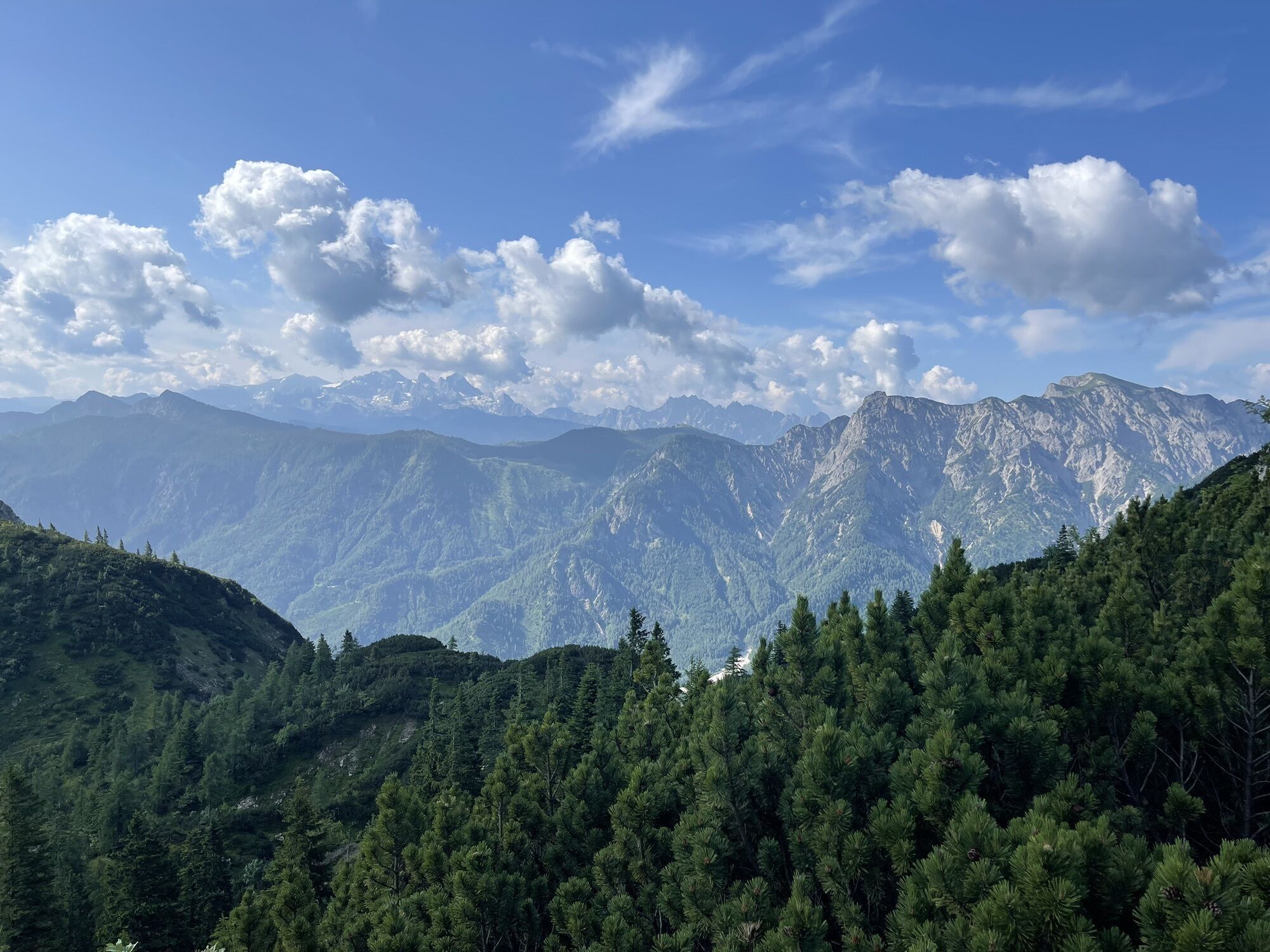
On the ridge between Bergwerkskogel and Rettenkogel
difficile
Distance
14,04
km
Durée
05:31
h
Ascension
1 272
m
Altitude
528 -
1 767
m
Téléchargement de la piste
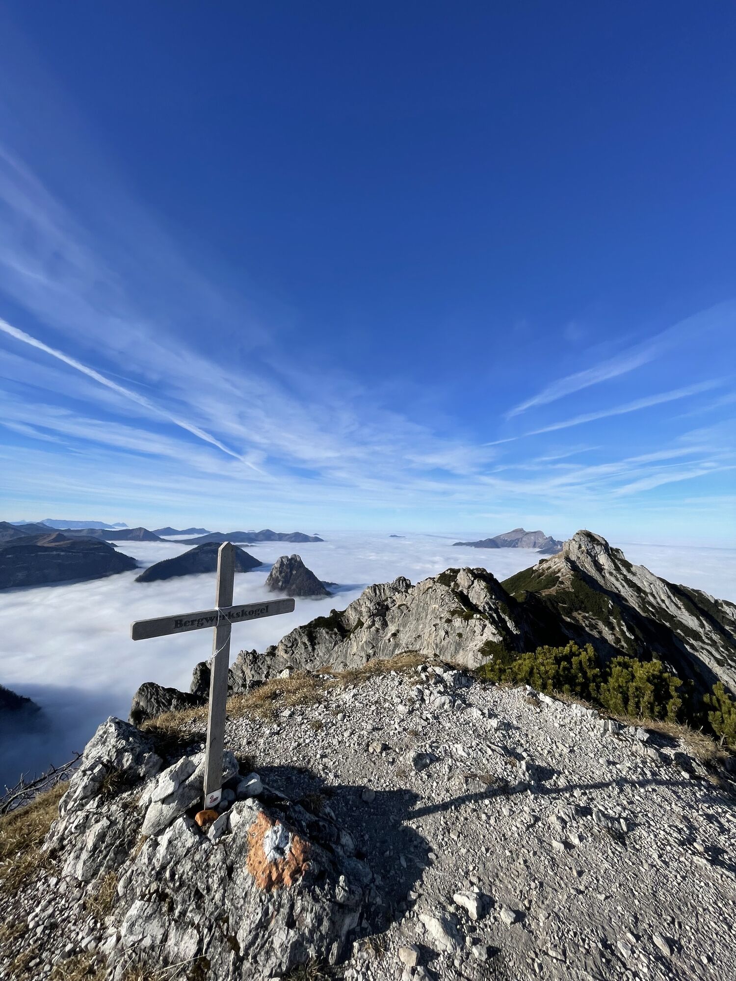
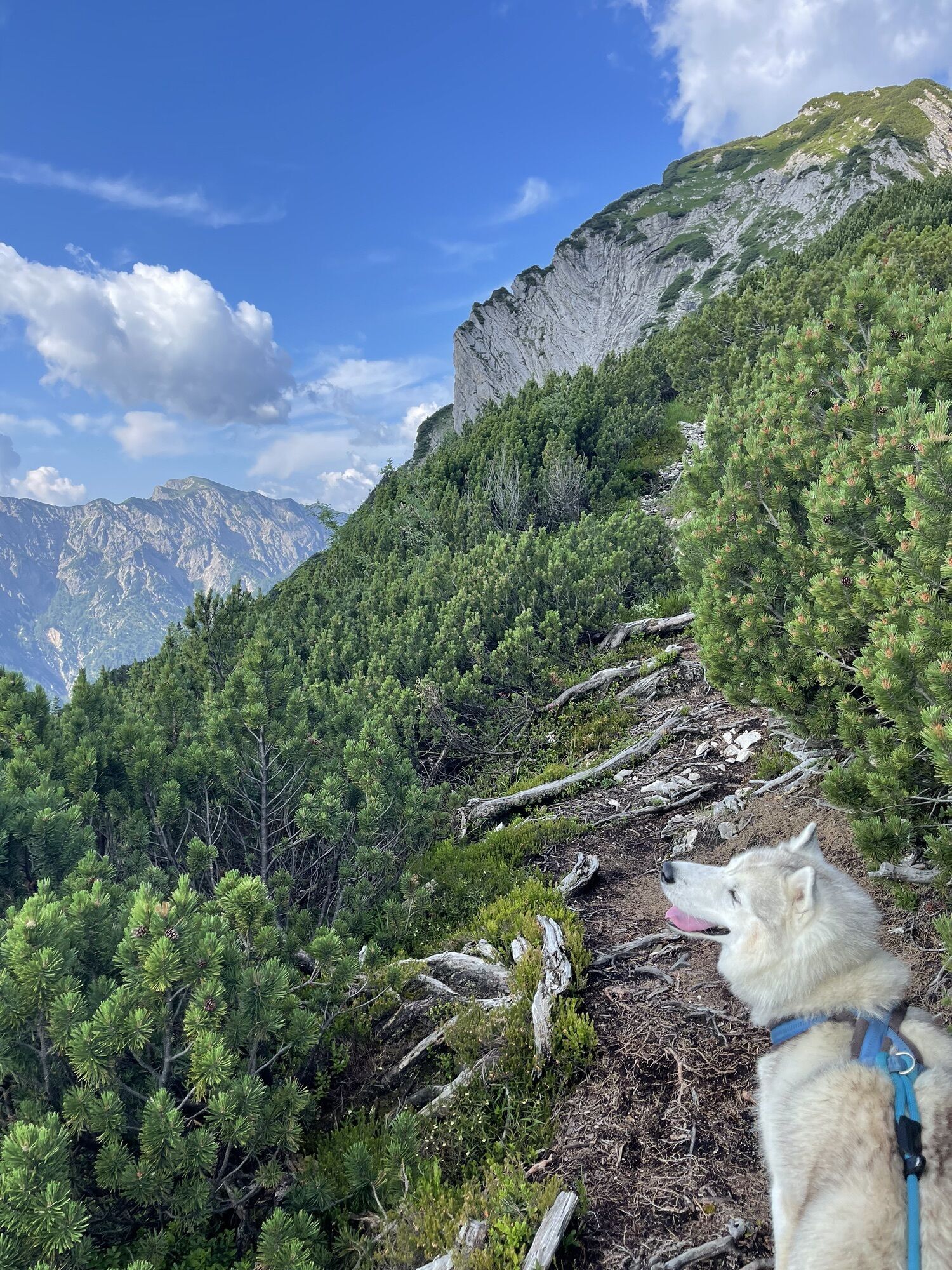
On the ridge between Bergwerkskogel and Rettenkogel
difficile
Randonnée
14,04
km


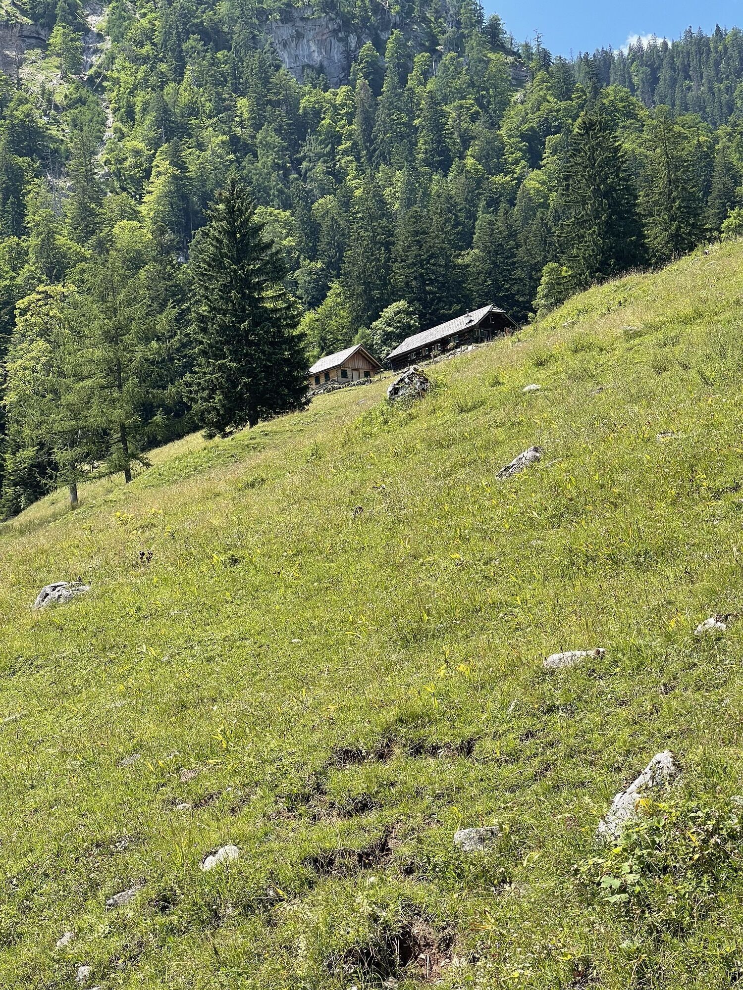
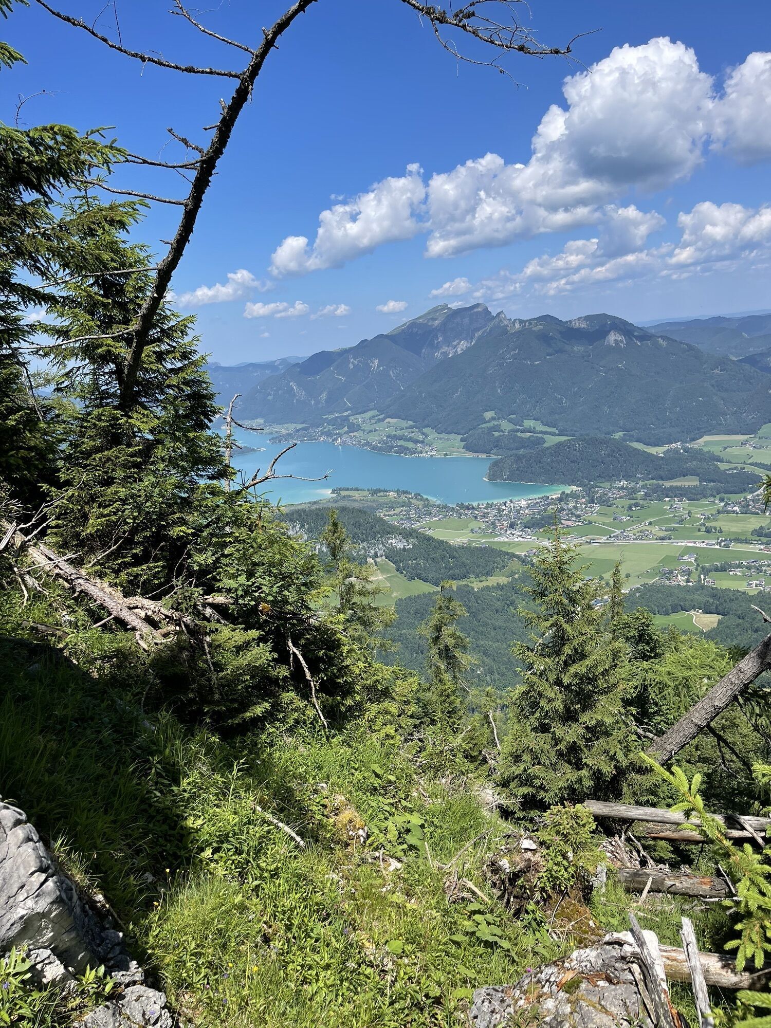
Photos de nos utilisateurs
 © Franz StumvollCréé le 07.07.2023
 © Franz StumvollCréé le 07.07.2023
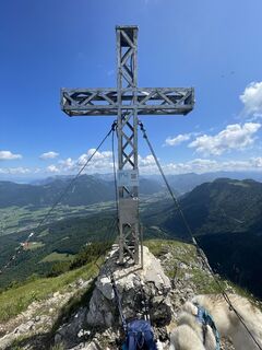 © Franz StumvollCréé le 07.07.2023
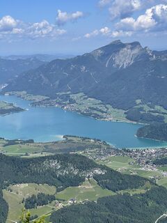 © Franz StumvollCréé le 07.07.2023
 © Franz StumvollCréé le 07.07.2023
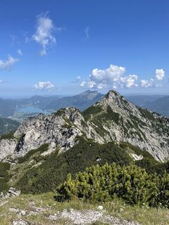 © Franz StumvollCréé le 07.07.2023
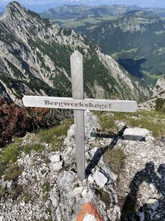 © Franz StumvollCréé le 07.07.2023
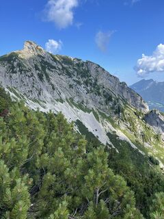 © Franz StumvollCréé le 07.07.2023
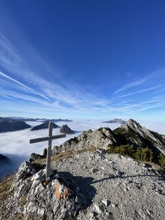
 © Maxl SchweibererCréé le 12.11.2024
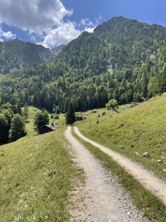 © Franz StumvollCréé le 07.07.2023
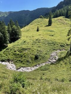 © Franz StumvollCréé le 07.07.2023
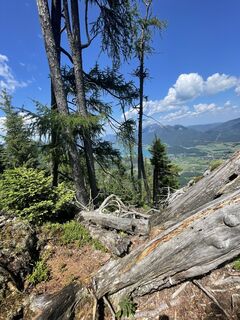 © Franz StumvollCréé le 07.07.2023
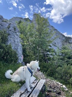 © Franz StumvollCréé le 07.07.2023
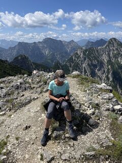 © Franz StumvollCréé le 07.07.2023
 © Franz StumvollCréé le 07.07.2023
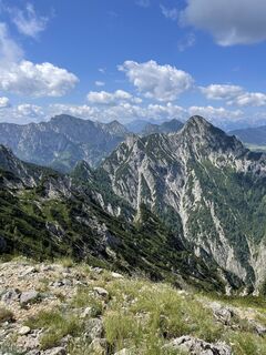 © Franz StumvollCréé le 07.07.2023
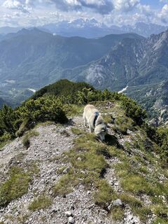 © Franz StumvollCréé le 07.07.2023
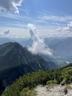 © Franz StumvollCréé le 07.07.2023
 © Franz StumvollCréé le 07.07.2023
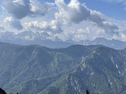 © Franz StumvollCréé le 07.07.2023
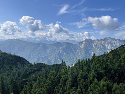 © Franz StumvollCréé le 07.07.2023
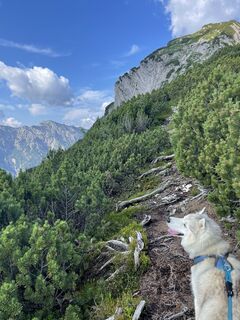 © Franz StumvollCréé le 07.07.2023
 © Franz StumvollCréé le 07.07.2023


Please find the detailed description of the tour on my blog:
mountainmaniac.michaelgrath.at/2021/0...
Parcours
Bergwerkskogl
(1 781 m)
Sommet
6,6 km
Rettenkogel
(1 780 m)
Sommet
7,1 km
Rotwandsattel
(1 200 m)
Selle de montagne
9,0 km
Gasthof zur Wacht
(521 m)
Restaurant
14,0 km
Parcours
On the ridge between Bergwerkskogel and Rettenkogel
difficile
Randonnée
14,04
km
Bergwerkskogl
(1 781 m)
Sommet
6,6 km
Rettenkogel
(1 780 m)
Sommet
7,1 km
Rotwandsattel
(1 200 m)
Selle de montagne
9,0 km
Gasthof zur Wacht
(521 m)
Restaurant
14,0 km


Dernier suivi
aujourd'hui
Informations sur l'itinéraire
Repos et restauration
Gasthof zur Wacht (Schöffaustraße 2, 5350 Strobl)
Passage escarpé
Oui
Tour des sommets
Oui
Zone forestière
Oui
Équipement
Above all, take enough water with you!
Consignes de sécurité
At the beginning and the end of the tour, the hike leads over a forest road (hiking trail 891) that has been completely destroyed by floods in parts and is de facto impassable, which is why this part of the hike should not be underestimated! For the insured passages, a via ferrata set is definitely advisable in terms of safety!
Informations sur l'arrivée
Parking
Near the Gasthof zur Wacht (Schöffaustraße 2, 5350 Strobl). Attention: The parking lot at the inn is reserved for guests!
Infos complémentaires & conseils
Évaluations
Parcours populaires à proximité
- 3,7
Pillstein Panorama Rundweg
facileRandonnée3,40 km - 4,6
Hike to the Hütteneckalm
facileRandonnée8,70 km - 4,8
Eisenaualm
moyenVTT37 km - 4,2
Weißenbach am Attersee - Schoberstein
moyenRandonnée3,31 km - 4,8
Schoberstein Attersee
moyenRandonnée5 km - 4,8
Schafberg
moyenRandonnée d'altitude16,7 km - 4,8
/\ Sparber
difficileRandonnée6,82 km - 4,6
Nixenfall Steinbach am Attersee, Österreich
facileRandonnée4,74 km - 4,1
Illinger Alm-Runde
moyenRandonnée9,89 km - 4,3
Schafberg von Sankt Wolfgang über die Dorneralm und Schafbergalpe auf die Schafbergspitze
moyenRandonnée7,72 km
Randonnée et suivi

Plus de 550.000 propositions de circuits, des cartes détaillées et un planificateur d'itinéraire intuitif font de cette application un must pour tous les passionnés de nature.

Ne manquez pas les offres et l'inspiration pour vos prochaines vacances
S'inscrire à la newsletter
Erreur
Une erreur s'est produite. Veuillez réessayer.Merci pour votre inscription
Votre adresse électronique a été ajouté à la liste de diffusion.
Parcours en Europe
Autriche Suisse Allemagne Italie Slovénie France Pays-Bas Belgique Pologne Liechtenstein République tchèque Slovaquie Espagne Croatie Bosnie-Herzégovine Luxembourg Andorre Portugal Islande Royaume-Uni Irlande Grèce Albanie Macédoine du Nord Malte Norvège Monténégro Moldavie Kosovo Hongrie Saint-Marin Roumanie Estonie Lettonie Bélarus Chypre Lituanie Serbie Bulgarie Monaco Danemark Suède Finlande