


Sensory ectasy on the eastern shore of Lake Wolfgangsee


This hike has the potential to pass as my "most enchanting". It begins in the northernmost tip of Lake Wolfgang, just below a public parking lot, and makes two loops to take in viewpoints. Visual artists...
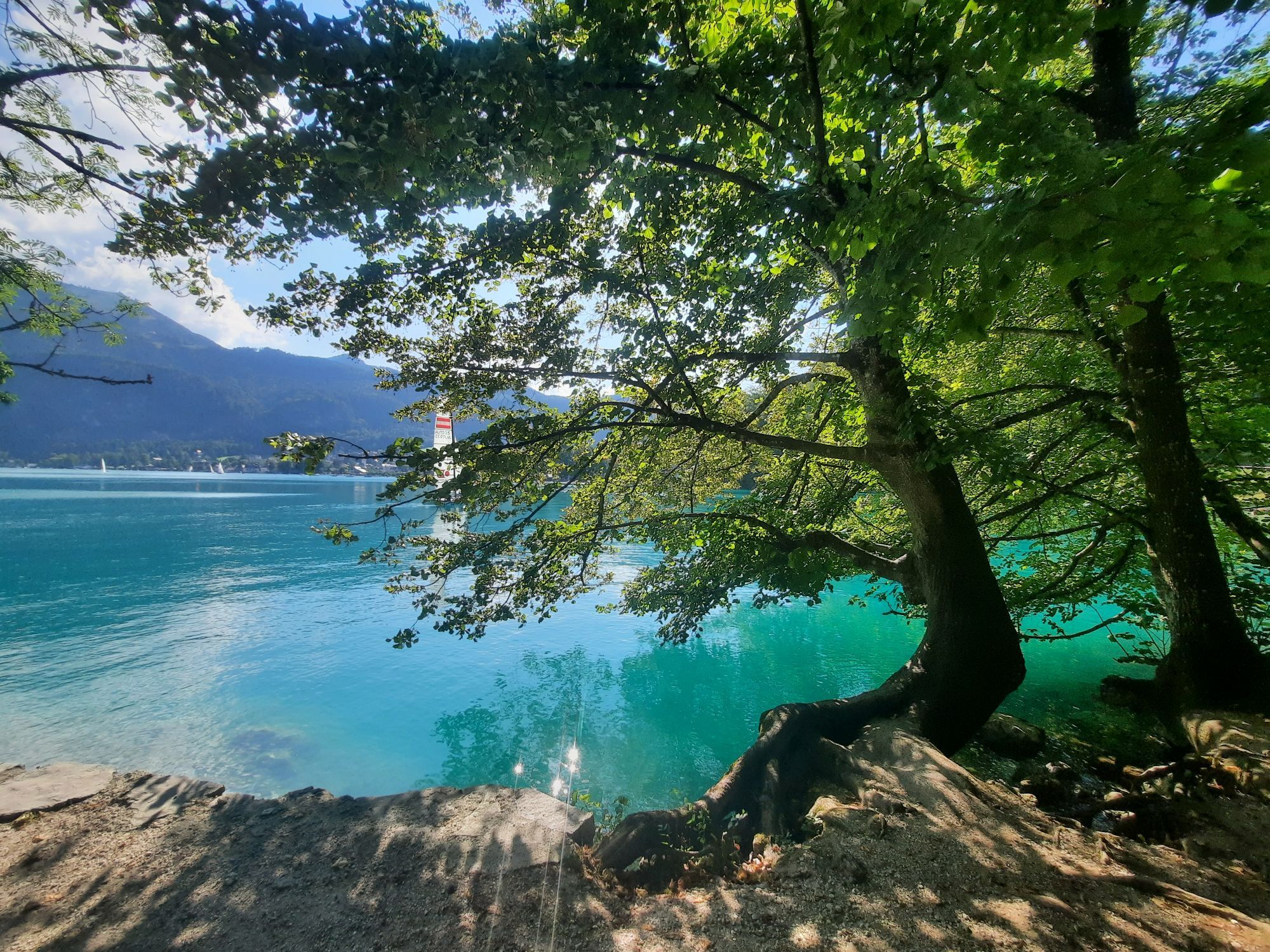
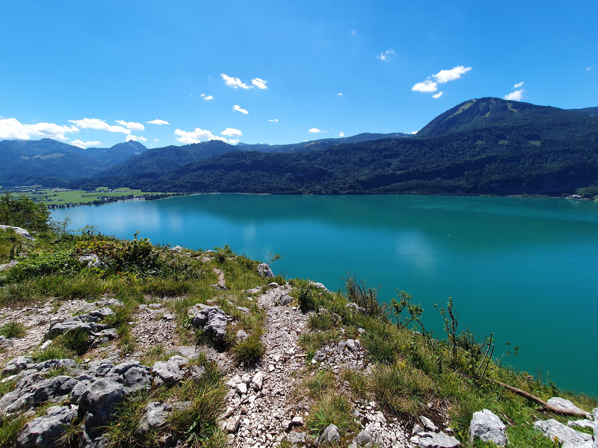
This hike has the potential to pass as my "most enchanting". It begins in the northernmost tip of Lake Wolfgang, just below a public parking lot, and makes two loops to take in viewpoints.
Visual artists such as the painter Adolf Helmberger recognized the beguiling beauty and subtle magic of this wonderful spot earlier. The novel Strahlenheim by Alexander Lernet-Holenia recalls the ambivalent mood of a bygone wartime, so contrasting with the intoxication of sensory impressions ...
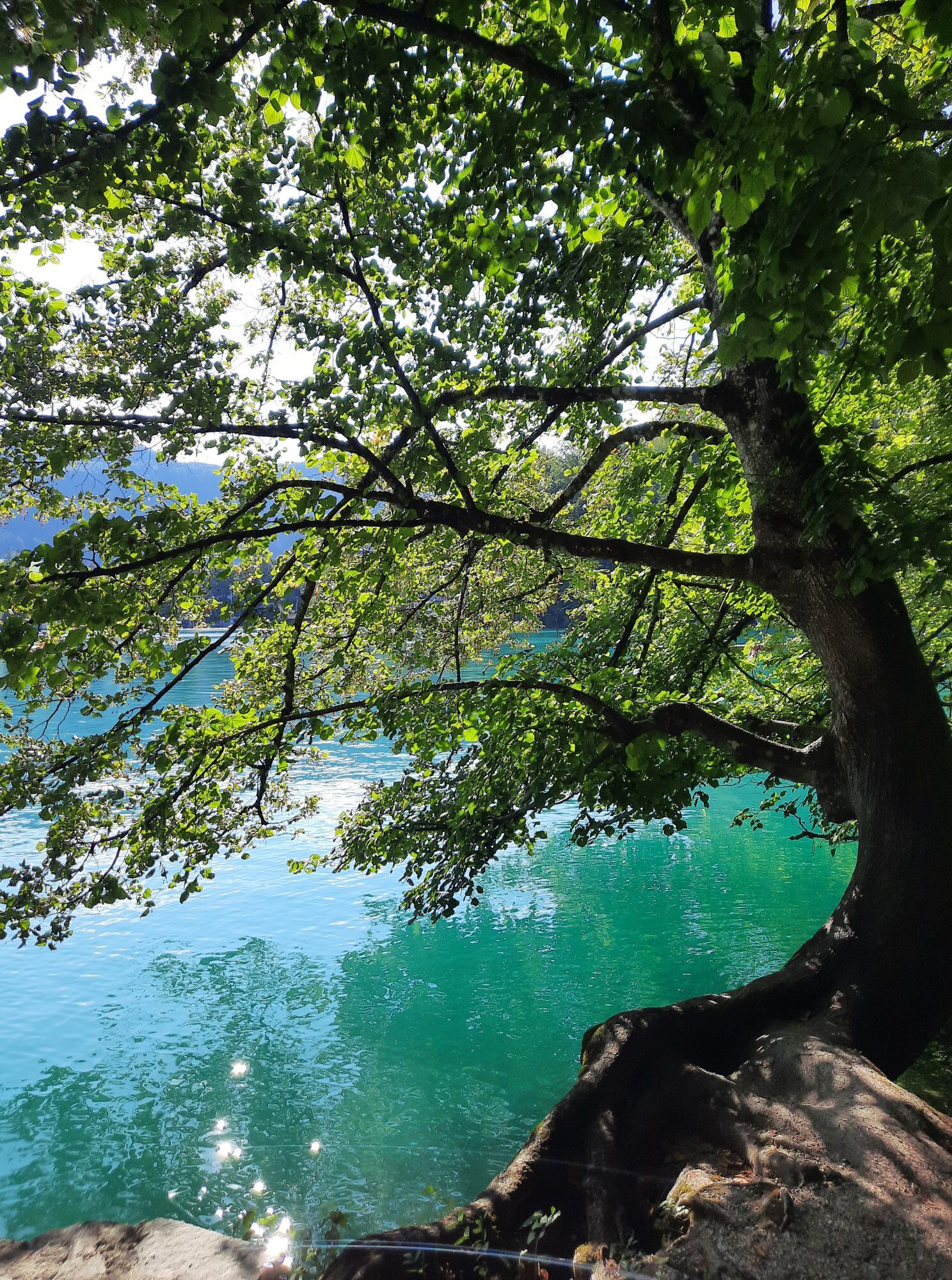
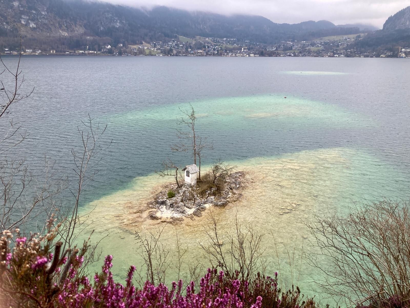
The lake promenade leads close to the green-blue edge of the lake, then slightly ascending to the right to the viewpoint of the Ox Island. Then it goes to the wedding cross, in the vicinity of which hardy lads throw themselves from the cliffs into the deep water. Their girlfriends record this scenery with their cell phone. Afterwards it goes to another secret bay --- where the marking ends and on a Taferl stands that it continues here surely not to St. Wolfgang --- which causes one to the opposite speculation, since in one of the maps even a way is marked ...
Well -- there is a way: a well preserved stone mark west this as number "517" -- but it is only recommended for the experienced and sure-footed. The entranceto the path must be searched and found. Then it goes steeply up into the forest. As a criterion, one overcomes a rocky threshold, where one has to scramble a bit, and then, coming higher and higher, finally over mountain pines and stone slabs, one strives for the "official trail", which leads to two high vantage points, one named "Scheffelblick"; then briefly down into a depression and up again to a new vantage point named "Aberseeblick". Then head back towards the pilgrims' path, which you follow back to the right.
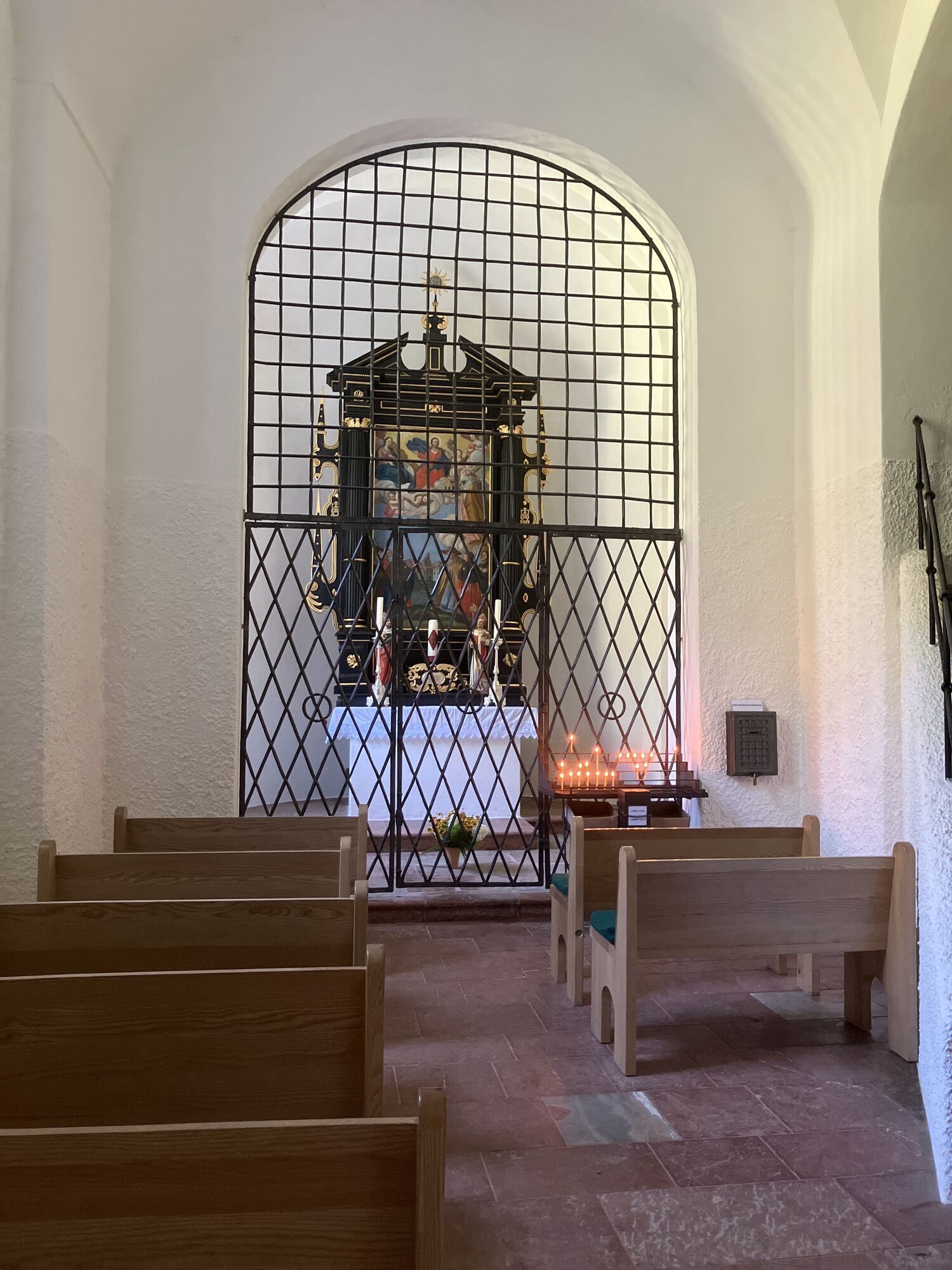
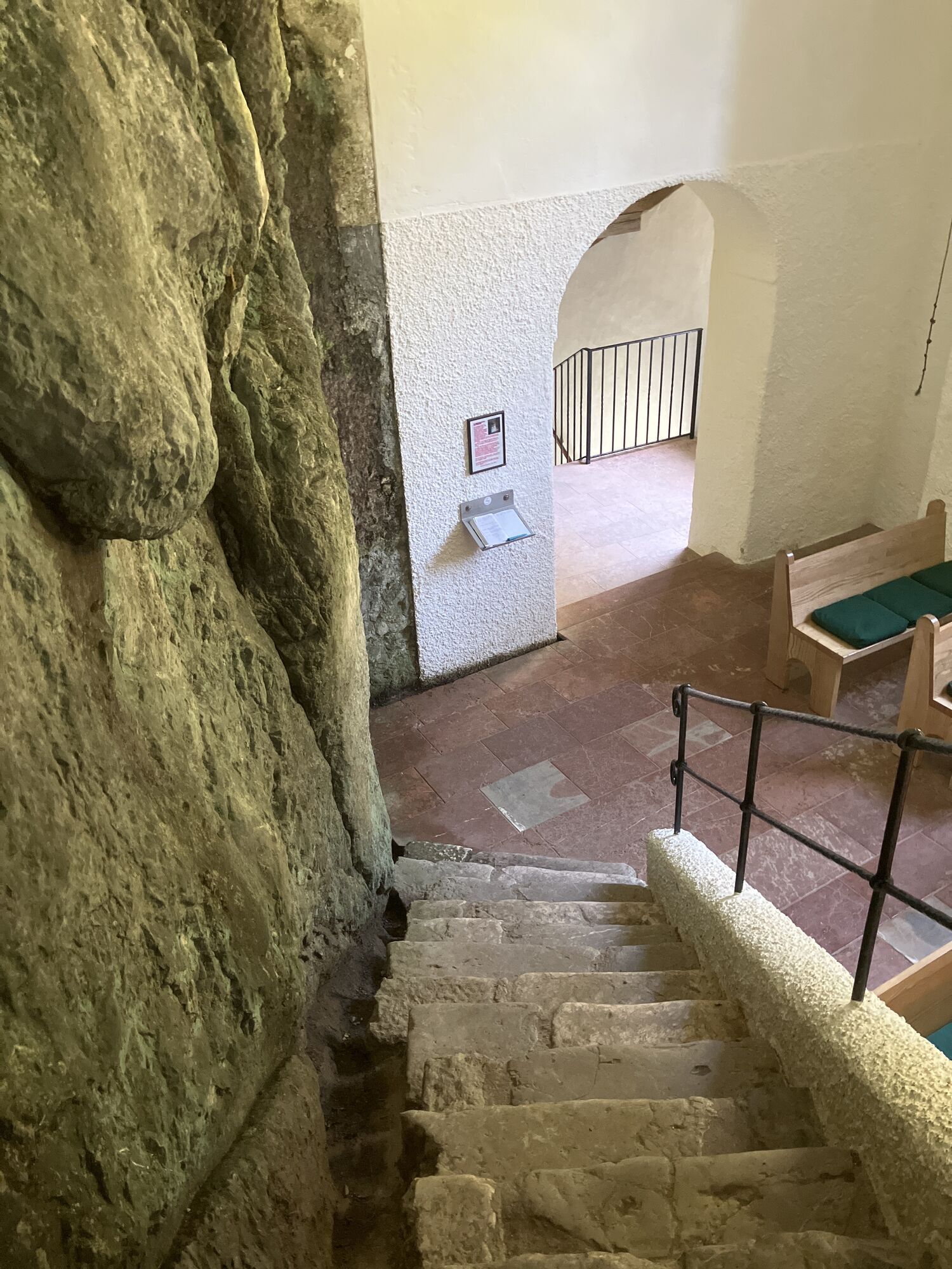
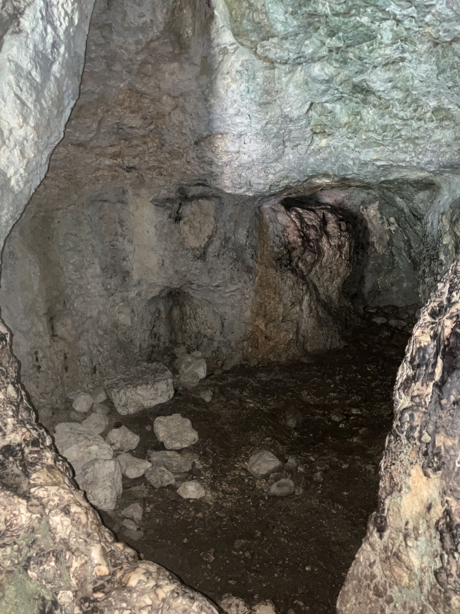
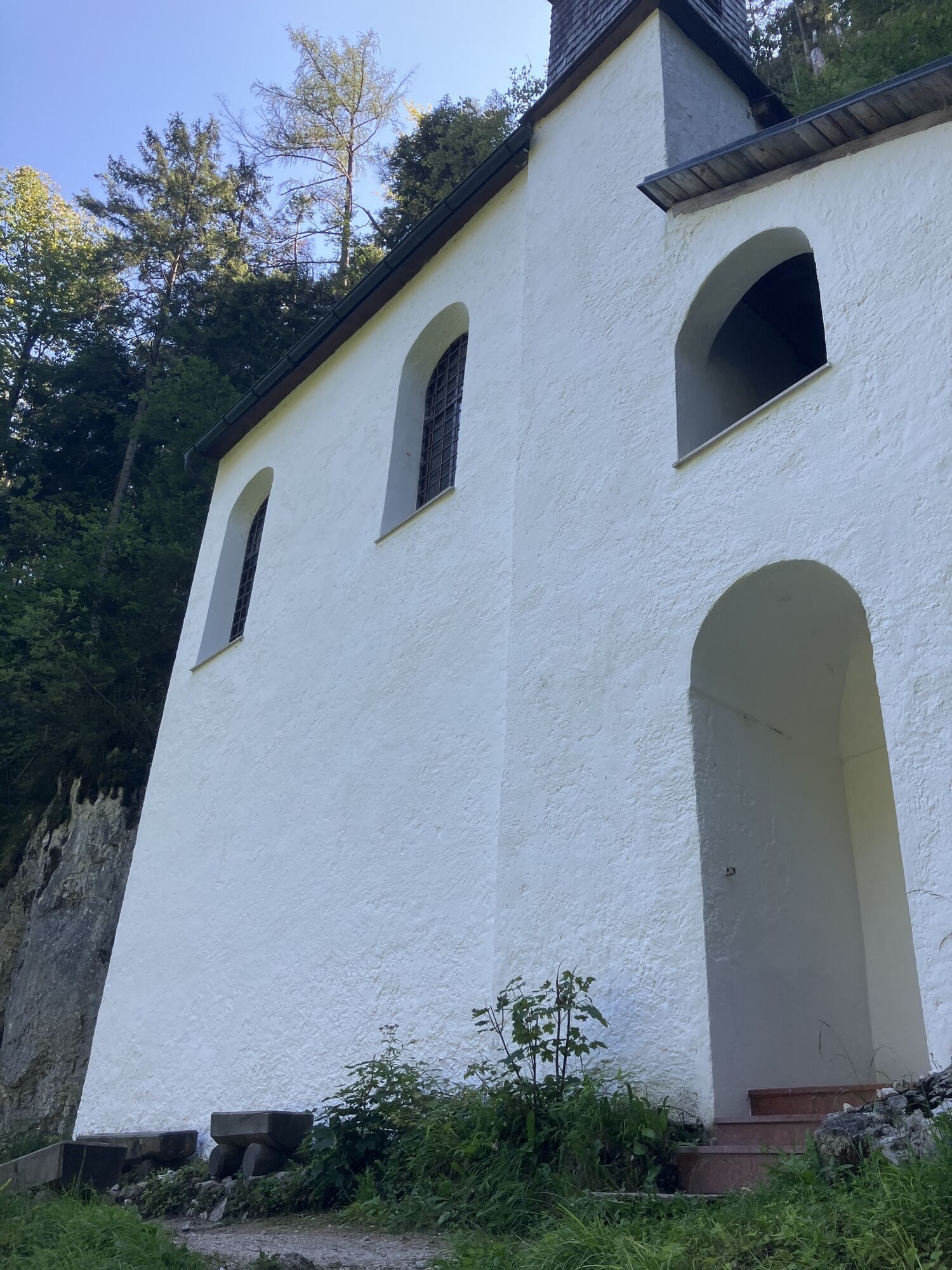
A long time ago, when I visited the summer school of the University of Vienna in Strobl, we "locals" tried to encourage the foreign students to ring the chapel bell ... Lernet-Holenia describes how early on one tried to squeeze through the narrow gap which is in a cave inside the church (to get rid of one's sins? Or out of foolishness?) --- and occasionally got stuck in the gap. A magic place in any case.
I, too, had my magic moment in that little church. For I met in it the perfect grace in the form of a young woman. This encounter was again proof of my theory that any natural beauty --- yes even the art, may it also render Botticellian grace(s) --- pales before the radiant face of a human appearance that beguiles one with every fiber of ones existence.
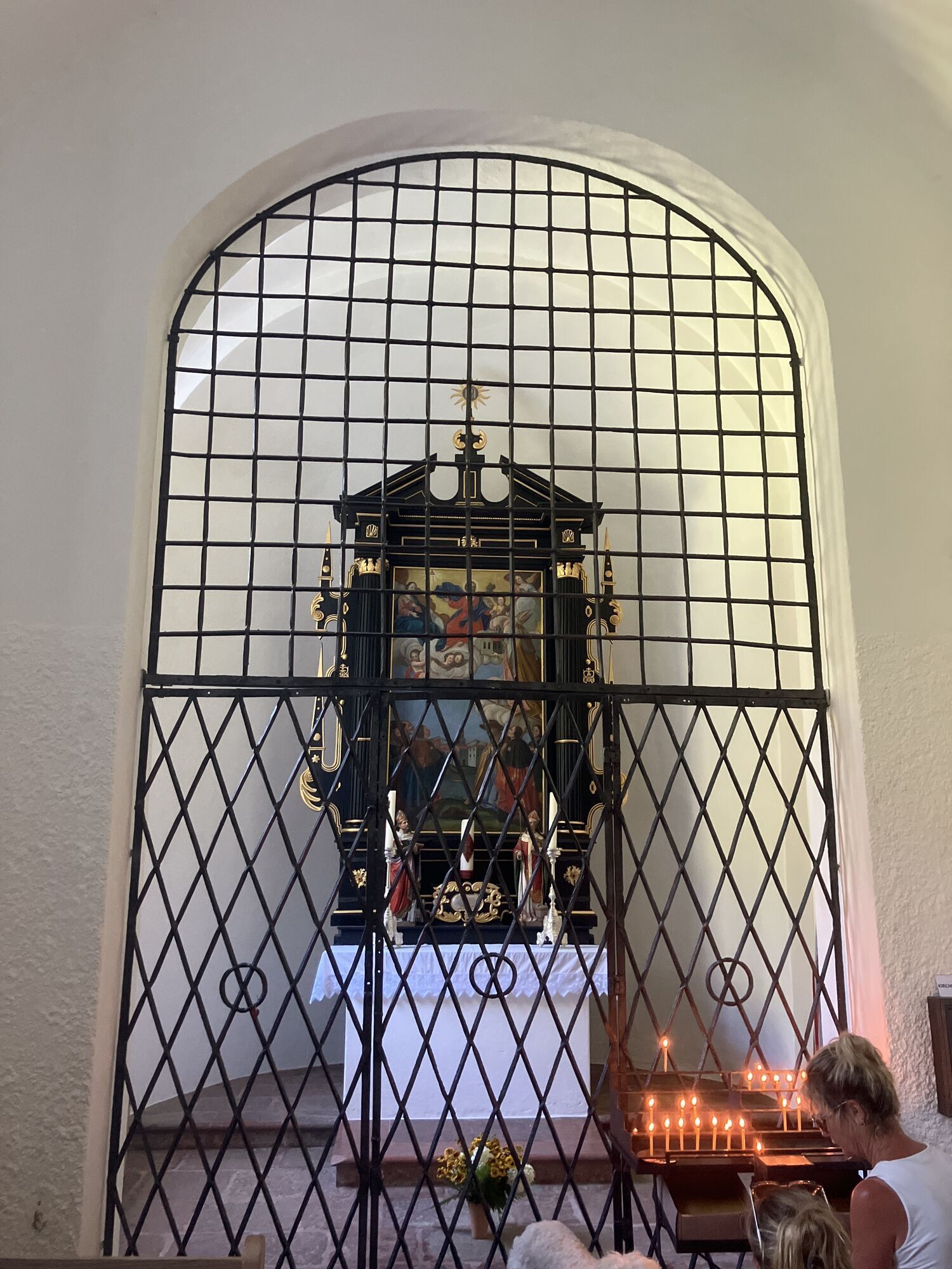
I have of course immediately tried to encourage the lady to ring the bell herself, which then made her visibly joy. Before ringing she asked me whether that would not be forbidden. I answered this fairy-like appearance, whether I should forbid it to her then? The lady may forgive me that I publish a photo of her pulling the bell train; it is not particularly sharp and shows the mood of this moment; in the crystallized enchanted time it is probably a work of art itself. She could contact me about it, and she already suspected everything when she asked me: am I going to be in the papers?
The evening walk back to Fürberg and the waterfront invites to a last refreshing swim. A deep, dark longing accompanied me on this late walk back, as it resounds in the music of Richard Wagner, the early Schönberg, Wolfgang Korngold and in Gustav Mahler. Then, when the reddish sun glistens in the lake and the huge old trees appear delicate and fragile, one is reminded of a last song by Richard Strauss: "Sit down! Hier dämmerts geheimnisvoll unter den Lindenbäumen."


Not back again, but down towards St. Wolfgang, and by boat to Fürberg.
Oui
Oui
Oui
Oui
Oui
parking place at the main road to St. Wolfgang (coming from Mondsee)
Parcours populaires à proximité
- 3,7
Pillstein Panorama Rundweg
facileRandonnée3,40 km - 3,6
Mondsee: Rund um den Mondsee
facileFaire du vélo26,3 km - 4,1
Hintersee Rundwanderweg
facileRandonnée5,10 km - 4,8
Schober -Aussichtsplattform mit Seensicht
difficileRandonnée2,65 km - 4,8
Eisenaualm
moyenVTT37 km - 4,2
Weißenbach am Attersee - Schoberstein
moyenRandonnée3,31 km - 4,8
Schoberstein Attersee
moyenRandonnée5 km - 4,8
/\ Sparber
difficileRandonnée6,82 km - 4,8
Schafberg
moyenRandonnée d'altitude16,7 km - 4,6
Almkogel Rundwanderung Salzburg
facileRandonnée9,60 km
Randonnée et suivi


Ne manquez pas les offres et l'inspiration pour vos prochaines vacances
Votre adresse électronique a été ajouté à la liste de diffusion.