


KA2 |Tour Lechnerberg


Passing through beautiful forest sections, you reach places with wonderful views of the village of Kaprun and the Salzach valley. Downhill fun, requiring not much technique, is guaranteed.
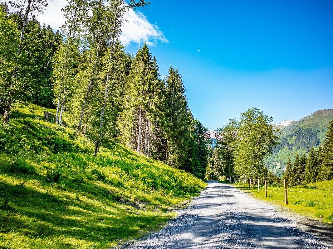
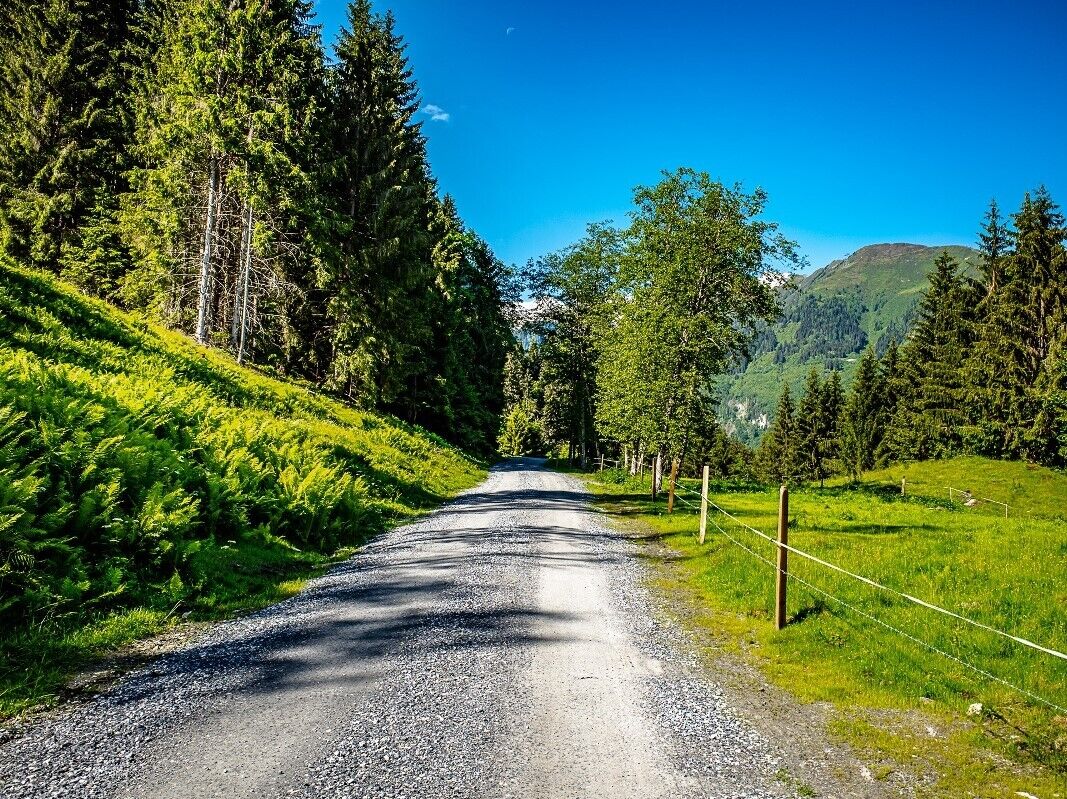
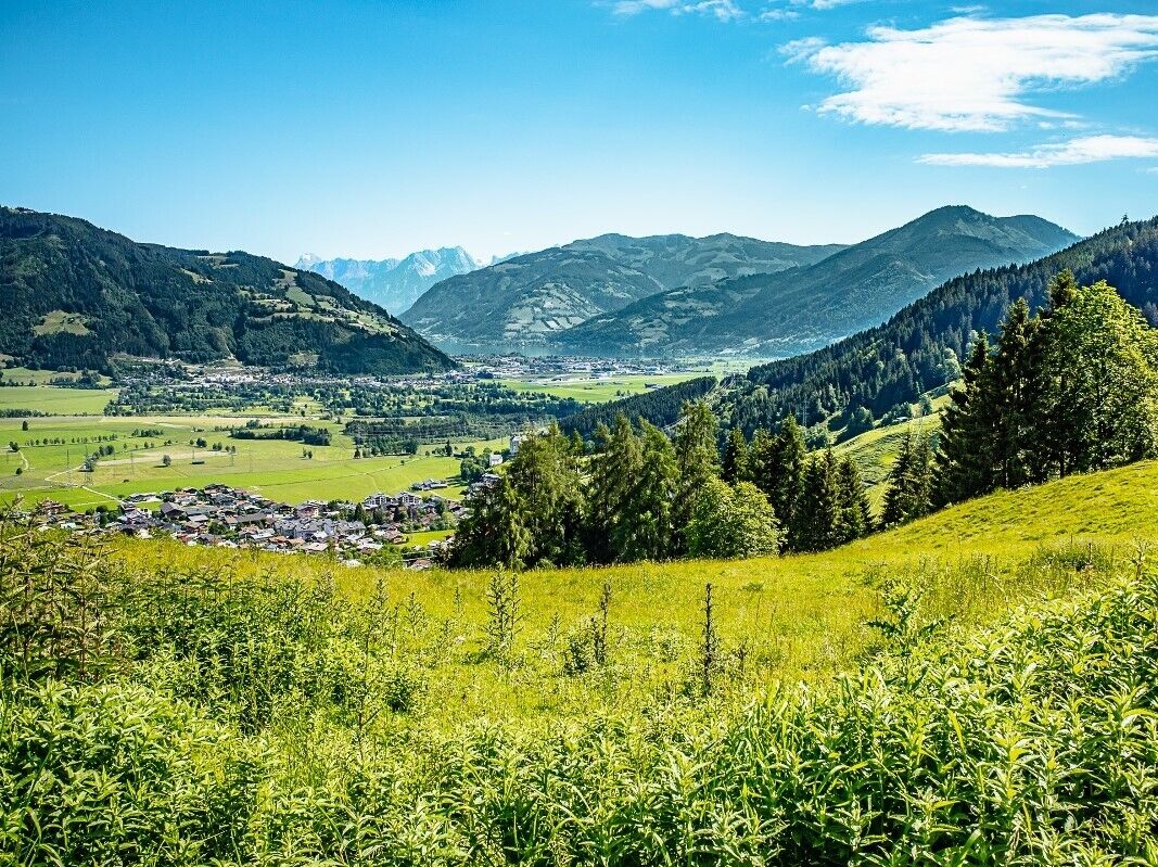
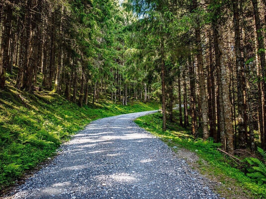
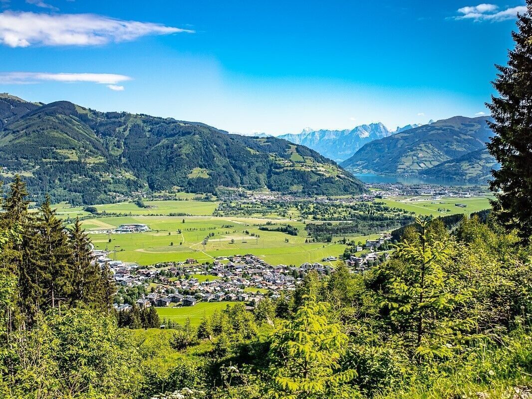
Once you have reached the highest point of the Guggenbichl Tour at 913 metres above sea level, this alternative trail leads to the right and along the forest road further uphill to the Lechnerberg. The ascent on the well-prepared surface is surprisingly easy to master, and the 200 metres in altitude are soon accomplished. Shortly after the third hairpin bend, there is a beautiful vantage point with a view of the village and the Salzachtal valley. Continuing from this resting place, the trail leads almost flat to the turning point at 1,135 metres above sea level. The diverse downhill fun then begins after a sharp left-hand bend: here, between gravel paths and meadow sections, tractor furrows can be found from time to time, but these tend to contribute to the biking fun. When you reach the intersection where the ascent began, the route turns right onto a meadow directly after the T-bar lift. This section resembles a trail with some technique requirements and provides a little challenge at the end before the route rejoins the KA1 Guggenbichl Tour.
Bike Ausrüstung, Erste Hilfe- und Reifenpannenset
train station Zell am See
at Kaprun Centre near MK Maiskogel cable car station
Parcours populaires à proximité
-
4,1
Hundstein-Runde von Maria Alm
difficileVTT 44,4 km -
3,8
Großglockner Hochalpenstrasse
difficileFaire du vélo 20,2 km -
3,9
MTB Tour - Hundstein Round (Tour 5)
difficileVTT 42,6 km -
4,0
Schwalbenwand Nr. 80, 81, 82
moyenRandonnée 13,0 km -
4,4
Sigmund Thun Klamm
facileRandonnée 3,10 km -
4,5
Hoher Tenn mit Bergspitze 3.368m, Schneespitze 3.317m, Kleiner Tenn 3.158m, Bauernbrachkopf 3.125m, Kempsenkopf 3.090m, Imbachhorn 2.470m, Rettenzink 2.510m & Rosskopf 1.999m
difficileRandonnée d'altitude 31,8 km -
5,0
Naturjuwel Wiegenwald
moyenRandonnée 2,11 km -
5,0
Fusch: Gleiwitzer Hütte
difficileRandonnée 8,26 km -
4,6
3 Oktober Fusch Walcher Grung und Hohalm
moyenRandonnée 8,57 km -
4,8
Sigmund Thun Klamm, Klammsee, Bürgkogel
facileRandonnée 4,56 km

Randonnée et suivi


Ne manquez pas les offres et l'inspiration pour vos prochaines vacances
Votre adresse électronique a été ajouté à la liste de diffusion.