


Werfenweng Mountainbikerunde Moosalm


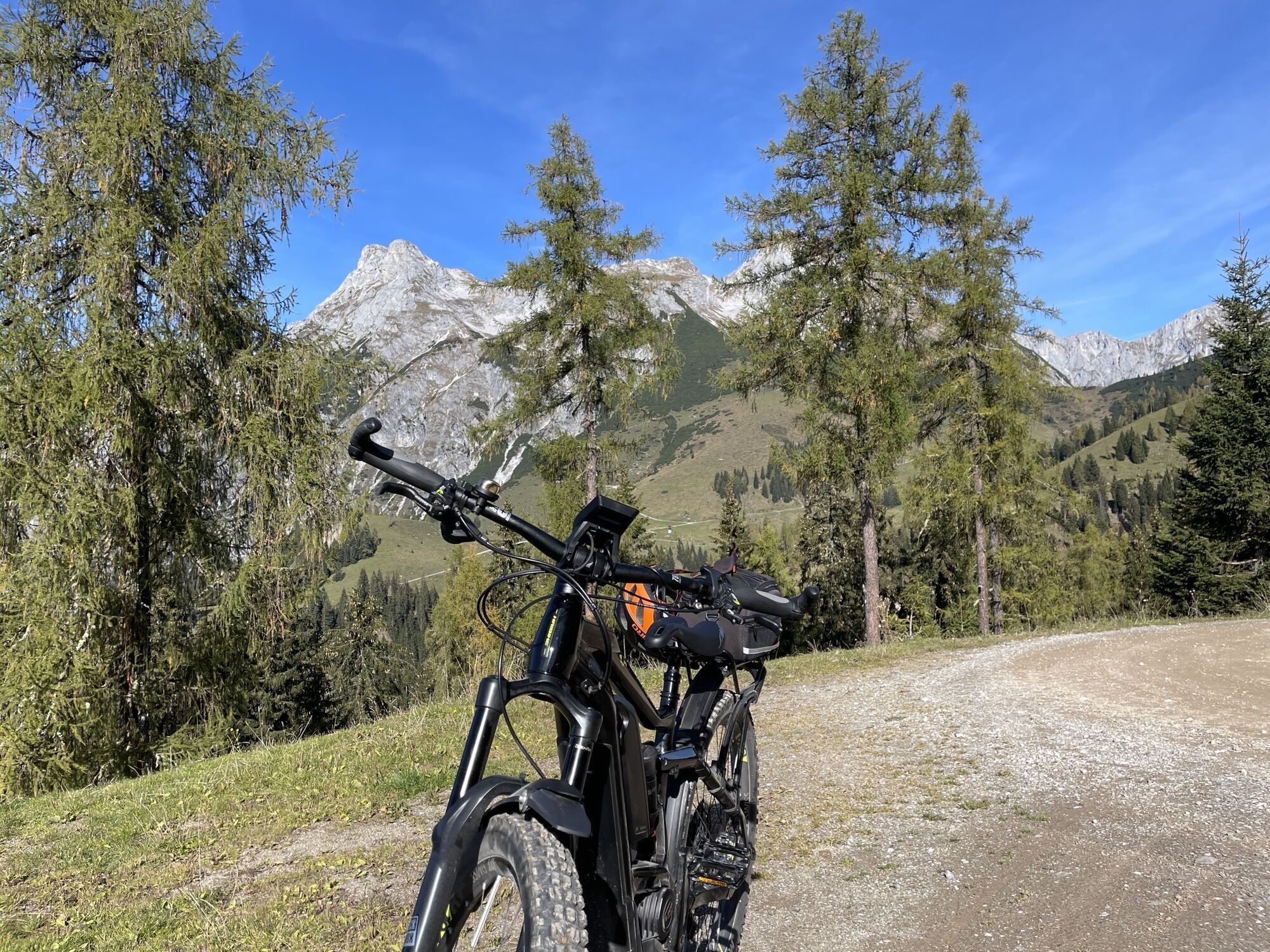
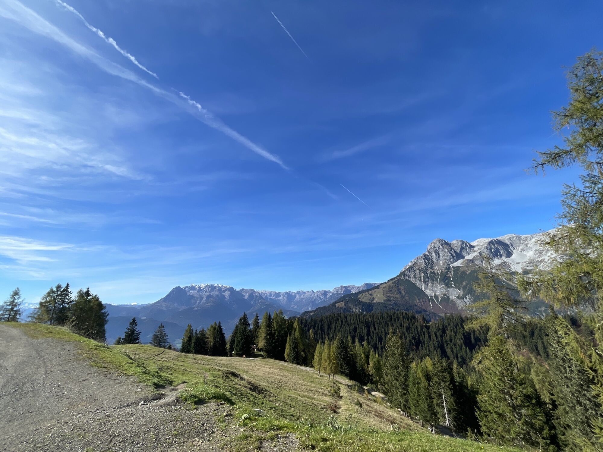
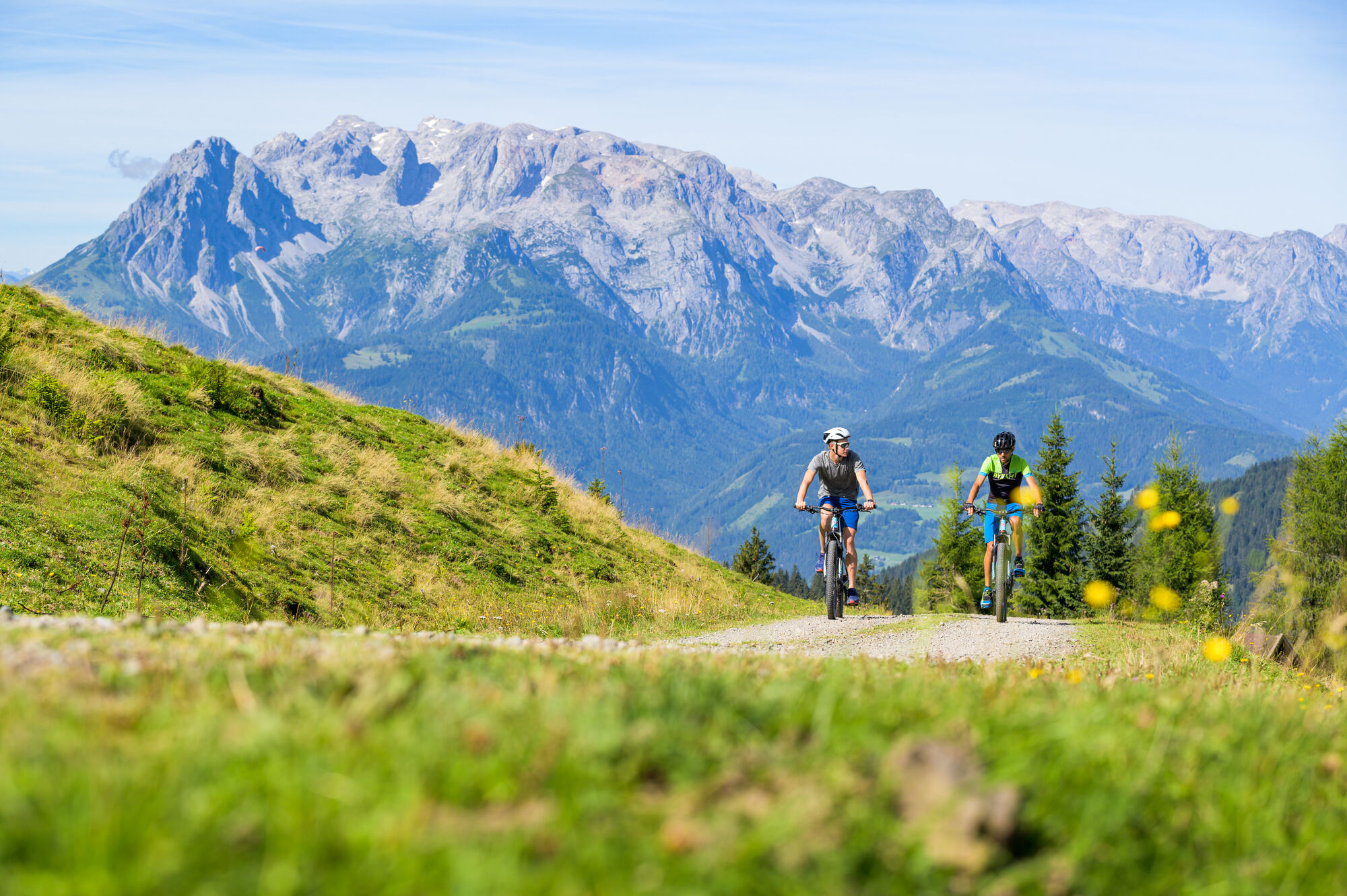
We start our mountain bike or e-bike tour in the center of Werfenweng and head towards Zaglau. From the parking lot of the mountain railways, the path then leads past behind the Liftstüberl. After about...
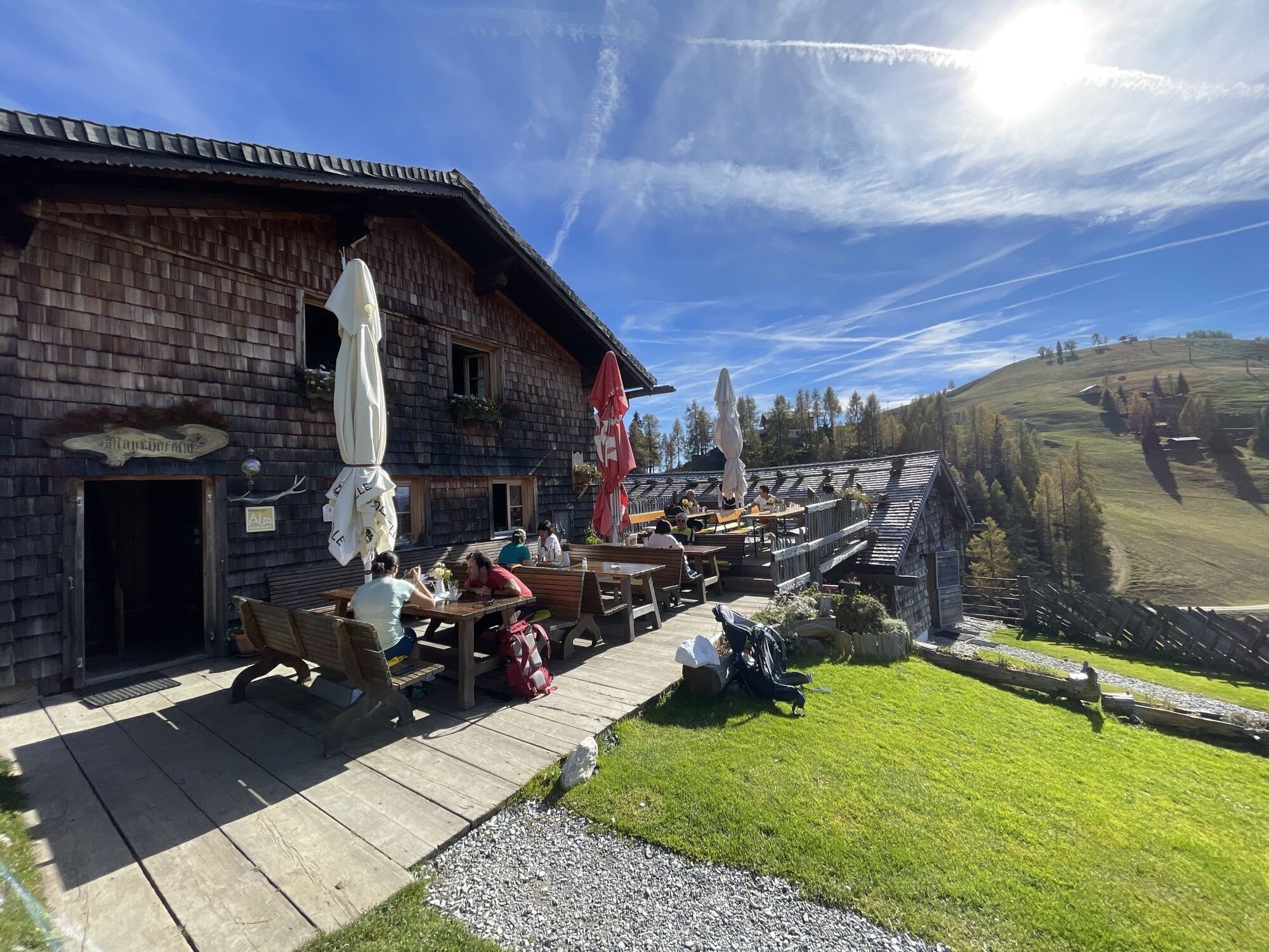
We start our mountain bike or e-bike tour in the center of Werfenweng and head towards Zaglau. From the parking lot of the mountain railways, the path then leads past behind the Liftstüberl. After about 1 hour driving time on the forest path we reach the Strussingalm (unmanaged). From here the path continues to the Moosalm. The way back now leads back the same way to the Zaglau and to the town center.
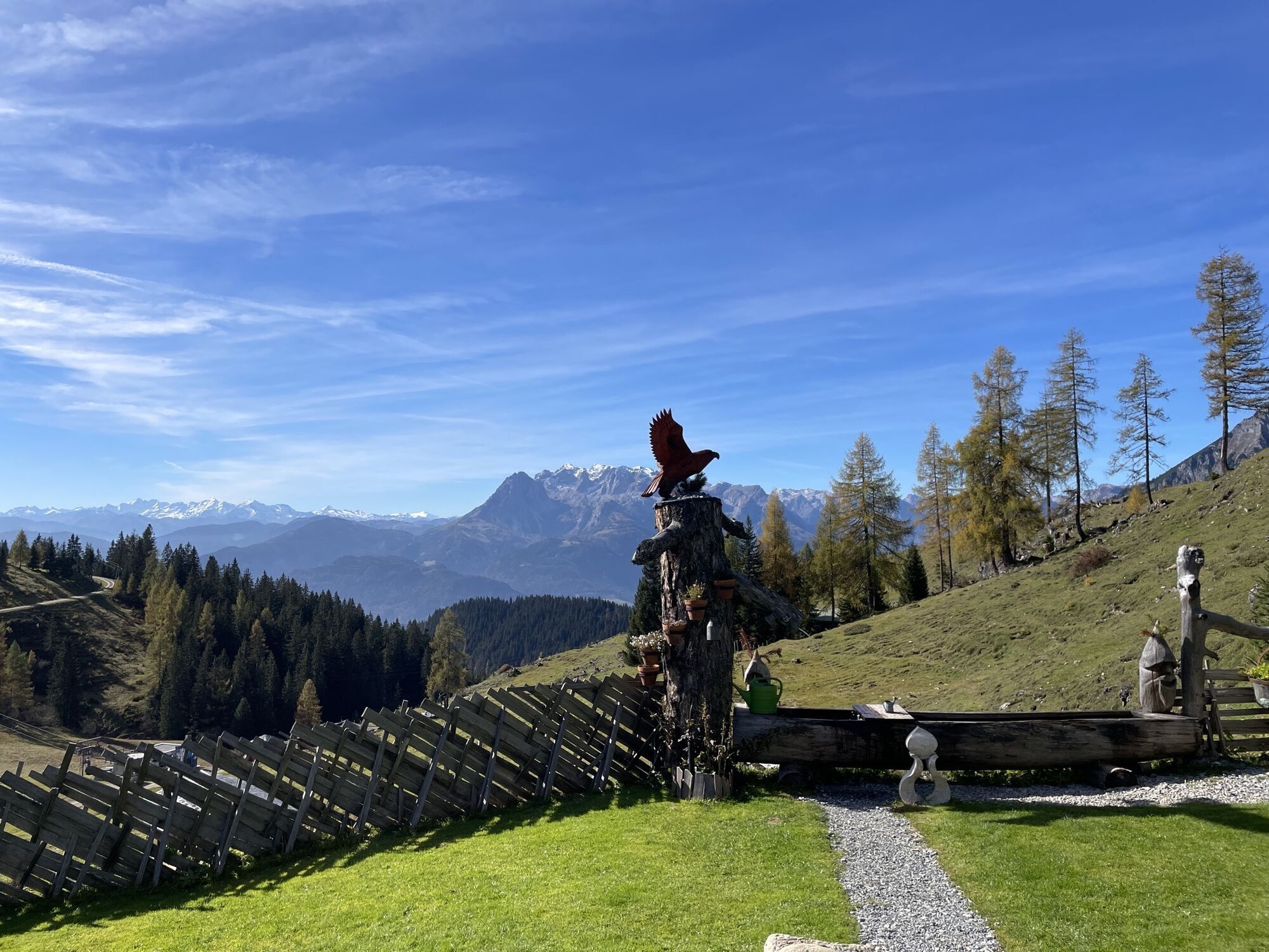
Alternatively, you can continue to Dr. Heinrich-Hackel Hütte and/or bike to the Frommer Niederalm. See our other mountain bike tours.
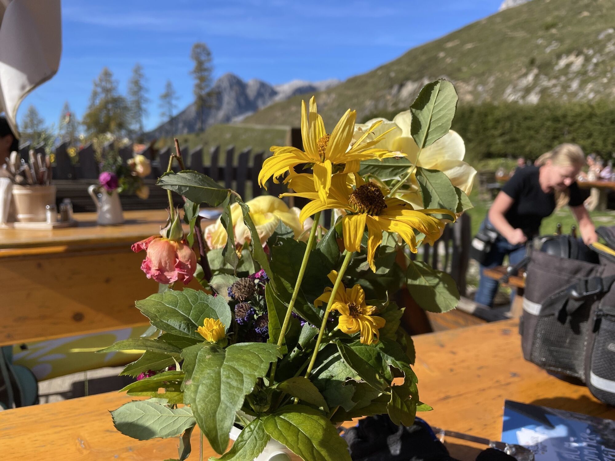
Breathtaking panorama- delicious hut delicacies
Please stay on the marked paths!

Moosalm
Zug ab Salzburg nach Werfen, Pfarrwerfen oder Bischofshofen und W³-Shuttle ab Bahnhof nach Werfenweng
Zug ab Salzburg nach Werfen, Pfarrwerfen oder Bischofshofen und W³-Shuttle ab Bahnhof nach Werfenweng
Ortszentrum or parking lot at Bergbahnen Werfenweng
3/6
3/6
Webcams de la tournée
Bischling
Pfarrwerfen Feratel
Talstation 8 EUB
Pfarrwerfen
Pfarrwerfen Feratel
Pfarrwerfen Feratel
Pfarrwerfen Feratel
Pfarrwerfen Feratel
Pfarrwerfen Feratel
Pfarrwerfen Feratel
Pfarrwerfen Feratel
Bischling
Bischling
Bischling
Bischling
Bischling
Bischling
Bischling
Talstation 8 EUB
Talstation 8 EUB
Talstation 8 EUB
Talstation 8 EUB
Talstation 8 EUB
Talstation 8 EUB
Talstation 8 EUB
Hackelhütte
Pfarrwerfen, Eulersberg
Schnapfenriedl
Rosnerköpfl
Rosnerköpfl
Rosnerköpfl
Rosnerköpfl
Rosnerköpfl
Rosnerköpfl
Rosnerköpfl
Rosnerköpfl
Parcours populaires à proximité
- 4,9
Hochkönig - Gipfel der Gefühle - Matrashaus
difficileRandonnée20,9 km - 3,8
Randonnée au sommet Hochkönig - montée principale
difficileRandonnée18,1 km - 4,7
Randonnée panoramique vers le Hochkeil
moyenRandonnée6,07 km - 4,7
Mühlenweg und Winnerfall Scheffau am Tennengebirge
moyenRandonnée4,79 km - 3,6
Wanderung zur Ostpreußenhütte in Werfen (1.630 m)
moyenRandonnée11,2 km - 4,7
Par le "circuit des Vier Hütten" jusqu'à la Windraucheggalm
moyenRandonnée10,1 km - 3,7
Auf die Ostpreussenhütte
moyenRandonnée16,6 km - 4,2
Wasserfallweg (UNESCO-Geopark Erz der Alpen)
facileChemin thématique4 km - 3,6
Jeu des sommets de Salzbourg : vers le Gerzkopf et les Schwarzen Lacken
moyenRandonnée8,39 km - 4,5
Wengerau - Tauernkogel - Eiskogel - Napf - Wengerau
moyenRandonnée d'altitude15,5 km
Randonnée et suivi


Ne manquez pas les offres et l'inspiration pour vos prochaines vacances
Votre adresse électronique a été ajouté à la liste de diffusion.