


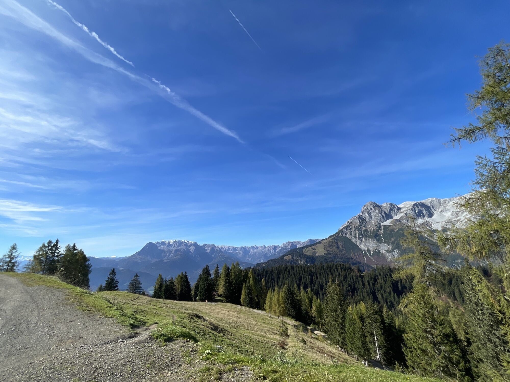
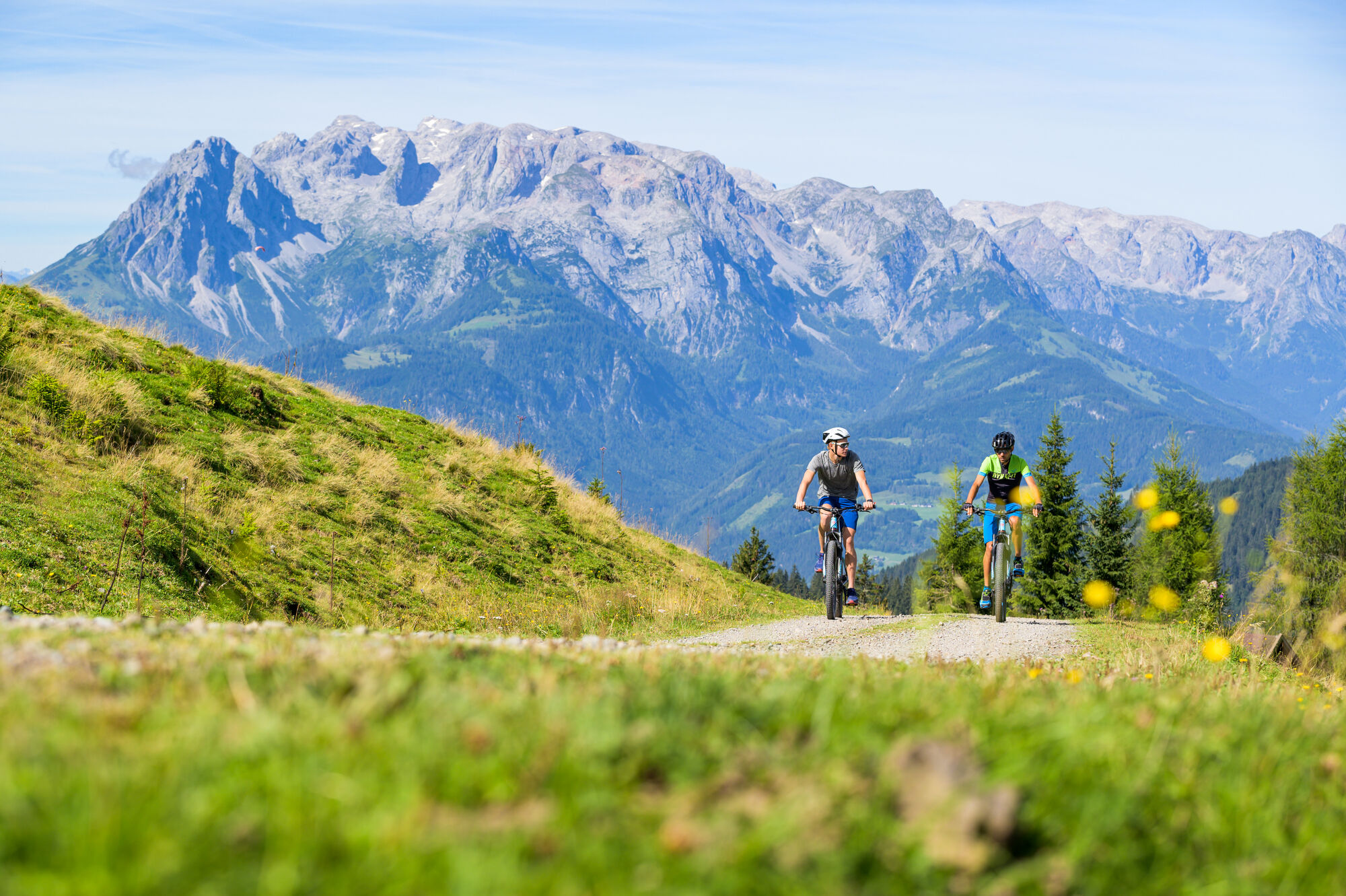
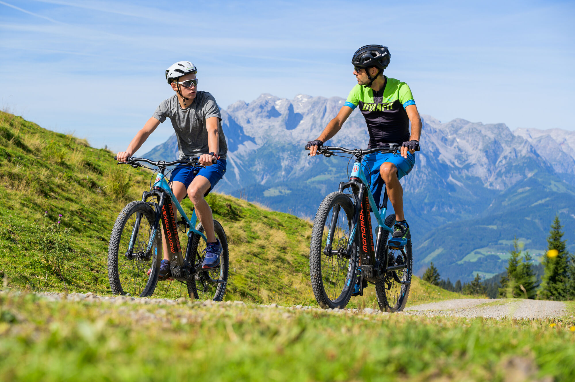
Werfenweng Mountainbikerunde Söldenhütte


Starting in the town center going in the direction of Zaglau. From the parking lot of the cable car, the trail leads past the Liftstüberl. After about 1 hour driving time we reach the Strussingalm (unmanaged)....
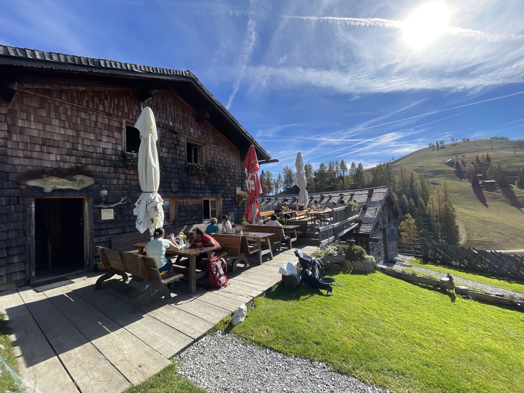
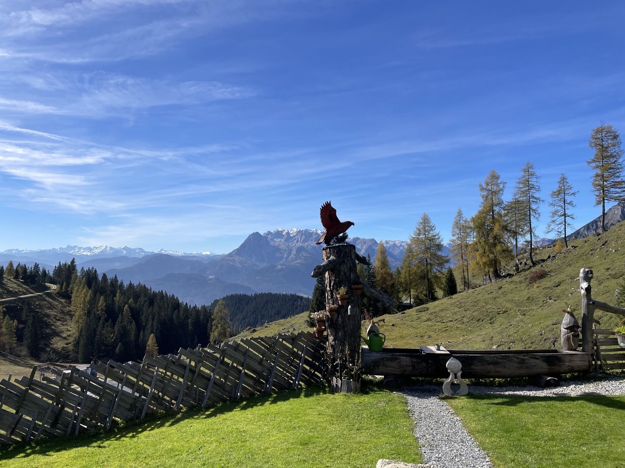
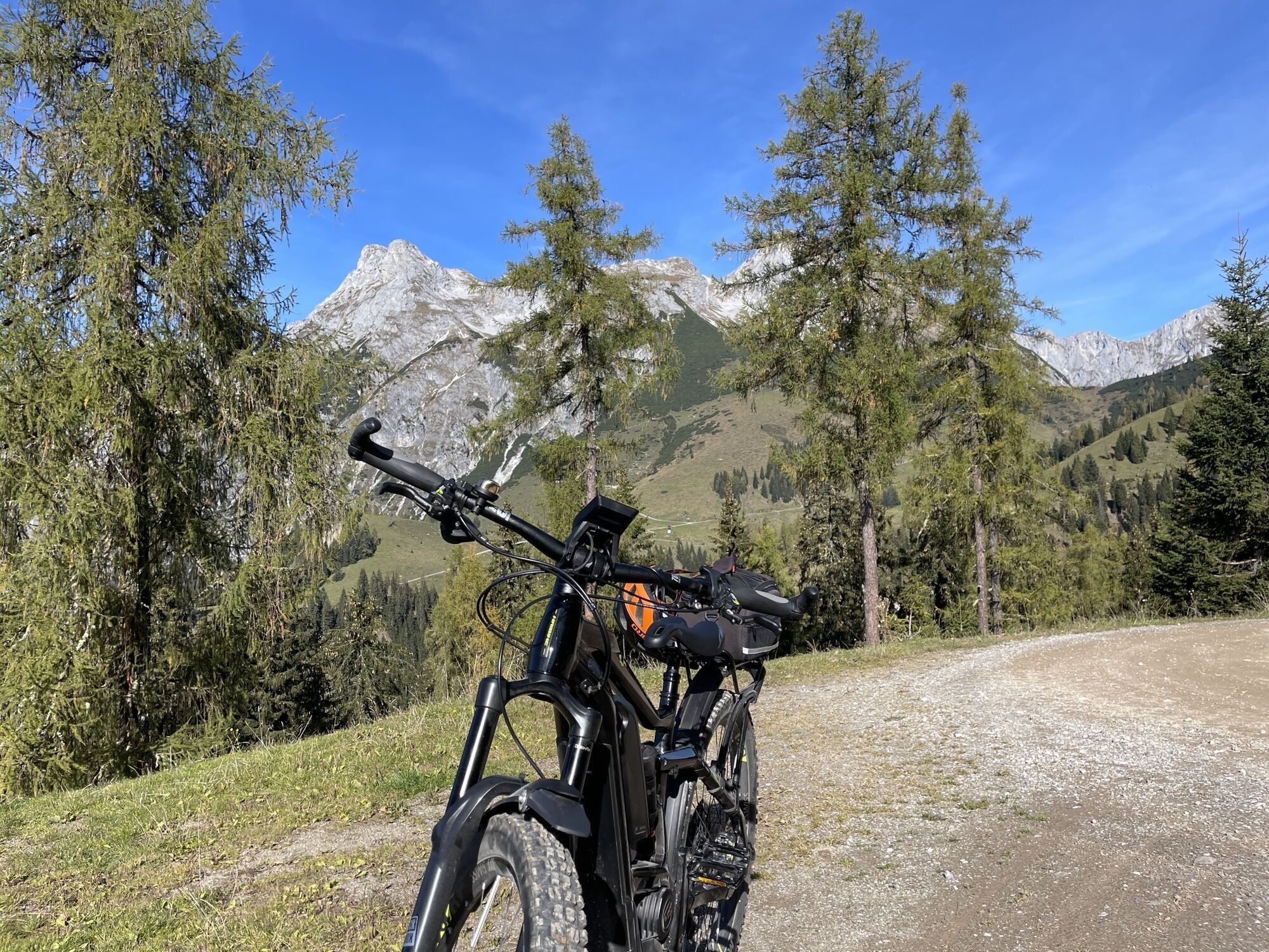
Starting in the town center going in the direction of Zaglau. From the parking lot of the cable car, the trail leads past the Liftstüberl. After about 1 hour driving time we reach the Strussingalm (unmanaged). From here we continue via Mayrhofalm to the Dr. Heinrich-Hackel-Hütte (round trip). The way back leads us via Strussingalm back to Zaglau and the town center.
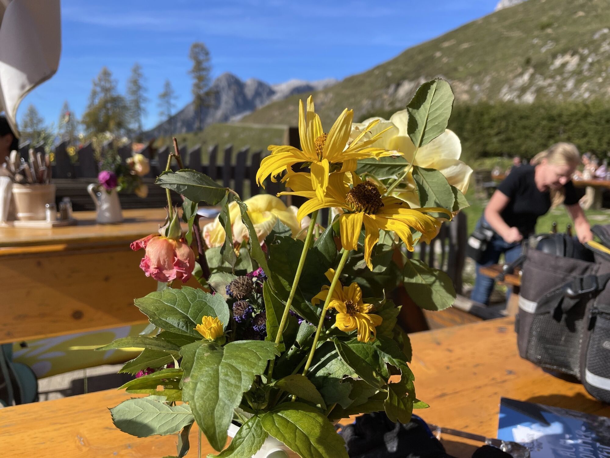
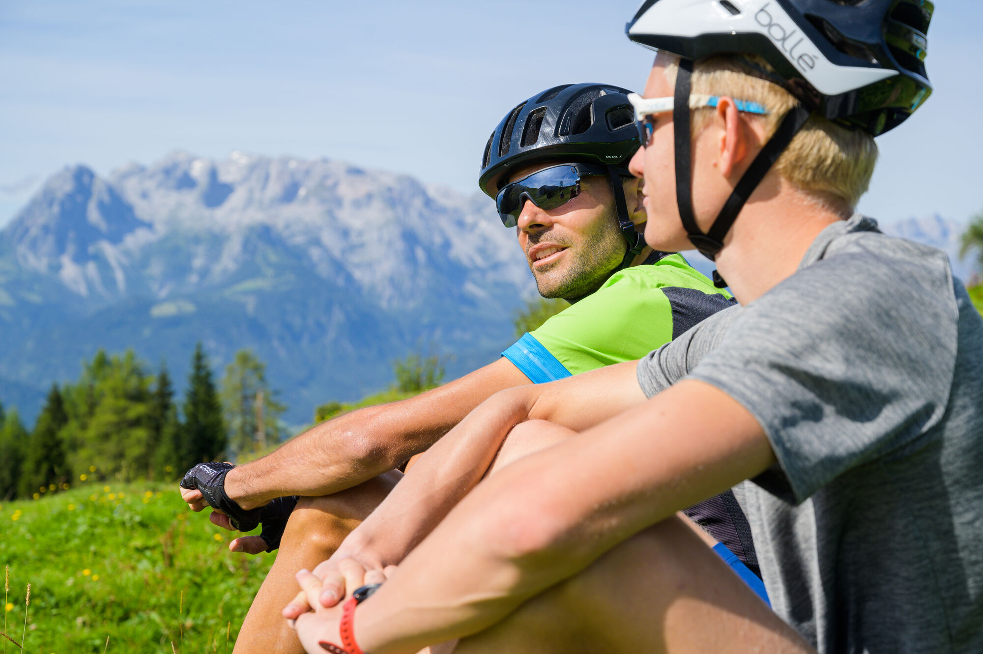
Breathtaking panorama- delicious regional hut delicacies
Please stay on the marked paths!
Dr. Heinrich-Hackel Hütte, Mayrhofalm
Oui
Oui
Train from Salzburg toWerfen, Pfarrwerfen or Bischofshofen and W³-Shuttle from train station to Werfenweng
Train from Salzburg to Werfen, Pfarrwerfen or Bischofshofen and W³-Shuttle from train station to Werfenweng
Werfenweng city center or parking lot at Bergbahnen Werfenweng
3/6
3/6
Webcams de la tournée
-
Bischling
-
feratel Panoramakamera
-
Talstation 8 EUB
-
Pfarrwerfen
-
feratel Panoramakamera
-
feratel Panoramakamera
-
feratel Panoramakamera
-
feratel Panoramakamera
-
feratel Panoramakamera
-
feratel Panoramakamera
-
feratel Panoramakamera
-
Bischling
-
Bischling
-
Bischling
-
Bischling
-
Bischling
-
Bischling
-
Bischling
-
Talstation 8 EUB
-
Talstation 8 EUB
-
Talstation 8 EUB
-
Talstation 8 EUB
-
Talstation 8 EUB
-
Talstation 8 EUB
-
Talstation 8 EUB
-
Hackelhütte
-
Pfarrwerfen, Eulersberg
-
Schnapfenriedl
-
Rosnerköpfl
-
Rosnerköpfl
-
Rosnerköpfl
-
Rosnerköpfl
-
Rosnerköpfl
-
Rosnerköpfl
-
Rosnerköpfl
-
Rosnerköpfl
Parcours populaires à proximité
-
4,8
Hochkönig - Gipfel der Gefühle - Matrashaus
difficileRandonnée 20,9 km -
3,7
Summit tour Hochkönig main route
difficileRandonnée 18,1 km -
4,6
Panorama Hiking Arthurhaus to Hochkeil
moyenRandonnée 6,07 km -
4,7
Mühlenweg und Winnerfall Scheffau am Tennengebirge
moyenRandonnée 4,79 km -
3,2
Wanderung zur Ostpreußenhütte in Werfen (1.630 m)
moyenRandonnée 11,2 km -
4,2
Wasserfallweg (UNESCO-Geopark Erz der Alpen)
facileChemin thématique 4 km -
3,0
Auf die Ostpreussenhütte
moyenRandonnée 16,6 km -
4,5
Wengerau - Tauernkogel - Eiskogel - Napf - Wengerau
moyenRandonnée d'altitude 15,5 km -
4,1
Heinrich Kiener Haus/Hochgründeck 1827m (453)
moyenRandonnée 12,6 km -
3,5
Mühlbach am Hochkönig - Hochkönig
difficileRandonnée 9,83 km

Randonnée et suivi


Ne manquez pas les offres et l'inspiration pour vos prochaines vacances
Votre adresse électronique a été ajouté à la liste de diffusion.