Lamprechtshöhle - Gasthaus zum Steinerwirt - Kreuzkirche Lofer - Gasthaus Lamprechtshöhle
facile
Naviguer
Naviguer
Télécharge cette visite sur ton portable
Lamprechtshöhle - Gasthaus zum Steinerwirt - Kreuzkirche Lofer - Gasthaus Lamprechtshöhle
facile
Vélo gravel
25,52
km
Scanner le code QR et commencer la navigation dans l'application bergfex


Randonnée & tracking





Lamprechtshöhle - Gasthaus zum Steinerwirt - Kreuzkirche Lofer - Gasthaus Lamprechtshöhle
facile
Distance
25,52
km
Durée
01:40
h
Ascension
253
m
Altitude
577 -
686
m
Téléchargement de la piste
Lamprechtshöhle - Gasthaus zum Steinerwirt - Kreuzkirche Lofer - Gasthaus Lamprechtshöhle
facile
Vélo gravel
25,52
km
Photos de nos utilisateurs
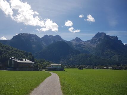
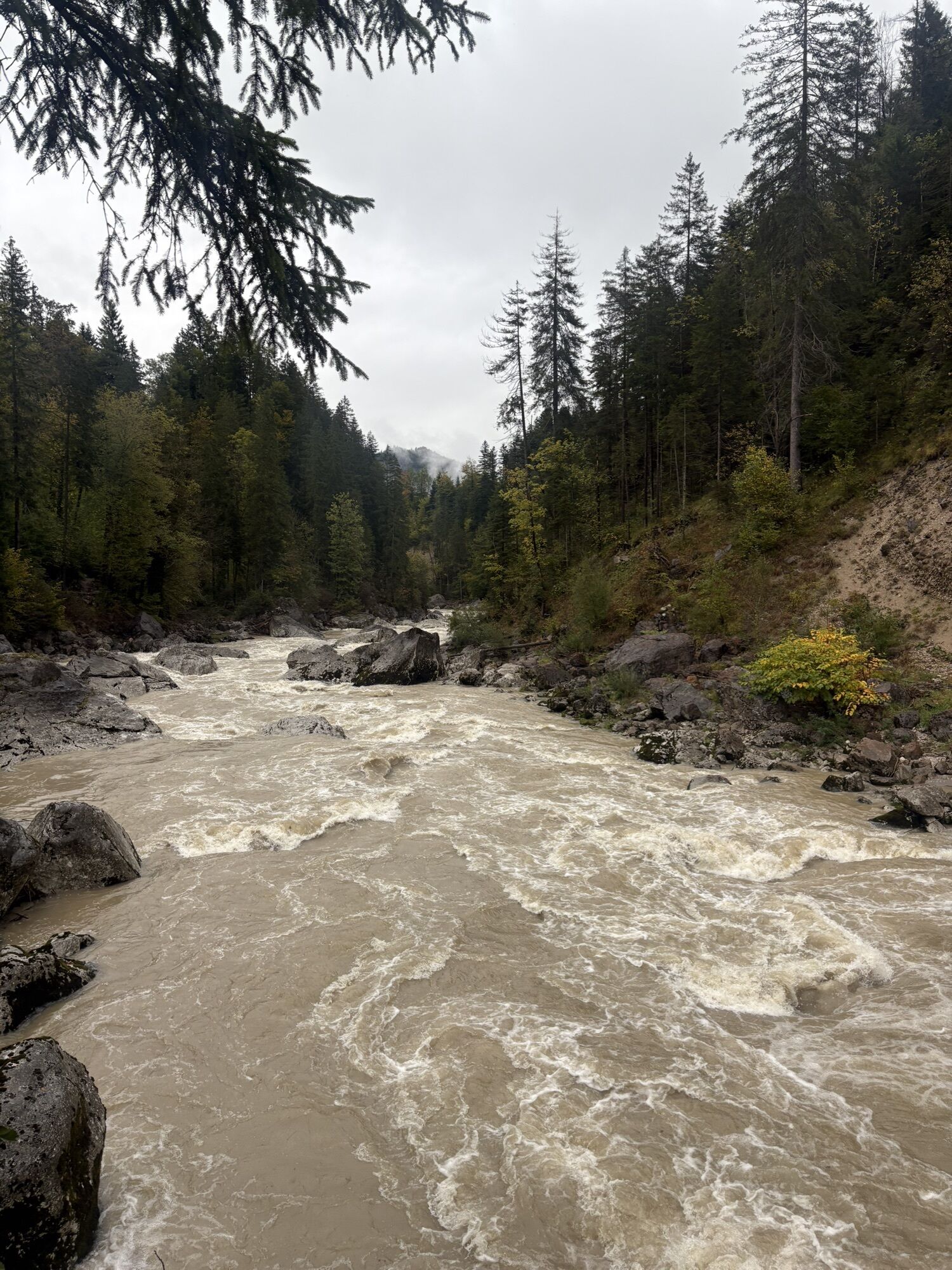
 © Simon BrummerCréé le 03.09.2025
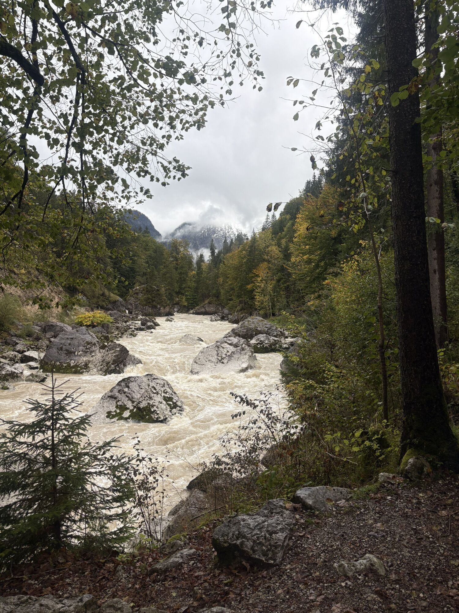
 © Matej Mikus 1Créé le 14.05.2025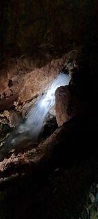
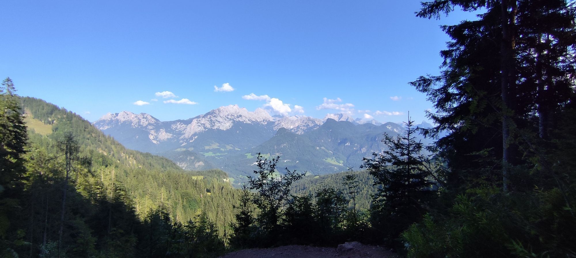
 © TanjasusannaCréé le 13.08.2023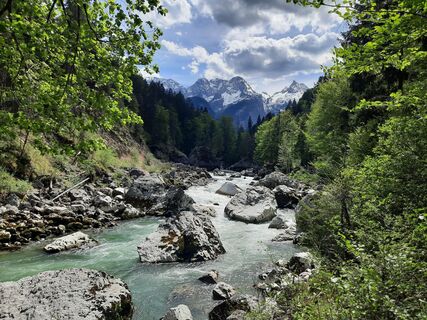
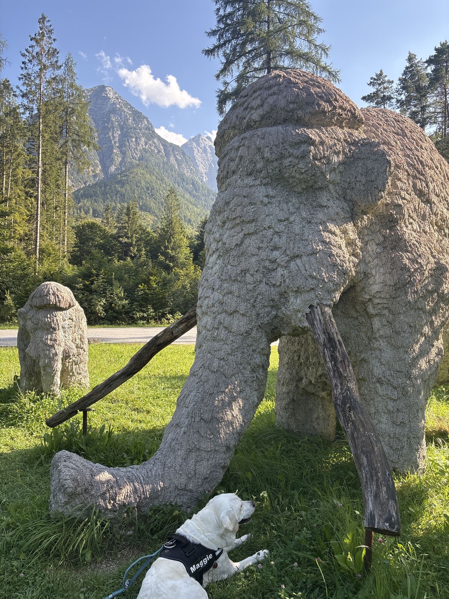
 © MayerCréé le 04.05.2026
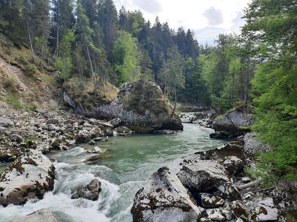 © MayerCréé le 04.05.2026
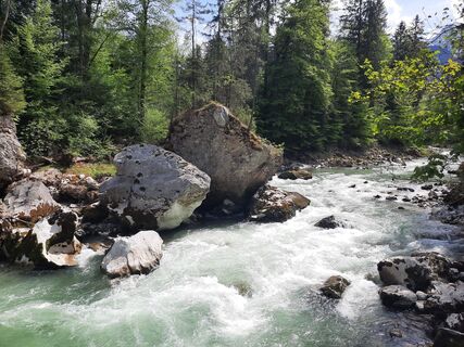 © MayerCréé le 04.05.2026
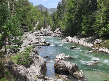 © MayerCréé le 04.05.2026
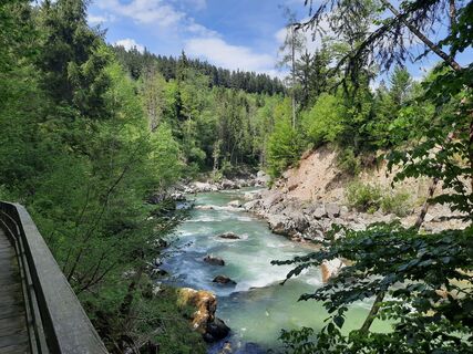 © MayerCréé le 04.05.2026
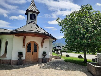 © MayerCréé le 04.05.2026
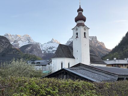 © oliverzCréé le 24.04.2026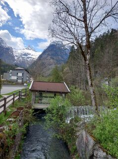
 © Tamás Kiss (Mr. Mojo)Créé le 18.04.2026
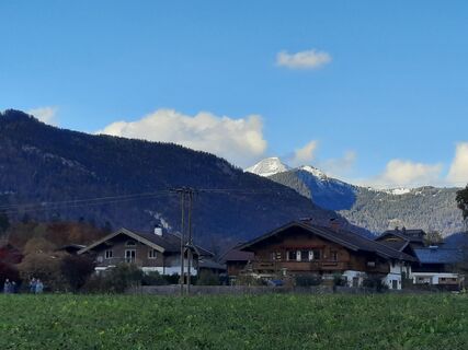 © MayerCréé le 26.10.2025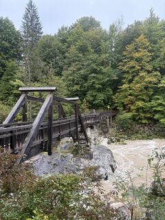
 © Peter De Smedt2Créé le 07.10.2025
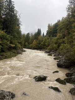 © Peter De Smedt2Créé le 07.10.2025
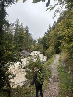 © Peter De Smedt2Créé le 07.10.2025
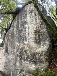 © Peter De Smedt2Créé le 07.10.2025
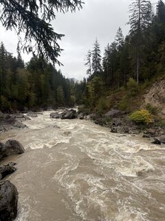 © Peter De Smedt2Créé le 07.10.2025
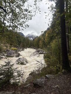 © Peter De Smedt2Créé le 07.10.2025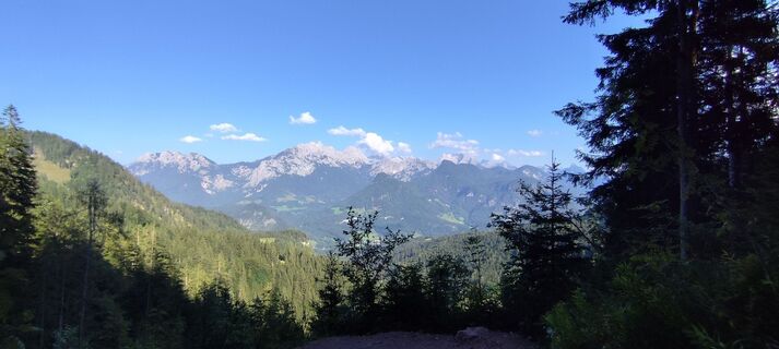
 © Levian Cassiel SzelagCréé le 19.08.2025
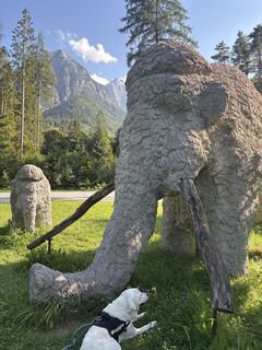 © Jack JansenCréé le 19.08.2025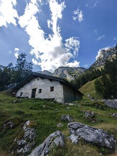
 © Christine ArnoldCréé le 19.08.2025
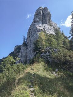 © Christine ArnoldCréé le 19.08.2025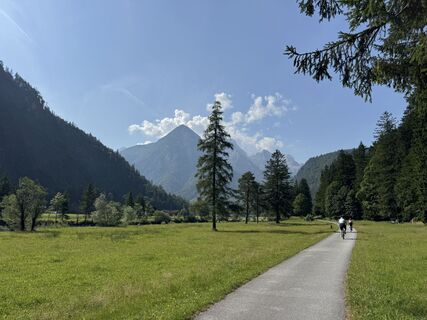
 © harteCréé le 15.08.2025
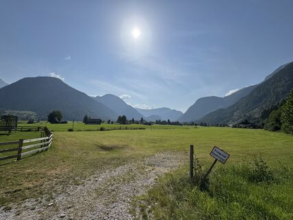 © harteCréé le 15.08.2025
 © Ralf HilprechtCréé le 15.07.2025
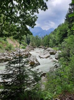 © Ralf HilprechtCréé le 14.07.2025
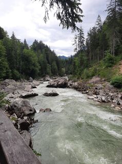 © Ralf HilprechtCréé le 14.07.2025
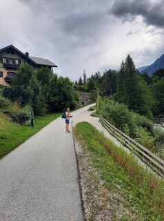 © Ralf HilprechtCréé le 14.07.2025
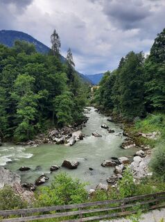 © Ralf HilprechtCréé le 14.07.2025
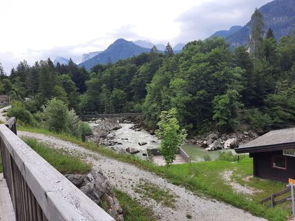 © Ralf HilprechtCréé le 14.07.2025
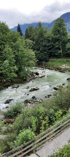 © Ralf HilprechtCréé le 08.07.2024
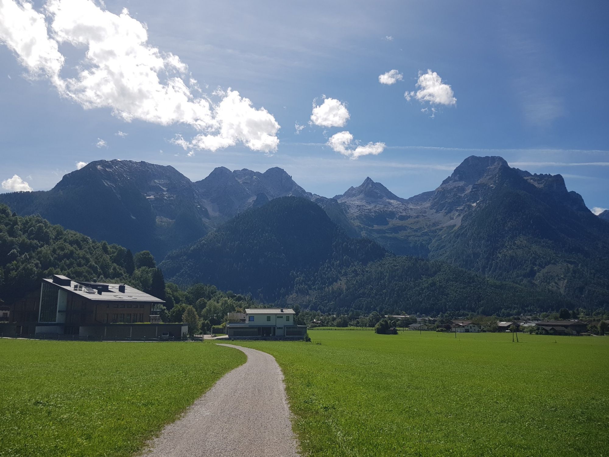

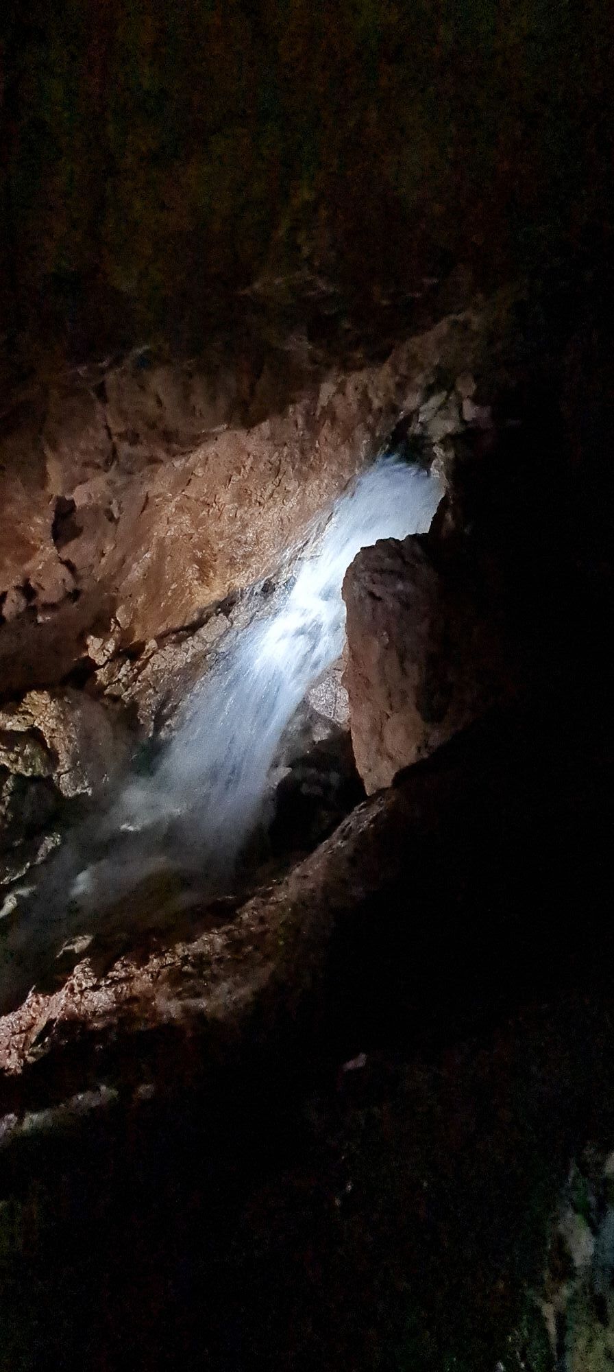
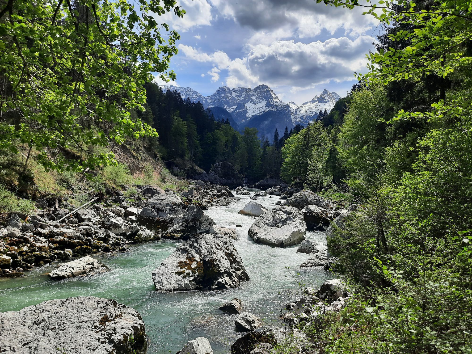
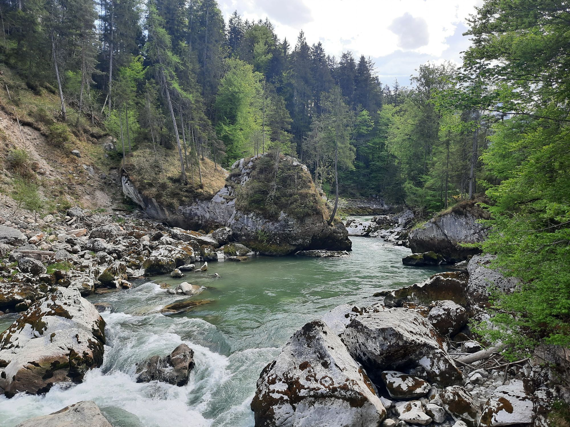
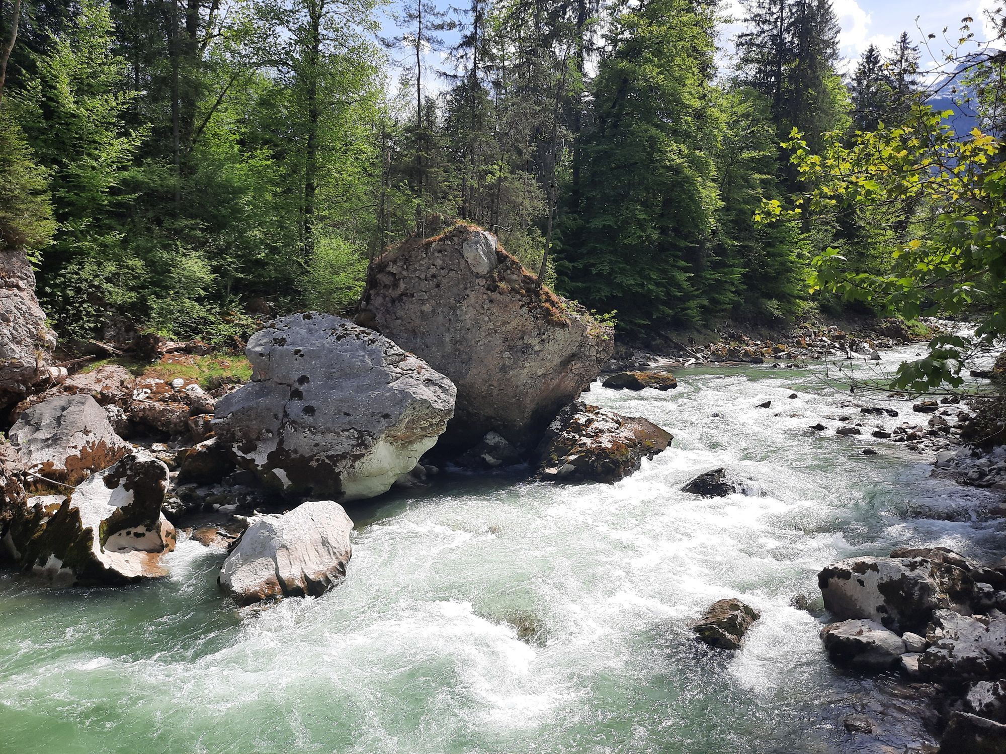
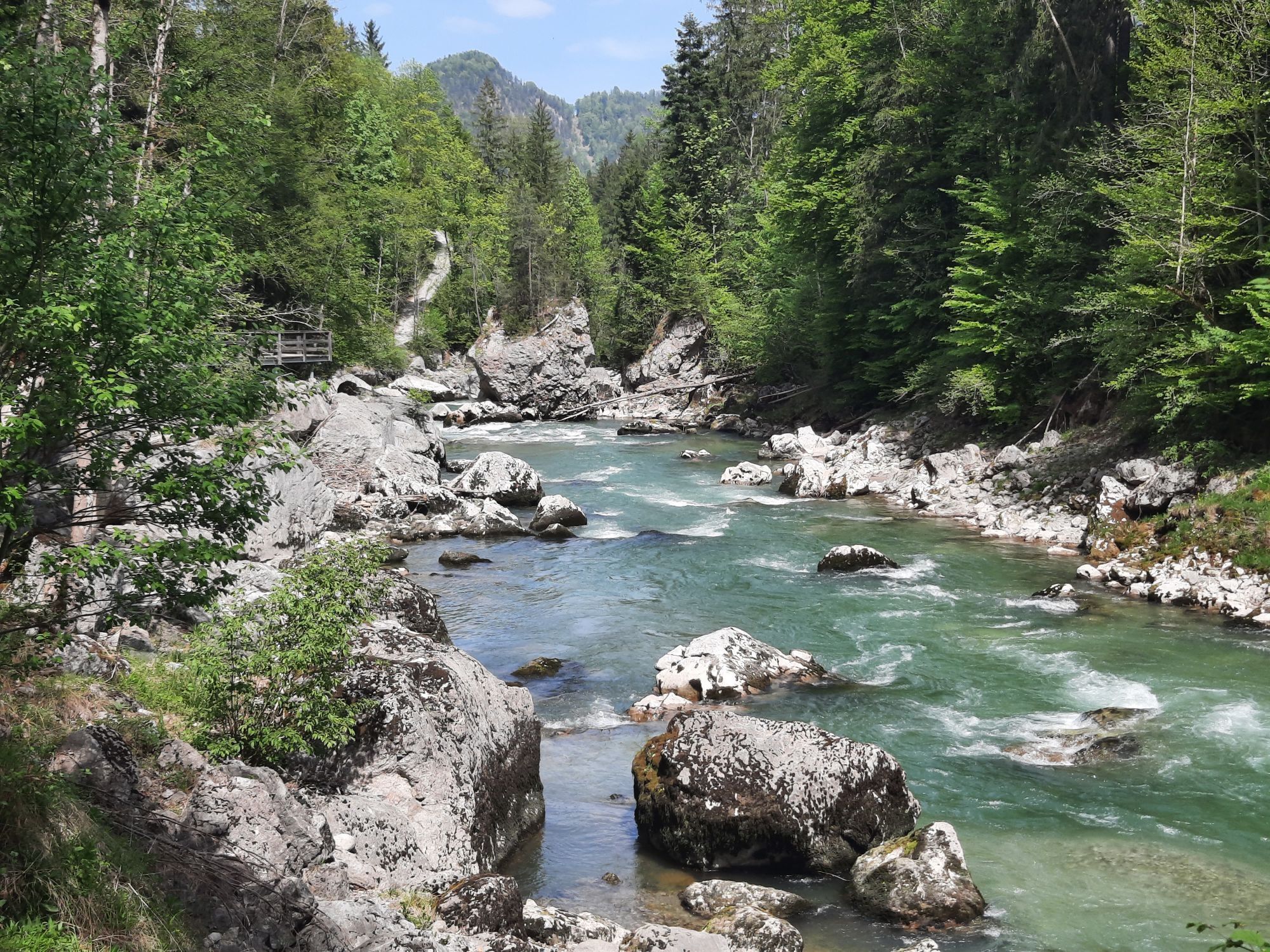
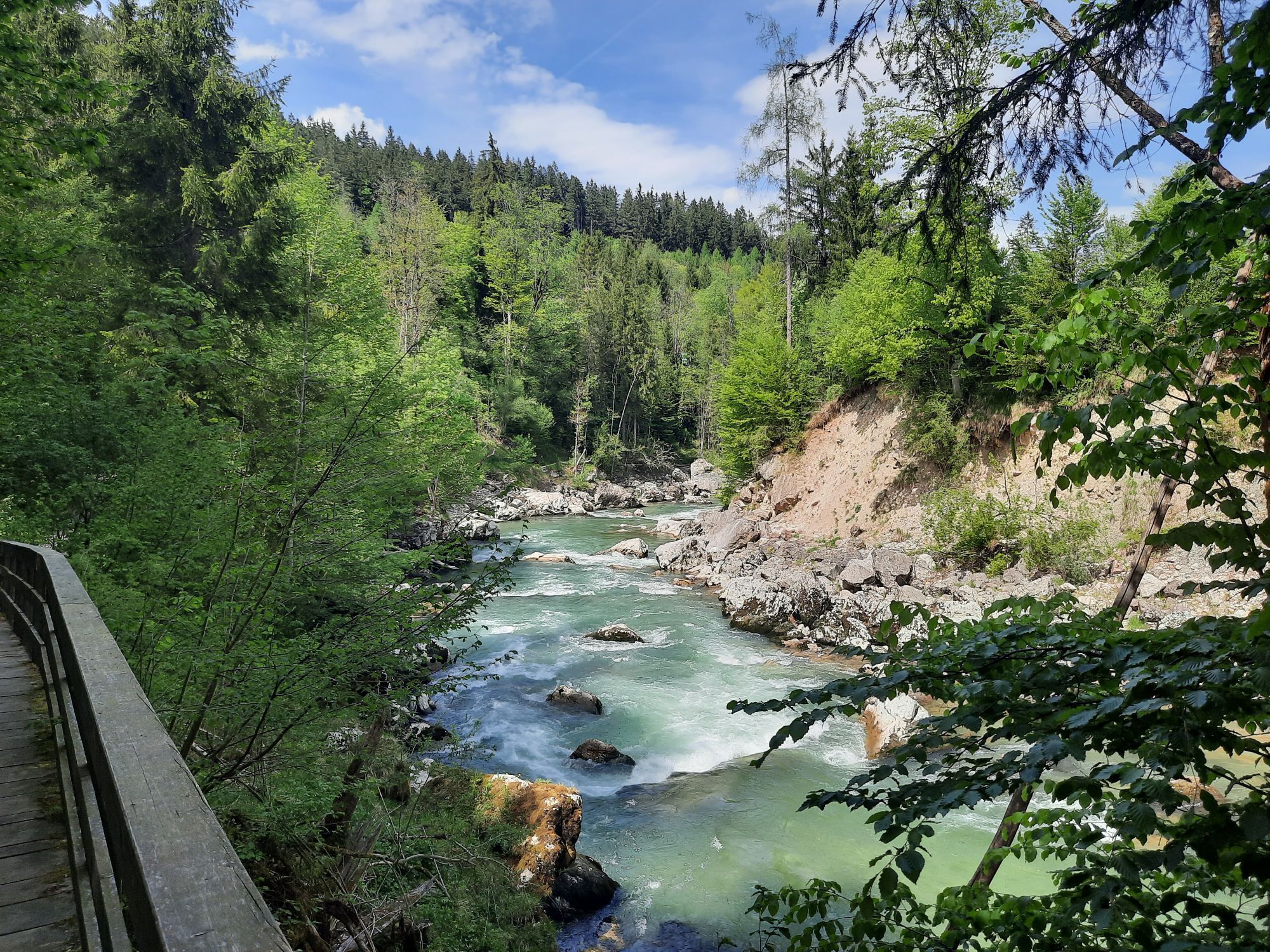
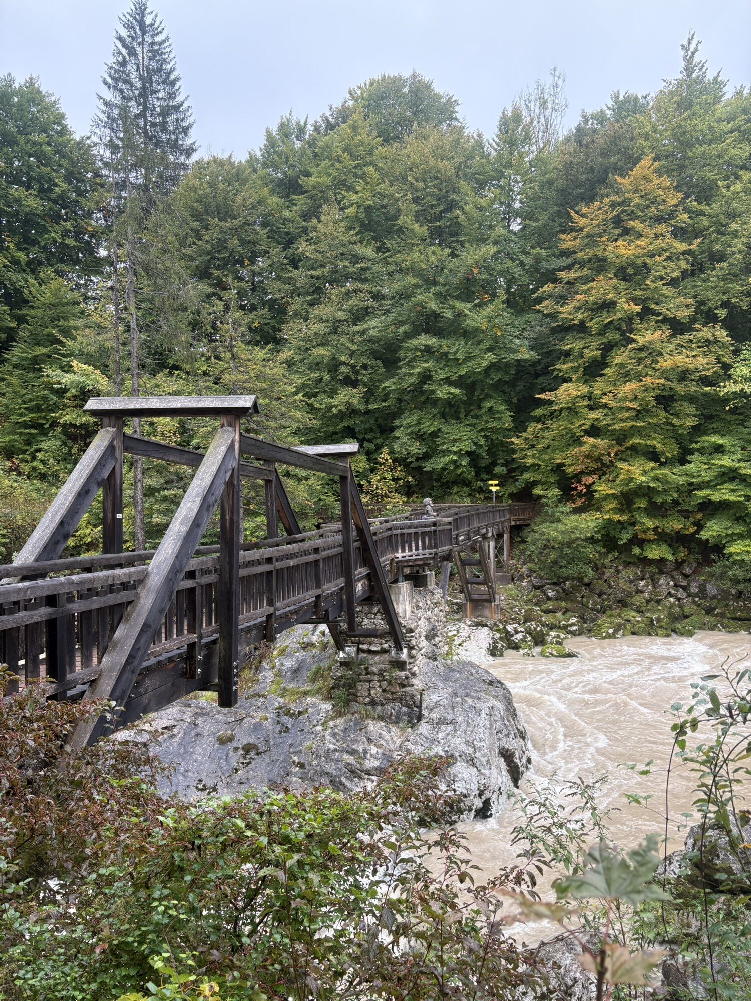
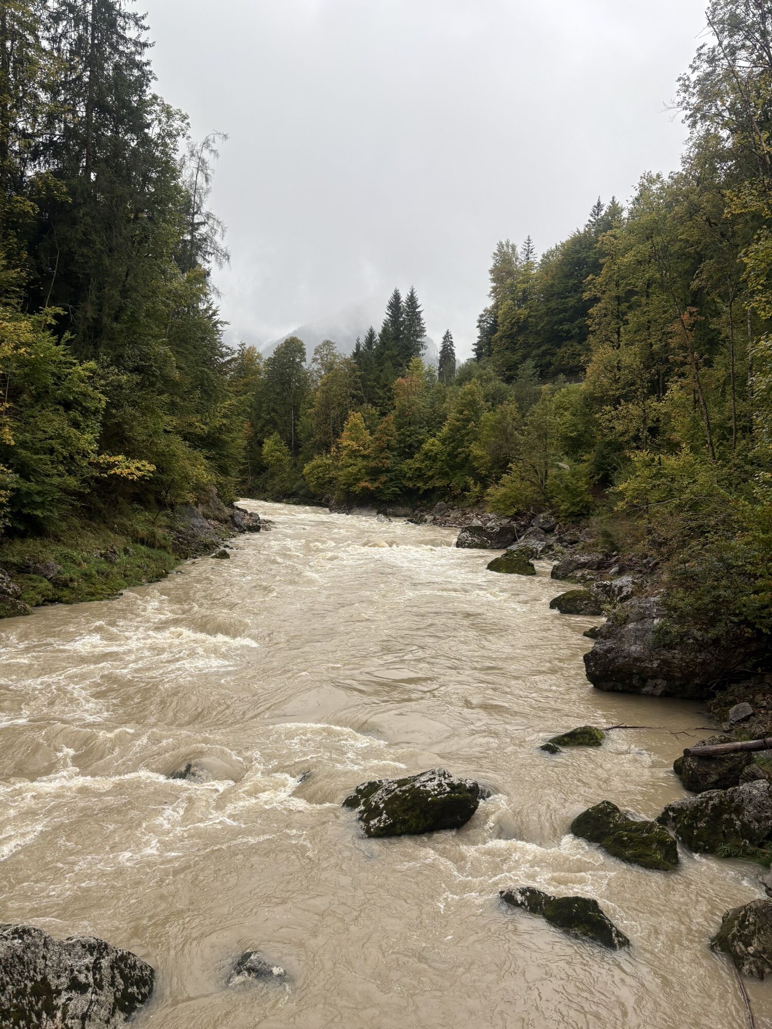
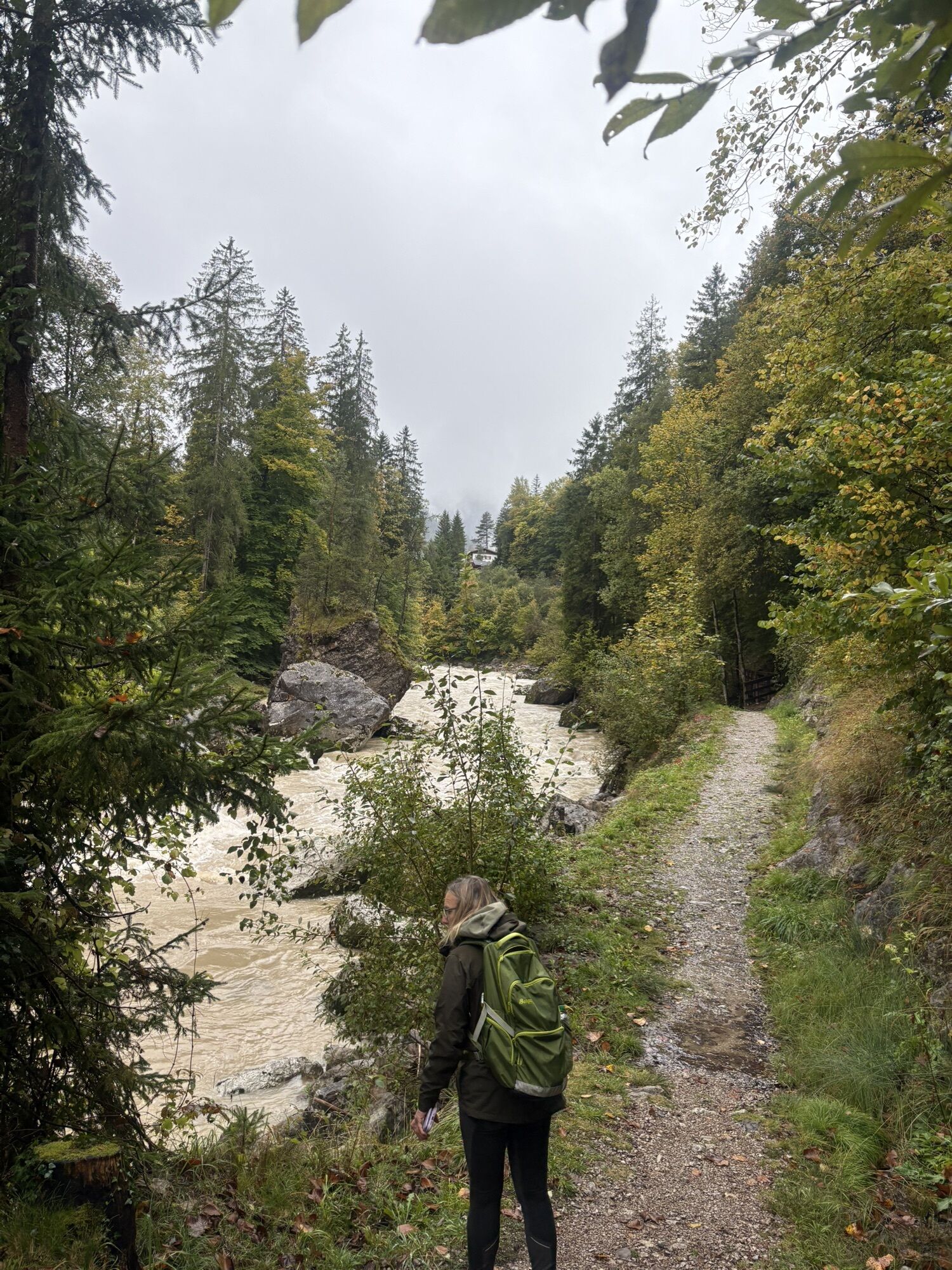
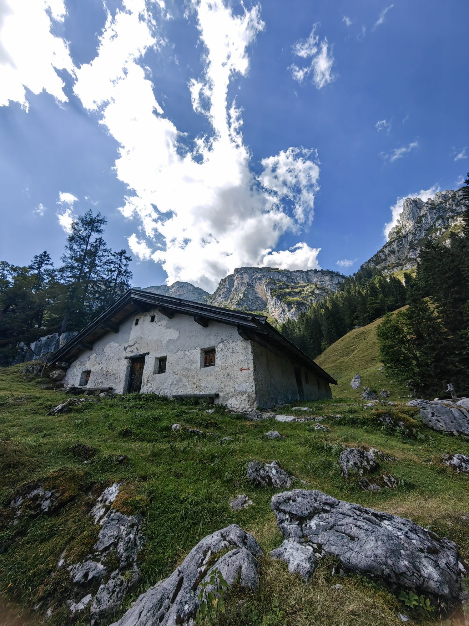
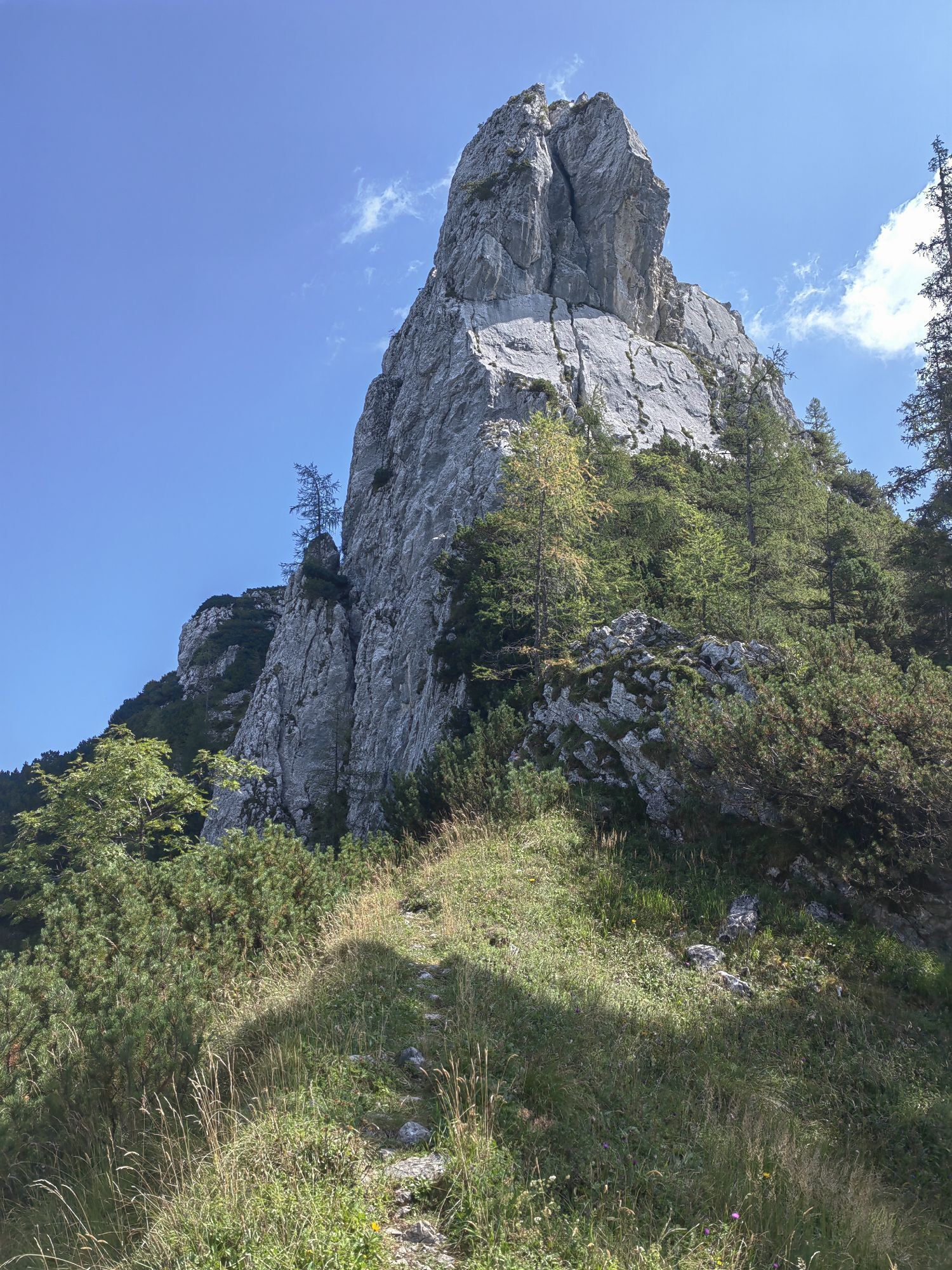
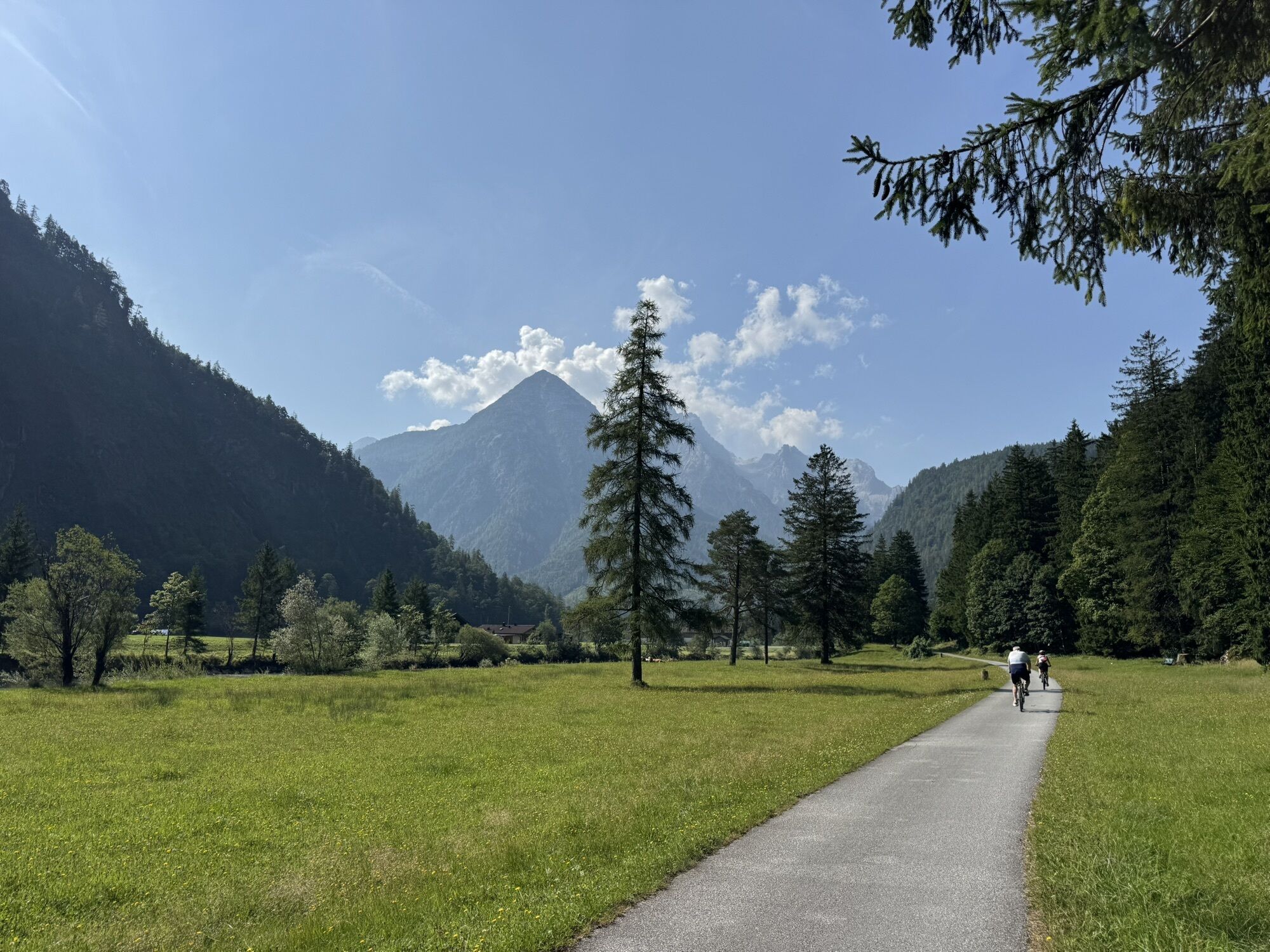
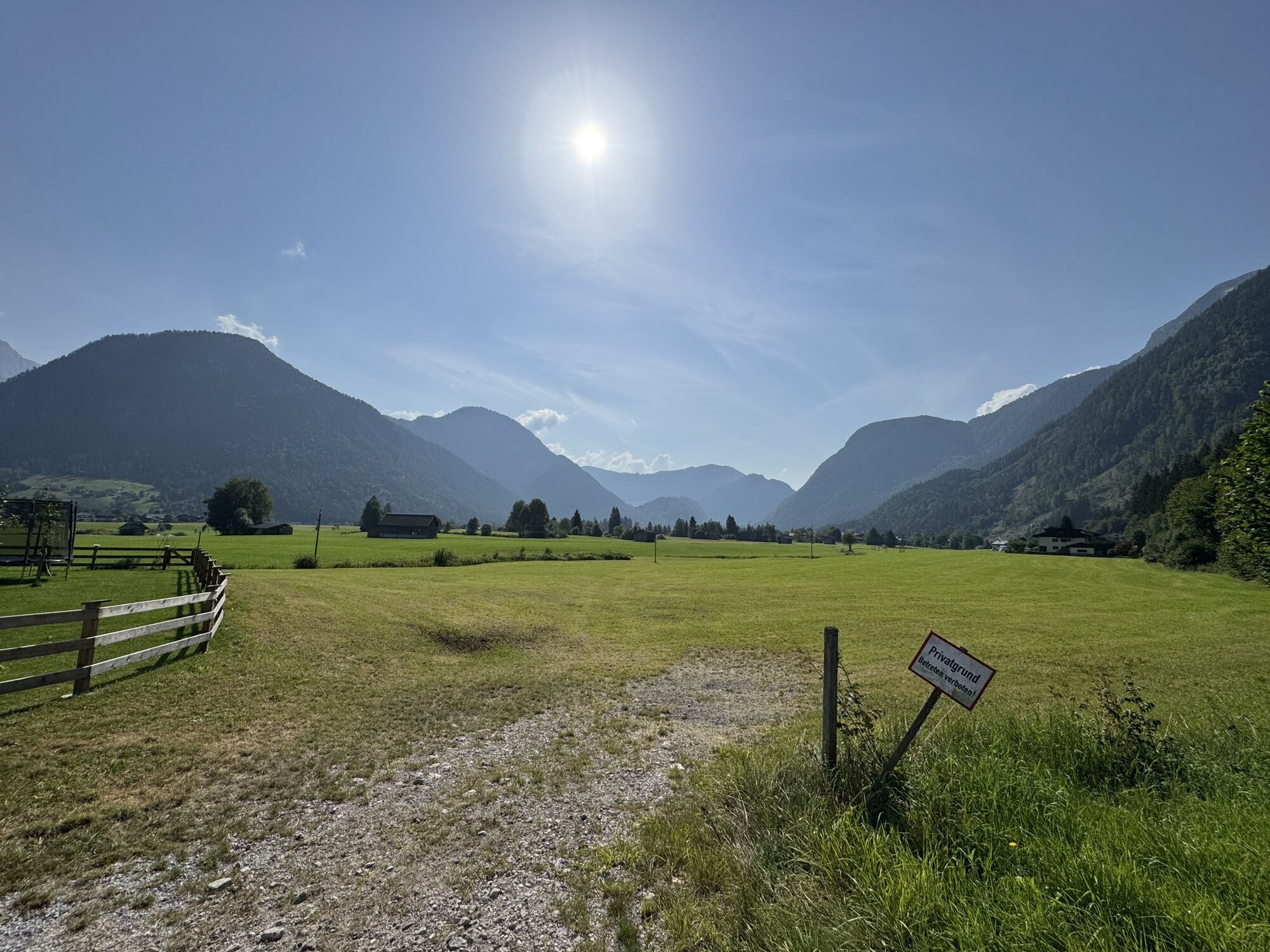
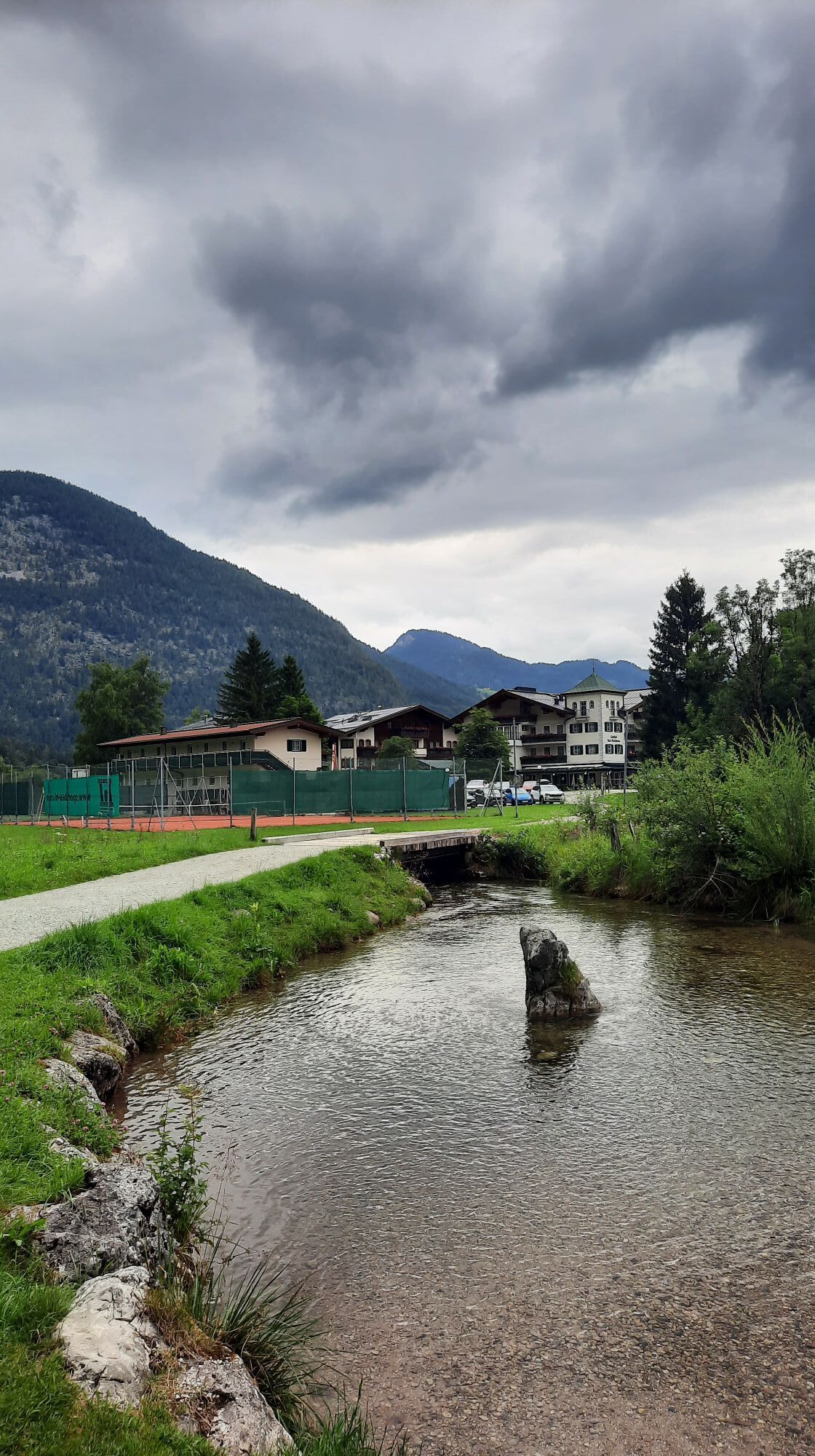
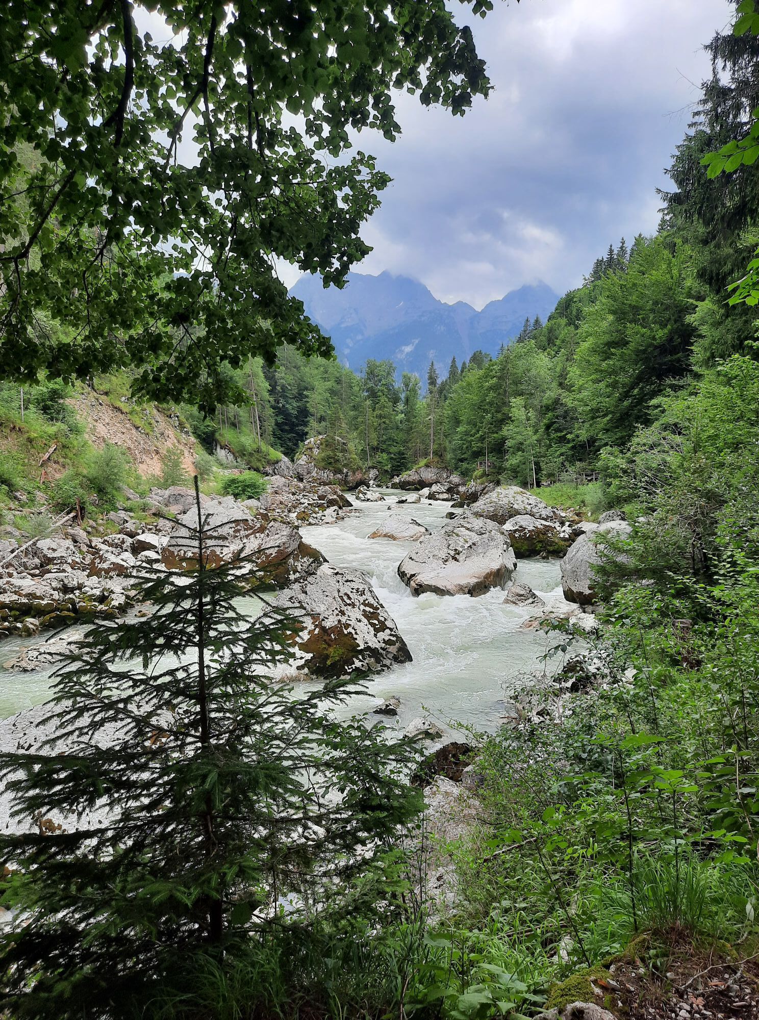
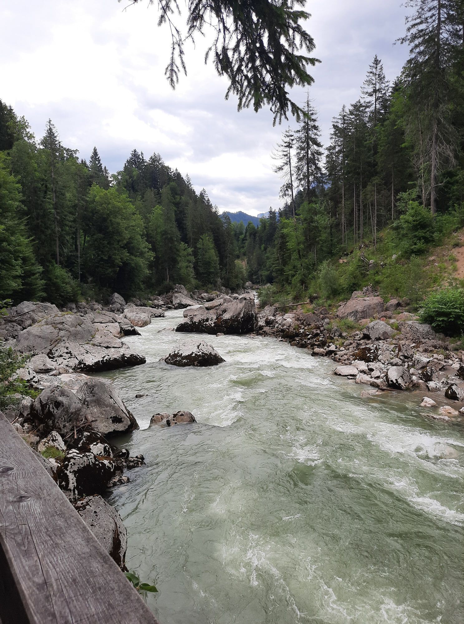
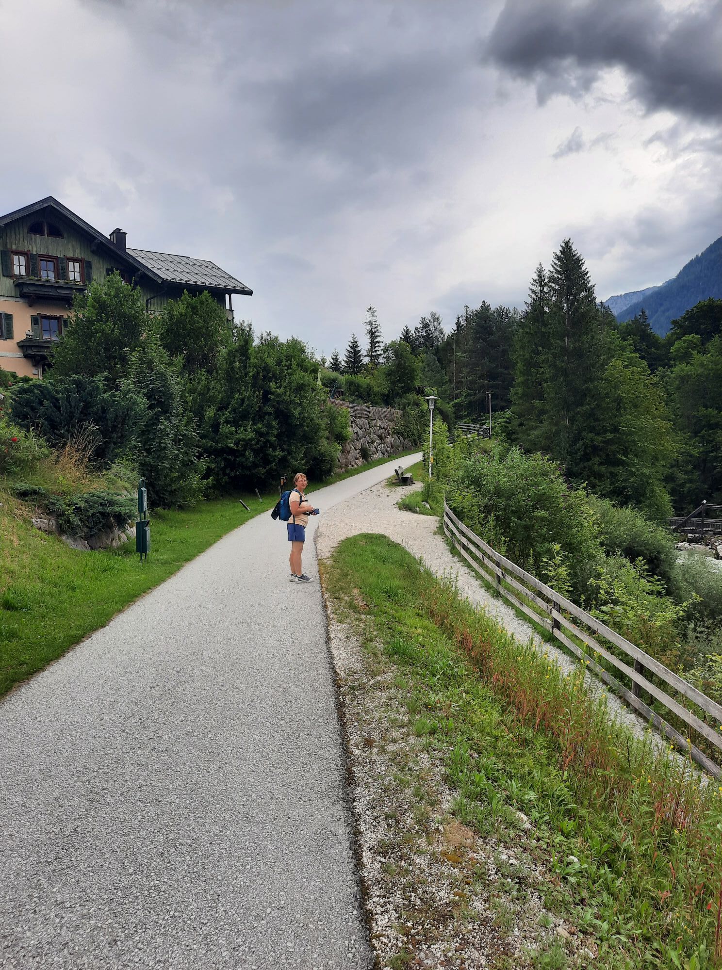
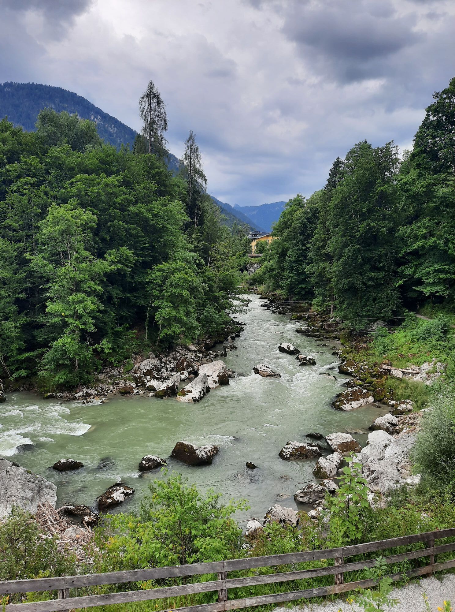
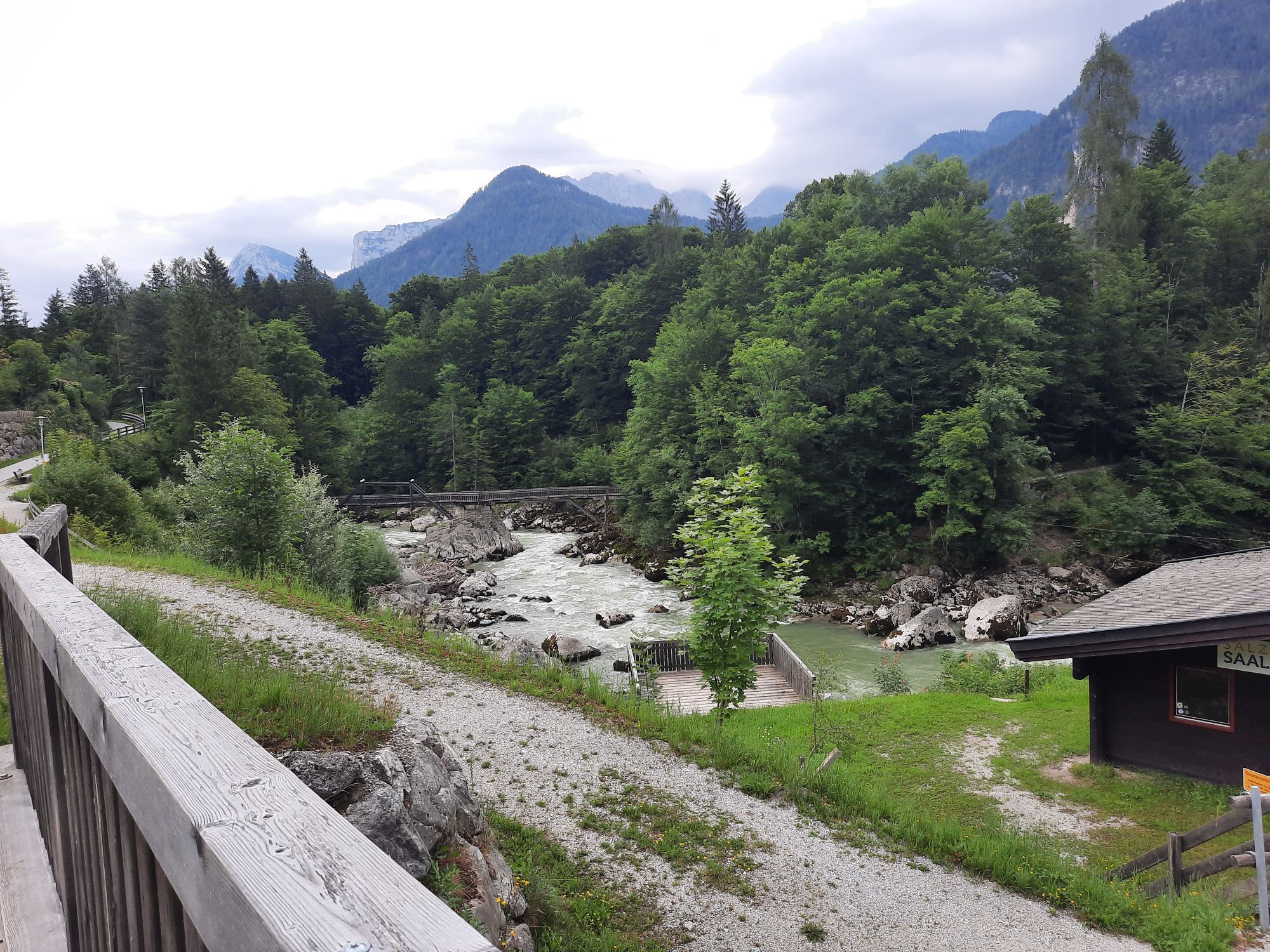
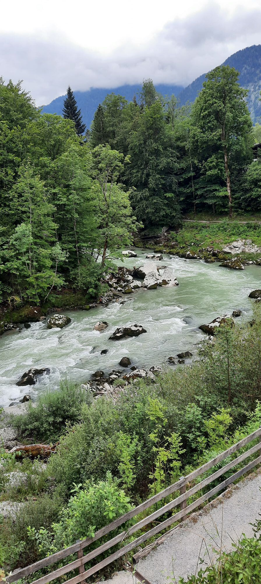
Parcours
Lamprechtshöhle
(667 m)
Entrée de la grotte
0,0 km
Obsthurn
(652 m)
Lotissement
4,0 km
Sankt Martin bei Lofer
(633 m)
Village
6,1 km
Pfarrkirche Hll Maria und Leonhard
(627 m)
Lieu de culte
9,5 km
Au
(611 m)
Lotissement
13,2 km
Pfarrkirche Hll Maria und Leonhard
(627 m)
Lieu de culte
16,4 km
Sankt Martin bei Lofer
(633 m)
Village
19,3 km
Parcours
Lamprechtshöhle - Gasthaus zum Steinerwirt - Kreuzkirche Lofer - Gasthaus Lamprechtshöhle
facile
Vélo gravel
25,52
km
Lamprechtshöhle
(667 m)
Entrée de la grotte
0,0 km
Gasthaus Lamprechtshöhle
(661 m)
Restaurant
0,0 km
Dürnberger
(661 m)
Lotissement
2,6 km
Obsthurn
(652 m)
Lotissement
4,0 km
Sankt Martin bei Lofer
(633 m)
Village
6,1 km
Gasthaus zum Steinerwirt
(633 m)
Restaurant
6,1 km
Gasthof zur Post
(632 m)
Restaurant
6,1 km
Ferienhotel & Restaurant Martinerhof
(632 m)
Restaurant
6,2 km
Gasthof zum Schweizer
(627 m)
Restaurant
9,1 km
Lofer
(625 m)
Village
9,5 km
Pfarrkirche Hll Maria und Leonhard
(627 m)
Lieu de culte
9,5 km
Scheffsnoth
(630 m)
Lotissement
11,0 km
Au
(611 m)
Lotissement
13,2 km
Maurach
(608 m)
Lotissement
14,2 km
Bairau
(624 m)
Lotissement
15,5 km
Saalachblick
(620 m)
Point de vue
16,0 km
Kreuzkirche Lofer
(627 m)
Lieu de culte
16,2 km
Lofer
(625 m)
Village
16,4 km
Pfarrkirche Hll Maria und Leonhard
(627 m)
Lieu de culte
16,4 km
Gumping
(626 m)
Lotissement
17,3 km
Ferienhotel & Restaurant Martinerhof
(632 m)
Restaurant
19,2 km
Gasthof zur Post
(632 m)
Restaurant
19,2 km
Sankt Martin bei Lofer
(633 m)
Village
19,3 km
Gasthaus zum Steinerwirt
(633 m)
Restaurant
19,3 km
Obsthurn
(652 m)
Lotissement
21,3 km
Dürnberger
(661 m)
Lotissement
22,8 km
Lamprechtshöhle
(667 m)
Entrée de la grotte
25,5 km
Gasthaus Lamprechtshöhle
(661 m)
Restaurant
25,5 km


Pas encore d'évaluation
Obtenez un aperçu Toujours en direct avec plus de 9.500 webcams. En tant qu'utilisateur Pro, vous pouvez désormais voir les webcams correspondantes à de nombreuses randonnées dans l'application de randonnées de bergfex. Vous pouvez ainsi voir directement les conditions actuelles.Parcours populaires à proximité
- 4,4
Wimbachgrieshütte
Randonnée 8,30 km - 4,2
Halsalm
Randonnée 6,43 km - 4,9
Ramsau/Hintersee-Runde
facileRandonnée 9,44 km - 4,8
Loferer Steinberge, zum Hinterhorn über die Schmid-Zabierow Hütte, 19.06.22
difficileRandonnée 14,0 km - 4,1
Passauer Hütte
difficileRandonnée 4,14 km - 4,4
Birnbachloch
moyenRandonnée 6,40 km - 4,5
Birnbachloch Leogang, Österreich
moyenRandonnée 5,18 km - 4,5
Rundweg vom Hintersee zur Halsalm
moyenRandonnée 9,53 km - 4,8
Atemberaubende Aussicht auf dem Dürrnbachhorn
moyenRandonnée 8,44 km - 4,7
Par le chemin des cascades dans l’Almenwelt Lofer
moyenRandonnée 3,29 km

Randonnée et suivi

Plus de 550.000 propositions de circuits, des cartes détaillées et un planificateur d'itinéraire intuitif font de cette application un must pour tous les passionnés de nature.

Ne manquez pas les offres et l'inspiration pour vos prochaines vacances
S'inscrire à la newsletter
Erreur
Une erreur s'est produite. Veuillez réessayer.Merci pour votre inscription
Votre adresse électronique a été ajouté à la liste de diffusion.
Parcours en Europe
Autriche Suisse Allemagne Italie Slovénie France Pays-Bas Belgique Pologne Liechtenstein République tchèque Slovaquie Espagne Croatie Bosnie-Herzégovine Luxembourg Andorre Portugal Islande Royaume-Uni Irlande Grèce Albanie Macédoine du Nord Malte Norvège Monténégro Moldavie Kosovo Hongrie Saint-Marin Roumanie Estonie Lettonie Bélarus Chypre Lituanie Serbie Bulgarie Monaco Danemark Suède Finlande





