







On the Pfaffenstein with Needle Eye & Sacrificial Cauldron
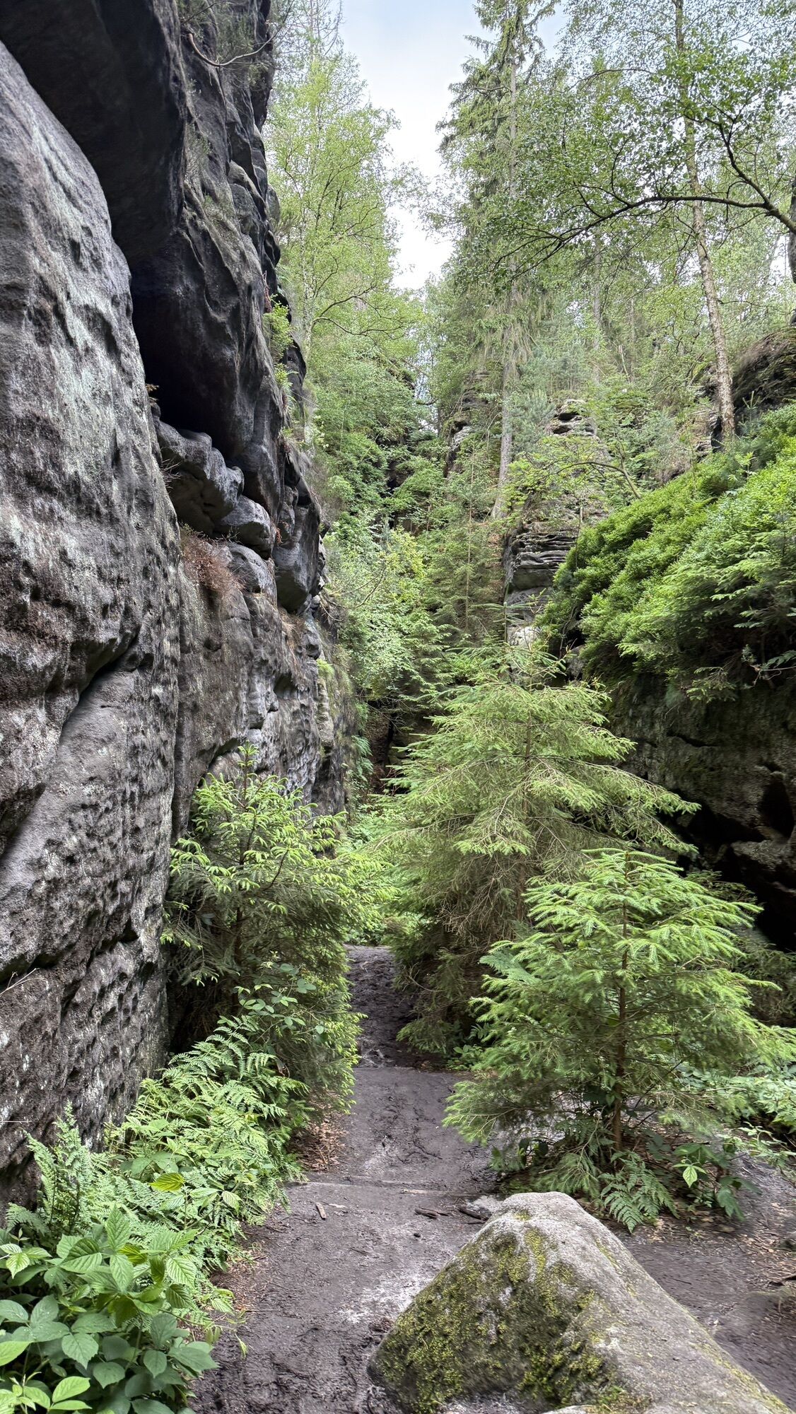
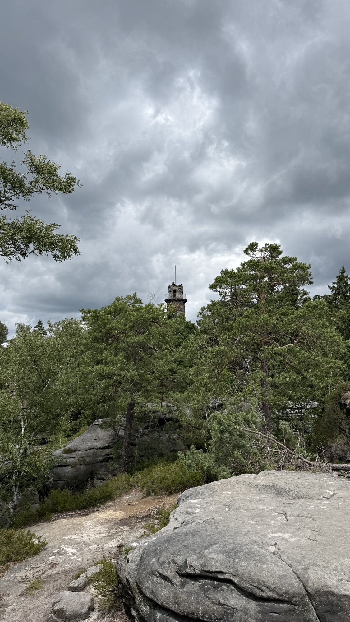
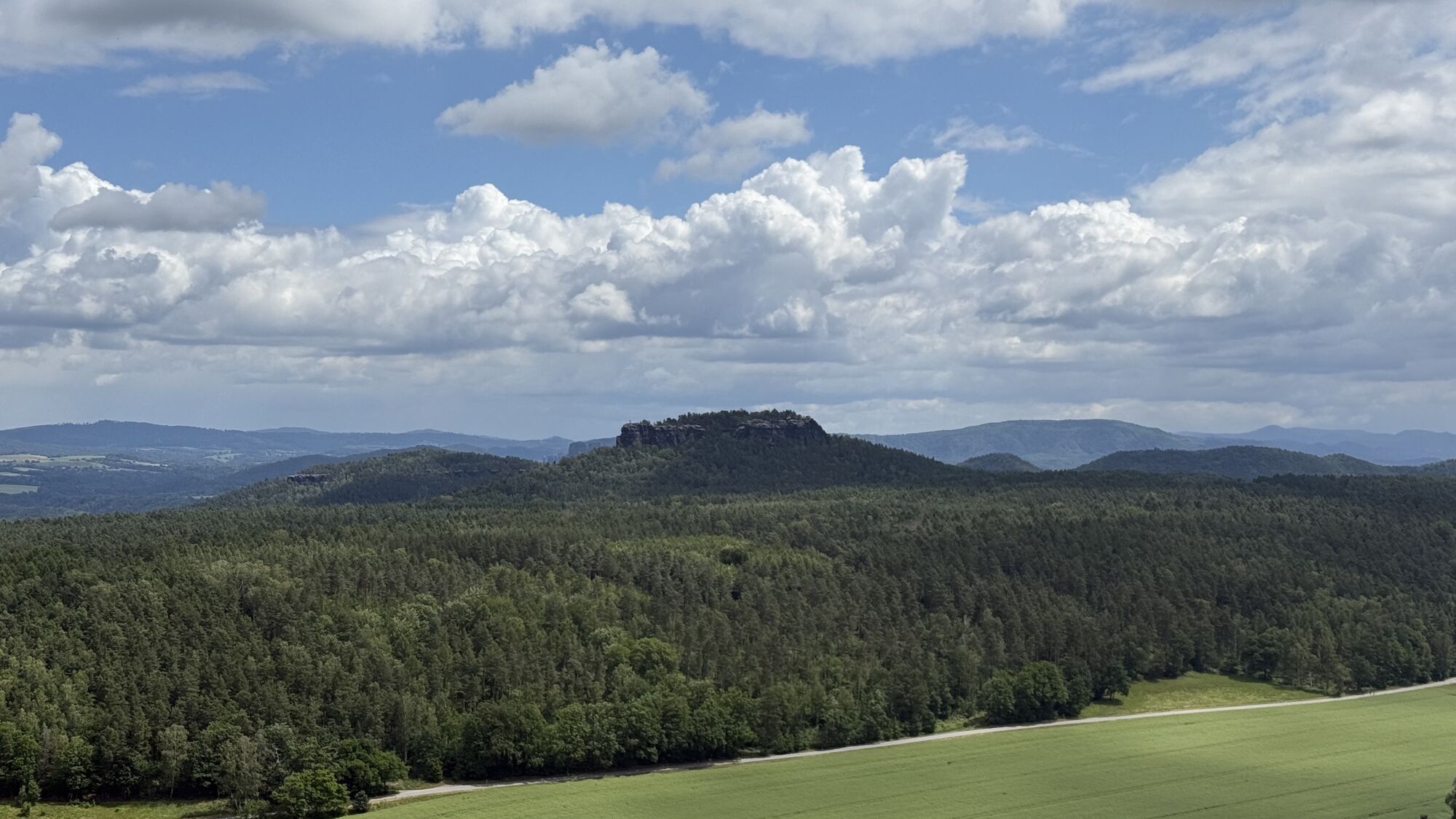
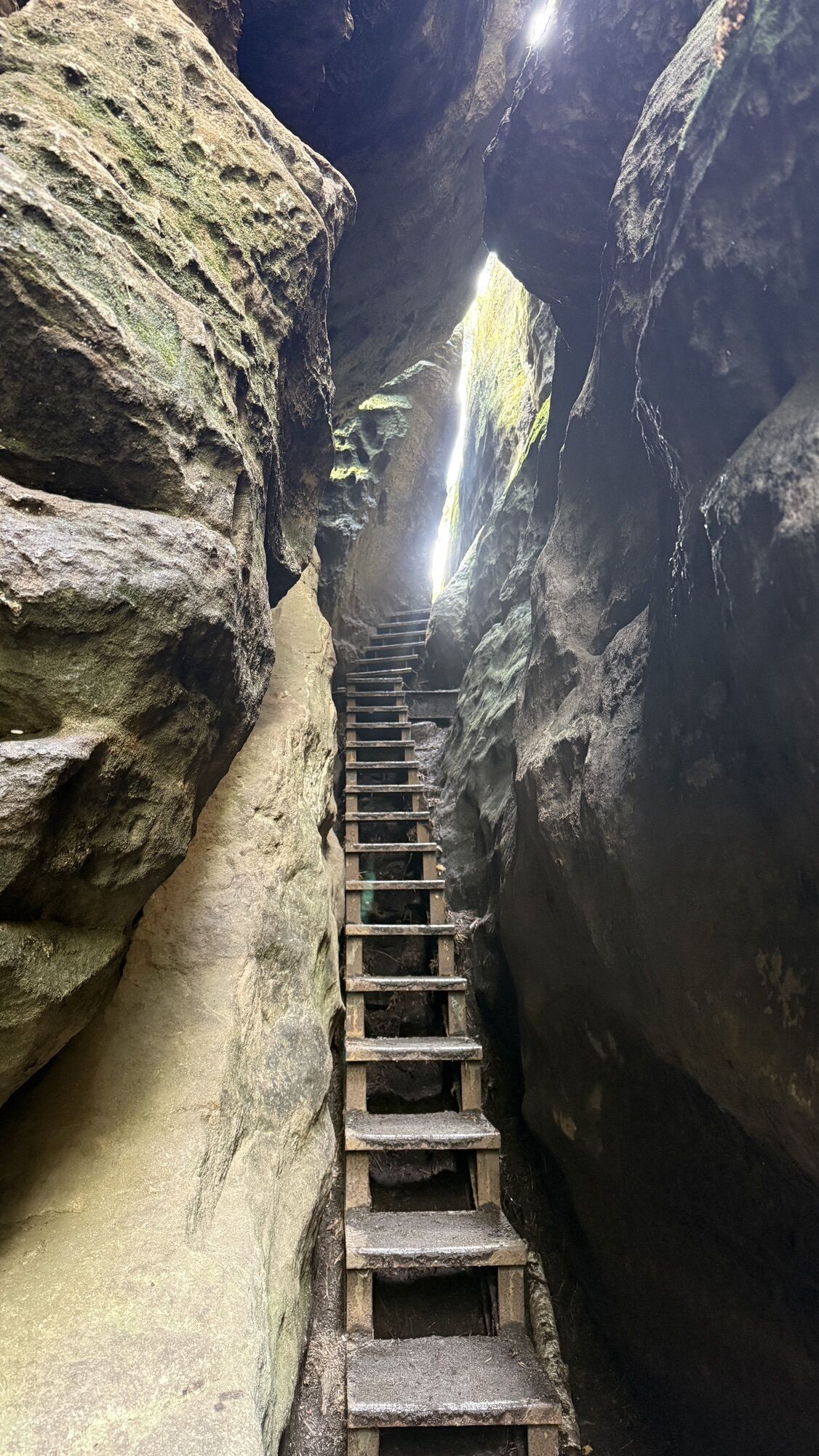
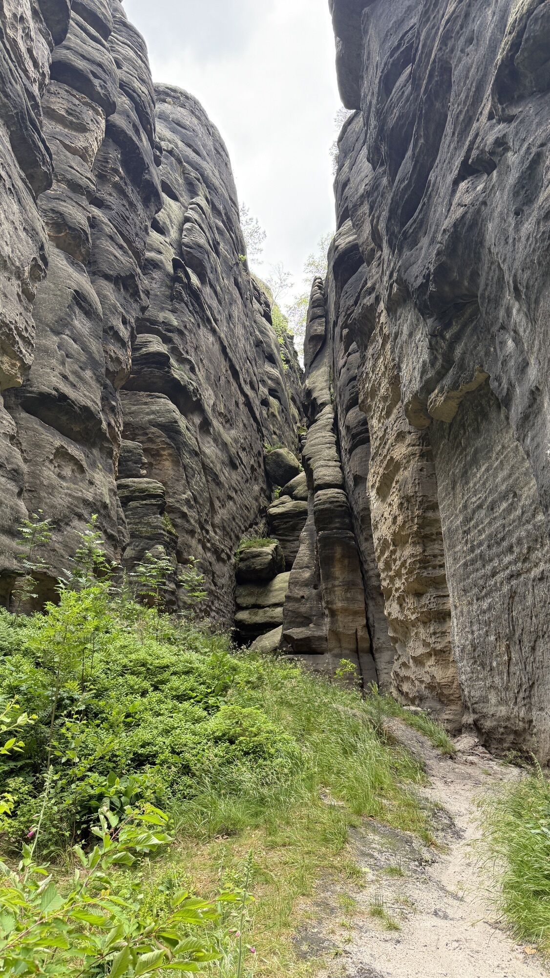
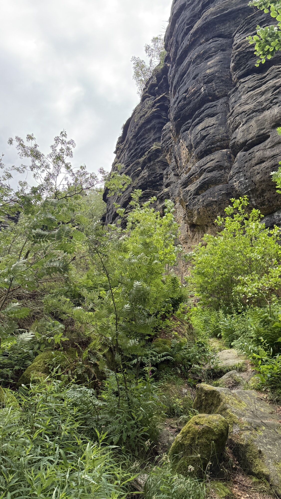
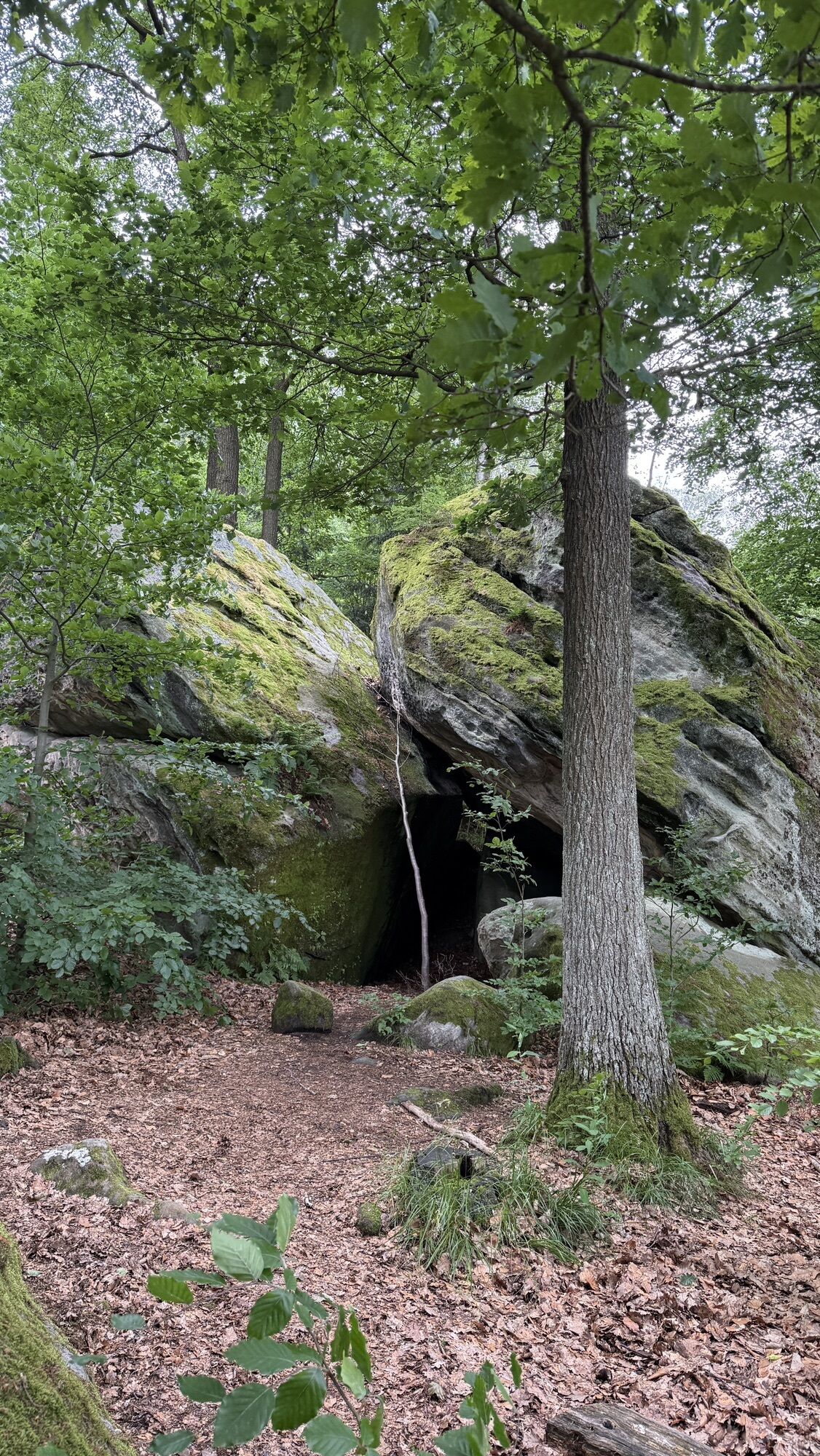
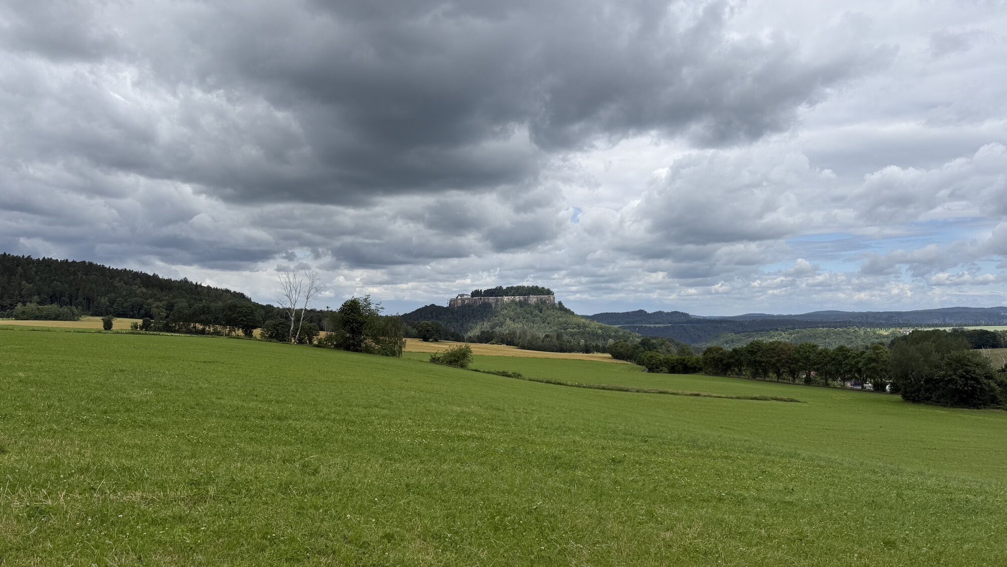
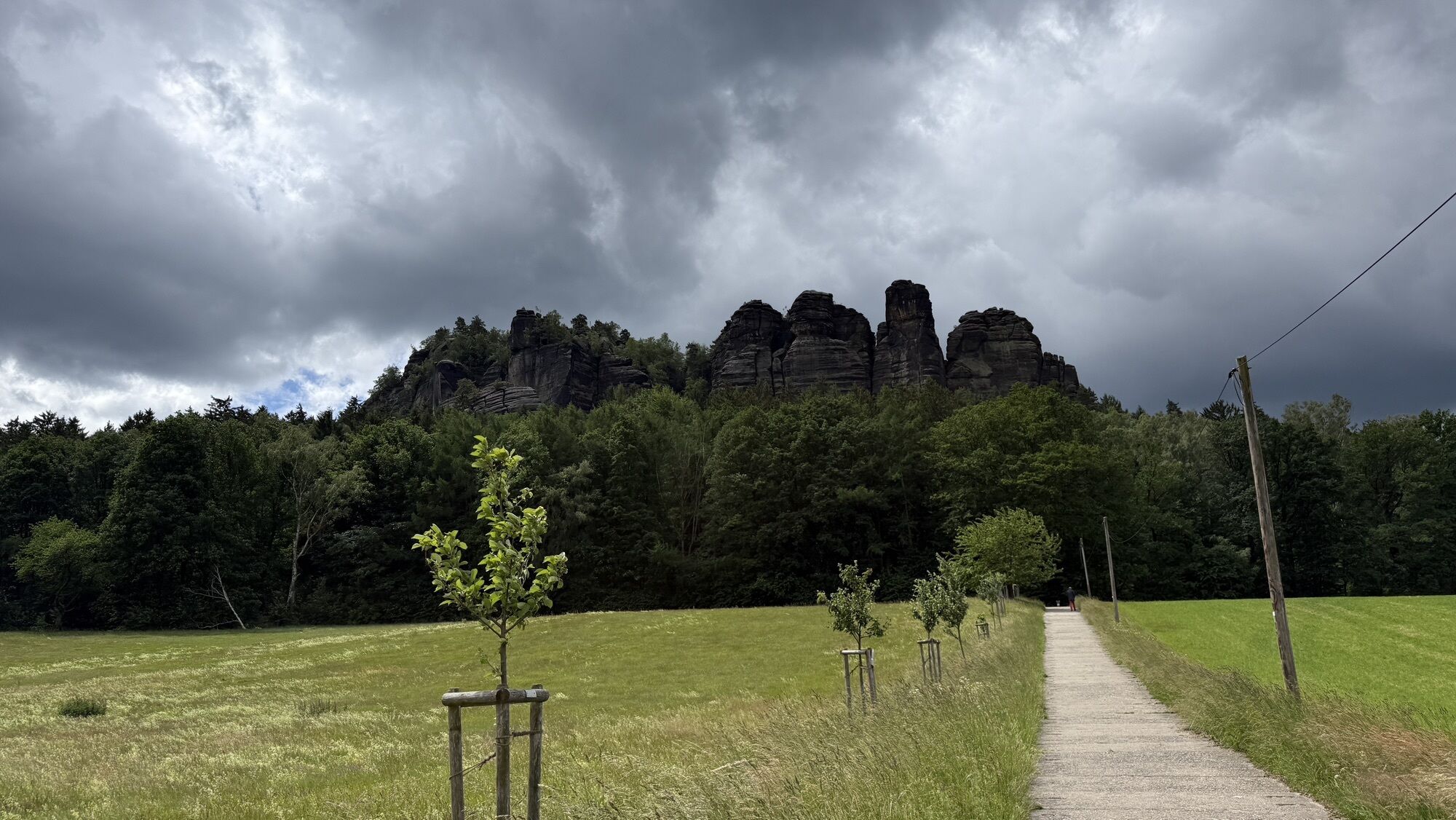
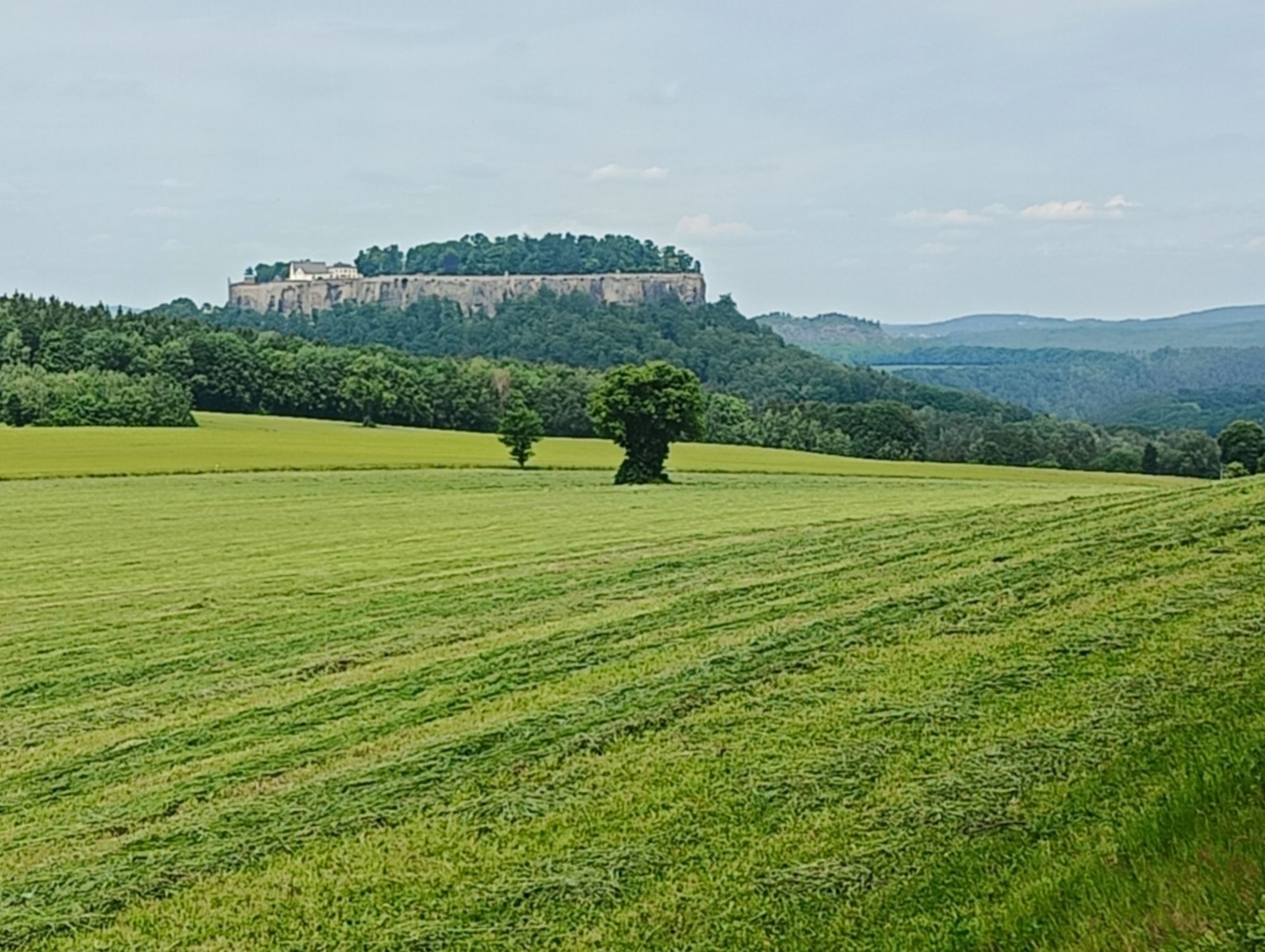
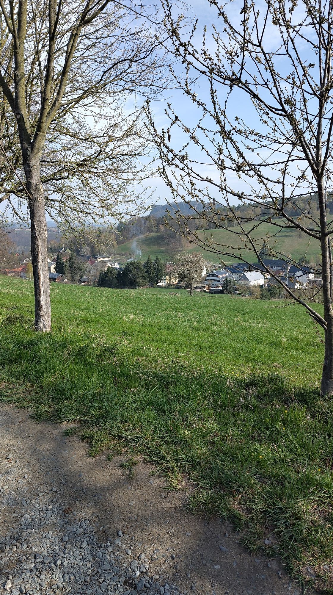

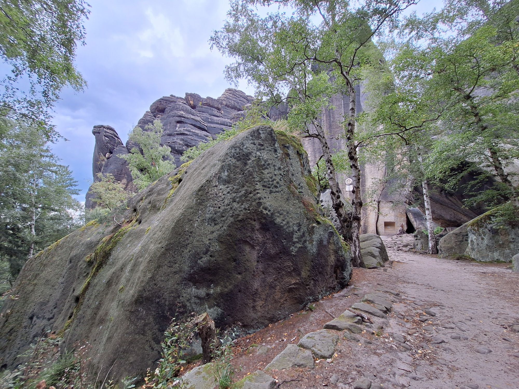
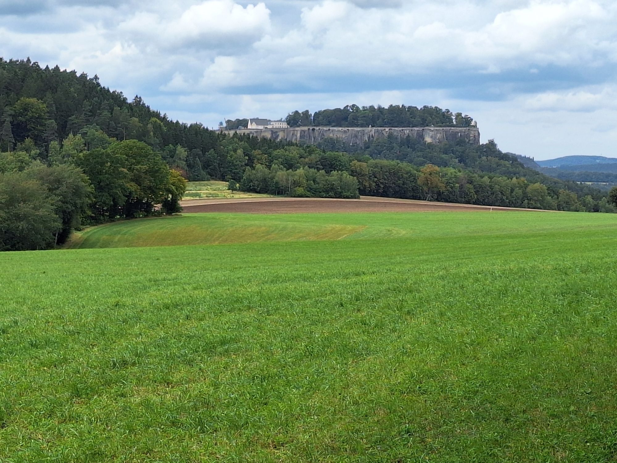
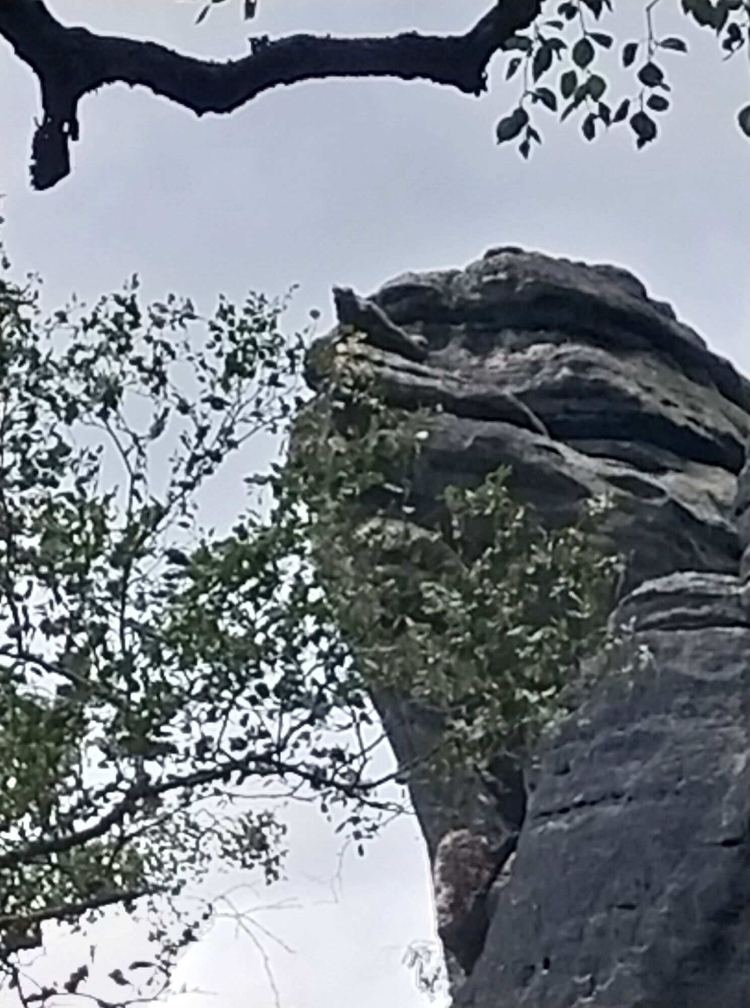
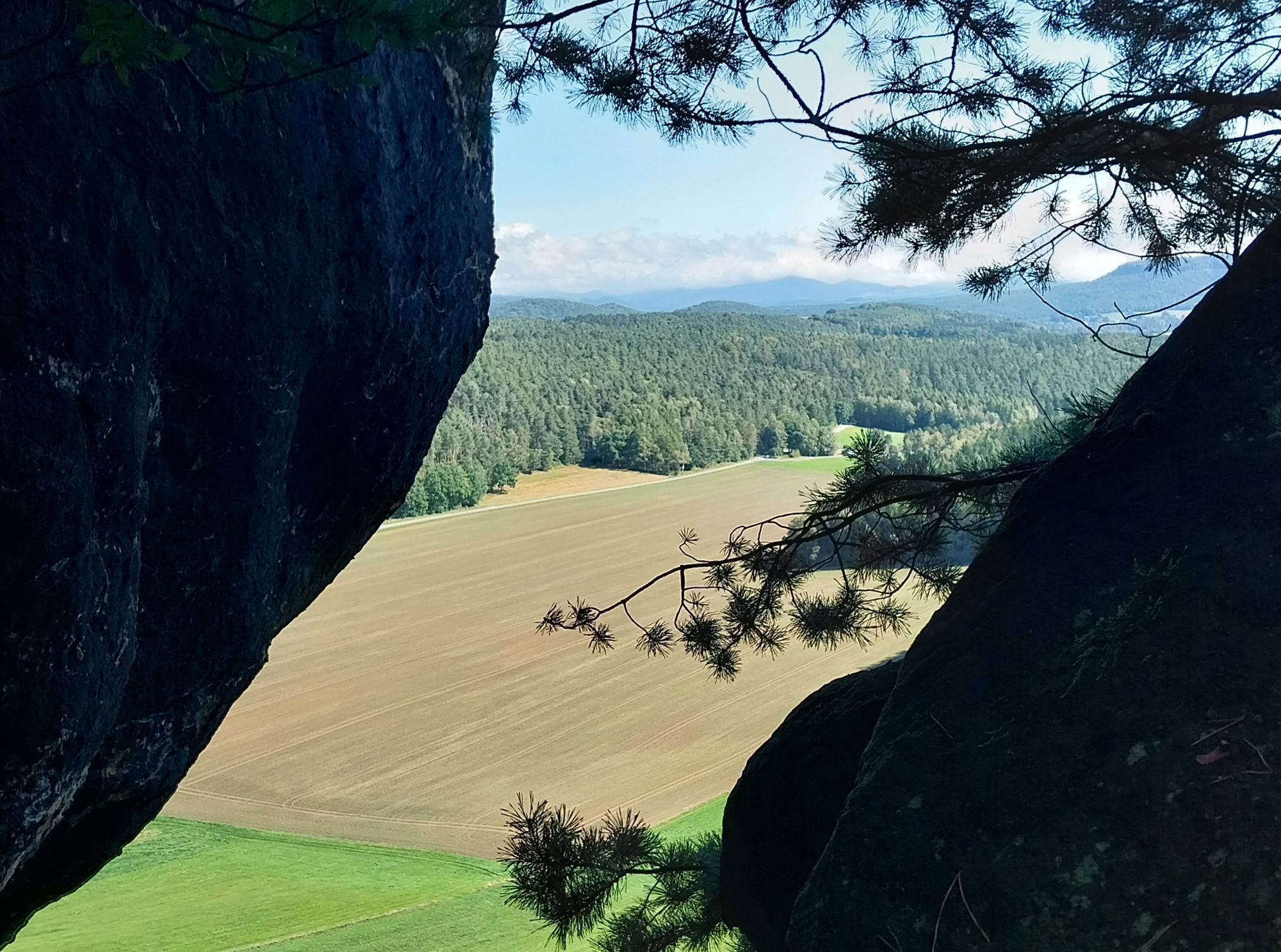
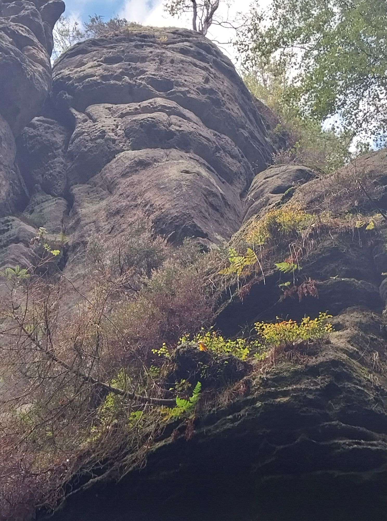
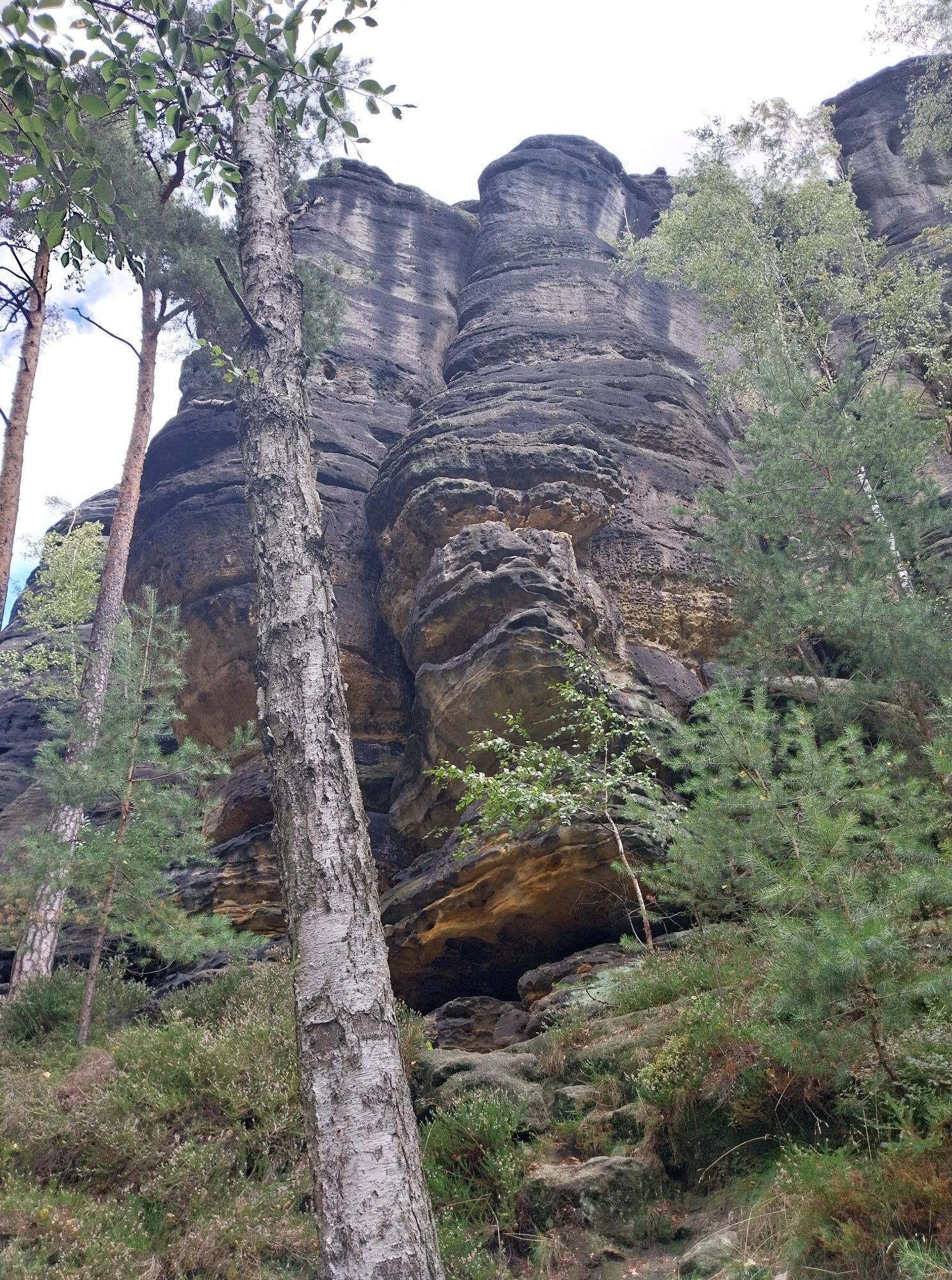
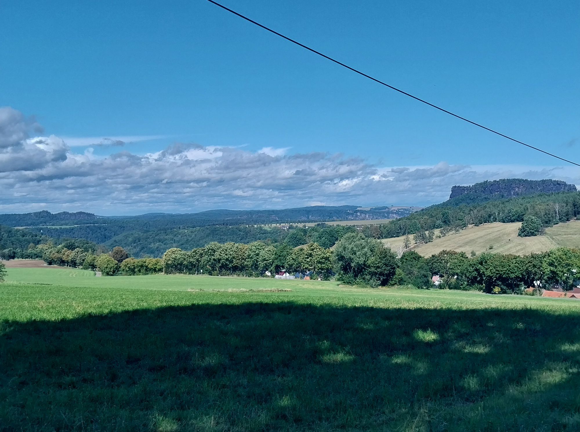
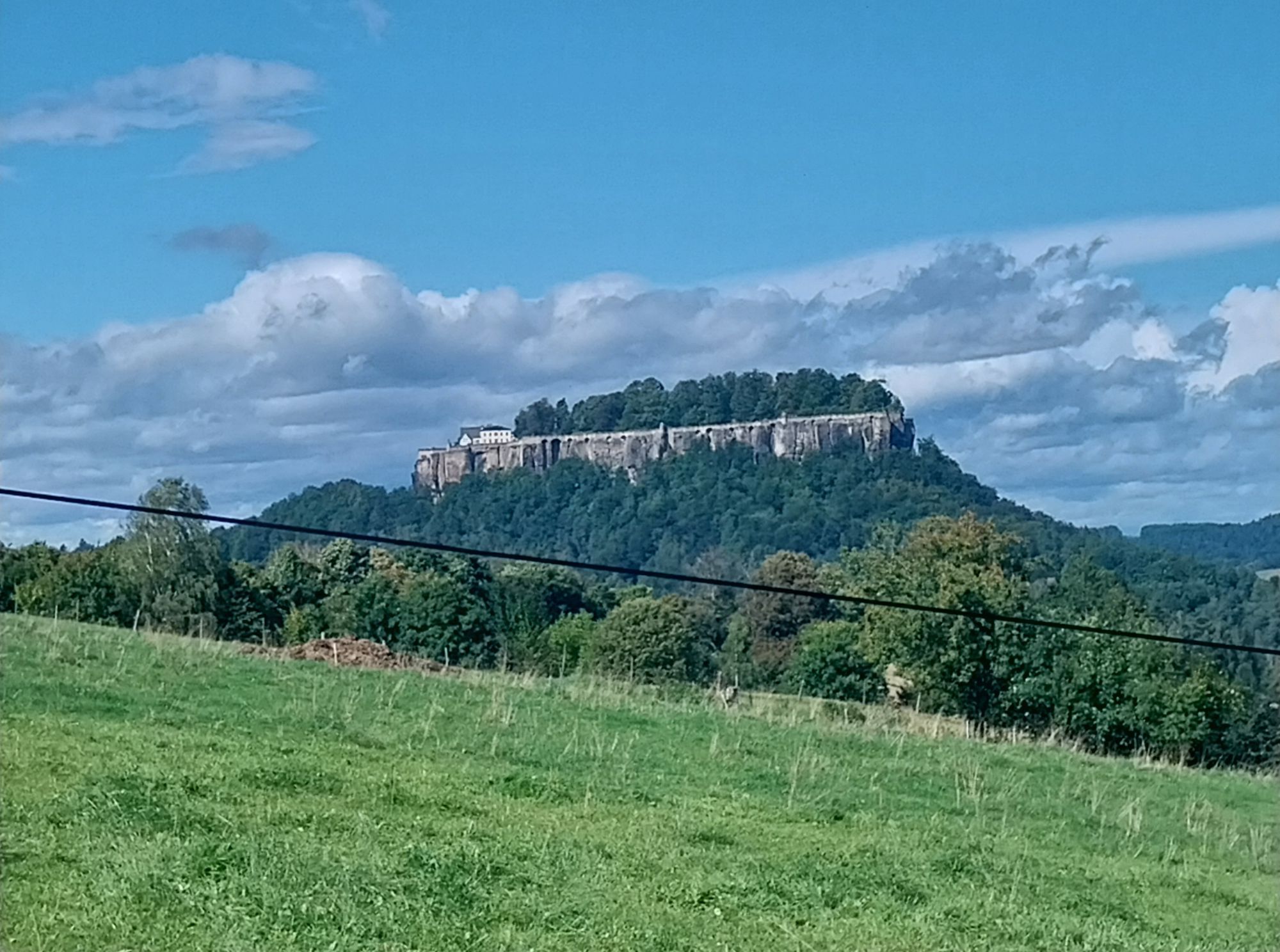
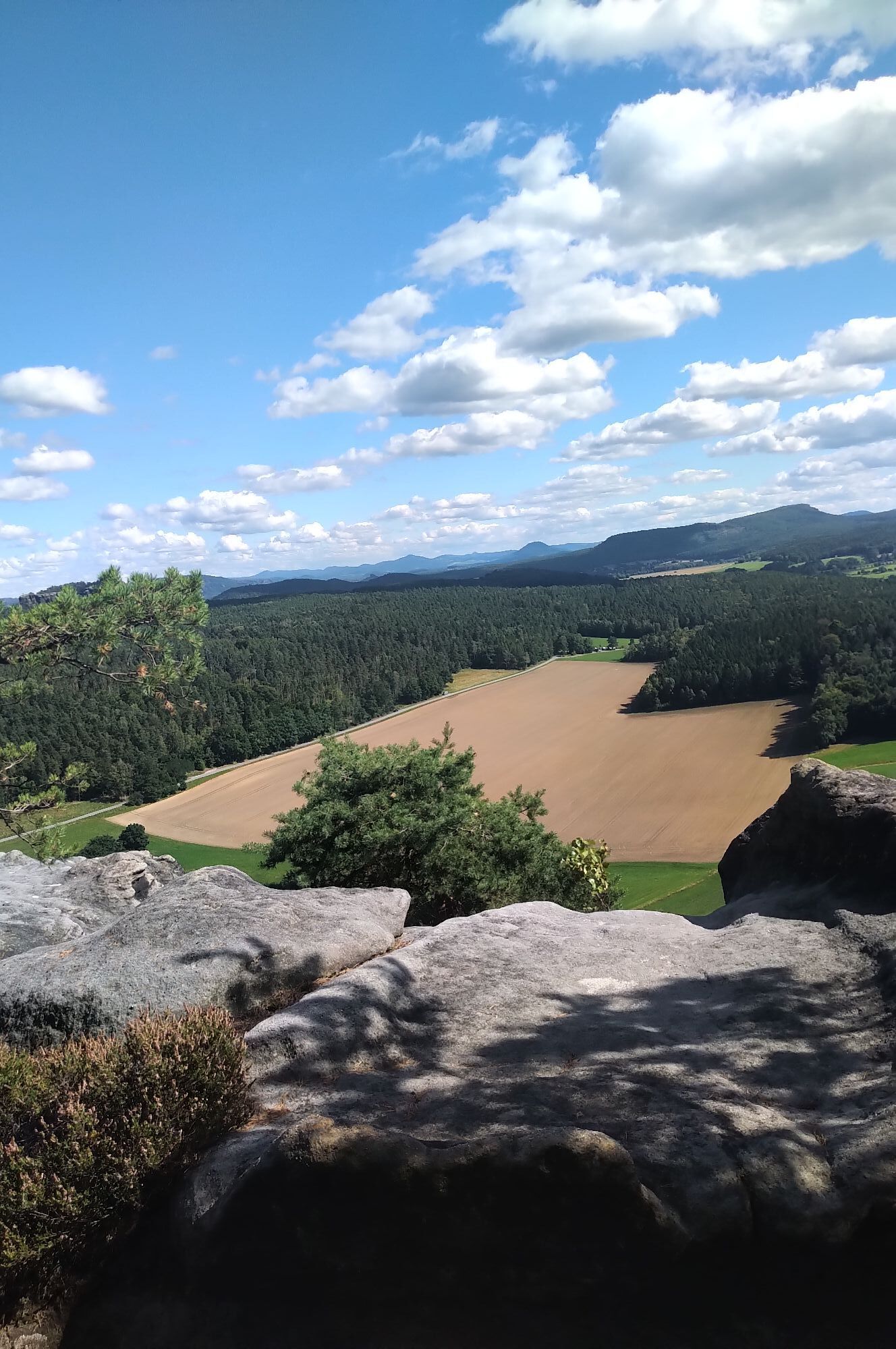
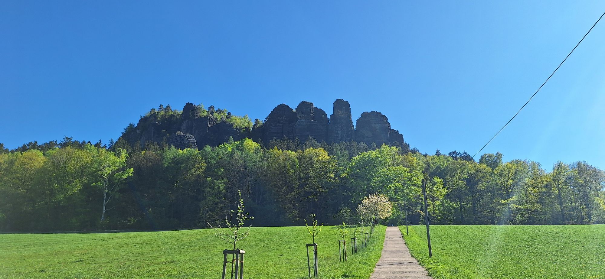
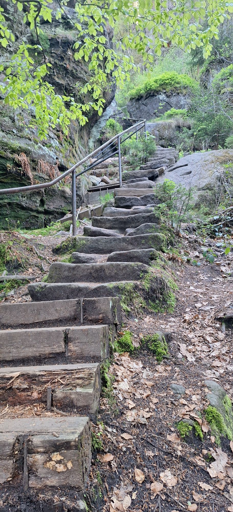
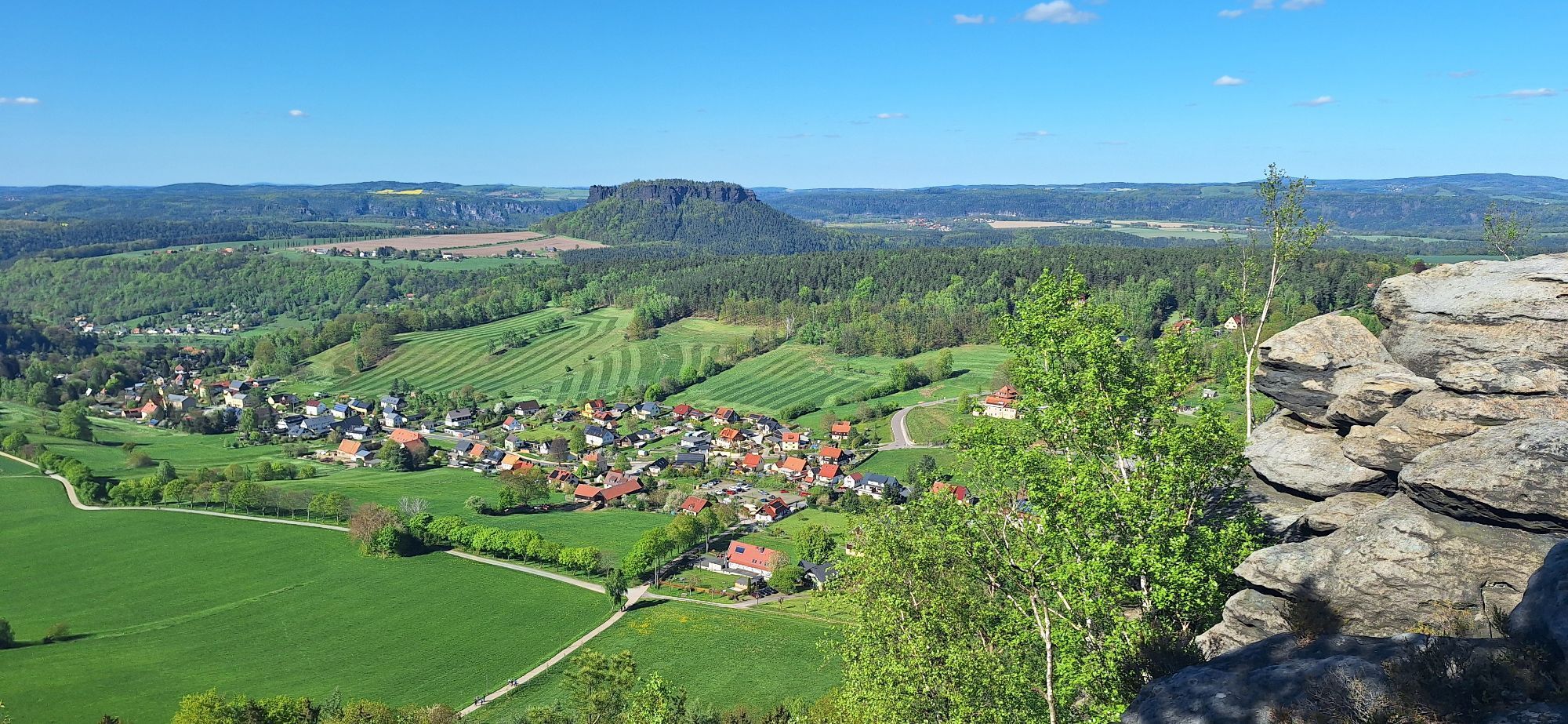

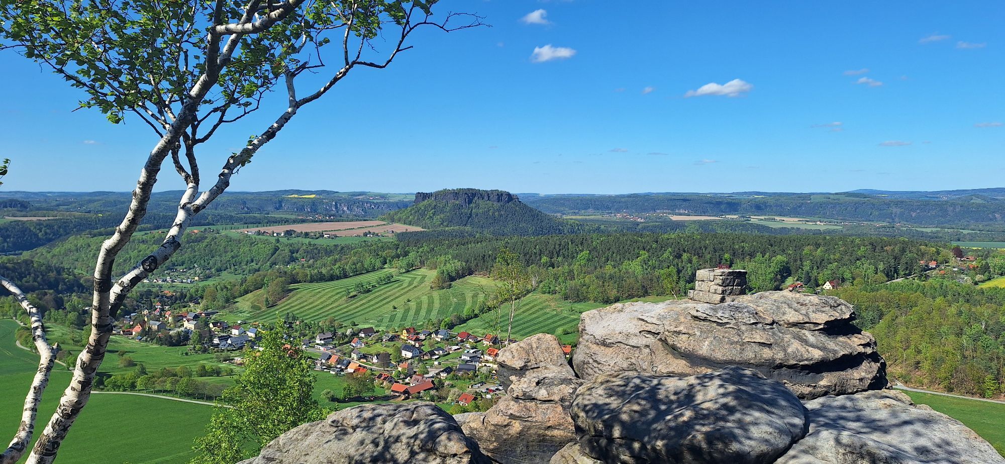

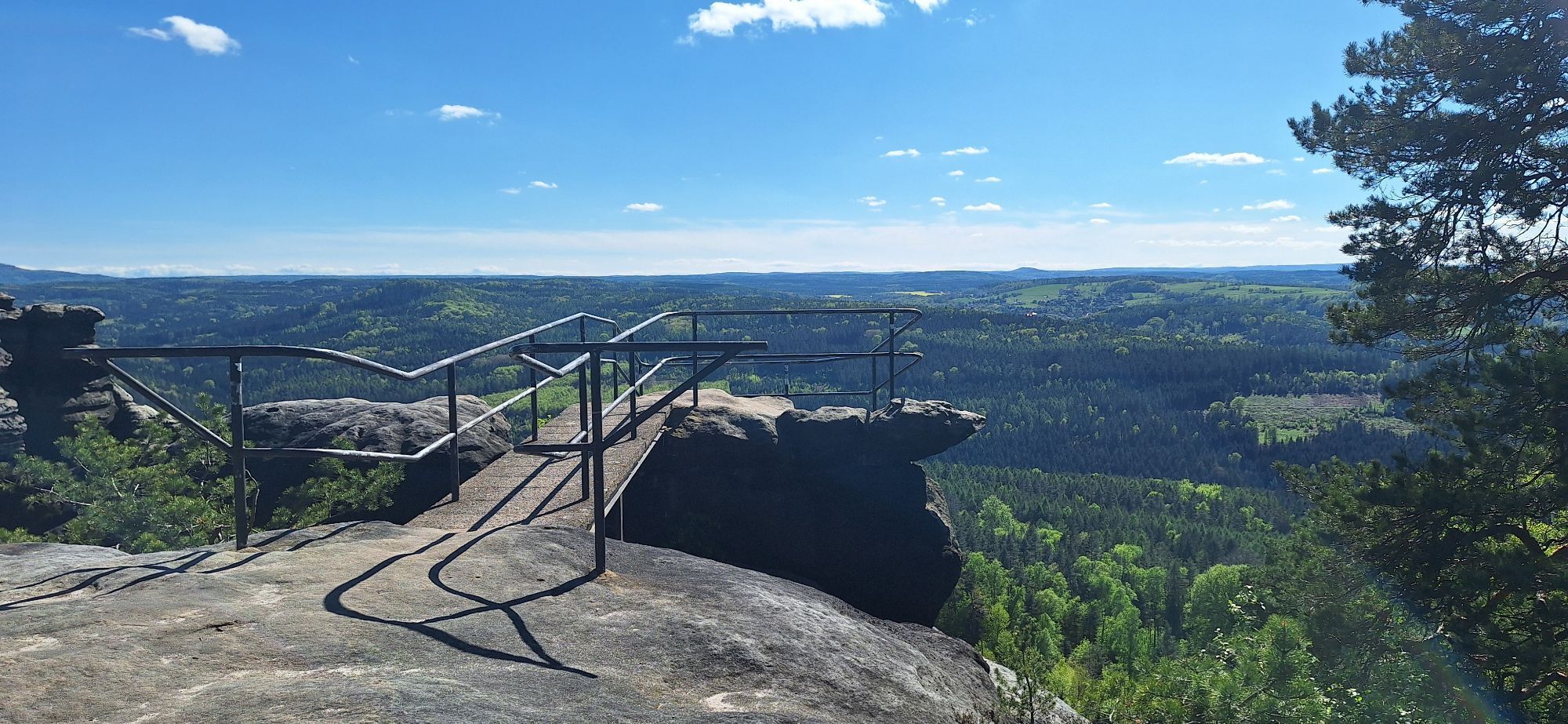
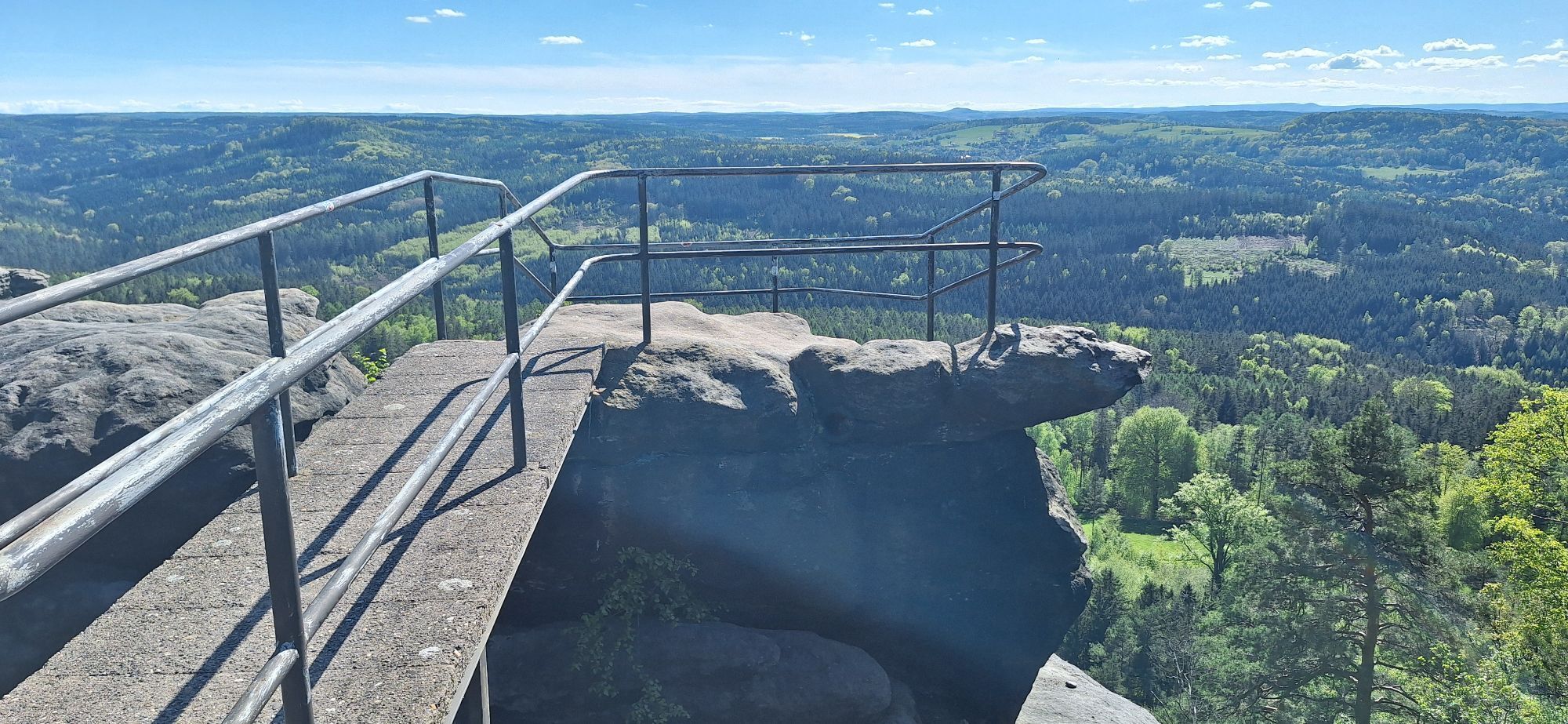
Start at the car park at the foot of the Pfaffenstein. A straight path leads uphill from here to the foot of the rock. There it is a sweaty path up via the "Nadelöhr". (Those who like it easier, however,...
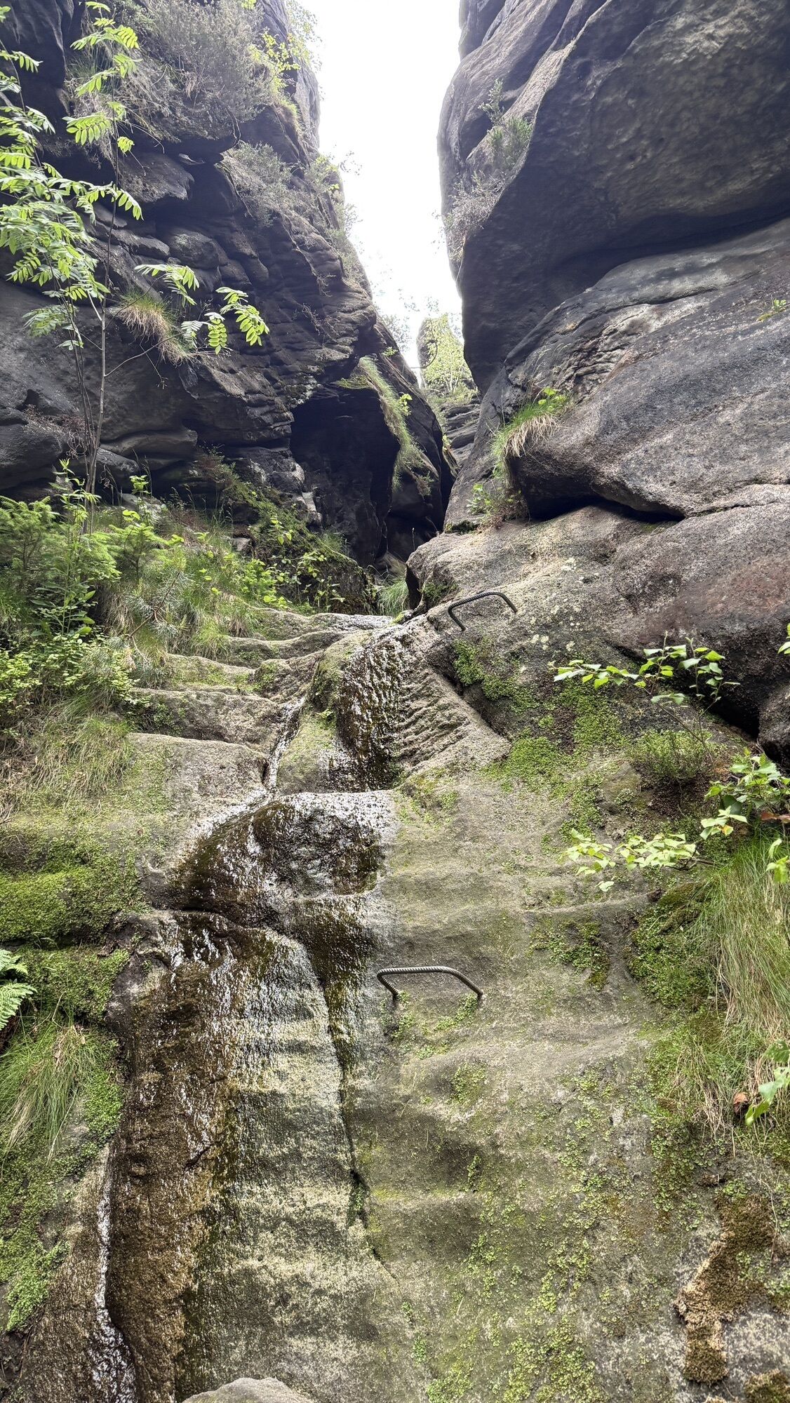
Start at the car park at the foot of the Pfaffenstein. A straight path leads uphill from here to the foot of the rock. There it is a sweaty path up via the "Nadelöhr". (Those who like it easier, however, can also opt for the comfortable ascent along the right. However, the many stairs and steps of the eye of the needle are better suited for an ascent than a descent).
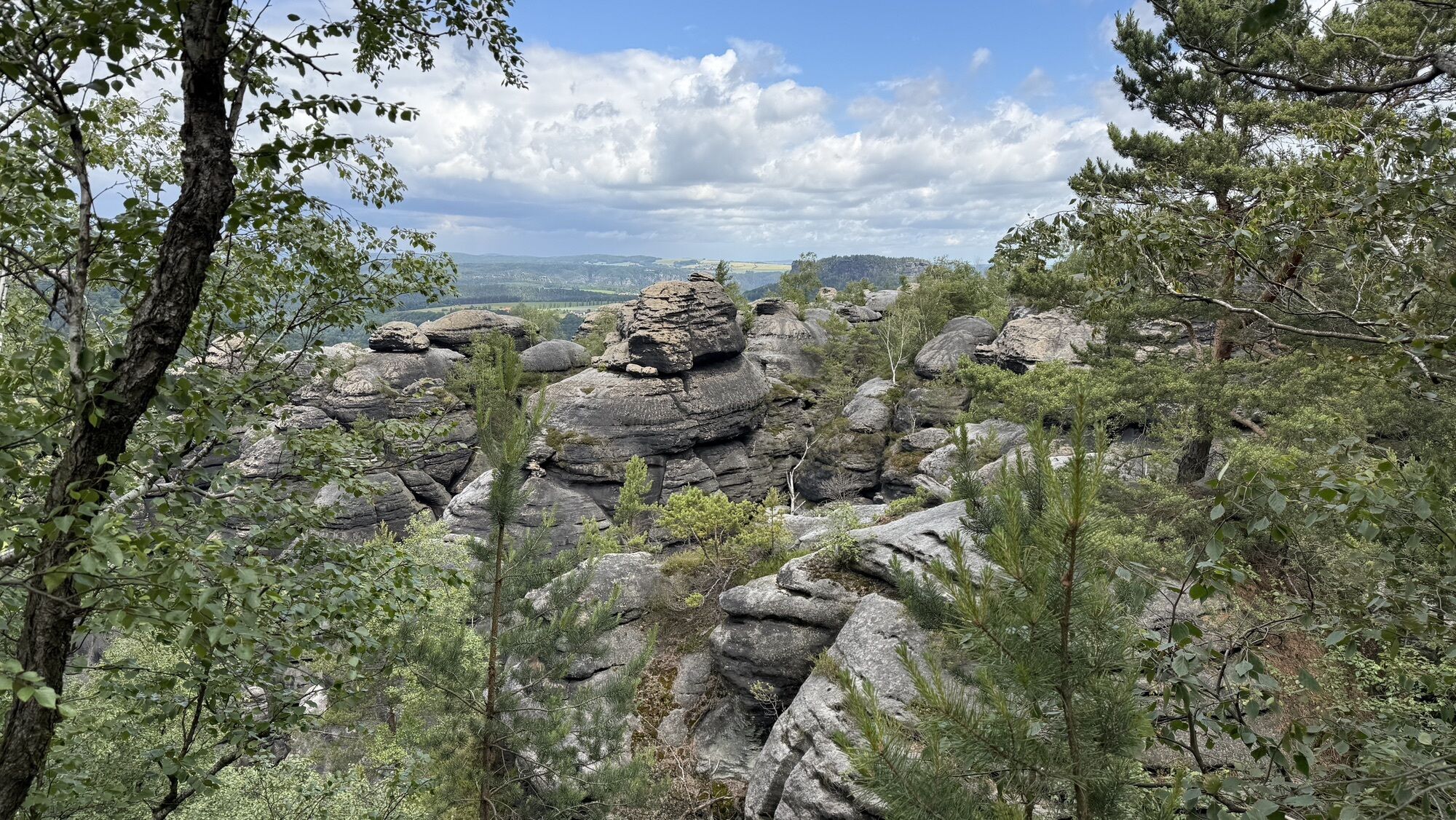
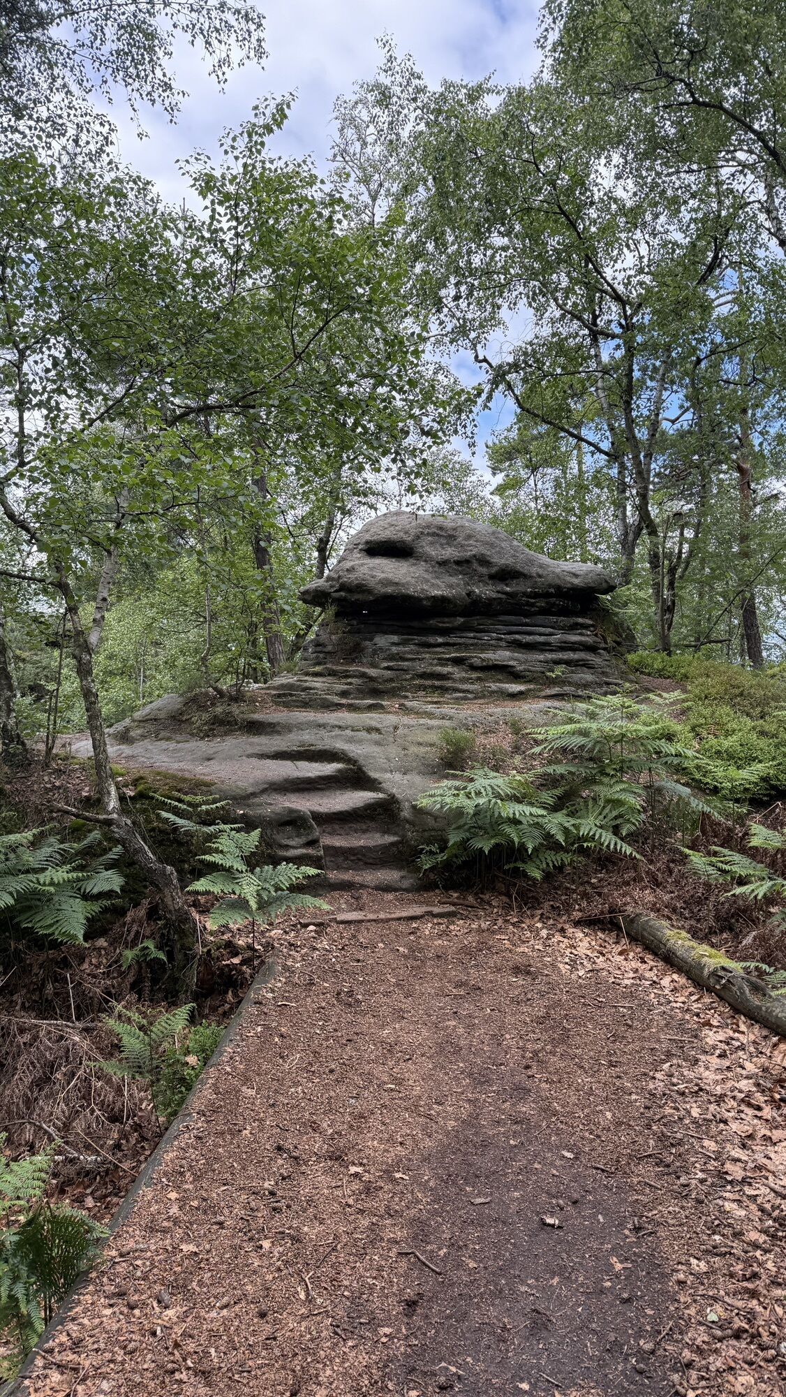
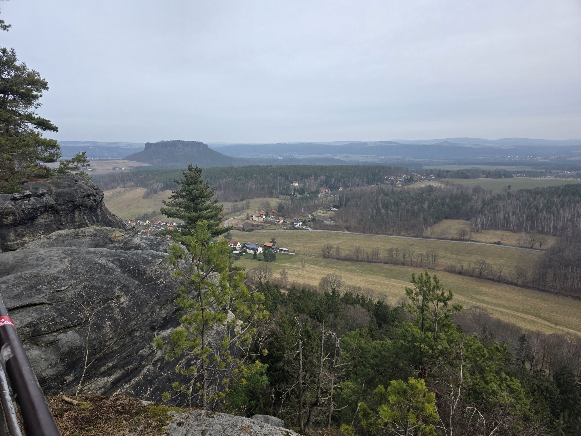
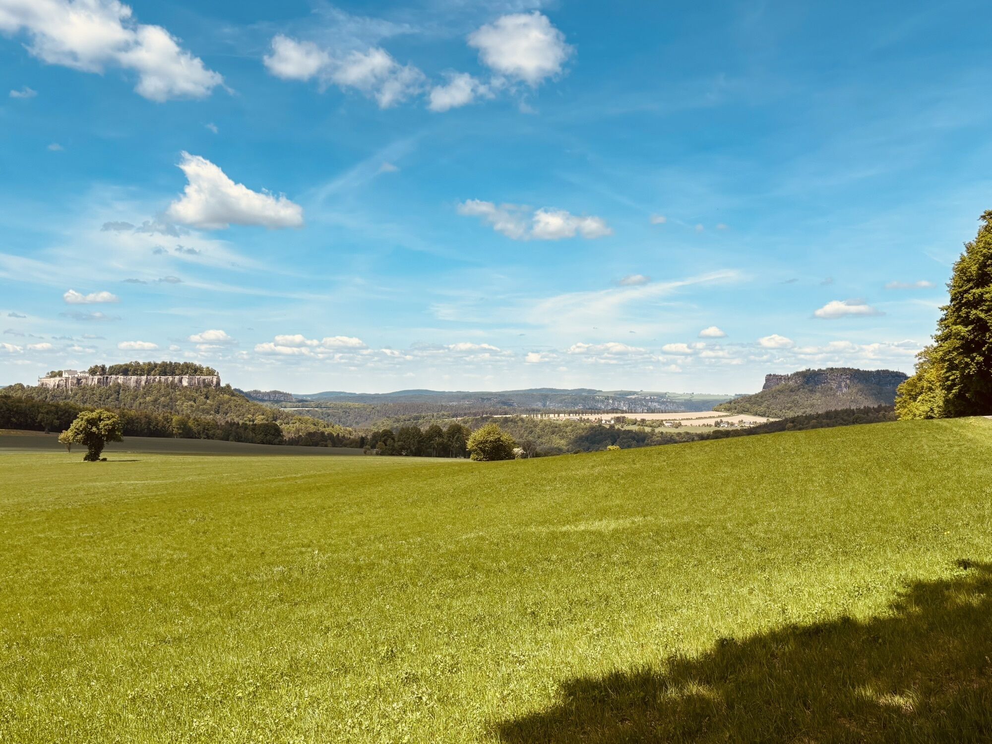
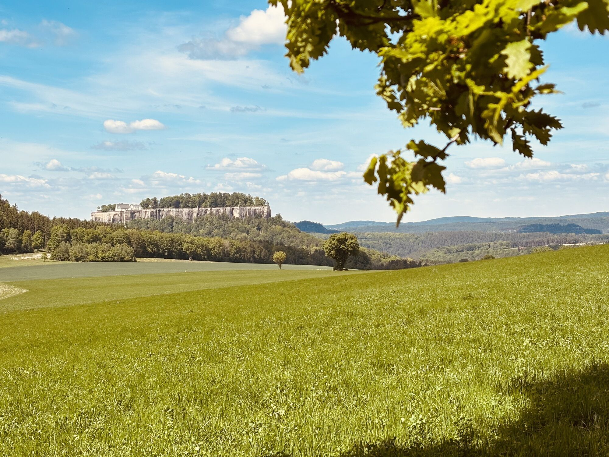
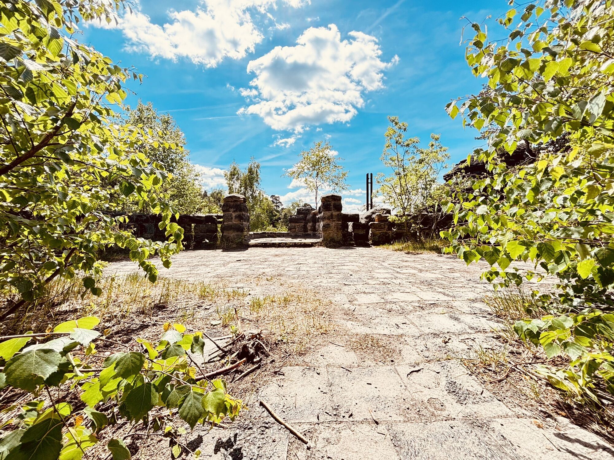
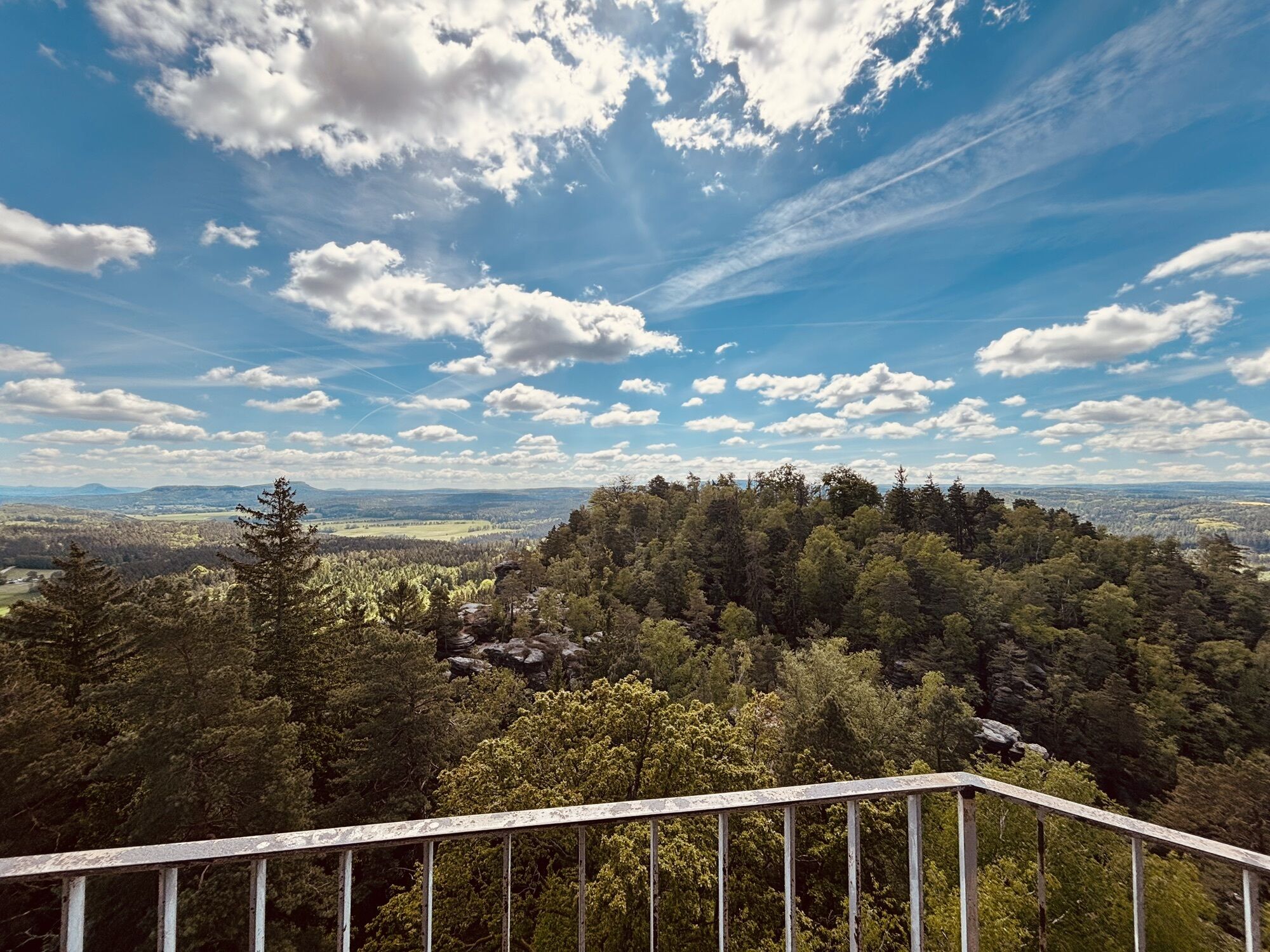
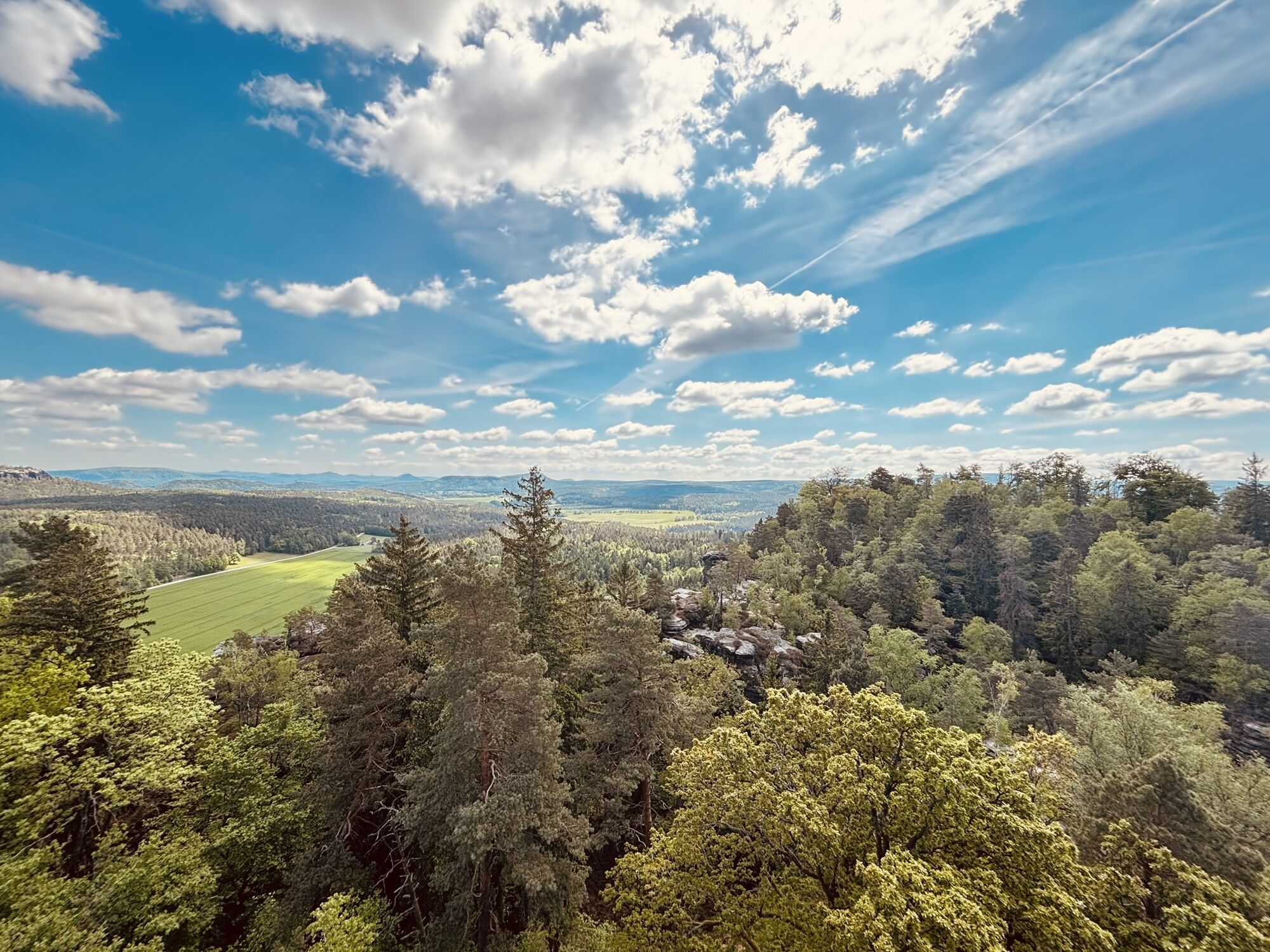
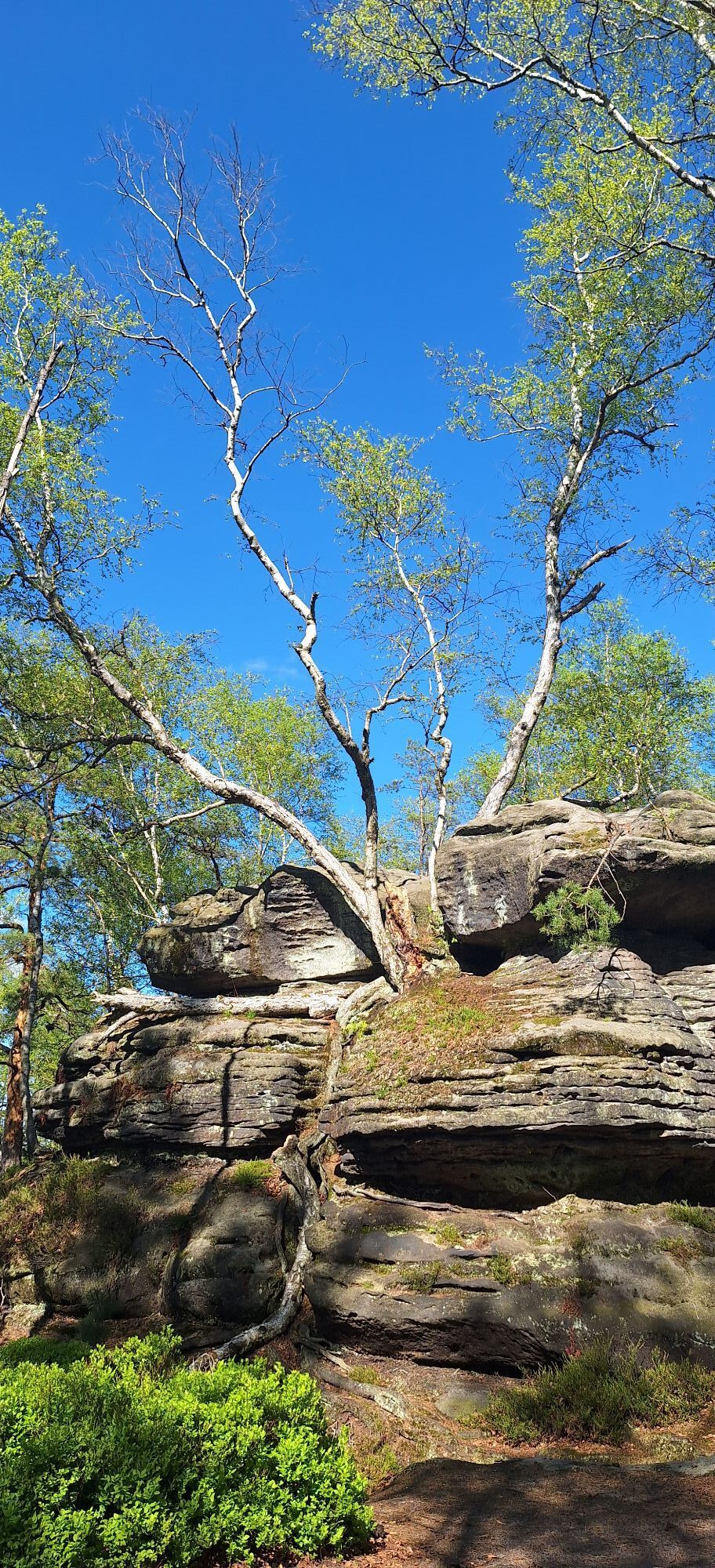
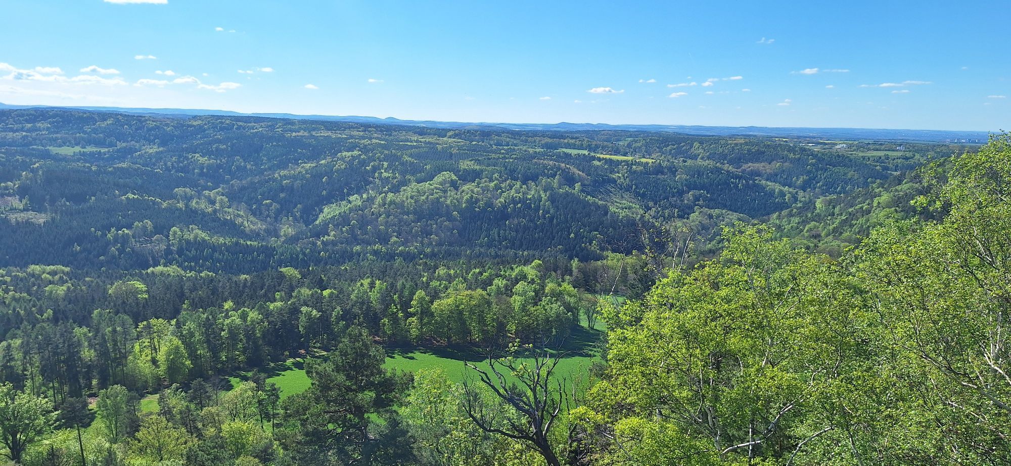
At the top, after a short break, you should turn left at the next junction, where the breathtaking view of the Gohrisch and the Papststein awaits. Back on the main trail, continue until you reach a turnoff that leads to the "Opferkessel", a cauldron-shaped depression that was probably formed during the last Ice Age. Here again a wonderful panorama reveals itself.
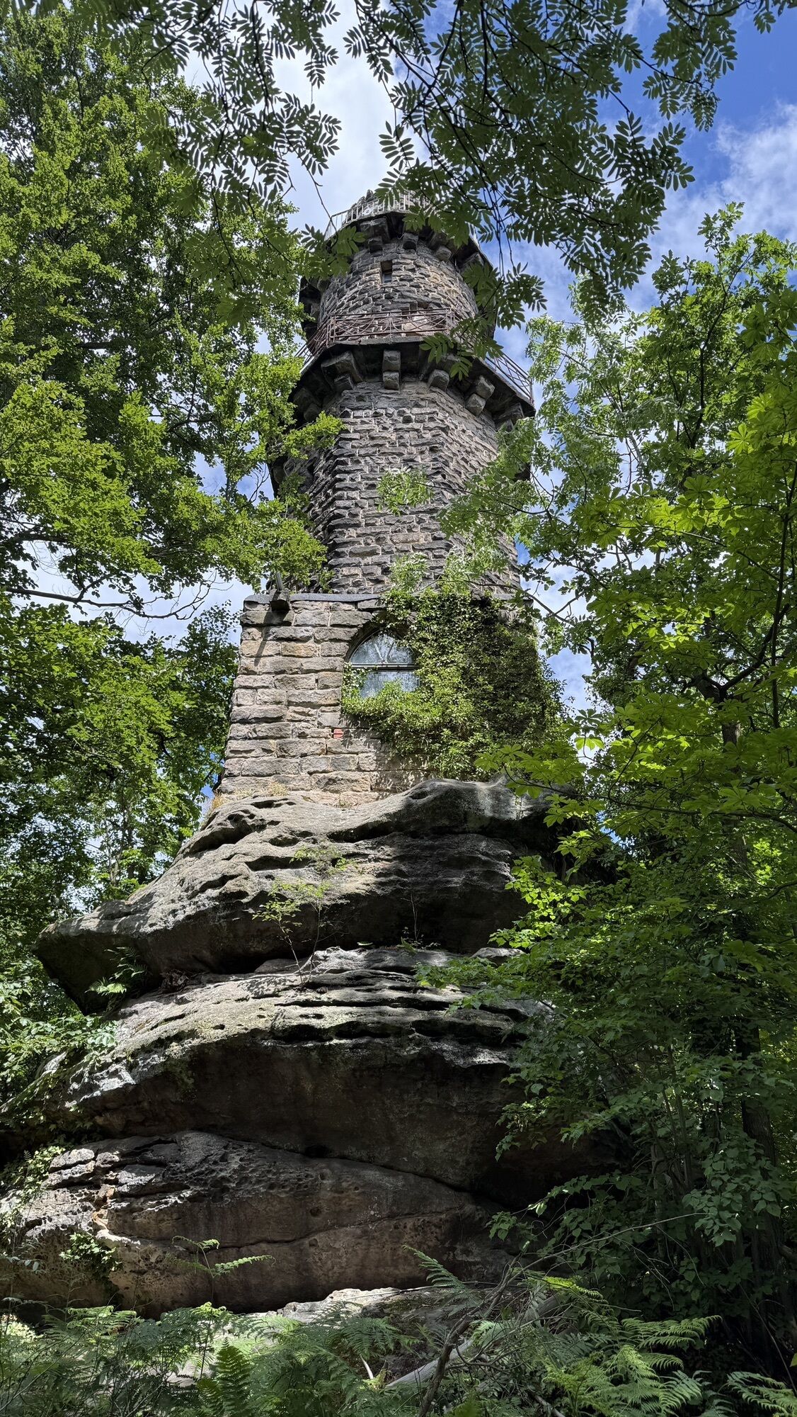
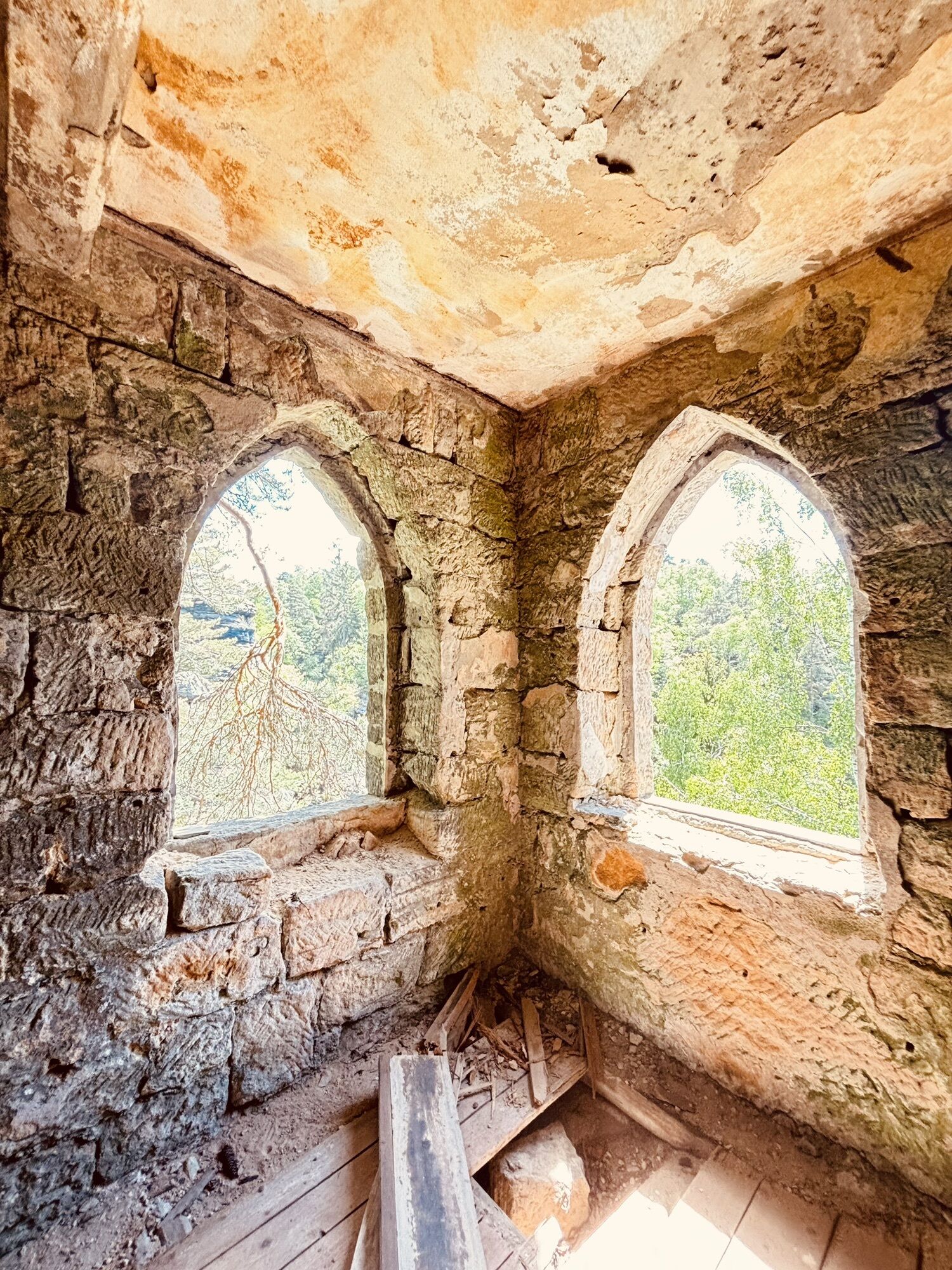
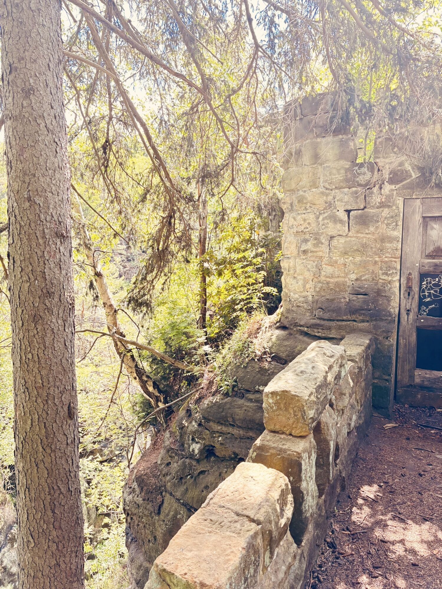
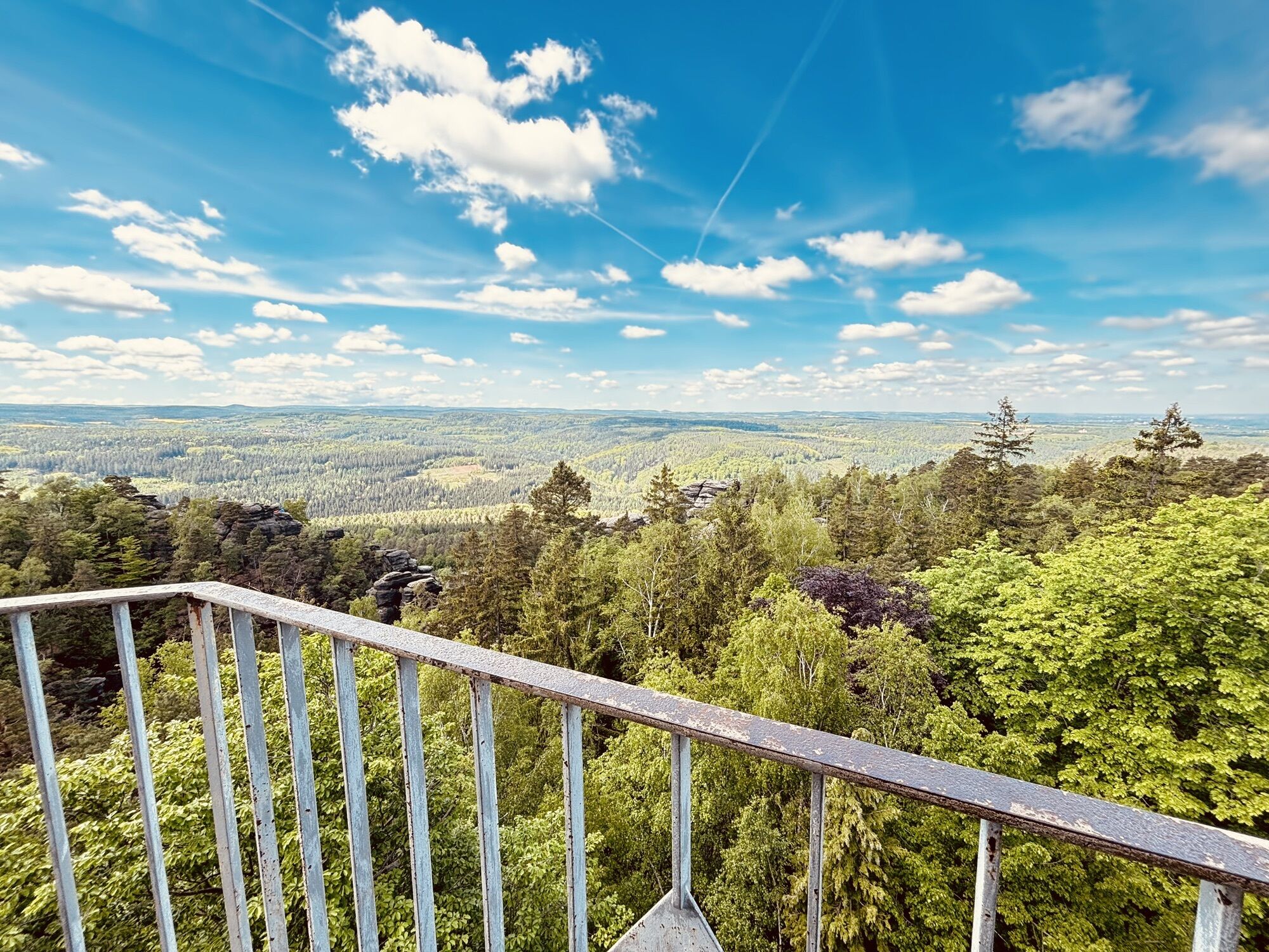
Back on the hiking trail, the route continues to the inn on the Pfaffenstein with its observation tower. There you can take a break and enjoy the delicious food and drinks on offer.
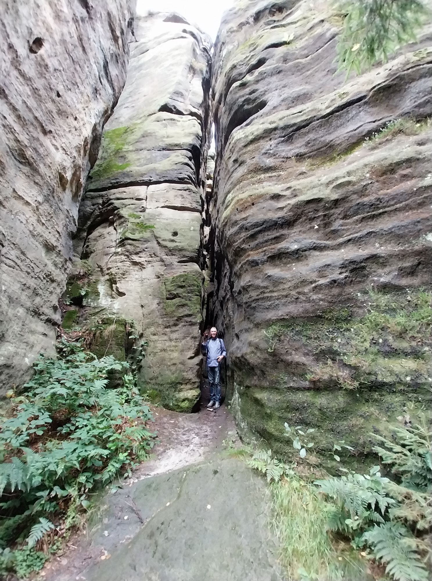
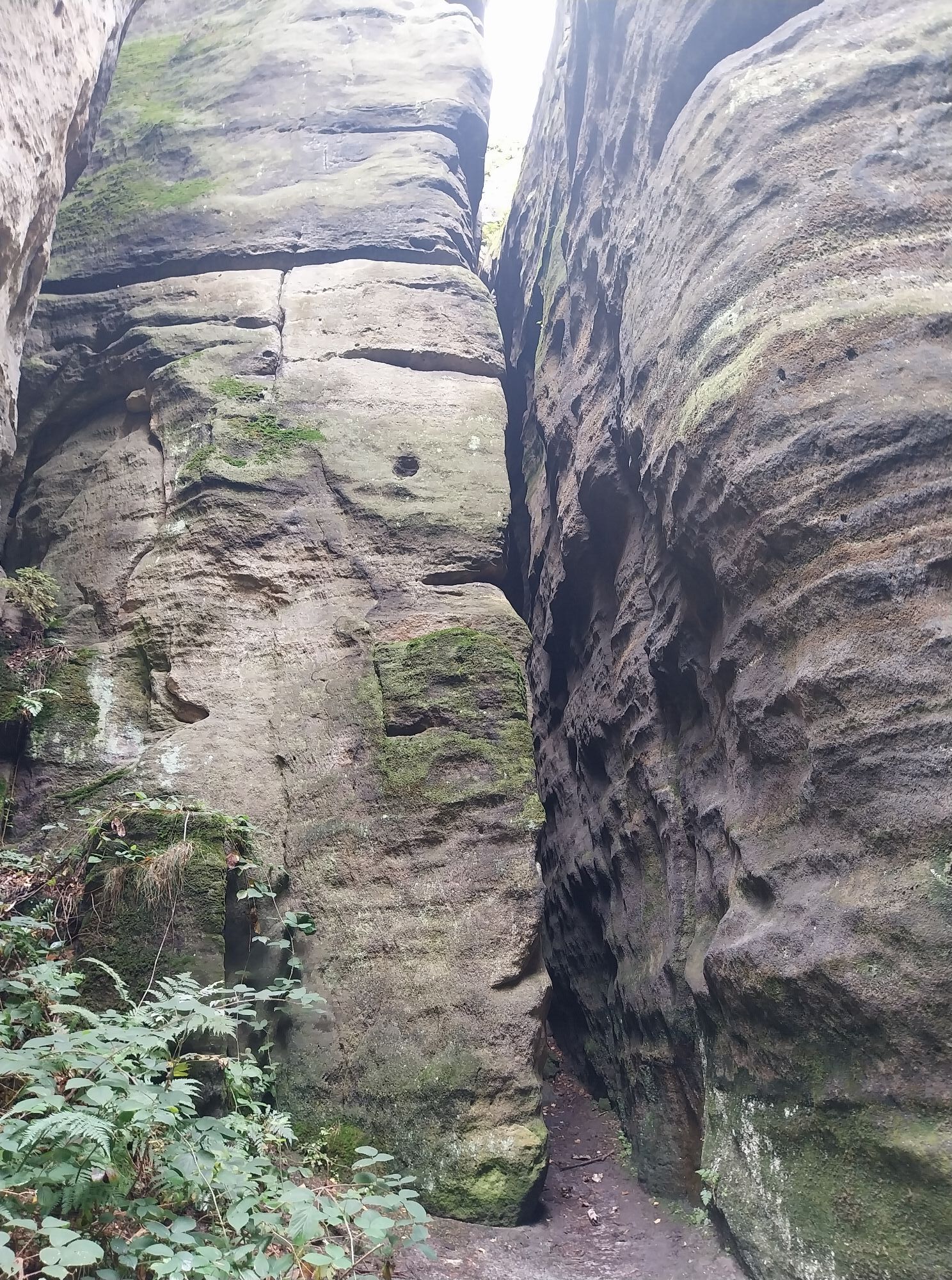
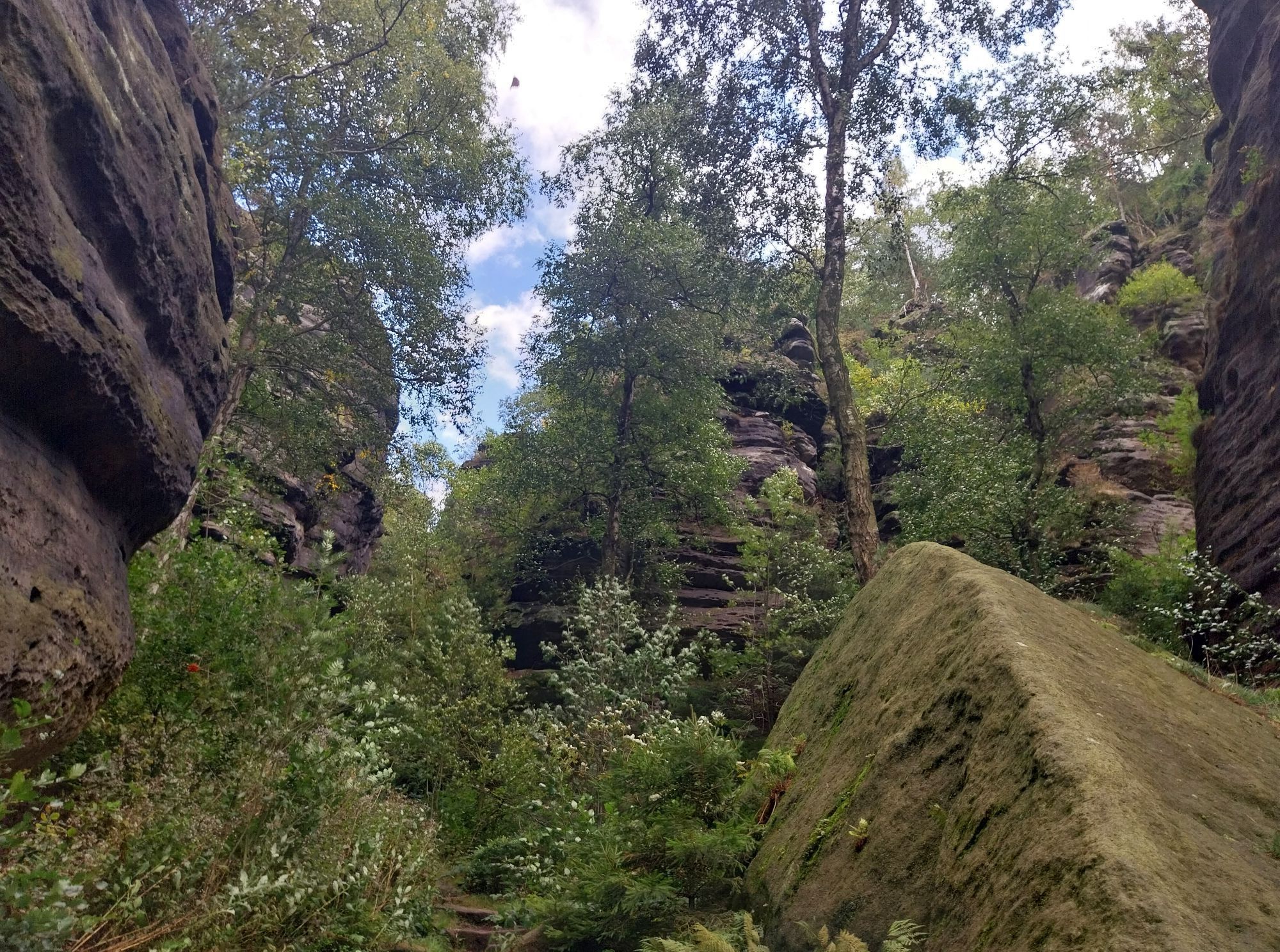
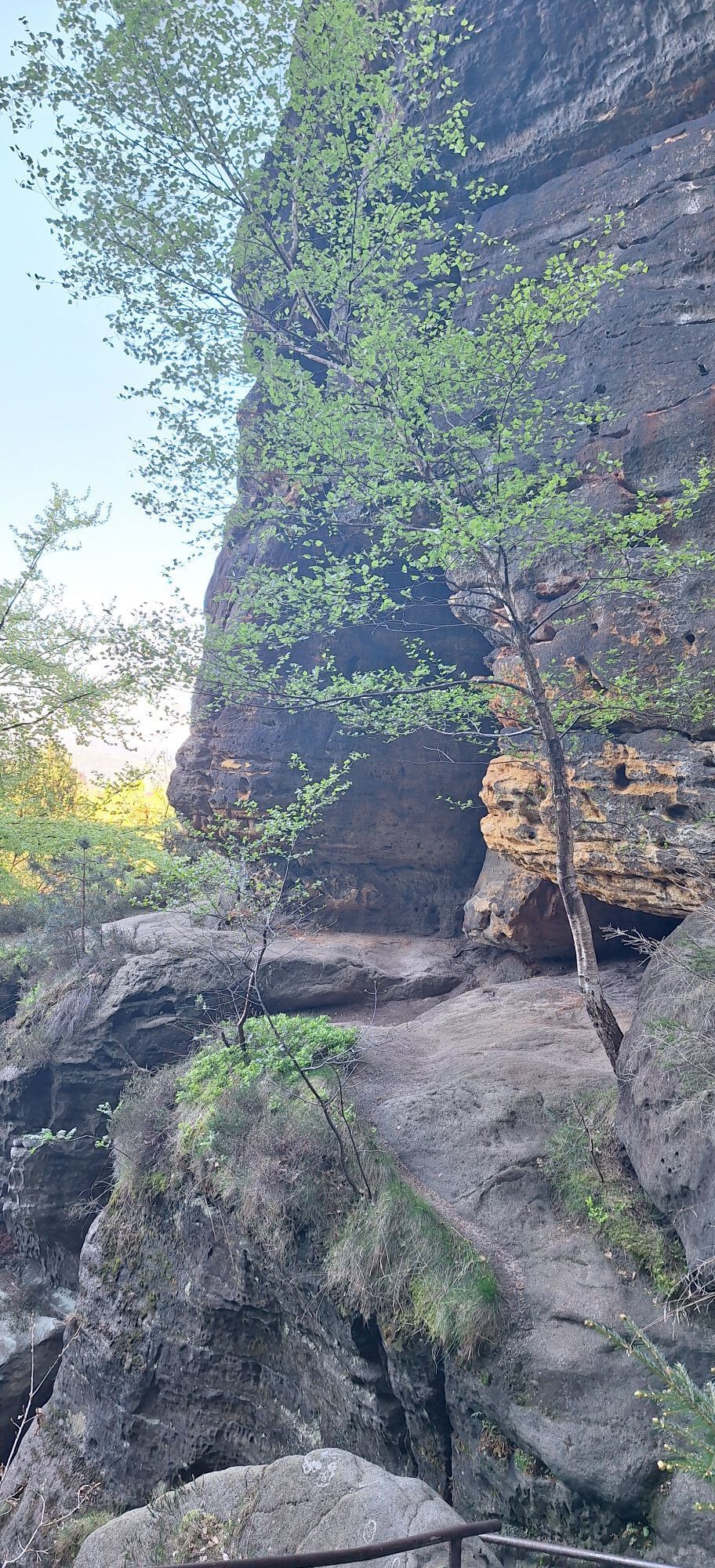
Thanks to good signposting, the path to the Barbarine is easy to find from this cosy resting place. After numerous steps and a dark crevice, the view opens up to the "Stone Virgin". Now walk back in the direction of the inn and then turn left at the first junction, down the gorge path. It finally leads back to the starting point.
All in all, a moderately difficult circular hike, very varied with wonderful panoramic views.

Difficulty: medium (with numerous stairs and steps)
Obtenez un aperçu
Toujours en direct avec plus de 9.500 webcams. En tant qu'utilisateur Pro, vous pouvez désormais voir les webcams correspondantes à de nombreuses randonnées dans l'application de randonnées de bergfex. Vous pouvez ainsi voir directement les conditions actuelles.

Parcours populaires à proximité
-
4,7
Rathen / Hockstein / Bastei / Rathen
moyenRandonnée 14,4 km -
4,6
Von Rathewalde zur Bastei
Randonnée 12,8 km -
4,7
Rundwanderung Bastei Schwendenlöcher -Amselsee
facileRandonnée 6,21 km -
4,5
Kuhstall, Himmelsleiter und Schneiderloch
moyenRandonnée 4,06 km -
4,7
Pfaffenstein Sachsen/Deutschland
moyenRandonnée 3,89 km -
5,0
Basteibrücke
facileRandonnée 2,31 km -
5,0
Lilienstein
facileRandonnée 3,75 km -
5,0
Prebischtor
moyenRandonnée 18,9 km -
4,9
entlang der Schrammsteine, Breite Kluft, Affenwand
moyenRandonnée 11,6 km -
4,4
Kurort Rathen: Große Bastei-Runde
moyenRandonnées d'hiver 4,75 km
Randonnée et suivi


Ne manquez pas les offres et l'inspiration pour vos prochaines vacances
Votre adresse électronique a été ajouté à la liste de diffusion.





