






Malerweg, Stage 8: From Weißig to Pirna (official version TV Sächsische Schweiz)
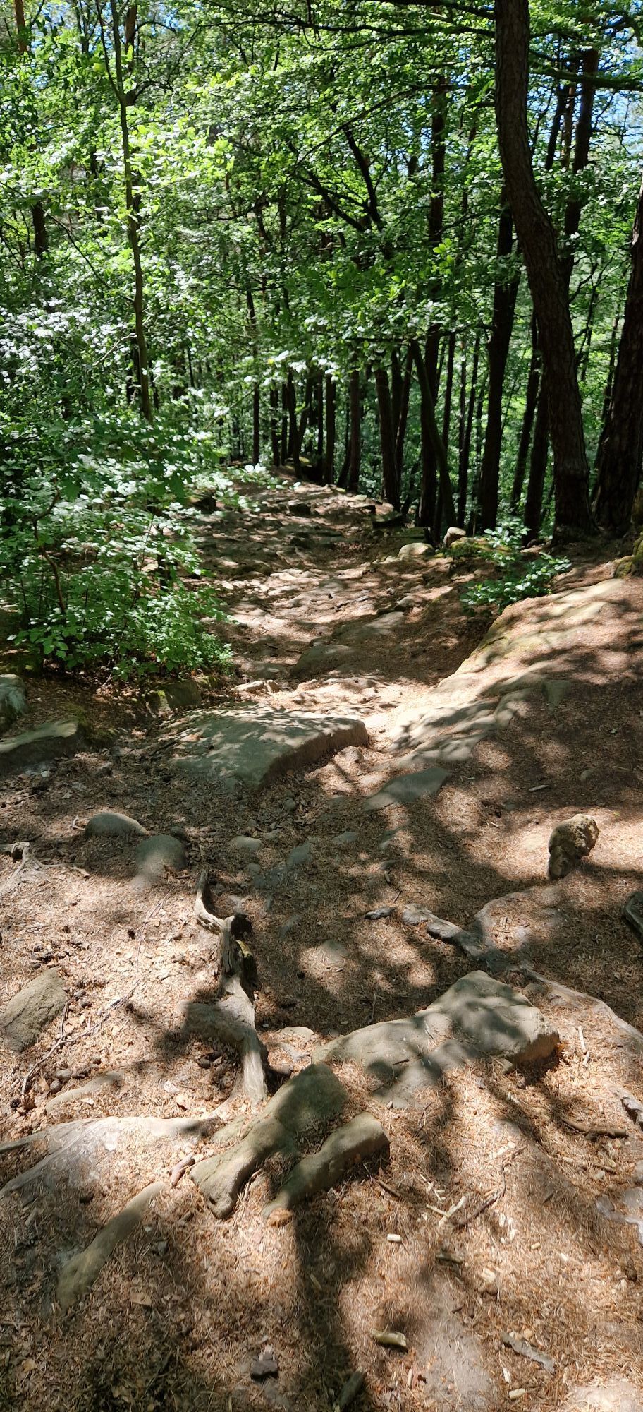
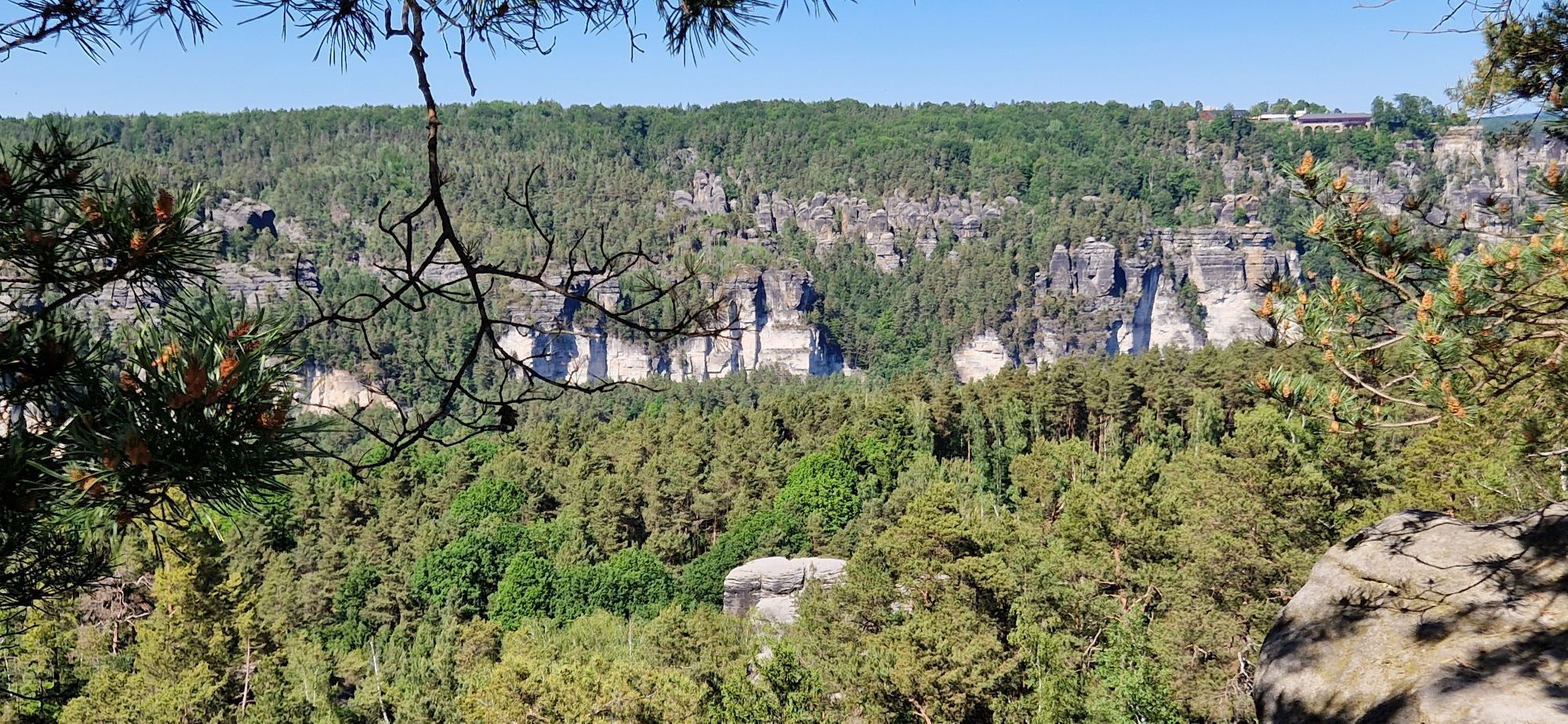
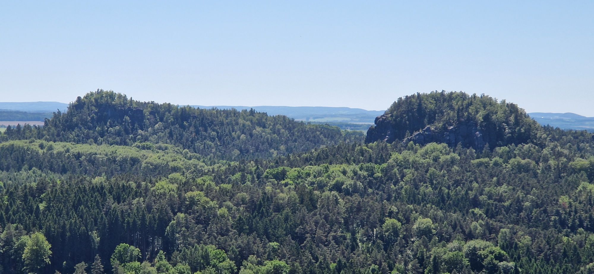
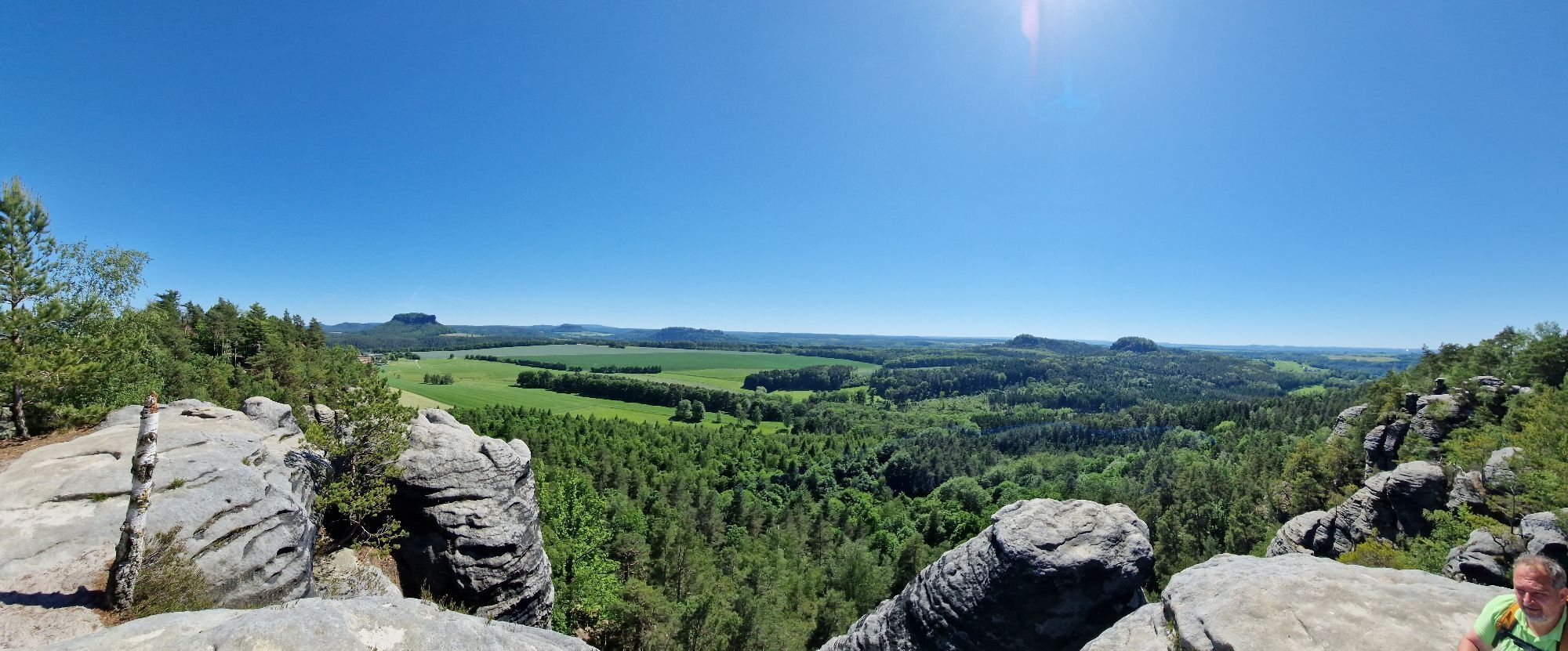
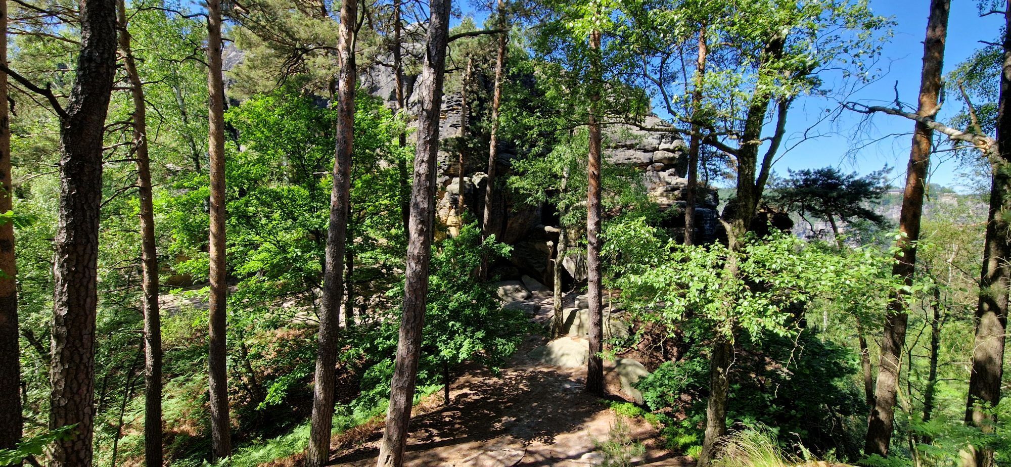
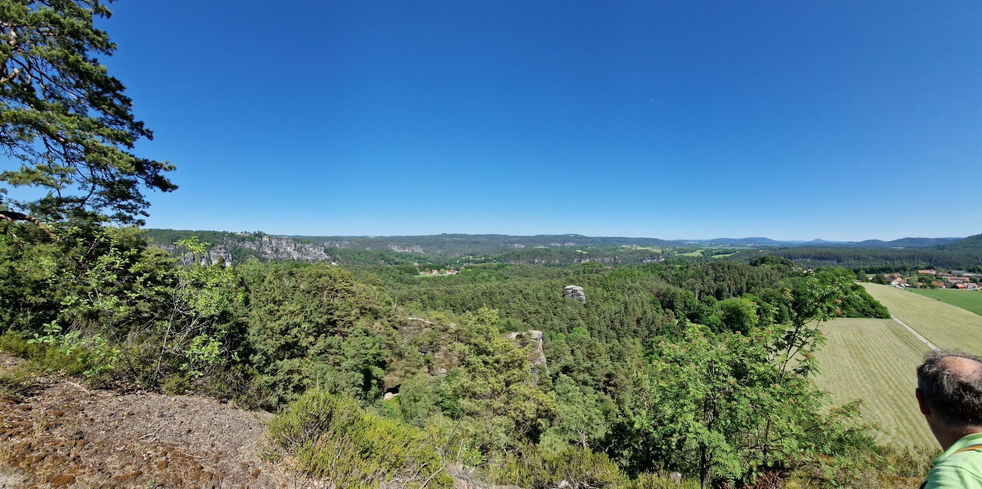
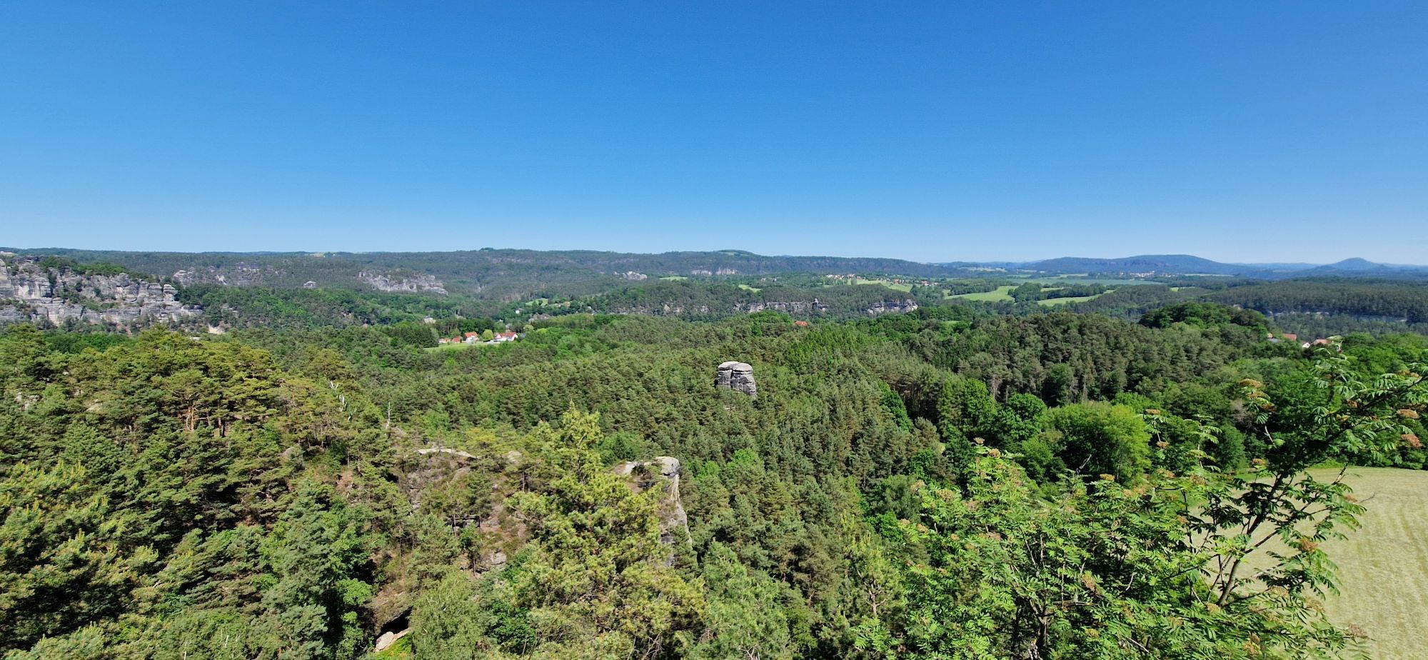
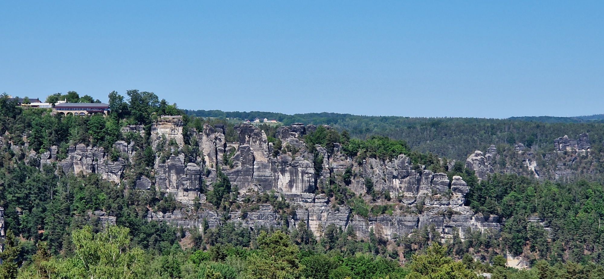
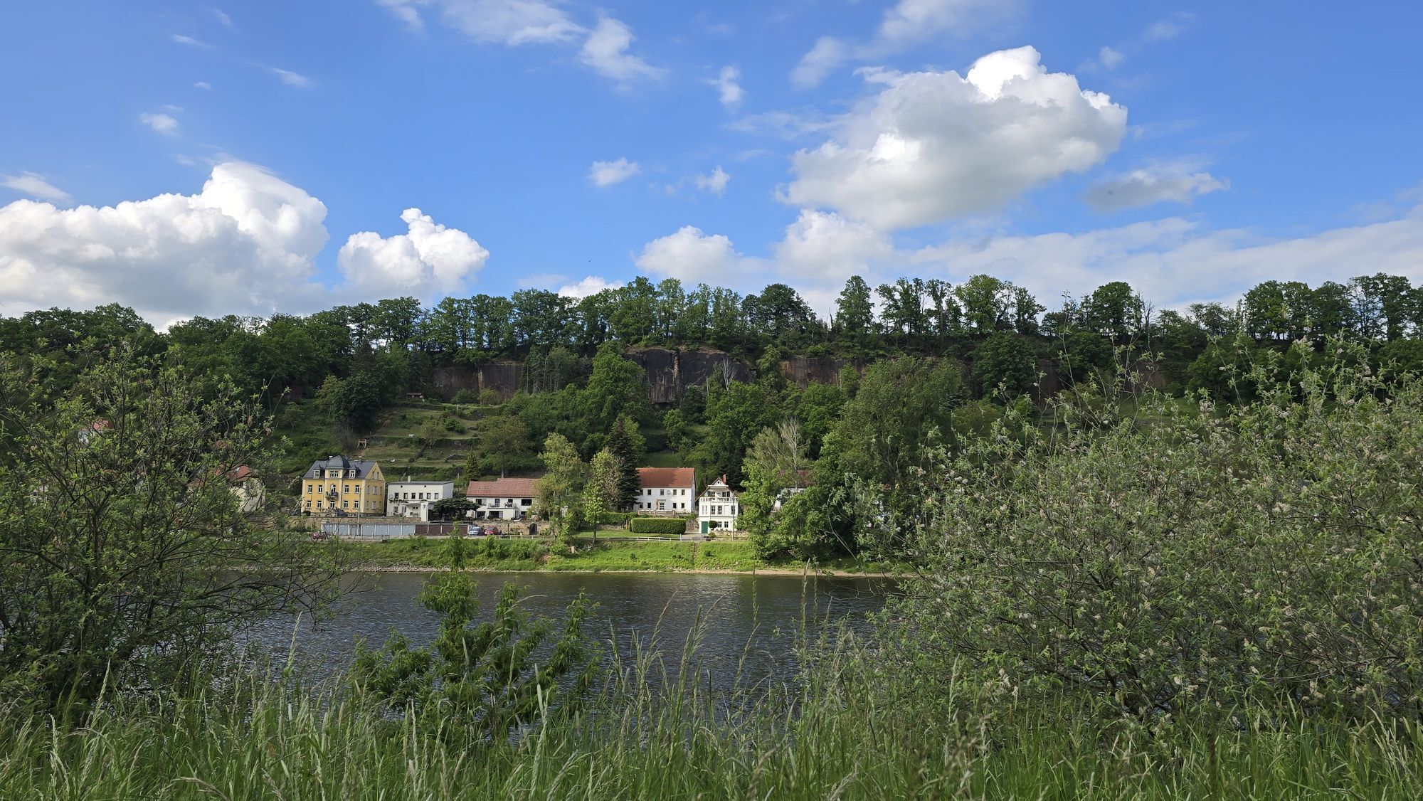
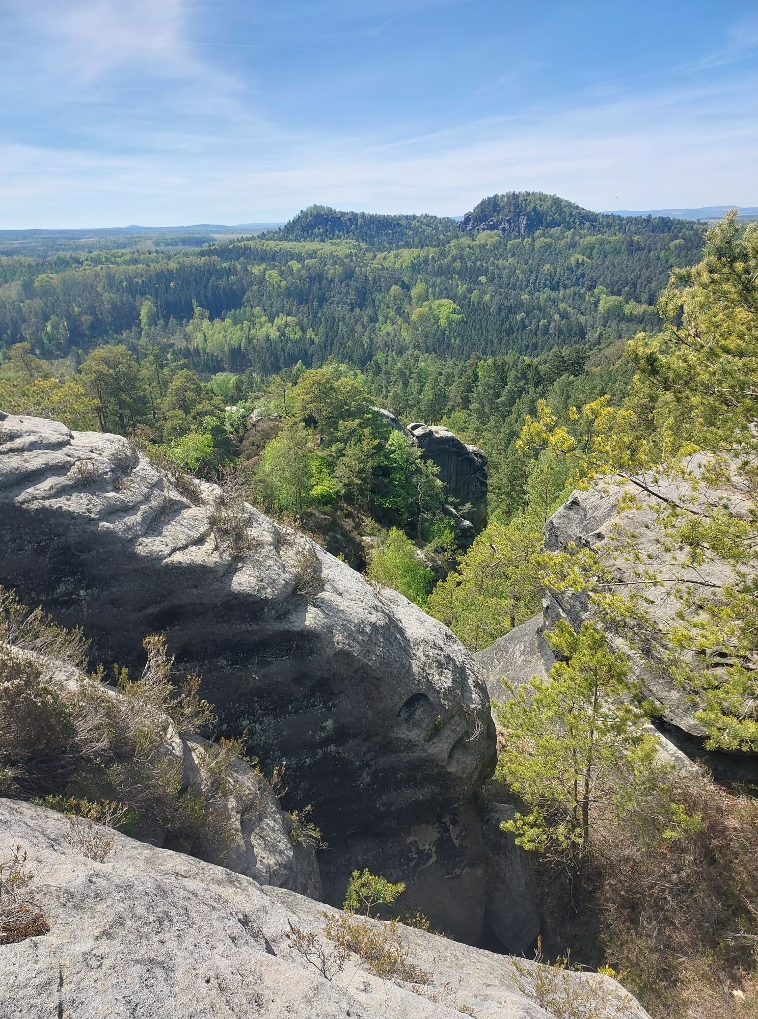
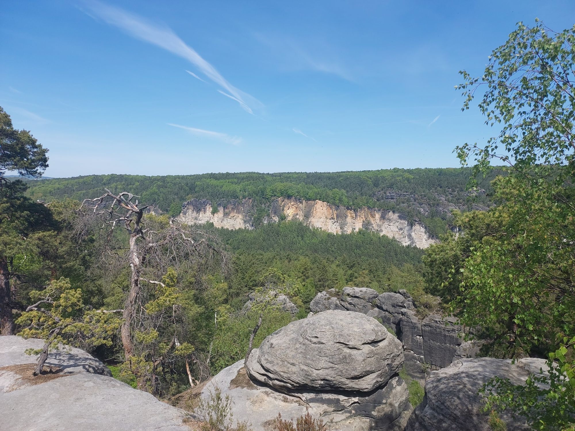
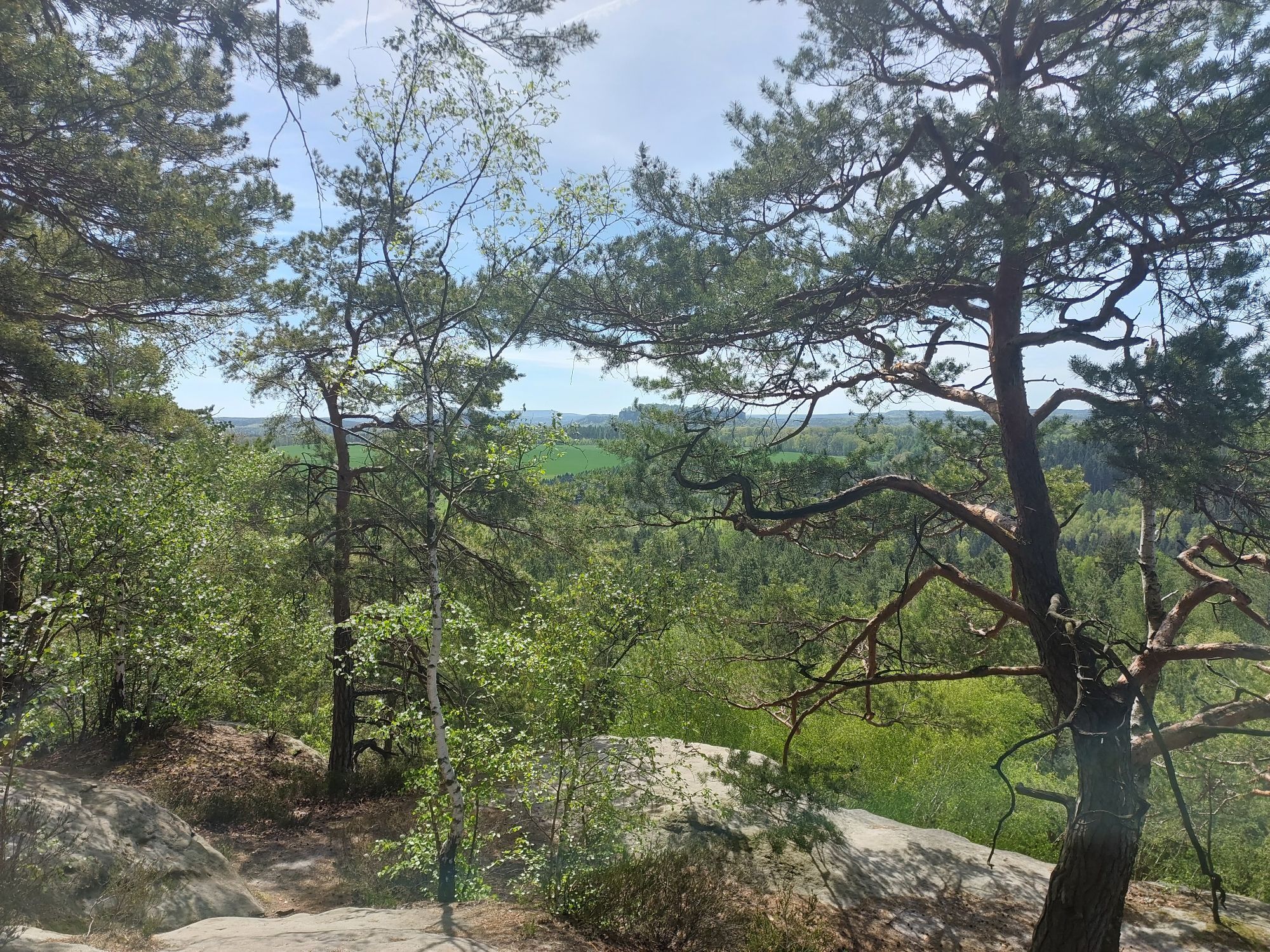
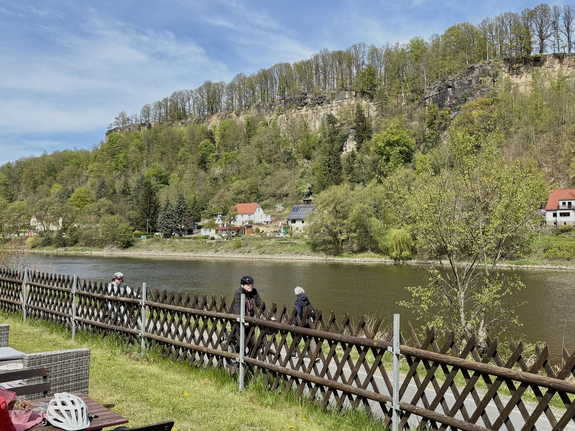
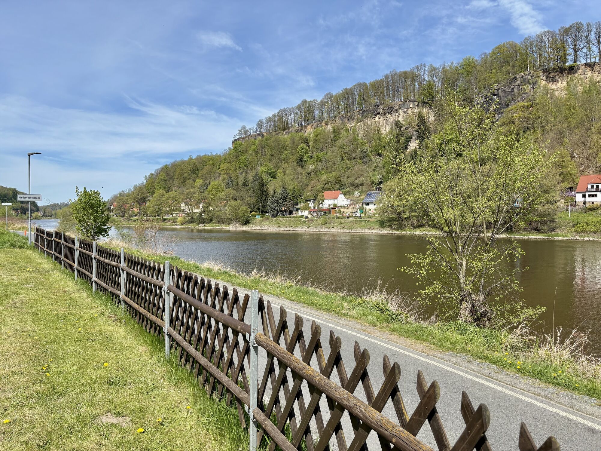
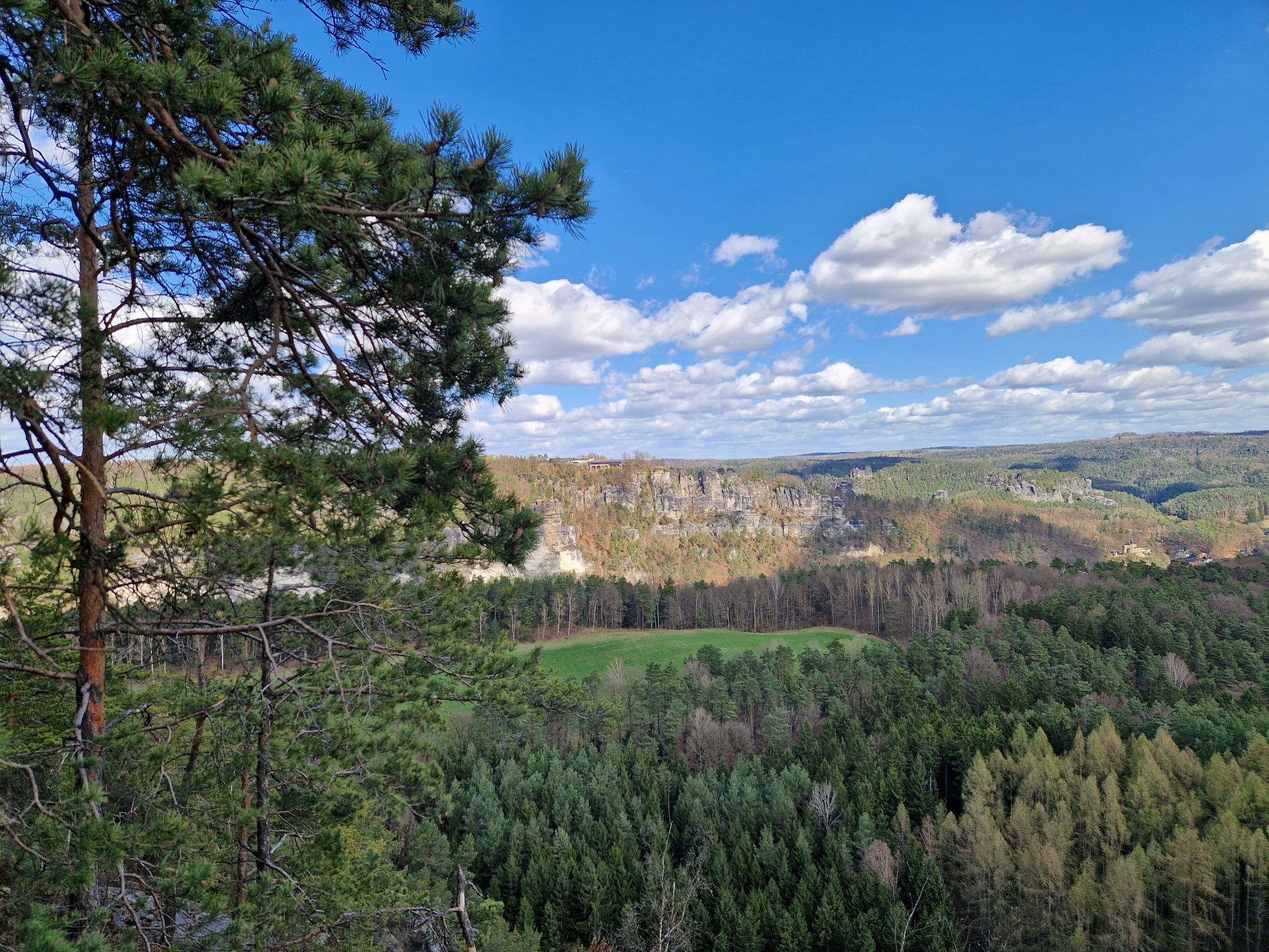
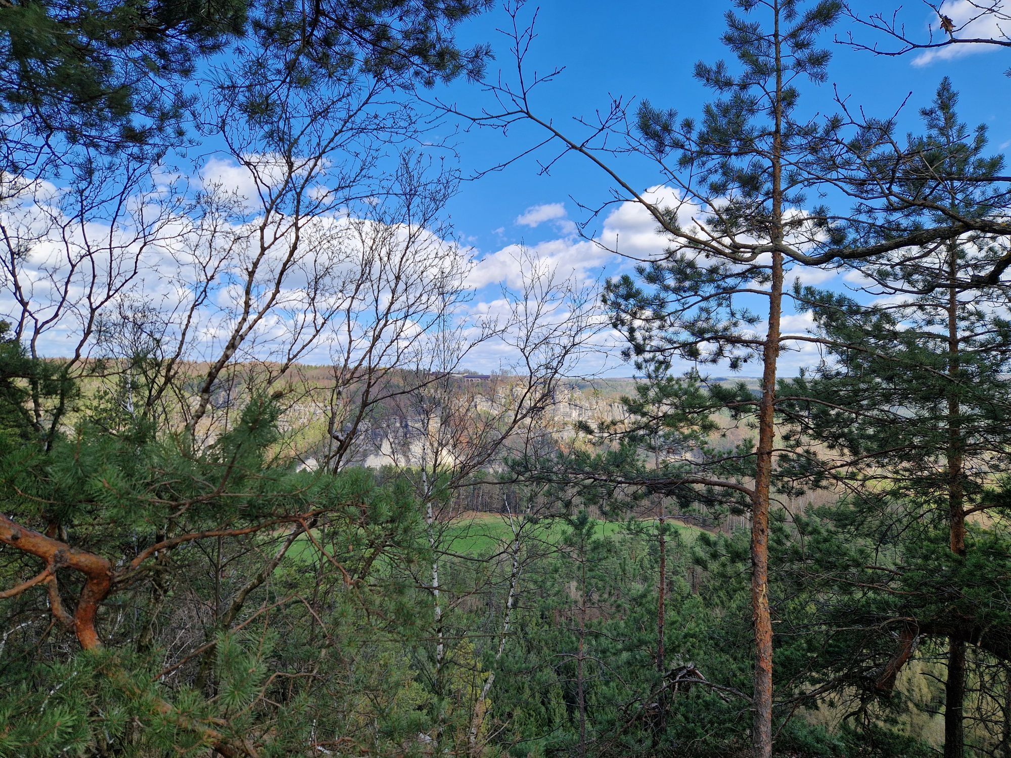
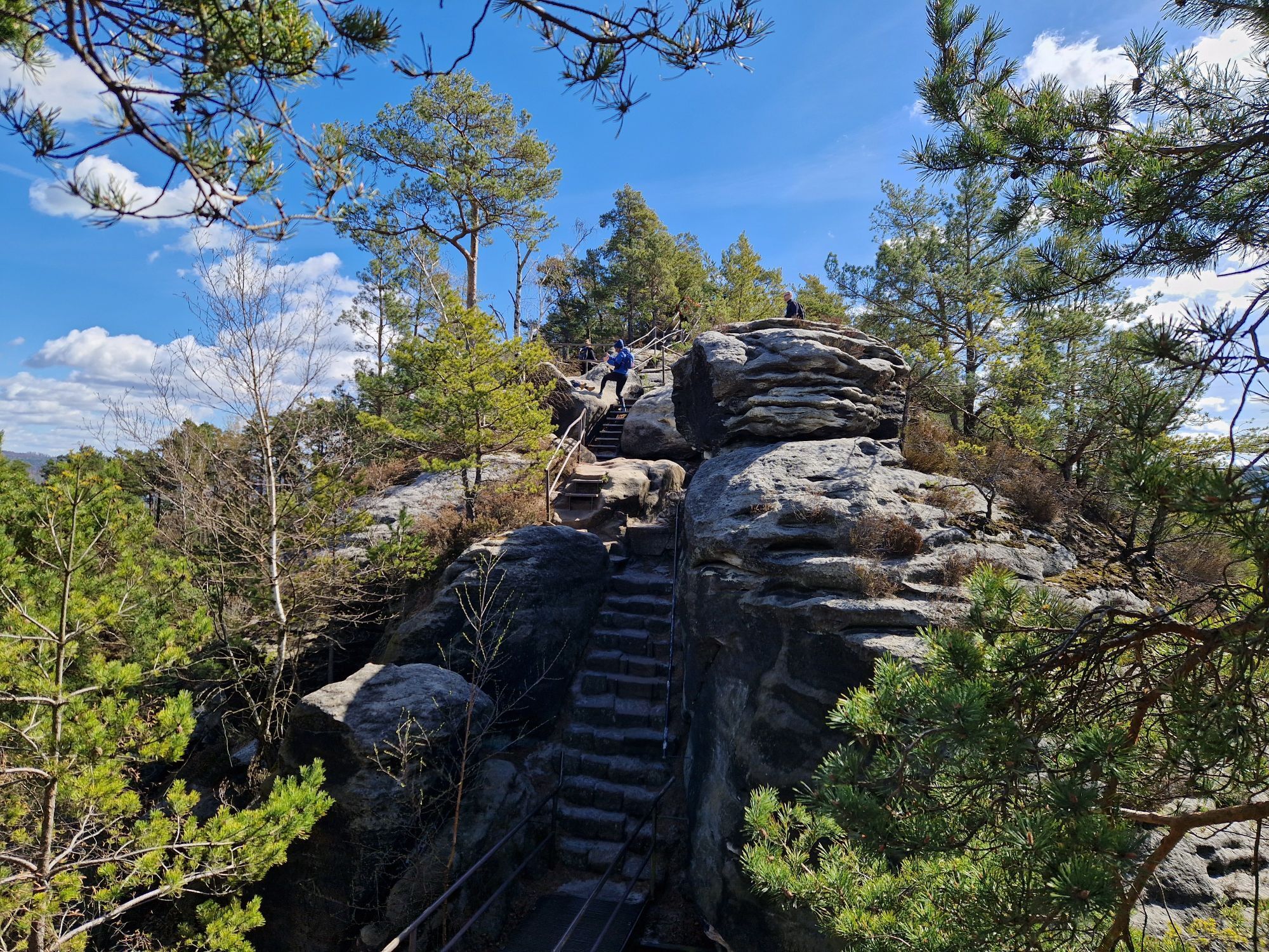

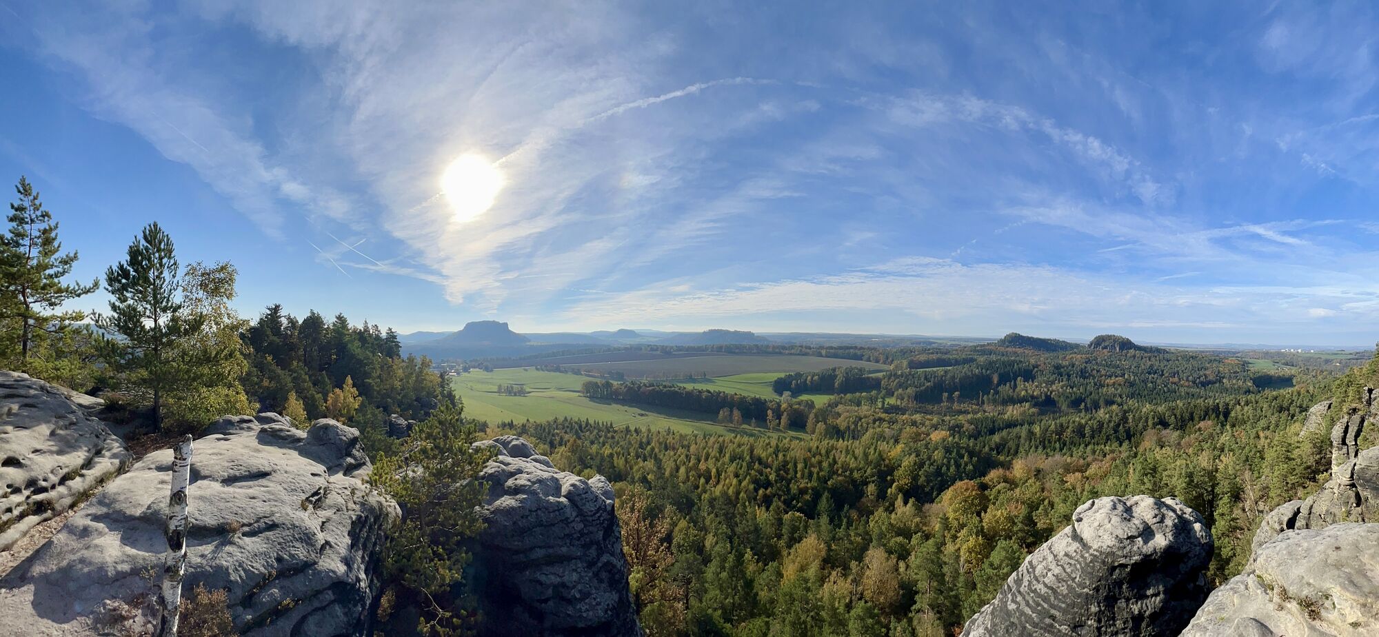
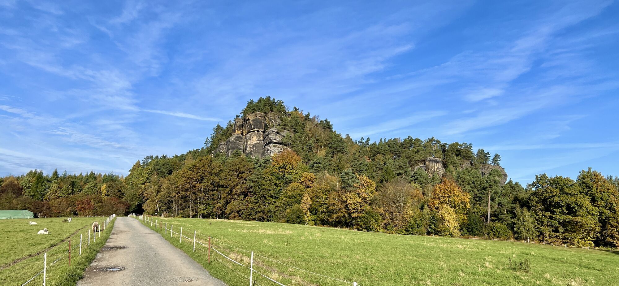
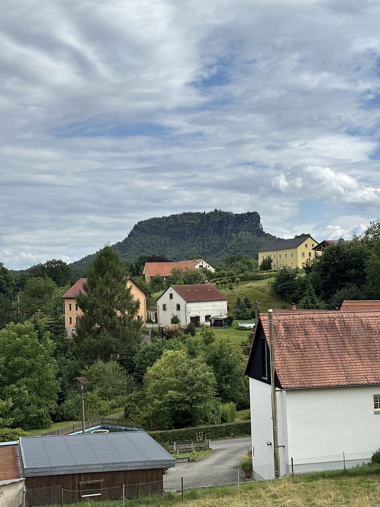
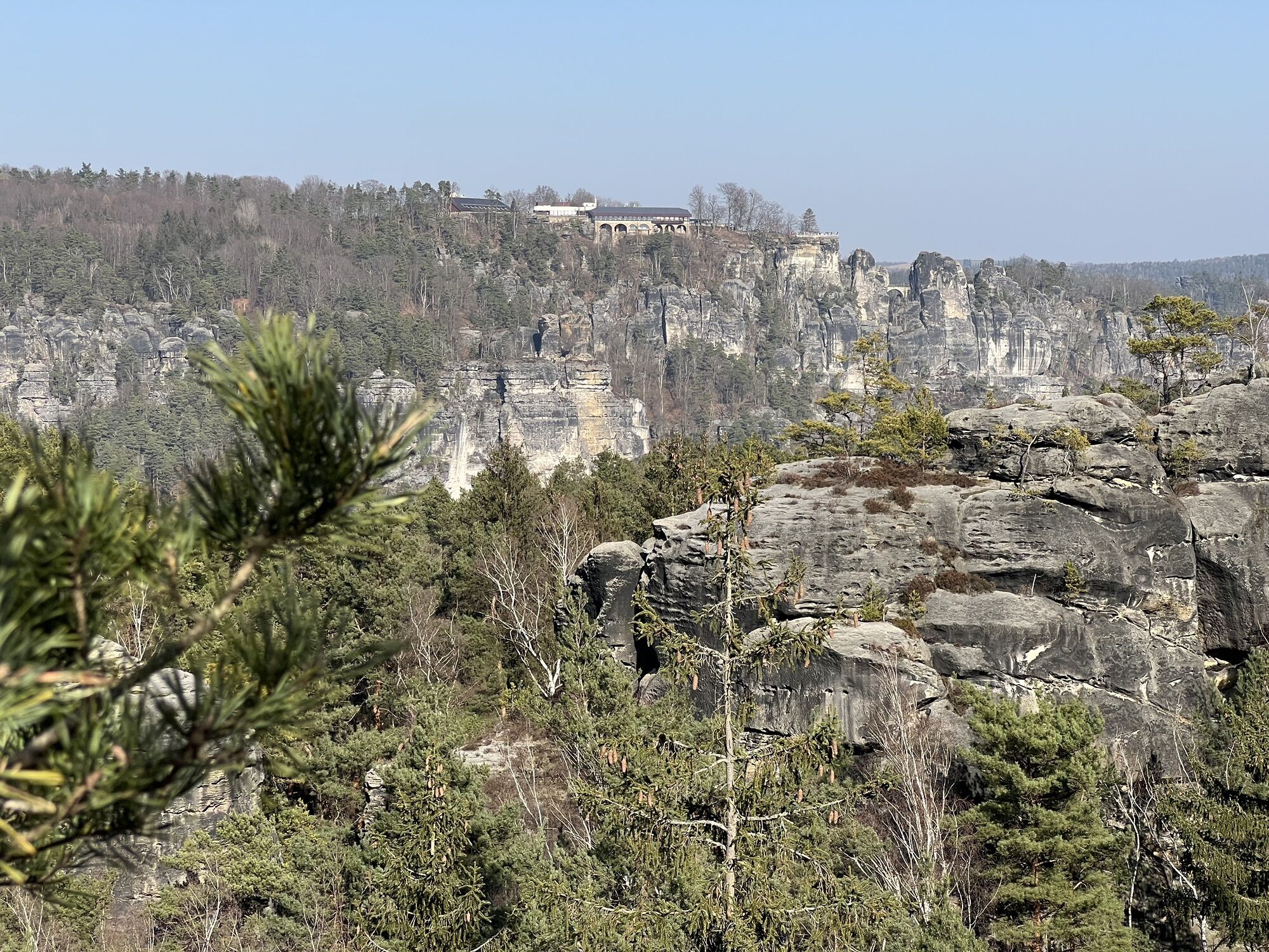
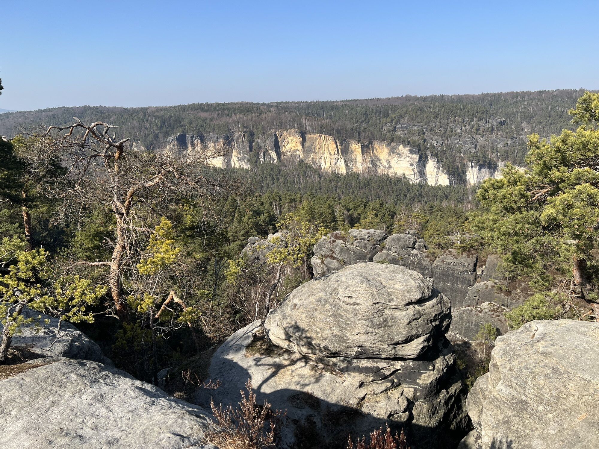
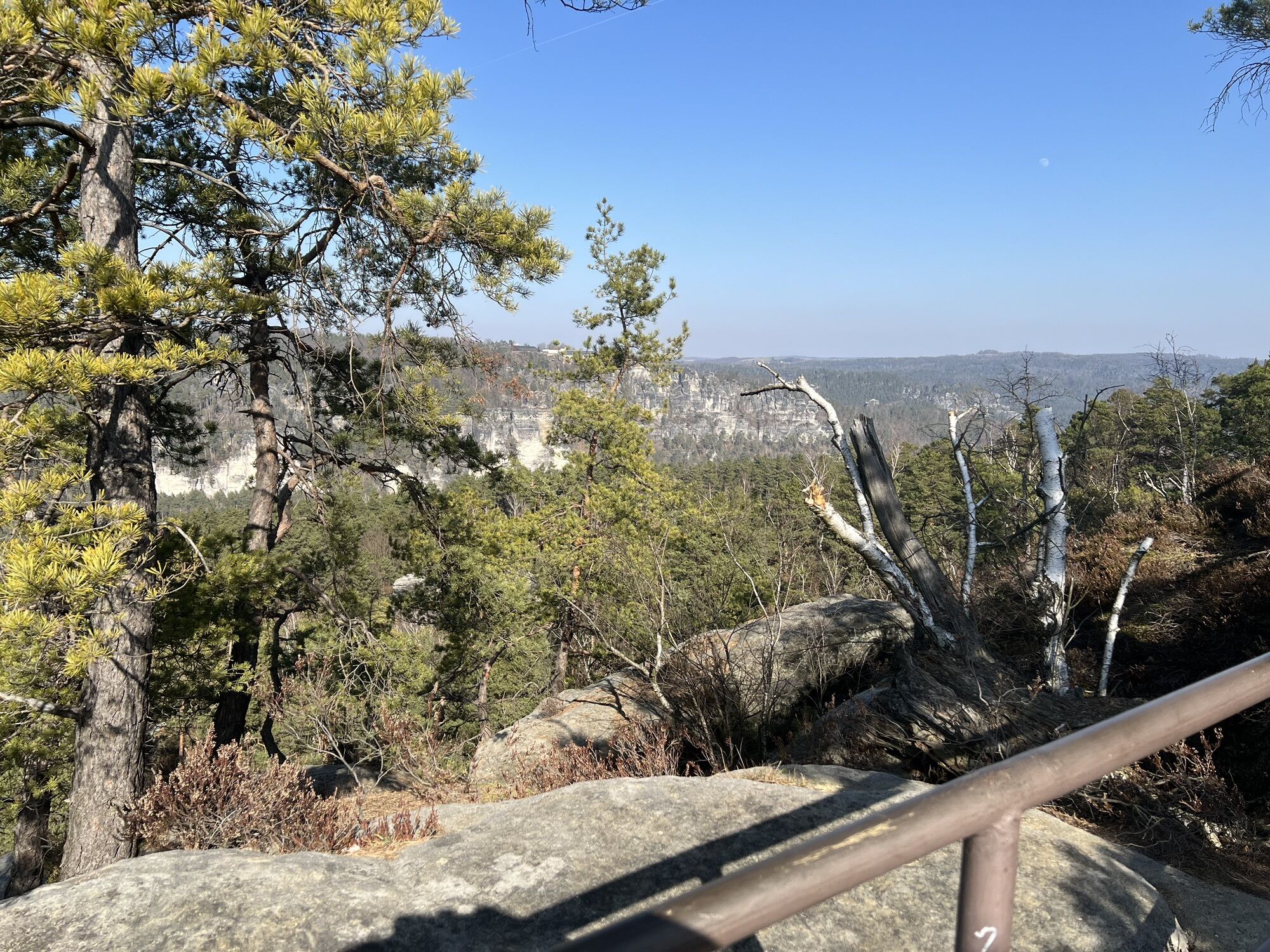
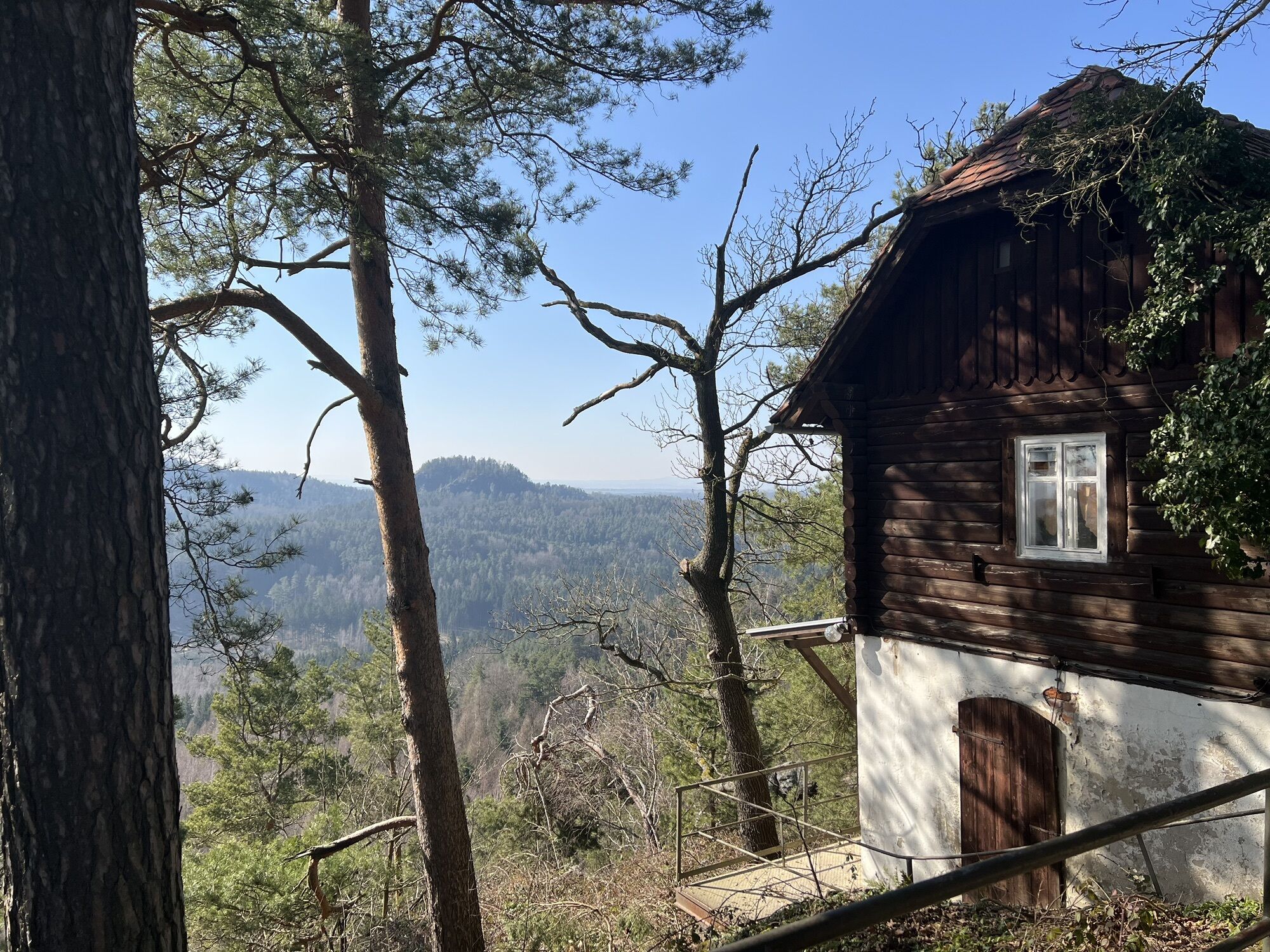
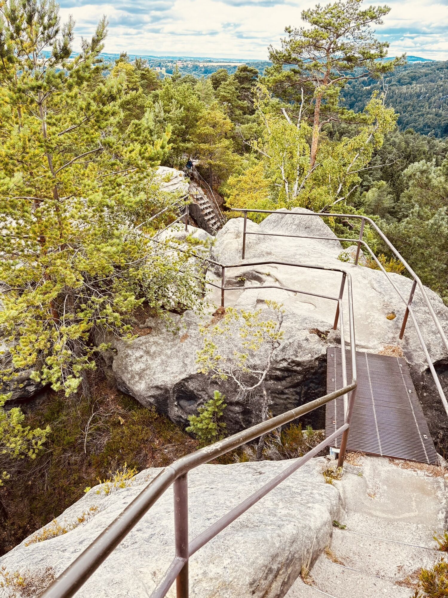
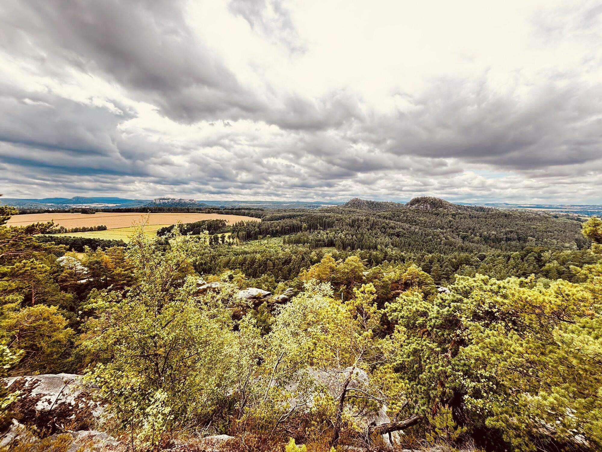
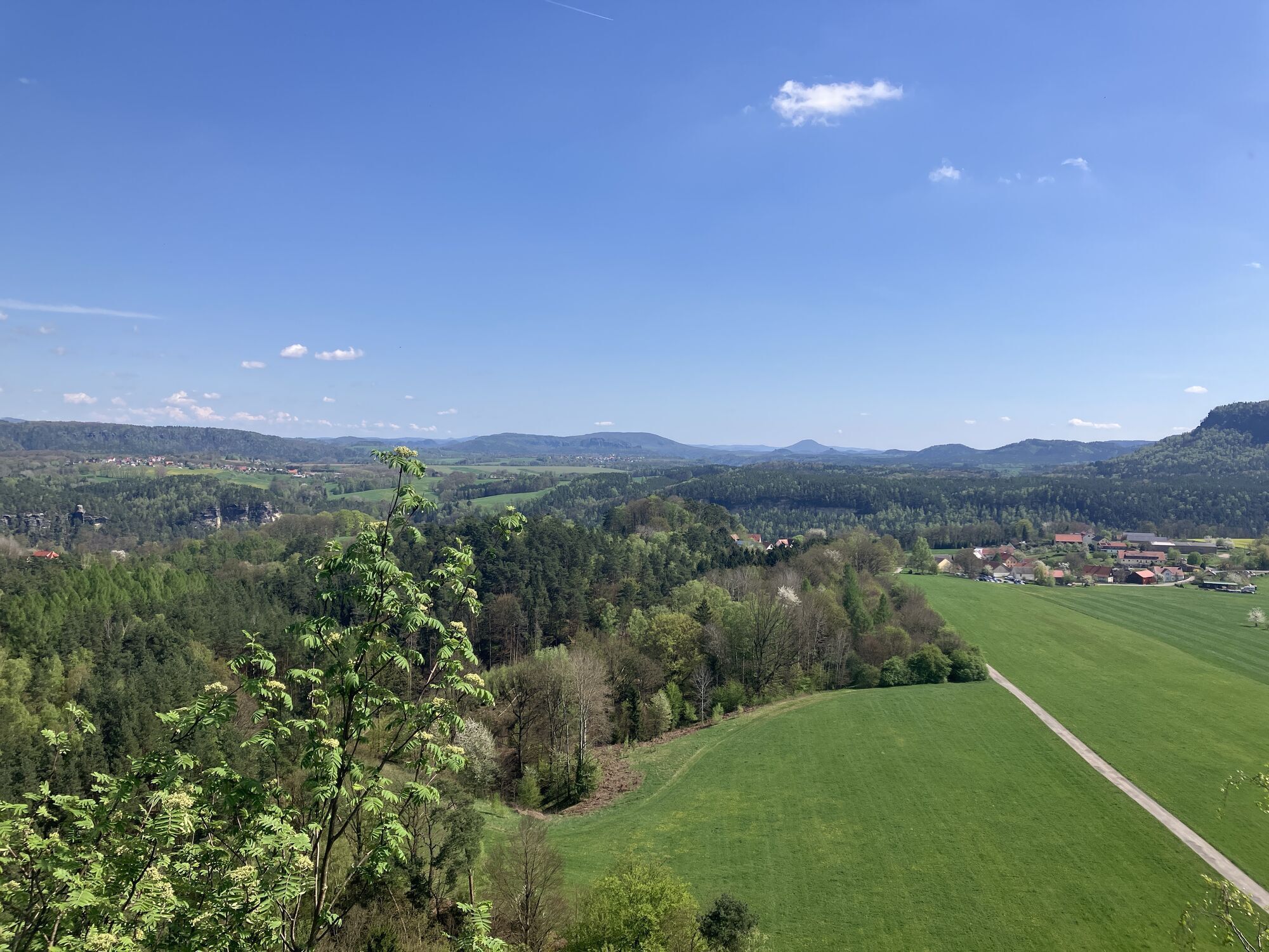
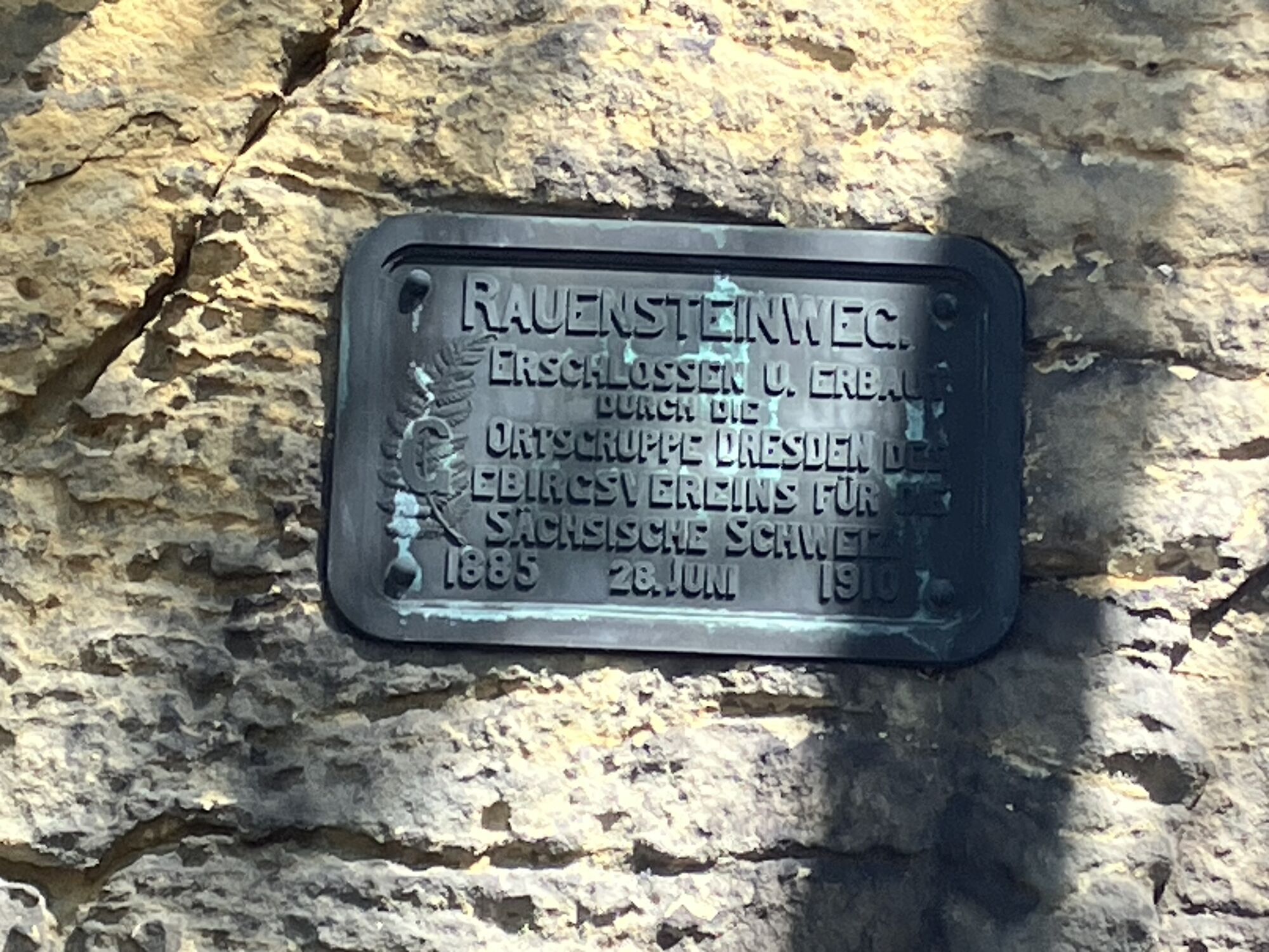
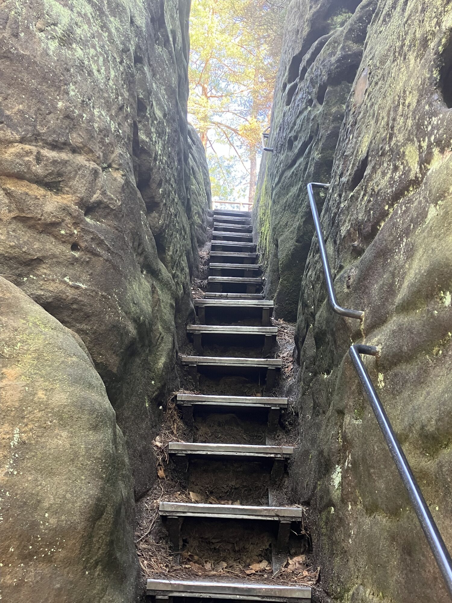
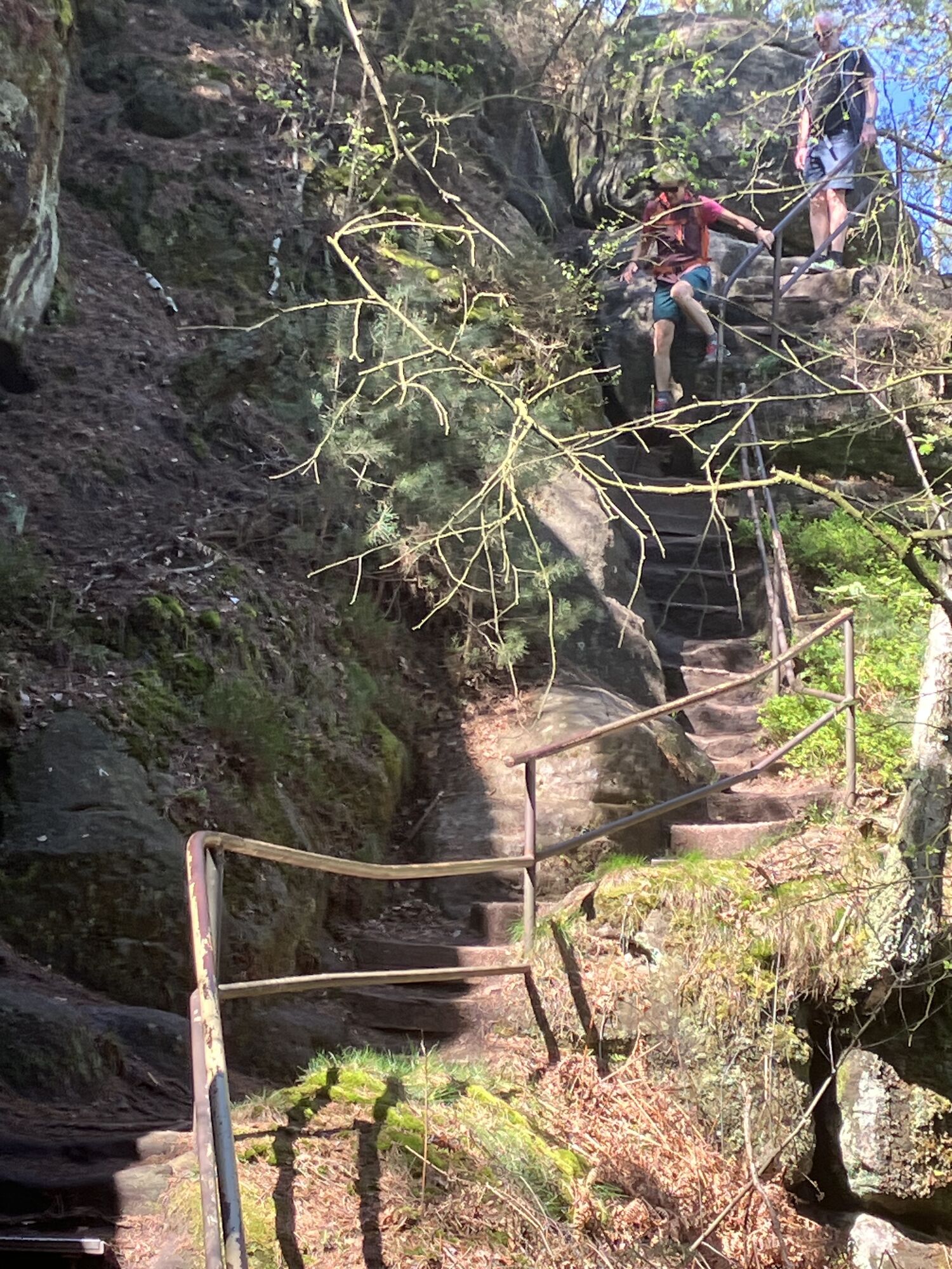
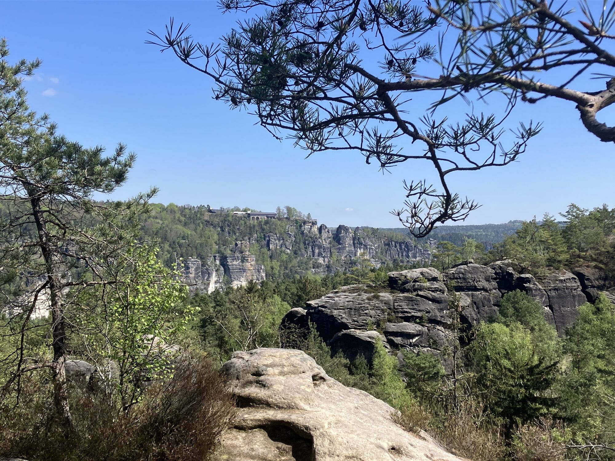
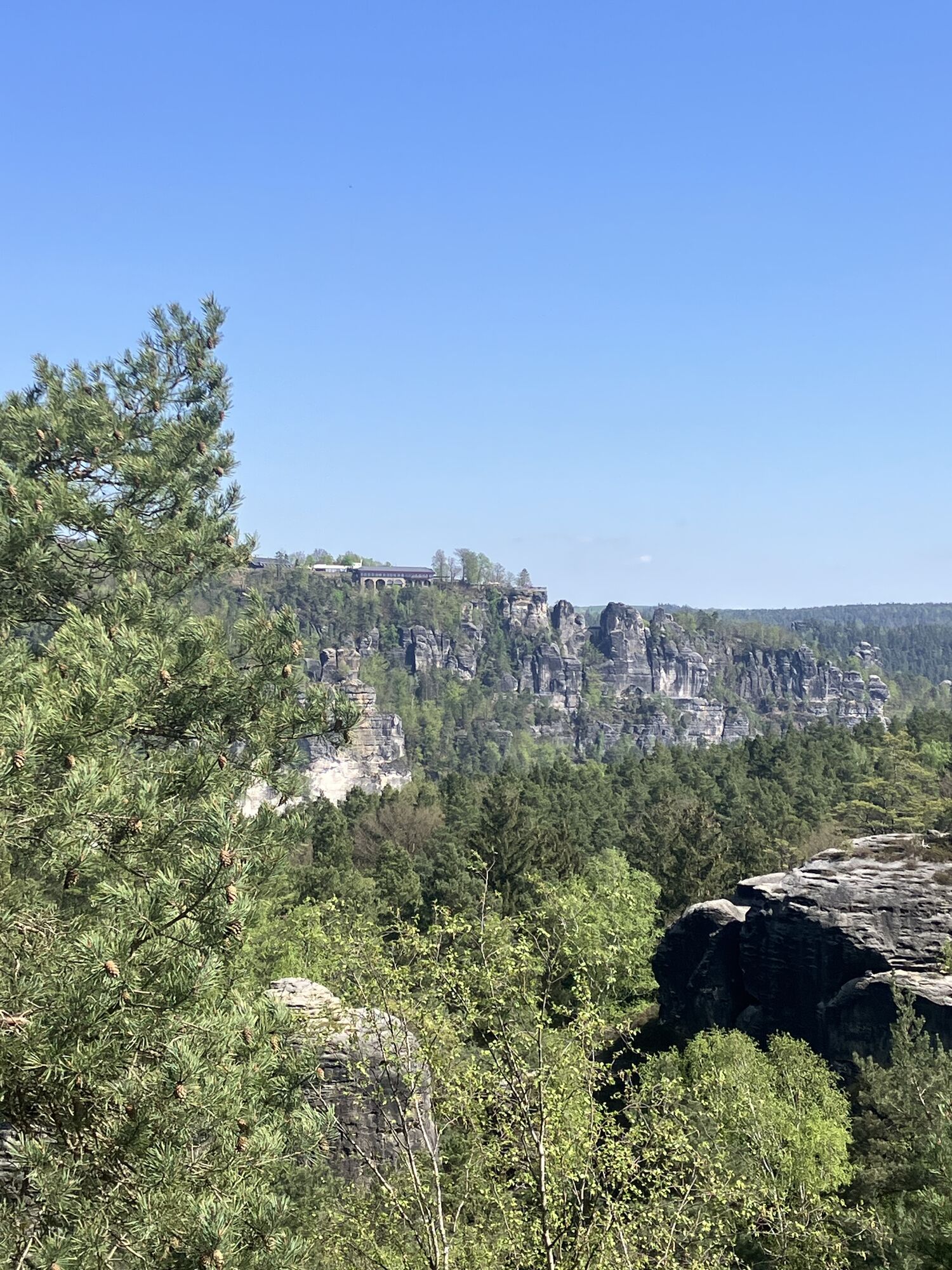
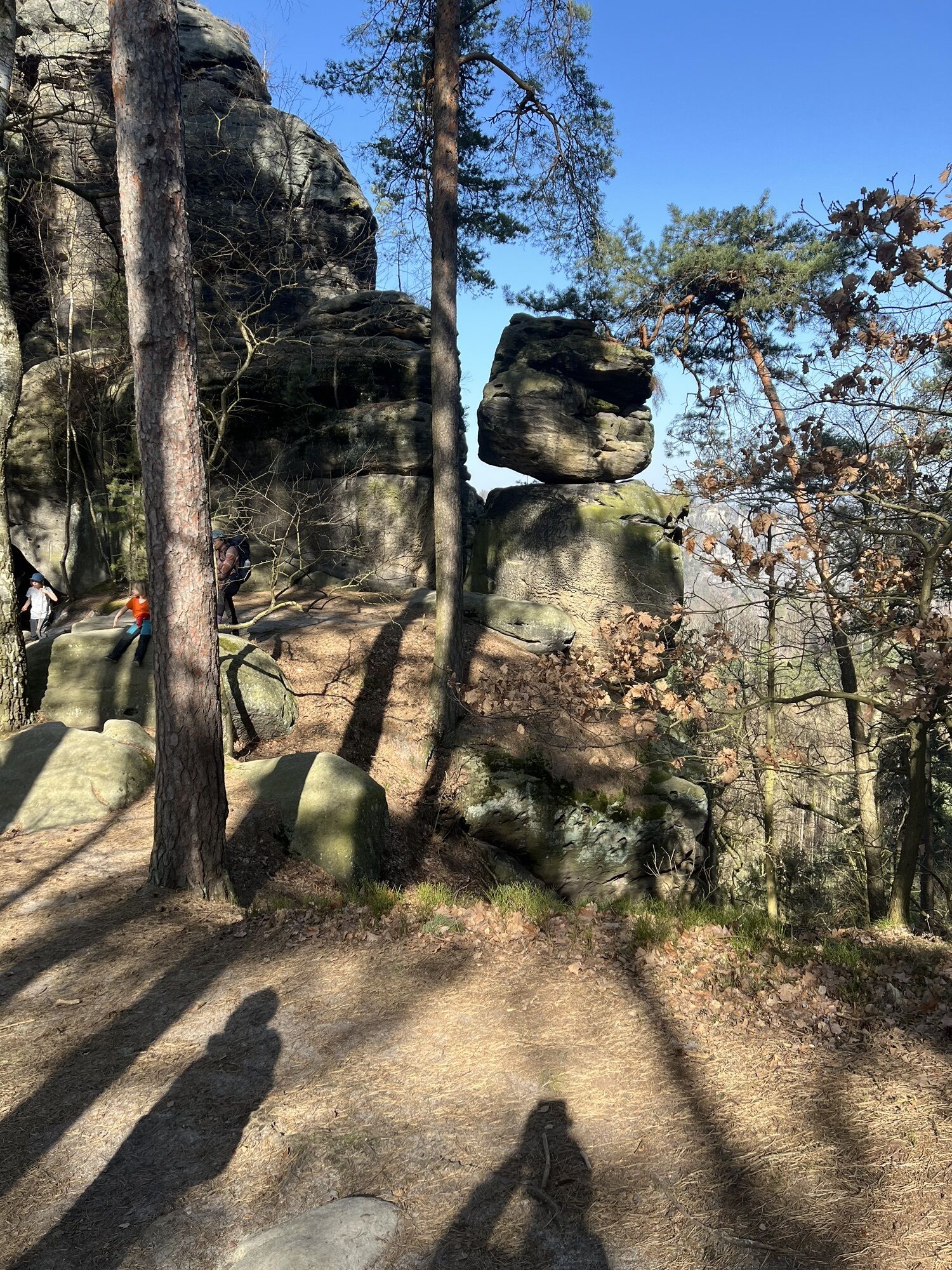
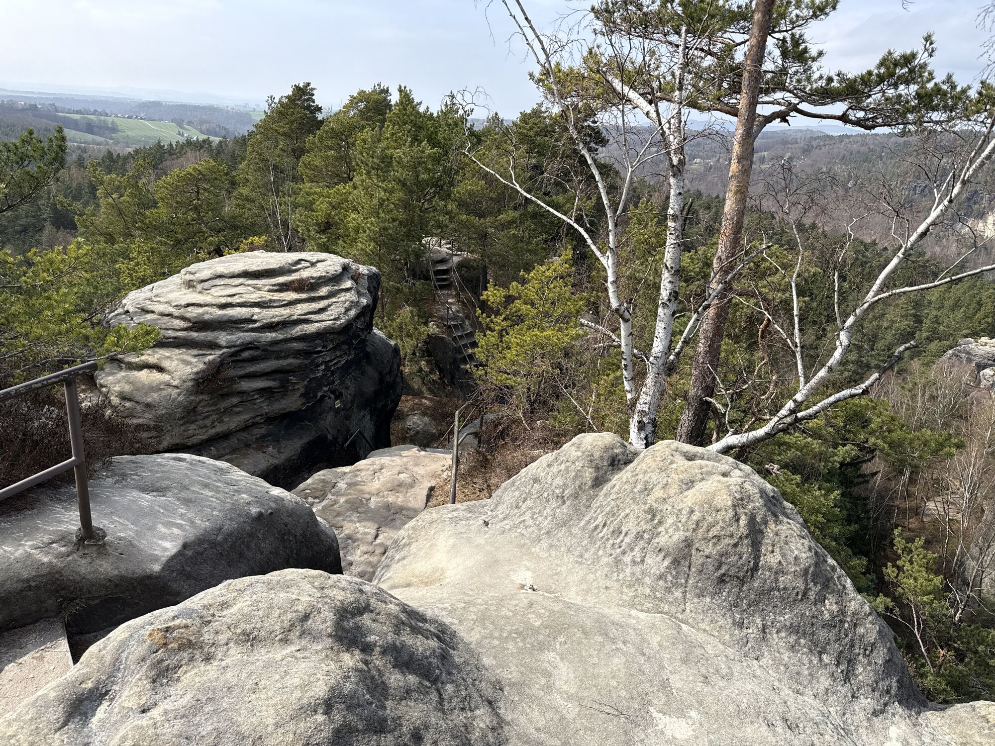
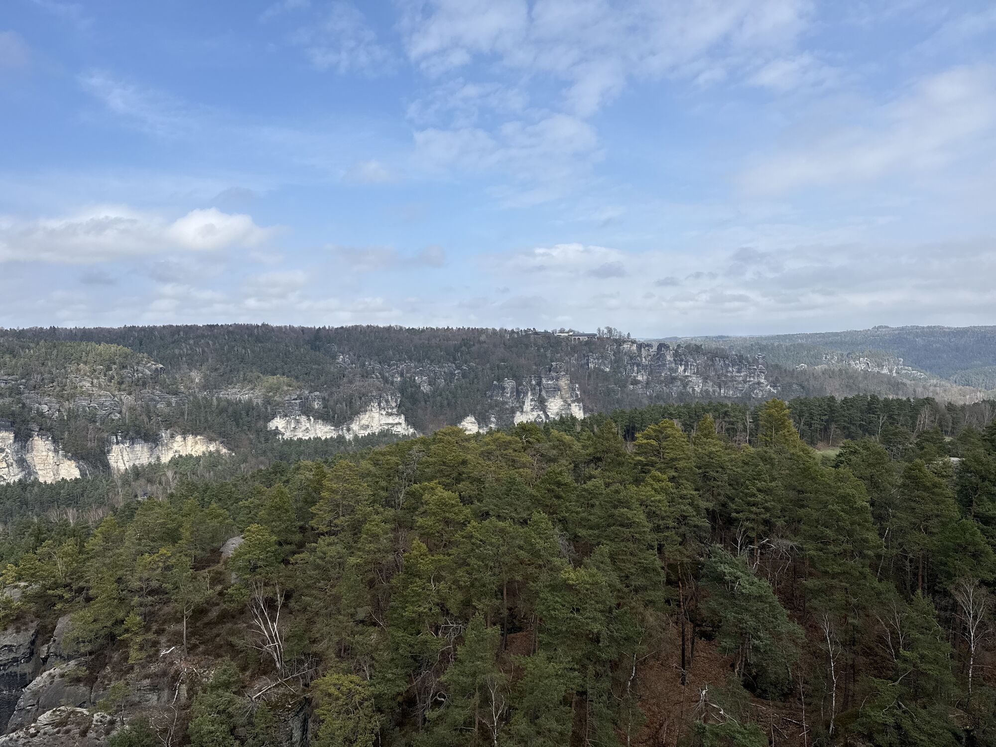
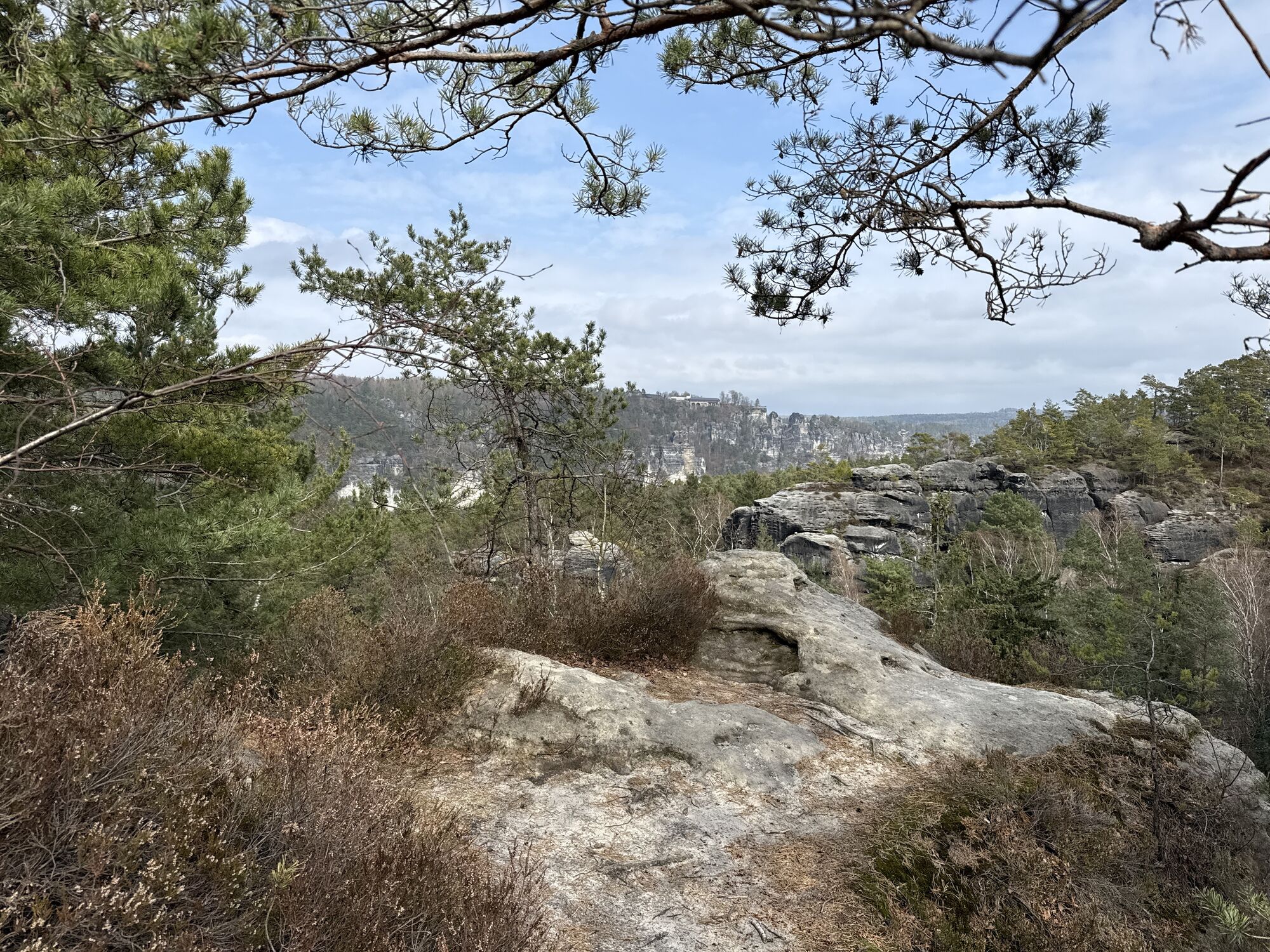
Weißig - Rauenstein - Rauenstein Gratweg - Wehlen-Pötzscha - Naundorf - Robert-Sterl-Haus- ehem. Steinbrüche (Alternativ: Panormaweg) - Königsnase - Obervogelgesang - Elberadweg - Pirna - Canalettoweg...
Weißig - Rauenstein - Rauenstein Gratweg - Wehlen-Pötzscha - Naundorf - Robert-Sterl-Haus- ehem. Steinbrüche (Alternativ: Panormaweg) - Königsnase - Obervogelgesang - Elberadweg - Pirna - Canalettoweg - Markt Pirna - Canalettohaus

GPS - data updated 2021
Order now: Malerweg-Shop
solid shoes required
Please note: in the Saxon Switzerland National Park, only marked trails may be used in the core zone! In case of violation, fines may be imposed.
The village is located on the eastern edge of the plateau, which is located in front of the Bärensteinen and the Rauenstein, on the left bank of the Elbe near Oberrathen and belongs to the municipality of Struppen. Struppen is accessible via the A17 , exit at the junction Pirna, continue on the B172 to the junction Struppen / Rathen or from the direction of Königstein on the B172 coming at the traffic circle Leupoldishain to reach.Arrived in Struppen drive on the K8734 further direction Weißig.
Parking lot - Weißig
Above Pirna's old town and below the former Sonnenstein fortress, a romantic walkway runs between tall, old trees. Long ago, the local people named it Canalettoweg to commemorate the famous artist. However, it is not known whether the Venetian, who painted Pirna in twelve views for the Dresden court around 1752, ever walked along it.
Obtenez un aperçu
Toujours en direct avec plus de 9.500 webcams. En tant qu'utilisateur Pro, vous pouvez désormais voir les webcams correspondantes à de nombreuses randonnées dans l'application de randonnées de bergfex. Vous pouvez ainsi voir directement les conditions actuelles.
Parcours populaires à proximité
-
4,7
Rathen / Hockstein / Bastei / Rathen
moyenRandonnée 14,4 km -
4,6
Von Rathewalde zur Bastei
Randonnée 12,8 km -
4,7
Rundwanderung Bastei Schwendenlöcher -Amselsee
facileRandonnée 6,21 km -
4,7
Pfaffenstein Sachsen/Deutschland
moyenRandonnée 3,89 km -
5,0
Basteibrücke
facileRandonnée 2,31 km -
5,0
Lilienstein
facileRandonnée 3,75 km -
4,4
Kurort Rathen: Große Bastei-Runde
moyenRandonnées d'hiver 4,75 km -
4,8
Bad Schandau, Schrammsteinrunde
moyenRandonnée 11,0 km -
4,6
Caspar-David-Friedrich-Weg
moyenRandonnée 15,1 km -
4,9
Polenztal-Runde
moyenRandonnées d'hiver 13,9 km
Randonnée et suivi


Ne manquez pas les offres et l'inspiration pour vos prochaines vacances
Votre adresse électronique a été ajouté à la liste de diffusion.





