






From Porschdorf through the Polenz Valley to Rathen
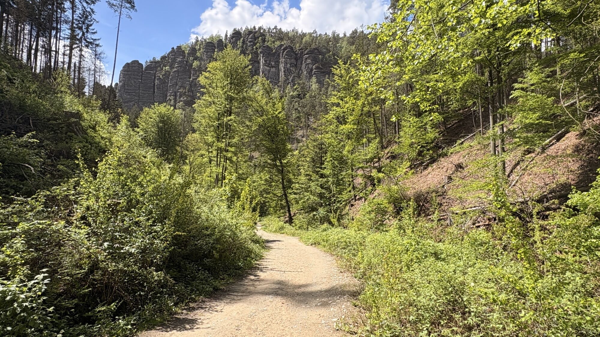
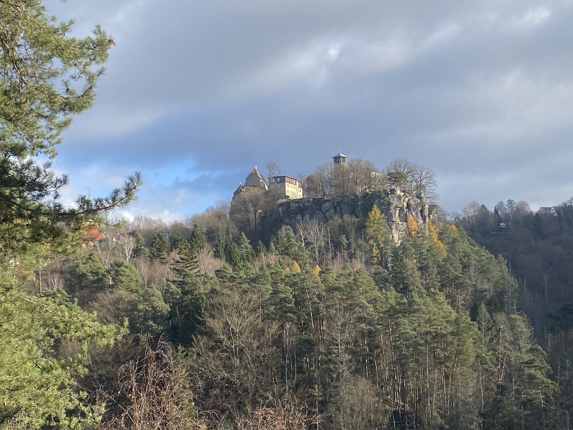
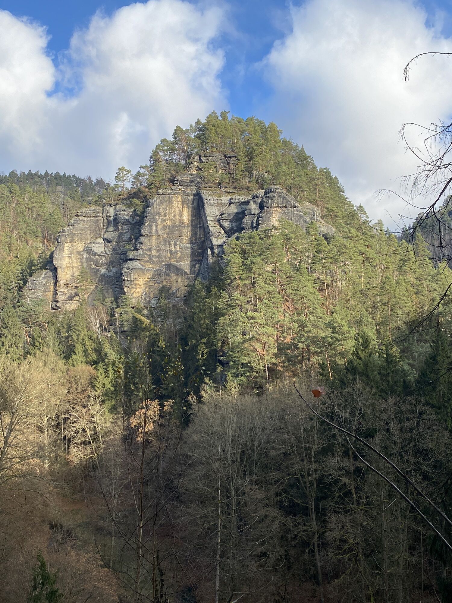
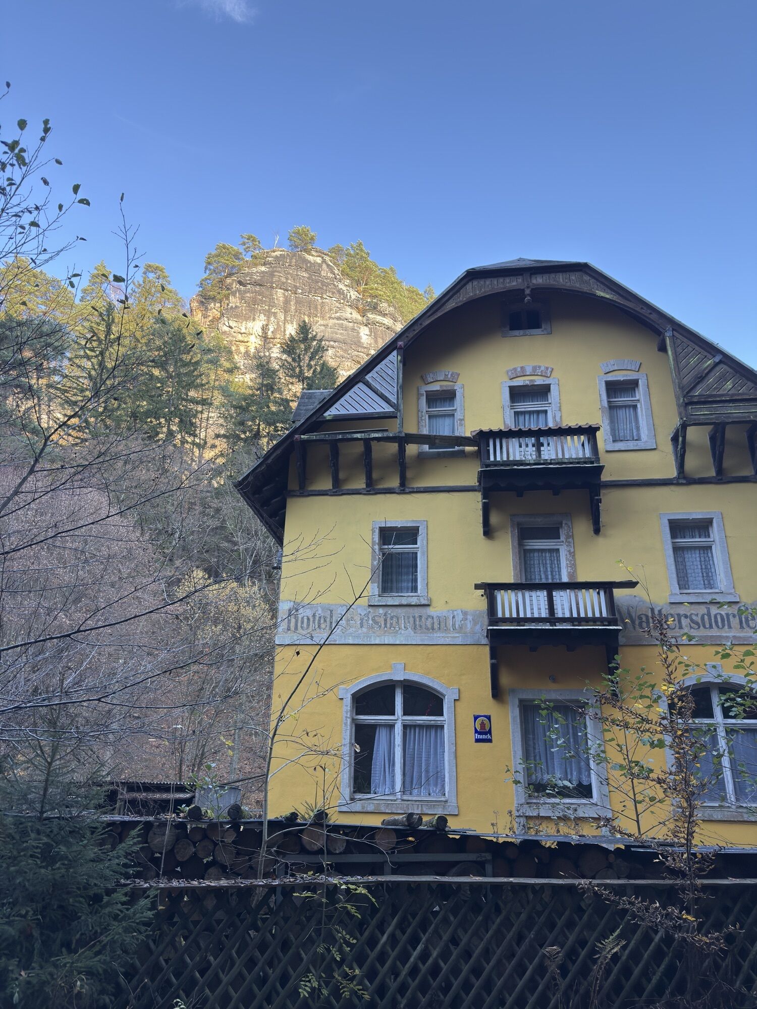
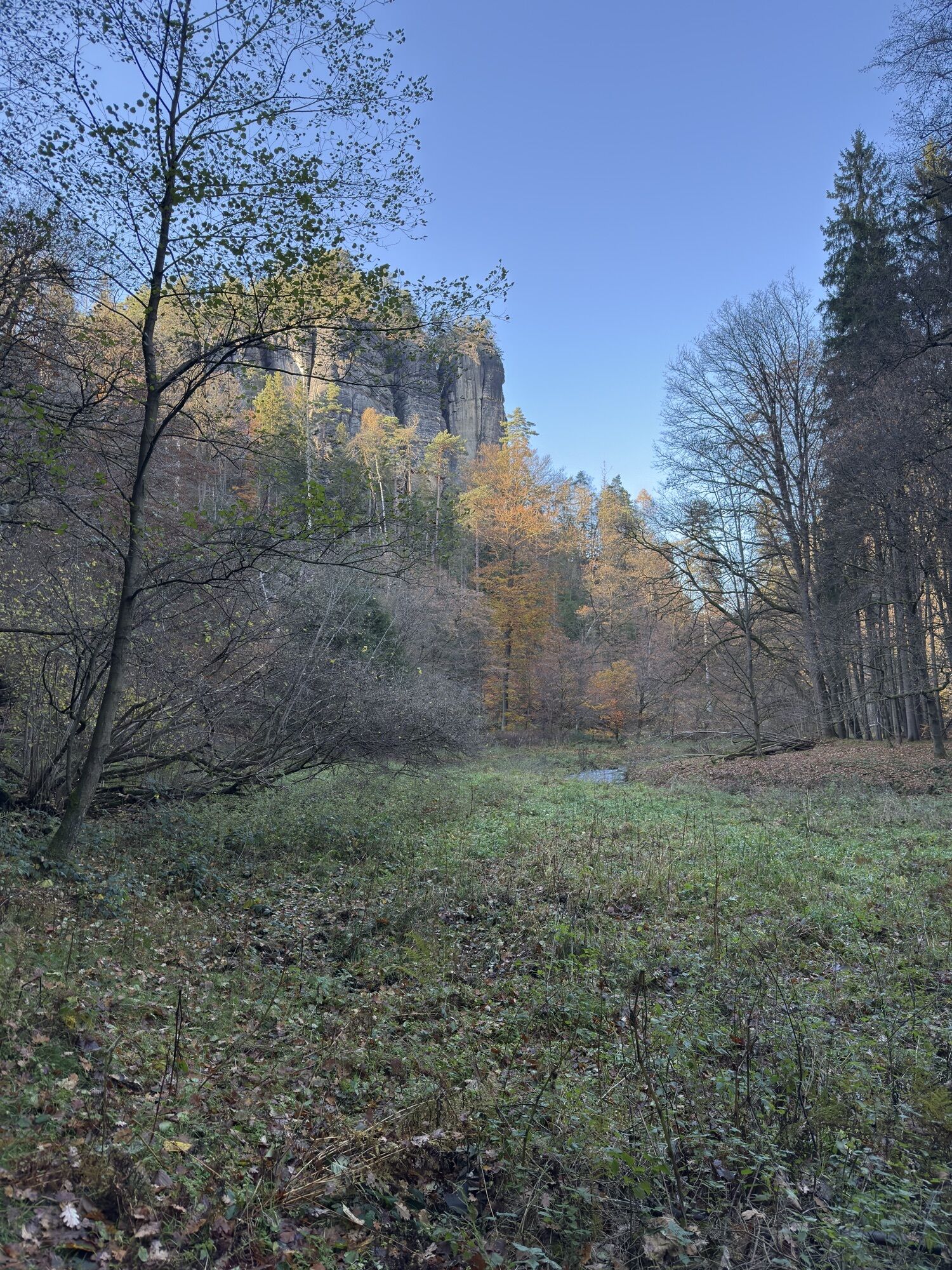
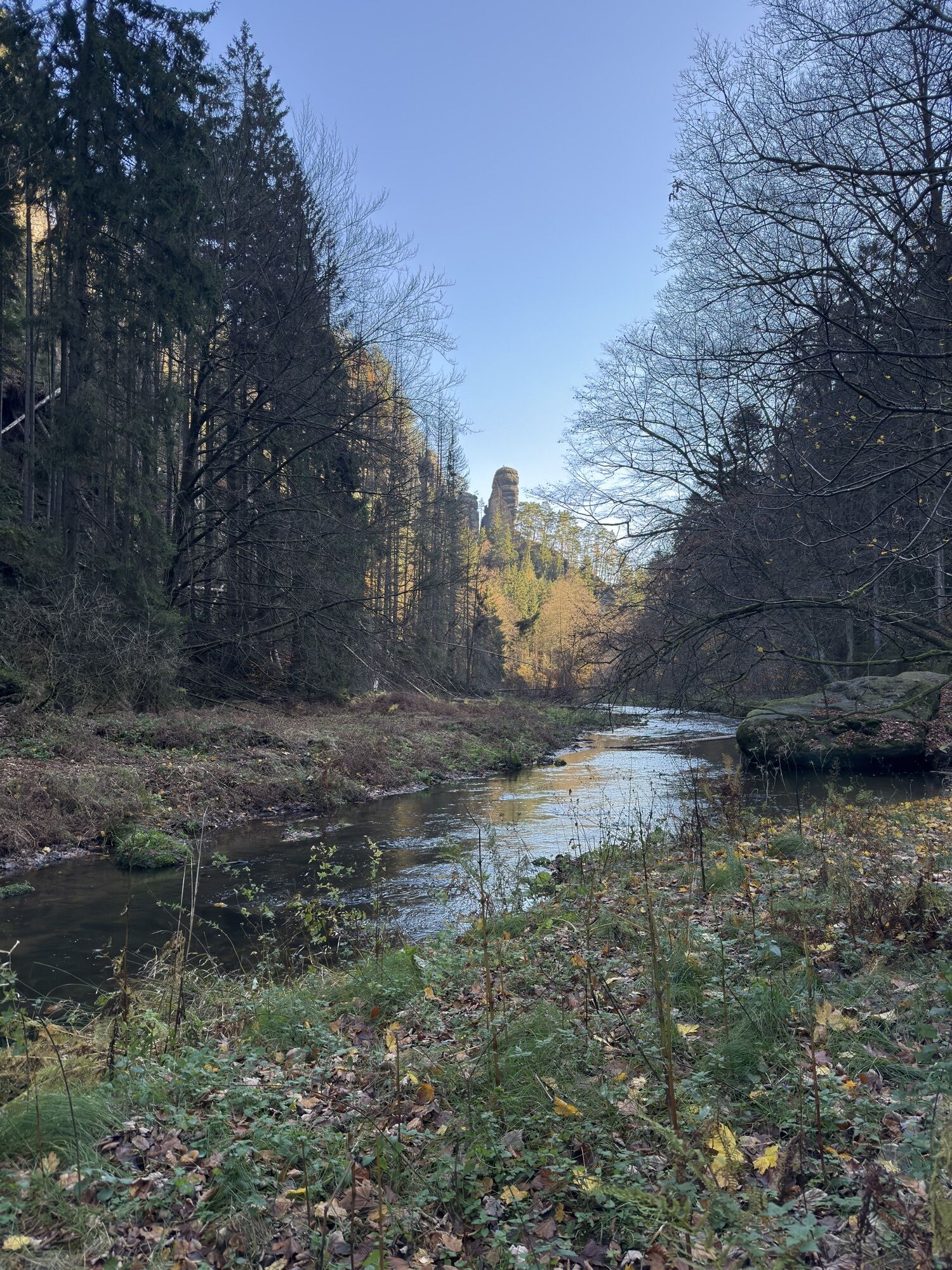
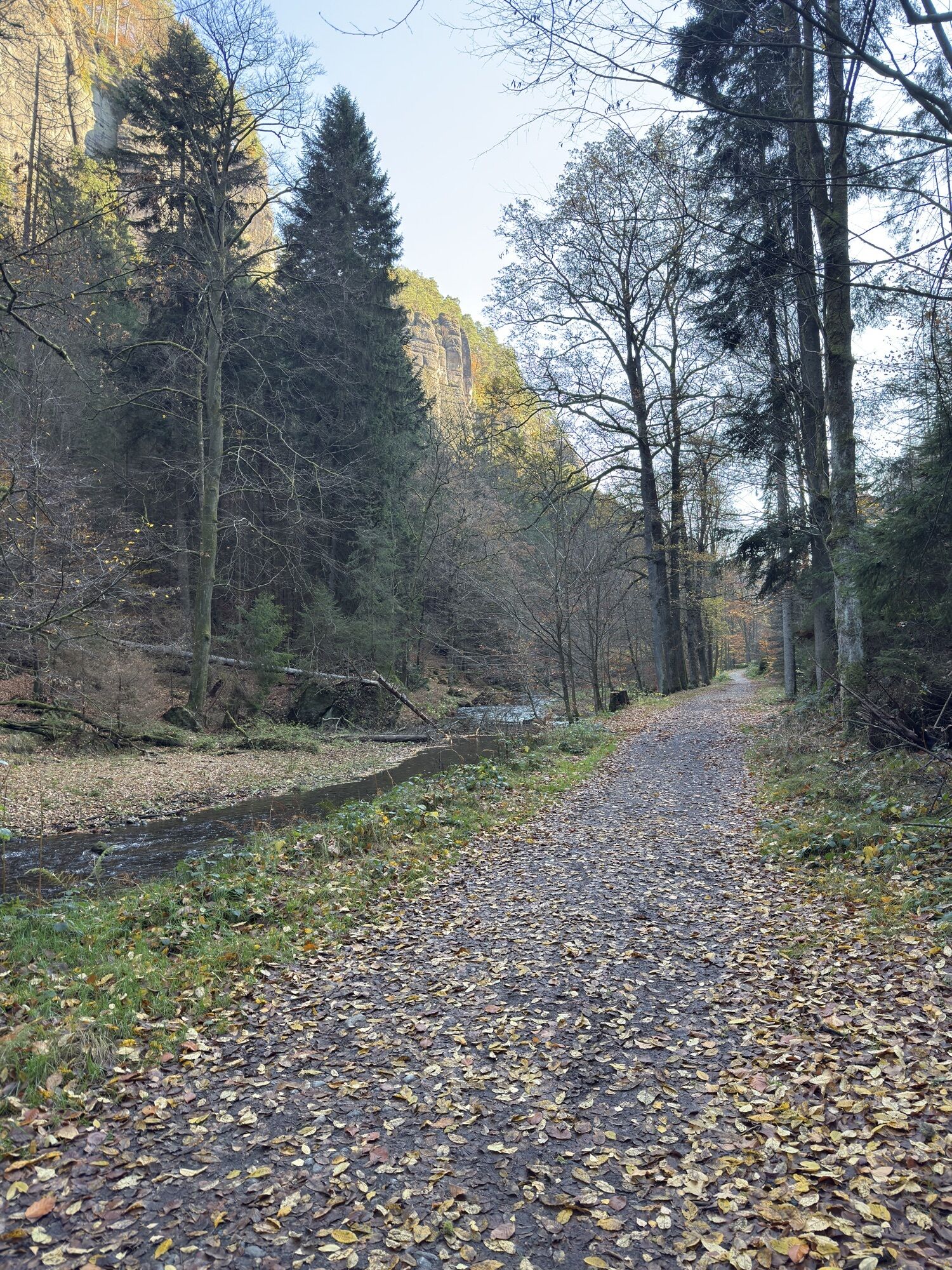


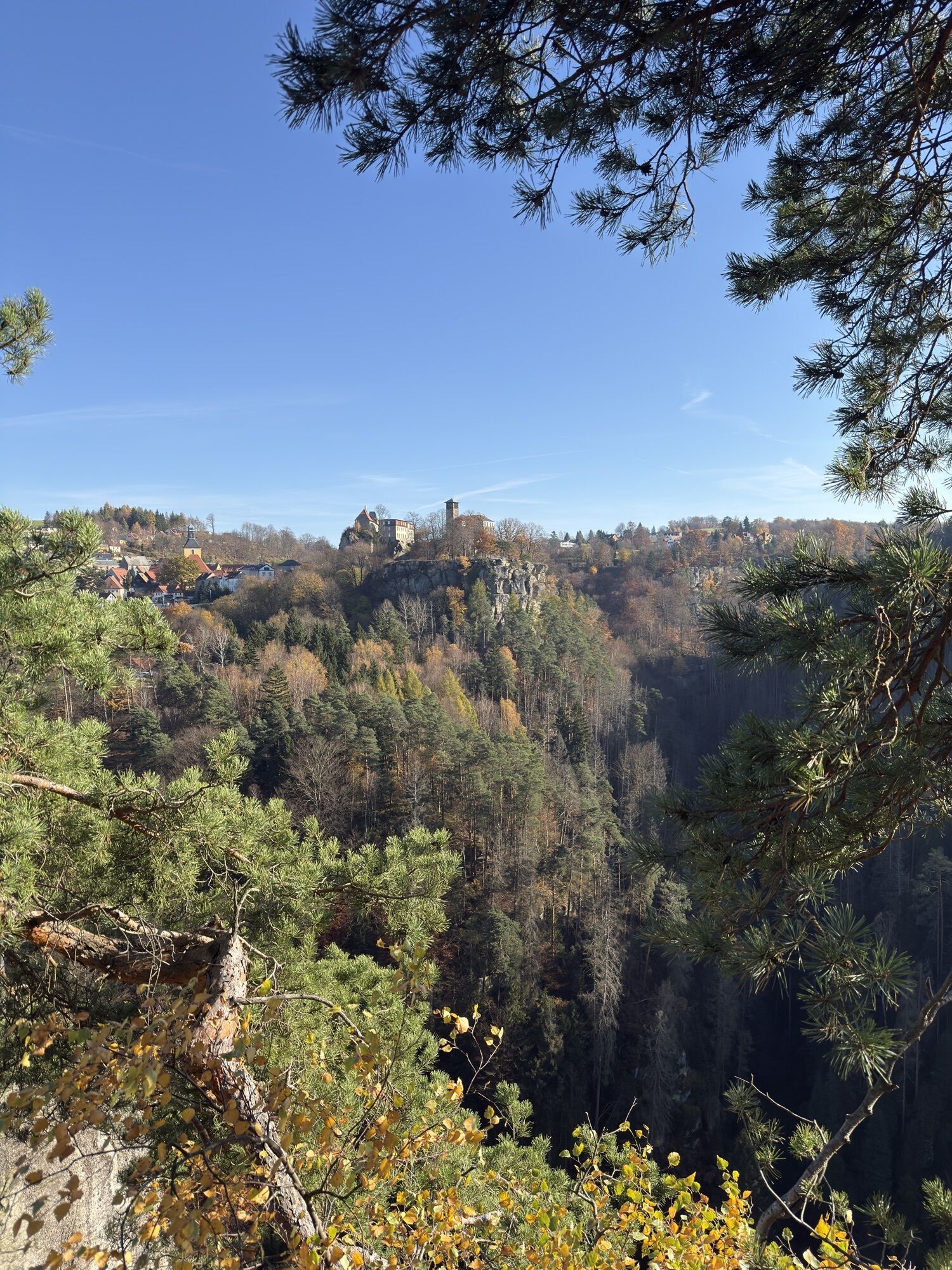
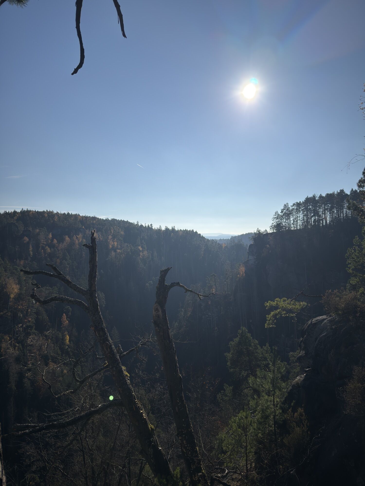
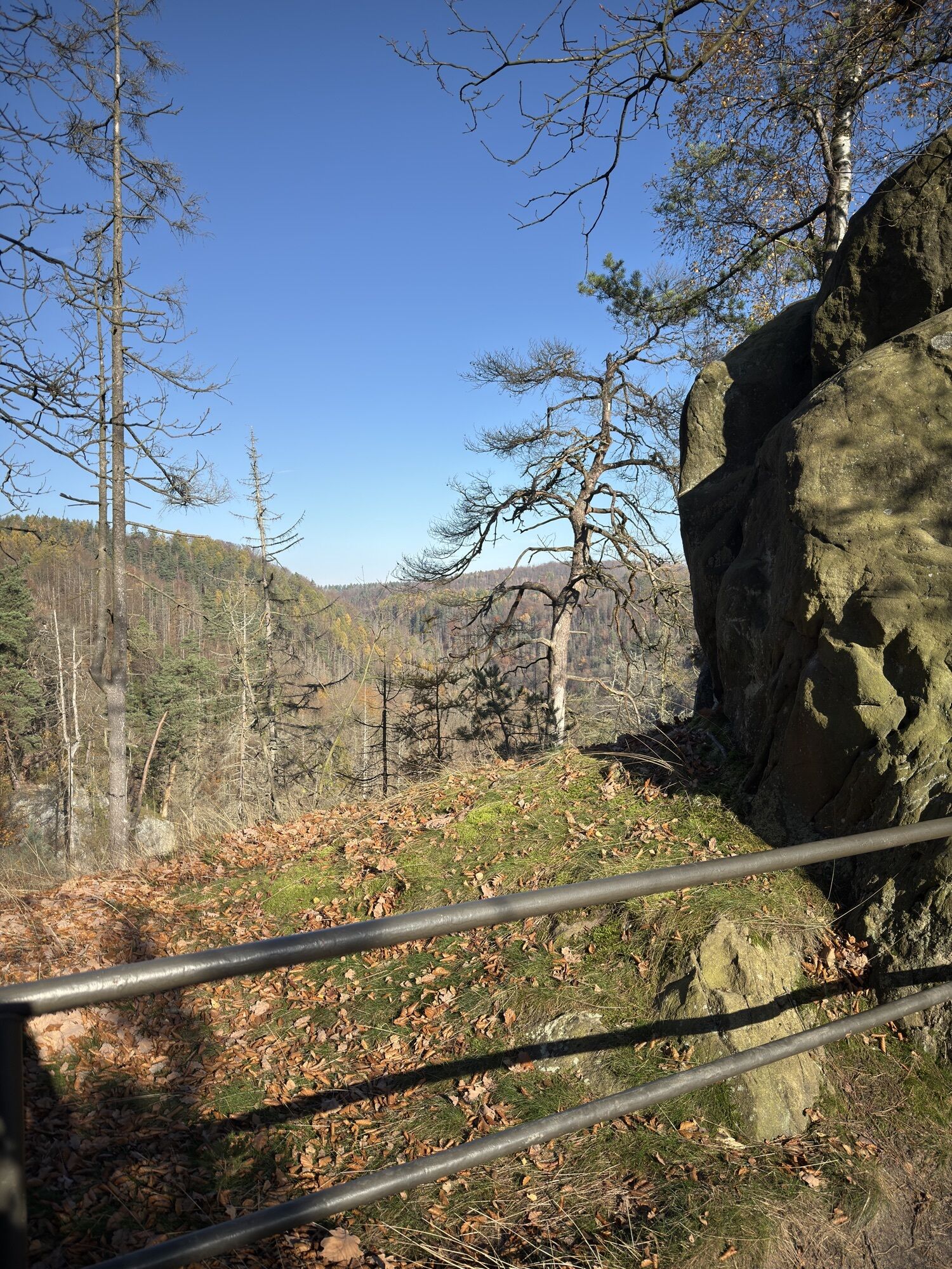
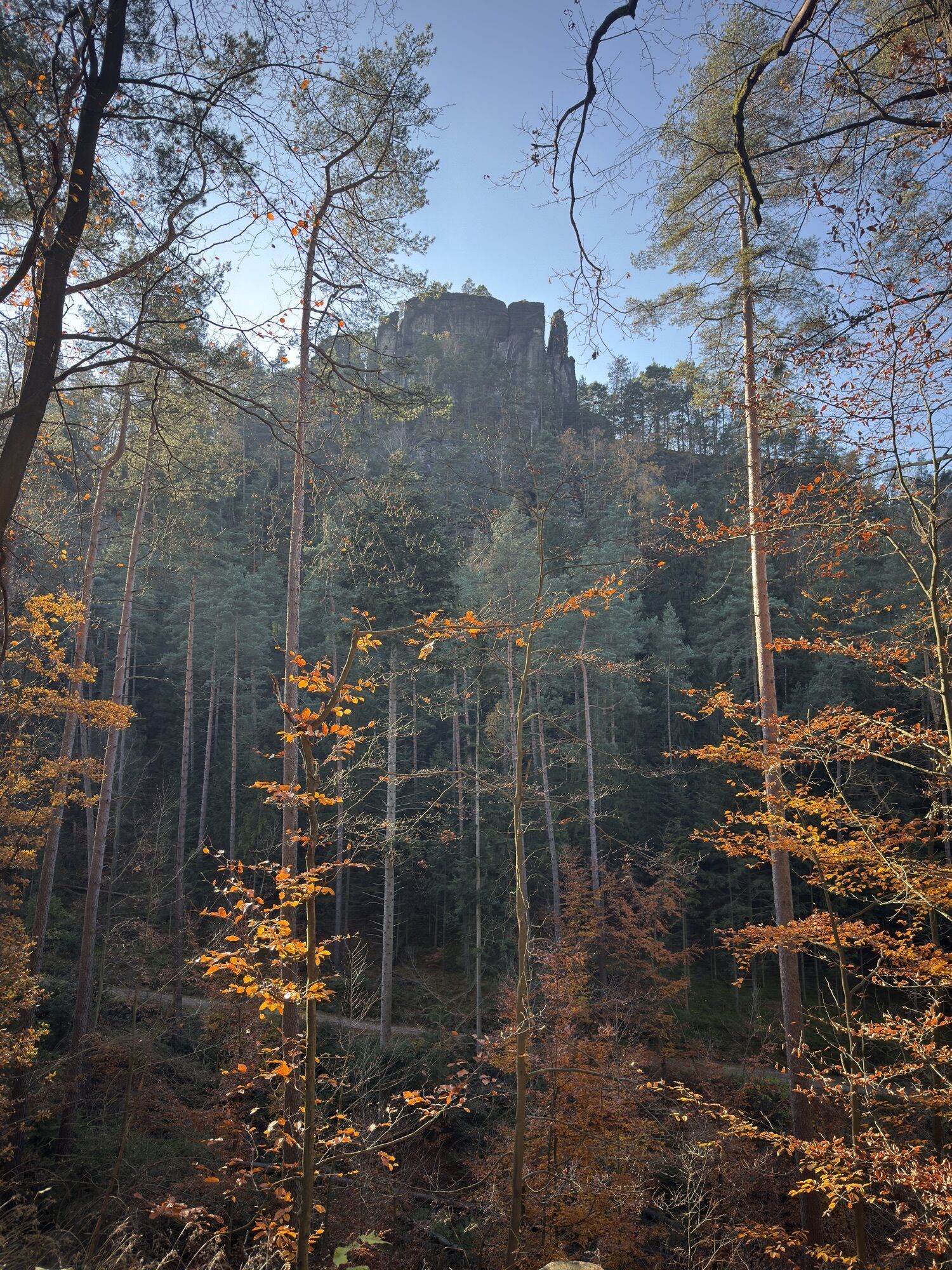
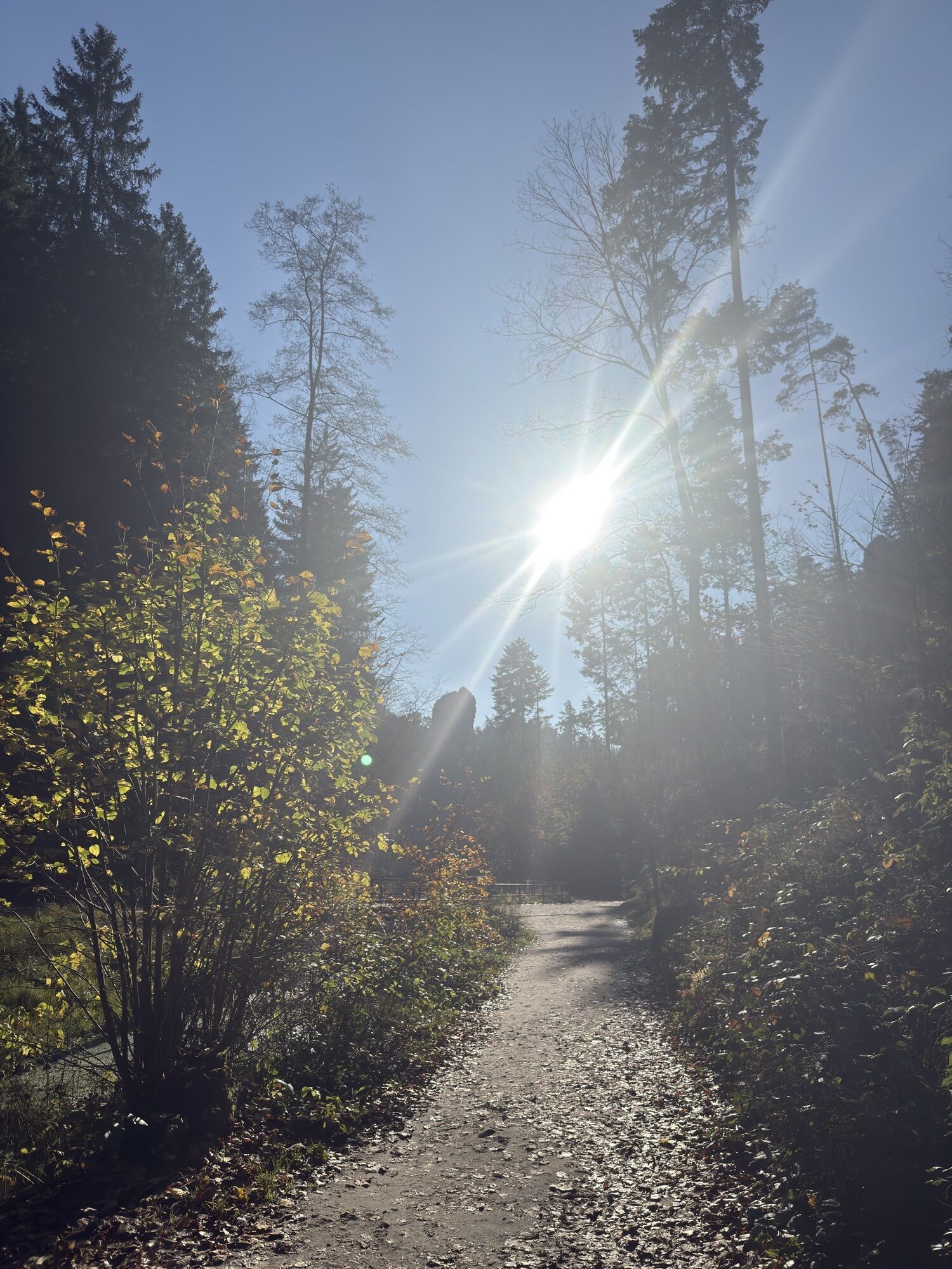
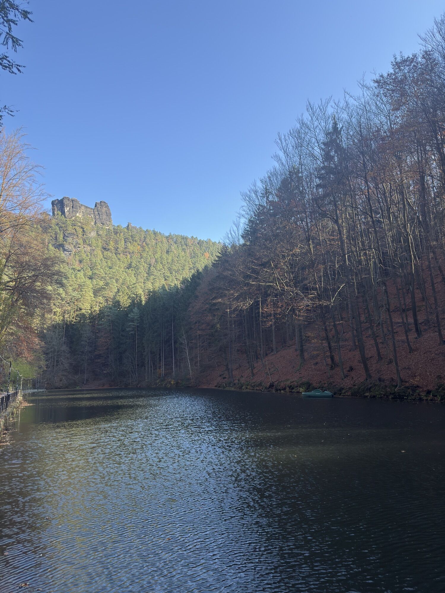
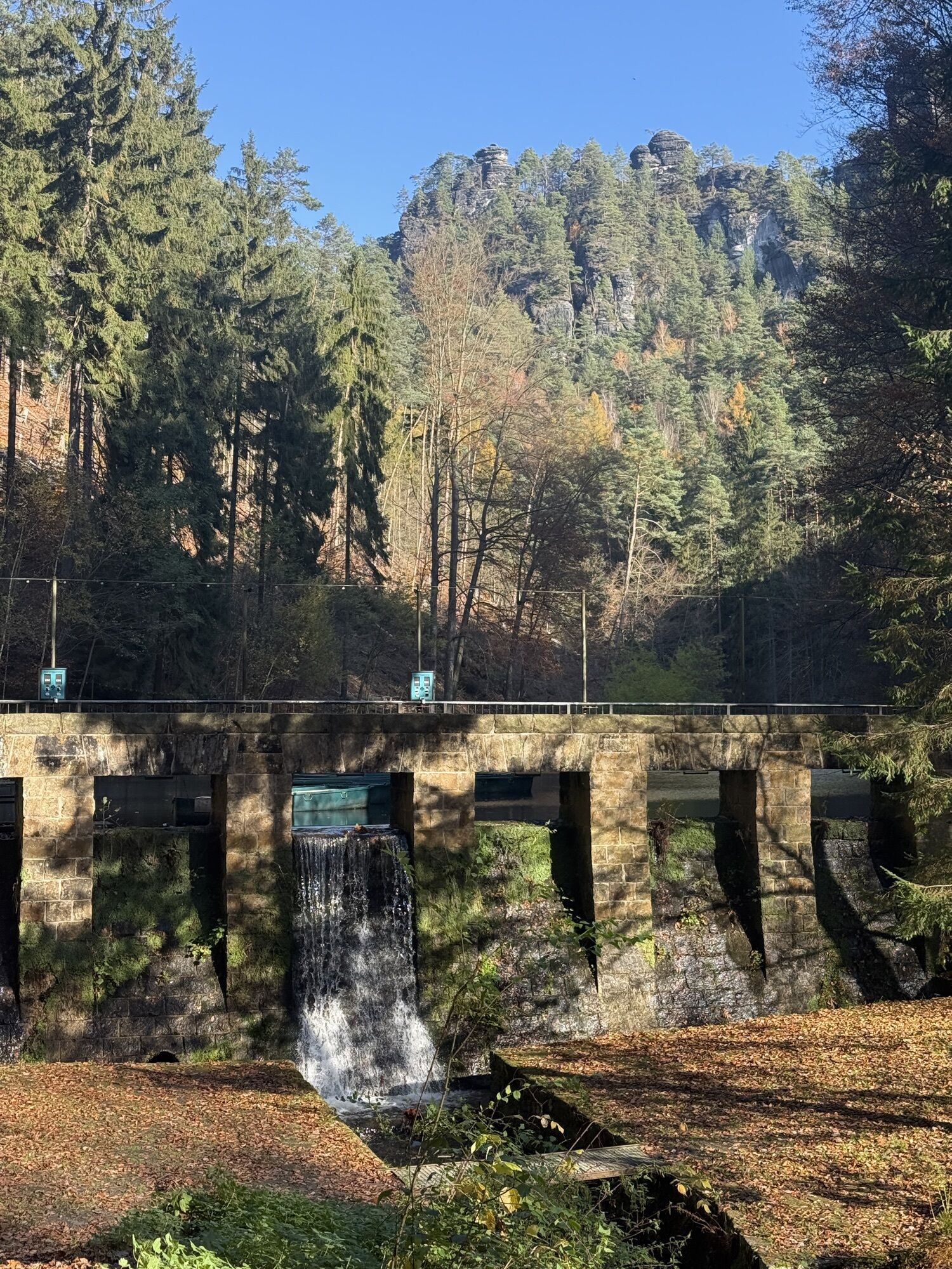
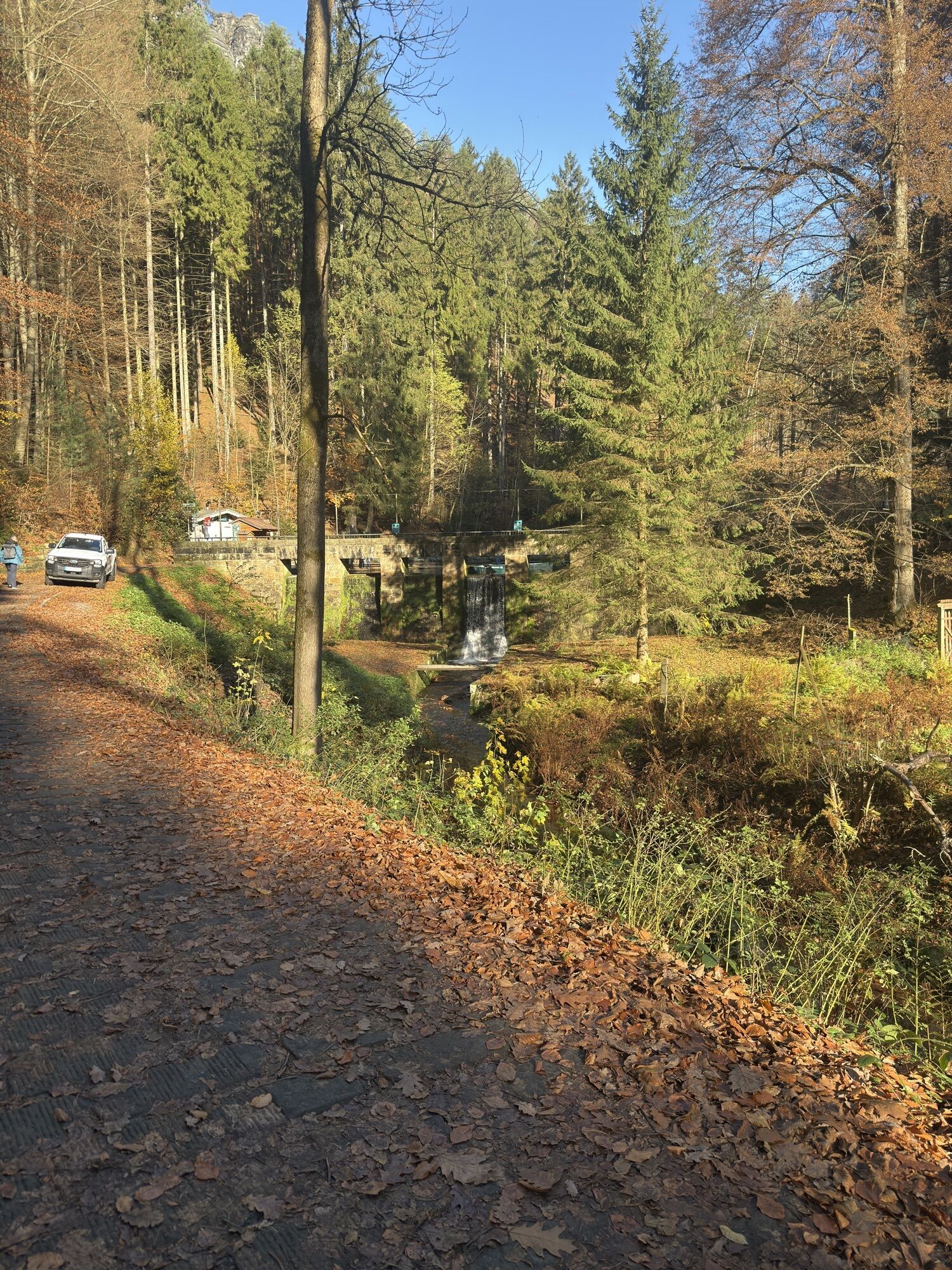
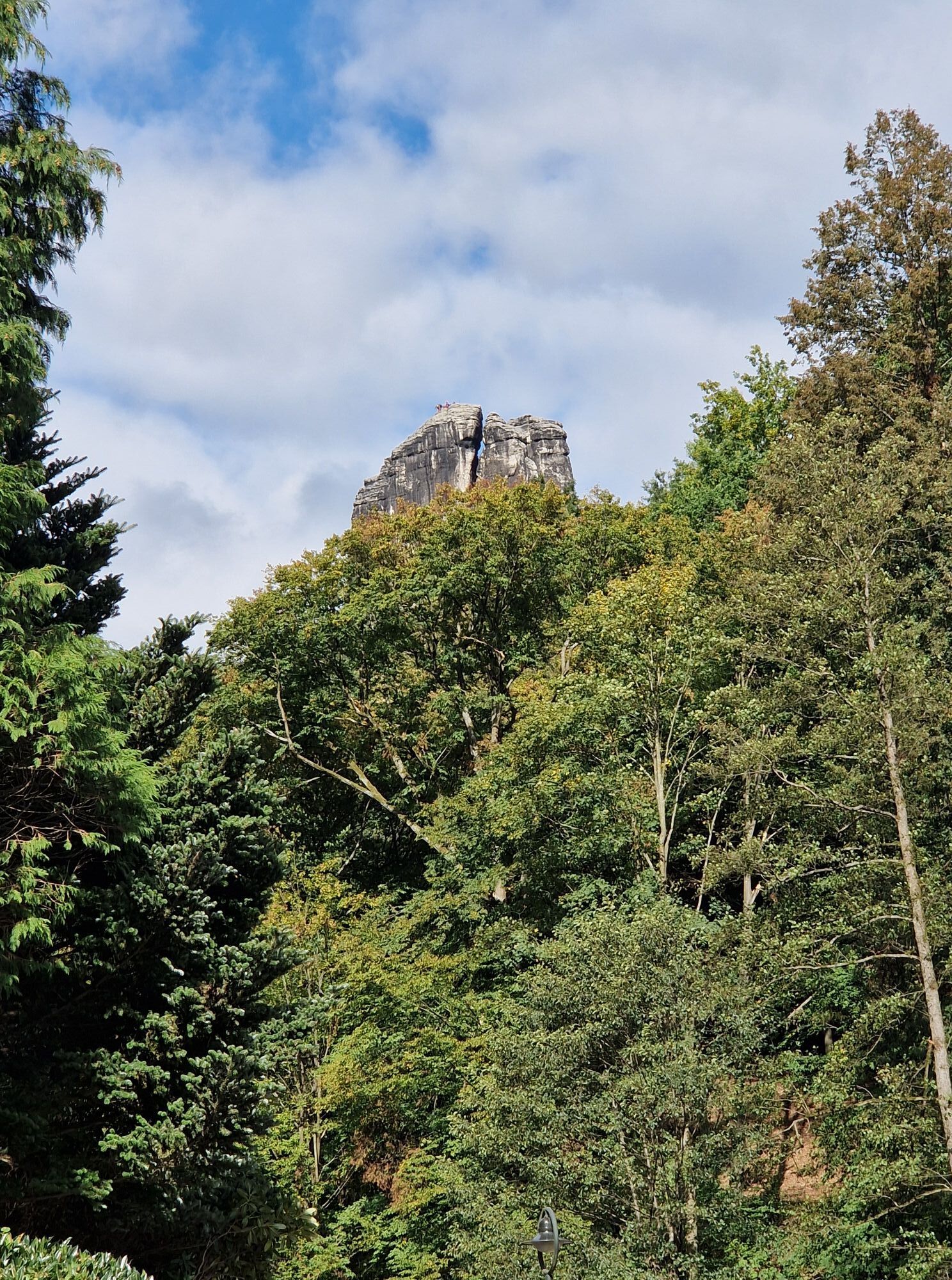
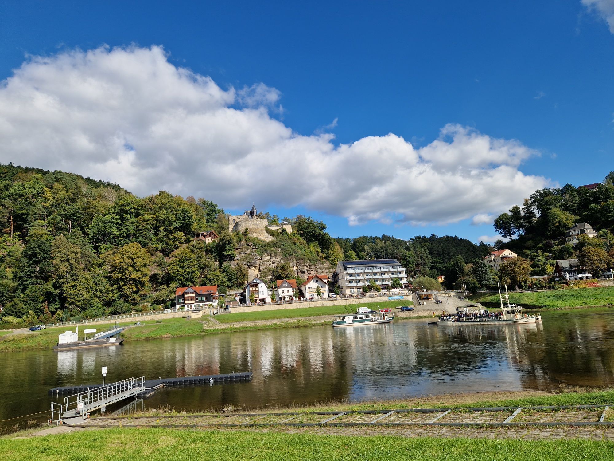
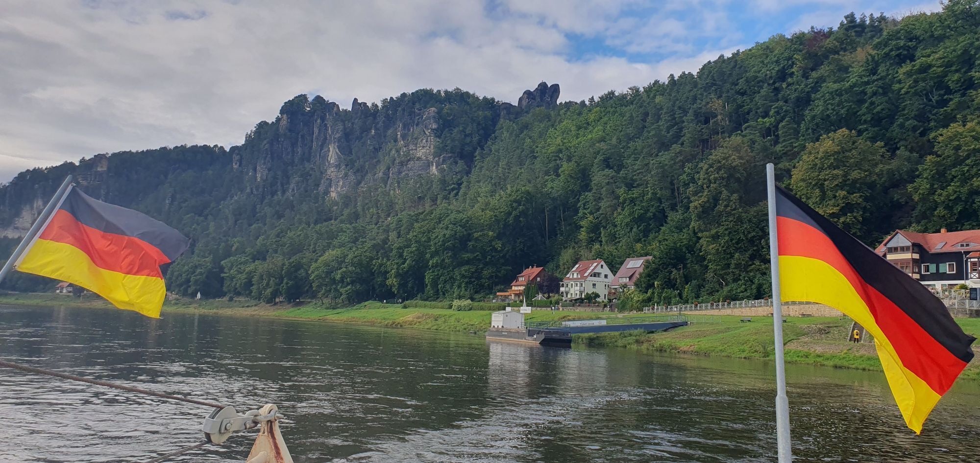
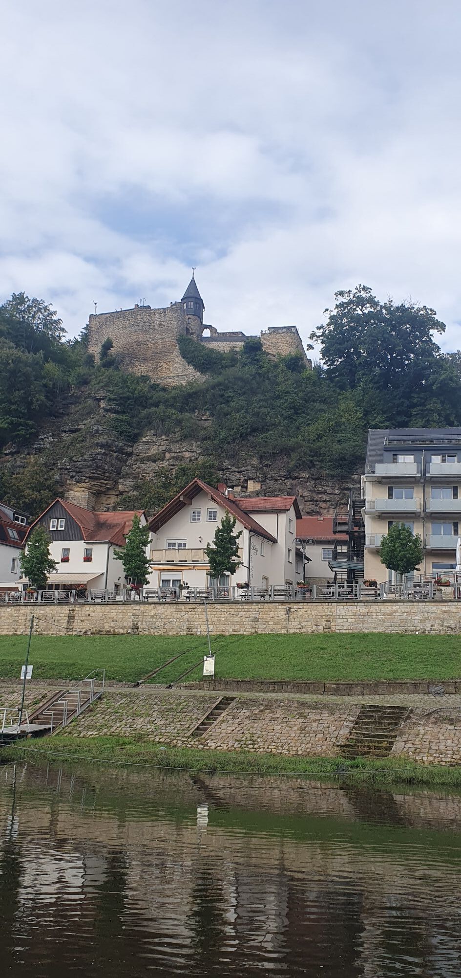
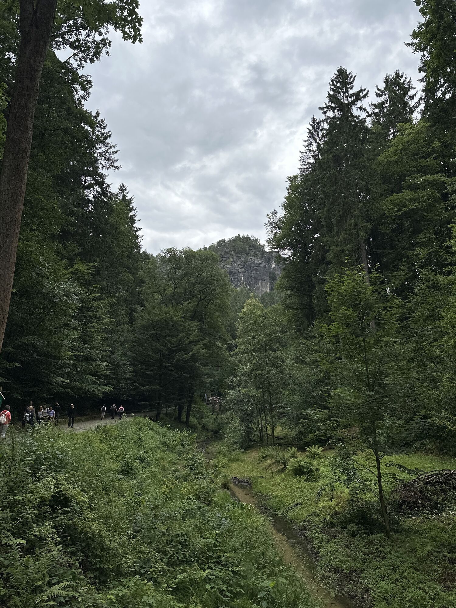
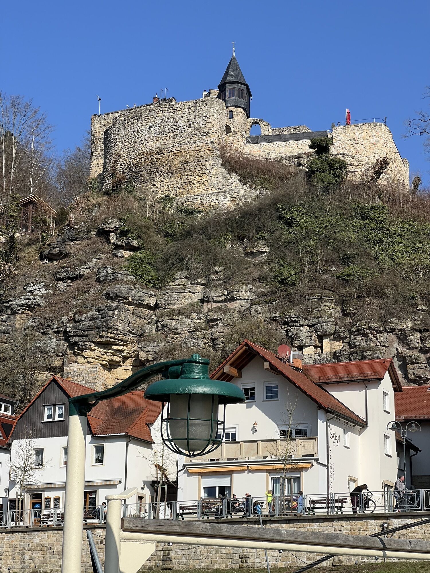
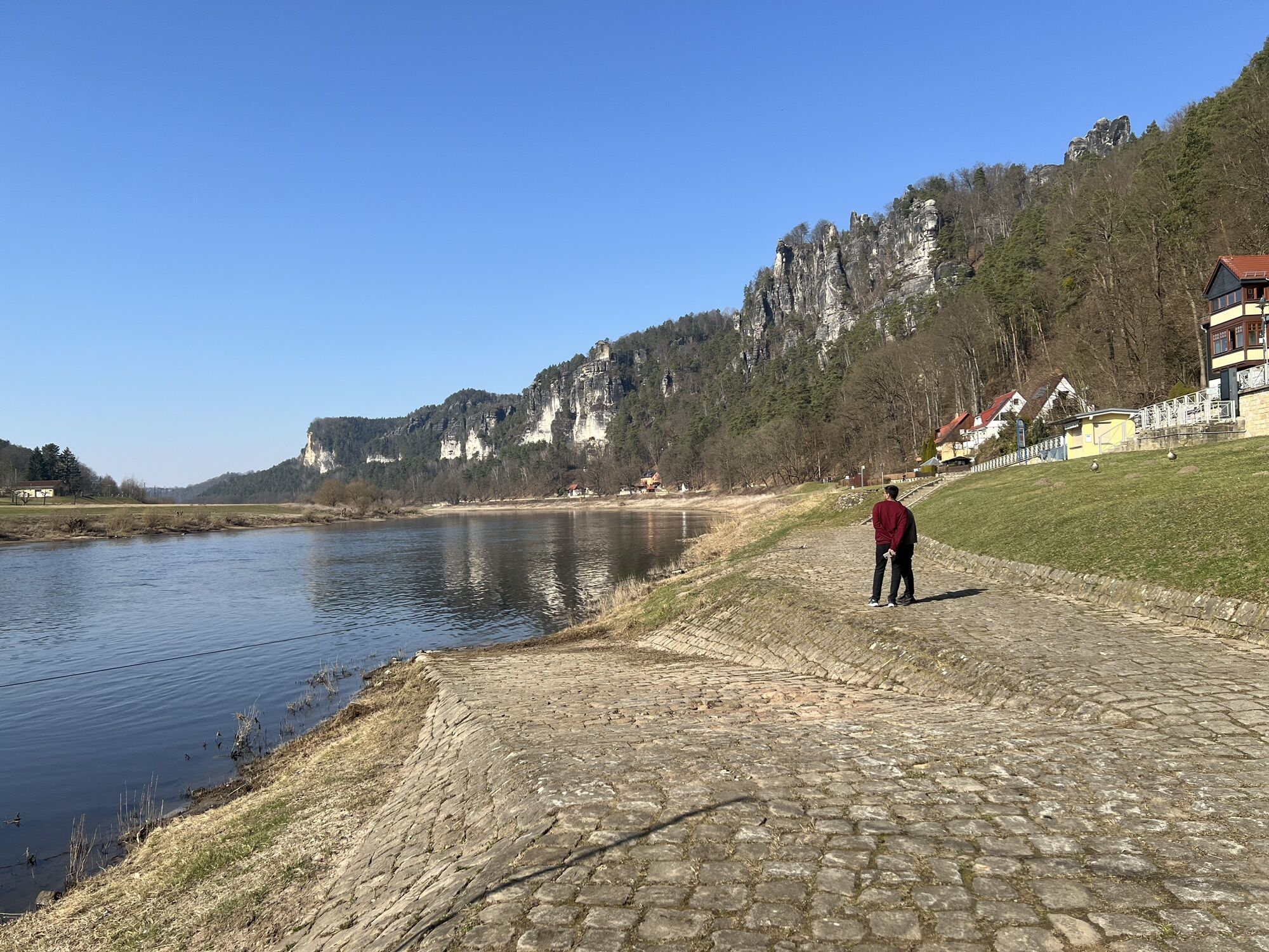
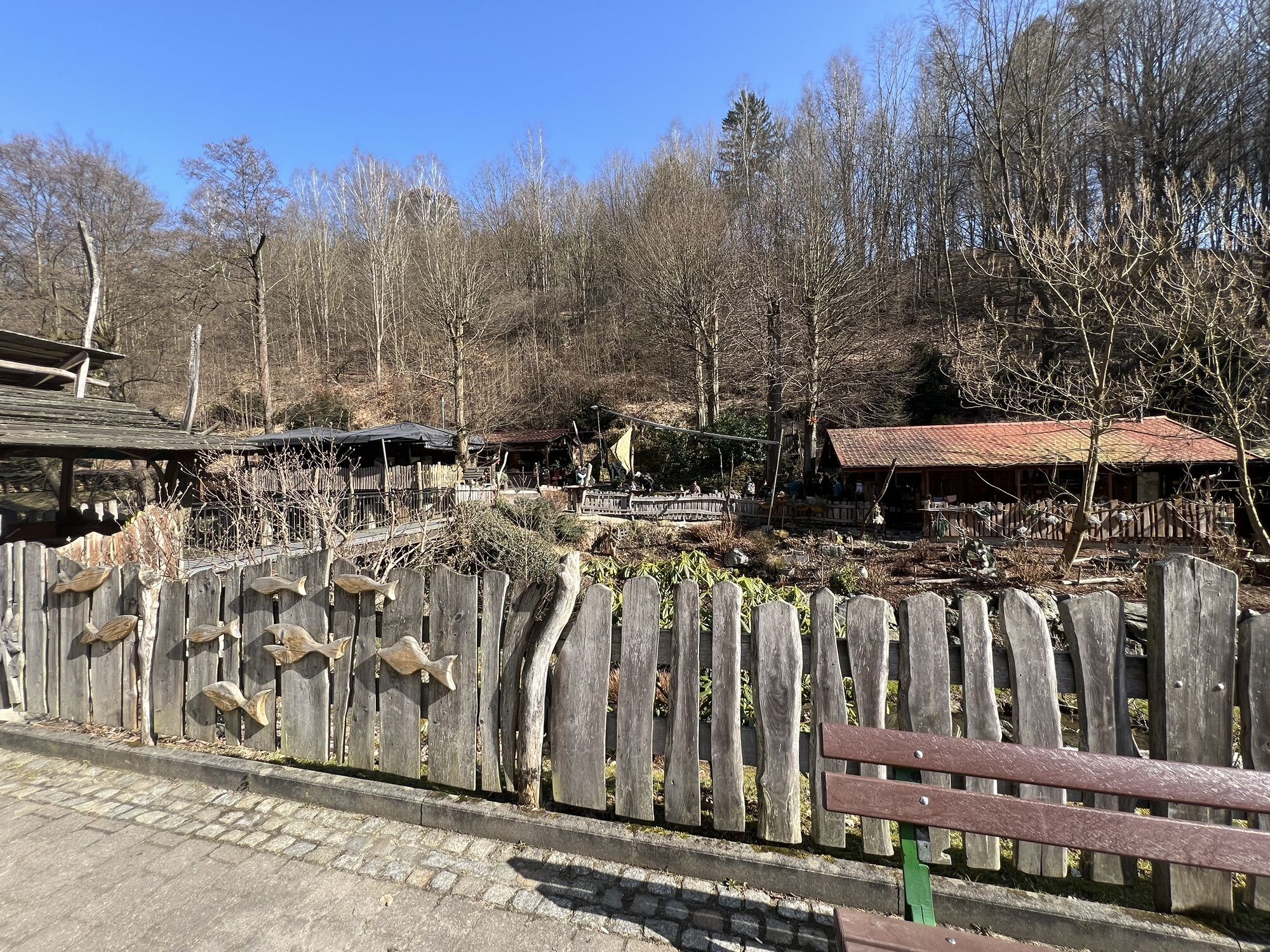

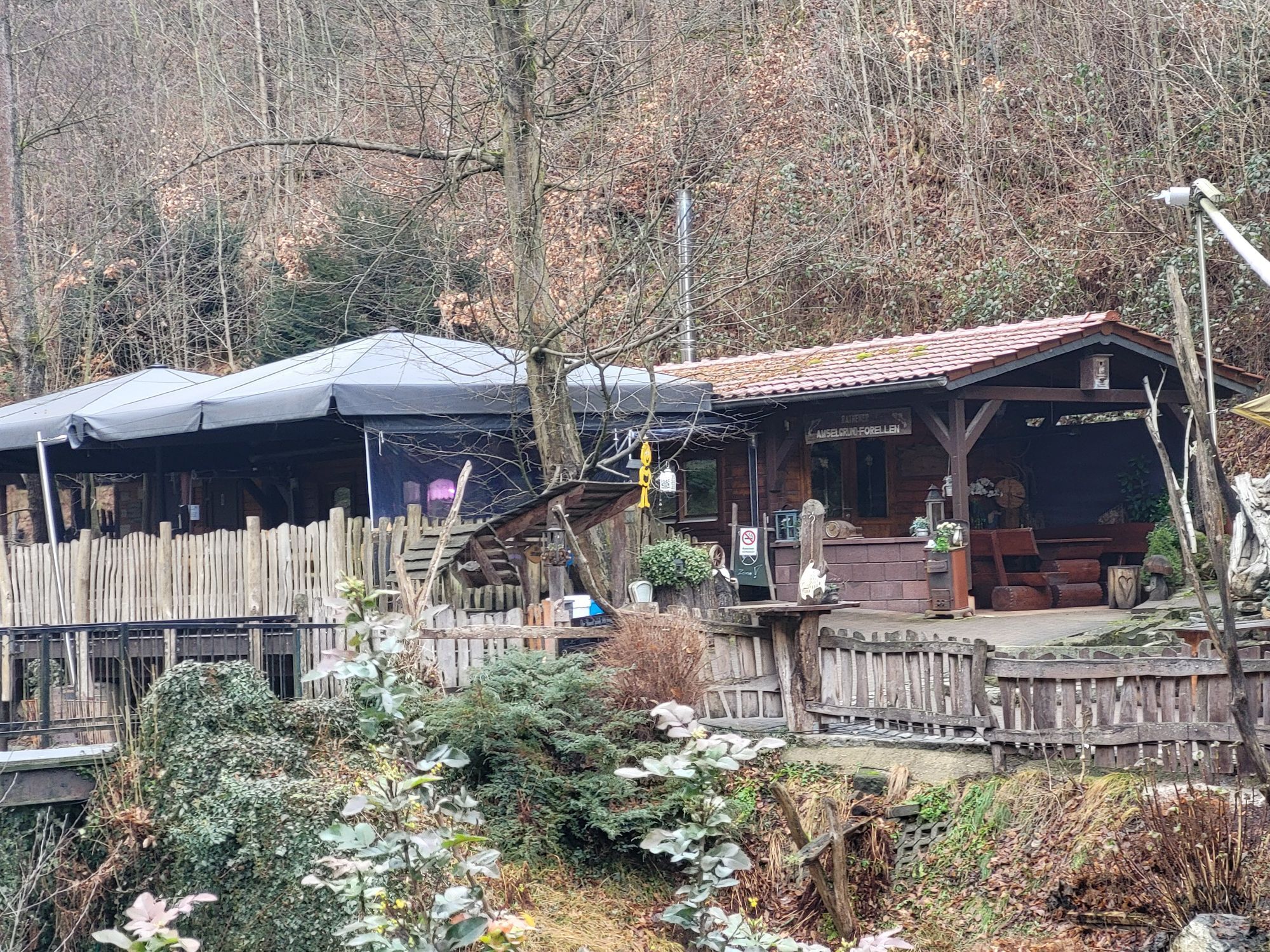
Haltepunkt Porschdorf - Polenztal - Waltersdorfer Mühle - Polenztalschänke - Hocksteinschänke - Wolfsschlucht - Hocksteinhöhle – Amselsee – Kurort Rathen - Bahnhof Kurort Rathen

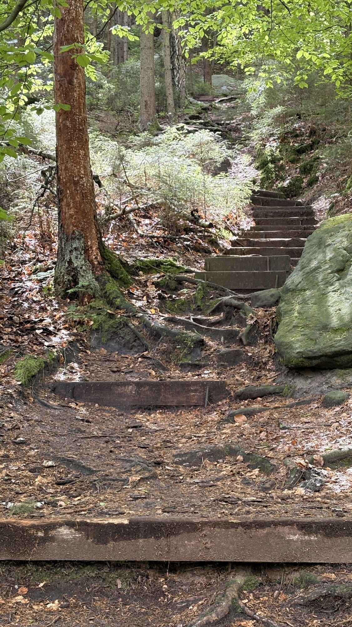
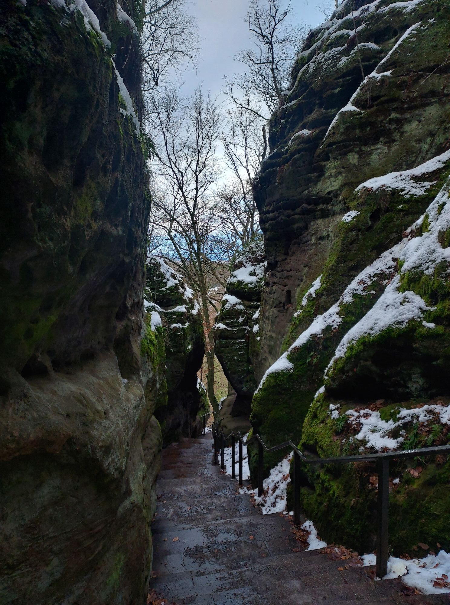
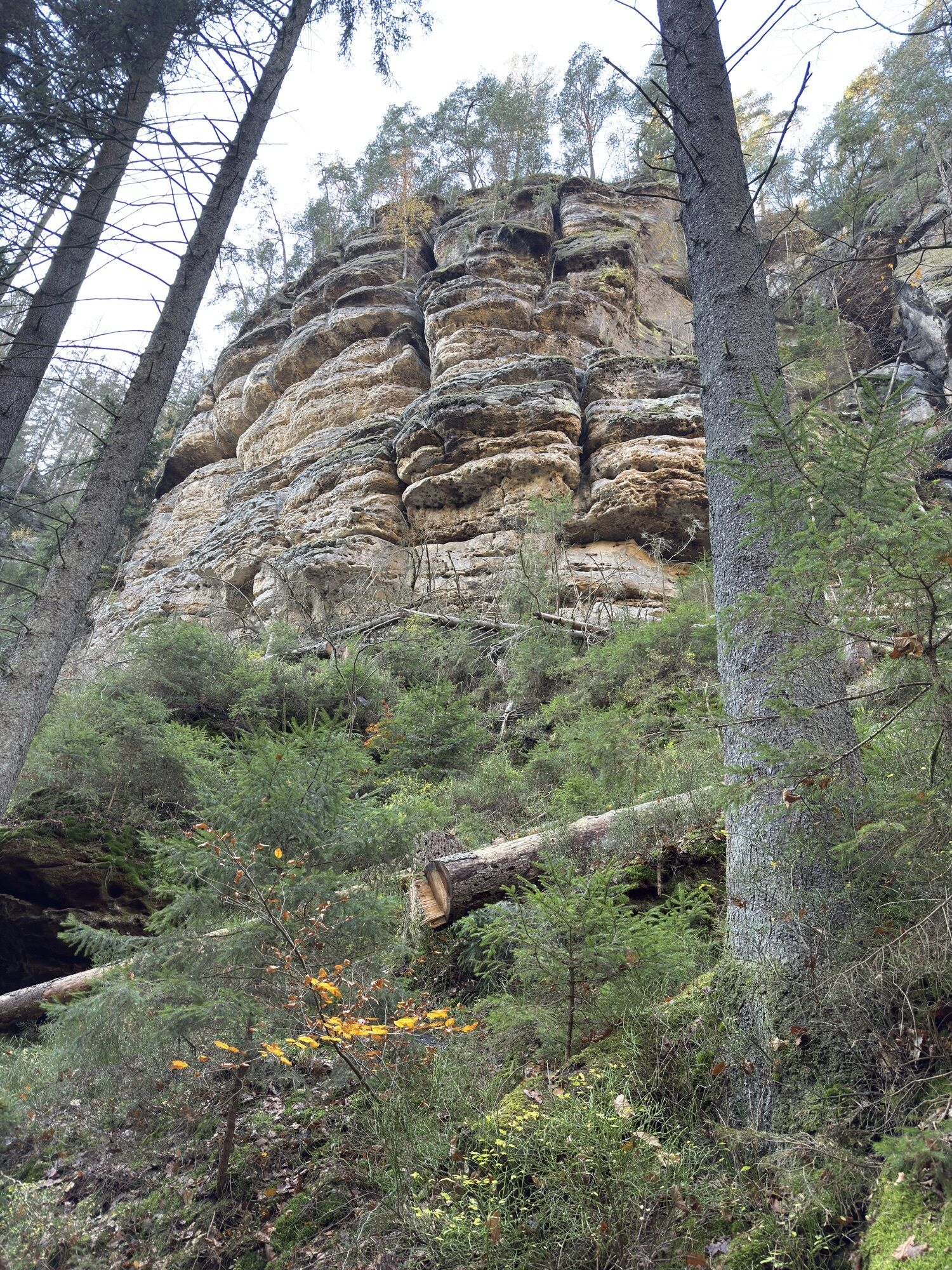
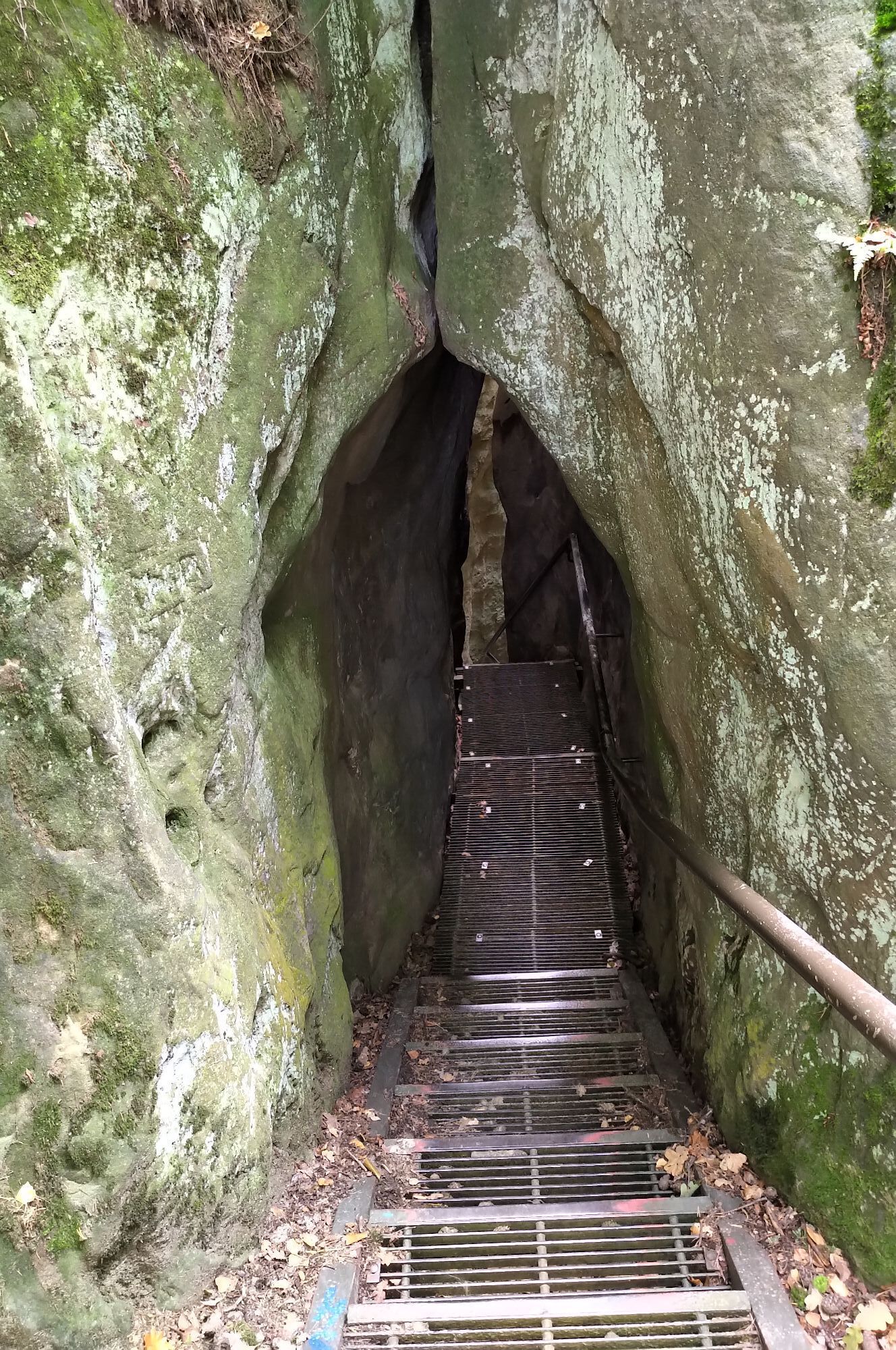
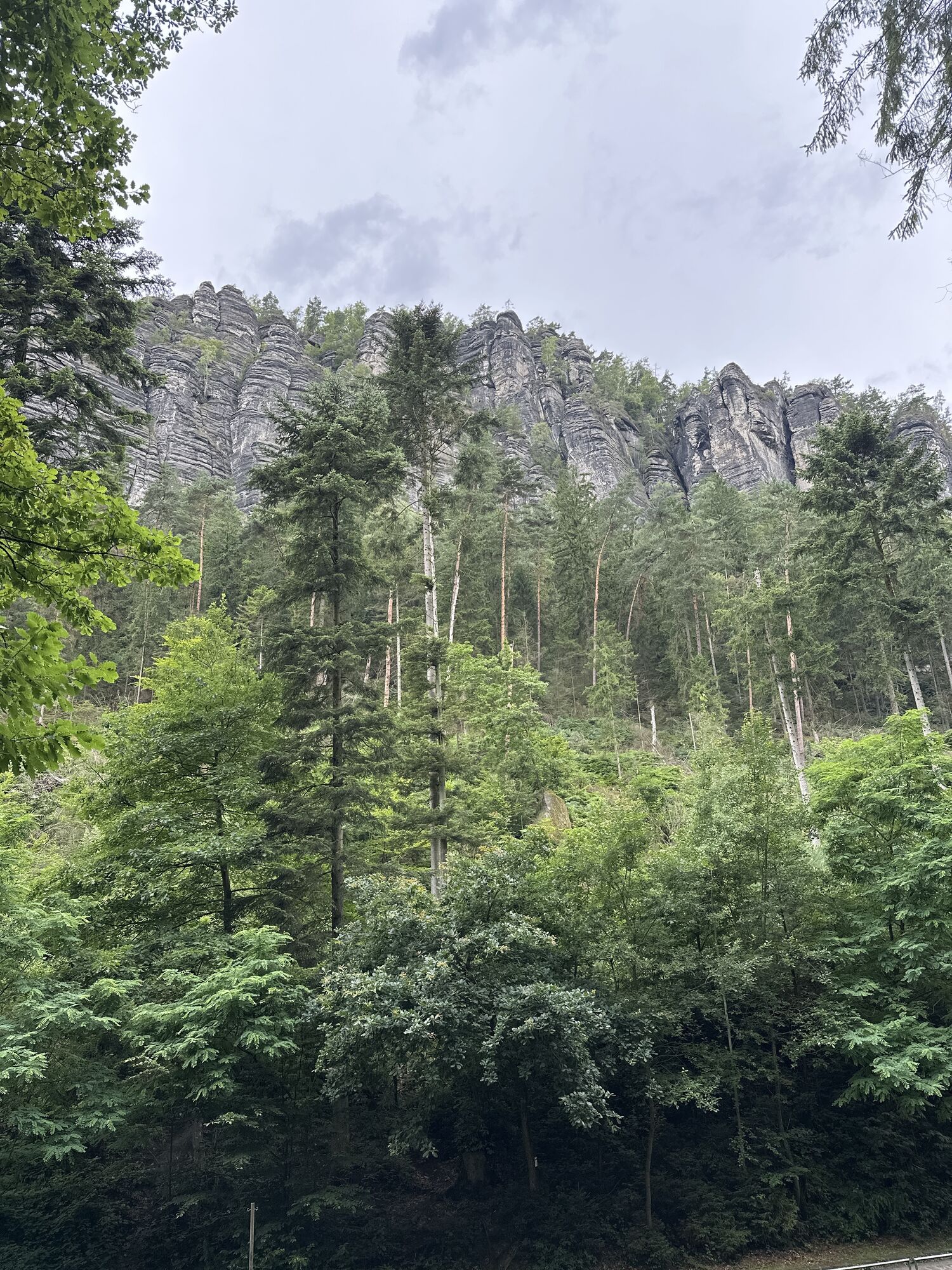
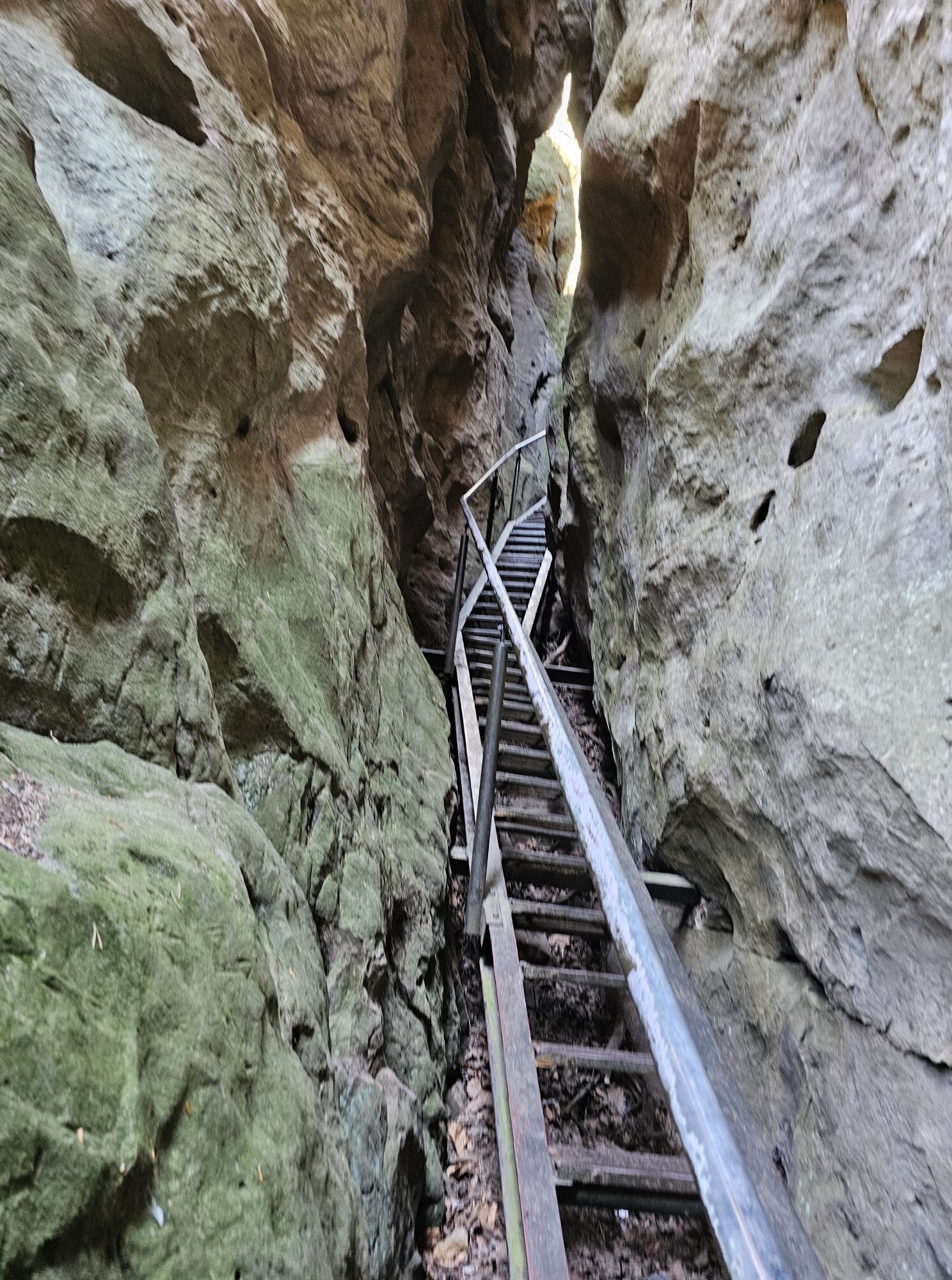
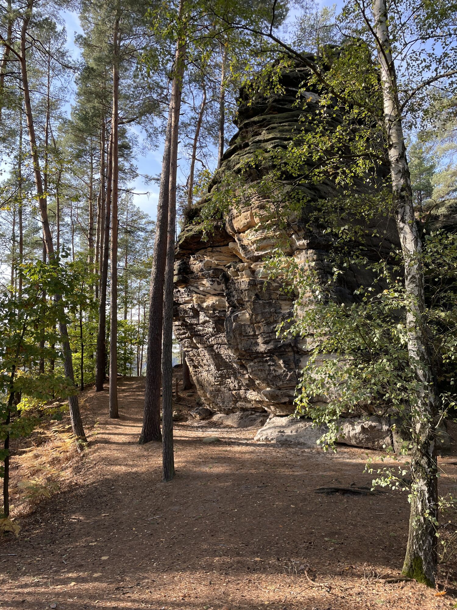
From the Hocksteinschänke, follow the green line up the Hockstein through the Wolfsschlucht gorge. At the lower end of the staircase, it is worth taking a look around the corner into the Hockstein Cave - a stratified joint cave below the rock massif.
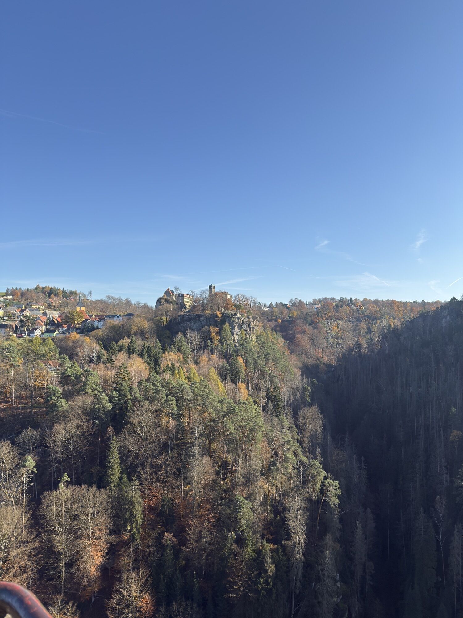
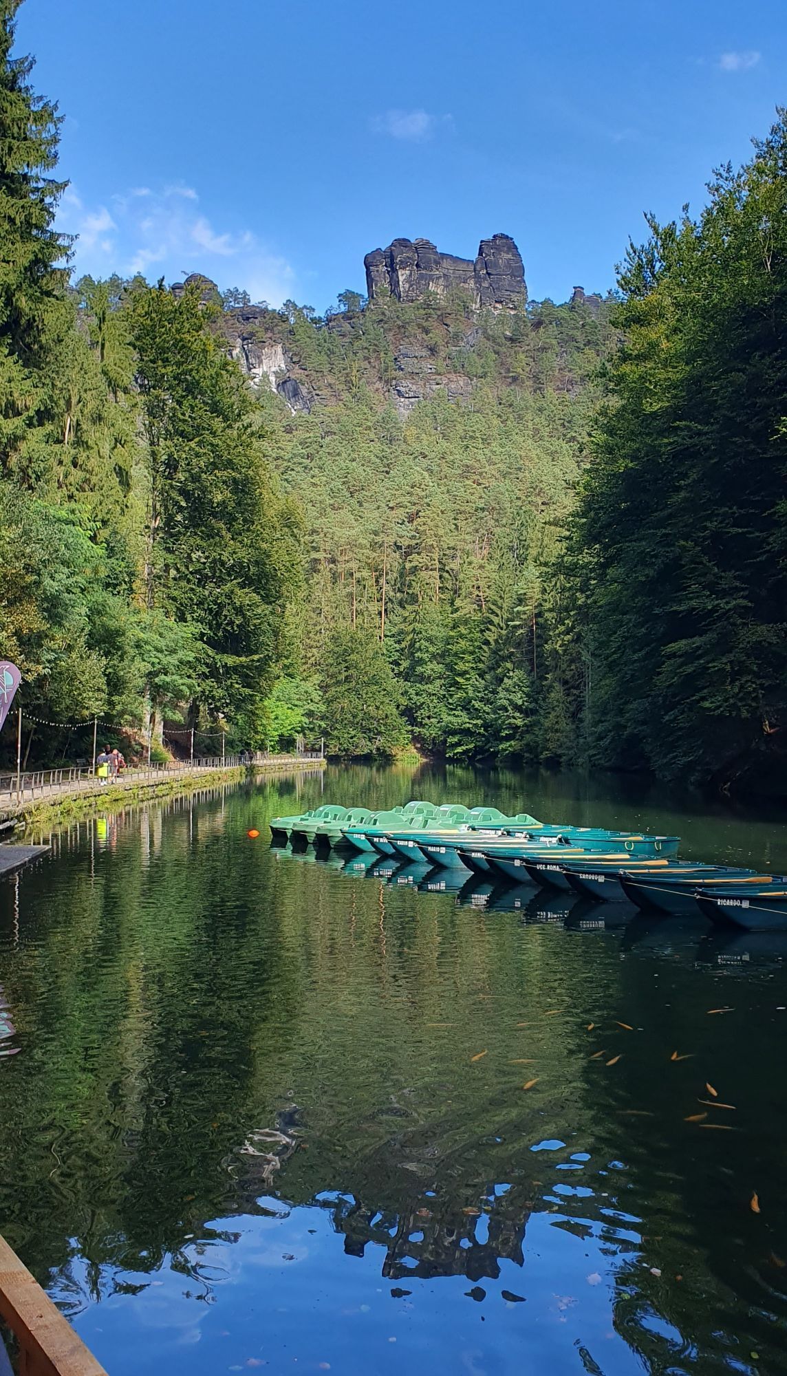
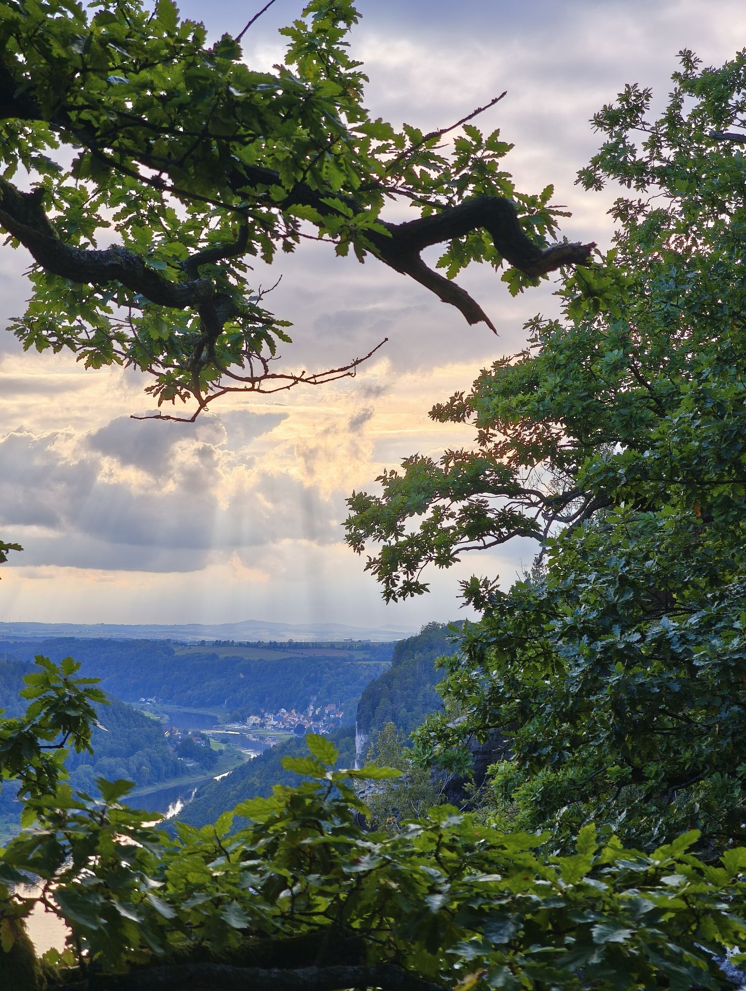
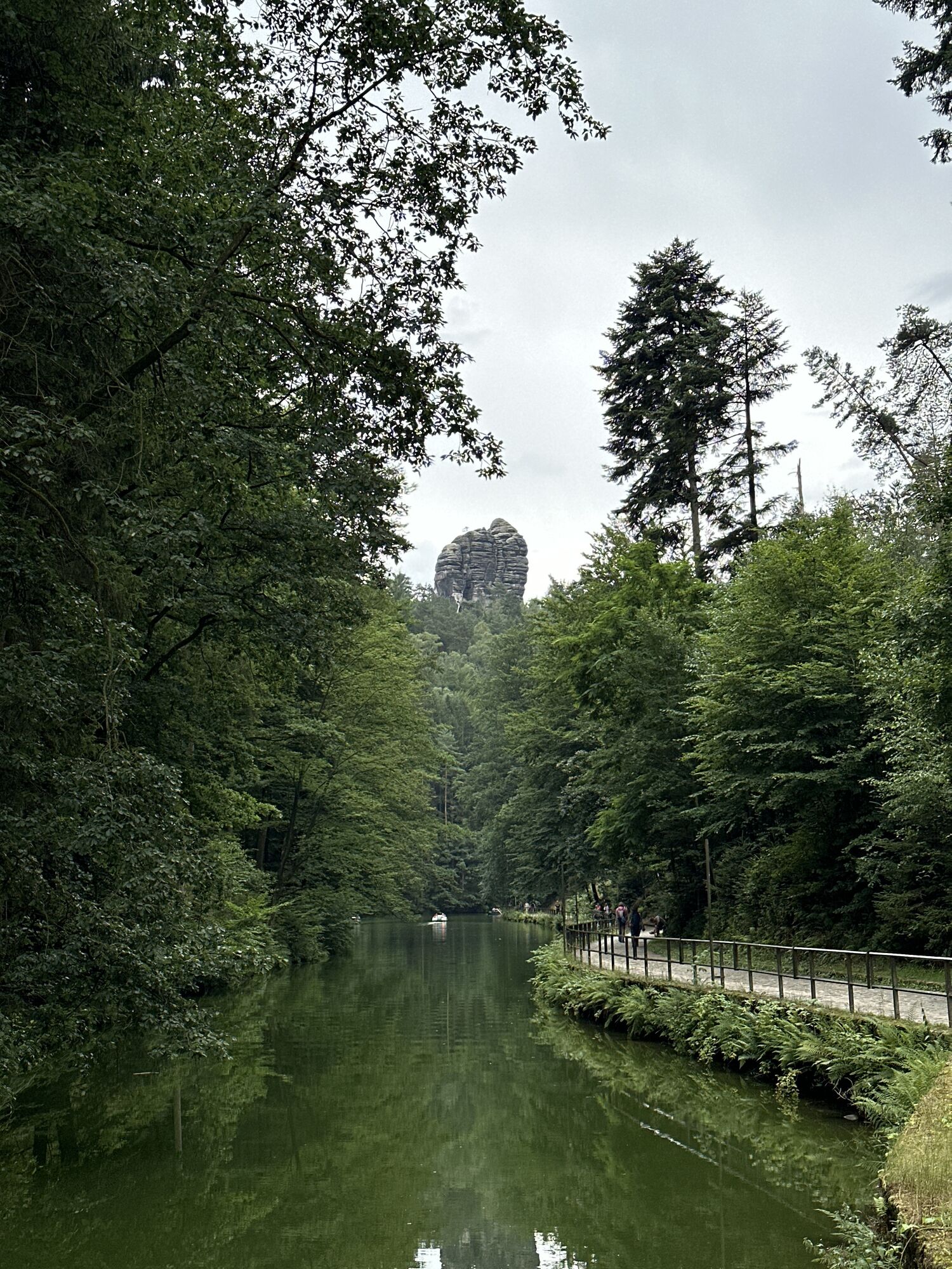
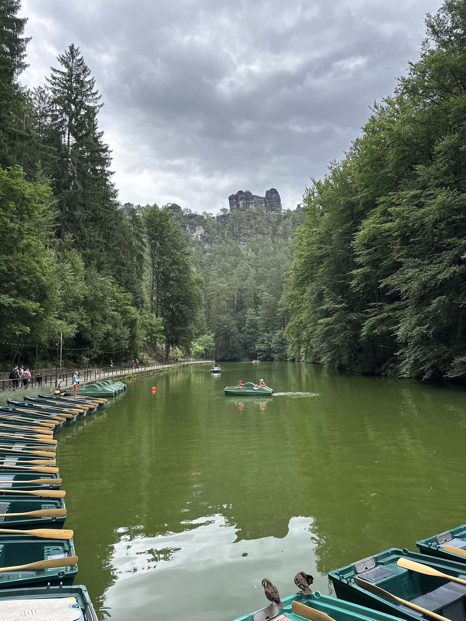
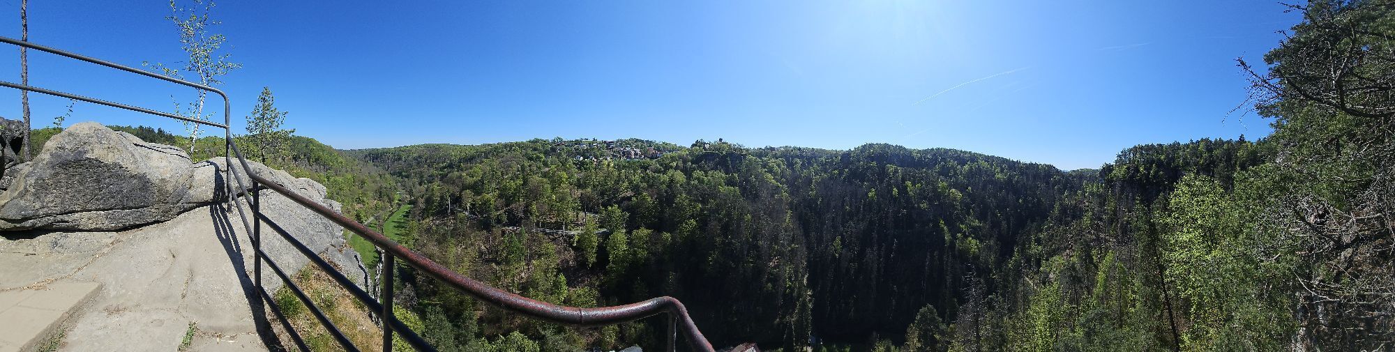
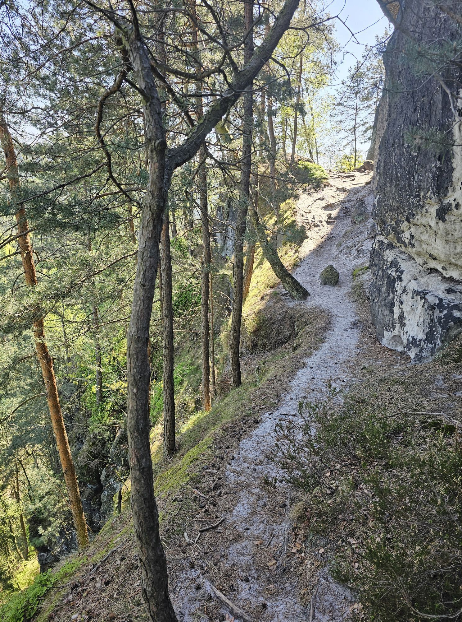
Once at the top of the Hockstein, after enjoying the views, continue following the green line in the direction of Amselsee - Kurort Rathen.
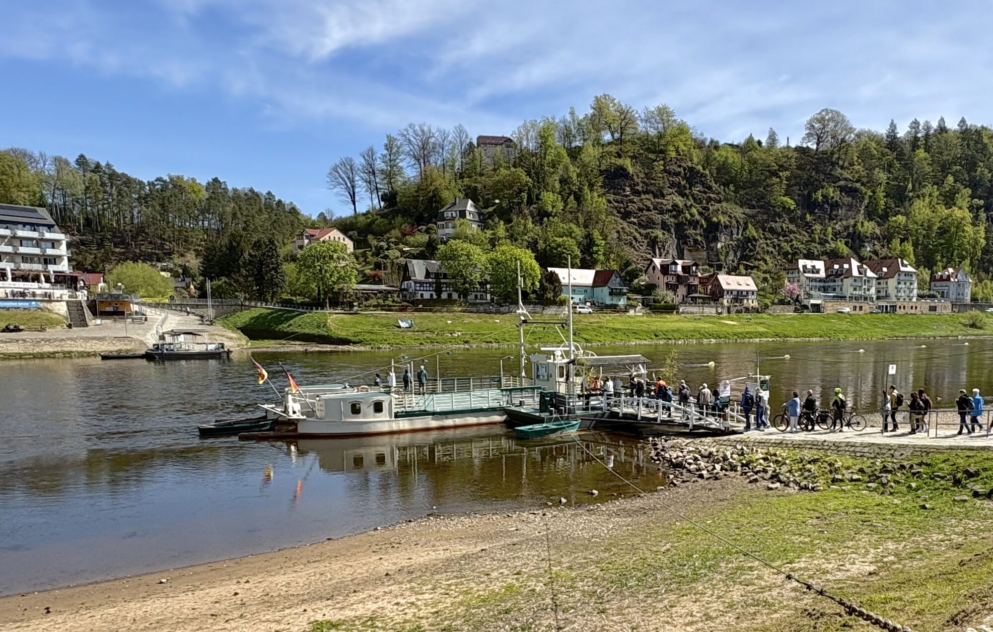
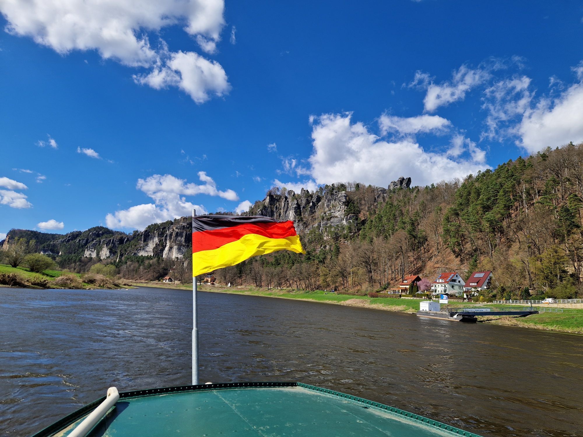
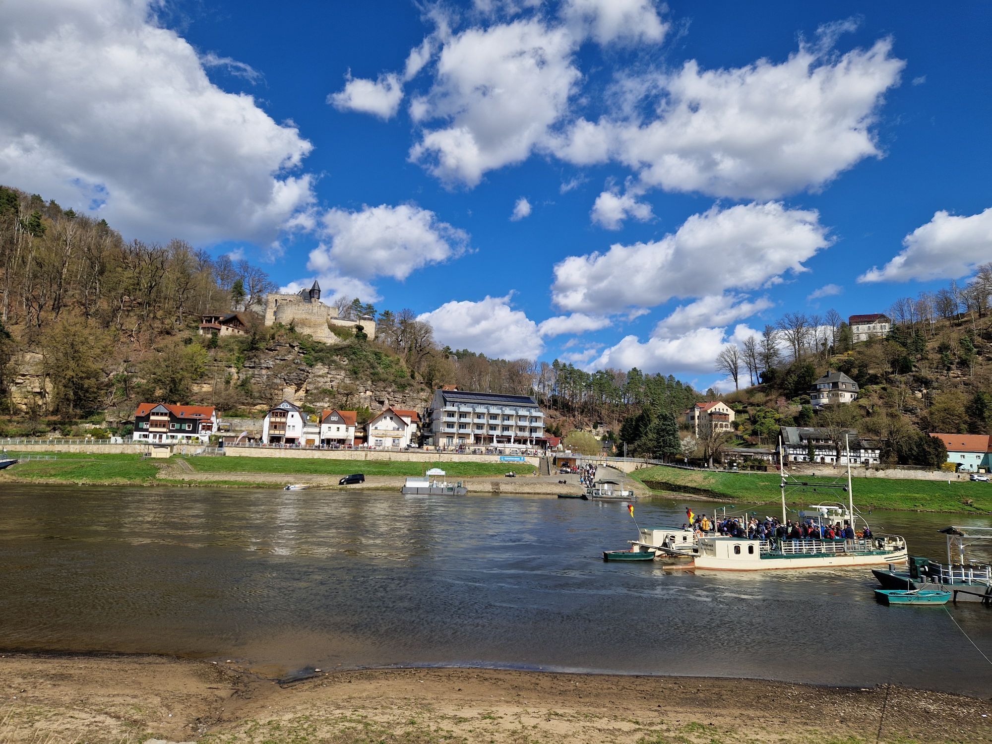
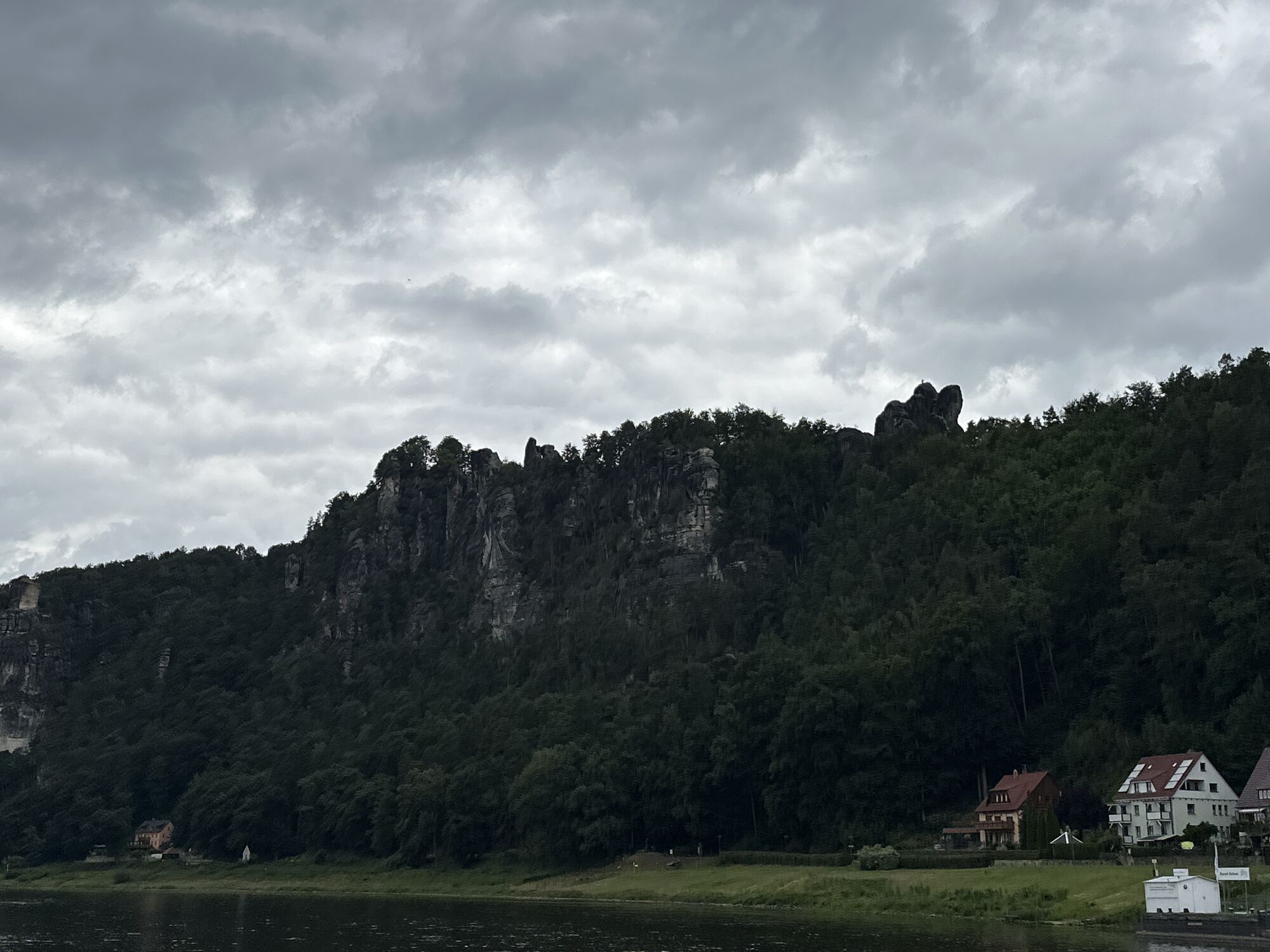
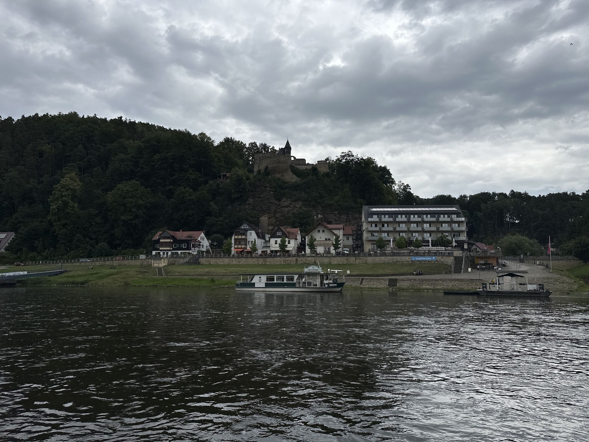
Once in Rathen, cross the Elbe by ferry and keep to the right until you reach the railway station, where the tour ends.
GPS DATA updated 2019
Buy here: shop.saechsische-schweiz.de/wanderkar...
Sturdy shoes and some food
Schandauer Str. (172) via Hohnsteiner Str. and Am Sebnitzbach to Poschdorf station
U 28 (Rumburk - Sluknov - Sebnitz - Bad Schandau - Decin)
Departure:
Line S 1 (Schöna - Bad Schandau - Pirna - Dresden - Coswig - Meißen)
!ATTENTION! - the ferry in Rathen is not part of the Verkehrsverbund Oberelbe (VVO) and must therefore be paid for separately.
Parking facilities at Bad Schandau railway station
Stop for refreshments at the Polenztalschänke or the Waltersdorfer Mühle
Webcams de la tournée
-
Krippen - Hönel Hof
-
Burgstadt Hohnstein
-
Burgstadt Hohnstein
-
Burgstadt Hohnstein
-
Burgstadt Hohnstein
-
Nationalparkbahnhof
-
Nationalparkbahnhof
-
Aussichtsturm Rathmannsdorf
-
Aussichtsturm Rathmannsdorf
-
Aussichtsturm Rathmannsdorf
-
Aussichtsturm Rathmannsdorf
-
Aussichtsturm Rathmannsdorf
-
Aussichtsturm Rathmannsdorf
-
Oberrathen
-
Oberrathen
-
Oberrathen
-
Oberrathen
-
Oberrathen
-
Oberrathen
-
Burg Altrathen
-
Burg Altrathen
-
Burg Altrathen
-
Burg Altrathen
-
Burg Altrathen
-
Burgstadt Hohnstein
Obtenez un aperçu
Toujours en direct avec plus de 9.500 webcams. En tant qu'utilisateur Pro, vous pouvez désormais voir les webcams correspondantes à de nombreuses randonnées dans l'application de randonnées de bergfex. Vous pouvez ainsi voir directement les conditions actuelles.
Parcours populaires à proximité
-
4,7
Rathen / Hockstein / Bastei / Rathen
moyenRandonnée 14,4 km -
4,6
Von Rathewalde zur Bastei
Randonnée 12,8 km -
4,7
Rundwanderung Bastei Schwendenlöcher -Amselsee
facileRandonnée 6,21 km -
4,5
Kuhstall, Himmelsleiter und Schneiderloch
moyenRandonnée 4,06 km -
4,7
Pfaffenstein Sachsen/Deutschland
moyenRandonnée 3,89 km -
5,0
Basteibrücke
facileRandonnée 2,31 km -
5,0
Lilienstein
facileRandonnée 3,75 km -
4,9
entlang der Schrammsteine, Breite Kluft, Affenwand
moyenRandonnée 11,6 km -
4,4
Kurort Rathen: Große Bastei-Runde
moyenRandonnées d'hiver 4,75 km -
4,8
Bad Schandau, Schrammsteinrunde
moyenRandonnée 11,0 km
Randonnée et suivi


Ne manquez pas les offres et l'inspiration pour vos prochaines vacances
Votre adresse électronique a été ajouté à la liste de diffusion.





