Naviguer avec l'appli
Télécharge cette visite sur ton portable
Carte
Rosenthal: Cross-border tour to the Tyssa Walls (TISKÉ STĚNY)

difficile
Randonnée
21,13 km
Scanner le code QR et commencer la navigation dans l'application bergfex
QR Code
Randonnée & tracking

Rosenthal: Cross-border tour to the Tyssa Walls (TISKÉ STĚNY)
Distance
21,1 km
Durée
08:00 h
Ascension
363 m
Altitude
372 - 612 m
Téléchargement de la piste
Carte
Rosenthal: Cross-border tour to the Tyssa Walls (TISKÉ STĚNY)
difficile
Randonnée
21,13 km

Photos de nos utilisateurs

Rosenthal Haltestelle »Mühlsteig« - Großvaterstuhl - Wormsberg -  Grenzplatte - Tyssaer Wänden/Tiské Stěny - Ostrov (Eiland) - Bielagrund -Dürrebielegrund - Steinbornweg -  Rosenthal Haltestelle »Mühlsteig« 

Description

Rosenthal Haltestelle »Mühlsteig« - Großvaterstuhl - Wormsberg -  Grenzplatte - Tyssaer Wänden/Tiské Stěny - Ostrov (Eiland) - Bielagrund -Dürrebielegrund - Steinbornweg -  Rosenthal Haltestelle »Mühlsteig« 

Parcours
Parcours
Carte
Rosenthal: Cross-border tour to the Tyssa Walls (TISKÉ STĚNY)
difficile
Randonnée
21,13 km
Großvaterstuhl
(412 m)
Sommet
1,1 km
Arnsteiner Turm
(431 m)
Sommet
2,0 km
Bennohöhle
(436 m)
Entrée de la grotte
2,0 km
Schwarzmühlenwächter
(428 m)
Sommet
2,0 km
Schwarzmühlenspitze
(437 m)
Sommet
2,0 km
Kubulus
(428 m)
Sommet
2,0 km
Juliturm
(433 m)
Sommet
2,1 km
Juliklufthöhle
(441 m)
Entrée de la grotte
2,2 km
Waldturm
(461 m)
Sommet
2,4 km
Grauer Turm
(448 m)
Sommet
2,5 km
Grenzplatte
(505 m)
Point de vue
4,7 km
Kleiner Grenzturm
(493 m)
Sommet
4,8 km
Grenzkegel
(503 m)
Sommet
4,8 km
Waldpfeiler
(491 m)
Sommet
4,8 km
Sedlo
(598 m)
Sommet
9,1 km
Snéhová věž
(597 m)
Sommet
9,1 km
Ledukinova věž
(598 m)
Sommet
9,1 km
Borůvčí věž
(596 m)
Sommet
9,1 km
Kurtovy věže-Jihovýchodní věž
(591 m)
Sommet
9,1 km
Kurtovy věže-Severozápadni věž
(591 m)
Sommet
9,1 km
Křížová věž
(594 m)
Sommet
9,2 km
Sťatý major
(598 m)
Sommet
9,3 km
Severní Oddílová věž
(604 m)
Sommet
9,3 km
Strážní věže
(601 m)
Sommet
9,3 km
Jižní Oddílová věž
(607 m)
Sommet
9,3 km
Bratrská věž
(604 m)
Sommet
9,4 km
Cikánský hrad
(605 m)
Sommet
9,4 km
Jihozápadní Svatební věž
(610 m)
Sommet
9,4 km
Severovýchodní Svatební věž
(610 m)
Sommet
9,4 km
Zelená věž
(602 m)
Sommet
9,5 km
Africká věž
(599 m)
Sommet
9,5 km
Mumie
(596 m)
Sommet
9,5 km
Kamenný sněhulák
(600 m)
Sommet
9,6 km
Blok
(598 m)
Sommet
9,8 km
Dvojitá věž
(589 m)
Sommet
9,8 km
Nová věž
(598 m)
Sommet
9,9 km
Hubený doktor
(596 m)
Sommet
9,9 km
Tlustý starosta
(595 m)
Sommet
9,9 km
Srnčí věž
(599 m)
Sommet
10,0 km
Severní Herkulův sloup
(610 m)
Sommet
10,0 km
Krejčí
(604 m)
Sommet
10,0 km
Srnčí hrot
(601 m)
Sommet
10,0 km
Lokomotiva
(609 m)
Sommet
10,0 km
Tendr
(615 m)
Sommet
10,0 km
Jižní Herkulův sloup
(610 m)
Sommet
10,0 km
Tunelová věž
(610 m)
Sommet
10,1 km
Teplická věž
(611 m)
Sommet
10,1 km
Winklerovy věže
(608 m)
Sommet
10,1 km
Jánusova hlava
(597 m)
Sommet
10,2 km
Kosí věž
(598 m)
Sommet
10,2 km
Trůn
(599 m)
Sommet
10,2 km
Květnová věž
(597 m)
Sommet
10,2 km
Kočka
(598 m)
Sommet
10,2 km
Strážce Tiských stěn
(601 m)
Sommet
10,3 km
Cimbuří
(600 m)
Sommet
10,3 km
Sáhib
(601 m)
Sommet
10,3 km
Herkules
(600 m)
Sommet
10,4 km
Golem
(598 m)
Sommet
10,4 km
Urakova hora
(599 m)
Sommet
10,5 km
Hřebenová věž
(598 m)
Sommet
10,5 km
Medusa
(591 m)
Sommet
10,6 km
Věžka
(595 m)
Sommet
10,6 km
Svišť
(594 m)
Sommet
10,7 km
Obryně Stáňa
(598 m)
Sommet
10,7 km
Košťanská věž
(594 m)
Sommet
10,7 km
Prašivec
(594 m)
Sommet
10,7 km
Východní zbojnická věž
(592 m)
Sommet
10,7 km
Západní zbojnická věž
(595 m)
Sommet
10,7 km
Malý kužel
(596 m)
Sommet
10,7 km
Dvojčata
(597 m)
Sommet
10,7 km
Jihozápadní Ptačí věž
(600 m)
Sommet
10,8 km
Severovýchodní Ptačí věž
(599 m)
Sommet
10,8 km
Nalezenec
(599 m)
Sommet
10,8 km
Oblá věž
(598 m)
Sommet
10,8 km
Brouk
(603 m)
Sommet
10,8 km
Tlouštík
(599 m)
Sommet
10,9 km
Slon - Jižní věž
(600 m)
Sommet
10,9 km
Slon - Severní věž
(603 m)
Sommet
10,9 km
Sloní sloup
(602 m)
Sommet
10,9 km
Pevnost
(599 m)
Sommet
10,9 km
Žabí korunka
(602 m)
Sommet
11,0 km
Trojčata
(608 m)
Sommet
11,0 km
Medvědí věž
(612 m)
Sommet
11,0 km
Tiská jehla
(600 m)
Sommet
11,1 km
Tisá
(538 m)
Village
11,2 km
Hřebenový kámen
(601 m)
Sommet
11,2 km
Pidižvík
(613 m)
Sommet
11,4 km
Olymp
(600 m)
Sommet
11,5 km
Sportovní věž
(596 m)
Sommet
11,5 km
Kostelíček
(600 m)
Sommet
11,5 km
Medvídek
(600 m)
Sommet
11,6 km
Netopýří věž
(592 m)
Sommet
11,8 km
Červená věž
(569 m)
Sommet
12,8 km
Želví věž
(570 m)
Sommet
12,9 km
Balkánský pilíř
(570 m)
Sommet
12,9 km
Čekatel
(561 m)
Sommet
12,9 km
Vdova Bolteová
(567 m)
Sommet
12,9 km
Rebeka
(567 m)
Sommet
12,9 km
Stínová hlava
(564 m)
Sommet
12,9 km
Sedátko
(561 m)
Sommet
12,9 km
Móric
(555 m)
Sommet
12,9 km
Slabikář
(561 m)
Sommet
12,9 km
Max
(565 m)
Sommet
12,9 km
Tovární vrata
(552 m)
Sommet
12,9 km
Blázen
(568 m)
Sommet
12,9 km
Tovární vrata
(556 m)
Sommet
12,9 km
Malá Tovární věž
(552 m)
Sommet
12,9 km
Sokol
(554 m)
Sommet
13,0 km
Stínová stěna
(558 m)
Sommet
13,0 km
Velká Tovární věž
(552 m)
Sommet
13,0 km
Stínová palice
(558 m)
Sommet
13,0 km
Pikolík
(549 m)
Sommet
13,0 km
Stínovec
(558 m)
Sommet
13,0 km
Vrátnice
(541 m)
Sommet
13,0 km
Šedá věž
(558 m)
Sommet
13,0 km
Káně
(551 m)
Sommet
13,0 km
Šotek
(550 m)
Sommet
13,0 km
Čtyřhran
(557 m)
Sommet
13,0 km
Ostrov
(460 m)
Village
14,4 km
Zehrborn
(445 m)
Source
15,0 km
Dürrebielenadel
Sommet
16,9 km
Dürrebielewand
(457 m)
Sommet
17,0 km
Ringelspitze
(459 m)
Sommet
17,1 km
Elisabethspitze
(457 m)
Sommet
17,1 km
Falkenspitze
(461 m)
Sommet
17,2 km
Fraktur
(470 m)
Sommet
17,4 km
Infos sur la visite

This tour offers caves, a unique rock labyrinth and lonely wilderness. With a few steep climbs, the tour is moderately difficult, but demanding due to the kilometer length.

Technique
n.d.
Endurance
5 / 6
Paysage
6 / 6
Expérience
n.d.
Meilleure période de l'année
Jan
Fév
Mar
Avr
Mai
Jun
Jul
Aoû
Sep
Oct
Nov
Déc
Auteur
Fourni par ELBSANDSTEINGUIDES Sächsische Schweiz
Partager la visite
Carte
Rosenthal: Cross-border tour to the Tyssa Walls (TISKÉ STĚNY)
difficile
Randonnée
21,13 km
Erreur
Une erreur s'est produite. Veuillez réessayer.
Informations sur l'itinéraire
Parcours
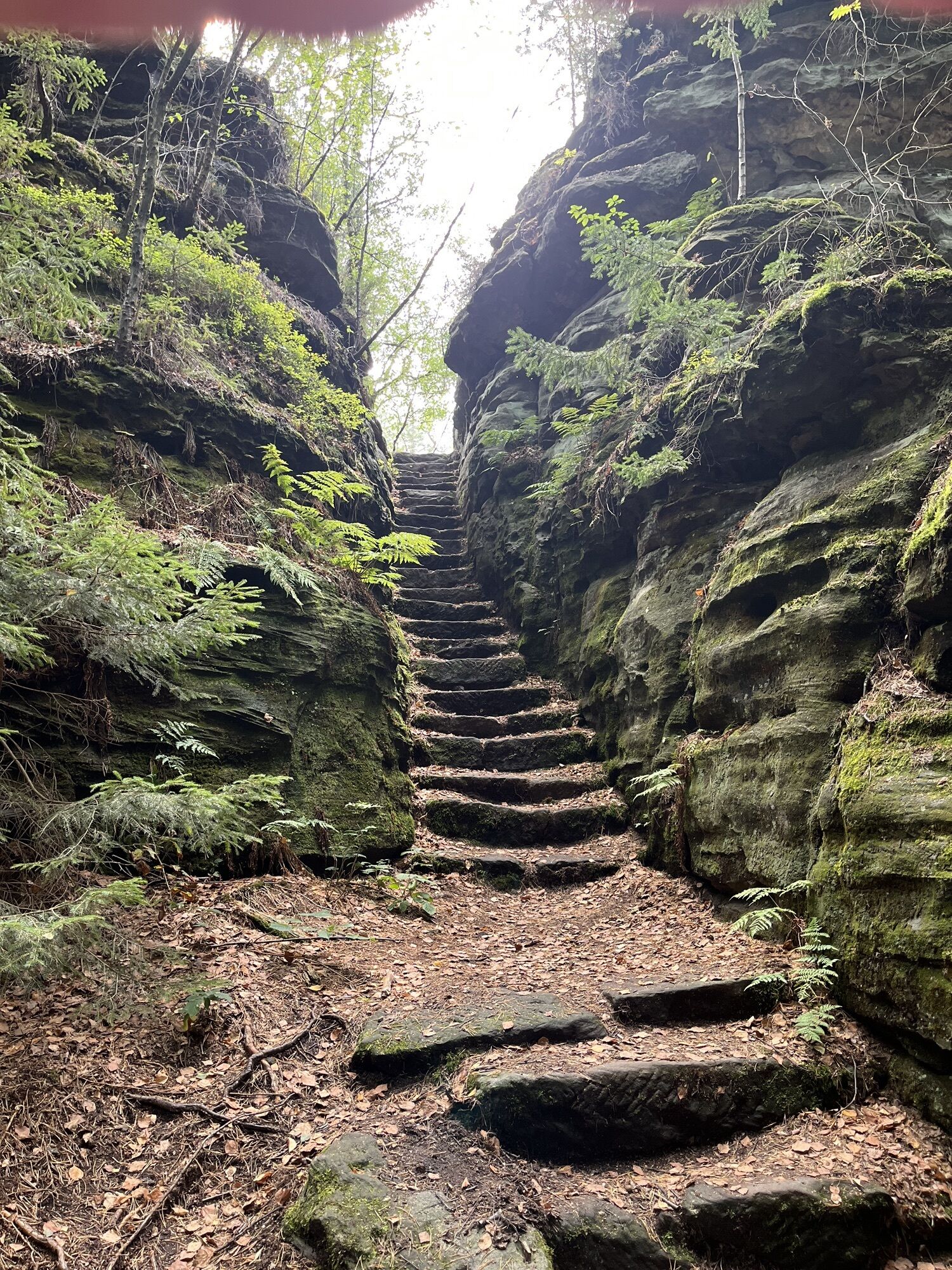
The route is not particularly difficult in terms of profile, but with a length of 21 kilometers it is still demanding. In addition, there are a few short crisp climbs and descents, especially in the Tyssaer Wänden, which rob some strength and cost time in some respects. Therefore, you should definitely take enough time for the hike - not least to be able to enjoy the Benno cave, the border plate and the Tyssa walls as well as the paths there and back.


If the route is too long for you, you can break off the tour from April to October at the Tyssa Walls or on the way back at the stop "Footpath to Schneeberg" and take the hiking bus back.


In addition, the tour is also a wonderful first stage for a two-day multi-day tour with an overnight stay in Ostrov, in order to visit the High Snow Mountain on the second day. A suitable description of the route can be found here: From Rosenthal to the Hoher Schneeberg.


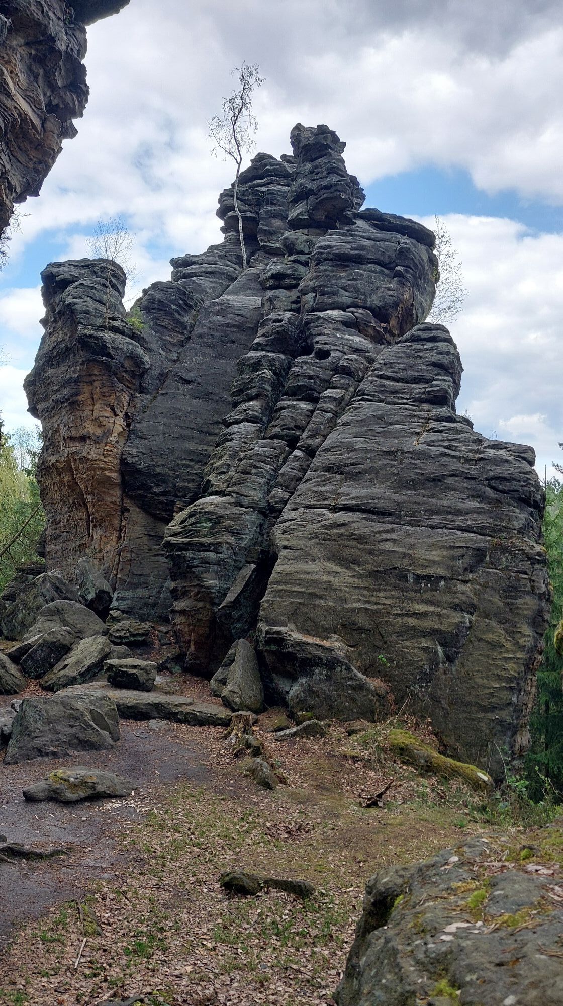
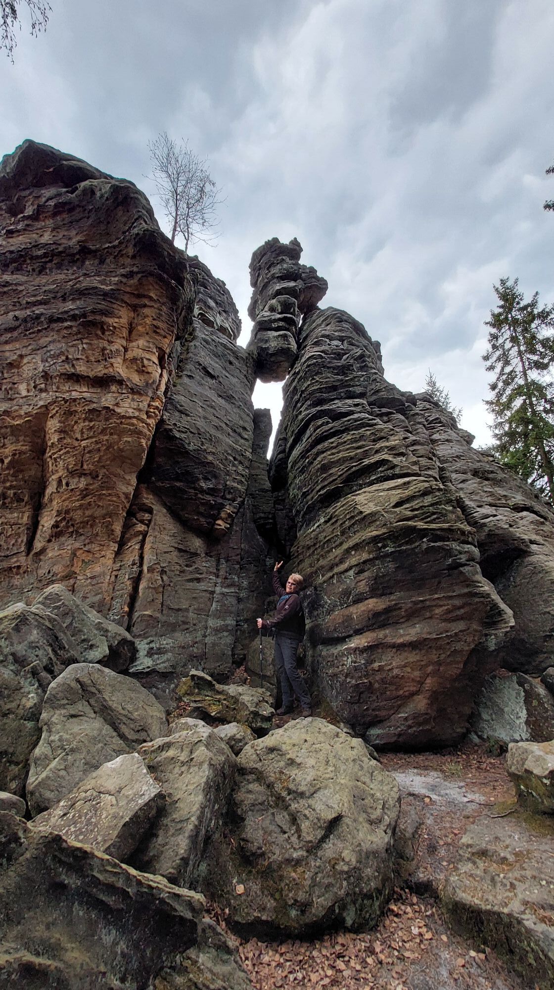
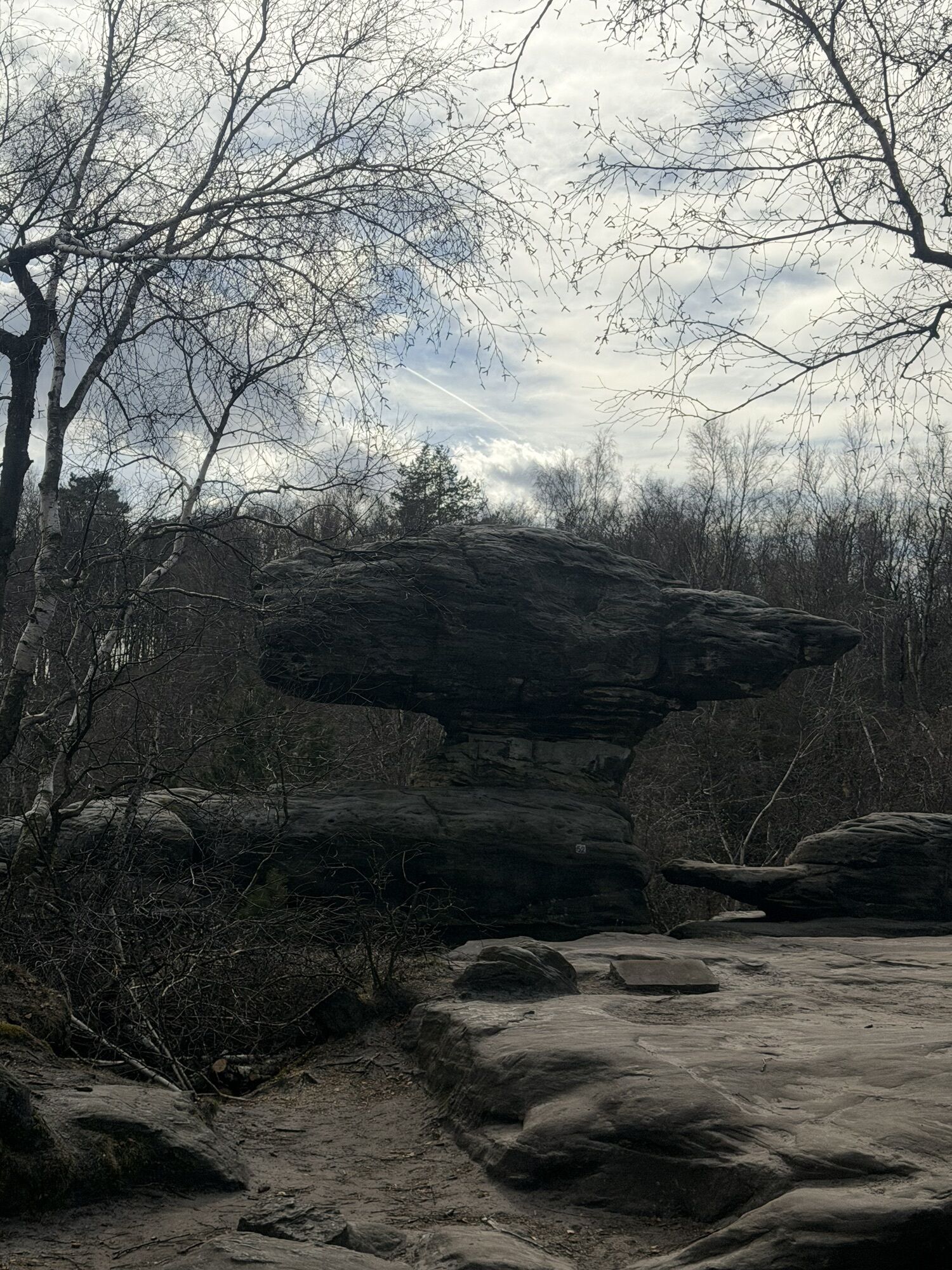
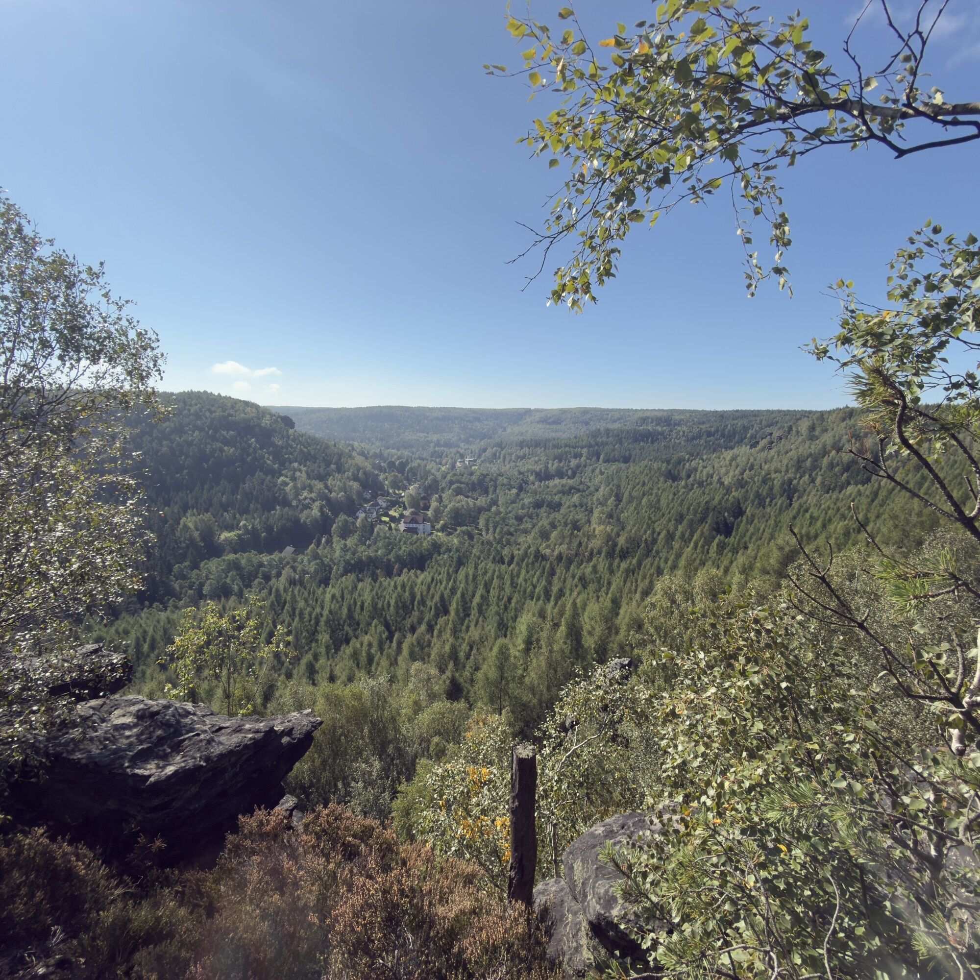
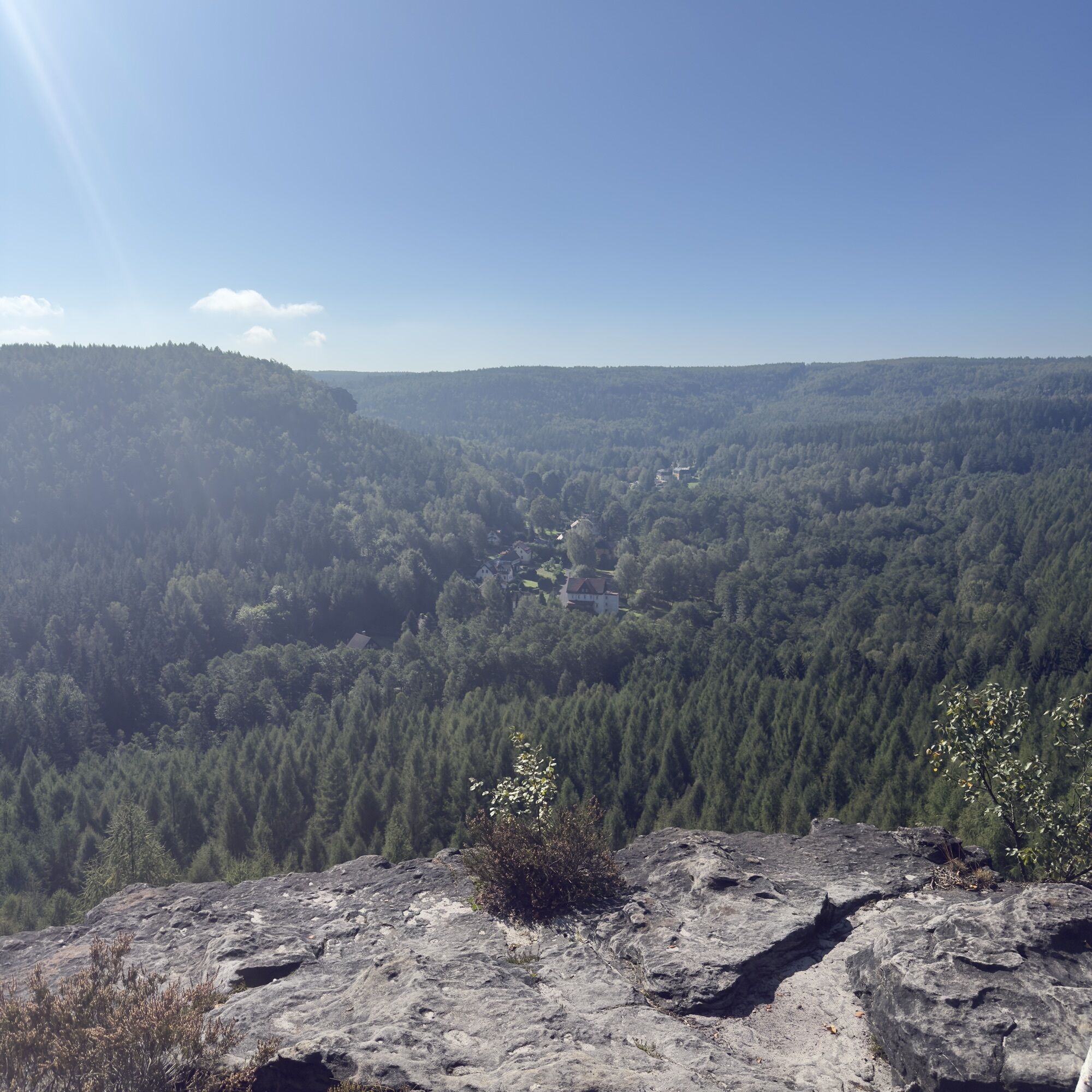
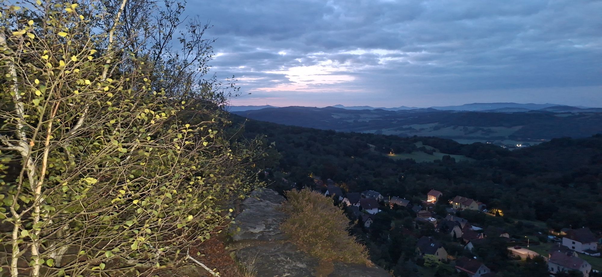
The hike starts at the stop "Mühlsteig" in Rosenthal-Bielatal and follows from there first the Mühlsteig across the field to a signpost with a red line, which further points to the Mühlsteig and to the Benno cave. On the way to the Bielatal you make a short detour to the viewpoint Großvaterstuhl with an interesting view of a prominent climbing peak and the Bielatal. In the Biela valley, follow the red line in the direction of Wormsbergweg and the lookout point (AP) Grenzplatte. On the way there, you will pass the impressive Benno Cave, which should not be missed. From the Benno Cave you continue along the Wormsbergweg to the Grenzplatte, a very impressive viewpoint above Ostrov, from which you can see as far as Hoher Schneeberg and which invites you to take a rest. From the Grenzplatte you continue to follow the red line until in a sharp right turn a signpost without markings points further straight ahead to the Tysa Walls. This path then runs directly on the border and is marked with a green line. At the next major crossroads follow the signpost and yellow line to the right to the "Tiské Steny" - the Tyssa Walls. When you arrive at the Tyssa Walls, follow the green trail through the Tyssa Walls until you get back to the rustic inn, the Tourist Lodge. From the Tyssa Walls* you then walk along the red line and through bizarre rock groups ("Kingdom of Heaven") to Ostrov (Eiland). Then you cross Ostrov by the road to the end of the village, where you get back to a wide forest road and back to the "Bielagrund" forest area. After one and a half kilometers, the narrow Dürrebielegrund (yellow line) joins on the right. Follow this ever-so-slightly uphill under steep rocks until you reach a bridge at Steinbornweg, where a signpost with a red dot and the inscription "Rundweg Rosenthal" points you back to the village. From this point, follow the red dot to a bus stop "Footpath to Schneeberg" in the middle of the forest and from there continue straight along the cycle path back to Rosenthal past the customs houses to the Mühlsteig. 


*If the tour is too long for you, you can end it from April to October with the hiking bus already at the Tyssa walls or on the way back at the bus stop "Footpath to the Schneeberg" in the forest. More info and hints can be found in the further description on how to get there by public transport.

GPS data updated 2022

Cartes

Buy here: Hiking maps

Équipement

Hiking shoes, enough drinks and food

Informations sur l'itinéraire
Itinéraire

S171 via Talstraße on Königsteiner Str. to Rosenthal Mühlsteig

Transports en commun
Arrival:

Line 242 (Königstein - Rosenthal)

Line 245 (Pirna - Leupoldishain - Rosenthal)

Line 247 (Rosenthal - Oelsen - Bad Gottleuba - Berggießhübel)

Departure (shortcut for the way back):

Line 217 ((Pirna -) border crossing Bahratal - Petrovice - Tisa - Sneznik - Rosenthal

Line 219 (Pirna - Cotta - Berggießhübel - Bad Gottleuba - border crossing Bahratal)

Parking

For those arriving by car, it is best to park at the customs houses in Rosenthal.

Infos complémentaires & conseils
Conseils

turdy shoes and hiking clothes suitable for the weather are an advantage, a flashlight for the Benno cave and binoculars for the views are recommended.It is also recommended to take enough food and drink with you, because there is only one stop after about 10 kilometers at the Tysa Walls, the tourist cottage Tisá (opening hours: www.turistickachatatisa.cz/) and after about 15 kilometers in Ostrov (Eiland).

Randonnée et suivi

Randonnée et suivi

Randonnée et suivi
Plus de 550.000 propositions de circuits, des cartes détaillées et un planificateur d'itinéraire intuitif font de cette application un must pour tous les passionnés de nature.
bergfex