







Caspar-David-Friedrich-Path




Bad Schandau OT Krippen (railway station) - Bahnstraße - Elbufer playground (near ferry) - Krippen car park (below Erbgericht) - Elberadweg - Mittlhangweg - Kleine Bastei Krippen - Hirschgrund - Schöna...
Bad Schandau OT Krippen (railway station) - Bahnstraße - Elbufer playground (near ferry) - Krippen car park (below Erbgericht) - Elberadweg - Mittlhangweg - Kleine Bastei Krippen - Hirschgrund - Schöna - Kasierkrone - Wolfsberg - Reinhardtsdorf - Krippen - Bad Schandau OT Krippen (railway station)
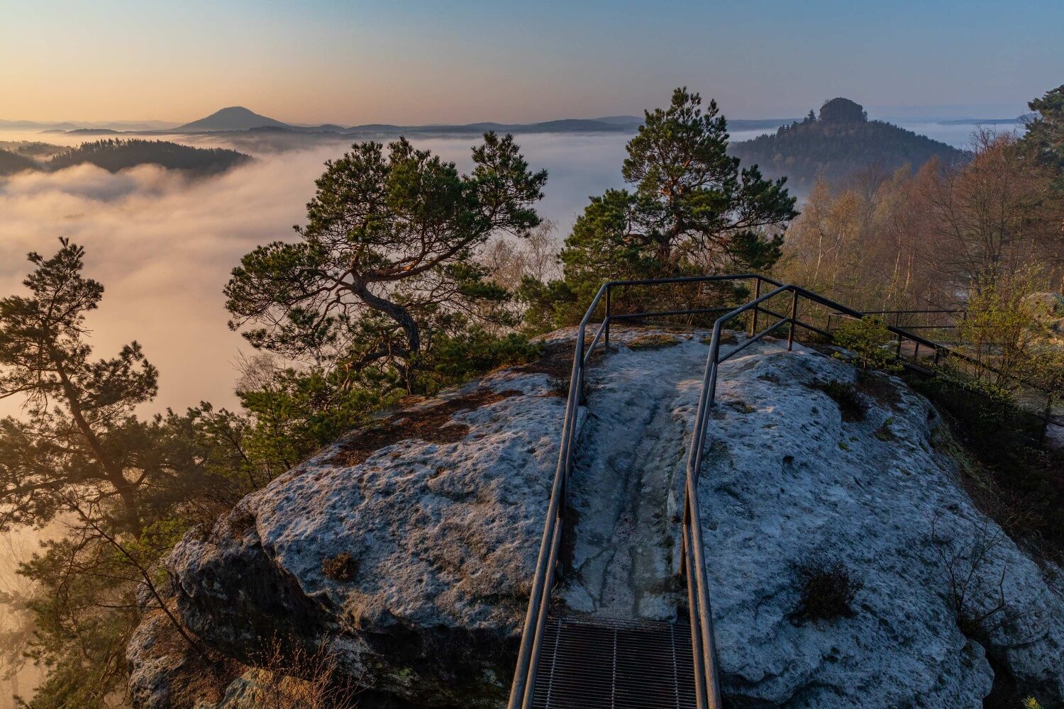

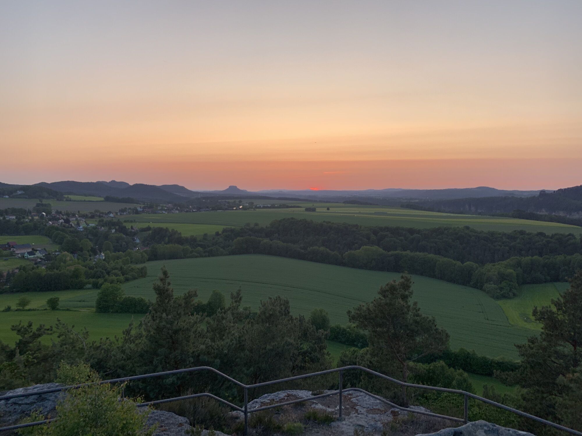
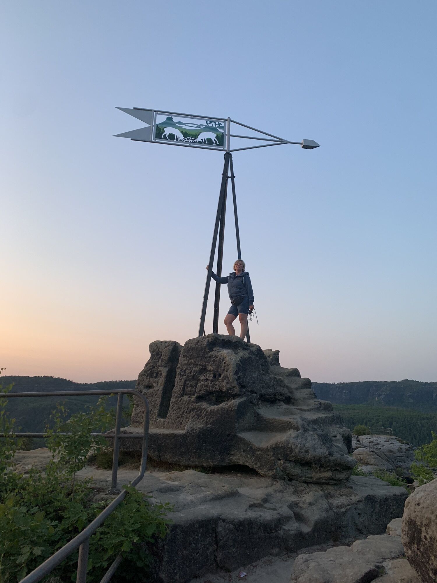
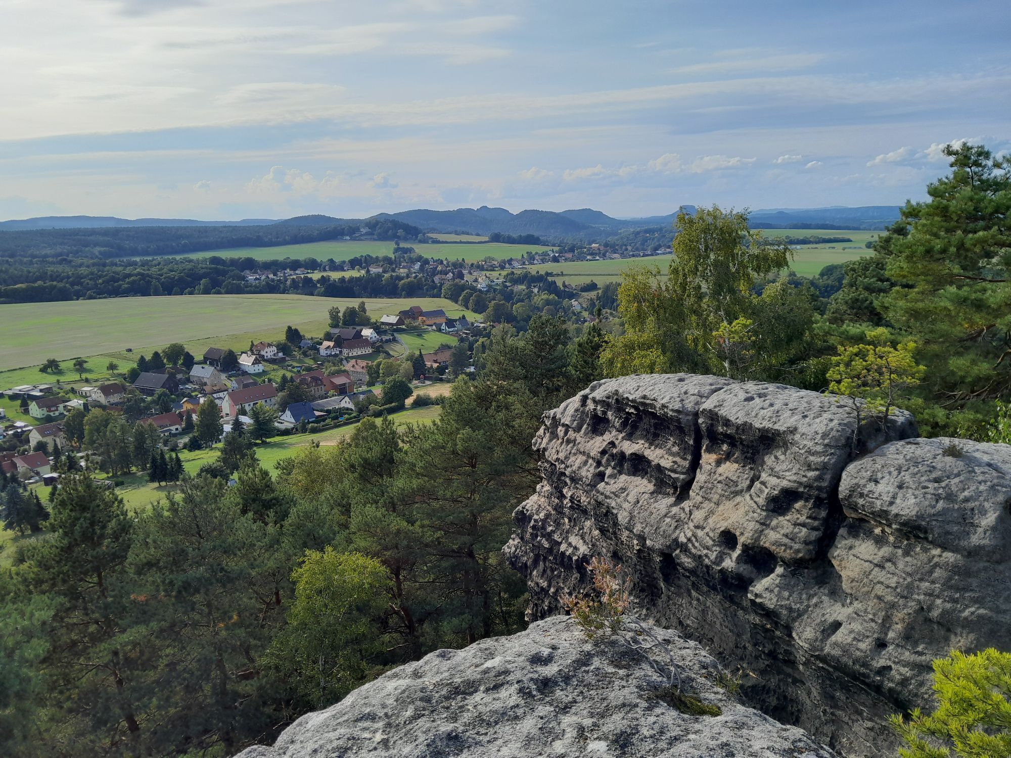
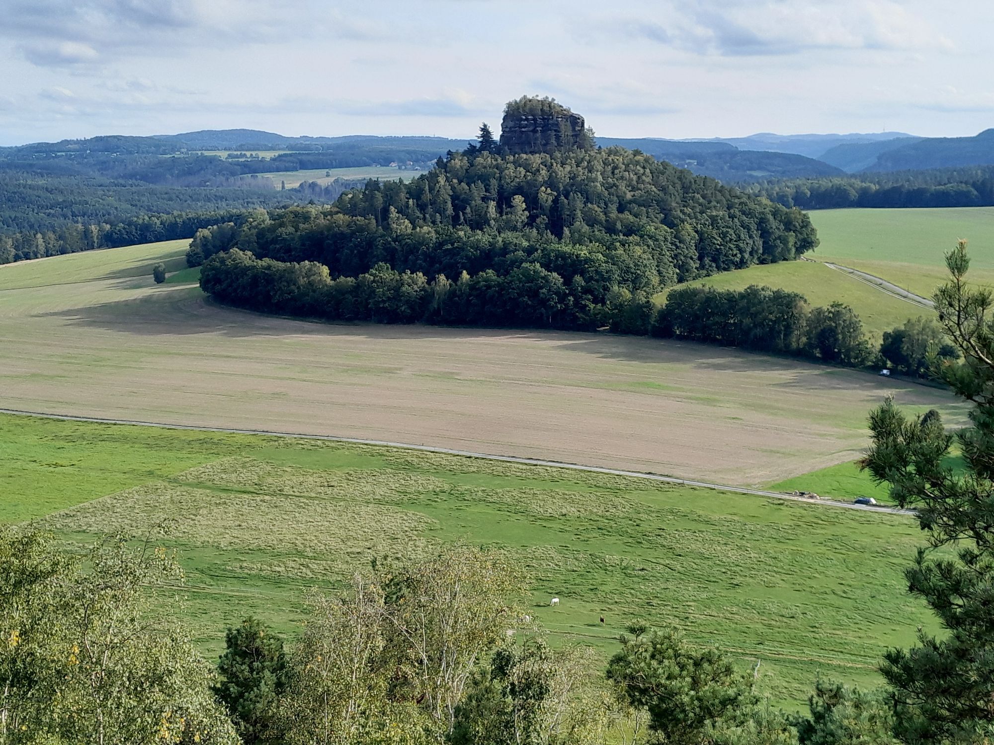
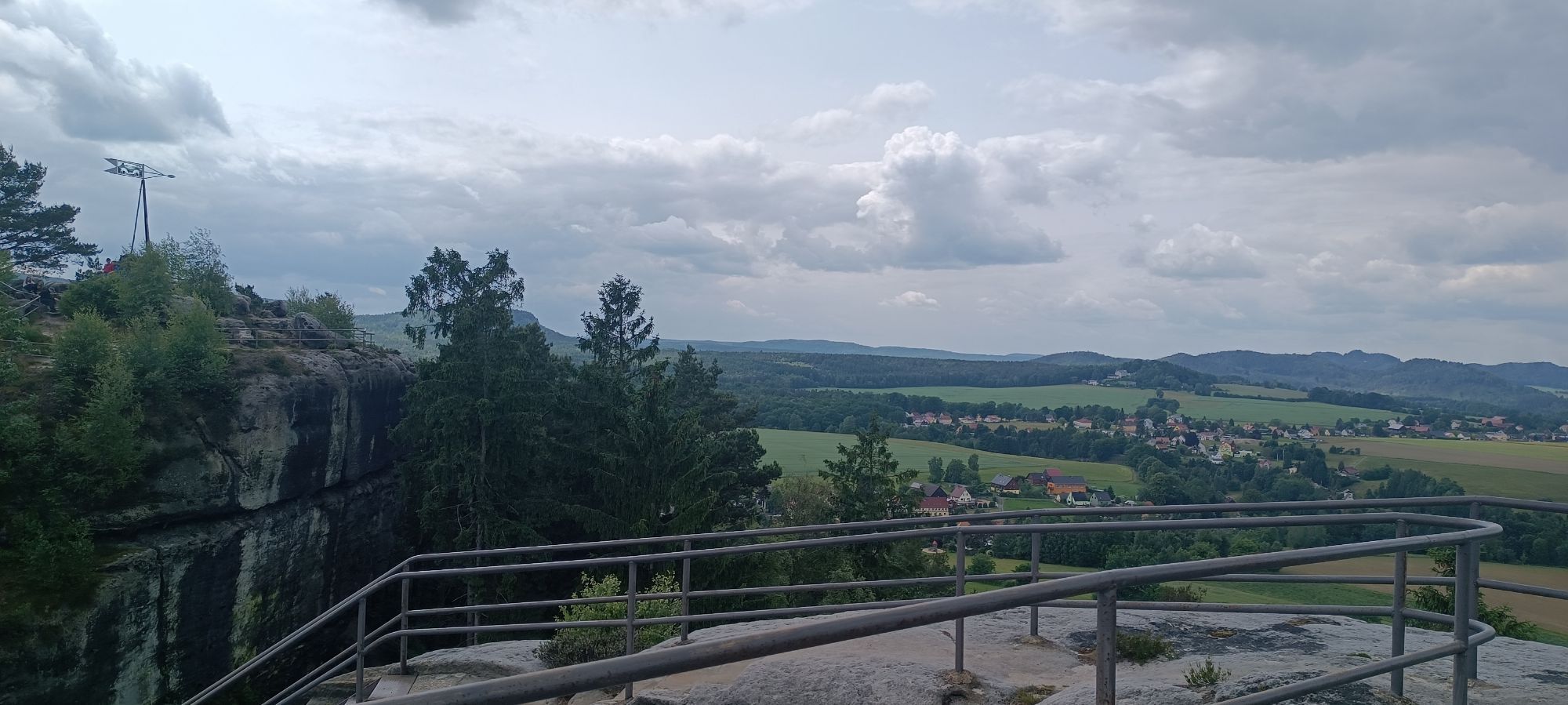
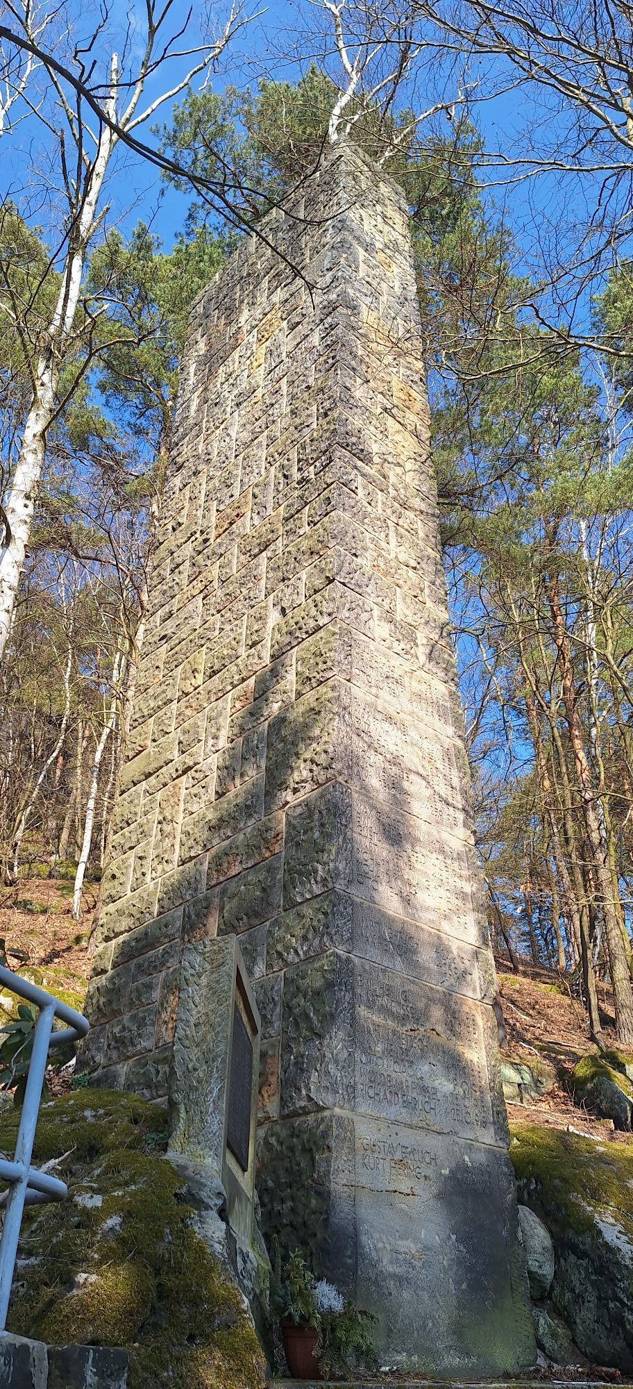
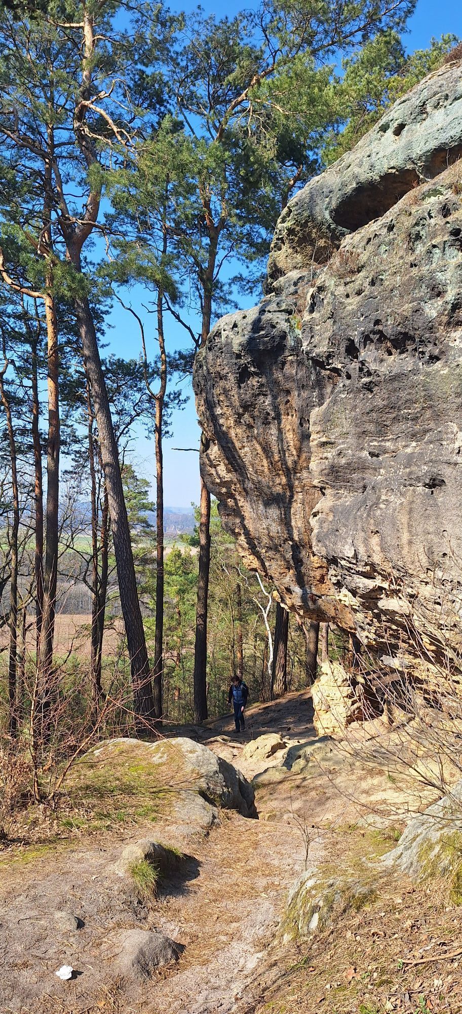
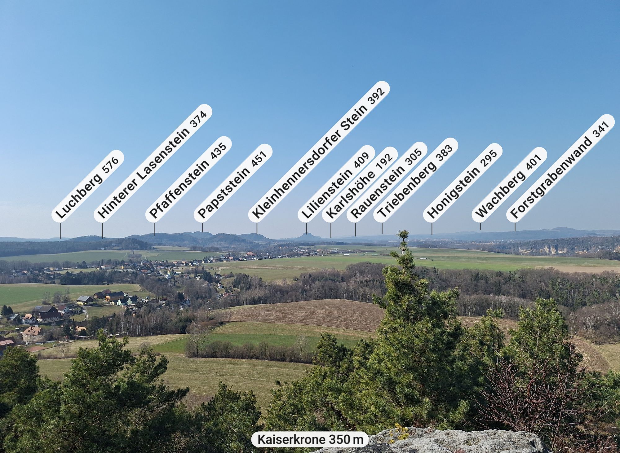
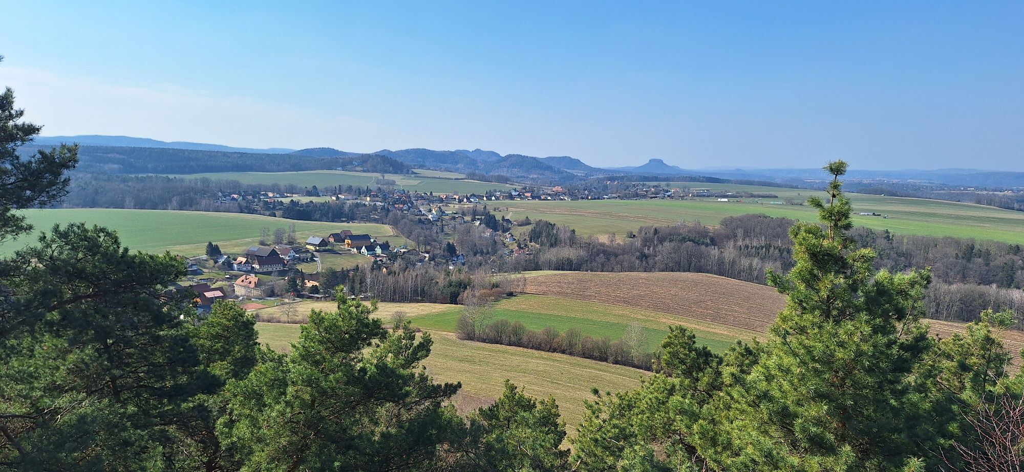
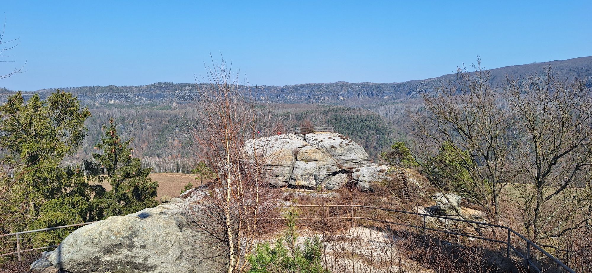
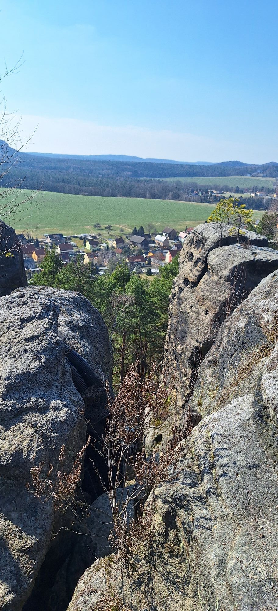
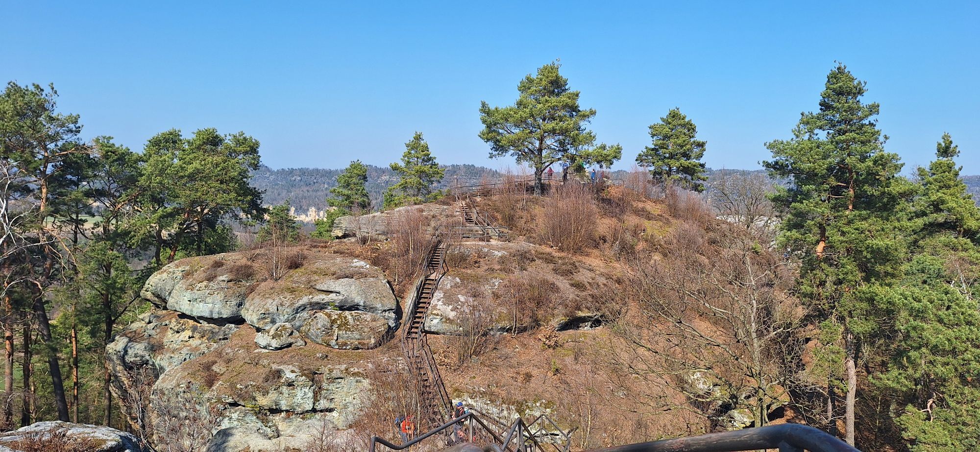
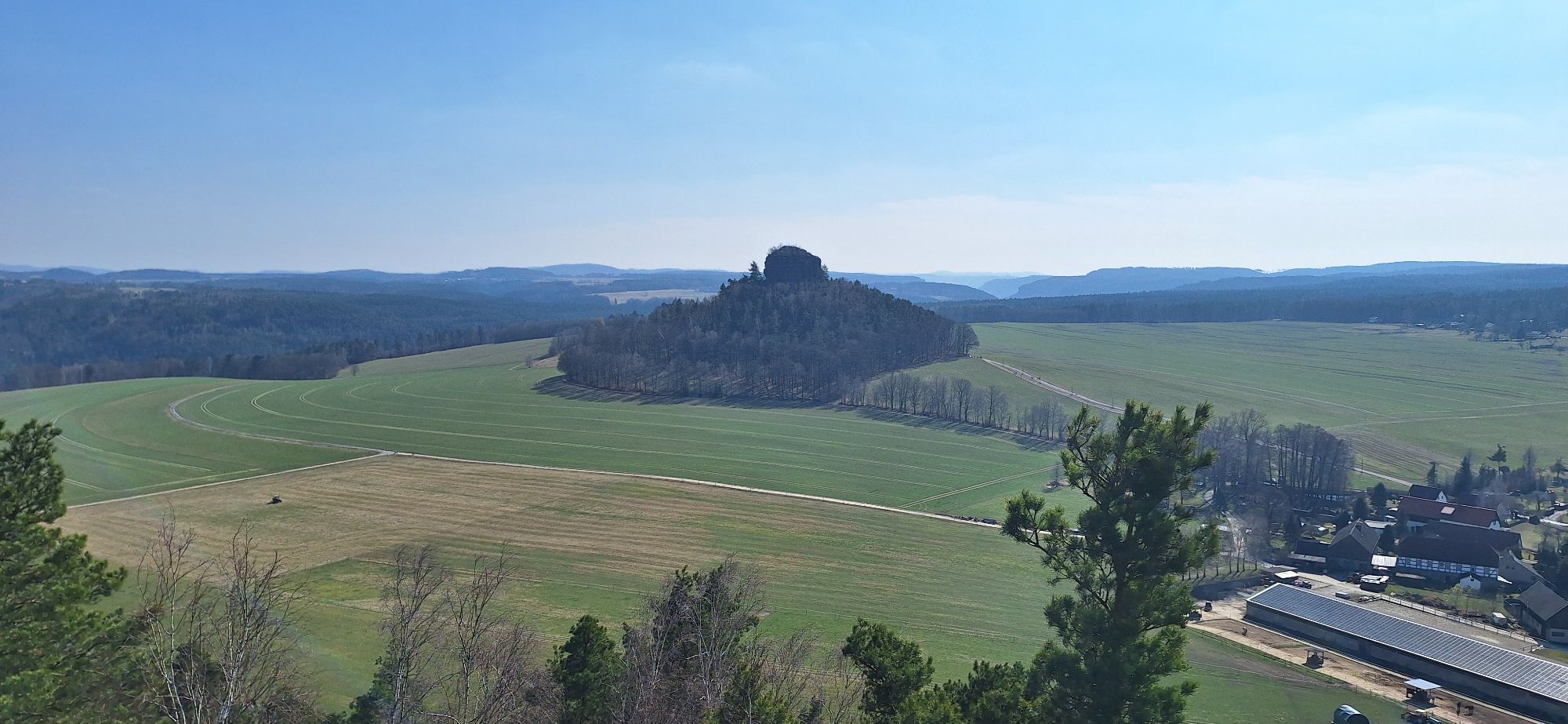
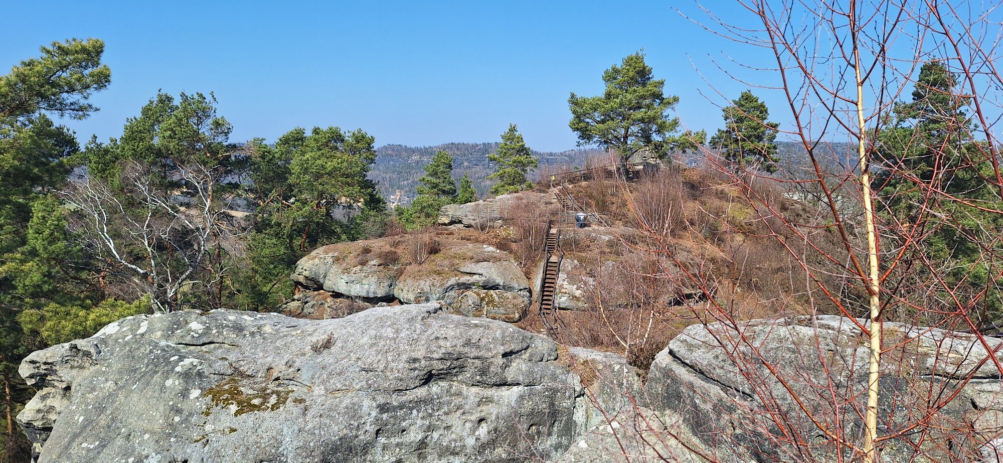
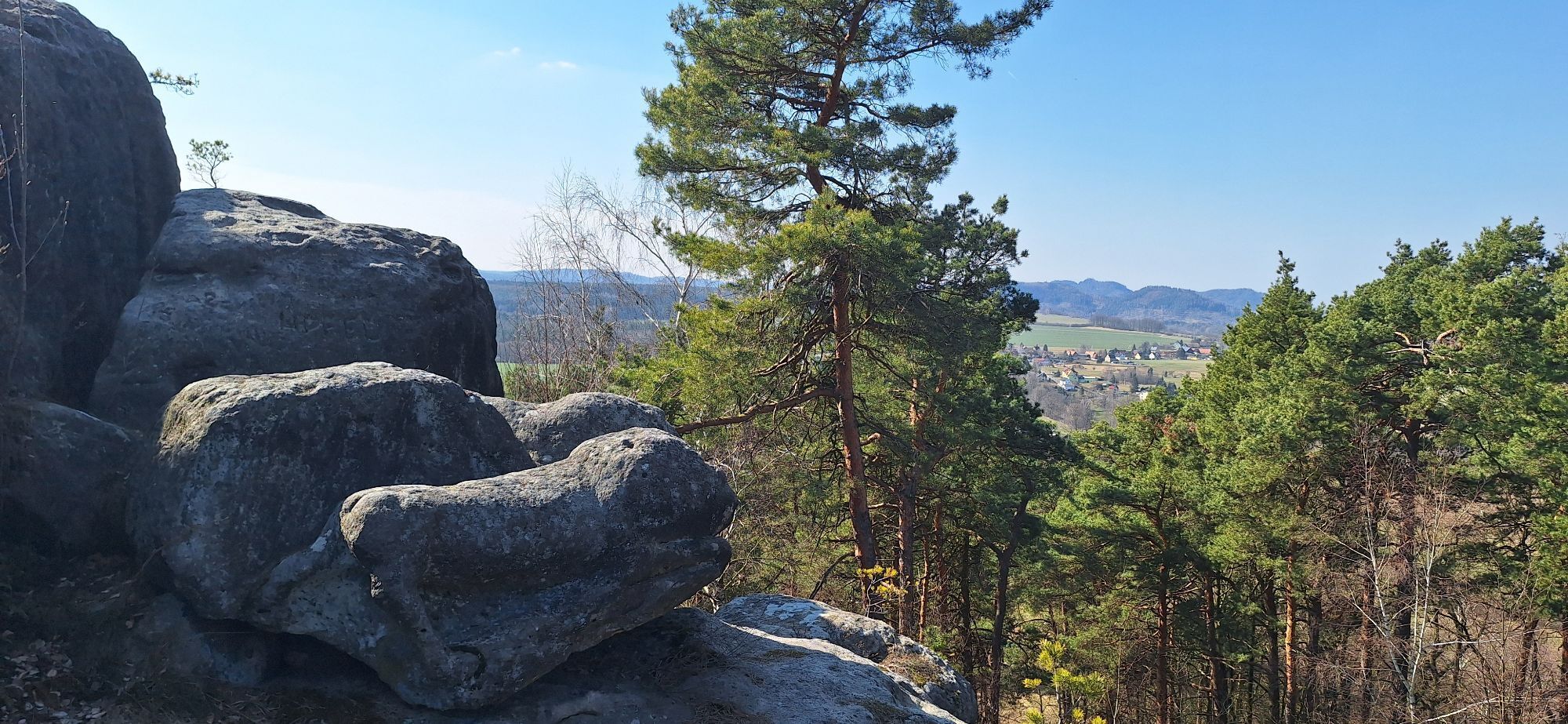
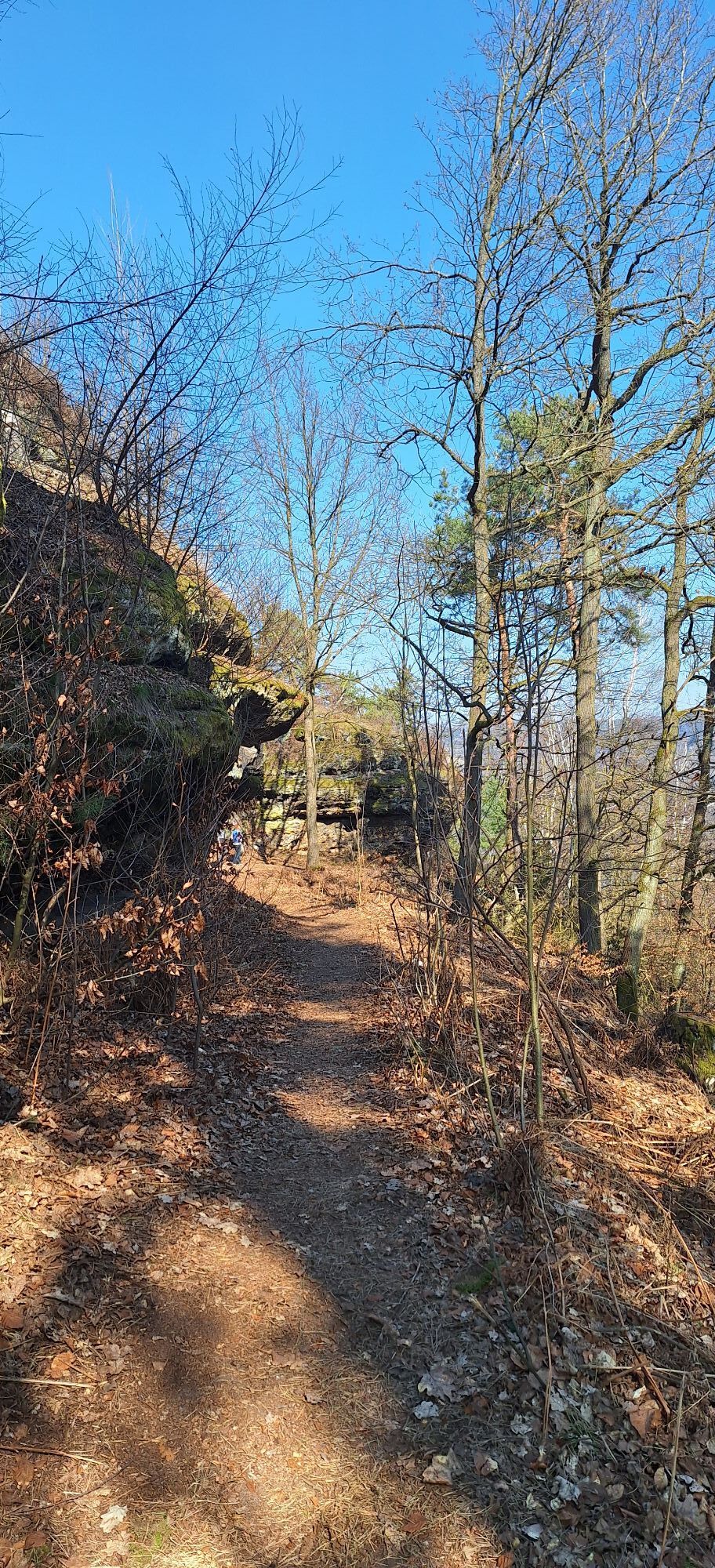
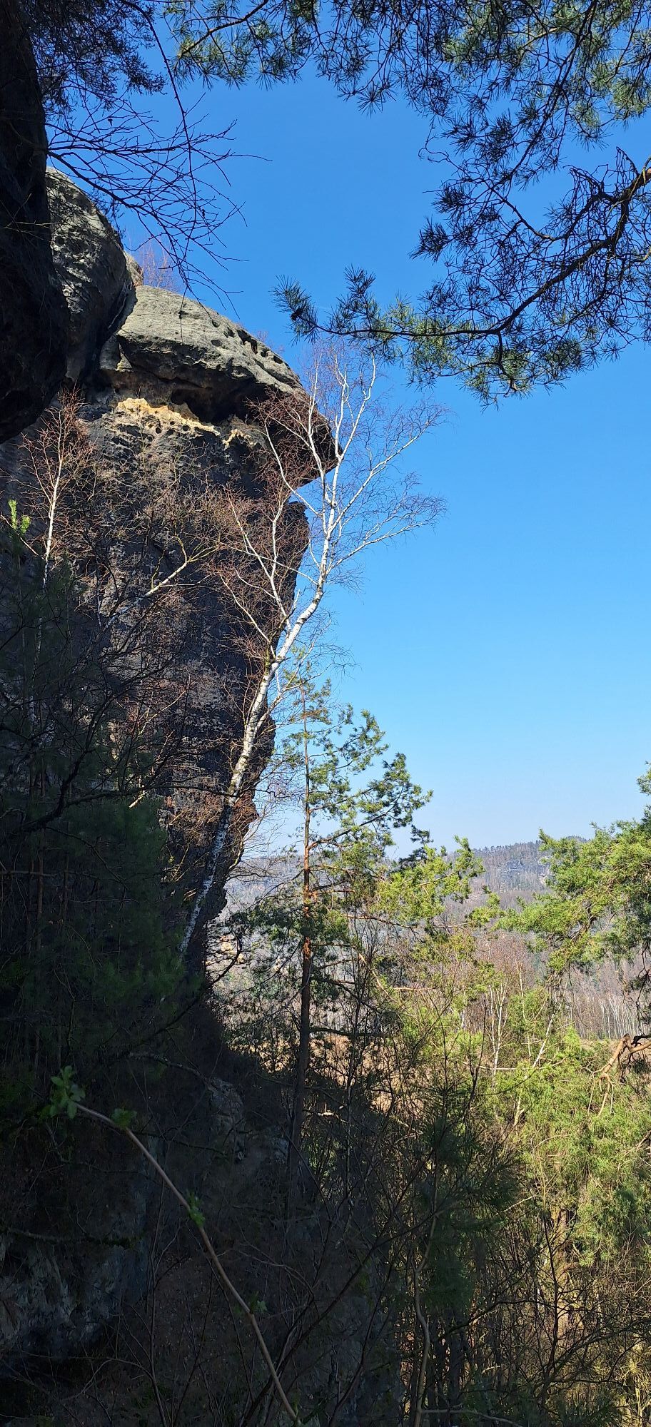
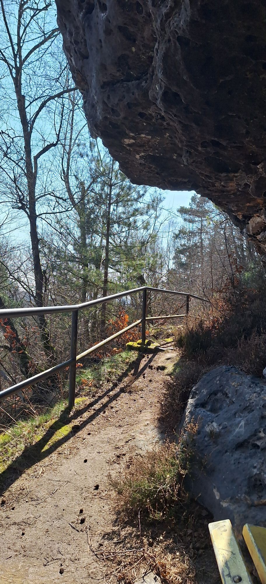
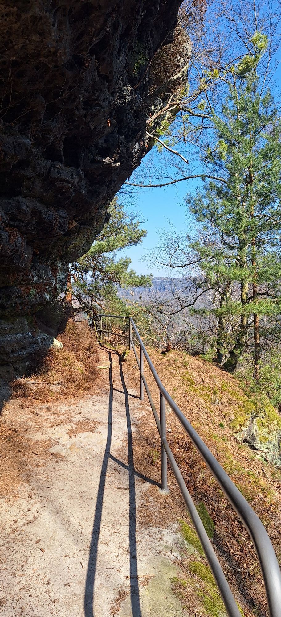
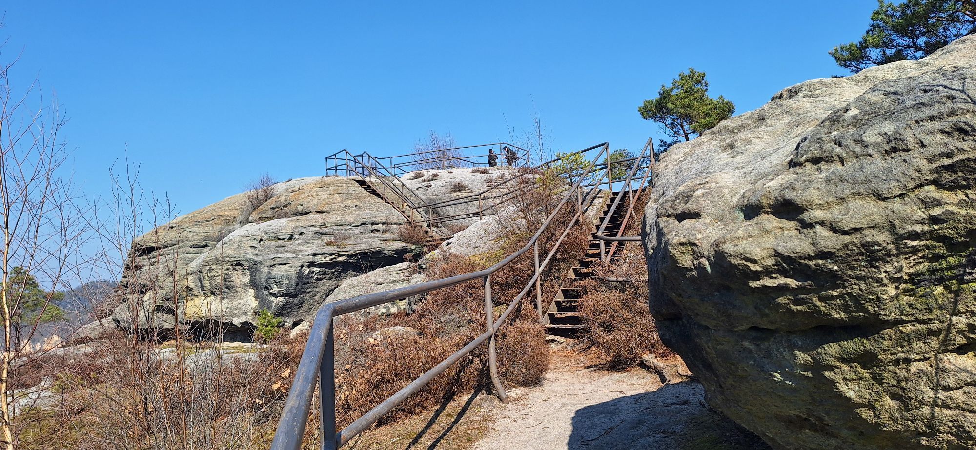
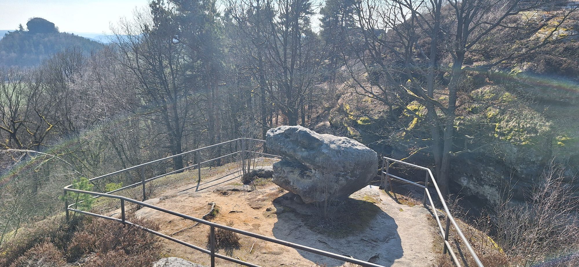
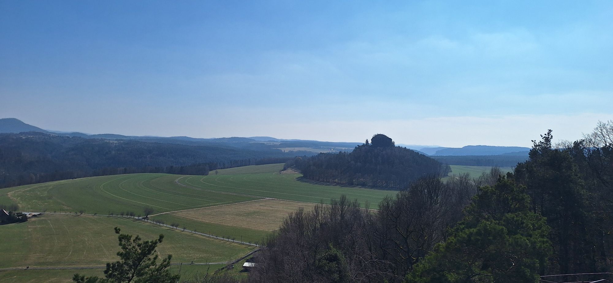
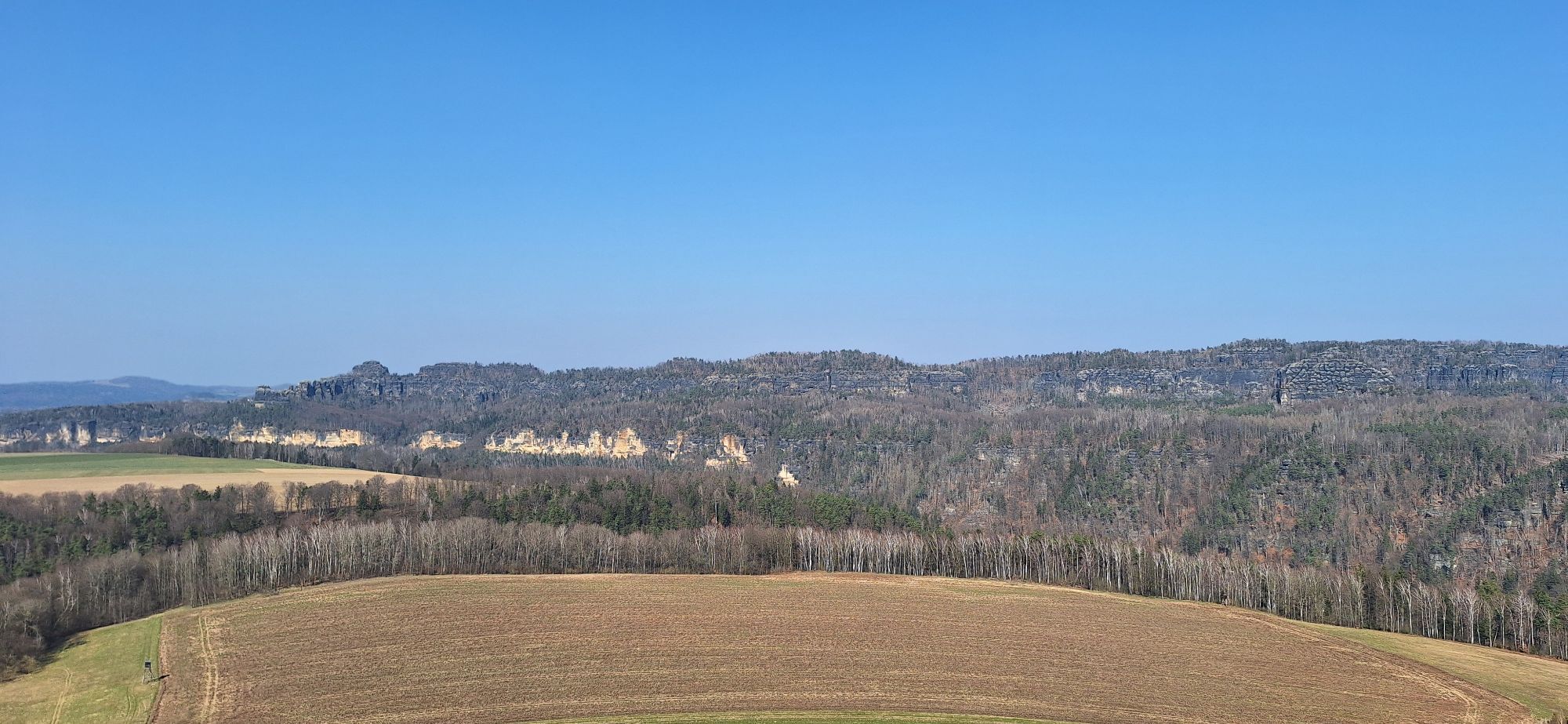
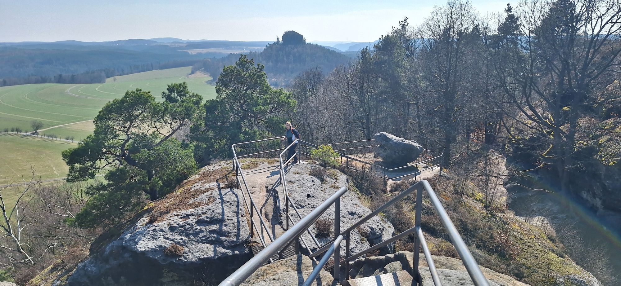
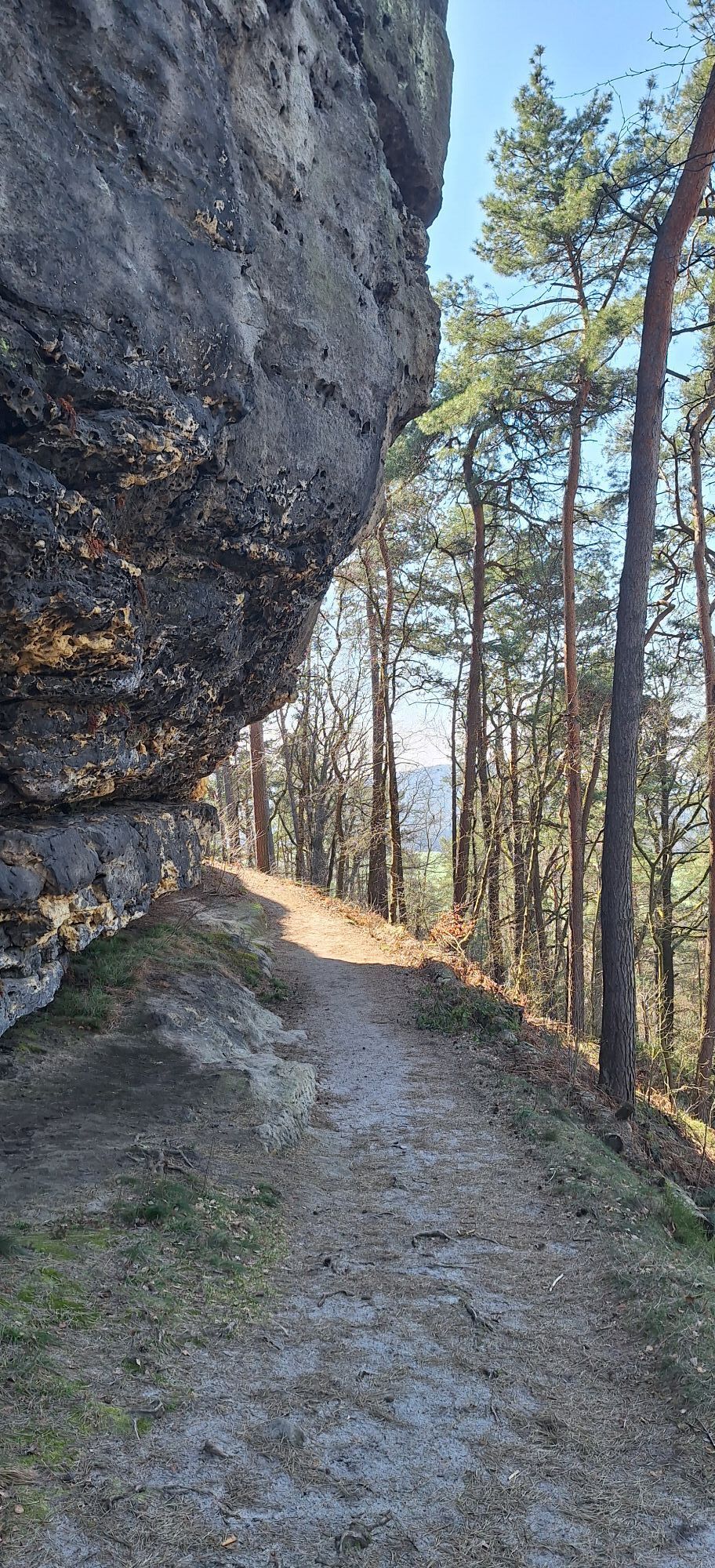
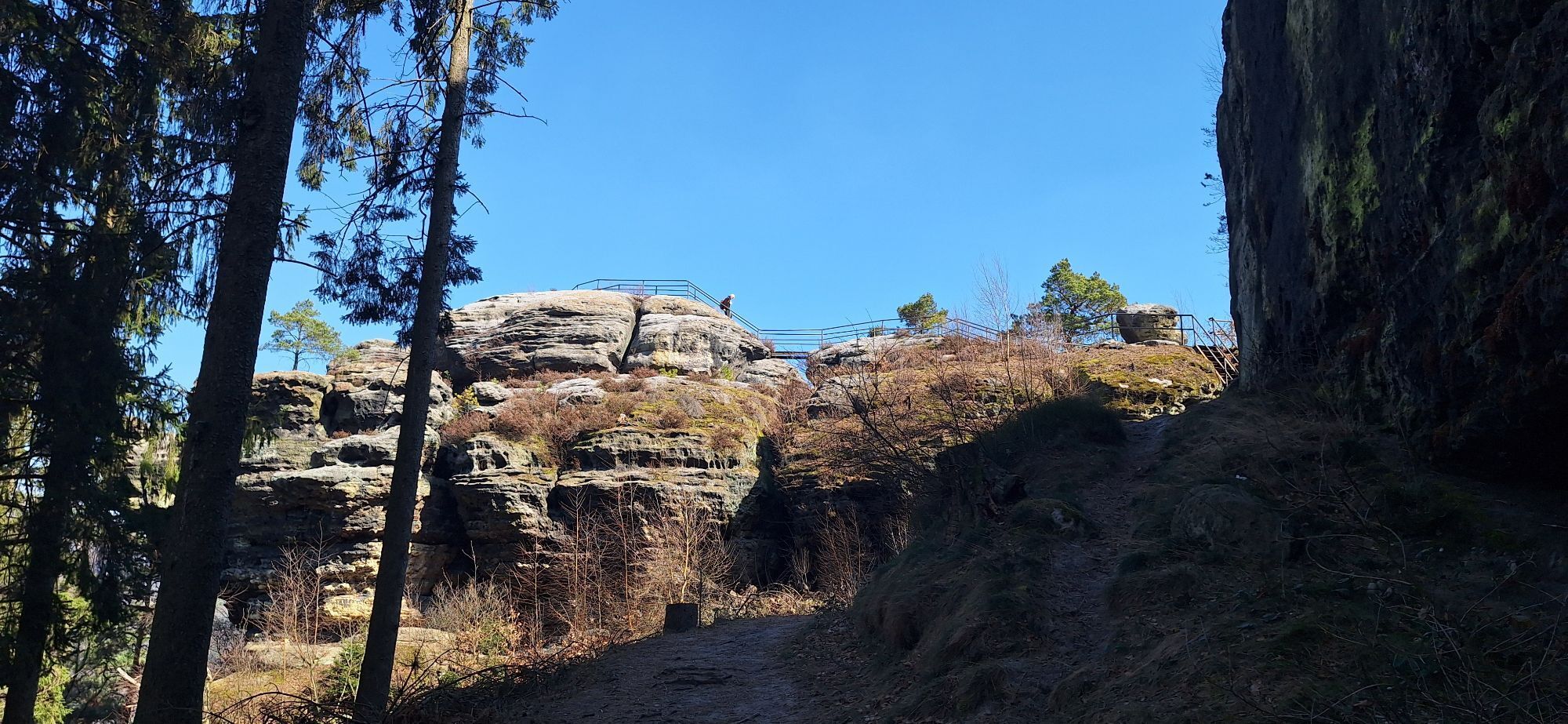
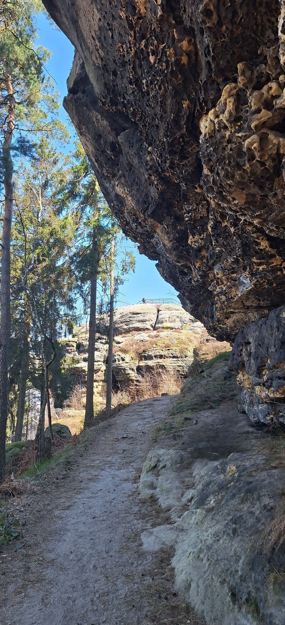
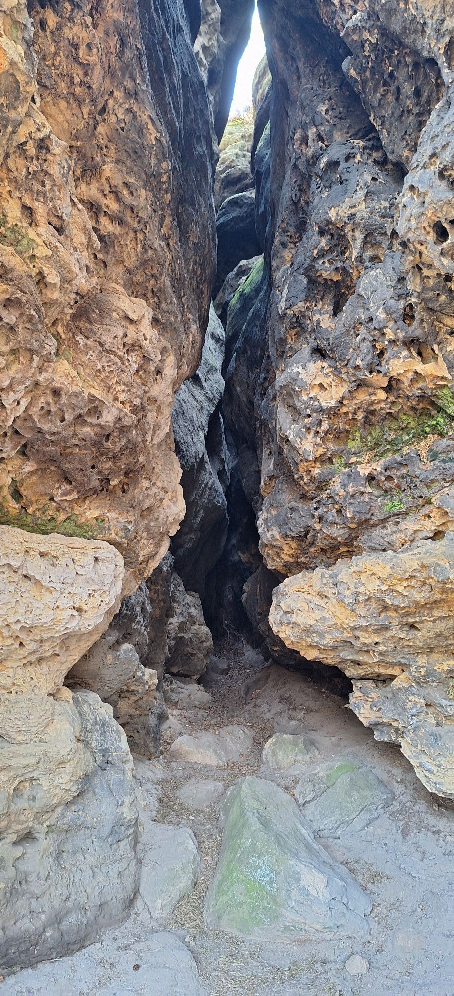
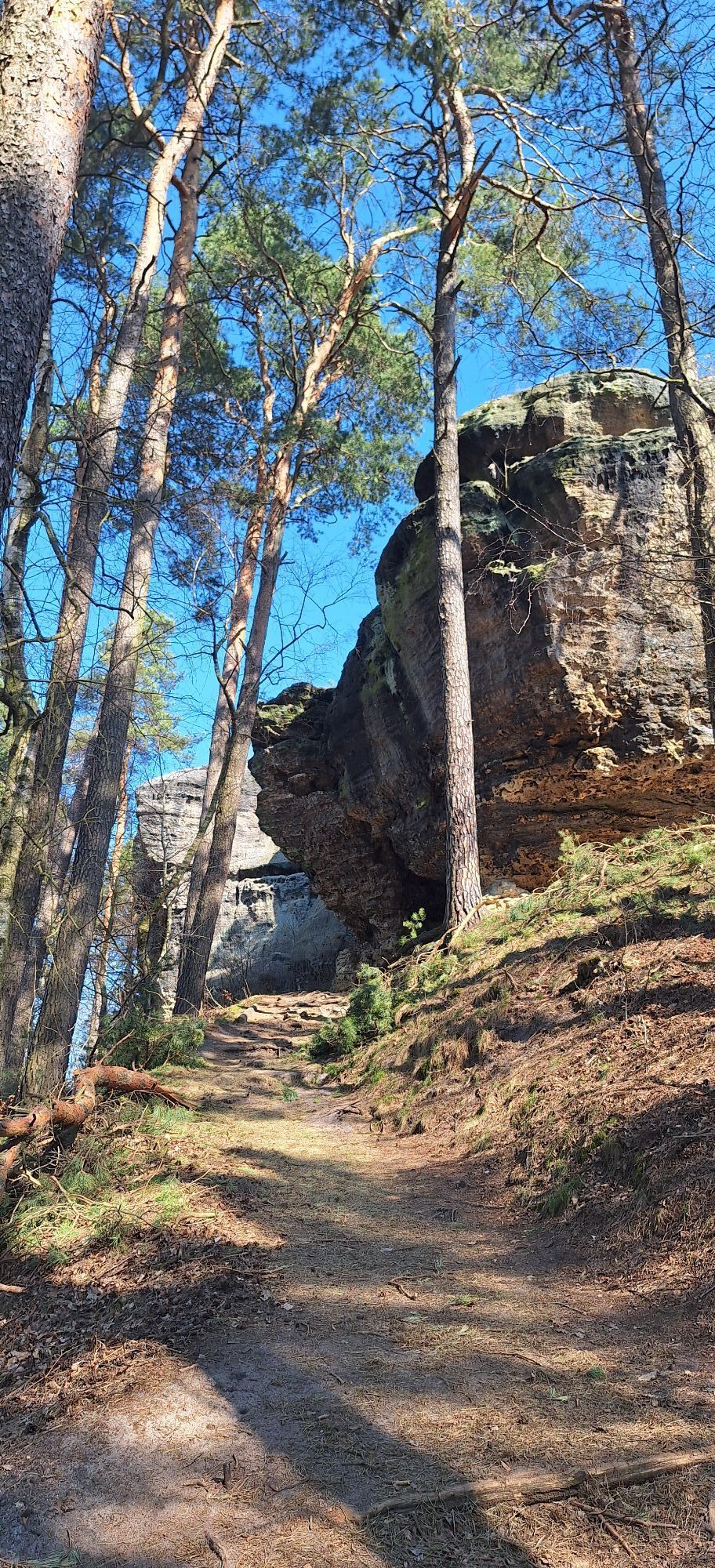
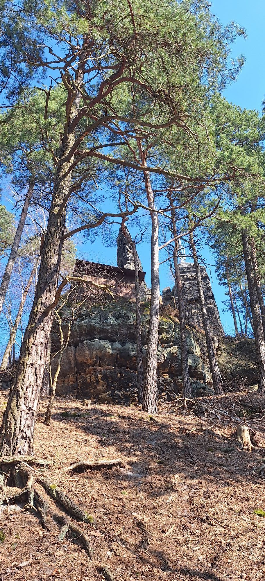
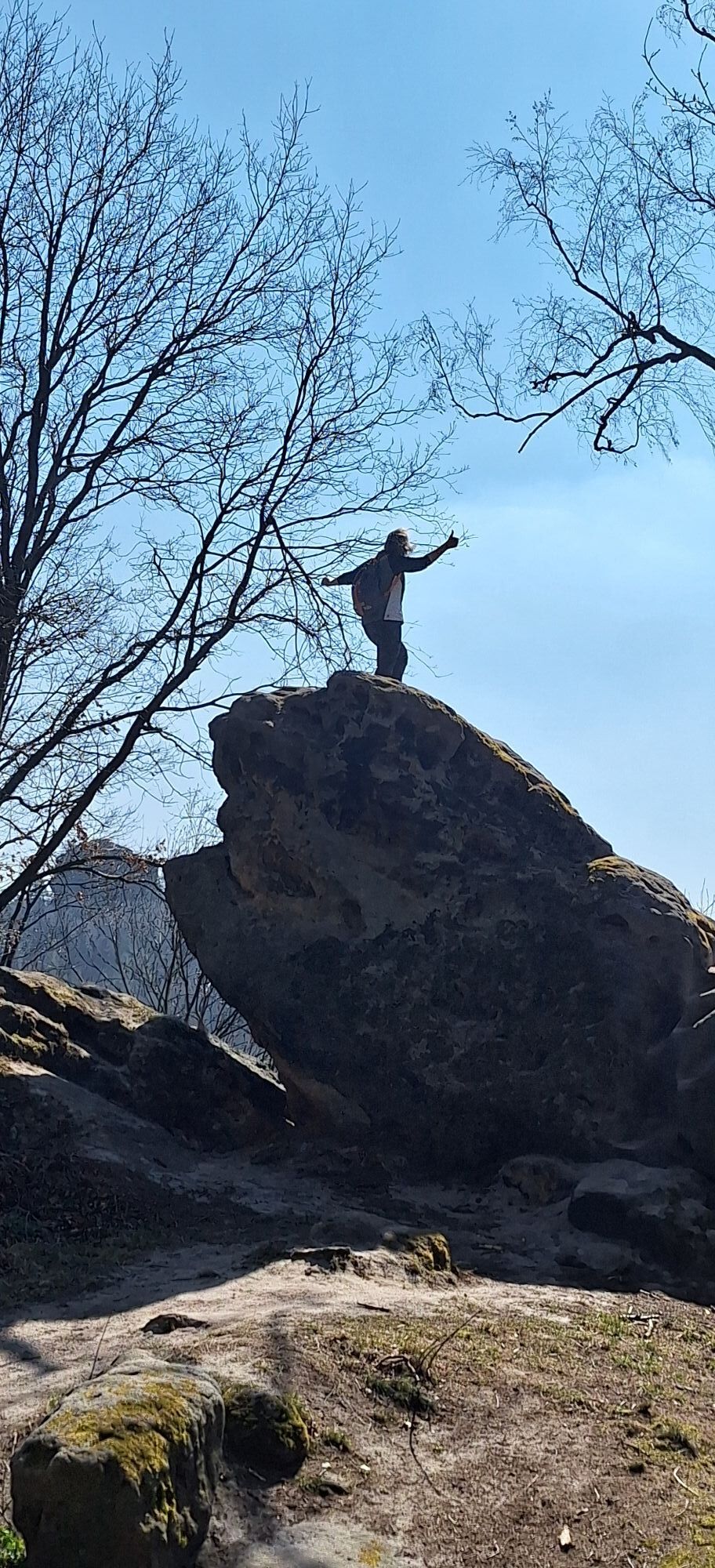
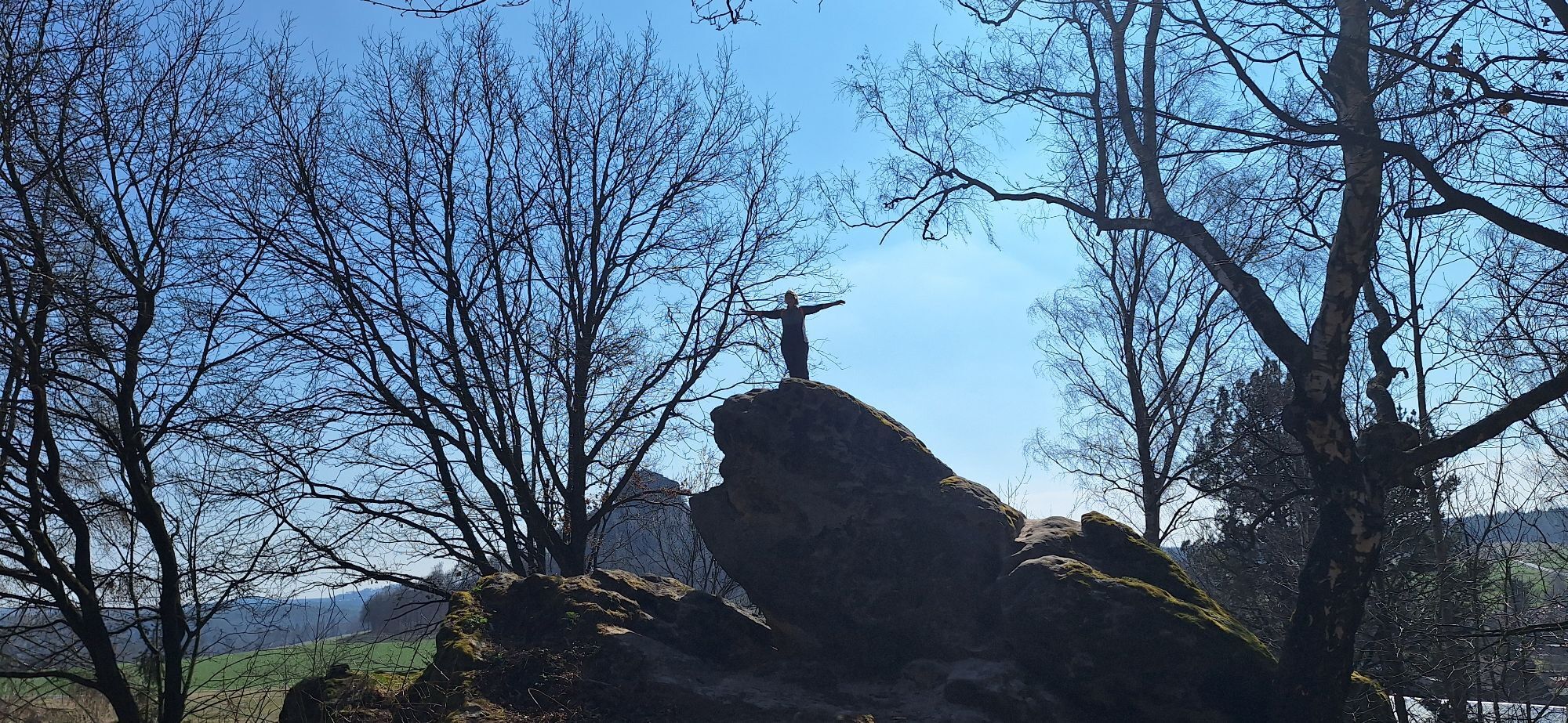
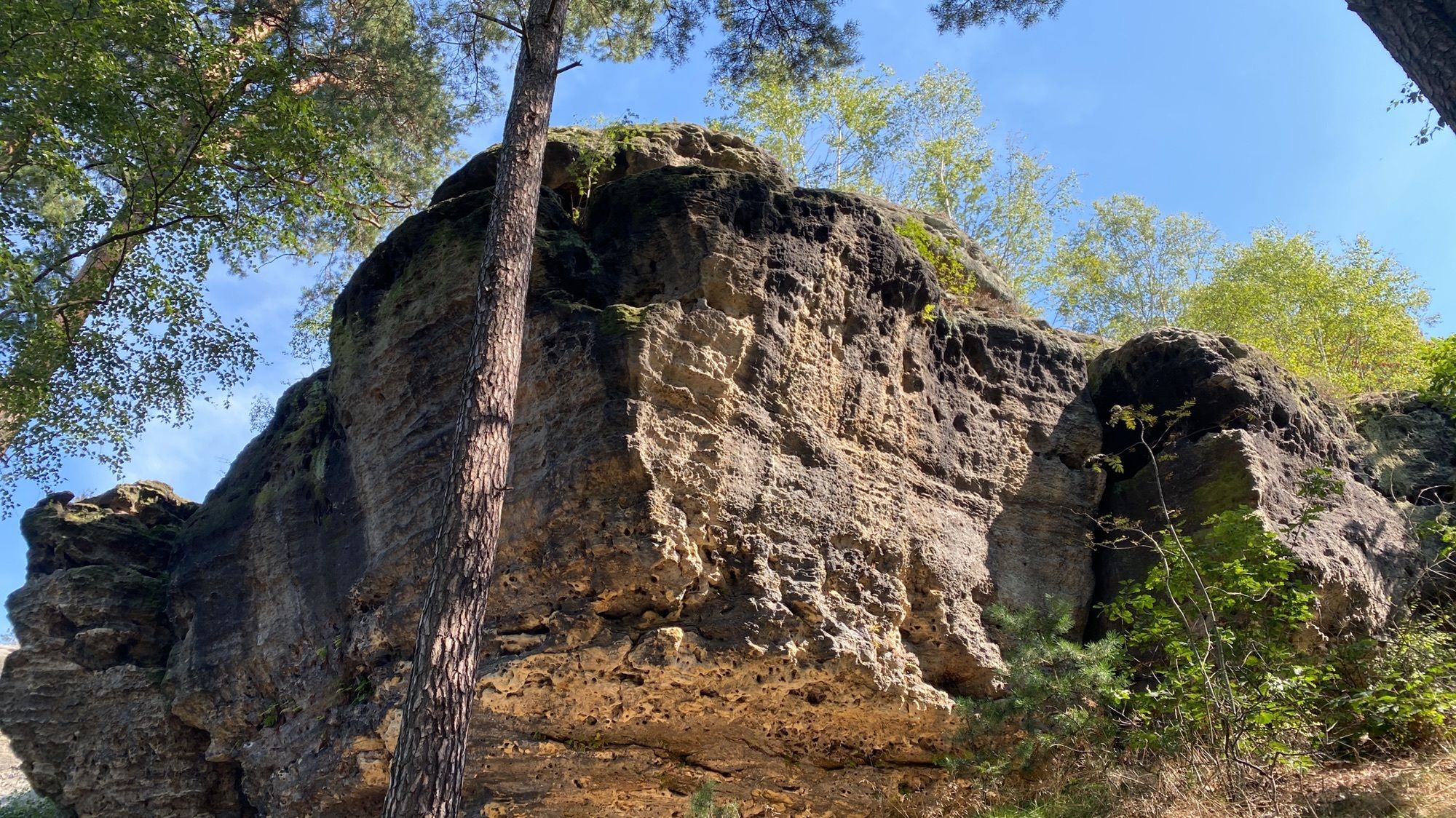
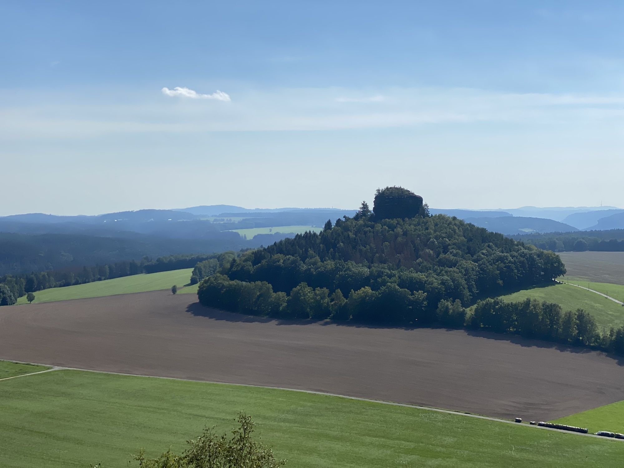
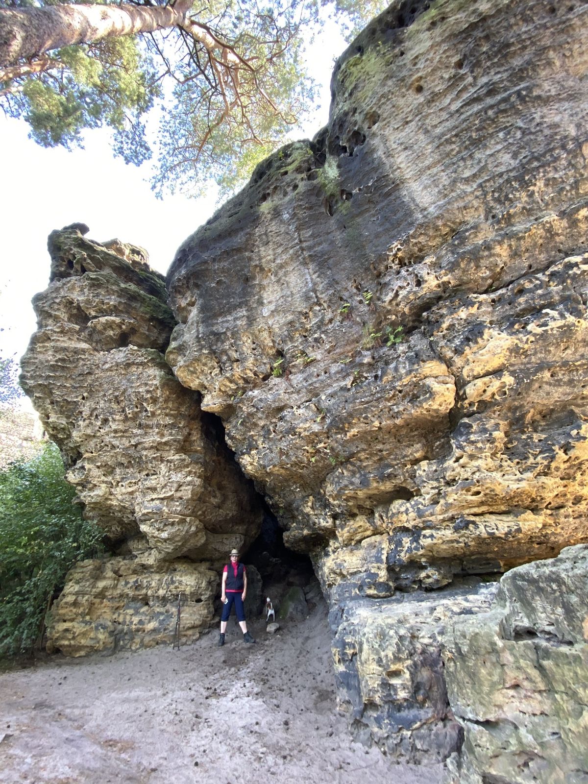
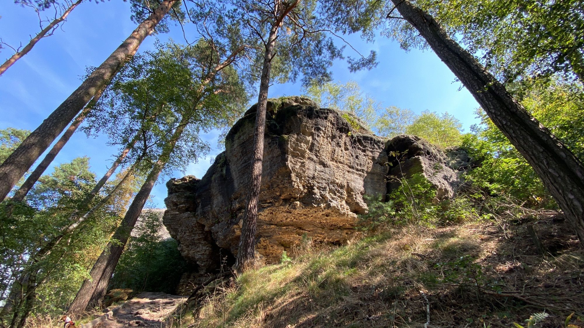
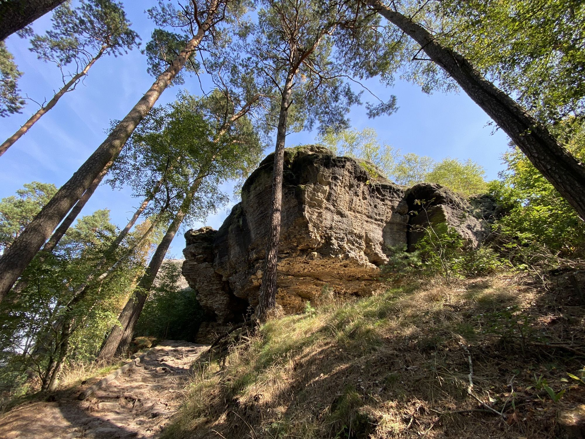
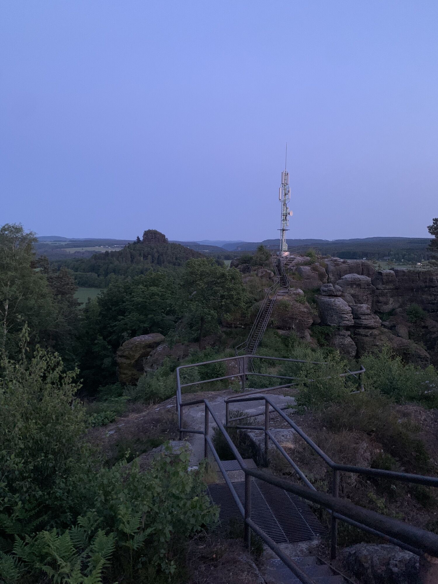
After arriving by S-Bahn at Krippen station, the Caspar David Friedrich Trail begins at the car park in the Bad Schandau district of Krippen. The tour takes us under the railway road and only a few metres later, at the playground near the Krippen ferry, we see the first information board. This board displays general information about the painter and the hiking trail. We continue along the Elbe cycle path and soon reach the next two boards. Here Friedrich's Liliensteinblick and the quarry motif are shown. Now you have to climb up the slope a little to reach the middle slope path. Just a few steps further on, you can climb up to the small bastion and explore the remains of the former quarries. We continue on the Mittelhangweg for about 4 kilometres until we reach the Hirschgrund and turn towards Schöna. In between, we see 2 more information boards on Caspar-David Friedrich on the Mittelhangweg. Right at the beginning of the Hirschgrund, the next panel shows Friedrich's rock motifs from the Hirschgrund. Now we hike up to Schöna and orient ourselves in the direction of the Kaiserkrone. The next plaque is at the foot of this rugged mountain. It shows a boulder and at the same time the inspiration that came from Saxon Switzerland to Caspar-David Friedrich. The following ascent to the Kaiserkrone is definitely worthwhile, as it is relatively pleasant and not that difficult. Once you have made the ascent and enjoyed the beautiful view, you head back towards Reinhardtsdorf-Schöna. We cross the district of Schöna and set course for the Wolfsberg. Up here on the Wolfsberg you also have a great view, the next information board about the painter and the opportunity to take a break, either gastronomically or with your own picnic. After this break and the following descent, we walk back to the district of Reinhardtsdorf. After the end of the settlement, there are 2 more information boards about Caspar-David Friedrich, showing tree studies and a moon view by him. Now we are already back in Krippen and can end our tour again at the car park.
Get a hiking guide book.
Medium-difficulty circular hike with lots of information about the famous painter, refreshment stops available.
Take the A17 to the Pirna exit, then continue on the B 172 towards Königstein/ Bad Schandau. Just before the Elbe bridge in Bad Schandau, turn right towards Krippen.
Buslinie 252 (Schöna - Bad Schandau - Schmilka), stop: Krippen Zum Kohlbornstein
Ferry, Wanderschiff (Hiking-Ship)
Car park - railway subway
Einkehr geöffnet:
Gasthaus & Pension Zirkelstein
Restaurant im Hotel Elbpromenade
Ziegelscheune
Obtenez un aperçu Toujours en direct avec plus de 9.500 webcams. En tant qu'utilisateur Pro, vous pouvez désormais voir les webcams correspondantes à de nombreuses randonnées dans l'application de randonnées de bergfex. Vous pouvez ainsi voir directement les conditions actuelles.Parcours populaires à proximité
- 4,7
Rathen / Hockstein / Bastei / Rathen
moyenRandonnée 14,4 km - 4,6
Von Rathewalde zur Bastei
Randonnée 12,8 km - 4,7
Rundwanderung Bastei Schwendenlöcher -Amselsee
facileRandonnée 6,21 km - 4,5
Kuhstall, Himmelsleiter und Schneiderloch
moyenRandonnée 4,06 km - 4,7
Pfaffenstein Sachsen/Deutschland
moyenRandonnée 3,89 km - 5,0
Basteibrücke
facileRandonnée 2,31 km - 5,0
Lilienstein
facileRandonnée 3,75 km - 5,0
Prebischtor
moyenRandonnée 18,9 km - 4,9
entlang der Schrammsteine, Breite Kluft, Affenwand
moyenRandonnée 11,6 km - 4,4
Kurort Rathen: Große Bastei-Runde
moyenRandonnées d'hiver 4,75 km
Randonnée et suivi


Ne manquez pas les offres et l'inspiration pour vos prochaines vacances
Votre adresse électronique a été ajouté à la liste de diffusion.





