







Cycling around the village of Hinterhermsdorf/Saupsdorf

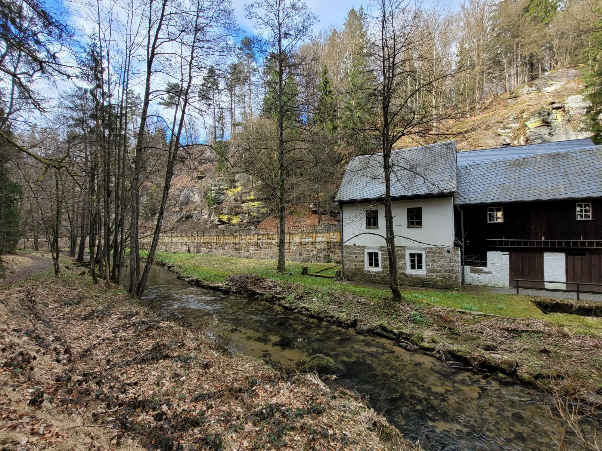
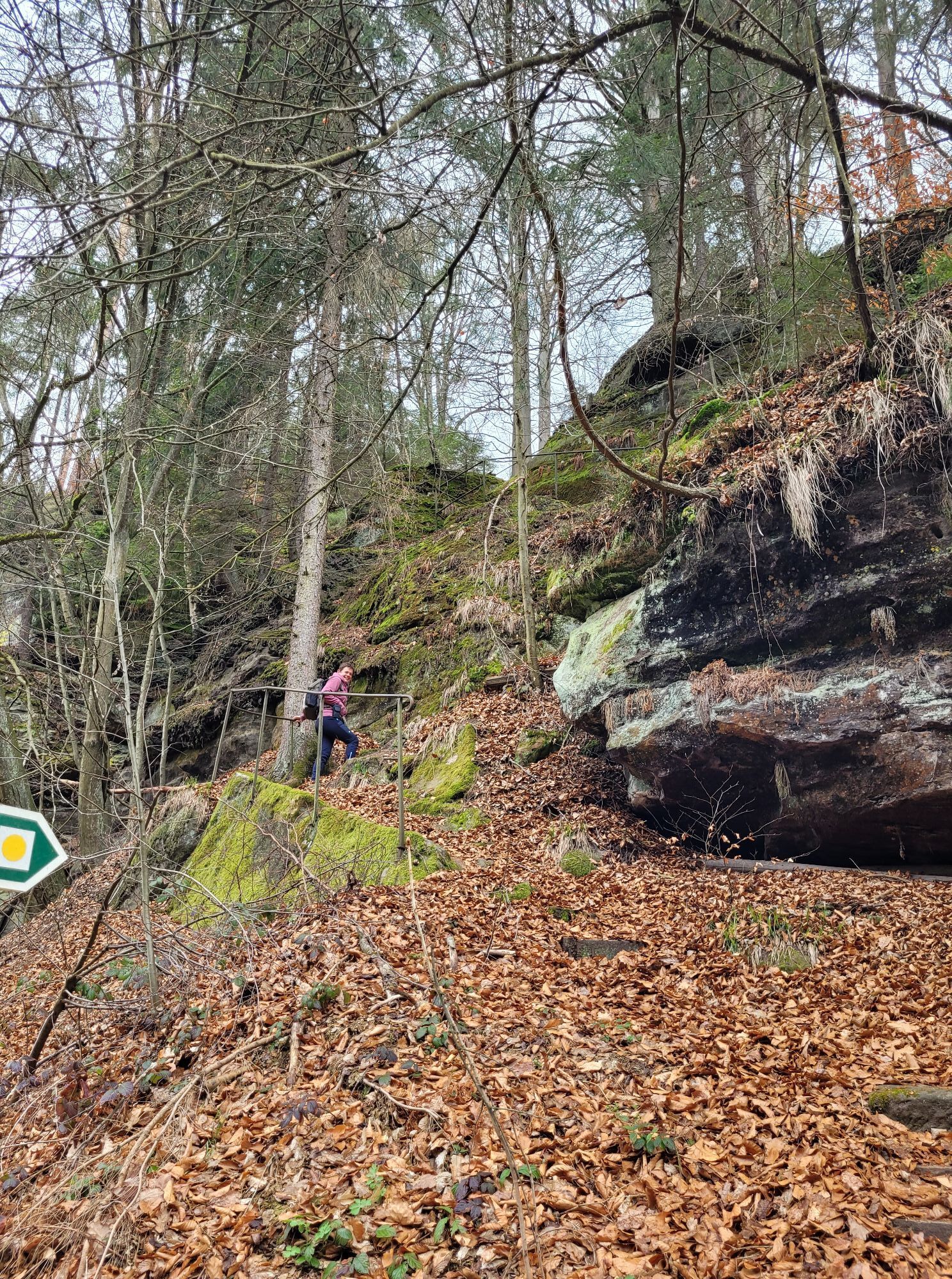
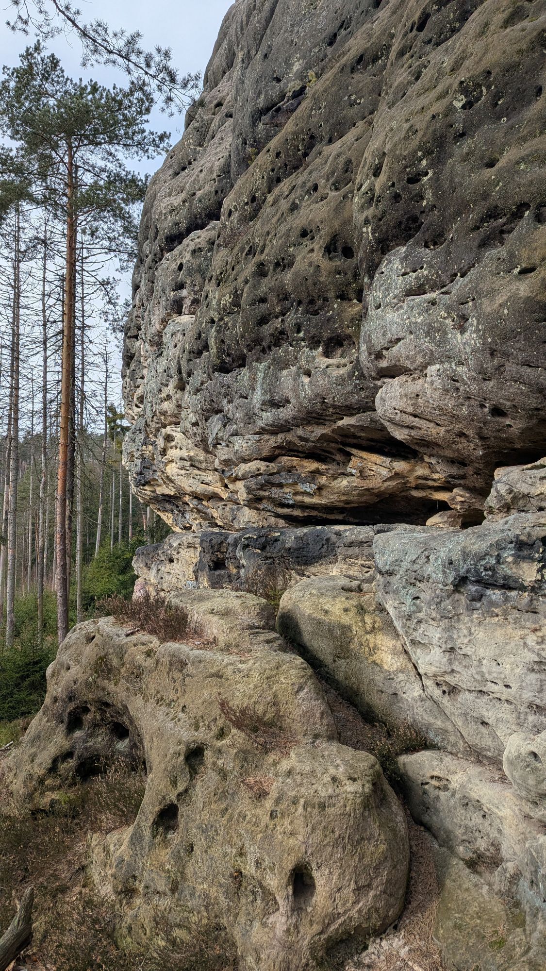
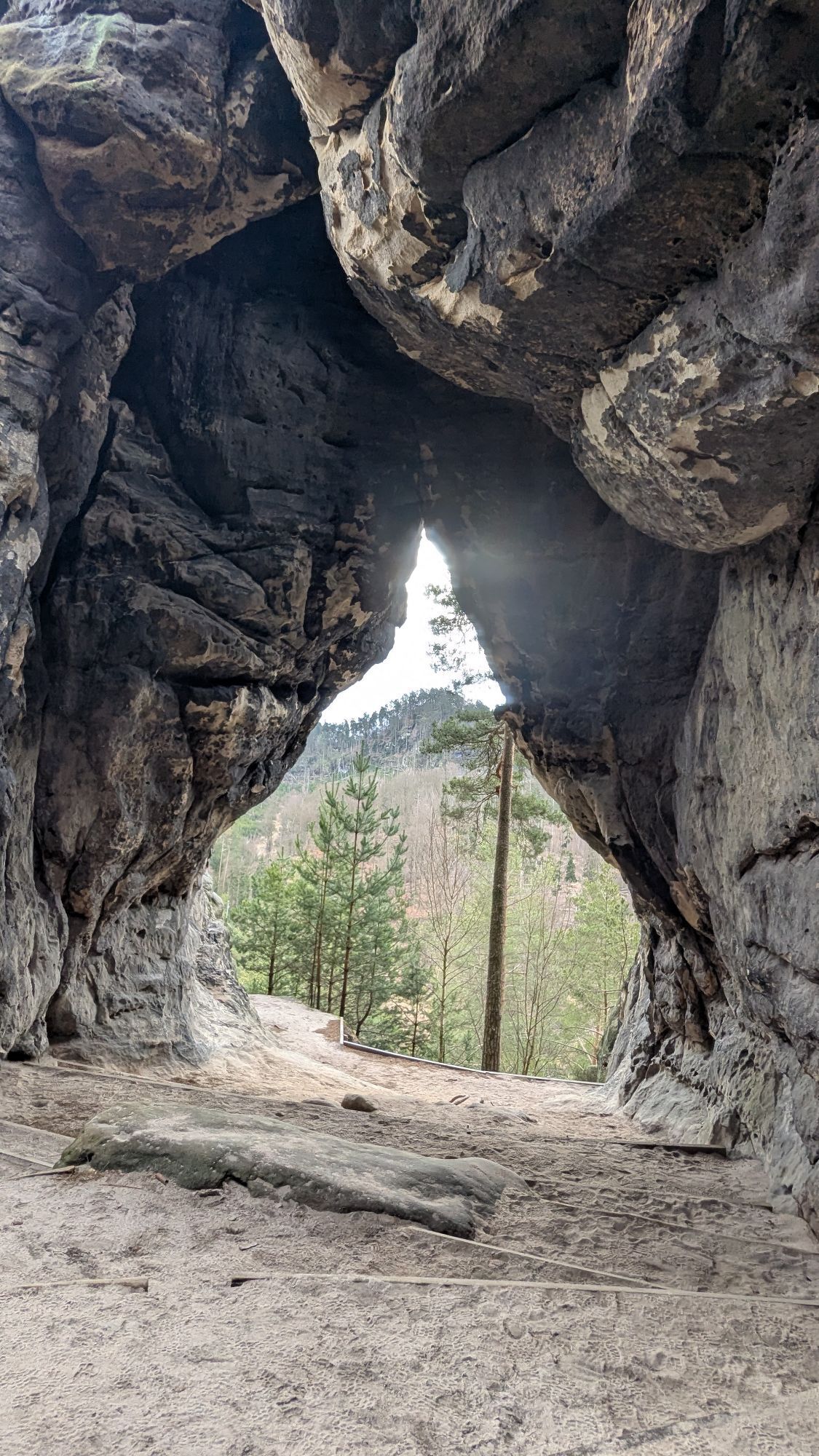
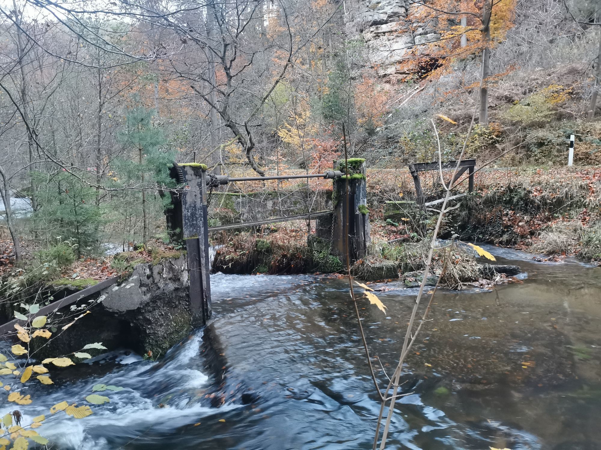
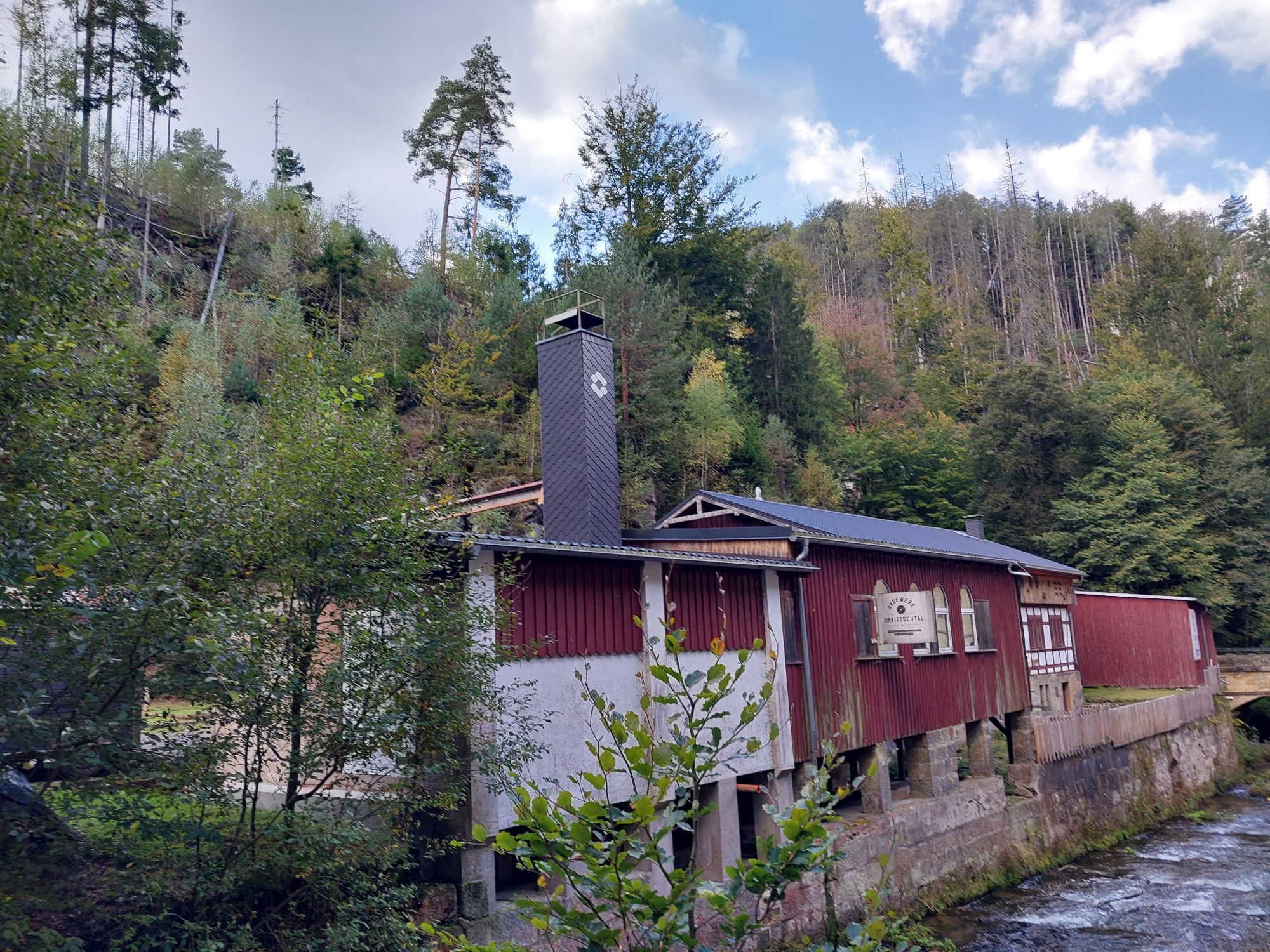
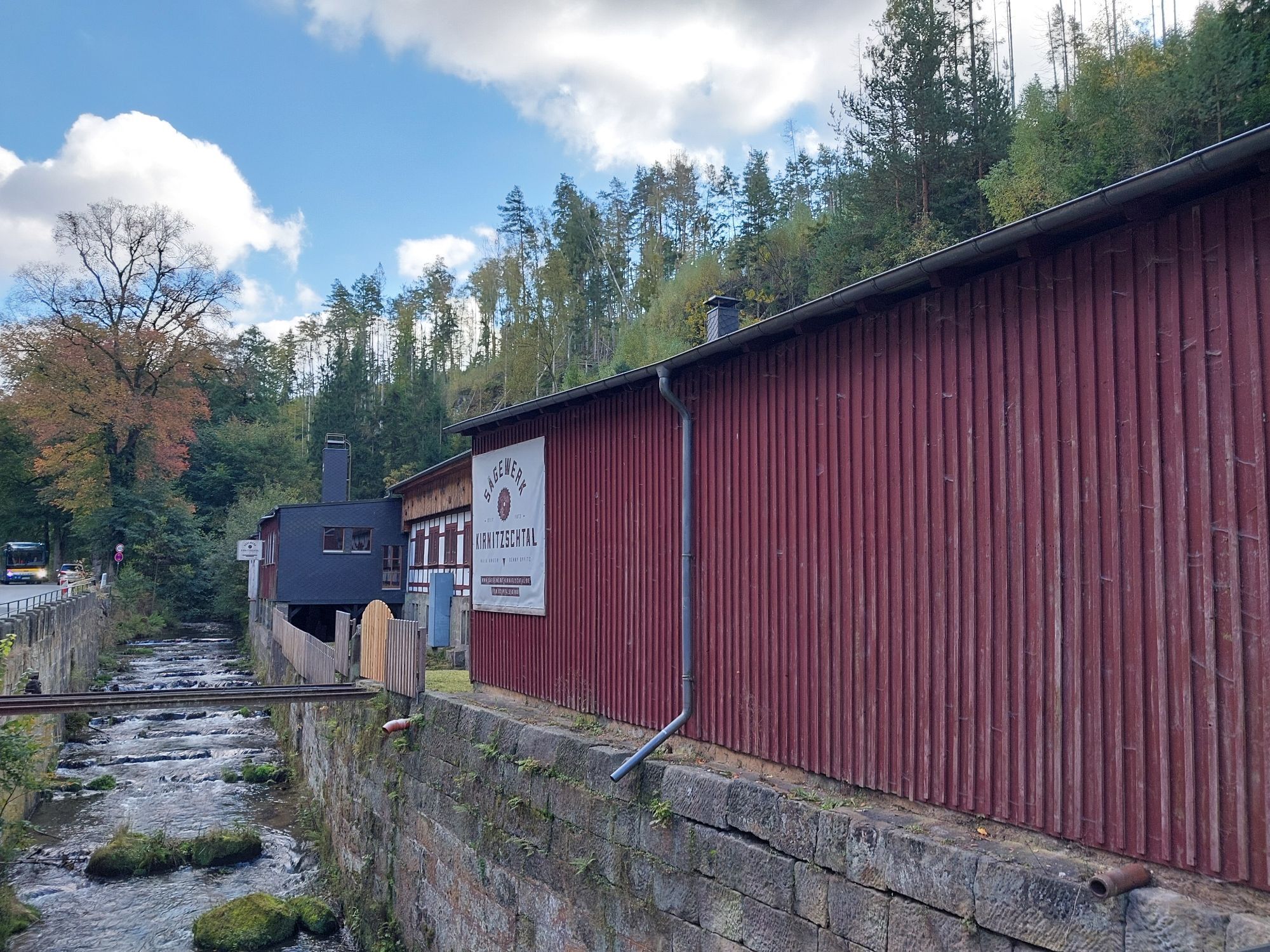
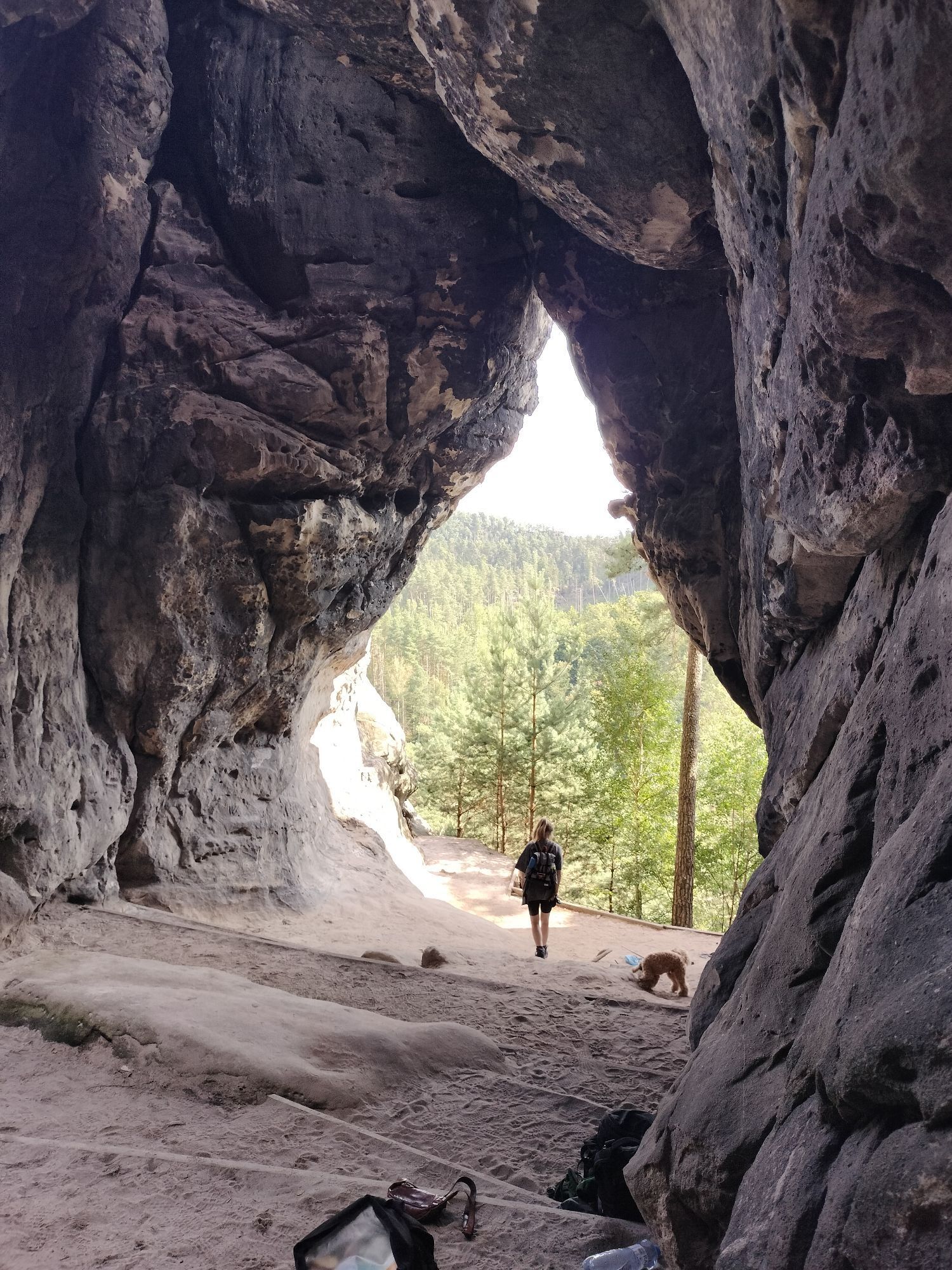
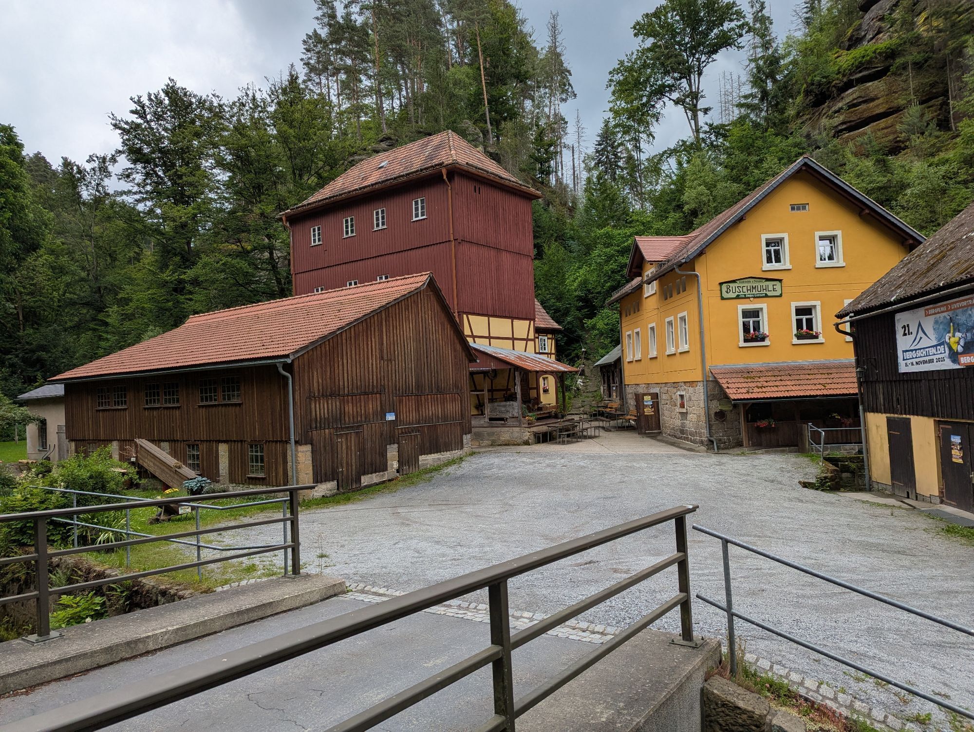
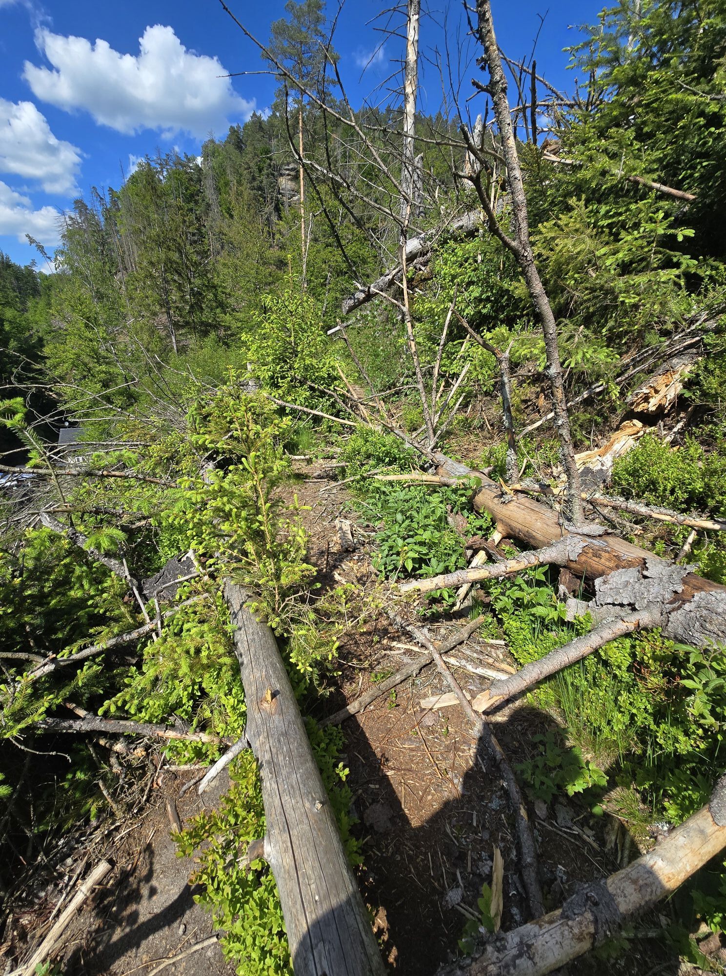
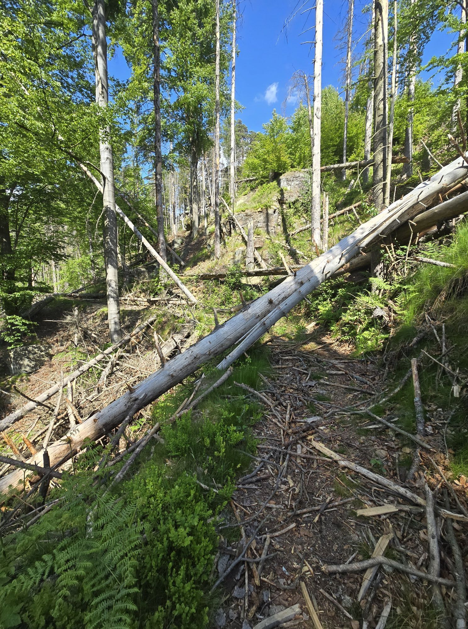
The cycle route offers fantastic views on the plateau as well as fascinating impressions along the wild and romantic Kirnitzsch valley and links the most important cultural and tourist highlights of the...
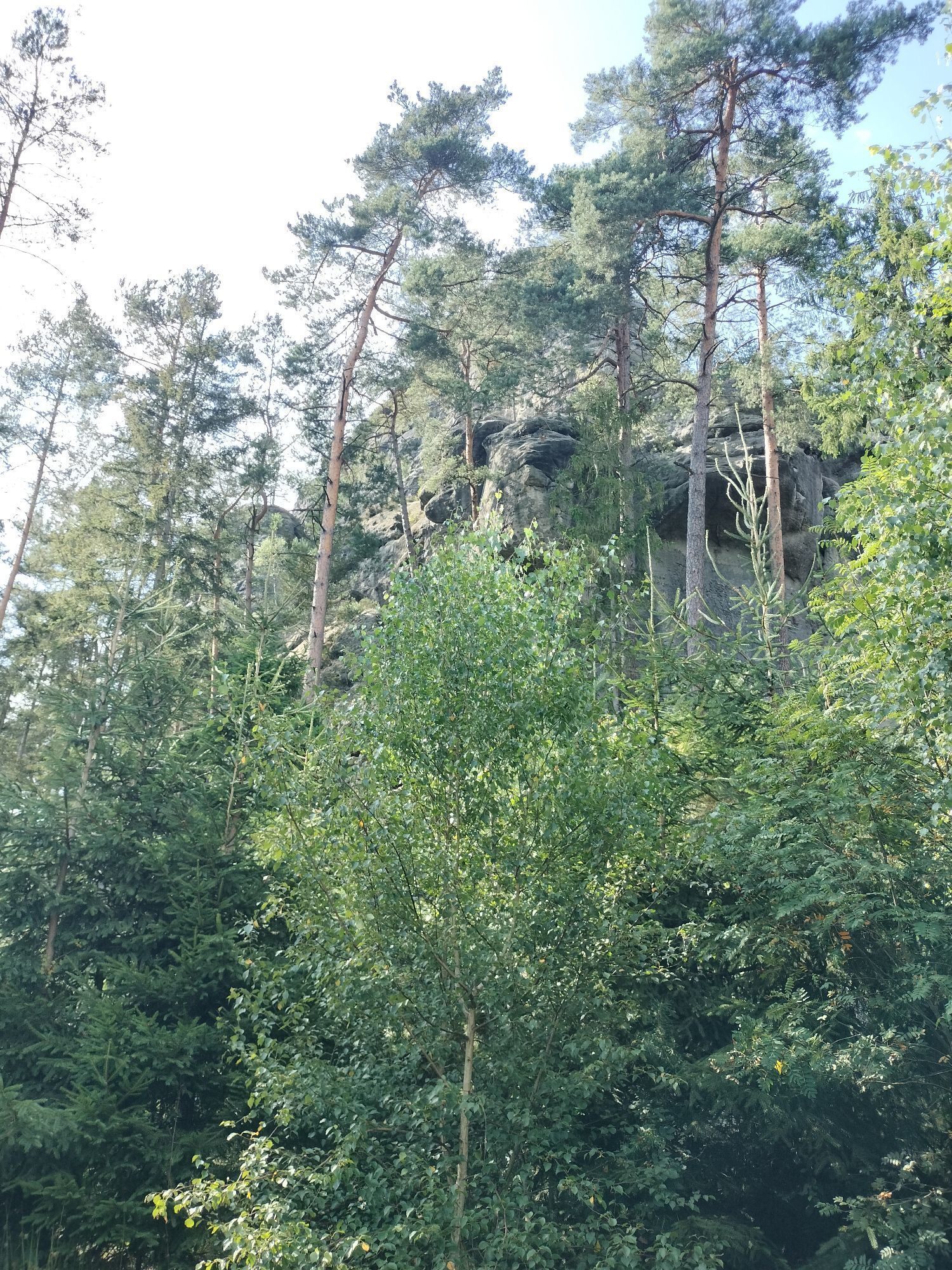
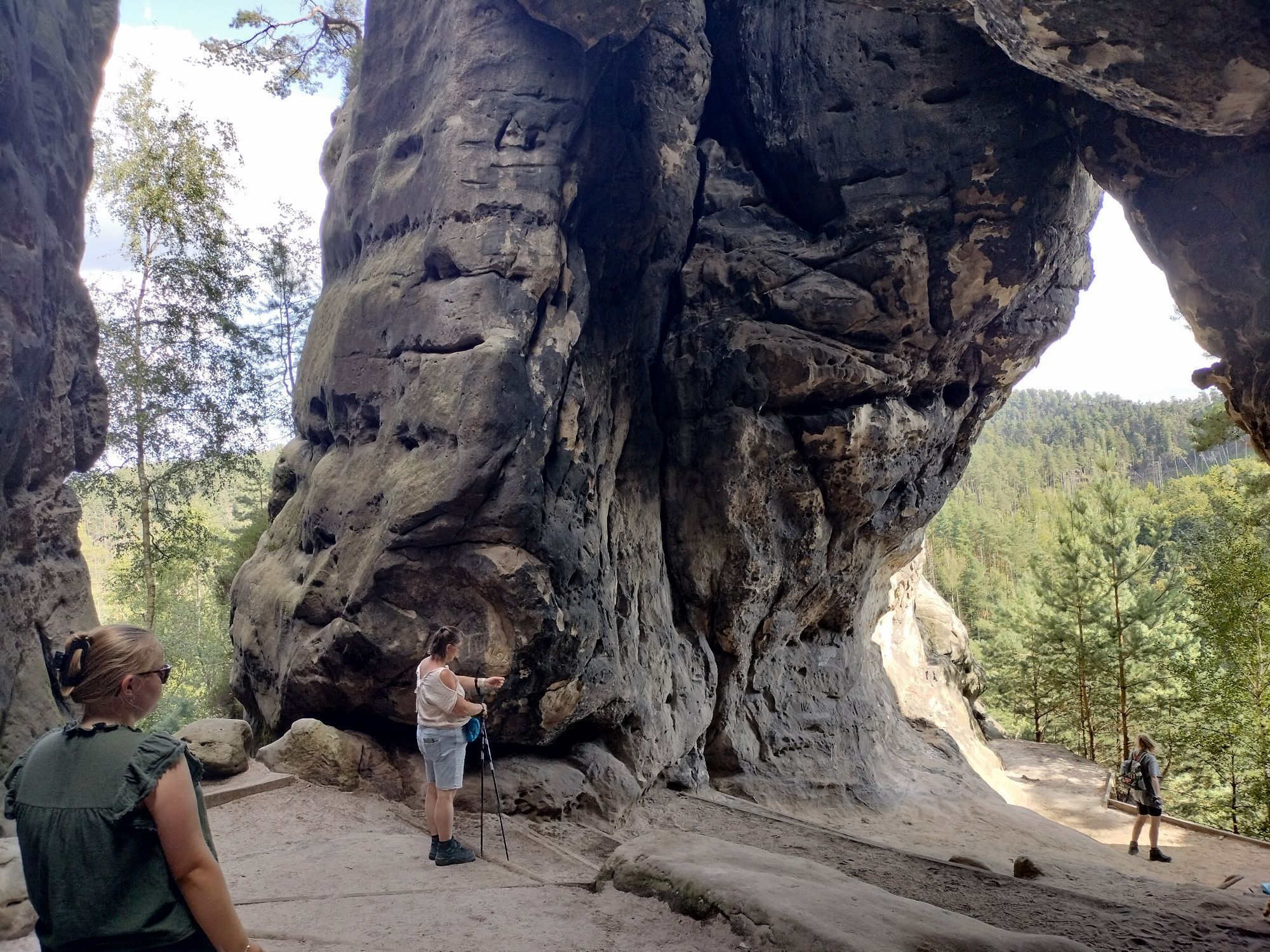
The cycle route offers fantastic views on the plateau as well as fascinating impressions along the wild and romantic Kirnitzsch valley and links the most important cultural and tourist highlights of the region with unique natural experiences.
The tour can be started at any point, but there are some long ascents in both directions. The side trips to visit the cultural and tourist highlights should be seen here as a supplement.

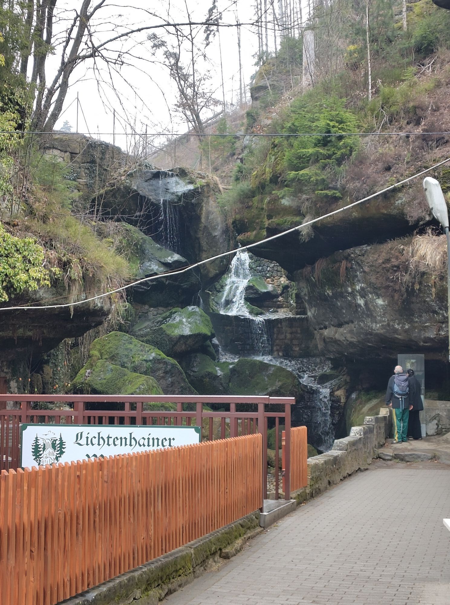
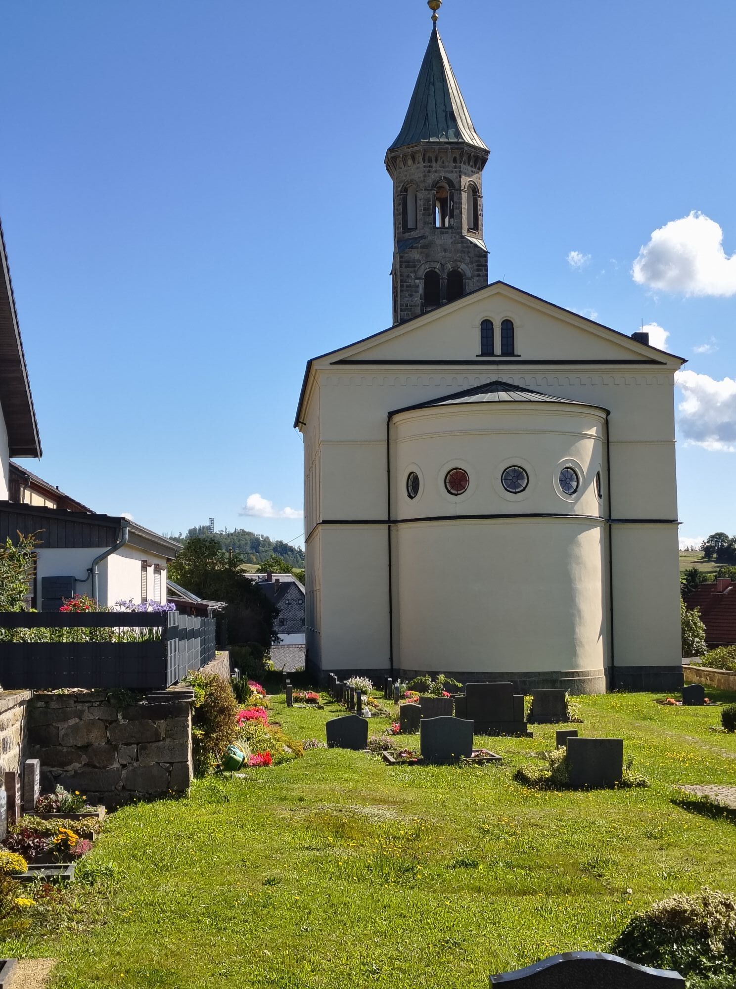
You leave the silk flower town of Sebnitz in the direction of Hertigswalde with a steady ascent to the Waldhaus. From there you go downhill and directly uphill again via the sports field to Saupsdorf. Do not follow the signposted road, but keep straight on to Hinterhermsdorf. Once there, you can enjoy a relaxed descent into the wildly romantic and cool Kirnitzschtal valley. Along the river of the same name, you descend slightly to the well-known Lichtenhain waterfall. From here, the route climbs steeply up to the centre of Lichtenhain before you return to Sebnitz via the former "Panoramaweg" trade route.
The tour has some steep climbs, inexperienced cyclists should prefer to use an e-bike. The route often runs along the main roads without a cycle path.
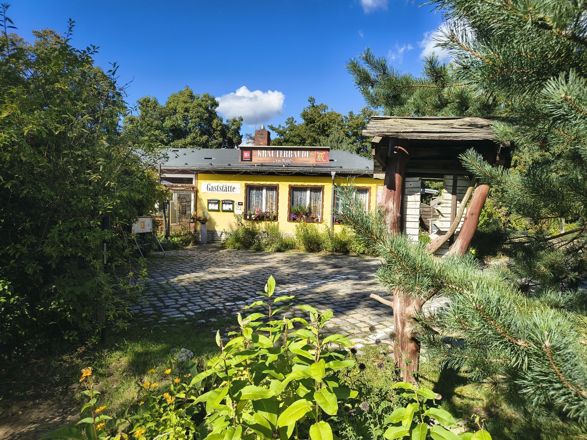
You will find rest and relaxation at several inns on your hiking tour. Wachbergbaude, Kräuterbaude, Wanderstübel, Gasthof zur Hoffnung, Lichtenhainer Wasserfall and Hotel Berghof Lichtenhain are the recommended places to stop.
Webcams de la tournée

Parcours populaires à proximité
-
4,7
Rathen / Hockstein / Bastei / Rathen
moyenRandonnée 14,4 km -
4,6
Von Rathewalde zur Bastei
Randonnée 12,8 km -
4,7
Rundwanderung Bastei Schwendenlöcher -Amselsee
facileRandonnée 6,21 km -
4,6
Kuhstall, Himmelsleiter und Schneiderloch
moyenRandonnée 4,06 km -
4,7
Pfaffenstein Sachsen/Deutschland
moyenRandonnée 3,89 km -
5,0
Basteibrücke
facileRandonnée 2,31 km -
5,0
Lilienstein
facileRandonnée 3,75 km -
4,9
entlang der Schrammsteine, Breite Kluft, Affenwand
moyenRandonnée 11,6 km -
4,8
Bad Schandau, Schrammsteinrunde
moyenRandonnée 11,0 km -
5,0
Prebischtor
moyenRandonnée 18,9 km
Randonnée et suivi


Ne manquez pas les offres et l'inspiration pour vos prochaines vacances
Votre adresse électronique a été ajouté à la liste de diffusion.





