


E-Bike St. Margrethenberg
Niveau de difficulté: 2
Photos de nos utilisateurs
-
 © Rita GortCréé le 27.06.2023
 -

 © Brownie85Créé le 10.05.2026
 -
 © Bike RiderCréé le 08.05.2026
 -
 © Bike RiderCréé le 08.05.2026
 -
 © Brownie85Créé le 08.05.2026
 -
 © Rita GortCréé le 27.06.2023
 -
 © Marianne GrobnerCréé le 26.08.2025
 -
 © Marianne GrobnerCréé le 26.08.2025
 -
 © Marianne GrobnerCréé le 26.08.2025
 -
 © Marianne GrobnerCréé le 26.08.2025
 -
 © Marianne GrobnerCréé le 26.08.2025
 -
 © PerryBCréé le 25.06.2023
 -
 © PerryBCréé le 25.06.2023

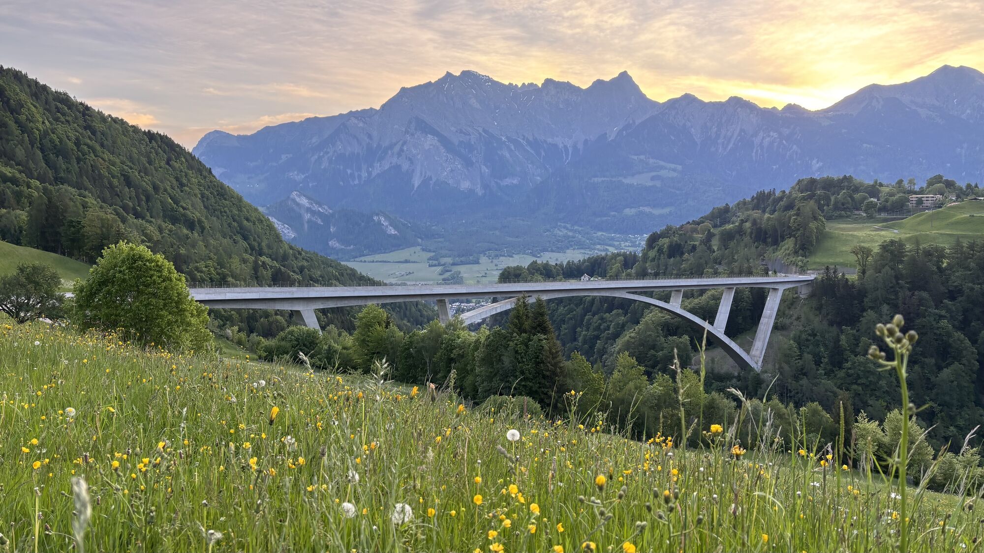
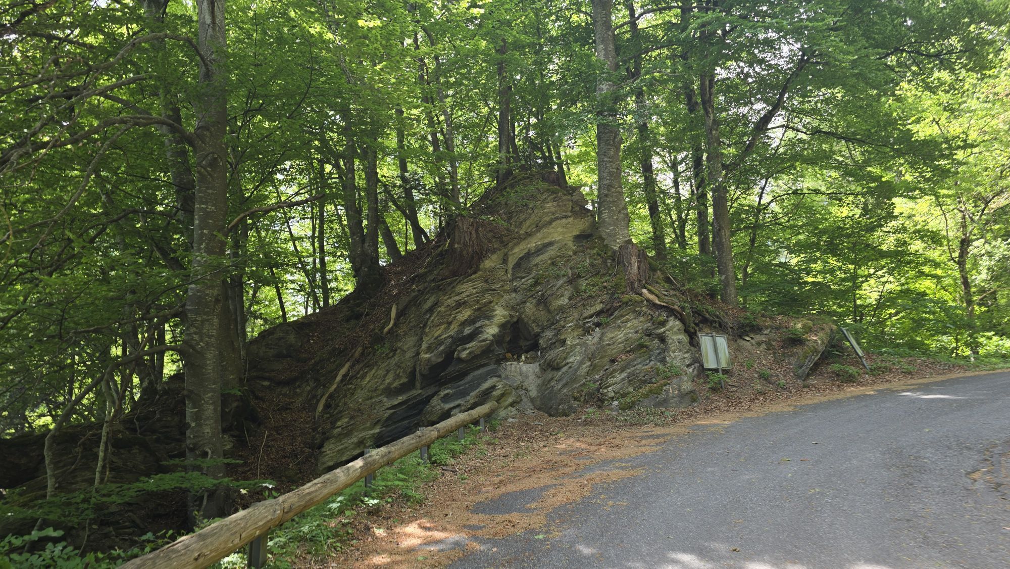

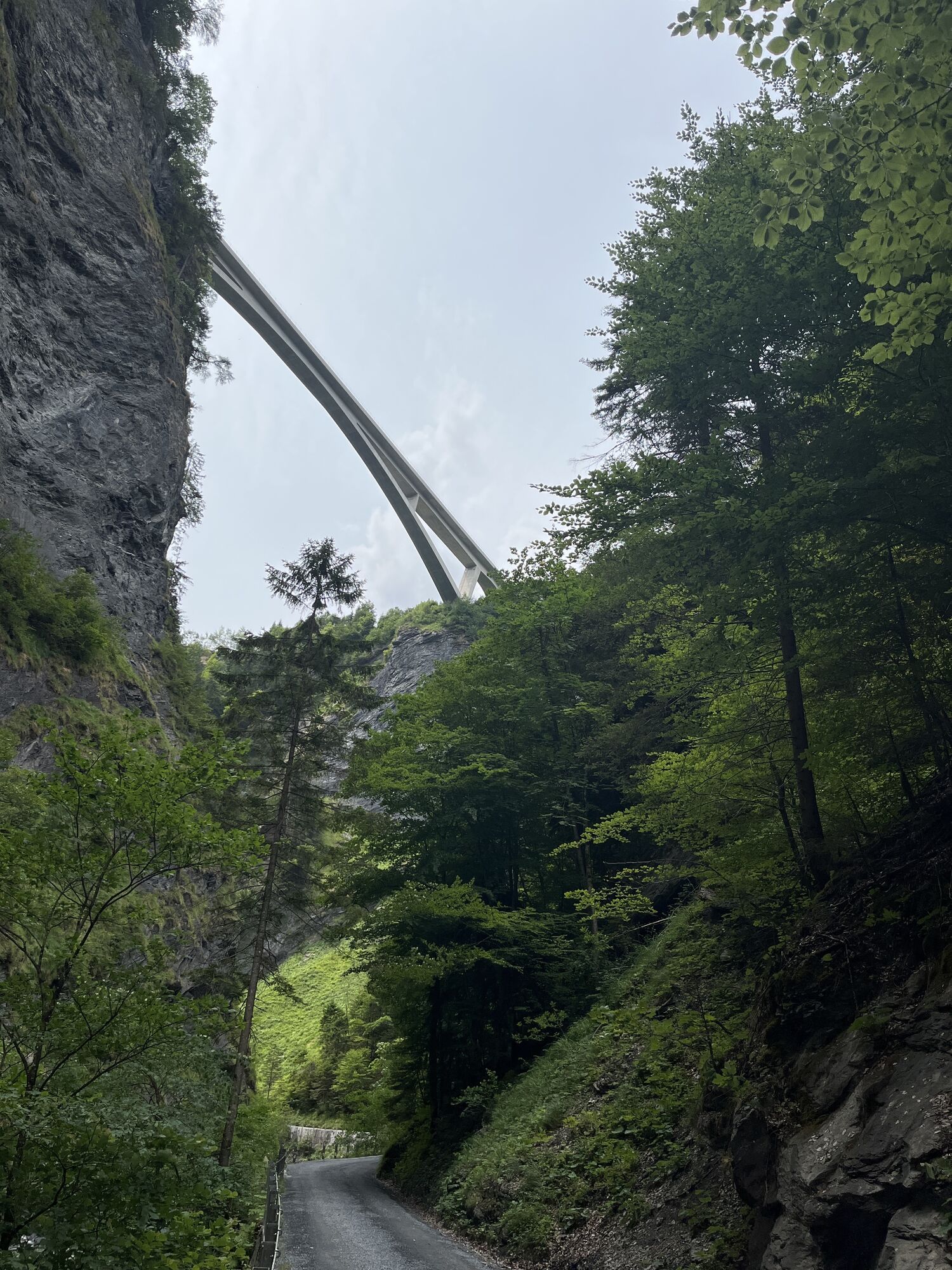
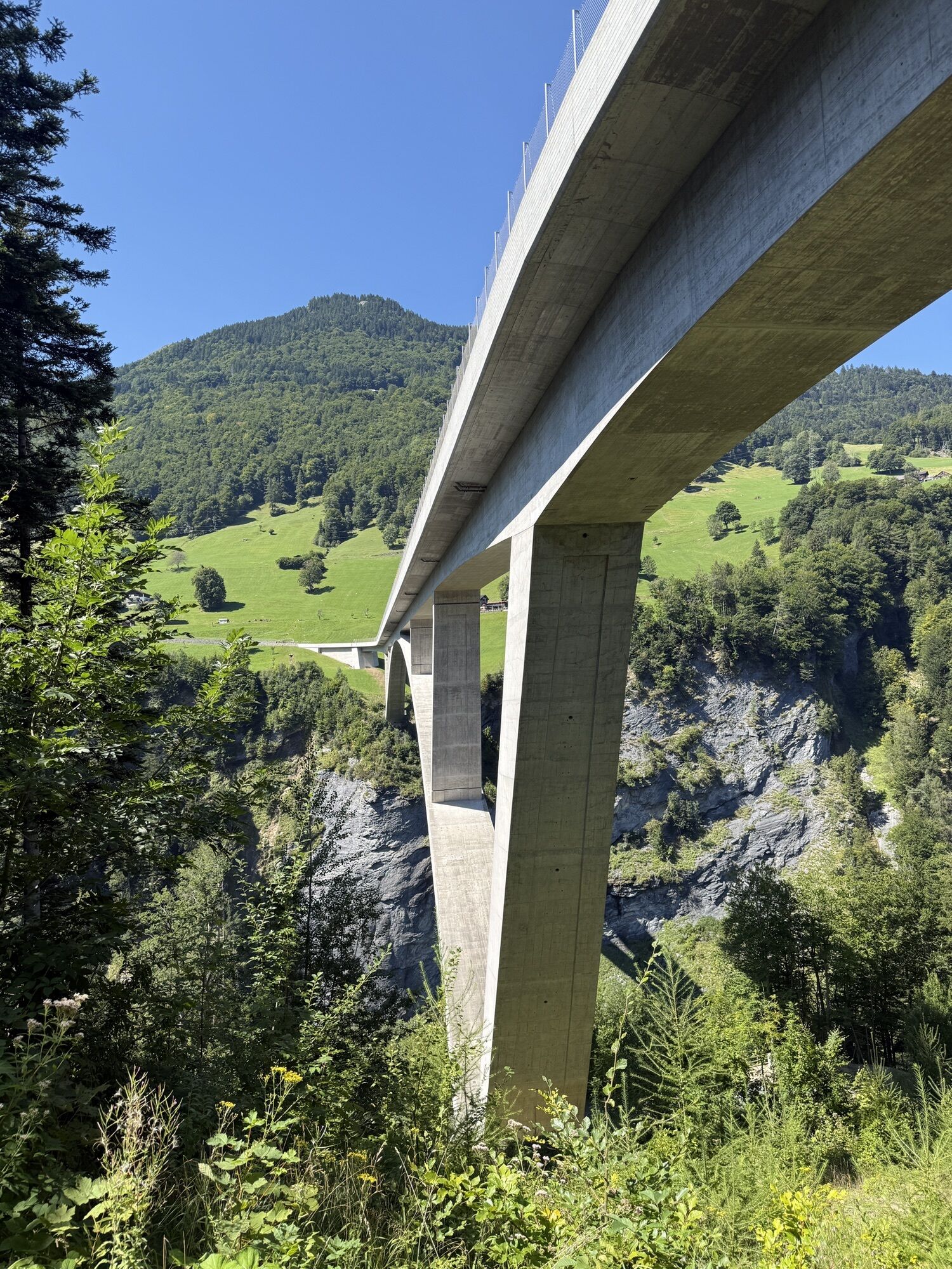
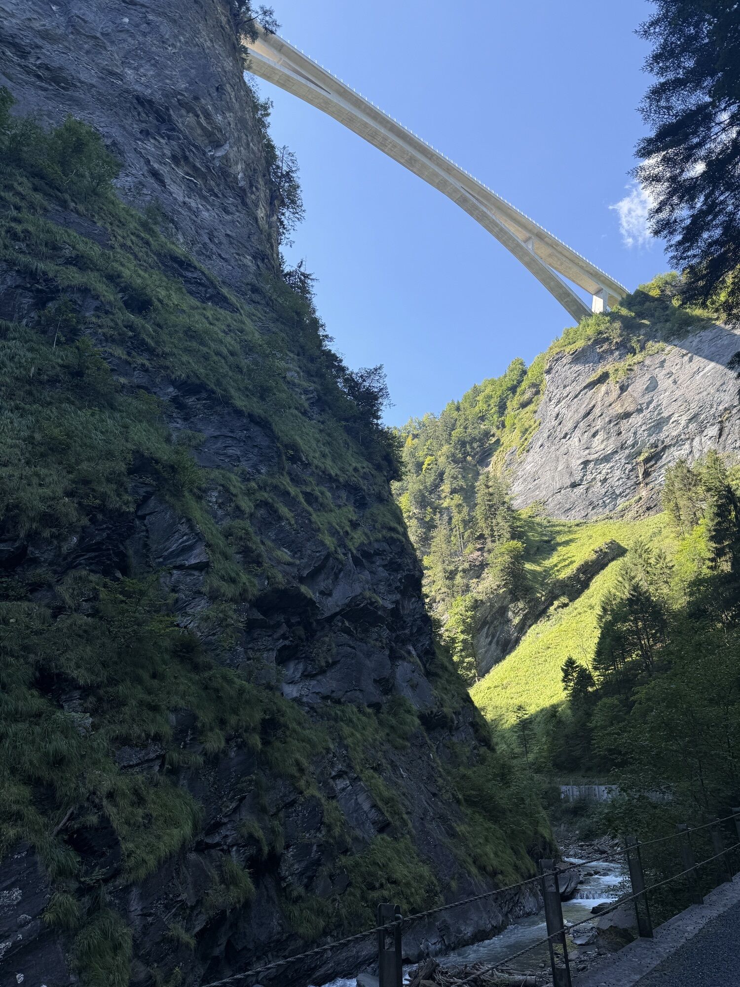
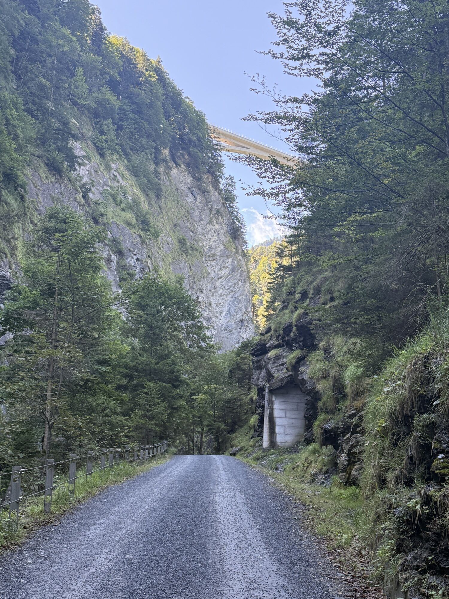
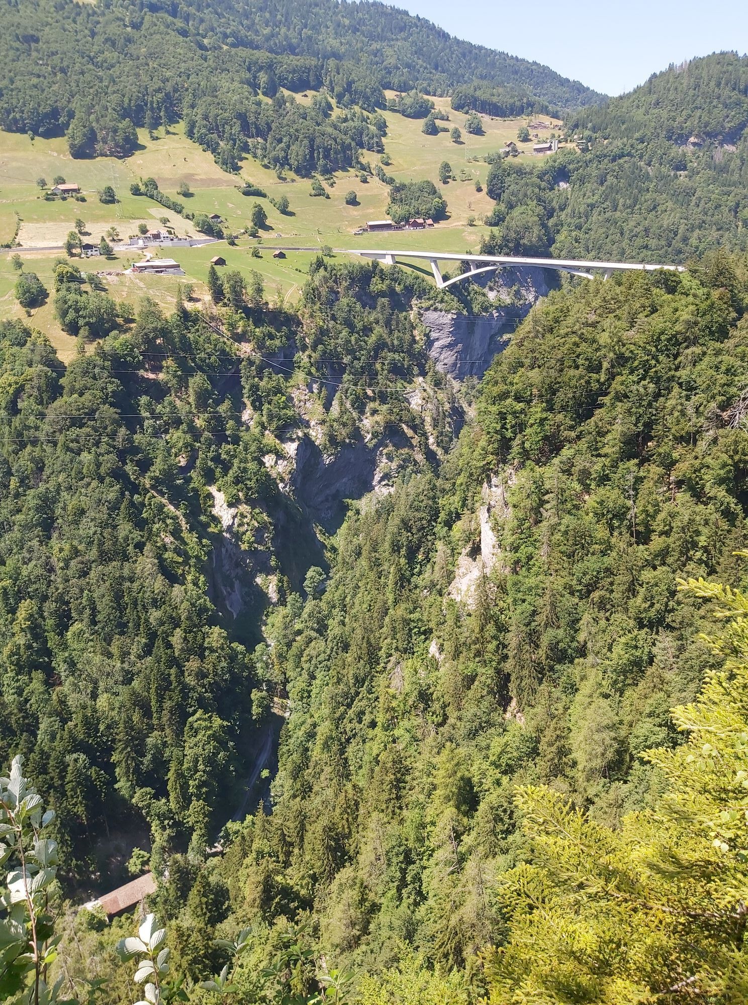
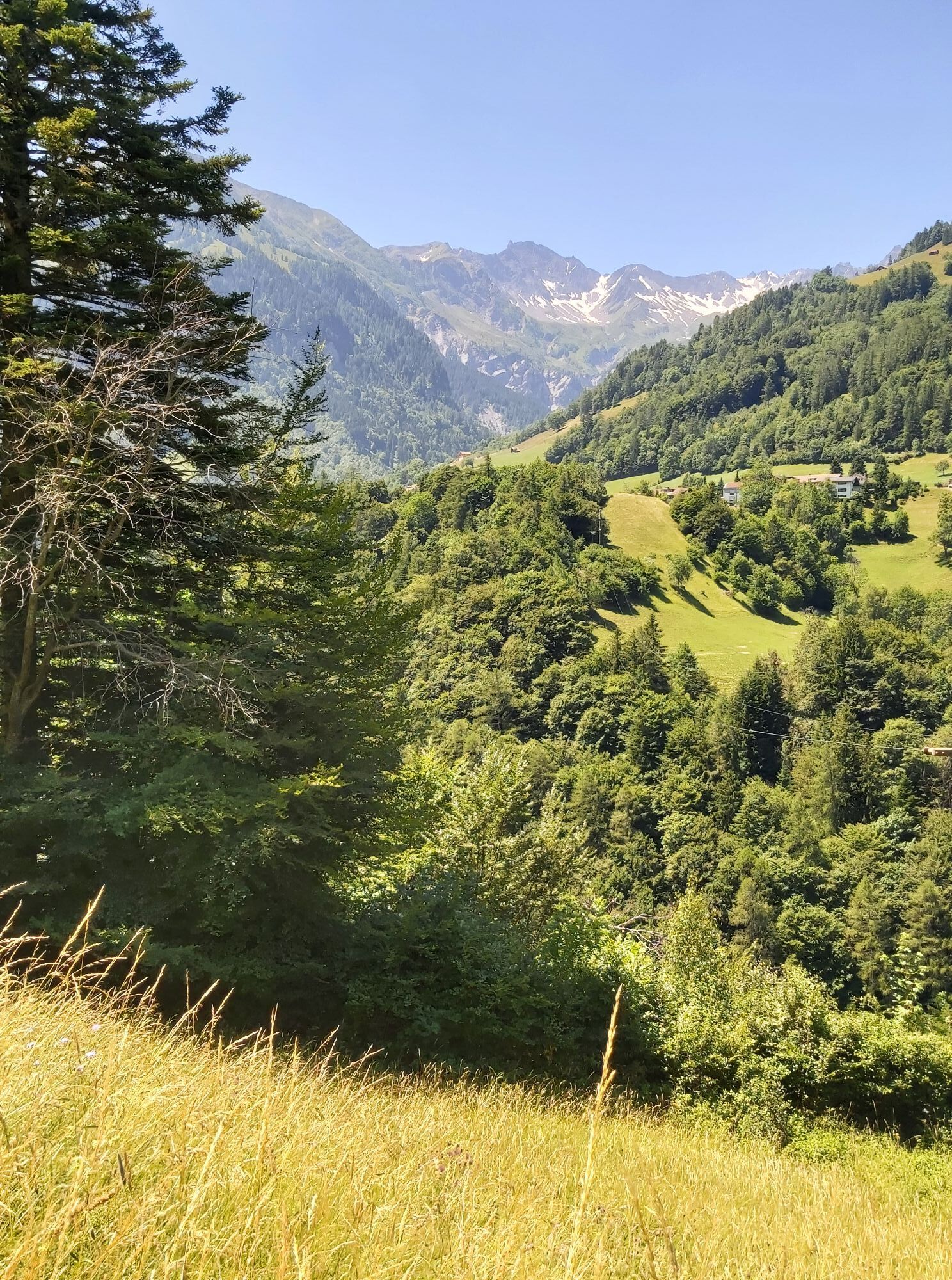
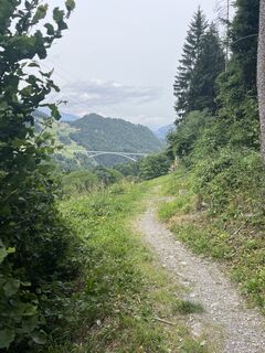
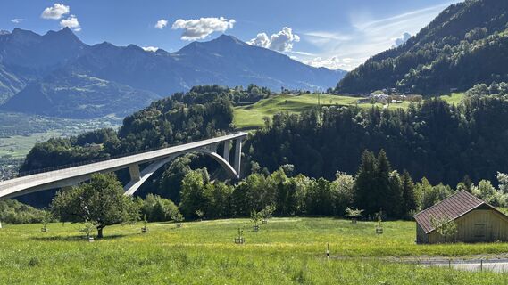
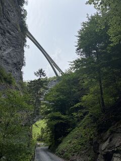
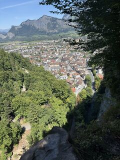
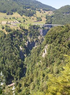
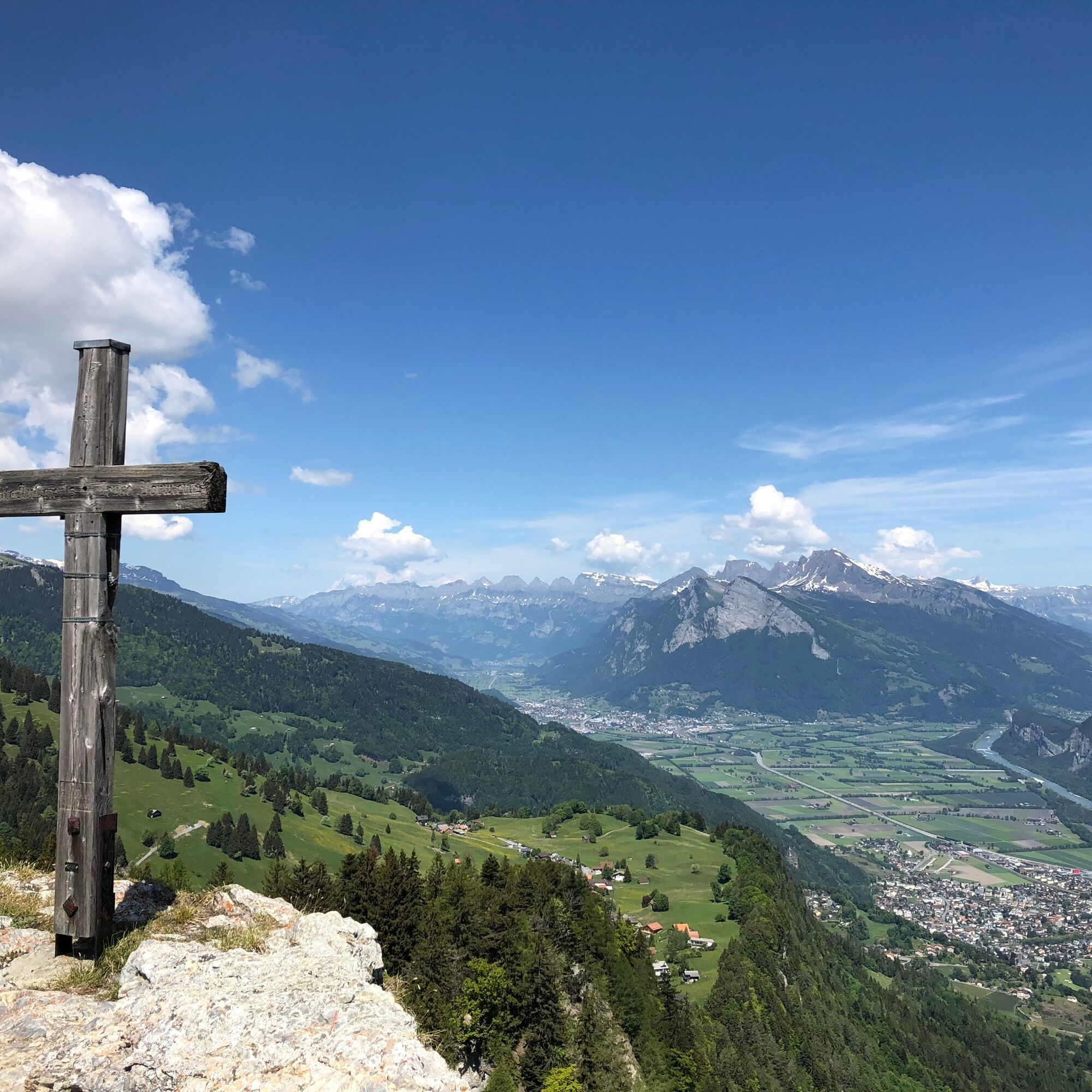
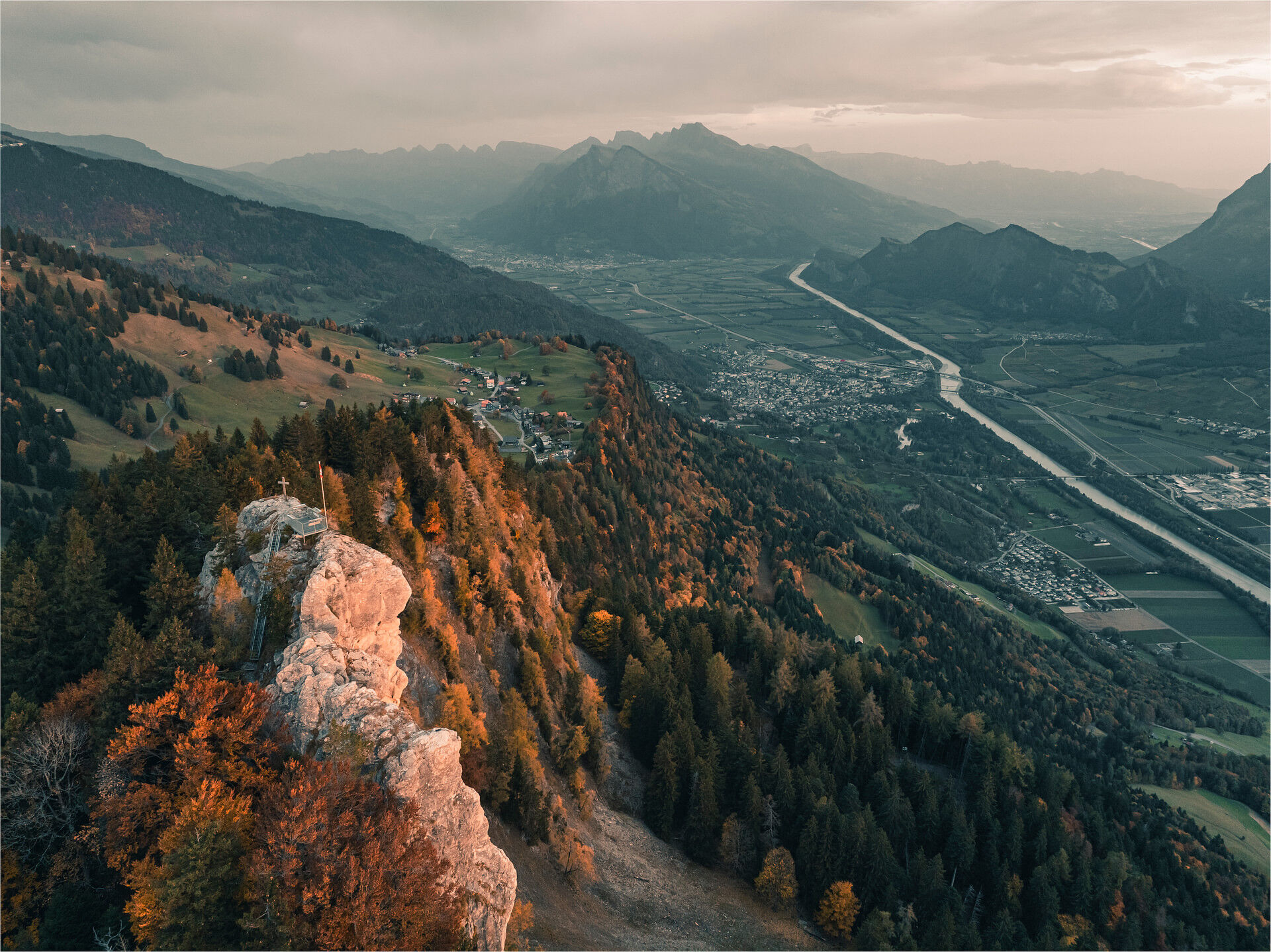
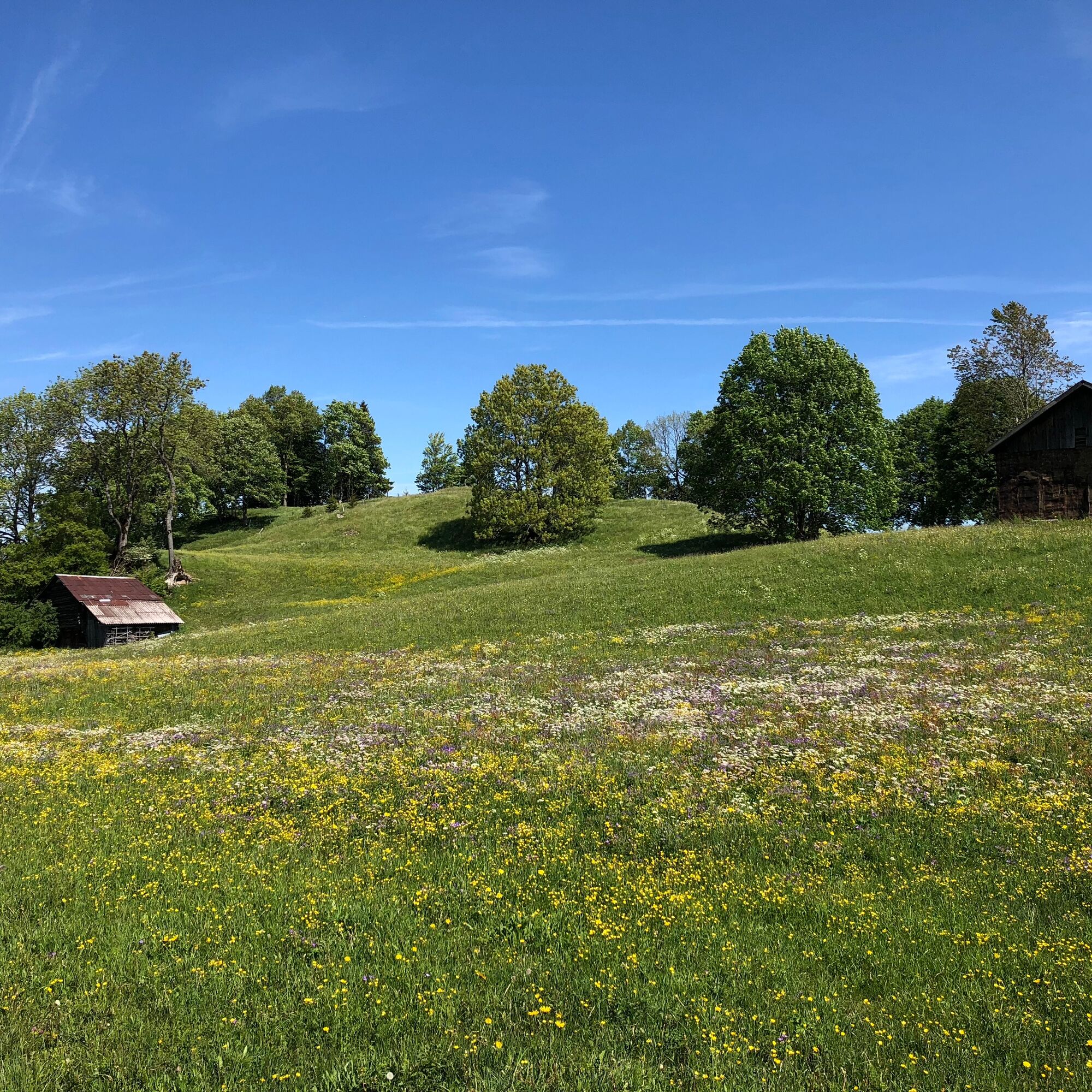
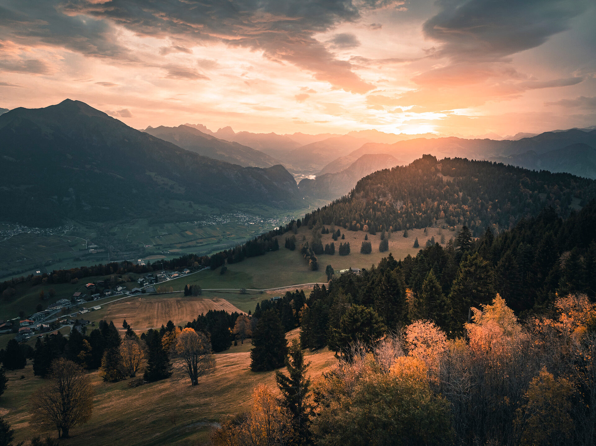
Sur l'ancienne route d'accès à Valens, fermée au trafic motorisé, le parcours facile maîtrise la première montée vers le imposant pont de Tamina. Le passage de ce pont en arc de 270 m d'ouverture offre...
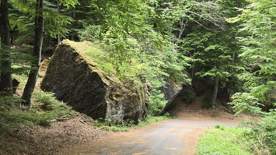
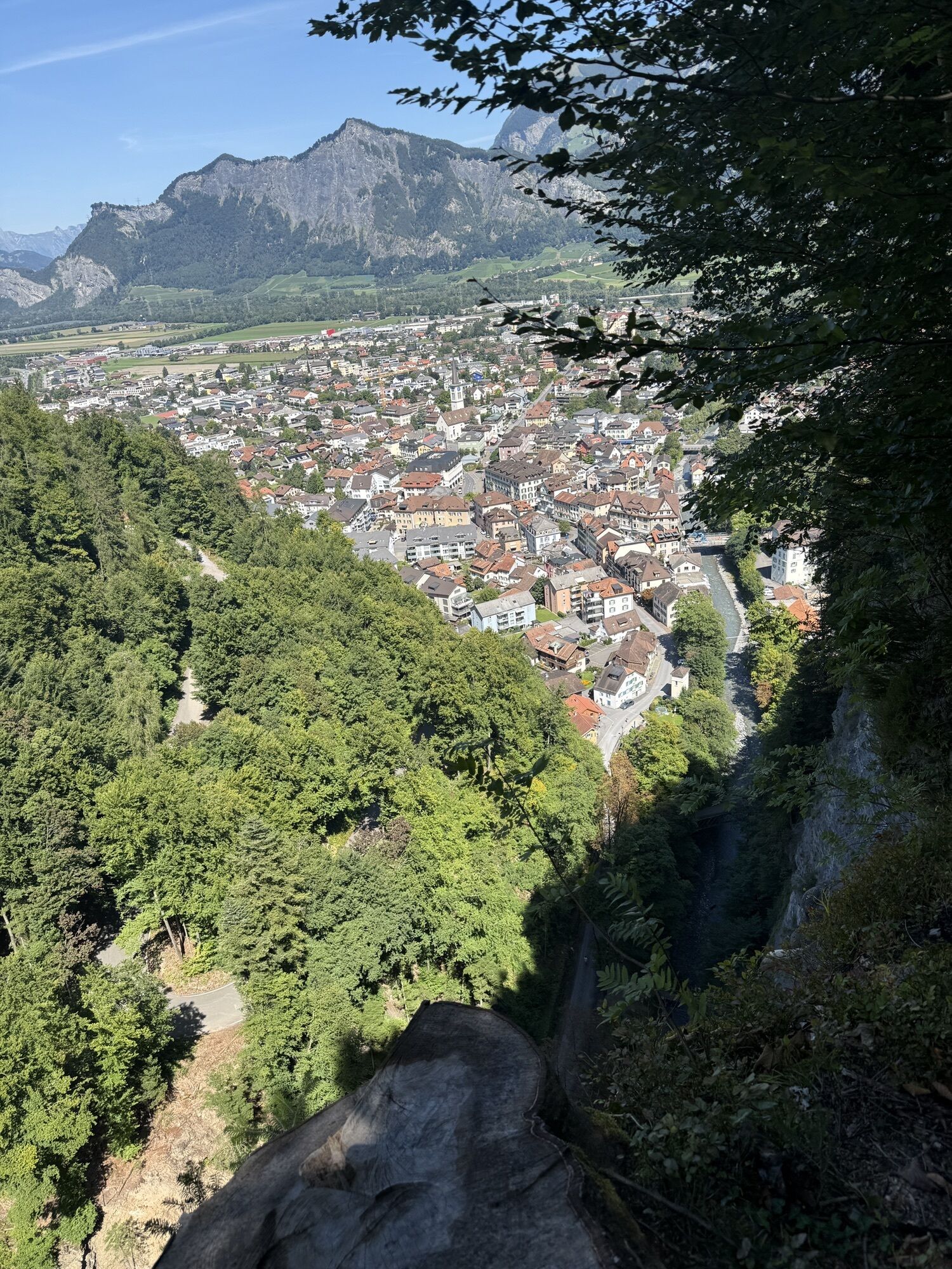
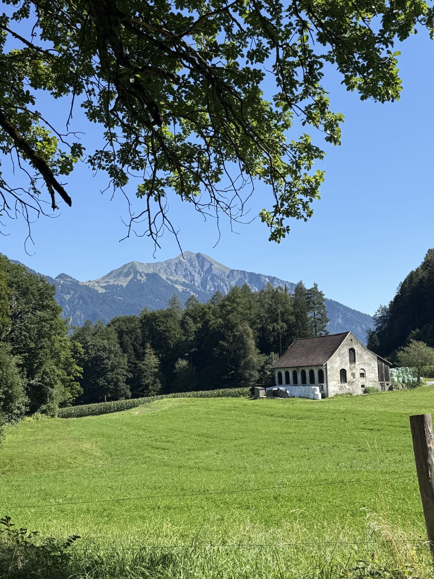
Sur l'ancienne route d'accès à Valens, fermée au trafic motorisé, le parcours facile maîtrise la première montée vers le imposant pont de Tamina. Le passage de ce pont en arc de 270 m d'ouverture offre une vue plongeante dans les profondeurs des gorges de Tamina, laissant deviner en contrebas l’Ancien Bain de Pfäfers, le plus ancien bain baroque de Suisse. À Pfäfers, la visite de l’église baroque du monastère vaut le détour, avant, avec vue sur la rive opposée de la vallée depuis Ragol, de gravir l’étroit tronçon montant vers le plateau de St. Margrethenberg. À partir de ce hameau paisible et isolé, un détour à pied vers le Pizalun culminant à 1478 mètres mérite le coup d’œil pour une vue panoramique splendide sur les villages et champs des vallées du Rhin et de la Seez. La descente rapide se fait par des sentiers de randonnée simples, ainsi que des chemins de gravier et de goudron, retour vers la Tamina Therme Bad Ragaz.

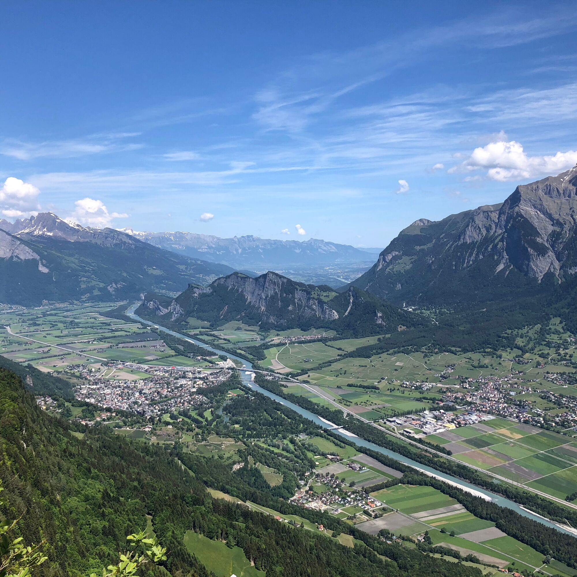
Tamina Therme Bad Ragaz - Bannwald - pont de Tamina - Pfäfers - Ragol - St. Margrethenberg - Pfäfers Valur - Tamina Therme Bad Ragaz
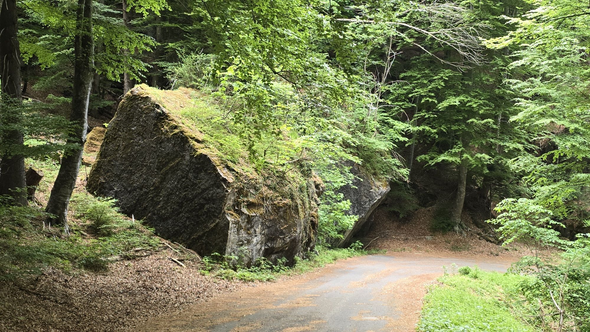
Équipement normal pour le vélo. Des vêtements fonctionnels sont un avantage, car les montées et descentes s'alternent.
La Tamina Therme Bad Ragaz est à seulement une heure en voiture de St. Gallen et Zurich, ainsi qu'à 30 minutes de Feldkirch. Utilisez la sortie d’autoroute Maienfeld et suivez les panneaux ou Google Maps : Tamina Therme sur Google Maps .
Vous atteignez Bad Ragaz en transports publics en un peu plus d'une heure depuis St. Gallen et Zurich. La gare est à 15 minutes à pied de la Tamina Therme. Le car postal s’arrête directement devant la Tamina Therme.
Horaire CFF , veuillez cliquer ici
Des places de parking publiques sont disponibles dans le parking de la Tamina Therme (payant).
2
Heidiland Tourisme, point d'information Bad Ragaz T +41 81 200 40 20 www.heidiland.com
Station E-Bike Bad Ragaz T +41 81 735 32 70 ebikestation@bikernetzwerk.ch
Dans la «cave» de St. Margrethenberg se trouve la forteresse de Furggels. C'est l'une des plus grandes fortifications jamais construites en Suisse.
Webcams de la tournée
Parcours populaires à proximité
-
3,7
Fürstin-Gina-Weg
Randonnée 10,7 km -
3,7
5-Seen-Wanderung - DER KLASSIKER
difficileRandonnée 9,70 km -
4,8
Parcours circulaire du Pizalun
facileRandonnée 7,18 km -
4,7
Alvier
moyenRandonnée 3,33 km -
4,5
Circuit de la gorge de Tamina
moyenRandonnée 14,0 km -
4,5
En route pour le Falknis
difficileRandonnée 18,2 km -
5,0
Randonnée circulaire Bettlerweg & randonnée des 2 lacs Pizol
moyenRandonnée 11,4 km -
4,5
Saint-Martin - alpe Sardona - Saint-Martin
moyenRandonnée 14,2 km -
4,5
Randonnée au sommet du Pizol
moyenRandonnée 9,28 km -
5,0
Parcours viticole Malans-Jenins
facileRandonnée 10,3 km
Randonnée et suivi


Ne manquez pas les offres et l'inspiration pour vos prochaines vacances
Votre adresse électronique a été ajouté à la liste de diffusion.