Schwarzer Bären - Katholische Kirche Urnäsch - ref. Kirche - Reformierte Kirche
difficile
Naviguer
Naviguer
Télécharge cette visite sur ton portable
Schwarzer Bären - Katholische Kirche Urnäsch - ref. Kirche - Reformierte Kirche
difficile
VTT
70,12
km
Scanner le code QR et commencer la navigation dans l'application bergfex

Randonnée & tracking


Schwarzer Bären - Katholische Kirche Urnäsch - ref. Kirche - Reformierte Kirche
difficile
Distance
70,12
km
Durée
05:19
h
Ascension
1 582
m
Altitude
647 -
1 396
m
Téléchargement de la piste
Schwarzer Bären - Katholische Kirche Urnäsch - ref. Kirche - Reformierte Kirche
difficile
VTT
70,12
km
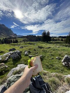
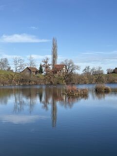
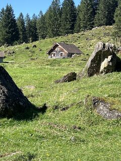
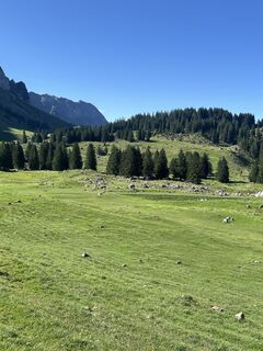
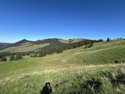
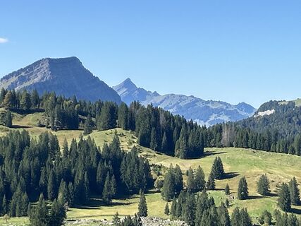
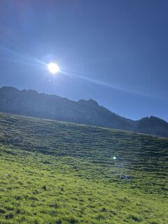
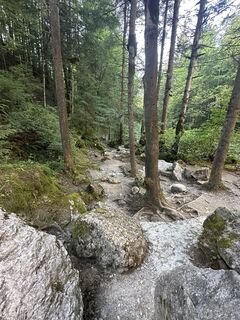
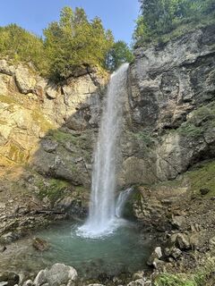
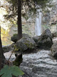
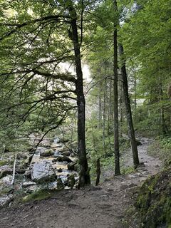
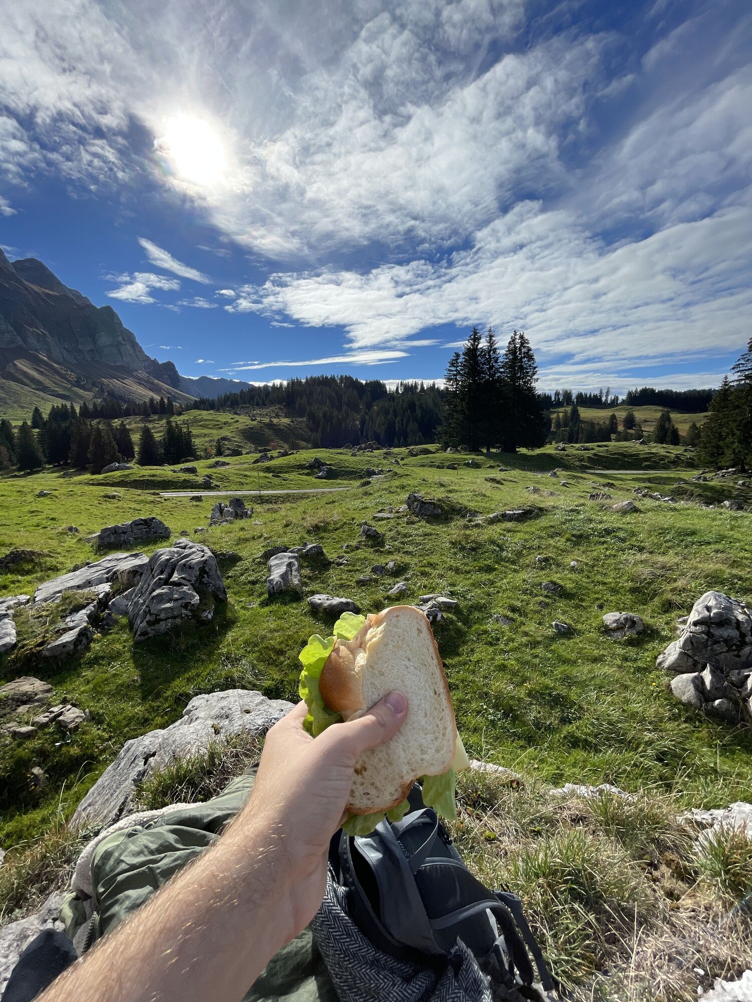
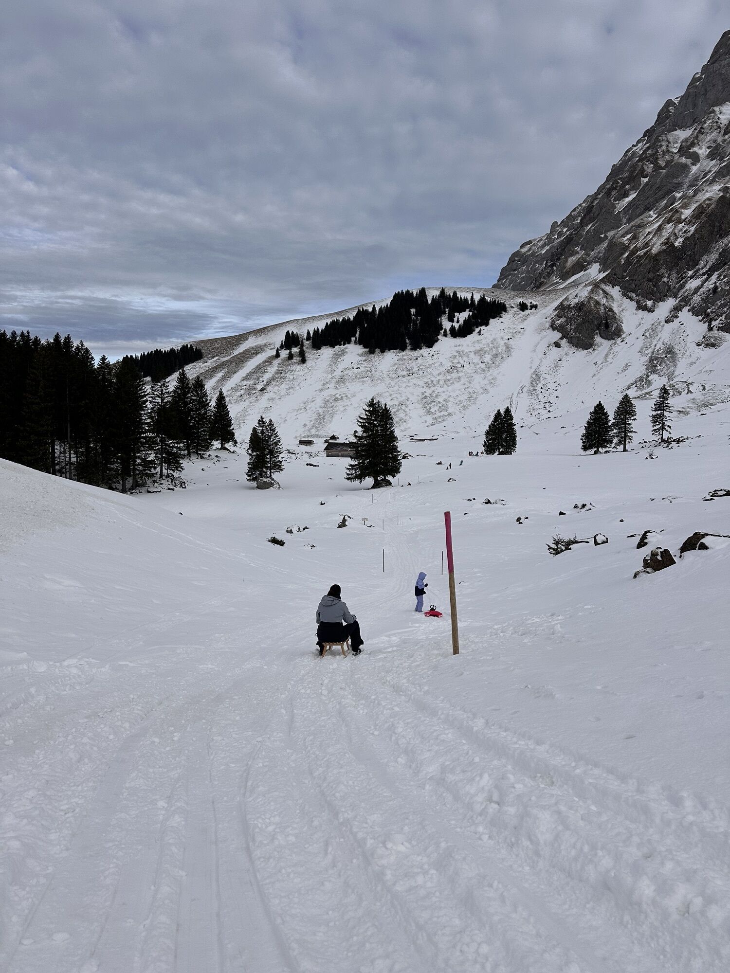
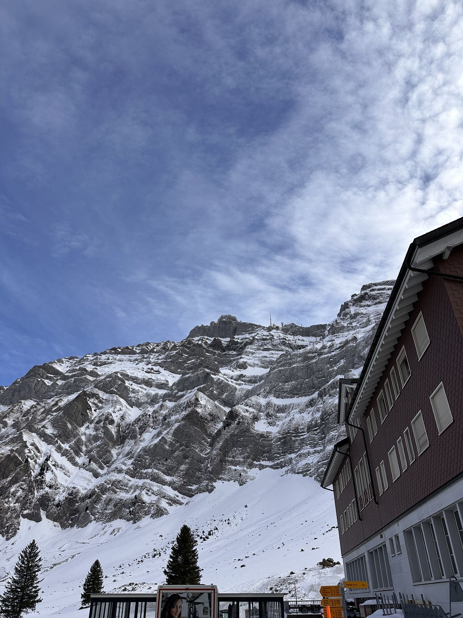
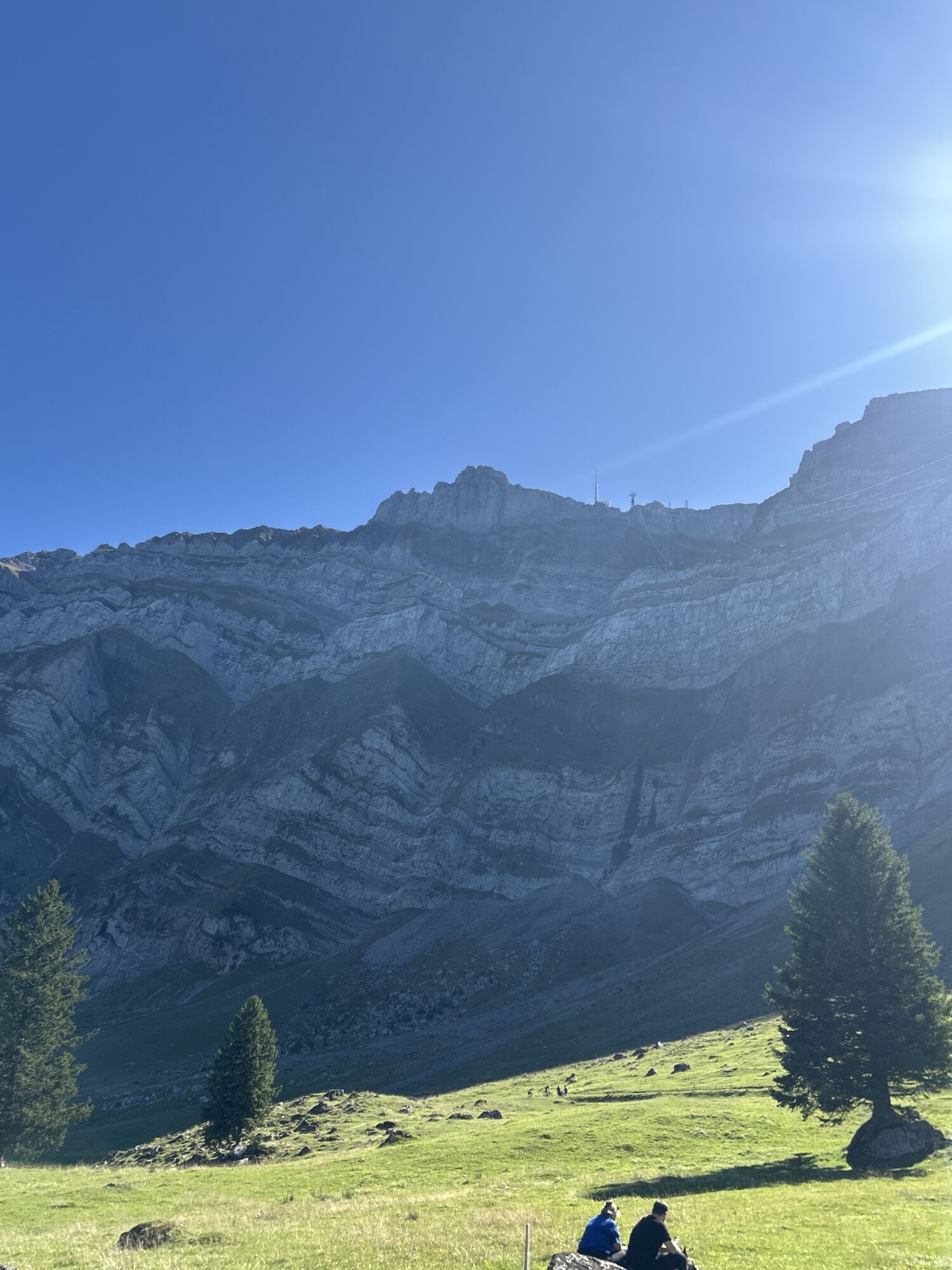
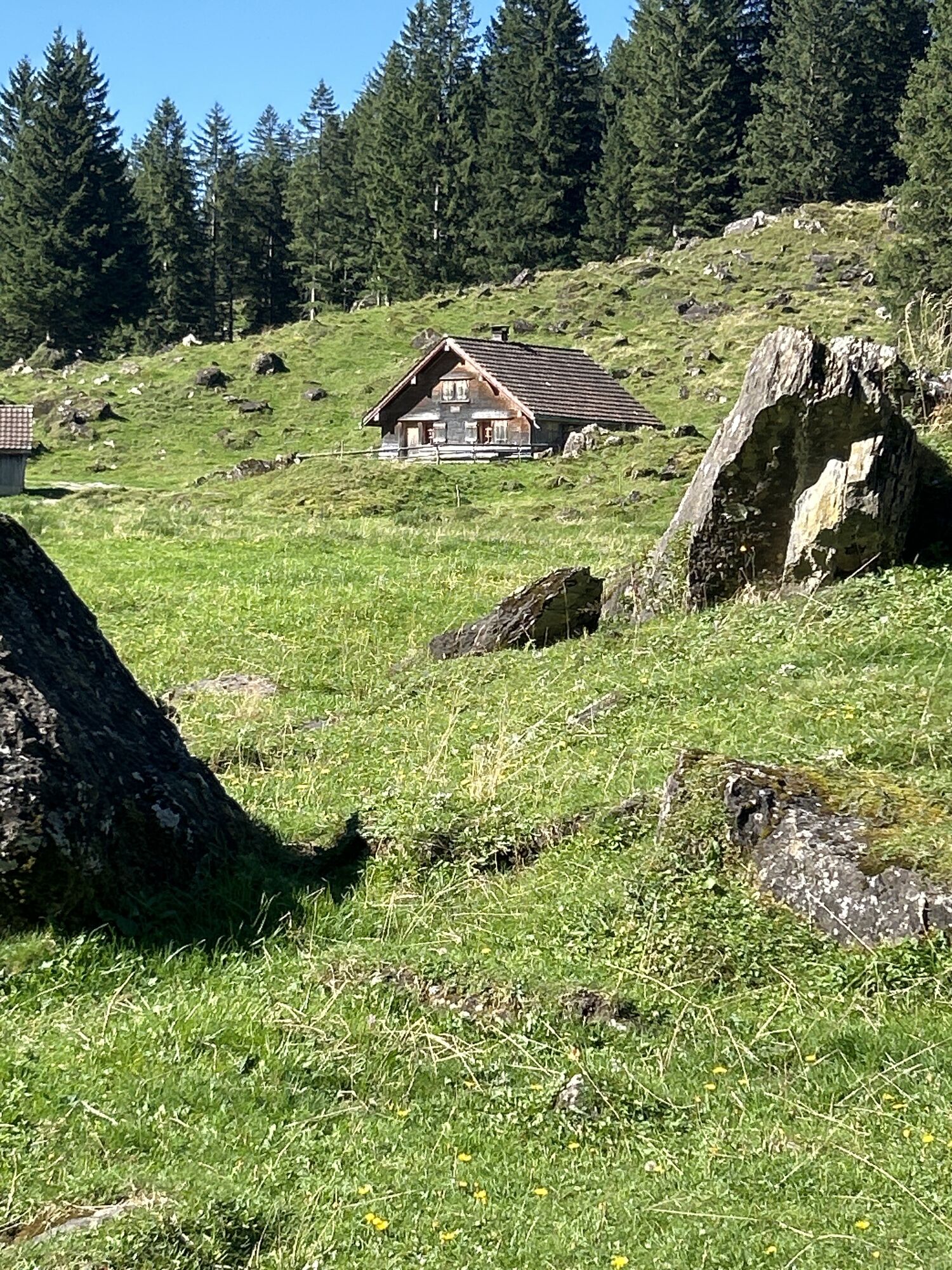
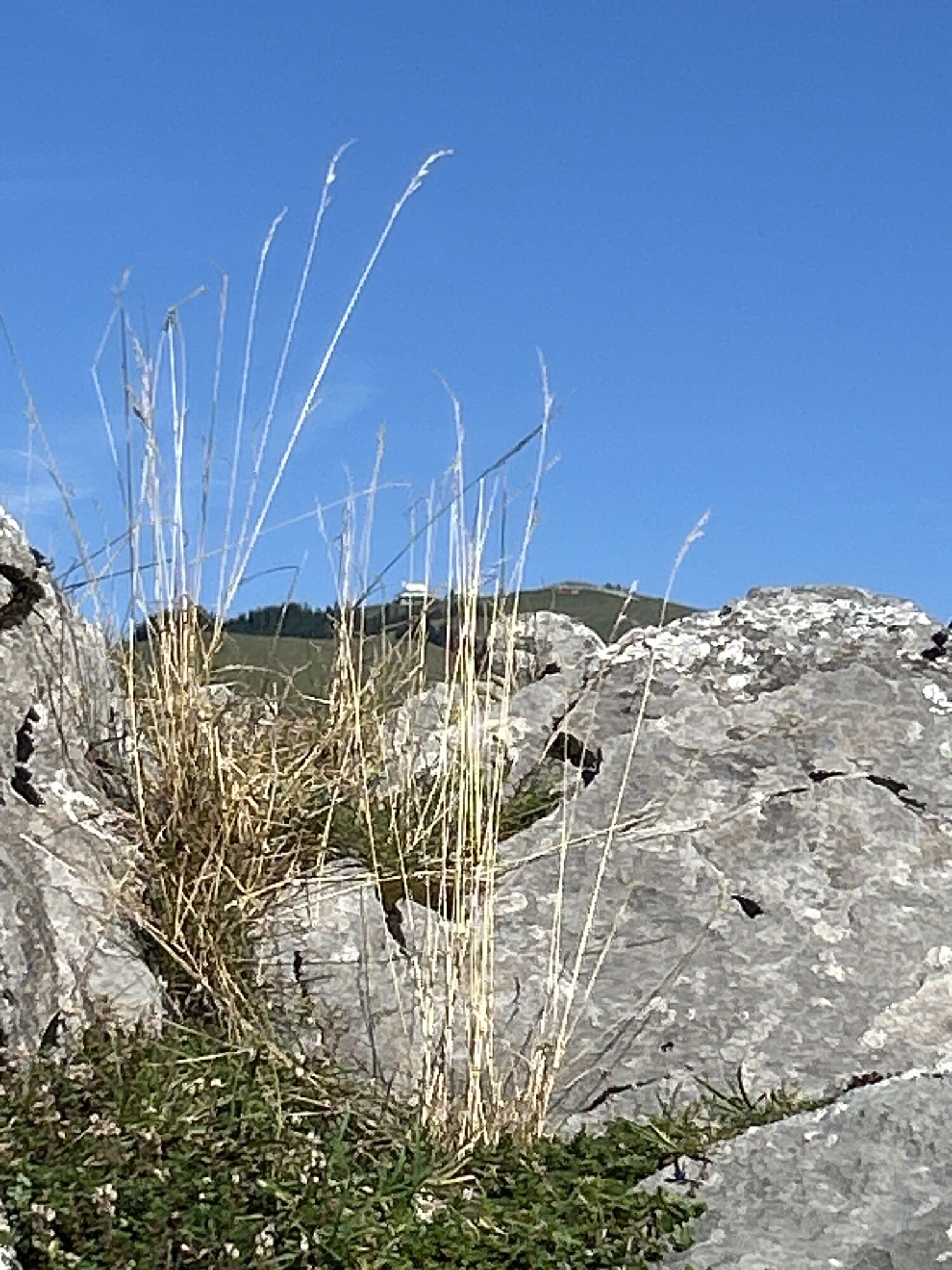
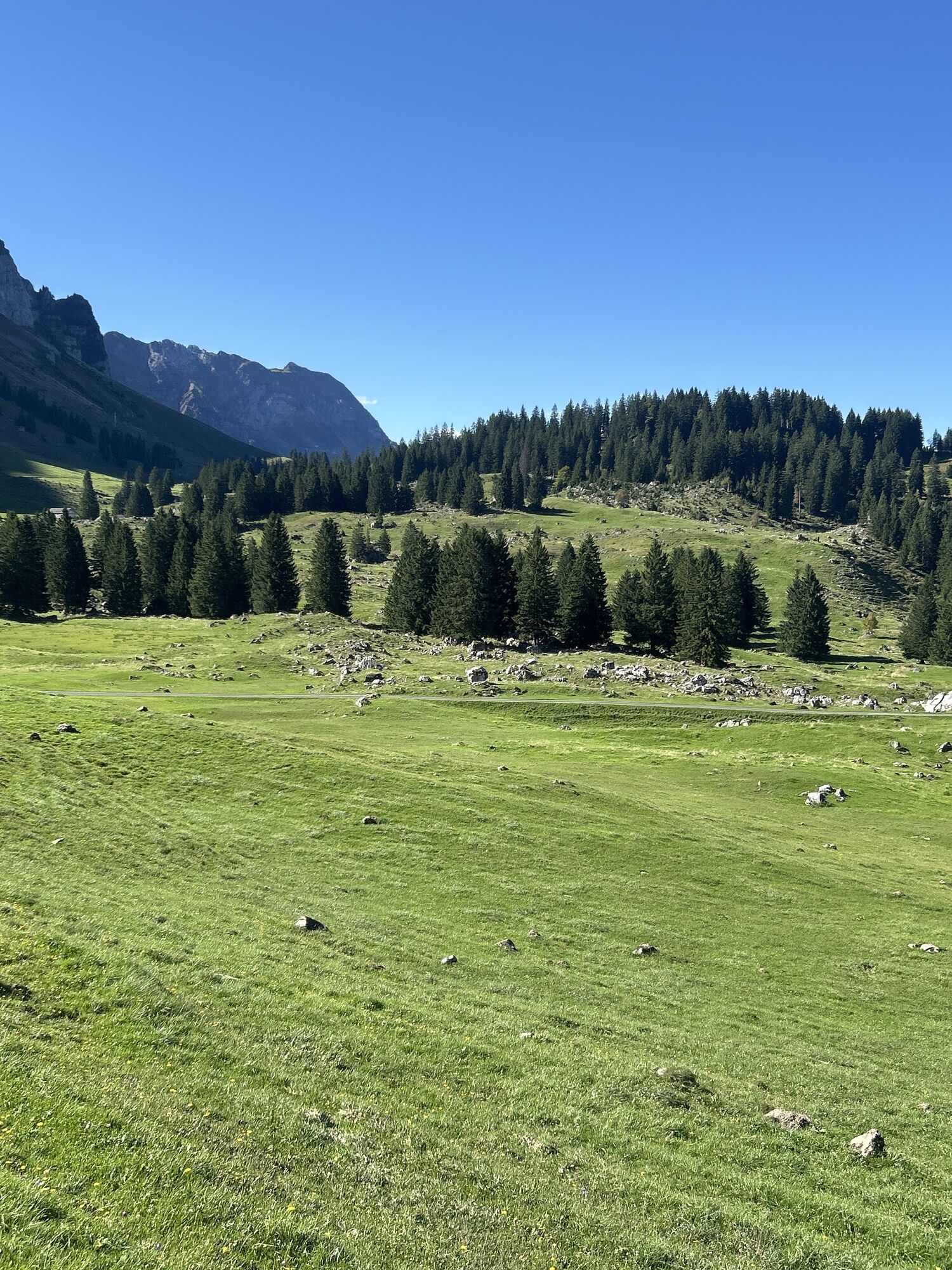
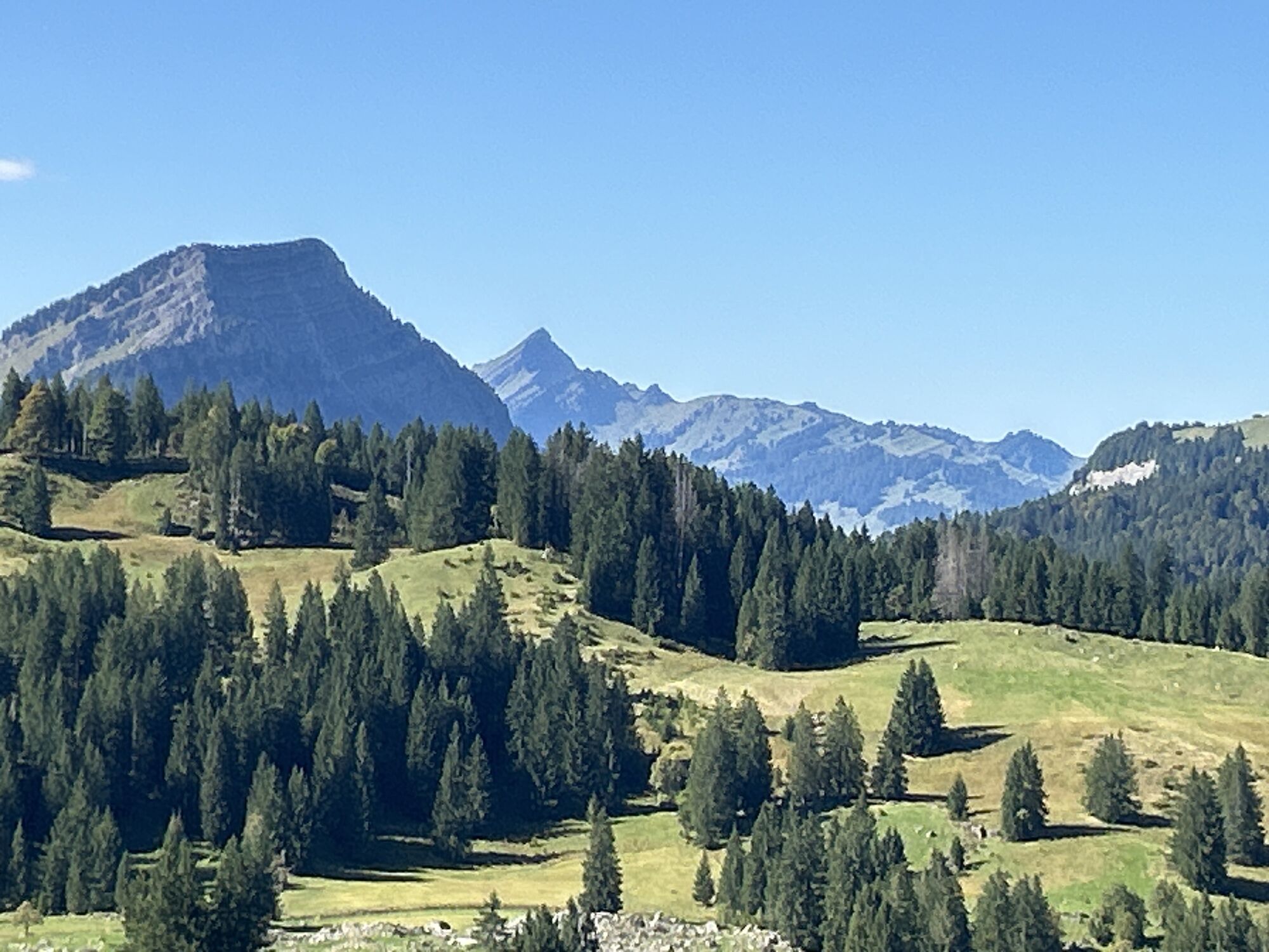
Photos de nos utilisateurs
-
 © Samuel ReissCréé le 15.10.2022
 -

 © Cyrill BischofCréé le 27.01.2026
 -
 © Cyrill BischofCréé le 27.01.2026
 -
 © Mägi FreiCréé le 15.11.2025
 -
 © Ewald ZweifelCréé le 20.09.2025
 -
 © Ewald ZweifelCréé le 20.09.2025
 -
 © Ewald ZweifelCréé le 20.09.2025
 -
 © Ewald ZweifelCréé le 20.09.2025
 -
 © Ewald ZweifelCréé le 20.09.2025
 -
 © Ewald ZweifelCréé le 20.09.2025
 -
 © Ewald ZweifelCréé le 20.09.2025
 -
 © Ewald ZweifelCréé le 20.09.2025
 -
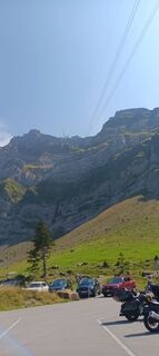
 © Franz Rieder 2Créé le 27.08.2025
 -
 © Cyrill BischofCréé le 11.08.2025
 -
 © Cyrill BischofCréé le 11.08.2025
 -
 © Cyrill BischofCréé le 11.08.2025
 -
 © Cyrill BischofCréé le 11.08.2025
 -
 © Cyrill BischofCréé le 11.08.2025
 -
 © Cyrill BischofCréé le 11.08.2025
 -

 © Senar MisiniCréé le 29.06.2025
 -
 © FábiCréé le 13.04.2025
 -
 © FábiCréé le 06.04.2025


Parcours
Saint-Gall
(675 m)
Ville
4,3 km
Katholische Kirche Urnäsch
(813 m)
Lieu de culte
22,4 km
Grünau
(845 m)
Lotissement
25,6 km
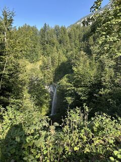
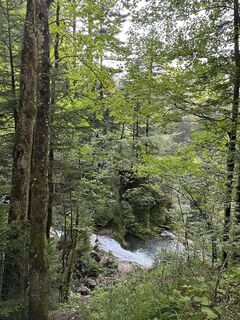
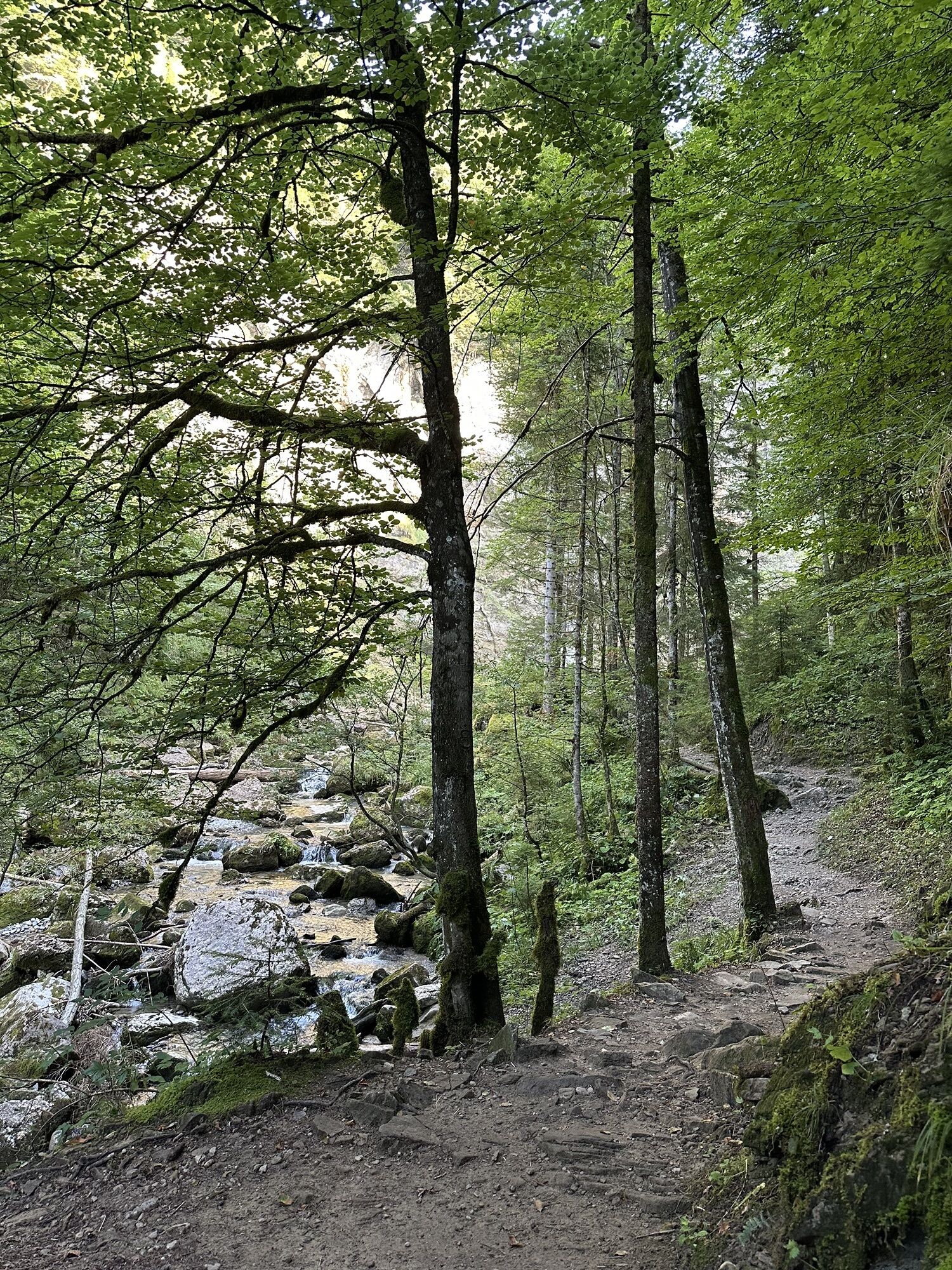
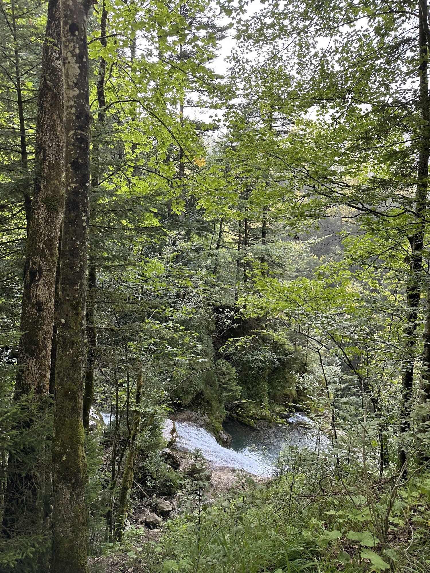
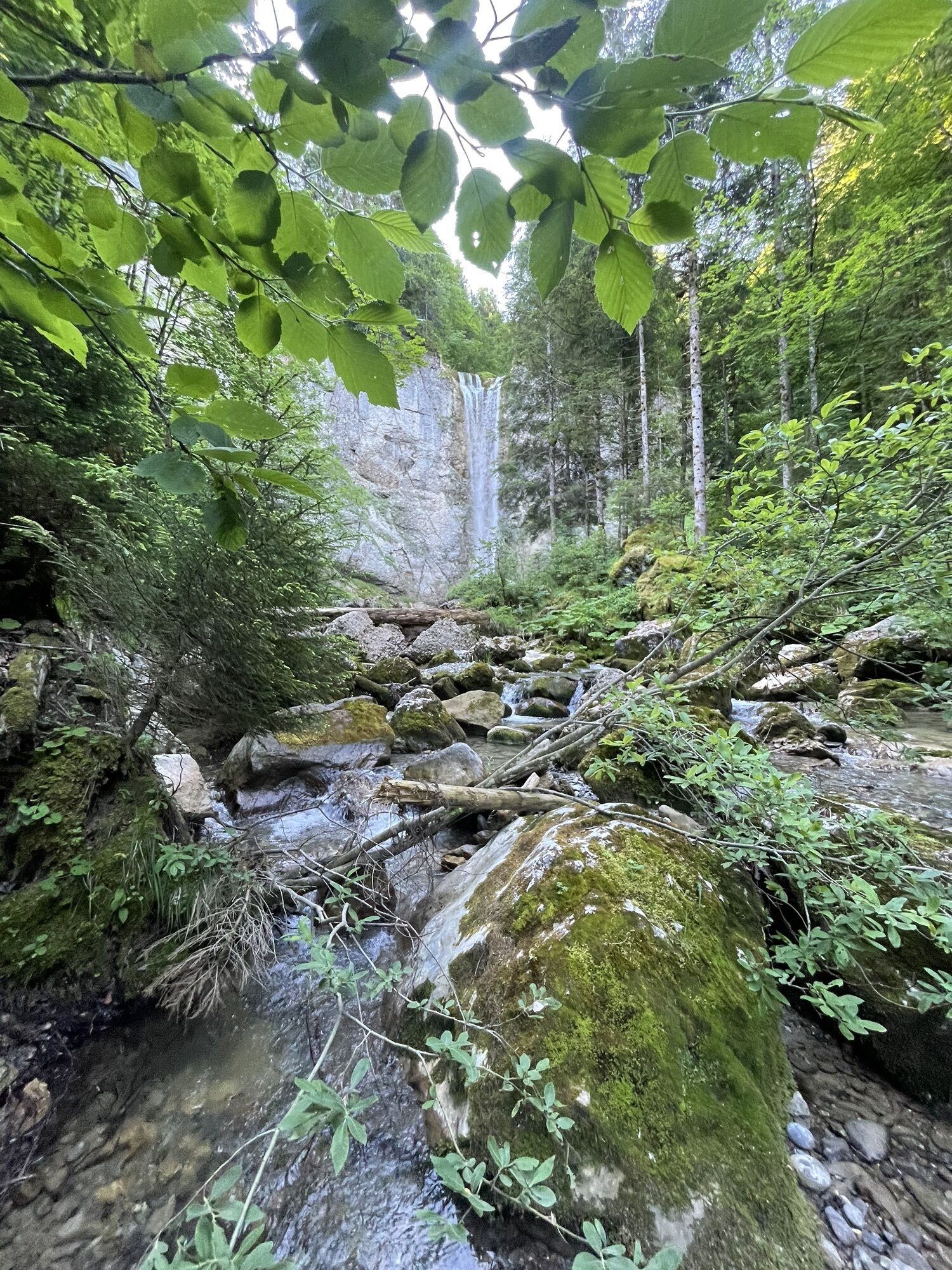
Leuenfall
(938 m)
Chute d'eau
43,8 km
Kapelle St. Magdalena
(799 m)
Lieu de culte
50,0 km
Reformierte Kirche
(832 m)
Lieu de culte
57,8 km
Saint-Gall
(675 m)
Ville
70,1 km
Parcours
Schwarzer Bären - Katholische Kirche Urnäsch - ref. Kirche - Reformierte Kirche
difficile
VTT
70,12
km
Schwarzer Bären
(855 m)
Gare ferroviaire
0,0 km
Notkersegg
(792 m)
Quartier
1,3 km
Notkersegg
(785 m)
Gare ferroviaire
1,8 km
Linsebühl-Dreilinden
(704 m)
Quartier
3,5 km
Saint-Gall
(675 m)
Ville
4,3 km
St. Gallen Güterbahnhof
(676 m)
Gare ferroviaire
5,4 km
St. Gallen Haggen
(676 m)
Gare ferroviaire
7,6 km
Herisau
(771 m)
Ville
14,3 km
Wilen
(761 m)
Gare ferroviaire
15,6 km
Waldstatt
(816 m)
Gare ferroviaire
18,2 km
Waldstatt
(817 m)
Village
18,4 km
Katholische Kirche Urnäsch
(813 m)
Lieu de culte
22,4 km
Urnäsch
(836 m)
Village
23,8 km
ref. Kirche
(834 m)
Lieu de culte
23,9 km
Grünau
(845 m)
Lotissement
25,6 km
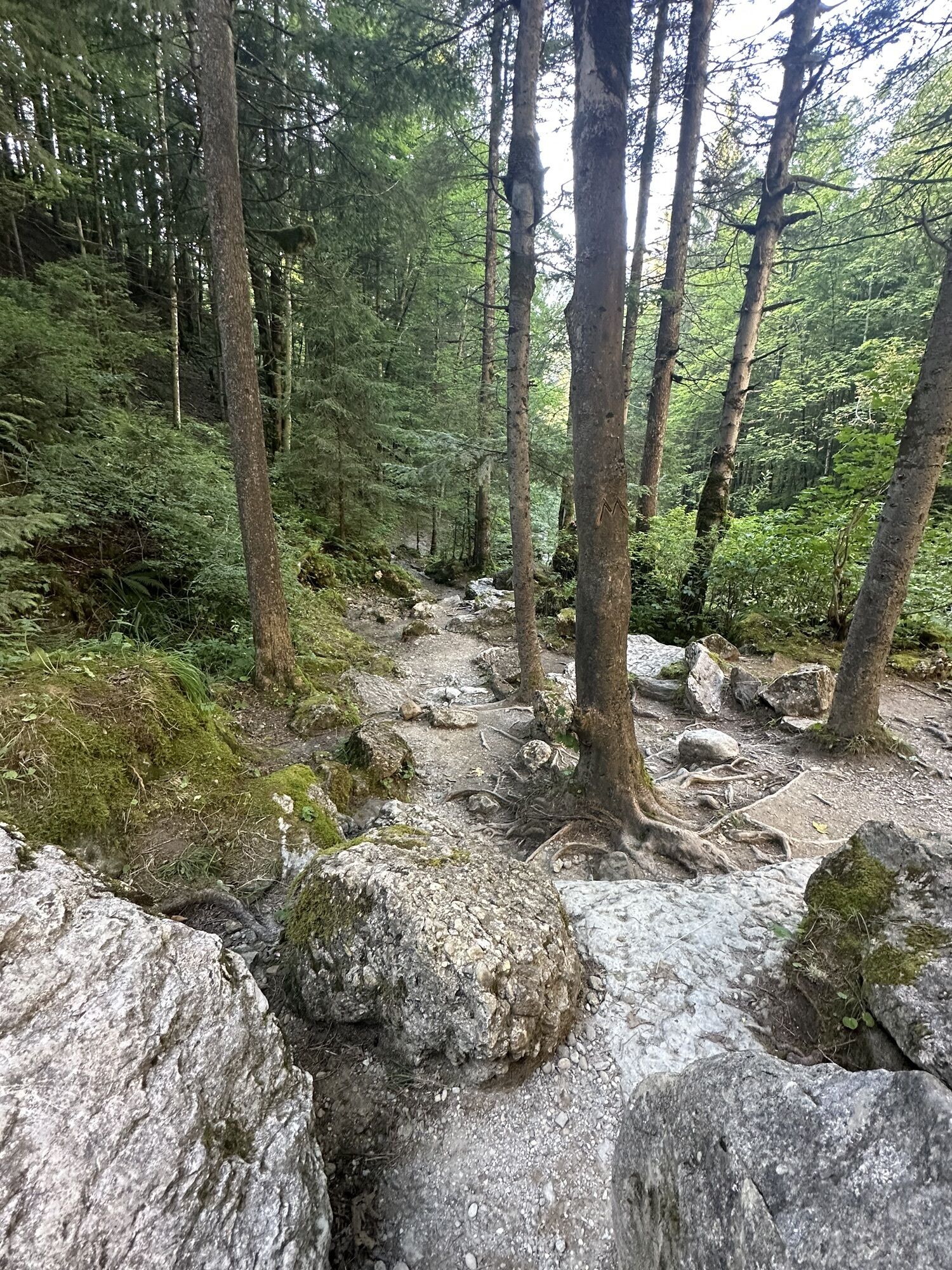
Rossfall
(956 m)
Couloir/terrain
28,8 km
Bächli
(1 125 m)
Couloir/terrain
31,9 km
Riglen
(1 165 m)
Couloir/terrain
32,2 km
Tanne
(1 245 m)
Lotissement
33,0 km
Siebenhütten
(1 333 m)
Lotissement
34,3 km
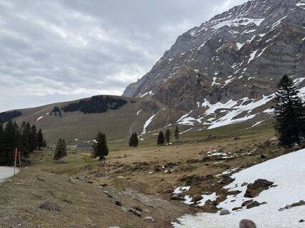
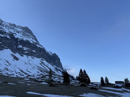
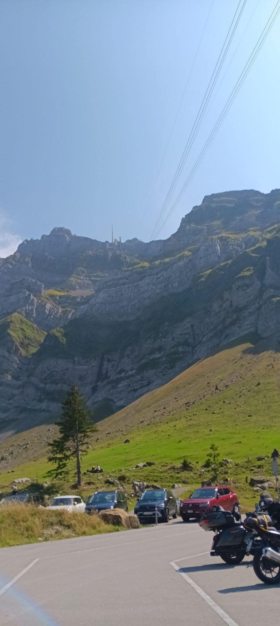
Schwägalp
(1 353 m)
Lotissement
35,4 km
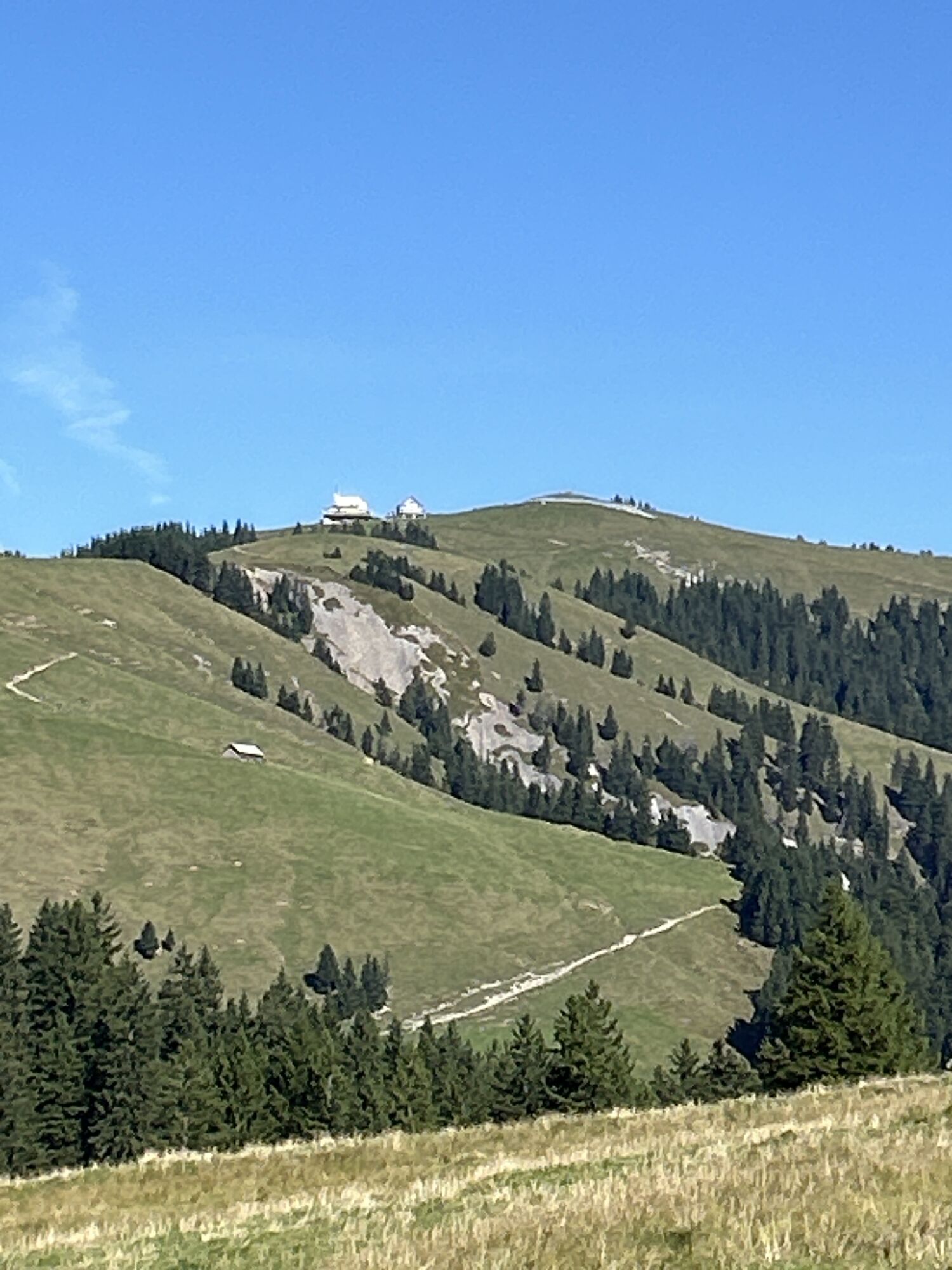
Grand Tour Foto-Spot Säntis Gipfel
(1 352 m)
Point de vue
35,5 km
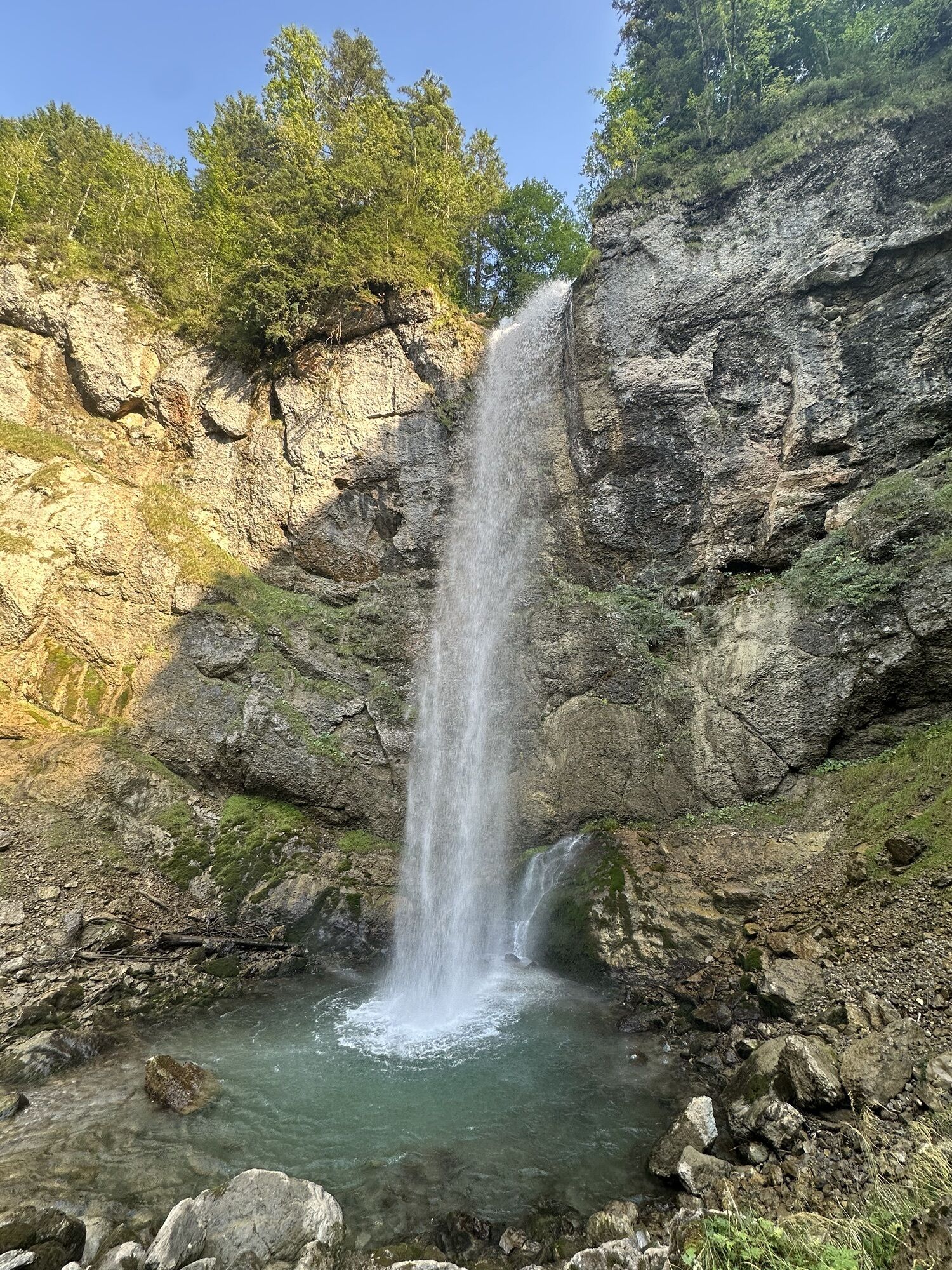
Leuenfall
(938 m)
Chute d'eau
43,8 km
Lehmen
(979 m)
Couloir/terrain
44,5 km
Restaurent Lehmen
(967 m)
Restaurant
44,6 km
Eugst
(948 m)
Couloir/terrain
45,2 km
Restaurant Warth
(940 m)
Restaurant
45,7 km
Althus
(932 m)
Couloir/terrain
45,9 km
Untere Bickeren
(920 m)
Couloir/terrain
46,7 km
Hagtobel
(912 m)
Couloir/terrain
46,8 km
Weissbad
(829 m)
Village
48,5 km
Pizzeria Alpenhof
(818 m)
Restaurant
48,6 km
Weissbad
(820 m)
Gare ferroviaire
48,8 km
Steinegg
(807 m)
Village
50,0 km
Kapelle St. Magdalena
(799 m)
Lieu de culte
50,0 km
Appenzell
(778 m)
Ville
51,7 km
Nollisweid
(912 m)
Quartier de la ville
53,2 km
Appenzell Meistersrüte
(926 m)
Village
53,5 km
Sammelplatz
(931 m)
Gare ferroviaire
53,8 km
Reformierte Kirche
(832 m)
Lieu de culte
57,8 km
Krung-Thai
(828 m)
Restaurant
57,8 km
Bühler
(848 m)
Village
58,0 km
Steigbach
(814 m)
Gare ferroviaire
59,6 km
Teufen AR
(837 m)
Gare ferroviaire
61,6 km
Teufen AR
(868 m)
Village
62,2 km
Schwarzer Bären
(852 m)
Restaurant
70,0 km
Saint-Gall
(675 m)
Ville
70,1 km
Pas encore d'évaluation
Webcams de la tournée
-
Ebenalp - Luftseilbahn Wasserauen
-
Schwellbrunn - Restaurant Landscheide
-
Skilifte Alpsteinblick
-
Skilifte Alpsteinblick
-
Loipenhöttli Gonten
-
Loipenhöttli Gonten
-
Kloster St. Gallen
-
Bergrestaurant Hochhamm - Schönengrund
-
Landgasthof Eischen - Appenzell
-
Appenzell - Hauptgasse
-
Wald
-
Hoher Kasten - Drehrestaurant
-
Hoher Kasten - Drehrestaurant
-
Teufen AR
-
Urnäsch
-
Hoher Hirschberg
-
Hoher Kasten
-
Hoher Kasten
-
Hoher Kasten
-
Hoher Kasten
-
Hoher Kasten
-
Hoher Kasten
-
Hoher Kasten
-
Hoher Kasten
-
Ebenalp
-
Scheitlinsbüchel
-
Schwägalp Säntis
-
Leugangen
-
Gasthof Bären Schlatt
-
Kronberg
-
Hochhamm
-
Trogen Unterbach
-
Berggasthaus Alter Säntis
-
Berggasthaus Alter Säntis
-
Schönengrund - Wald
-
Gais Badi
-
Untergäbris
-
Berggasthaus Ruhesitz
-
Gossau SG
-
Hoher Kasten - Rheintal
Parcours populaires à proximité
-
4,7
Wasserauen - Seealpsee - Wasserauen
moyenRandonnée 7,71 km -
4,6
Tour Brülisau - Saxerlücke - Hoherkasten⛰
difficileRandonnée 16,6 km -
4,9
Säntis-Gipfeltour, Wasserauen / Appenzell Innerrhoden
difficileRandonnée 21,1 km -
5,0
Staubern-Runde (15.8.2021)
moyenRandonnée 8,65 km -
4,8
2 Seenwanderung Sämtisersee und Fälensee
moyenRandonnée 14,6 km -
5,0
Traumhafte 3-Seen/Hütten Runde in Appenzell Schweiz
moyenRandonnée d'altitude 19,7 km -
4,6
Schwägalp - Berggasthaus Tierwies - Girenspitz - Säntis
difficileRandonnée 4,83 km -
4,6
Frümsen - Saxerlücke - Staubern, Schweiz
moyenRandonnée 14,0 km -
4,9
Schwende, Appenzell Innerrhoden
moyenRandonnée 11,8 km -
5,0
Staubern
difficileRandonnée 9,48 km
Randonnée et suivi

Plus de 550.000 propositions de circuits, des cartes détaillées et un planificateur d'itinéraire intuitif font de cette application un must pour tous les passionnés de nature.

Ne manquez pas les offres et l'inspiration pour vos prochaines vacances
S'inscrire à la newsletter
Erreur
Une erreur s'est produite. Veuillez réessayer.
Merci pour votre inscription
Votre adresse électronique a été ajouté à la liste de diffusion.
Parcours en Europe
Autriche
Suisse
Allemagne
Italie
Slovénie
France
Pays-Bas
Belgique
Pologne
Liechtenstein
République tchèque
Slovaquie
Espagne
Croatie
Bosnie-Herzégovine
Luxembourg
Andorre
Portugal
Islande
Royaume-Uni
Irlande
Grèce
Albanie
Macédoine du Nord
Malte
Norvège
Monténégro
Moldavie
Kosovo
Hongrie
Saint-Marin
Roumanie
Estonie
Lettonie
Bélarus
Chypre
Lituanie
Serbie
Bulgarie
Monaco
Danemark
Suède
Finlande