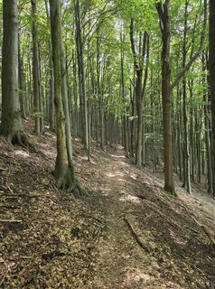
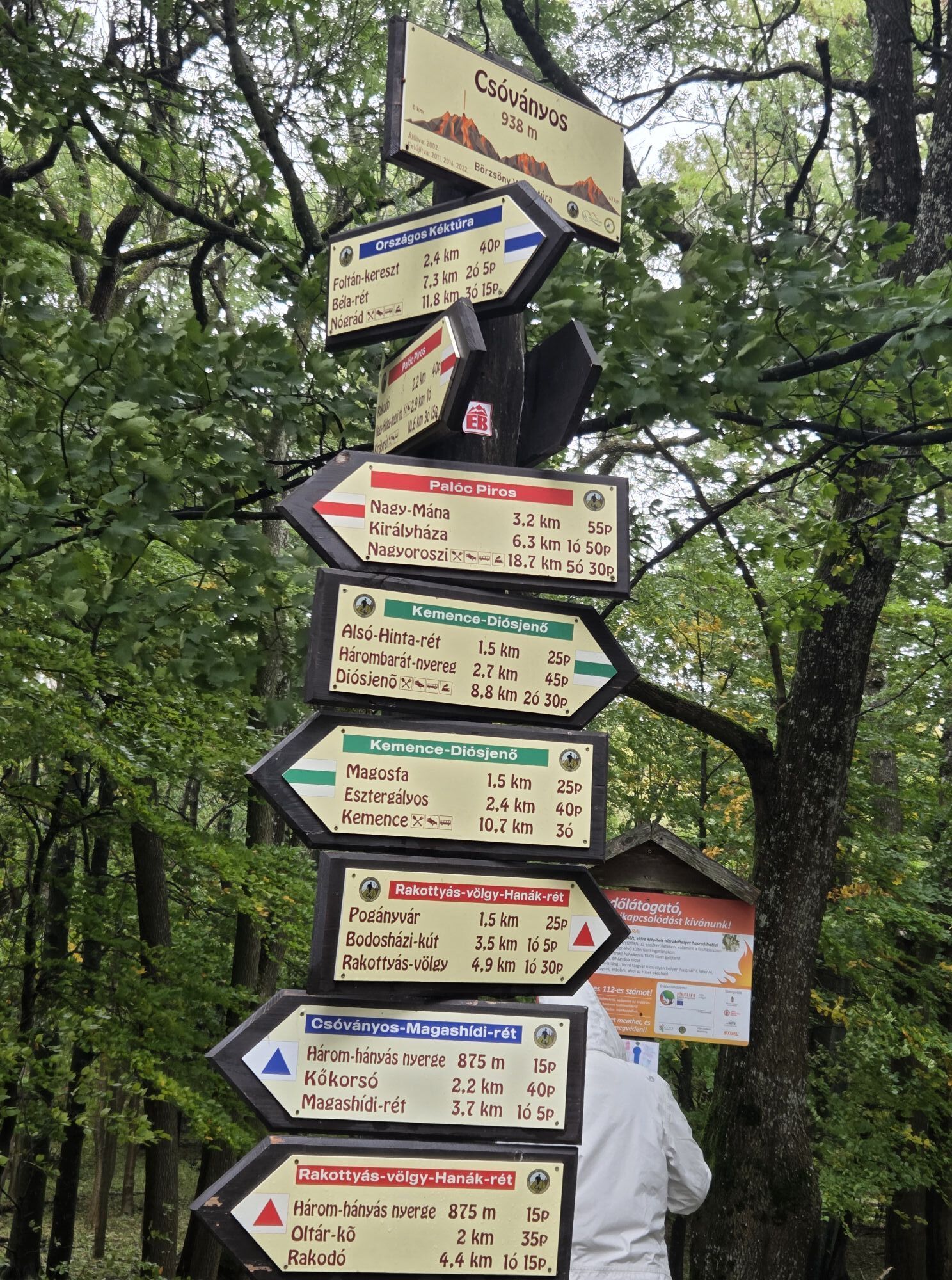
Diósjenő - Csóványos - Nagy-Hideg-hegy - Nógrád
difficile
Naviguer
Naviguer
Télécharge cette visite sur ton portable
Diósjenő - Csóványos - Nagy-Hideg-hegy - Nógrád
difficile
Randonnée
26,74
km
Scanner le code QR et commencer la navigation dans l'application bergfex

Randonnée & tracking


Diósjenő - Csóványos - Nagy-Hideg-hegy - Nógrád
difficile
Distance
26,74
km
Durée
07:33
h
Ascension
1 047
m
Altitude
217 -
951
m
Téléchargement de la piste
Diósjenő - Csóványos - Nagy-Hideg-hegy - Nógrád
difficile
Randonnée
26,74
km


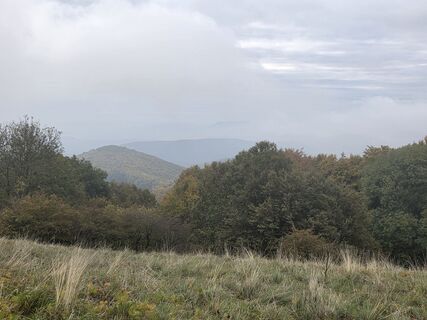
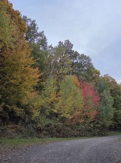
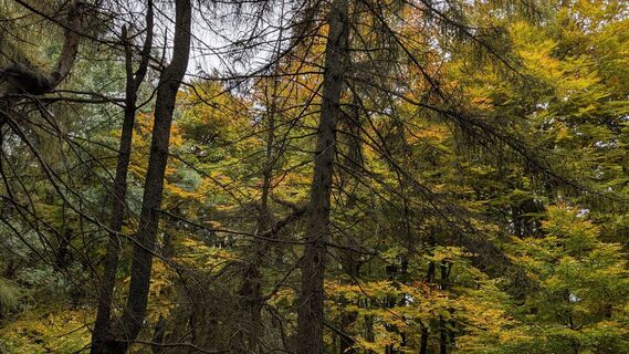
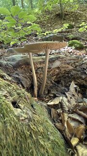
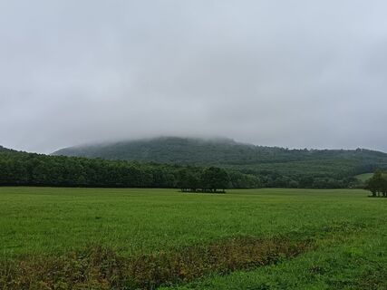
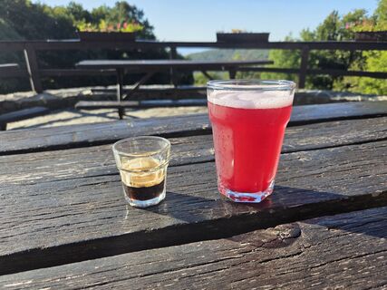
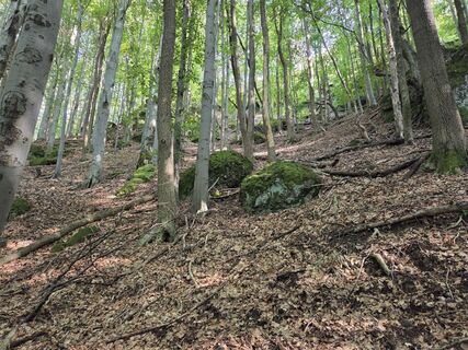
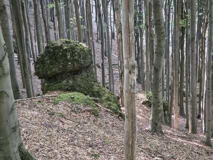
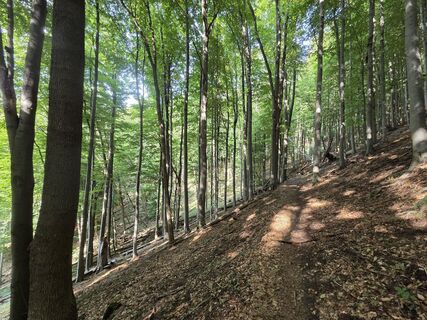
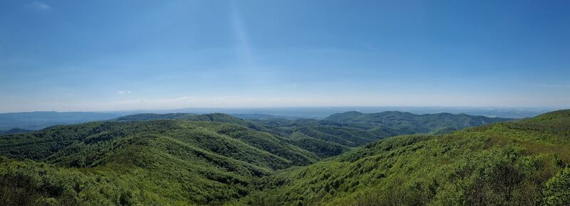
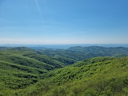
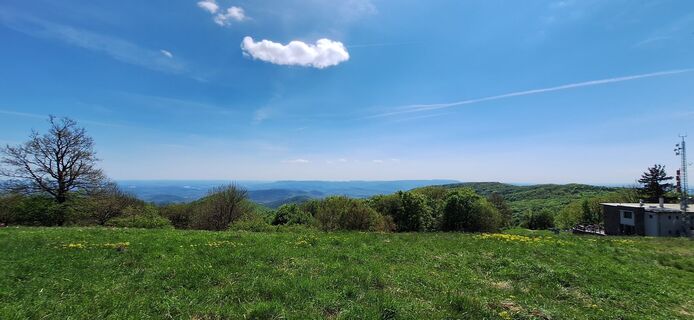
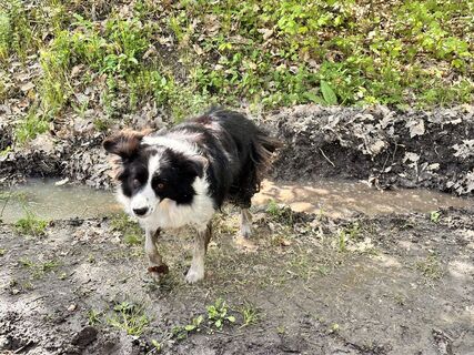
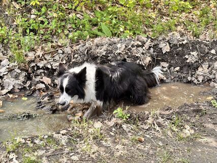
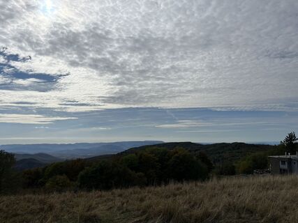
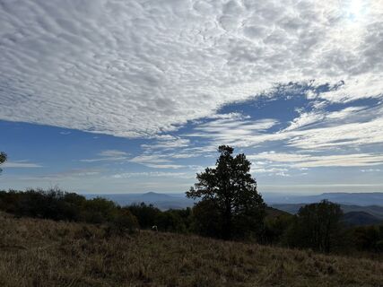
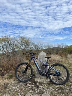
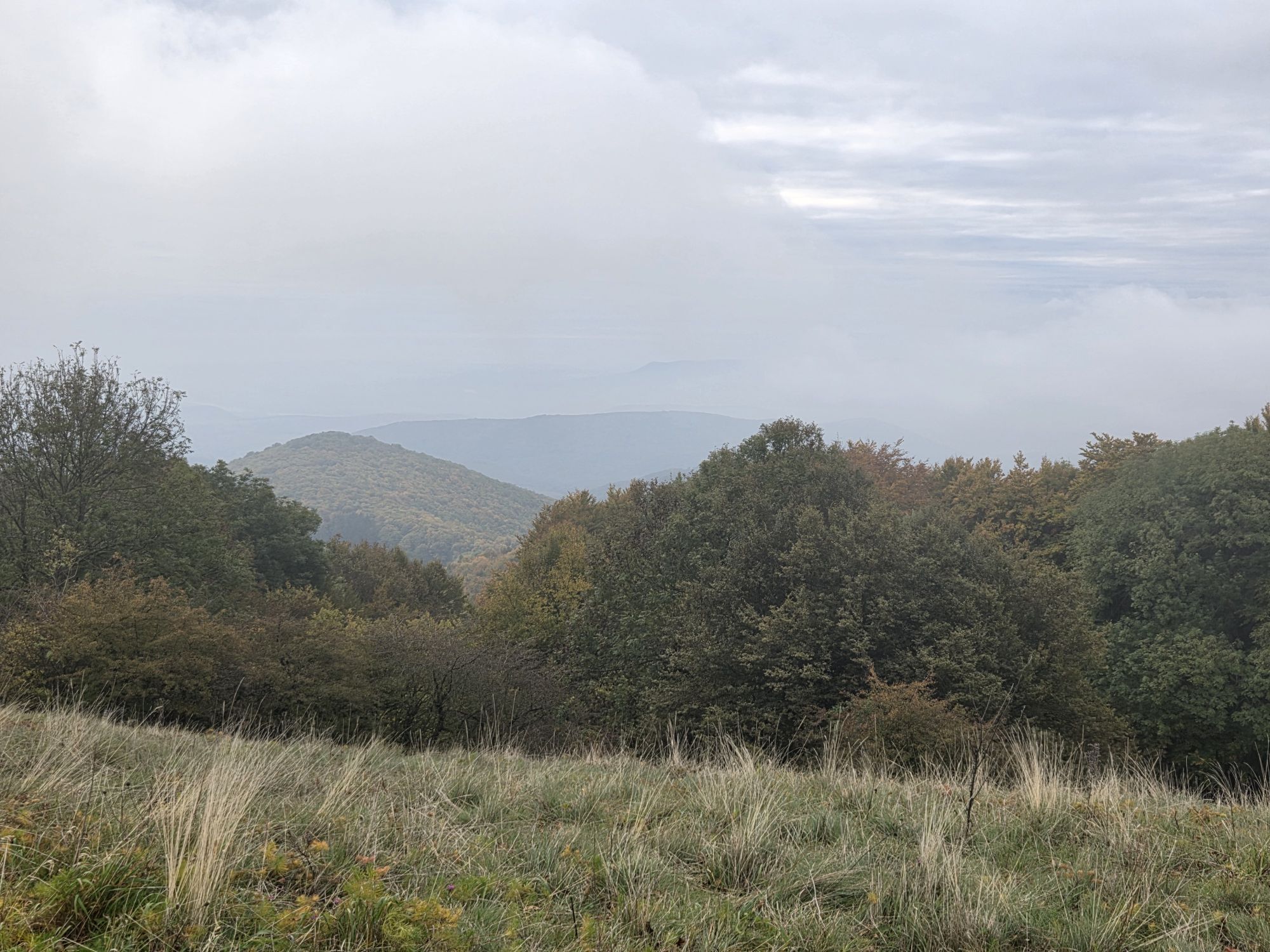
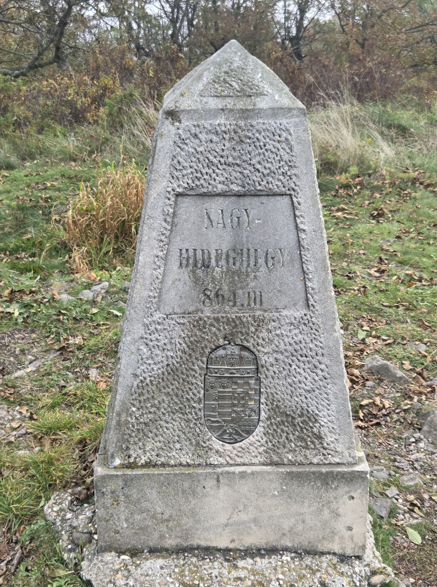
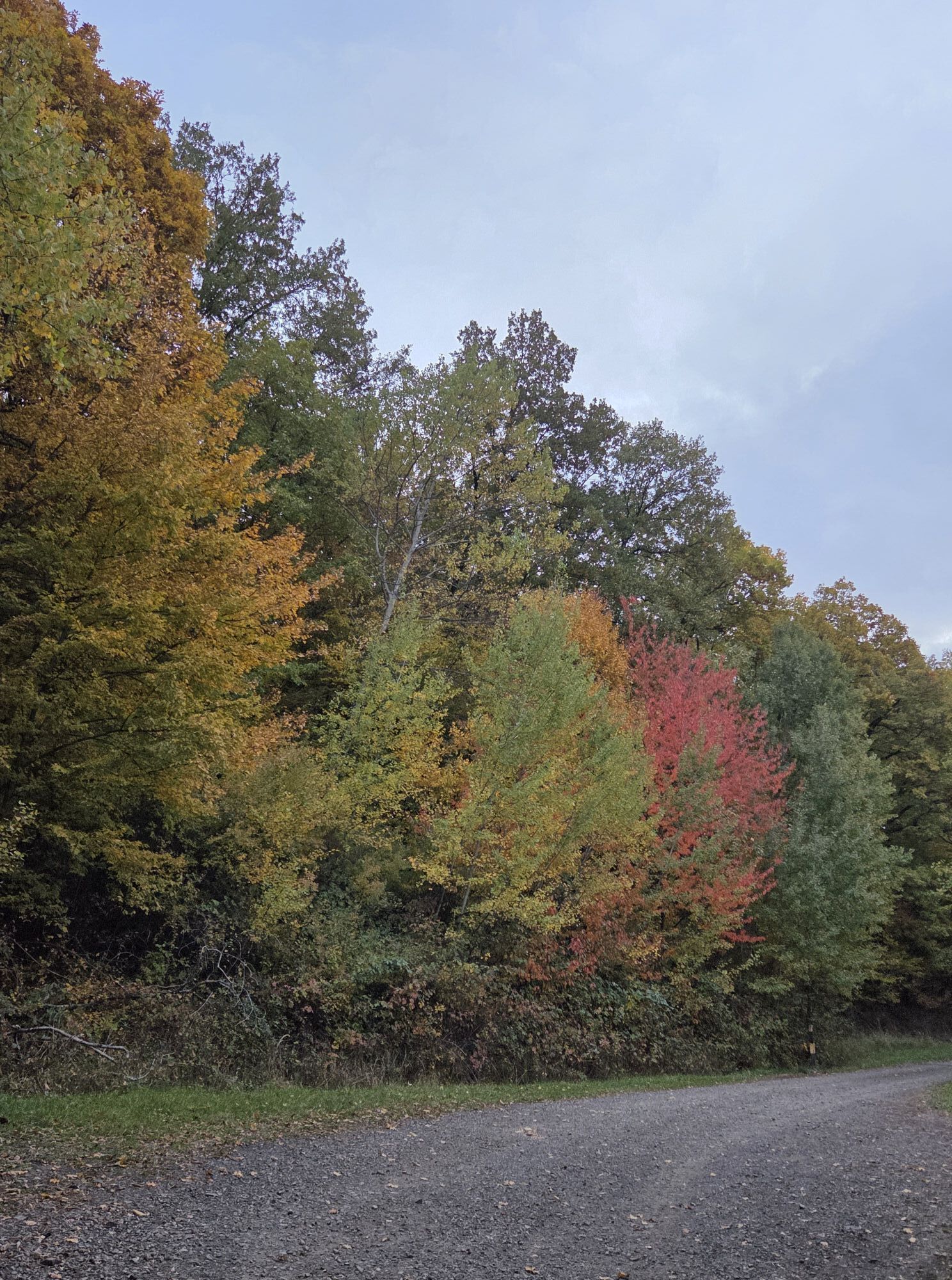
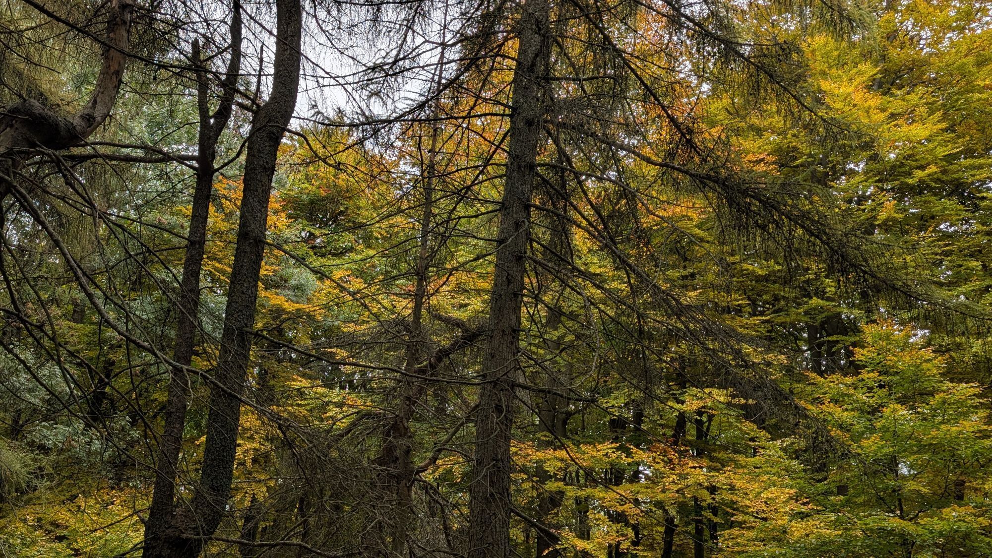
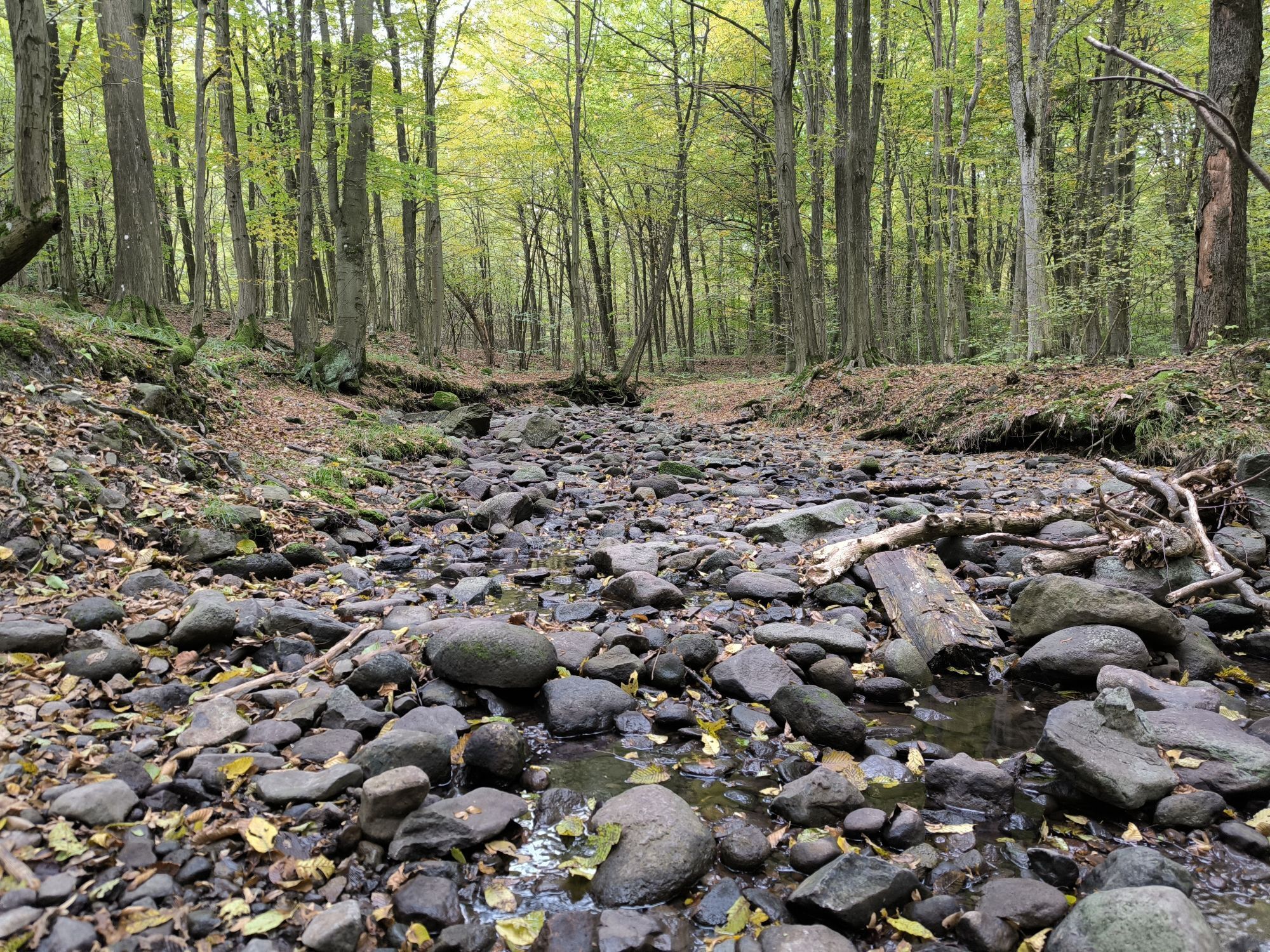
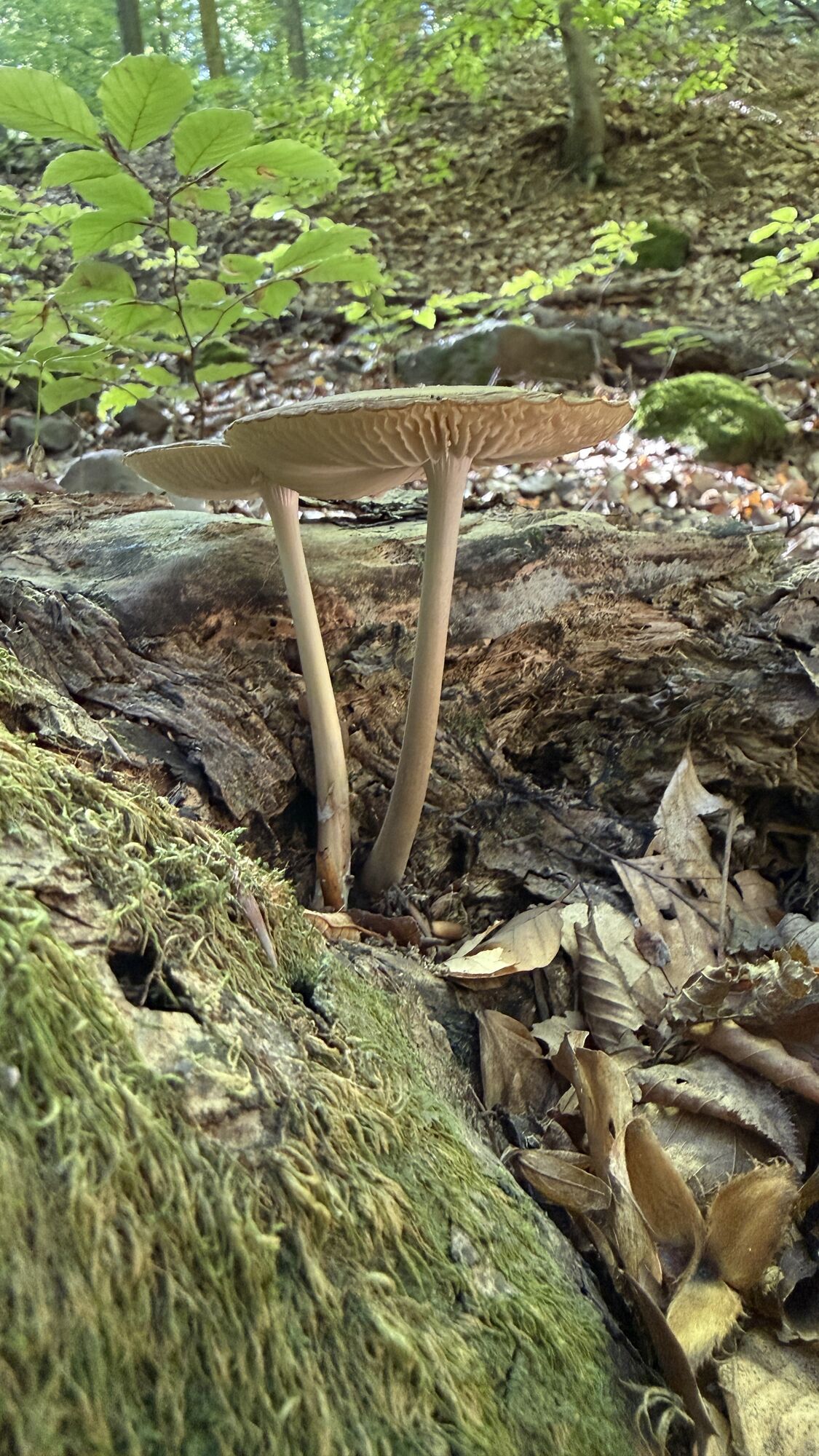
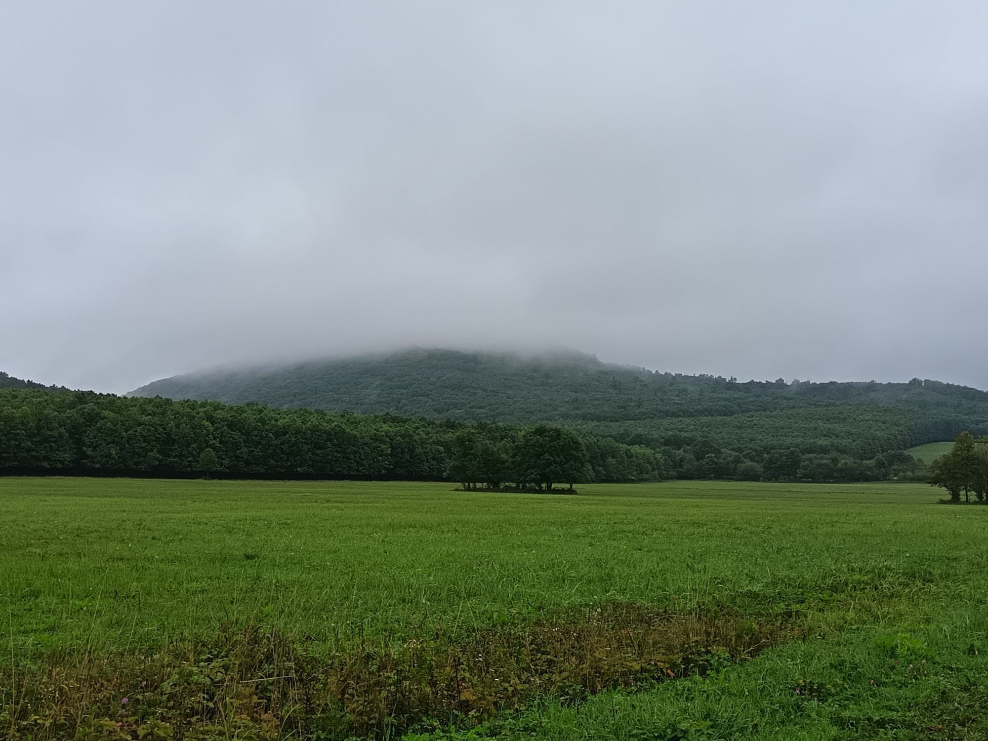
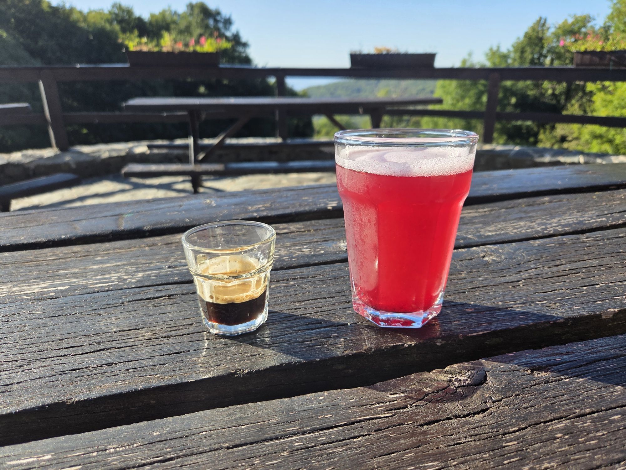
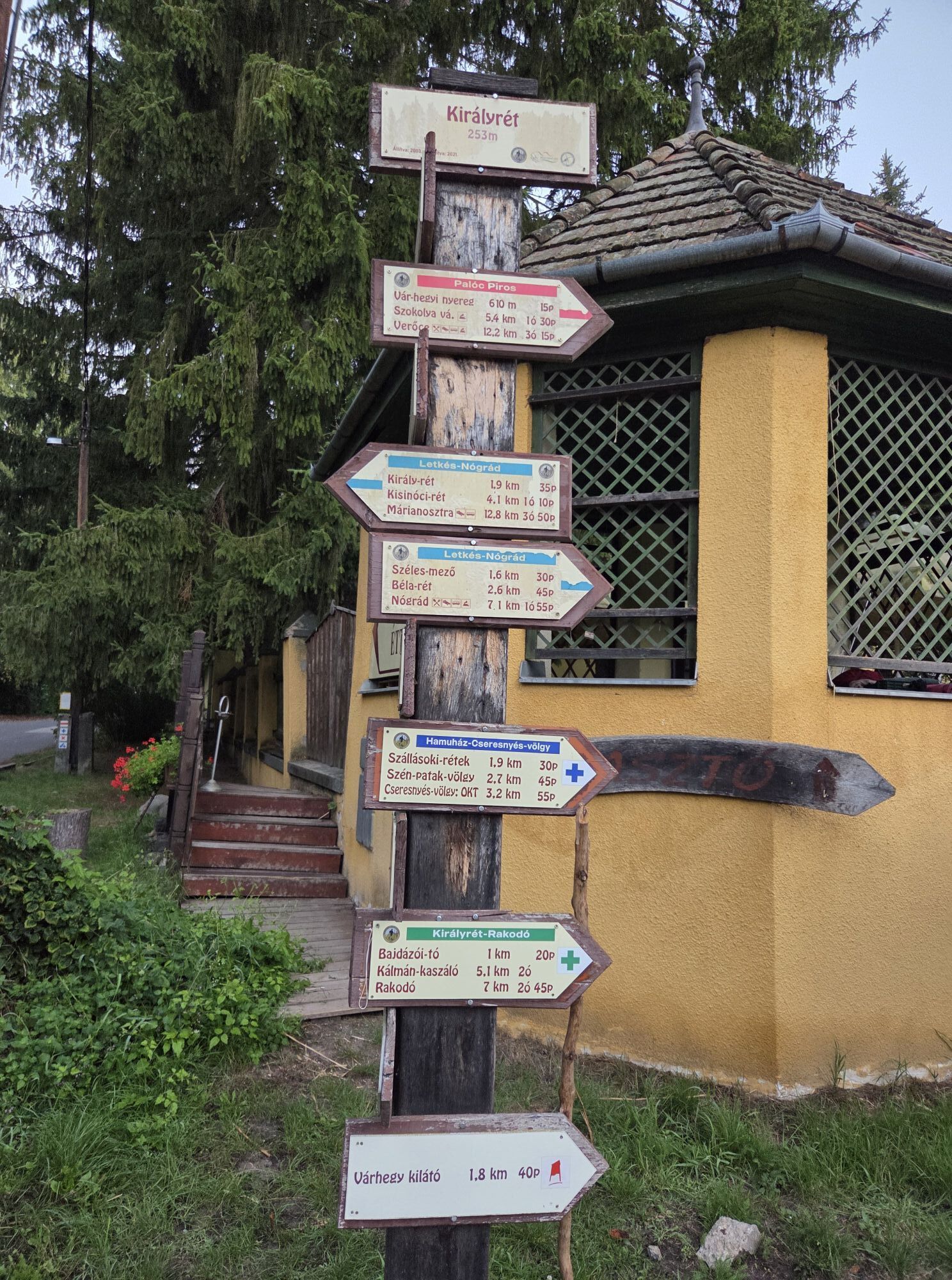
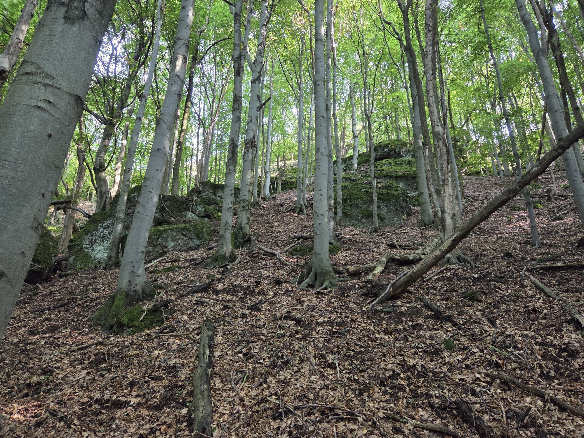
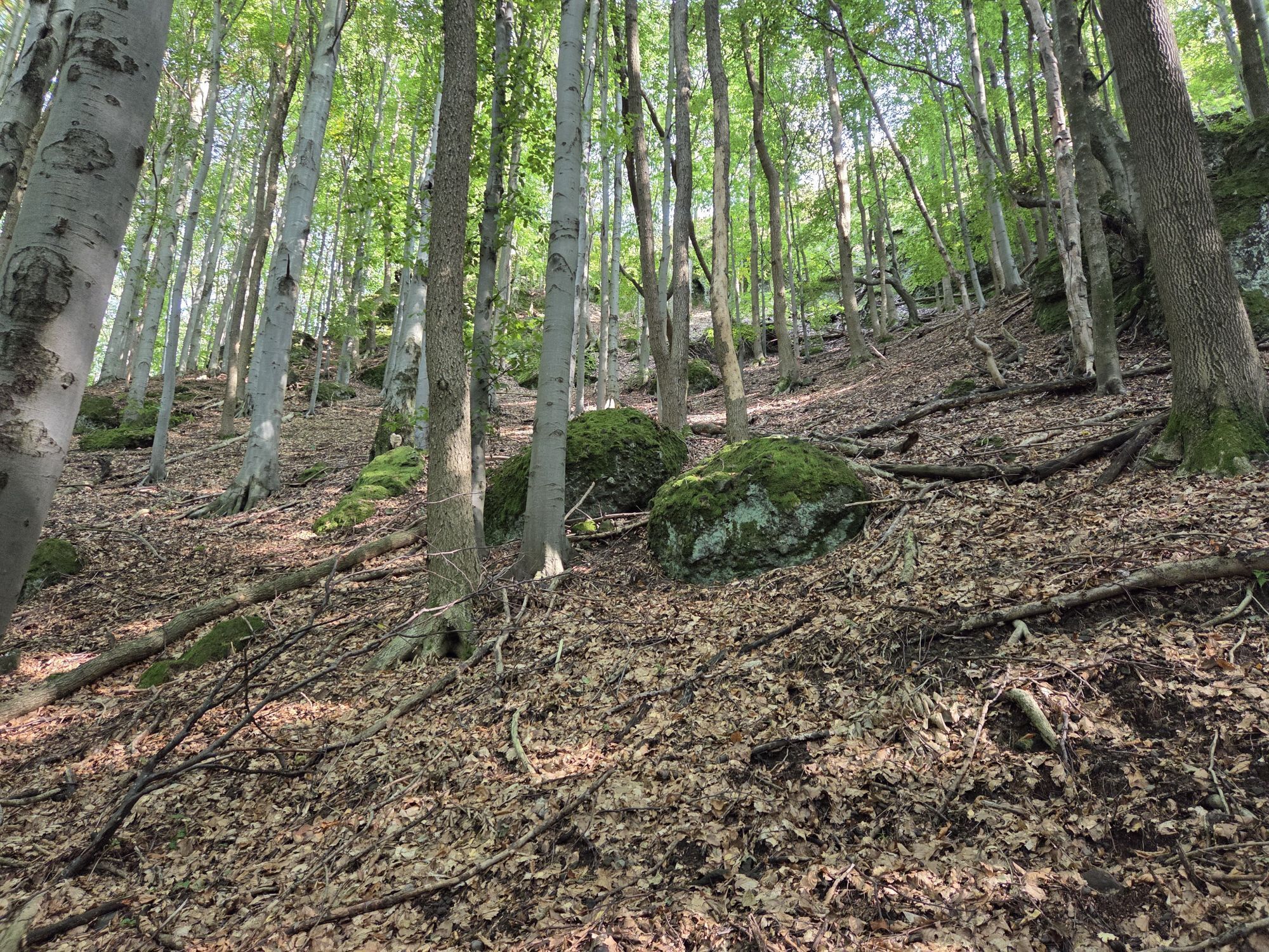
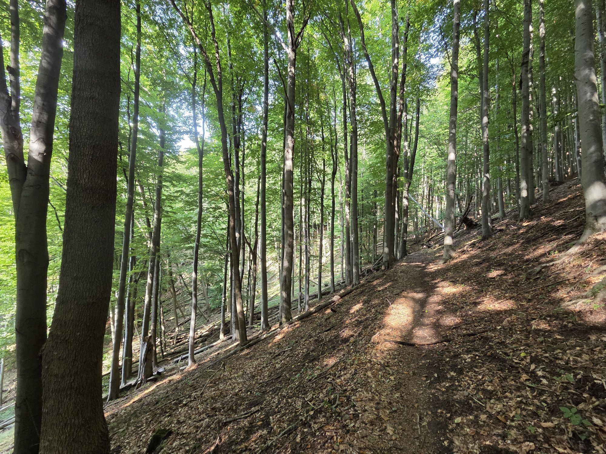
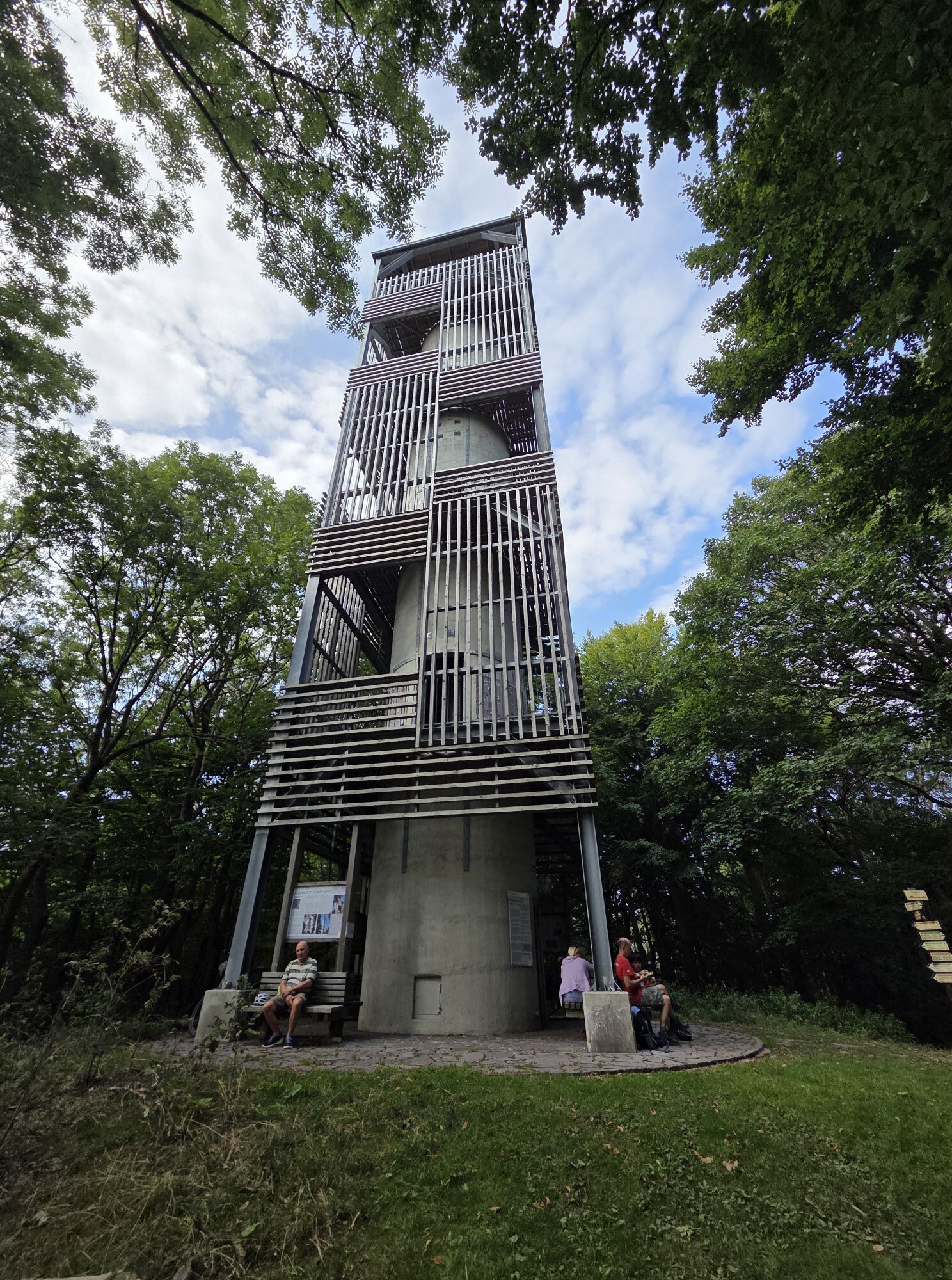
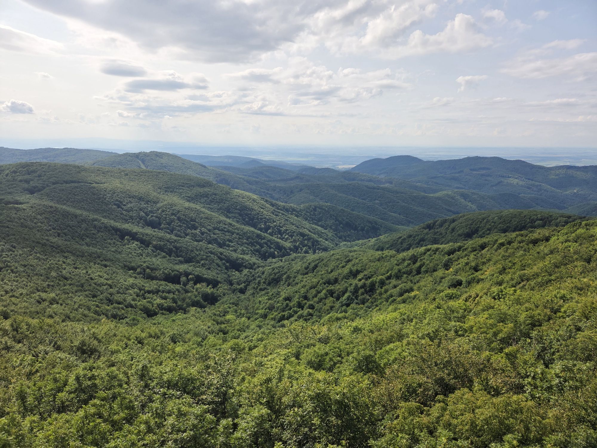
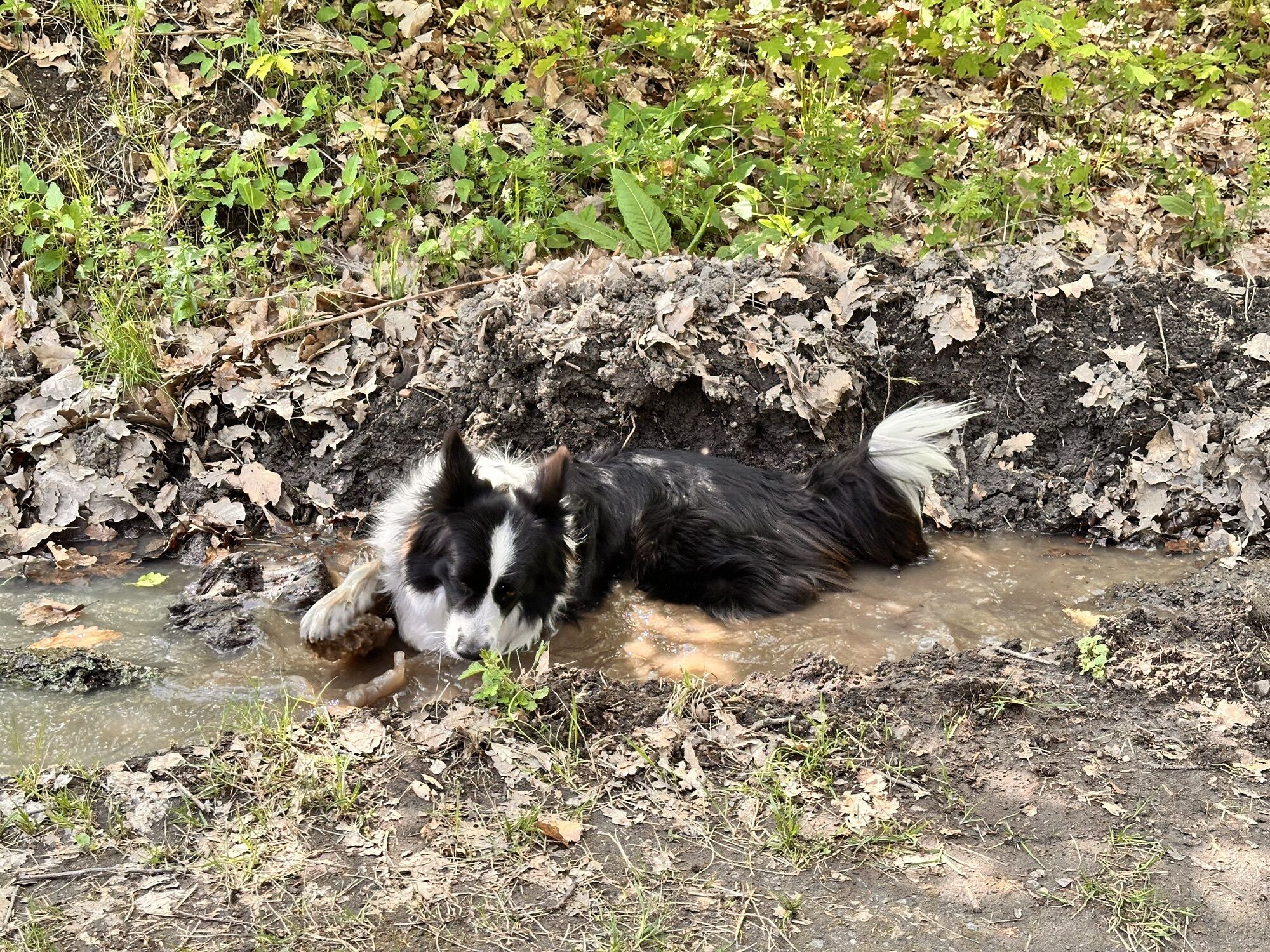
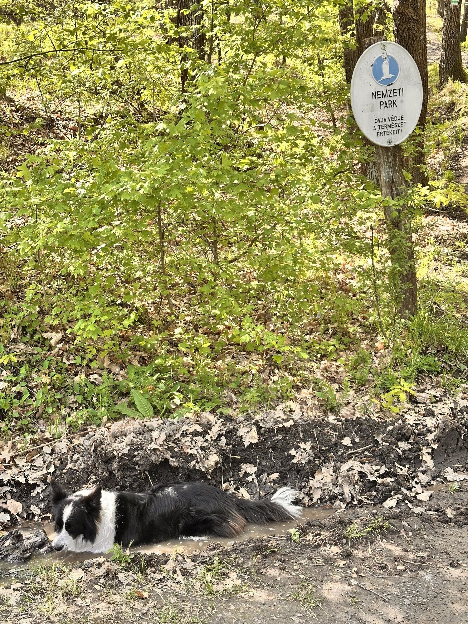
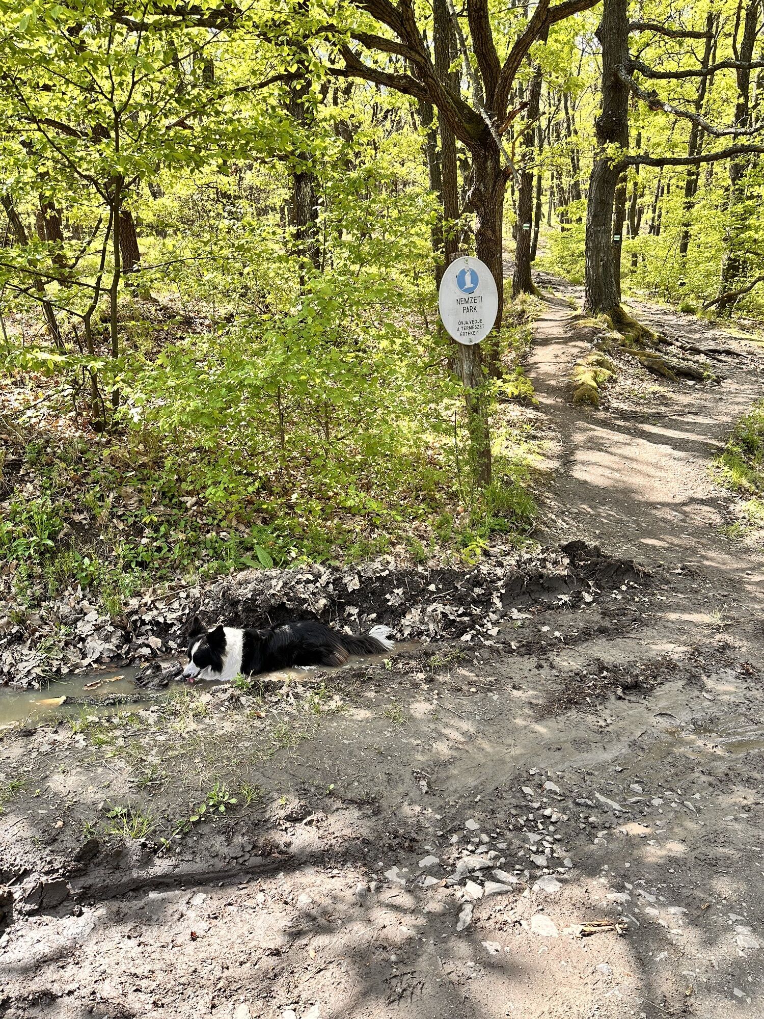
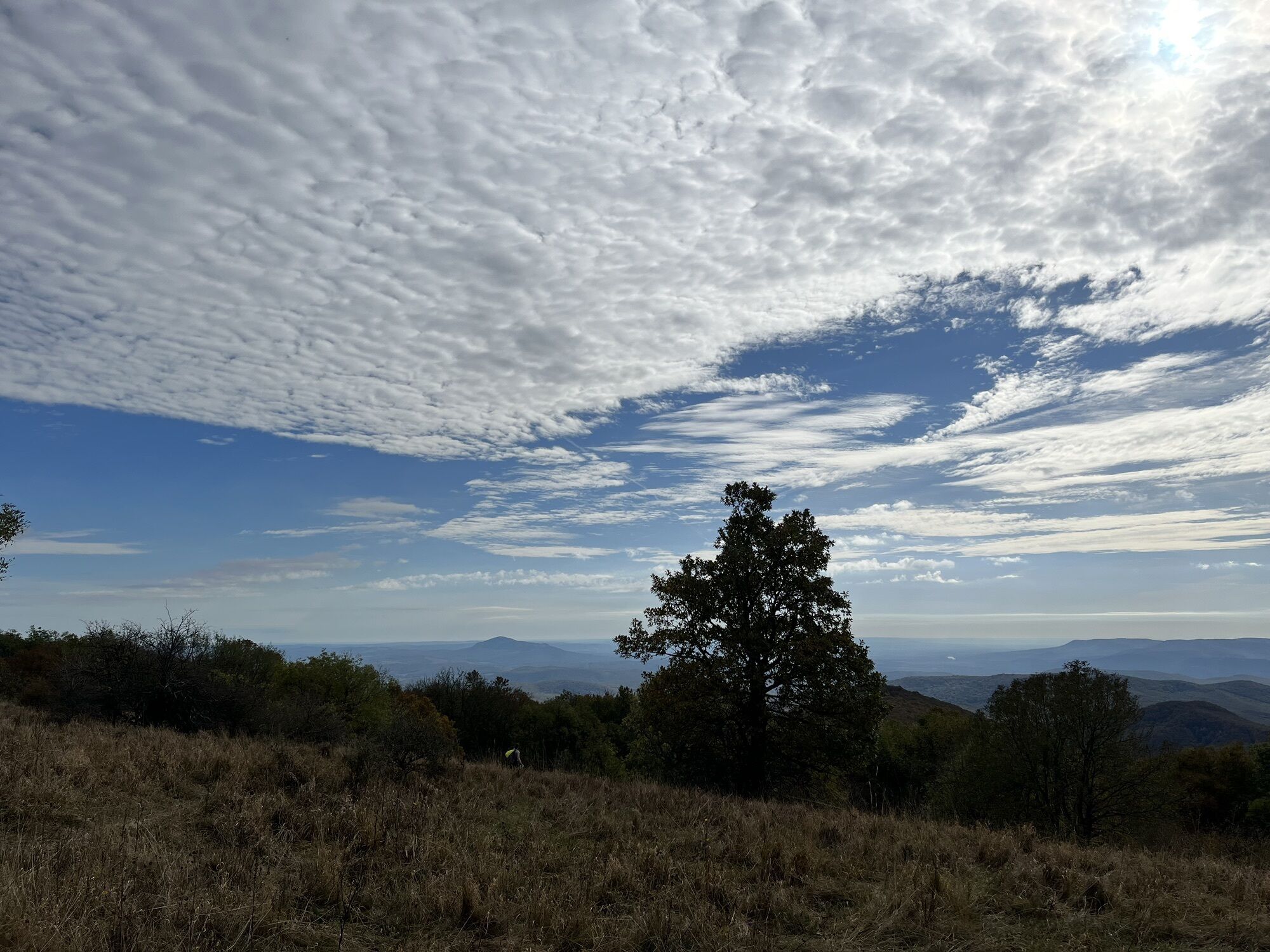
Photos de nos utilisateurs
-
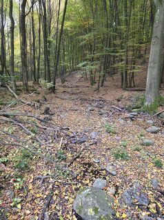
 © János Zsolt MahrCréé le 18.10.2025
 -
 © János Zsolt MahrCréé le 18.10.2025
 -
 © János Zsolt MahrCréé le 18.10.2025
 -
 © János Zsolt MahrCréé le 18.10.2025
 -
 © Gabor SzenderffyCréé le 17.10.2025
 -
 © Gabor SzenderffyCréé le 17.10.2025
 -
 © János Zsolt MahrCréé le 11.10.2025
 -
 © László BokodiCréé le 11.10.2025
 -
 © Julika JármerCréé le 04.10.2025
 -
 © Julika JármerCréé le 04.10.2025
 -
 © bigbosziCréé le 04.10.2025
 -
 © Julika JármerCréé le 25.09.2025
 -
 © János Zsolt MahrCréé le 21.09.2025
 -
 © János Zsolt MahrCréé le 21.09.2025
 -
 © János Zsolt MahrCréé le 21.09.2025
 -
 © János Zsolt MahrCréé le 13.09.2025
 -
 © János Zsolt MahrCréé le 13.09.2025
 -
 © János Zsolt MahrCréé le 13.09.2025
 -
 © János Zsolt MahrCréé le 13.09.2025
 -
 © János Zsolt MahrCréé le 13.09.2025
 -
 © János Zsolt MahrCréé le 13.09.2025
 -
 © János Zsolt MahrCréé le 13.09.2025
 -
 © János Zsolt MahrCréé le 13.09.2025
 -
 © Edit Hudak 1Créé le 19.07.2025
 -
 © Vagabond333Créé le 02.05.2025
 -
 © Vagabond333Créé le 02.05.2025
 -
 © Beata BeartitudeCréé le 02.05.2025
 -
 © Daniel EndrediCréé le 20.04.2025
 -
 © Daniel EndrediCréé le 20.04.2025
 -
 © Daniel EndrediCréé le 20.04.2025
 -
 © Daniel EndrediCréé le 20.04.2025
 -
 © Daniel EndrediCréé le 20.04.2025
 -
 © Buda GoglCréé le 23.10.2023
 -
 © Buda GoglCréé le 23.10.2023
 -
 © Buda GoglCréé le 23.10.2023


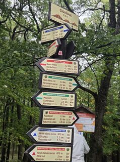
Parcours
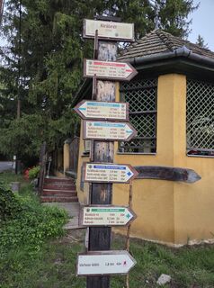
Református templom
(249 m)
Lieu de culte
1,3 km
Csehvár
(523 m)
Sommet
4,3 km
Varsa-tető
(873 m)
Sommet
9,0 km
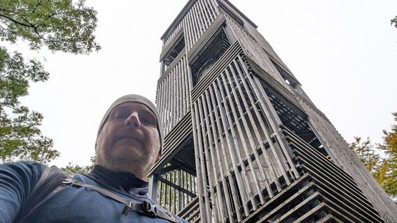
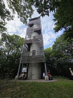
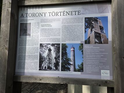
Csóványos
(938 m)
Sommet
9,8 km
Hangyás-bérc
(863 m)
Sommet
11,1 km
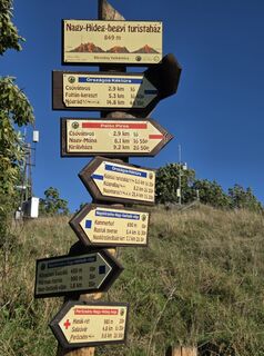
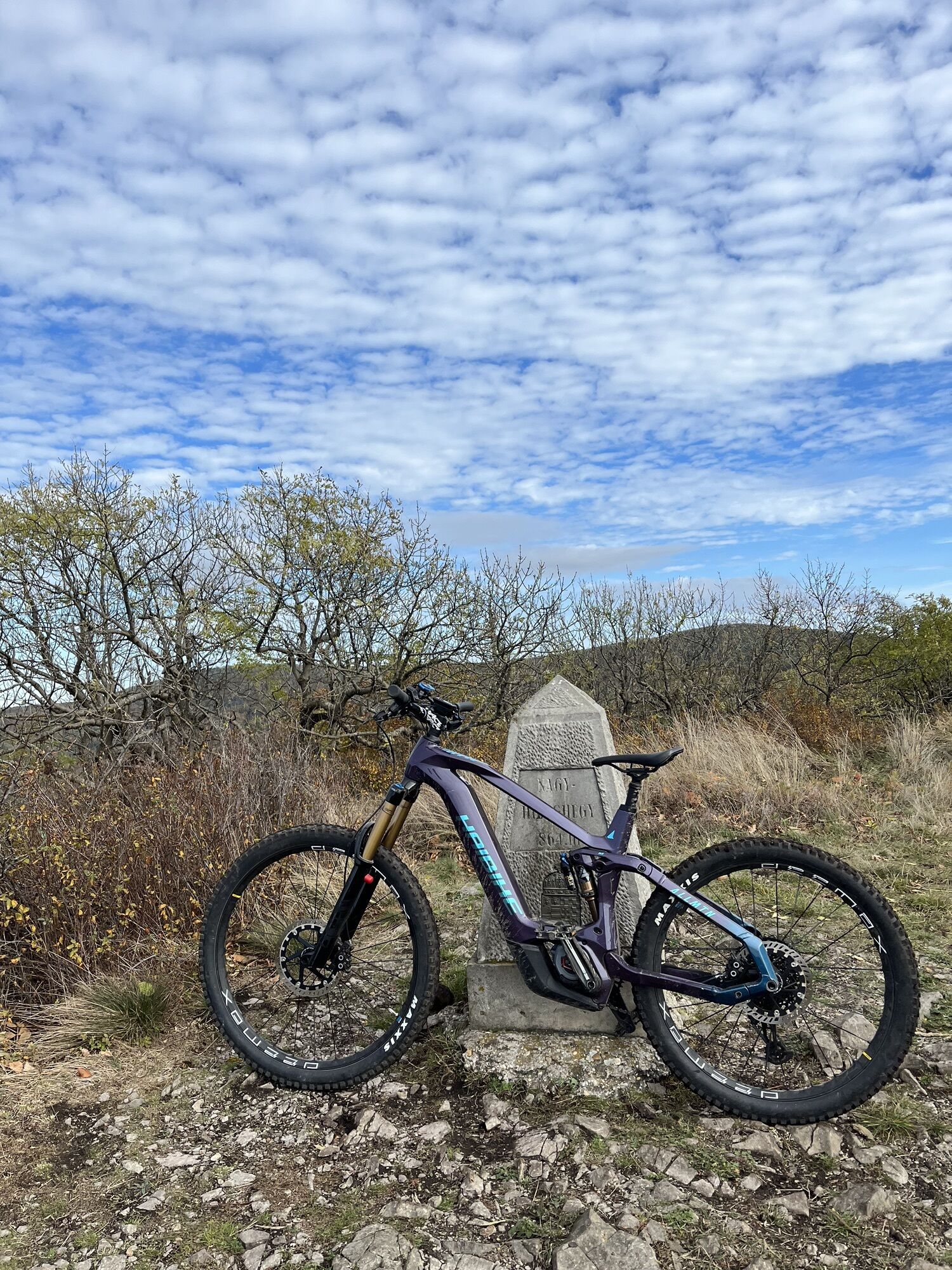
Nagy-Hideg-hegy
(864 m)
Sommet
12,7 km
Természetbarát-forrás
(223 m)
Source
26,3 km
Parcours
Diósjenő - Csóványos - Nagy-Hideg-hegy - Nógrád
difficile
Randonnée
26,74
km
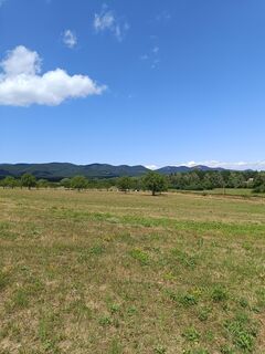
Diósjenő
(233 m)
Gare ferroviaire
0,0 km
Diósjenő
(252 m)
Village
0,7 km
Mona Liza pizzéria
(246 m)
Restaurant
1,1 km
Református templom
(249 m)
Lieu de culte
1,3 km
Csehvár
(523 m)
Sommet
4,3 km
505
(509 m)
Selle de montagne
4,4 km
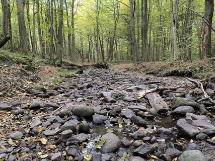
Gál-rét
(502 m)
Couloir/terrain
5,2 km
Hárombarát-nyereg
(714 m)
Selle de montagne
7,0 km
Varsa-tető
(873 m)
Sommet
9,0 km
Csóványos
(938 m)
Sommet
9,8 km
Hangyás-bérc
(863 m)
Sommet
11,1 km
Égés-tető
(833 m)
Sommet
11,5 km
Rakodó-nyereg
(779 m)
Selle de montagne
12,0 km
Nagy-Hideg-hegy
(864 m)
Sommet
12,7 km
Nagy Hideg-hegyi Turistaház (felújítás miatt zárva 2024 őszig)
(851 m)
Refuge
12,8 km
Hubertusz-forrás
(272 m)
Source
20,2 km
Fáradt Vándor
(258 m)
Restaurant
20,3 km
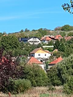
Királyrét
(255 m)
Quartier
20,5 km
Gránátos oldal
(283 m)
Couloir/terrain
20,7 km
Szőlős-mező
(294 m)
Couloir/terrain
23,7 km
Kálvária-domb
(264 m)
Sommet
25,8 km
Kálvária kápolna
(258 m)
Lieu de culte
25,8 km
Természetbarát-forrás
(223 m)
Source
26,3 km
Csurgó forrás
(223 m)
Source
26,3 km
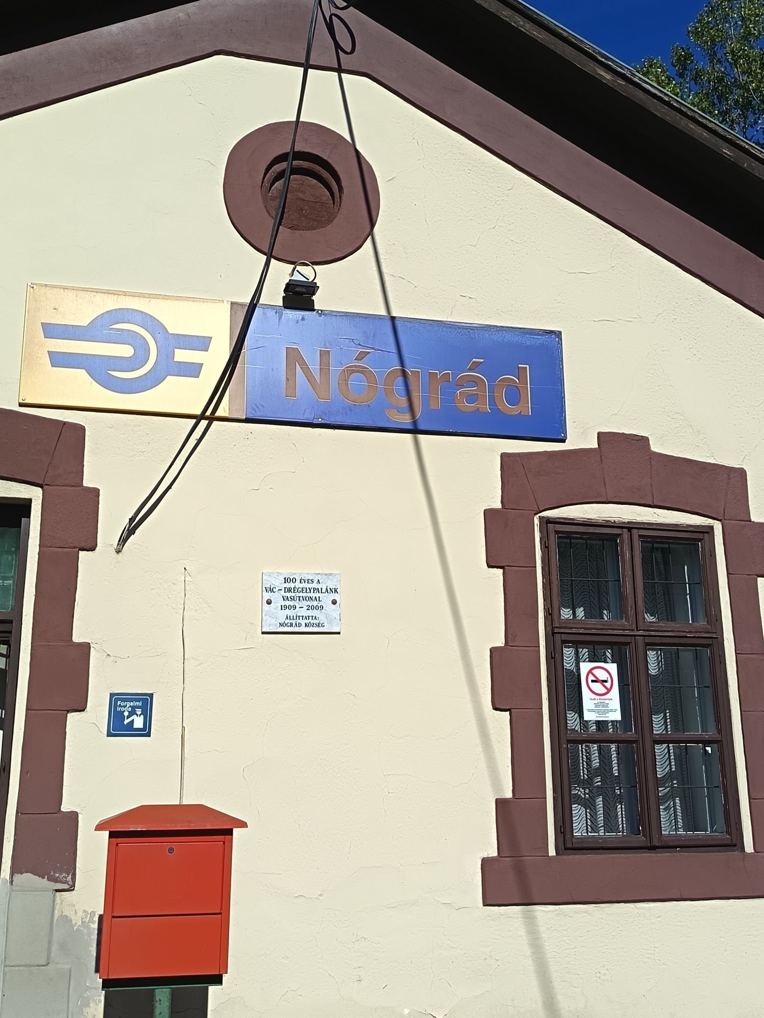
Nógrád
(219 m)
Gare ferroviaire
26,7 km
Pas encore d'évaluation
Parcours populaires à proximité
-
4,7
Királyrét ( cseresznyefa parkoló)- Nagy-Hideg-Hegy- Csóványos- Királyrét. Körtúra
moyenRandonnée 17,7 km -
4,8
Sas-hegy, Kopaszhegy
facileRandonnée 9,14 km -
Csóványos
moyenRandonnée 21,6 km -
Nagybörzsöny - Nagyirtás - Nagy Koppány - Gömbölyű hegy - Nagybörzsöny. Lokival
moyenRandonnée 16,3 km -
OKT-090-092 Nógrád - Szendehely
facileRandonnée 16,4 km -
OKT-086, 087 Kóspallag - Nagy-Hideghegy 9,5 km
facileRandonnée 9,29 km -
OKT-084-086 Nagymaros-Juliánusz kilátó-Kóspallag 17,1 km
facileRandonnée 17,1 km -
Szent Orbán Hotel
facileRandonnée 9,19 km -
OKT-088, 089 Nagy-Hideghegy - Nógrád 15,3 km
facileRandonnée 15,3 km -
Börzsöny Trail
moyenRandonnée 30,9 km
Randonnée et suivi

Plus de 550.000 propositions de circuits, des cartes détaillées et un planificateur d'itinéraire intuitif font de cette application un must pour tous les passionnés de nature.

Ne manquez pas les offres et l'inspiration pour vos prochaines vacances
S'inscrire à la newsletter
Erreur
Une erreur s'est produite. Veuillez réessayer.
Merci pour votre inscription
Votre adresse électronique a été ajouté à la liste de diffusion.
Parcours en Europe
Autriche
Suisse
Allemagne
Italie
Slovénie
France
Pays-Bas
Belgique
Pologne
Liechtenstein
République tchèque
Slovaquie
Espagne
Croatie
Bosnie-Herzégovine
Luxembourg
Andorre
Portugal
Islande
Royaume-Uni
Irlande
Grèce
Albanie
Macédoine du Nord
Malte
Norvège
Monténégro
Moldavie
Kosovo
Hongrie
Saint-Marin
Roumanie
Estonie
Lettonie
Bélarus
Chypre
Lituanie
Serbie
Bulgarie
Monaco
Danemark
Suède
Finlande