







Le circuit historique Söltjer

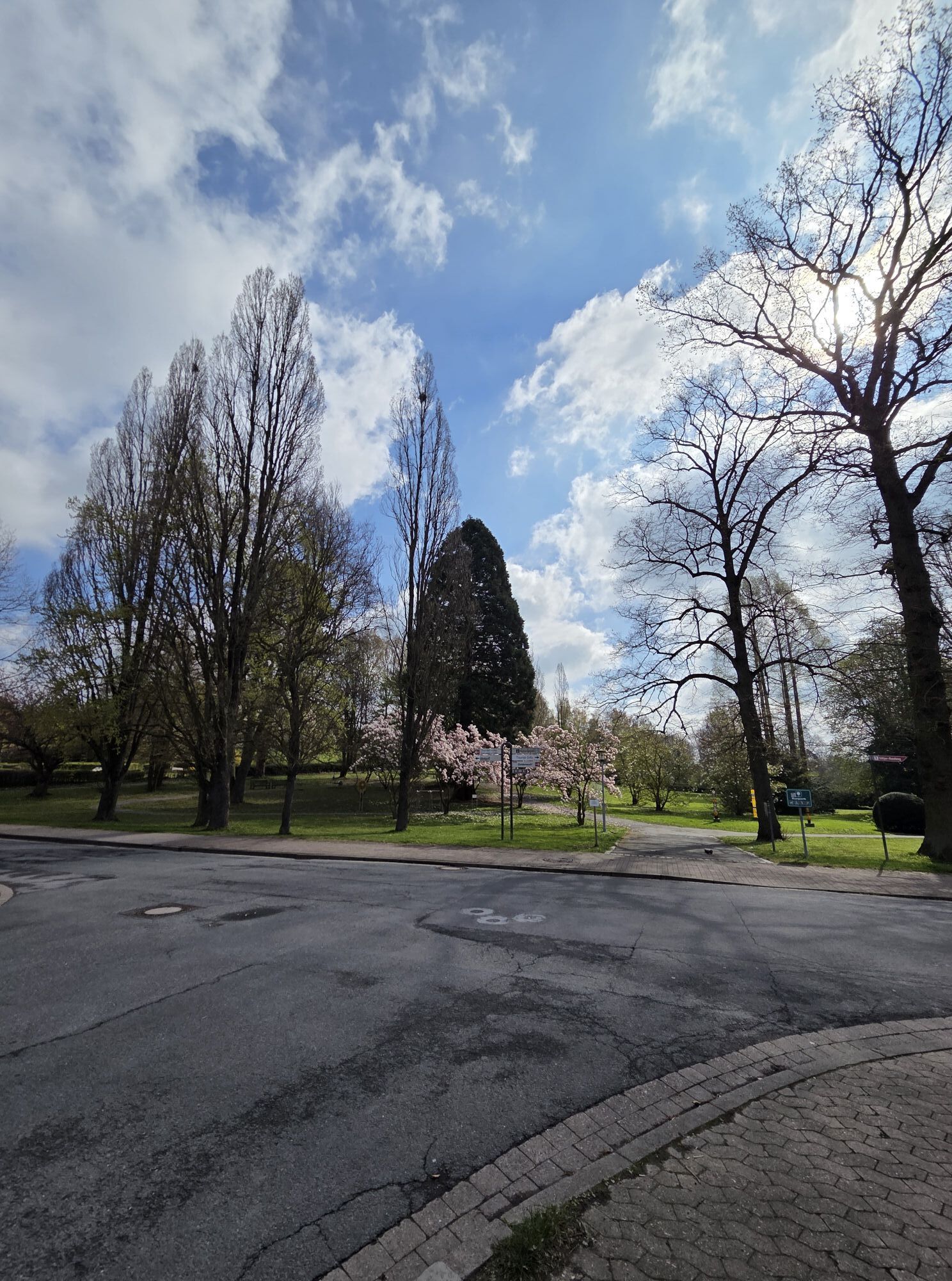
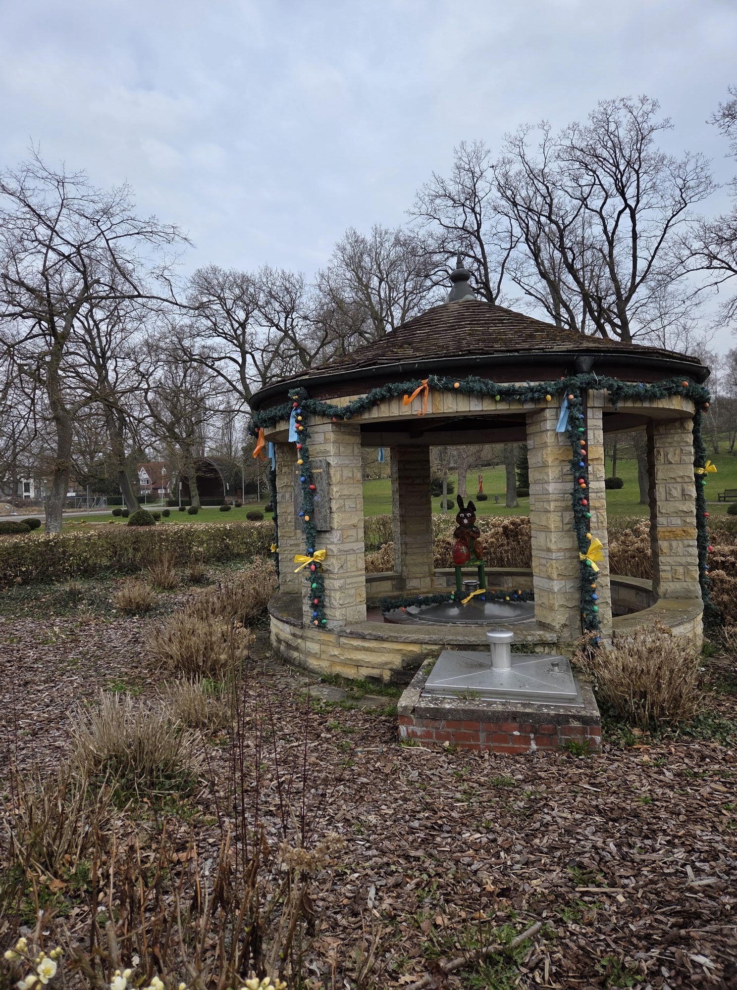
Au cours de cette visite guidée, vous suivez les traces du Söltjer (fabricant de sel) et découvrez de nombreuses choses intéressantes sur le développement historique et géologique de Bad Münder, en particulier...
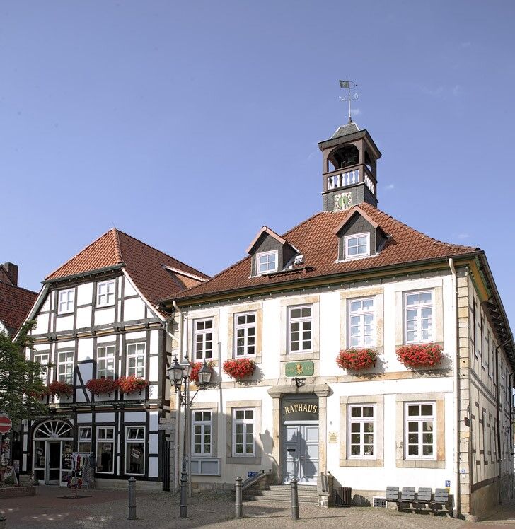
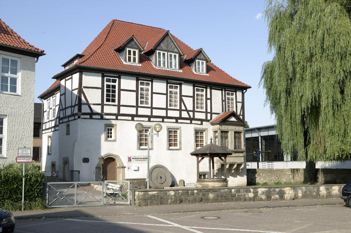
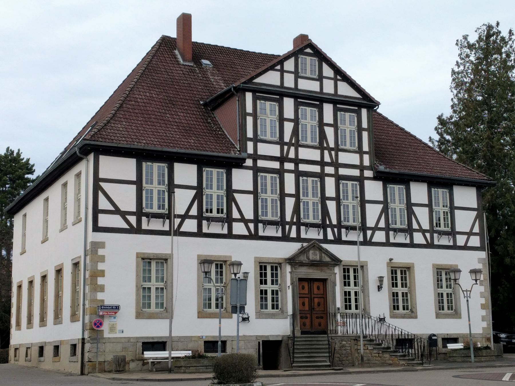
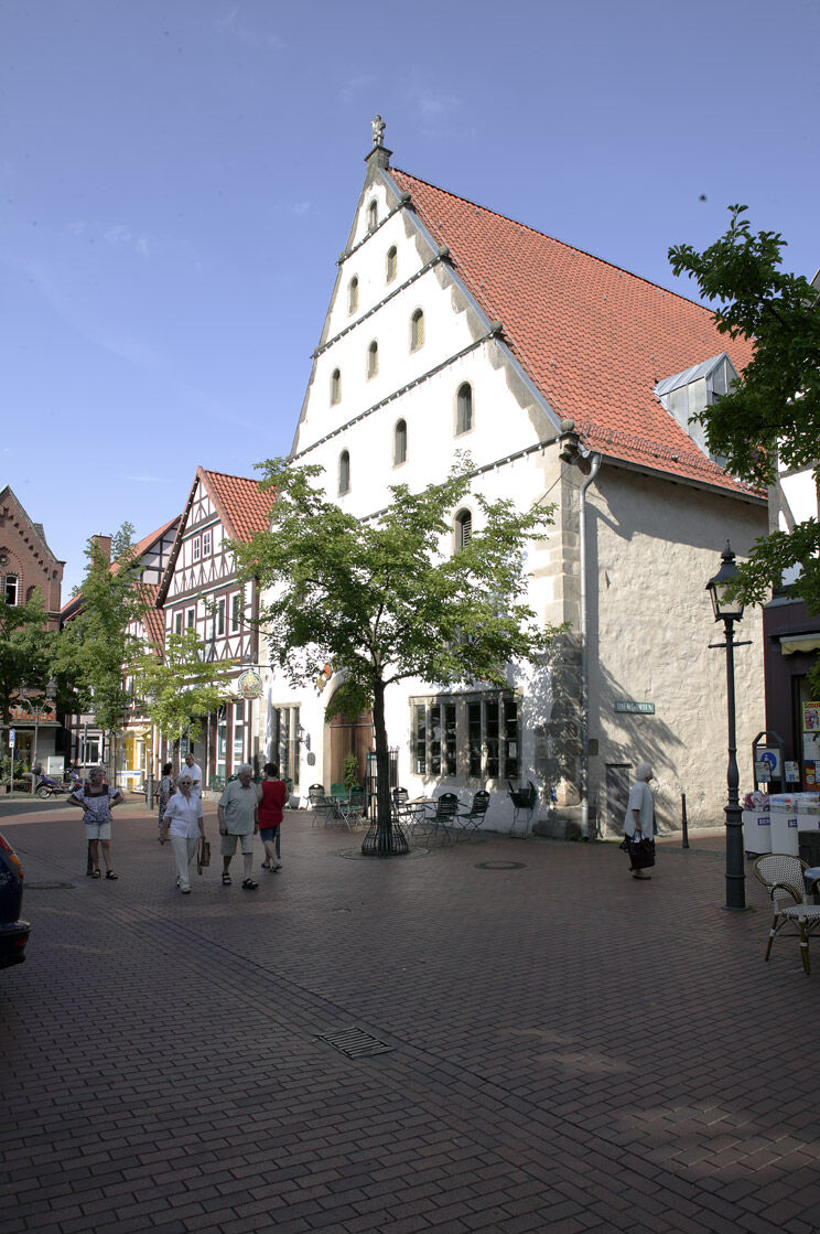
Au cours de cette visite guidée, vous suivez les traces du Söltjer (fabricant de sel) et découvrez de nombreuses choses intéressantes sur le développement historique et géologique de Bad Münder, en particulier sur la formation du sel et l'extraction historique du sel. Visitez lors de cette visite historique des fontaines remarquables, des bâtiments historiques et des places, et profitez de l'atmosphère chargée d'histoire.


Parcours populaires à proximité
-
3,7
Süntel-Hamelspringe-Süntelturmrunde
facileRandonnée 9,42 km -
Bantorfer Höhe
facileRandonnée 6,51 km -
4,0
Bullerbach-Tour
moyenRandonnée 11,4 km -
4,5
Kreuzstein-Route
difficileRandonnée 7,44 km -
Naturpark-Wanderweg Götterpfad (CO 2) / 5,3 km
moyenRandonnée 5,33 km -
Naturpark-Wanderweg Weg der Sinne / 4,9 km
moyenRandonnée 4,92 km -
Walterbachtal im Deister, Eimbeckhauser Panoramaweg
facileRandonnée 12,5 km -
Naturpark-Wanderweg Dörper Hutewald-Runde (CO 5) / 8,9 km
moyenRandonnée 8,95 km -
Durch das liebliche Walterbachtal
moyenRandonnée 8,68 km -
Naturpark-Wanderweg Nordmannsturm (Ni 5) / 8,5 km
moyenRandonnée 7,34 km
Randonnée et suivi


Ne manquez pas les offres et l'inspiration pour vos prochaines vacances
Votre adresse électronique a été ajouté à la liste de diffusion.





