Leine-Heide Cycle Path
moyen
Télécharge cette visite sur ton portable
Leine-Heide Cycle Path
moyen
Faire du vélo
50,39
km
Scanner le code QR et commencer la navigation dans l'application bergfex


Randonnée & tracking





Leine-Heide Cycle Path
moyen
Distance
50,39
km
Durée
03:01
h
Ascension
101
m
Altitude
50 -
111
m
Téléchargement de la piste
Leine-Heide Cycle Path
moyen
Faire du vélo
50,39
km
The Leine-Heide cycle path stretches a total of 413 kilometers from Leinefeld in Thuringia to Hamburg. Around 55 kilometers of this route lead - from Freden to Sarstedt - along the Leine through the Hildesheim...
Description
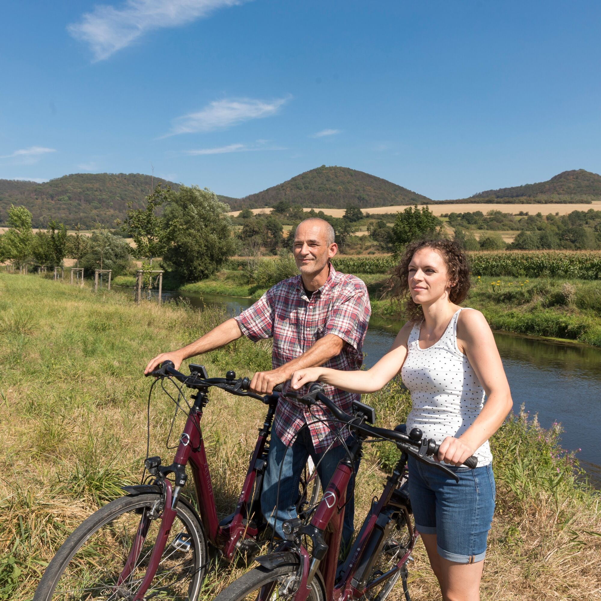
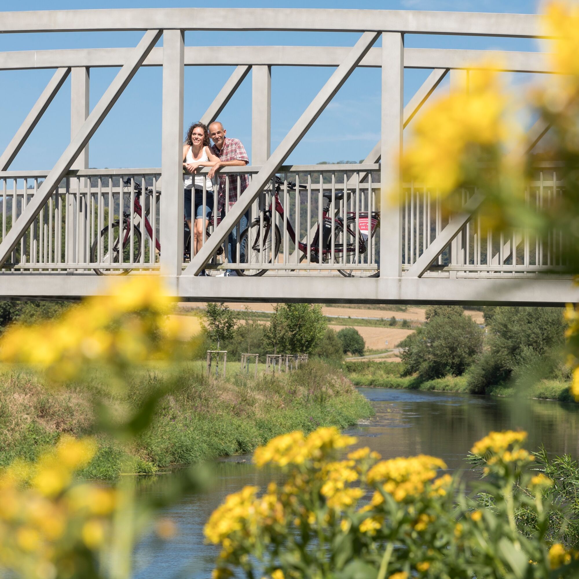
The Leine-Heide cycle path stretches a total of 413 kilometers from Leinefeld in Thuringia to Hamburg. Around 55 kilometers of this route lead - from Freden to Sarstedt - along the Leine through the Hildesheim vacation region. On this section of the route, you cross the Leinebergland and enjoy wonderful views of the Leine valley, the Sieben Berge and other striking heights, which you do not have to cross. Due to the predominantly flat terrain, this cycle route is also suitable for families.
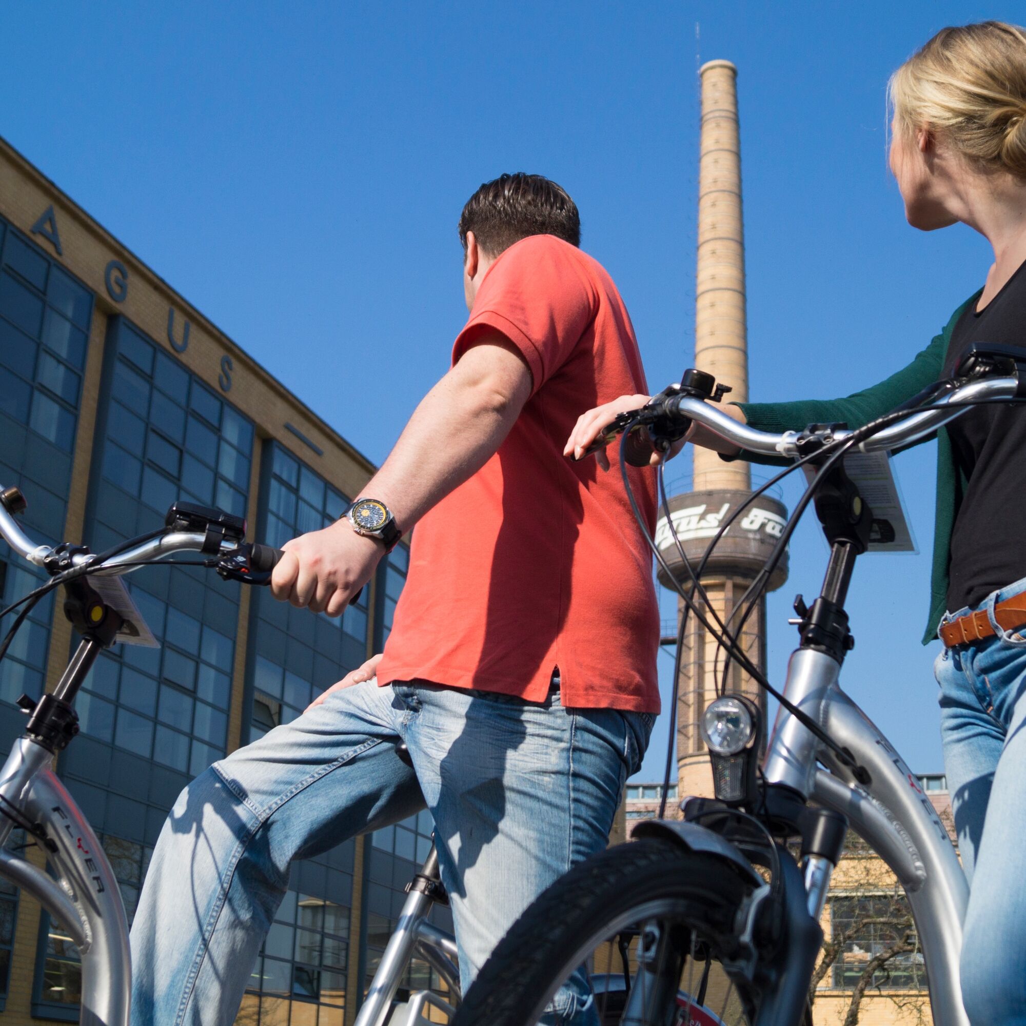
On the way, you will pass picturesque half-timbered towns and numerous smaller and larger sights. In Nordstemmen, for example, the impressive Marienburg Castle awaits you. From here, it is also worth making a detour to Hildesheim, 15 kilometers away, with its two UNESCO World Heritage churches, museums and historic market square. The stage ends in the state capital of Hanover.
Note: Between Gronau and Elze, the level crossing south of Elze will be closed from 07.04. to 28.04. due to construction work. A detour from the level crossing via the station to the town center is signposted.
On the way, you will pass picturesque half-timbered towns and numerous smaller and larger sights. In Nordstemmen, for example, the impressive Marienburg Castle awaits you. From here, it is also worth making a detour to Hildesheim, 15 kilometers away, with its two UNESCO World Heritage churches, museums and historic market square. The stage ends in the state capital of Hanover.
Note: Between Gronau and Elze, the level crossing south of Elze will be closed from 07.04. to 28.04. due to construction work. A detour from the level crossing via the station to the town center is signposted.
Parcours
Limmer
(100 m)
Village
2,5 km
Peter-und-Paul-Kirche
(90 m)
Lieu de culte
17,7 km
Elze
(79 m)
Ville
17,7 km
Pattensen
(70 m)
Ville
35,1 km
Wehrkapelle Arnum
(60 m)
Lieu de culte
40,3 km
Klosterkirche Sankt Monika
(58 m)
Lieu de culte
44,9 km
Michaeliskirche
(56 m)
Lieu de culte
46,0 km
Parcours
Leine-Heide Cycle Path
moyen
Faire du vélo
50,39
km
Alfeld (Leine)
(92 m)
Gare ferroviaire
0,0 km
Limmer
(100 m)
Village
2,5 km
Godenau
(89 m)
Village
3,2 km
Zum Alten Bahnhof
(89 m)
Restaurant
3,9 km
Dehnsen
(99 m)
Village
5,4 km
Banteln
(93 m)
Gare ferroviaire
10,9 km
Banteln
(92 m)
Village
11,2 km
Peter-und-Paul-Kirche
(90 m)
Lieu de culte
17,7 km
Elze
(79 m)
Ville
17,7 km
Wülfingen
(79 m)
Village
21,7 km
Thiedenwiese
(83 m)
Lotissement
29,2 km
Athos
(81 m)
Restaurant
29,5 km
Pattensen
(70 m)
Ville
35,1 km
Bacchus
(65 m)
Restaurant
40,0 km
Arnum
(62 m)
Quartier
40,3 km
Wehrkapelle Arnum
(60 m)
Lieu de culte
40,3 km
Hemmingen
(55 m)
Ville
42,5 km
Hemmingen-Westerfeld
(56 m)
Village
43,2 km
Bacchus II
(58 m)
Restaurant
43,2 km
Klosterkirche Sankt Monika
(58 m)
Lieu de culte
44,9 km
Ricklingen
(58 m)
Quartier
45,1 km
Michaeliskirche
(56 m)
Lieu de culte
46,0 km
Hanovre
(56 m)
Ville
48,9 km
Mitte
(49 m)
Quartier
49,9 km
Auteur
Fourni par Weserbergland Tourismus e.V.
La visite Leine-Heide Cycle Path est fournie par outdooractive.com.


Informations sur l'itinéraire
Itinéraire
Das rund 30 Kilometer entfernt liegende Alfeld erreichen Sie mit dem Auto aus Hildesheim über die B1, L460, L480 und L485.
Mit dem Zug erreichen Sie Alfeld mit der NordWestBahn, eine Fahrradmitnahme ist möglich.
Mit dem Zug erreichen Sie Alfeld mit der NordWestBahn, eine Fahrradmitnahme ist möglich.
Parking
Hinter dem Bahnhof in Alfeld befindet sich ein Parkplatz.
Infos complémentaires & conseils
Informations supplémentaires
Pas encore d'évaluation
Obtenez un aperçu
Toujours en direct avec plus de 9.500 webcams. En tant qu'utilisateur Pro, vous pouvez désormais voir les webcams correspondantes à de nombreuses randonnées dans l'application de randonnées de bergfex. Vous pouvez ainsi voir directement les conditions actuelles.
Parcours populaires à proximité
-
Hi-Ring
moyenFaire du vélo 43,7 km -
Naturpark-Wanderweg Dörper Hutewald-Runde (CO 5) / 8,9 km
moyenRandonnée 8,95 km -
Megamarsch Hannover 2023
moyenRandonnée 50,4 km -
Rosenroute
Balade 5,26 km -
Leine-Heide-Radweg
moyenFaire du vélo 50,4 km -
Bergmannsweg
moyenRandonnée 22,6 km -
Stadtpilgerweg
Balade 3,19 km -
Alter Bahndamm Fahrradtour
Faire du vélo 25,1 km -
Laufstrecke Hohnsensee
Marche nordique 4,15 km -
Bergmannsweg
difficileMoto 21,8 km
Randonnée et suivi

Plus de 550.000 propositions de circuits, des cartes détaillées et un planificateur d'itinéraire intuitif font de cette application un must pour tous les passionnés de nature.

Ne manquez pas les offres et l'inspiration pour vos prochaines vacances
S'inscrire à la newsletter
Erreur
Une erreur s'est produite. Veuillez réessayer.
Merci pour votre inscription
Votre adresse électronique a été ajouté à la liste de diffusion.
Parcours en Europe
Autriche
Suisse
Allemagne
Italie
Slovénie
France
Pays-Bas
Belgique
Pologne
Liechtenstein
République tchèque
Slovaquie
Espagne
Croatie
Bosnie-Herzégovine
Luxembourg
Andorre
Portugal
Islande
Royaume-Uni
Irlande
Grèce
Albanie
Macédoine du Nord
Malte
Norvège
Monténégro
Moldavie
Kosovo
Hongrie
Saint-Marin
Roumanie
Estonie
Lettonie
Bélarus
Chypre
Lituanie
Serbie
Bulgarie
Monaco
Danemark
Suède
Finlande





