



Weitwanderweg Kremstal-Donau im Winter 15: Senftenberg - Krems






This stage of the Krems Valley-Danube Long-Distance Hiking Trail is characterized by picturesque natural scenery, impressive castle ruins, and, toward the end, an urban atmosphere—promising a wealth of...
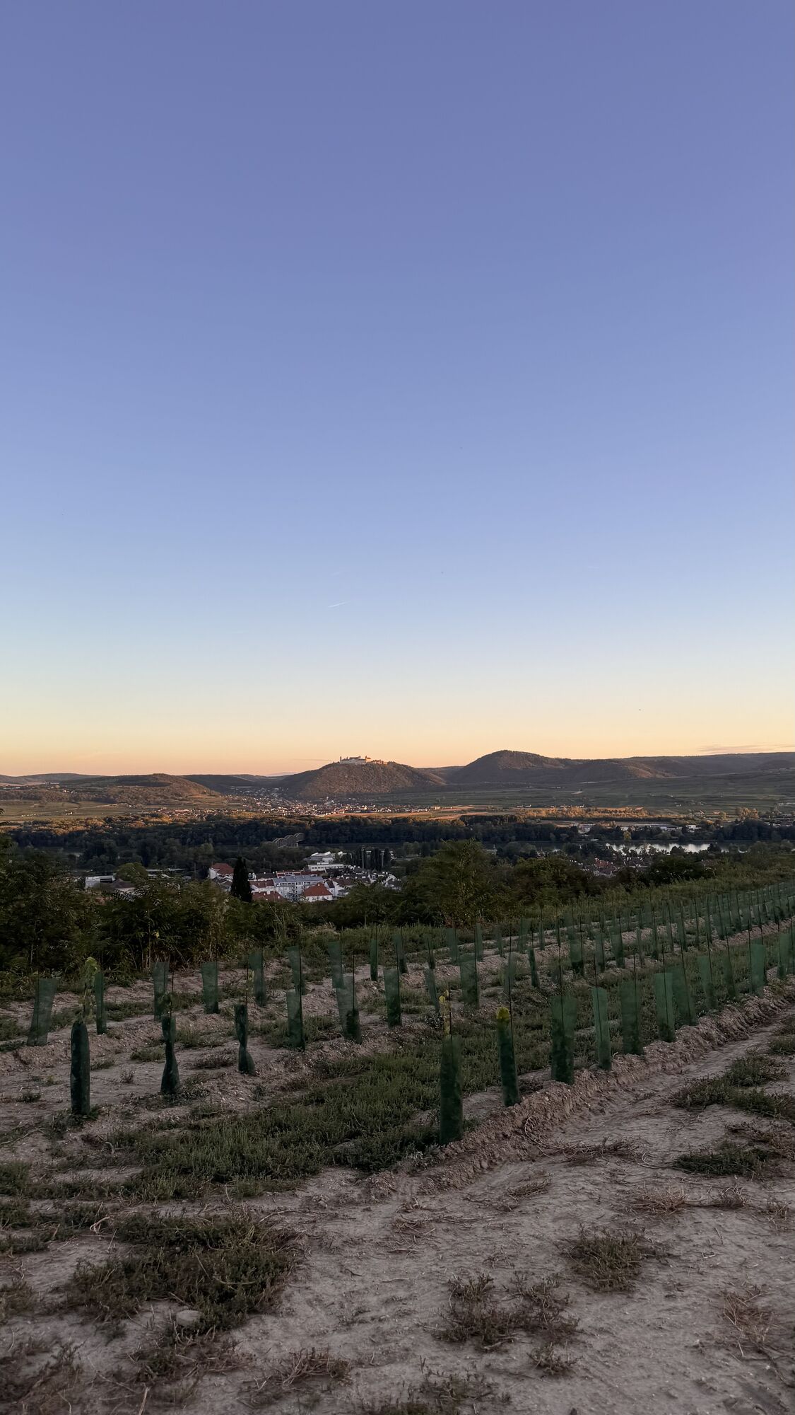
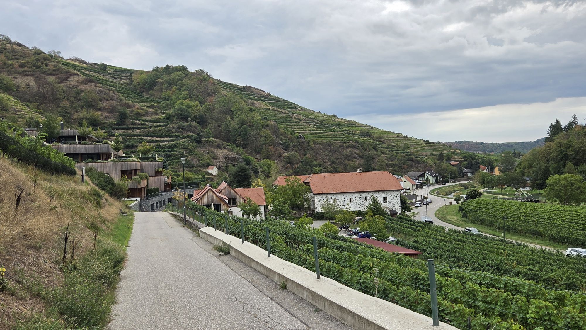
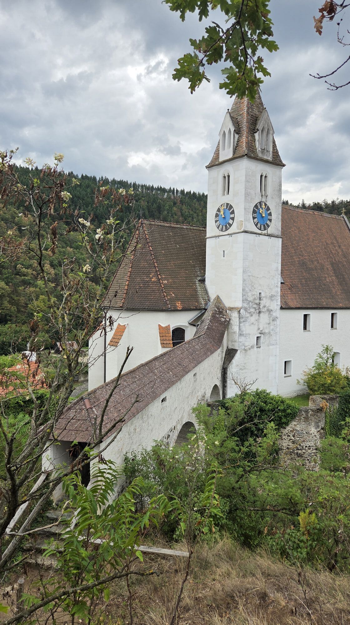
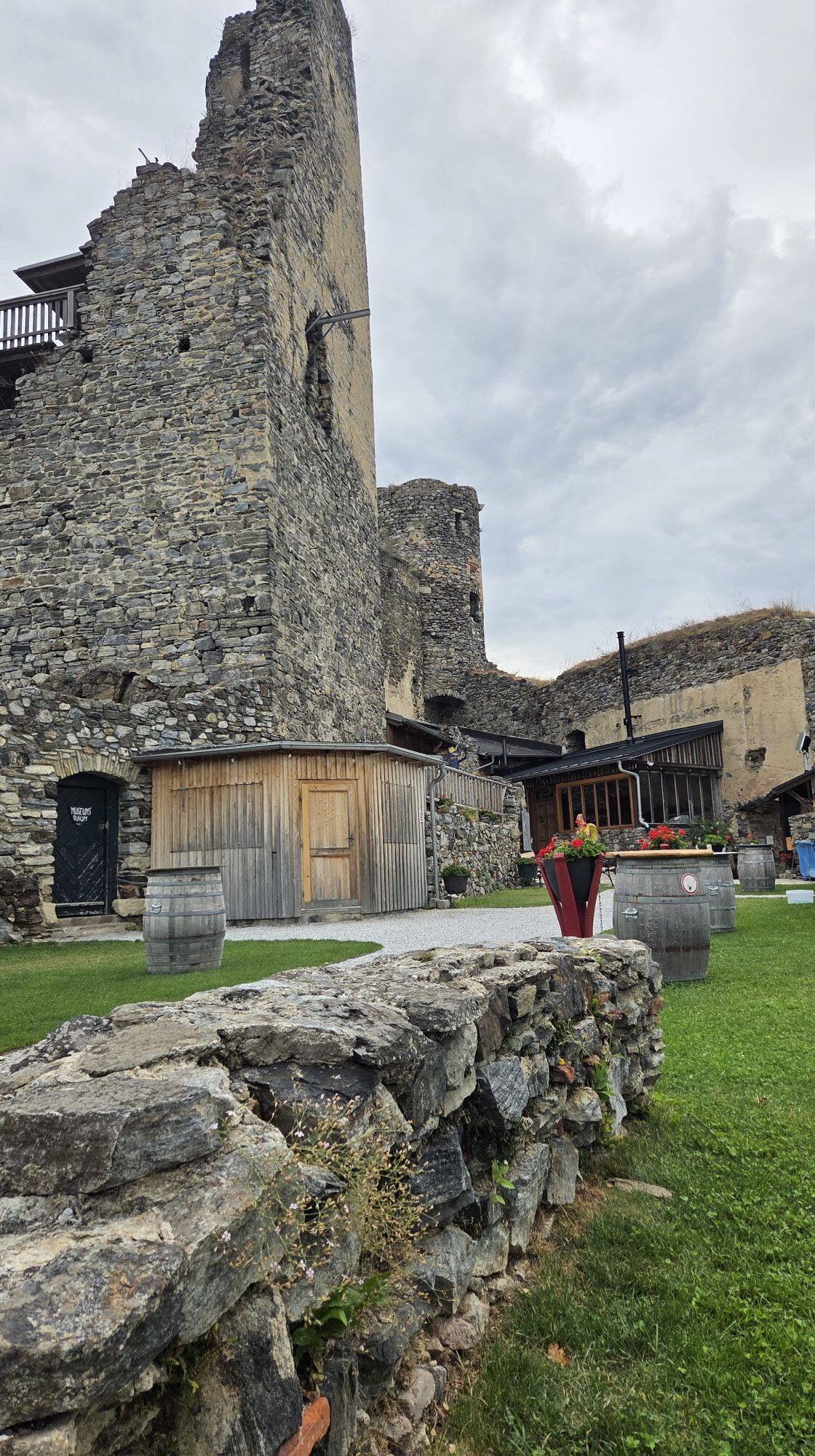
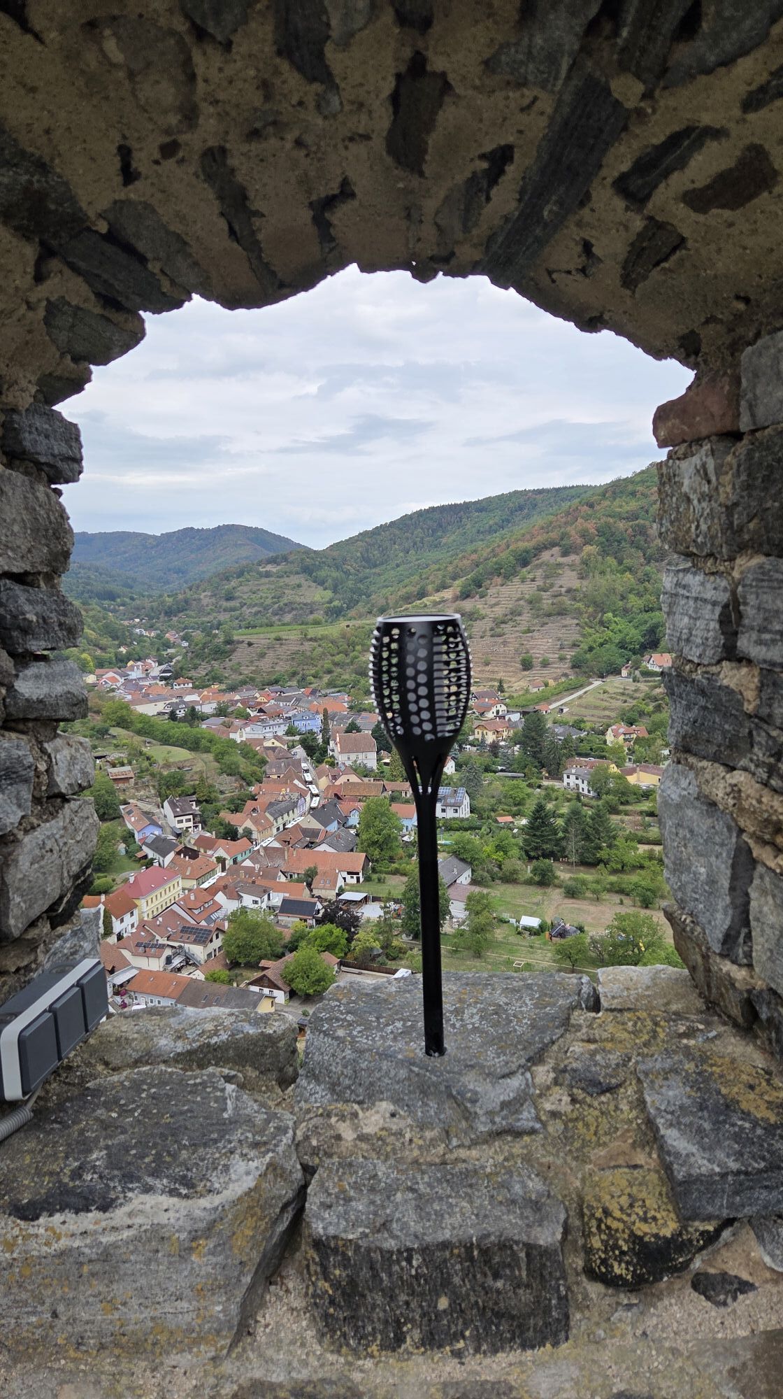
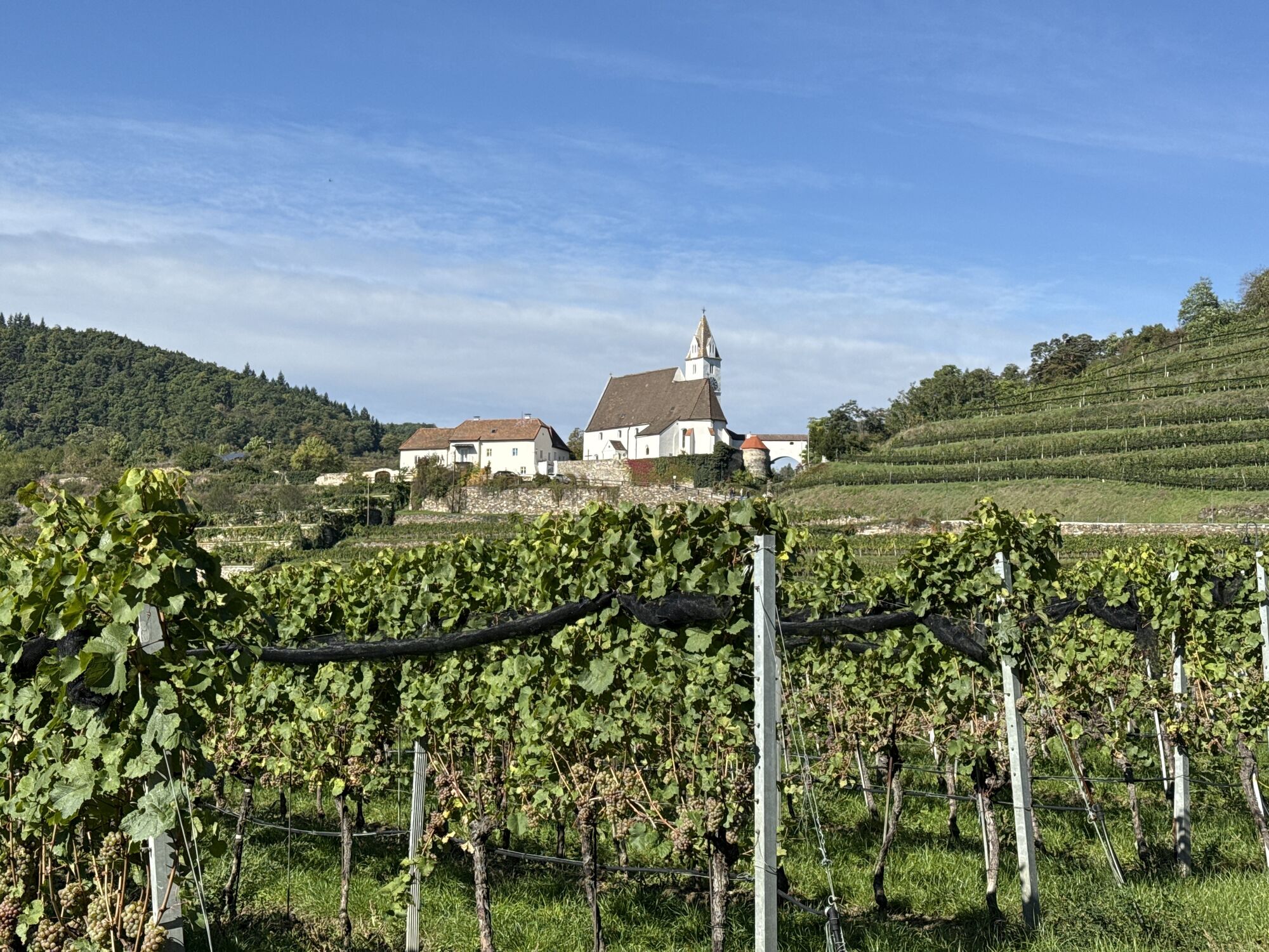
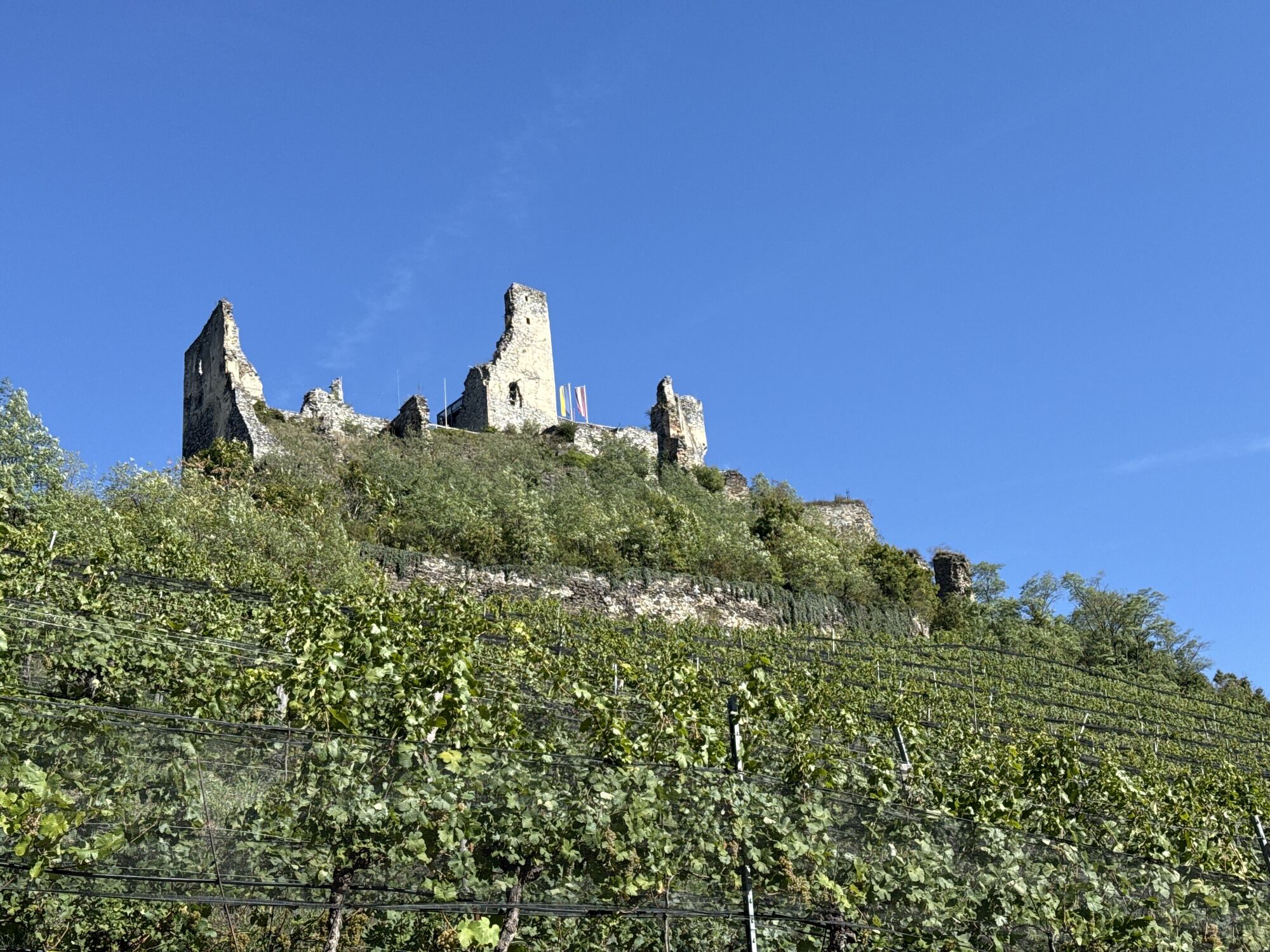
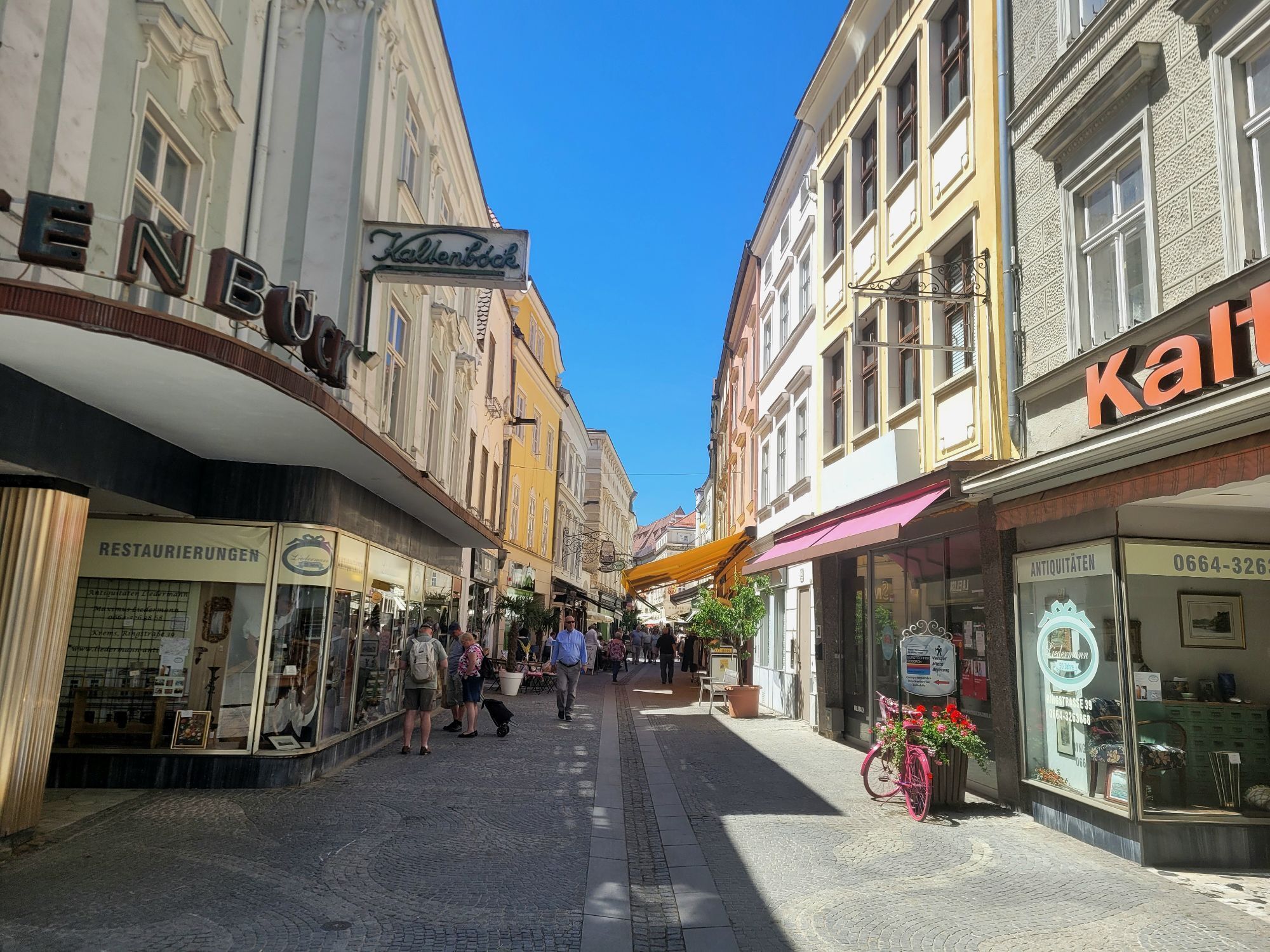
This stage of the Krems Valley-Danube Long-Distance Hiking Trail is characterized by picturesque natural scenery, impressive castle ruins, and, toward the end, an urban atmosphere—promising a wealth of variety. The starting point is the wine town of Senftenberg, whose castle ruins are already worth a detour—the magnificent view over the wintry Krems Valley is proof enough of that. The hike continues through tranquil forests and steep vineyard terraces, passing through Imbach with its magnificent Gothic parish church, to another eye-catching sight: the Rehberg ruins. Over the Kuhberg and past the Schwarzalm inn, the trail finally leads to Krems, the tour’s destination. There, the cultural offerings invite you to linger: the Kunstmeile Krems, the Winzer Krems Wine Experience, and the Landesgalerie Niederösterreich guarantee true cultural delights. For those who prefer culinary delights, however, the city’s numerous restaurants offer the perfect opportunity to round off the hike in a leisurely manner.
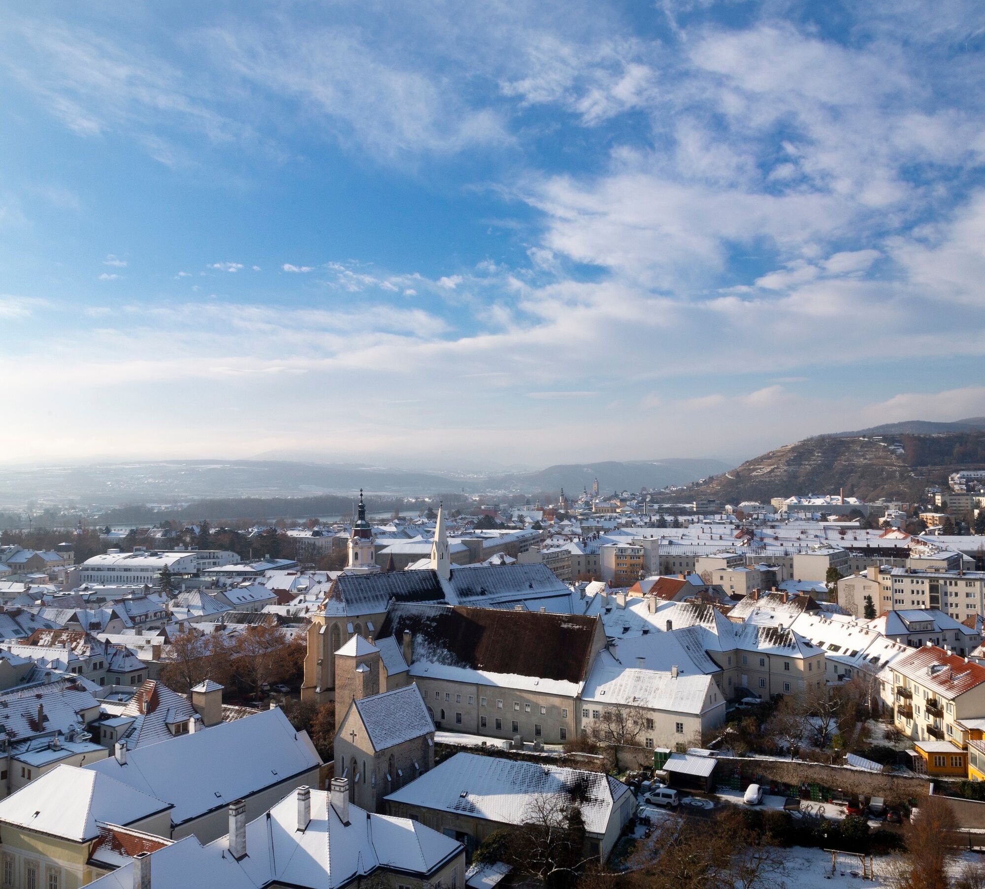

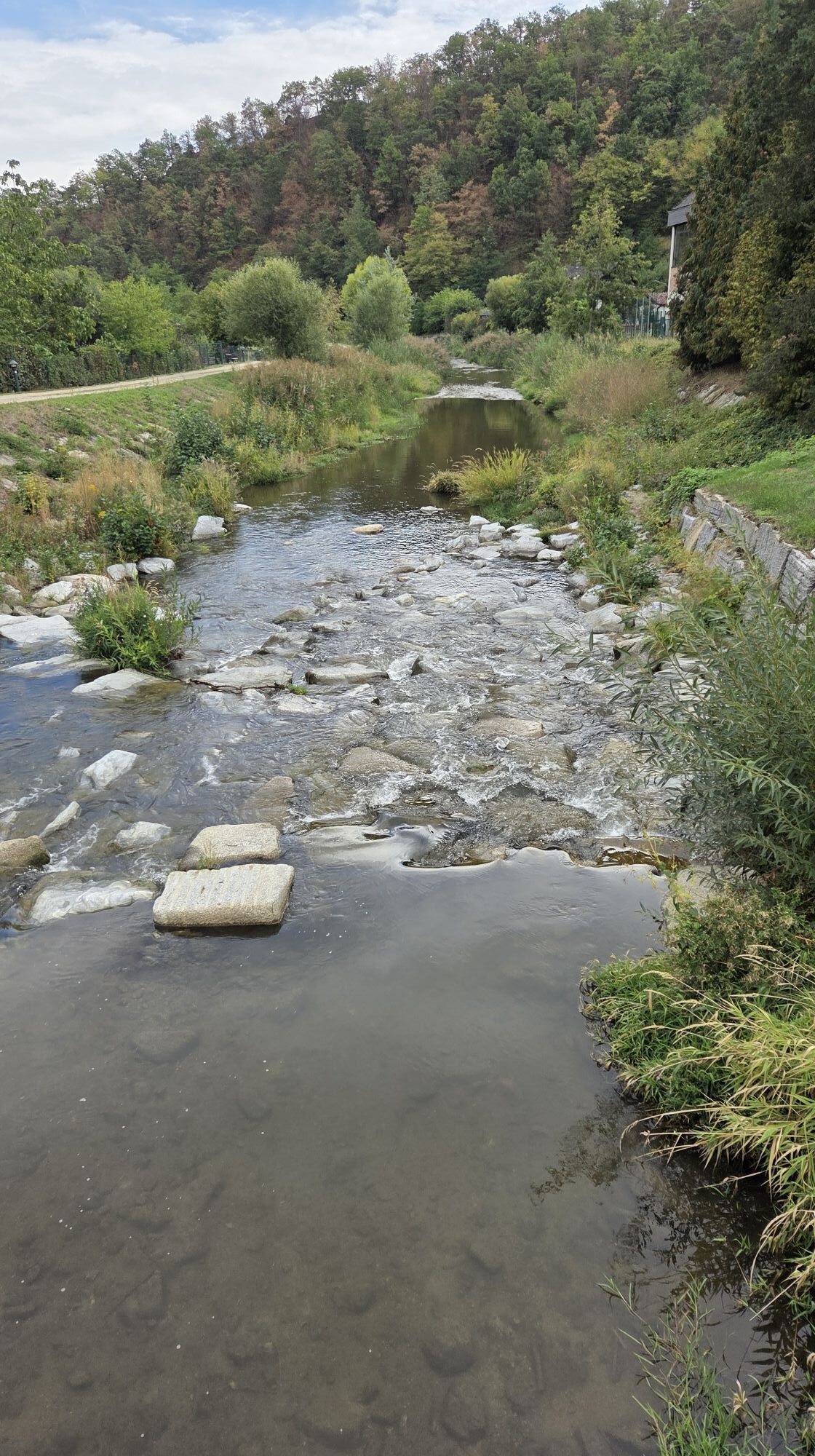
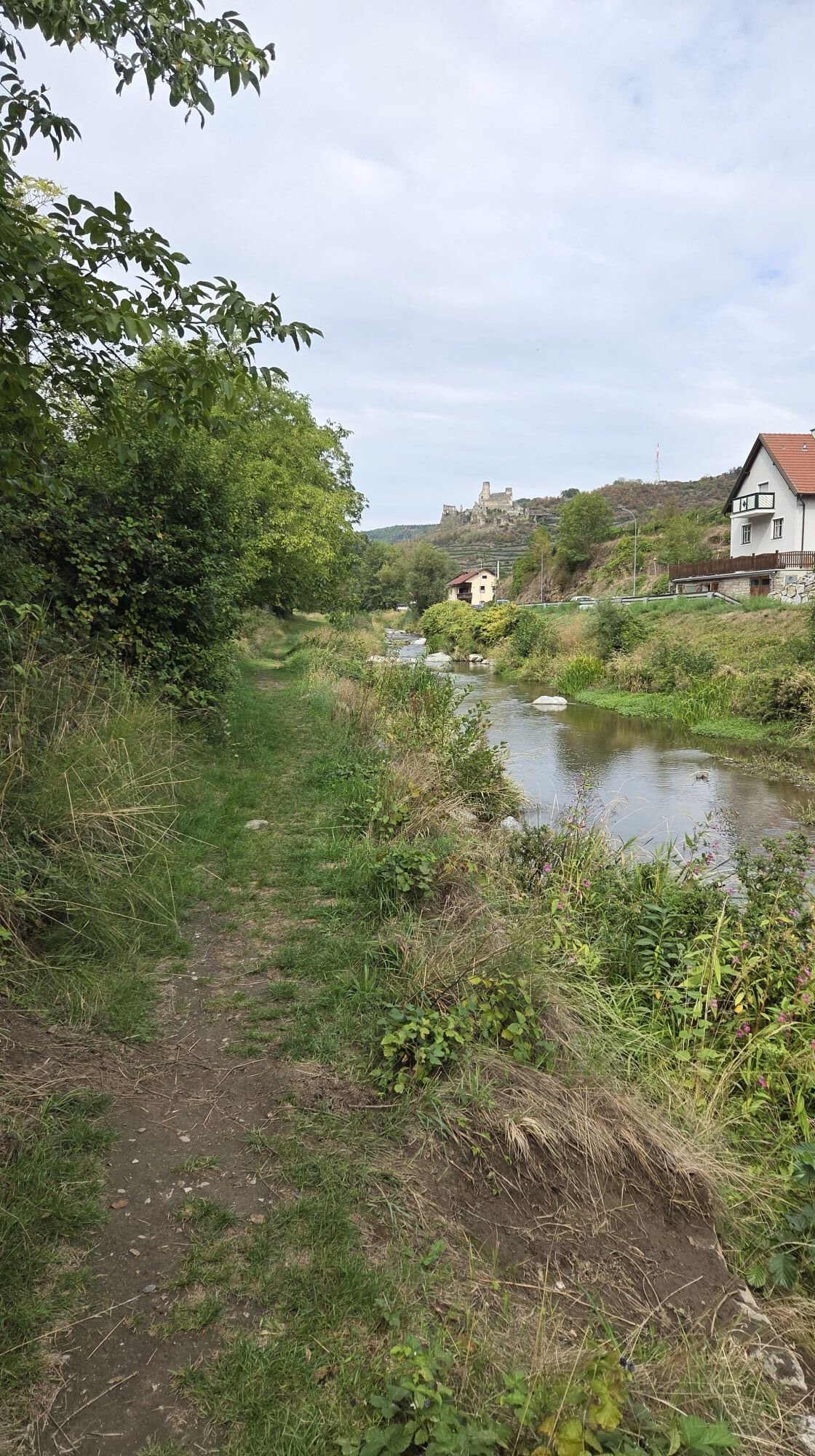
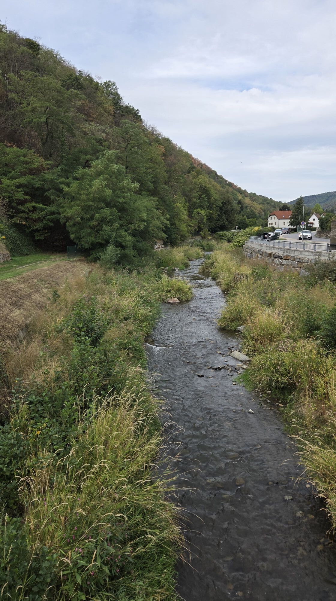
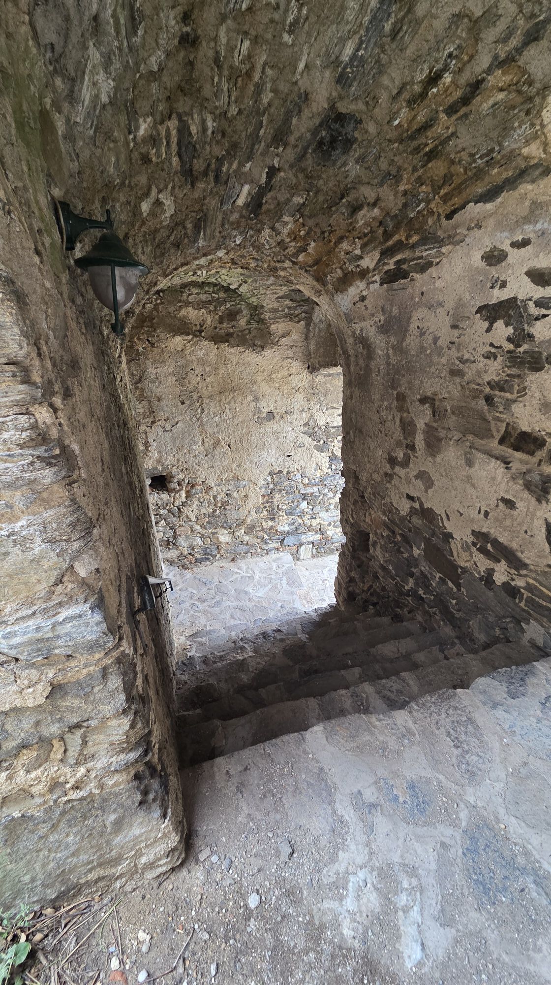
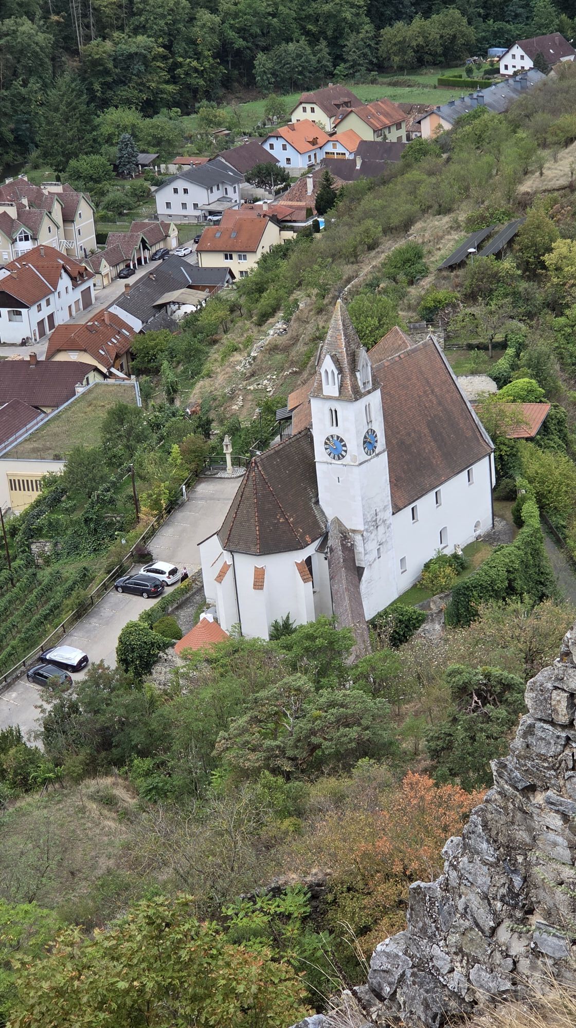
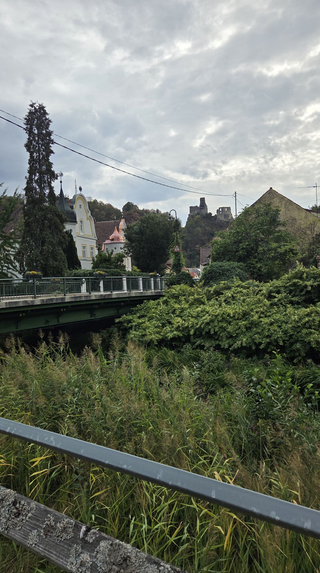
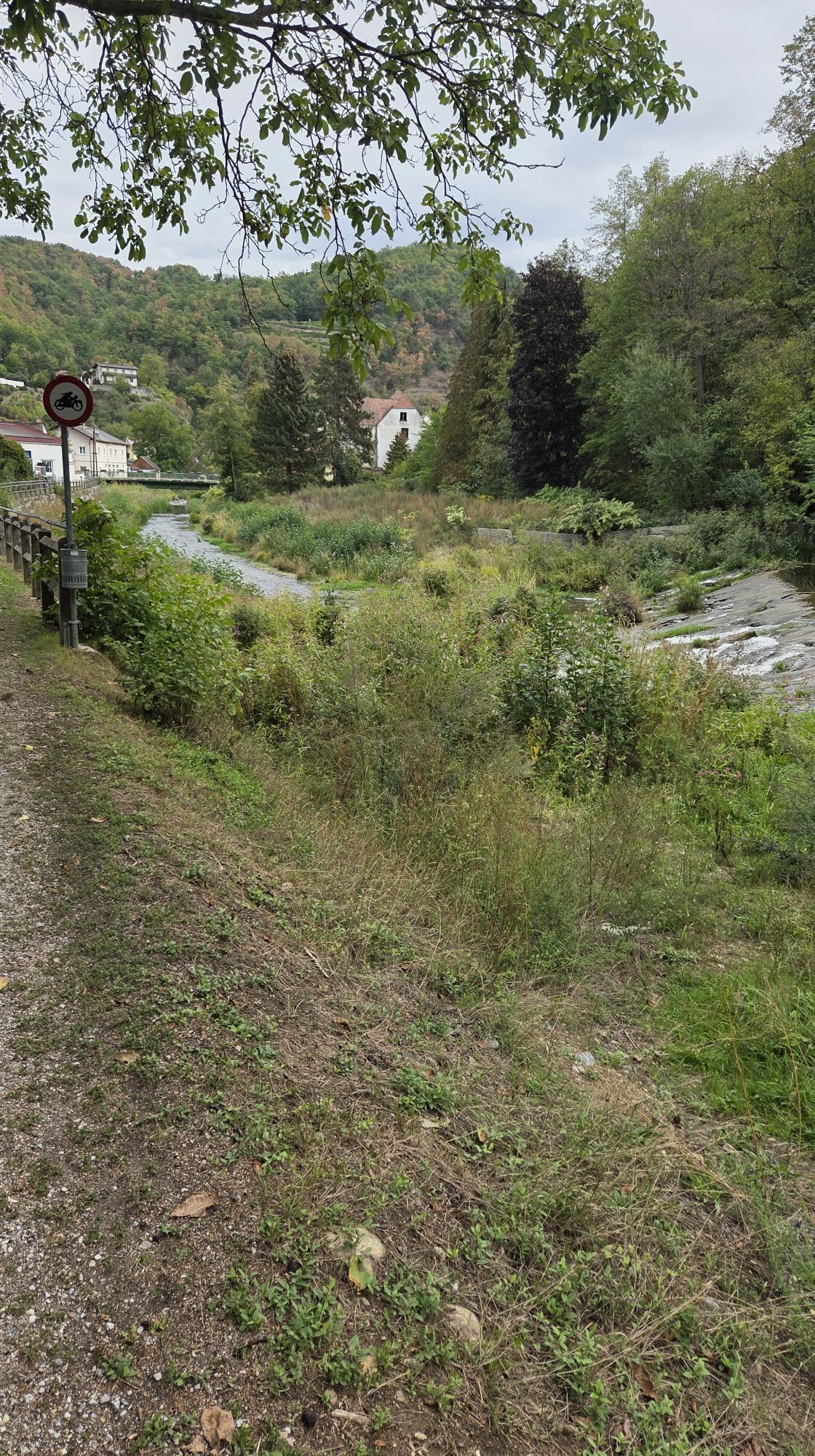
The trail leads through the Upper and Lower Market squares to Schulgasse, where it branches off to the left and climbs up to the Senftenberg parish church. Once you reach the top, it’s worth taking a ten-minute detour to the impressive Senftenberg ruins, which offer a magnificent view. The trail then heads back downhill, passing above the well-known Ried Ehrenfels and by the Nigl Winery. After crossing the main road and the Krems River via a footbridge, the route leads through the Hofstatt district to Imbach. The parish church, located just a five-minute walk off the trail, is well worth a visit. The route continues along a quiet footpath on the right bank of the river to Krems-Rehberg. There, the path turns right, passing below the Rehberg ruins and by the church, then crosses the Partschen vineyard to reach the Alauner Landesstraße. The path follows this road southeast through the Kühberg and Spiegel vineyards. Passing the Schwarzalm inn, which offers a magnificent view of the Danube, the route continues through the Armesündergraben and the Wachtberg vineyard down to the stage’s destination at the Hoher Markt in Krems.
Wear the right footwear (waterproof, good support, sturdy tread)
Layered clothing is recommended
Stay warm from the inside (consider bringing tea in a thermos)
Bring a hiking map and a cell phone
Bring enough drinking water with you
Don’t forget sunscreen, even in winter
Don’t leave your trash behind on the trail
Respect the sensitive habitats of plants and wildlife
Krems and Senftenberg are connected by public bus routes. www.vor.at

Parcours populaires à proximité
- 4,4
Welterbesteig Wachau 02: Dürnstein-Weißenkirchen
facileChemin de Grande Randonnée 15,9 km - 4,5
Welterbesteig Wachau 03: Weißenkirchen-Spitz
facileChemin de Grande Randonnée 10,4 km - 4,7
Welterbesteig Wachau 01: Krems-Dürnstein
facileChemin de Grande Randonnée 12,3 km - 4,8
Vogelbergsteig -Kanzel- Fesselhütte - Ruine Dürnstein zum Heurigen in Furth
moyenRandonnée 7,59 km - 4,7
Wachau: Seekopf - Hirschwand
moyenRandonnée 10,4 km - 4,7
Rundhöhenwanderweg Weißenkirchen in der Wachau - Schildhütten - Cholerakreuz - Weißenkirchen
facileRandonnée 8,70 km - 4,6
Krems (Welterbesteig) - Dürnstein - Vogelbergsteig - Kanzel - Fesslhütte - Krems
moyenRandonnée 18,0 km - 4,6
Maria Langegg - Rote Wand - Hoher Stein - Kastlkreuz
moyenRandonnée 11,4 km - 4,6
Panoramaweg Weissenkirchen
facileRandonnée 5,04 km - 4,8
Wachau: Panoramaweg Rossatz
facileRandonnée 10,8 km
Randonnée et suivi


Ne manquez pas les offres et l'inspiration pour vos prochaines vacances
Votre adresse électronique a été ajouté à la liste de diffusion.


