



From Semmering railway station to the top of the Semmering Pass

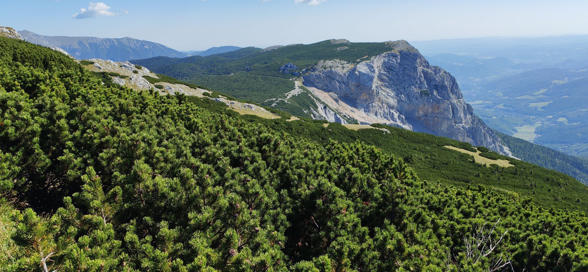
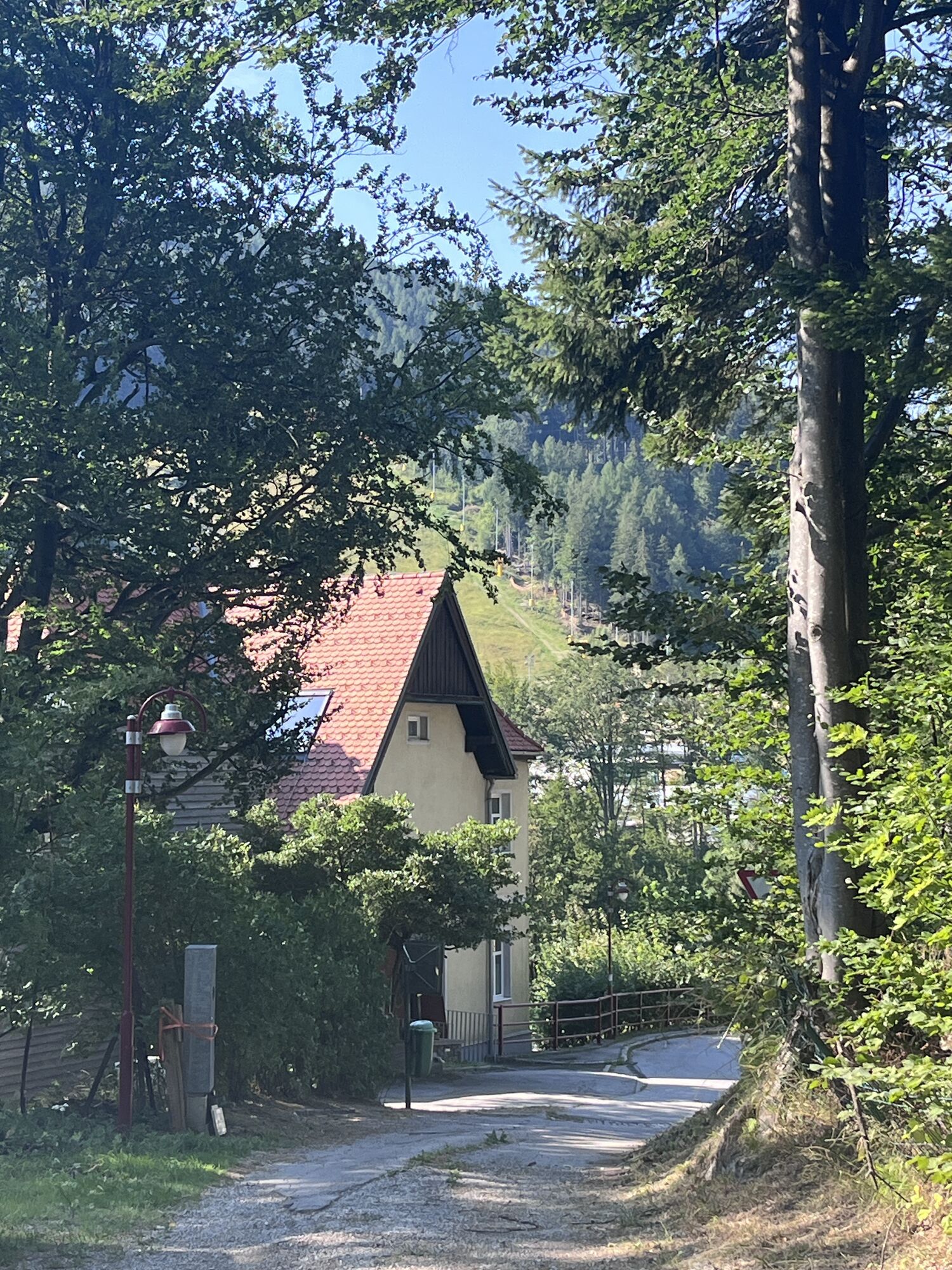

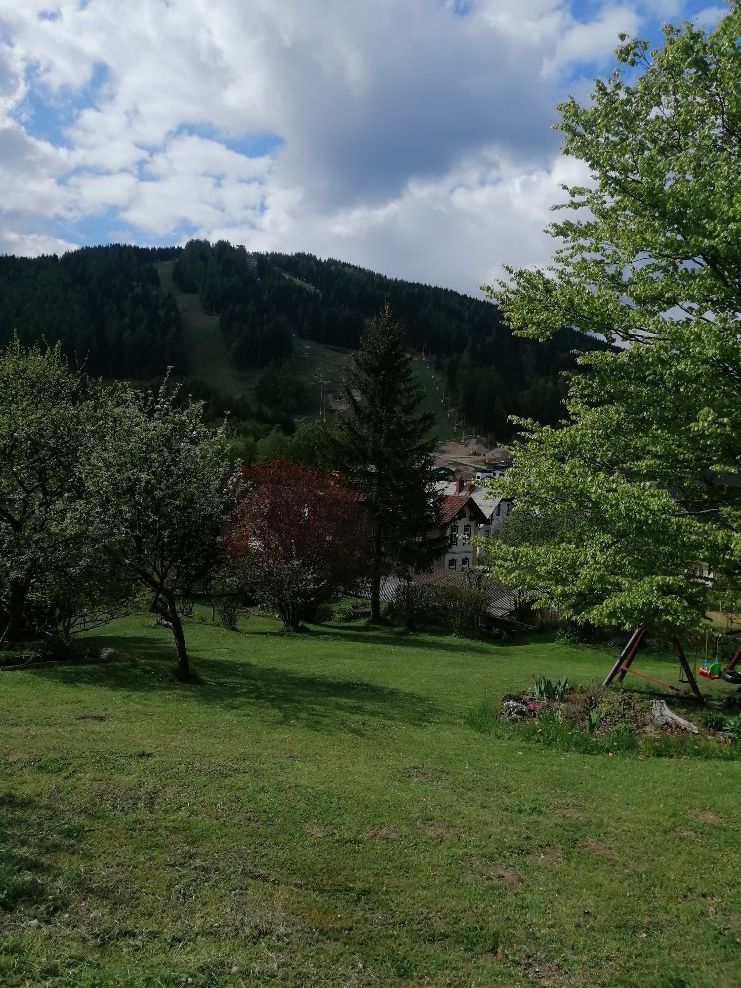




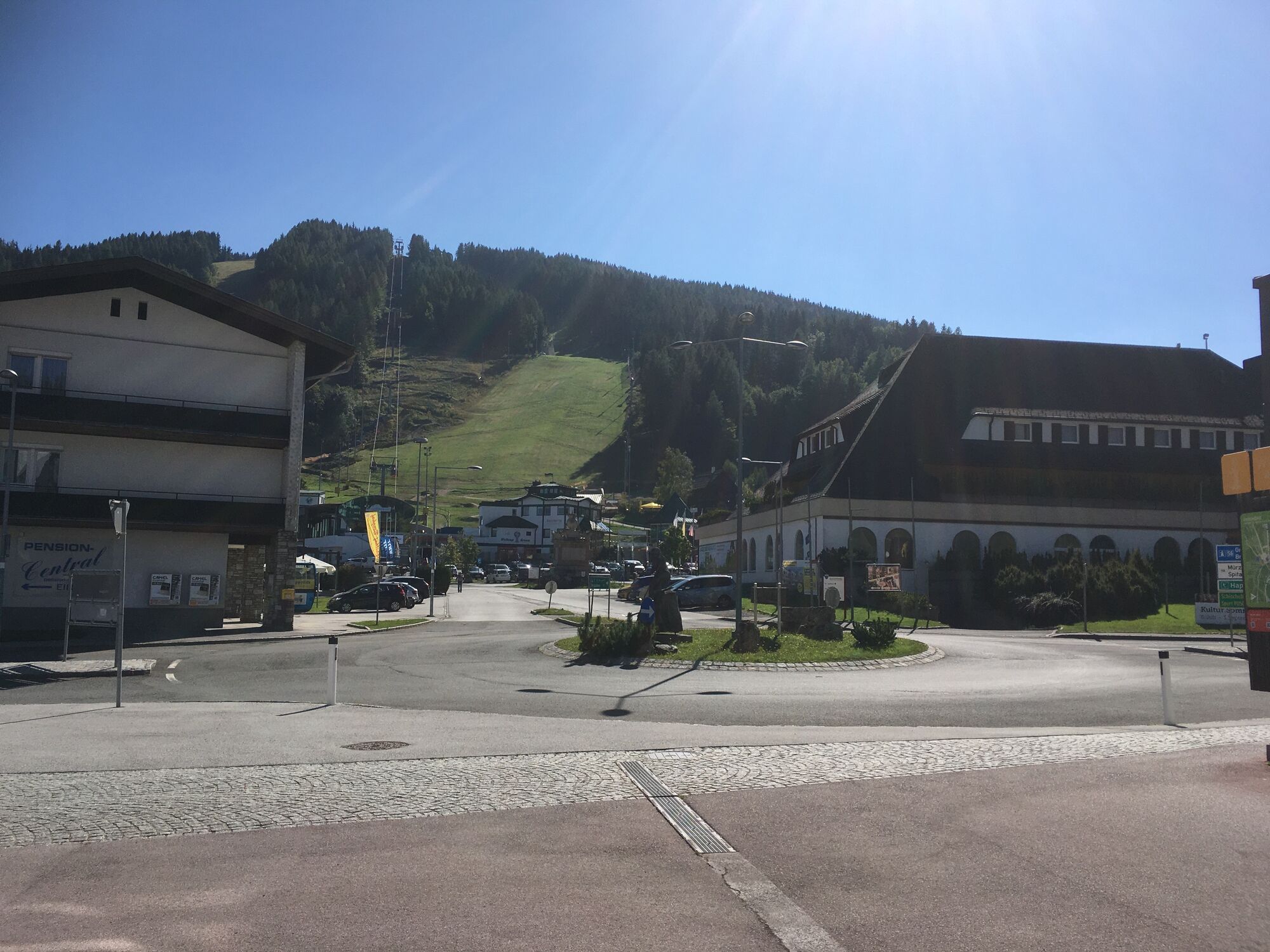
<p>This tour takes you to the hiking starting point “Passhöhe”, where many hikes begin. </p>



Der Weg beginnt an der Steinmauer und führt zunächst in Zick-Zack-Linien bergauf zur Südbahnstraße. Nach dem Überqueren der Südbahnstraße verläuft die Route weiter bergauf über den Bündsdorfweg. Die Beschilderung in Richtung Passhöhe bietet dabei Orientierung. Der letzte Abschnitt führt entlang der Hochstraße, vorbei am Hotel Belvedere, bis zur Passhöhe.
<p>Always take maps with you. Wear sturdy shoes suitable for the tour, take sun and rain protection with you as well as water and a snack. Take your mobile phone with you and save the emergency number for mountain rescue: 140</p>
<p>Your hikes in the Viennese Alps should be an all-round beautiful and safe experience.
</p><p>Therefore, please note:</p><p>When choosing a route, make sure it is suitable for your mountain experience and fitness level. Check the weather forecast in advance. The weather can change surprisingly quickly in the mountains. Therefore, always set off appropriately equipped (suitable footwear, rain protection). Check whether the huts and snack stations you want to visit along the way are open. Inform someone about the route and your planned return before you set off. Stay on marked paths and avoid abbreviations. Due to the drought, meadows and forests are easily flammable. Treat fire with respect and report a possible fire to the fire department immediately. (122) Do not throw garbage into the countryside and dispose of it properly.</p>
<p>If you arrive by car, drive directly to the hiking starting point at the top of the Semmering Pass. (Passhöhe Semmering)</p>
<p>Travel by train to Semmering railway station. This is also the starting point for this tour.
</p><p>More information at www.oebb.at and www.vor.at</p>
Verantwortlicher für den Inhalt dieser Tour
Wiener Alpen in Niederösterreich - Semmering Rax
Letzte Aktualisierung: 27.10.2025
Information center at Semmering railway station about the Semmering Railway

Parcours populaires à proximité
- 3,9
Schwaigen Rundwanderung
facileRandonnée 8,24 km - 4,6
Zahnradbahn und Wandern am Schneeberg - Plateauwanderung
moyenRandonnée 6,90 km - 4,7
Rax - Heukuppe
Randonnée 15,6 km - 3,7
St. Corona - Kampstein
moyenRandonnée 10,7 km - 4,7
Hochwechsel - Tour
Randonnée 18,5 km - 4,9
Insider tip: Schneeberg via the Novembergrat
difficileRandonnée 13,5 km - 4,9
RAX Runde
facileRandonnée 19,6 km - 4,9
Reißtalersteig und Gretchensteig
difficileRandonnée 8,10 km - 4,9
Rax
moyenRandonnée 6,70 km - 4,8
RAX Hinternaßwald Reißtalklamm Bärenlochsteig Habsburghaus Kaisersteig retour 01.08.2017
difficileRandonnée 15,6 km

Randonnée et suivi


Ne manquez pas les offres et l'inspiration pour vos prochaines vacances
Votre adresse électronique a été ajouté à la liste de diffusion.


