


Abandoned Danube river course trail


Cross the road and walk along the Danube heading east. After 15 minutes youll get to the memorial site erected in honour of those who lost their lives building the powerplant. Until this spot the path...
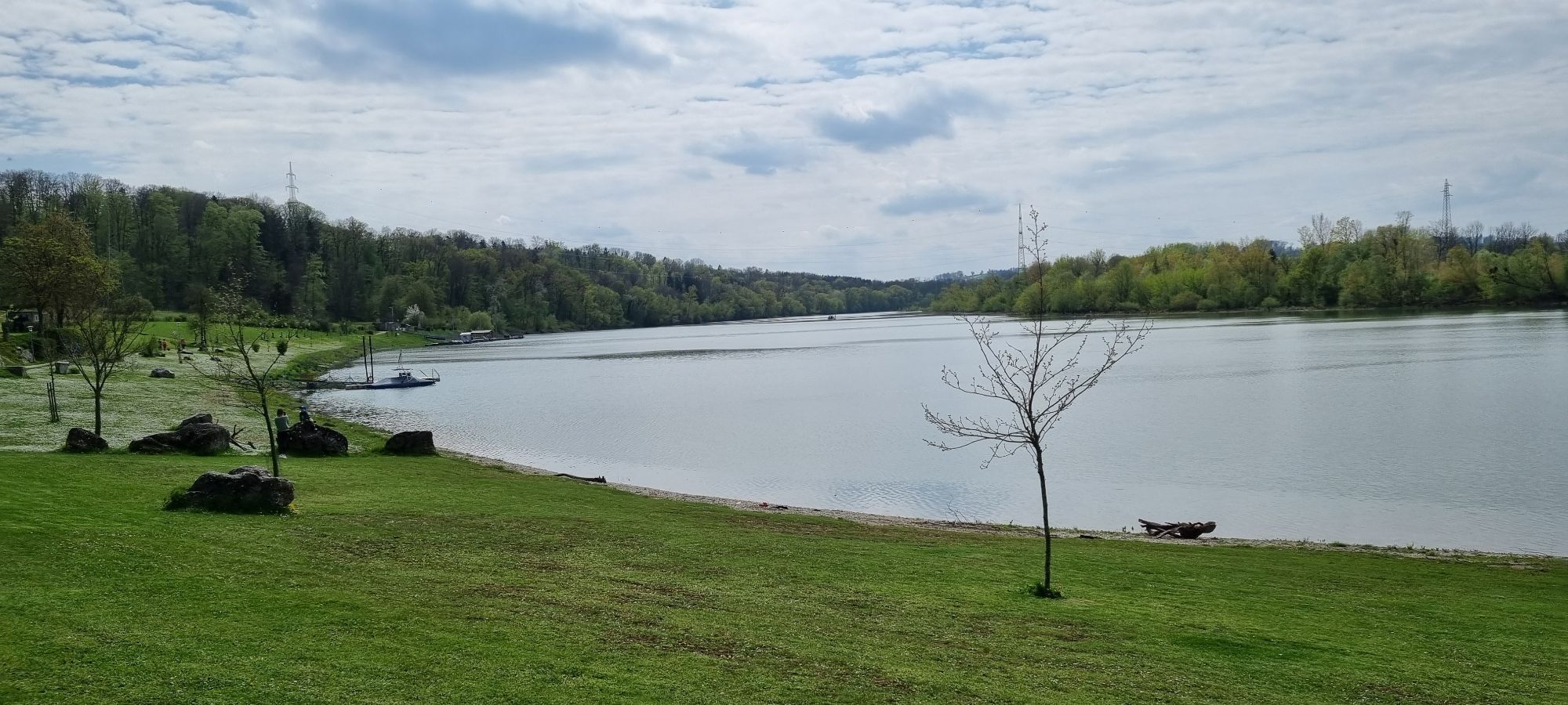
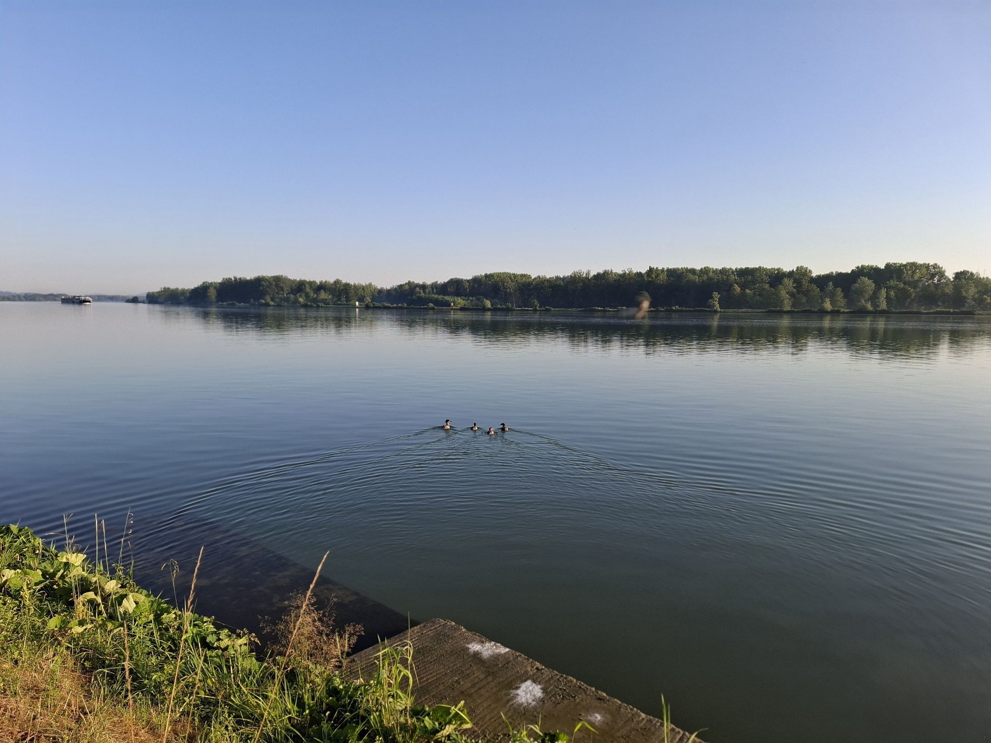
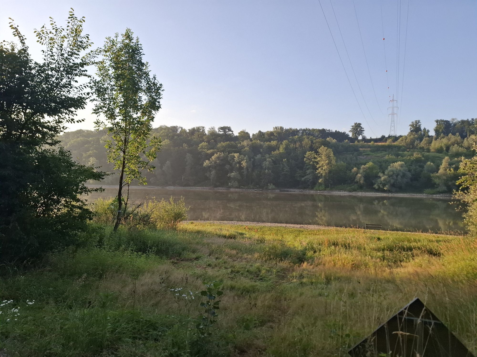
Cross the road and walk along the Danube heading east. After 15 minutes youll get to the memorial site erected in honour of those who lost their lives building the powerplant. Until this spot the path is sealed, except for a few metres paved with stones. Now continue along a sandy road along the abandoned Danube River course. On the right is the alluvial forest and on the left the banks of the old river course. After 10 minutes you`ll get to the bridge across the old river course. Now you have the option of climbing up the steps to the road. Climb over the barrier and continue walking along a meadow path, which is very suitable for joggers. After another 10 minutes you`ll get for a pond. After walking for a total of 60 minutes, the alluvial forest becomes sparser. Just before the open-air facility a gravel road branches off to the right. Follow this straight to the parking lot.
Oui
good footwear
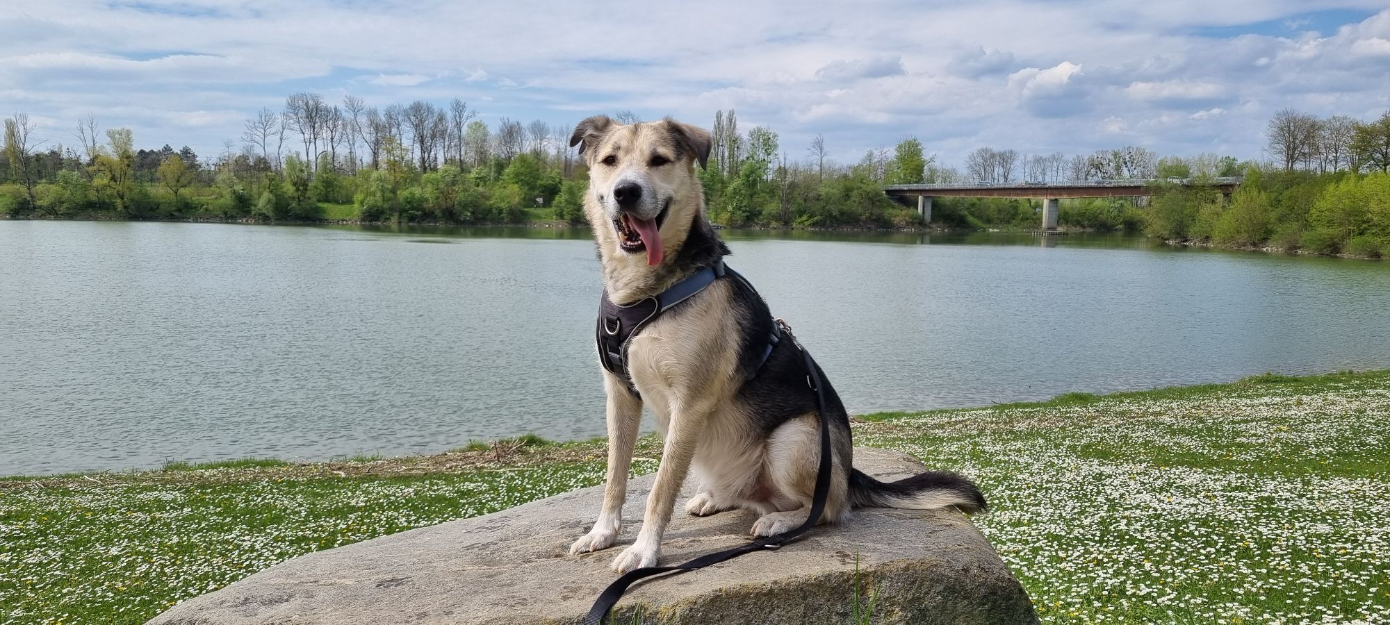
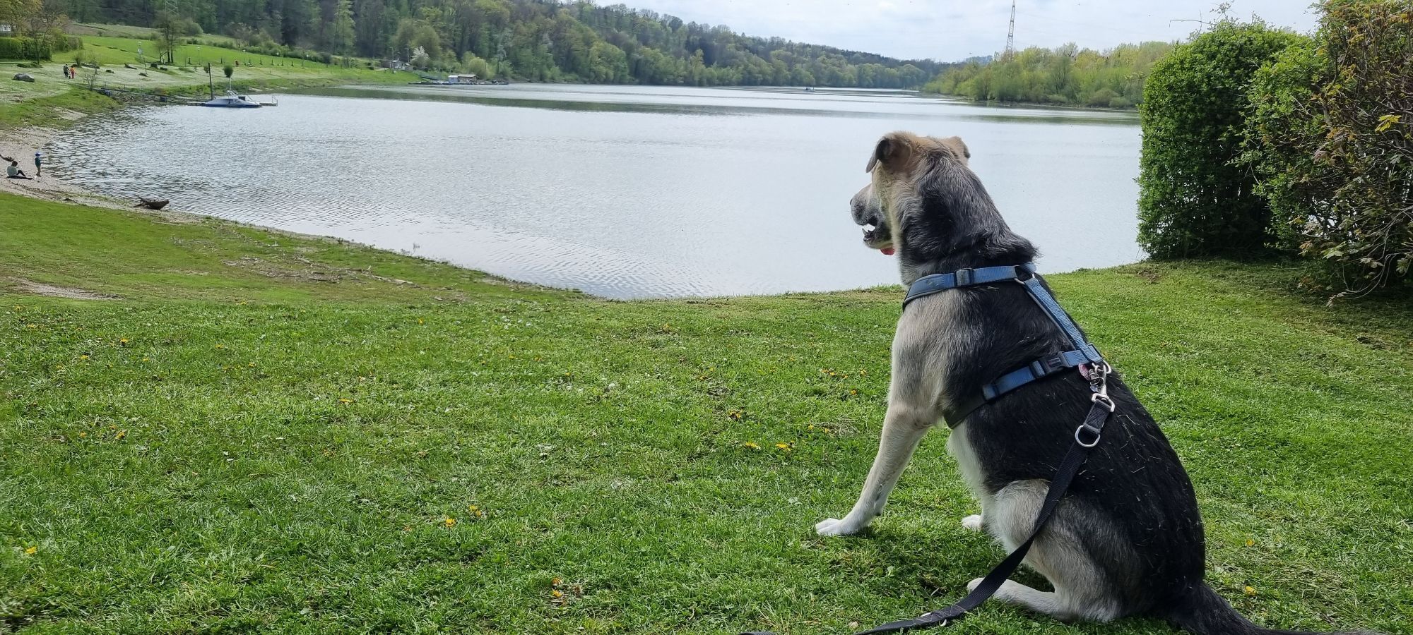
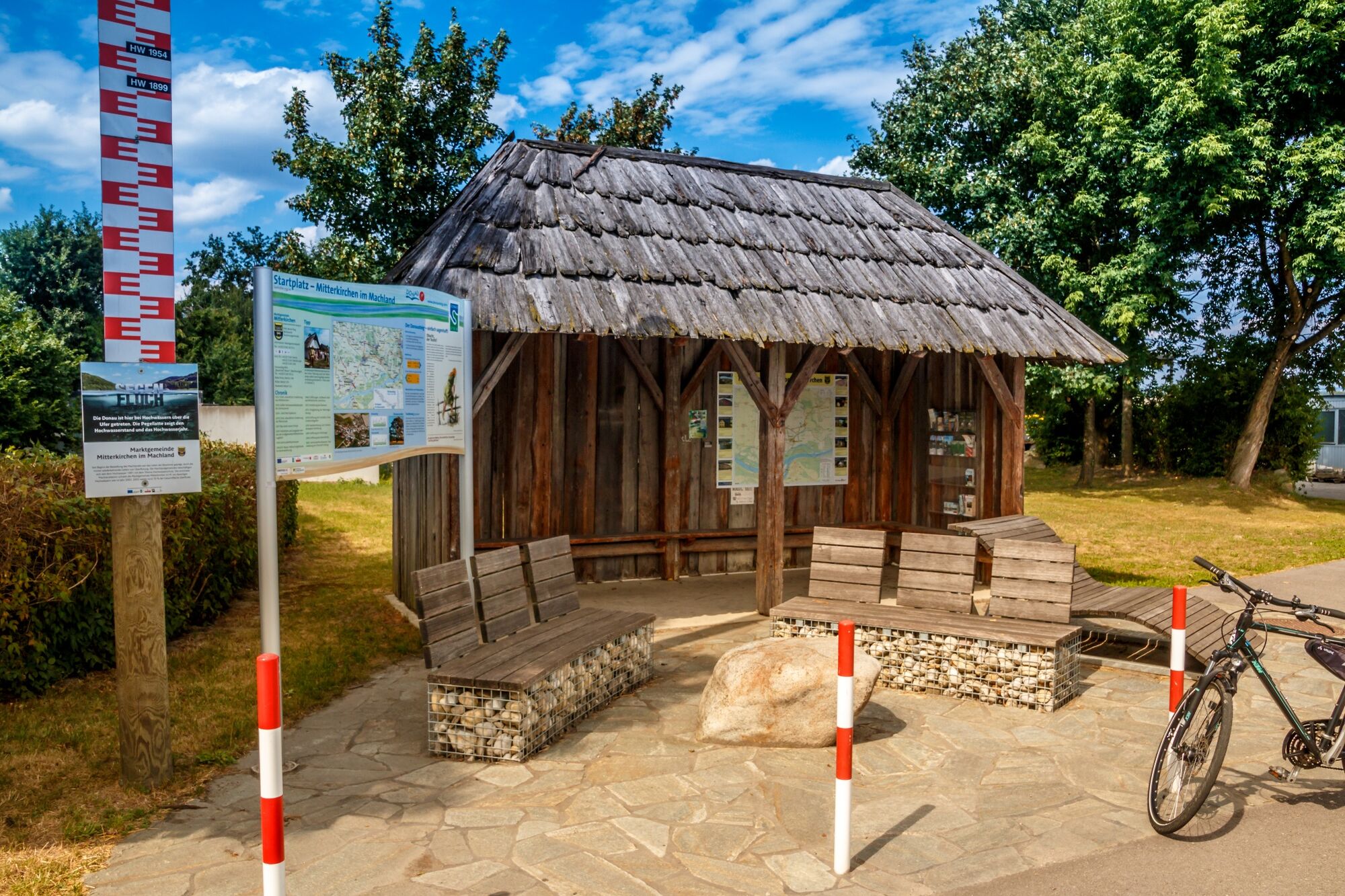
View from Mitterkirchen: On the right before the bridge across the abandoned river course
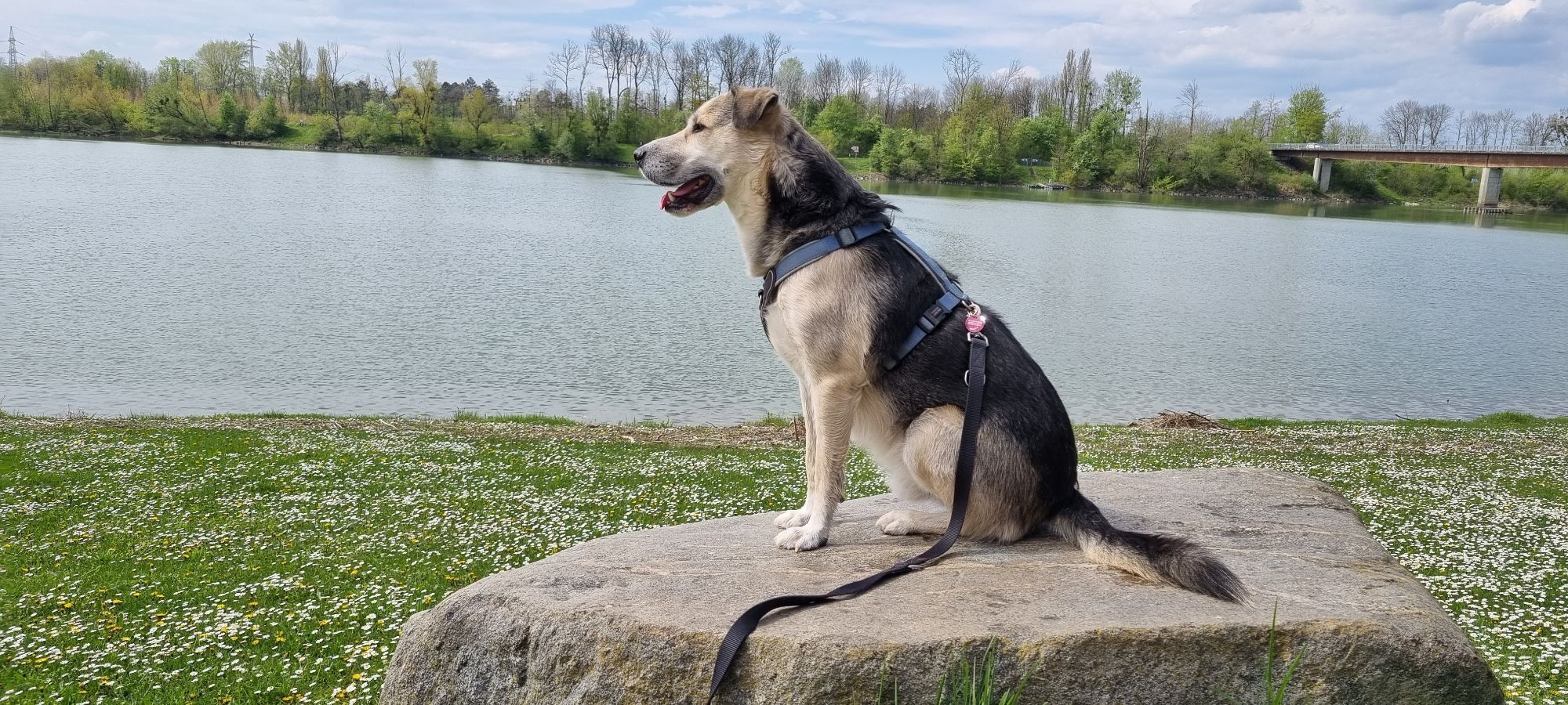
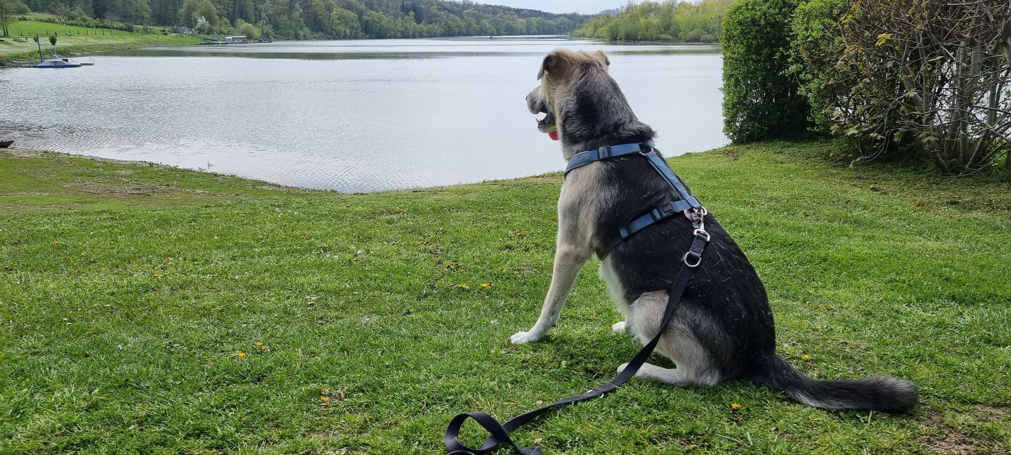
View from Wallsee: On the left after bridge across the abandoned river course
Location and getting there
How to arrive in the Danube Upper Austrian region?
The fast way to your destination – by train, bus, car, boat or plane.
Before/after the set of traffic lights you’ll find a parking lot
Parcours populaires à proximité
-
4,2
Wallsee Altarmrunde
facileRandonnée 8,19 km -
4,5
Gobelwarte-Runde, Grein
moyenRandonnée 8 km -
4,5
Gobelwarte - Grein, Oberösterreich
moyenRandonnée 5,41 km -
4,6
Brandstetterkogel über Matras Steig
facileRandonnée 6,28 km -
4,1
Wolfsschlucht - auf den Spuren adeliger Kurgäste
Randonnée 2,29 km -
4,8
Burg Klam Rundweg
facileRandonnée 10,9 km -
Danube Cycle Path Stage 3 North Bank: Linz - Grein
facilePiste cyclable longue distance 60,4 km -
4,0
Brandstetterkogel - Gipfelstein
facileRandonnée 7,09 km -
5,0
Danube Cycle Path Stage 3 South Bank: Linz - Ardagger
facilePiste cyclable longue distance 59,1 km -
3,5
Bad Kreuzen: Kreuzner Donaublick Loop Tail
moyenRandonnée 16,8 km
Randonnée et suivi


Ne manquez pas les offres et l'inspiration pour vos prochaines vacances
Votre adresse électronique a été ajouté à la liste de diffusion.