


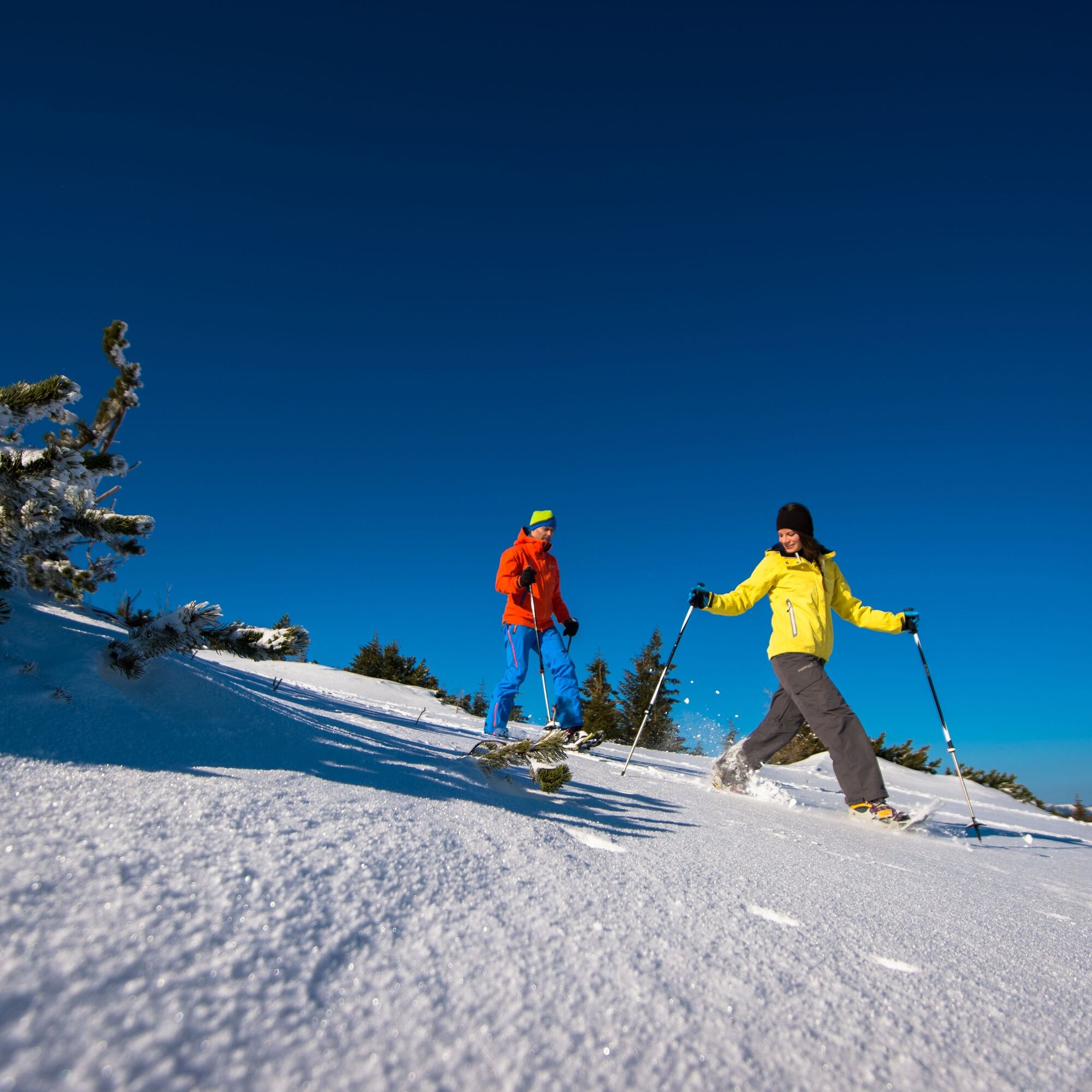
Snowshoe hike from Preiner Gscheid to Waxriegelhaus


Photos de nos utilisateurs

 © Leonardo ChicaybamCréé le 01.11.2022
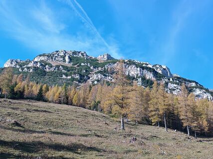 © Leonardo ChicaybamCréé le 01.11.2022
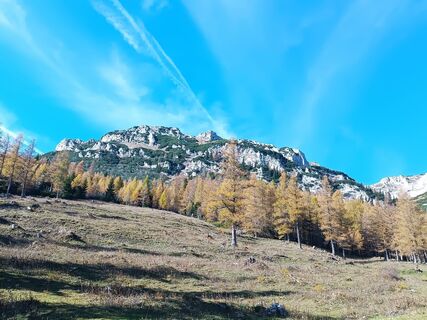 © Leonardo ChicaybamCréé le 01.11.2022
 © Leonardo ChicaybamCréé le 01.11.2022
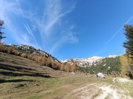 © Leonardo ChicaybamCréé le 01.11.2022
 © Leonardo ChicaybamCréé le 01.11.2022
 © Leonardo ChicaybamCréé le 01.11.2022
 © Leonardo ChicaybamCréé le 01.11.2022
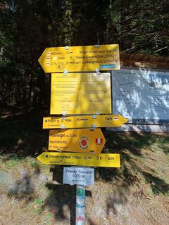 © Leonardo ChicaybamCréé le 01.11.2022
 © Joda1970Créé le 16.10.2022
 © Joda1970Créé le 16.10.2022
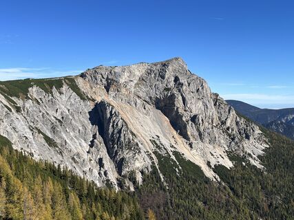 © Joda1970Créé le 16.10.2022
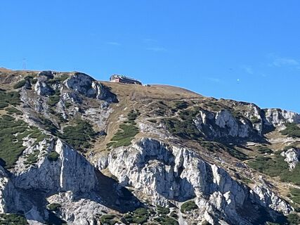 © Joda1970Créé le 16.10.2022
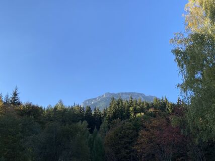
 © SterCréé le 07.10.2022
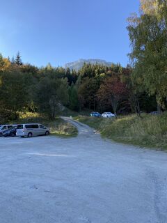 © SterCréé le 07.10.2022
 © SterCréé le 07.10.2022
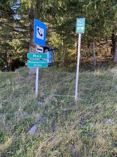 © SterCréé le 07.10.2022
 © Klaus Irmler 1Créé le 25.09.2022
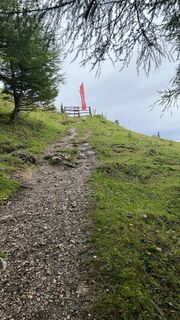 © Klaus Irmler 1Créé le 25.09.2022
 © Klaus Irmler 1Créé le 25.09.2022
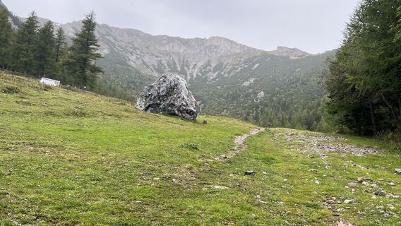 © Klaus Irmler 1Créé le 25.09.2022
 © Klaus Irmler 1Créé le 25.09.2022
 © Klaus Irmler 1Créé le 25.09.2022
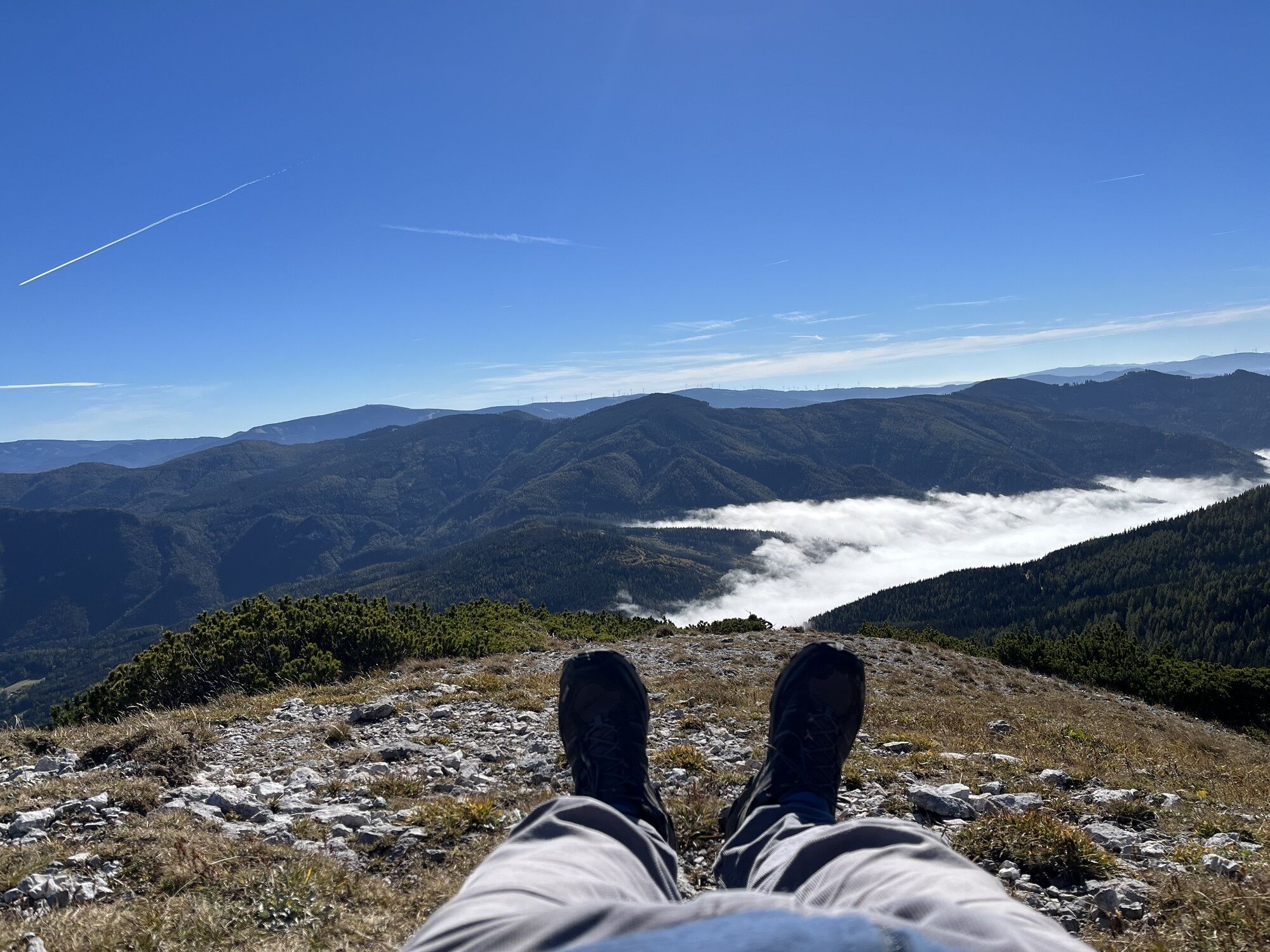
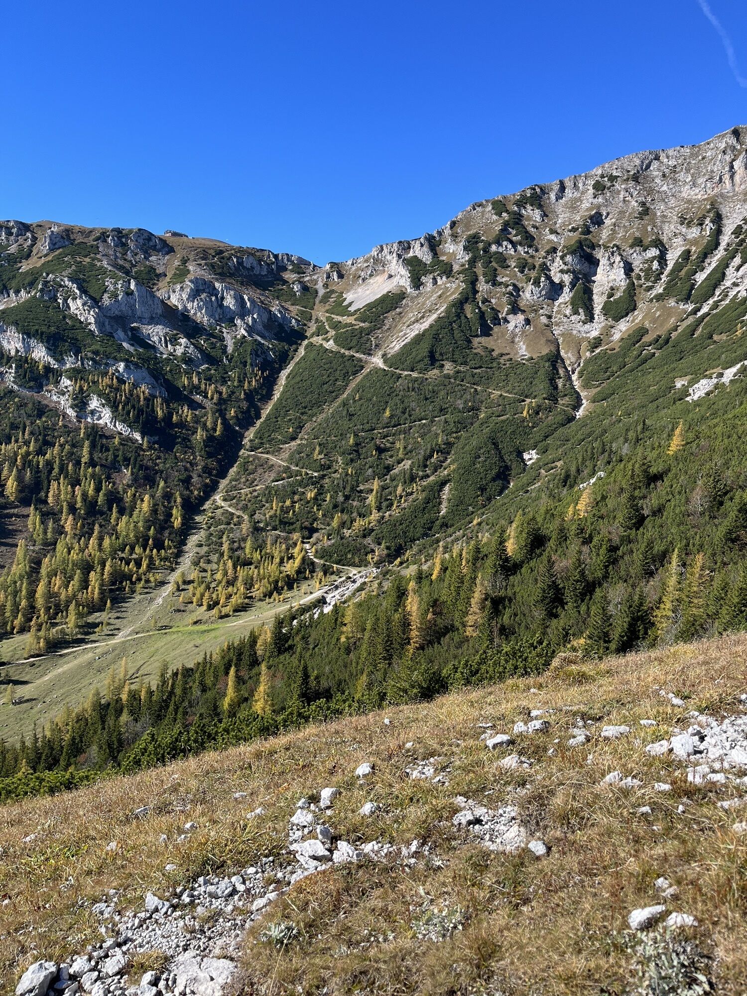
 © BergpiratCréé le 09.07.2024
 © BergpiratCréé le 09.07.2024
 © BergpiratCréé le 09.07.2024
 © BergpiratCréé le 09.07.2024
 © BergpiratCréé le 09.07.2024
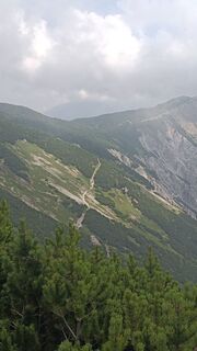 © BergpiratCréé le 09.07.2024
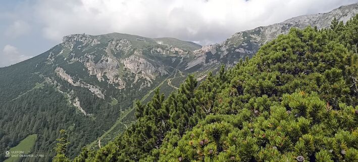 © BergpiratCréé le 09.07.2024
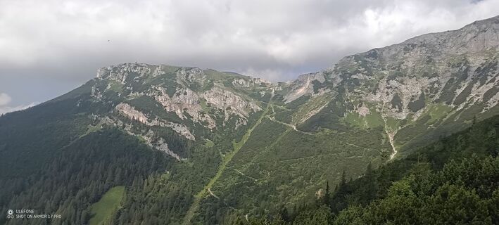 © BergpiratCréé le 09.07.2024
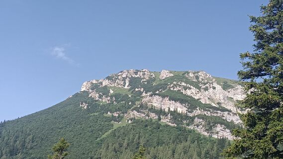 © BergpiratCréé le 09.07.2024
 © BergpiratCréé le 09.07.2024
 © BergpiratCréé le 09.07.2024
 © BergpiratCréé le 09.07.2024
 © BergpiratCréé le 09.07.2024
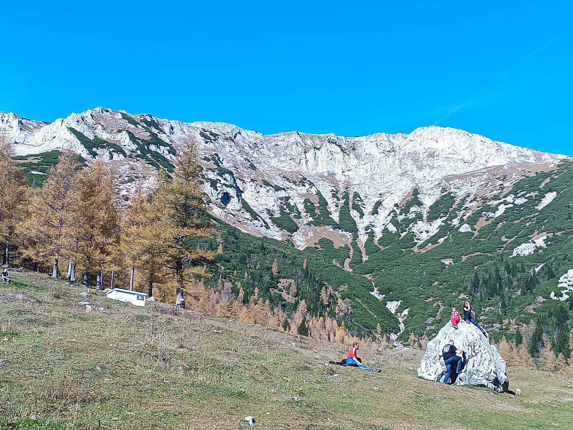
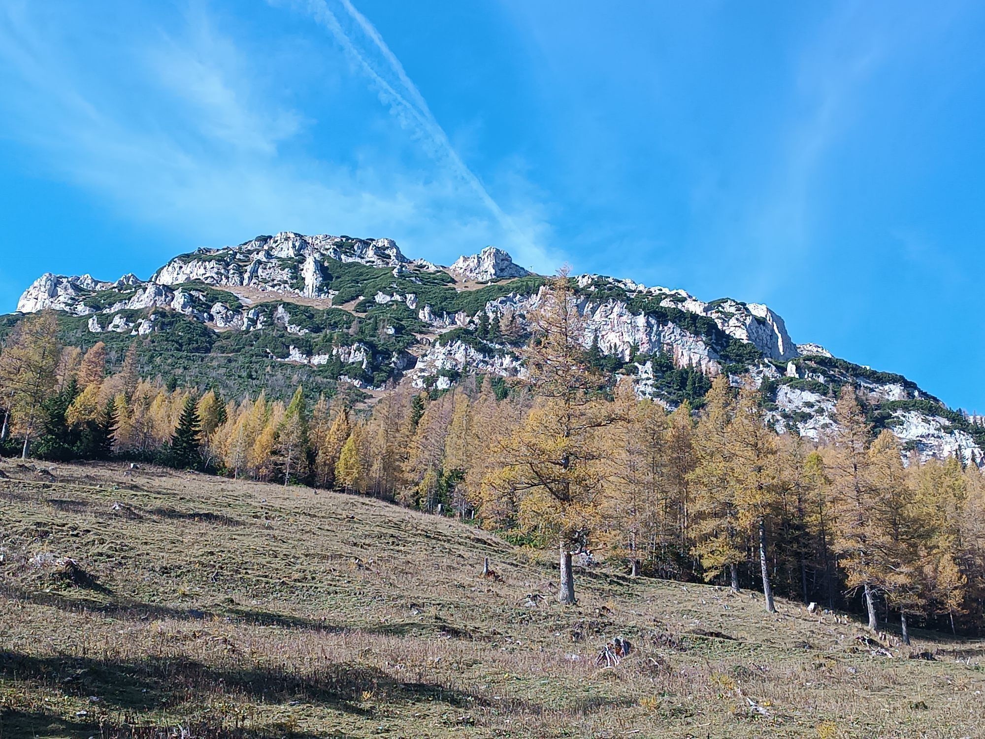
 © Gyula TóthCréé le 08.06.2024
 © Gyula TóthCréé le 08.06.2024
 © Gyula TóthCréé le 08.06.2024
 © Gyula TóthCréé le 08.06.2024
 © Gyula TóthCréé le 08.06.2024
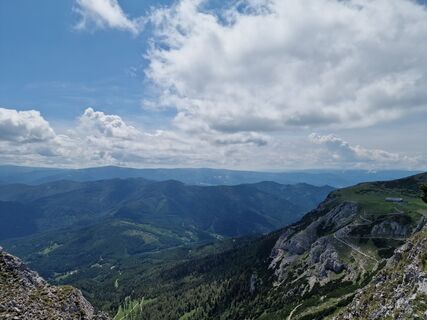 © Gyula TóthCréé le 08.06.2024
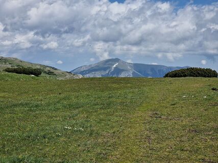 © Gyula TóthCréé le 08.06.2024
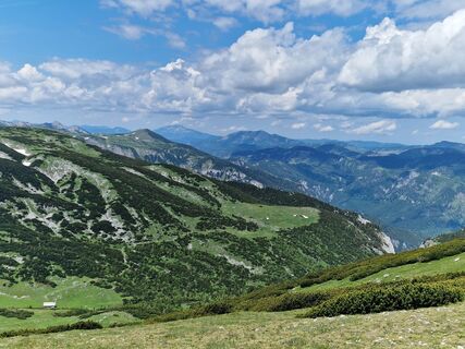 © Gyula TóthCréé le 08.06.2024
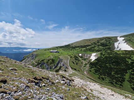 © Gyula TóthCréé le 08.06.2024
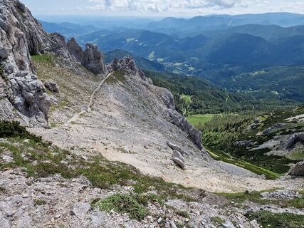 © Gyula TóthCréé le 08.06.2024
 © Gyula TóthCréé le 08.06.2024
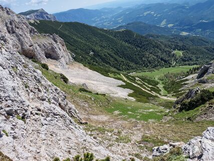 © Gyula TóthCréé le 08.06.2024

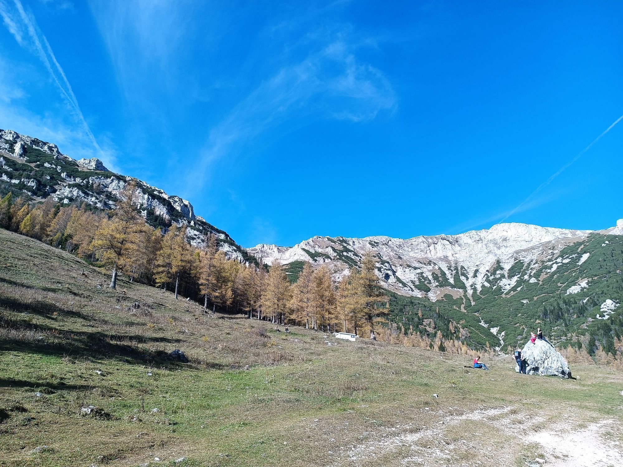

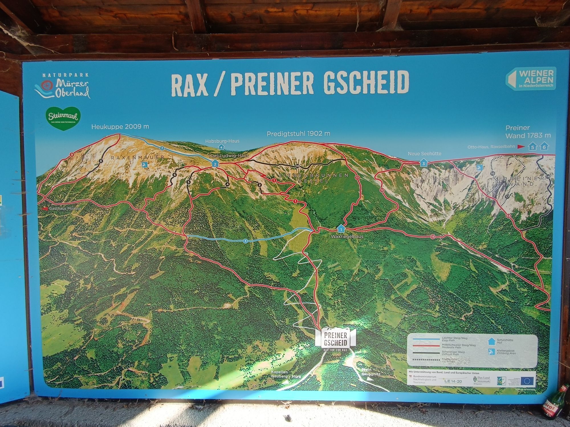
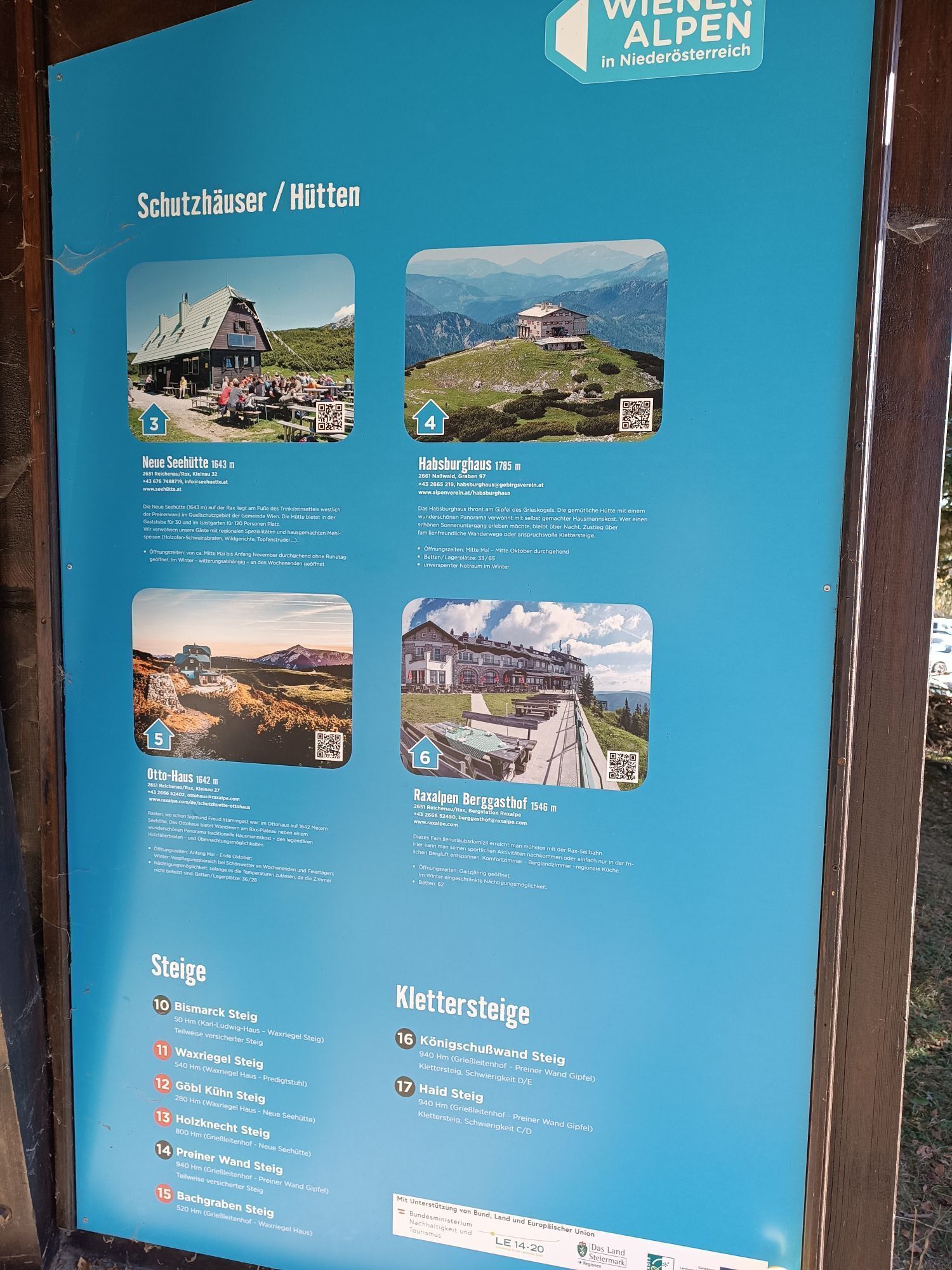


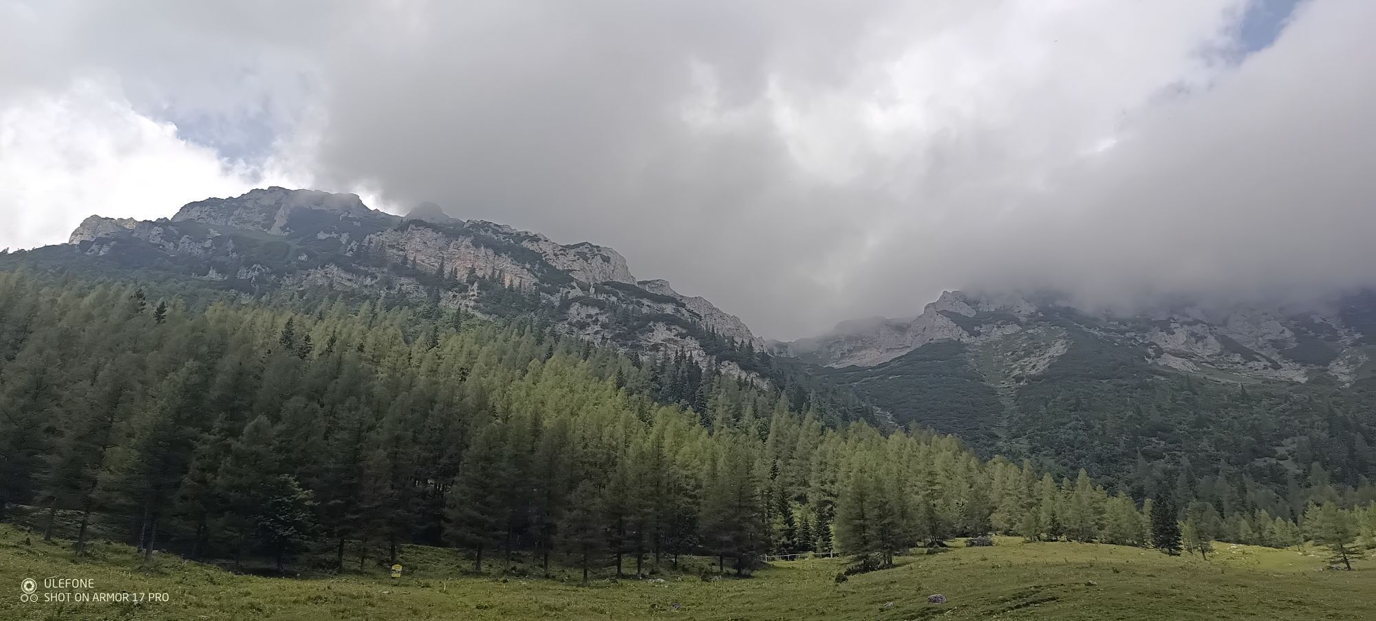
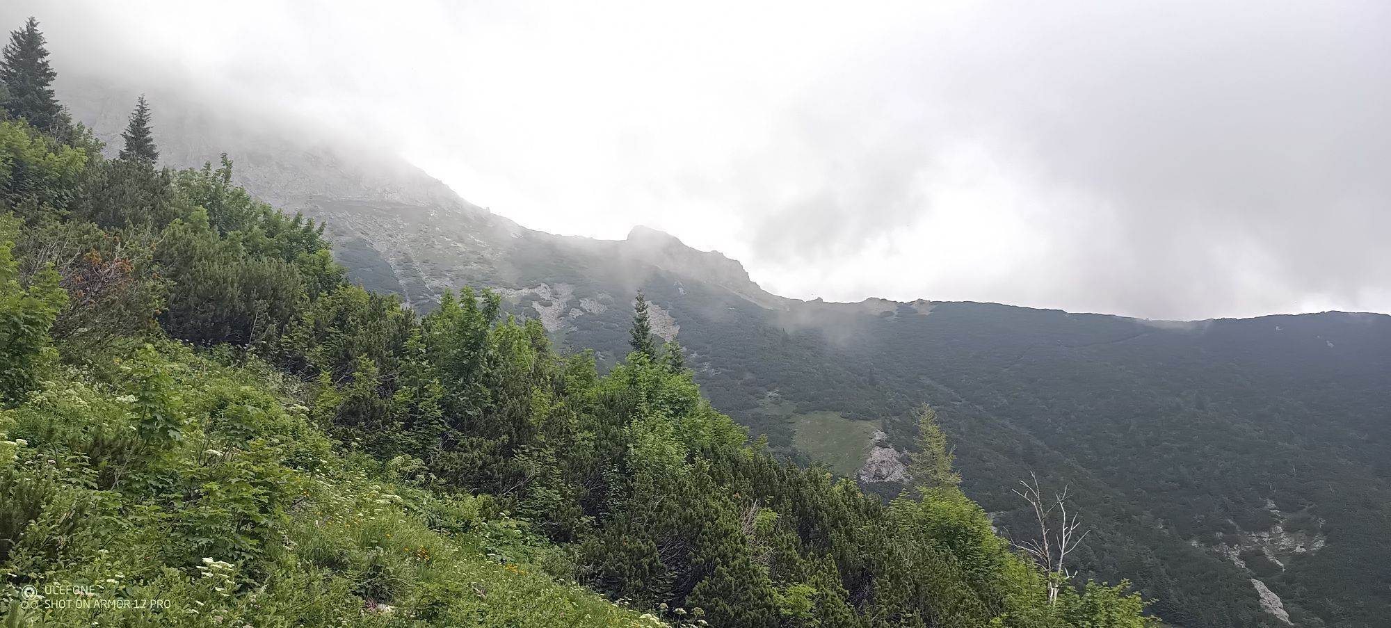

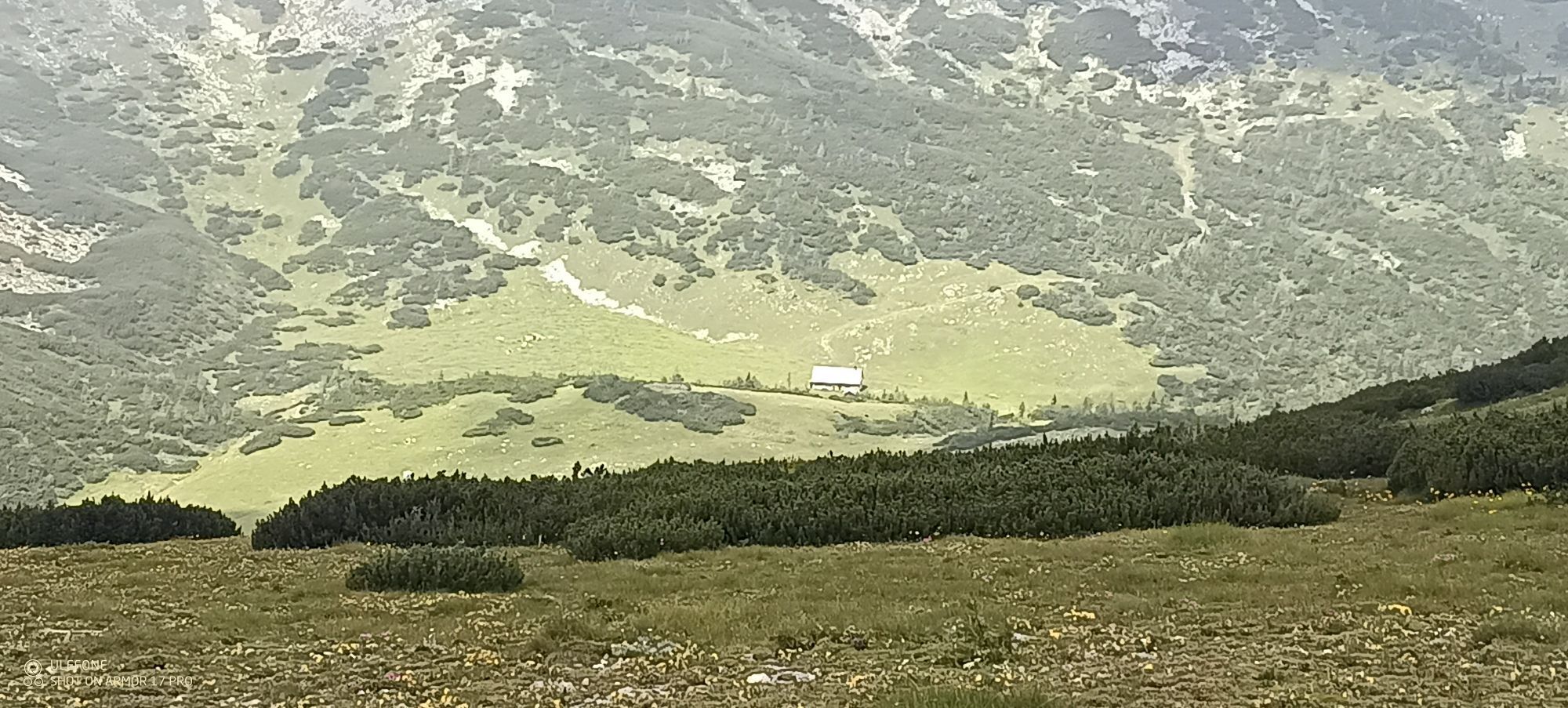


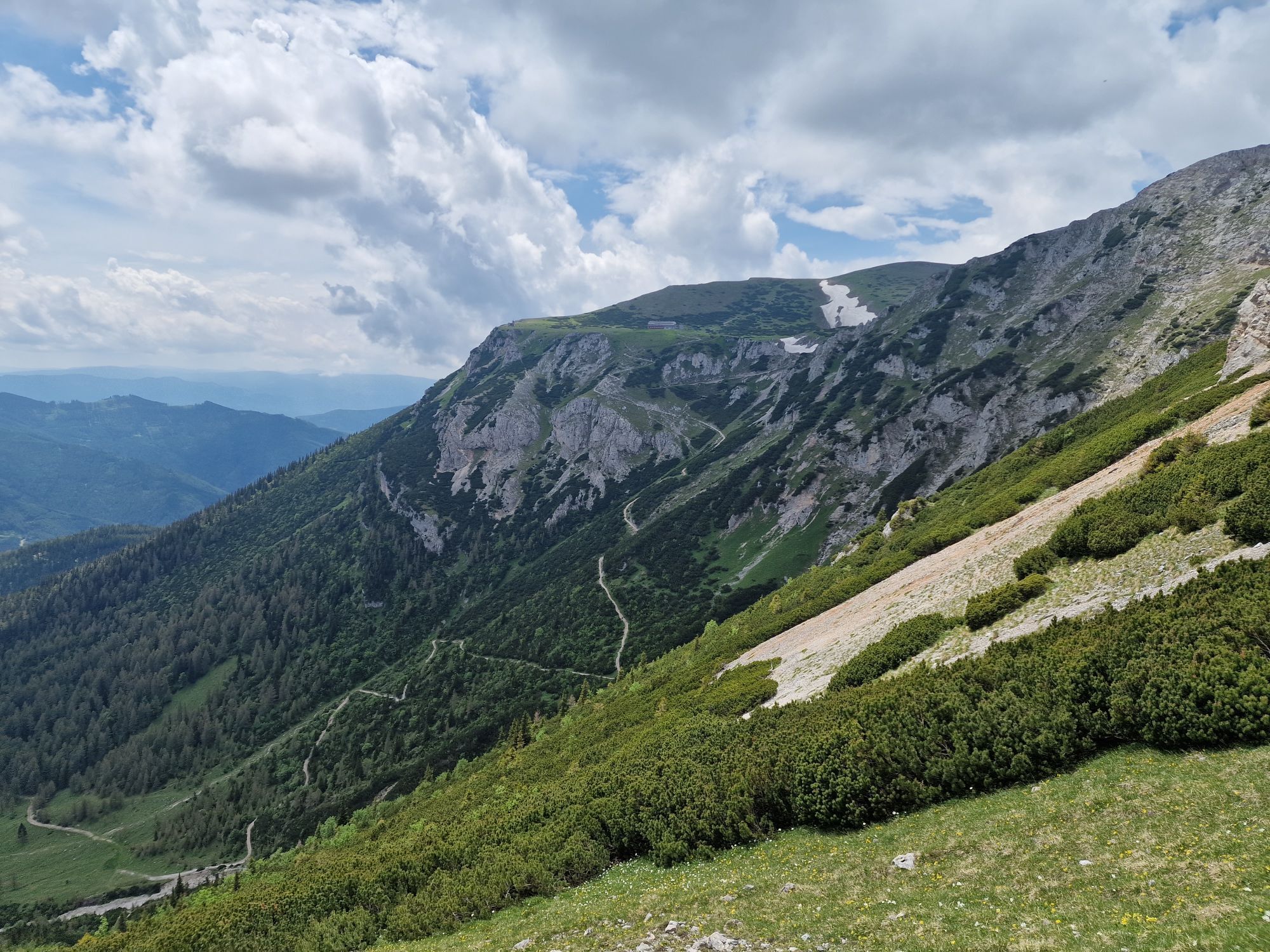

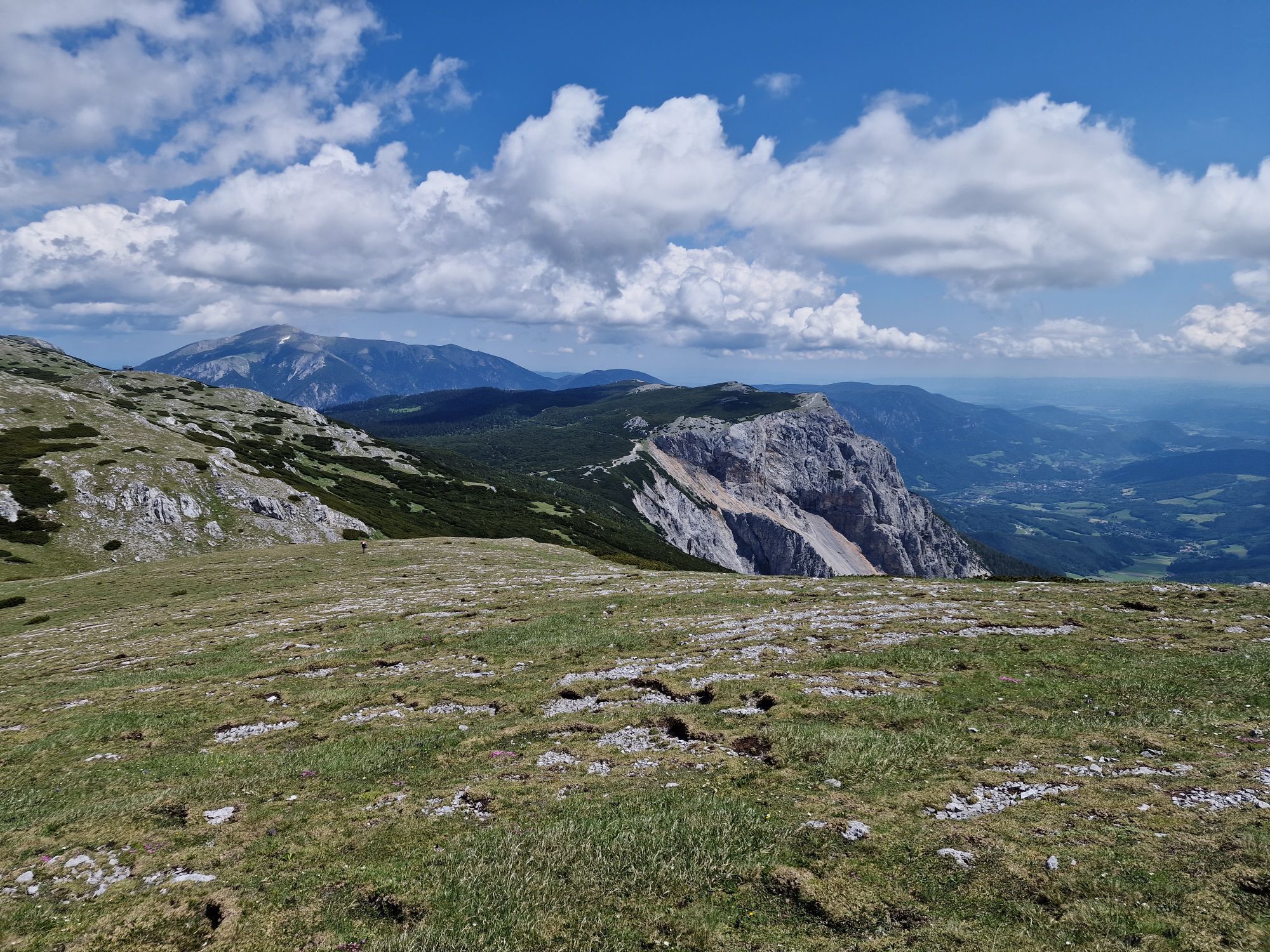

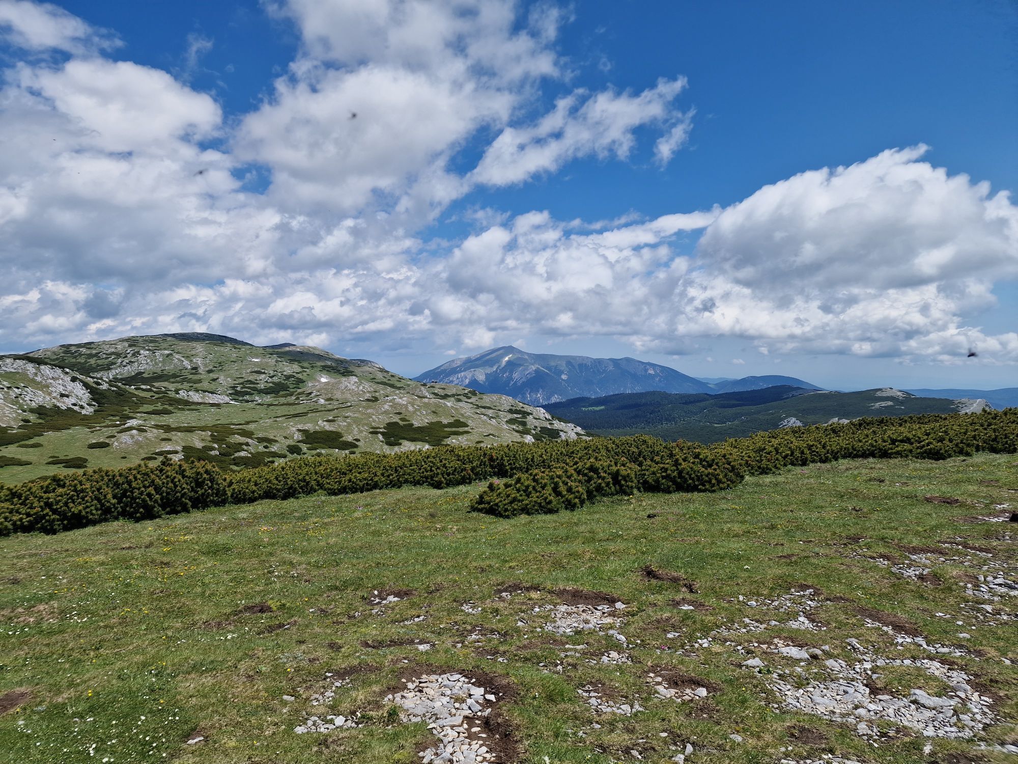

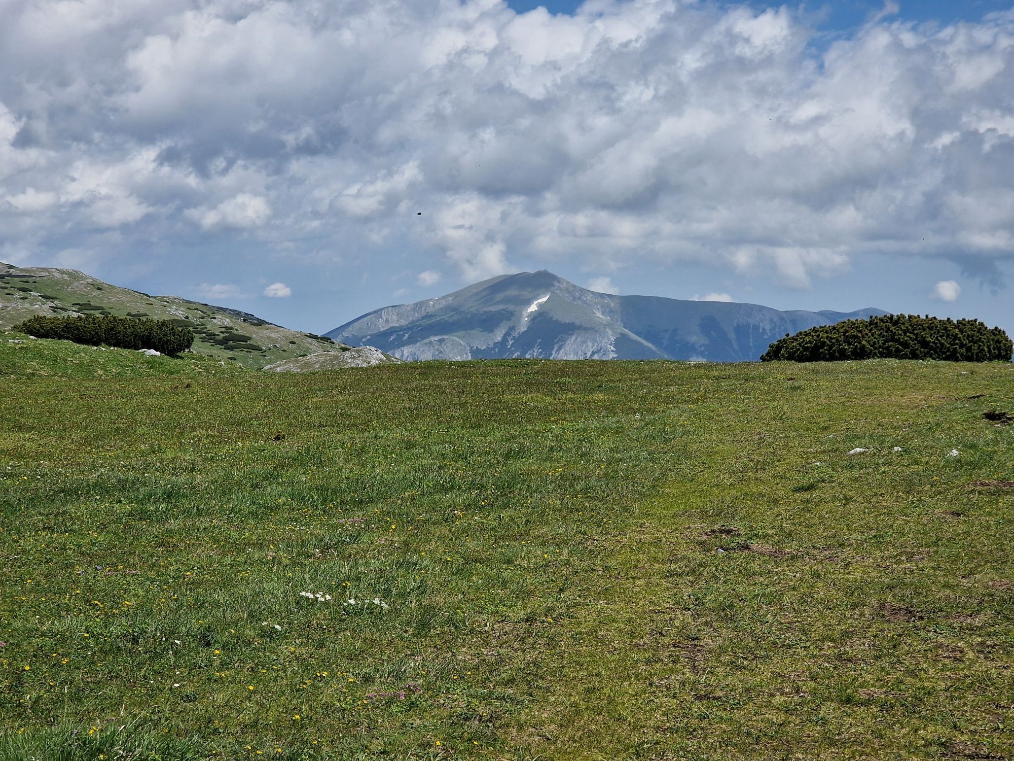


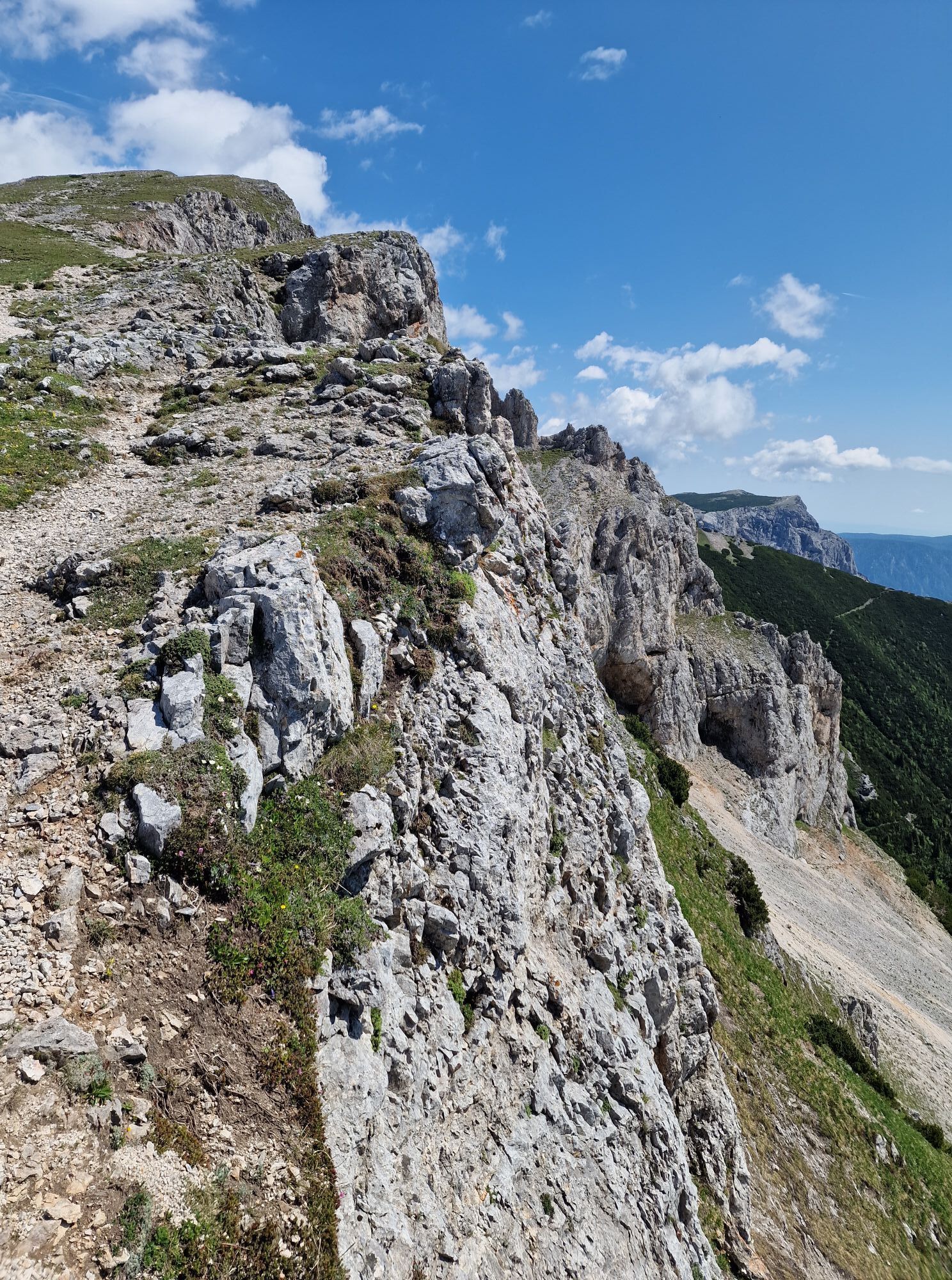

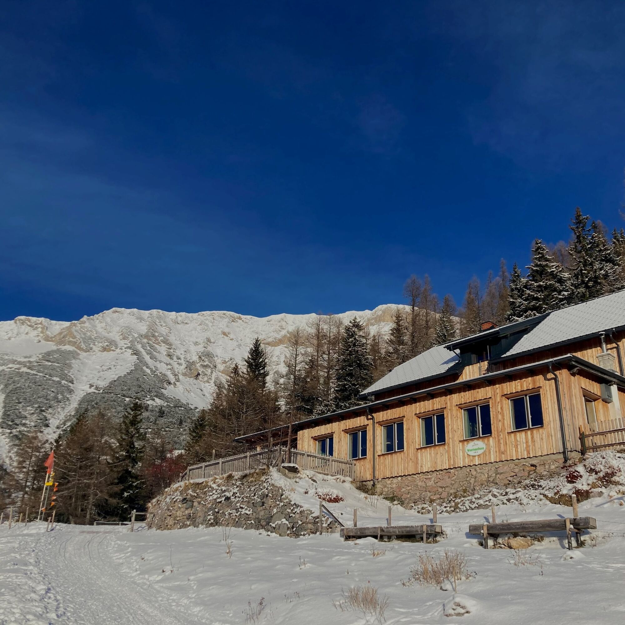
Waxriegelhaus is situated at the foot of the Rax, 1361m above sea level, and is open all year round. As a nature park partner, the cabin offers quiet, traffic-free and natural surroundings with woods and...
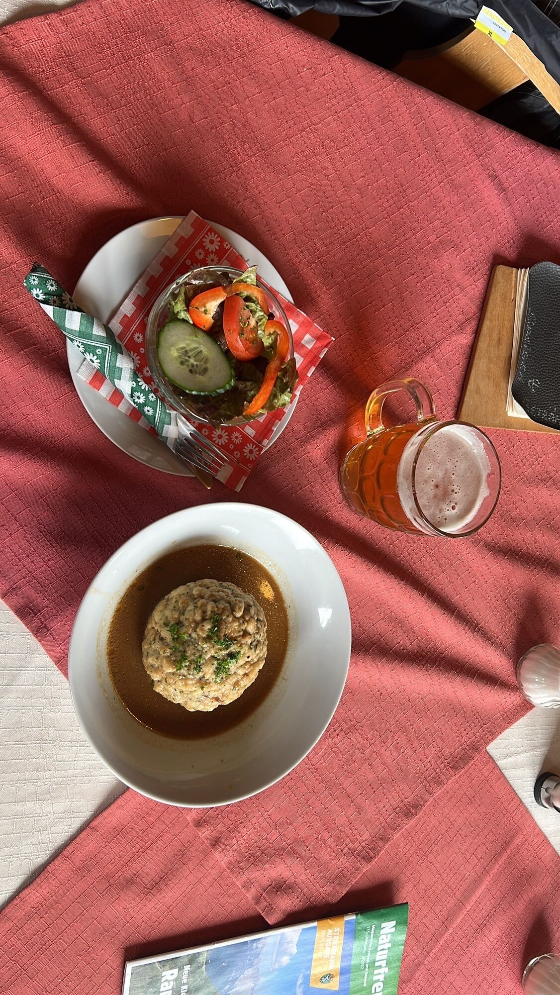
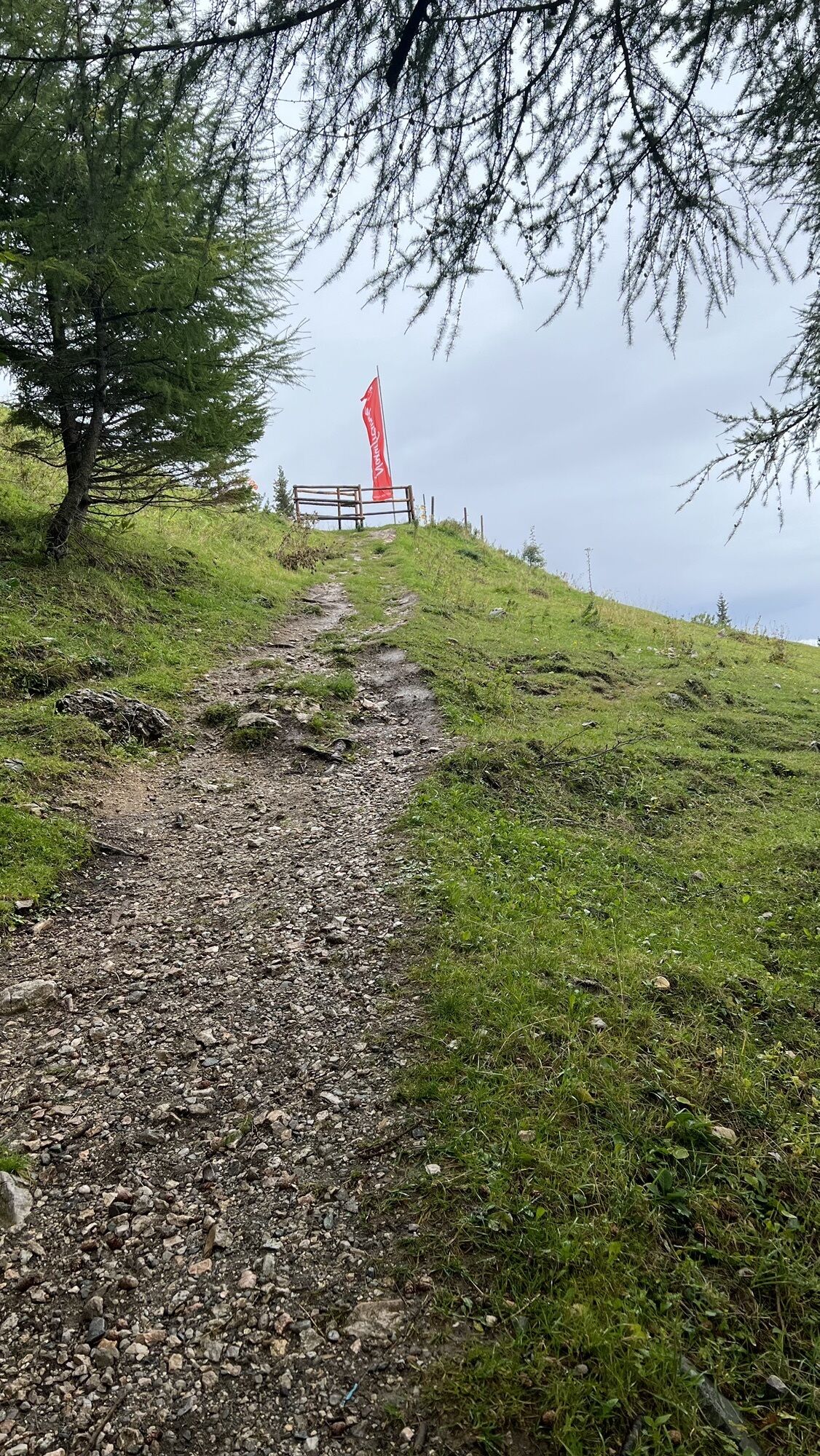
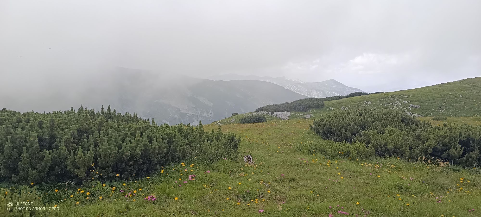
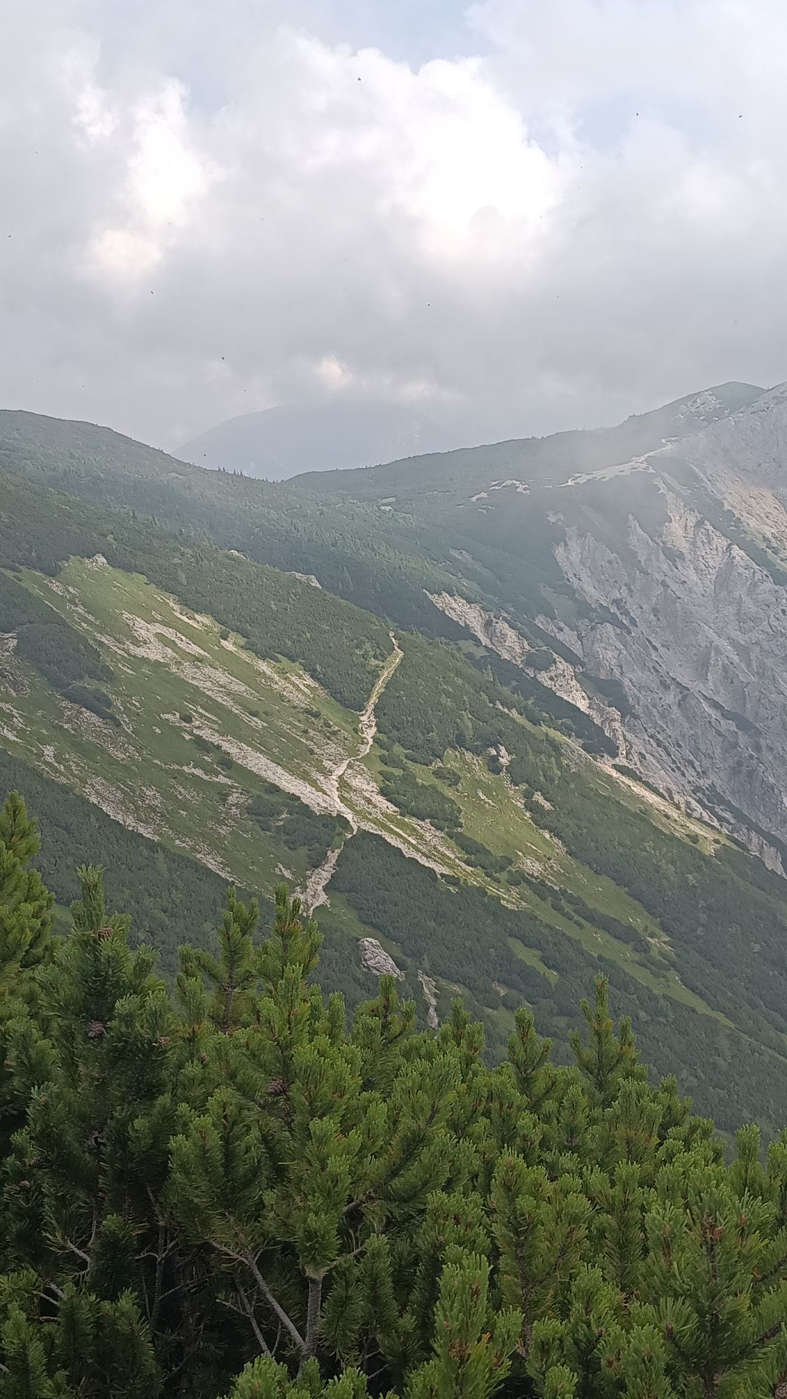
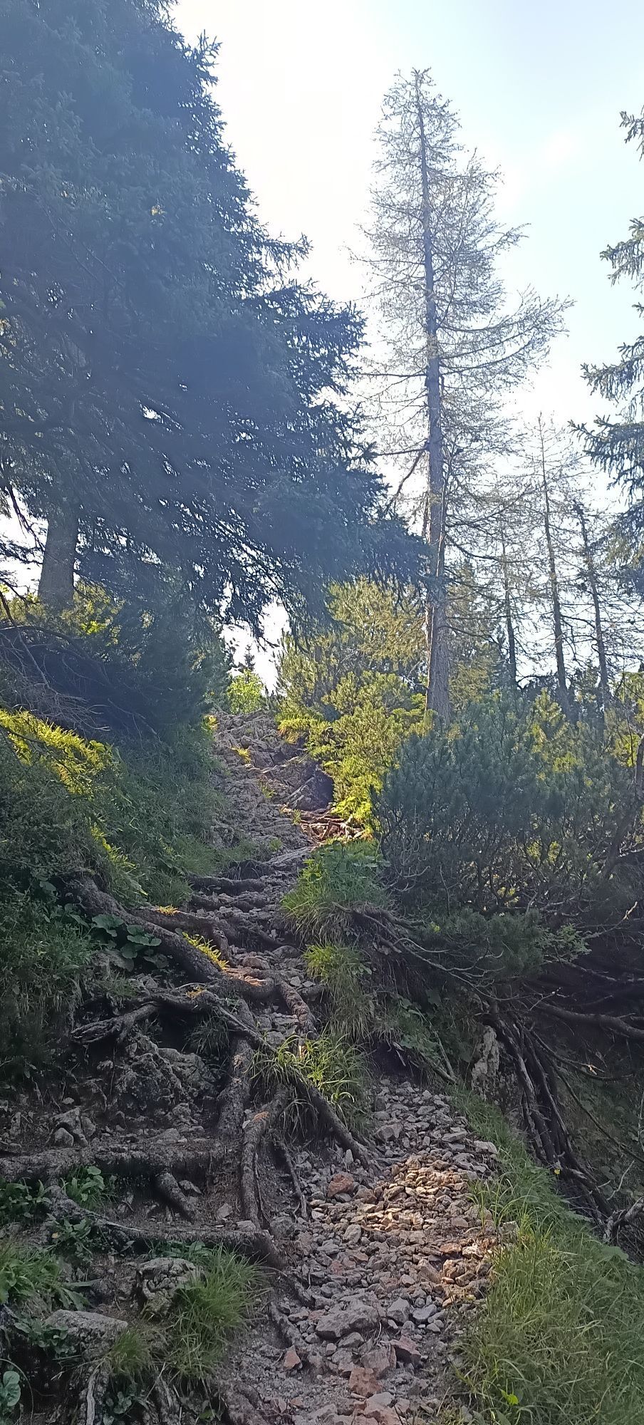
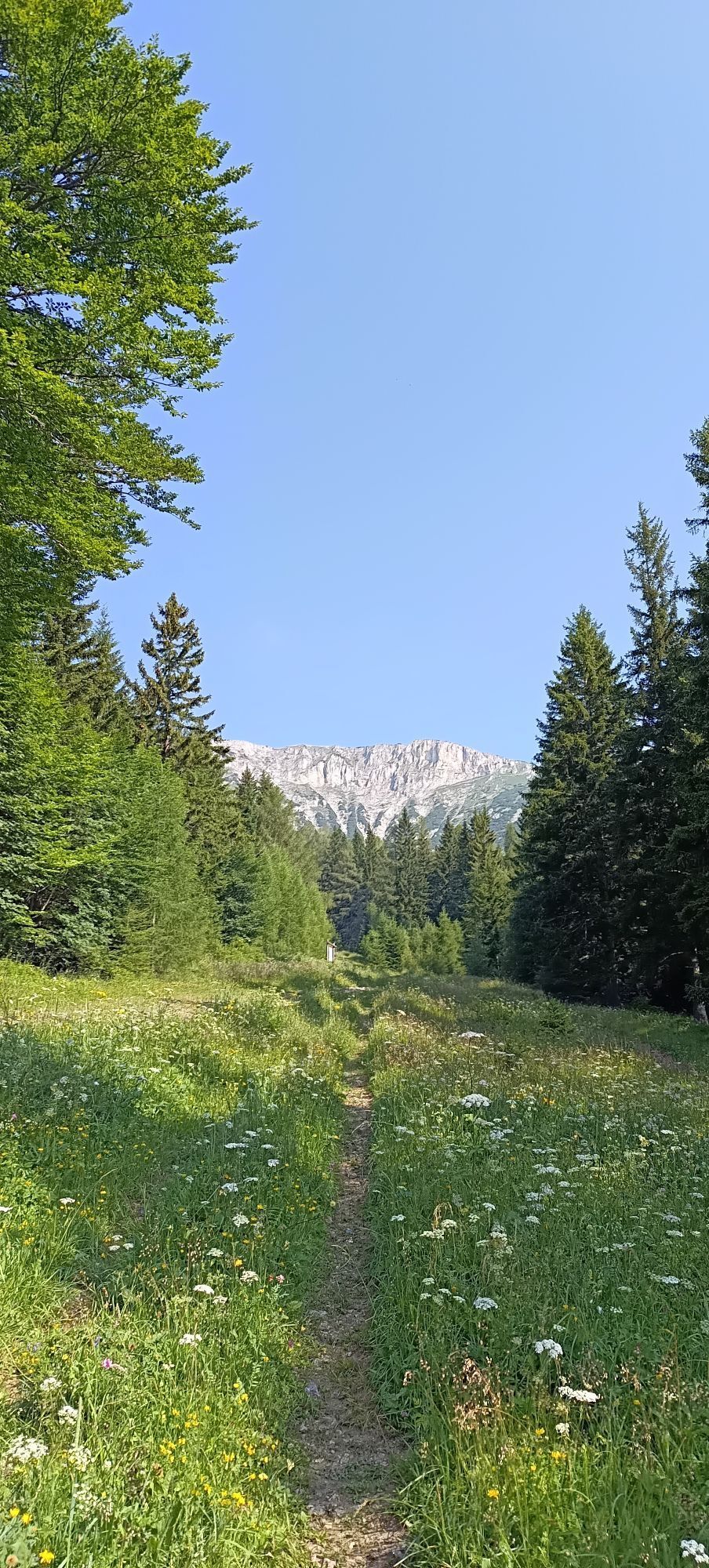
Waxriegelhaus is situated at the foot of the Rax, 1361m above sea level, and is open all year round. As a nature park partner, the cabin offers quiet, traffic-free and natural surroundings with woods and pastures. This pleasant atmosphere can also be enjoyed on the way up from Preiner Gscheid. The top of the pass, a popular starting point for numerous hikes, is always busy, and before your climb you can fortify yourself in the Edelweißhütte. But after a few yards you are surrounded by the quiet of the woods, and reach the Waxriegelhaus in about an hour. The Waxriegelhaus offers its own beer and various culinary delicacies to strengthen the hiker, such as Syrian beef specialities. From Preiner Gscheid you can also easily go up to the Waxriegelhaus via the forest road, which takes somewhat longer, but avoids any steep inclines.

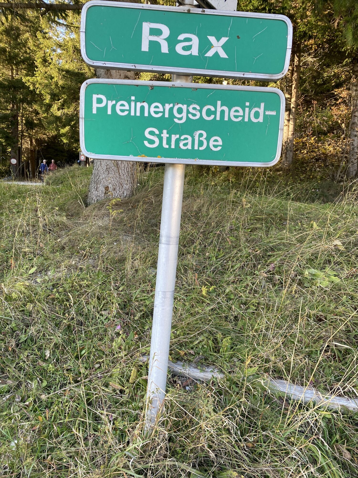
We start from the Edelweißhütte via the red-marked route 829 and carry on straight. In doing this, we often cross the road. After 800 metres we turn right onto the ‘Rax’ road. At the next bend, we carry straight ahead on the path and follow it straight on past the Peilsteinhütte. We reach the Waxriegelhaus on our right.
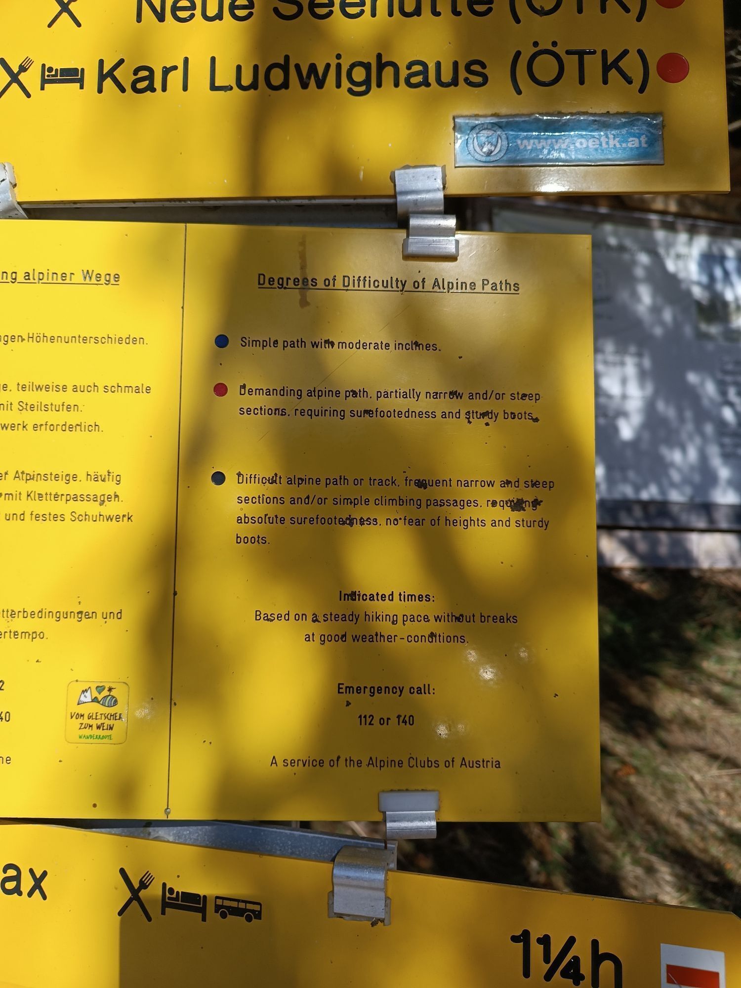
Always bring suitable maps. Always wear appropriate, sturdy footwear, bring sun and rain protection and water, as well as a little something to eat. Bring your mobile phone with you and save the mountain rescue emergency number: 140
Mountain rescue emergency number: 140
EU emergency number: 112
Your hiking experience in the Vienna Alps should be a thoroughly enjoyable and safe one. Therefore, please bear the following in mind:
Preparation
When choosing a route, make sure it corresponds to your experience and physical fitness level. Check the weather forecast before you set off. The weather can change surprisingly quickly in the mountains. Always take appropriate equipment with you (e.g. rain protection).
Check whether the cabins and snack stations you intend to visit along the way are open. Inform someone before you set off of your chosen route and when you plan to return.
From Vienna, take S6 Semmeringsschnellstraße via Südautobahn (southern motorway) A2, then take the exit for Gloggnitz. Follow the B27 to Reichenau an der Rax, then take the third exit (Wartholzstraße) on the roundabout. Turn left at Edlach, bear left at Dörfl, straight ahead at L135, straight ahead at Prein an der Rax/L135, straight ahead at Preinrotte, bear right at Prein an der Rax, straight ahead at Preiner Gscheid Str. to the top of the pass.
From Graz, take S6 Semmeringsschnellstraße via the S35, then take the exit for Mürzzuschlag-West. Go straight ahead on the B23.Take the first exit at the roundabout to stay on the B23. Turn right on Hauptstraße, straight ahead on Stojenstraße. Straight ahead on Preiner Gscheid Str. to the top of the pass.
Take the regional train from Vienna towards Payerbach-Reichenau via Wiener Neustadt as far as the terminus. Take a taxi to Edelweißhütte/Parkplatz/Preiner Gscheid or the regional bus 1748 (towards Prein/Rax Gh Oberer Eggl) as far as Edelweißhütte, Preiner Gscheid.
You can find further information at www.oebb.at or www.vor.at
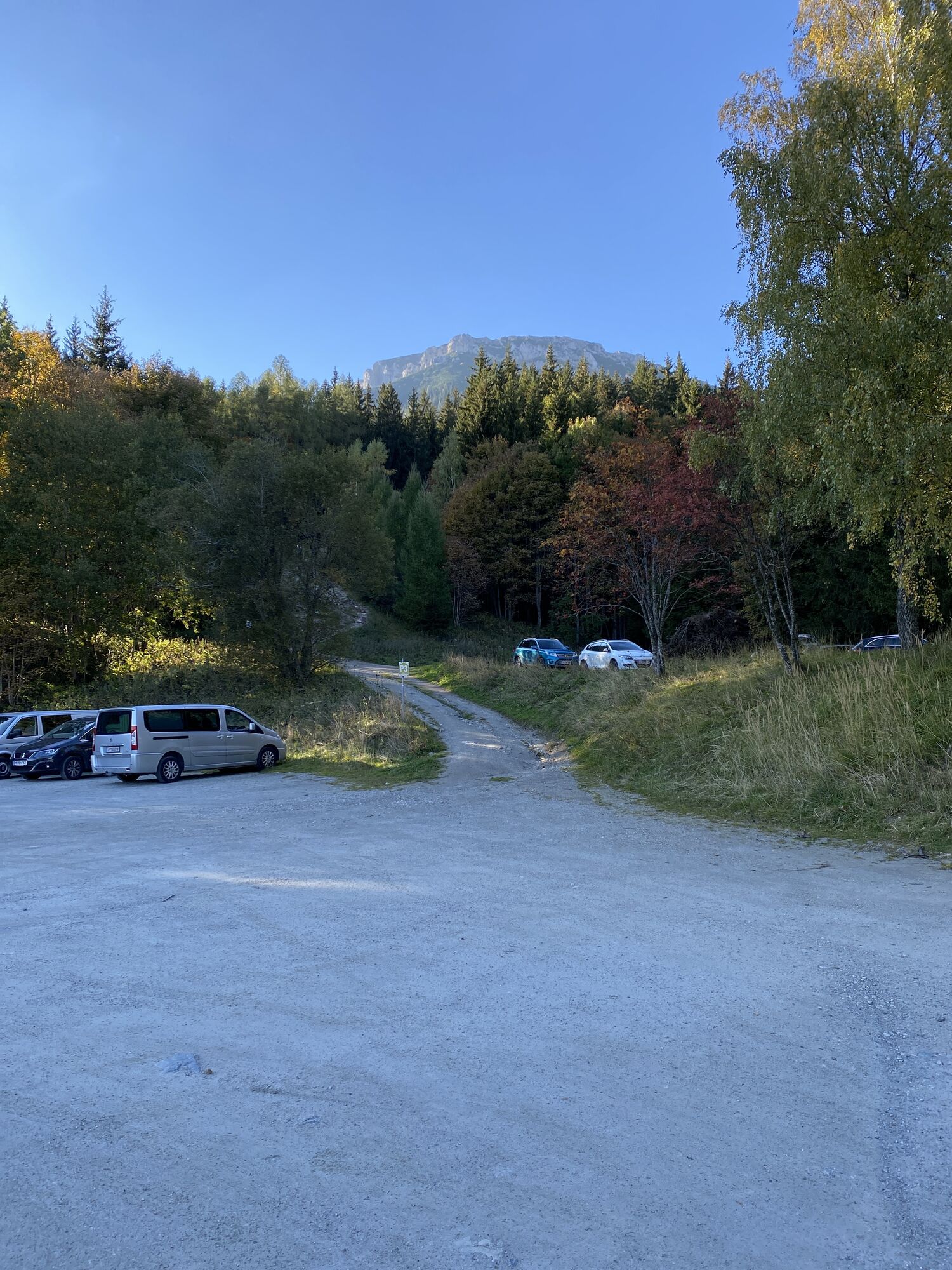
Parking available at Edelweißhütte/Preiner Gscheid.
Wiener Alpen in Niederösterreich, www.wieneralpen.at, +43 / 2622 / 78960
Erlebnisregion Semmering-Rax: www.semmering-rax.com
Einen Überlick über alle Winterwanderrouten in der Region finden sie hier: https://www.semmering-rax.com/wintertouren-download
Combine your hike with an overnight stay in the Rax region!
Parcours populaires à proximité
- 4,4
Familienwanderung auf die Schneealm im Naturpark Mürzer Oberland
facileRandonnée9,86 km - 4,8
Balade circulaire à Payerbach, passant par la vue du jubilée et la chapelle Schedkapelle
moyenRandonnée8,84 km - 4,9
"Schneealpe" - "Windberg 1903m" Rundkurs
moyenRandonnée14,3 km - 4,8
Raxplateau Runde 12km
moyenRandonnée11,3 km - 4,8
Krummbachstein Dez 20
moyenRandonnée15,7 km - 4,8
Karl Lechnerhaus - Stuhleck
moyenRandonnée7,81 km - 4,7
Gsohlhirnsteig - Ottohaus - Törmweg (Rundwanderung)
moyenRandonnée11,0 km - 4,6
Krummbachstein Rundwanderung, NÖ
moyenRandonnée15,2 km - 4,4
Höllental Gr. Höllental AV Steig Ottohaus Wachhüttelkamm ret. 09.06.2017
difficileRandonnée10,6 km - 4,4
Hochschneeberg/Klosterwappen plateau hike
moyenRandonnée7,27 km
Randonnée et suivi


Ne manquez pas les offres et l'inspiration pour vos prochaines vacances
Votre adresse électronique a été ajouté à la liste de diffusion.