Za Groniem - Ochodzita - Ożna - Kykuľa / Kikula
difficile
Naviguer
Naviguer
Télécharge cette visite sur ton portable
Za Groniem - Ochodzita - Ożna - Kykuľa / Kikula
difficile
VTT
65,97
km
Scanner le code QR et commencer la navigation dans l'application bergfex

Randonnée & tracking


Za Groniem - Ochodzita - Ożna - Kykuľa / Kikula
difficile
Distance
65,97
km
Durée
06:39
h
Ascension
2 305
m
Altitude
447 -
951
m
Téléchargement de la piste
Za Groniem - Ochodzita - Ożna - Kykuľa / Kikula
difficile
VTT
65,97
km
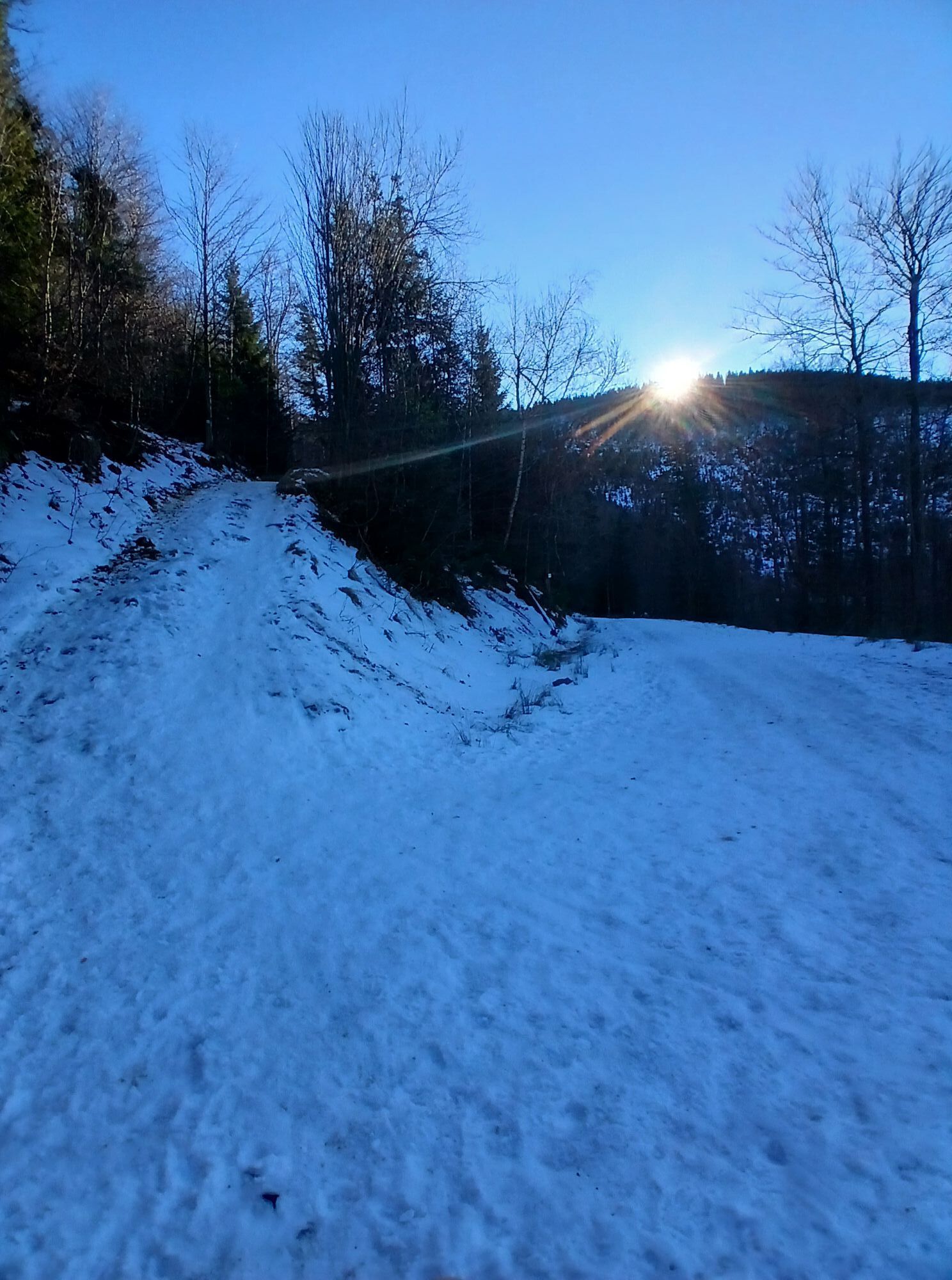
Photos de nos utilisateurs

Parcours
Za Groniem
(530 m)
Lotissement
2,4 km
Kohutowie
(613 m)
Lotissement
6,6 km
Ochodzita
(895 m)
Sommet
14,1 km
Rupienka
(672 m)
Selle de montagne
16,4 km
Ożna
(952 m)
Sommet
37,6 km
Kykuľa / Kikula
(845 m)
Sommet
48,8 km
Dachtony
(709 m)
Lotissement
57,6 km
Parcours
Za Groniem - Ochodzita - Ożna - Kykuľa / Kikula
difficile
VTT
65,97
km
Za Groniem
(530 m)
Lotissement
2,4 km
Nowina
(574 m)
Lotissement
3,0 km
Buki
(595 m)
Lotissement
3,8 km
Krzyżowa
(576 m)
Lotissement
4,0 km
Gliniane
(524 m)
Lotissement
4,7 km
Mikowie
(559 m)
Lotissement
5,4 km
Wojtkowie
(565 m)
Lotissement
5,4 km
Kościół
(595 m)
Lotissement
5,7 km
Karczma U Ujca
(597 m)
Restaurant
5,7 km
Don Camillo
(597 m)
Restaurant
5,8 km
Centrum
(615 m)
Lotissement
6,0 km
Kawulowie
(606 m)
Lotissement
6,1 km
Kulonki
(589 m)
Lotissement
6,2 km
Kubale
(605 m)
Lotissement
6,3 km
Michałki
(602 m)
Lotissement
6,4 km
Haratyki
(604 m)
Lotissement
6,6 km
Kohutowie
(613 m)
Lotissement
6,6 km
Burowie
(612 m)
Lotissement
7,1 km
Szarce
(630 m)
Lotissement
7,3 km
Ganczarka
(569 m)
Couloir/terrain
8,7 km
Zajazd nad Olzą
(578 m)
Restaurant
9,2 km
Drobniawy
(600 m)
Lotissement
10,3 km
Bąbolówka
(629 m)
Lotissement
10,7 km
Jasiówka
(647 m)
Lotissement
11,1 km
Pod Dejówką
(692 m)
Lotissement
11,6 km
U Kruka
(699 m)
Restaurant
11,6 km
Rozceście
(739 m)
Couloir/terrain
11,8 km
Koniaków
(750 m)
Village
11,9 km
Wołowa
(716 m)
Lotissement
12,0 km
Szańce
(753 m)
Lotissement
12,2 km
Przystanek u Franka
(755 m)
Restaurant
12,3 km
Legiery
(757 m)
Lotissement
12,6 km
Polana
(761 m)
Lotissement
13,0 km
Karczma Ochodzita
(839 m)
Restaurant
13,5 km
Ochodzita
(895 m)
Sommet
14,1 km
Rupienka
(730 m)
Lotissement
15,6 km
Fibaczka
(739 m)
Lotissement
15,9 km
Wyżrana
(702 m)
Couloir/terrain
16,2 km
Rupienka
(672 m)
Selle de montagne
16,4 km
Ptakówka
(683 m)
Couloir/terrain
18,1 km
Złamane
(697 m)
Sommet
19,0 km
Skalanka
(703 m)
Sommet
19,7 km
Lasek
(653 m)
Lotissement
19,9 km
Pnie
(659 m)
Lotissement
20,0 km
Skalanka
(674 m)
Lotissement
20,1 km
Wymienka
(661 m)
Lotissement
20,1 km
Kotłówka
(664 m)
Lotissement
20,2 km
Białożytówka
(650 m)
Lotissement
20,4 km
Obrót
(615 m)
Lotissement
21,0 km
Kacery
(654 m)
Lotissement
22,9 km
Bór
(656 m)
Lotissement
23,0 km
Górzany
(708 m)
Lotissement
23,3 km
Stańcówka
(726 m)
Lotissement
23,5 km
Cerla
(740 m)
Lotissement
23,6 km
Mikowa
(782 m)
Lotissement
24,1 km
Karczma Swojskie Klimaty
(822 m)
Restaurant
24,6 km
Mały Rachowiec
(823 m)
Lotissement
24,6 km
Podrachowiec
(632 m)
Lotissement
30,2 km
Sól
(584 m)
Village
30,8 km
Potok
(554 m)
Lotissement
32,1 km
Sobański Groń
(759 m)
Sommet
33,8 km
Oźna
(819 m)
Lotissement
36,8 km
Ożna
(952 m)
Sommet
37,6 km
Szczotka
(891 m)
Lotissement
39,2 km
Kaniówka
(846 m)
Lotissement
39,2 km
Vreščovský Beskyd / Beskid Wrzeszczowski
(875 m)
Couloir/terrain
39,3 km
Vreščovské sedlo / Przełęcz Graniczne
(755 m)
Selle de montagne
40,5 km
Skalane
(766 m)
Lotissement
41,2 km
Gomułka
(728 m)
Lotissement
42,8 km
Serafinov grúň / Gomułka
(784 m)
Sommet
43,1 km
Na Beskidku
(772 m)
Restaurant
43,4 km
Kościół pw. Nawiedzenia Najświętszej Maryi Panny
(687 m)
Lieu de culte
44,6 km
Zwardoń
(679 m)
Village
44,6 km
Pydychy
(683 m)
Lotissement
44,8 km
Groń
(686 m)
Lotissement
45,4 km
Raj
(660 m)
Lotissement
45,7 km
Myto
(705 m)
Lotissement
46,5 km
Kykuľa / Kikula
(845 m)
Sommet
48,8 km
Rupienka
(672 m)
Selle de montagne
52,4 km
Wyżrana
(702 m)
Couloir/terrain
52,8 km
Fibaczka
(739 m)
Lotissement
53,1 km
Rupienka
(730 m)
Lotissement
53,4 km
Pietraszyna
(820 m)
Lotissement
54,7 km
Zimna Woda
(795 m)
Lotissement
55,2 km
Karczma Ochodzita
(839 m)
Restaurant
55,5 km
Polana
(761 m)
Lotissement
56,1 km
Legiery
(757 m)
Lotissement
56,4 km
Szańce
(753 m)
Lotissement
56,7 km
Przystanek u Franka
(755 m)
Restaurant
56,8 km
Koniaków
(750 m)
Village
56,9 km
Kościół pw. Świętego Bartłomieja Apostoła
(728 m)
Lieu de culte
57,2 km
Odkrzas
(713 m)
Lotissement
57,2 km
Szymonkowie
(708 m)
Lotissement
57,5 km
Dachtony
(709 m)
Lotissement
57,6 km
Gołowski Groń
(716 m)
Couloir/terrain
58,0 km
Pustki
(702 m)
Lotissement
58,0 km
Kadłuby
(701 m)
Lotissement
58,3 km
Matyska
(662 m)
Couloir/terrain
58,7 km
Kurzyszowski Groń
(668 m)
Lotissement
59,2 km
Beskid
(667 m)
Lotissement
59,3 km
Małysze
(622 m)
Lotissement
60,4 km
Byrty
(600 m)
Lotissement
60,8 km
Lanckorona
(599 m)
Lotissement
61,0 km
Czerchla
(591 m)
Lotissement
61,5 km
Krzyżowa
(576 m)
Lotissement
61,8 km
Buki
(595 m)
Lotissement
62,0 km
Nowina
(574 m)
Lotissement
62,8 km
Za Groniem
(530 m)
Lotissement
63,5 km
Pas encore d'évaluation
Parcours populaires à proximité
-
4,4
Wisła - Wierch Równiański - Wierch Wisełka - Barania Góra
difficileRandonnée 18,2 km -
5,0
Pętle dolina Zimnika - Magurka Radziechowska - Magurka Wiślańska
moyenRandonnée 16,7 km -
5,0
Nr.8 Szczyrk,Bialy Krzyz,Cienkow,Skocznia Malinka, Wisla Czarne ,Wodospad,Schronisko Przyslop,Bialy Krzyz,Szczyrk
moyenVTT 57,4 km -
5,0
Wisła - Wierch Równiański - Wierch Wisełka - Barania Góra
difficileRandonnée 22,3 km -
5,0
Zajazd Biały Krzyż - Malinowska Skała - Malinów - Gospoda na Salmopolskiej
moyenRandonnée 7,81 km -
Za Studnie - Barania Góra - Skrzyczne - Schronisko PTTK Skrzyczne
difficileRandonnée 23,3 km -
Osiedle Noclegi - Barania Góra - Wierch Wisełka - Wierch Równiański
difficileRandonnée 19,8 km -
4,0
Złotnica - Skałka - Wierch Wisełka - Barania Góra
moyenRandonnée 13,3 km -
Kopiec - Magurka Wiślańska - Barania Góra - Ranczo Cieńków
difficileRandonnée 18,4 km -
Zajazd Biały Krzyż - Zielony Kopiec - Barania Góra - Wisła
difficileRandonnée 18,9 km
Randonnée et suivi

Plus de 550.000 propositions de circuits, des cartes détaillées et un planificateur d'itinéraire intuitif font de cette application un must pour tous les passionnés de nature.

Ne manquez pas les offres et l'inspiration pour vos prochaines vacances
S'inscrire à la newsletter
Erreur
Une erreur s'est produite. Veuillez réessayer.
Merci pour votre inscription
Votre adresse électronique a été ajouté à la liste de diffusion.
Parcours en Europe
Autriche
Suisse
Allemagne
Italie
Slovénie
France
Pays-Bas
Belgique
Pologne
Liechtenstein
République tchèque
Slovaquie
Espagne
Croatie
Bosnie-Herzégovine
Luxembourg
Andorre
Portugal
Islande
Royaume-Uni
Irlande
Grèce
Albanie
Macédoine du Nord
Malte
Norvège
Monténégro
Moldavie
Kosovo
Hongrie
Saint-Marin
Roumanie
Estonie
Lettonie
Bélarus
Chypre
Lituanie
Serbie
Bulgarie
Monaco
Danemark
Suède
Finlande