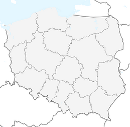
Chocznia - Leskowiec - Łamana Skała - Potrójna - Czarny Groń
difficile
Naviguer
Naviguer
Télécharge cette visite sur ton portable
Chocznia - Leskowiec - Łamana Skała - Potrójna - Czarny Groń
difficile
VTT
50,72
km
Scanner le code QR et commencer la navigation dans l'application bergfex

Randonnée & tracking


Chocznia - Leskowiec - Łamana Skała - Potrójna - Czarny Groń
difficile
Distance
50,72
km
Durée
05:36
h
Ascension
1 538
m
Altitude
305 -
921
m
Téléchargement de la piste
Chocznia - Leskowiec - Łamana Skała - Potrójna - Czarny Groń
difficile
VTT
50,72
km
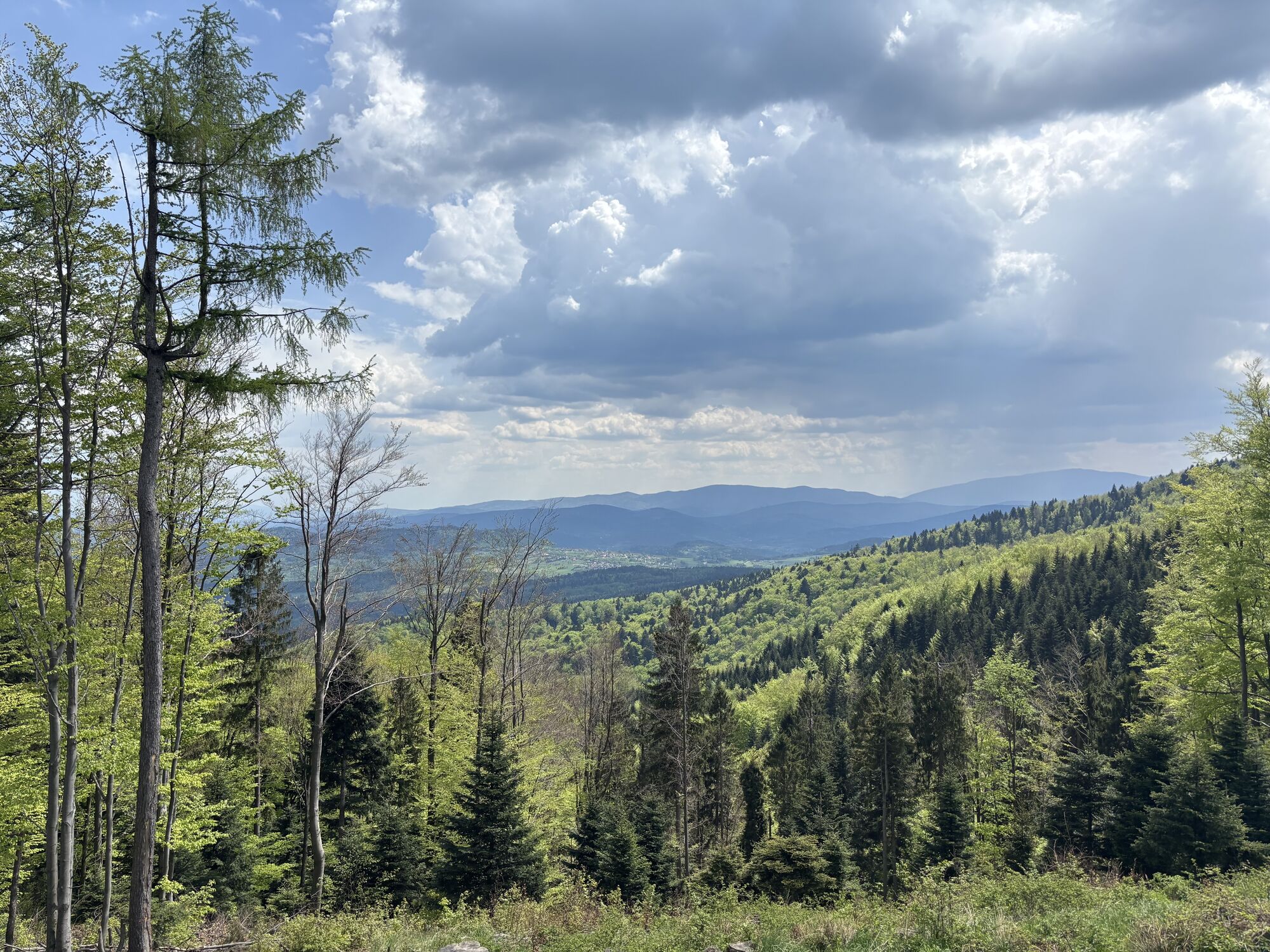
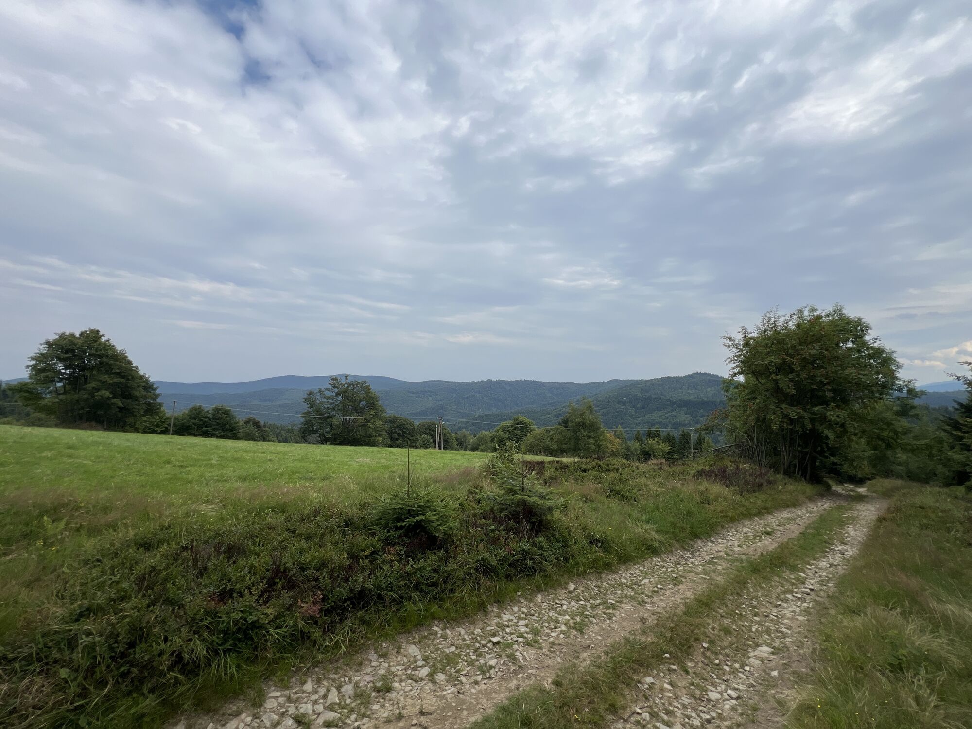
Parcours
Kaplica pw. Matki Bożej Częstochowskiej
(333 m)
Lieu de culte
3,3 km
Leskowiec
(922 m)
Sommet
13,0 km
Na Beskidzie
(863 m)
Sommet
16,0 km
Madohora
(910 m)
Sommet
17,9 km
Łamana Skała
(929 m)
Sommet
18,1 km
Potrójna - Czarny Groń
(888 m)
Sommet
22,6 km
Potrójna
(883 m)
Sommet
22,9 km
Parcours
Chocznia - Leskowiec - Łamana Skała - Potrójna - Czarny Groń
difficile
VTT
50,72
km
Chocznia Górna
(328 m)
Lotissement
3,1 km
Kaplica pw. Matki Bożej Częstochowskiej
(333 m)
Lieu de culte
3,3 km
Bryndzówka
(332 m)
Lotissement
3,3 km
Pod Lasem
(349 m)
Lotissement
3,8 km
Chomlówka
(353 m)
Lotissement
4,5 km
Za Wodą
(366 m)
Lotissement
5,1 km
Buldonówka
(375 m)
Lotissement
5,4 km
Buchałówka
(407 m)
Lotissement
6,2 km
Pasieka
(408 m)
Lotissement
6,3 km
Grzędzielówka
(441 m)
Lotissement
6,9 km
Kaczyna
(419 m)
Village
7,0 km
Gawędówka
(434 m)
Lotissement
7,1 km
Czoło
(775 m)
Sommet
10,4 km
Przełęcz pod Gancarzem
(735 m)
Selle de montagne
10,8 km
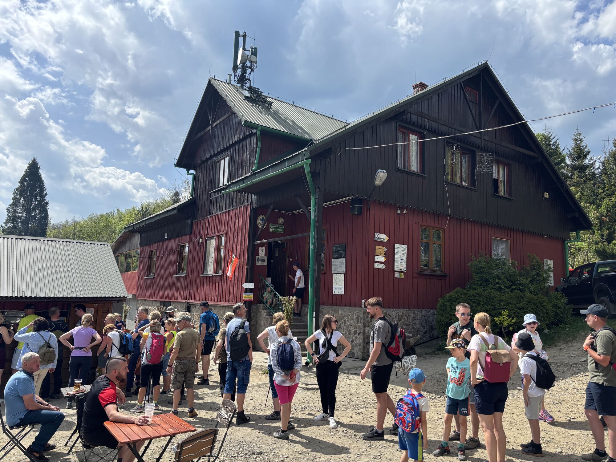
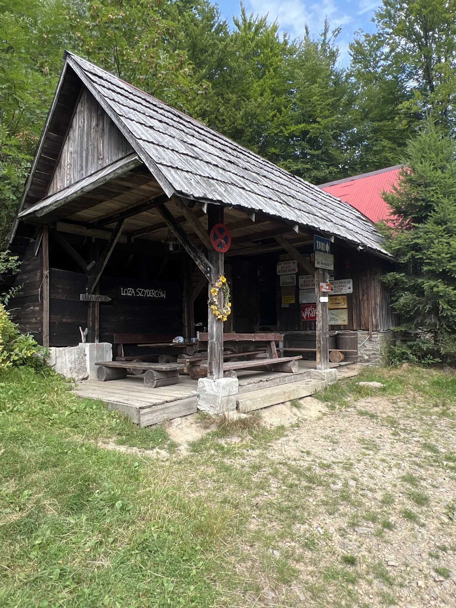
Schronisko pod Leskowcem
(880 m)
Lotissement
11,9 km
Schronisko PTTK Leskowiec
(860 m)
Refuge
12,2 km
Przełęcz Władysława Midowicza
(875 m)
Selle de montagne
12,4 km
Leskowiec
(922 m)
Sommet
13,0 km
Przełęcz Beskidek
(805 m)
Selle de montagne
14,5 km
Potrójna
(847 m)
Sommet
15,3 km
Na Beskidzie
(863 m)
Sommet
16,0 km
Madohora
(910 m)
Sommet
17,9 km
Łamana Skała
(929 m)
Sommet
18,1 km
Chatka pod Łamaną Skałą
(801 m)
Restaurant
19,0 km
Chatka pod Potrójną
(791 m)
Refuge
20,1 km
Przełęcz Zakocierska
(779 m)
Selle de montagne
21,0 km
Hatale
(848 m)
Lotissement
22,3 km
Potrójna - Czarny Groń
(888 m)
Sommet
22,6 km
Potrójna
(883 m)
Sommet
22,9 km
Kiczora
(746 m)
Sommet
25,0 km
Kiczora
(758 m)
Sommet
25,2 km
Roczenka
(735 m)
Sommet
26,1 km
Baciarska Hata
(731 m)
Restaurant
26,9 km
Korolówka
(742 m)
Lotissement
26,9 km
Osiedle Modrzewiowe
(565 m)
Quartier de la ville
29,0 km
Walaski
(546 m)
Lotissement
29,3 km
Nowa Wieś
(460 m)
Lotissement
30,1 km
Beskid
(461 m)
Lotissement
30,6 km
Bagna
(429 m)
Lotissement
32,1 km
Farówka
(405 m)
Lotissement
32,2 km
Targanice Górne
(413 m)
Lotissement
32,3 km
Targanice
(402 m)
Village
32,4 km
Koło Gościńca
(395 m)
Lotissement
33,0 km
Podgronie
(386 m)
Lotissement
33,6 km
Groszówka
(369 m)
Lotissement
34,3 km
Andrychów
(331 m)
Ville
36,1 km
Podolszyny
(359 m)
Lotissement
37,0 km
Sułkowice Środkowe
(380 m)
Lotissement
37,3 km
Hulakówka
(372 m)
Lotissement
38,2 km
Kocurówka
(378 m)
Lotissement
38,6 km
Szafarze
(391 m)
Lotissement
39,6 km
Osiedle Hajosty
(401 m)
Quartier de la ville
39,7 km
Tomiczki
(399 m)
Lotissement
39,9 km
Sabudy
(402 m)
Lotissement
40,3 km
Wawrzyny
(407 m)
Lotissement
40,5 km
Kiszczaki
(406 m)
Lotissement
40,6 km
Rzyki
(409 m)
Village
40,7 km
Szczęśniaki
(414 m)
Lotissement
40,8 km
Kaczyna
(419 m)
Village
44,0 km
Sordylówka
(417 m)
Lotissement
44,1 km
Kaplica pw. Świętej Małgorzaty
(396 m)
Lieu de culte
44,3 km
Pańkówka
(402 m)
Lotissement
44,6 km
Buldonówka
(375 m)
Lotissement
45,3 km
Za Wodą
(366 m)
Lotissement
45,6 km
Chomlówka
(353 m)
Lotissement
46,1 km
Pod Lasem
(349 m)
Lotissement
46,8 km
Bryndzówka
(332 m)
Lotissement
47,3 km
Kaplica pw. Matki Bożej Częstochowskiej
(333 m)
Lieu de culte
47,3 km
Chocznia Górna
(328 m)
Lotissement
47,5 km
Pas encore d'évaluation
Parcours populaires à proximité
-
Bazylika Ofiarowania Najświętszej Maryi Panny - Groń Jana Pawła II - Leskowiec - Kościół pw. Narodzenia Świętego Jana Chrzciciela w Ślemieniu
Chemin de pèlerinage 26,4 km -
Rzyckowo - Groń Jana Pawła II - Leskowiec - Jamnik
moyenRandonnée 13,7 km -
Rzyckowo - Groń Jana Pawła II - Leskowiec - Rzyki
moyenRandonnée 12,3 km -
Ponikiew - Schronisko PTTK Leskowiec - Leskowiec - Rzyki
moyenRandonnée 6,47 km -
Rzyckowo - Schronisko PTTK Leskowiec - Leskowiec - Przełęcz Władysława Midowicza
moyenRandonnée 11,0 km -
Jamnik - Leskowiec - Łamana Skała - Rzyki
difficileRandonnée 22,8 km -
Przełęcz Biedaszowska - Przykraźń - Gancarz - Groń Jana Pawła II
difficileRandonnée 19,0 km -
Beskid - Żmijowa - Przełęcz Carhel - Pluchowa
difficileFaire du vélo 34,1 km -
Ruski - Kolędówka - Jałowiec - Lachów Groń
difficileVTT 51,2 km -
Bazylika Matki Bożej Anielskiej - Żar - Jaroszowicka Góra - Bazylika Ofiarowania Najświętszej Maryi Panny
Chemin de pèlerinage 21,4 km

Randonnée et suivi

Plus de 550.000 propositions de circuits, des cartes détaillées et un planificateur d'itinéraire intuitif font de cette application un must pour tous les passionnés de nature.

Ne manquez pas les offres et l'inspiration pour vos prochaines vacances
S'inscrire à la newsletter
Erreur
Une erreur s'est produite. Veuillez réessayer.
Merci pour votre inscription
Votre adresse électronique a été ajouté à la liste de diffusion.
Parcours en Europe
Autriche
Suisse
Allemagne
Italie
Slovénie
France
Pays-Bas
Belgique
Pologne
Liechtenstein
République tchèque
Slovaquie
Espagne
Croatie
Bosnie-Herzégovine
Luxembourg
Andorre
Portugal
Islande
Royaume-Uni
Irlande
Grèce
Albanie
Macédoine du Nord
Malte
Norvège
Monténégro
Moldavie
Kosovo
Hongrie
Saint-Marin
Roumanie
Estonie
Lettonie
Bélarus
Chypre
Lituanie
Serbie
Bulgarie
Monaco
Danemark
Suède
Finlande