


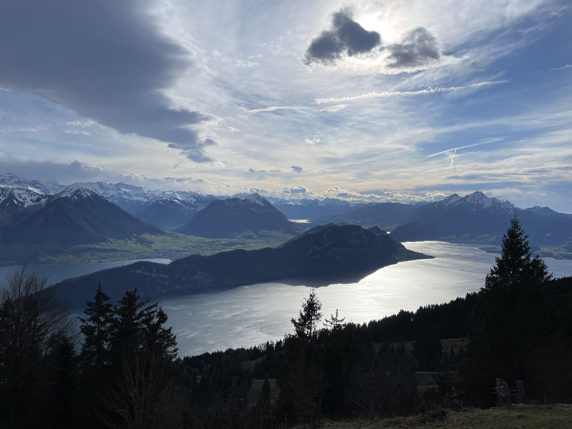
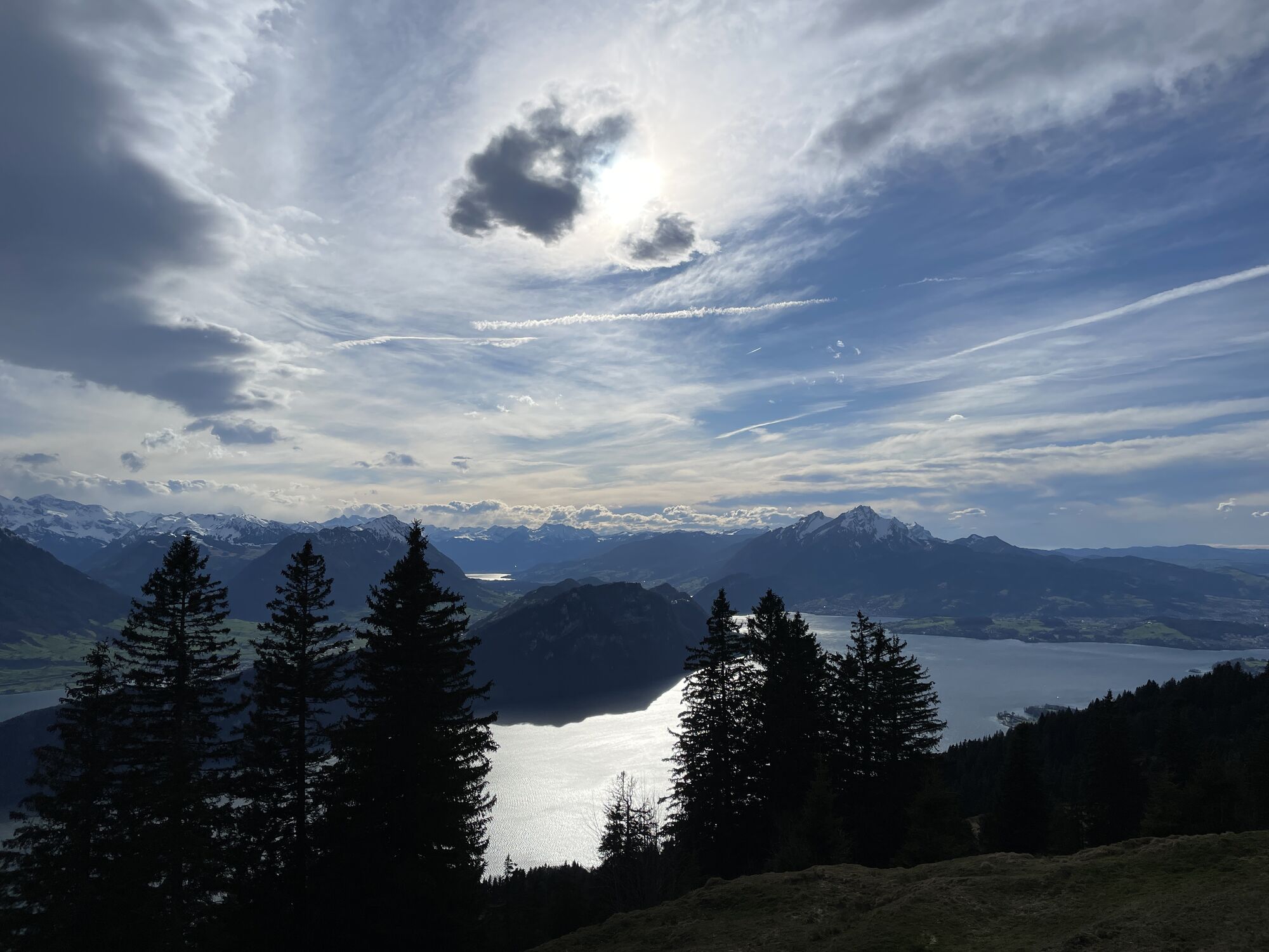
The Rigi First loop road
The easy walk leads you from the village square Kaltbad to Rigi First. On the flat and very easy walkway with a magnificent view of Lake Lucerne, the reformed mountain church by Zurich architect Ernst...
The easy walk leads you from the village square Kaltbad to Rigi First. On the flat and very easy walkway with a magnificent view of Lake Lucerne, the reformed mountain church by Zurich architect Ernst Giesel and the typical snow-covered "Nagelfluh" walls deserve special attention. From the First sun terrace, the idyllic upper First Trail leads back to Kaltbad. An enjoyable round trip without any strain.
For your information
You can find the current operating status of the railways and hiking trails here.
In order to let our next generation also inspired from the Queen of the Mountains, may we ask you to dispose of the waste at Rigi Stations. Thank you.
.
Rigi Kaltbad (1436 m) - Rigi First (1453 m) - Rigi Kaltbad (1436 m)
High profiled hiking boots or trakking boots, rain jacket, drink, food and walking sticks when possible.
Please always follow the marked winter hiking trails.
A4 highway - exit Küssnacht - direction "Weggis - Vitznau"
A4 highway - exit Brunnen - direction "Vitznau - Weggis"
Rigi Kaltbad, the starting point of this hike, is easily accessible from Vitznau by cogwheel railway or cable car from Weggis.
At all Rigi valley stations you will find parking spaces at a fee.
Further information on parking
However, we recommend you to arrive by public transportations instead of cars: just lean back, enjoy and do something good for the environment.
A stay in the Mineralbad & Spa Rigi Kaltbad to end up the hike relaxingly is highly recommended.
Parcours populaires à proximité
-
4,7
Stanserhorn
facileRandonnée 17,9 km -
3,9
Rundweg Seebodenalp Küssnacht am Rigi, Schweiz
moyenRandonnée 9,56 km -
4,4
Seebodenalp Panoramaweg
facileRandonnée 5,25 km -
3,9
Gnipen - ab Goldau - Rundwanderung
moyenRandonnée 10,6 km -
4,8
Rigi Kulm von Vitznau aus
moyenRandonnée 17,6 km -
5,0
Morschach-Fronalpstock-Stoss, Schweiz
moyenRandonnée 16,6 km -
4,7
Wildspitz bei Sattel-Aegeri
facileRandonnée 12,9 km -
4,8
Home-Rigi Kulm-Home
moyenRandonnée 18,6 km -
5,0
Zugerberg - via Blasenberg - Rundwanderung
facileRandonnée 9,44 km -
5,0
Kleine Rigi Runde🥾🏔
moyenRandonnée 14,0 km
Randonnée et suivi


Ne manquez pas les offres et l'inspiration pour vos prochaines vacances
Votre adresse électronique a été ajouté à la liste de diffusion.