







Stoos - Fronalpstock

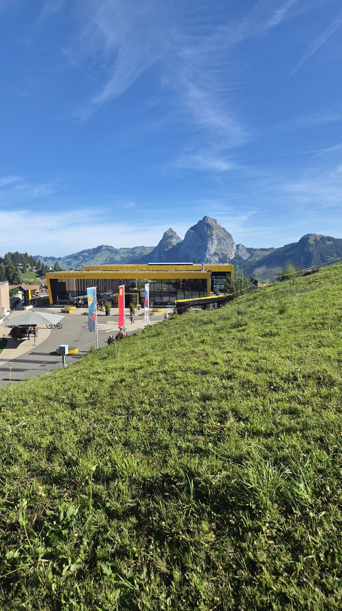
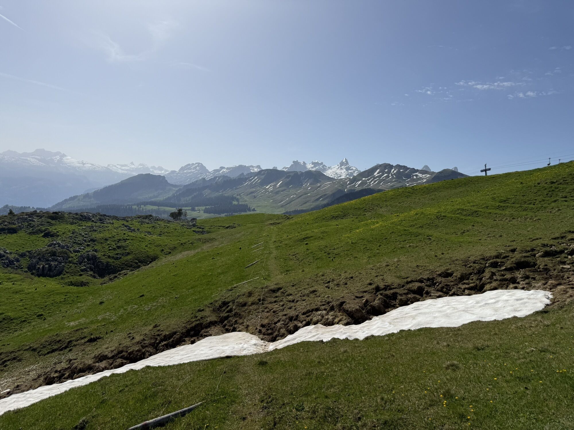
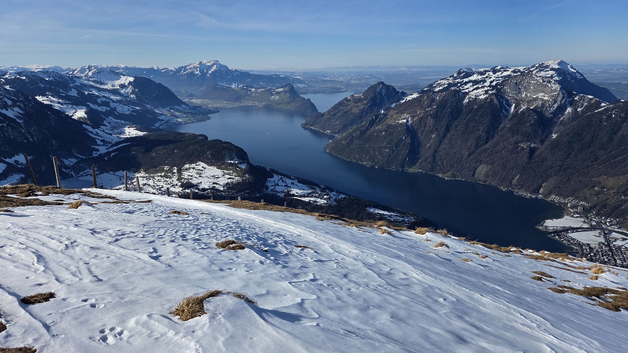
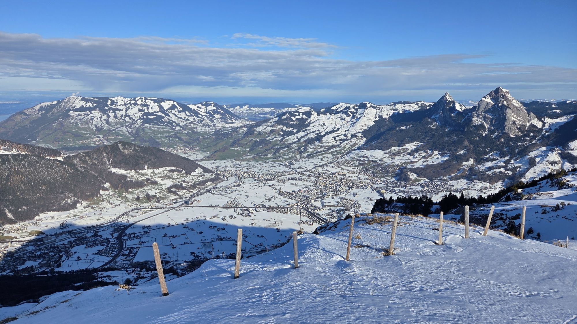
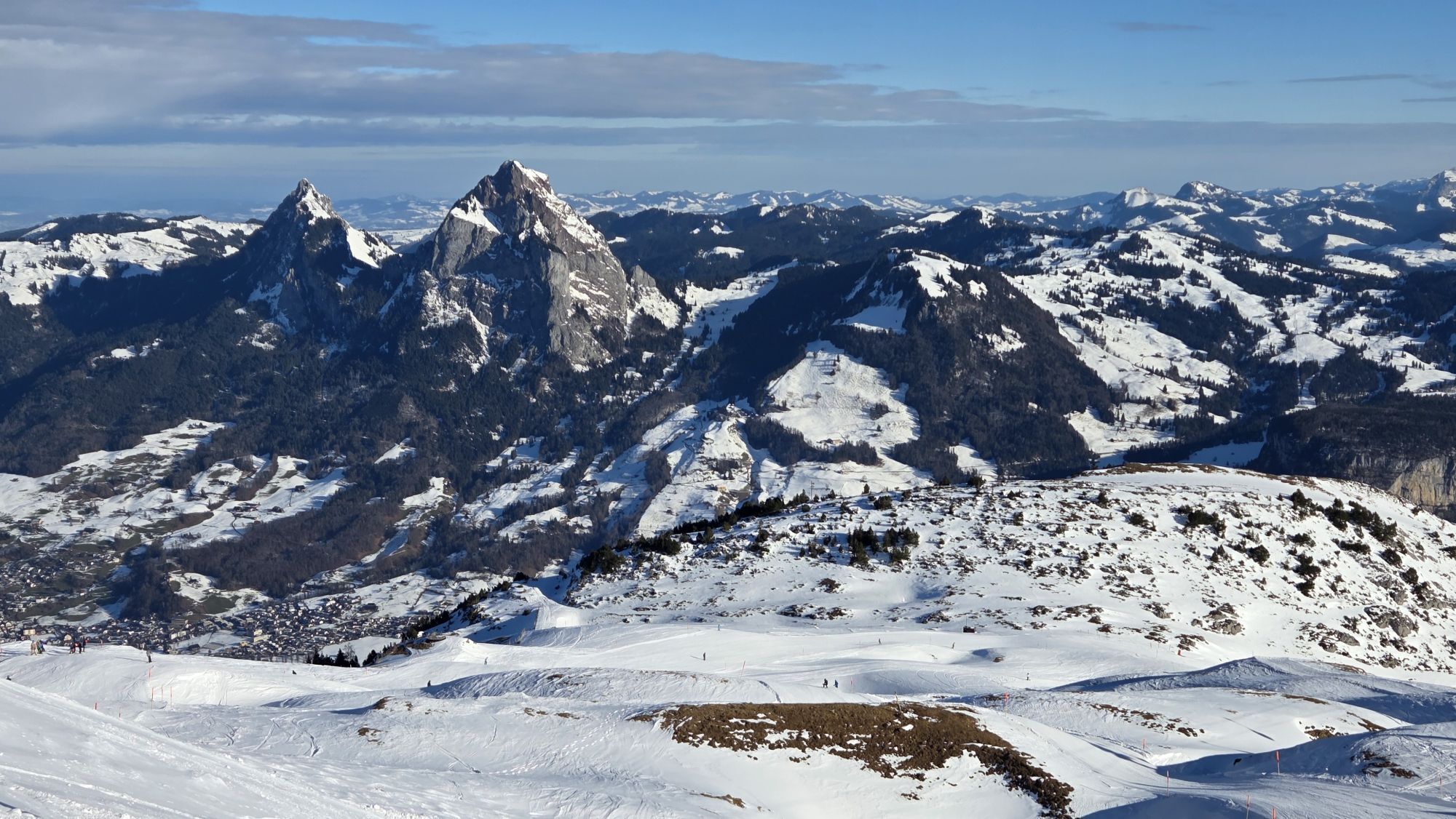
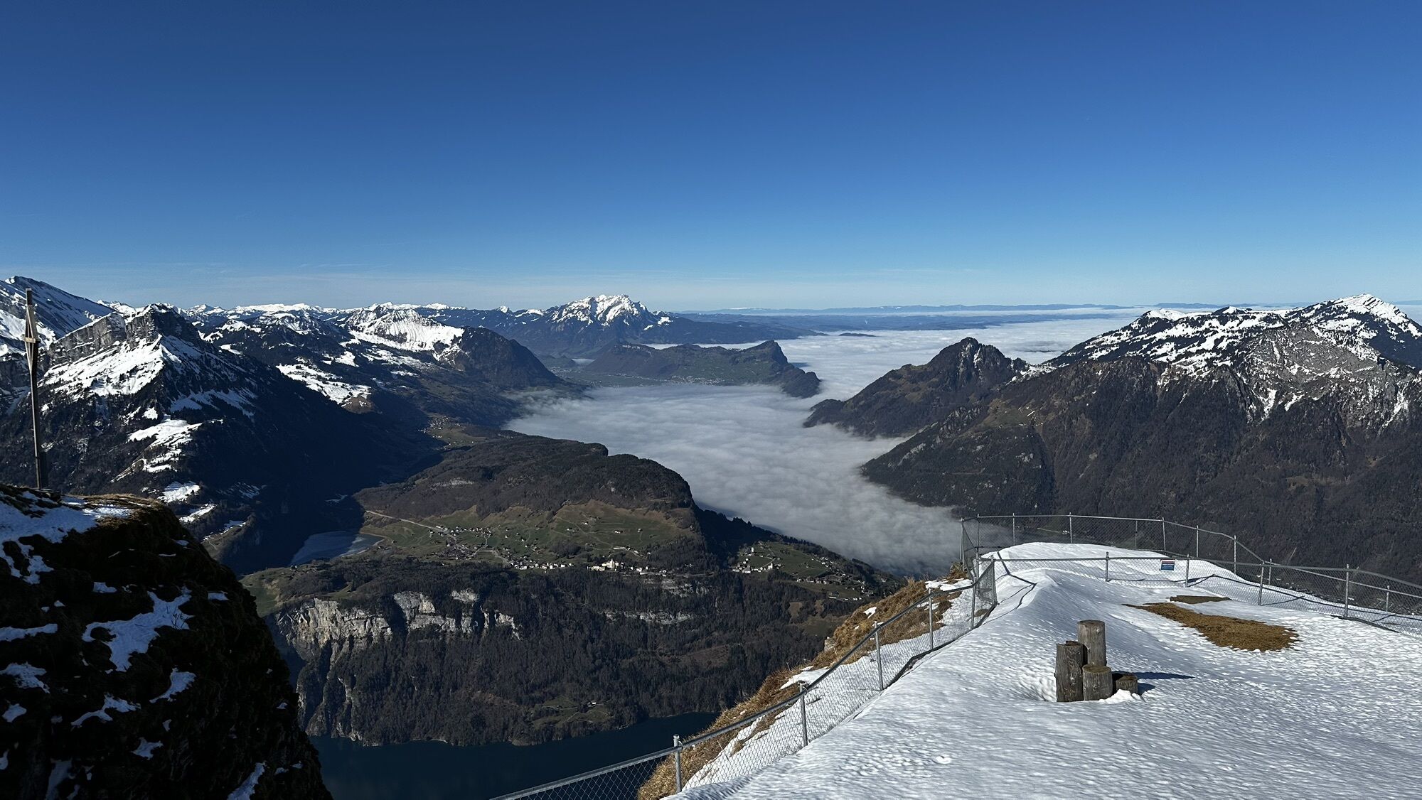
From the top station of the funicular railway to the crossroads and turn right along the Ringstrasse to Stoos-Seeli. Follow the gravel road via Frontal to the upper Frontal hut. Continue along the road...
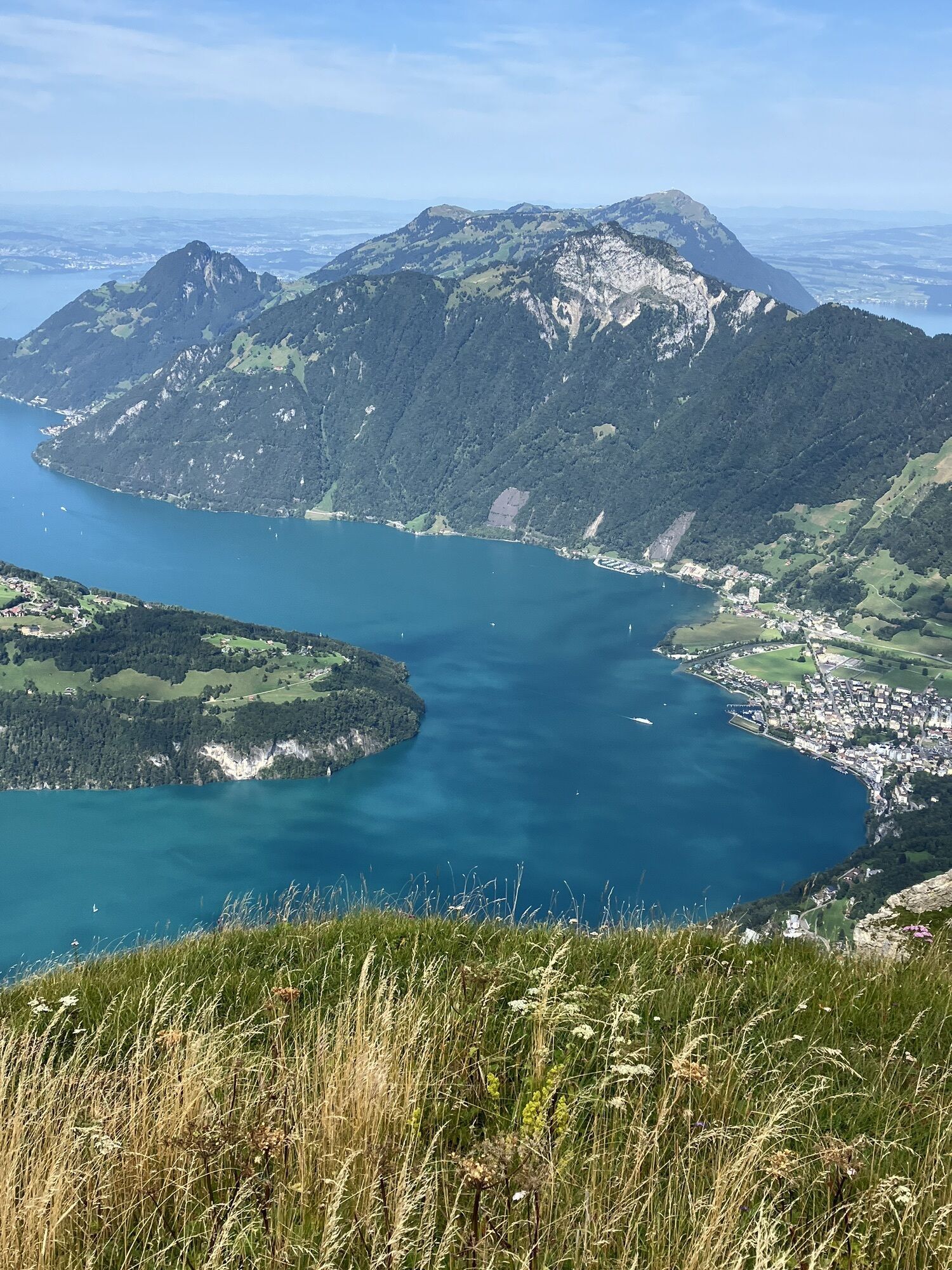
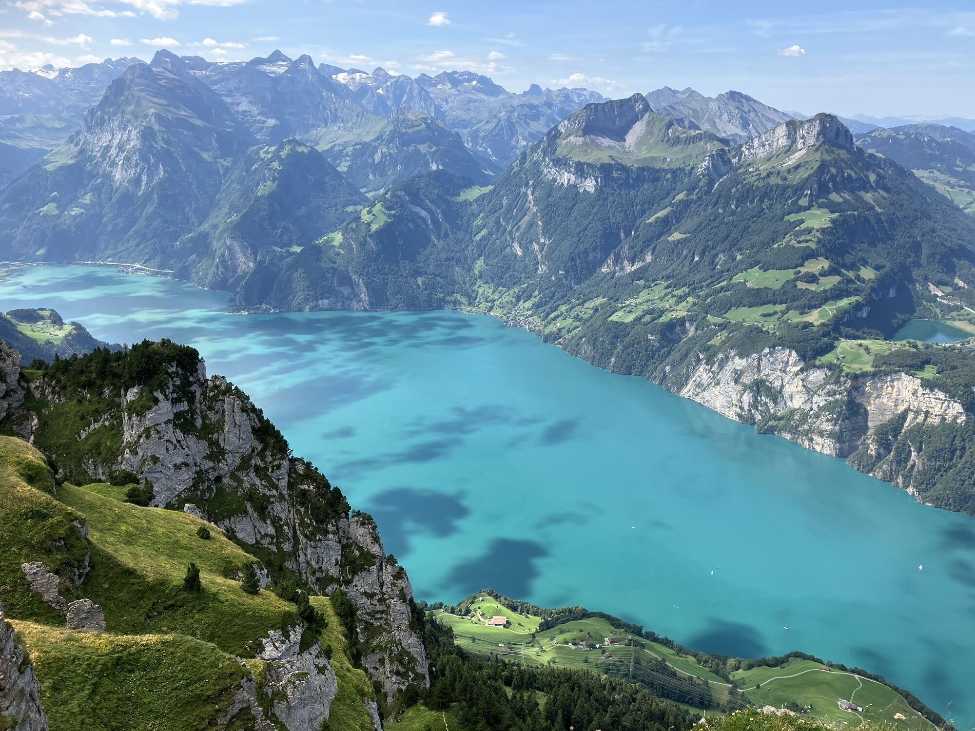
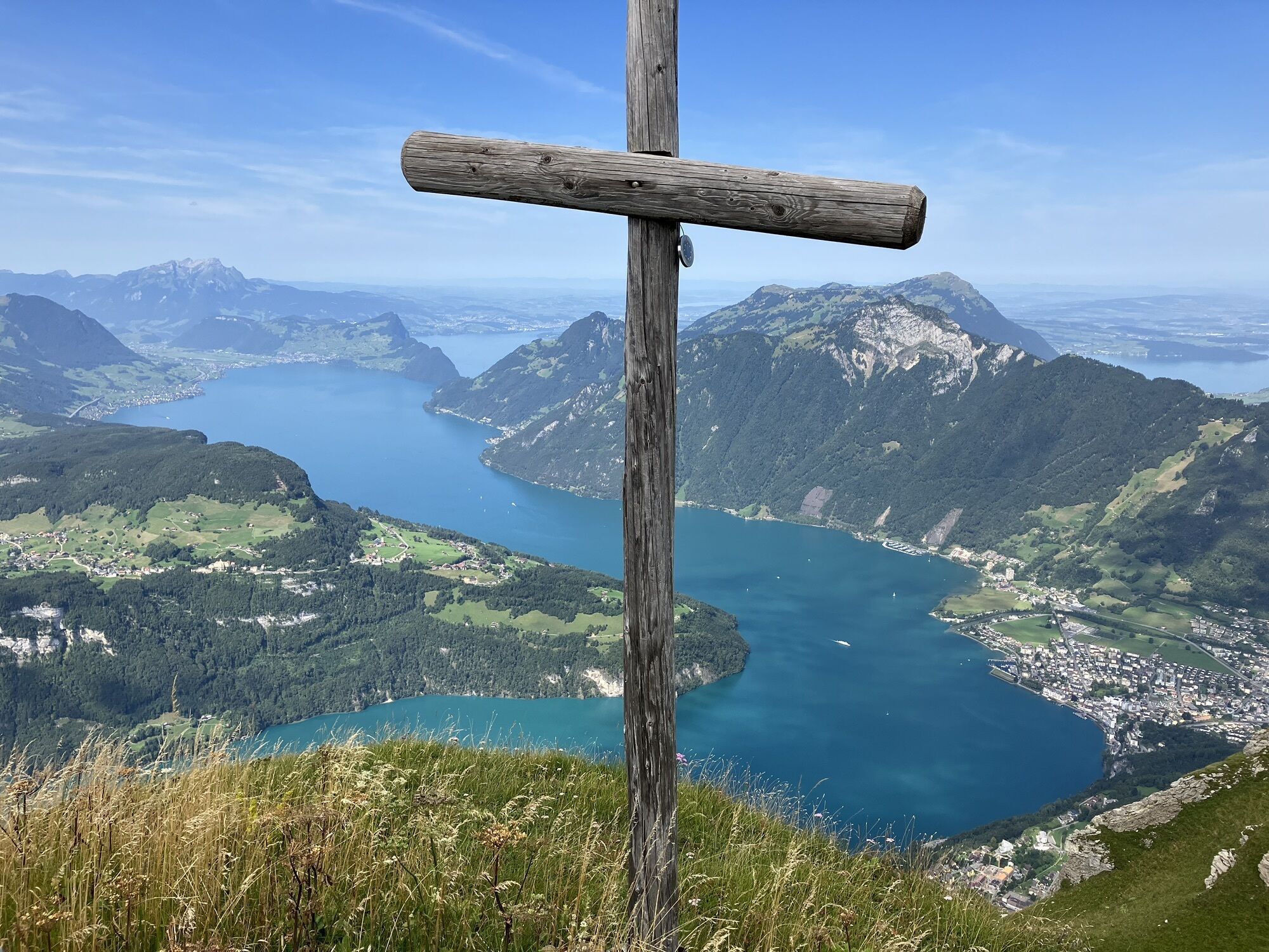
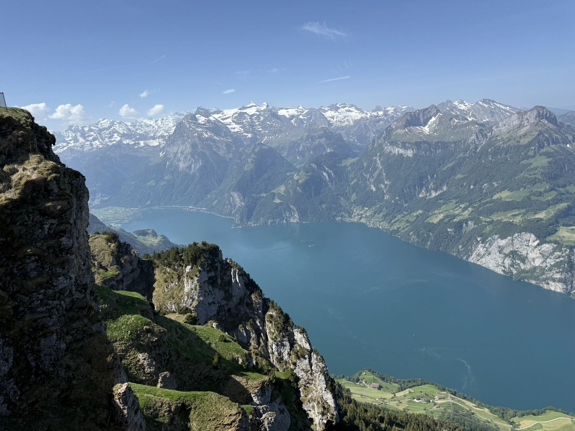
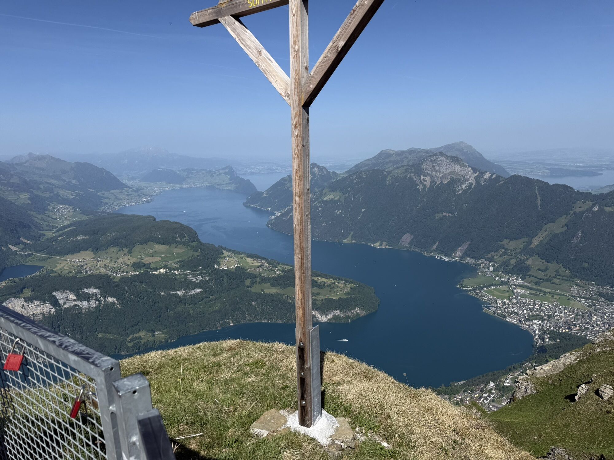
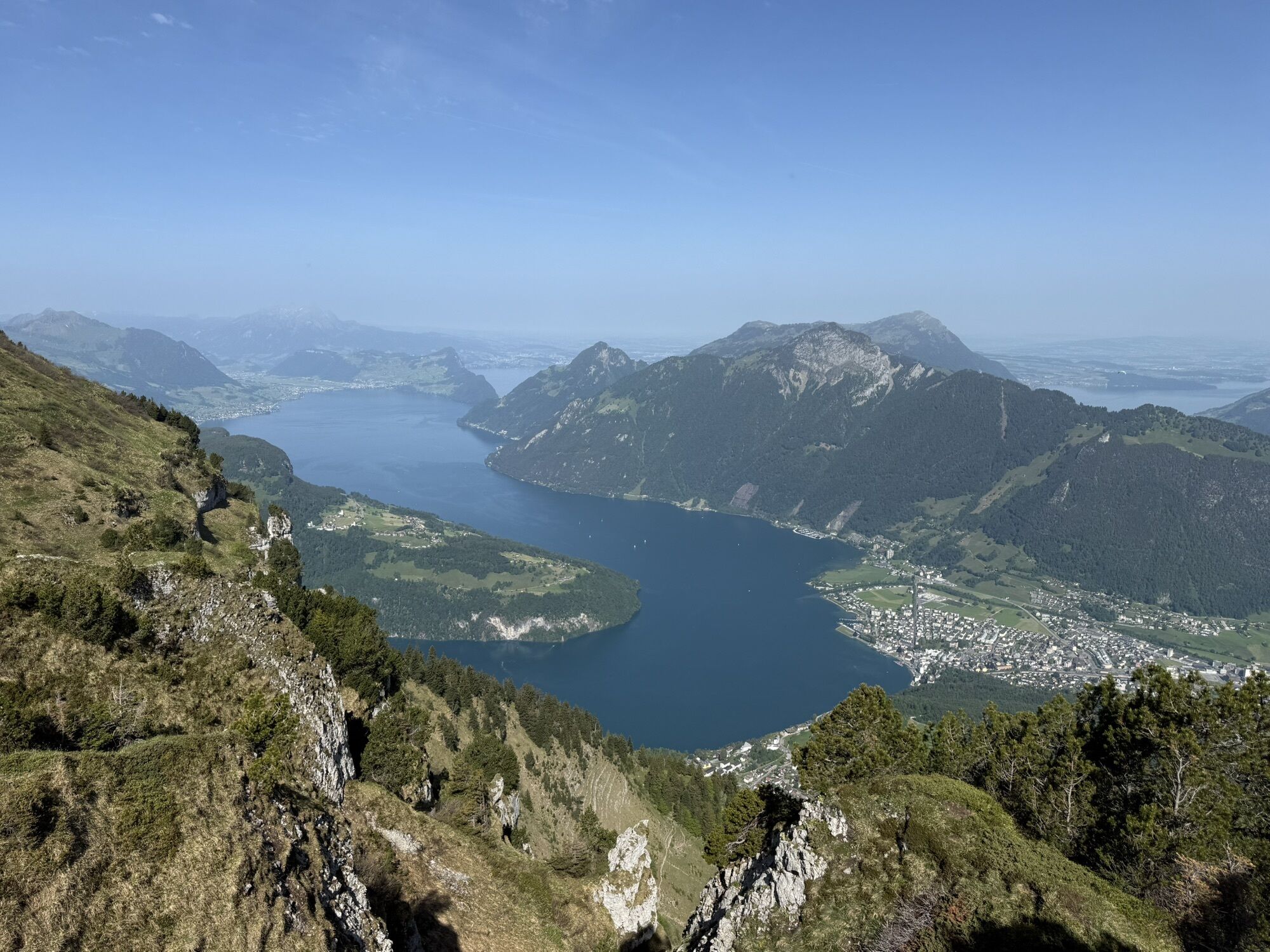
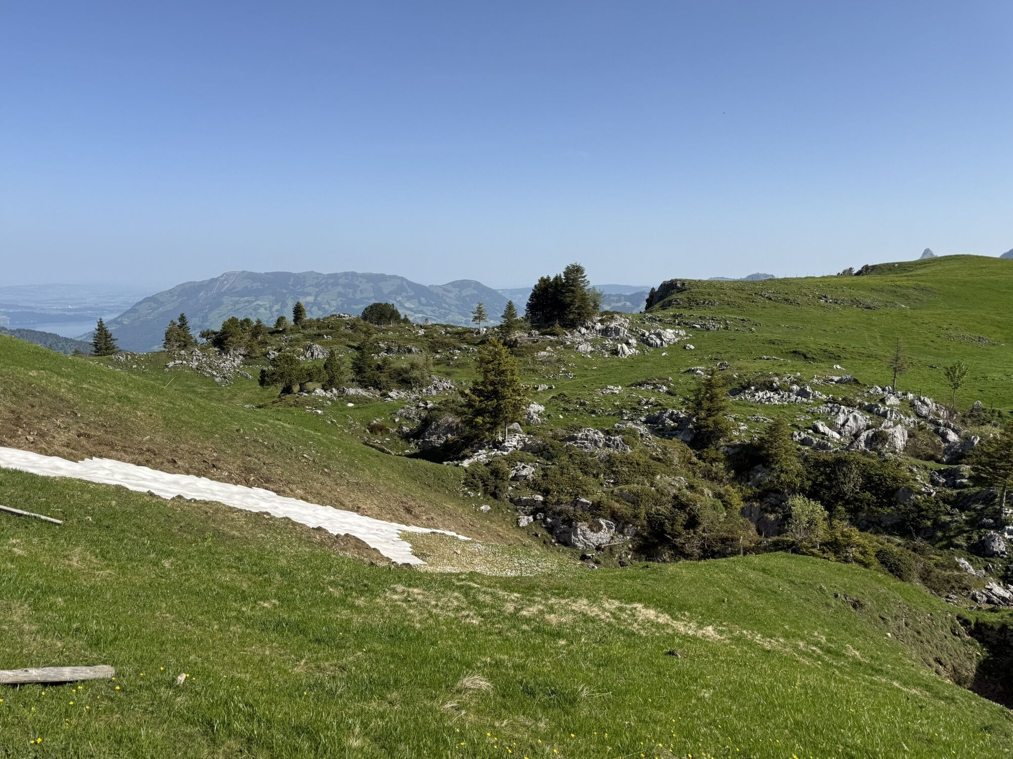
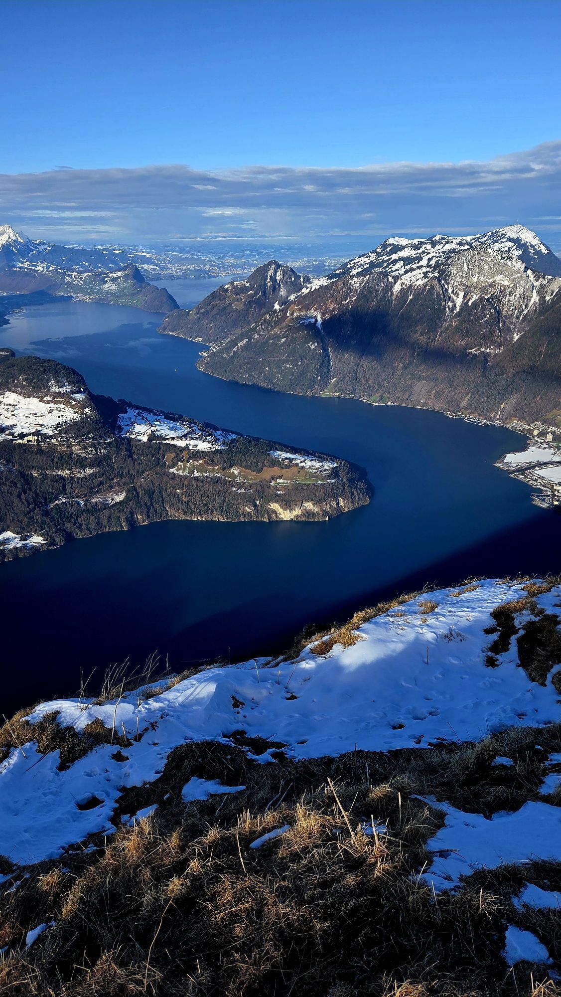
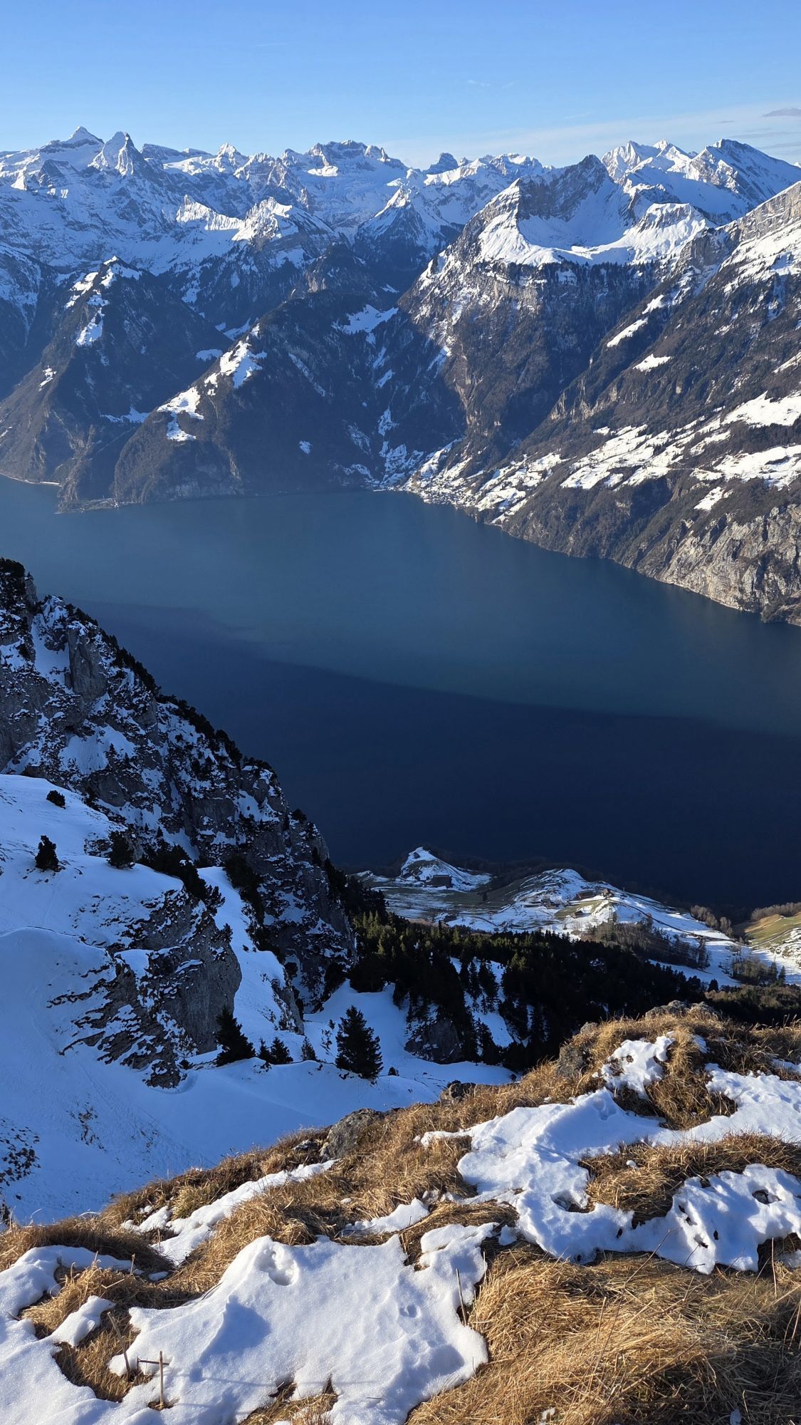
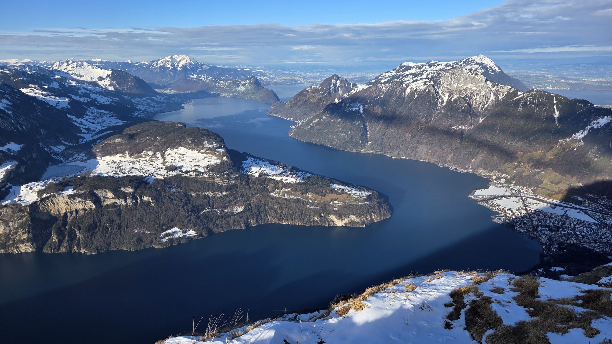
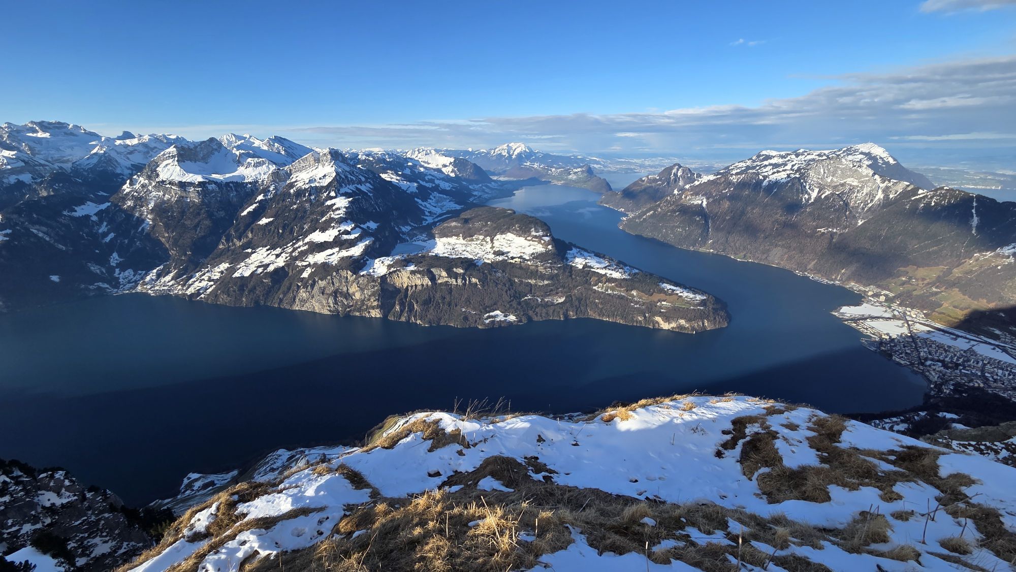
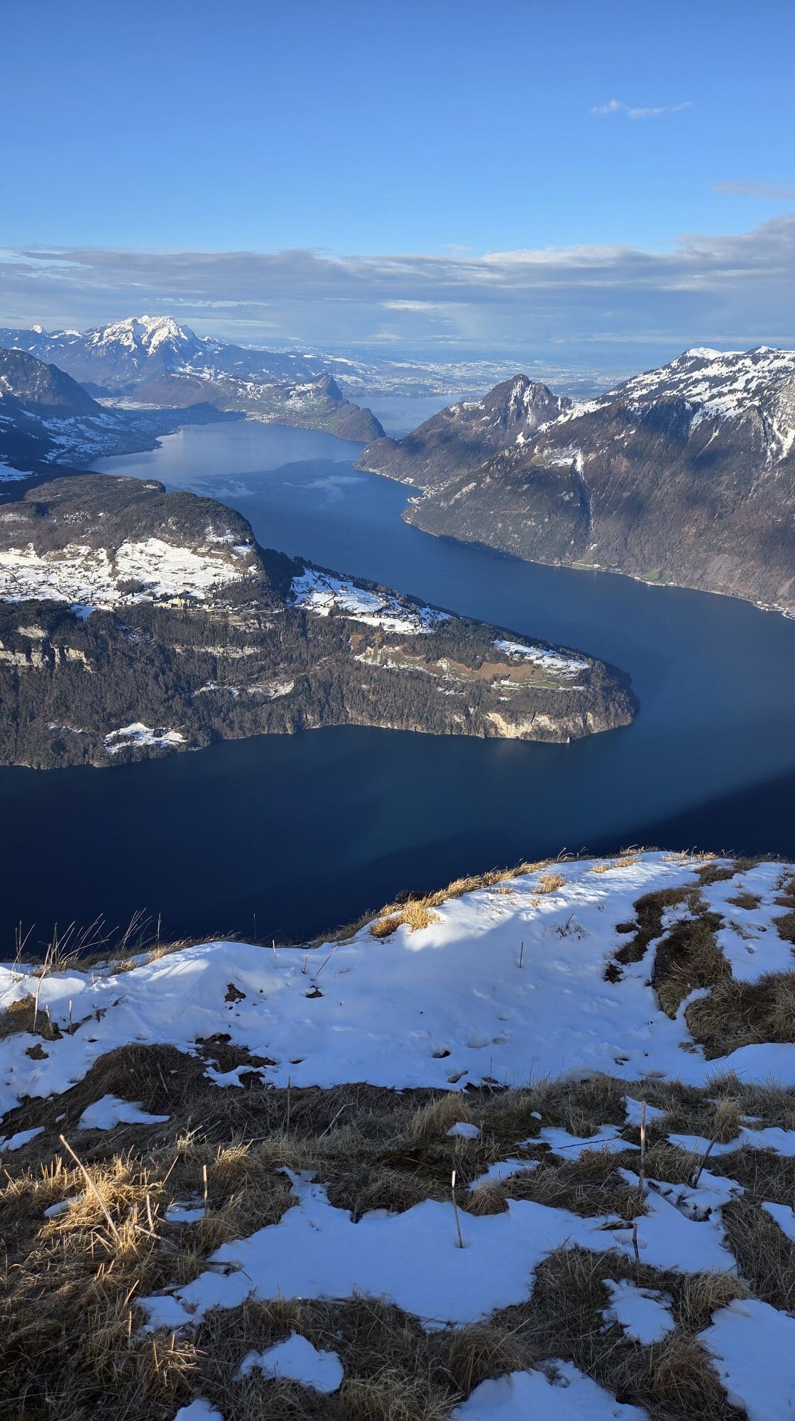
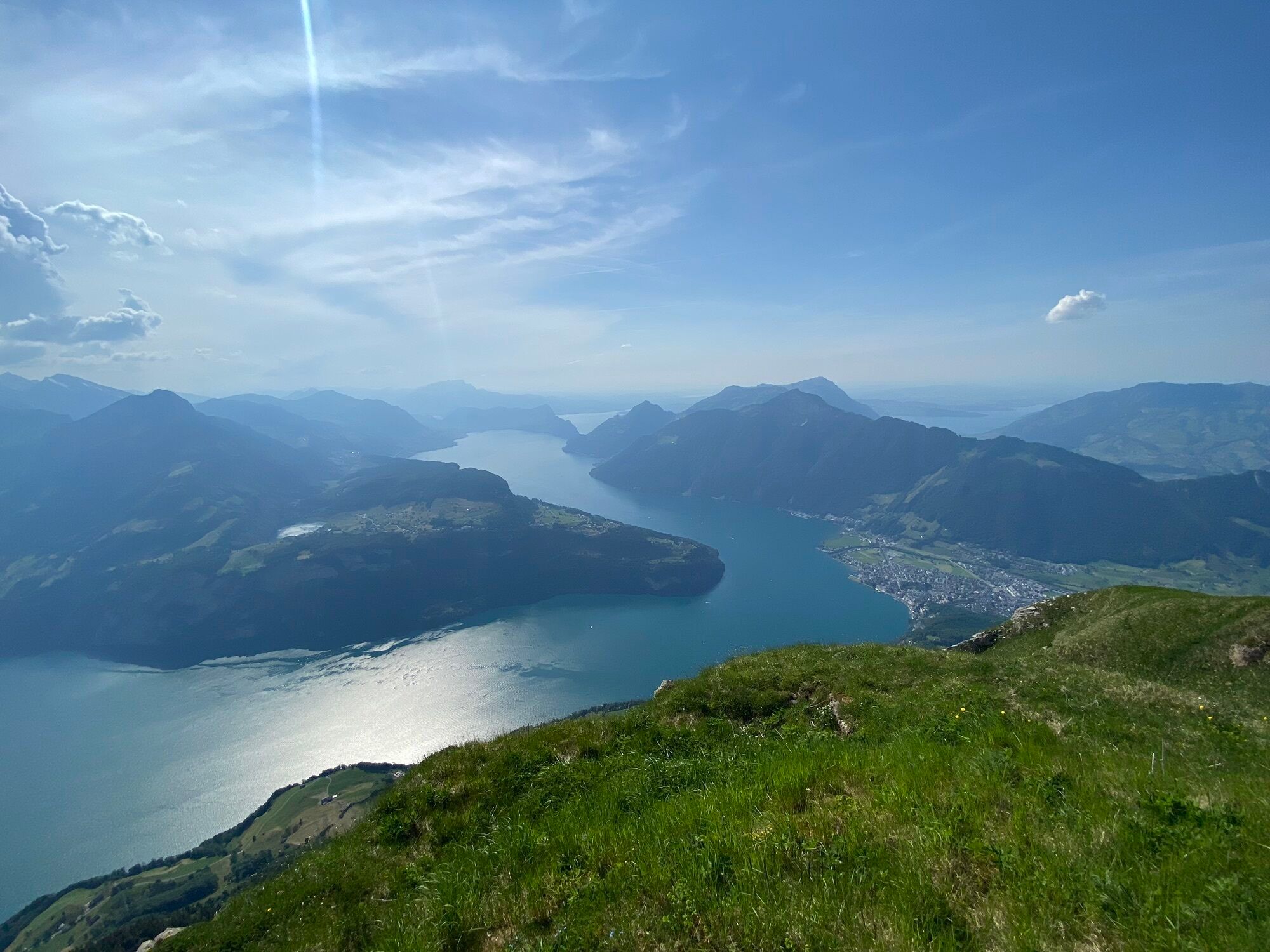
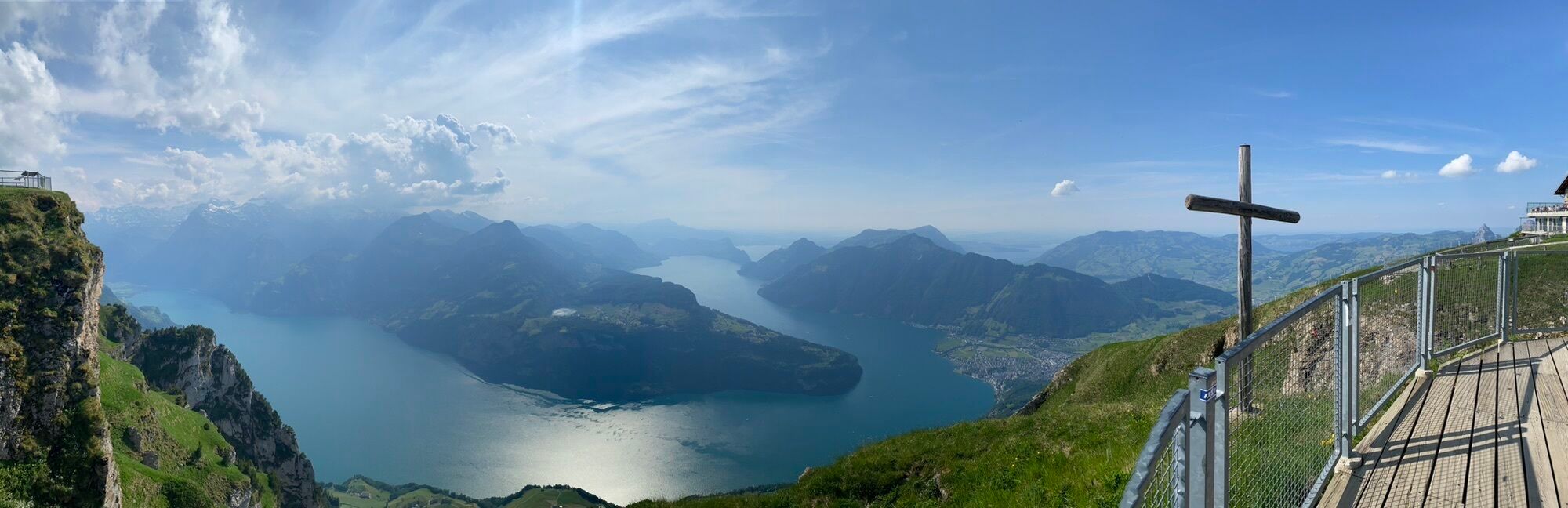
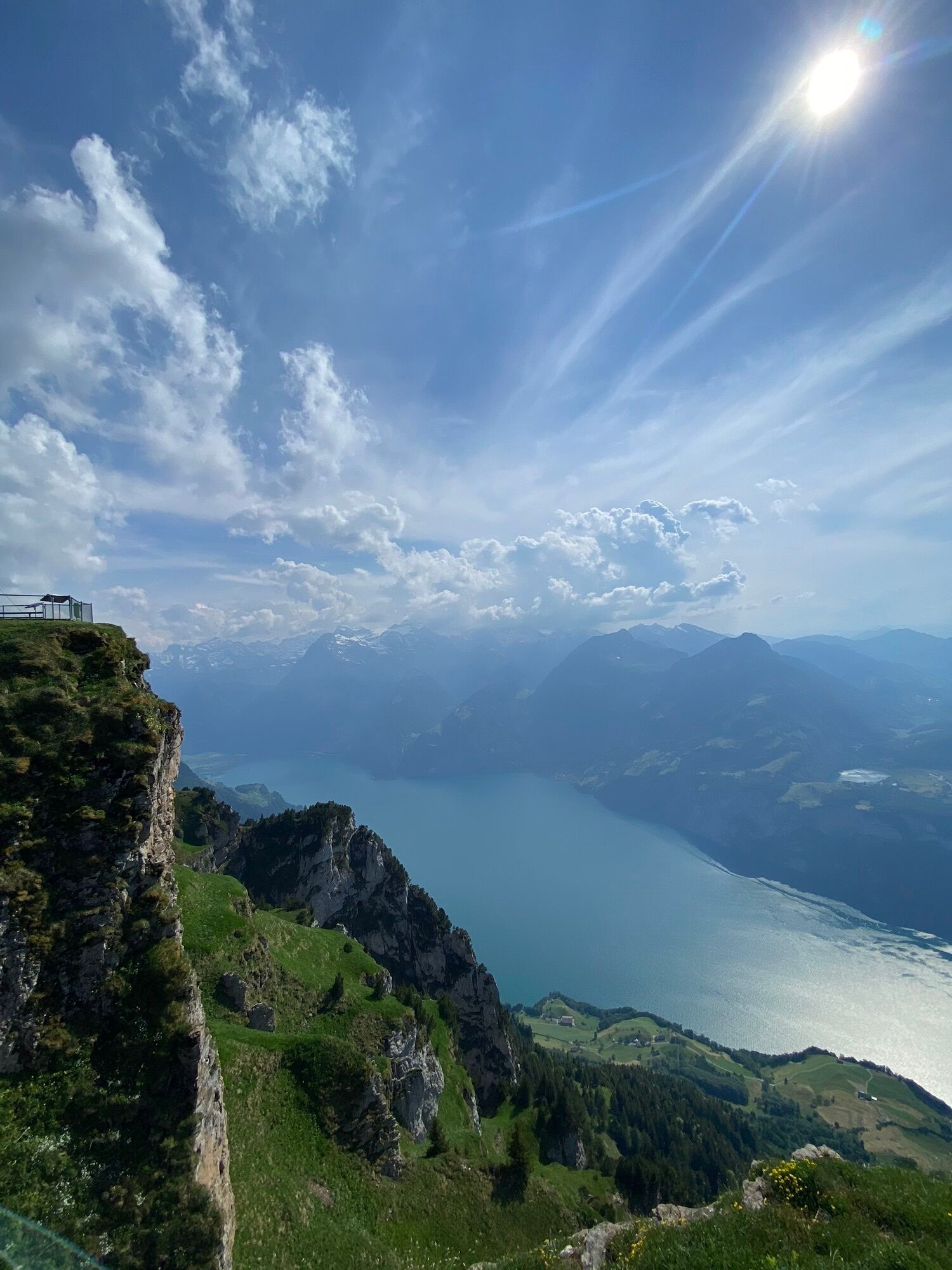
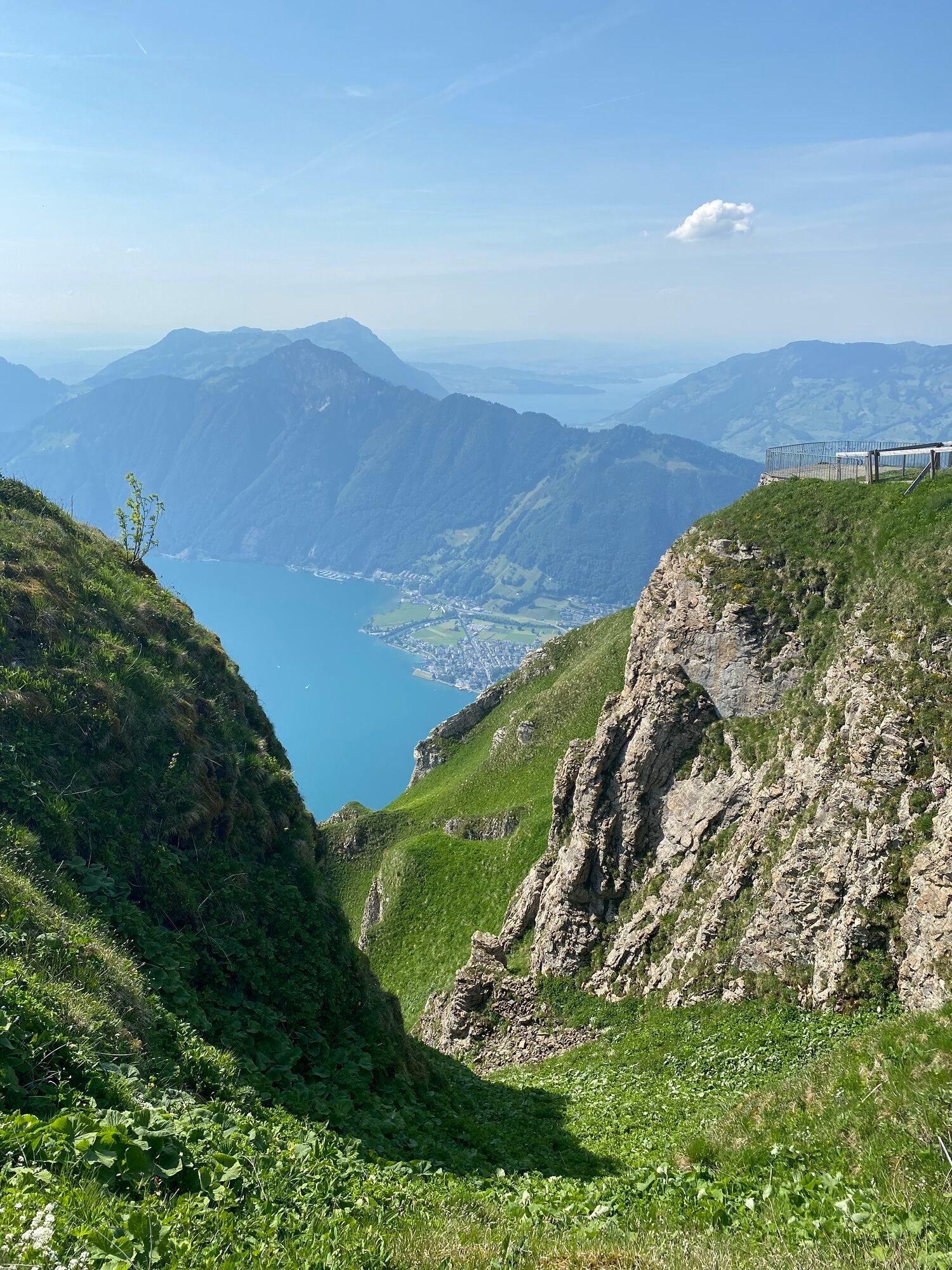
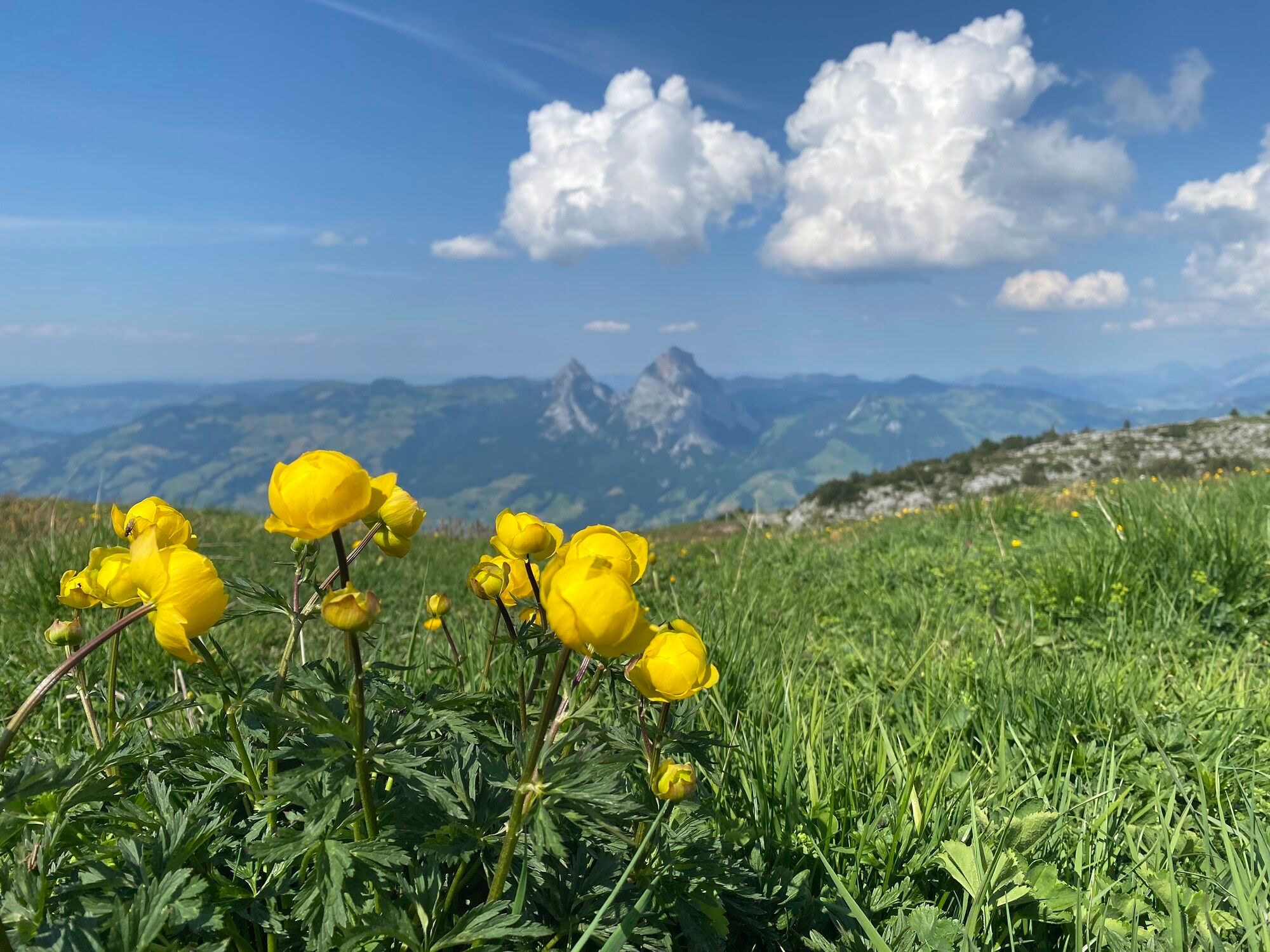
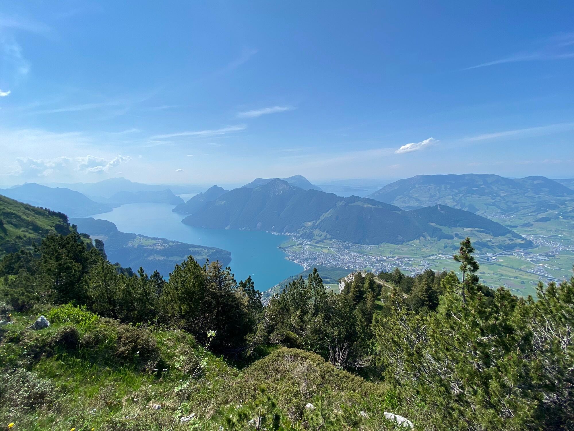
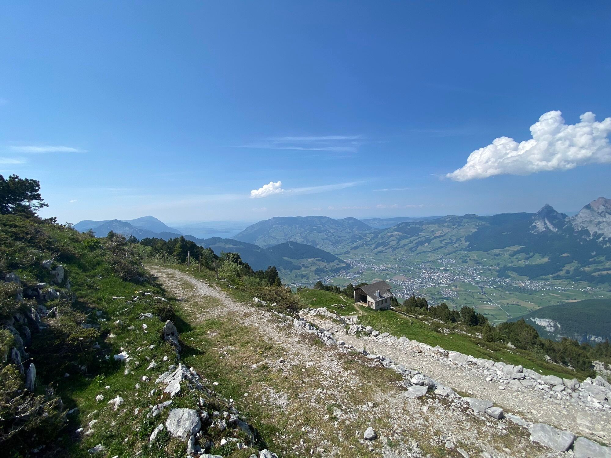
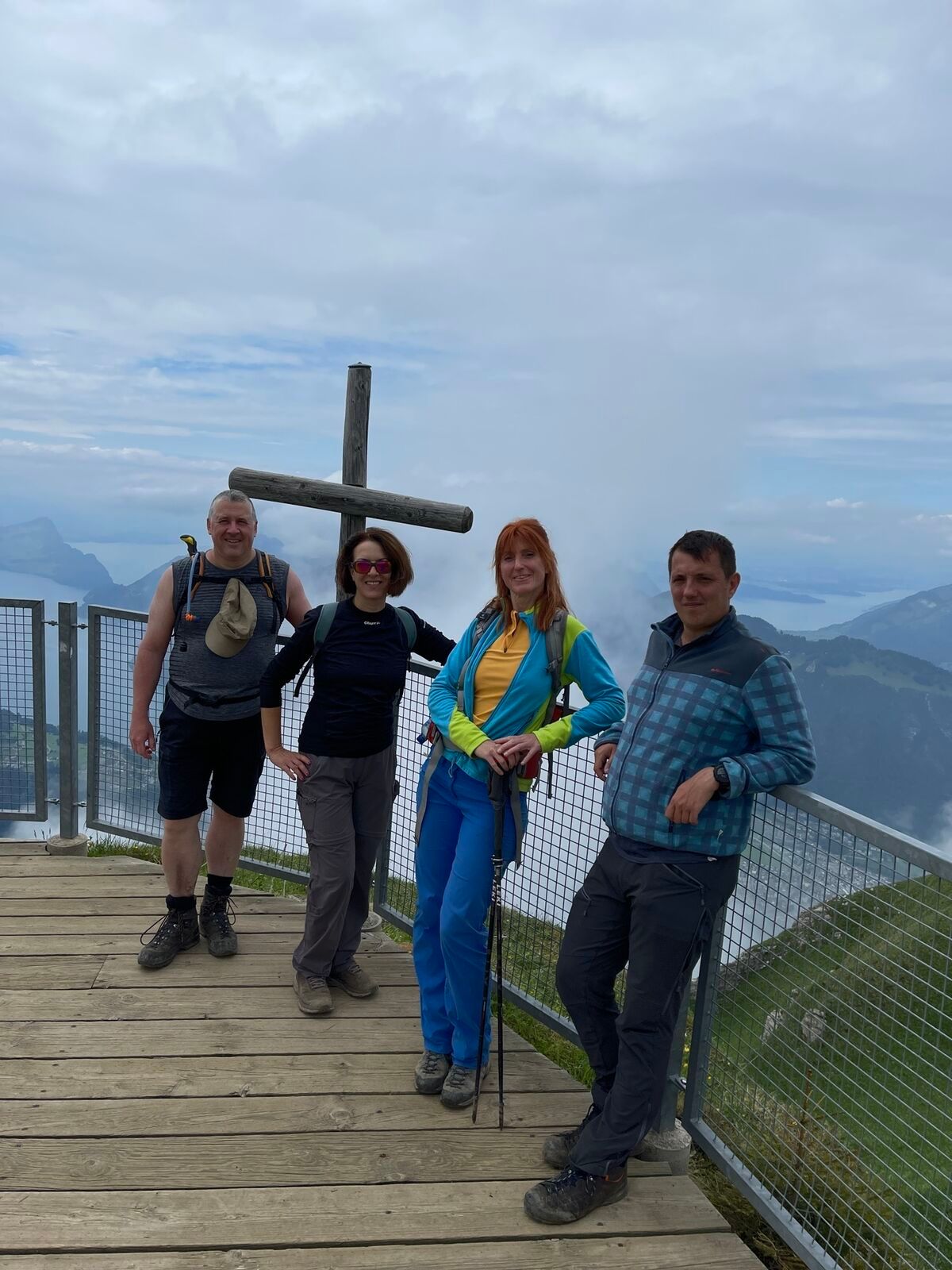
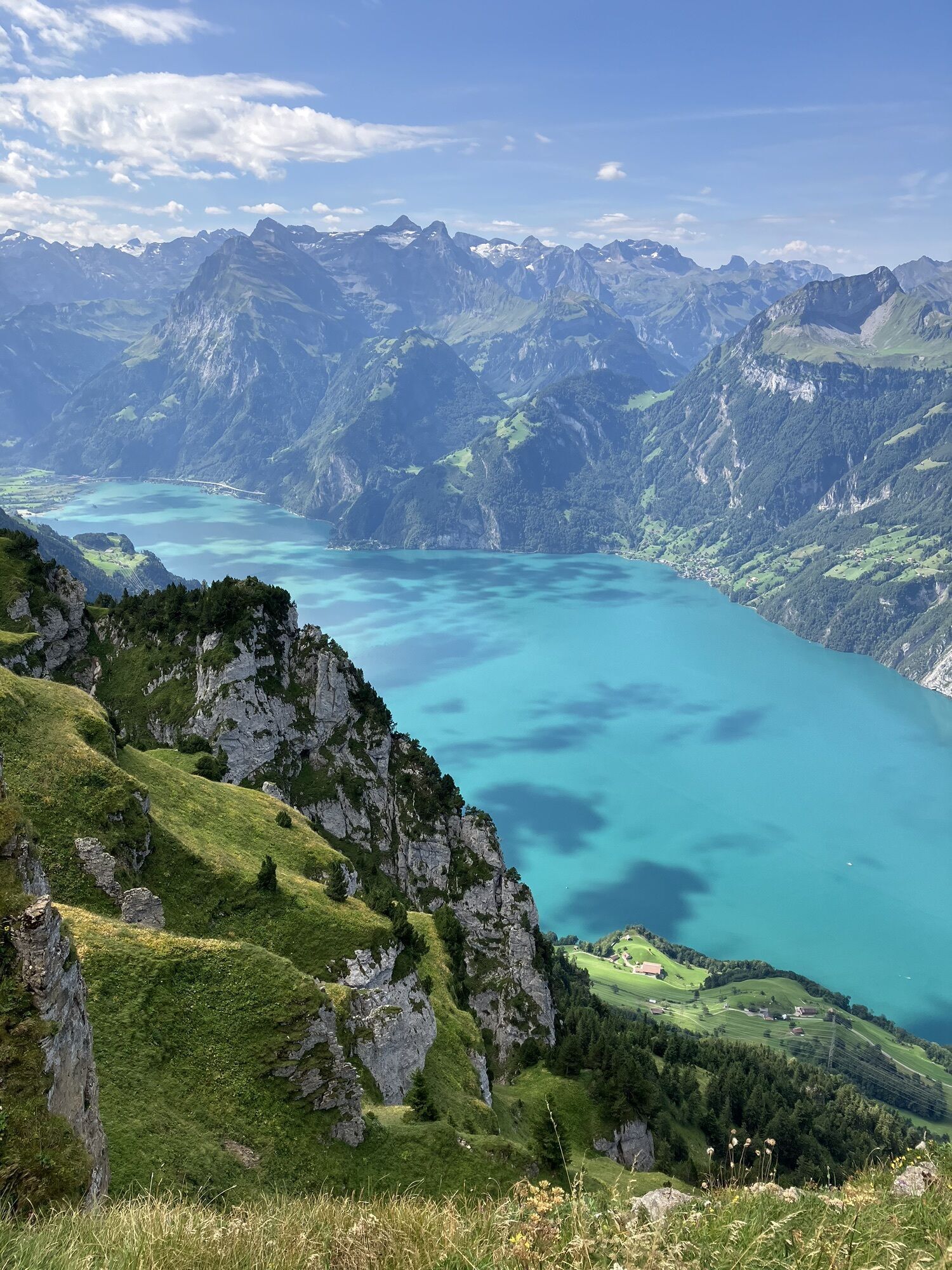
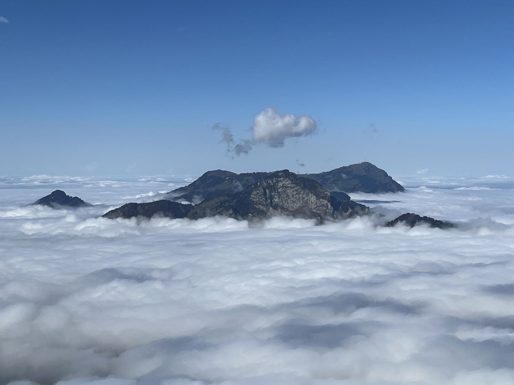
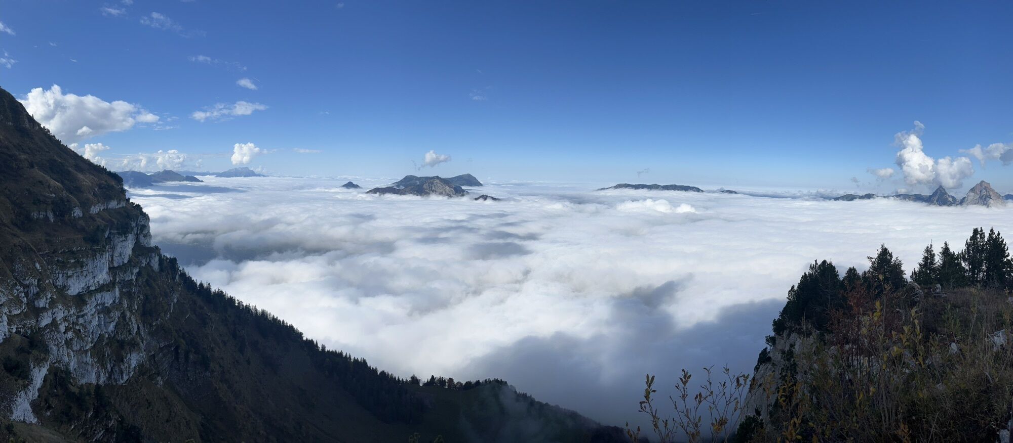
From the top station of the funicular railway to the crossroads and turn right along the Ringstrasse to Stoos-Seeli. Follow the gravel road via Frontal to the upper Frontal hut. Continue along the road until you reach the alpine restaurant Laui. Continue via Bödmeren, Oberfeld to the Fronalpstock summit at 1922 m above sea level.On the Fronalpstock you can enjoy the fantastic panorama over ten lakes and countless mountain peaks from the sunny terrace of the unique summit restaurant.Return to the starting point downhill via Charenstöckli, Welesch to the mountain village of Stoos at 1300 m above sea level.

Stoos - Frontal - Obere Fronalphütte - Alp Laui - Alp Bödmeren - Oberfeld - Fronalpstock - Charenstöckli - Welesch - Stoos
Im Regio Shop an der Talstation der Standseilbahn sind Schwyzer Wanderkarten vorhanden:
Zum Webshop
Hiking boots with a good profile or trekking boots, rain jacket, drink, food, possibly sticks.
Please walk along the marked and secured hiking routes.
By car on the A4 to the Schwyz exit, then in the direction of Muotathal to the valley station of the large Schwyz-Stoos funicular or by car turn onto Morschacherstrasse (at Wolfsprung), then follow the signs to Morschach and continue to the valley station of the small Morschach-Stoos aerial cableway.
By train to Schwyz-Seewen station, then by bus to the valley station of the large Schwyz-Stoos funicular (line 1 Schwyz - Muotathal) or by train to SBB Brunnen station, then by bus to the valley station of the small Morschach-Stoos aerial cableway.
Parking is available at the valley station of the Schwyz-Stoos funicular and the Morschach-Stoos aerial cableway.
Stop for a bite to eat in the Laui alpine restaurant with its fine cheese slices.
Frönelis Geissli playground & petting zoo on the Fronalpstock.
Webcams de la tournée

Activités le long du parcours


Parcours populaires à proximité
-
5,0
Stoos - Klingenstock (via Sessellift) - Huser Stock - Fronalpstock - Stoos
facileRandonnée 11 km -
4,6
Gratwanderung Klingenstock
facileRandonnée 9,36 km -
4,3
Mythenweg - Bergwanderung auf den Grossen Mythen
difficileRandonnée 3,40 km -
4,5
Kleiner Mythen
moyenRandonnée 6,31 km -
4,7
Mythen via Ibergeregg
moyenRandonnée 9,73 km -
4,5
Brunni-Feuerstellen-Rundwanderung
facileRandonnée 11,5 km -
5,0
Wanderung entlang der Mythen, Alp "Zwüschet-Mythen"
moyenRandonnée 10,5 km -
4,7
Holzegg - Grosser Mythen - Restaurant Grosser Mythen - Alpwirtschaft Brunnialp
moyenRandonnée 5,66 km -
3,9
Gnipen - ab Goldau - Rundwanderung
moyenRandonnée 10,6 km -
4,8
Rundwanderung: Alplersee - Rophaien - Spilauersee - Lidernenhütte
difficileRandonnée 15,5 km
Randonnée et suivi


Ne manquez pas les offres et l'inspiration pour vos prochaines vacances
Votre adresse électronique a été ajouté à la liste de diffusion.





