







Rigi - The Path of Mark Twain

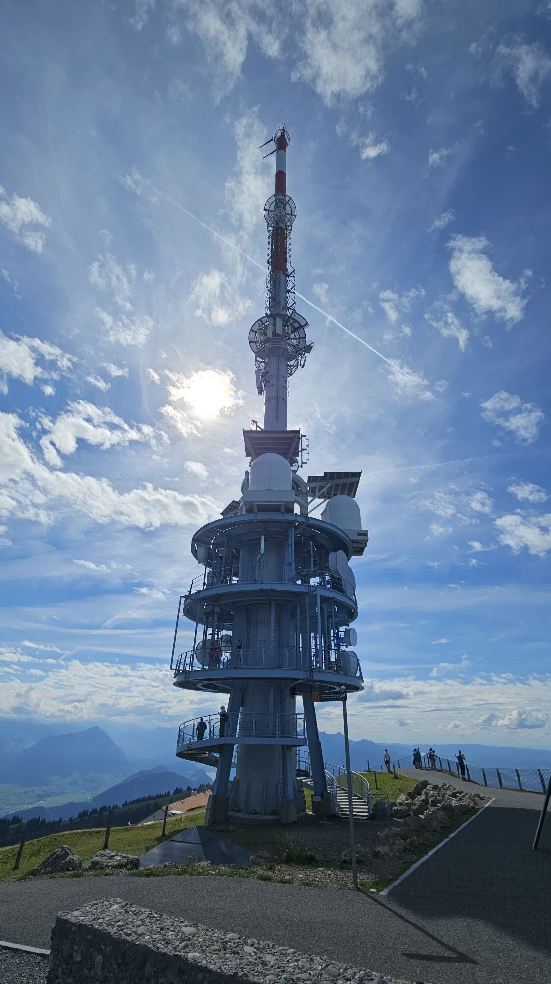
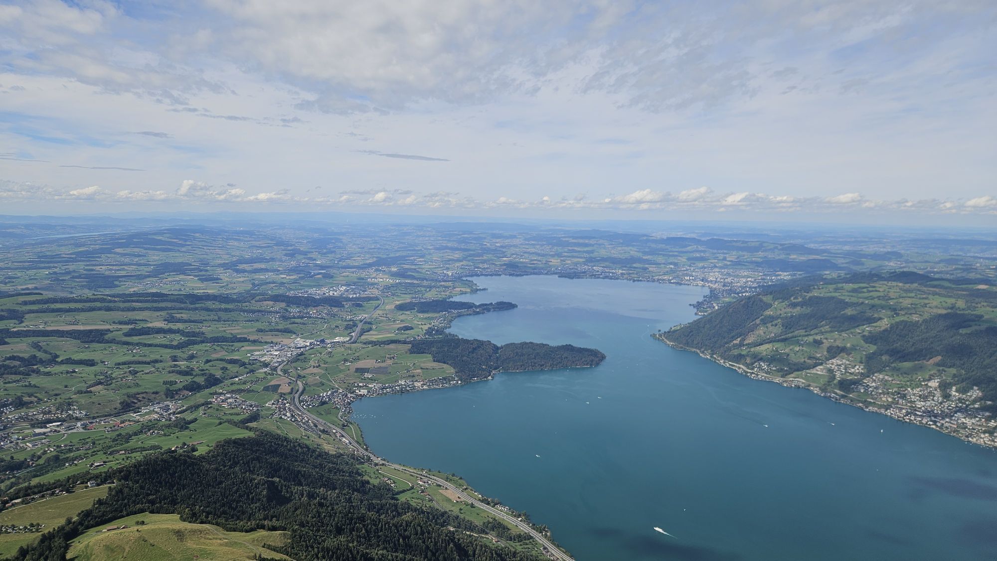
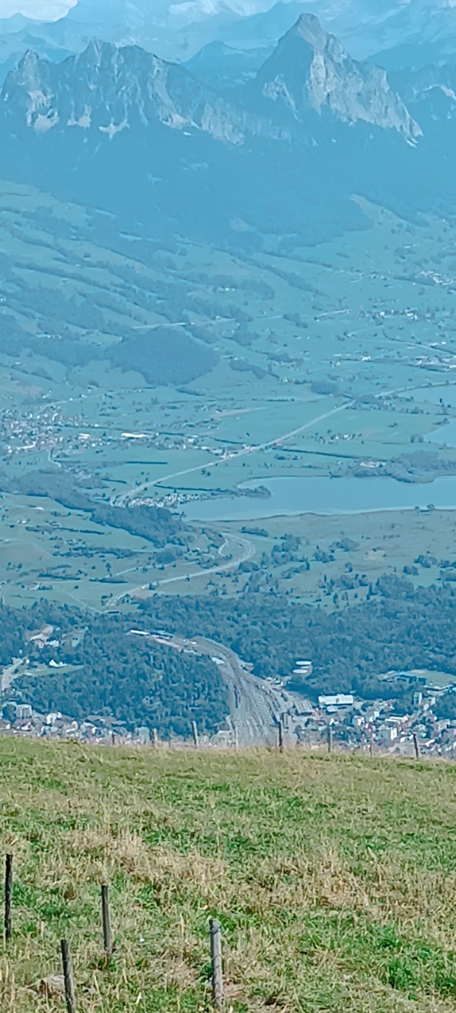
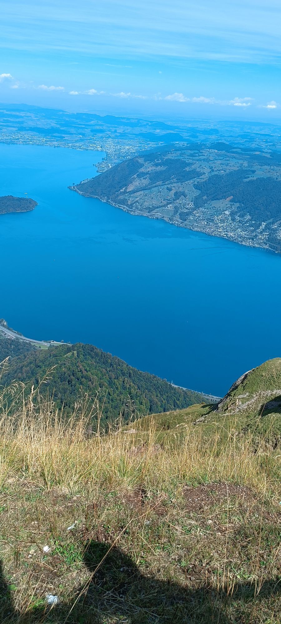
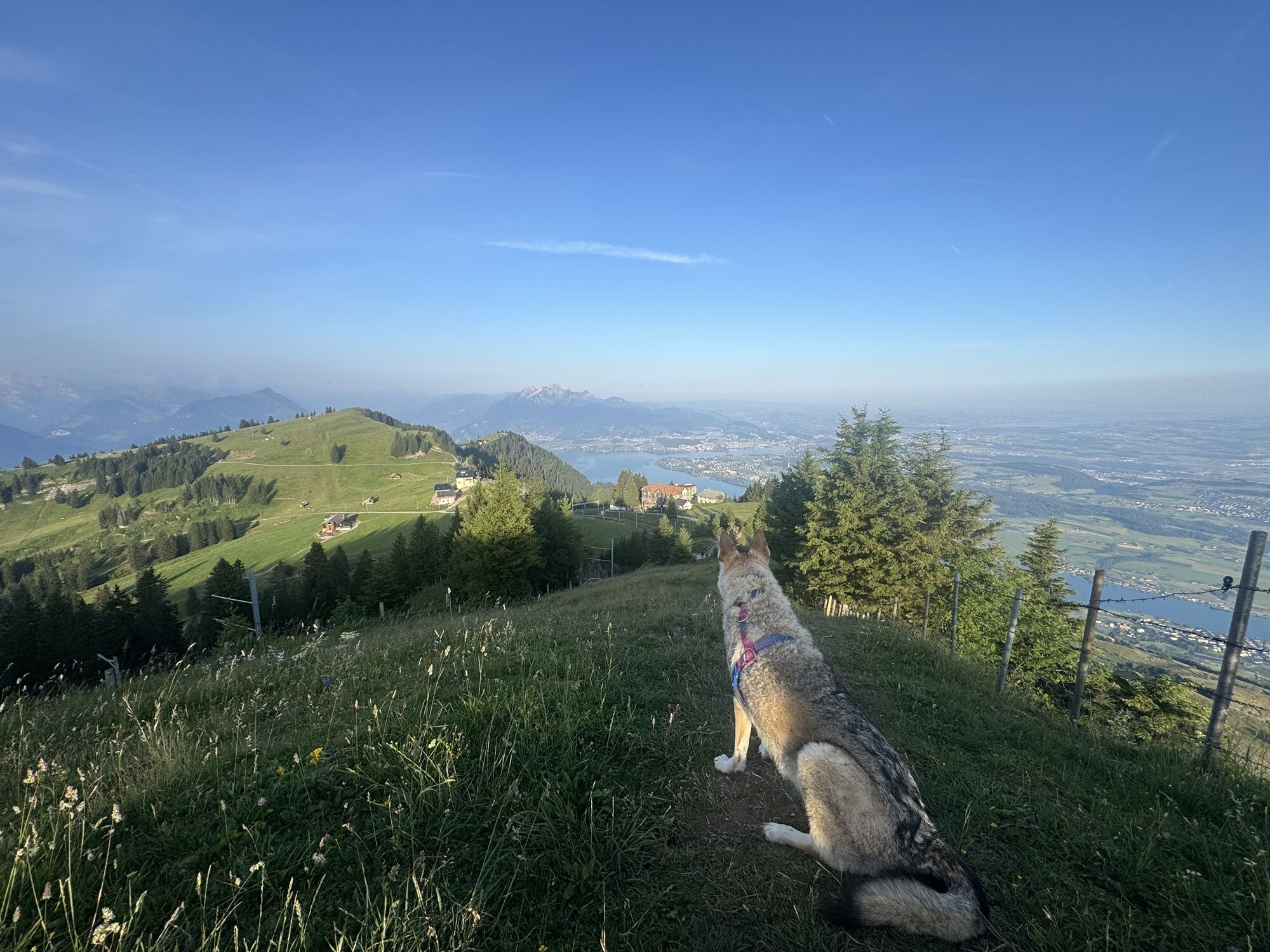
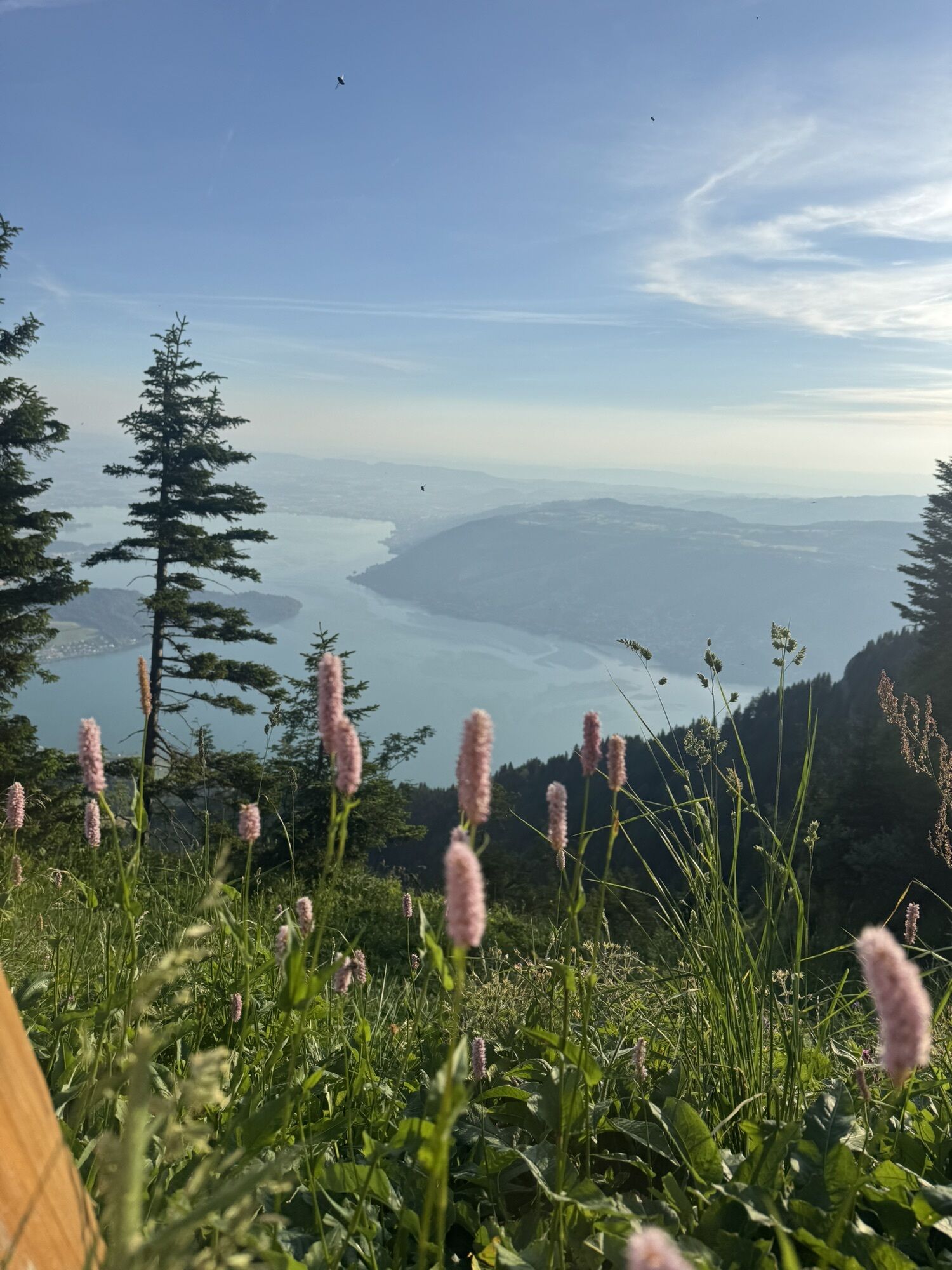
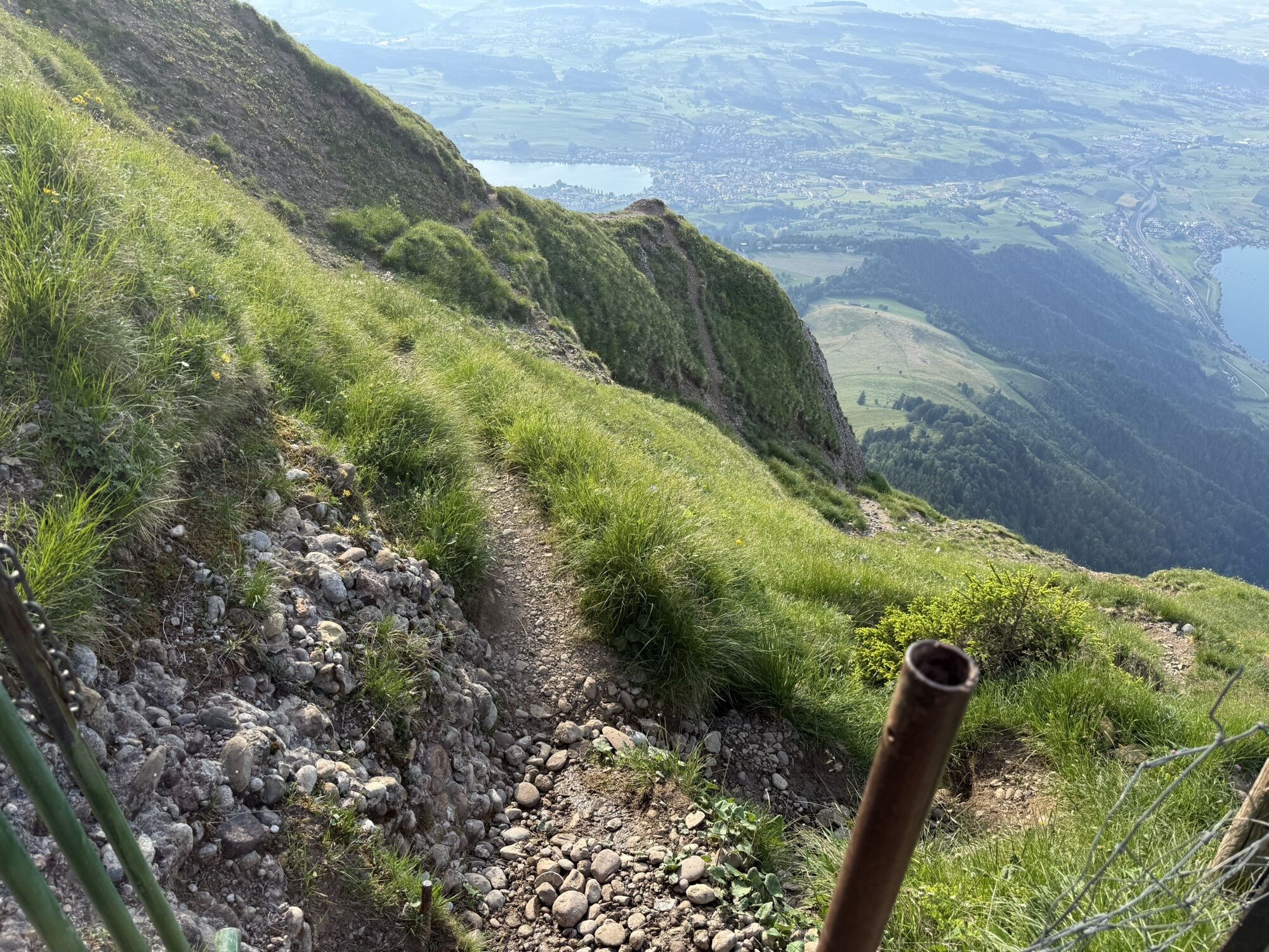
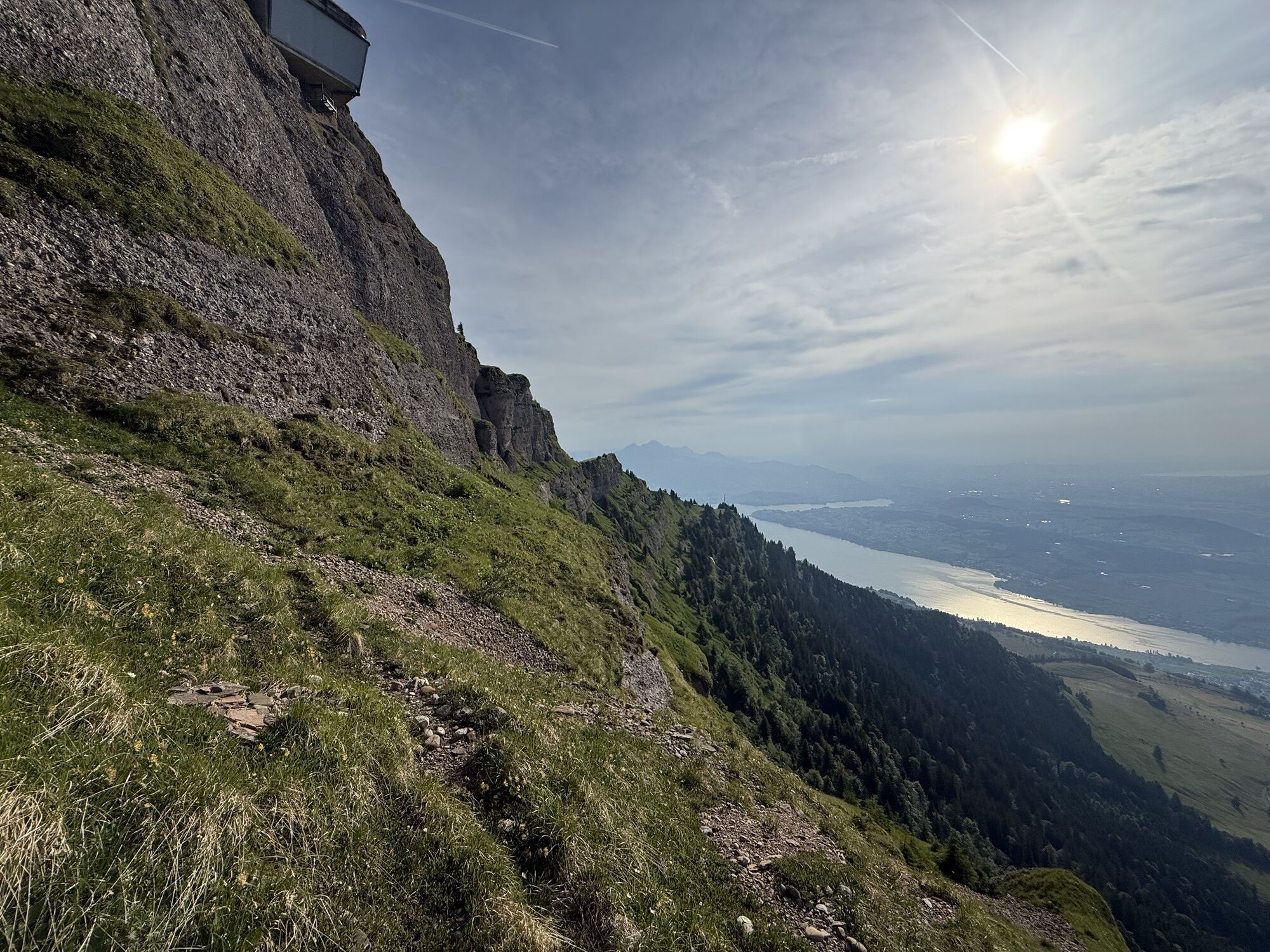
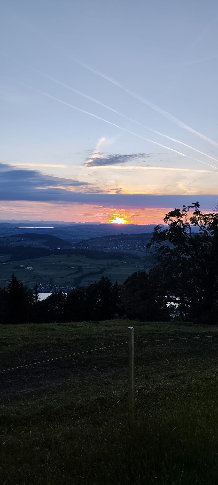
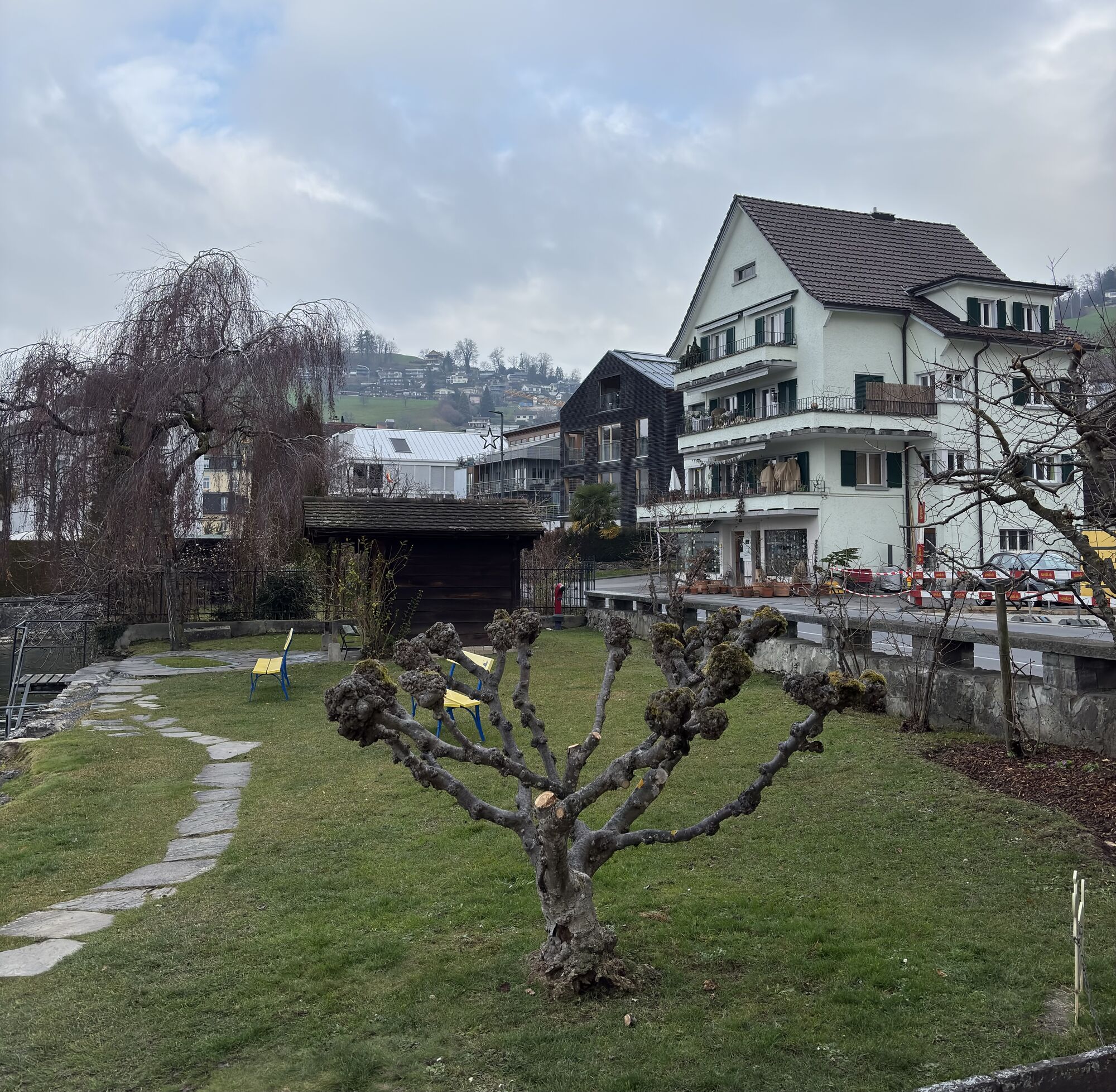
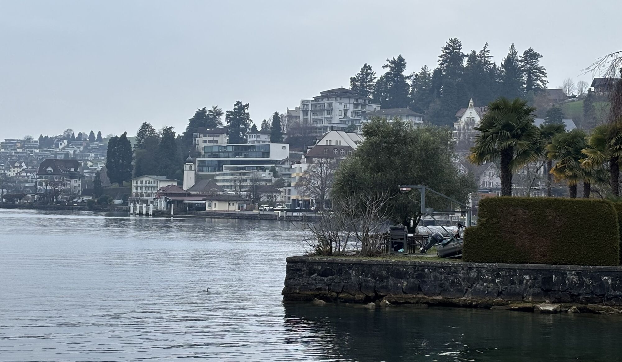
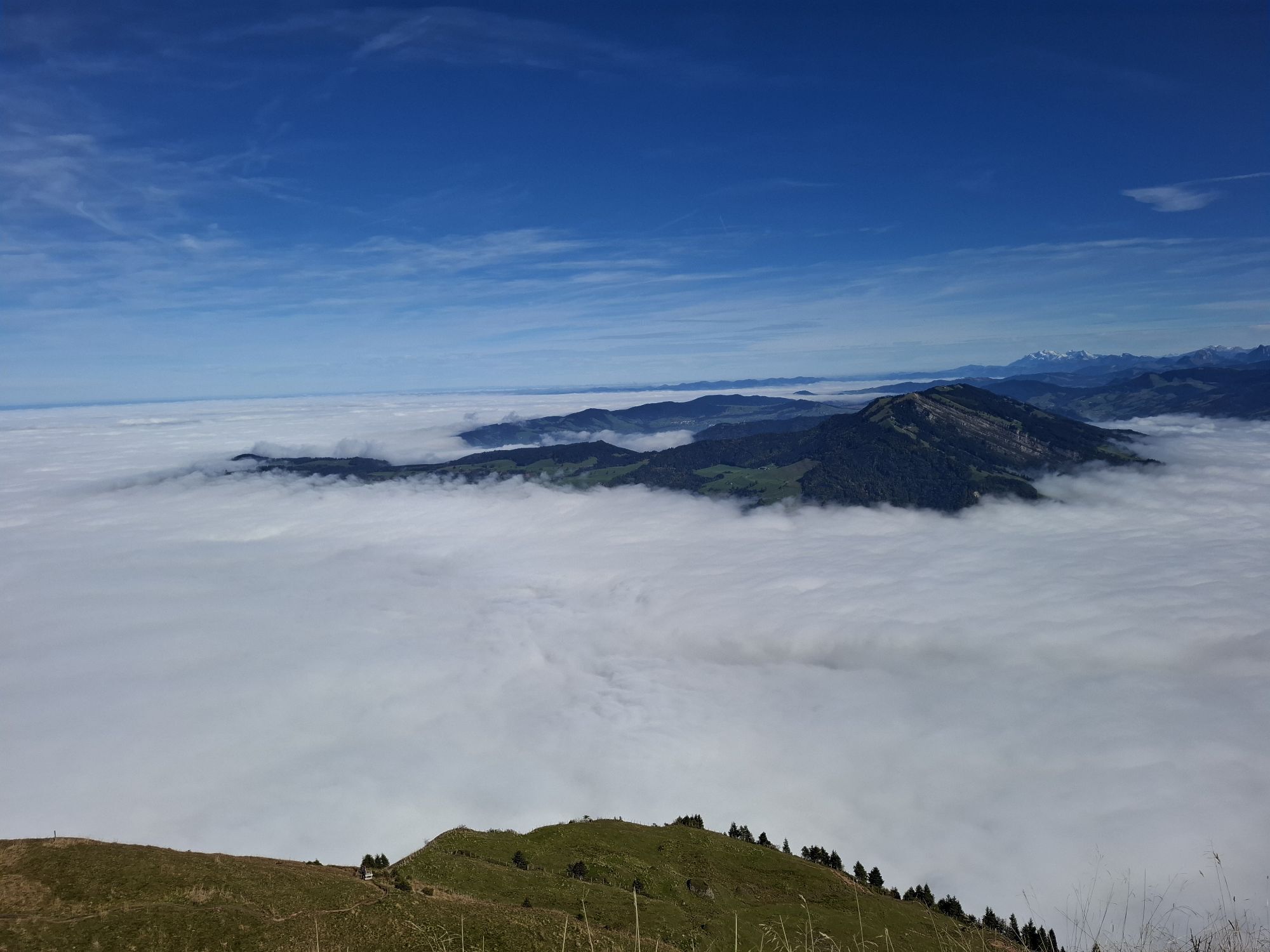
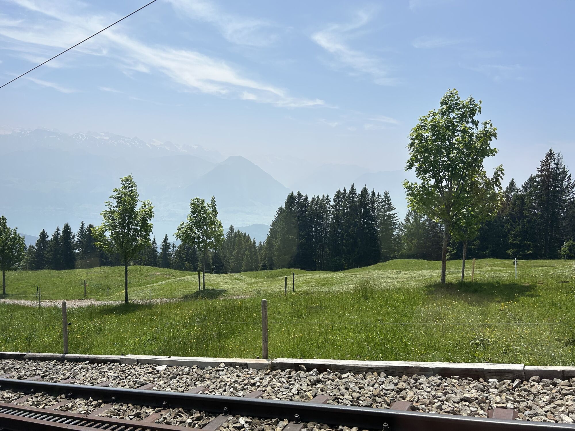
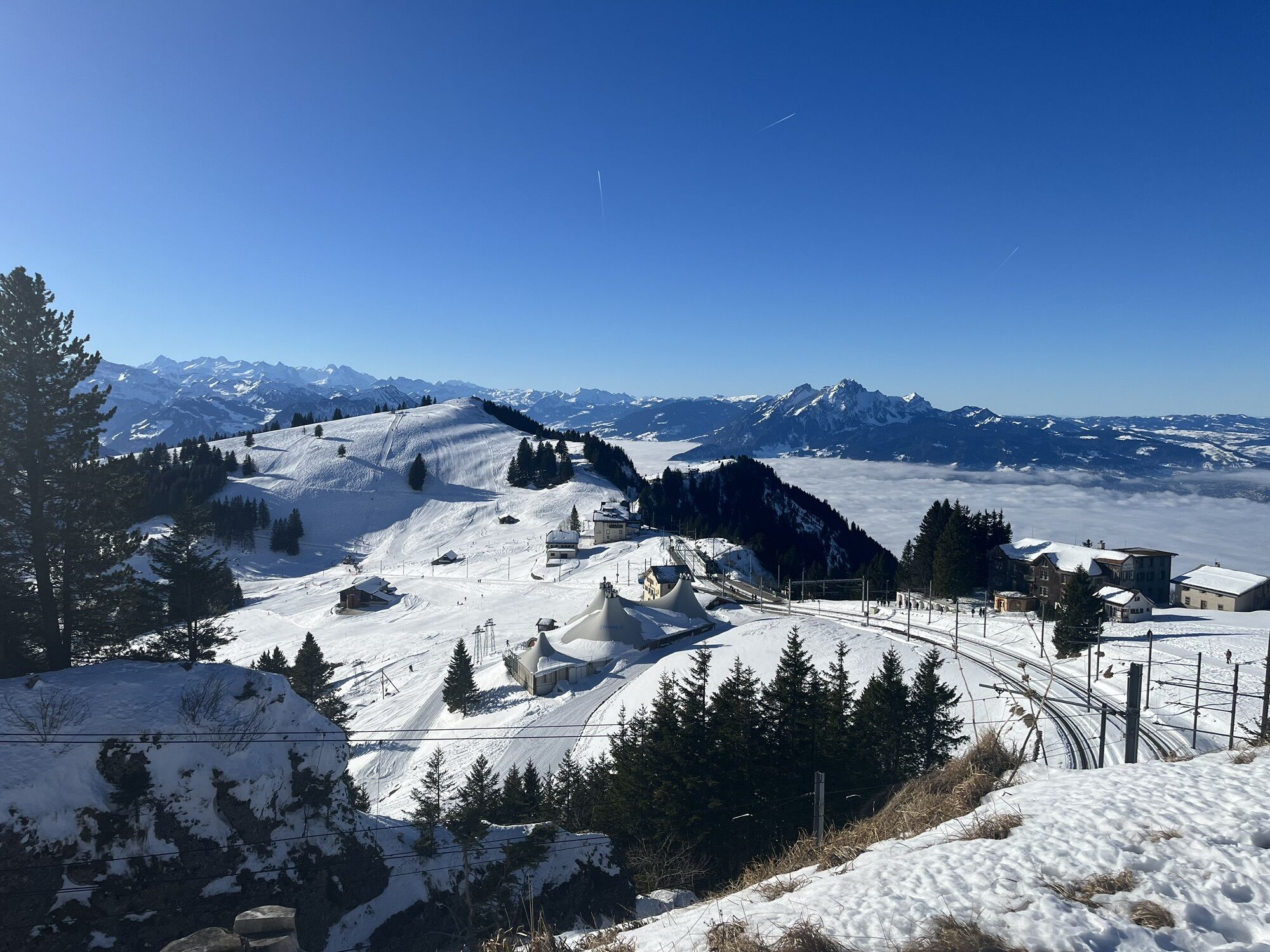
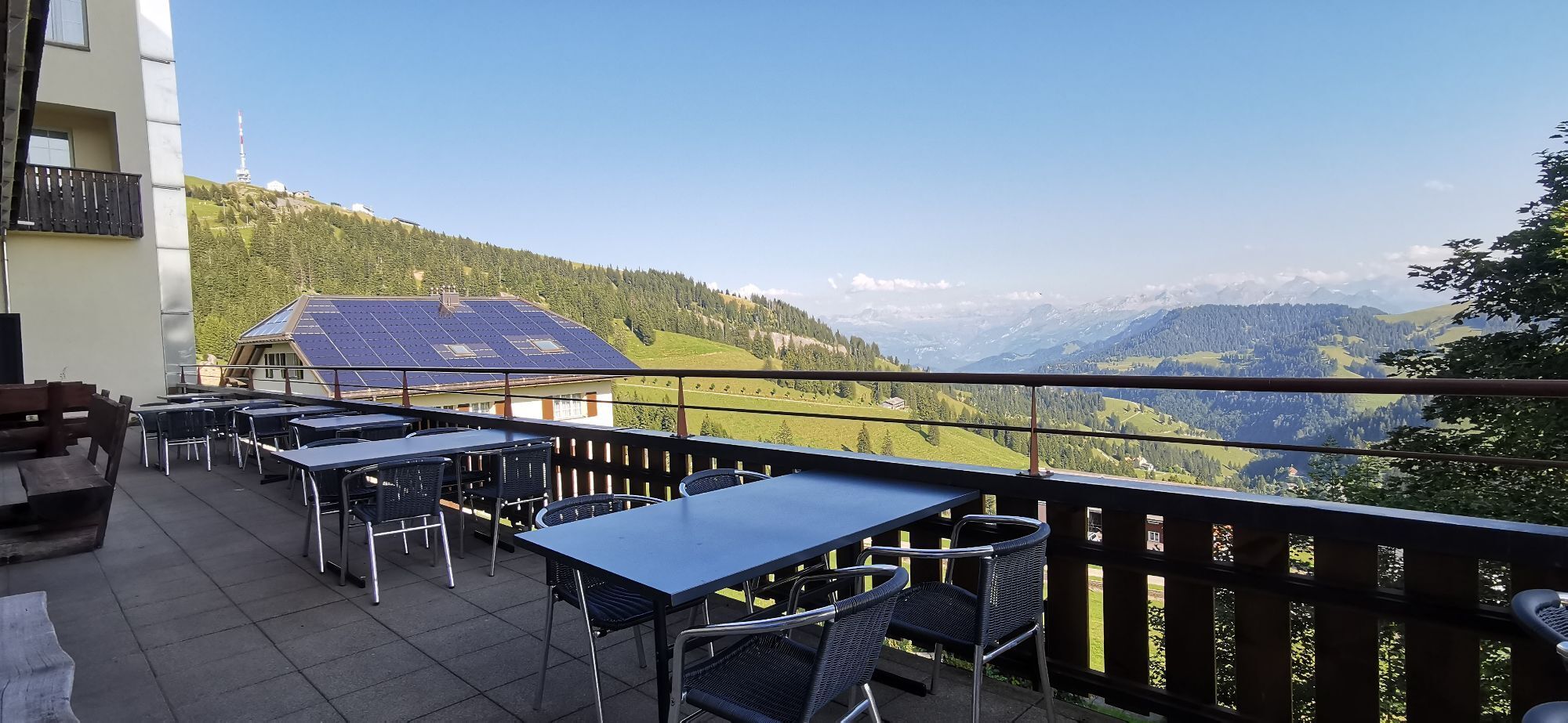
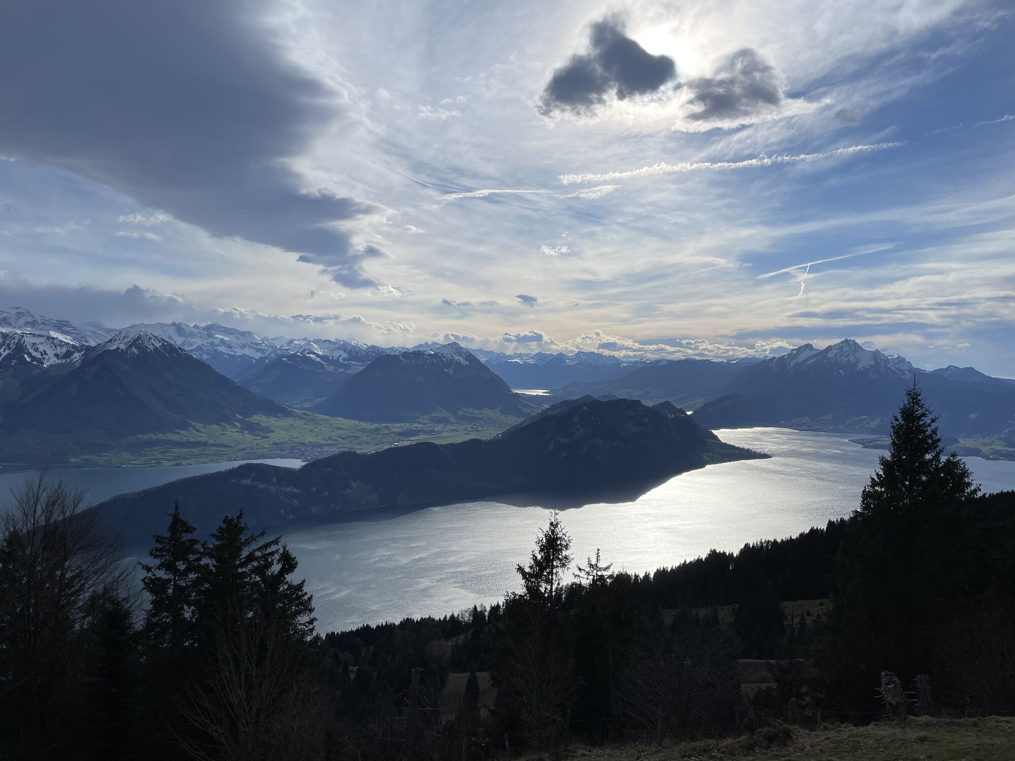
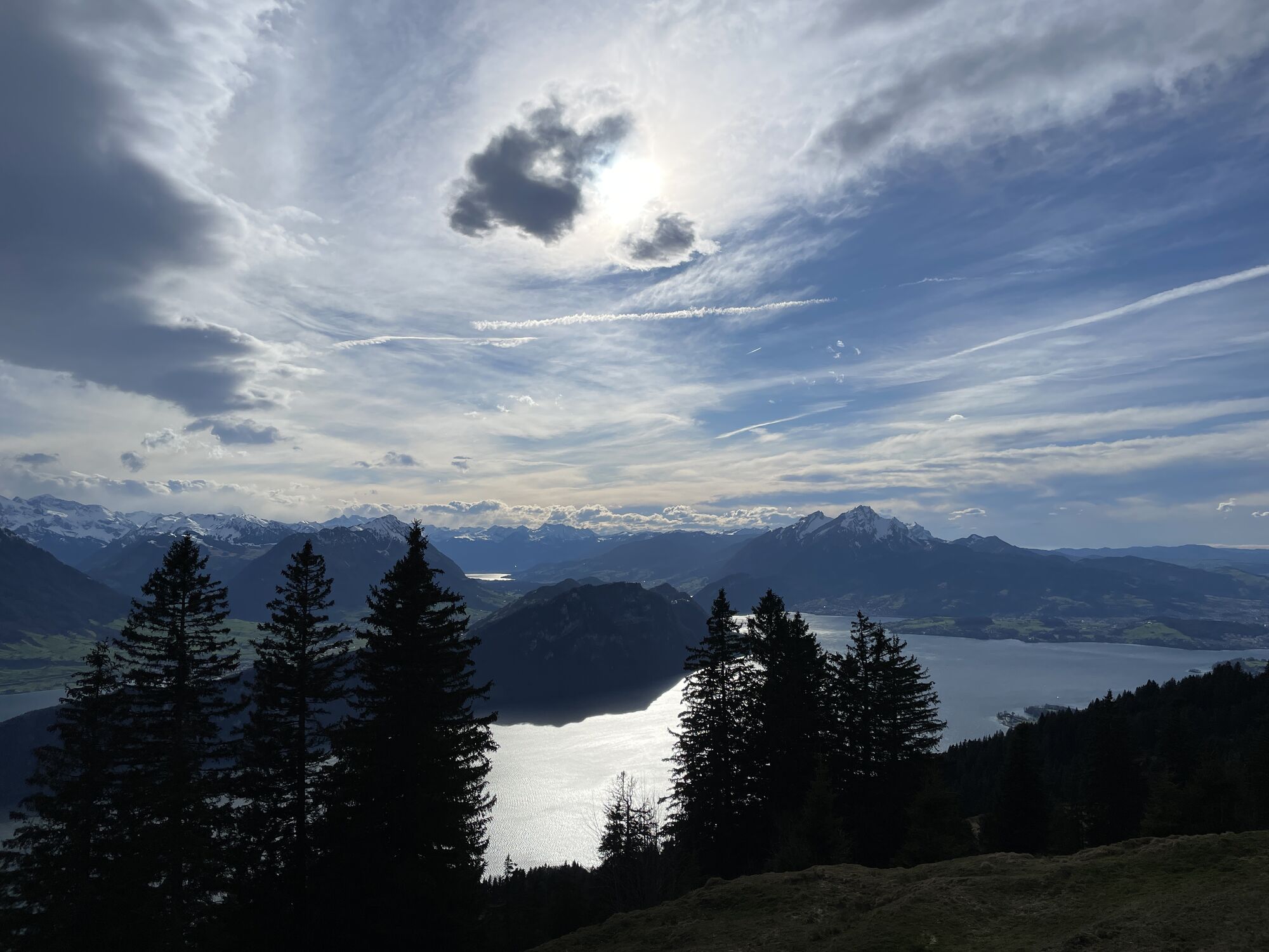
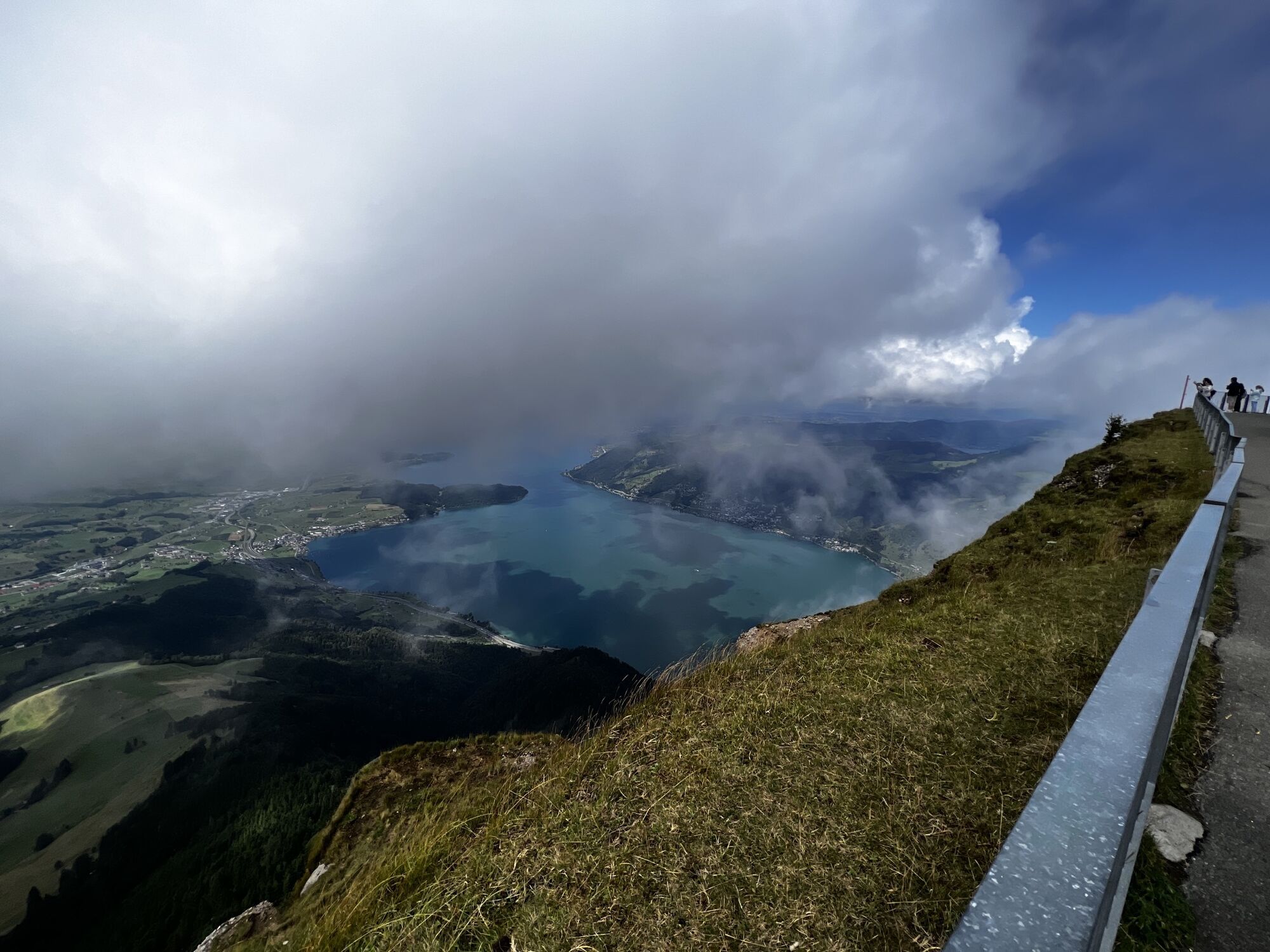
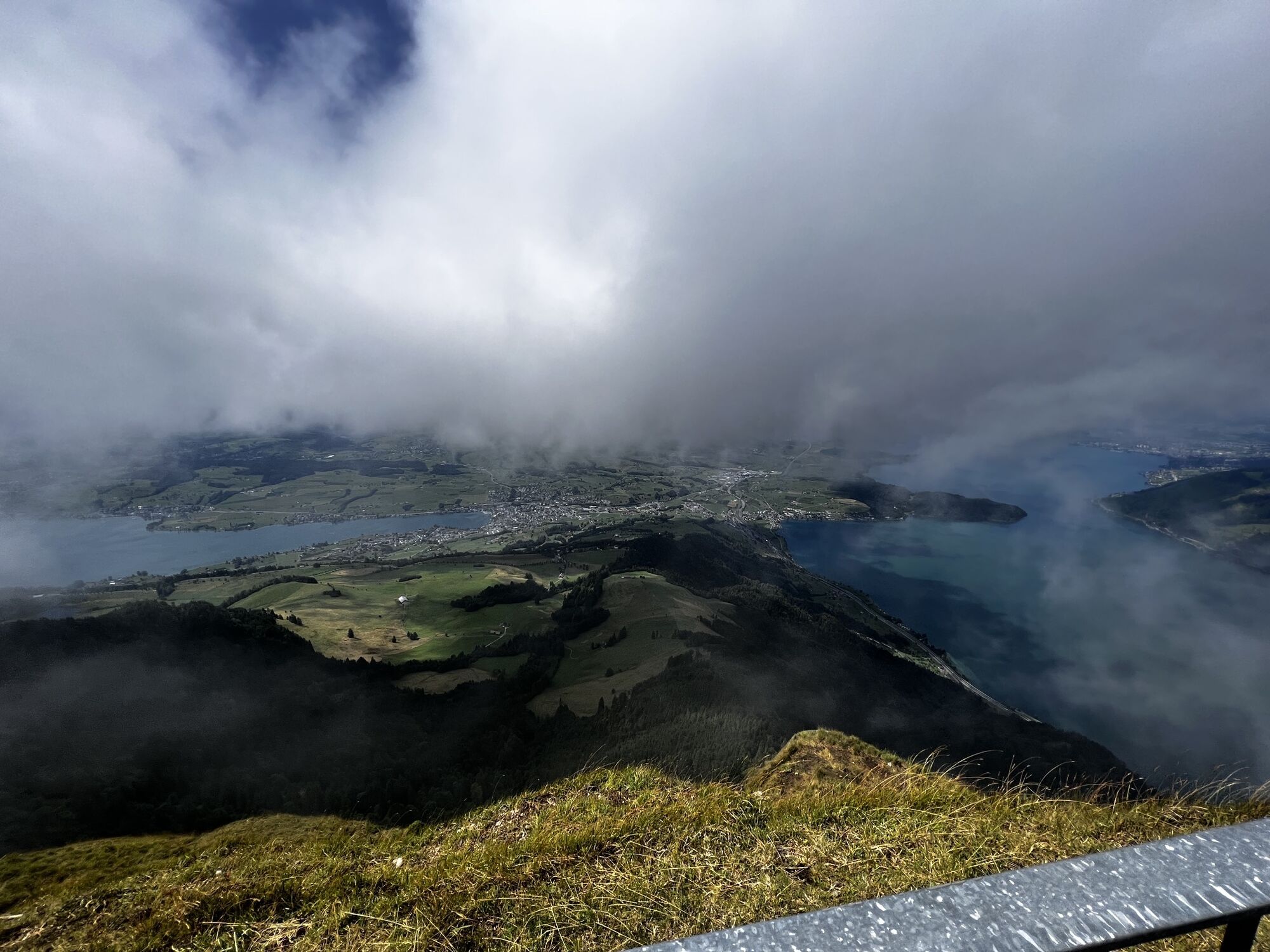
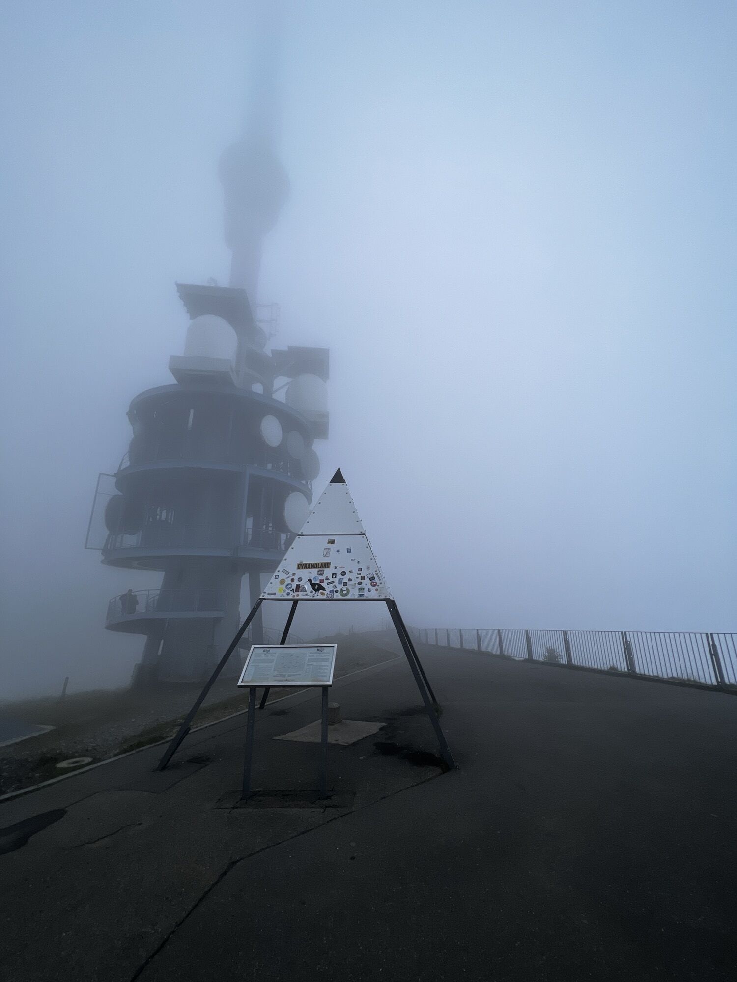
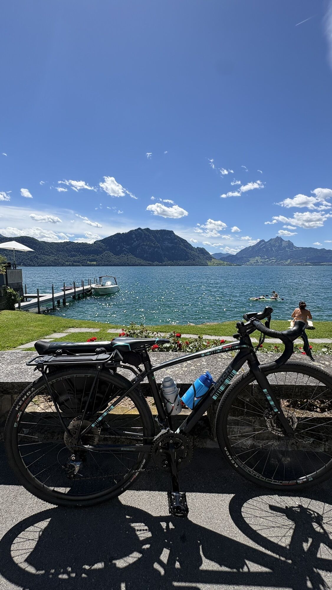
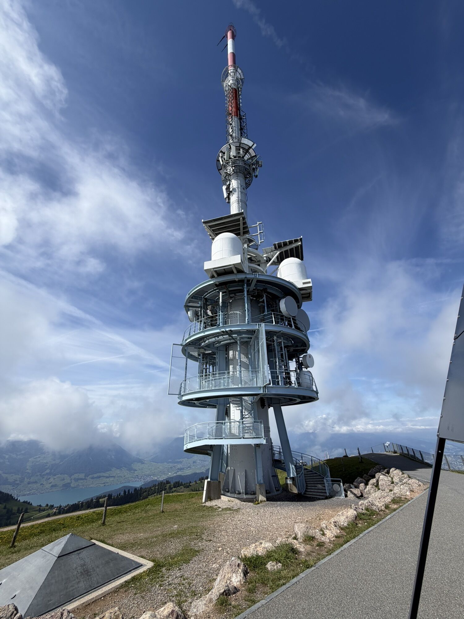
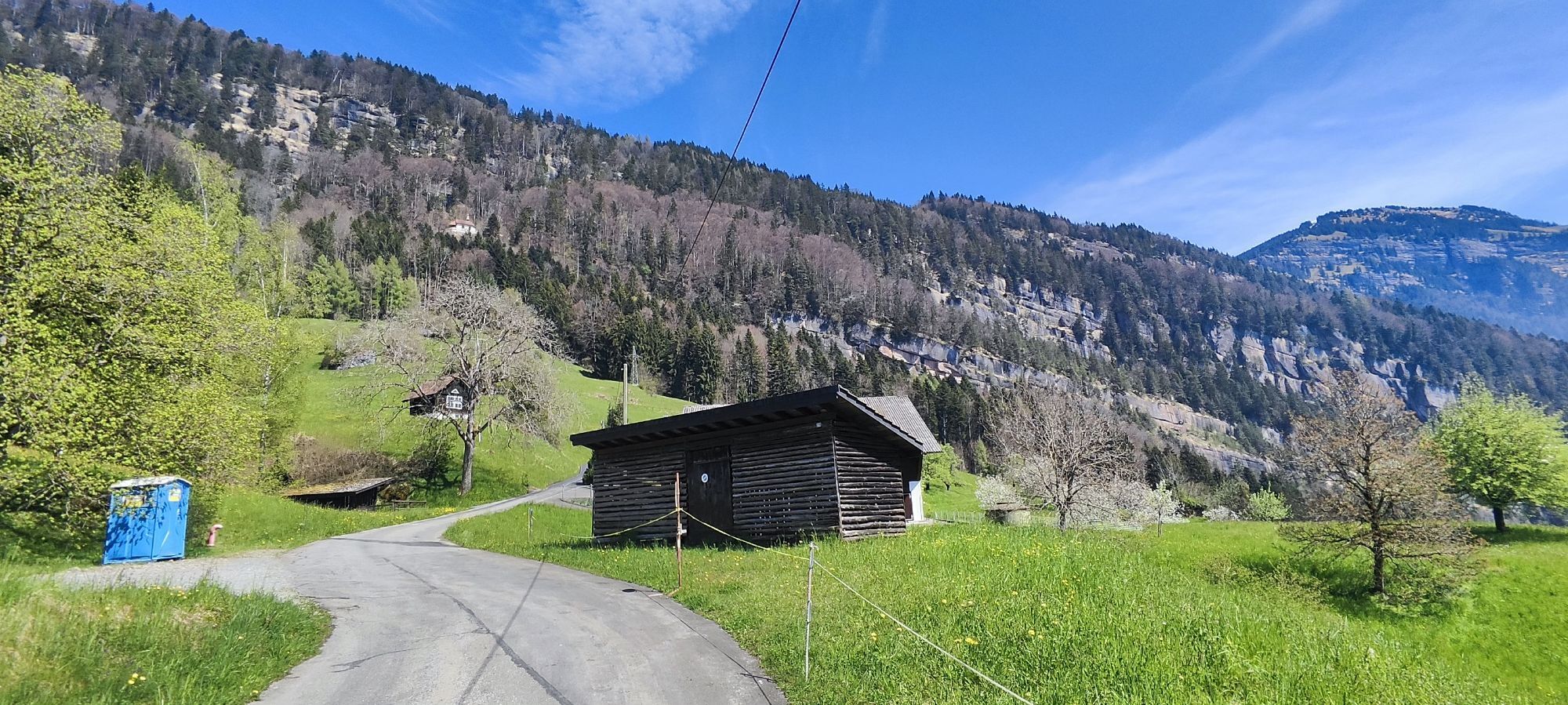

Before passengers could comfortably reach the Queen of the Mountains with the first mountain railway in Europe from 1871 onwards, they took this traditional hiking trail from Weggis. So did the world-famous...
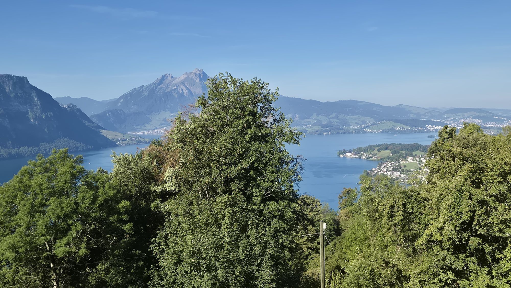
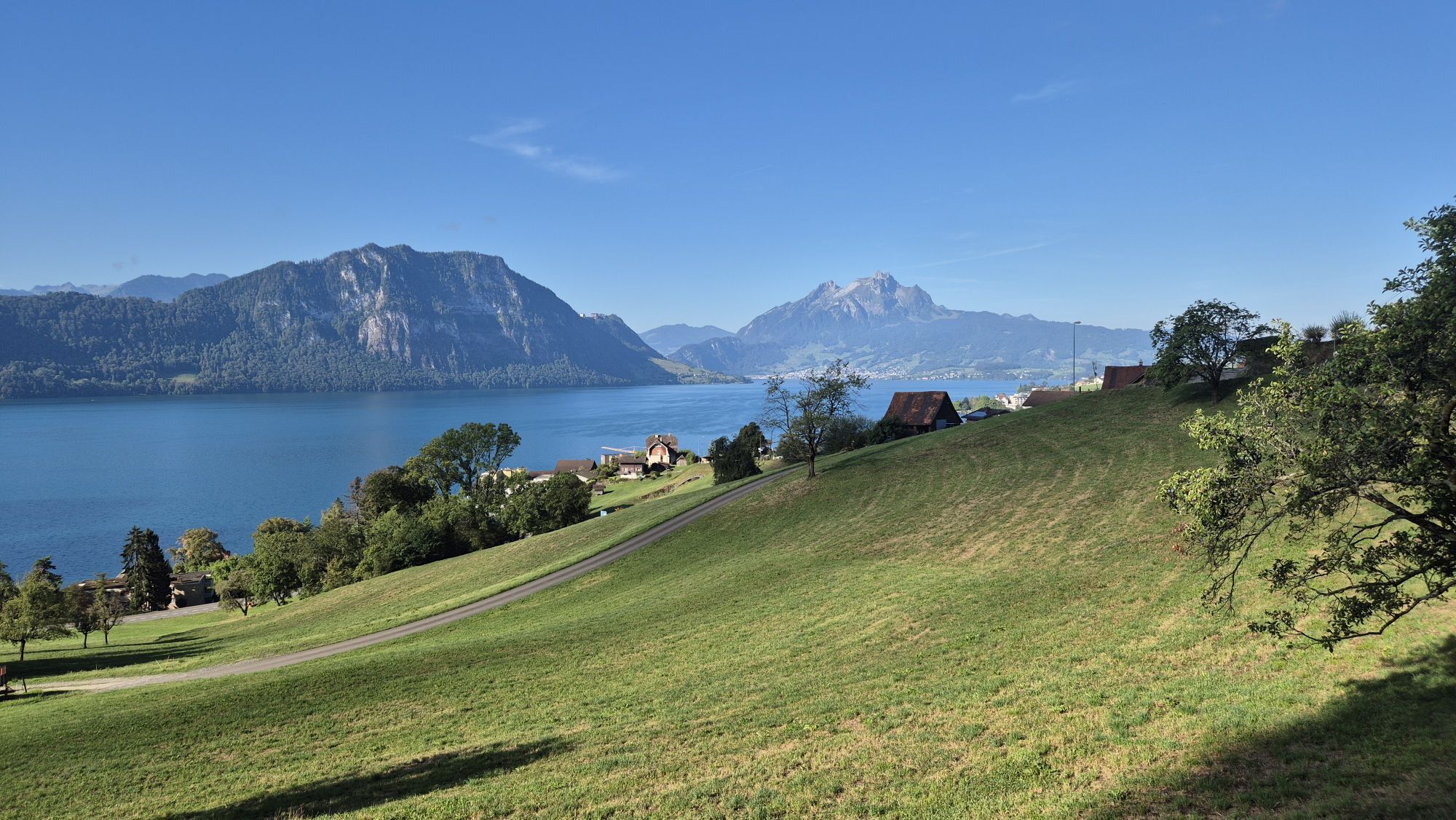
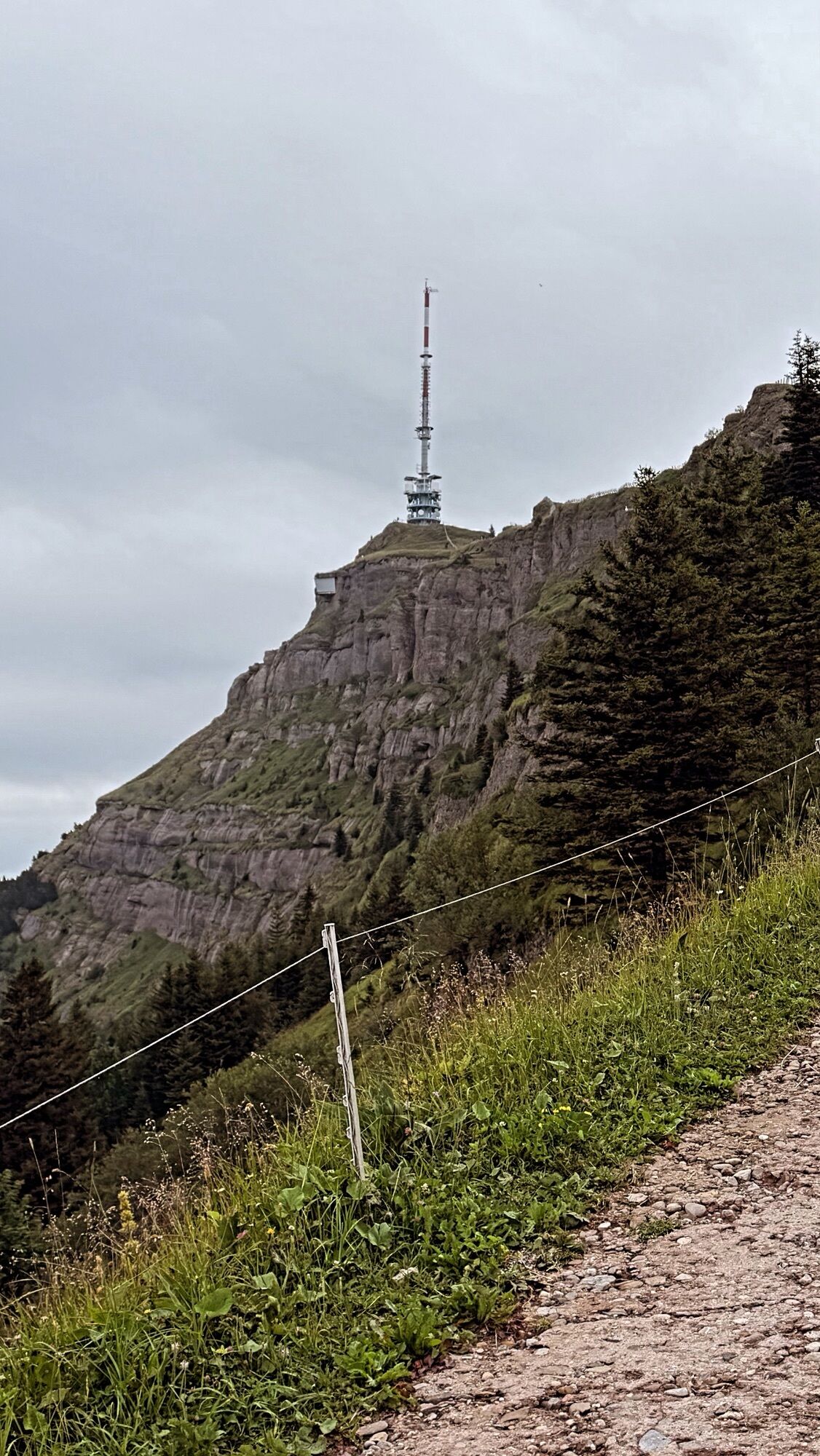
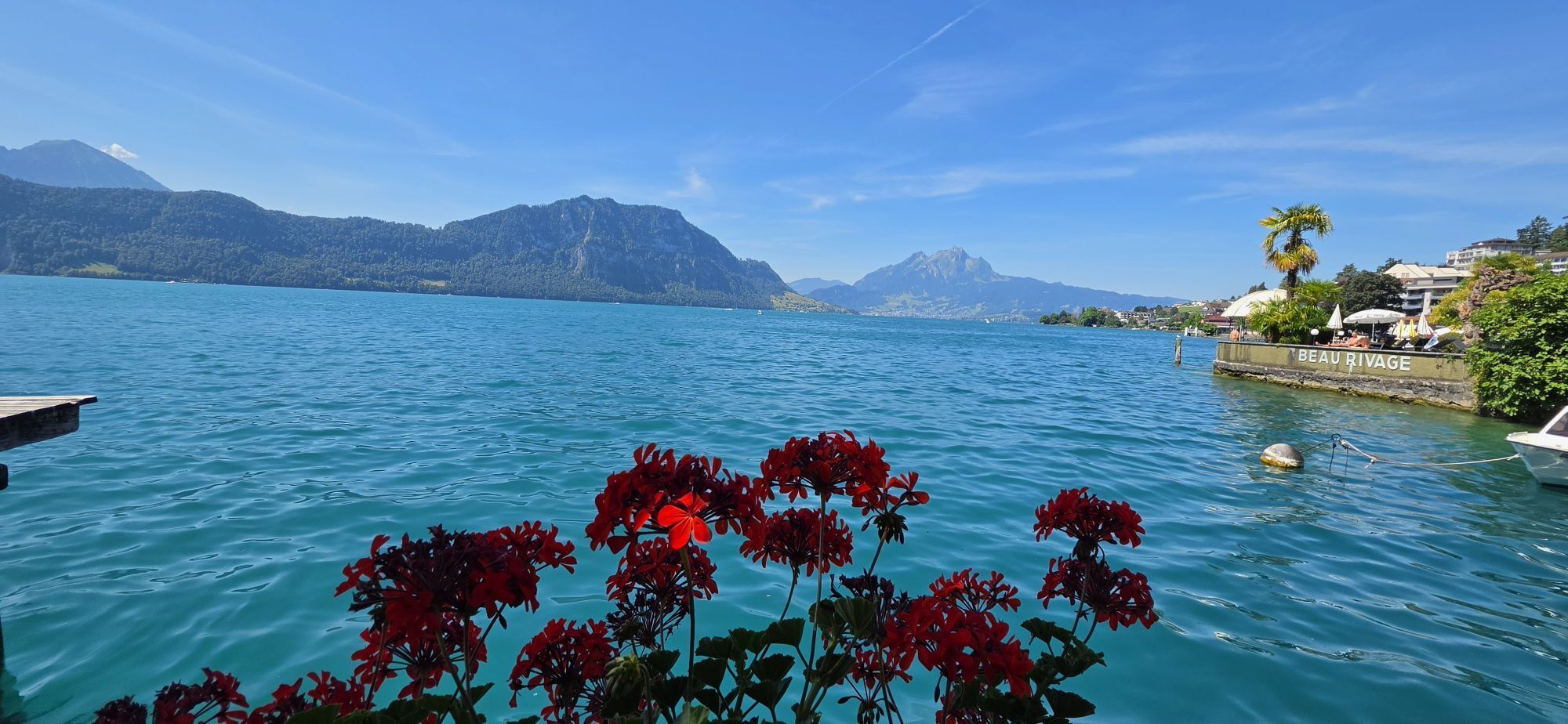
Before passengers could comfortably reach the Queen of the Mountains with the first mountain railway in Europe from 1871 onwards, they took this traditional hiking trail from Weggis. So did the world-famous writer and globetrotter Mark Twain. In his book "A Trip to Mt. Rigi" he describes his ascent, which took him three days at that time. On the steep section during this path, 8 information boards invite you to take a breather. The signs take you into the world of the humorous and witty author, who magically describes the Rigi. This passage at the Felsentor is particularly romantic, almost mystical, where massive rock pillars pile up in the lightened mountain forest. From Rigi Kaltbad the hike leads along winding paths to the summit at 1,800 m above sea level.
For your information
You can find the current operating status of the railways and hiking trails here.
In order to let our next generation also be inspired from the Queen of the Mountains, may we ask you to dispose of your own waste at Rigi Stations. Thank you.

Weggis (435 m) – Felsentor (1120 m) – Rigi Kaltbad (1436 m) – Rigi Staffel (1604 m)– Rigi Kulm (1797 m)
High profiled hiking boots or trakking boots, rain jacket, drink, food and walking sticks when possible.
exit Küssnacht, direction Weggis village
exit Schwyz, direction Brunnen - Gersau - Weggis village
However, we recommend you to arrive by public transportations instead of cars: just lean back, enjoy and do something good for the environment.
Get here is convenient by bus or boat from Küssnacht or from Brunnen.
In Weggis village you will find parking spaces for a fee.
Further information on parking
My own favourite place to relax is at the Felsentor (the rock gate), where I let the mystical atmosphere flow around me and absorb strength for the way further. The perfect place for just being alone.
Webcams de la tournée


Parcours populaires à proximité
-
4,7
Stanserhorn
facileRandonnée 17,9 km -
3,9
Rundweg Seebodenalp Küssnacht am Rigi, Schweiz
moyenRandonnée 9,56 km -
4,4
Seebodenalp Panoramaweg
facileRandonnée 5,25 km -
3,9
Gnipen - ab Goldau - Rundwanderung
moyenRandonnée 10,6 km -
4,8
Home-Rigi Kulm-Home
moyenRandonnée 18,6 km -
4,8
Rigi Kulm von Vitznau aus
moyenRandonnée 17,6 km -
5,0
Morschach-Fronalpstock-Stoss, Schweiz
moyenRandonnée 16,6 km -
4,7
Wildspitz bei Sattel-Aegeri
facileRandonnée 12,9 km -
5,0
Kleine Rigi Runde🥾🏔
moyenRandonnée 14,0 km -
5,0
Zugerberg - via Blasenberg - Rundwanderung
facileRandonnée 9,44 km
Randonnée et suivi


Ne manquez pas les offres et l'inspiration pour vos prochaines vacances
Votre adresse électronique a été ajouté à la liste de diffusion.





