







Rigi Dossen Trail

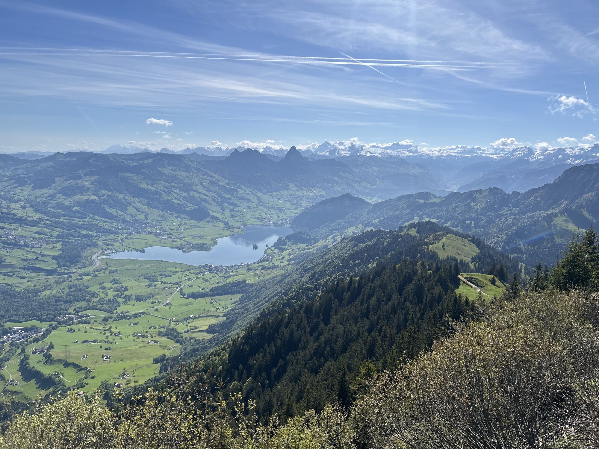
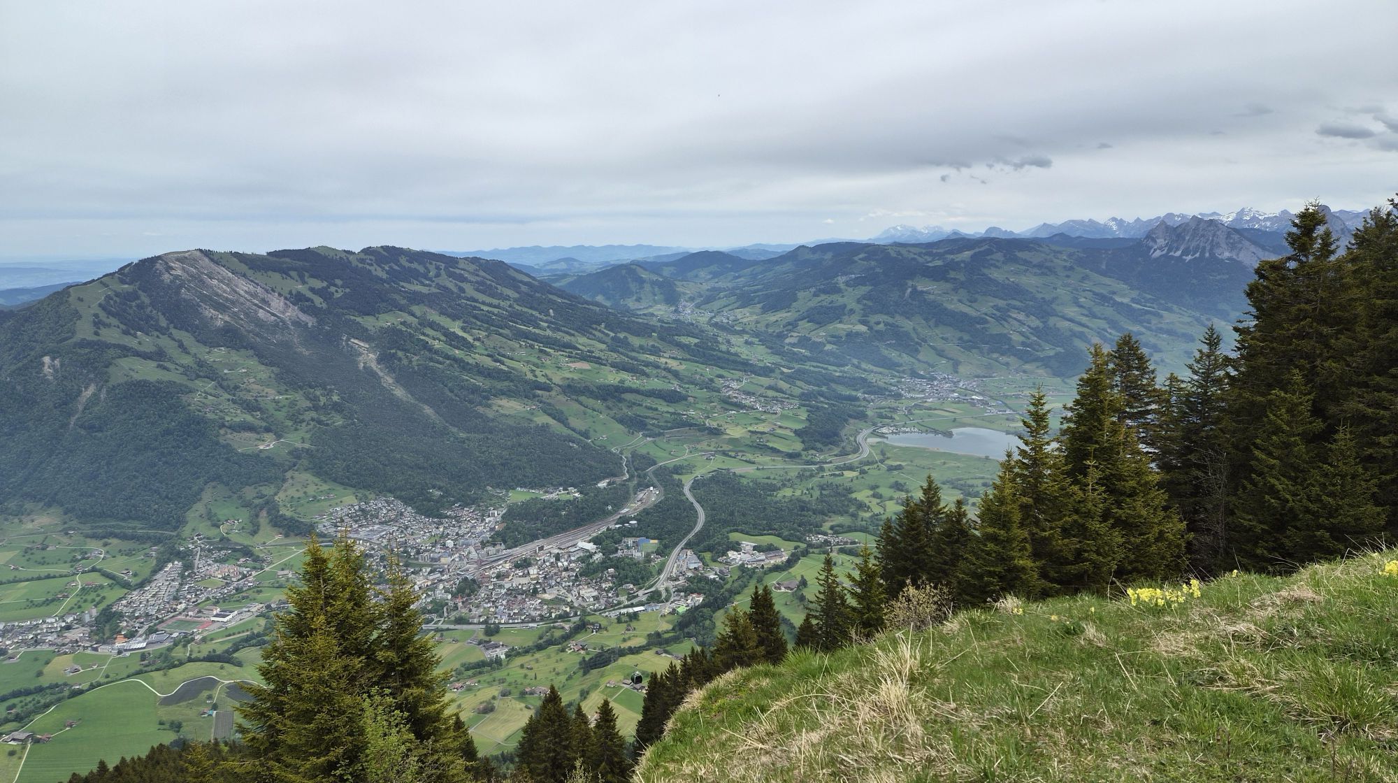
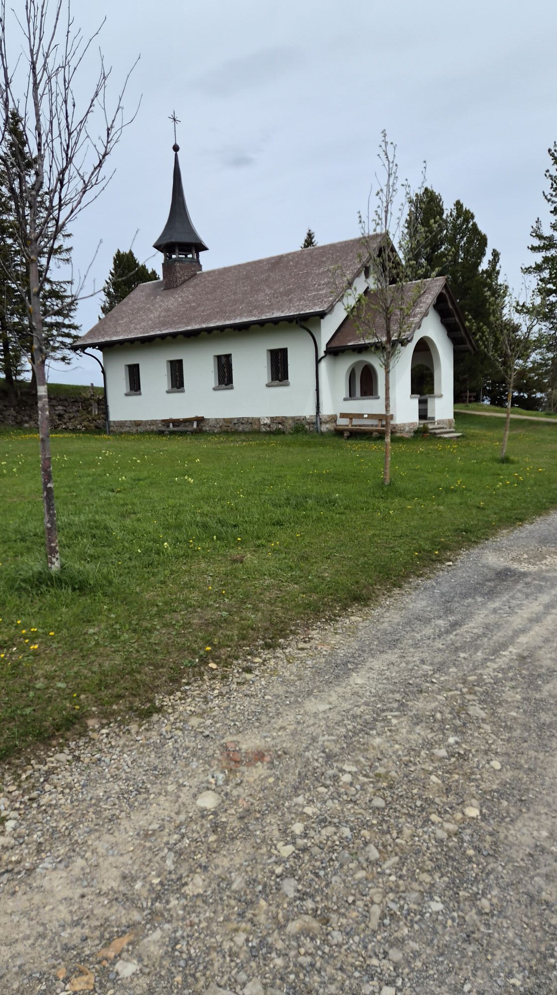
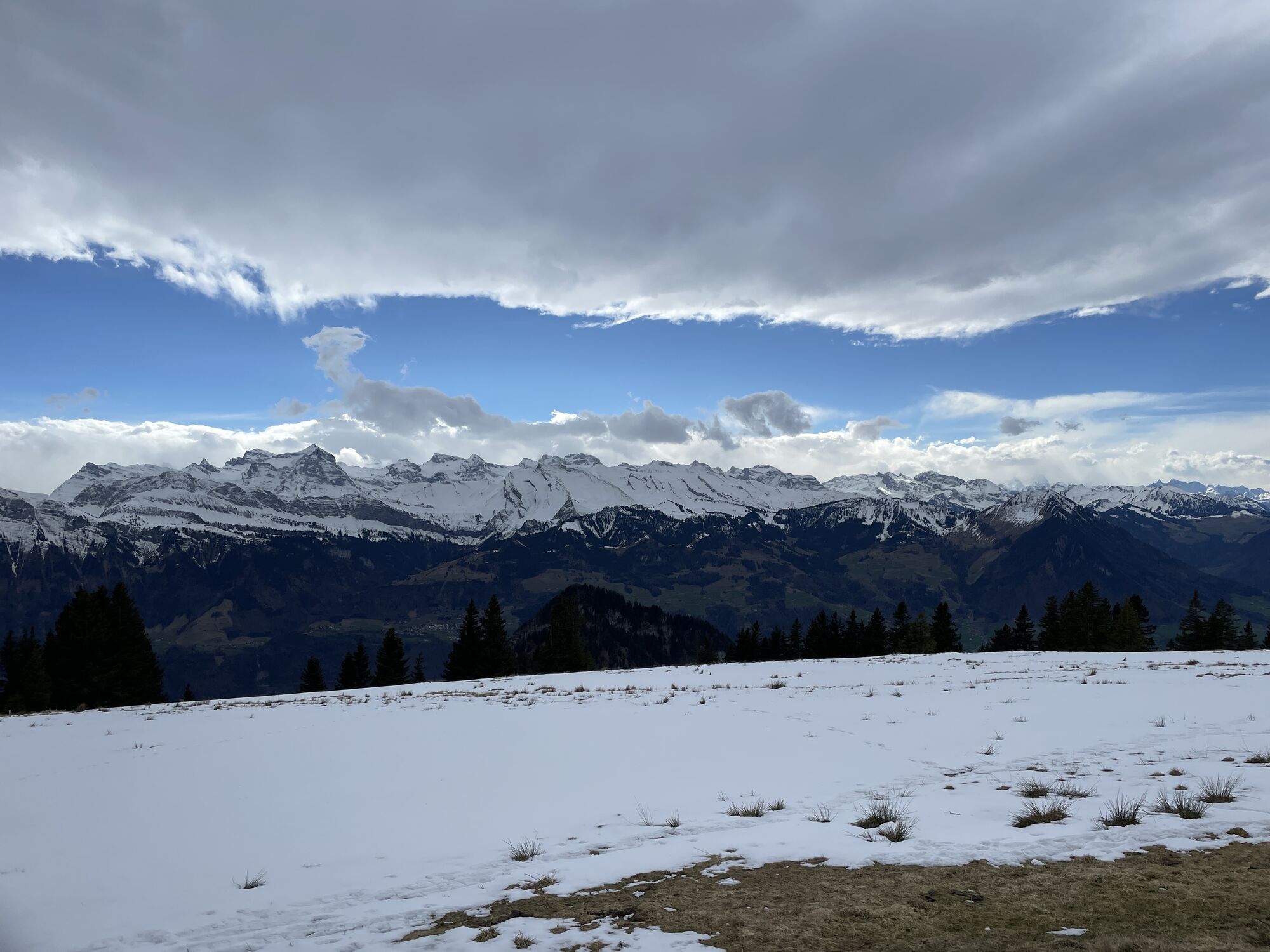
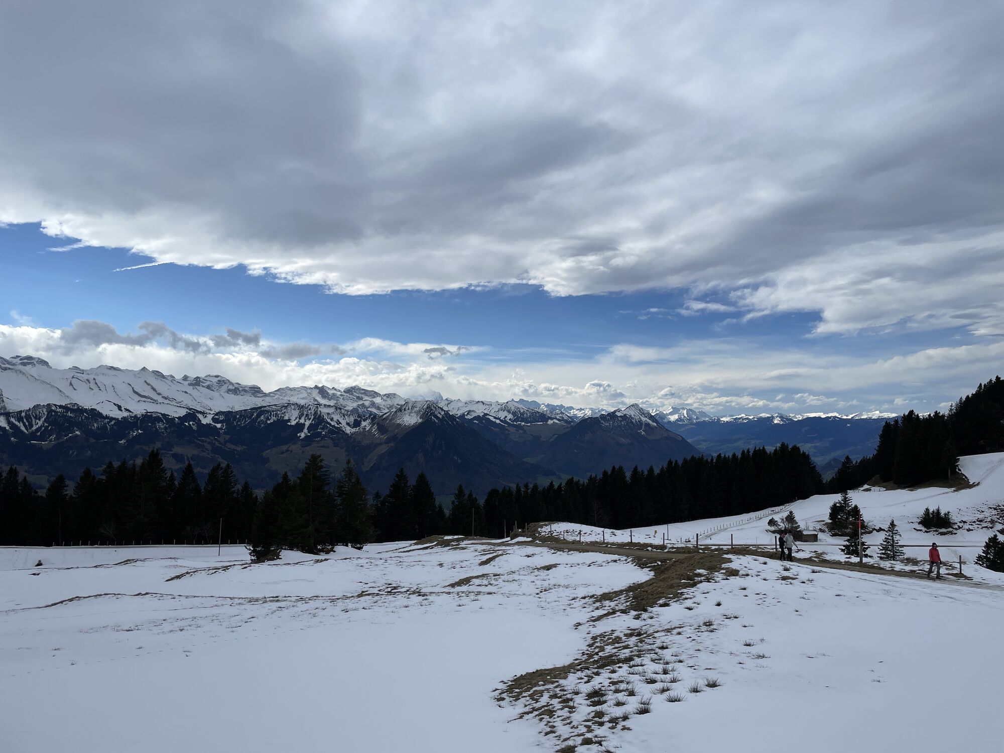
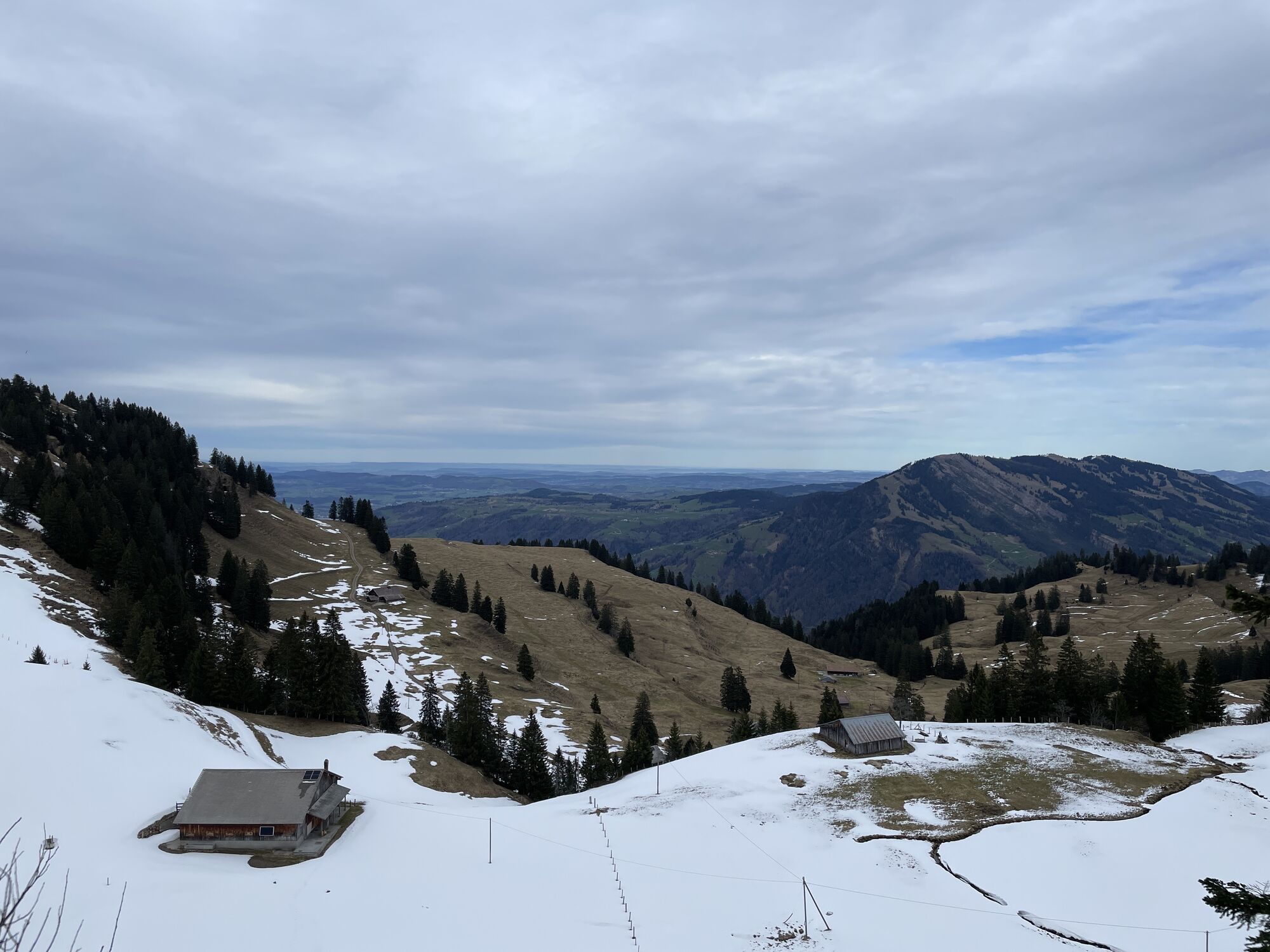
A richly diverse high-altitude hike topped off by an exhilarating climb to Dossen's peak! From Rigi Klösterli, there's a gentle incline as you walk up through the mountain forest and lush meadows via Heiterenboden...
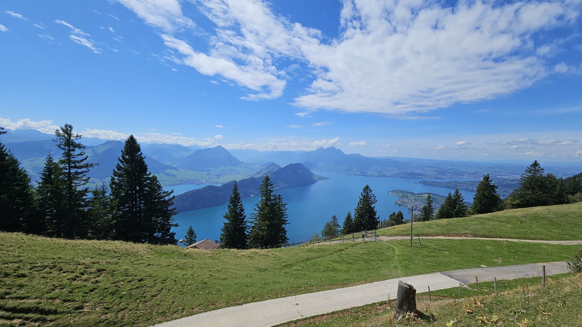
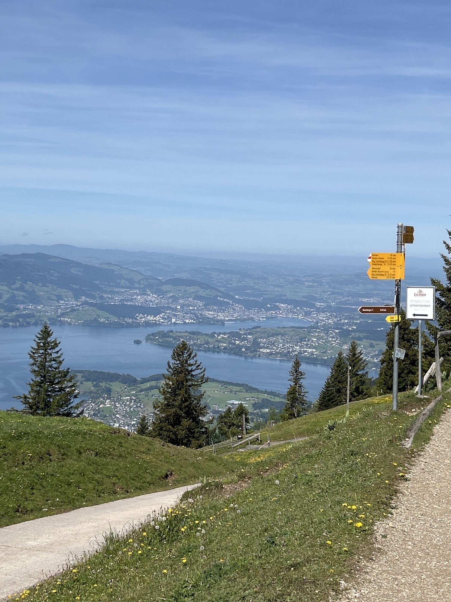
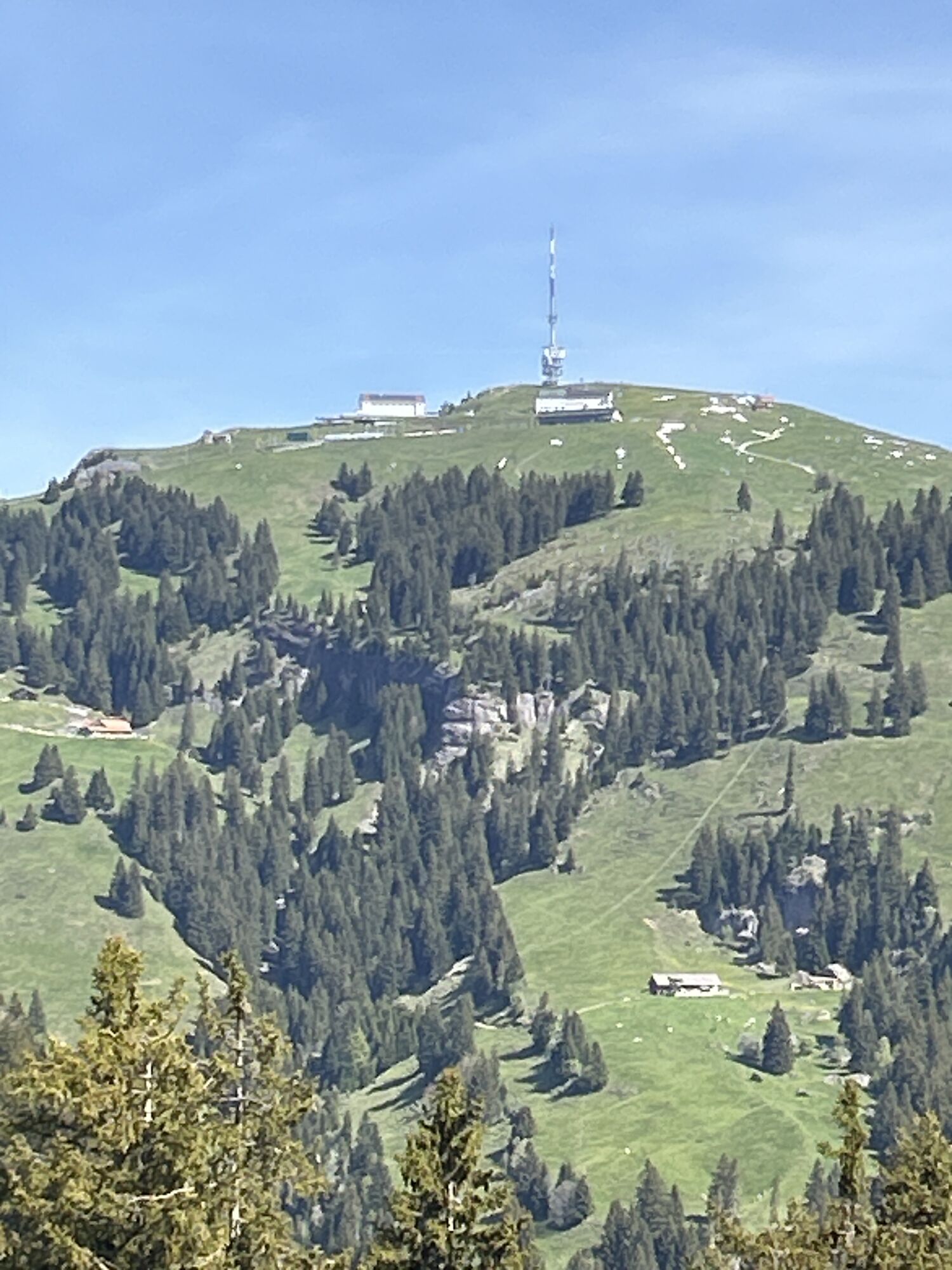
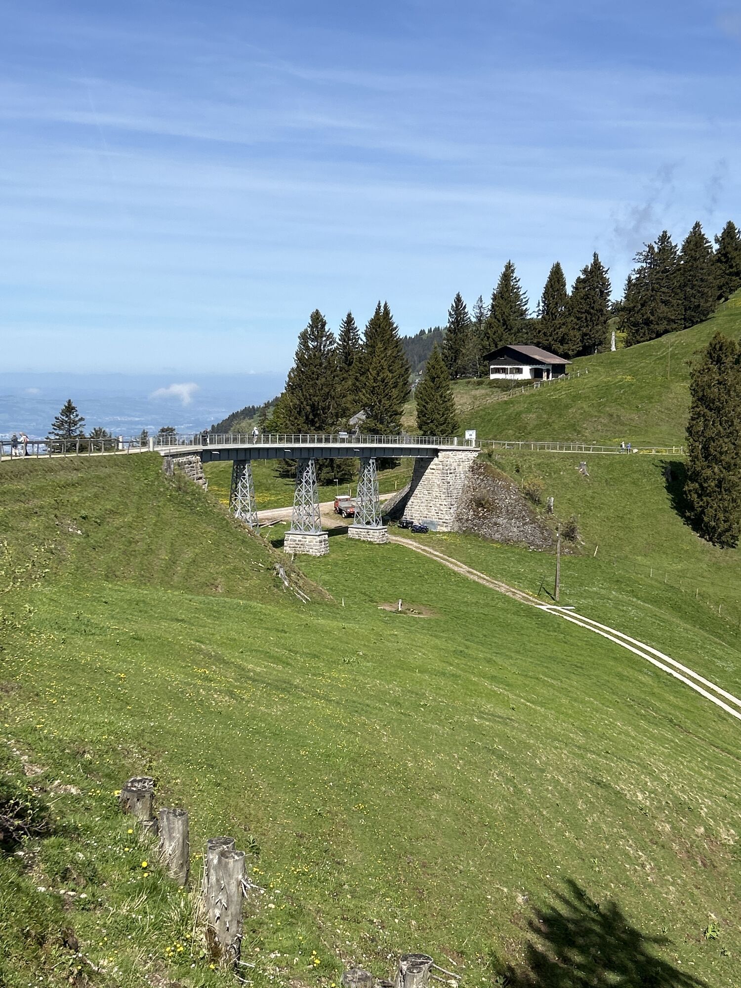
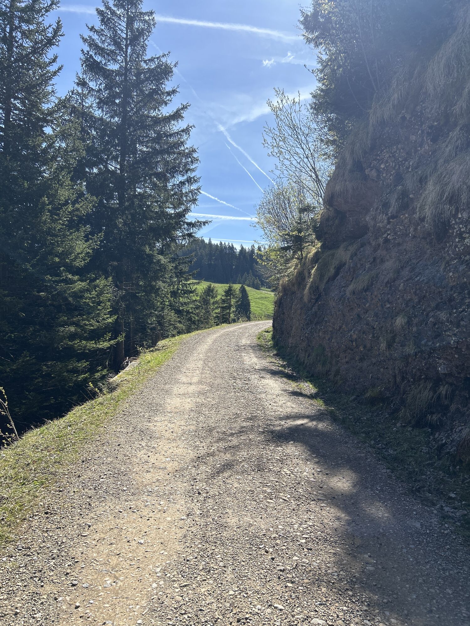
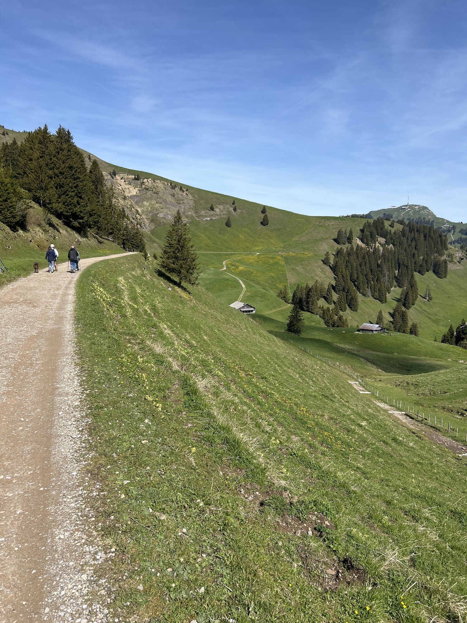
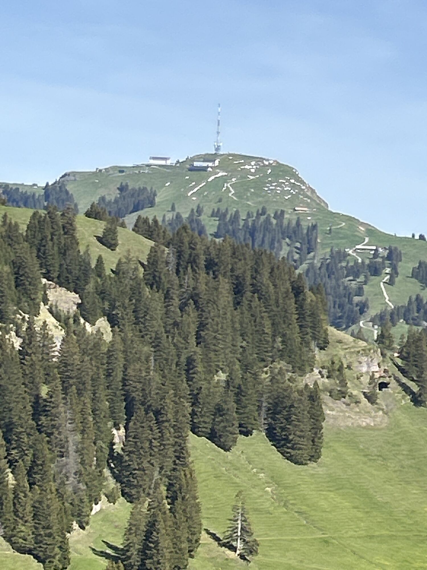
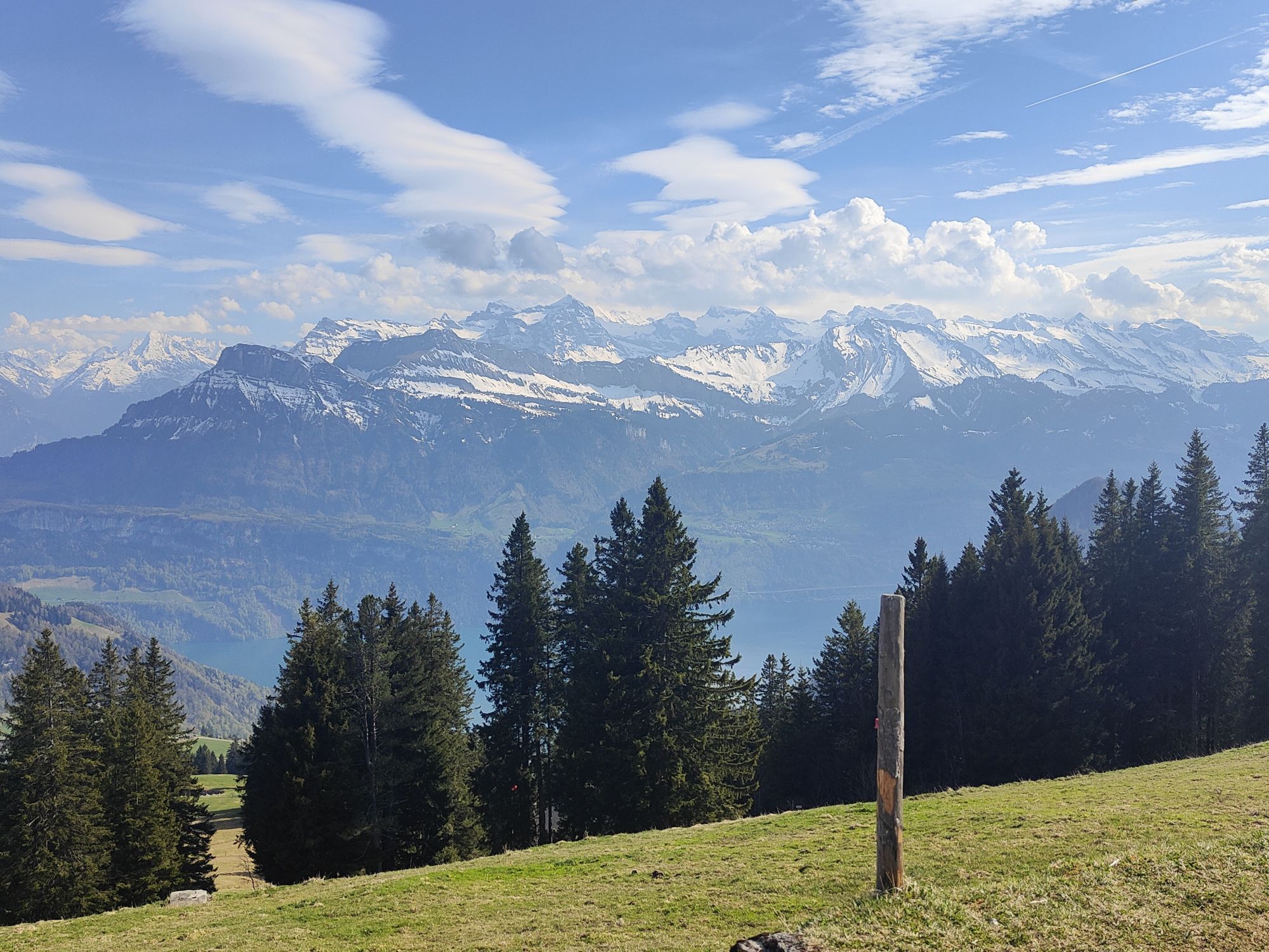
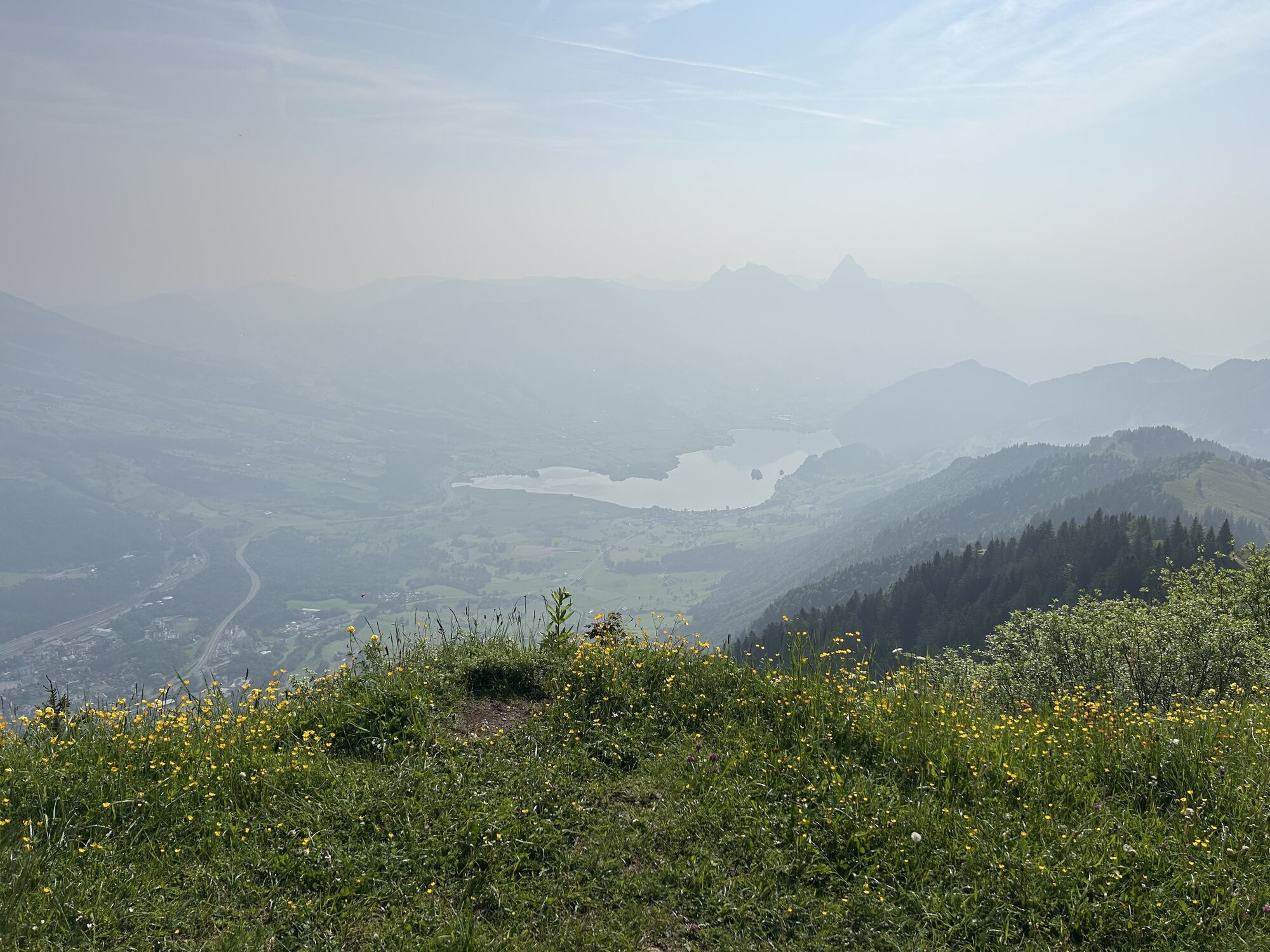
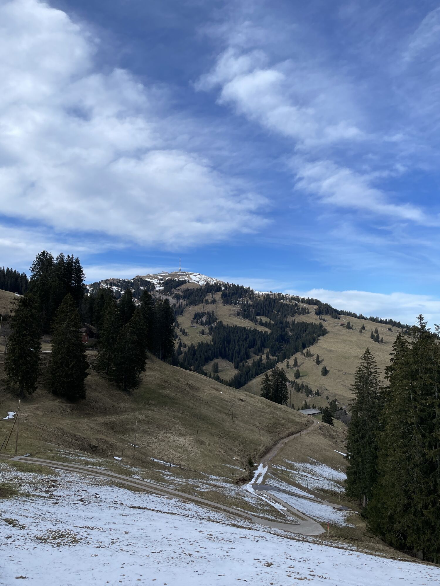
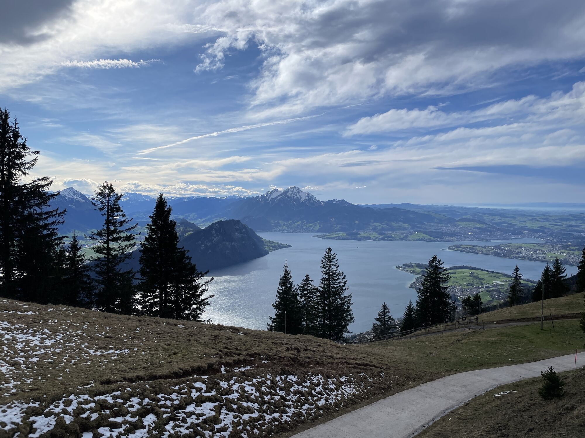
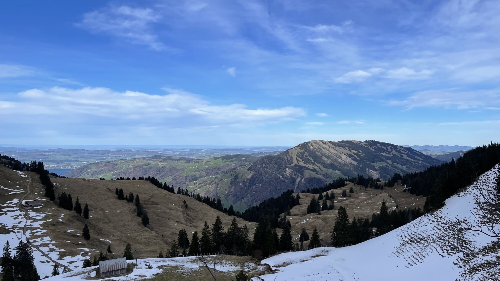
A richly diverse high-altitude hike topped off by an exhilarating climb to Dossen's peak! From Rigi Klösterli, there's a gentle incline as you walk up through the mountain forest and lush meadows via Heiterenboden on the way to Unterstetten. Here, you'll see the former Scheidegg railway line with it's impressive bridge and there's also a large picnic area where you can take a well-earned rest. Afterwards you have to face to Dossen's steep slopes, but once you reach the summit, the breathtaking view of Lake Lucerne an Bürgenstock peninsula will make whole trip more than it worth. This is literally the apex of the trail. It's followed by a gradual descent into Hinterdossen and a mostly flat path from there to Scheidegg for a relaxing conclusion to the hike. An aerial cable car connects Scheidegg with Kraebel, where there's also a Rigi cogwheel train station.
For your information
In order to let our next generation also could enjoy the beauty of the Rigi, we would like to ask you to dispose of your own waste in the waste bins which are located at all of the stations of RIGI BAHNEN AG. Thank you.

Rigi Klösterli (1373 m) – Heiterenboden (1331 m) – Unterstetten (1499 m) – Dossen (1684 m) – Hinder Dossen (1546 m) – Rigi Scheidegg (1658 m)
Sturdy shoewears and weather-adjusted clothing are recommended.
A4 highway - exit Goldau - Rigi mountai railway station Arth-Goldau
Further information of getting there and parking
Arrive comfortably by cogwheel train from Arth-Goldau
There are plenty parking spaces avaliable at the valley stations. Fees apply.
However, we recommend public transport instead of cars: lean back, be stress-free and do something good for the environment.
Dossen is my favarioute place of this hike. From there you have the wonderful view over the lake lucerne.
Webcams de la tournée

Parcours populaires à proximité
- 4,6
Gratwanderung Klingenstock
facileRandonnée 9,36 km - 4,6
Rundwanderung
facileRandonnée en montagne 12,9 km - 4,7
Stanserhorn
facileRandonnée 17,9 km - 4,5
Kleiner Mythen
moyenRandonnée 6,31 km - 3,9
Rundweg Seebodenalp Küssnacht am Rigi, Schweiz
moyenRandonnée 9,56 km - 4,7
Mythen via Ibergeregg
moyenRandonnée 9,73 km - 4,4
Seebodenalp Panoramaweg
facileRandonnée 5,25 km - 4,8
Holzegg - Grosser Mythen - Restaurant Grosser Mythen - Alpwirtschaft Brunnialp
moyenRandonnée 5,66 km - 3,9
Gnipen - ab Goldau - Rundwanderung
moyenRandonnée 10,6 km - 5,0
Wanderung entlang der Mythen, Alp "Zwüschet-Mythen"
moyenRandonnée 10,5 km
Randonnée et suivi


Ne manquez pas les offres et l'inspiration pour vos prochaines vacances
Votre adresse électronique a été ajouté à la liste de diffusion.





