







Karstspur Silberen

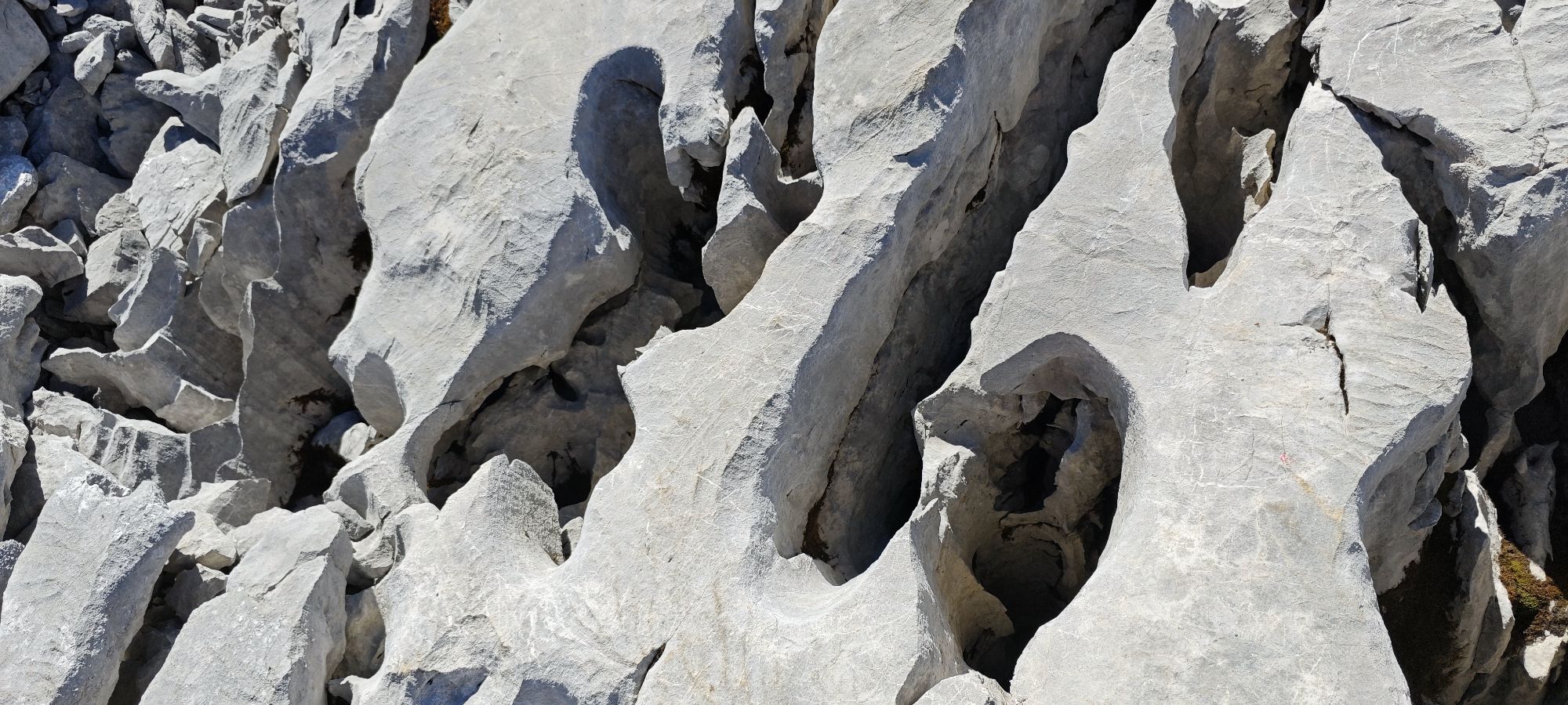
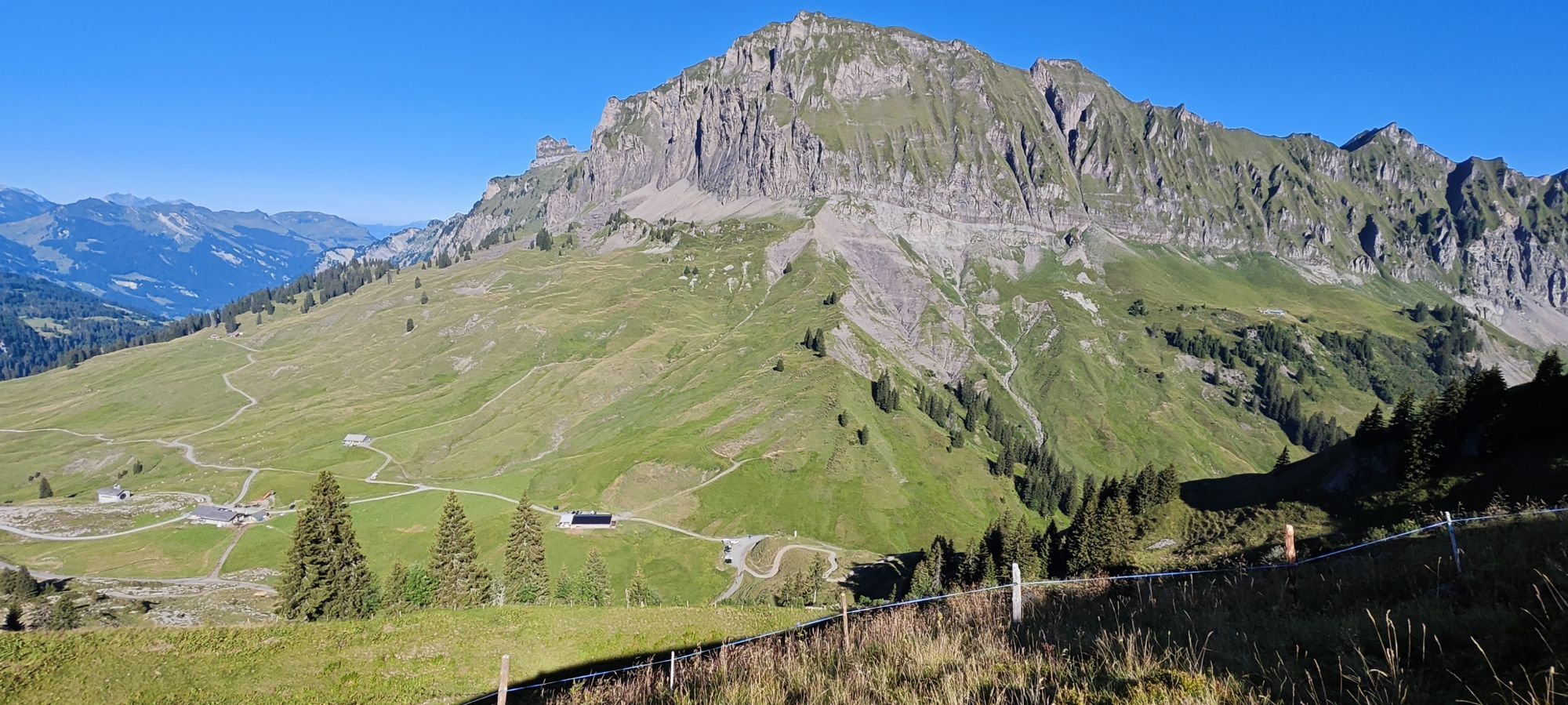
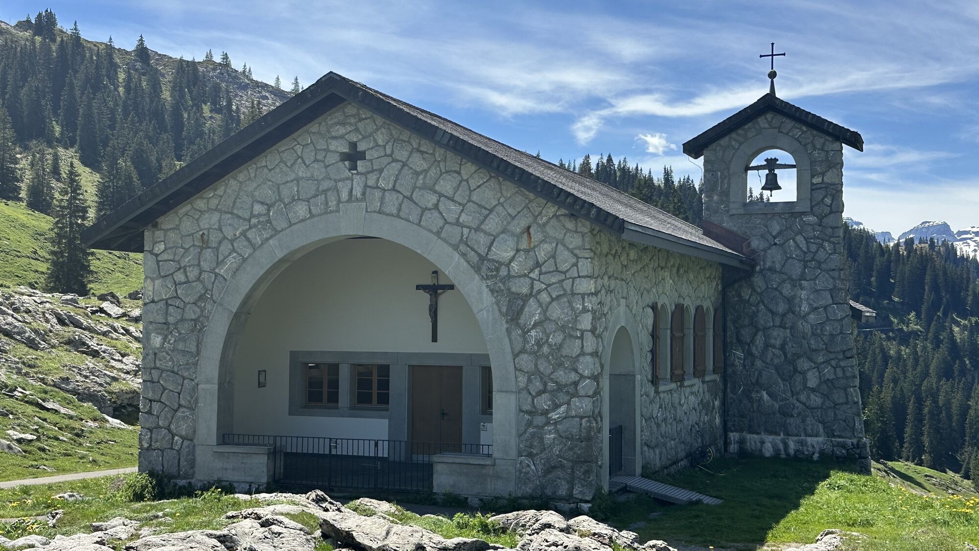
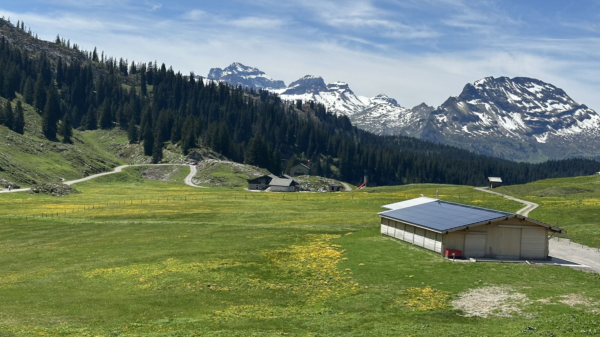
The ascent leads you steadily away from grazed alps to the inhospitable, bizarre karst area of the Silberen. The whistle of marmots shows that you have long since been discovered. Chamois also understand...
The ascent leads you steadily away from grazed alps to the inhospitable, bizarre karst area of the Silberen. The whistle of marmots shows that you have long since been discovered. Chamois also understand the signal and seek the distance. It's hard to imagine that 10,000 years ago, prehistoric hunters were hunting red deer and ibex up here. Not far from the summit cross you will find traces of a long gone settlement site. The breathtaking panoramic view and solitude invite you to linger. From here, the clearly marked trail leads eastwards across the high plateau and makes its way through a karst landscape shaped by water and steeped in legend. With a bit of luck, ptarmigan can be seen here. Unexpectedly, you soon find yourself in the extensive sheep pastures of the Silberenalp. Countless small pools of water reflect the sunlight. The way back to Pragel is characterised by the view into the Klöntal valley with the deep blue mountain lake.

Pragelpass - Butzen - Silberen - Alpeli - Pragelpass
Saison:
Achtung: Das Gebiet ist niederschlagsreich und kann bis in den Frühling hinein Schneefelder aufweisen.
Belag/Untergrund:
Achtung: Karst ist stark zerklüftet und bedarf einer guten Trittsicherheit.
Wegweisung:
Achtung: Da auf dem Hochplateau landschaftliche Orientierungspunkte fehlen, sind mehr Markierungen als üblich angebracht.
Muotathal liegt in der Zentralschweiz und ist mit dem Auto gut erreichbar. Aus Richtung Basel-Luzern:Weiter auf der A14 von Luzern in Richtung Zug. Nach 20 km erreichen Sie die Kreuzung Rütihof. Dort nehmen Sie die Autobahn A4 in Richtung Schwyz. Nehmen Sie die Ausfahrt Schwyz und folgen Sie der Beschilderung Richtung Muotathal.Aus Richtung Bodensee und Rapperswil:Bei Rapperswil fahren Sie Richtung Pfäffikon / Gotthard. In Pfäffikon fahren Sie kurz auf der Autobahn A3 in Richtung Gotthard. Nehmen Sie dann die erste Ausfahrt Richtung Gotthard / Schwyz. Die Strasse führt über Rothenthurm und Sattel nach Schwyz. In Schwyz fahren Sie Richtung Muotathal.Aus Richtung Gotthard-Altdorf:Nehmen Sie die Umgehungsstraße (Tunnel) in Flüelen in Richtung Schwyz. Nach dem Mosi-Tunnel verlassen Sie die Autobahn an der Ausfahrt 40 Brunnen (Richtung Weggis/Gersau/Schwyz/Brunnen). Fahren Sie in Richtung Ibach/Schwyz und nehmen Sie am 2. Kreisverkehr in Ibach (beim Dany's Family Restaurant) die erste Ausfahrt Richtung Muotathal.
Muotathal liegt im Herzen der Zentralschweiz. Er ist mit den öffentlichen Verkehrsmitteln mit dem Bus der Auto AG Schwyz Nr. 1 ab Bahnhof Schwyz erreichbar.Die Strecke zwischen der Muotathal Post und der Talstation der Sahli/Glattalpbahn wird mit dem Minibus Nr. 6 bedient.
Parcours populaires à proximité
-
4,7
Rhodannenberg - Vorder Ruestelchopf - Vorauen - Steppel
Randonnée 13,6 km -
4,7
Obersee Rundwanderung
moyenRandonnée 11,2 km -
5,0
Chli Aubrig
facileRandonnée 8,51 km -
4,8
Vorder Glärnisch
moyenRandonnée 4,64 km -
4,9
Innerthal - Felsenegg - Fläschloch - Stausee
moyenRandonnée 12,8 km -
4,7
Klöntalersee
facileRandonnée 14,5 km -
4,4
Sattelegg - Muttergottes- und Bruderklausenkapelle - Wildegg - Chli Aubrig
moyenRandonnée 9,57 km -
4,2
Bockmattli
moyenRandonnée 12,4 km -
2,8
Braunwald - Oberblegisee - Luchsingen oder Schwanden
moyenRandonnée 16,1 km -
3,7
Braunwald
moyenVia ferrata 11,4 km
Randonnée et suivi


Ne manquez pas les offres et l'inspiration pour vos prochaines vacances
Votre adresse électronique a été ajouté à la liste de diffusion.





