






Steinen circular route - "To our vantage point"
Shortly after the start at Steinen station, the circular trail follows the right bank of the Steiner Aa. With a bit of luck, a dipper can be spotted on a stone. After crossing the Steiner Aa, it is worth...
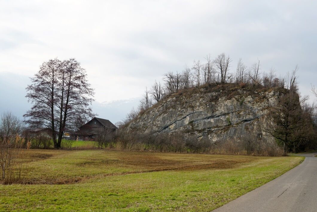
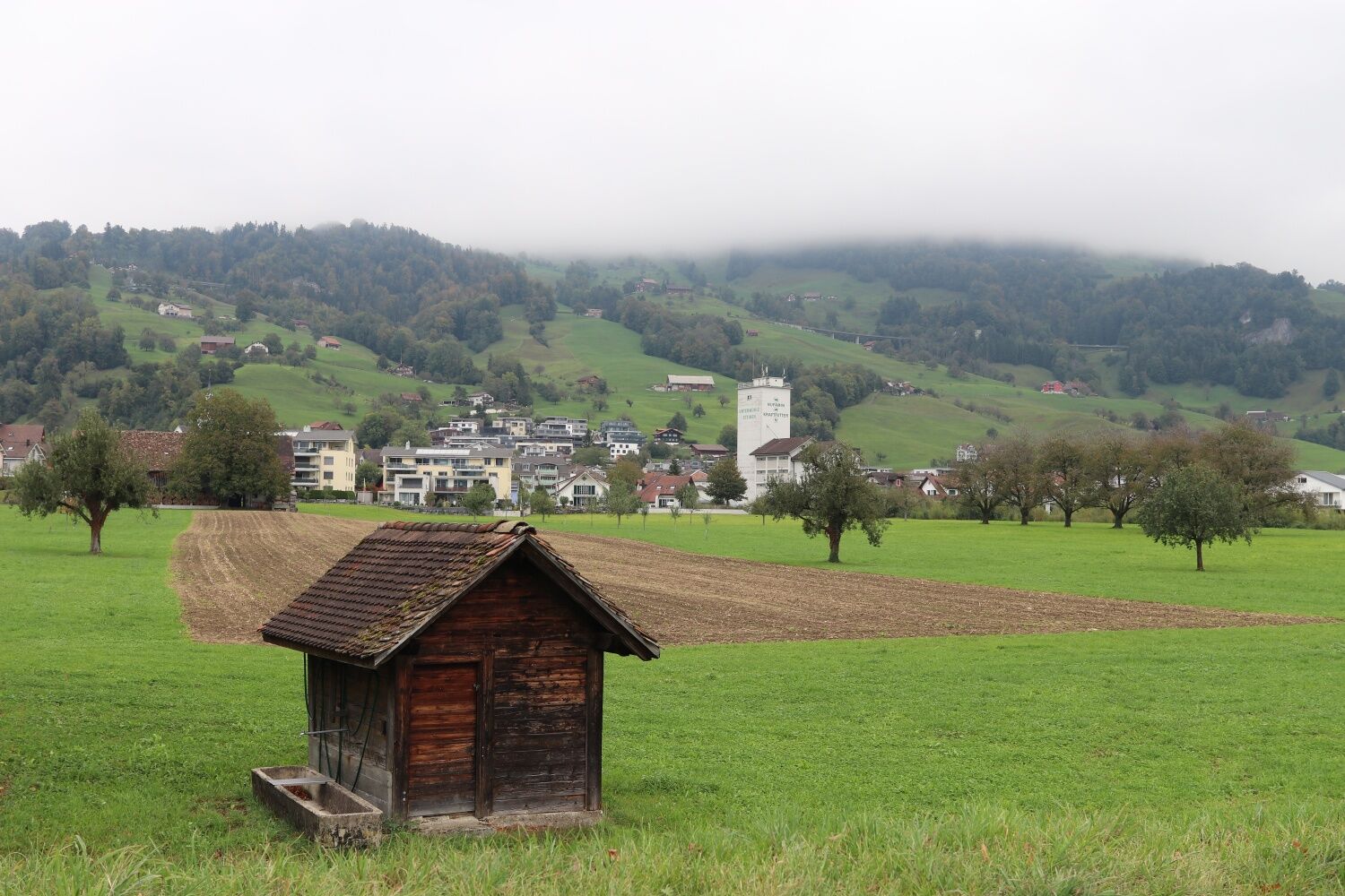
Shortly after the start at Steinen station, the circular trail follows the right bank of the Steiner Aa. With a bit of luck, a dipper can be spotted on a stone. After crossing the Steiner Aa, it is worth making a detour to the Alters- und Pflegezentrum Au (APZ Au). You can have a bite to eat in the APZ café and the public playground invites you to linger. Back on the Gotthard Trail, you can walk down to the Choli bathing area on a hot summer day and treat yourself to a short refreshment in Lake Lauerz. Then simply walk back and head towards Schornen. There, visitors can enjoy a unique view of Lake Lauerz and the surrounding area. From Schornen, the path leads through flat, open cultivated land. On the edge of the village, a few high-trunk orchards still bear witness to the traditional cultivation of the land. From the Grosshergottskappelle chapel there is a direct route back to the station for visitors in a hurry. Otherwise, simply follow the path towards the village and then to the station.

Steinen railway station 467 m.a.s.l. - Gotthardweg 452 m.a.s.l. - Schornen 476 m.a.s.l. - Au 462 m.a.s.l. - Steinen village 474 m.a.s.l. - Steinen railway station 467 m.a.s.l.
Hiking shoes or trainers, rain jacket, drink and food.
From Goldau, drive in the direction of Steinen (Goldauerstrasse) and from Schwyz on Schwyzerstrasse in the direction of Steinen. Pass the village square in the direction of Steinen railway station.
At Steinen station there is a car park where you can park for a fee.
"After the round walk, as a reward, nibble something sweet at the Büeler bakery and enjoy a café to go with it."
Webcams de la tournée
Obtenez un aperçu
Toujours en direct avec plus de 9.500 webcams. En tant qu'utilisateur Pro, vous pouvez désormais voir les webcams correspondantes à de nombreuses randonnées dans l'application de randonnées de bergfex. Vous pouvez ainsi voir directement les conditions actuelles.
Parcours populaires à proximité
-
4,8
Gratwanderung Klingenstock
facileRandonnée 9,36 km -
4,6
Rundwanderung
facileRandonnée en montagne 12,9 km -
4,3
Mythenweg - Bergwanderung auf den Grossen Mythen
difficileRandonnée 3,40 km -
4,4
Kleiner Mythen
moyenRandonnée 6,31 km -
3,9
Rundweg Seebodenalp Küssnacht am Rigi, Schweiz
moyenRandonnée 9,56 km -
4,5
Brunni-Feuerstellen-Rundwanderung
facileRandonnée 11,5 km -
4,7
Mythen via Ibergeregg
moyenRandonnée 9,73 km -
4,4
Seebodenalp Panoramaweg
facileRandonnée 5,25 km -
3,9
Gnipen - ab Goldau - Rundwanderung
moyenRandonnée 10,6 km -
5,0
Wanderung entlang der Mythen, Alp "Zwüschet-Mythen"
moyenRandonnée 10,5 km
Randonnée et suivi


Ne manquez pas les offres et l'inspiration pour vos prochaines vacances
Votre adresse électronique a été ajouté à la liste de diffusion.





