







LEK Circular Trail 2022 "Up the Urmiberg"
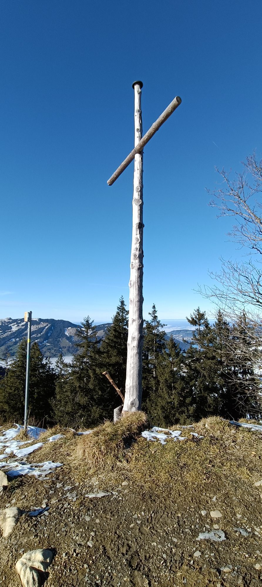
Urmiberg - Traditional cultural landscape
From Schwyz railway station, it takes just a few minutes to cross under the A4 motorway at the foot of the Urmiberg. During the ascent, the Fronalpstock is always...
Urmiberg - Traditional cultural landscape
From Schwyz railway station, it takes just a few minutes to cross under the A4 motorway at the foot of the Urmiberg. During the ascent, the Fronalpstock is always in view - the magnificent Mythen are at your back. The latter can be marvelled at comfortably from one of the benches during a first breather. Along the hiking trail you can observe plant species typical of the area. In the midst of the traditional cultivated landscape, characterised by high-trunk field fruit trees and dry stone walls, there is a magnificent view over the municipality of Schwyz.
Back to the valley floor at the Muota
The descent leads the hikers across meadows, along typical countryside paths down to the valley floor and occasionally onto Ingenbohl's municipal ground. In the distance, there is a momentary view of the Lake of Uri. At the bottom, a bridge leads over the Seeweren and the Muota, which meet here for the first time and then flow into Lake Lucerne almost three kilometres downstream at Brunnen. The trail then leads for a short section on the left bank upstream along the Muota.
Through the outskirts to the railway station
From the Muota, the circular trail leads past Agro Energie and the Wintersried sports facility through intensively used agricultural land to the edge of the Schwyz settlement. Along the gap road lined by a row of trees, you have a great view past the Fronalpstock to the Alps. A few seats invite you to linger. On the way back to the station, it is worth making a detour to the Bundesbriefmuseum. Along Bahnhofstrasse you can admire stately buildings and a magnificent stand of old trees.
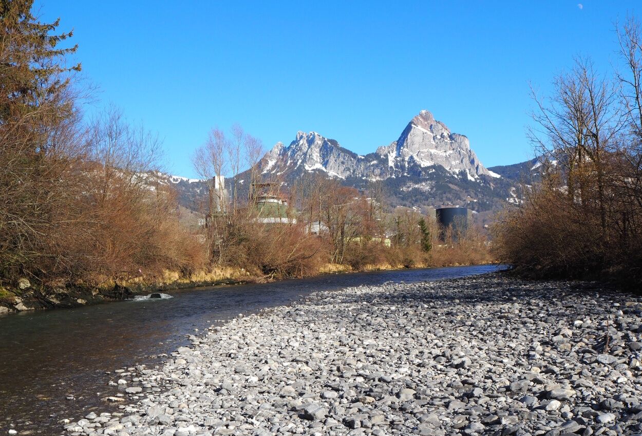

Bahnhof Schwyz, Seewen 455 m.ü.M - Husmatt 585 m.ü.M - Wiss-Erlen 533 m.ü.M - Stegstuden 448 m.ü.M - Wintersried 446 m.ü.M - Lücken 490 m.ü.M - Bahnhof Schwyz, Seewen 455 m.ü.M
Hiking shoes or trainers, rain jacket, drink, food, possibly poles.
From the Seewen / Schwyz motorway exit, drive in the direction of Schwyz. Parking directly at Schwyz railway station.
Travel by train to Schwyz station.
Paid parking directly at Schwyz train station.
After the circuit, explore the museums of Schwyz:Forum of Swiss History & the Bundesbrief Museum
Webcams de la tournée
-
Bergstation Brunni-Haggenegg
-
Bärenfang
-
Talstation Skilift Brunni
-
Bergstation Stägleren/Rotenflue
-
Mostelberg - Sattel
-
Talstation Skilift Brunni
-
Stoos - Fronalpstock
-
Stoos - Fronalpstock
-
Stoos - Fronalpstock
-
Stoos - Fronalpstock
-
Stoos - Fronalpstock
-
Stoos - Fronalpstock
-
Stoos - Fronalpstock
-
Stoos Dorf
-
Stoos Dorf
-
Stoos Dorf
-
Stoos Dorf
-
Stoos Dorf
-
Stoos Dorf
-
Stoos - Fronalpstock
-
Stoos Dorf
-
Stoos Dorf
-
Brunnen am Vierwaldstättersee
-
Mostelberg Engelstock
-
Rotenflue
-
Schwyz
-
Morschach
-
Holzegg Bergstation
Obtenez un aperçu
Toujours en direct avec plus de 9.500 webcams. En tant qu'utilisateur Pro, vous pouvez désormais voir les webcams correspondantes à de nombreuses randonnées dans l'application de randonnées de bergfex. Vous pouvez ainsi voir directement les conditions actuelles.
Parcours populaires à proximité
-
4,9
Gratwanderung Klingenstock
facileRandonnée 9,36 km -
4,6
Rundwanderung
facileRandonnée en montagne 12,9 km -
4,3
Mythenweg - Bergwanderung auf den Grossen Mythen
difficileRandonnée 3,40 km -
4,3
Kleiner Mythen
moyenRandonnée 6,31 km -
3,9
Rundweg Seebodenalp Küssnacht am Rigi, Schweiz
moyenRandonnée 9,56 km -
4,5
Brunni-Feuerstellen-Rundwanderung
facileRandonnée 11,5 km -
4,7
Mythen via Ibergeregg
moyenRandonnée 9,73 km -
4,4
Seebodenalp Panoramaweg
facileRandonnée 5,25 km -
3,9
Gnipen - ab Goldau - Rundwanderung
moyenRandonnée 10,6 km -
5,0
Wanderung entlang der Mythen, Alp "Zwüschet-Mythen"
moyenRandonnée 10,5 km
Randonnée et suivi


Ne manquez pas les offres et l'inspiration pour vos prochaines vacances
Votre adresse électronique a été ajouté à la liste de diffusion.





