







Hochstuckli summit enjoyment: Mostelberg - Rotenflue
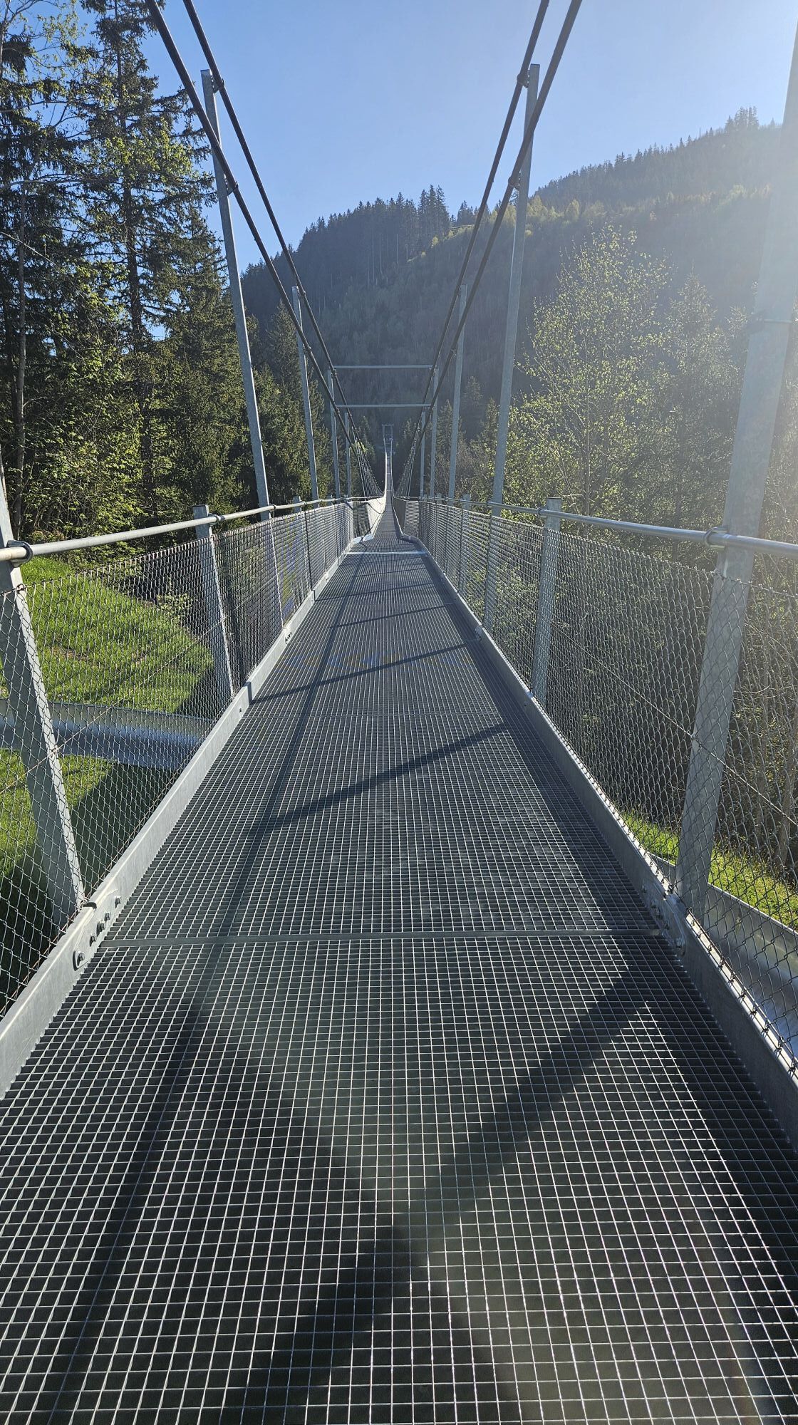
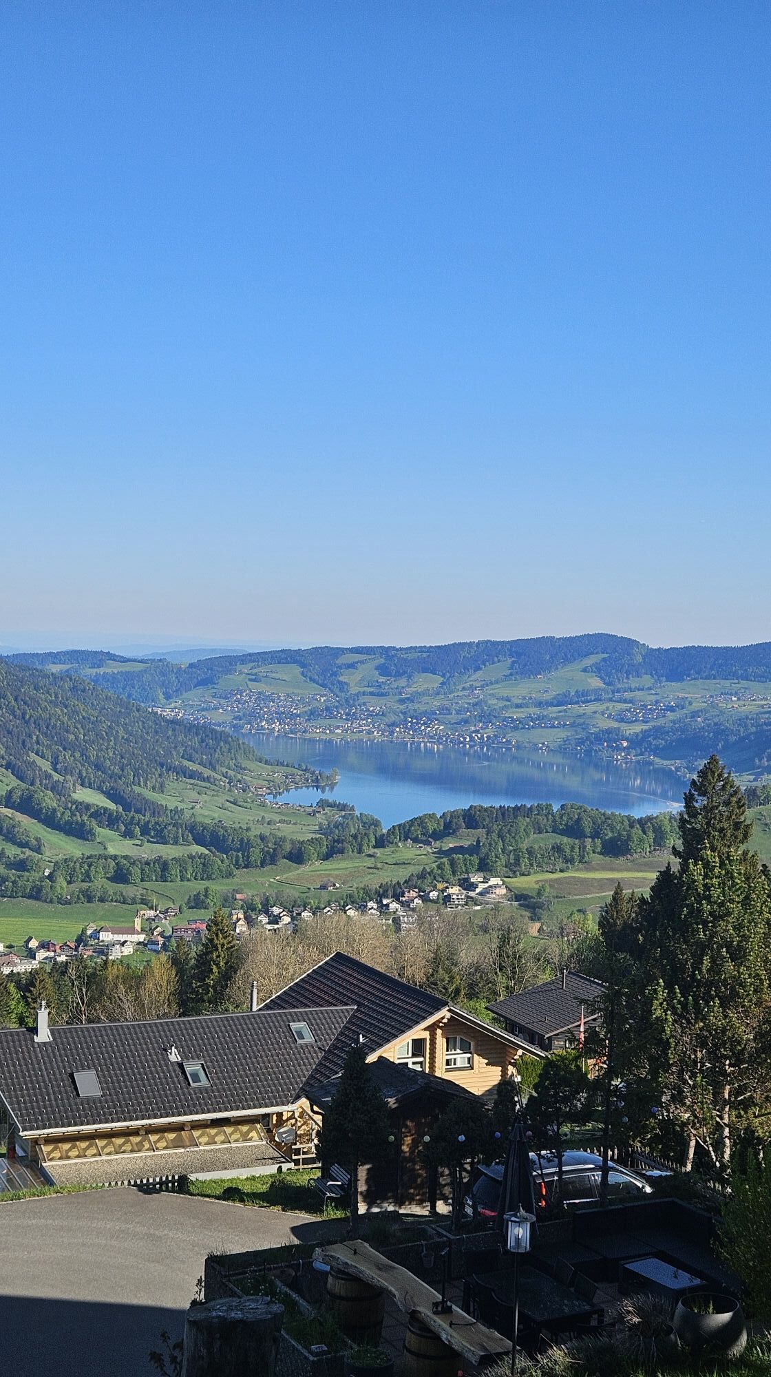
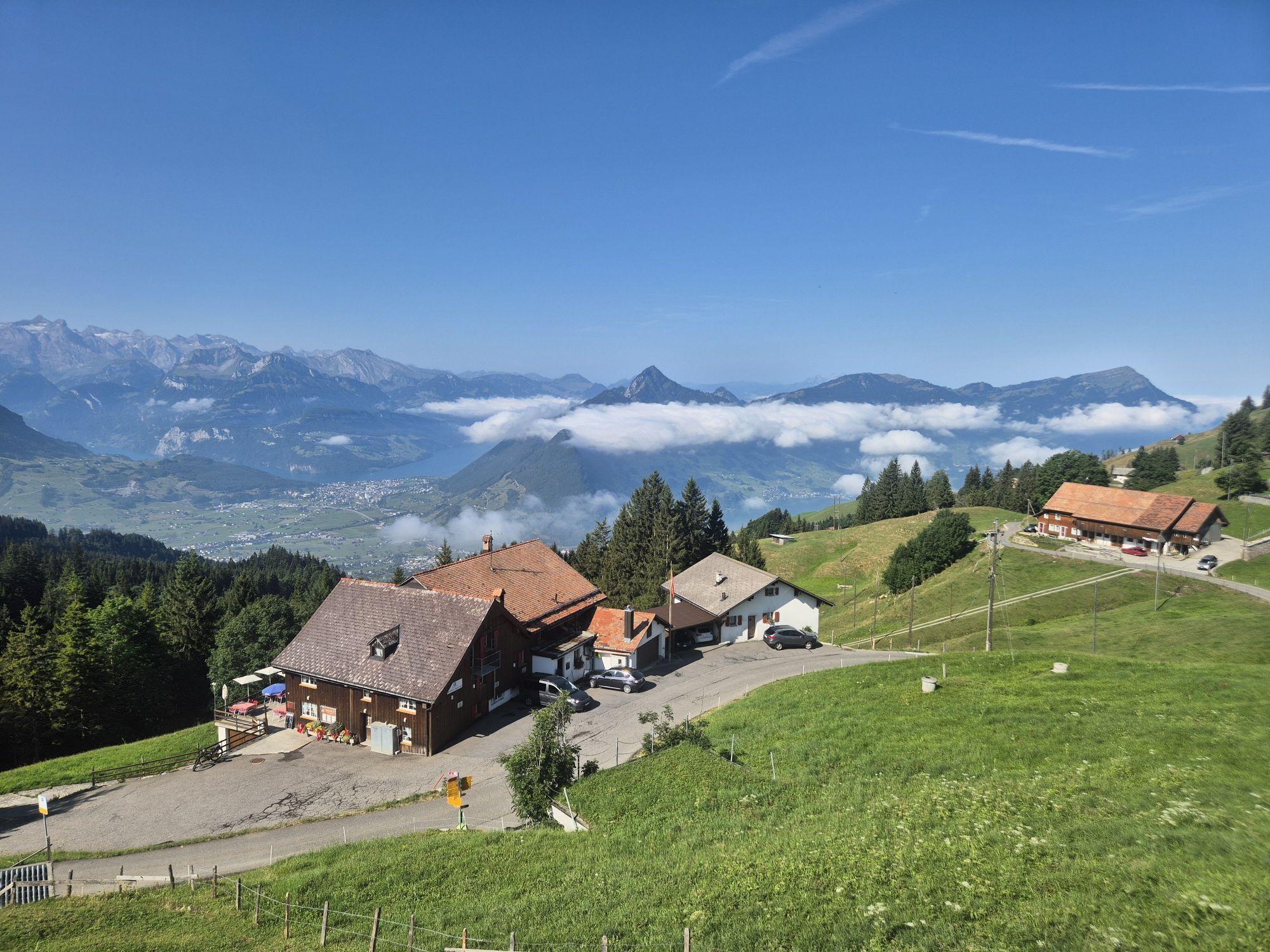
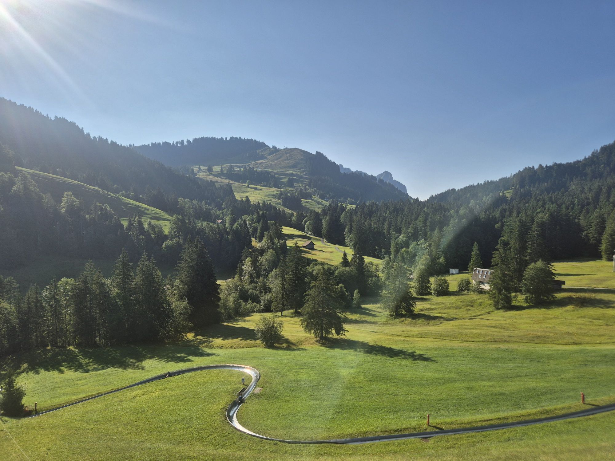
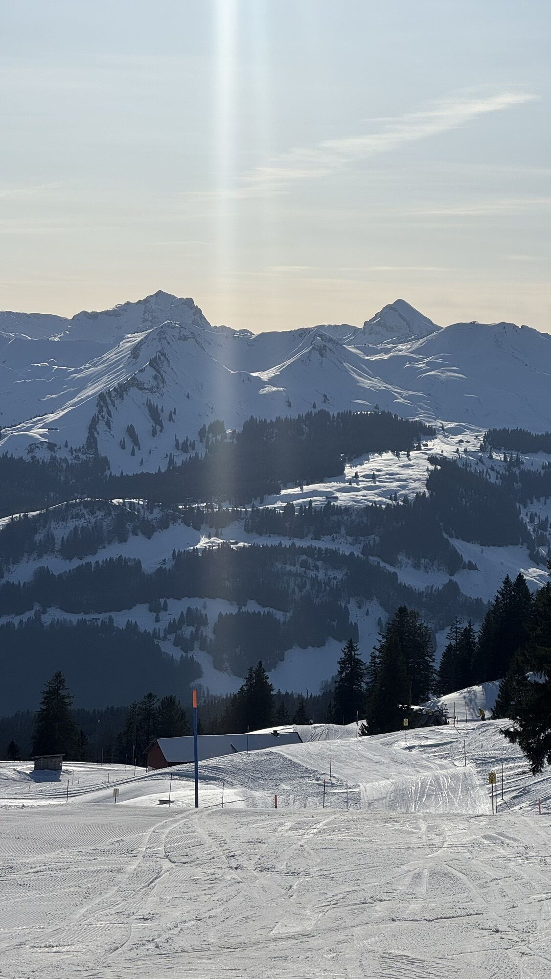
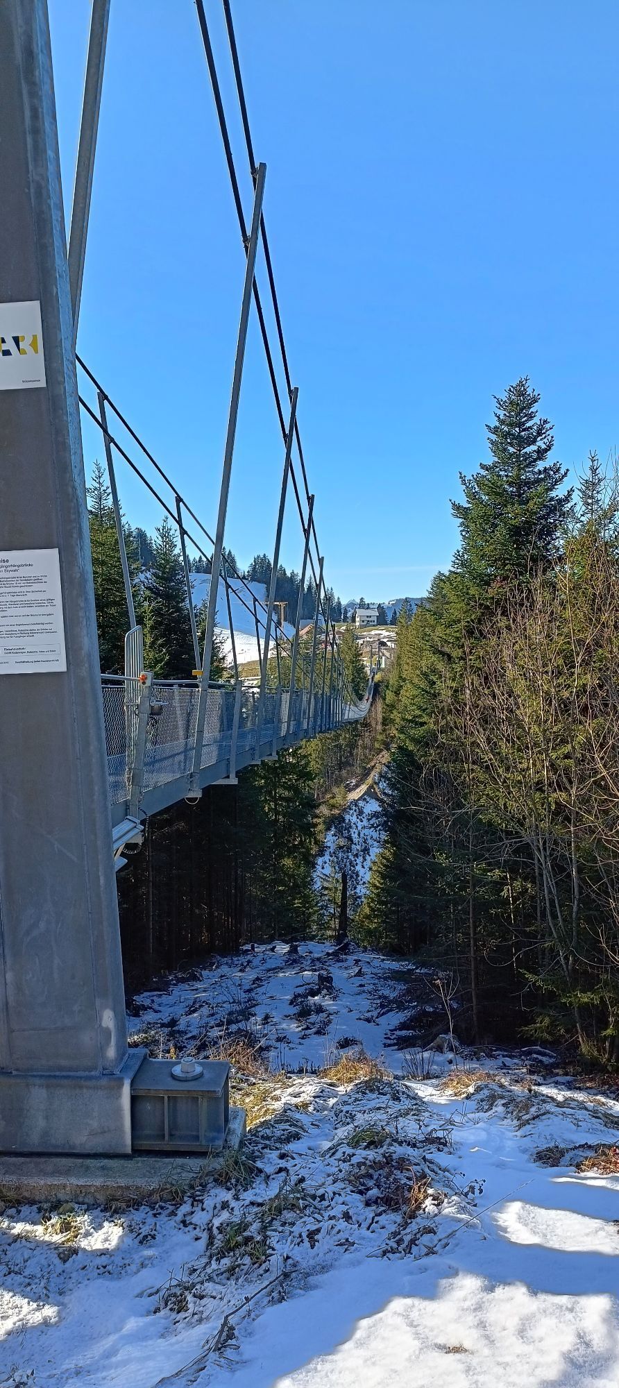
The Hochstuckli-Gipfelgenuss hike begins in Sattel-Hochstuckli (Mostelberg), at the mountain station of the Stuckli Rondo revolving gondola. Once at the top, it is worth taking a short detour to the 374-metre-long...
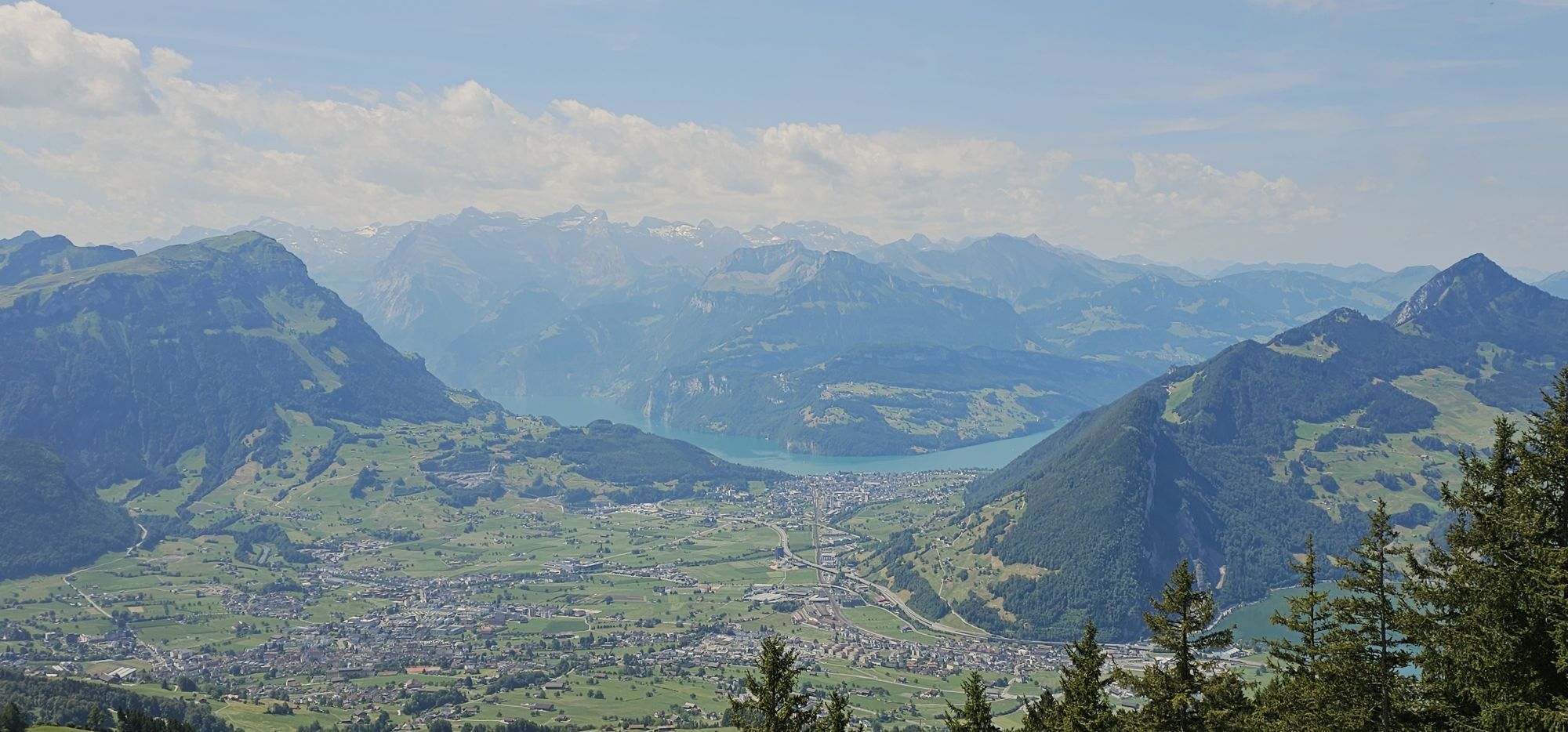
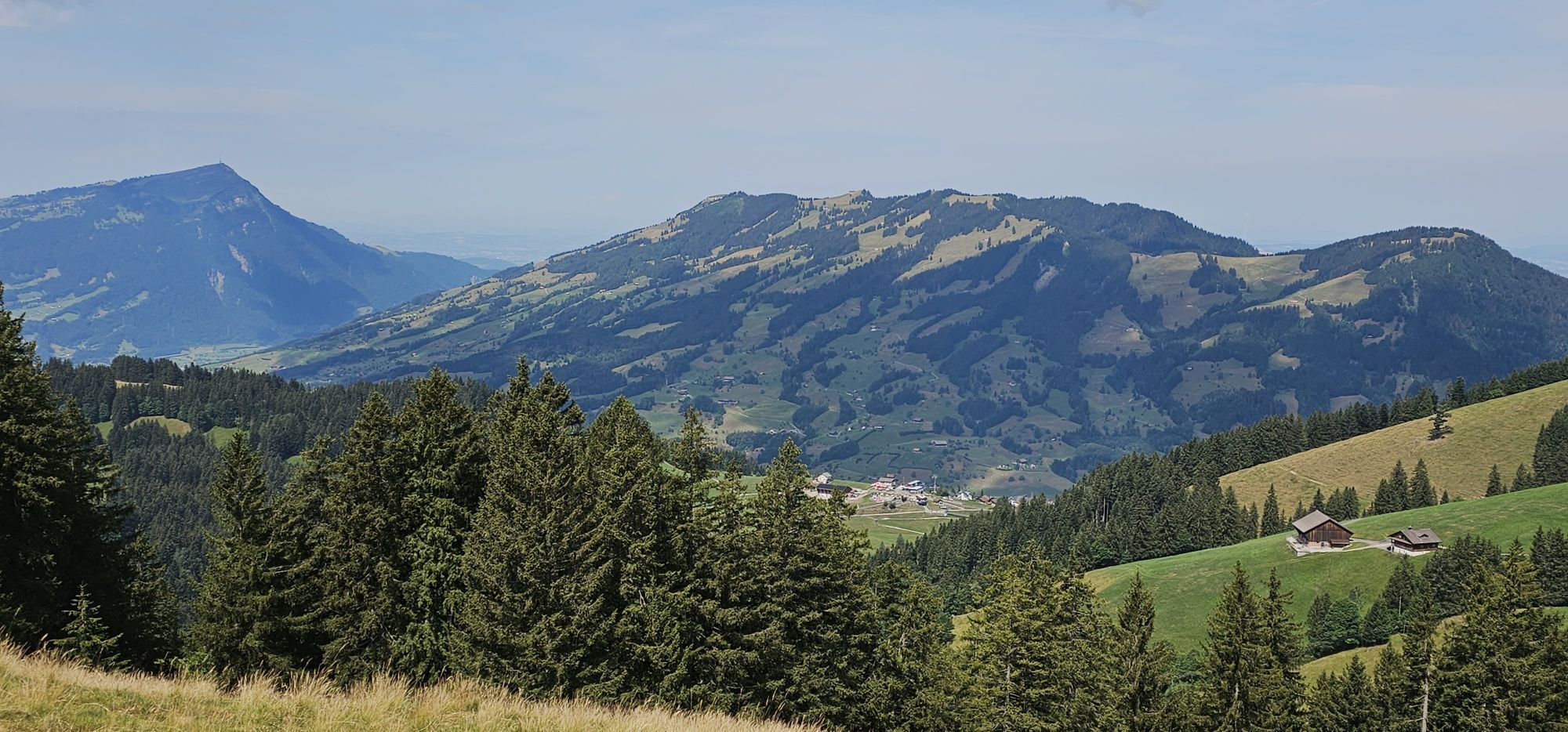
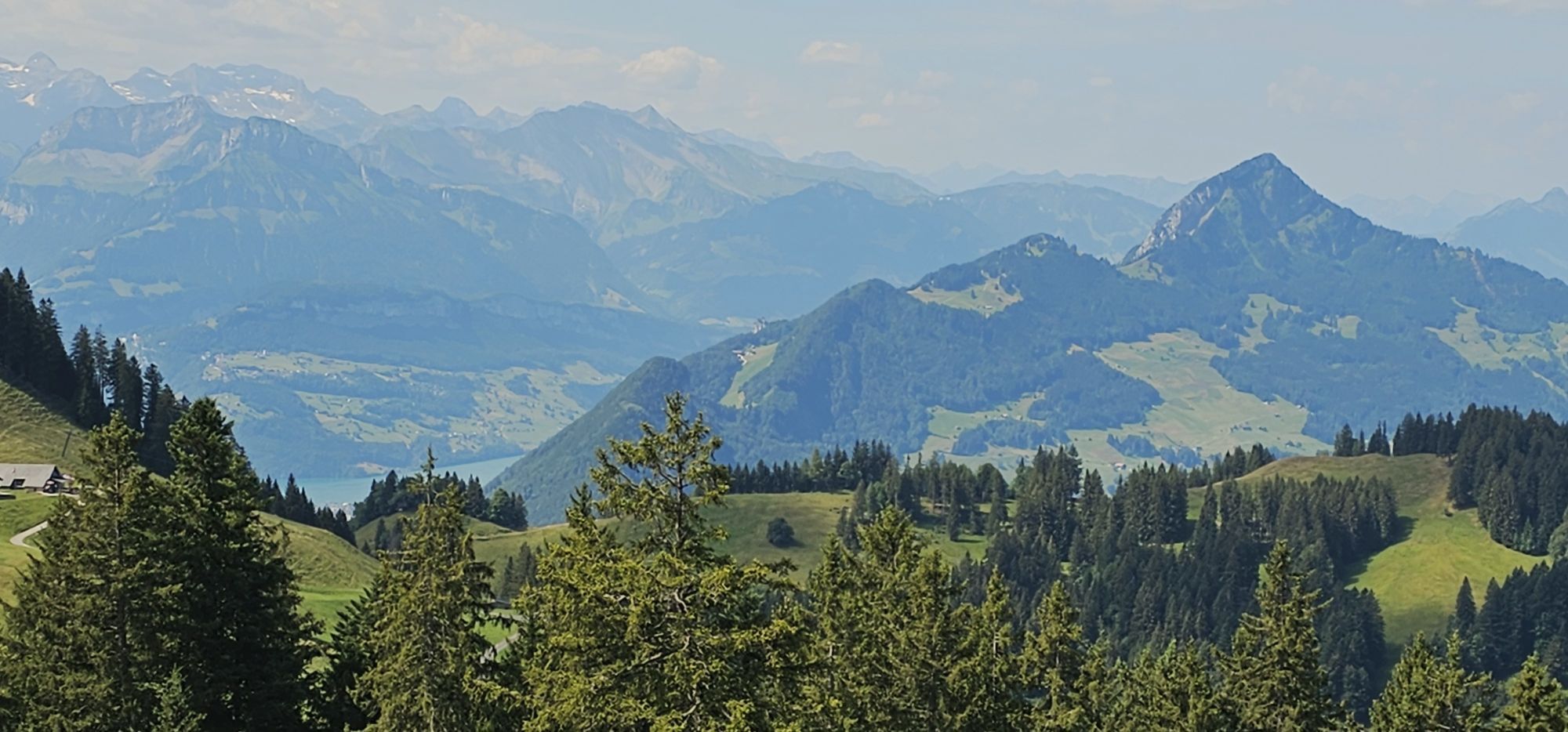
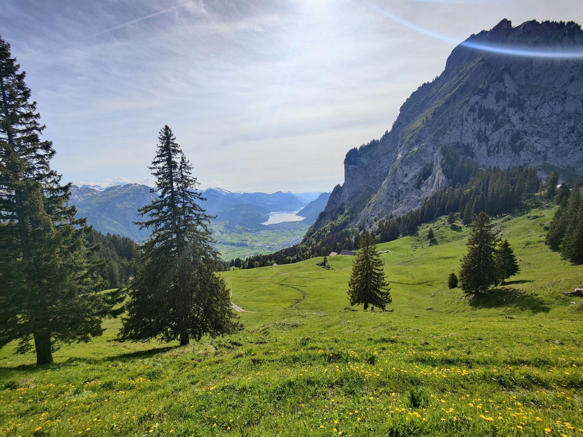
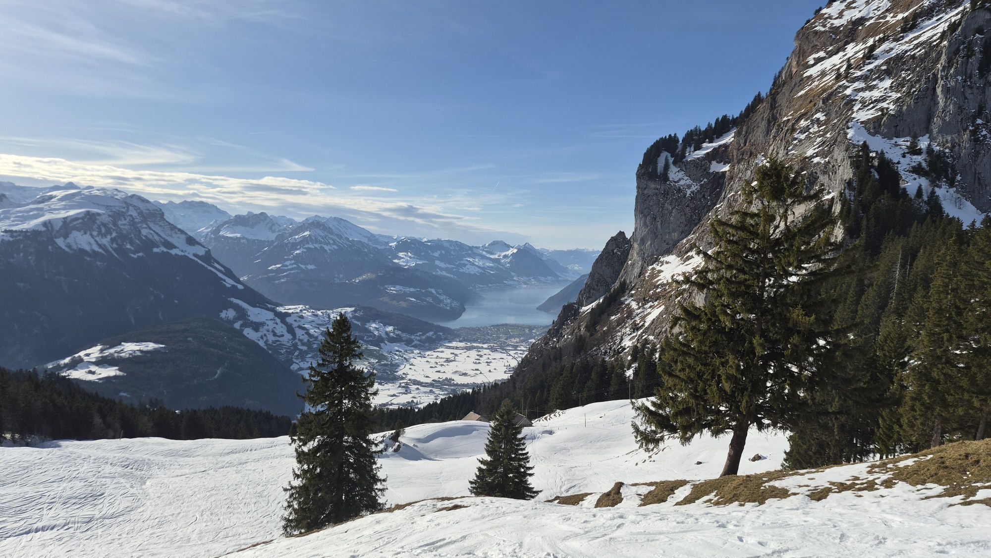
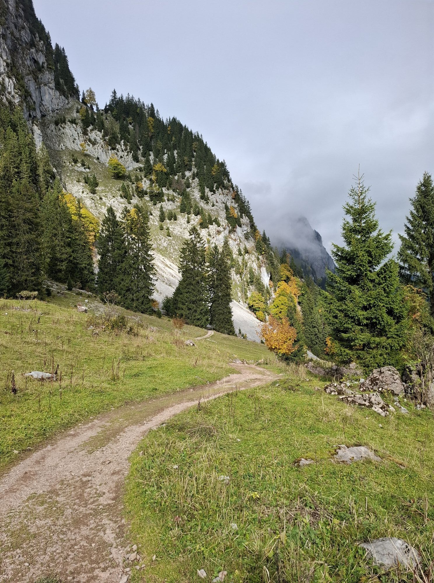
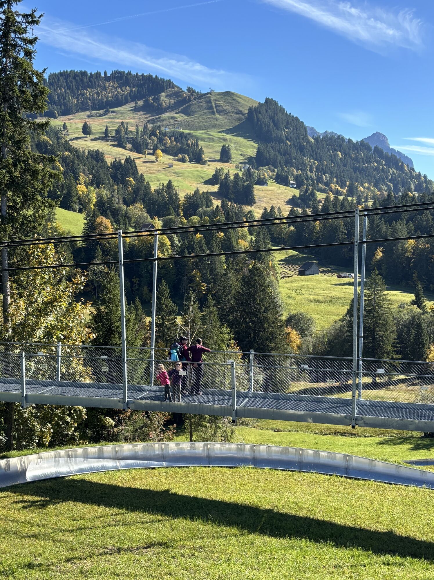
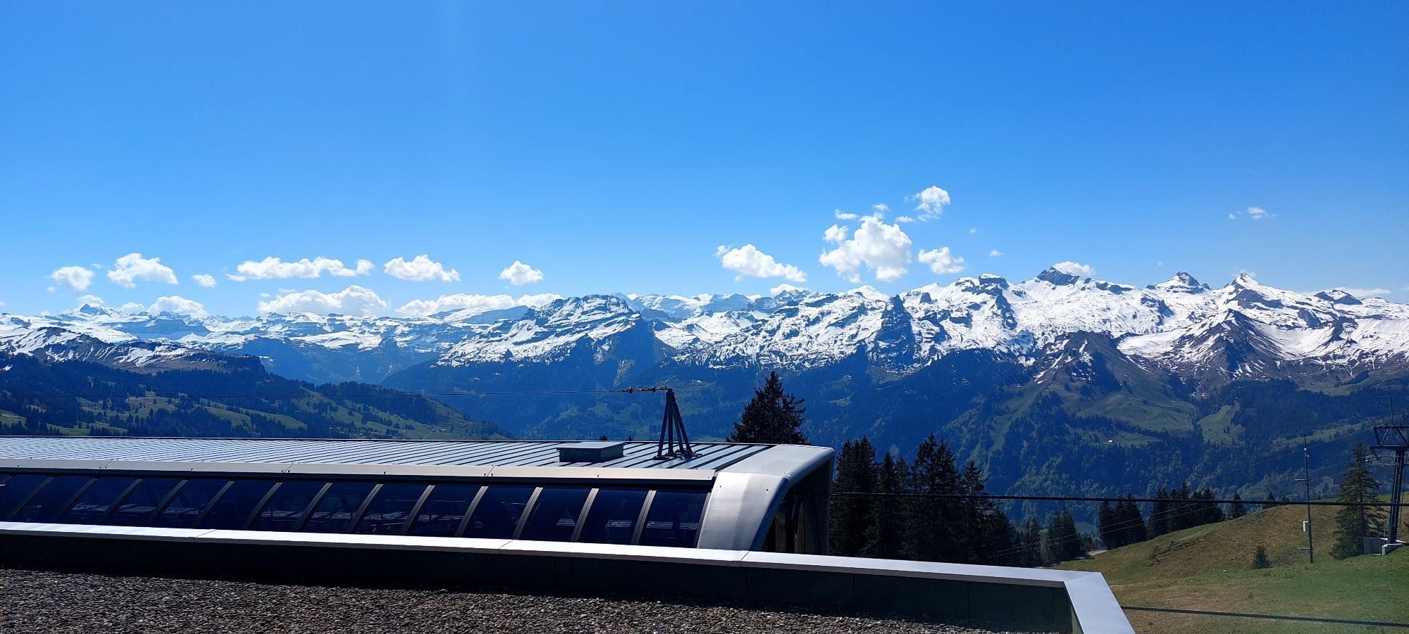
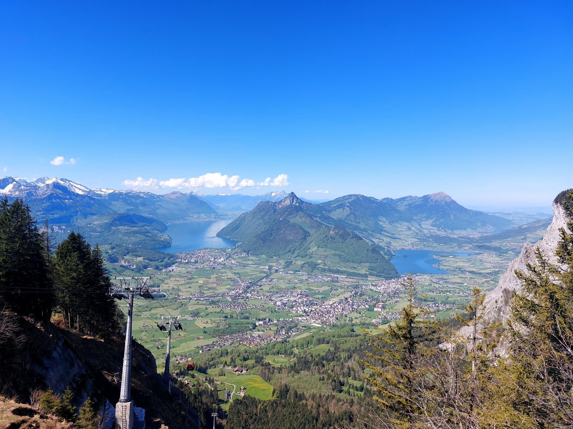
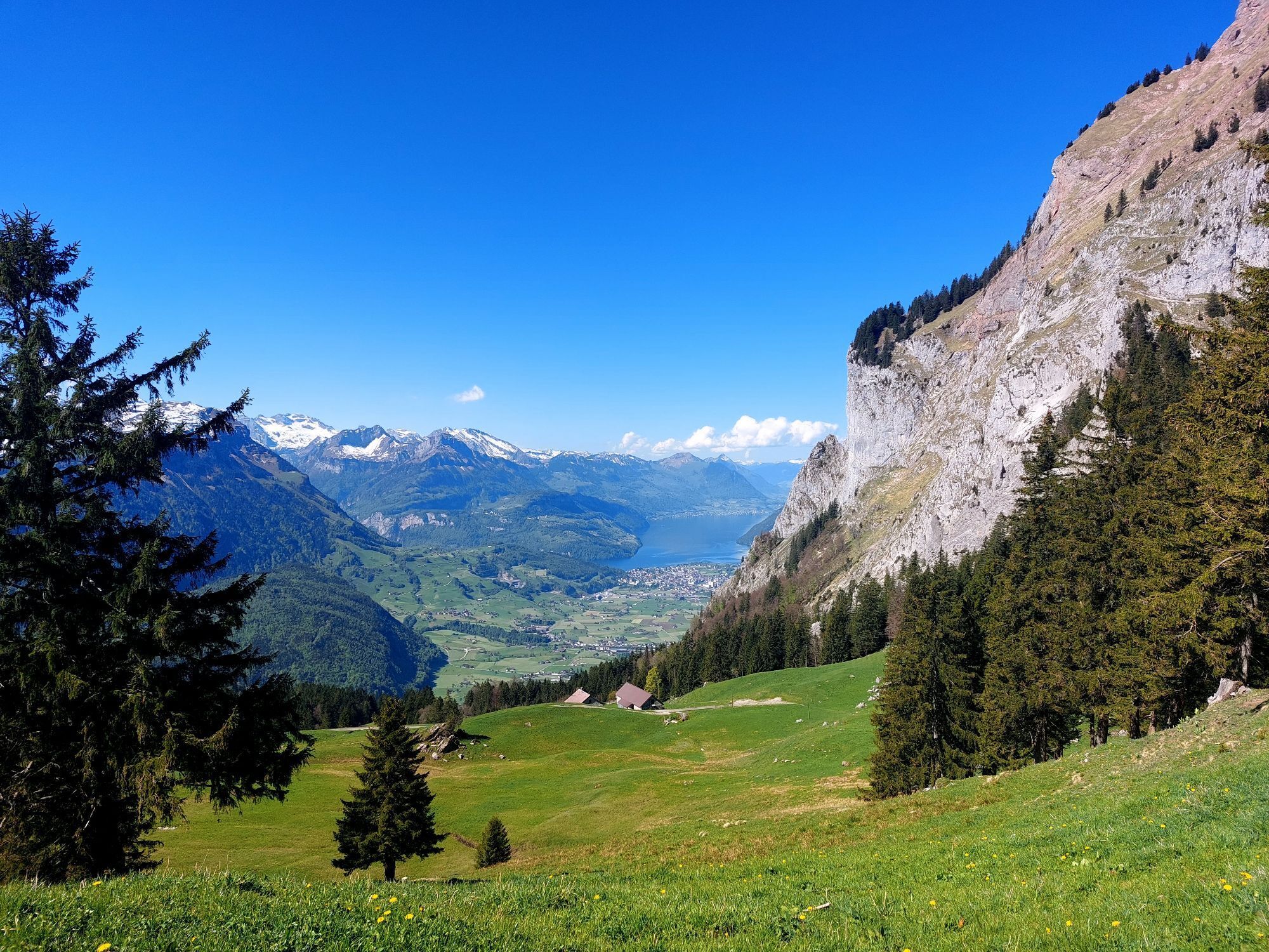
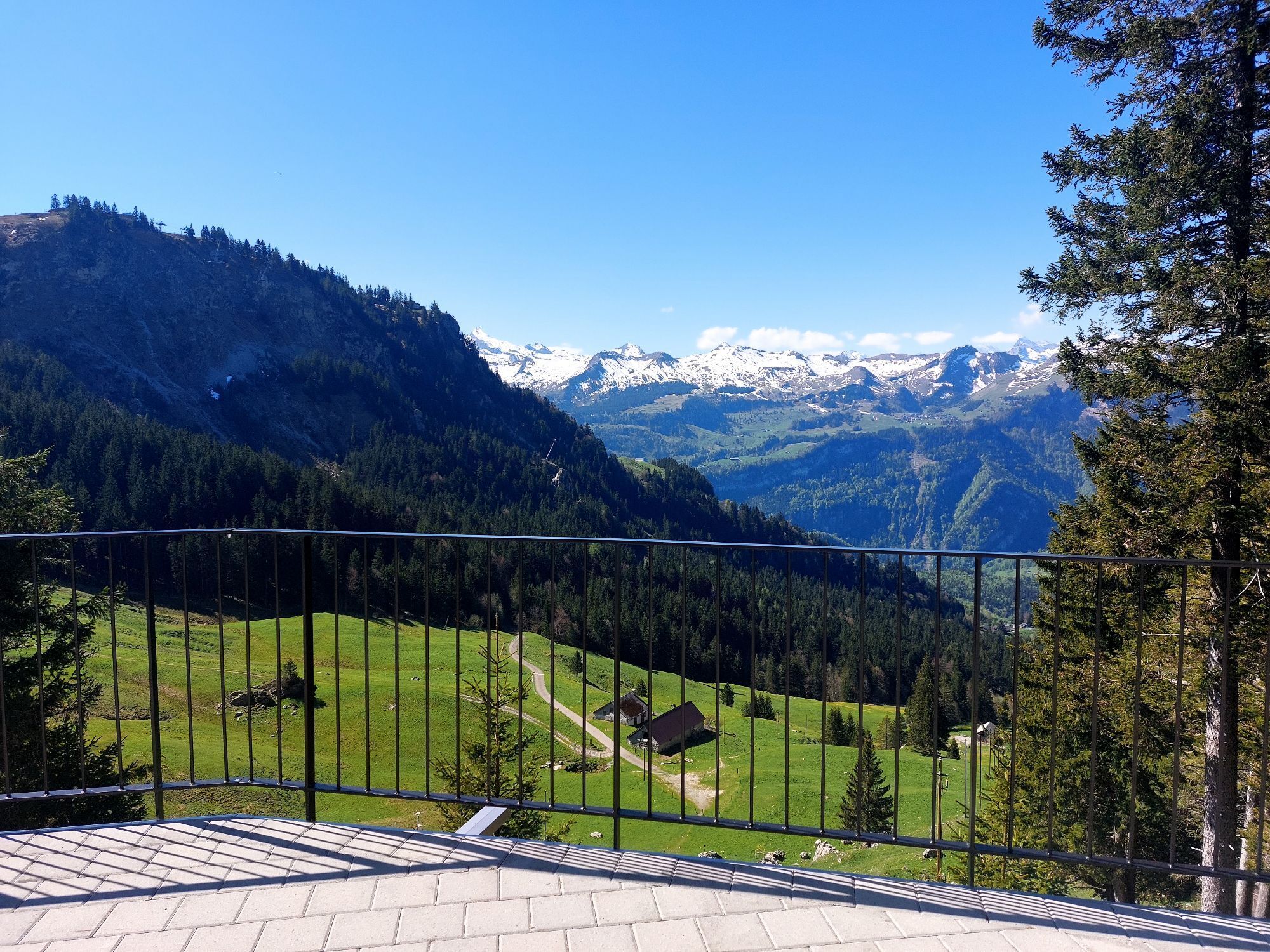
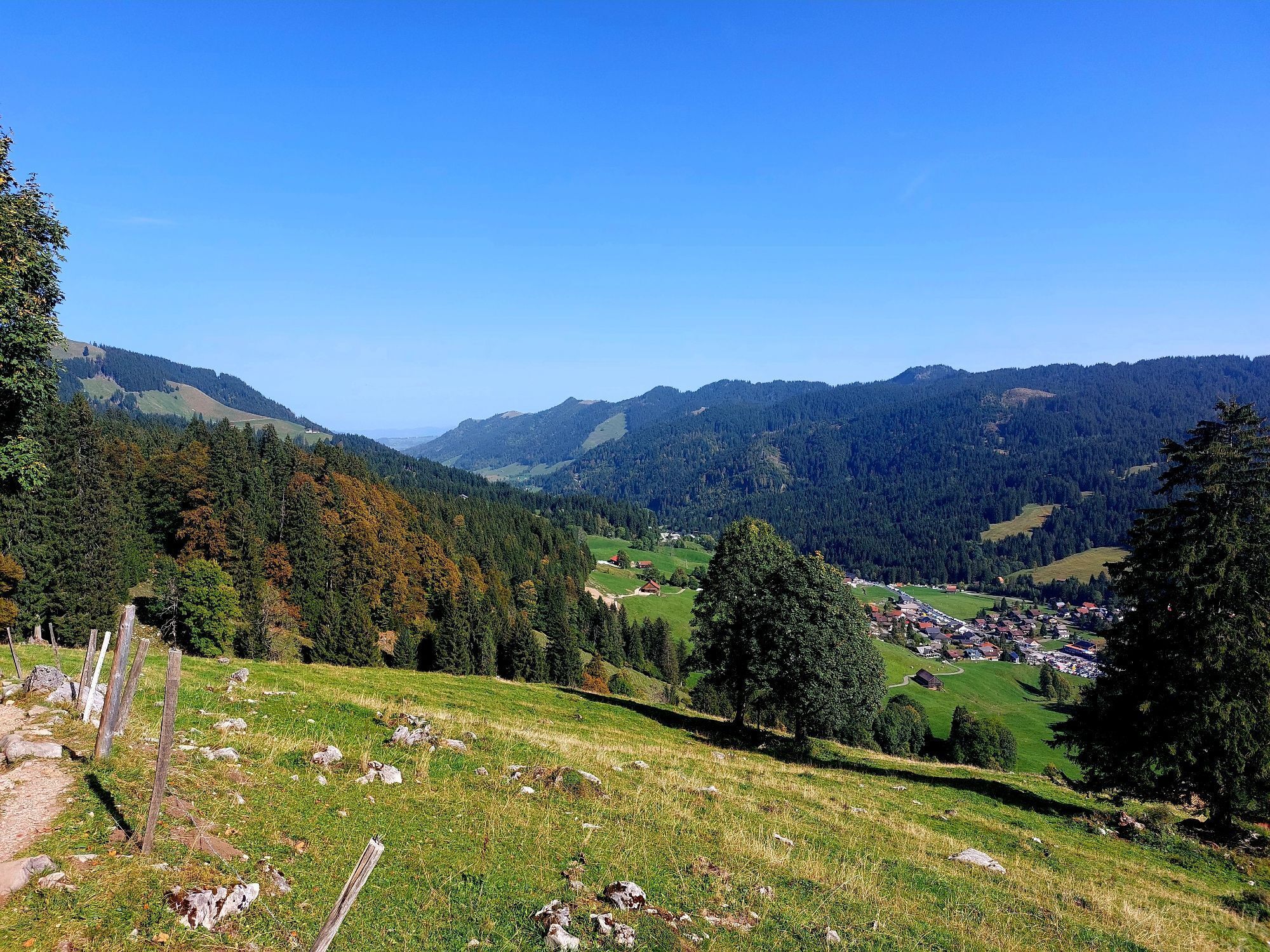
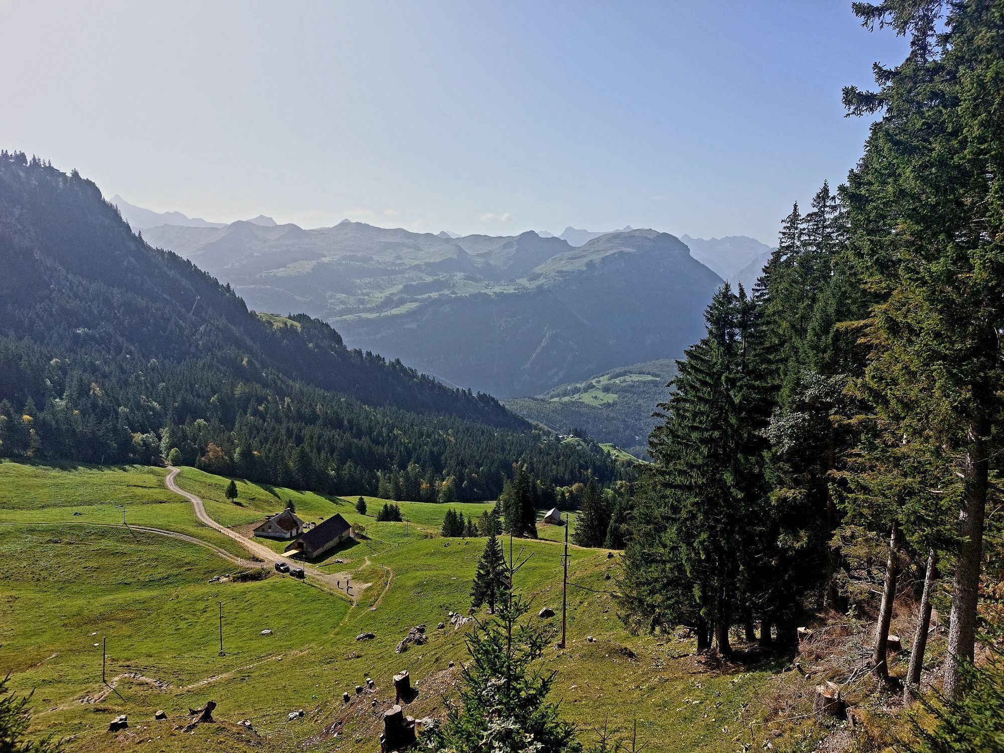
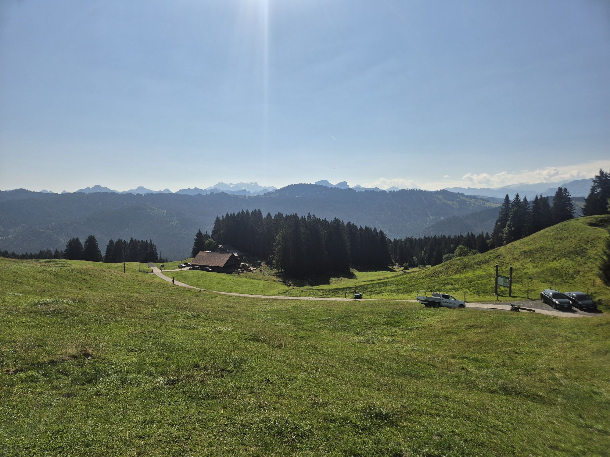
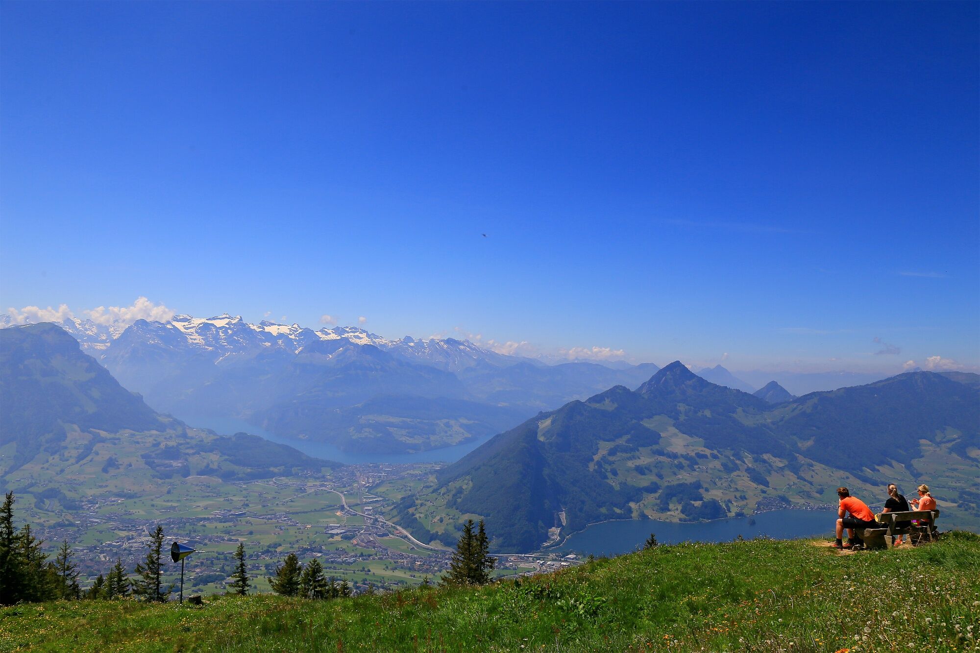
The Hochstuckli-Gipfelgenuss hike begins in Sattel-Hochstuckli (Mostelberg), at the mountain station of the Stuckli Rondo revolving gondola. Once at the top, it is worth taking a short detour to the 374-metre-long "Skywalk" suspension bridge. After exploring the suspension bridge, we start the hike at the mountain station of the revolving gondola lift. The path leads comfortably via the Herrenboden mountain inn to Bannegg. From there, the climb up to Hochstuckli at 1566 m is worthwhile. Here you will be rewarded with a panoramic view. The Schwyz basin with Lake Lauerz and Lake Lucerne as well as the two Mythen, the Fronalpstock and the Rigi are within reach.
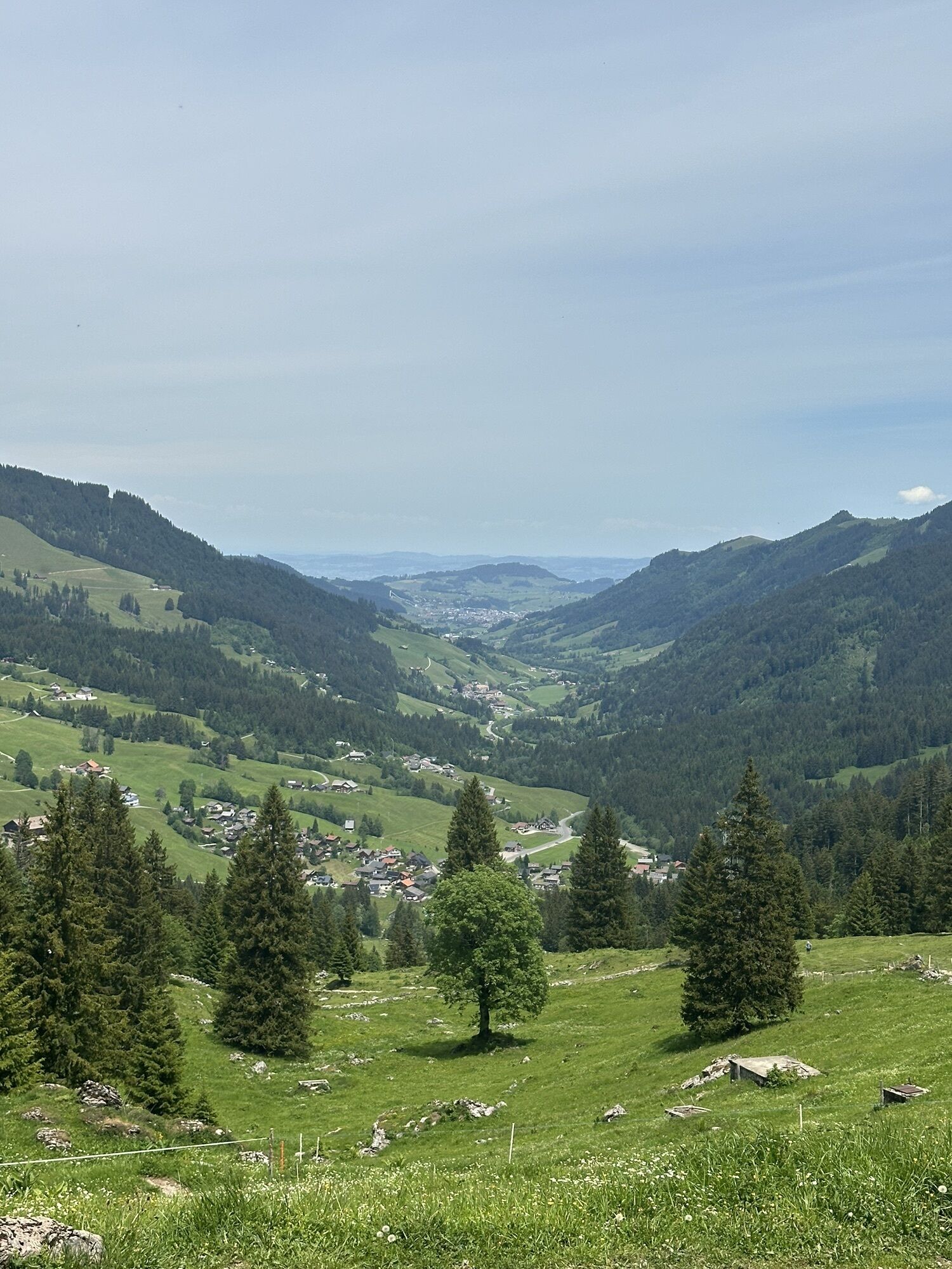
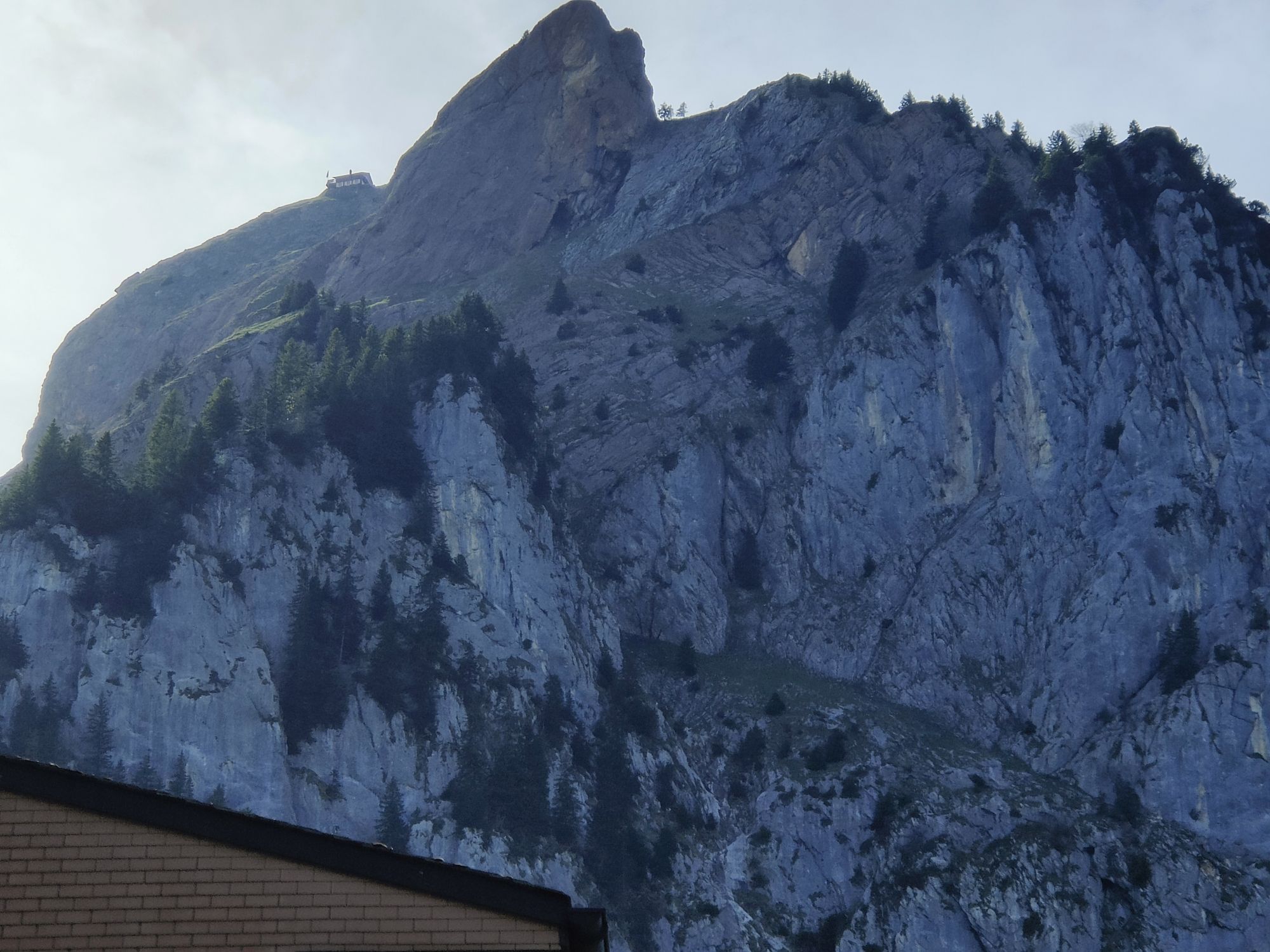
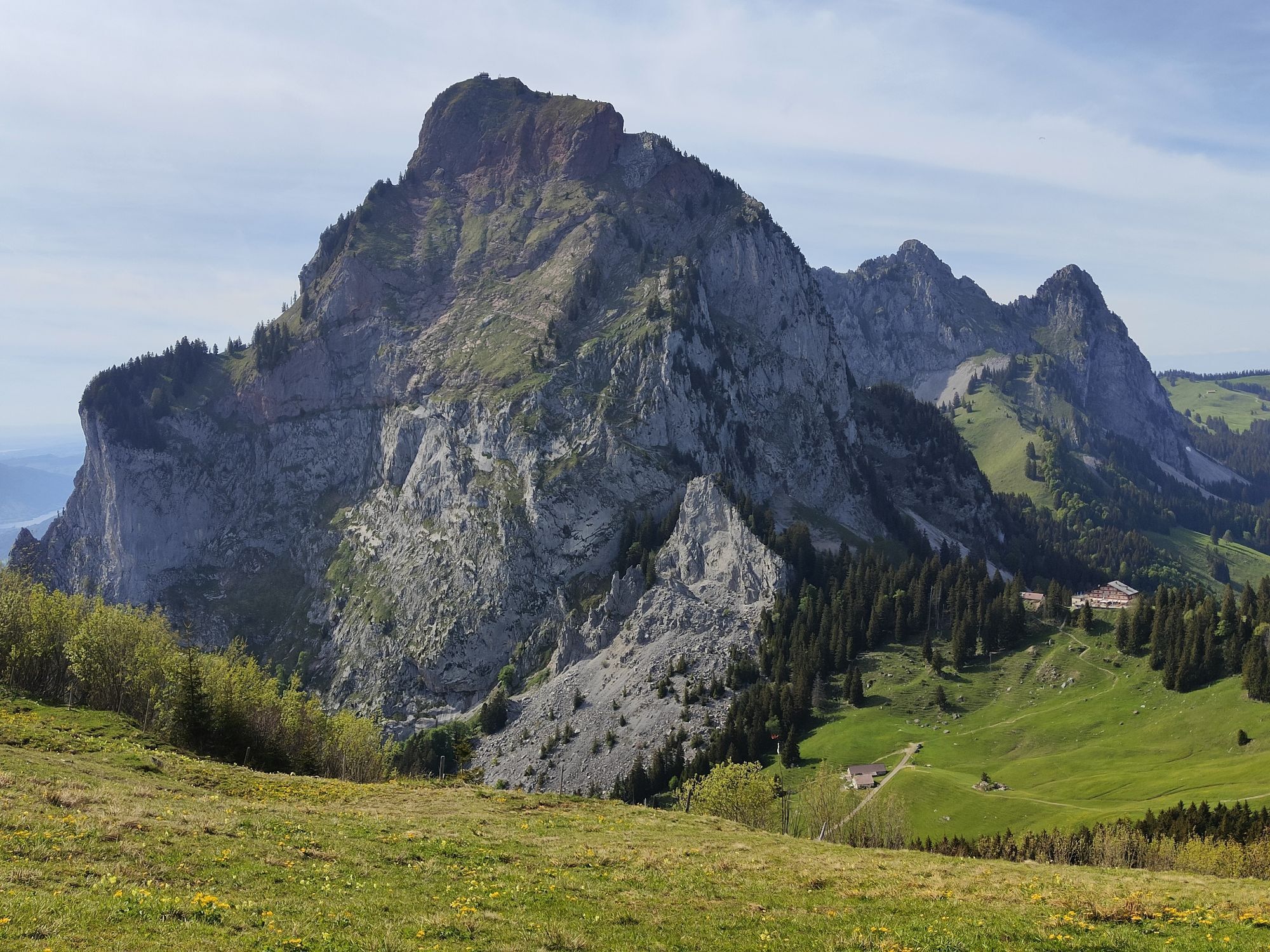
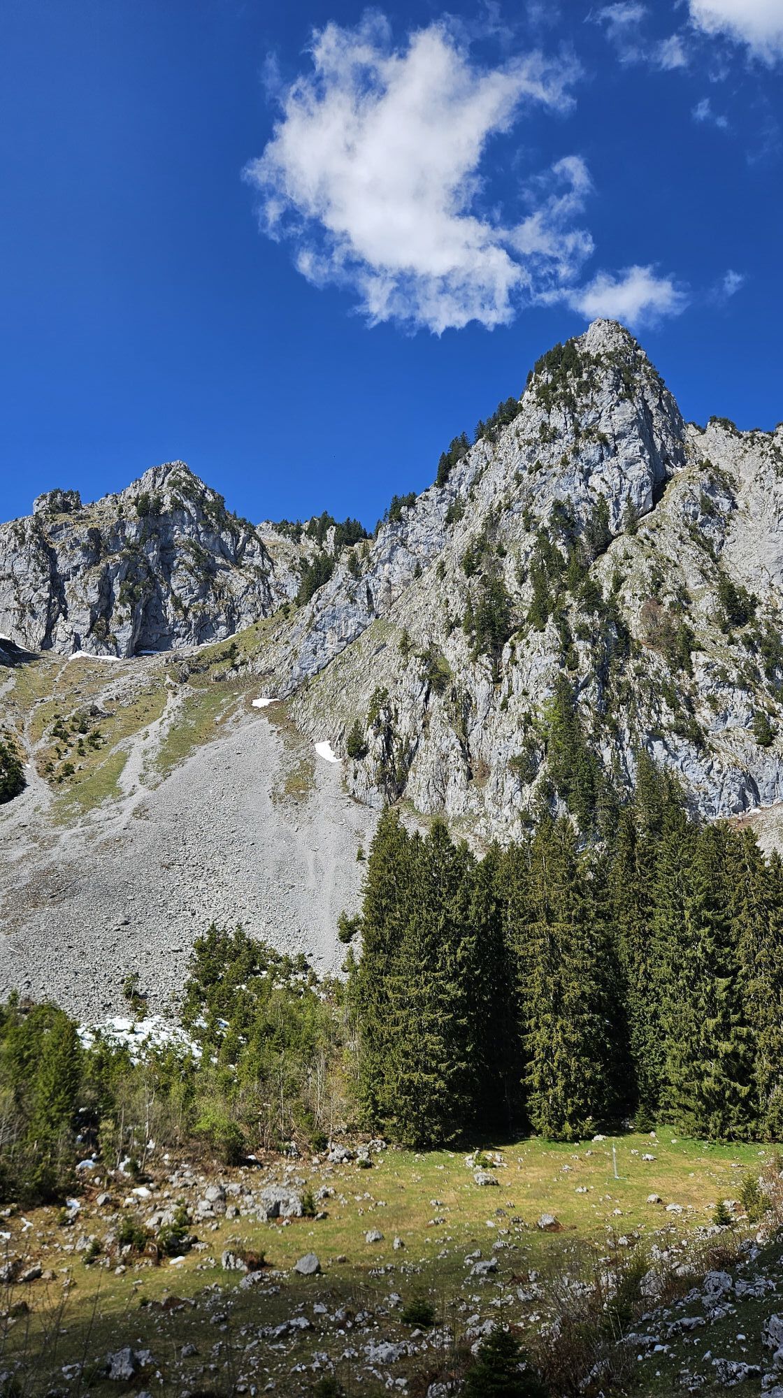
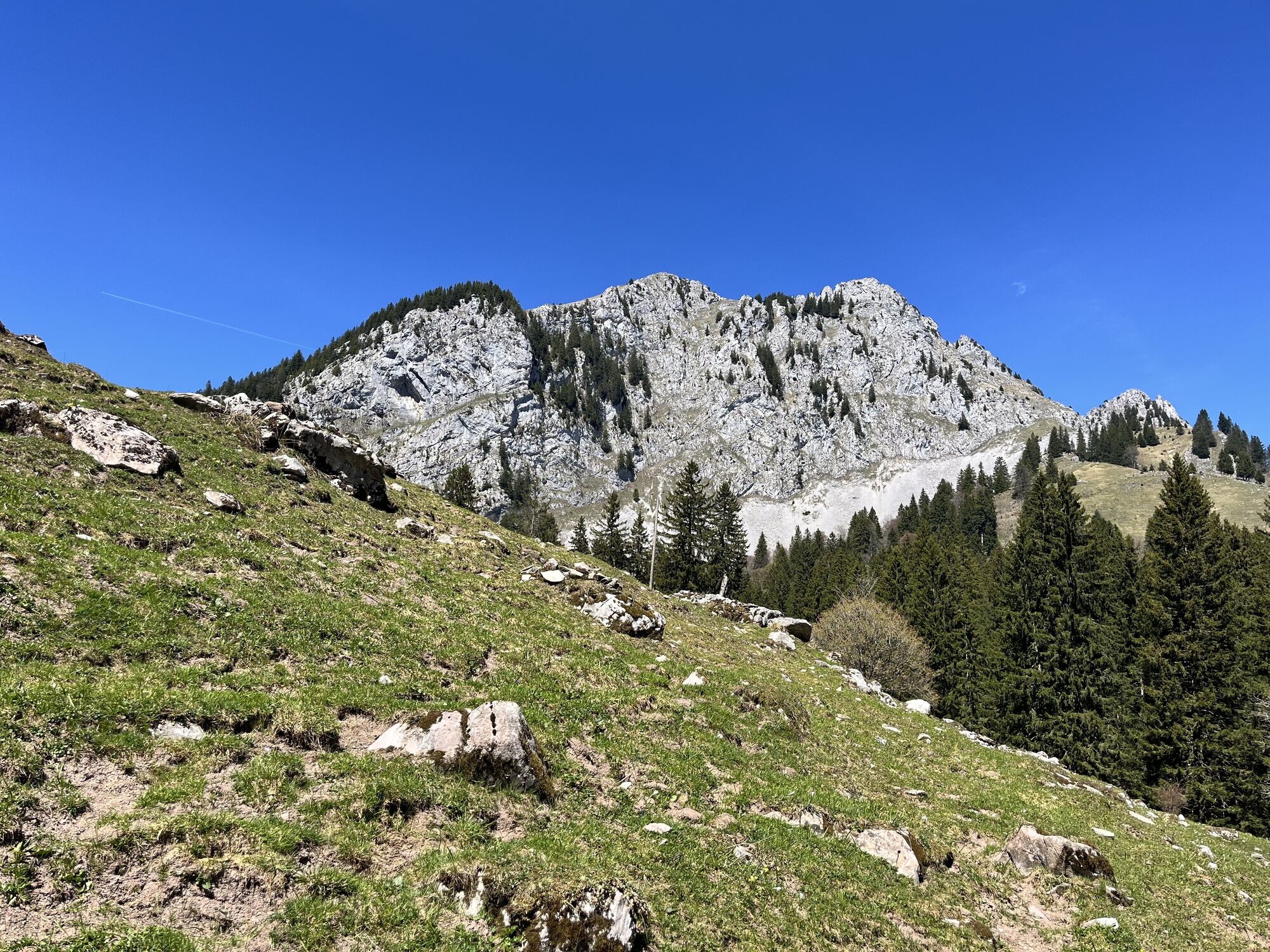
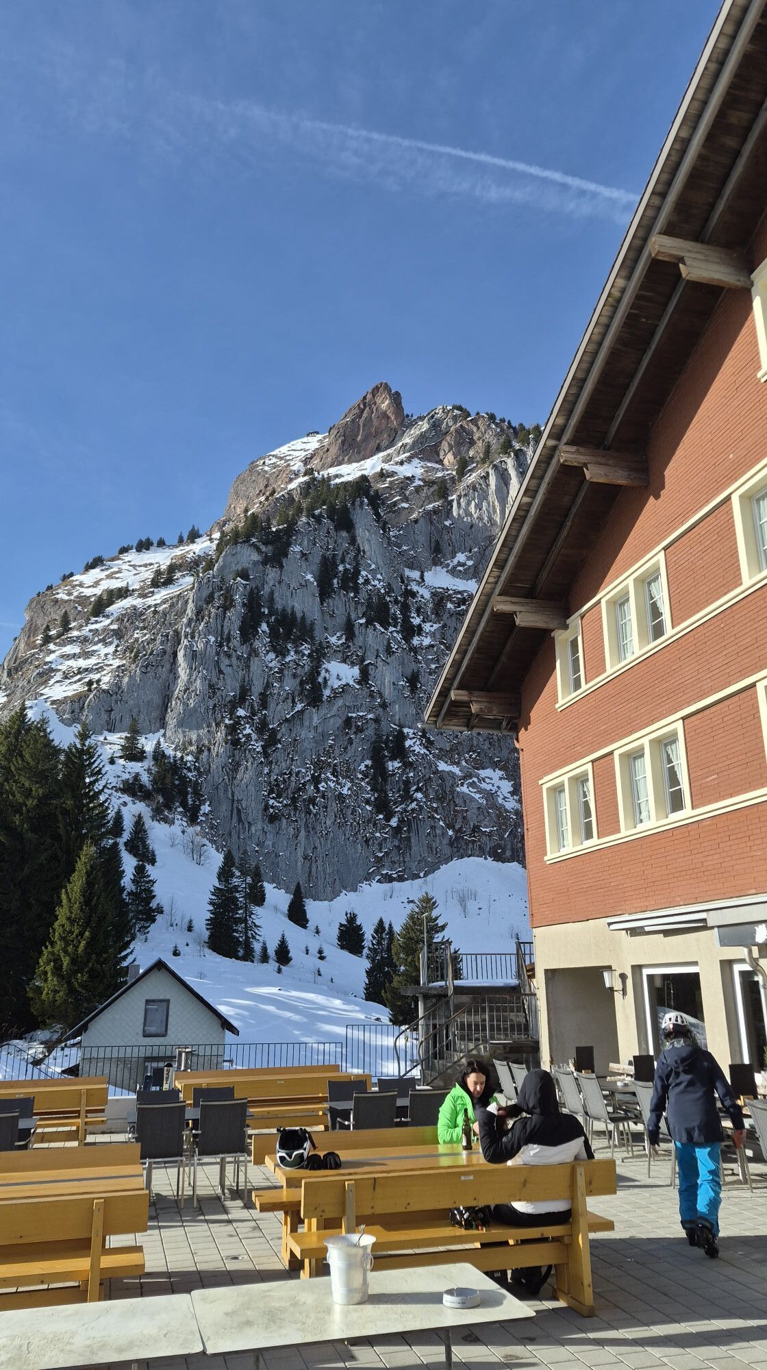
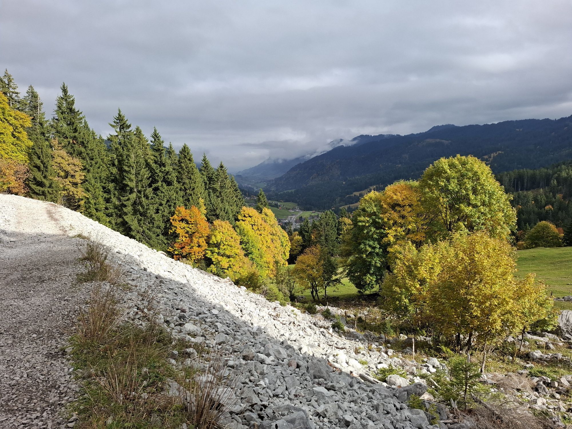
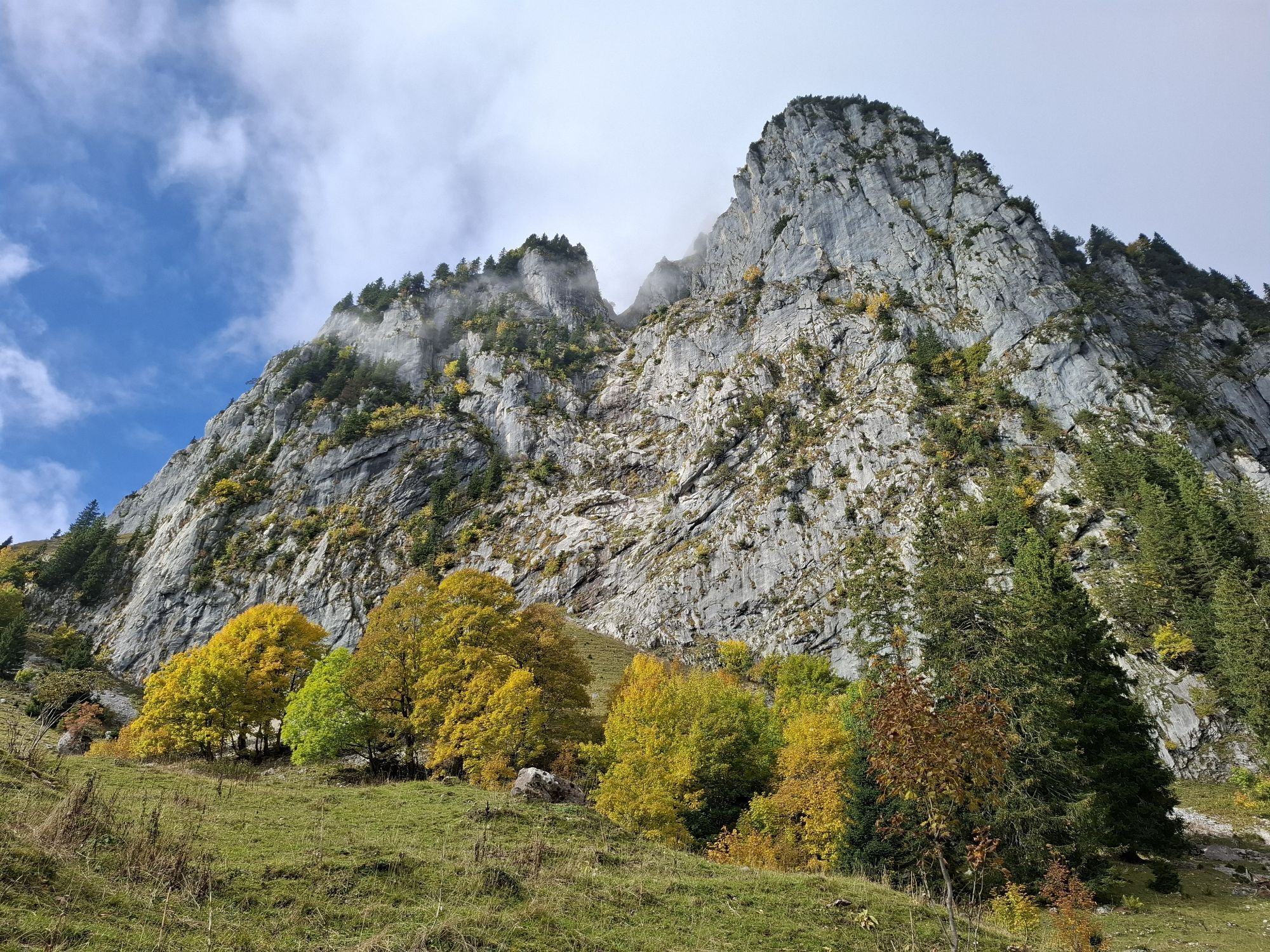
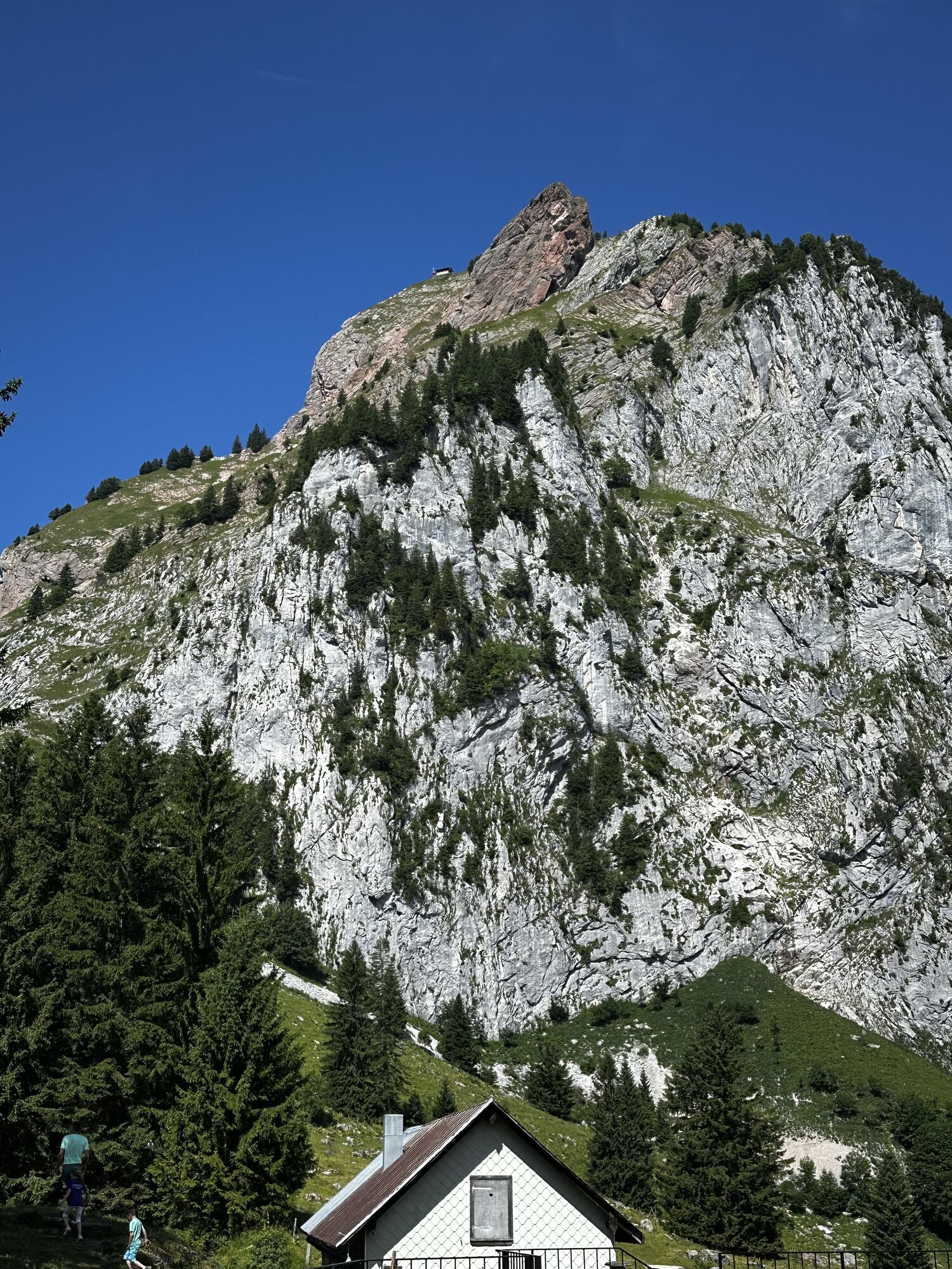
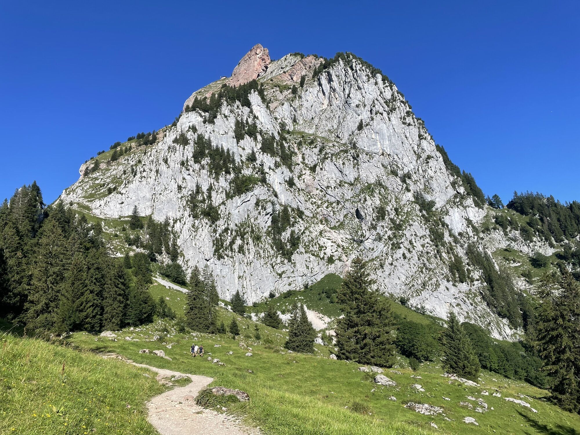
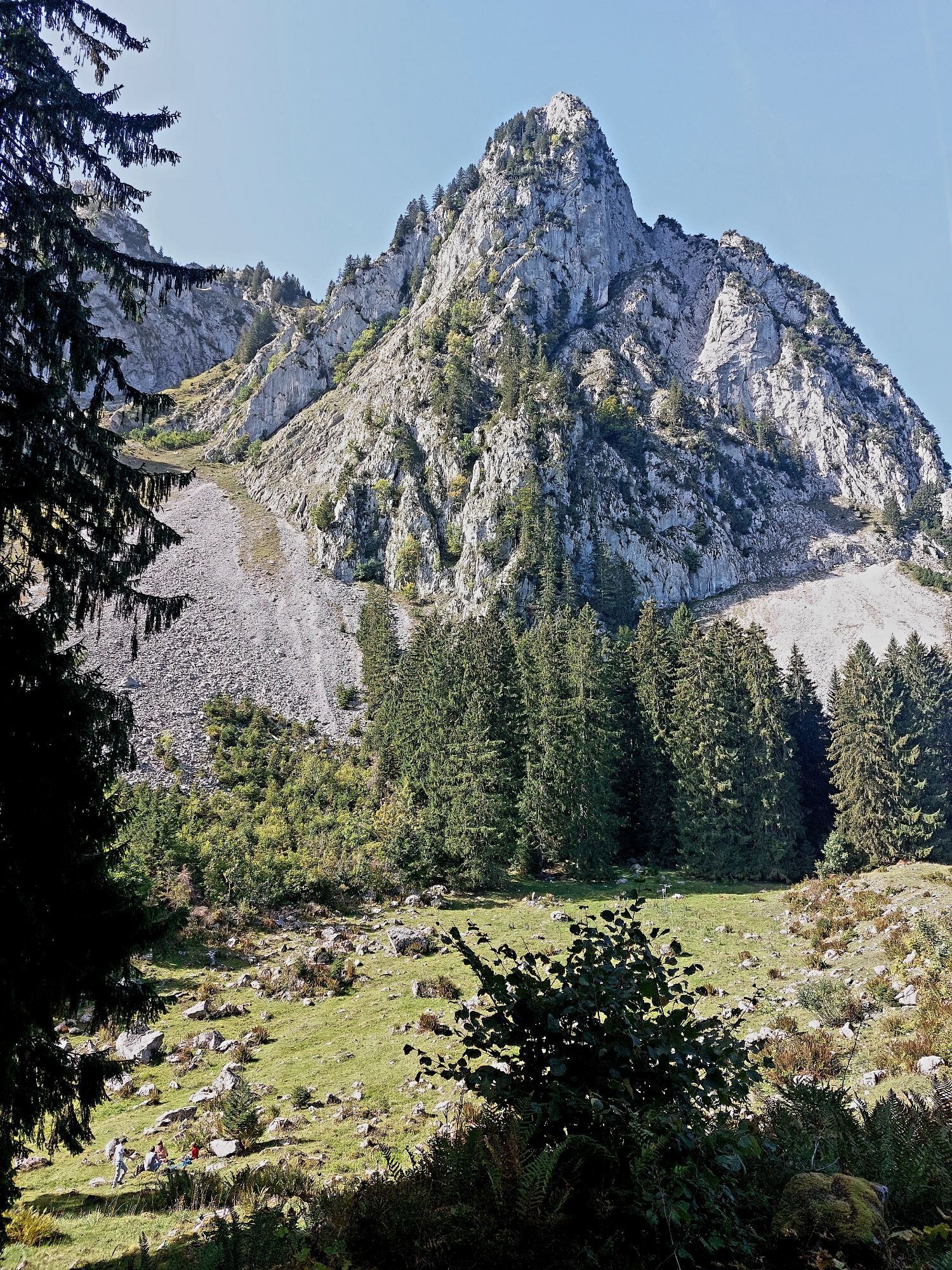
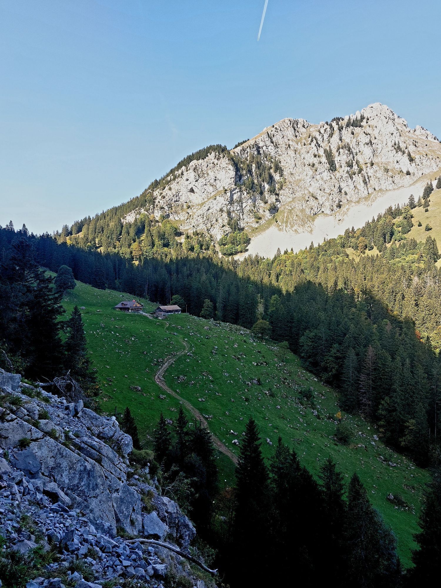
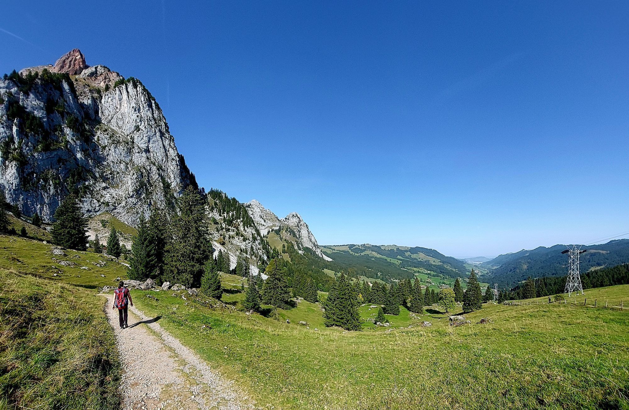
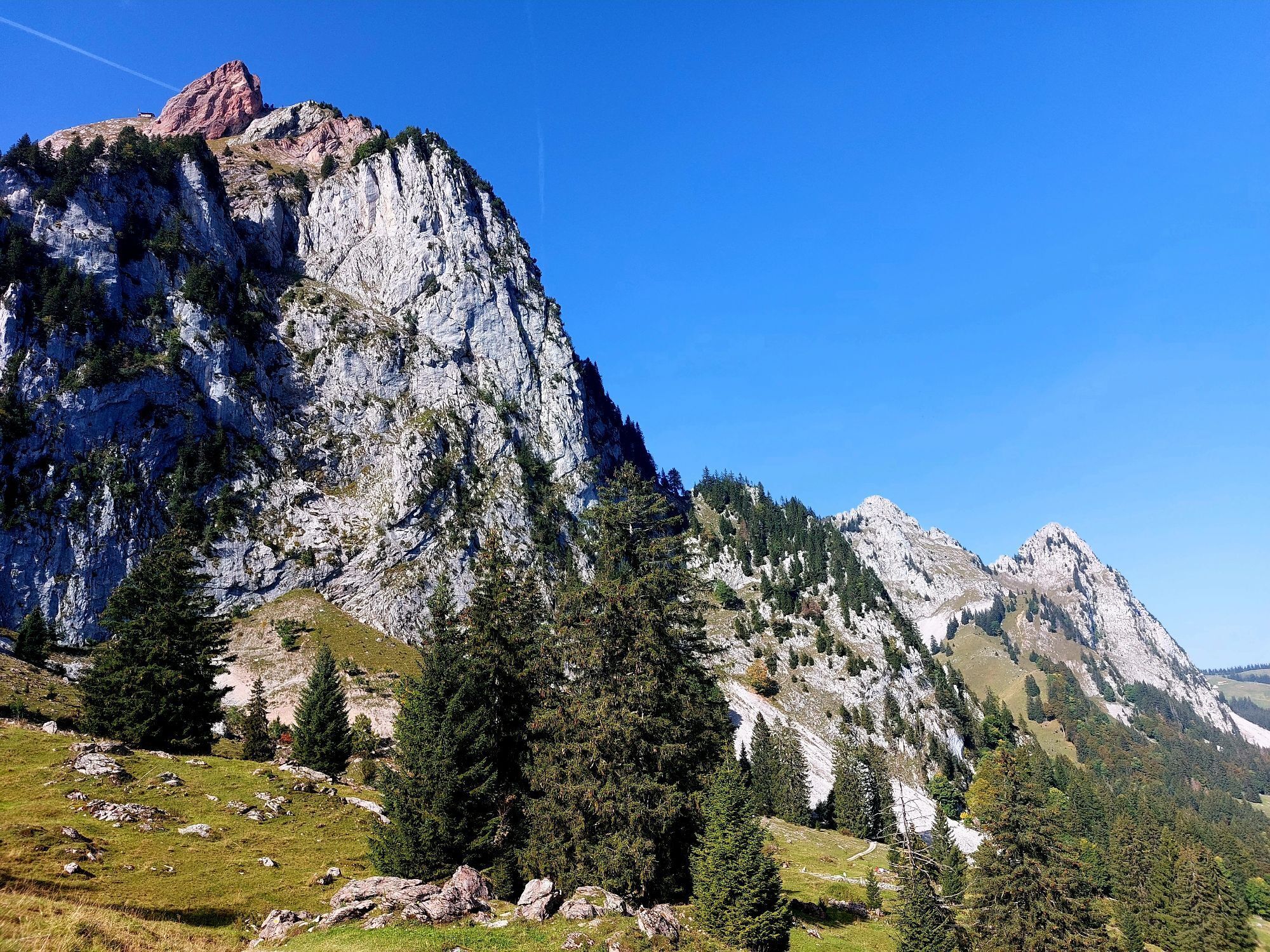
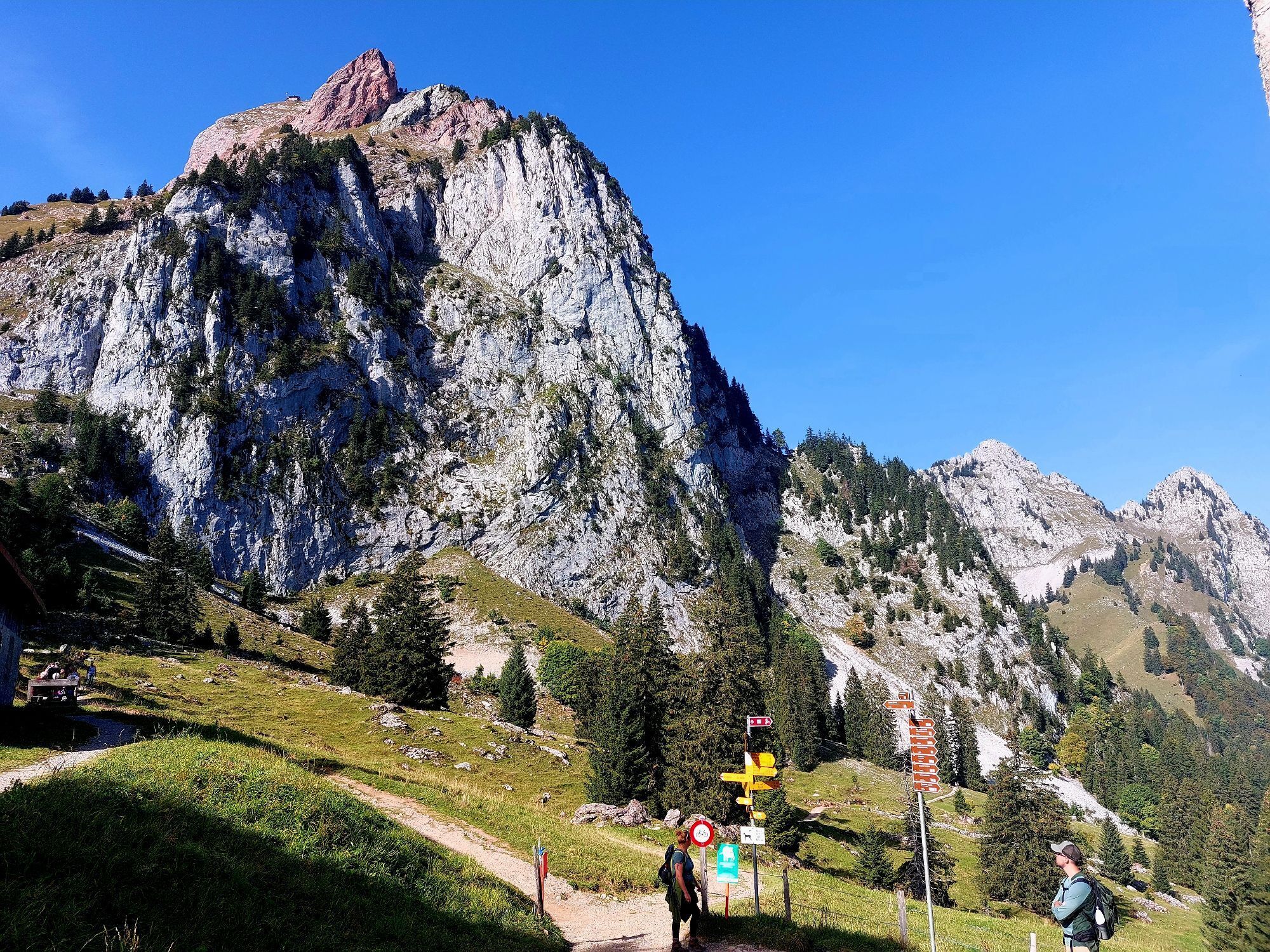
After the detour to the Hochstuckli, the trail leads you about 10 back in the direction of Bannegg to the turnoff to the hiking trail towards Haggenegg. From now on you have an impressive view of the Haggenspitz and the Kleinen Mythen. At Haggenegg, the Haggenegg Chapel awaits you, a gem of a special kind and also a wonderful photo motif. After Haggenegg, the section along the two Mythen begins, where chamois are most frequently encountered. The trail leads through beautiful nature and flowers via Alp Zwüschet Mythen to Holzegg. With a bit of luck you might spot a family of marmots here. From Holzegg, a final ascent to the Rotenflue awaits you before the Rotenflue cable car takes you back to the valley. From the valley station in Rickenbach SZ, you can take the bus back to your starting point.
The trail is around eleven kilometres long and is also perfectly suitable for children. Due to the many attractions along the way, the panoramic hike can also be easily extended to a day trip.

Bergstation Mostelberg (1173 m) - Herrenboden (1178 m) - Bannegg (1440 m) - Hochstuckli (1178 m) - Bannegg (1440 m) - Haggenegg (1440 m) - Alpwirtschaft Zwüschet Mythen (1353 m) - Berggasthaus Holzegg (1406 m) - Rotenflue / Bergstation Rotenfluebahn (1571 m)
Hiking shoes with good tread or trekking shoes, rain jacket, drink, food, possibly poles.
From Lucerne, take the A2/E35 motorway towards Zurich/Zug, continue on the A4/E41 towards Schwyz and take exit 39 Schwyz. Follow the signs to Sattel; the valley station is in Sattel on the right-hand side. (approx. 10 min) .
Return journey:
Auto AG Schwyz bus from Rickenbach SZ station, Rotenfluebahn via Schwyz, Zetrum to Sattel, valley station (approx. 30 min.).Large car park at the Sattel-Hochstuckli valley station.
Public transport ticket "Mythenrundreise": Sattel-Hochstuckli gondola / Rotenfluebahn / bus back to the starting point. Purchase on the bus, at the AAGS, at the valley stations and at SBB RailAway.
Webcams de la tournée
-
Bergstation Brunni-Haggenegg
-
Bärenfang
-
Skilifte Brunni-Haggenegg, Alpthal
-
Handgruobi Talstation
-
Passhöhe Ibergeregg
-
Talstation Skilift Brunni
-
Passhöhe Ibergeregg
-
Mittelstation Grossenboden
-
Skywalk Ost
-
Bergstation Brünnelistock
-
Bergstation Stägleren/Rotenflue
-
Mostelberg - Sattel
-
Talstation Skilift Brunni
-
Mythenpark
-
Mostelberg Engelstock
-
Rotenflue
-
Schwyz
-
Muotathal
-
Holzegg Bergstation
-
Rothenthurm
-
Rothenthurm
Obtenez un aperçu
Toujours en direct avec plus de 9.500 webcams. En tant qu'utilisateur Pro, vous pouvez désormais voir les webcams correspondantes à de nombreuses randonnées dans l'application de randonnées de bergfex. Vous pouvez ainsi voir directement les conditions actuelles.

Parcours populaires à proximité
-
4,6
Gratwanderung Klingenstock
facileRandonnée 9,36 km -
4,6
Rundwanderung
facileRandonnée en montagne 12,9 km -
4,3
Mythenweg - Bergwanderung auf den Grossen Mythen
difficileRandonnée 3,40 km -
4,5
Kleiner Mythen
moyenRandonnée 6,31 km -
4,5
Brunni-Feuerstellen-Rundwanderung
facileRandonnée 11,5 km -
4,7
Mythen via Ibergeregg
moyenRandonnée 9,73 km -
3,9
Gnipen - ab Goldau - Rundwanderung
moyenRandonnée 10,6 km -
5,0
Wanderung entlang der Mythen, Alp "Zwüschet-Mythen"
moyenRandonnée 10,5 km -
4,8
Holzegg - Grosser Mythen - Restaurant Grosser Mythen - Alpwirtschaft Brunnialp
moyenRandonnée 5,66 km -
4,8
Rundwanderung: Alplersee - Rophaien - Spilauersee - Lidernenhütte
difficileRandonnée 15,5 km
Randonnée et suivi


Ne manquez pas les offres et l'inspiration pour vos prochaines vacances
Votre adresse électronique a été ajouté à la liste de diffusion.





