







Brunnen Tour

The starting point is at the historic Gasthaus Ochsen in Brunnen. Heading in the direction of Unter- und Oberschönenbuch, you will soon see the Ingenbohl Monastery on the right-hand side of the hill and...
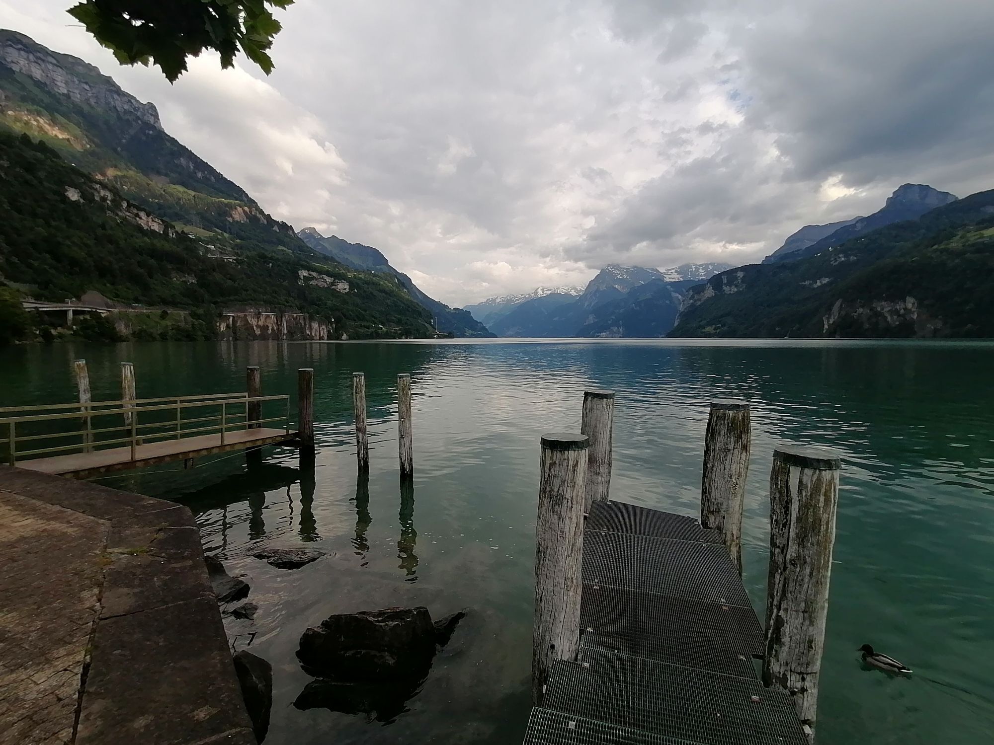
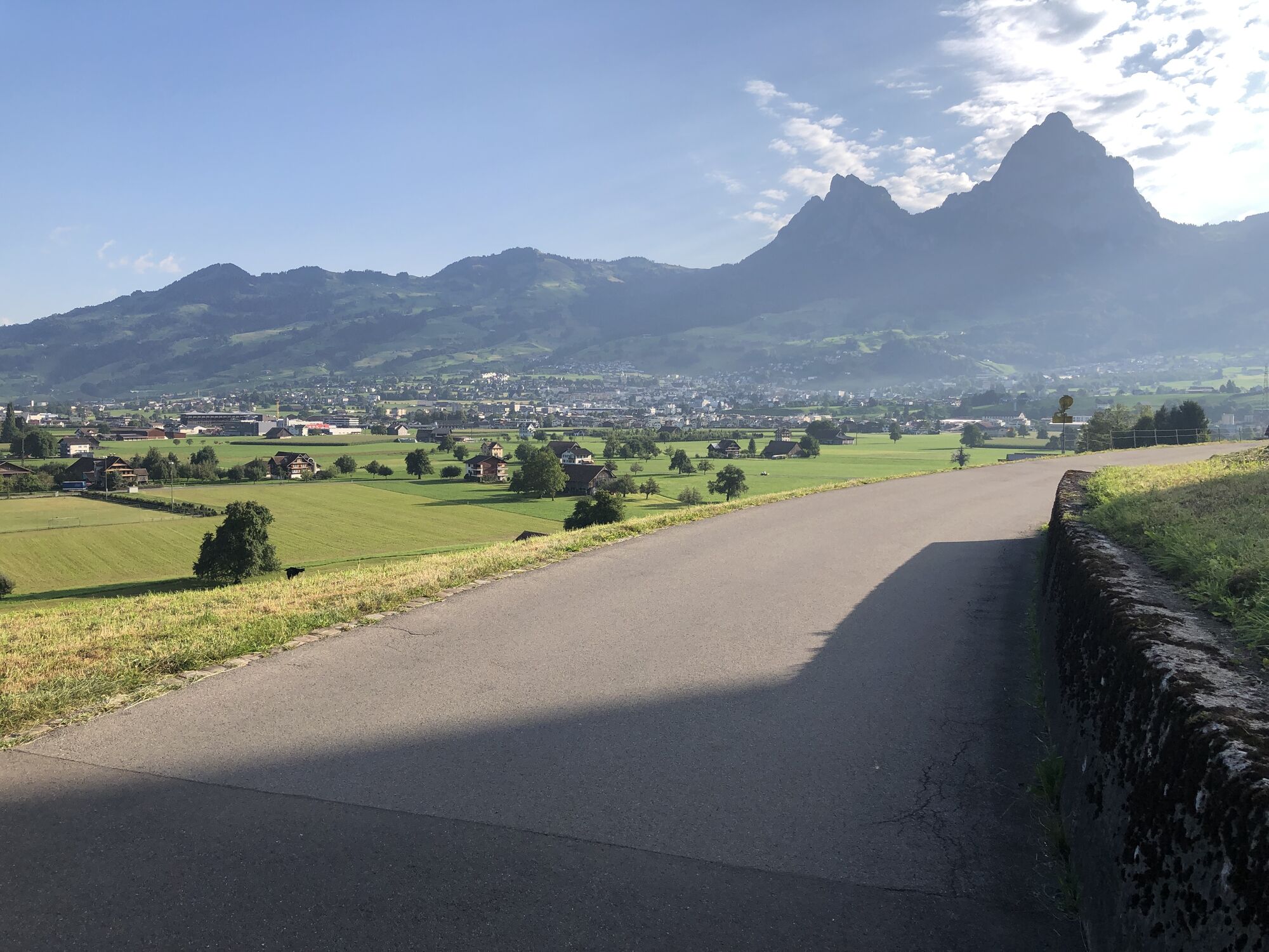
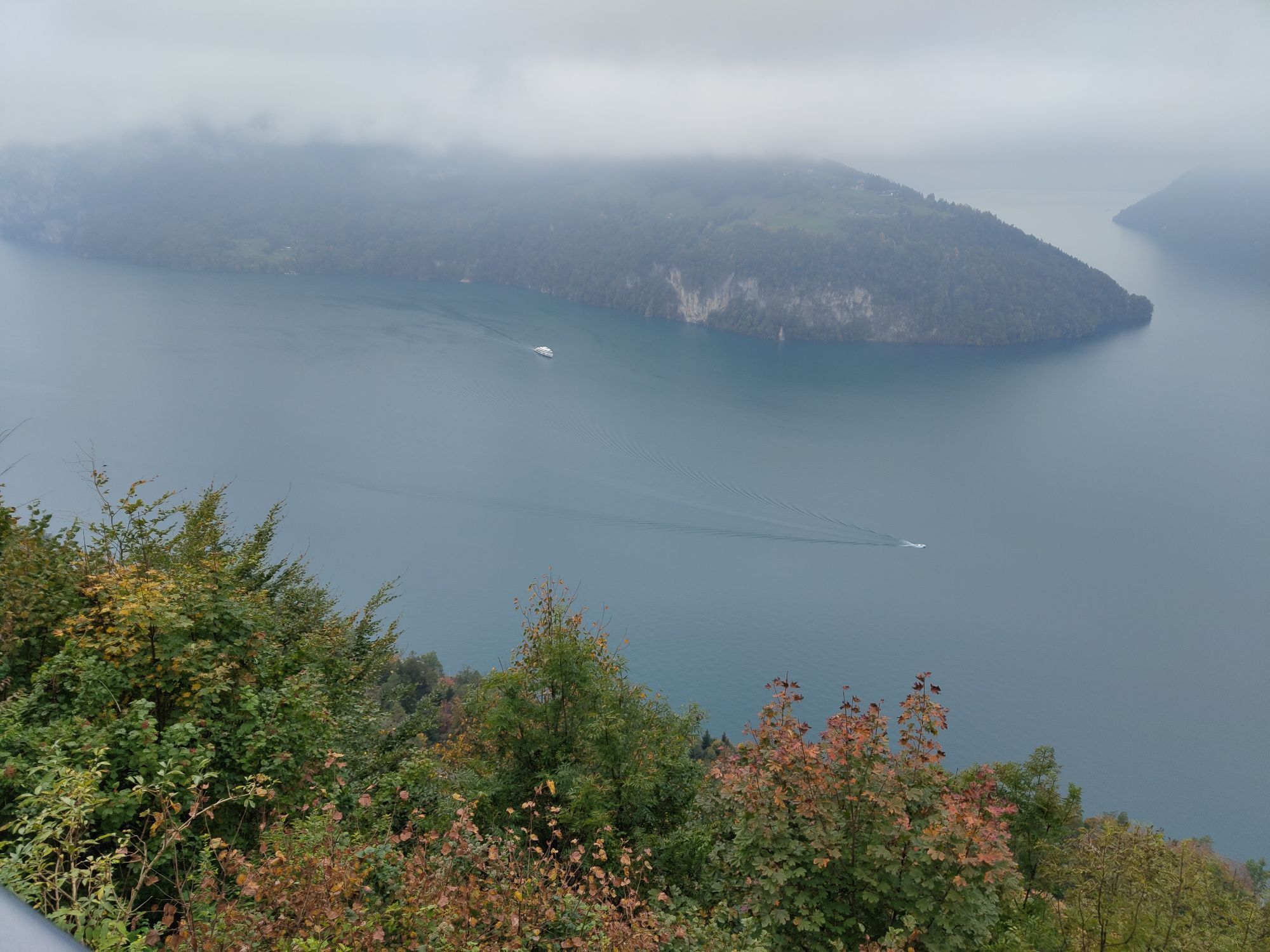
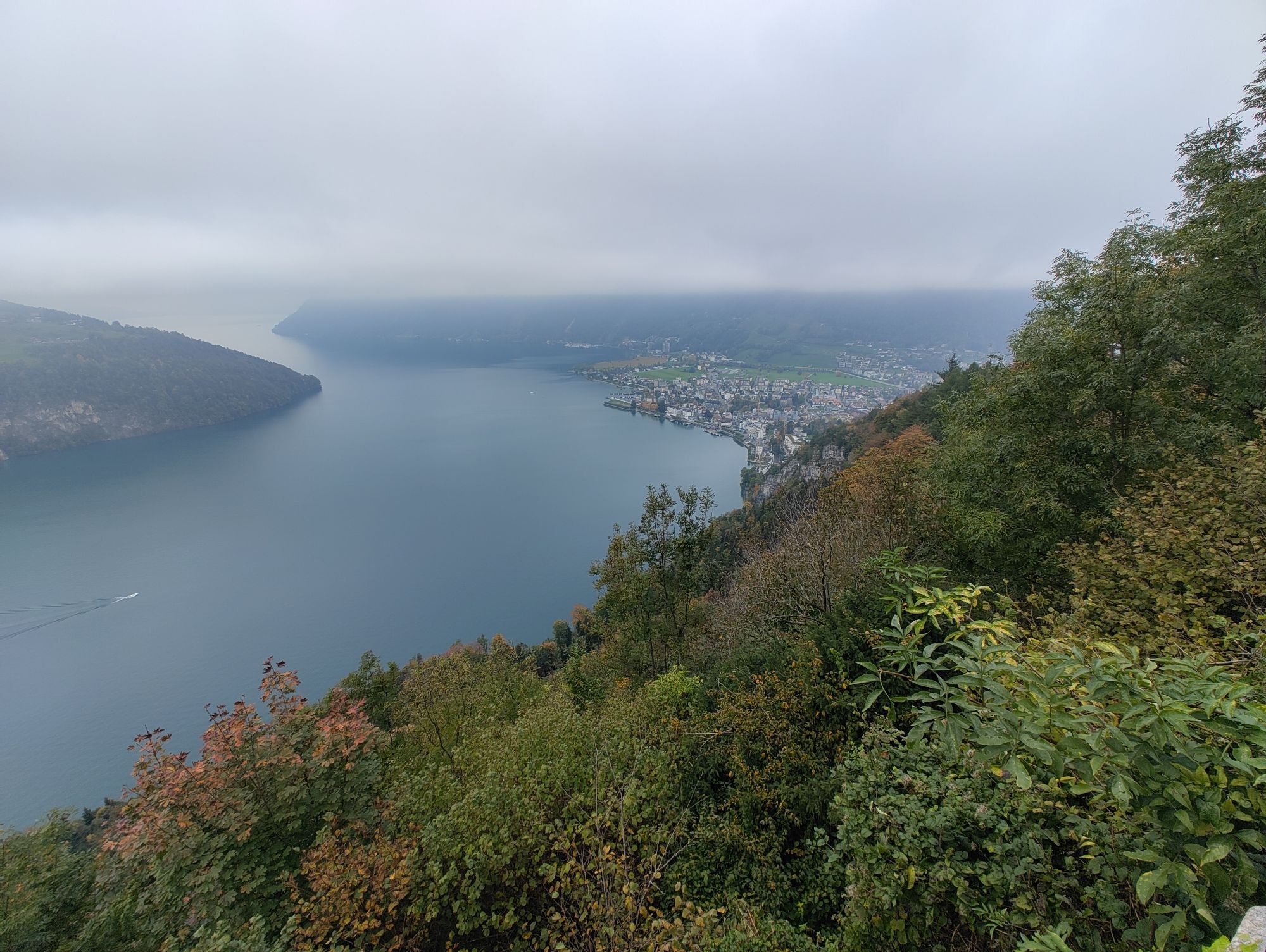
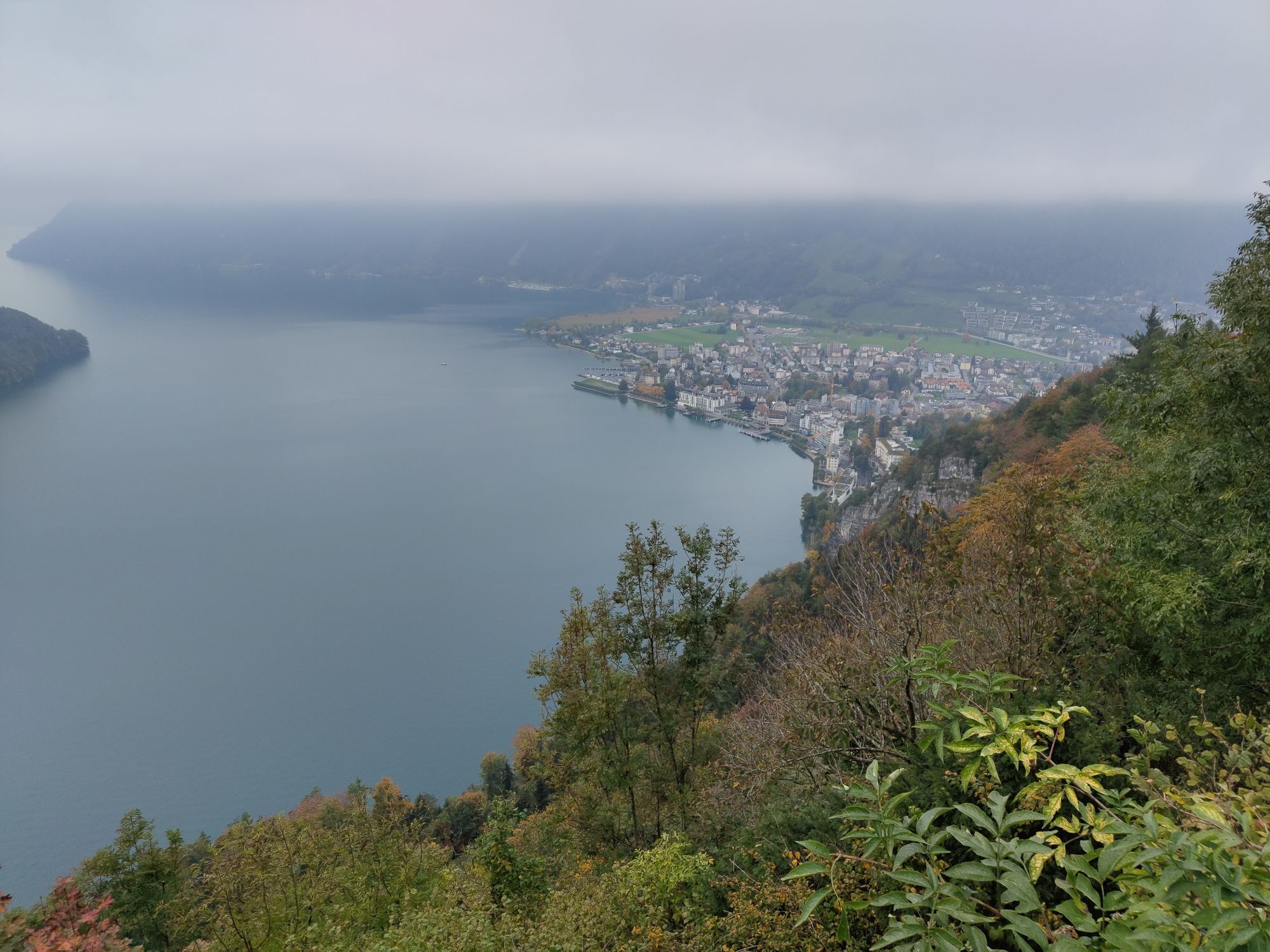
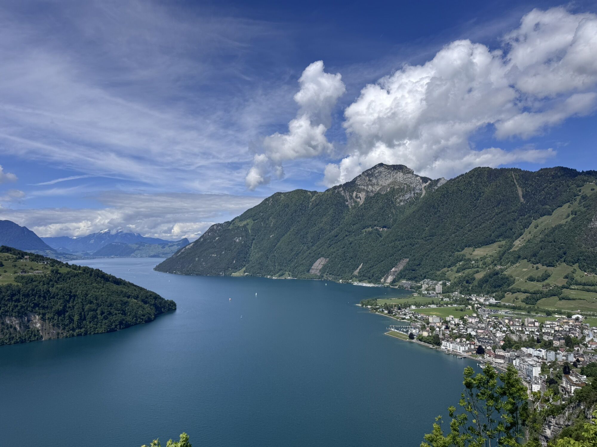
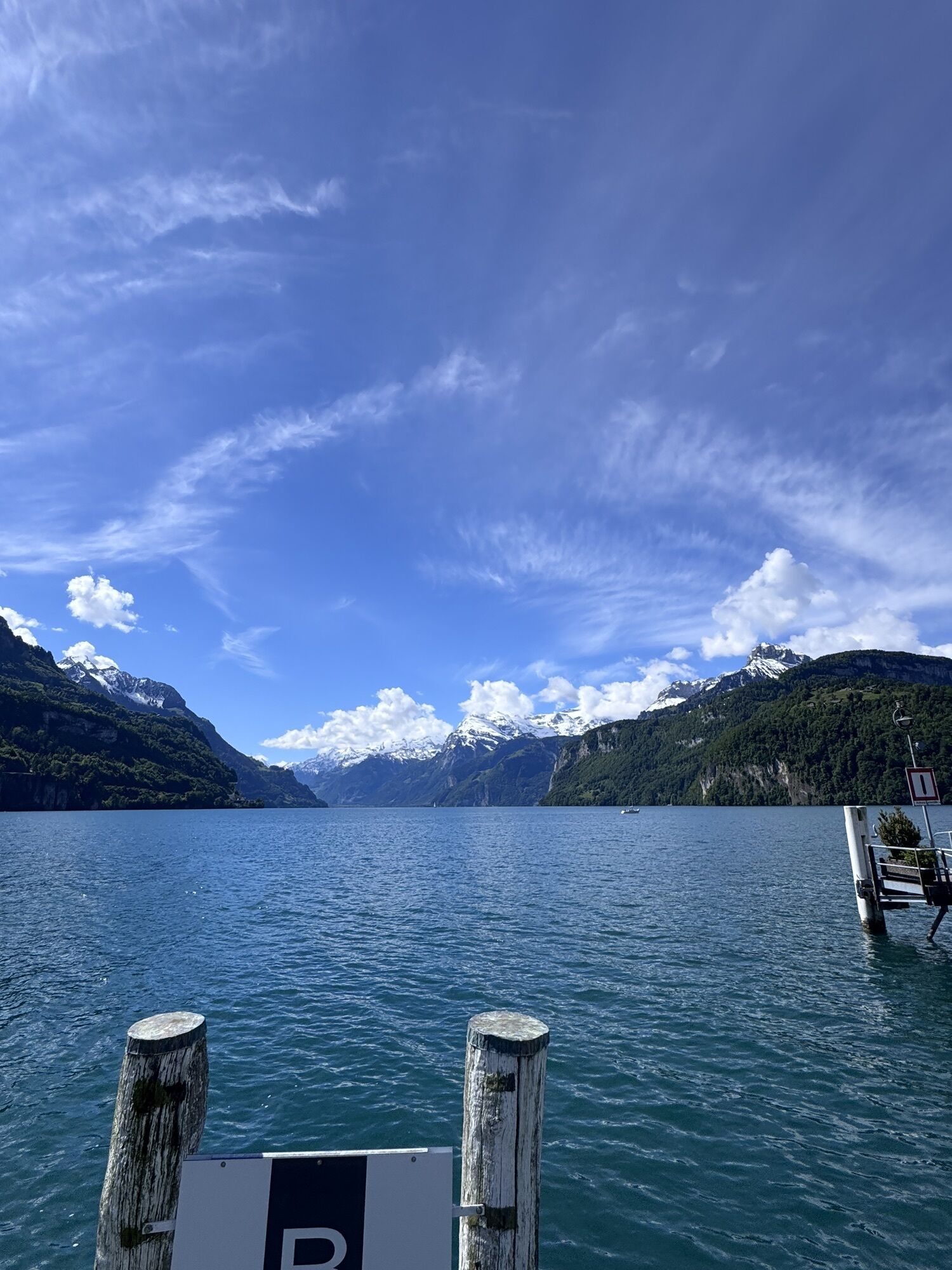
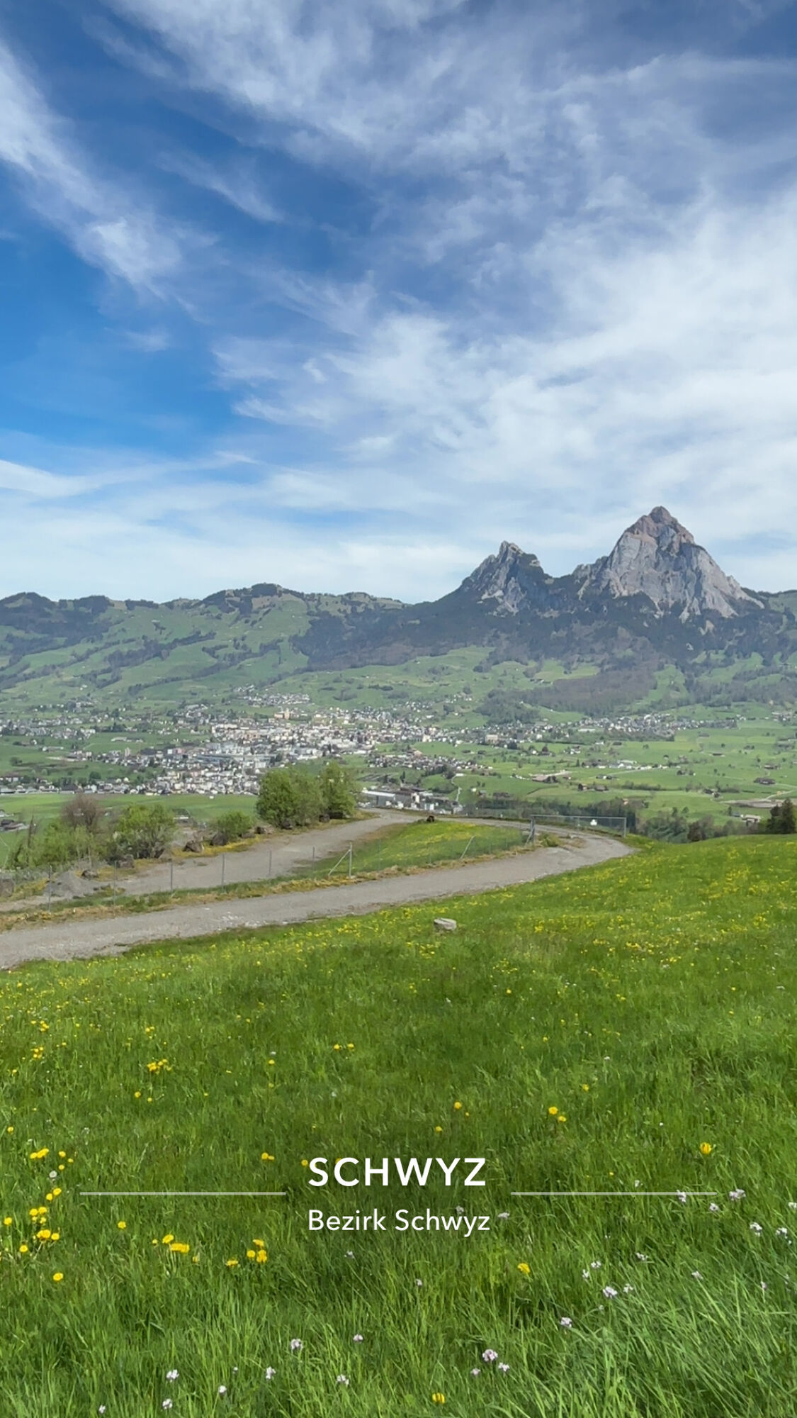
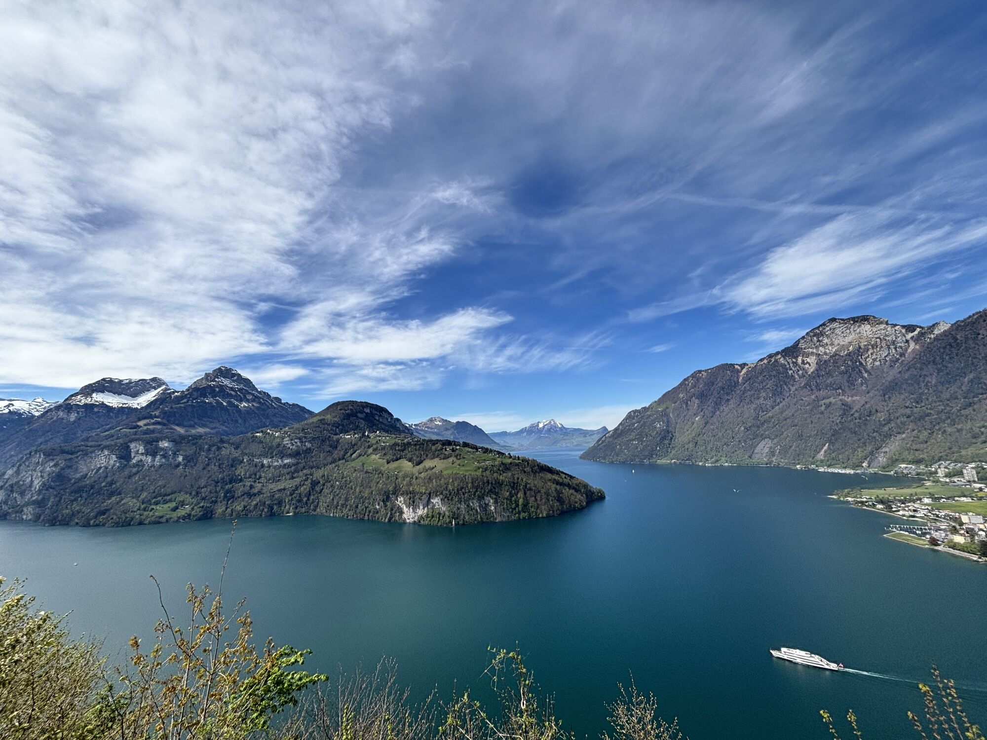
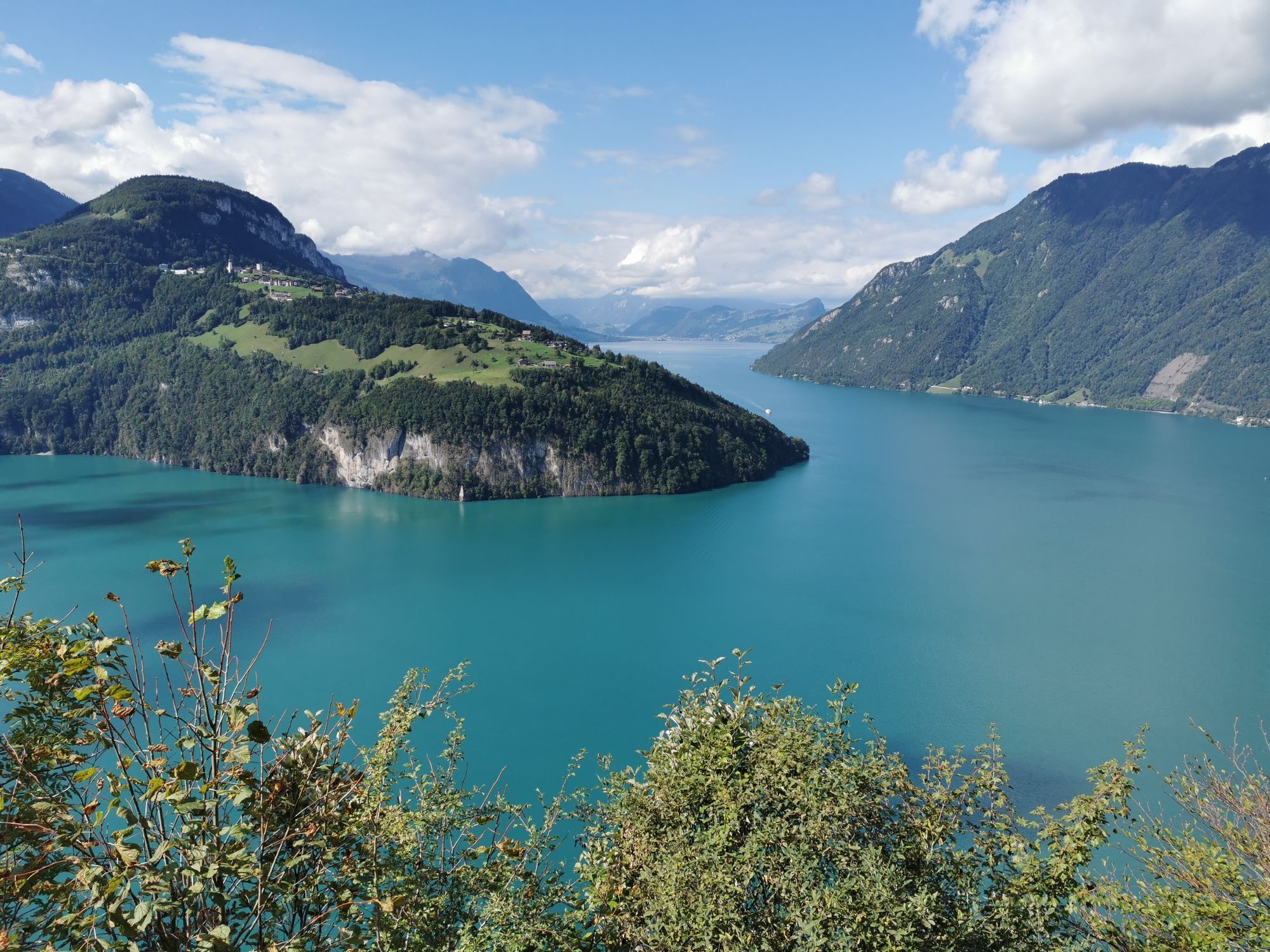
The starting point is at the historic Gasthaus Ochsen in Brunnen. Heading in the direction of Unter- und Oberschönenbuch, you will soon see the Ingenbohl Monastery on the right-hand side of the hill and ride uphill on a little-used asphalt road to the Schwyzerhöhe, the highest point of the route. The view of the entire Schwyz valley basin with the majestic Mythen in the background is breathtaking.In a rapid ride you descend to the village of Morschach and from there immediately uphill again to the Axenstein. Take another short breather and let yourself be overwhelmed by the magnificent view of the fjord-like Lake of Uri with its surrounding 3000-metre mountains and enjoy the far-reaching view all the way to the Rigi and the Pilatus as well as down to the Rütli meadow. You will certainly agree with the inscription of the painter Alexandre Calame visible below you "Le plus beau pays du monde".A beautiful forest path with a pleasant gradient leads you parallel to the "Swiss Path" back to the beautiful village of Brunnen directly on Lake Lucerne. Leave your mountain bike to rest and treat yourself to an ice cream, a coffee, a swim in the lake, a round of mini golf or a visit to the unique Victorinox Museum in the middle of the village centre.

Brunnen - Oberschönenbuch - Schwyzer Höhe - Morschach - Axenstein - Brunnen
At Lucerne, take the A14 towards Zug. At the Rütihof motorway junction, take the A4 motorway in the direction of Brunnen. Take the motorway exit Brunnen and follow the signs towards Brunnen am See.
Coming from Lake Constance and Rapperswil:
From Rapperswil, drive in the direction of Gotthard/Schwyz. At Pfäffikon, take the A3 motorway for a short distance in the direction of Gotthard. Take the first exit in the direction of Gotthard/Schwyz. The country road leads you via Rothenthurm and Sattel to Schwyz. In Schwyz, drive in the direction of Brunnen, then Brunnen am See.
Coming from Gotthard-Altdorf:
Take the bypass (tunnel) at Flüelen in the direction of Schwyz. After the Mositunnel, leave the motorway at exit 40 Brunnen (direction Weggis/Gersau/Schwyz/Brunnen). Drive in the direction of Brunnen am See.
Take the train to Brunnen, railway station. Then take the bus towards "Morschach, Luftseilbahn" and get off at the bus stop "Brunnen, See/Schiffstation".
There are individual paid parking spaces at the lake.
The tour is signposted throughout with No. 803.
Webcams de la tournée
-
Stoos - Fronalpstock
-
Stoos - Fronalpstock
-
Stoos - Fronalpstock
-
Stoos - Fronalpstock
-
Stoos - Fronalpstock
-
Stoos - Fronalpstock
-
Stoos - Fronalpstock
-
Stoos Dorf
-
Stoos Dorf
-
Stoos Dorf
-
Stoos Dorf
-
Stoos Dorf
-
Stoos Dorf
-
Stoos - Fronalpstock
-
Stoos Dorf
-
Stoos Dorf
-
Brunnen am Vierwaldstättersee
-
Schwyz
-
Morschach
-
Muotathal
-
Rütliwiese

Parcours populaires à proximité
-
4,6
Gratwanderung Klingenstock
facileRandonnée 9,36 km -
4,6
Rundwanderung
facileRandonnée en montagne 12,9 km -
4,3
Mythenweg - Bergwanderung auf den Grossen Mythen
difficileRandonnée 3,40 km -
4,5
Kleiner Mythen
moyenRandonnée 6,31 km -
3,9
Rundweg Seebodenalp Küssnacht am Rigi, Schweiz
moyenRandonnée 9,56 km -
4,5
Brunni-Feuerstellen-Rundwanderung
facileRandonnée 11,5 km -
4,7
Mythen via Ibergeregg
moyenRandonnée 9,73 km -
4,8
Holzegg - Grosser Mythen - Restaurant Grosser Mythen - Alpwirtschaft Brunnialp
moyenRandonnée 5,66 km -
3,9
Gnipen - ab Goldau - Rundwanderung
moyenRandonnée 10,6 km -
5,0
Wanderung entlang der Mythen, Alp "Zwüschet-Mythen"
moyenRandonnée 10,5 km
Randonnée et suivi


Ne manquez pas les offres et l'inspiration pour vos prochaines vacances
Votre adresse électronique a été ajouté à la liste de diffusion.





