







Walk in the forest in Valgerola

Niveau de difficulté: T1
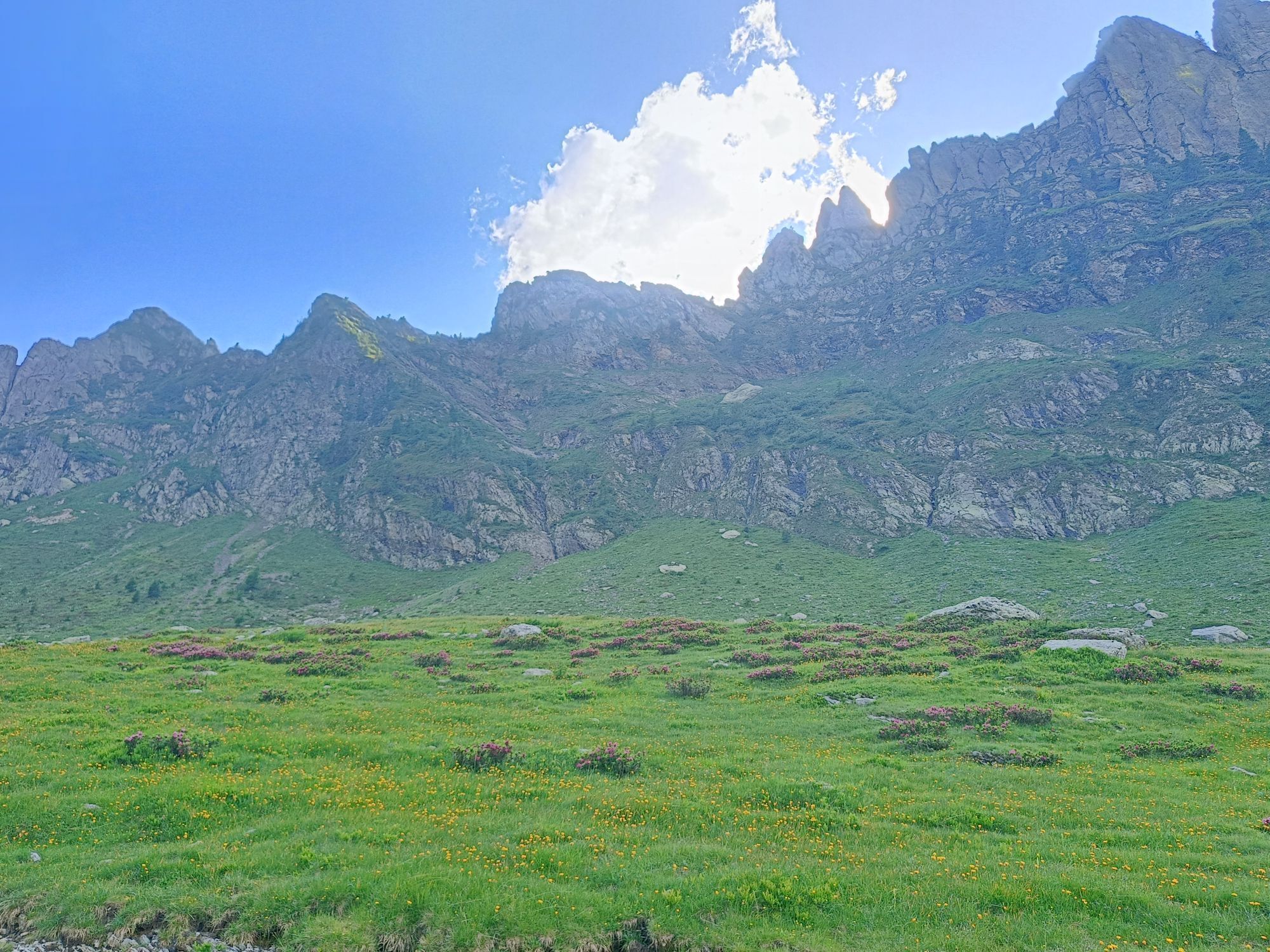
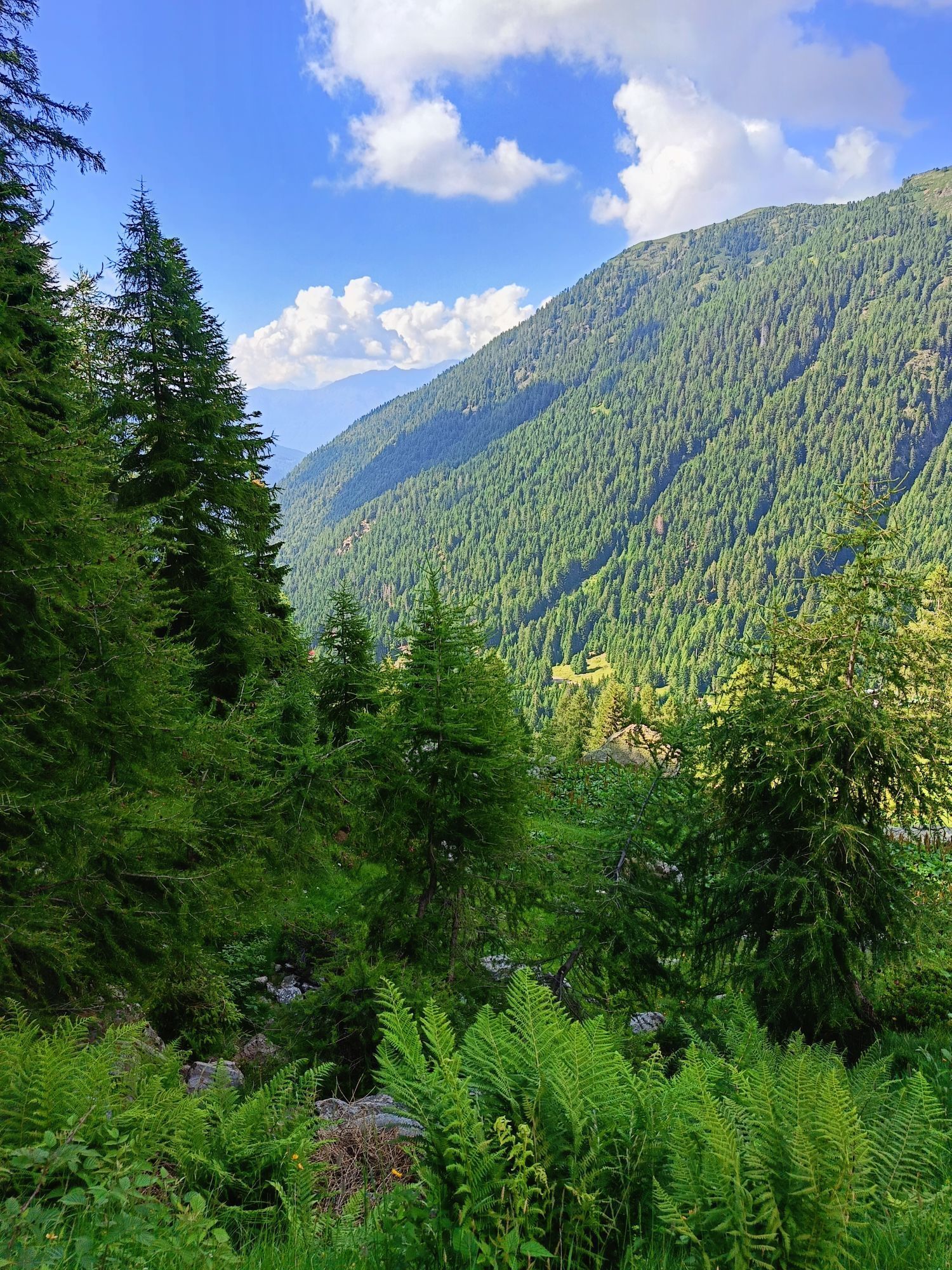
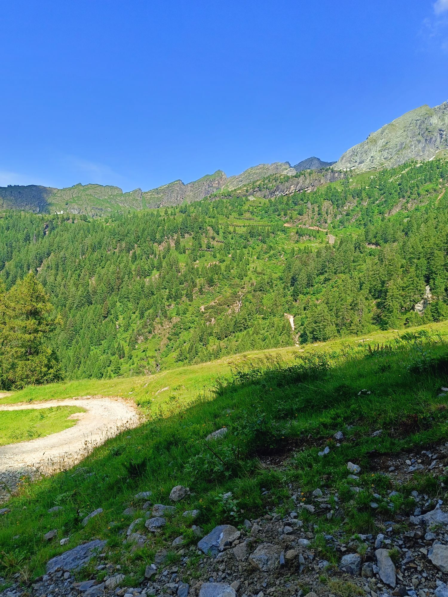
The route - cool in summer and magical in winter - is in a beautiful fir forest, between the steep slope and the narrow valley bottom where the stream flows.
The path follows a dirt track, also the "Health...
The route - cool in summer and magical in winter - is in a beautiful fir forest, between the steep slope and the narrow valley bottom where the stream flows.
The path follows a dirt track, also the "Health Path" of 10 stages. The photo spot is the passage on the wooden bridge with the rocky profile of the Ponteranica Group in the background.
The direction of this itinerary is optional: from Fenile to Pescegallo, or vice versa. The advice is to start from Fenile. The return follows the same itinerary.


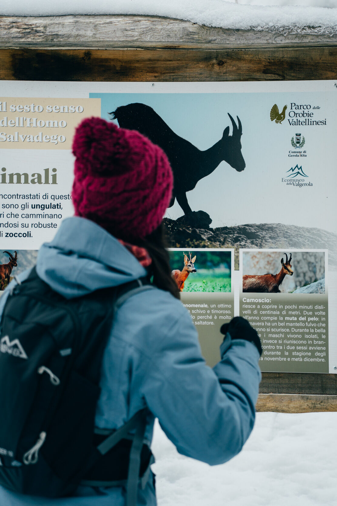

Fenile - bridge over the stream - Health Path - Pescegallo
Oui
Follow SP 7 of the Valgerola from Morbegno to Fenile di Gerola Alta
T1
In the locality of Fenile, near the parking lot, there is a picnic area equipped with a barbecue area and tables.
In winter, when there is snow, the return is also fun to take down with the sled.
Parcours populaires à proximité
-
4,6
Monte Legnone- höchste gipfel der Comer See
moyenRandonnée 11,6 km -
Culmine San Pietro - rifugio Cazzaniga Merlin
facileRandonnée 19,9 km -
5,0
La Colmen di Dazio - Une oasis méditerranéenne au milieu des Alpes
facileRandonnée 5,62 km -
5,0
Via Priula da Mezzoldo a Ca’ San Marco
facileRandonnée 9,65 km -
5,0
Lago di Ponteranica inferiore
moyenRandonnée 6,52 km -
5,0
Costiera dei Cech entre forêts, vignobles et villages
moyenRandonnée 5,43 km -
Parcours des lacs de la Valgerola
difficileRandonnée 14,9 km -
Alpe Piazza Rifugio
facileRandonnée 3,06 km -
5,0
Rifugio Nicola
moyenRandonnée 12,8 km -
Boucle Refuge Alpe Piazza avec Joëlette
moyenRandonnée 8,87 km
Randonnée et suivi


Ne manquez pas les offres et l'inspiration pour vos prochaines vacances
Votre adresse électronique a été ajouté à la liste de diffusion.





